









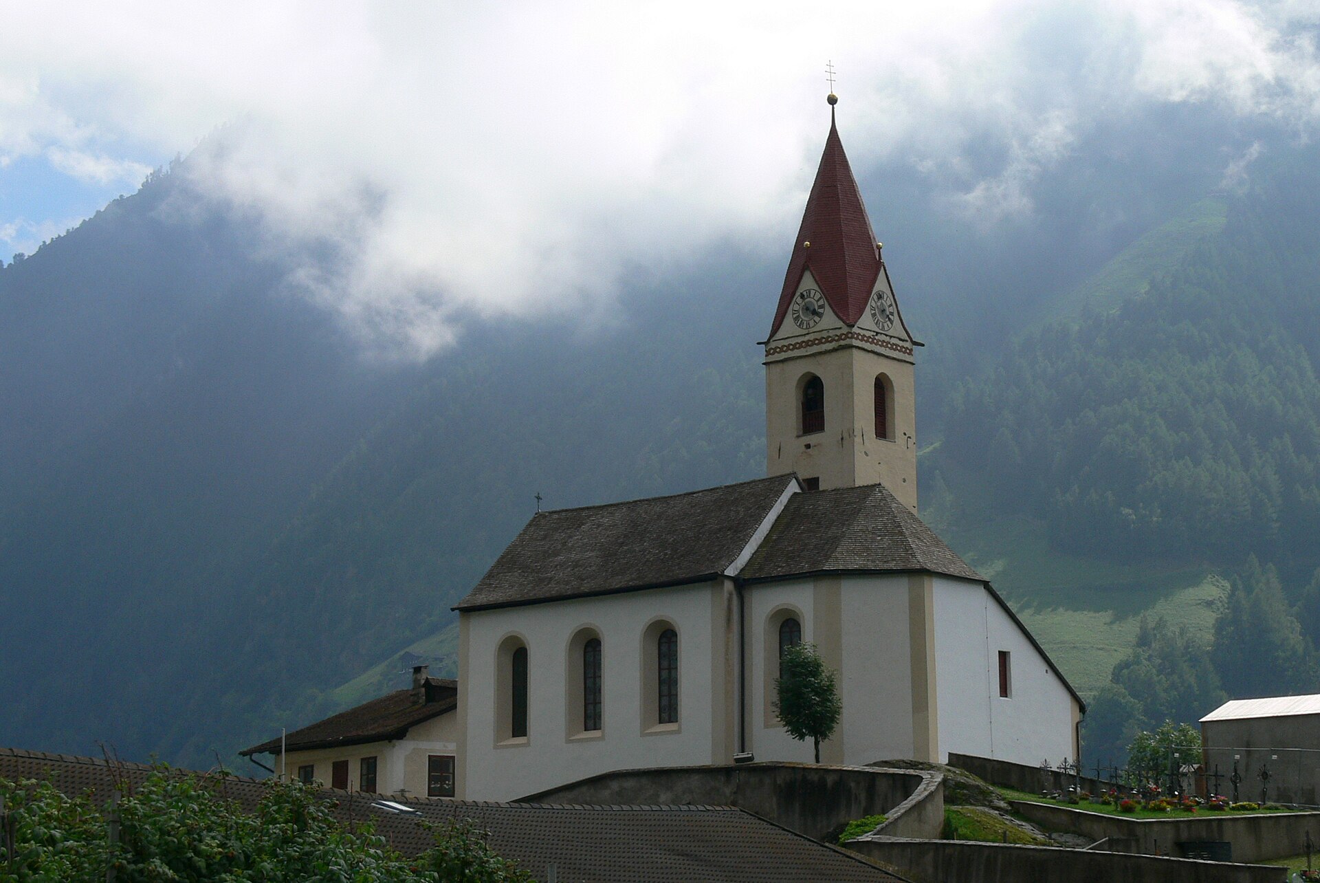
Curated by Schnalstal
Senales/Schnals
The valley where Ötzi was found, running from the Val Venosta up to the Similaun and the Giogo Alto glacier.
- 5Highlights
- 30Routes
- Featured summit · Finailspitze
Highlights
1 from neighbouring places
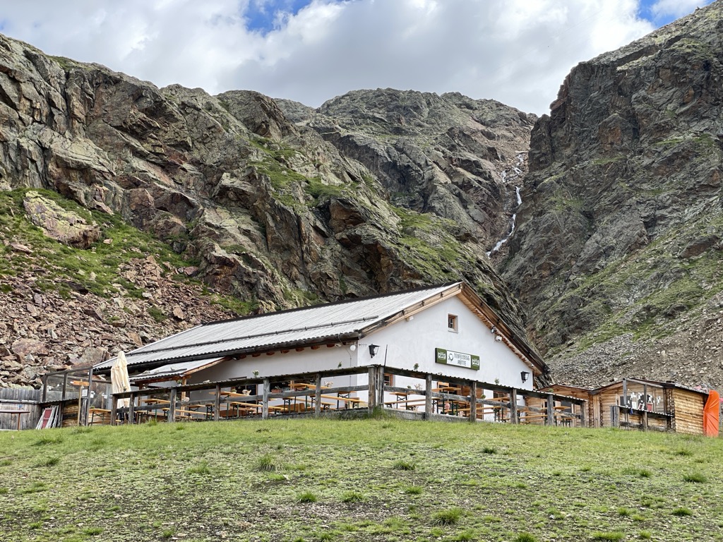
Baita Teufelsegg
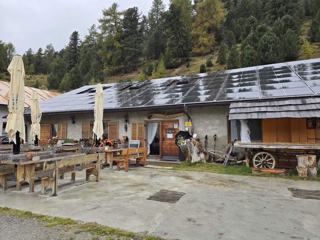
A baita high on the Val Senales glacier, reached by the lifts from Maso Corto.
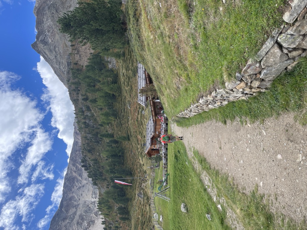
Sterzing, Pfitsch und FreienfeldMalga Bergl
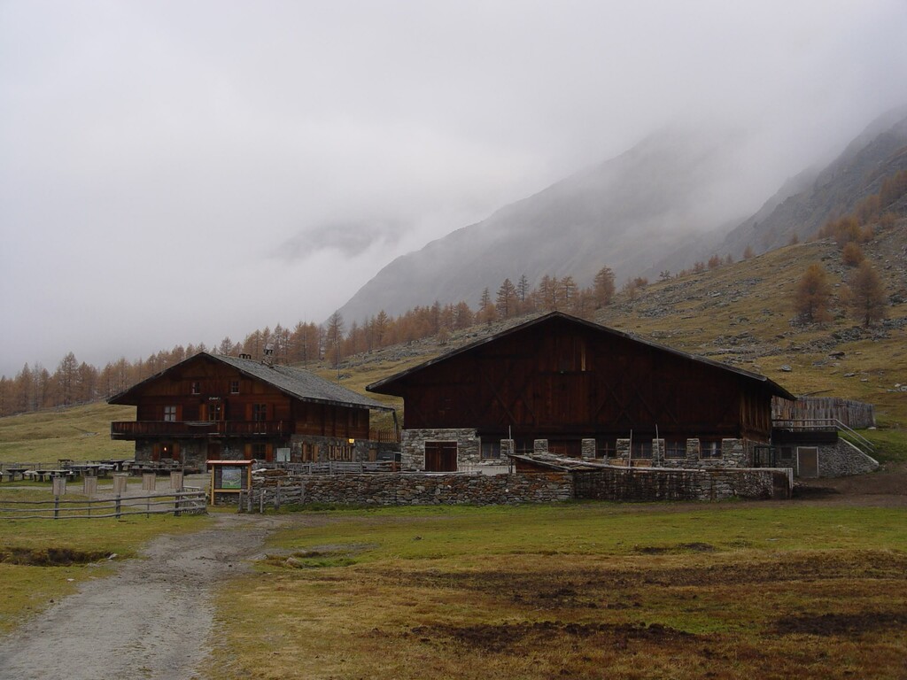
A dairy hut on the Bergl pastures above the Val Senales, reached by path from the valley road.
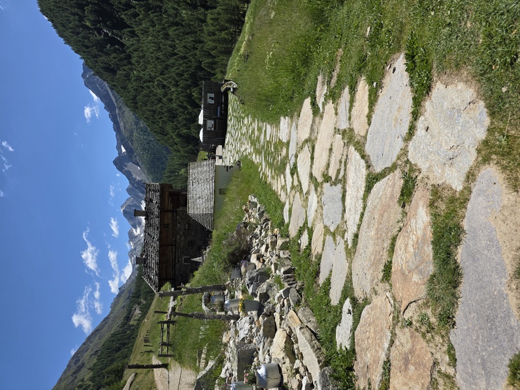
Malga Rableid
A dairy hut in the Val di Fosse above Certosa, inside the Gruppo di Tessa park, on the track up the valley from Vernago.
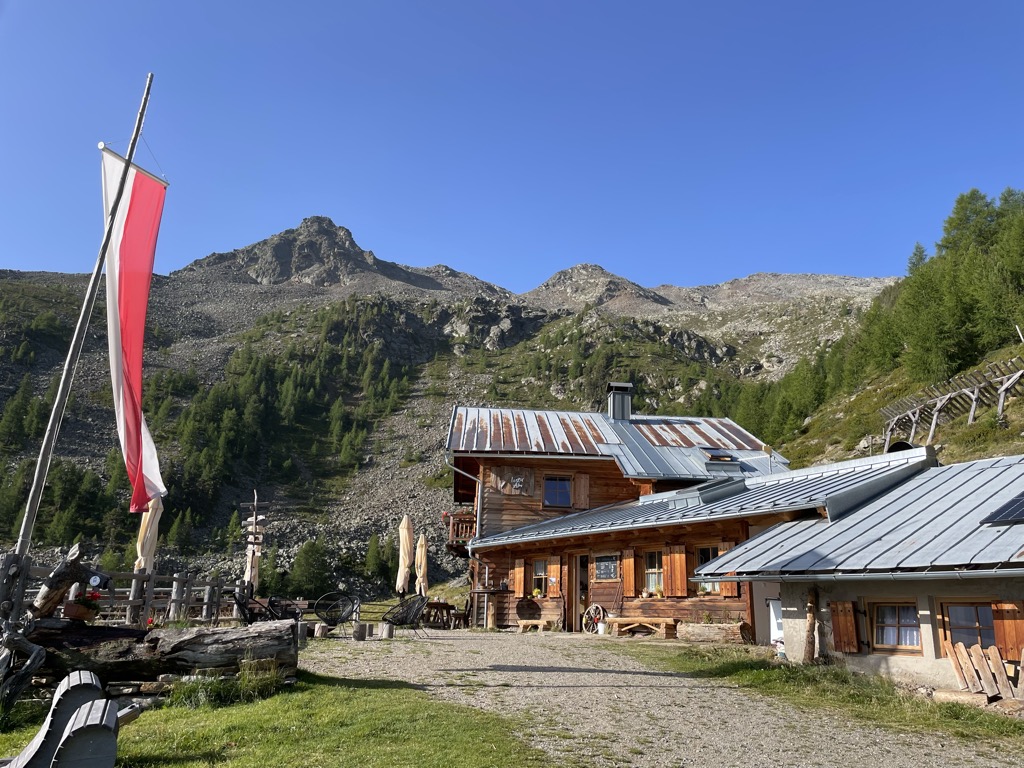
Malga del Convento
A dairy hut on the pastures above Certosa in the Val Senales, named after the Carthusian monastery in the village below.
Maso Gelato
A high farm at the head of the Val di Fosse, in the comune of Senales, one of the highest worked masi in the Alps.
Malga di Mazia
13 km away, in Malles Venosta/Mals
A dairy hut in the Matscher Tal above Mazia, in the comune of Malles Venosta, on the long approach to the Weisskugel and the Ötztal Alps.
Sterzing, Pfitsch und Freienfeld
Nothing of this kind in Senales/Schnals.
Routes
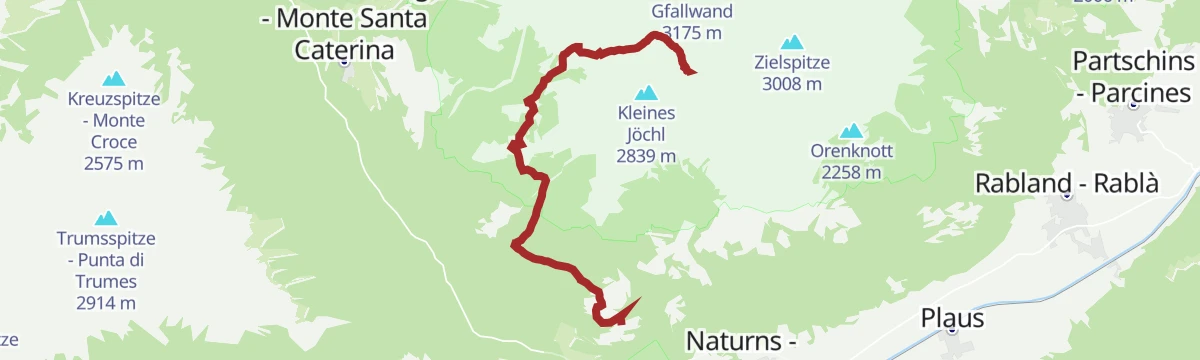
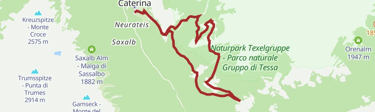
Alta Via di Merano: Da Monte S. Caterina a Unterstell
A stage of the Merano high route from Monte Santa Caterina, whose church stands on a rock spur, to Unterstell.
- 9.1 km
- Distance
- 473 m
- Ascent
- 3 h 19 min
- Duration
- 24
- Check-ins
 Unterstellhof 1 290 m
- Linthof 1 464 m
- Hofschank Wald 1 510 m
- Innerforch 1 461 m
- Unterperfl 1 421 m
- Kapelle Waldhof 1 503 m
Open route Partschins - Rabland - TöllProposta di tappa dell'Alta Via di Merano 4: Dal Maso Gelato a Plan
A stage of the Meraner Höhenweg from the Eishof farm over to Plan, by way of the Petrarca hut and the Lazins pasture; six to seven hours of walking in all.
- 16.8 km
- Distance
- 820 m
- Ascent
- 6 h 54 min
- Duration
- 98
- Check-ins
- Stettiner Hütte - Rifugio Petrarca 2 875 m
- Eishof - Maso Gelato 2 076 m
- Lazinser Alm 1 860 m
 Eisjöchl - Passo Gelato 2 895 m
- Lazinser Alm 1 855 m
- Tourismusverein Passeiertal - Infobüro Pfelders 1 626 m
- +3
Open route Partschins - Rabland - TöllSci alpinismo alla Punta di Finale
A ski tour from the Grawand top station across the Hochjoch glacier to the Finailspitze, whose north side stays largely iced; the serac ground east of the glacier can be dangerous.
- 10.0 km
- Distance
- 615 m
- Ascent
- 1 788 m
- Descent
- 3 h 31 min
- Duration
- 45
- Check-ins
 Finailspitze 3 514 m
- Südliche Finailspitze 3 490 m
- Hotel Grawand 3 199 m
- Teufelsegg Hütte 2 444 m
- Hotel Glacier 3 198 m
Open route SchnalstalSci alpinismo al Similaun
A two-day ski tour from the Grawand station or the Bellavista hut, sleeping at the Similaun hut above the Niederjoch glacier; for skiers with alpine experience.
- 20.5 km
- Distance
- 1 398 m
- Ascent
- 2 915 m
- Descent
- 7 h 12 min
- Duration
- 116
- Check-ins
- Grawand 3 251 m
- Similaun 3 599 m
- Similaunhütte - Rifugio Similaun 3 019 m
- Hotel Grawand 3 199 m
- Niederjoch - Giogo Basso 3 012 m
- Hauslabjoch 3 279 m
- +4
Open route SchnalstalVia Monachorum
A themed path from Madonna di Senales and Monte Santa Caterina to the 14th-century Carthusian house at Certosa, where the monks lived in silence, with panels of quotations.
- 10.5 km
- Distance
- 747 m
- Ascent
- 4 h 26 min
- Duration
- 2
- Check-ins
Open route SchnalstalSimilaun and Finailspitze from the Vernagt reservoir
A two-summit day from the Vernago reservoir: first the Similaun hut, then the Similaun, then the Finailspitze by its north ridge at grade II, with an east variant.
- 22.2 km
- Distance
- 2 473 m
- Ascent
- 14 h 55 min
- Duration
- 90
- Check-ins
- Similaun 3 599 m
- Finailspitze 3 514 m
- Jochköfel 3 137 m
- Similaunhütte - Rifugio Similaun 3 019 m
- Niederjoch - Giogo Basso 3 012 m
- Tisenhof 1 825 m
- +2
Open route AVS Sektion Sand in TaufersPercorso sci alpinismo Maso Corto - Grawand
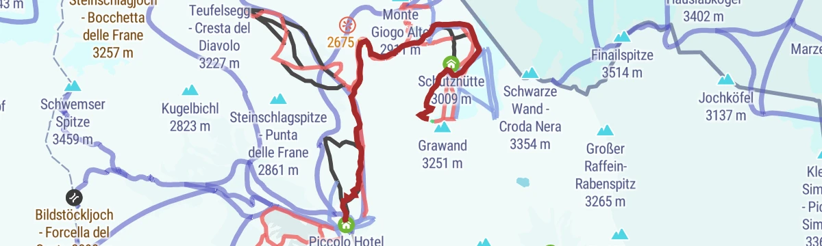
A marked uphill ski track from the Roter Kofel lift at Maso Corto, beside the pistes, to the glacier cable car station at Grawand; open only in lift hours.
- 7.1 km
- Distance
- 1 174 m
- Ascent
- 0 m
- Descent
- 3 h 22 min
- Duration
- 65
- Check-ins
- Hotel Grawand 3 199 m
- Piccolo Hotel Gurschler 2 020 m
- Teufelsegg Hütte 2 444 m
- Hochjoch (modern) 2 774 m
 Gletschersee - Lago glaciale 2 747 m
- Schutzhütte 3 009 m
- +1
Open route SchnalstalGiro della Vedretta
A high circular route in the Val Senales with glaciers below it and summits in sight from Austria across to the Dolomites.
- 13.9 km
- Distance
- 1 330 m
- Ascent
- 8 h 15 min
- Duration
- 67
- Check-ins
- Im Hinteren Eis - Punta della Vedretta 3 269 m
- Jochköfel - Gioco Alto di Senales 3 135 m
- Egg 3 219 m
- Schöne Aussicht Hütte - Rifugio Bella Vista 2 842 m
- Piccolo Hotel Gurschler 2 020 m
- Teufelsjoch 3 170 m
- +1
Open route Sterzing, Pfitsch und FreienfeldSci alpinismo al Luogo del ritrovamento di Ötzi
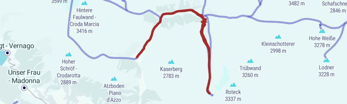
A glacier ski tour from Grawand or the Bellavista hut over the Hochjoch ice and a moraine crest to the Hauslabjoch, where Ötzi was found.
- 17.3 km
- Distance
- 811 m
- Ascent
- 1 995 m
- Descent
- 5 h 33 min
- Duration
- 54
- Check-ins
- Hotel Grawand 3 199 m
- Piccolo Hotel Gurschler 2 020 m
- Teufelsegg Hütte 2 444 m
- Hauslabjoch 3 279 m
- Hotel Glacier 3 198 m
Open route SchnalstalEscursione al ghiacciaio del Similaun
A demanding glacier route on the Similaun for experienced mountaineers, with the Ötztal Alps laid out to the north.
- 16.9 km
- Distance
- 1 899 m
- Ascent
- 11 h 24 min
- Duration
- 66
- Check-ins
- Similaun 3 599 m
- Similaunhütte - Rifugio Similaun 3 019 m
- Niederjoch - Giogo Basso 3 012 m
- Tisenhof 1 825 m
Open route Sterzing, Pfitsch und FreienfeldSci alpinismo al Saykogel
A long ski tour from Maso Corto to the Saykogel, a summit on the Austrian frontier with a wide view over the surrounding glaciers.
- 13.3 km
- Distance
- 1 978 m
- Ascent
- 650 m
- Descent
- 6 h 9 min
- Duration
- 49
- Check-ins
- Saykogel 3 355 m
- Schöne Aussicht Hütte - Rifugio Bella Vista 2 842 m
- Piccolo Hotel Gurschler 2 020 m
- Zollhaus 2 861 m
- Hochjoch - Giogo Alto 2 861 m
Open route SchnalstalMaso Vorderkas - Rif. Petrarca
A pasture path from Vorderkaser to the Eishof, gentle enough for children, then harder ground to the Petrarca hut; panels on alpine dairying and an old lime kiln near Rableid line the way.
- 11.4 km
- Distance
- 1 187 m
- Ascent
- 5 h 4 min
- Duration
- 64
- Check-ins
- Stettiner Hütte - Rifugio Petrarca 2 875 m
- Eishof - Maso Gelato 2 076 m
- Eisjöchl - Passo Gelato 2 895 m
- Rableid Alm 2 008 m
- Mitterkaser Alm 1 960 m
- Jägerrast 1 700 m
- +1
Open route SchnalstalSci alpinismo alla Cima di Tessa
A ski tour from the Casera di Fuori car park up the long Val di Fosse to the Cima di Tessa, prized for its descent and demanding for the length of the climb.
- 16.3 km
- Distance
- 1 639 m
- Ascent
- 1 635 m
- Descent
- 6 h 16 min
- Duration
- 18
- Check-ins
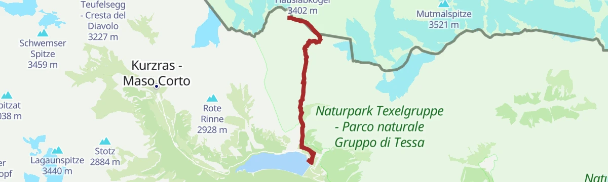
Open route SchnalstalEscursione al punto di ritrovamento di Ötzi
A glacier walk for experienced mountaineers to the spot on the watershed where the body of the Iceman came to light.
- 15.4 km
- Distance
- 1 608 m
- Ascent
- 9 h 48 min
- Duration
- 57
- Check-ins
- Jochköfel 3 137 m
- Similaunhütte - Rifugio Similaun 3 019 m
- Niederjoch - Giogo Basso 3 012 m
- Tisenhof 1 825 m
- Tisenjoch - Giogo di Tisa 3 188 m
Open route Sterzing, Pfitsch und FreienfeldSci alpinismo alla Fossalunga
A little-used ski tour to the Fossalunga pass, less demanding than the peaks around it but still crossing 3,000 metres in the Val Senales.
- 6.5 km
- Distance
- 1 154 m
- Ascent
- 262 m
- Descent
- 3 h 23 min
- Duration
- 15
- Check-ins
Open route SchnalstalPossibile tappa Alta Via di Merano 3: Da Monte S. Caterina al Maso Gelato
A stage of the Meraner Höhenweg of middling difficulty, from Monte Santa Caterina across the Val di Fosse to the Eishof farm.
- 14.4 km
- Distance
- 987 m
- Ascent
- 5 h 2 min
- Duration
- 37
- Check-ins
- Eishof - Maso Gelato 2 076 m
- Rableid Alm 2 008 m
- Mitterkaser Alm 1 960 m
- Jägerrast 1 700 m
- Untervernatschhof 1 512 m
- Montferthof 1 479 m
- +2
Open route Sterzing, Pfitsch und FreienfeldSci alpinismo alla punta Oberettes
A ski tour from Maso Corto by the Val di Langrub and the Oberettes glacier to a summit south of the Palla Bianca, between the Senales and Mazia valleys.
- 11.4 km
- Distance
- 1 438 m
- Ascent
- 1 436 m
- Descent
- 5 h 8 min
- Duration
- 15
- Check-ins
Open route SchnalstalCroda del Clivo
A hard climb above Naturno from the Unterstell cable car, past the Mairalm to a summit whose face falls nearly 2,500 metres to the valley.
- 8.8 km
- Distance
- 1 659 m
- Ascent
- 6 h 12 min
- Duration
- 19
- Check-ins
- Kirchbachspitze 2 952 m
- Unterstellhof 1 290 m
- Linthof 1 464 m
- Obere Mairalm 2 100 m
- Dickhof Jausenstation 1 710 m
- Dicker Alm 2 065 m
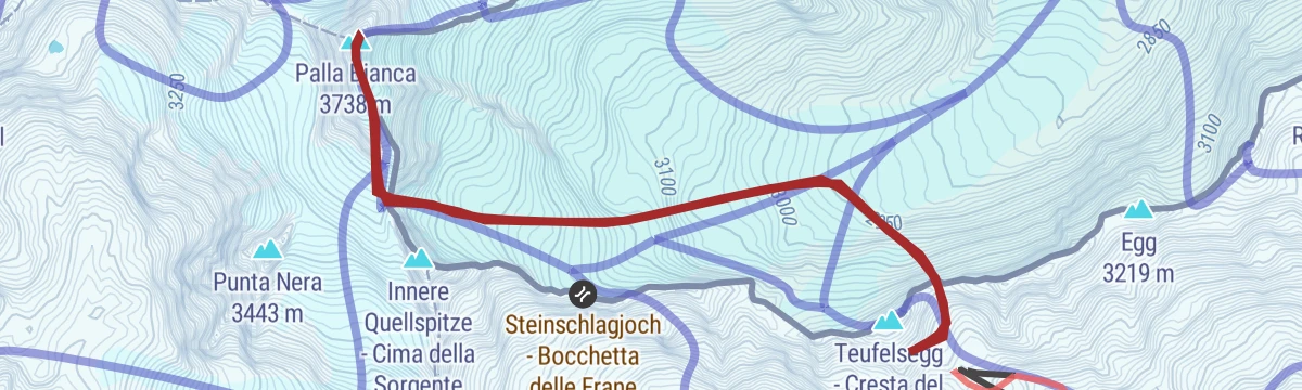
Open route Partschins - Rabland - TöllSki alpinismo da Maso Corto alla Palla Bianca
A long ski tour from Maso Corto up the Val delle Frane and its glacier to the Palla Bianca; the height gain makes it hard work, and March to May is best.
- 8.2 km
- Distance
- 1 079 m
- Ascent
- 1 090 m
- Descent
- 3 h 49 min
- Duration
- 14
- Check-ins
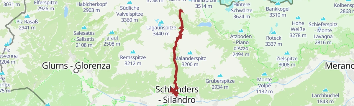
Open route SchnalstalEscursione lungo il sentiero di Ötzi
A hard archaeological walk from Corzes up the arid Monte Sole to a ruined chapel and on to the Kortscher See, with the bus back down the valley.
- 20.0 km
- Distance
- 2 115 m
- Ascent
- 10 h
- Duration
- 19
- Check-ins
- Piccolo Hotel Gurschler 2 020 m
- Taschljöchl - Giogo Tasca 2 772 m
- Kortscher See - Lago di Còrzes 2 510 m
- Schwarze Lacke - Laghetto Nero 2 668 m
- Schlanderser Alm - Malga di Silandro 1 899 m
- Kortscher Alm 1 995 m
Open route Sterzing, Pfitsch und FreienfeldSci alpinismo alla Cima Culla Alta (da Madonna di Senales)
A ski tour from Madonna di Senales up the Val di Mastaun past the Mastaun dairy and a steep step to the Cima Culla Alta, which stands with its smaller twin above the Val di Pinalto.
- 12.1 km
- Distance
- 1 347 m
- Ascent
- 1 343 m
- Descent
- 4 h 60 min
- Duration
- 7
- Check-ins
- Oberer Wiegenspitz - Cima Culla Alta 2 978 m
- Mastaunalm - Malga Mastaun 1 819 m
- Mastaunhof - Maso Mastaun 1 642 m
Open route SchnalstalGli insediamenti del Fuchsberg
A stretch of archaeological trail A7 over the Fuchsberg, reaching one of the oldest alpine dairy sites in South Tyrol, with wide views over the Val Senales.
- 15.6 km
- Distance
- 1 040 m
- Ascent
- 7 h 1 min
- Duration
- 19
- Check-ins
- Linthof 1 464 m
- Hofschank Wald 1 510 m
- Obere Mairalm 2 100 m
- Unterperfl 1 421 m
- Dickhof Jausenstation 1 710 m
- Kapelle Waldhof 1 503 m
- +2
Open route SchnalstalSci alpinismo alla Punta di Cortiserrade
A ski tour from Madonna di Senales up the Val di Mastaun to the Mastaun pass and the twin Cortiserrade summits, west of the Punta di Mastaun.
- 13.3 km
- Distance
- 1 500 m
- Ascent
- 1 506 m
- Descent
- 5 h 33 min
- Duration
- 7
- Check-ins
- Westlicher Gerstgraserspitz - Punta di Cortiserrade Ovest 3 140 m
- Östlicher Gerstgraserspitz - Punta di Cortiserrade Est 3 087 m
- Mastaunalm - Malga Mastaun 1 819 m
- Mastaunhof - Maso Mastaun 1 642 m
Open route SchnalstalSci alpinismo all'Anticima della punta di trumes
A ski tour from Certosa by the Sennhof farm and forest road past the convent dairy to the fore-summit of the Punta di Trumes, named Gamseck on some maps.
- 15.1 km
- Distance
- 1 563 m
- Ascent
- 1 553 m
- Descent
- 5 h 55 min
- Duration
- 6
- Check-ins
Open route SchnalstalSci alpinismo alla Punta Vermoi
A ski tour from Certosa into the Val di Pinalto, turning at about 2,500 metres into a side valley to the south-east for the Punta Vermoi, which looks toward the Venosta.
- 17.7 km
- Distance
- 1 406 m
- Ascent
- 1 405 m
- Descent
- 6 h 9 min
- Duration
- 6
- Check-ins
Open route SchnalstalSci alpinismo al Monte Cermigna
A ski tour from Certosa through the Val di Pinalto to its dairy, then to the col between Monte Cavallo and the Cermigna, a twin summit above the Val di Silandro.
- 21.6 km
- Distance
- 1 744 m
- Ascent
- 1 738 m
- Descent
- 7 h 33 min
- Duration
- 5
- Check-ins
- Zerminiger 3 110 m
- Penauderalm - Malga di Pinalto 2 320 m
- Penaudhof - Capanna di Pinalto 1 785 m
- Penauderseen 2 674 m
- Augengläserseen 2 674 m
- Zerminger See 2 783 m
Open route SchnalstalSci alpinismo alla Cima Culla Alta (da Certosa)
A ski tour from Certosa up the Val di Pinalto to the dairy, then right up a steep, sunny south slope to the Cima Culla Alta; April and May are the months for it.
- 18.7 km
- Distance
- 1 637 m
- Ascent
- 1 638 m
- Descent
- 6 h 42 min
- Duration
- 1
- Check-ins
- Oberer Wiegenspitz - Cima Culla Alta 2 978 m
- Penauderalm - Malga di Pinalto 2 320 m
- Penaudhof - Capanna di Pinalto 1 785 m
Open route SchnalstalSci alpinismo alla Punta delle Fosse
A ski tour from Certosa by the Sennhof farm into the Val di Pinalto and up to the Punta delle Fosse, valued for the long descent back down the valley.
- 14.8 km
- Distance
- 1 385 m
- Ascent
- 1 369 m
- Descent
- 5 h 25 min
- Duration
- 1
- Check-ins
Open route SchnalstalSci alpinismo alla Punta Saldura
A demanding ski tour from the Koflhöfe farms near Maso Corto up the Val di Lagaun to the Punta Saldura, high point of a group falling away toward Mazia and Silandro.
- 12.9 km
- Distance
- 1 509 m
- Ascent
- 1 501 m
- Descent
- 5 h 31 min
- Duration
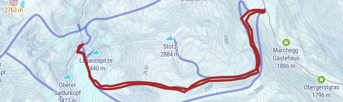
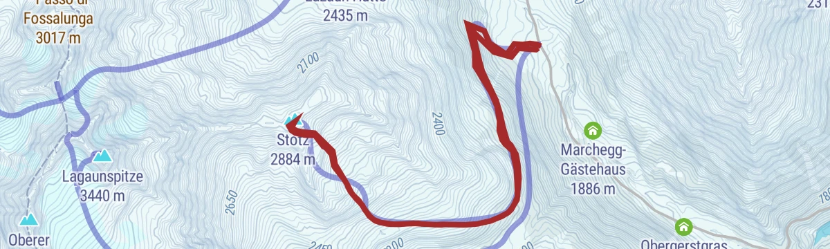
Open route SchnalstalSci alpinismo alla Punta Stotz
A ski tour from the Koflhöfe farms south into the Val di Lagaun, then up right to the Stotz; only the narrow wooded summer path is awkward, mostly on the way down.
- 9.4 km
- Distance
- 936 m
- Ascent
- 930 m
- Descent
- 3 h 35 min
- Duration
Open route Schnalstal
No routes of this kind in Senales/Schnals yet.
The region's own picks

Featured route
Alta Via di Merano: Da Monte S. Caterina a Unterstell
A stage of the Merano high route from Monte Santa Caterina, whose church stands on a rock spur, to Unterstell.
Planning a trip to Senales/Schnals?
Everything else Trentino-Alto Adige/Südtirol has, in one place


Take Senales/Schnals with you into the mountains
Every route on this page with 3D terrain, GPX navigation and offline maps — including the valleys with no signal.
Data sources
- Official website: suedtirol.info ↗
- Routes and highlights: Schnalstal, Sterzing, Pfitsch und Freienfeld, Partschins - Rabland - Töll, AVS Sektion Sand in Taufers
- Published as open data by the tourist boards named above.
- Region summary generated from the board's own material.
