
 Cable car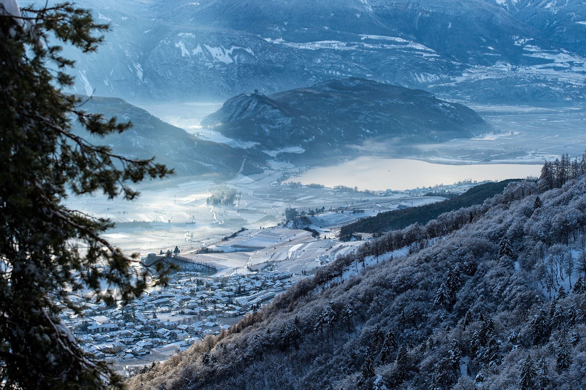
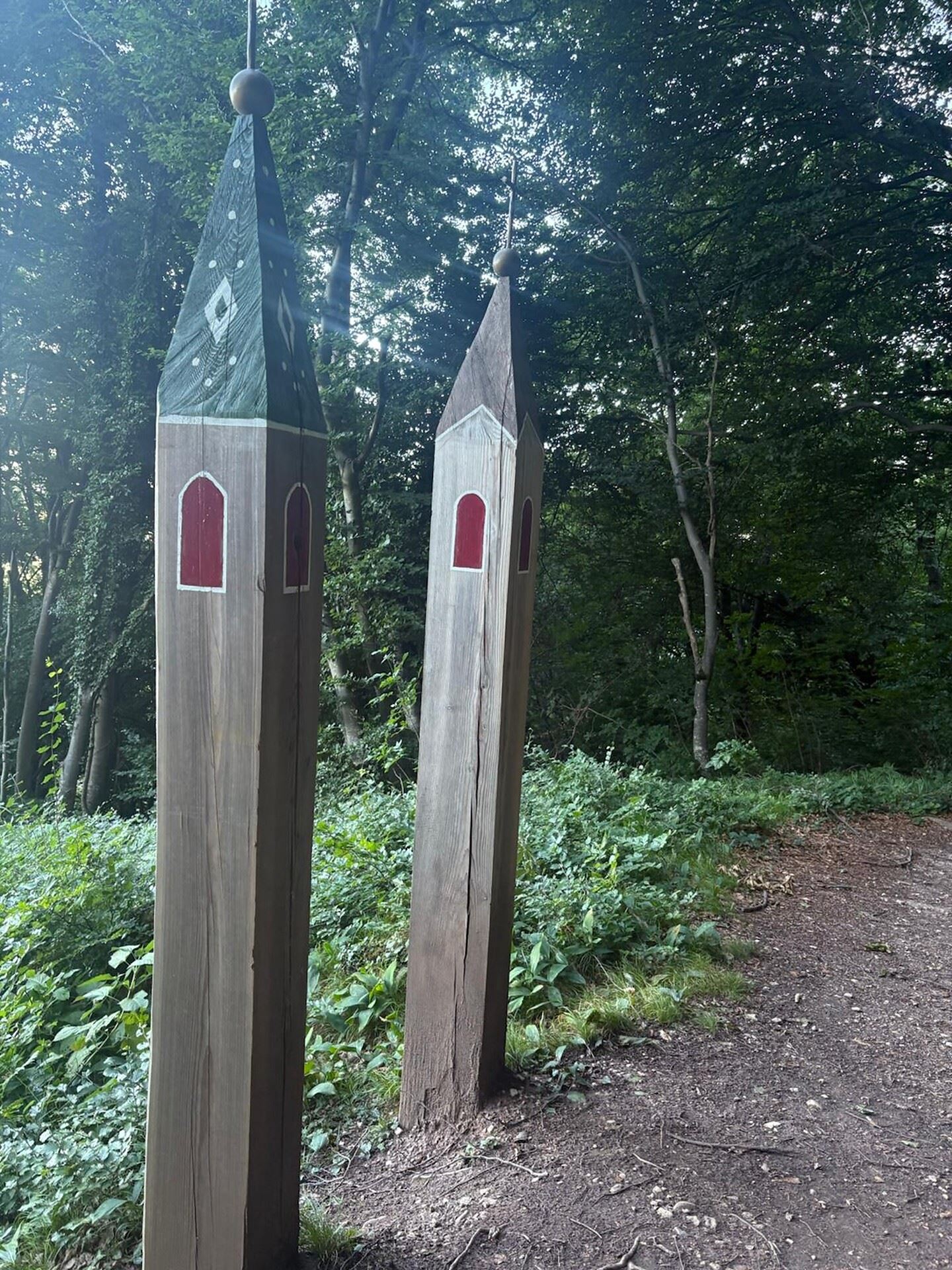
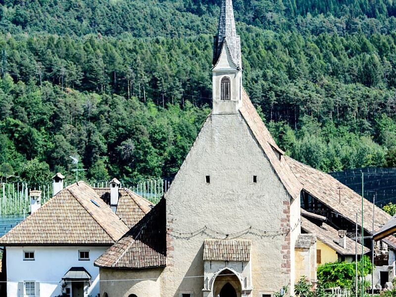
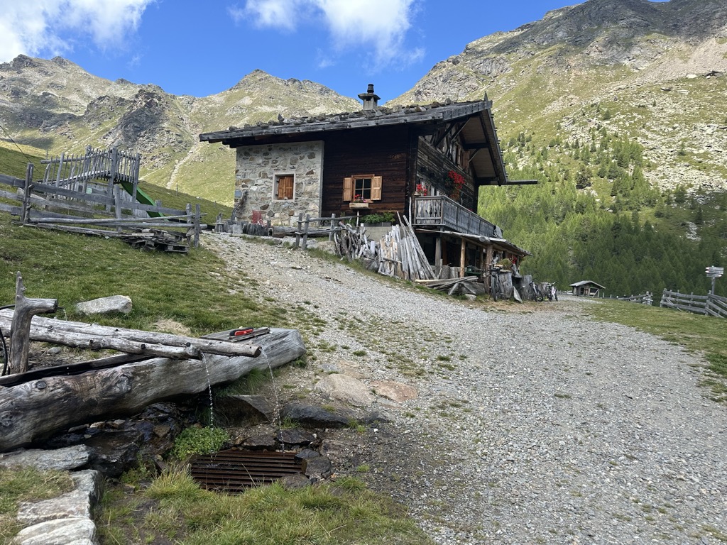
 Historic site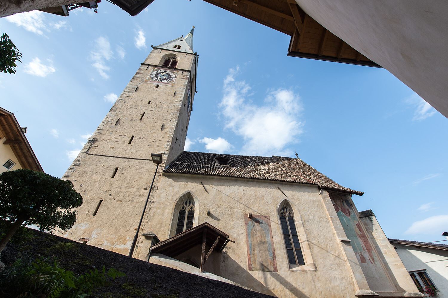
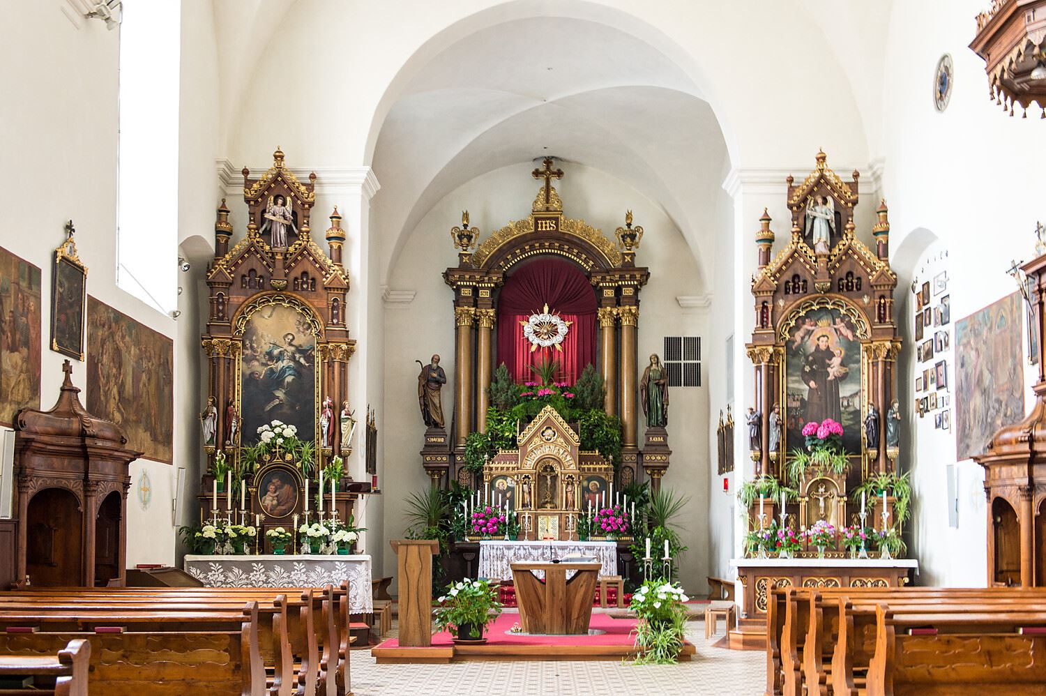
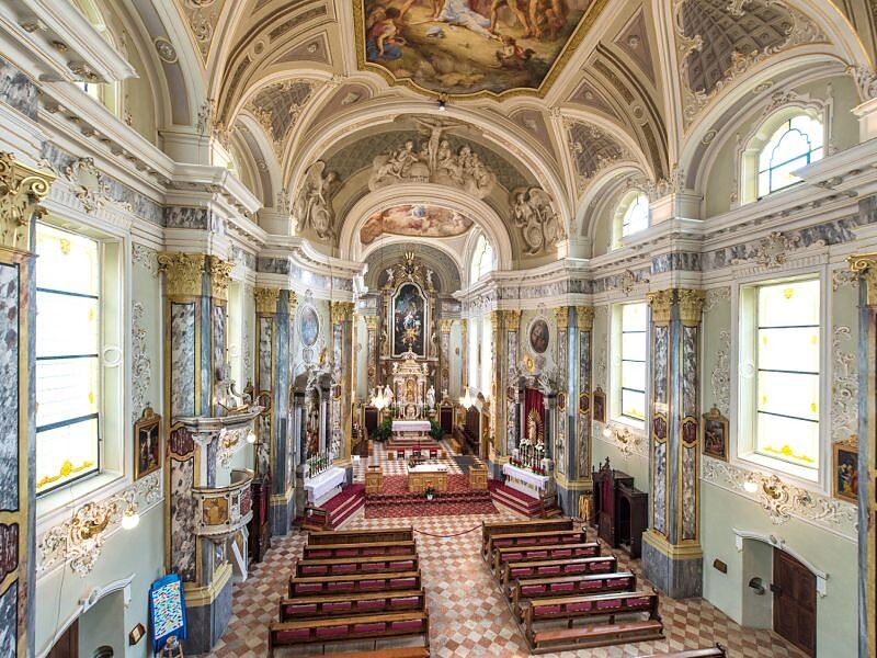
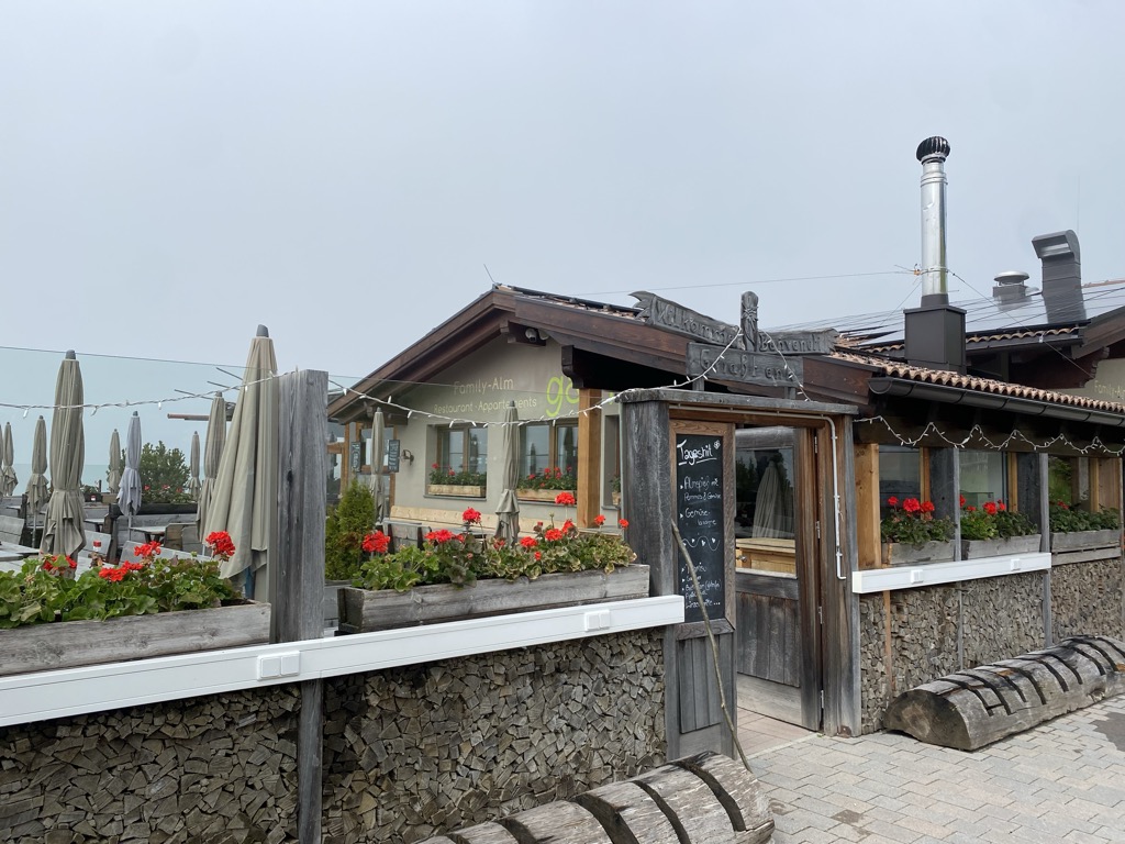


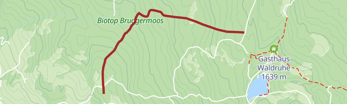


Curated by Kaltern an der Weinstraße
Senale-San Felice/Unsere Liebe Frau im Walde-St. Felix
Two hamlets on the wooded Mendola ridge between the Adige and the Val di Non, near the Lago di Tret.
- 15Highlights
- 19Routes
- Featured summit · Laugen
Highlights
All 15 from neighbouring places
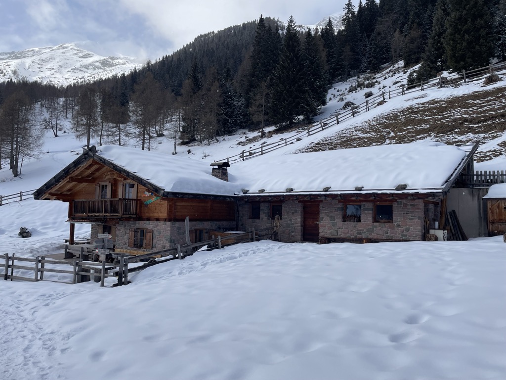
Malga "Untere Kessel Alm"
8.5 km away, in Proves/Proveis
A dairy hut on the pastures above Proves, in the German-speaking upper Val di Non.
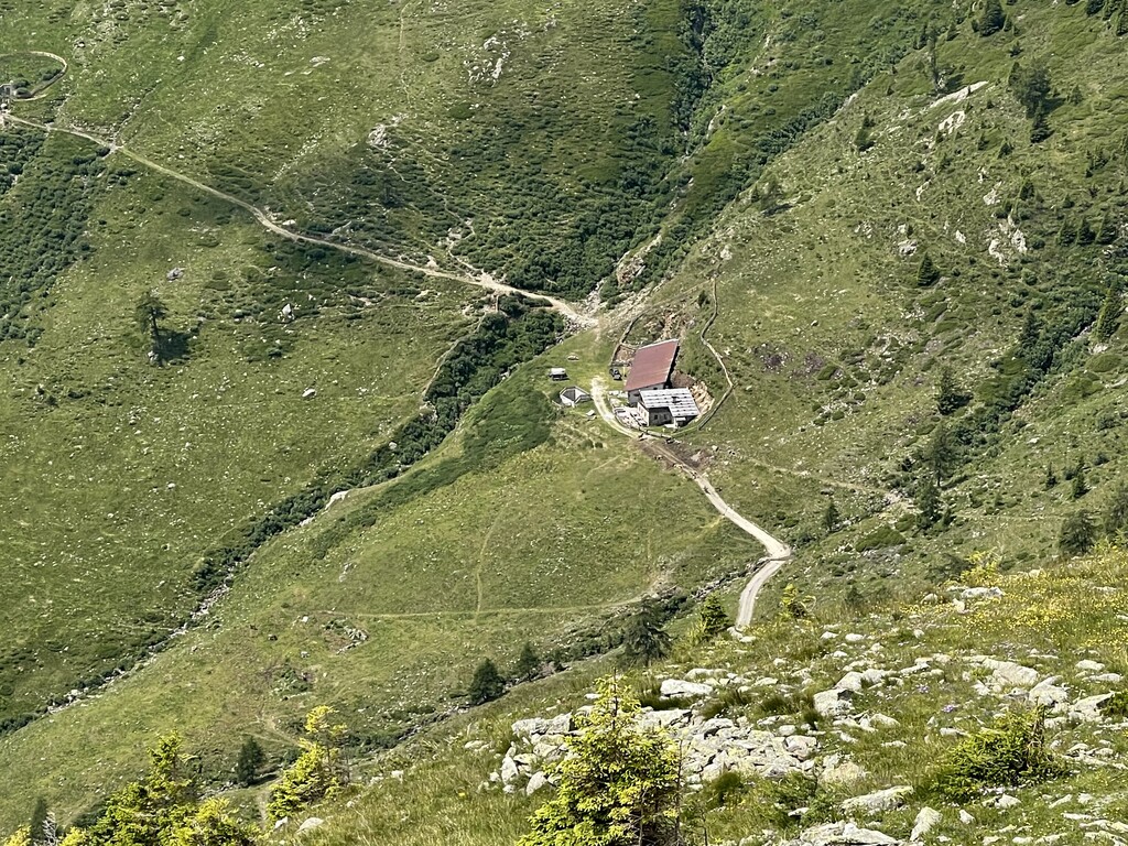
Sterzing, Pfitsch und FreienfeldMalga Manzara (Stierberg)
11.1 km away, in Proves/Proveis
A dairy hut on the Stierberg pastures above Proves, between the Val di Non and the Val d'Ultimo.
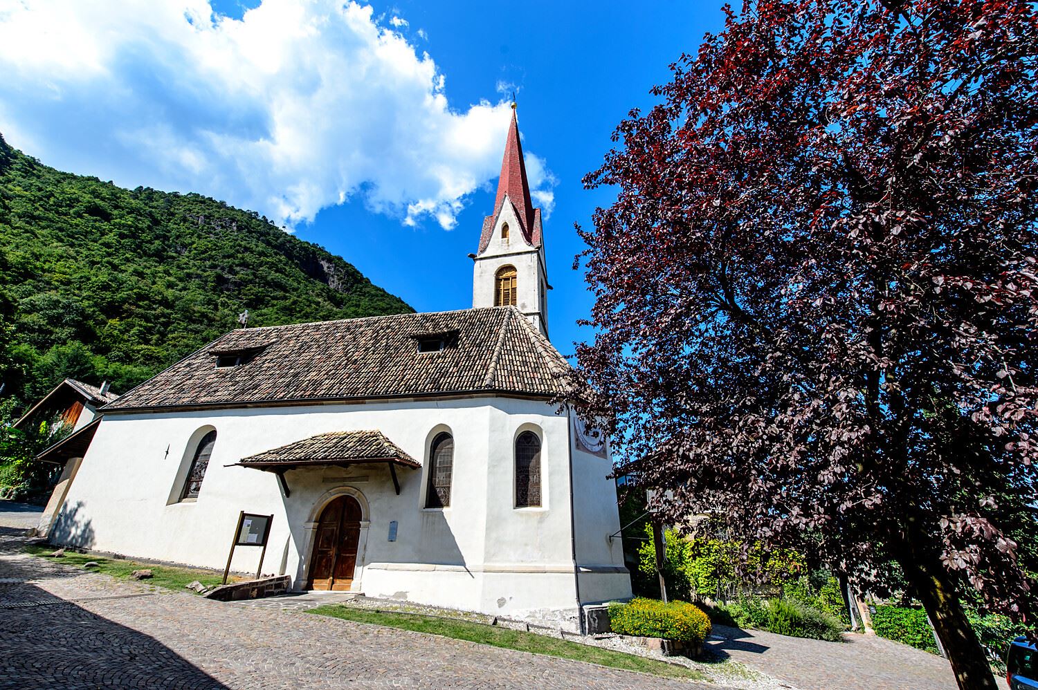
Sterzing, Pfitsch und FreienfeldChiesa S. Giovanni Battista a Pianizza di Sopra
11.8 km away, in Caldaro sulla strada del vino/Kaltern an der Weinstraße
The church of San Giovanni Battista at Pianizza di Sopra above Caldaro.
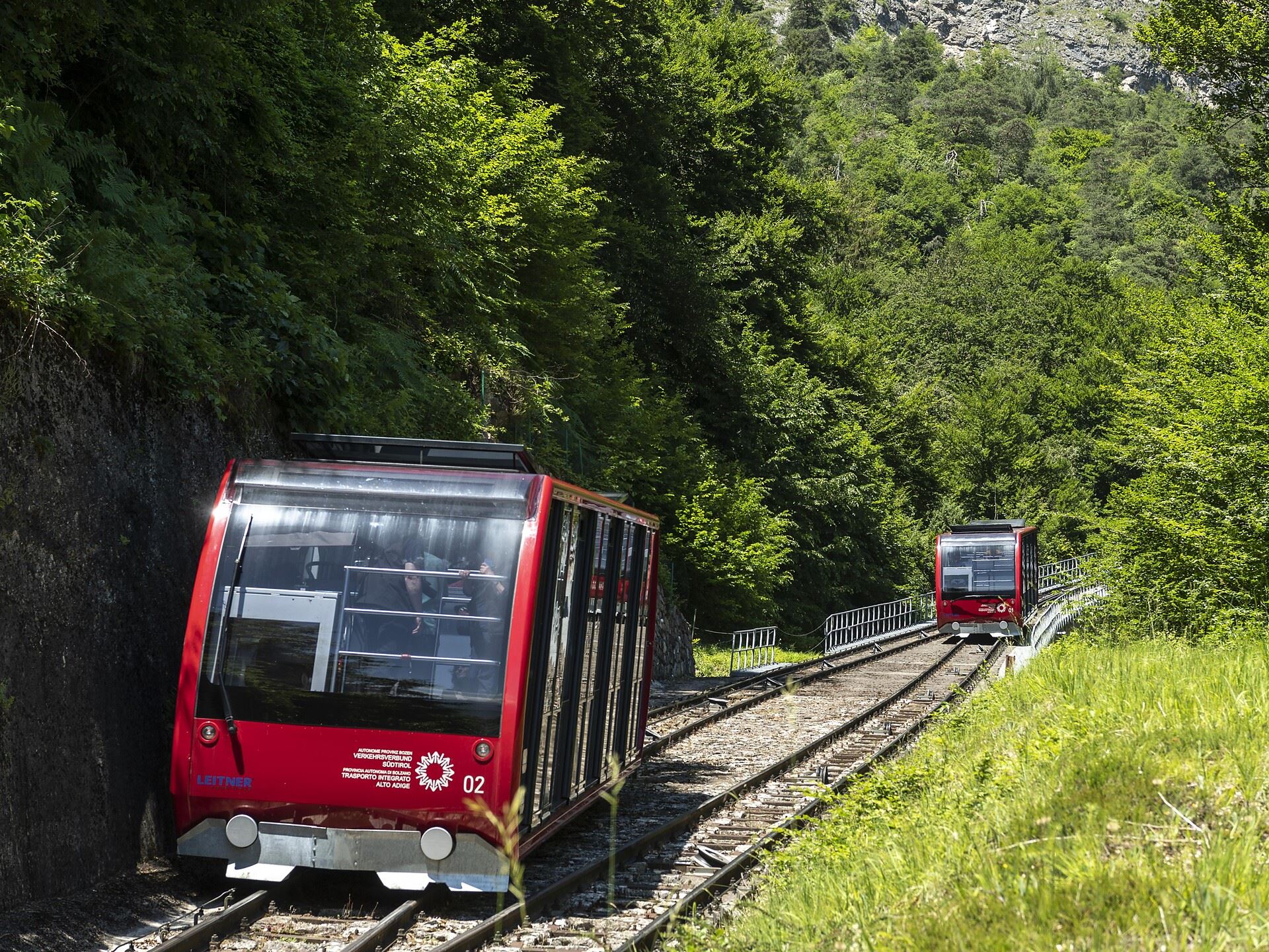
Funicolare della Mendola
11.9 km away, in Caldaro sulla strada del vino/Kaltern an der Weinstraße
The Mendola funicular, opened in 1903 and among the steepest in Europe, climbing from Caldaro to the pass at 1,363 m.
Dal Passo Mendola al rifugio Mezzavia
11.9 km away, in Caldaro sulla strada del vino/Kaltern an der Weinstraße
A walk from the Mendola pass along the ridge to the Mezzavia hut, above Lake Caldaro.
Niklaser Erlebnisweg
12.7 km away, in Caldaro sulla strada del vino/Kaltern an der Weinstraße
A themed walk above Caldaro through vineyards and chestnut woods to the hamlet of San Nicolò.
Chiesa S. Leonardo a Pianizza di Sotto
12.7 km away, in Caldaro sulla strada del vino/Kaltern an der Weinstraße
The church of San Leonardo at Pianizza di Sotto, in the vineyards above Lake Caldaro.
Malga Innerfalkomai
13 km away, in Ultimo/Ulten
A dairy hut on the Falkomai pastures of the Ultental, high on the shady side of the valley in the comune of Ultimo.
Sterzing, Pfitsch und FreienfeldChiesa S. Caterina in Villa di Mezzo
13.2 km away, in Caldaro sulla strada del vino/Kaltern an der Weinstraße
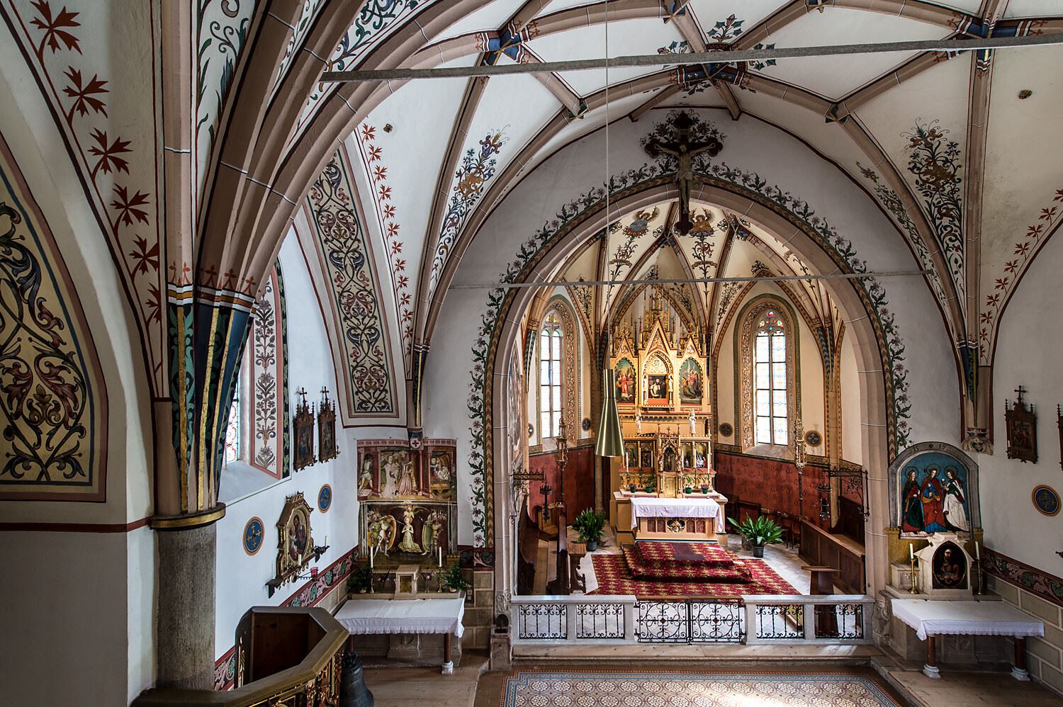
The church of Santa Caterina at Villa di Mezzo, one of the wine hamlets around Caldaro.
Castel Sallegg
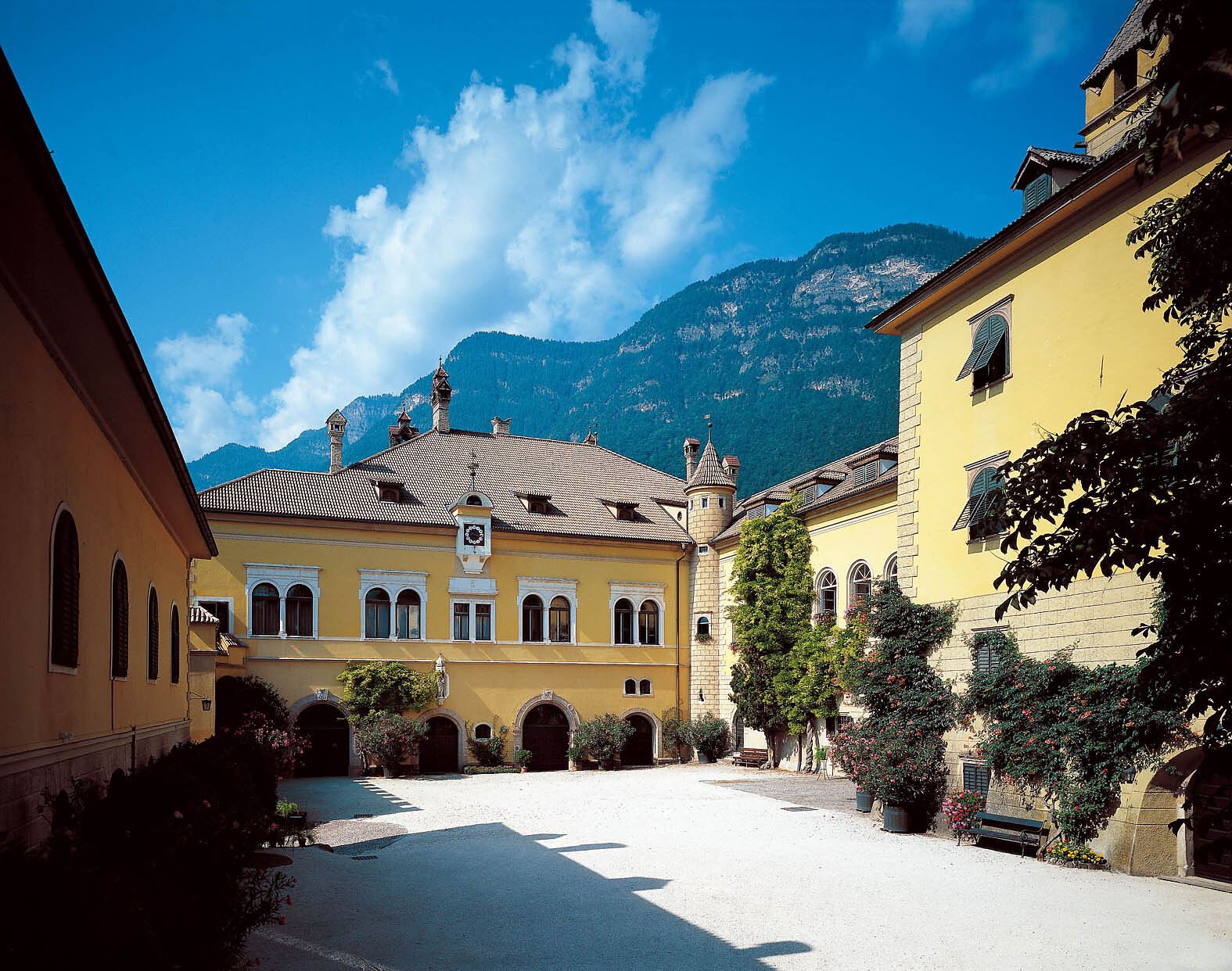
13.2 km away, in Caldaro sulla strada del vino/Kaltern an der Weinstraße
A wine estate at Caldaro whose cellars and gardens date from the sixteenth century.
Chiesa a S. Antonio
13.5 km away, in Caldaro sulla strada del vino/Kaltern an der Weinstraße
The church of Sant'Antonio at Caldaro, on the terrace above the lake.
Percorso didattico sul vino di Castel Sallegg
13.6 km away, in Caldaro sulla strada del vino/Kaltern an der Weinstraße
A vineyard trail at Castel Sallegg above Caldaro, explaining the Lagrein and Schiava grown there.
Chiesa dei frati francescani a Caldaro
13.6 km away, in Caldaro sulla strada del vino/Kaltern an der Weinstraße
The Franciscan friars' church in Caldaro, on the Wine Road below the Mendola.
Chiesa parrocchiale S. Maria Assunta a Caldaro
13.7 km away, in Caldaro sulla strada del vino/Kaltern an der Weinstraße
The parish church of Santa Maria Assunta in Caldaro, its Gothic tower rebuilt after a fire.
Family-Alm Gampl
13.9 km away, in Lana/Lana
A dairy hut on the wooded slopes above Lana, west of Merano at the mouth of the Val d'Ultimo.
Nothing of this kind in Senale-San Felice/Unsere Liebe Frau im Walde-St. Felix.
Routes
Anello del Lago di Tret
An easy woodland loop with no hard sections, out to the quiet water of Lake Tret above Fondo.
- 4.7 km
- Distance
- 278 m
- Ascent
- 1 h 56 min
- Duration
- 6
- Check-ins
Crossing 133 Aldo Bonacossa, stage 1: Passo Palade - Malga Castrin
The opening stage of the Bonacossa route, climbing quickly past Lake Luco under Monte Luco, then across the Monte Sous meadows to Malga Castrin.
- 8.2 km
- Distance
- 761 m
- Ascent
- 4 h 11 min
- Duration
- 40
- Check-ins
 Gampenpass - Passo delle Palade 1 518 m
 Gampenpass - Passo Palade 1 523 m
 Laugensee - Lago del Monte Luco 2 182 m
- Malga Castrin - Aler Alm 1 814 m
- Bait dal Batista 2 100 m
Open route APT Val di NonAnello con salita al Monte Luco nel Gruppo delle Maddalene
A loop with a steep wooded start, then rock and pasture to the Laugensee and the ridge of Monte Luco in the Maddalene range.
- 9.0 km
- Distance
- 912 m
- Ascent
- 5 h 35 min
- Duration
- 71
- Check-ins
Tour de Non MTB Experience: Stage 02 Senale - Malga di Romeno
A stage over the Gampenpass onto the Mendola ridge, where the pastures thin out and the singletrack turns wild and exposed, ending at Malga Romeno.
- 39.5 km
- Distance
- 1 406 m
- Ascent
- 4 h 41 min
- Duration
- 172
- Check-ins
 Gantkofel 1 866 m
- Sas de la Prieda 1 658 m
- Croce di Forcella Piccola 1 829 m
- Passo della Mendola - Mendelpass 1 363 m
- Malga Romeno 1 773 m
- Rifugio Mezzavia - Halbweghütte 1 588 m
- +15
Open route APT Val di NonMacaion Roen Gravel
A demanding gravel loop from Cavareno by way of the Lago di Tret, along the ridge high above the Adige and down to the Mendola pass.
- 59.9 km
- Distance
- 2 141 m
- Ascent
- 7 h 20 min
- Duration
- 140
- Check-ins
- Sas de la Prieda 1 658 m
- Passo della Mendola - Mendelpass 1 363 m
- Malga Romeno 1 773 m
- Rifugio Mezzavia - Halbweghütte 1 588 m
- Rifugio Genzianella - Enzianhütte 1 407 m
- Hotel Lago Smeraldo 1 016 m
- +10
Open route APT Val di NonEscursione al laghetto di Tret
A walk from the Klammbrücke car park above San Felice through conifer wood and larch to the small Tret lake, best in late spring or autumn.
- 5.9 km
- Distance
- 315 m
- Ascent
- 2 h 15 min
- Duration
- 6
- Check-ins
Open route Partschins - Rabland - TöllCammino Jacopeo d'Anaunia - Stage I, PART 2 from Fondo to Senale
The second half of the camino's opening stage, from Fondo up to Senale; long but without steep pitches, roughly four hours of walking.
- 11.2 km
- Distance
- 576 m
- Ascent
- 3 h 42 min
- Duration
- 22
- Check-ins
Open route APT Val di NonDal Passo Palade (1518m) al Monte Luco (2433m)
A climb from the Passo Palade at 1,518 m to Monte Luco at 2,433 m, needing steady legs and sure footing.
- 10.6 km
- Distance
- 912 m
- Ascent
- 5 h 47 min
- Duration
- 62
- Check-ins
- Laugen 2 434 m
- Gampenpass - Passo delle Palade 1 518 m
- Gampenpass - Passo Palade 1 523 m
- Laugenalm - Malga del Monte Luco 1 853 m
Open route Partschins - Rabland - TöllTour de Non MTB Experience: Stage 01 Cles - Senale
The first stage climbs from the valley floor to the summer pastures of the Maddalene, crossing the Forcella di Brez and the Giovat di Cloz.
- 35.4 km
- Distance
- 2 928 m
- Ascent
- 6 h 37 min
- Duration
- 5
- Check-ins
- Forcella di Brez - Brezer Joch 1 397 m
- Laureiner Alm - Malga di Lauregno 1 780 m
- Giovat di Cloz - Clozner Joch 1 376 m
- Maso Tafol 890 m
Open route APT Val di NonCamino Jacobeo d'Anaunia - Stage I, Part 2 from Fondo to Senale - Tret Waterfall variant
A short variant on the Anaunia camino between Fondo and Senale, dropping to the Tret waterfall.
- 1.5 km
- Distance
- 169 m
- Ascent
- 59 min
- Duration
Open route APT Val di NonDa San Felice (1270 m) al Monte Macaion (1865 m)
A hike from San Felice past its small lake to Monte Macaion at 1,865 m, a broad lookout over the Adige valley.
- 13.3 km
- Distance
- 667 m
- Ascent
- 4 h 53 min
- Duration
- 14
- Check-ins
Open route Partschins - Rabland - TöllPasso Palade - Malga Kessel
A long climb from the Passo Palade to Malga Kessel, on the Maddalene ridge between Tesimo and the Val di Non.
- 12.3 km
- Distance
- 919 m
- Ascent
- 5 h 17 min
- Duration
- 62
- Check-ins
- Gampenpass - Passo delle Palade 1 518 m
- Obere Kessel Alm 1 917 m
- Gampenpass - Passo Palade 1 523 m
- Laugenalm - Malga del Monte Luco 1 853 m
- Obere Alm - Malghetto di Cloz 1 892 m
- Passo Castrin - Hofmahdjoch 1 785 m
- +2
Open route APT Val di NonDiscesa in slitta da Malga San Felice
A sledge run down from Malga San Felice on a track kept for toboggans, gentle enough for children.
- 2.1 km
- Distance
- 0 m
- Ascent
- 42 min
- Duration
Escursione invernale da San Felice a Schönegg fino al Lago di Tret
The winter line from San Felice over the Tillwiesen to the Schönegg and the Tret lake; the track is unploughed and often icy or deep in snow.
- 12.7 km
- Distance
- 476 m
- Ascent
- 4 h 9 min
- Duration
- 13
- Check-ins
Open route Partschins - Rabland - TöllHike Gampenpass - Maso Plaz
A long, gently descending route from the Deutschnonsberg over into the Val di Non, along the old language border, looking across to Tret, Fondo and St Felix.
- 15.5 km
- Distance
- 183 m
- Ascent
- 4 h 35 min
- Duration
- 27
- Check-ins
- Gampenpass - Passo delle Palade 1 518 m
- Gampenpass - Passo Palade 1 523 m
- Zollhütte 1 431 m
- Trattoria Arnica 1 246 m
- Maso Plaz 982 m
Open route Maso PlazEscursione alle cascate di Tret
A family route into the Rio Novella gorge between San Felice and Tret, where 170 steps drop to three waterfalls totalling 105 m on the border with Trentino.
- 4.5 km
- Distance
- 340 m
- Ascent
- 2 h 13 min
- Duration
Open route Partschins - Rabland - TöllLoop trail in the woods between Trentino and South Tyrol with a regenerating stop at Lake Tret
An easy loop on paths and forest road that follow the ground, now narrow in larch wood, now across open meadow, with a stop at Lake Tret.
- 9.6 km
- Distance
- 448 m
- Ascent
- 3 h 22 min
- Duration
- 6
- Check-ins
Open route APT Val di NonJacopeo d'Anaunia Path - II stage
The second stage of the Jacopeo d'Anaunia pilgrim route, rolling through Lauregno and Senale, once a waypoint for travellers bound for Rome.
- 18.6 km
- Distance
- 642 m
- Ascent
- 6 h 21 min
- Duration
Open route APT Val di NonTret Falls Crag - 19 routes from 5a to 6c+
A short approach on the waterfall path at Tret to a shaded crag of nineteen bolted routes from 5a to 6c+, cool even in high summer.
- 14 m
- Distance
- 8 m
- Ascent
- 3 min
- Duration
Open route APT Val di Non
No routes of this kind in Senale-San Felice/Unsere Liebe Frau im Walde-St. Felix yet.
The region's own picks

Featured route
Anello del Lago di Tret
An easy woodland loop with no hard sections, out to the quiet water of Lake Tret above Fondo.
Planning a trip to Senale-San Felice/Unsere Liebe Frau im Walde-St. Felix?
Everything else Trentino-Alto Adige/Südtirol has, in one place


Take Senale-San Felice/Unsere Liebe Frau im Walde-St. Felix with you into the mountains
Every route on this page with 3D terrain, GPX navigation and offline maps — including the valleys with no signal.
Data sources
- Official website: merano-suedtirol.it ↗
- Routes and highlights: Kaltern an der Weinstraße, APT Val di Non, Partschins - Rabland - Töll, Sterzing, Pfitsch und Freienfeld, Visit Trentino, Maso Plaz
- Published as open data by the tourist boards named above.
- Region summary generated from the board's own material.
