


![Route map: Daimerweg [trail] – Kellerbauerweg [trail] – Nevesjoch / Chemnitzerhütte [alpine hut]](https://peakvisor.com/tiles/styles/peaksummer-jpg/static/auto/600x180@2x.webp?path=enc:{dl}Gi}sgAb@G`@hFrApB~BkDjFaAxCvFjBfNzB`HjAbHx@t@vAiKzAd@nEFv@cA^uEpBkC|C|G`BaCIjKzCcD`AbFCbHLvGwBpNoChLaDhKOzL[pOuDbGAhOdJ~^vErJc@nD]nDxAhMzBdH`AdGuBfCuBfBmAtC_B`@s@pDmAfHd@tQkC`C_BjCrBfJl@tHbBtJCjGbA|EpBdCAlIz@tKcB`G|CrFKxI{FbV]dJuE|EwIk@i@rI{C`HcEAeCn@]b@o@aAeDeDyEgBmC~A{BhHwDlCmGeEiGKgEfD}DkByFyGu@bC{B~H_BpIsBrDkDfHyCpDgAbBeH_LsDiAeBcCy@gHiA{BmKoGwCQc@hIcBdEgCjBwApC{D_ByGcAcCxDL|HuAx@{D?mCdMaCpFyCDgHqY{A`@iC|MJlDcBxPWdDoFdL_AxHSfHyB`K{@~HwAtEiAjCZhAVfKrBnQNrQ^hUDdLa@vAYhB]JAbApBvAbDxEfCbGX~BSrAE~FrAtA`Bf@_AnBf@lB_ApB}@n@j@pFbBfDhAxBdF}D&padding=0.12&stroke=brown&width=4)

![Route map: Daimerweg [trail] – Kellerbauerweg [trail] – Gorner Joch [yoke] – Weißenbach](https://peakvisor.com/tiles/styles/peaksummer-jpg/static/auto/600x180@2x.webp?path=enc:ydl}Gk}sgA`@E`@hFbAvAxAgAzD_CdBKhCpCExCbBfI|ApDl@xGtBpIP_FbB_FzAd@nEFv@cA[sBbBqFhABvC`Gj@gBz@@IjKbBMbAyCt@fFCbHLvGwAvDcBhLkAxHuBfGkAvL`BvQwDtAkBlFGlHdAnS`JxU|CtGqAlD`@tHbB~IpAdDl@xDHrEoBvAeBdAmAtC_B`@s@pDsAfFClHX|H@vD}CDq@nGnBnH|@~GnAlHCjGbA|E~AjBLfGa@rG~A`FcB`G|CrF[hGwItAkIgCg@rAr@NC|@mB\MZcCIqA}CaAEy@^[mAUaDeAiFuAyAg@rAcABu@PyAAeBnAmBWq@CsGwEiHs@yKaB_F{CK`DzAn@_@pBdAVo@dBGJ^gAm@aAZwBwBgD{D{GeHuFmC}AoDeAgEgDToCmDsCuDiDyFiCoBgE}BuHu@gJk@uICgEAmEE}ESiIWsBc@~B_@~Dq@`GeA|H[zC}@hFqApDE}FTgIMqFe@rAoBnI}@bA_Al@}@zDoCxEcAiAuBw@&padding=0.12&stroke=brown&width=4)


![Route map: Daimerweg [trail] – Kellerbauerweg [trail] – Mühlwalder Jöchl [yoke] – Weizgruber Alm [alpine hut] – Mühlwald (Pietersteiner Alm [alpine hut]) – Mühlen in Taufers](https://peakvisor.com/tiles/styles/peaksummer-jpg/static/auto/600x180@2x.webp?path=enc:ydl}Gk}sgA`@E`@hF|@j@x@n@xCsDjCc@zA^pA~Cd@lGb@pBZlBrAvBz@zECvBjBvG\sB@gGbDCrAOvCa@d@aAb@wD~@}CnBpAz@xCt@S^b@Xh@x@xJ`AuCr@wBx@vESpADfHGbHgAvDsAvIkAxHuBfGkA|Iv@|IlA|G}CxBkBzCmArEF|DHrFbE}InFeE|DqBrAoAp@kFVaEGiHjB}@lCoCtAaDhA{A`EuAhFgCj@m@jC~@zC^z@c@~@uBF_CHiDz@qCLcBHuFWcD_B}JqBsGIsDu@sC_BeEw@cAPoExBcDq@}Bf@kEz@_ErB}Ah@uAhAuC@aJe@_DaA}CDJP{Et@f@b@Mz@eAj@Lf@|@hDdFdBqAFiBn@g@d@`AtABf@iBfAzBTX~ArDlFpEd@rBh@Fz@vB`DqIAqLHqChD_CaAcCU{@DeH[iCOyEX_@t@l@t@yGJa@`@Oj@a@lAiBOwHAeAnAb@pAdEnArB~AlAl@mGrBoFrAj@&padding=0.12&stroke=brown&width=4)

![Route map: Daimerweg [trail] – Kellerbauerweg [trail] – Mühlwalder Jöchl [yoke] – Mitterberg Alm [alpine hut] – Weißenbach](https://peakvisor.com/tiles/styles/peaksummer-jpg/static/auto/600x180@2x.webp?path=enc:ydl}Gk}sgA`@E`@hF|@j@d@`Ax@}ArBgBjCc@zA^pA~CGjBz@dEXlB\`Bl@dAv@pARn@DlCRjC|AlF\u@ImCJwDlB}@bA^fB^tBw@d@aAb@wD~@}CnBpAz@xCb@bAh@iCv@FUdHdAzFd@sCp@sC^Gj@hESpADfHXhCs@zDu@tC_@dGeAhDy@`FuBfGm@hD[pHtAbJ^xDoCxA_BxBwAjELfDCdGg@nBaA`AcBw@[n@_Ad@g@Nm@TBrAgBYk@Gs@h@gABOhAWVmAm@cCJcCm@cGyAuDt@cBBeAX}@WcBDqBZiBnCeABe@\@`AElAQpAd@x@j@x@Fd@Qr@iAjA_Ap@QrAqAd@aB~As@nAaBtAaApBcBjAmAnCaC`@aA@aBnA_AZoAlAu@x@eA`AsAh@}ApB]hAeBvAoCbCwAjA_Cf@_Ct@gAX_@\_BXeAa@yBYsAGc@Ck@@g@LqB{Ai@Pk@l@g@f@g@T}@oB]OQa@a@CwAkBImAyB}Cq@kA_@k@Im@eBgBuA}@wC{Ae@f@c@k@o@eA&padding=0.12&stroke=brown&width=4)







Curated by Sand in Taufers
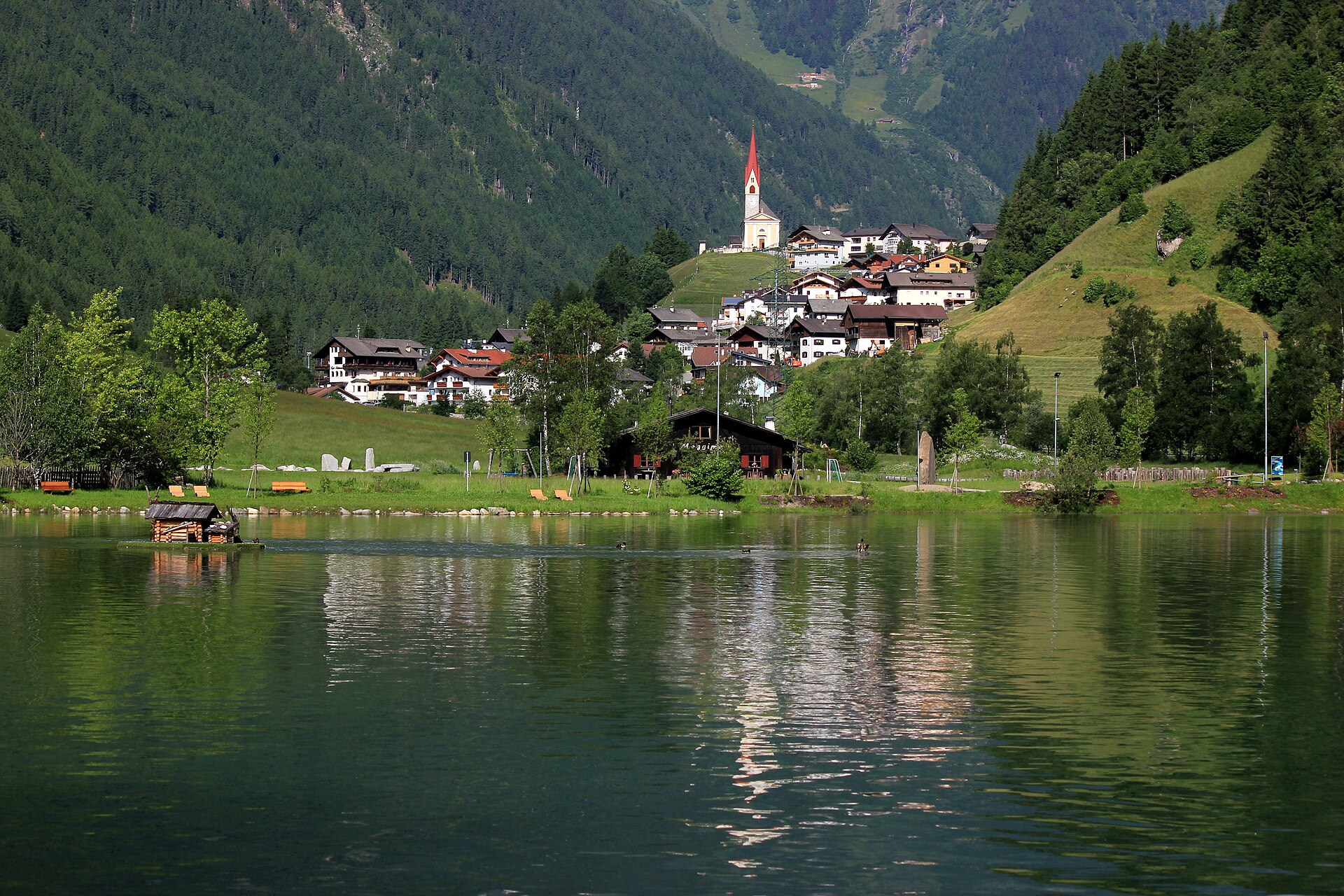
Selva dei Molini/Mühlwald
A side valley of the Valle Aurina below the Speikboden, its hamlets scattered along the Mühlwald stream.
- 2Highlights
- 29Routes
- Featured summit · Speikboden - Monte Spico
Highlights
13 from neighbouring places
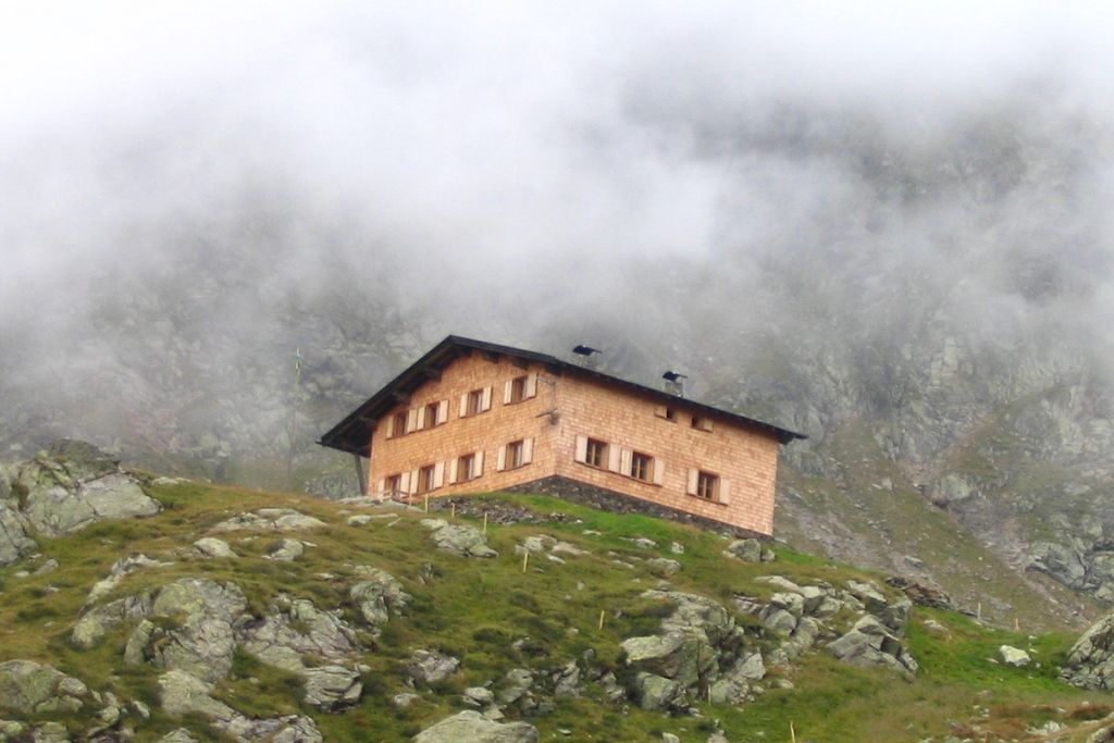
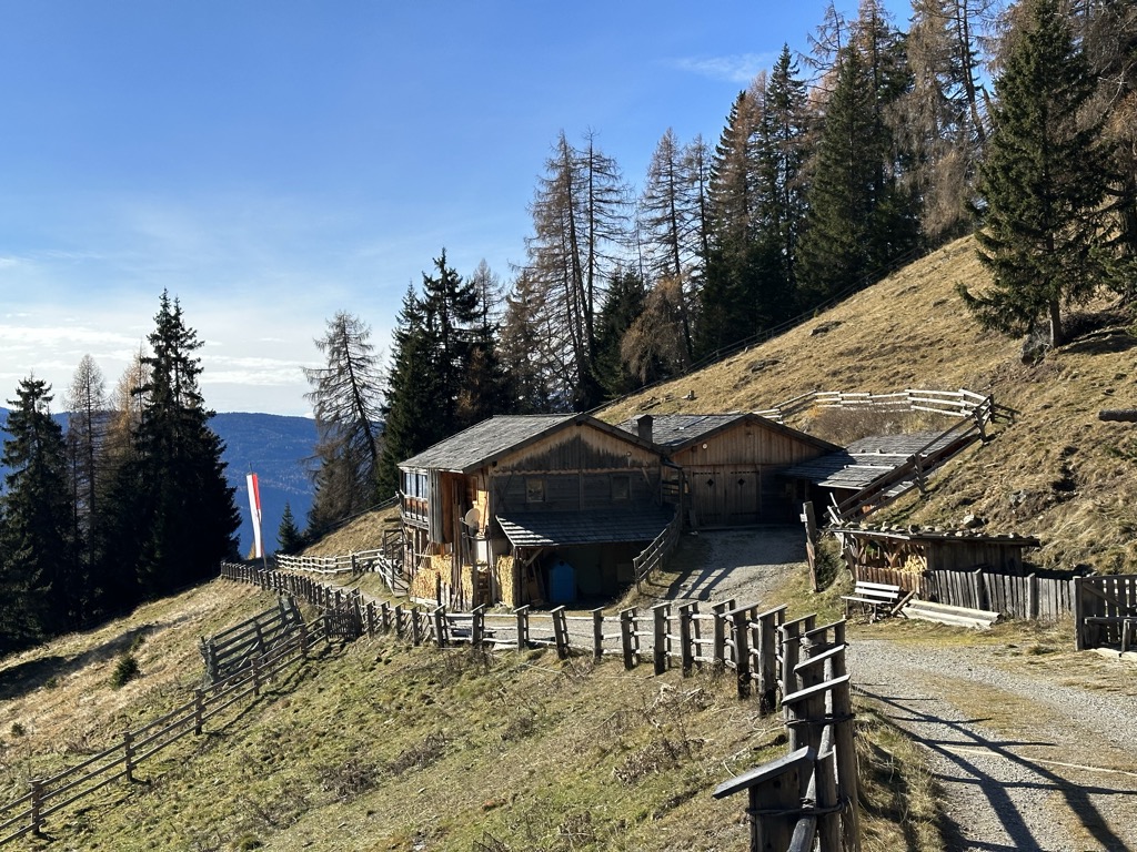
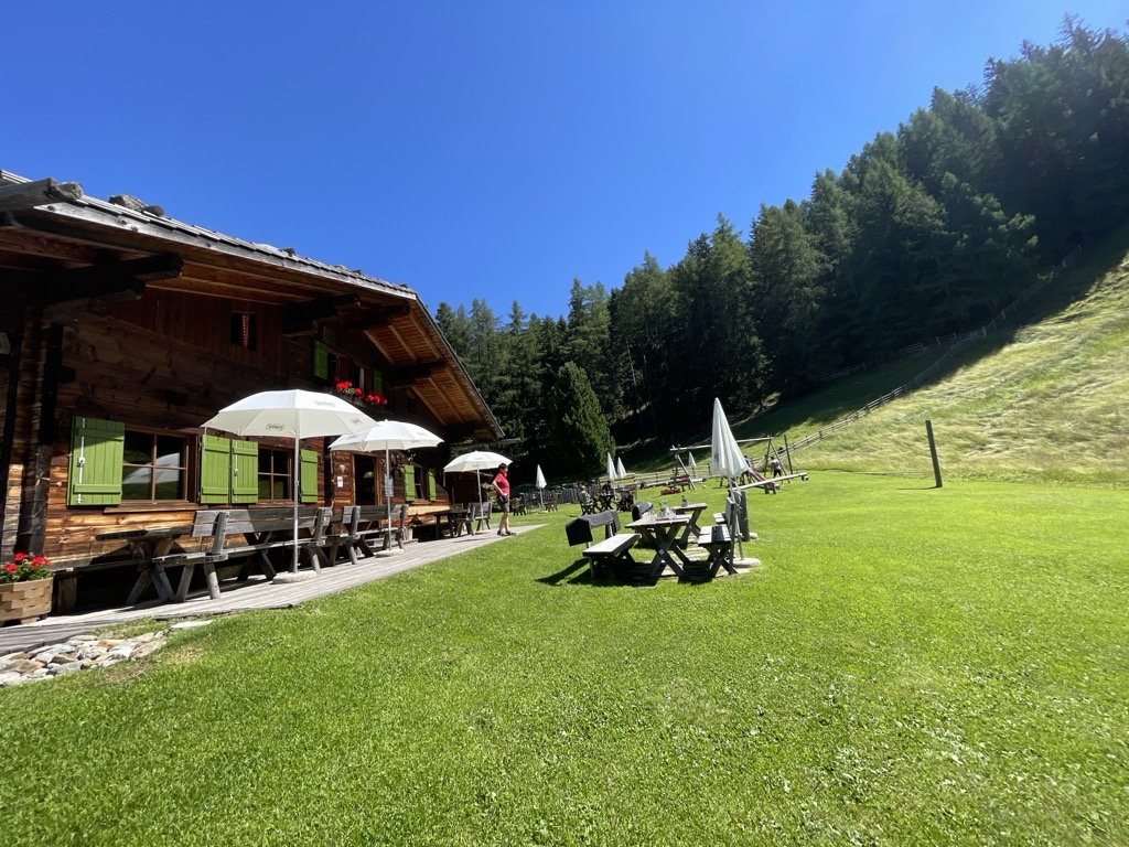
Malga Bergmeisteralm
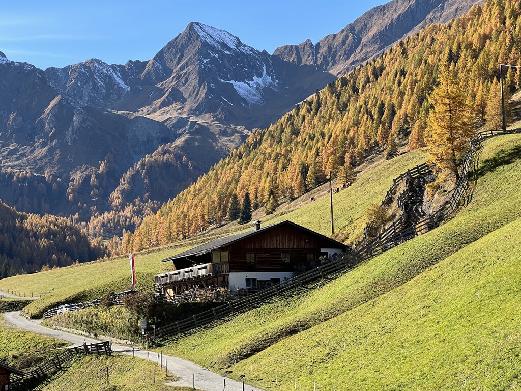
A dairy hut on the pastures above Selva dei Molini, in a side valley of the Valle Aurina.
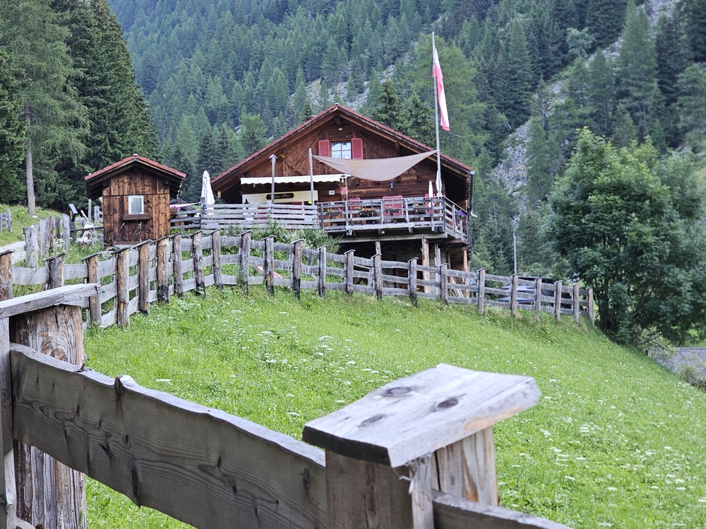
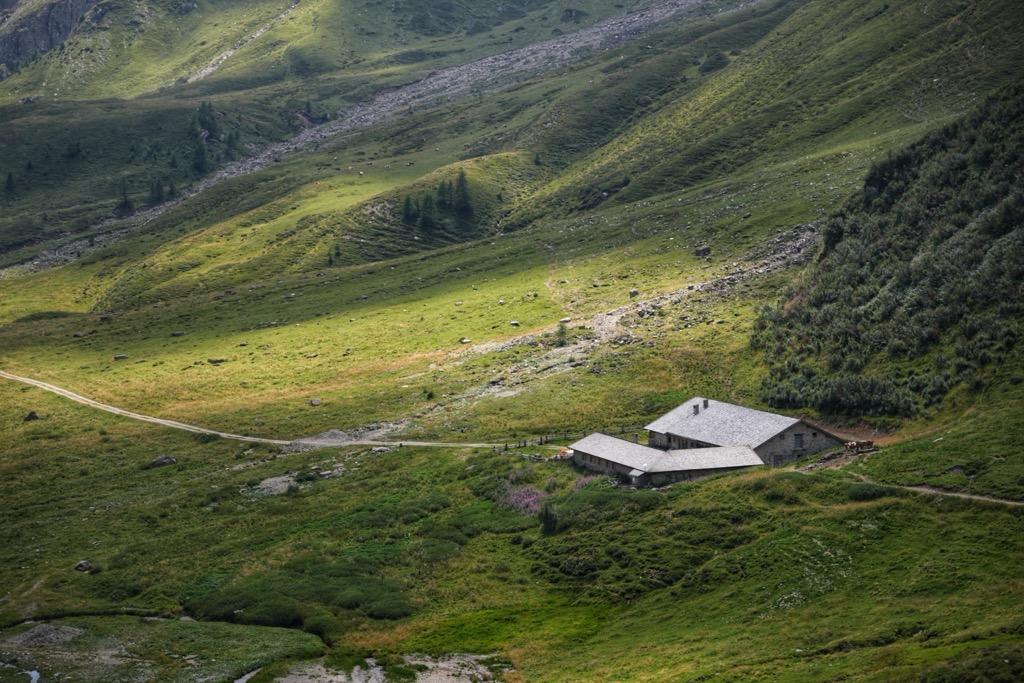
Sterzing, Pfitsch und FreienfeldMalga Mair am Tinkhof
A working dairy on the slopes above Selva dei Molini, reached by a track from the valley road.
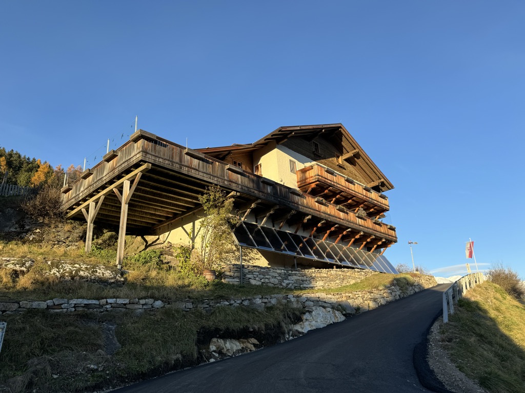
Rifugio Ponte di Ghiaccio
4.1 km away, in Vandoies/Vintl
A refuge at the Passo Ponte di Ghiaccio, between the Val di Fundres and the Neves reservoir, on the Pfunderer Höhenweg.
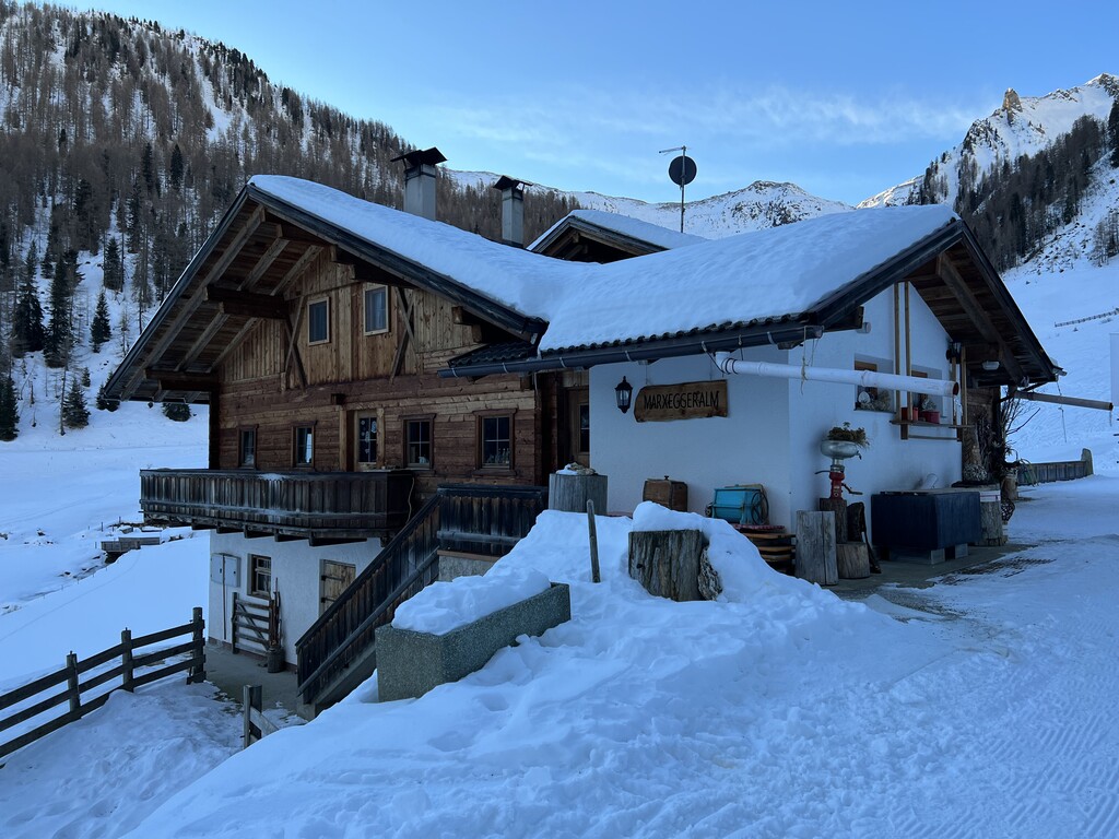
Marxeggeralm malga
4.7 km away, in Valle Aurina/Ahrntal
A dairy hut on the Marxegg pastures of the Valle Aurina, on the wooded slopes above the Ahr valley.
Sterzing, Pfitsch und FreienfeldInnerhofer Alm malga
5.3 km away, in Valle Aurina/Ahrntal
A farm-run dairy hut on the pastures of the Valle Aurina, on the sunny side of the Ahr valley below the Zillertal ridges.
Sterzing, Pfitsch und FreienfeldRifugio Lago di Pausa
5.6 km away, in Terento/Terenten
A refuge beside the Lago di Pausa above Terento, in the Monti di Fundres, on the Pfunderer Höhenweg.
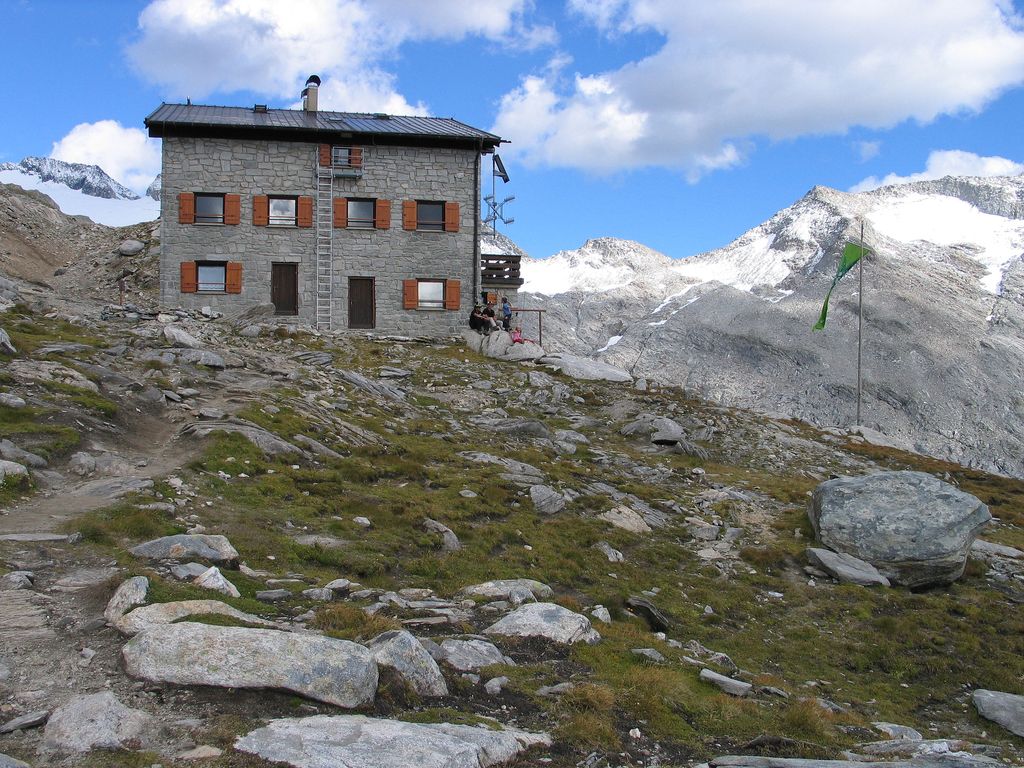
Rifugio Hochfeilerhütte
7 km away, in Val di Vizze/Pfitsch
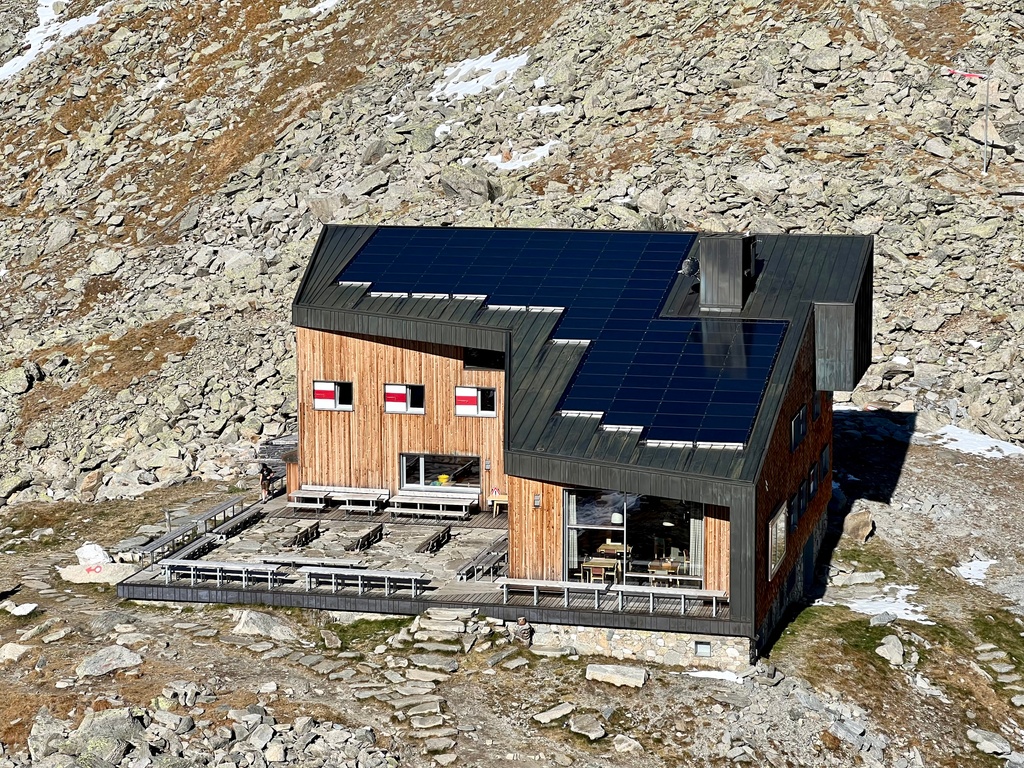
A refuge under the Gran Pilastro at the head of the Val di Vizze, the usual base for the highest summit of the Zillertal Alps.
Riesa Alm malga
7.3 km away, in Valle Aurina/Ahrntal
A dairy hut on the pastures of the Valle Aurina, on the slopes above the Ahr valley in the Zillertal Alps.
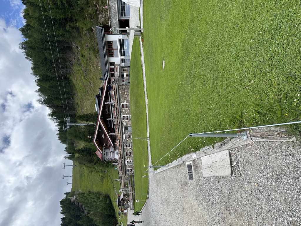
Ristoranti Speikboden
9 km away, in Campo Tures/Sand in Taufers
The mountain restaurants at Speikboden above Campo Tures, reached by cable car, at the start of the walks towards the Sonklarspitz ridge.
Malga Moarhof
9.9 km away, in Chienes/Kiens
A farm dairy on the slopes above Chienes, on the sunny side of the Val Pusteria.
Weitenbergalm
10.5 km away, in Vandoies/Vintl
A dairy hut on the Weitenberg pastures above Vandoies, reached by forest road from the Val Pusteria.
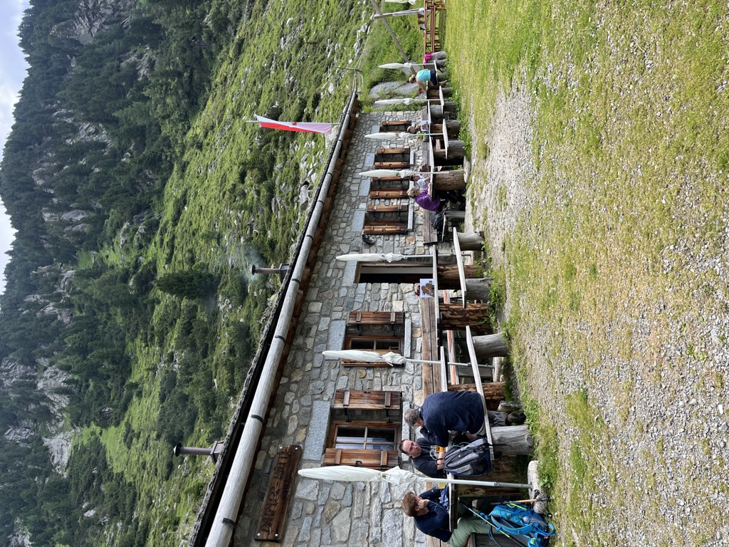
Daimer Hütte malga
11.6 km away, in Valle Aurina/Ahrntal
A small pasture hut in the Valle Aurina, on the mown slopes above the Ahr valley in the Zillertal Alps.
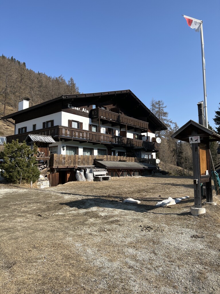
Sterzing, Pfitsch und FreienfeldKiener Alm
12.1 km away, in Vandoies/Vintl
A dairy hut on the pastures above Vandoies, in the Monti di Fundres on the north side of the Val Pusteria.
Niederhofer Alm malga
13.3 km away, in Valle Aurina/Ahrntal
A farm dairy hut on the pastures of the Valle Aurina, above the string of hamlets along the Ahr valley floor.
Sterzing, Pfitsch und FreienfeldAlbergo Kofler am Kofl
14.5 km away, in Falzes/Pfalzen
A mountain inn on a knoll above Falzes, looking down the Val Pusteria towards the Dolomites.
Sterzing, Pfitsch und Freienfeld
Nothing of this kind in Selva dei Molini/Mühlwald.
Routes
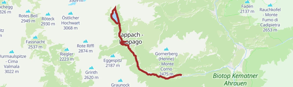
Trekking tour Neves Alp hut
An easy walk beside the Neves reservoir at Lappago to the Neves alpine hut at 1,878 m, served from mid-May until the middle of October.
- 4.0 km
- Distance
- 97 m
- Ascent
- 1 h 10 min
- Duration
- 16
- Check-ins
Open route Sand in TaufersPanoramic trail Speikboden
A circuit over the tops of the Speikboden ridge, facing the Zillertal Alps and the three-thousanders around the Ahrntal.
- 9.7 km
- Distance
- 671 m
- Ascent
- 4 h 29 min
- Duration
- 162
- Check-ins
 Speikboden - Monte Spico 2 518 m
- Sonnklar Nock 2 390 m
- Kleinerer Nock - Il Dosso Piccolo 2 227 m
- Seewassernock 2 507 m
- Großer Nock - Il Dosso Grande 2 400 m
 Sonnklarhütte 2 384 m
- +4
Open route Sand in TaufersHigh Altitude Trail Kellerbauer
A high traverse between the Selva dei Molini and Rio Bianco valleys, linking the Sonnklar hut with the Chemnitzer Hütte; exposed and needing sure footing.
- 21.2 km
- Distance
- 505 m
- Ascent
- 7 h 10 min
- Duration
- 122
- Check-ins
- Zinsnock 2 435 m
- Fadner - Gallina 2 457 m
- Stoßkofel 2 474 m
- Wurmtaler Spitz - Giogo del Corno 2 343 m
- Sonnklarhütte 2 384 m
- Chemnitzer Hütte - Rifugio Porro 2 420 m
- +14
Open route Tauferer AhrntalRound hike around Mühlwalder See - Meggima
A barrier-free circuit of the Mühlwald reservoir at about 1,220 m below the village, level throughout, with shaded benches along the shore.
- 725 m
- Distance
- 0 m
- Ascent
- 10 min
- Duration
- 7
- Check-ins
- Meggima 1 143 m
 Mühlwald See - Lago Selva dei Molini 1 135 m
Open route Sand in TaufersSun trail
A long sunny traverse on the Speikboden slopes above Campo Tures, linking pasture huts along the way.
- 12.0 km
- Distance
- 697 m
- Ascent
- 4 h 53 min
- Duration
- 71
- Check-ins
- Bergrestaurant Speikboden 1 973 m
- Iglu Après-Ski 1 973 m
- Enzian Hütte 1 950 m
- Weizgruber Alm 2 032 m
- Trejer-Alm - Malga Michele di Fuori 1 987 m
 Mühlwalder Jöchl - Giogo di Selva 2 342 m
- +2
Open route Sand in TaufersAlpine hike Kellerbauerweg
A long high traverse on the Kellerbauerweg to the Tristensee tarn and the Chemnitzer hut at the Neves pass.
- 21.3 km
- Distance
- 889 m
- Ascent
- 8 h 1 min
- Duration
- 115
- Check-ins
- Zinsnock 2 435 m
- Wurmtaler Spitz - Giogo del Corno 2 343 m
- Chemnitzer Hütte - Rifugio Porro 2 420 m
- Bergrestaurant Speikboden 1 973 m
- Nevesjoch - Passo di Neves 2 407 m
- Iglu Après-Ski 1 973 m
- +12
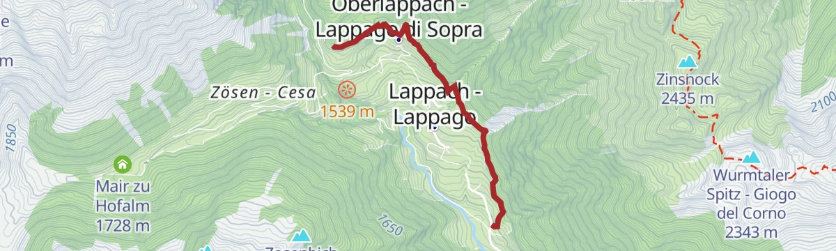
Open route Sand in TaufersTrekking tour Mair am Tinkhof Alp hut
A short climb at Lappago to the Mair am Tinkhof alpine hut at 1,750 m, which serves visitors from June until October.
- 3.1 km
- Distance
- 328 m
- Ascent
- 1 h 27 min
- Duration
- 7
- Check-ins
Open route Sand in TaufersLocal mountain Speikboden
The direct climb to the top of the Speikboden, the home mountain above Campo Tures, named after the alpine valerian growing on it.
- 3.2 km
- Distance
- 557 m
- Ascent
- 2 h 7 min
- Duration
- 70
- Check-ins
- Speikboden - Monte Spico 2 518 m
- Bergrestaurant Speikboden 1 973 m
- Iglu Après-Ski 1 973 m
- Speikbodensee - Laghetto di Monte Spico 2 279 m
Open route Sand in TaufersDaimerweg [trail] – Kellerbauerweg [trail] – Nevesjoch / Chemnitzerhütte [alpine hut]
A long link on the Daimer and Kellerbauer paths across the Speikboden flank to the Neves pass and the Chemnitzer hut.
- 18.9 km
- Distance
- 913 m
- Ascent
- 6 h 56 min
- Duration
- 111
- Check-ins
- Zinsnock 2 435 m
- Fadner - Gallina 2 457 m
- Stoßkofel 2 474 m
- Wurmtaler Spitz - Giogo del Corno 2 343 m
- Chemnitzer Hütte - Rifugio Porro 2 420 m
- Bergrestaurant Speikboden 1 973 m
- +13
Open route Sand in TaufersHike to Raschtl Waterfall
A walk into the forest above Selva dei Molini to the Raschtl falls, where the water drops over several rock steps in a cloud of spray.
- 5.4 km
- Distance
- 250 m
- Ascent
- 1 h 39 min
- Duration
- 5
- Check-ins
Open route Sand in TaufersDaimerweg [trail] – Kellerbauerweg [trail] – Gorner Joch [yoke] – Weißenbach
A traverse on the Daimer and Kellerbauer paths over the Gorner Joch and down to Weissenbach in the Ahrntal.
- 14.5 km
- Distance
- 606 m
- Ascent
- 5 h 47 min
- Duration
- 65
- Check-ins
- Fadner - Gallina 2 457 m
- Stoßkofel 2 474 m
- Bergrestaurant Speikboden 1 973 m
- Iglu Après-Ski 1 973 m
- Pircher Alm 1 810 m
- Mühlwalder Jöchl - Giogo di Selva 2 342 m
- +4
Open route Sand in TaufersNeveser Höhenweg
A high-level route above the Neves reservoir between the Edelrauthütte and the Chemnitzer Hütte, counted among the finest mountain traverses in South Tyrol.
- 16.3 km
- Distance
- 1 018 m
- Ascent
- 6 h 58 min
- Duration
- 81
- Check-ins
- Chemnitzer Hütte - Rifugio Porro 2 420 m
- Nevesjoch - Passo di Neves 2 407 m
- Edelrauthütte 2 545 m
- Eisbruggjoch - Passo Ponte di Ghiaccio 2 545 m
- Untermaureralm 1 871 m
- Neves-Alm 1 873 m
Open route Sand in TaufersTracking tour Bergmeister Alp Hut
A short walk at Lappago to the Bergmeister alpine hut at 1,720 m, which stays open right through the year.
- 2.0 km
- Distance
- 267 m
- Ascent
- 1 h 8 min
- Duration
- 4
- Check-ins
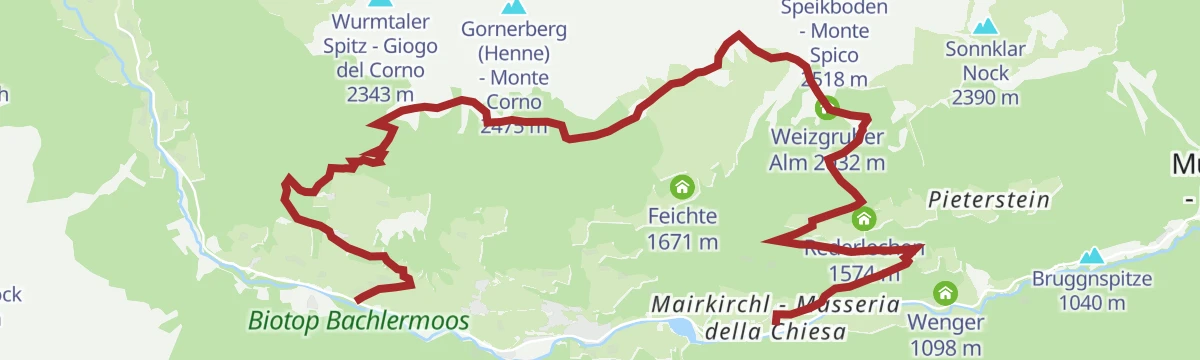
Open route Sand in TaufersDaimerweg [trail] – Kellerbauerweg [trail] – Mühlwalder Jöchl [yoke] – Weizgruber Alm [alpine hut] – Mühlwald (Pietersteiner Alm [alpine hut]) – Mühlen in Taufers
A crossing over the Mühlwalder Jöchl by the Weizgruber and Pietersteiner alms, dropping into Mühlwald and down to Molini di Tures.
- 10.9 km
- Distance
- 538 m
- Ascent
- 5 h 42 min
- Duration
- 52
- Check-ins
- Bruggnspitze 1 040 m
- Bergrestaurant Speikboden 1 973 m
- Iglu Après-Ski 1 973 m
- Weizgruber Alm 2 032 m
- Mühlwalder Jöchl - Giogo di Selva 2 342 m
- Speikbodensee - Laghetto di Monte Spico 2 279 m
- +2
Open route Sand in TaufersHigh Altitude Trail Neves
A demanding traverse high above the Neves reservoir between the Edelrauthütte at 2,545 m and the Chemnitzer Hütte, needing a head for heights.
- 17.4 km
- Distance
- 1 004 m
- Ascent
- 7 h 2 min
- Duration
- 74
- Check-ins
- Chemnitzer Hütte - Rifugio Porro 2 420 m
- Nevesjoch - Passo di Neves 2 407 m
- Edelrauthütte 2 545 m
- Eisbruggjoch - Passo Ponte di Ghiaccio 2 545 m
- Untermaureralm 1 871 m
Open route Tauferer AhrntalWay across the village
A gentle round through Lappago and the farmed slopes above it, with little steep ground and plenty to see of the village and its fields.
- 2.9 km
- Distance
- 322 m
- Ascent
- 1 h 21 min
- Duration
Open route Sand in TaufersDaimerweg [trail] – Kellerbauerweg [trail] – Mühlwalder Jöchl [yoke] – Mitterberg Alm [alpine hut] – Weißenbach
A crossing over the Mühlwalder Jöchl by the Mitterberg alm and down to Weissenbach, on the Daimer and Kellerbauer paths.
- 8.4 km
- Distance
- 483 m
- Ascent
- 4 h 32 min
- Duration
- 44
- Check-ins
- Bergrestaurant Speikboden 1 973 m
- Iglu Après-Ski 1 973 m
- Mühlwalder Jöchl - Giogo di Selva 2 342 m
- Speikbodensee - Laghetto di Monte Spico 2 279 m
Open route Sand in TaufersTrail "Power of Water"
One of four water-themed routes in the Selva dei Molini valley, following the streams and falls that gave the valley its reputation for water.
- 16.2 km
- Distance
- 838 m
- Ascent
- 5 h 14 min
- Duration
- 24
- Check-ins
- Untermaureralm 1 871 m
- Neves-Alm 1 873 m
- Meggima 1 143 m
- Mühlwald See - Lago Selva dei Molini 1 135 m
- Venezianische Säge 1 212 m
Open route Sand in TaufersTrekking tour rifugio Edelrauthütte/Ponte di Ghiaccio
A climb to the Edelrauthütte on the crossing from Lappago to Fundres, a Zillertal base for the Gran Pilastro and for the Fundres and Neves high routes.
- 5.1 km
- Distance
- 676 m
- Ascent
- 2 h 42 min
- Duration
- 41
- Check-ins
- Edelrauthütte 2 545 m
- Eisbruggjoch - Passo Ponte di Ghiaccio 2 545 m
- Untermaureralm 1 871 m
- Neves-Alm 1 873 m
Open route Sand in TaufersKnappnock
The village mountain above Selva dei Molini, reached from the centre; the final pull to the top of the Knappnock takes about three quarters of an hour.
- 10.9 km
- Distance
- 1 027 m
- Ascent
- 6 h 24 min
- Duration
- 11
- Check-ins
- Knappnock - Dosso dei Canopi 2 132 m
- Meggima 1 143 m
- Mühlwald See - Lago Selva dei Molini 1 135 m
- Obermoaralm 1 938 m
- Ritzeralm (Wengalm) - Malga di Venga 1 765 m
Open route AVS Sektion Sand in Taufers"Flaming" Flemm
A round from Zösen above Lappago by the Zösenalm and the drained Flemmsee basin to the Eggespitz, facing Weißzint and Großer Möseler across the valley.
- 9.9 km
- Distance
- 653 m
- Ascent
- 4 h 13 min
- Duration
- 19
- Check-ins
Open route Sand in TaufersHike along the sunny side of Mühlwald/Selva dei Molini
A traverse of the sunny flank of the Selva dei Molini valley from pasture to pasture, best in early summer or autumn and reachable by bus.
- 15.3 km
- Distance
- 967 m
- Ascent
- 6 h 47 min
- Duration
- 8
- Check-ins
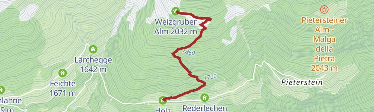
- Weizgruber Alm 2 032 m
- Holz 1 558 m
- Schustegge 1 151 m
- Forer 1 437 m
- Sitzen 1 353 m
- Viehraste 1 299 m
- +5
Open route Sand in TaufersEggespitz
A circular route above Lappago to the Eggespitz at 2,187 m, an undemanding grassy summit facing the main crest of the Zillertal Alps.
- 8.8 km
- Distance
- 519 m
- Ascent
- 3 h 37 min
- Duration
- 19
- Check-ins
Open route AVS Sektion Sand in TaufersDonnerschlag
A long climb to the Donnerschlag, a solitary summit of 2,299 m standing clear of the Pfunderer range with a view on every side.
- 9.8 km
- Distance
- 1 269 m
- Ascent
- 7 h 19 min
- Duration
- 5
- Check-ins
- Donnerschlag 2 299 m
- Obermoaralm 1 938 m
- Ritzeralm (Wengalm) - Malga di Venga 1 765 m
- Untere Bruggeralm 1 688 m
- Brugger - al Ponte 1 084 m
Open route AVS Sektion Sand in TaufersTrekking tour Weizgruber Alp Hut
A steep, short climb above Selva dei Molini to the Weizgruber hut at 2,030 m, open in summer and again from Christmas into March.
- 2.2 km
- Distance
- 481 m
- Ascent
- 1 h 45 min
- Duration
- 8
- Check-ins
Open route Sand in TaufersOn the shady side of Selva dei Molini- Mühlwald
A quiet climb up the shaded flank of the Selva dei Molini valley to the Knappnock, steep in places and a sound choice in hot weather.
- 11.1 km
- Distance
- 1 149 m
- Ascent
- 6 h 52 min
- Duration
- 5
- Check-ins
- Knappnock - Dosso dei Canopi 2 132 m
- Obermoaralm 1 938 m
- Ritzeralm (Wengalm) - Malga di Venga 1 765 m
- Pitzer 1 075 m
- Untere Bruggeralm 1 688 m
- Brugger - al Ponte 1 084 m
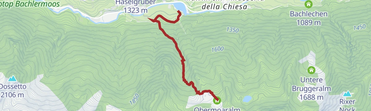
Open route Sand in TaufersTrekking tour Obermair Alp hut
A steep approach above Selva dei Molini to the Obermair alpine hut at 1,939 m, open from the middle of June to the middle of October.
- 3.2 km
- Distance
- 806 m
- Ascent
- 2 h 54 min
- Duration
- 6
- Check-ins
- Mühlwald See - Lago Selva dei Molini 1 135 m
- Obermoaralm 1 938 m
Open route Sand in TaufersHike along the shady side of Mühlwald/Selva dei Molini
A little-used route on the shady side of the Selva dei Molini valley, climbing steeply to the Knappnock well away from the busier paths.
- 10.2 km
- Distance
- 1 171 m
- Ascent
- 6 h 53 min
- Duration
- 4
- Check-ins
- Knappnock - Dosso dei Canopi 2 132 m
- Obermoaralm 1 938 m
- Ritzeralm (Wengalm) - Malga di Venga 1 765 m
- Untere Bruggeralm 1 688 m
- Brugger - al Ponte 1 084 m
Open route Sand in TaufersPath from Mühlwald to Lappach
A valley walk from Selva dei Molini up to Lappago, following the side valley known for its streams and water.
- 7.9 km
- Distance
- 264 m
- Ascent
- 2 h 17 min
- Duration
- 5
- Check-ins
Open route Sand in Taufers
No routes of this kind in Selva dei Molini/Mühlwald yet.
The region's own picks

Featured route
Trekking tour Neves Alp hut
An easy walk beside the Neves reservoir at Lappago to the Neves alpine hut at 1,878 m, served from mid-May until the middle of October.
Planning a trip to Selva dei Molini/Mühlwald?
Everything else Trentino-Alto Adige/Südtirol has, in one place


Take Selva dei Molini/Mühlwald with you into the mountains
Every route on this page with 3D terrain, GPX navigation and offline maps — including the valleys with no signal.
Data sources
- Official website: ahrntal.com ↗
- Routes and highlights: Sand in Taufers, Sterzing, Pfitsch und Freienfeld, AVS Sektion Sand in Taufers, Tauferer Ahrntal, YesAlps, Dolomiti
- Published as open data by the tourist boards named above.
- Region summary generated from the board's own material.
