
 Historic site







Curated by Dolomitiprealpi
Sedico
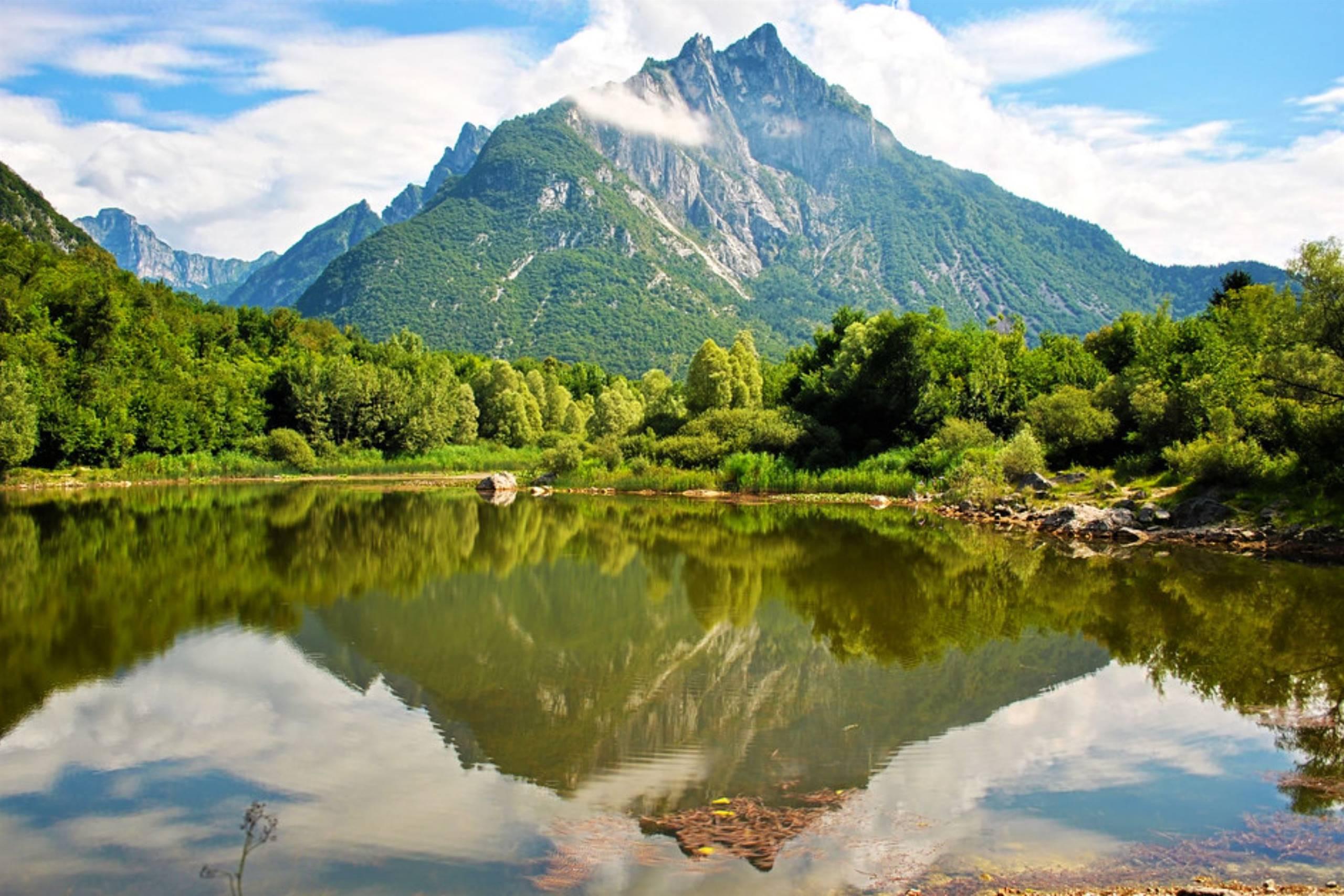
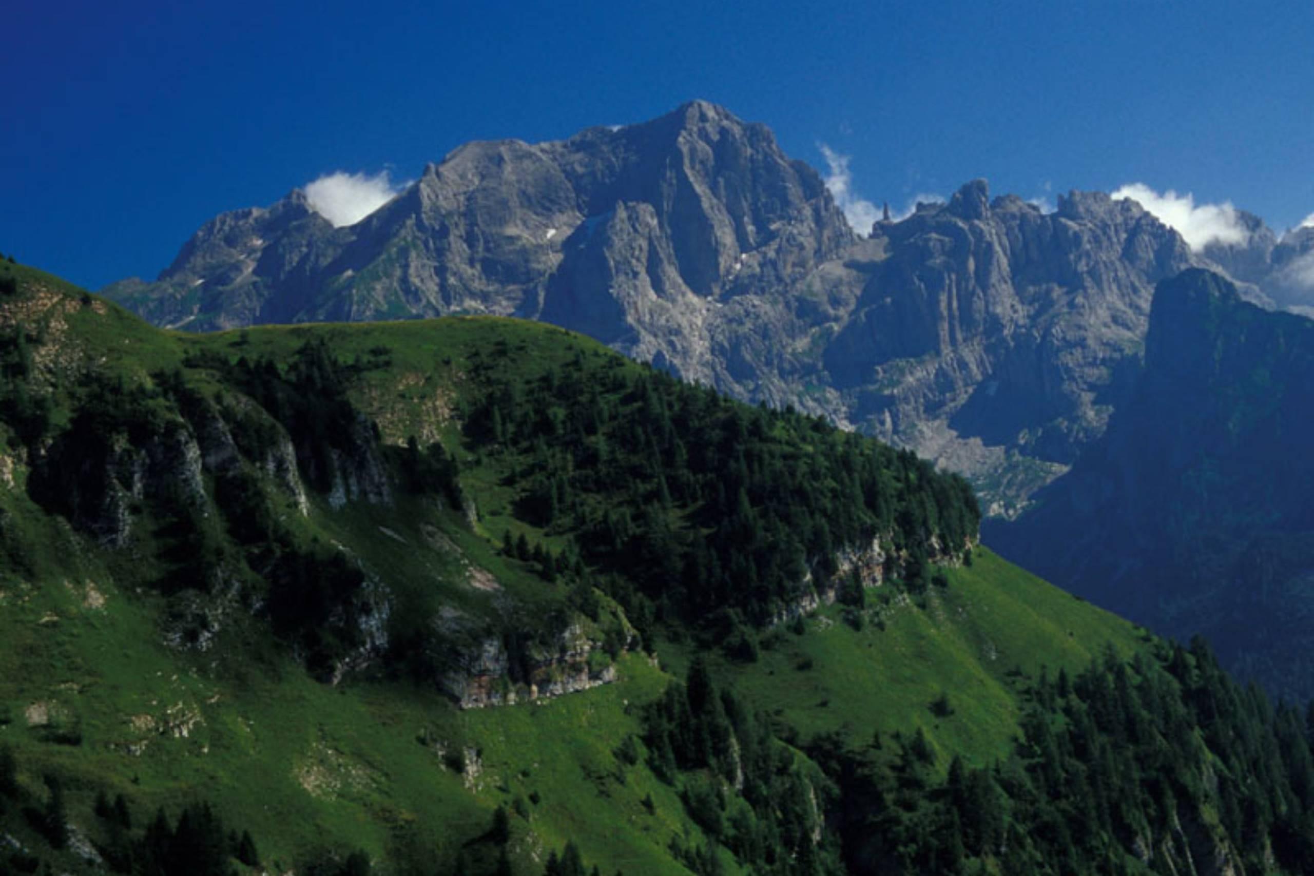
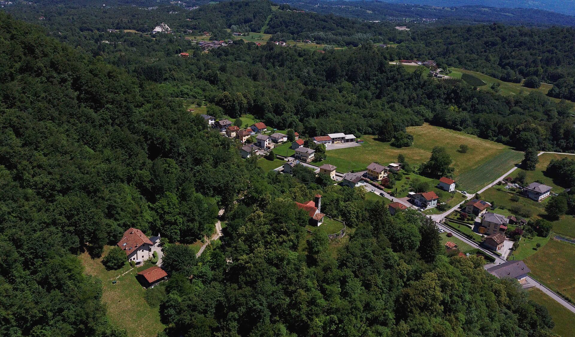
A Belluno-valley comune where the Cordevole joins the Piave, below the Schiara in the Dolomiti Bellunesi park.
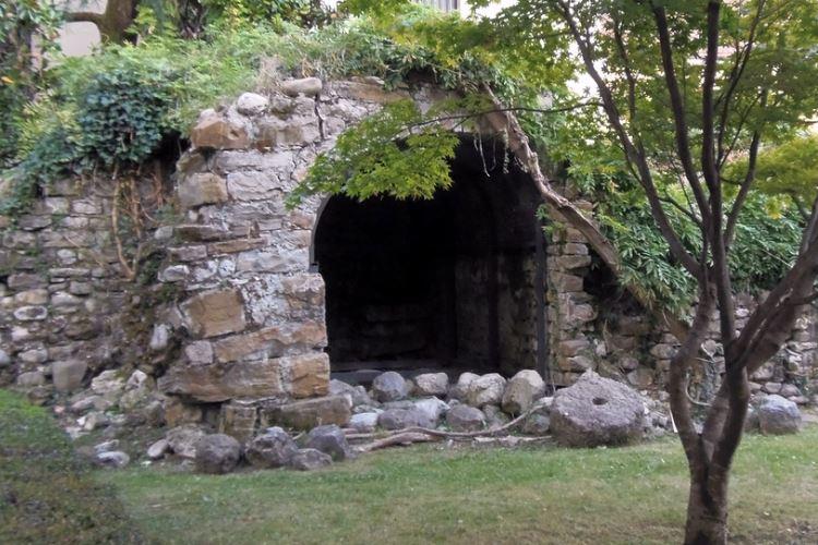
Photo: Syrio · CC BY-SA 4.0 licence
- 2Highlights
- 12Routes
- Featured summit · Monte Schiara
Highlights
13 from neighbouring places
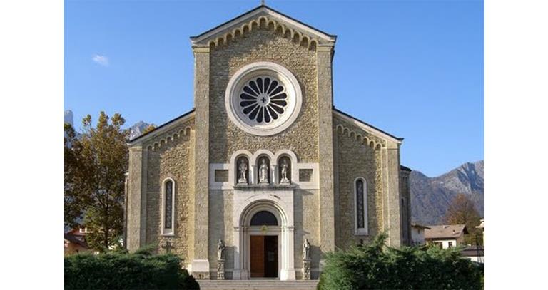
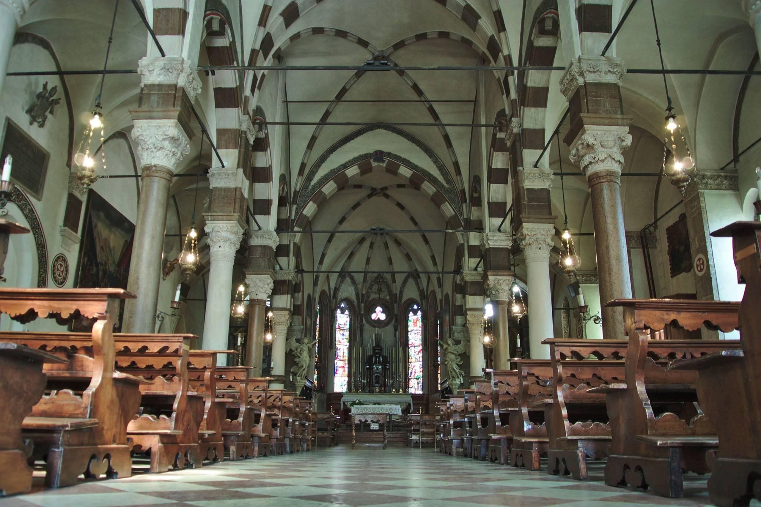
Chiesa Parrocchiale Santa Maria Annunziata
The parish church of Sedico, dedicated to the Annunciation, in the Valbelluna where the Cordevole meets the Piave.
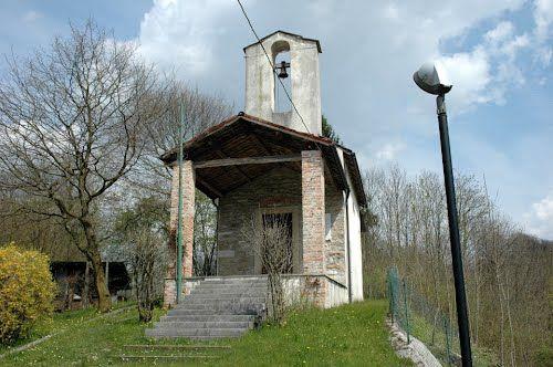
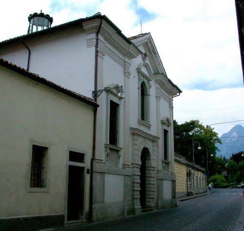
Chiesa San Pietro in Corona
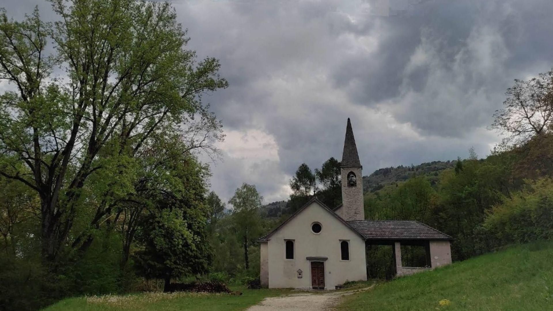
The church of San Pietro in Corona, in the comune of Sedico, at the foot of the Dolomiti Bellunesi national park.
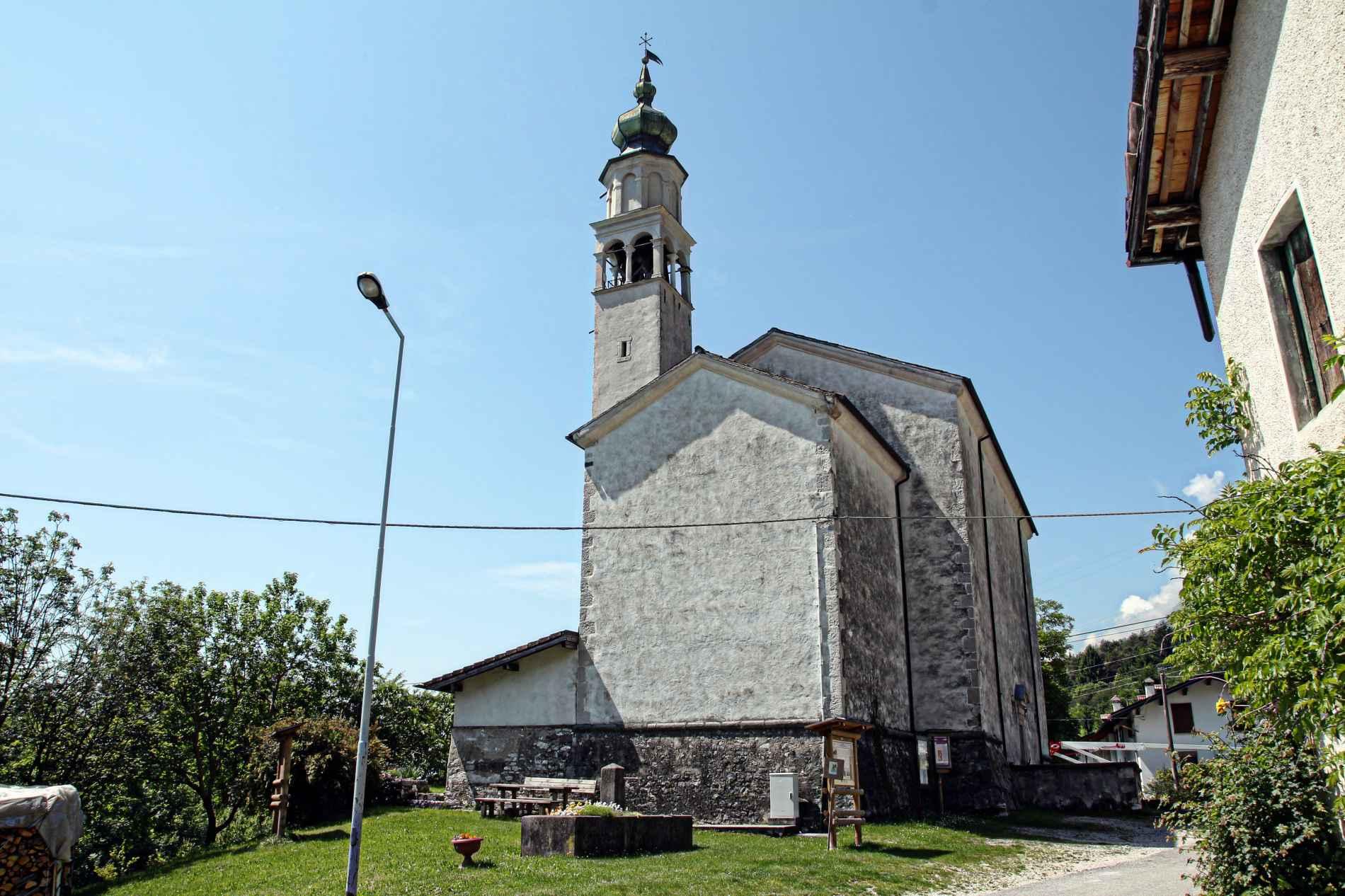
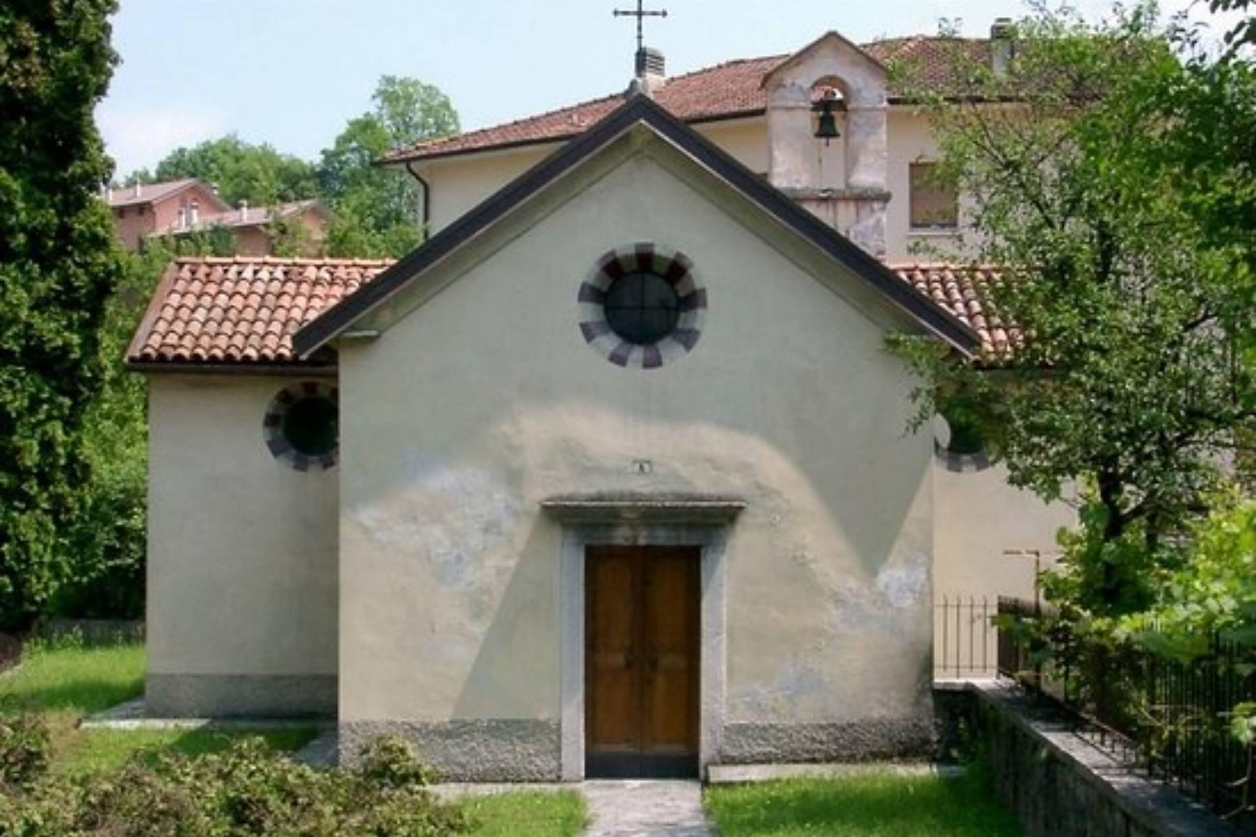
Chiesa di San Gottardo
1.5 km away, in Sospirolo
A church at Sospirolo, in the lower Cordevole valley north-west of Belluno.
Lago di Vedana
2.4 km away, in Sospirolo
A small lake at the mouth of the Val Cordevole near Sospirolo, below the walls of the Certosa di Vedana.
Lago del Mis
5.5 km away, in Sospirolo
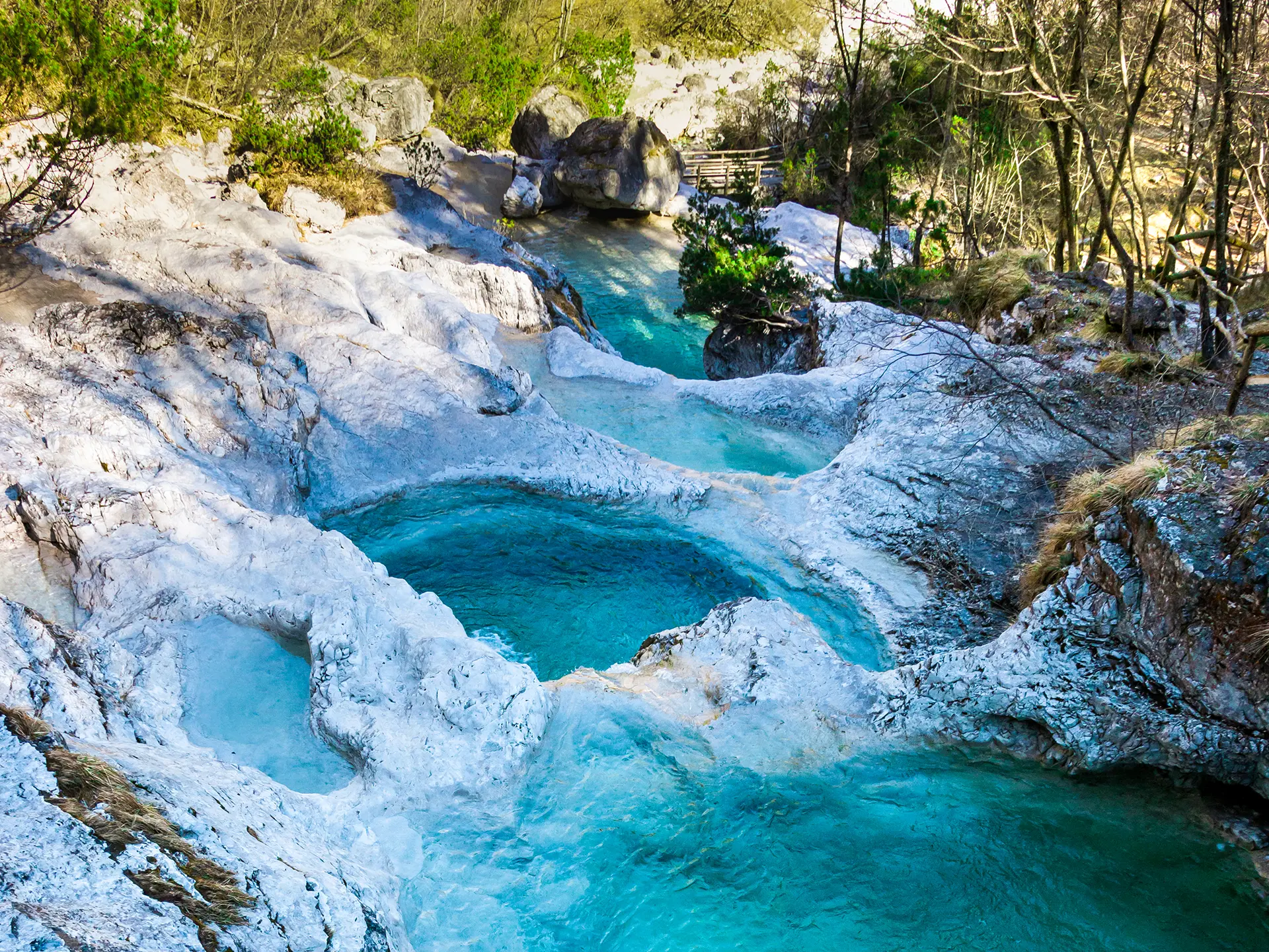
A turquoise reservoir in the Val Mis, with the Cadini del Brenton potholes on the stream above.
Salita al rifugio Bianchet
6.2 km away, in Belluno
The walk up to Rifugio Bianchet, in the Schiara group of the Dolomiti Bellunesi national park north of Belluno.
Chiesa di San Mamante
6.6 km away, in Belluno
A church dedicated to Saint Mamas in the comune of Belluno, in the hills of the Val Belluna above the Piave.
Cascata della Soffia
6.8 km away, in Sospirolo
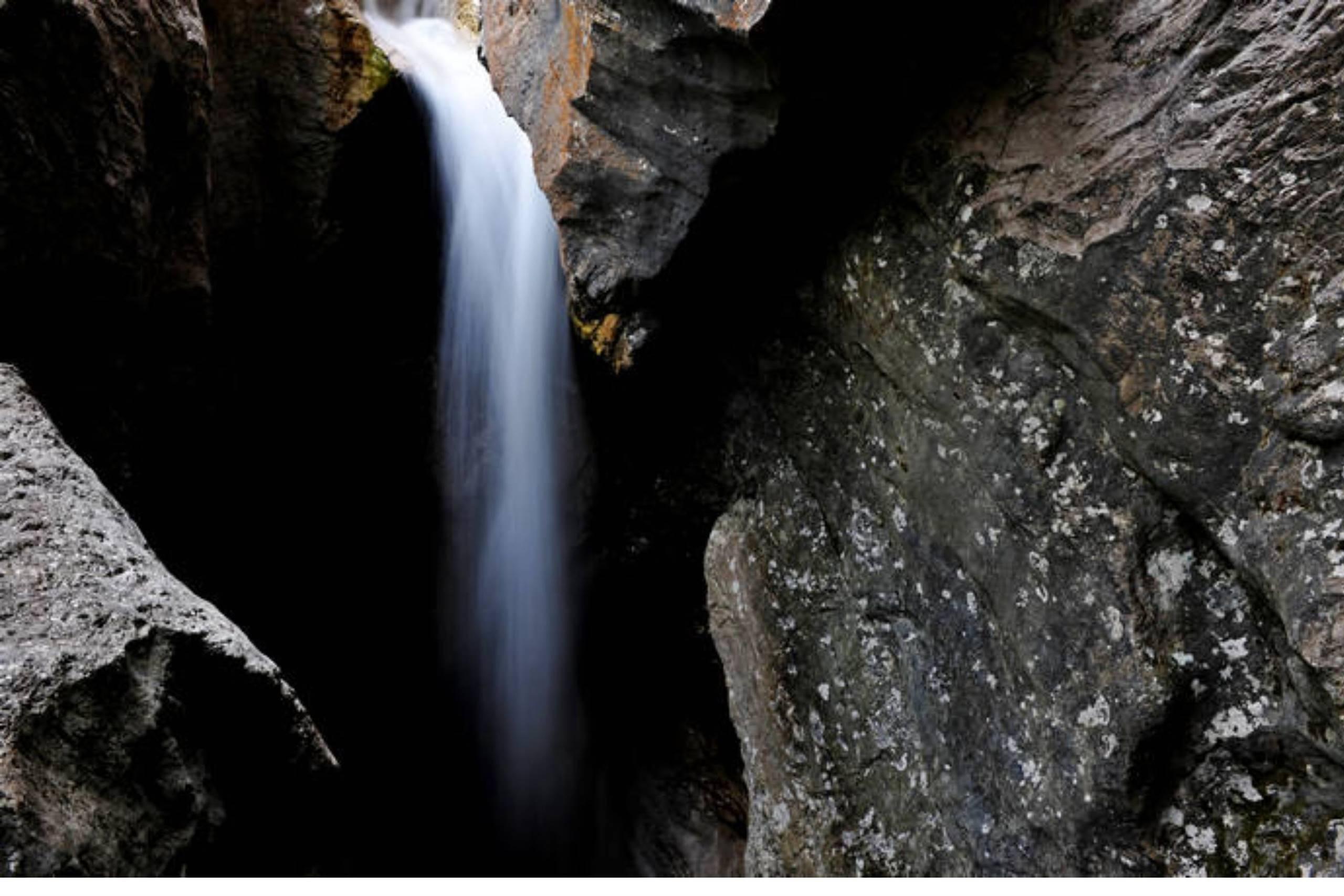
A waterfall on the Torrente Mis in the Valle del Mis, inside the Dolomiti Bellunesi national park at Sospirolo.
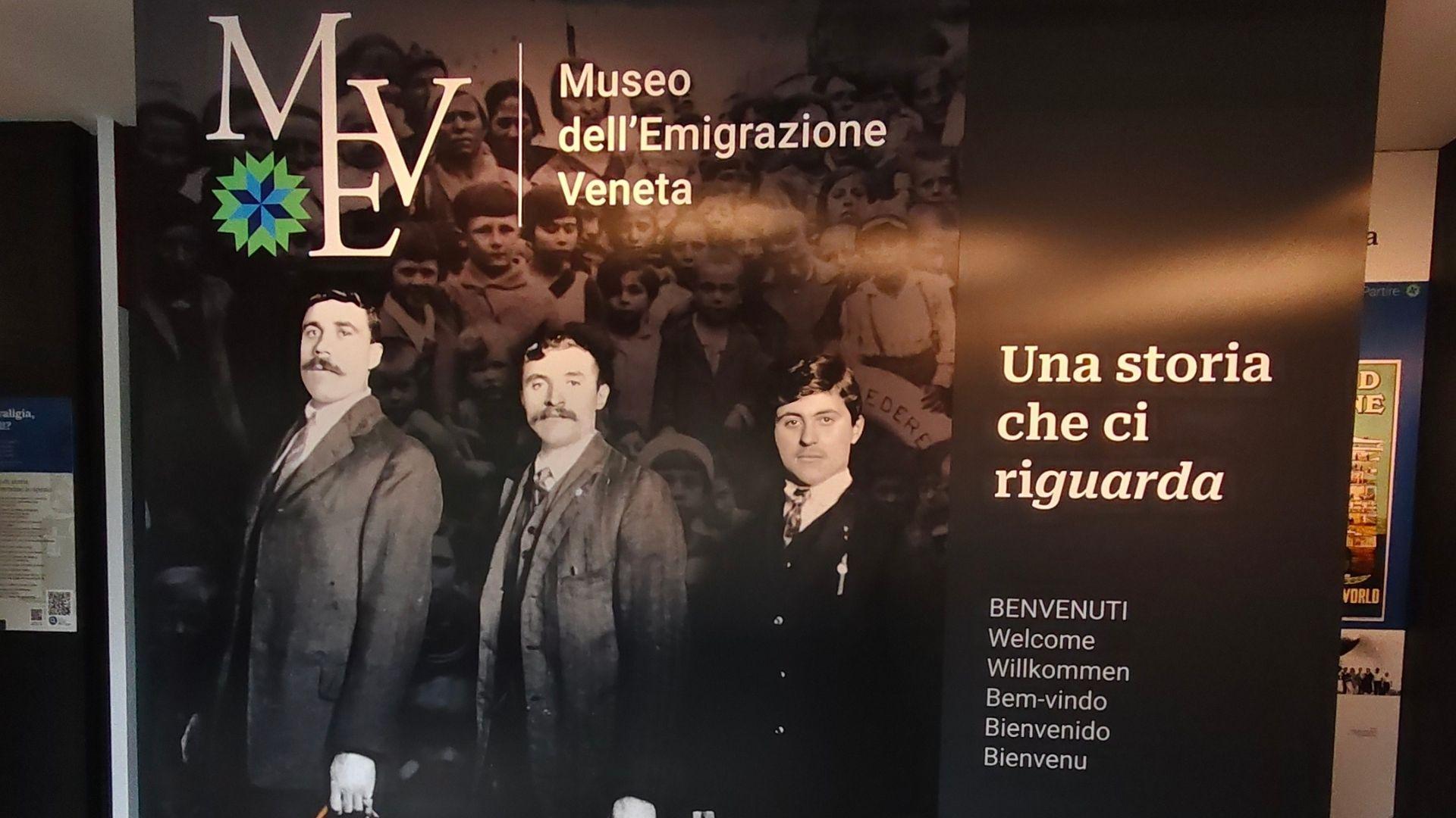
Museo dell’Emigrazione Veneta MEV
7 km away, in Belluno
A museum on emigration from the Veneto and the Belluno valleys, in the comune of Belluno.
Chiesa di Loreto
7.1 km away, in Belluno
A church of the Madonna of Loreto in the comune of Belluno, in the Val Belluna between the Piave and the Dolomites.
Chiesa di San Rocco
7.2 km away, in Belluno
A church dedicated to Saint Roch in the comune of Belluno, in the Val Belluna along the Piave.
Chiesa di San Biagio
7.3 km away, in Belluno
A church dedicated to Saint Blaise in the comune of Belluno, in the Piave valley at the foot of the Dolomites.
Castello di Belluno
7.4 km away, in Belluno
The site of Belluno's medieval castle, on the high ground above the Piave at the edge of the old centre.
Piazza castello
7.4 km away, in Belluno
A square in the old centre of Belluno, on the ground once occupied by the town's castle above the Piave.
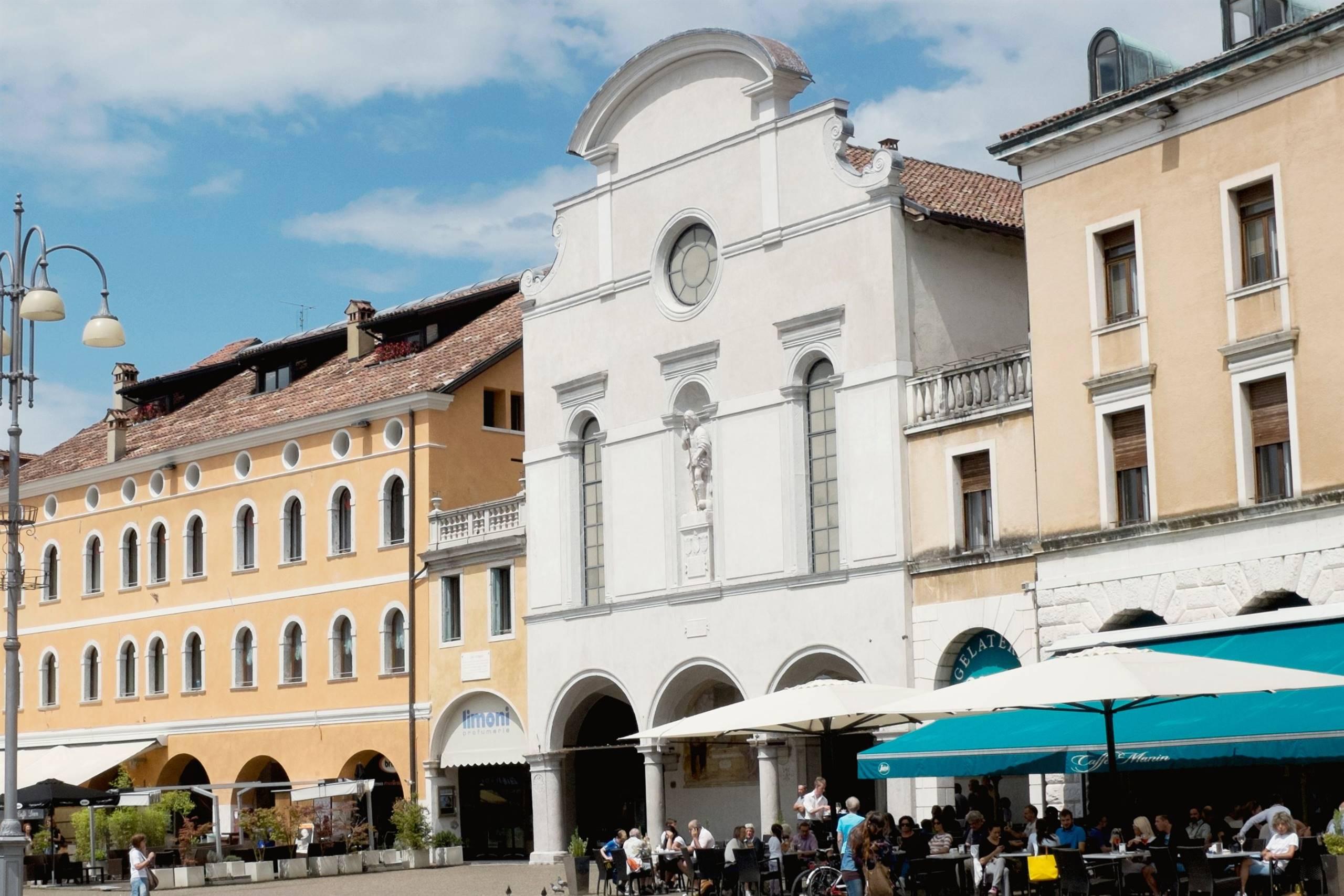
Chiesa di Santo Stefano
7.4 km away, in Belluno
A large church dedicated to Saint Stephen in the old centre of Belluno, on the terrace above the Piave.
Nothing of this kind in Sedico.
Routes
Alta Via no.1 - Stage 12
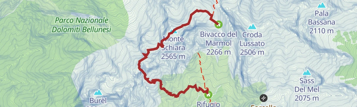
The Marmol via ferrata, the usual way down from the Marmol bivouac to the Settimo Alpini hut, some 500 m of rock in bare surroundings and serious in bad weather.
- 4.0 km
- Distance
- 509 m
- Ascent
- 5 h 34 min
- Duration
- 25
- Check-ins
 Monte Schiara 2 565 m
- Gusèla del Vescovà 2 365 m
 Rifugio 7° Alpini 1 498 m
- Bivacco Sperti 2 000 m
- Bivacco Ugo Dalla Bernardina 2 320 m
- Bivacco del Marmol 2 266 m
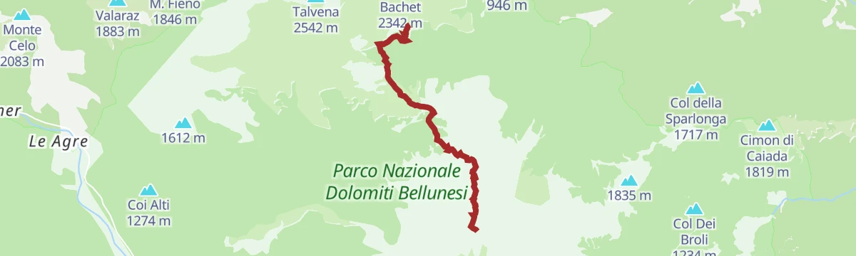
Open route Cortina Marketing Se.Am.AVDB - Stage 2: Rif. Pramperet - Rif. Bianchet
A solitary stage through the hanging Van de Zità valleys and over high passes to Pian de Fontana and Val Vescovà, under the Schiara.
- 11.1 km
- Distance
- 778 m
- Ascent
- 6 h 19 min
- Duration
- 60
- Check-ins
- Cima De Zità di Mezzo 2 451 m
- Rifugio Sommariva al Pramperet 1 857 m
- Rifugio Furio Bianchet 1 245 m
- Bivacco Dal Mas 1 634 m
- Rifugio Pian de Fontana 1 632 m
 Forcella De Zita Sud 2 351 m
- +1
Open route Dolomiti Bellunesi - The Mountains of VeniceAlta Via no. 1 - Stage 11
Stage eleven of the Alta Via 1, leaving the Pian de Fontana hut over pasture and wooded slopes to the Forcella La Varetta in the Schiara group.
- 5.8 km
- Distance
- 965 m
- Ascent
- 4 h 22 min
- Duration
- 16
- Check-ins
- Bivacco Dal Mas 1 634 m
- Rifugio Pian de Fontana 1 632 m
- Bivacco del Marmol 2 266 m
- Forcella del Marmol 2 232 m
Open route Cortina Marketing Se.Am.Road-Bike Alleghe 8 Monti del Sole Route
A long road ride down the Valle del Cordevole to Ponte Mas, then up the Valle del Mis past Lago del Ghirlo before the climb to Gosaldo.
- 102.4 km
- Distance
- 1 682 m
- Ascent
- 10 h 40 min
- Duration
- 152
- Check-ins
- Bierstube 977 m
- Alla Caminada 970 m
- Water inlet for Ghirlo powerplant 971 m
- Pizzeria Al Fornel 934 m
- Ristorante alla Stanga 436 m
 Polane 563 m
- +5
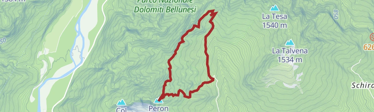
Open route Consorzio Operatori Turistici Alleghe - CaprileRidges of Monte Peron
A steep ridge round from Pian de Fraina by the San Giorgio chapel to the Punta di San Giorgio, with a short cabled step, above the Cordevole.
- 4.6 km
- Distance
- 598 m
- Ascent
- 3 h 31 min
- Duration
- 17
- Check-ins
Open route CAI - BellunoSummit of Pala Alta
A steep climb from Pian de Fraina by the San Giorgio saddle to Pala Alta, with two short roped steps and a stony gully, above the Cordevole valley.
- 6.8 km
- Distance
- 1 033 m
- Ascent
- 5 h 56 min
- Duration
- 16
- Check-ins
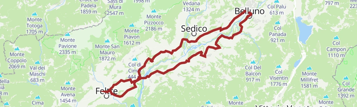
Open route CAI - BellunoAnello della Valbelluna
A long ring out of Belluno on the Piave's right bank, over the Villiago rise and on through Sedico, Santa Giustina and Busche.
- 78.2 km
- Distance
- 676 m
- Ascent
- 7 h 35 min
- Duration
- 2
- Check-ins
- Ufficio Turistico di Belluno - IAT 385 m
- Ufficio Turistico di Feltre 289 m
- Area Prior 273 m
- Ufficio Informazioni di Mel 353 m
Open route Dolomiti Bellunesi - The Mountains of VeniceAVDB - Stage 3: Rif. Bianchet - Miniere Val Imperina
The third stage of the Alta Via delle Dolomiti Bellunesi, down the Val Vescovà from the Bianchet hut past the abandoned hamlets of Roit and Noach to the Imperina mines.
- 19.5 km
- Distance
- 775 m
- Ascent
- 7 h 27 min
- Duration
- 12
- Check-ins
Open route Dolomiti Bellunesi - The Mountains of VeniceThe Val Belluna Ring: the places of biodiversity
A two-day e-bike circuit from Belluno by way of Feltre, Mel and Limana, calling at small farms and hamlets along the Piave.
- 77.7 km
- Distance
- 616 m
- Ascent
- 7 h 28 min
- Duration
- 2
- Check-ins
- Ufficio Turistico di Belluno - IAT 385 m
- Ufficio Turistico di Feltre 289 m
- Area Prior 273 m
- Ufficio Informazioni di Mel 353 m
Open route MONTAGNA BELLUNESEPercorso Ciclopedonale Antiche Rogge
A cycle and foot route along the old irrigation channels of the Sedico plain, between the Cordevole and the Piave.
- 16.3 km
- Distance
- 75 m
- Ascent
- 3 h 59 min
- Duration
Belluno Dolomites - BIKE TOUR OF VALBELLUNA
A long ride through the Valbelluna between Mel and Cesio, following the Piave valley below the Belluno Dolomites.
- 67.9 km
- Distance
- 705 m
- Ascent
- 6 h 41 min
- Duration
Open route The Land of VeniceCamolino Loop
A rolling ride through the villages of the Val Belluna, from Gron up to Paderno and back by Santa Giustina and Bribano, past working farms.
- 26.9 km
- Distance
- 215 m
- Ascent
- 2 h 36 min
- Duration
Open route MONTAGNA BELLUNESE
No routes of this kind in Sedico yet.
The region's own picks

Featured route
AVDB - Stage 2: Rif. Pramperet - Rif. Bianchet
A solitary stage through the hanging Van de Zità valleys and over high passes to Pian de Fontana and Val Vescovà, under the Schiara.
Planning a trip to Sedico?
Everything else Veneto has, in one place


Take Sedico with you into the mountains
Every route on this page with 3D terrain, GPX navigation and offline maps — including the valleys with no signal.
Data sources
- Official website: dolomitiprealpi.it ↗
- Routes and highlights: Dolomitiprealpi, Dolomiti Bellunesi - The Mountains of Venice, Cortina Marketing Se.Am., CAI - Belluno, MONTAGNA BELLUNESE, Consorzio Operatori Turistici Alleghe - Caprile, The Land of Venice
- Published as open data by the tourist boards named above.
- Region summary generated from the board's own material.
