
Curated by APT Valsugana e Lagorai
Scurelle
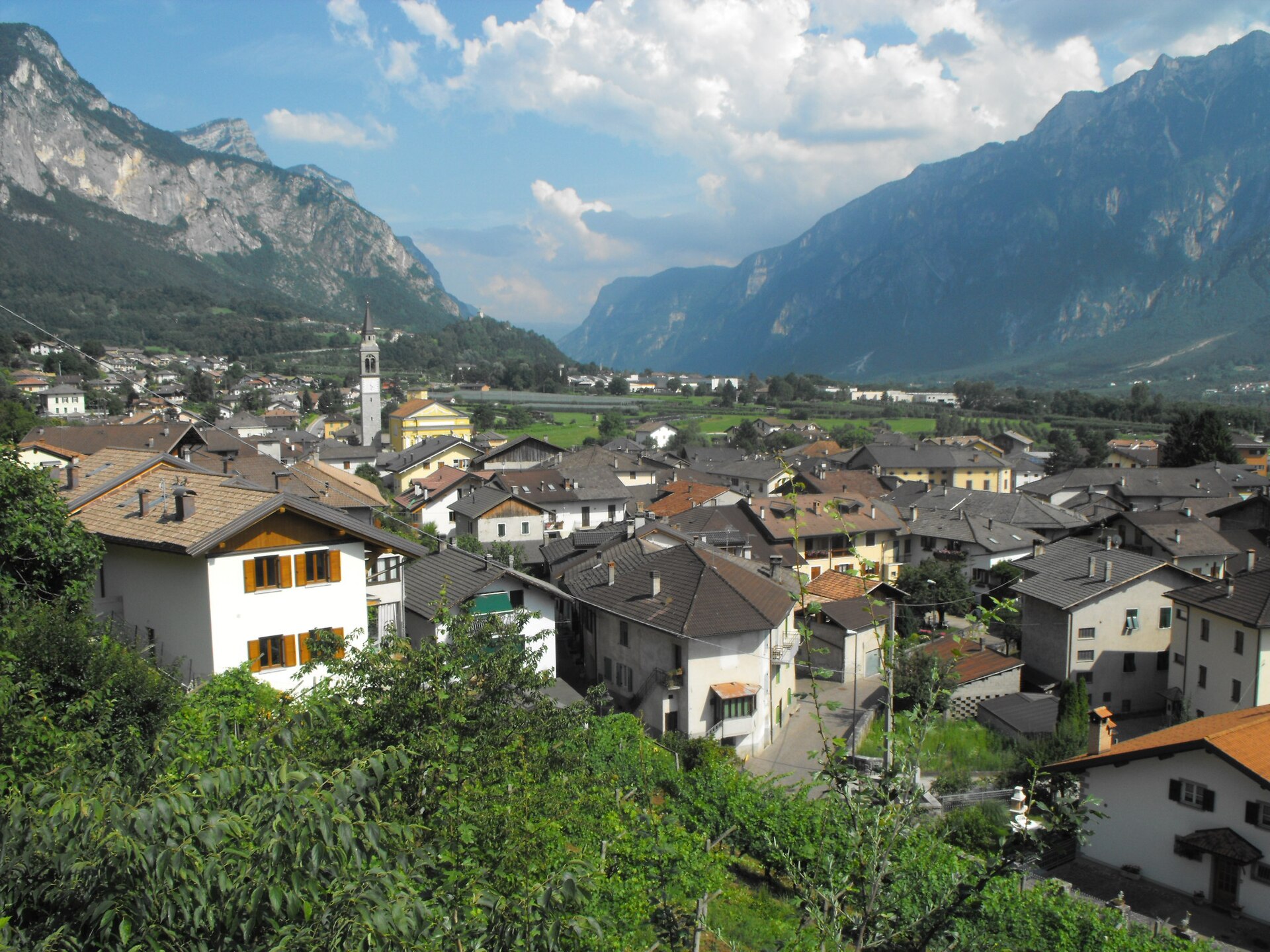
A Valsugana village on the Brenta below the Lagorai foothills, at the mouth of the Val Campelle.
Photo: CristianNX · CC BY-SA 4.0 licence
- 33Routes
- Featured summit · Grünbergspitze
Routes
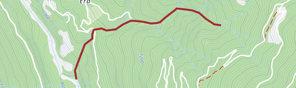
Torrente Maso B
A flat riverside stretch along the Maso torrent at Scurelle in the Valsugana.
- 6.0 km
- Distance
- 0 m
- Ascent
- 1 h 55 min
- Duration
- 22
- Check-ins
Open route Trentino FishingHiking trail - The 5 Croci Pass
A climb from Val Campelle to the Passo Cinque Croci, worth doing in any season: rhododendrons in summer, grass and larch turning red from September.
- 8.4 km
- Distance
- 564 m
- Ascent
- 3 h 47 min
- Duration
- 104
- Check-ins
 Grünbergspitze 1 976 m
 Rifugio Malga Consèria 1 848 m
- Bivacco Rifugio Consèria 1 824 m
 Passo Cinque Croci 2 023 m
- Malga Conseria 1 821 m
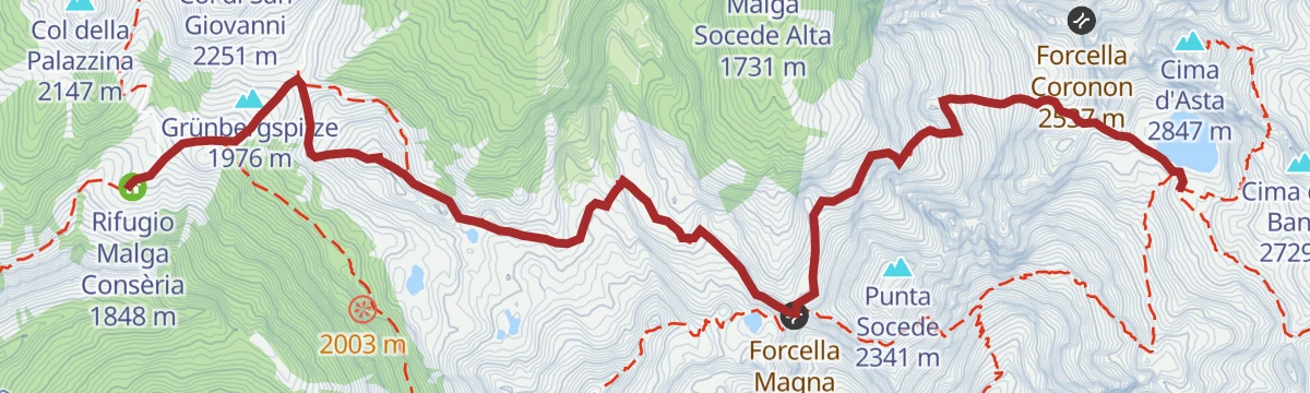
Open route APT Valsugana e LagoraiAlpine tour - Alta Via del Granito
A three-day high route on old paths and wartime mule tracks in the Lagorai, with two huts to sleep in, shepherds' cabins and summer pasture along the way.
- 28.7 km
- Distance
- 2 405 m
- Ascent
- 15 h 20 min
- Duration
- 271
- Check-ins
- Cima Lasteati 2 408 m
- Rifugio Malga Sorgazza 1 450 m
- Rifugio Cima d'Asta Ottone Brentari 2 476 m
 Bacino di Sorgazza 1 433 m
- Bivacco Caldenave 1 800 m
- Malga Sorgazza 1 453 m
- +11
Open route APT Valsugana e LagoraiSki mountaineering - Cima Nassere
A ski tour from Val Campelle up the Nassere basin to the Cima Nassere, on open slopes at the edge of the Lagorai.
- 10.5 km
- Distance
- 759 m
- Ascent
- 757 m
- Descent
- 3 h 33 min
- Duration
- 16
- Check-ins
Open route APT Valsugana e LagoraiMTB - Tour of the Val Campelle 2347
A ride up the Val Campelle on dirt roads to the malghe at the head of the valley, with a stop at Rifugio Malga Consèria.
- 18.9 km
- Distance
- 761 m
- Ascent
- 2 h 24 min
- Duration
- 111
- Check-ins
- Rifugio Malga Consèria 1 848 m
- Bivacco Rifugio Consèria 1 824 m
- Malga Conseria 1 821 m
- Rifugio Carlettini 1 367 m
- Malga Nassere 1 763 m
- Malga Cenon di sotto 1 334 m
- +1
Open route APT Valsugana e LagoraiRoadbike - Coppa d'Oro Grand Prix of the Sports Directors
A long road course through the Valsugana over the Sella di Vignola and past the lakeside hotels, run each year for the Allievi category.
- 87.0 km
- Distance
- 1 254 m
- Ascent
- 8 h 54 min
- Duration
- 38
- Check-ins
- Parc Hotel Du Lac 454 m
- Al Faro 453 m
- Meridiana 455 m
- Sella di Vignola 557 m
- Lagorai Valsugana Orientale 383 m
- APT Valsugana 386 m
Open route APT Valsugana e LagoraiNordic walking - Water Tour
A circuit in Val Campelle beside the Maso stream to the Malga Casarina dairy, where cheese is made and sold, mostly on dirt roads through spruce wood.
- 4.8 km
- Distance
- 174 m
- Ascent
- 1 h 33 min
- Duration
- 19
- Check-ins
Open route APT Valsugana e LagoraiTrekking - Sentiero della Memoria
A climb to the Passo Cinque Croci, start of a remembrance route with boards on the war years and a viewpoint that names the surrounding Lagorai peaks.
- 9.5 km
- Distance
- 728 m
- Ascent
- 4 h 43 min
- Duration
- 104
- Check-ins
- Grünbergspitze 1 976 m
- Rifugio Malga Consèria 1 848 m
- Bivacco Rifugio Consèria 1 824 m
- Passo Cinque Croci 2 023 m
- Malga Conseria 1 821 m
Open route APT Valsugana e LagoraiTrekking
A ring traverse of the granite island formed by the Cima d'Asta and the Cime di Rava, an outlier within the Lagorai chain.
- 28.7 km
- Distance
- 2 402 m
- Ascent
- 15 h 19 min
- Duration
- 271
- Check-ins
Roadbike - Castelnuovo - Val Campelle
A climb from Castelnuovo into the Val Campelle in the Lagorai, past the Brentana waterfall.
- 19.6 km
- Distance
- 1 248 m
- Ascent
- 2 h 31 min
- Duration
- 37
- Check-ins
- Rifugio Carlettini 1 367 m
- Rifugio Crucolo 1 105 m
- Malga Cenon di sotto 1 334 m
- Casa La Rudoletta 1 342 m
Open route APT Valsugana e LagoraiWalk - The water's path (Sentiero dell'acqua)
An easy loop from the Carlettini hut along the Maso torrent, with picnic spots on the meadows at Ponte Conseria and a return on the Nomadi path.
- 3.6 km
- Distance
- 110 m
- Ascent
- 1 h 7 min
- Duration
- 16
- Check-ins
Open route APT Valsugana e LagoraiHiking trail - The Nassere Lake along the Nomadi path
A climb on the Nomadi path through old stone pine stands to the Nassere lake, high in the Lagorai above Val Campelle.
- 10.7 km
- Distance
- 827 m
- Ascent
- 5 h 22 min
- Duration
- 71
- Check-ins
- Bivacco Caldenave 1 800 m
- Rifugio Carlettini 1 367 m
- Malga Nassere 1 763 m
- Lago Nassere (Busa del Lago) 2 065 m
- Baito Lastei 2 010 m
Open route APT Valsugana e LagoraiHiking trail - Monte Cengello
A long day from Val Campelle to Monte Cengello, the rock summit standing over the Passo Cinque Croci in the Lagorai.
- 19.1 km
- Distance
- 1 268 m
- Ascent
- 8 h 34 min
- Duration
- 190
- Check-ins
- Grünbergspitze 1 976 m
- Cima Lasteati 2 408 m
- Rifugio Malga Consèria 1 848 m
- Bivacco Rifugio Consèria 1 824 m
- Passo Cinque Croci 2 023 m
- Bivacco Caldenave 1 800 m
- +6
Open route APT Valsugana e LagoraiRoadbike - Coppa Rosa Gran Premio dei Direttori Sportivi
A road racing circuit around Borgo Valsugana, used by the Veloce Club Borgo for its junior women's event in the Valsugana.
- 23.7 km
- Distance
- 331 m
- Ascent
- 2 h 25 min
- Duration
- 6
- Check-ins
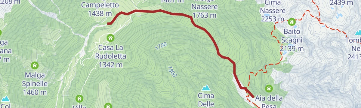
Open route APT Valsugana e LagoraiNordic Walking - Conseria Tour
An out-and-back on the forest road from the Conseria bridge to the Nassere bivouac, which sits in open grass among the stone pines locals call zirmi.
- 3.9 km
- Distance
- 295 m
- Ascent
- 1 h 25 min
- Duration
- 13
- Check-ins
Open route APT Valsugana e LagoraiHike to Rifugio Malga Conseria
A short climb up Val Campelle to the Rifugio Malga Conseria, which stands on open pasture under the Passo Cinque Croci and Monte Cengello.
- 4.2 km
- Distance
- 380 m
- Ascent
- 2 h 22 min
- Duration
- 70
- Check-ins
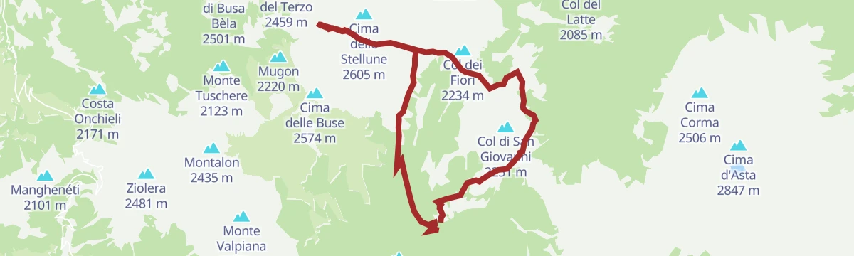
Open route APT Valsugana e LagoraiSentiero della Pace: Variante Lagorai 4 (Rifugio Malga Conseria to Rifugio Brentari)
A stage of the peace trail from Malga Conseria over the Passo Cinque Croci to the Rifugio Brentari, with a steep detour to the trench lines on Cima Socede.
- 8.0 km
- Distance
- 974 m
- Ascent
- 4 h 36 min
- Duration
- 169
- Check-ins
- Grünbergspitze 1 976 m
- Rifugio Cima d'Asta Ottone Brentari 2 476 m
- Rifugio Malga Consèria 1 848 m
- Bivacco Rifugio Consèria 1 824 m
- Passo Cinque Croci 2 023 m
- Malga Conseria 1 821 m
- +2
Open route APT Valsugana e LagoraiFiume Brenta Z alta 2
A flat riverbank stretch along the Brenta near Scurelle, on the floor of the Valsugana.
- 1.2 km
- Distance
- 0 m
- Ascent
- 18 min
- Duration
Hikingtrail - Malghe and Zirmi path
An old herders' link from the Malga Casarina pastures to Malga Caldenave, now a refuge, running through stands of ancient stone pine known locally as zirmi.
- 7.5 km
- Distance
- 434 m
- Ascent
- 3 h 3 min
- Duration
- 39
- Check-ins
Open route APT Valsugana e LagoraiHiking trail - Laghetti delle Buse Basse or di Rocco
A long route into the emptiest part of the Lagorai, past abandoned herders' shelters to the small lakes of the Buse Basse.
- 16.2 km
- Distance
- 1 053 m
- Ascent
- 7 h 8 min
- Duration
- 127
- Check-ins
- Rifugio Malga Consèria 1 848 m
- Bivacco Rifugio Consèria 1 824 m
- Passo Cinque Croci 2 023 m
- Malga Conseria 1 821 m
- Forcella Valsorda 2 256 m
- Passo Val Cion 2 076 m
- +3
Open route APT Valsugana e LagoraiRio Brentana E
A very short, level stroll to the Brentana waterfall above Scurelle in the Valsugana.
- 1.5 km
- Distance
- 0 m
- Ascent
- 1 h 20 min
- Duration
Open route Trentino FishingHike from Rifugio Carlettini to Rifugio Caldenave
A hut-to-hut walk in upper Val Campelle, from the Rifugio Carlettini up to the Rifugio Caldenave beneath the Cima d'Asta peaks.
- 6.0 km
- Distance
- 443 m
- Ascent
- 2 h 55 min
- Duration
- 23
- Check-ins
Open route APT Valsugana e LagoraiPeace Trail 28: From Campestrini to Rifugio Malga Conseria
A long stage from Campestrini, first on a cobbled mule track and then on shaded forest path, up to the Malga Conseria hut in the Lagorai.
- 21.3 km
- Distance
- 1 677 m
- Ascent
- 8 h 51 min
- Duration
- 102
- Check-ins
- Col Scandolera 1 421 m
- Rifugio Malga Consèria 1 848 m
- Bivacco Rifugio Consèria 1 824 m
- Malga Conseria 1 821 m
- Rifugio Carlettini 1 367 m
- Malga Cenon di sotto 1 334 m
- +5
Open route APT Valsugana e LagoraiRio Caserine G
A level route along the Rio Caserine, following the stream on the valley floor near Scurelle.
- 3.5 km
- Distance
- 0 m
- Ascent
- 1 h 19 min
- Duration
Open route Trentino FishingHike to Rifugio Caldenave Claudio e Renzo
A climb up the Caldenave valley to the refuge on its pasture floor, ringed by the rocky spurs of the Cima d'Asta group.
- 5.9 km
- Distance
- 430 m
- Ascent
- 2 h 49 min
- Duration
- 23
- Check-ins
Open route APT Valsugana e LagoraiHiking trail - Croz di Primalunetta
A long ascent to the Croz di Primalunetta and Monte Cenon, where the restored Italian strongpoint held by the Monte Rosa battalion is explained on boards.
- 14.6 km
- Distance
- 1 086 m
- Ascent
- 7 h 7 min
- Duration
- 31
- Check-ins
- Croz di Primalunetta 2 304 m
- Monte Cenon 2 278 m
- Forcella Caldenave 2 191 m
- Malga Primalunetta 1 791 m
- Bivacco Tadina 2 280 m
- Laghetto di Primalunetta 2 143 m
- +1
Open route APT Valsugana e LagoraiRio Valsorda M1
A short, steep line up the Valsorda stream on the slopes above Scurelle in the Valsugana.
- 2.4 km
- Distance
- 308 m
- Ascent
- 1 h 15 min
- Duration
Open route Trentino FishingWalk - The wonderful Caldenave valley
A walk up the Caldenave along the droving route herders used each summer to bring cattle onto the Val Campelle pastures.
- 6.9 km
- Distance
- 420 m
- Ascent
- 2 h 54 min
- Duration
- 23
- Check-ins
Open route APT Valsugana e LagoraiTorrente Maso C
A short steep section above the Maso torrent in Val Campelle, gaining height quickly from the streambed.
- 2.1 km
- Distance
- 223 m
- Ascent
- 56 min
- Duration
Open route Trentino FishingMaso di Spinelle I1
A level route through the fields and farmsteads around Maso di Spinelle on the Tesino plateau.
- 9.8 km
- Distance
- 28 m
- Ascent
- 3 h 40 min
- Duration
- 22
- Check-ins
Open route Trentino FishingHiking trail - The lake of Forcella di Montalon
A route into the quiet Lagorai to the small lake at the Forcella di Montalon, passing three disused herders' huts kept as heritage.
- 10.4 km
- Distance
- 798 m
- Ascent
- 5 h 10 min
- Duration
- 13
- Check-ins
Open route APT Valsugana e LagoraiTorrente Maso A
A long stretch following the Maso torrent up Val Campelle, gaining height steadily along the streambed.
- 9.1 km
- Distance
- 784 m
- Ascent
- 3 h 51 min
- Duration
Open route Trentino FishingTorrente Maso I
A streamside route up the Maso in Val Campelle, rising towards the upper pastures of the Lagorai.
- 8.8 km
- Distance
- 743 m
- Ascent
- 3 h 43 min
- Duration
Open route Trentino Fishing









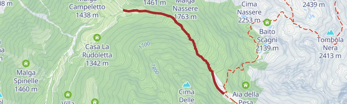


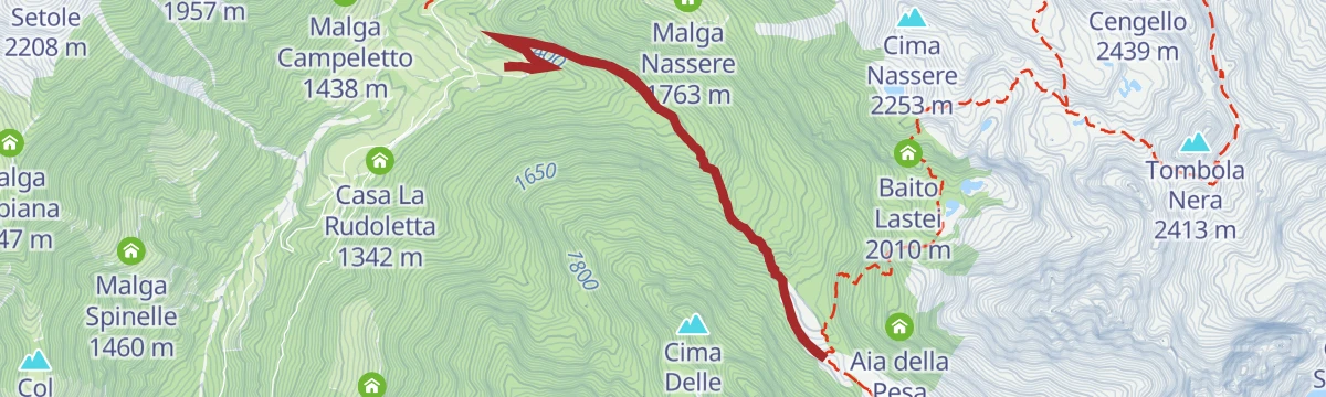


No routes of this kind in Scurelle yet.
The region's own picks

Featured route
Torrente Maso B
A flat riverside stretch along the Maso torrent at Scurelle in the Valsugana.
Planning a trip to Scurelle?
Everything else Trentino-Alto Adige/Südtirol has, in one place


Take Scurelle with you into the mountains
Every route on this page with 3D terrain, GPX navigation and offline maps — including the valleys with no signal.
Data sources
- Official website: visitvalsugana.it ↗
- Routes and highlights: APT Valsugana e Lagorai, Trentino Fishing, Valsugana, Visit Trentino
- Published as open data by the tourist boards named above.
- Region summary generated from the board's own material.
