
 Cable car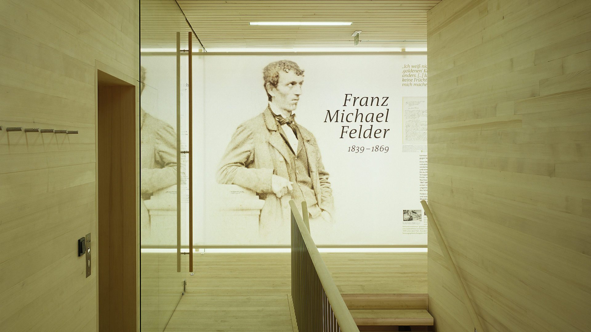
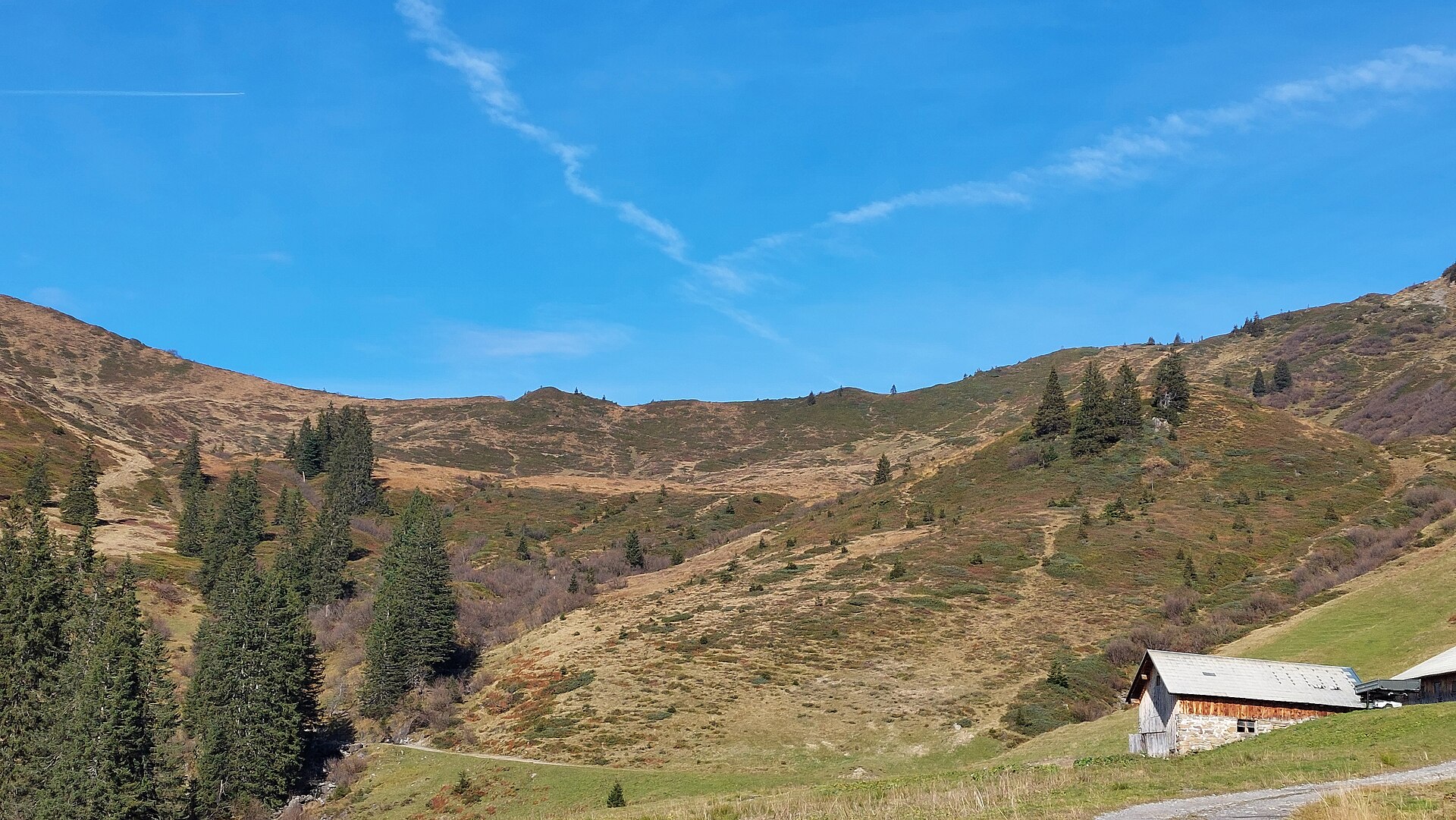
 Mountain pass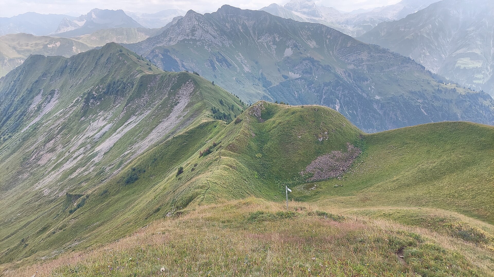
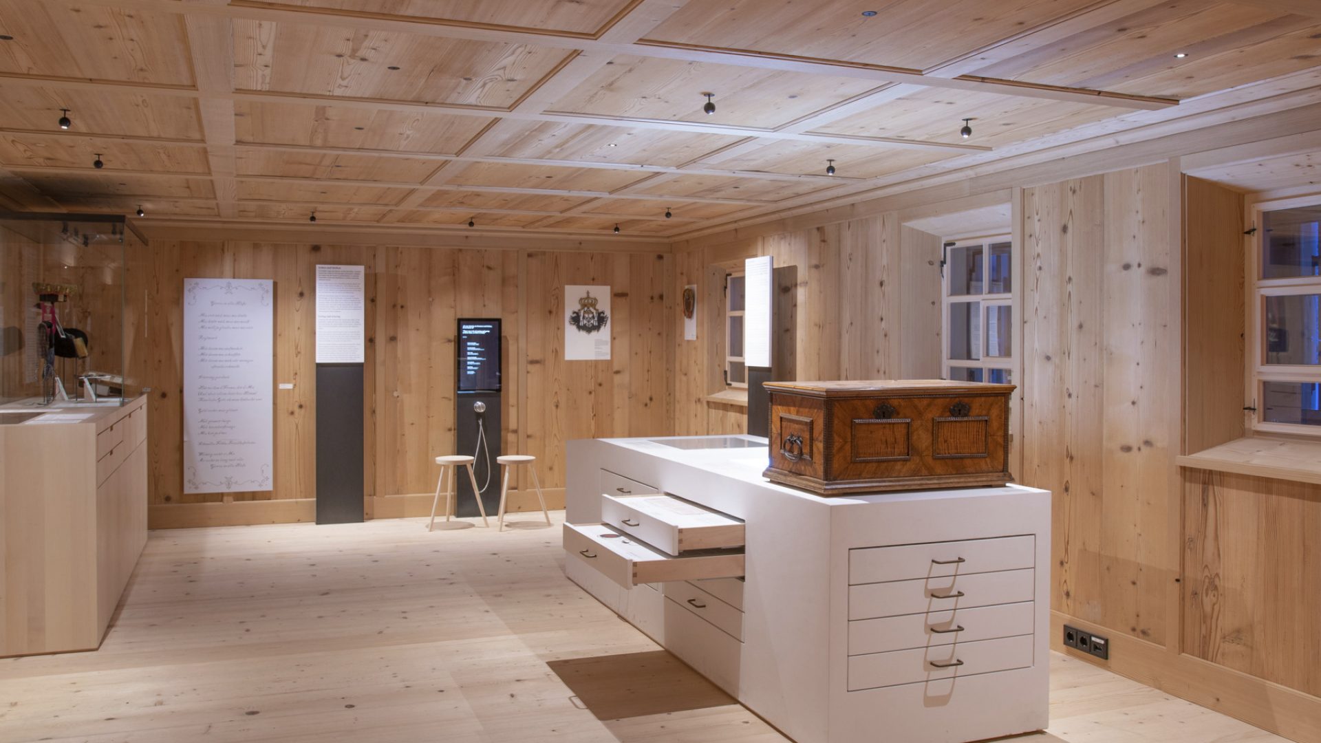
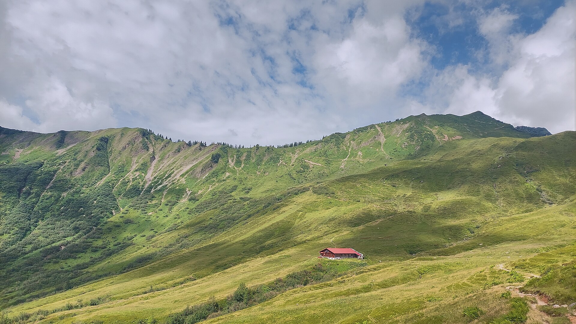
 Mountain hut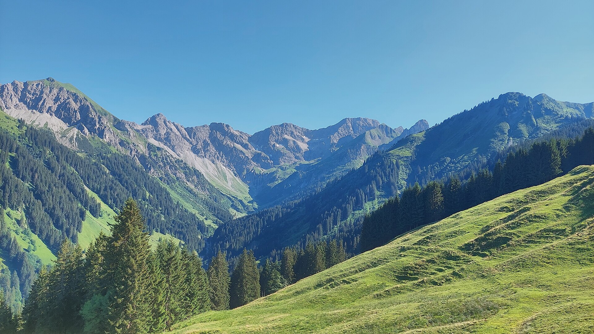









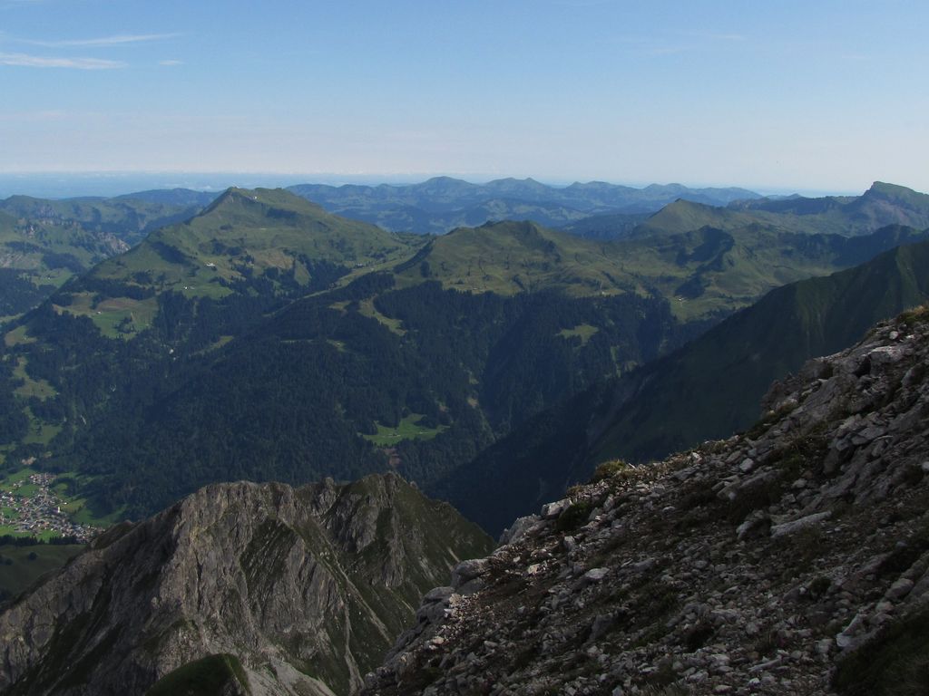
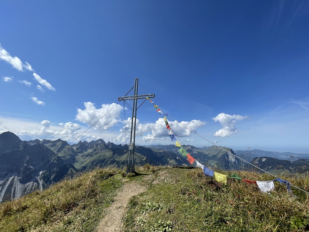
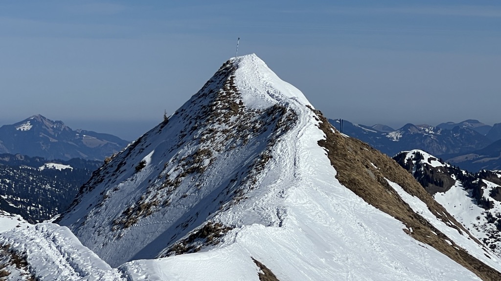
 Summit
Hochkünzelspitze
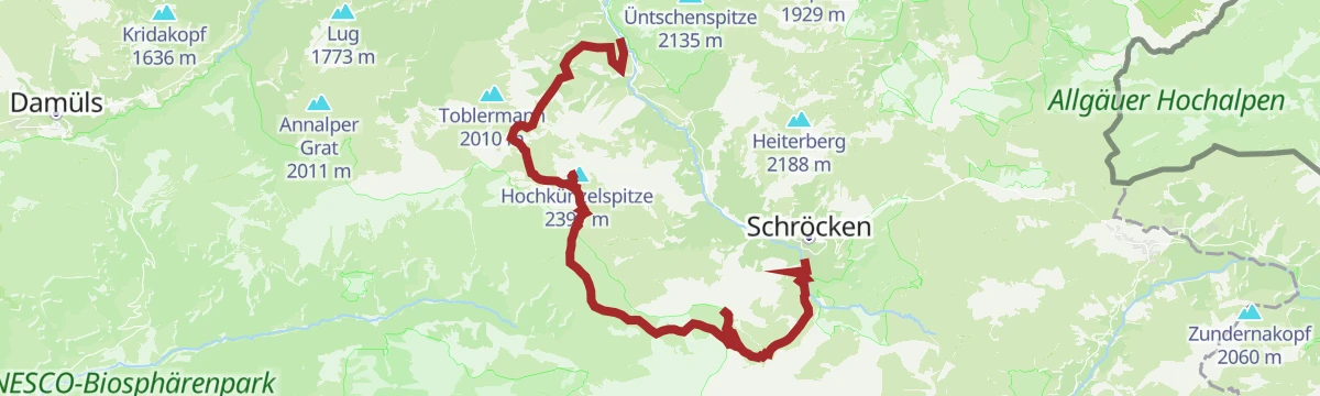
via Warth | Schoppernau | Gipfeltour Hochkünzelspitze und Hochberg mit Übernachtung auf der Biberacher Hütte
Curated by Vorarlberg Tourismus
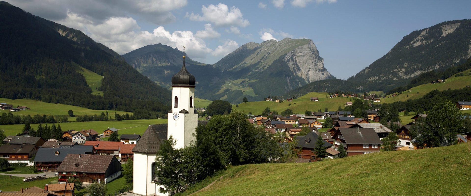
In the upper valley of the Bregenzer Ach at about 850 m, the last village of the Hinterwald before the Hochtannberg, with the Diedamskopf lifts above.
10 from neighbouring places
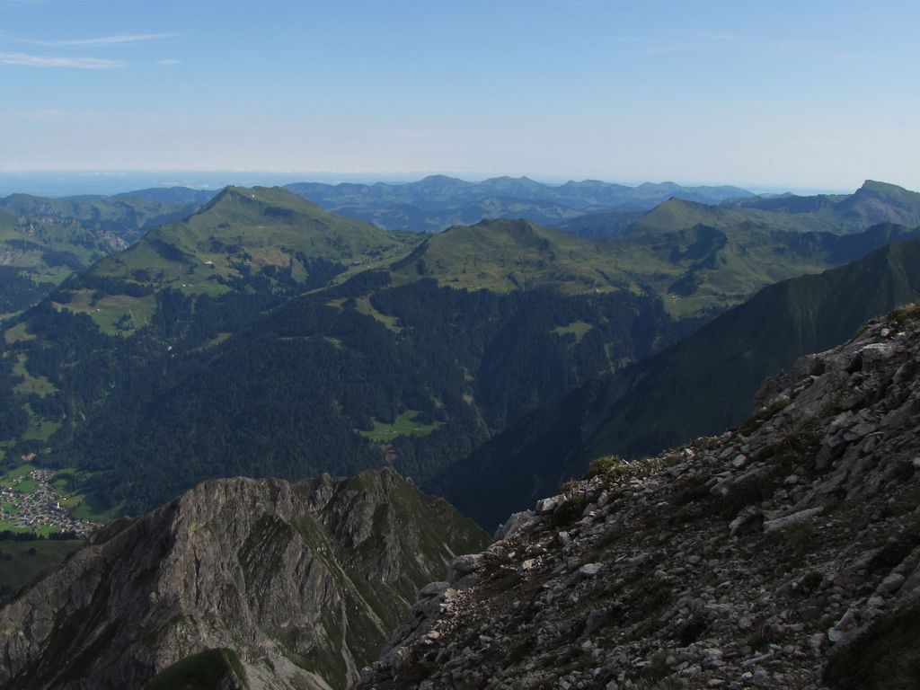
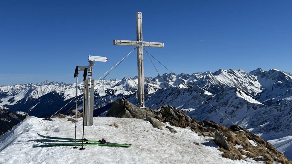
A 2,397 m peak of the Lechquellen mountains, one of the highest in the Bregenzerwald and a known ski objective.
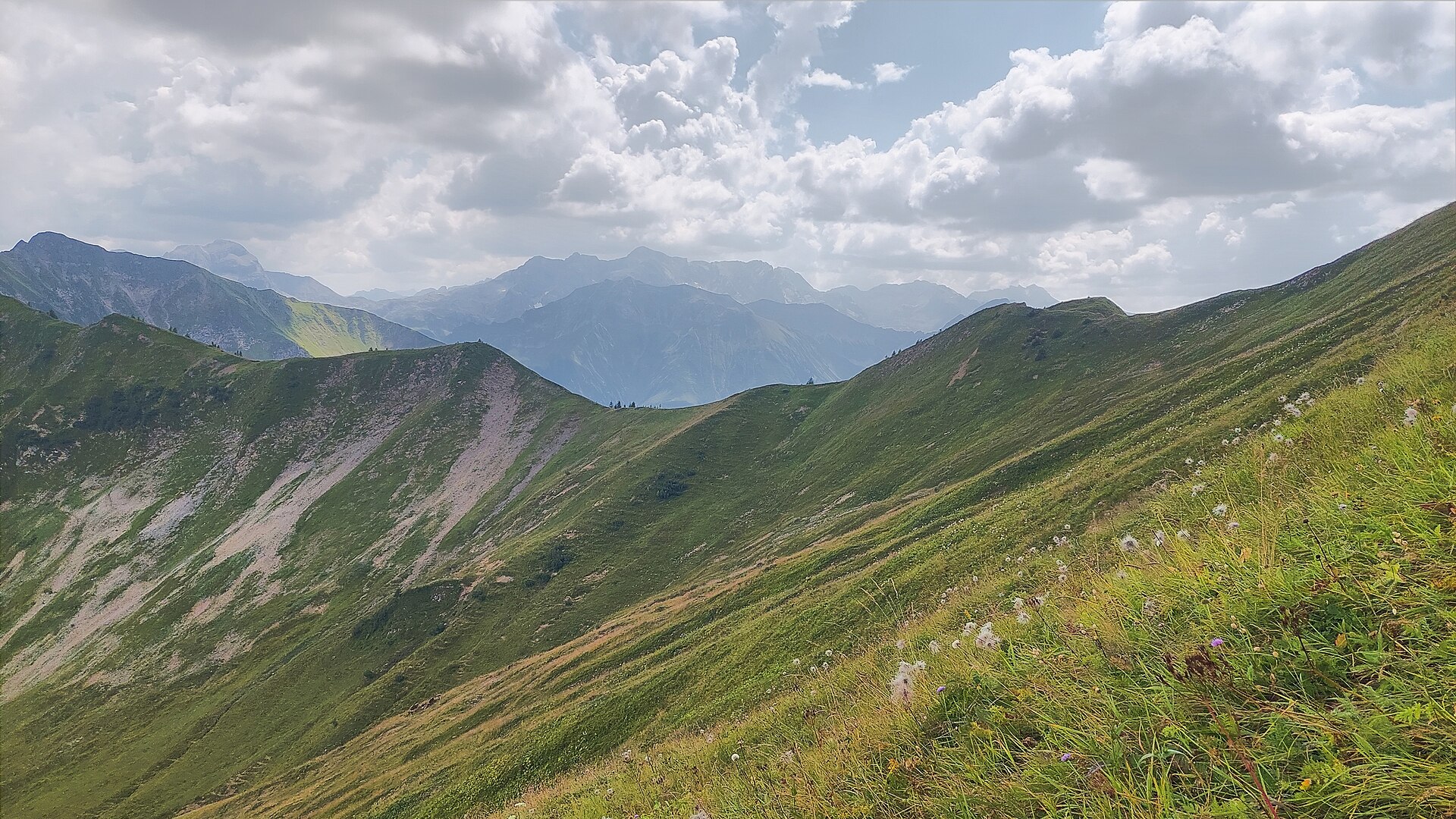
A 2,135 m steep-grass peak of Rhenodanubian flysch, its flanks falling as much as 1,000 m, with paths to the top.
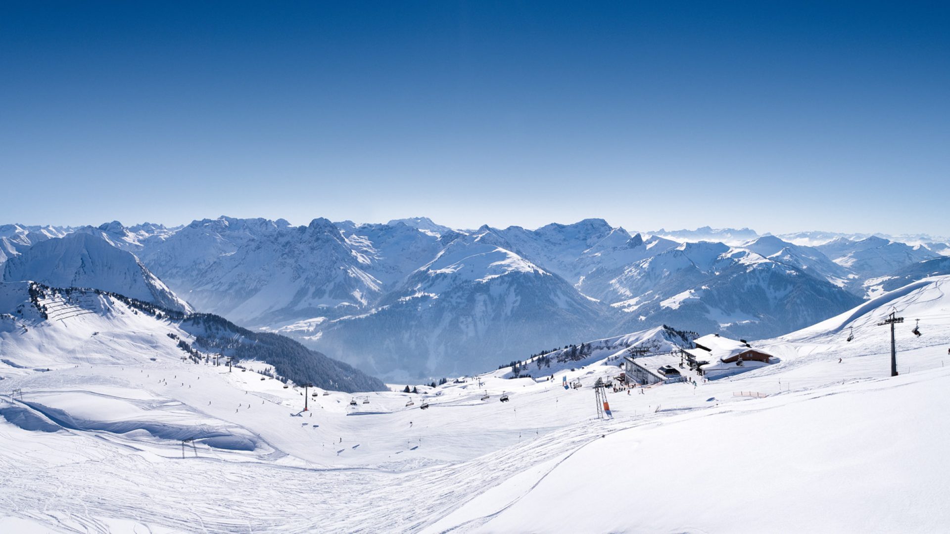
Natural-snow pistes on the 2,090 m Diedamskopf, used as readily by families as by seasoned skiers.
A museum to the farmer, writer and social reformer whose novels recorded life in the Bregenzerwald of his day.
A grassed saddle at 1,848 m north of the village, on the high ground below the Diedamskopf.
2.7 km away, in Mittelberg
A saddle at 2,054 m at the head of the Derratal, crossed on the ski tour to the Güntlespitze.
2.8 km away, in Mittelberg
A 2,092 m grass summit of flysch in the Allgäu Alps, in the chain that closes Baad to the west.
2.8 km away, in Mittelberg
A gap at 2,013 m on the ridge above the Derratal, close to the Güntlejoch on the valley's south-western rim.
3.7 km away, in Mittelberg
A pass at 1,854 m over the Allgäu Alps, joining the Bregenzerwald to the Kleinwalsertal.
4 km away, in Mittelberg
A 2,039 m mountain of the Allgäu Alps at the head of the Duratal, and a much-used ski objective from Baad.
4.1 km away, in Mittelberg
A 2,188 m summit of the Walsertal mountains, standing in the chain that closes the hamlet of Baad to the west.
4.3 km away, in Mittelberg
A 1,982 m secondary top of the Grünhorn above the Schwarzwassertal, reached on skis from the Ifen car park.
4.3 km away, in Au
A museum of the Baroque master builders of the Bregenzerwald, whose work reaches from Birnau to St Gallen and Ebersmünster.
4.4 km away, in Mittelberg
An alp at 1,678 m five kilometres west of the villages, on the high ground below the Starzeljoch.
4.7 km away, in Sonntag
A 2,262 m rock top about 5 km south-east of the village, at the far end of the same ridge.
Nothing of this kind in Schoppernau.
An easy round on made-up paths from the Diedamskopf mid-station, by the Breitenalpe to the staffed Alpe Mitteldiedams.
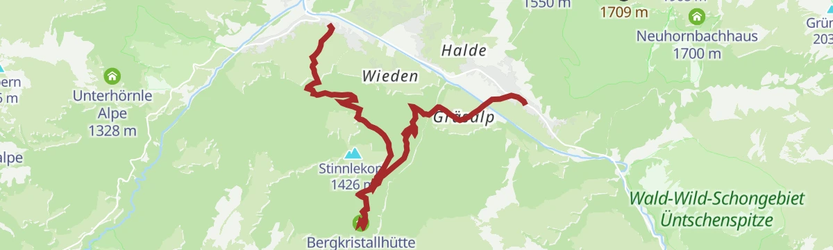
A short round from Schoppernau over the Dürrenbach to the Bergkristallhütte, coming back by the Tobelalpe.
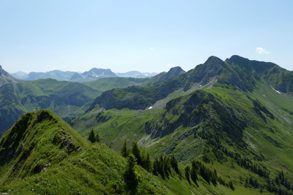
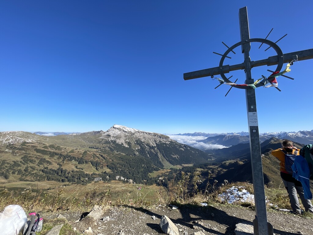
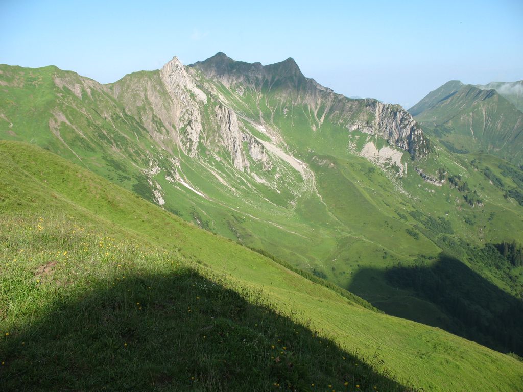
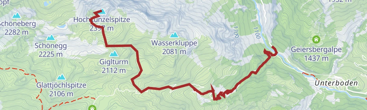
A two-day outing from Vorderhopfreben over the 2,397 m Hochkünzelspitze to a night at the Biberacher Hütte, then across the Fürggele to the Hochberg and down to Schröcken.
Güntlespitze from Hopfreben: 1,054 m of climbing in 3.4 km, topping out at 2,086 m.
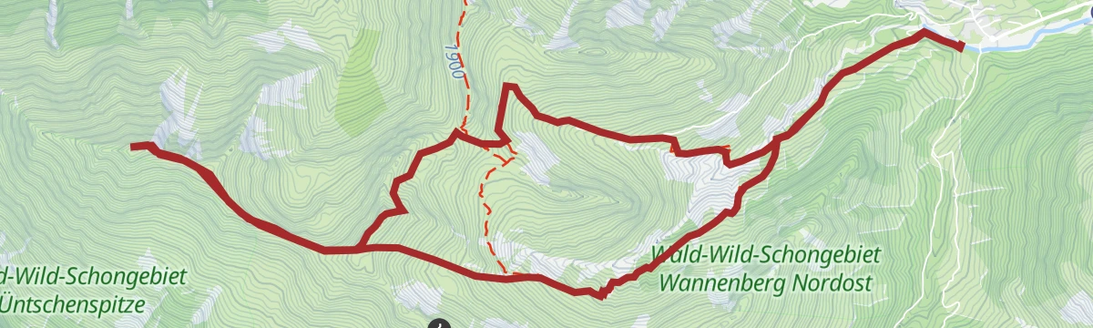
1,298 m on skis from Schoppernau to Üntschenspitze, 8.4 km with its high point at 2,111 m.
The pale, even slopes of the Hochalpe, visible from the road below and one of the best-known ski objectives here.
A huge bike-and-hike day around Schröcken, over the Mohnensattel and Salobersattel and past the Biberacher Hütte, with over 4,000 m of climbing.
A long road stage crossing the Arlberg, the Flexenpass and the Losenpass on the way from Tirol down to the shore of Lake Constance.
Through a quiet high valley to the Bergkristallhütte, which looks straight across at the Zitterklapfen, then down to Au.
The first day of a three-day hut walk through the Widderstein country of the Allgäu Alps.
Steinmandl from Schoppernau: 1,121 m of climbing in 6.9 km, topping out at 1,978 m.
A distinct ski mountain with descents on both the south and north sides, entered by the summer path above the inn.
The two-day version, opening with a ride to the Schadonapass and Biberacher Hütte and three tops taken on foot from the Braunarlscharte.
A ride along the Bregenzerache that can be combined with the R1 cycle bus, past old Wälder houses and new timber buildings.
A loop climbing from the valley floor at Schoppernau to the Alpe Hinterüntschen, just above 1,700 m.
From the Diedamskopf top station over the Kreuzle, an old pass into the Kleinwalsertal, to the Schwarzwasserhütte.
Hochkünzelspitze from Vorderhopfreben: 1,473 m of climbing in 6.7 km, topping out at 2,378 m.
A long ski tour onto one of the highest summits of the Bregenzerwald, starting from the main road at Hopfreben.
Third stage, climbing to the Schadonapass and the Biberacher Hütte, then walking three summits before the descent past the Schadonaalpe.
A steep alp road up to the Diedamskopf top station, returning by the Neuhornbachhaus and the Hornbach alps.
Through the Schalzbach vorsäß settlement with its huts and chapel, then up past the alps to the Toblermann.
A ski tour into the secluded Derratal from Baad, reached by the Walserbus, for experienced parties only.
A climb from Schröcken up to the Schadonapass, where the bike is parked for the walk out along the ridge above it.
A ride out of Schoppernau to the foot of the Falzer Kopf, with the summit taken on foot at the end.
The long version of the Bergkristallhütte walk, taken by way of the Tobelalpe and ending down in Au.
The valley cycle route from Schoppernau down to Doren, following the Bregenzerache the whole way.
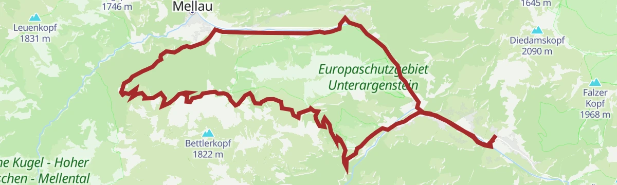
A full lap of the Kanisfluh on gravel, mixing the valley cycle path with higher, more open sections before Au.
No routes of this kind in Schoppernau yet.
Summit
via Warth | Schoppernau | Gipfeltour Hochkünzelspitze und Hochberg mit Übernachtung auf der Biberacher Hütte

Featured route
An easy round on made-up paths from the Diedamskopf mid-station, by the Breitenalpe to the staffed Alpe Mitteldiedams.
Everything else Vorarlberg has, in one place
Every route on this page with 3D terrain, GPX navigation and offline maps — including the valleys with no signal.


