
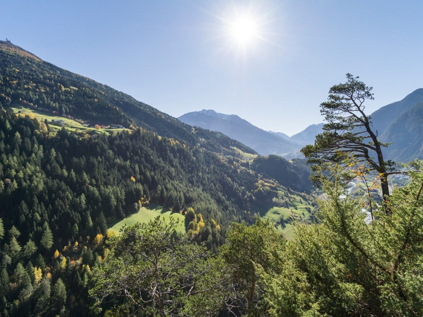
- 15Highlights
- 16Routes
Highlights
All 15 from neighbouring places
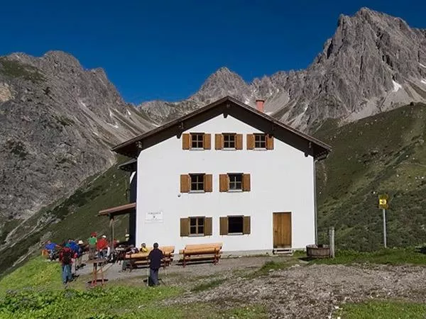
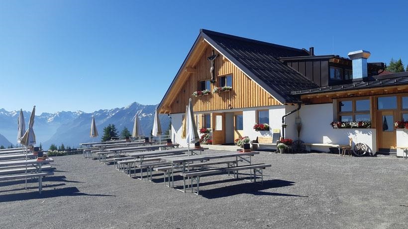
Steinseehütte 2.061 m
4.4 km away, in Zams
A refuge at 2,061 m near the Steinsee lake in the Lechtal Alps, a base for the surrounding climbing routes, reached from the Zams side.
Steinsee Klettersteig
4.4 km away, in Zams
A via ferrata near the Steinsee and the Steinseehütte in the Lechtal Alps above Zams, a protected route in high lake scenery.
Venetalm (1.994 m)
5.7 km away, in Wenns
An alpine pasture at 1,994 m on the Venet, the ridge separating the Pitztal from the Inn valley.
Imsterberger Venetalm
5.7 km away, in Wenns
An alpine pasture on the Venet slopes above Imsterberg, a summer refreshment stop for walkers in the Imst region.
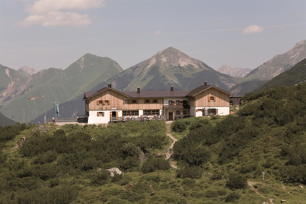
Hanauer Hütte
5.9 km away, in Imst
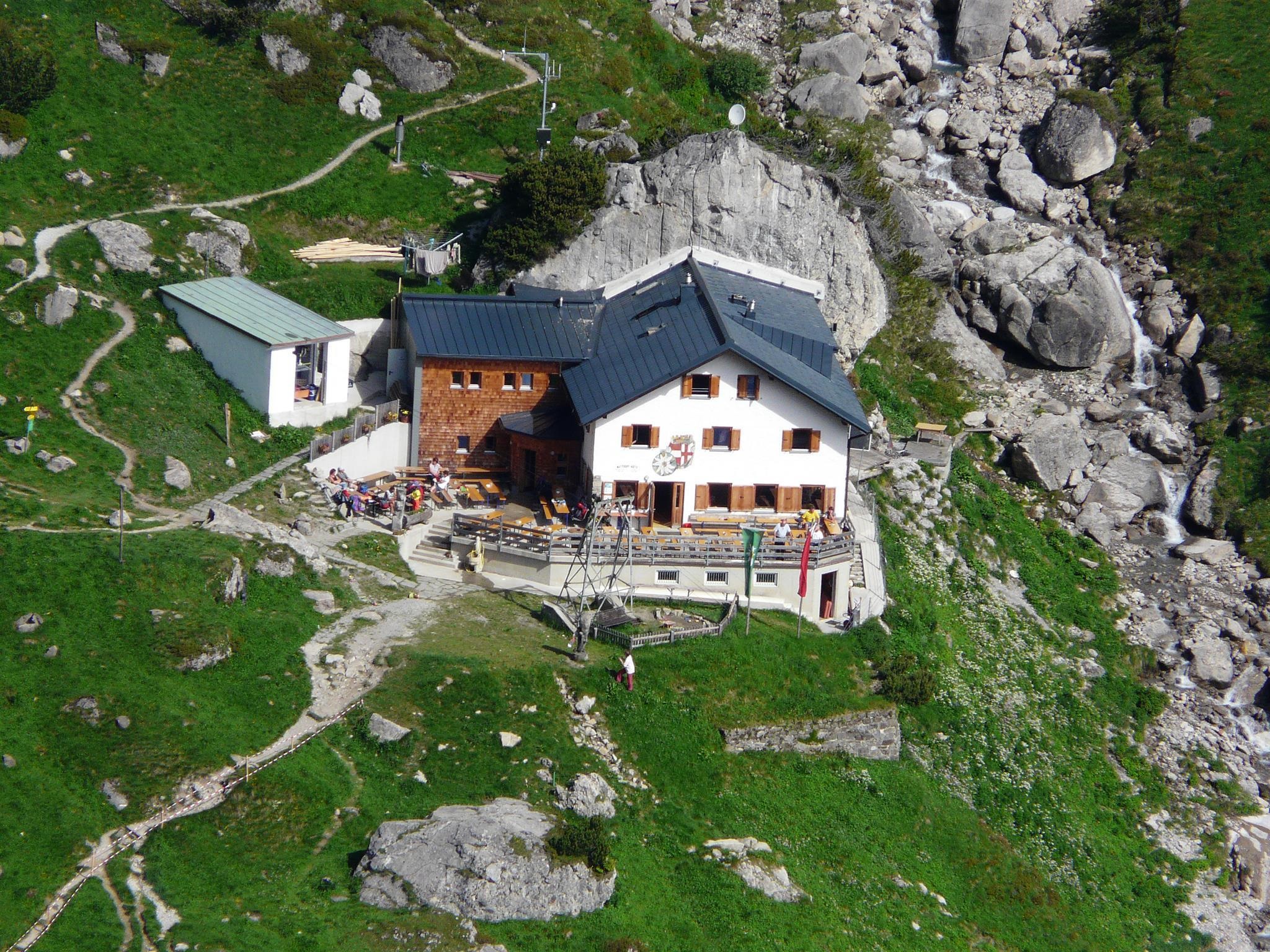
An alpine club hut in the Lechtal Alps above the Angerletal, a base for walks and climbs among the Dremel and Parzinn peaks.
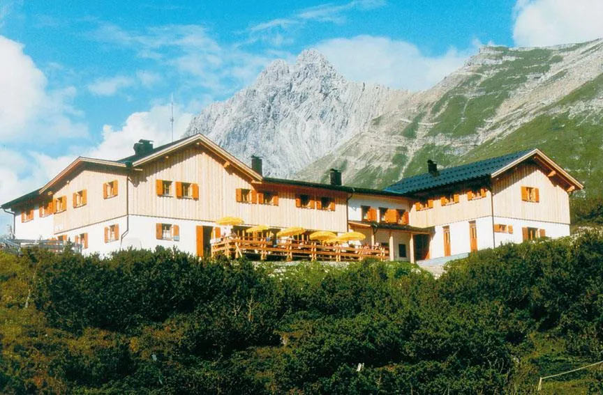
Hanauer Hütte 1.922 m
6 km away, in Imst
An alpine club refuge at 1,922 m above the Pfafflar area, a base for the rock summits and lake basins of the eastern Lechtal Alps.
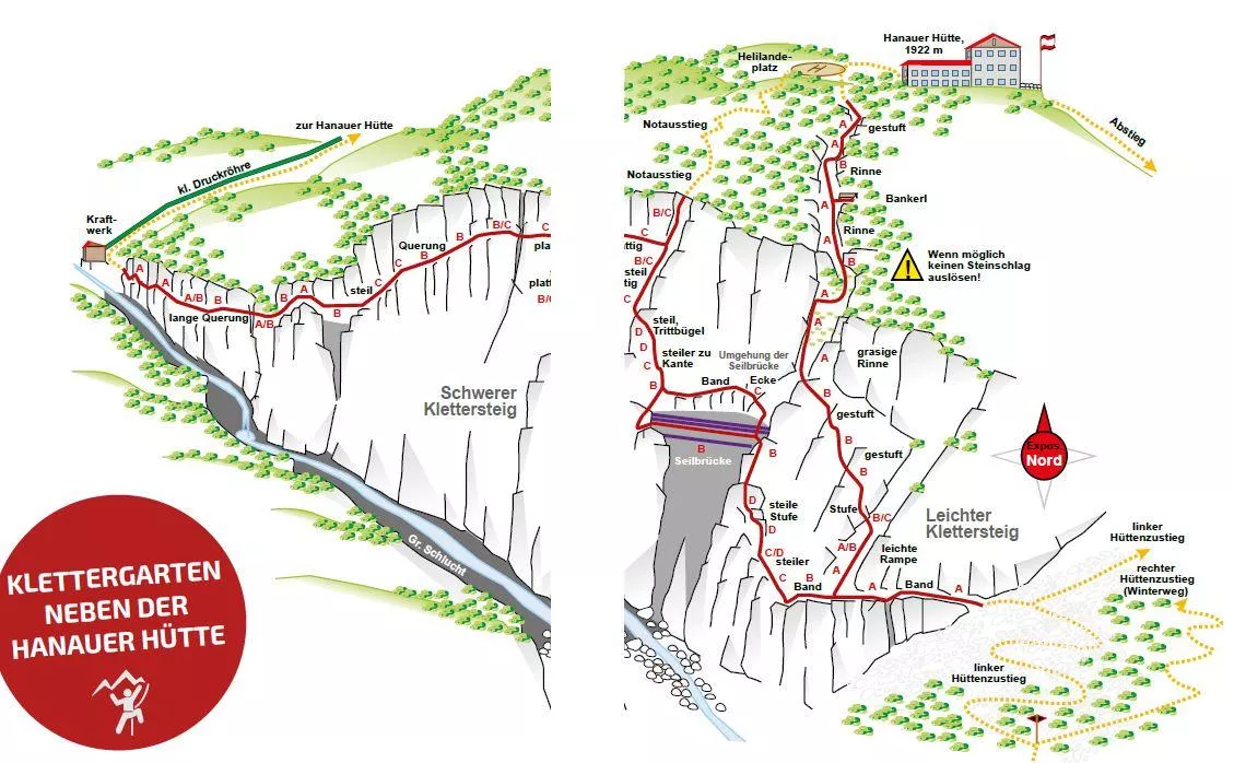
Hanauer Klettersteig 1.770 m
6 km away, in Imst
A via ferrata at about 1,770 m near the Hanauer Hütte above Boden in the Bschlabertal, a protected route in the Lechtal Alps.
Klettergarten Hanauer Hütte
6 km away, in Imst
A climbing garden beside the Hanauer Hütte in the Lechtal Alps above Pfafflar, with bolted routes a short walk from the hut.
UAlm
6.4 km away, in Imst
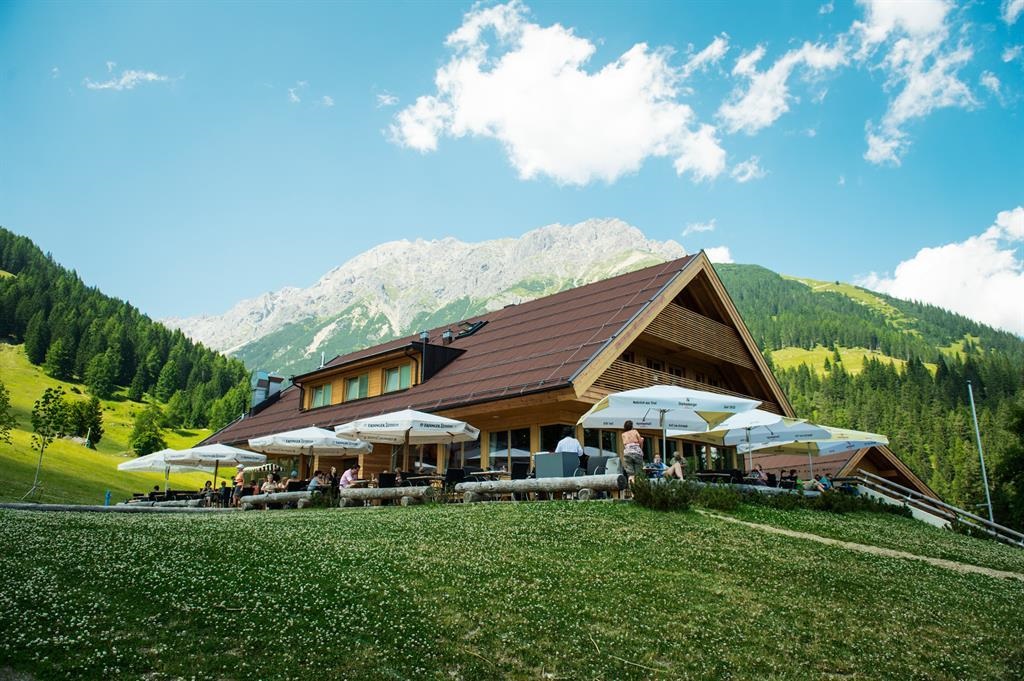
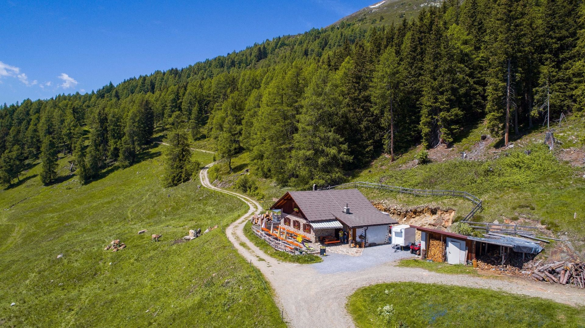
An easily reached pasture hut above Imst with a sun terrace, serving hut fare and offering simple overnight accommodation.
Muttekopfhütte
6.7 km away, in Imst
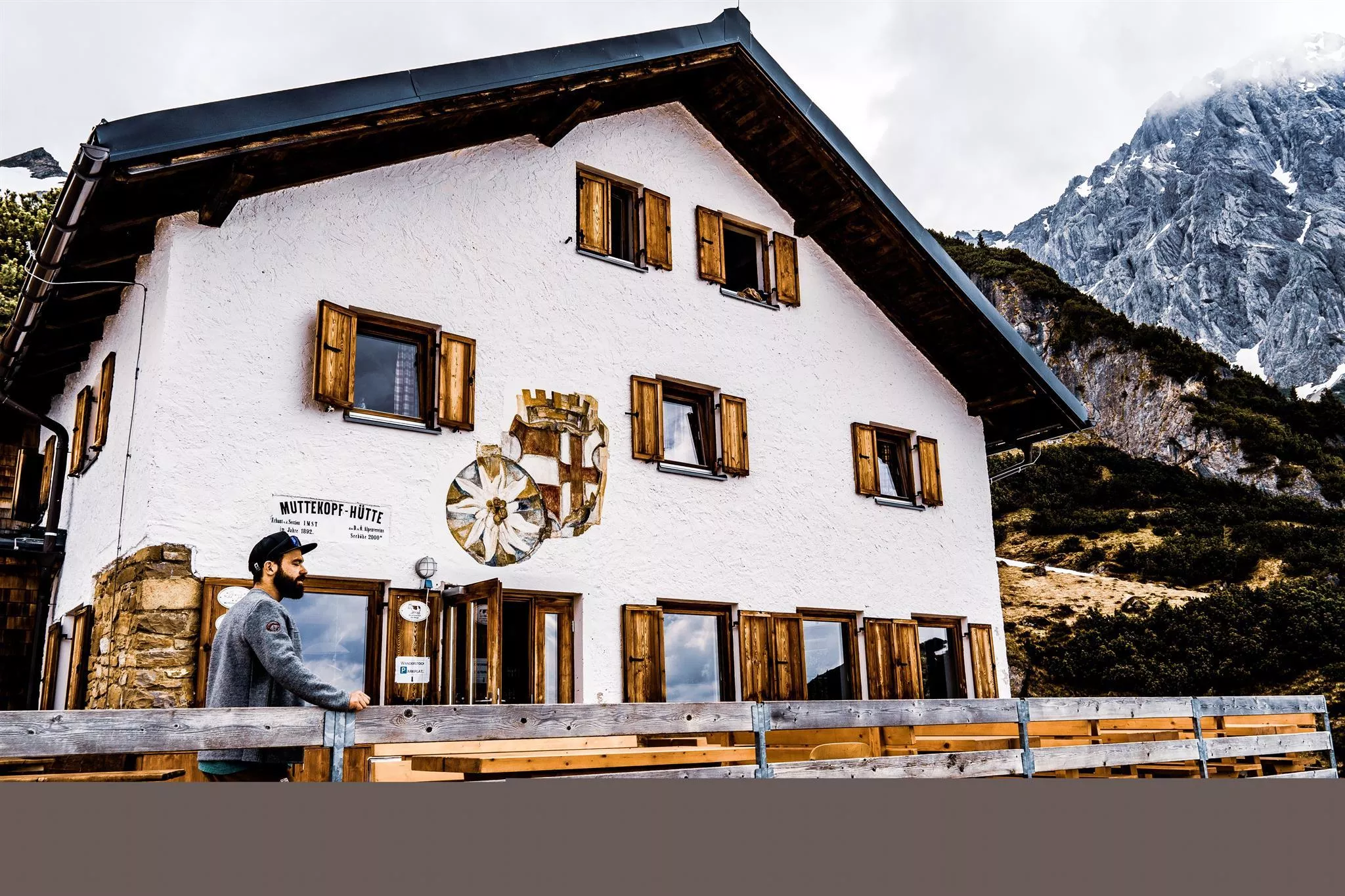
A mountain hut above Imst below the Muttekopf in the Lechtal Alps, offering meals and overnight beds for climbers and walkers.
Muttekopfhütte 1.934 m
6.7 km away, in Imst
An alpine club refuge at 1,934 m below the Muttekopf, a base for climbing and walking in the reddish rock scenery of the eastern Lechtal Alps.
Latschenhütte
6.9 km away, in Imst
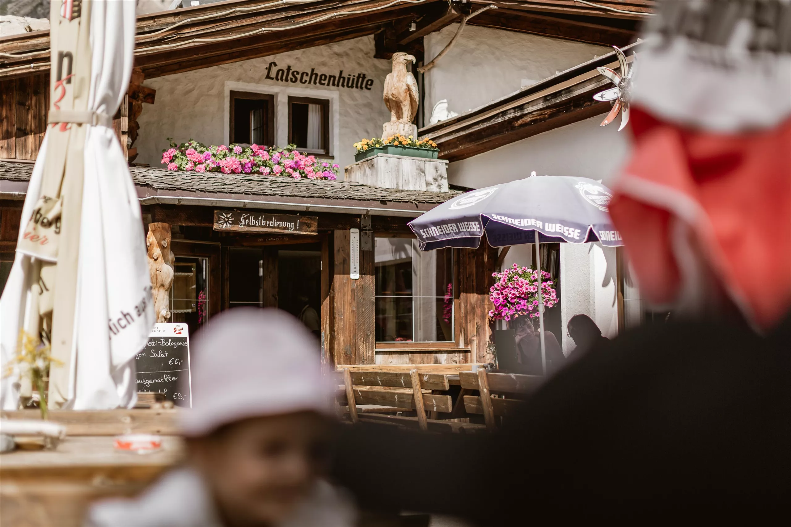
A mountain hut in the dwarf-pine zone above Imst (827 m), a stop on walks into the Muttekopf area of the Lechtal Alps.
Larcher Alm (1.814 m)
7 km away, in Wenns
An alpine pasture at 1,814 m on the Venet slope above Wenns.
Alpine Coaster
7.5 km away, in Imst
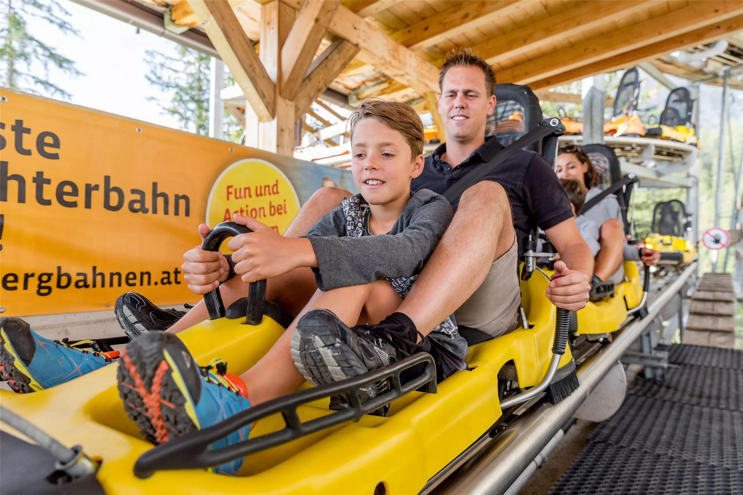
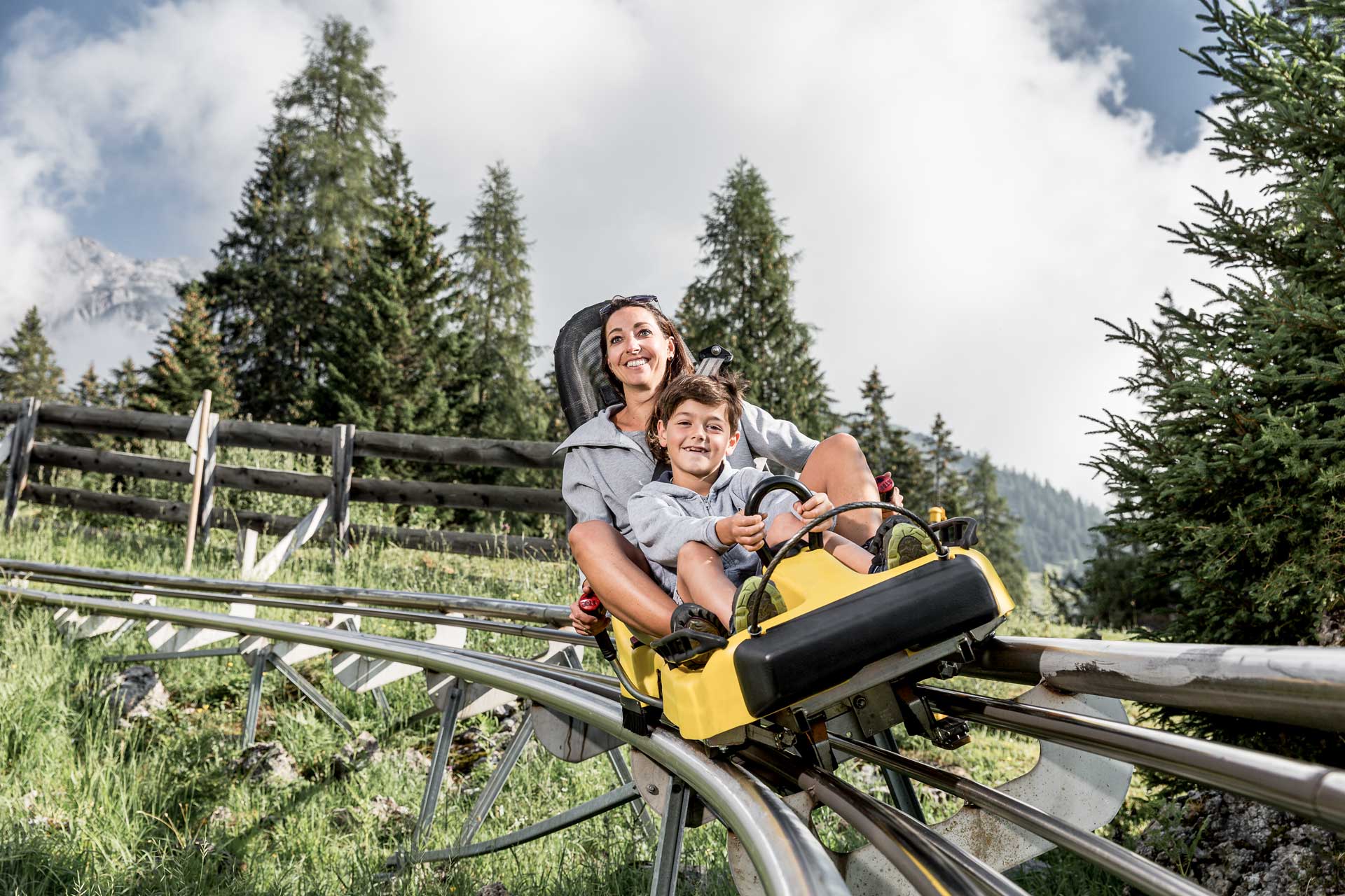
A rail-mounted toboggan run at Hoch-Imst above Imst, open in summer and winter, descending the hillside in long curves.
Alpine Coaster Imst
7.5 km away, in Imst
A rail-mounted toboggan run at Hochimst above Imst, descending the mountainside in banked curves and spirals.
 Via ferrata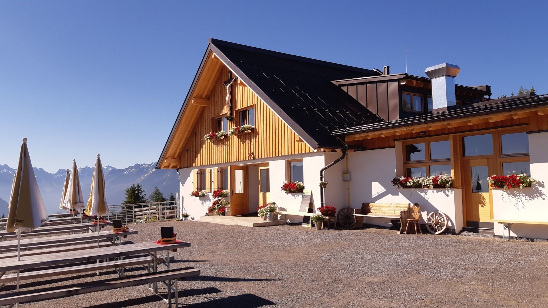
Nothing of this kind in Schönwies.
Routes
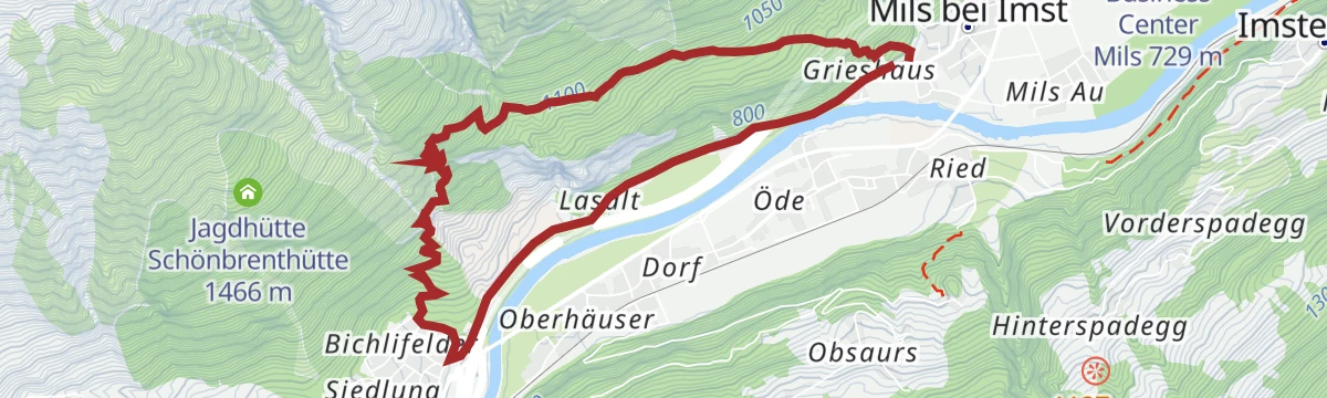
Abschnitt 2: Kronburg - Mils
The gentle second stage of the Starkenberger Panoramaweg, from the Kronburg pilgrimage site down the Inn valley to Mils with barely any climbing.
- 6.6 km
- Distance
- 71 m
- Ascent
- 1 h 55 min
- Duration
- 2
- Check-ins
Abschnitt 2a: Kronburg – Imsterberg
The 2a branch of the Starkenberger Panoramaweg, contouring from the Kronburg above the Inn to Imsterberg on wooded terraces and farm lanes.
- 11.2 km
- Distance
- 435 m
- Ascent
- 3 h 45 min
- Duration
- 2
- Check-ins
Jakobsweg
Stage 11 of the Way of St James through Tirol, 27.6 km from Roppen down the Inn valley to Zams, passing the Gasthof Kronburg.
- 27.6 km
- Distance
- 975 m
- Ascent
- 8 h 49 min
- Duration
- 7
- Check-ins
Via Claudia Augusta
A long ride over the Fernpass at 1,215 m, passing the Weißensee and the lakes at Fernstein on the way down.
- 48.5 km
- Distance
- 685 m
- Ascent
- 4 h 50 min
- Duration
- 29
- Check-ins
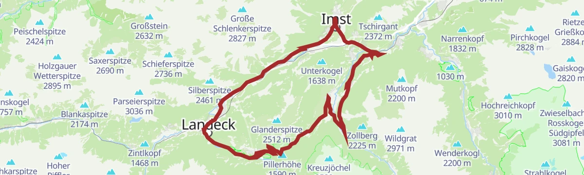
Piller Runde
A long road loop over the Pillerhöhe, dropping to Prutz in the Inn valley and climbing again to Fiss, with over 2,000 m of ascent.
- 83.9 km
- Distance
- 2 090 m
- Ascent
- 9 h 25 min
- Duration
- 33
- Check-ins
Kronburgweg
A short climb to the Kronburg, a medieval castle ruin above the Inn with a pilgrimage church and the Gasthof Kronburg alongside.
- 3.6 km
- Distance
- 248 m
- Ascent
- 1 h 18 min
- Duration
- 2
- Check-ins
Panoramasteig
A 7.7 km panorama path from Mils bei Imst over to Starkenbach, gaining 502 m.
- 7.7 km
- Distance
- 502 m
- Ascent
- 3 h 24 min
- Duration
Gravelrunde Venetmassiv
A gravel loop around the Venet massif crossing the Pillerhöhe at 1,559 m, with the Gachenblick and the Gasthof Kronburg on the way back.
- 56.6 km
- Distance
- 1 203 m
- Ascent
- 6 h 11 min
- Duration
- 20
- Check-ins
 Pillerhöhe 1 590 m
 Pillerhöhe 1 559 m
 Gachenblick 1 576 m
- Gasthof Kronburg 938 m
- Info-Point Pitztal 750 m
 Zweiter Weiher 920 m
- +2
Mieminger Plateau Runde
A near-100 km road round out of the Inn valley, climbing to the terrace villages above Mieming and past Gasthaus Arzkasten.
- 97.1 km
- Distance
- 1 138 m
- Ascent
- 9 h 41 min
- Duration
- 12
- Check-ins
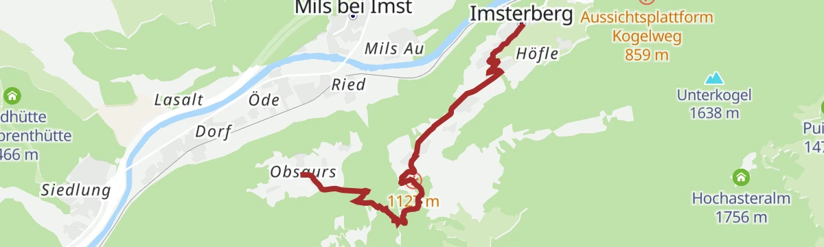
Obsauers/Kronburg
An easy ramble from Obsauers across sunny terraces to the Kronburg, linking old pilgrim paths with views over the Inn valley and a stop at the Gasthof below the ruin.
- 4.8 km
- Distance
- 143 m
- Ascent
- 1 h 26 min
- Duration
- 2
- Check-ins
Rüsselbach
A 4.7 km climb along the Rüsselbach on the pilgrims' route to Obsaurs, with 390 m of ascent.
- 4.7 km
- Distance
- 319 m
- Ascent
- 1 h 55 min
- Duration
Pillerrunde
A big loop through the Inn valley and the Pitztal mouth, climbing over the Pillerhöhe pass before the run back to Imst.
- 65.8 km
- Distance
- 1 587 m
- Ascent
- 7 h 20 min
- Duration
- 11
- Check-ins
Dorfrunde Schönwies
A flat village loop around Schönwies on the Inn valley floor, an unhurried round past farmland and hamlet lanes.
- 5.7 km
- Distance
- 30 m
- Ascent
- 1 h 24 min
- Duration
Hoch über Landeck (Tobadill)
A long circuit above the Inn valley between Landeck-Zams and Schönwies, starting from the tourist office in Tirol West.
- 61.1 km
- Distance
- 577 m
- Ascent
- 5 h 58 min
- Duration
- 4
- Check-ins
Leitenweg
A level path along the Leiten slopes at Schönwies, almost without climbing — an easy option for families and evening strolls.
- 3.5 km
- Distance
- 29 m
- Ascent
- 52 min
- Duration
Gravelrunde Falterschein
A gravel-surfaced round on the tracks above Schönwies, with the Anreit lookout on the climb and the Rifenalbahn base station on the way back.
- 20.6 km
- Distance
- 575 m
- Ascent
- 2 h 22 min
- Duration






No routes of this kind in Schönwies yet.
Planning a trip to Schönwies?
Everything else Tyrol has, in one place


Take Schönwies with you into the mountains
Every route on this page with 3D terrain, GPX navigation and offline maps — including the valleys with no signal.
Data sources
- Official website: imst.at ↗
- Routes and highlights: Imst Tourismus, Lechtal Tourismus, Tourismusverband Pitztal, Serfaus-Fiss-Ladis, St. Anton am Arlberg
- Published as open data by the tourist boards named above.
- Region summary generated from the board's own material.
