
Curated by Vorarlberg Tourismus
Schnepfau
A valley floor at 735 m under the Kanisfluh, once home to Gallus Moosbrugger, greatest of the cheese barons.
Photo: Martin Granadia buero balanka
- 5Highlights
- 26Routes
Highlights
10 from neighbouring places
Gopfberg
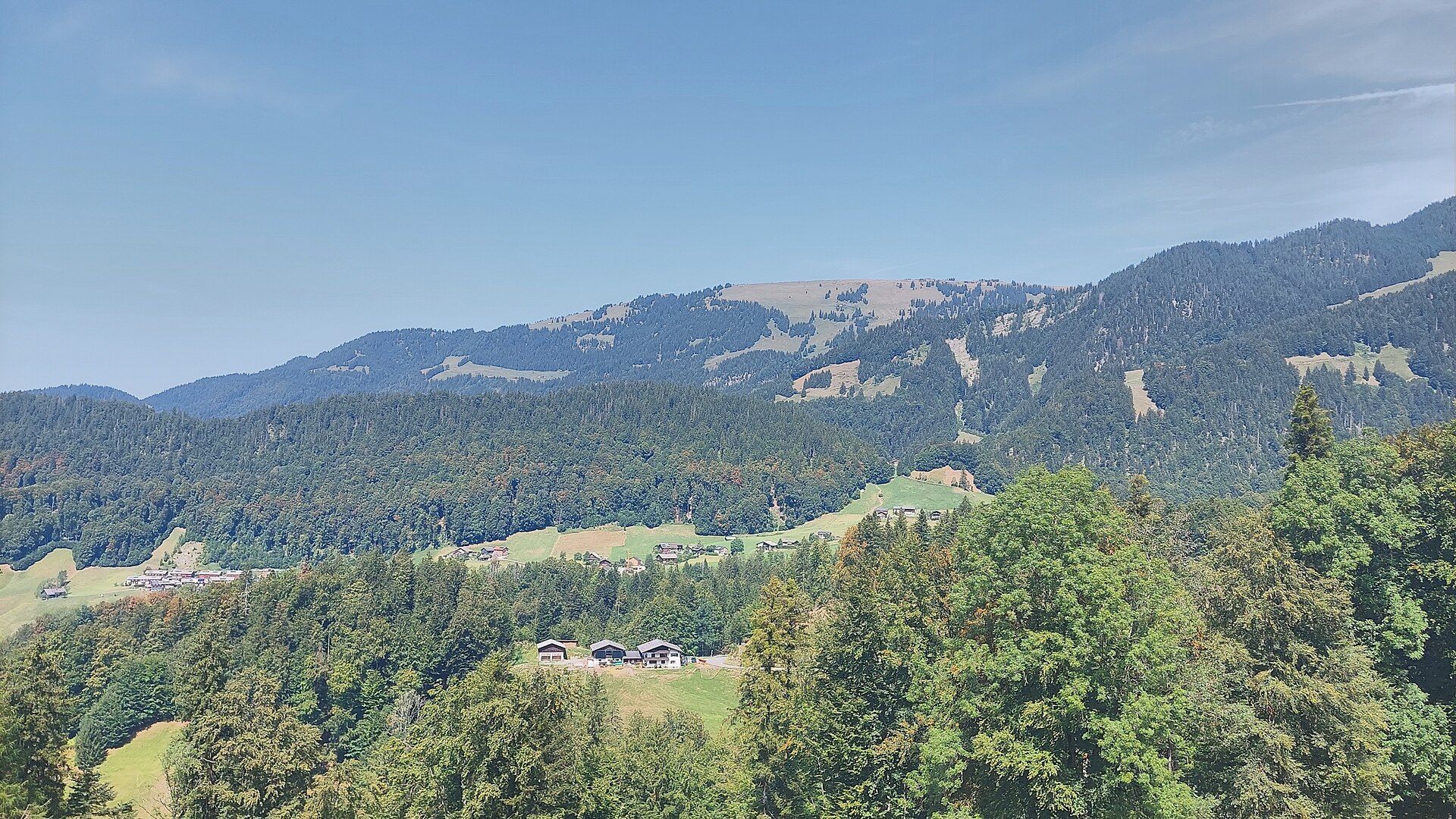
A wooded 1,316 m hill under 3 km south-east of the village, with vorsäß huts on its flanks.
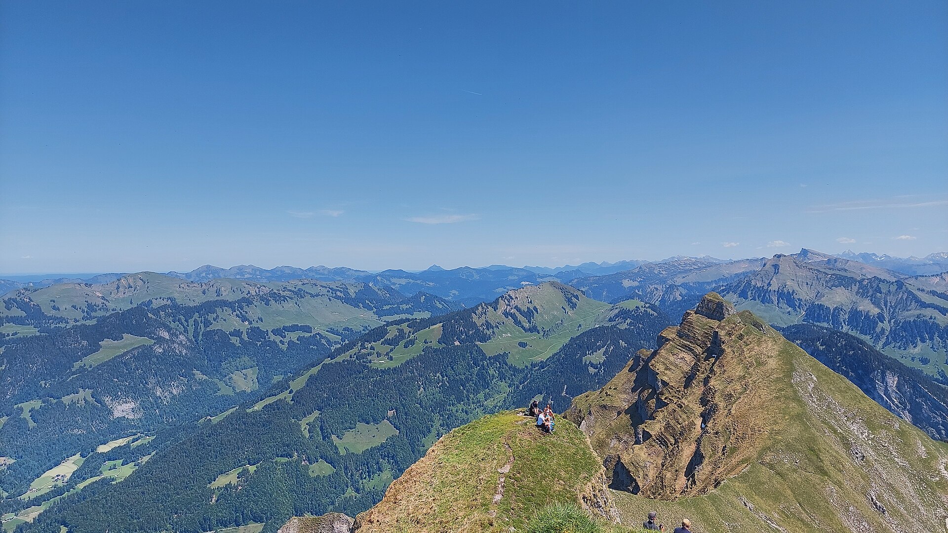
Hoher Stoß
A 1,948 m summit on the same southern ridge, below the higher tops of the Damüls group.
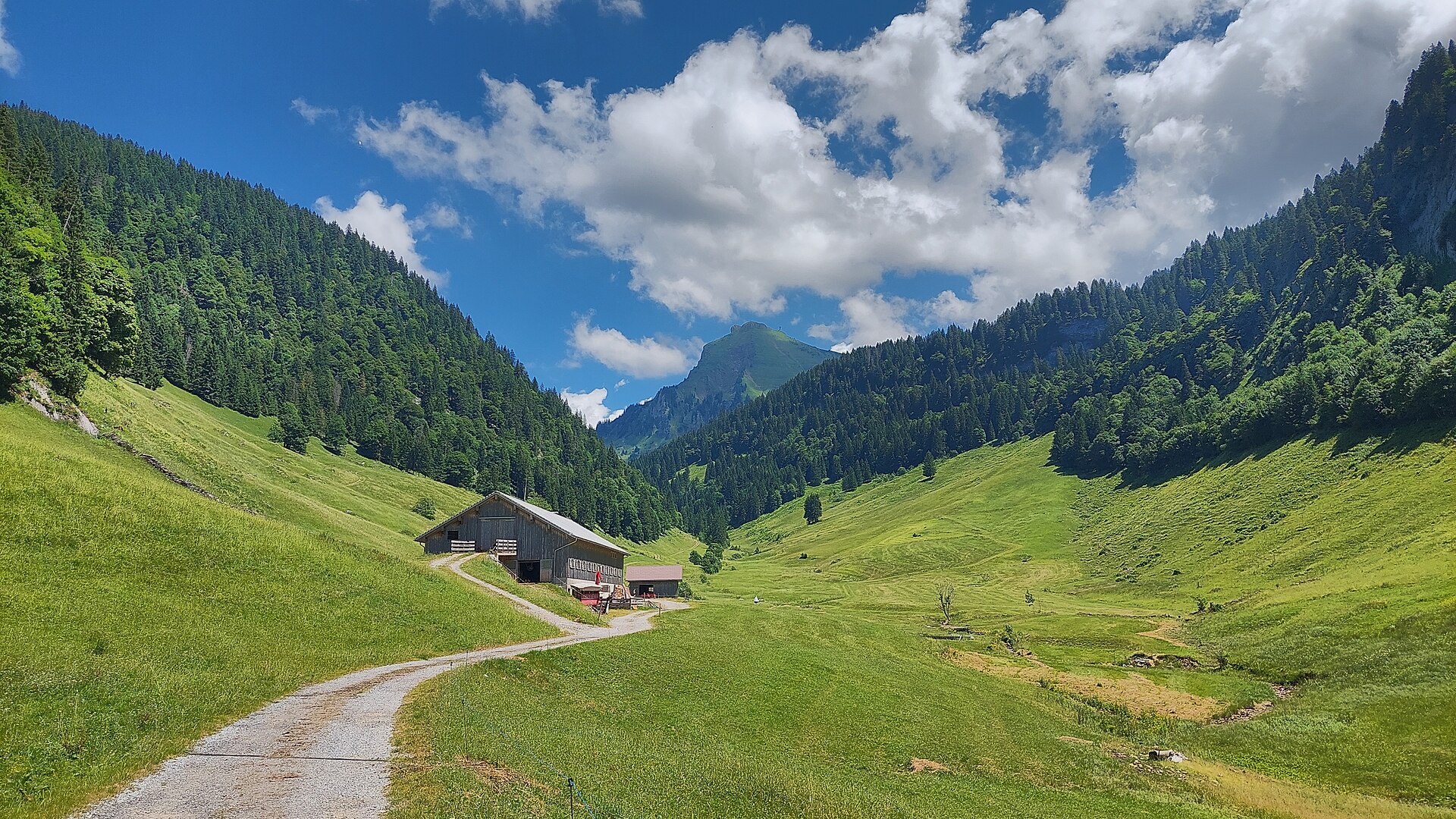
Weißenbachalpe
An alp in the Weißenbachtal, about 3 km east of the village and the objective of the round from the centre.
Jakob Meusburger
A memorial above the village, less than a kilometre from the centre on the way to the Schnepfegg.
PeakVisor / OpenStreetMapSchnepfegg
A terrace and crossing at 891 m above the village, the way up towards the Hirschberg alps.
Sonnenspitz
0.7 km away, in Au
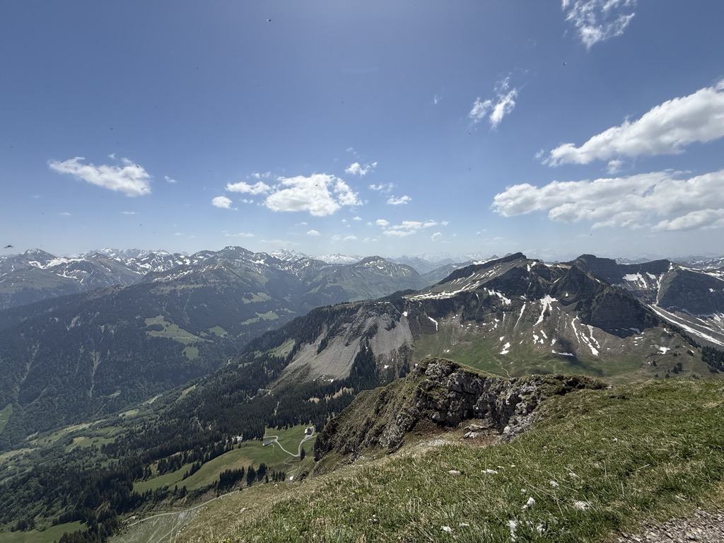
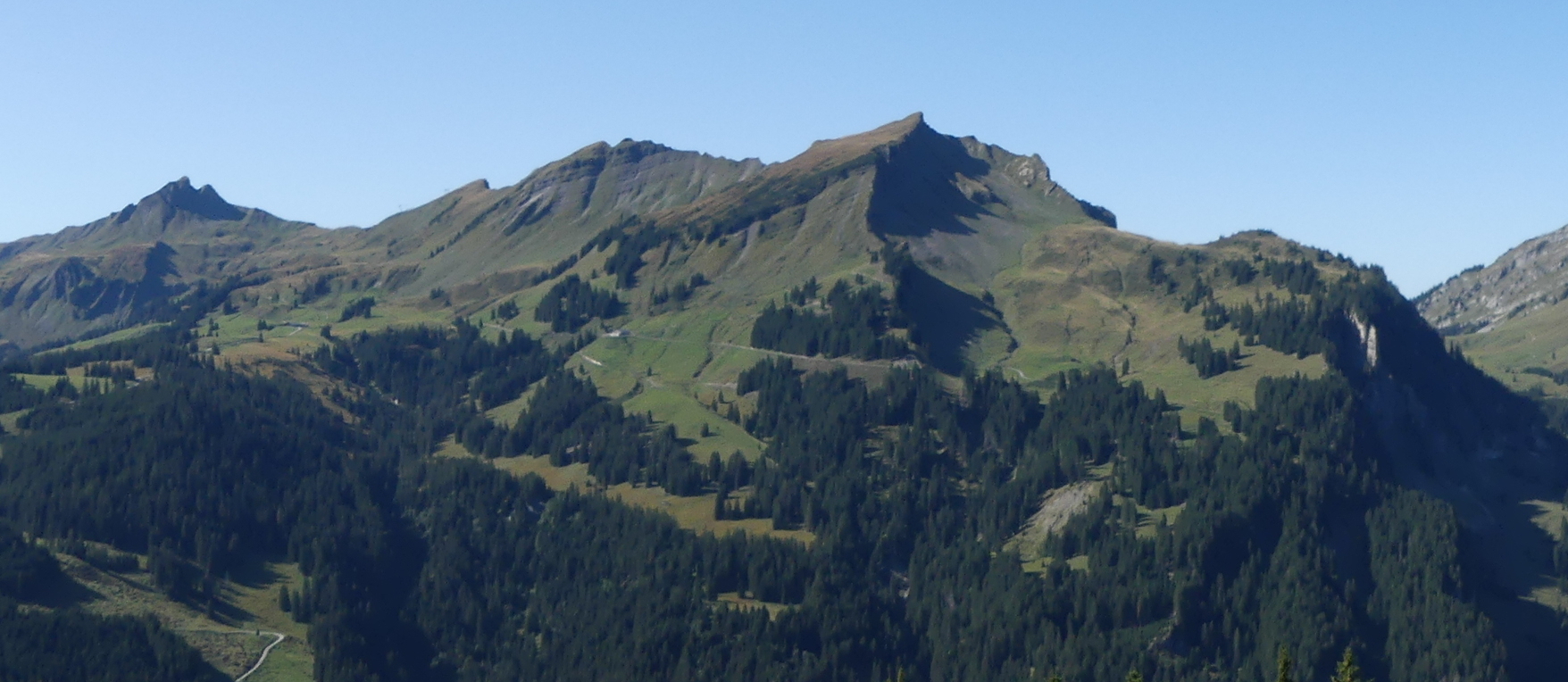
A 1,965 m top on the same Kanisfluh ridge, immediately above the village to the south.
Runder Kopf
0.8 km away, in Au
A 2,014 m top on the Kanisfluh ridge, less than a kilometre from its highest point.
Holenke
1.3 km away, in Au
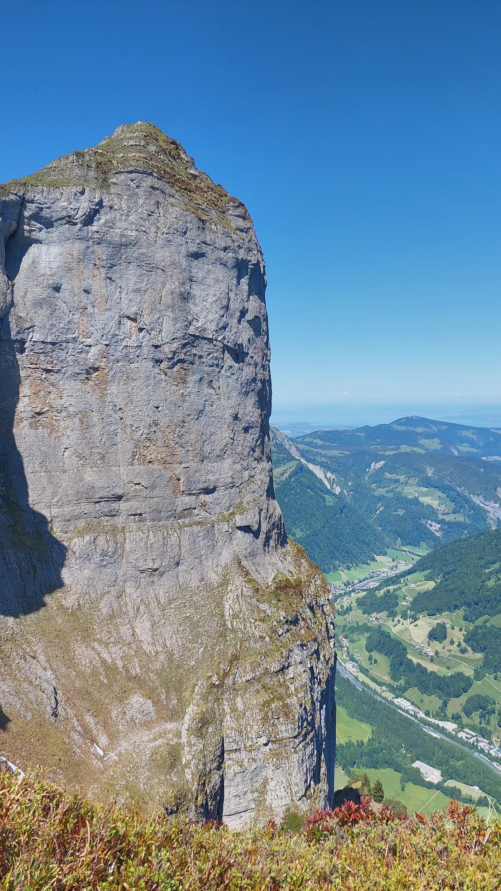
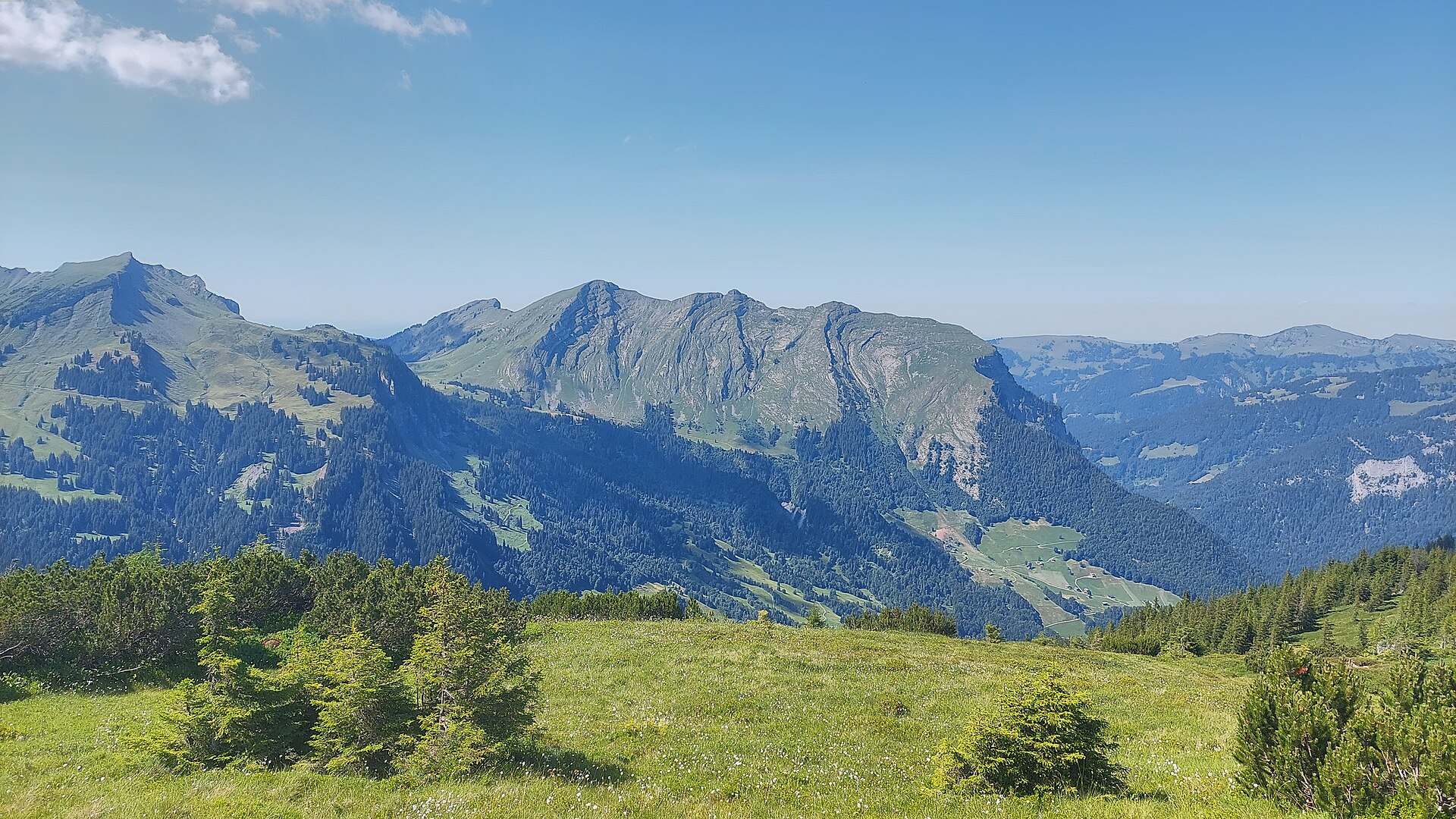
At 2,044 m the highest point of the Kanisfluh, the mostly isolated massif that is the landmark of the Bregenzerwald.
Hählesattel
1.6 km away, in Mellau
A saddle at 1,878 m on the high ground south of the village, on the way between the alps.
Wetzsteinhöhle
2.6 km away, in Bizau
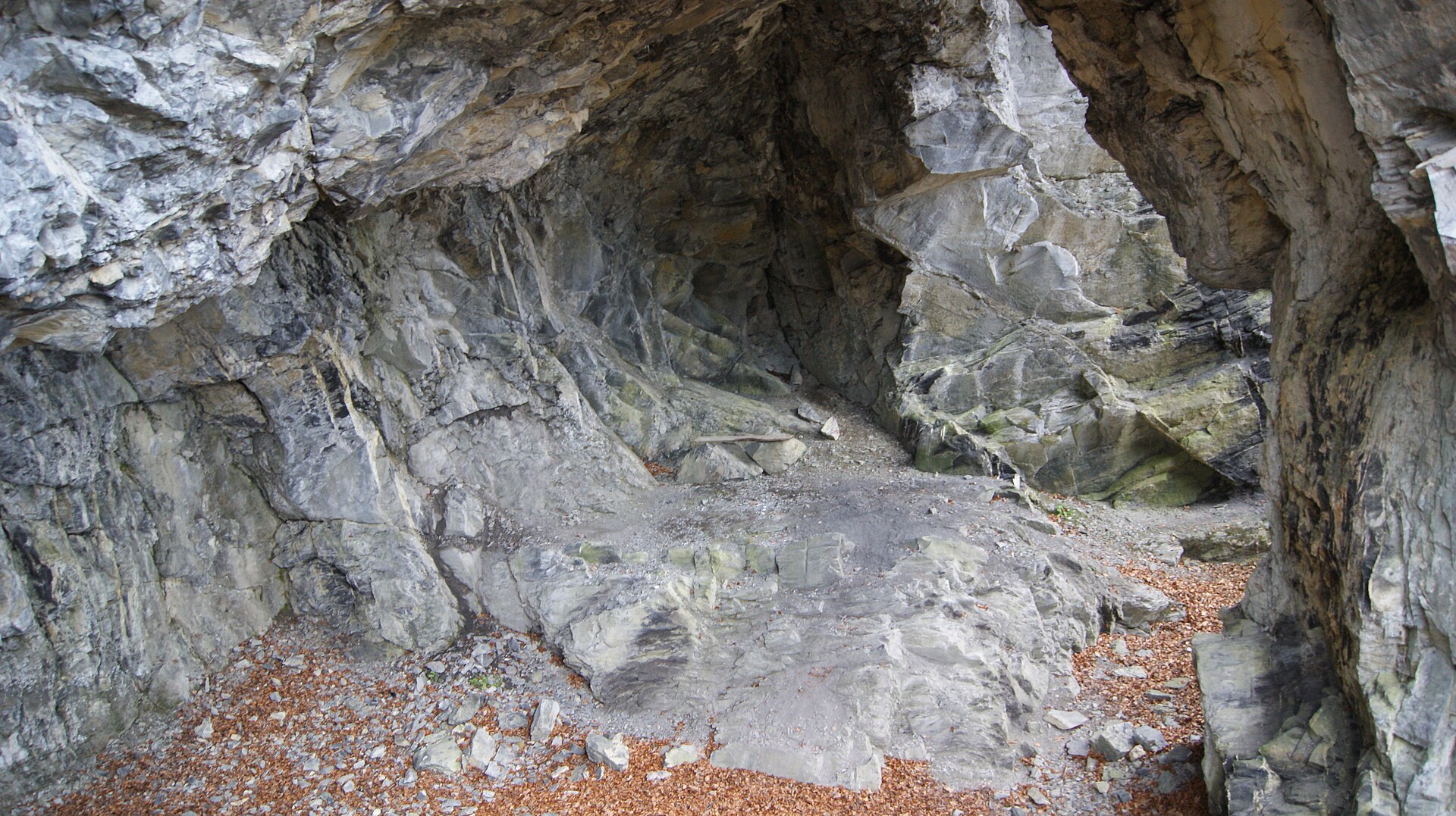
A dry cavity cut by quarrying at about 700 m in the woods, in the Steinbruch parcel of the municipality.
PeakVisor / OpenStreetMapKorbschrofen
2.7 km away, in Au
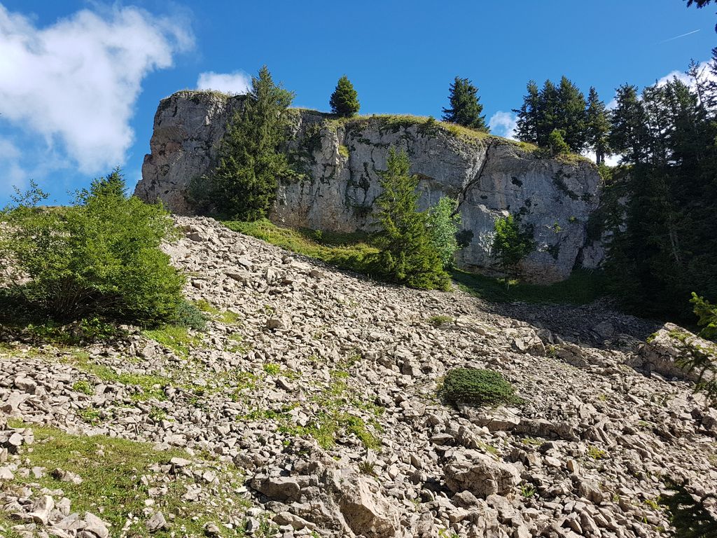
A 1,828 m rock top four and a half kilometres south-east of the village, on the way to the Gungern.
Gungern
3.8 km away, in Au
A 2,053 m top on the ridge that runs south from the village towards the Damüls mountains.
Am Stein
3.9 km away, in Bizau
A rise of 1,003 m two kilometres north-west of the village, close above the Wetzstein cave.
Mellaubahn
3.9 km away, in Mellau
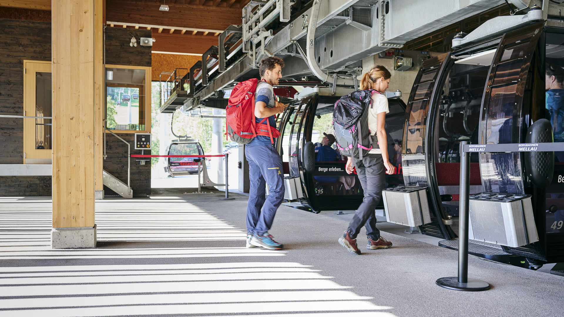
The cable car up from the village, its timber-clad valley and top stations worth a look in themselves.
Äblisbodenalpe
4.8 km away, in Bizau
An alp on the slopes two kilometres east of the village, below the Luguntenkopf.
PeakVisor / OpenStreetMap
 Mountain hut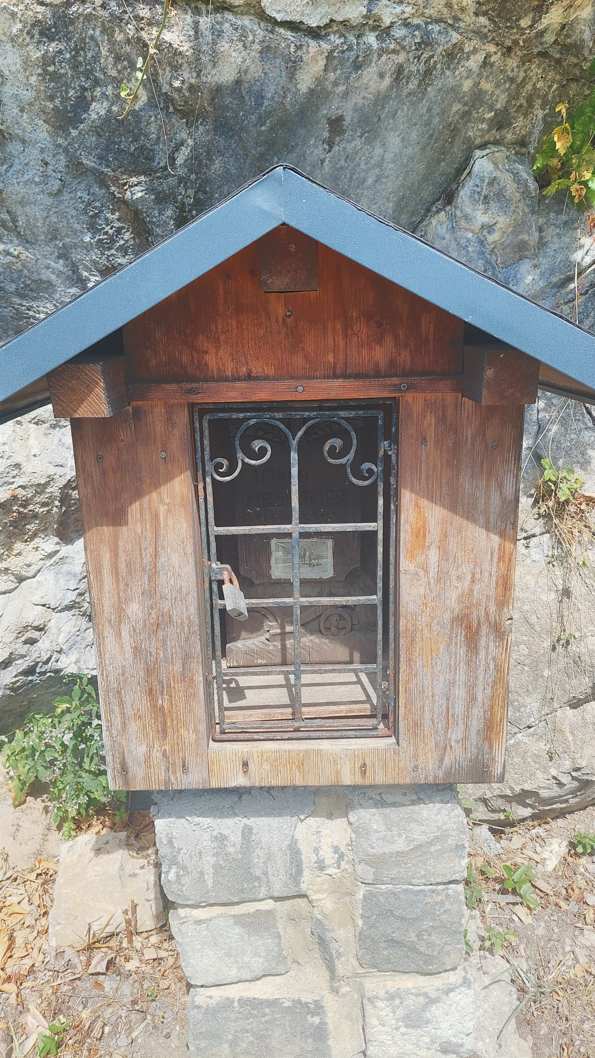
 Historic site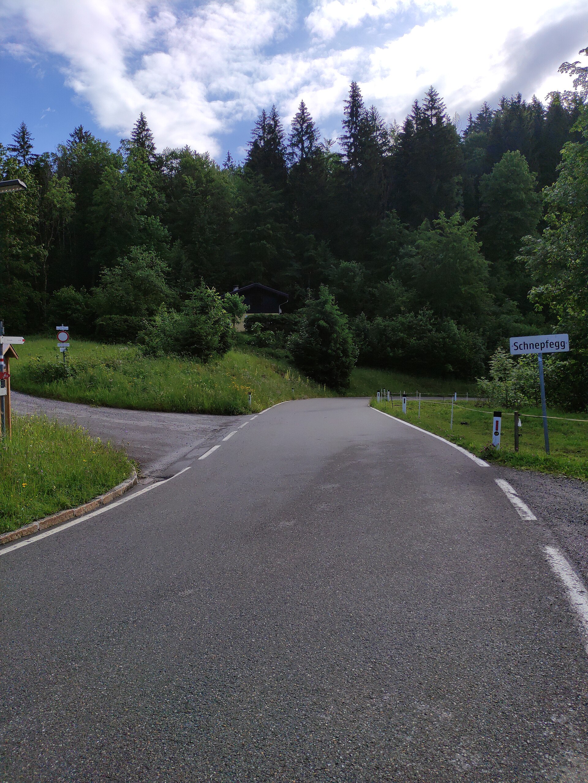
 Mountain pass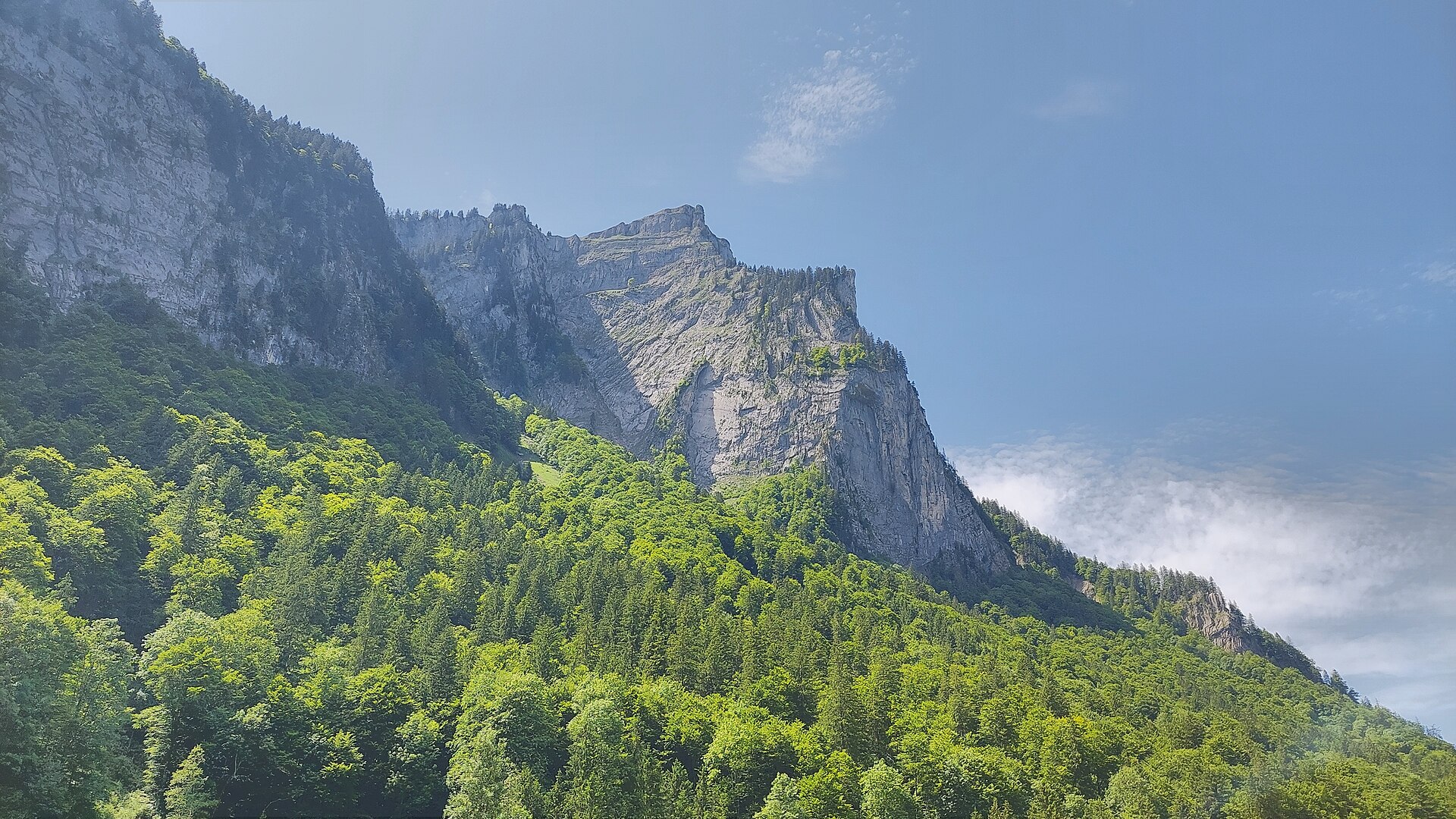
 Cable car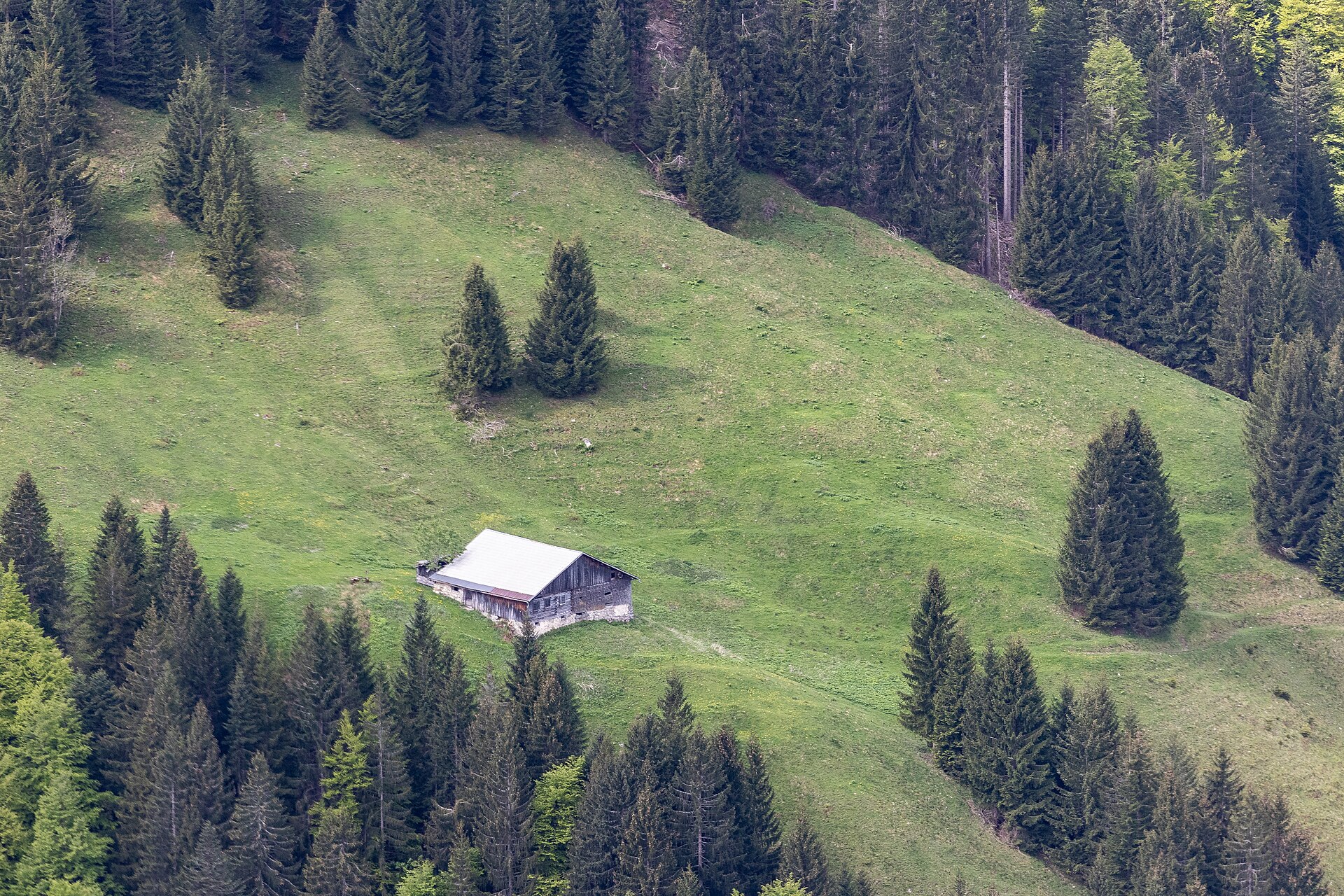
Nothing of this kind in Schnepfau.
Routes
Schnepfau | Abendrot Klettersteig
A short, uncompromising grade-E via ferrata, entered with a stride across a detached block into an exposed wall.
- 990 m
- Distance
- 104 m
- Ascent
- 48 min
- Duration
Open route Vorarlberg TourismusSchnepfau | Wälder Klettersteig
A sporting grade-D via ferrata with many iron steps, running almost vertically up the steep wall above the village.
- 883 m
- Distance
- 81 m
- Ascent
- 38 min
- Duration
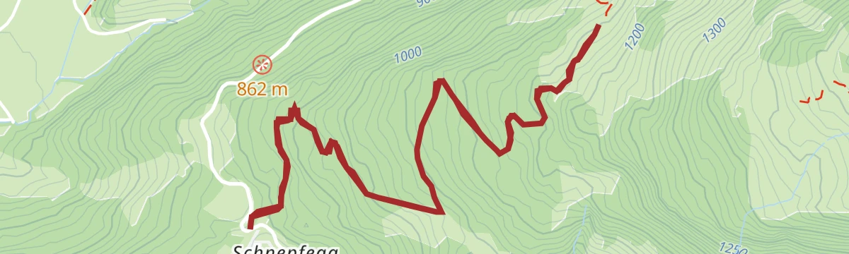
Open route Vorarlberg TourismusSchnepfegg | Alpe Unterhirschberg
A short walk from the Schnepfegg terrace up to the Alpe Unterhirschberg and back.
- 5.4 km
- Distance
- 308 m
- Ascent
- 2 h 9 min
- Duration
Open route Vorarlberg TourismusAlpwandern |Schnepfau – Weißenbachtal – Au
Up the Weißenbachtal to the Alpe Weißenbach, the view opening in every direction from the Sattelalpe, then down to Au.
- 14.3 km
- Distance
- 880 m
- Ascent
- 5 h 58 min
- Duration
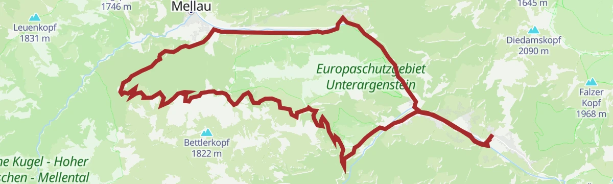
Open route Vorarlberg TourismusMellau l Rundwanderung über die Schnepfegg
A low valley walk linking Mellau and Schnepfau over the Schnepfegg terrace and two vorsäß settlements.
- 19.3 km
- Distance
- 600 m
- Ascent
- 5 h 50 min
- Duration
Open route Vorarlberg TourismusSt. Anton - Lech - Bregenzerwald - Bodensee
A long road stage crossing the Arlberg, the Flexenpass and the Losenpass on the way from Tirol down to the shore of Lake Constance.
- 87.4 km
- Distance
- 2 340 m
- Ascent
- 9 h 57 min
- Duration
- 175
- Check-ins
Bezau | Gopfberg – Mellau
From Bezau by way of Reuthe and the Stenn vorsäß onto the Gopfberg, then down into Mellau.
- 11.6 km
- Distance
- 752 m
- Ascent
- 4 h 60 min
- Duration
Open route Vorarlberg TourismusMellau | Rundwanderung um den Gopfberg
A low circuit of the Gopfberg linking Mellau, Reuthe, Bizau and Schnepfau by the Bizauer Moos.
- 15.1 km
- Distance
- 257 m
- Ascent
- 4 h 10 min
- Duration
Open route Vorarlberg Tourismus40 Jahre Bodensee-Radweg: Den Bregenzerwald entdecken
A ride along the Bregenzerache that can be combined with the R1 cycle bus, past old Wälder houses and new timber buildings.
- 47.1 km
- Distance
- 596 m
- Ascent
- 4 h 47 min
- Duration
Open route Vorarlberg TourismusBizau l Unterhirschberg Alpe
A short round from the Hütten car park to the Alpe Unterer Hirschberg, below the old chairlift top station.
- 7.4 km
- Distance
- 375 m
- Ascent
- 2 h 44 min
- Duration
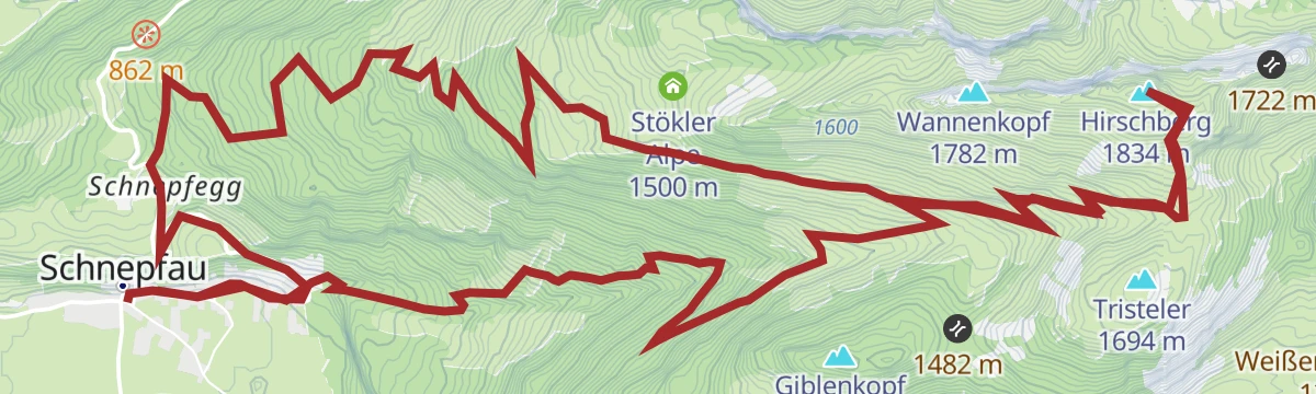
Open route Vorarlberg TourismusSchnepfau | Schnepfau – Schnepfegg – Mittelhirschbergalpe – Obere Hirschbergalpe – Untere Hirschbergalpe – Giblenvorsäß – Schnepfau
A long round past the Berghaus Kanisfluh and all three Hirschberg alps, returning by the Giblen vorsäß.
- 18.2 km
- Distance
- 1 262 m
- Ascent
- 8 h 23 min
- Duration
Open route Vorarlberg TourismusAu-Schoppernau | Schönenbach – Schreiberesattel
A ride for strong legs from Au over the Stoggersattel to Schönenbach and back by the Schreiberesattel.
- 49.0 km
- Distance
- 1 906 m
- Ascent
- 6 h 9 min
- Duration
Open route Vorarlberg TourismusMellau | Rundwanderung Vorsäß Kau
A short round from the middle of Mellau up to the Vorsäß Kau with its chapel, returning by the Vorsäß Boden.
- 9.2 km
- Distance
- 421 m
- Ascent
- 3 h 12 min
- Duration
Open route Vorarlberg TourismusBezau | Bezau – Schönenbach – Ostergunten – Au
A ride from Bezau by Bizau to Schönenbach, on over the Ostergunten sattel and down to Au.
- 38.5 km
- Distance
- 1 172 m
- Ascent
- 4 h 31 min
- Duration
Open route Vorarlberg TourismusReuthe | Gopfberg
A varied round over the Gopf by way of Rosenburg and Hinterreuthe, with wooded climbs and quiet natural paths.
- 13.3 km
- Distance
- 747 m
- Ascent
- 5 h 17 min
- Duration
Open route Vorarlberg TourismusBezau | Mellau – Schnepfegg – Bezau
A valley round linking Bezau, Mellau, the Schnepfegg terrace and Bizau on forest and field roads.
- 21.0 km
- Distance
- 603 m
- Ascent
- 2 h 26 min
- Duration
Open route Vorarlberg TourismusSchnepfau | Hirschau – Rosenburg – Schnepfegg
A round that begins at the foot of the steep north wall of the Kanisfluh and climbs to the Wirmboden vorsäß.
- 8.3 km
- Distance
- 422 m
- Ascent
- 3 h 5 min
- Duration
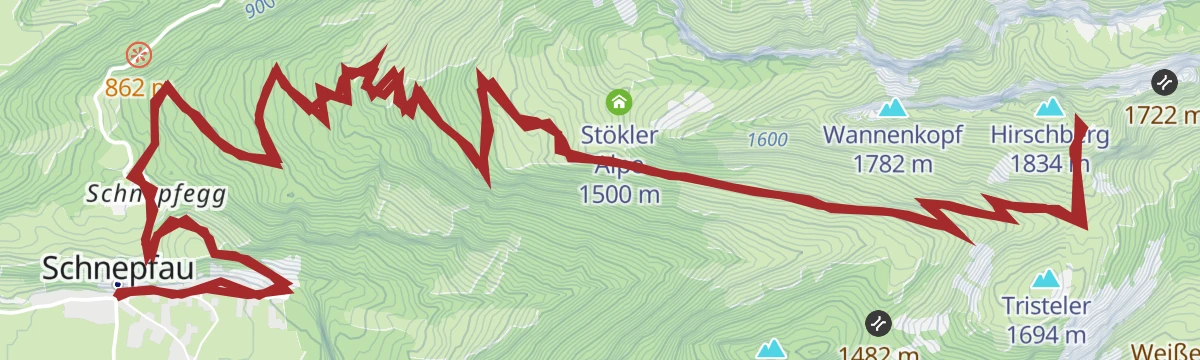
Open route Vorarlberg TourismusBike & Hike | Schnepfau – Hirschberg
Ride from Schnepfau up to the Hirschbergsattel, then walk the last stretch onto the Hirschberg.
- 21.6 km
- Distance
- 1 221 m
- Ascent
- 3 h 16 min
- Duration
Open route Vorarlberg TourismusSchnepfau | Zur Weißenbachalpe
A round from the village to the Weißenbachalpe, high on the far side of the valley from the Kanisfluh.
- 11.8 km
- Distance
- 862 m
- Ascent
- 5 h 40 min
- Duration
Open route Vorarlberg TourismusDamüls | Rundtour um die Kanisfluh
A full lap of the Kanisfluh by road and alp track, over the Roßstelle and past the Berggasthaus Edelweiß.
- 44.4 km
- Distance
- 1 512 m
- Ascent
- 5 h 22 min
- Duration
Open route Vorarlberg TourismusDamüls | Rundtour zur Alpe Schönenbach
A long circuit from Damüls through the valley villages to the alp settlement of Schönenbach and back over Au.
- 47.7 km
- Distance
- 1 473 m
- Ascent
- 5 h 37 min
- Duration
Open route Vorarlberg TourismusMellau l Mellau – Schnepfegg – Hirschberg
A ride from Mellau over the Schnepfegg to the three Hirschberg alps and back down the same road.
- 28.7 km
- Distance
- 1 003 m
- Ascent
- 3 h 30 min
- Duration
Open route Vorarlberg TourismusMellau | Kanisfluh „Klassiker“
The classic lap of the Kanisfluh, a demanding circuit of the mountain that stands over the whole Bregenzerwald.
- 32.9 km
- Distance
- 1 206 m
- Ascent
- 4 h 4 min
- Duration
Open route Vorarlberg TourismusMellau | Mellau – Au – Bergkristallhütte – (Annalpe)
Down the valley cycle path to Au, then a climb through the Bodenvorsäß to the Bergkristallhütte and back the same way.
- 38.4 km
- Distance
- 1 243 m
- Ascent
- 4 h 35 min
- Duration
Open route Vorarlberg TourismusRadweg Bregenzerwald
The valley cycle route from Schoppernau down to Doren, following the Bregenzerache the whole way.
- 39.4 km
- Distance
- 234 m
- Ascent
- 3 h 51 min
- Duration
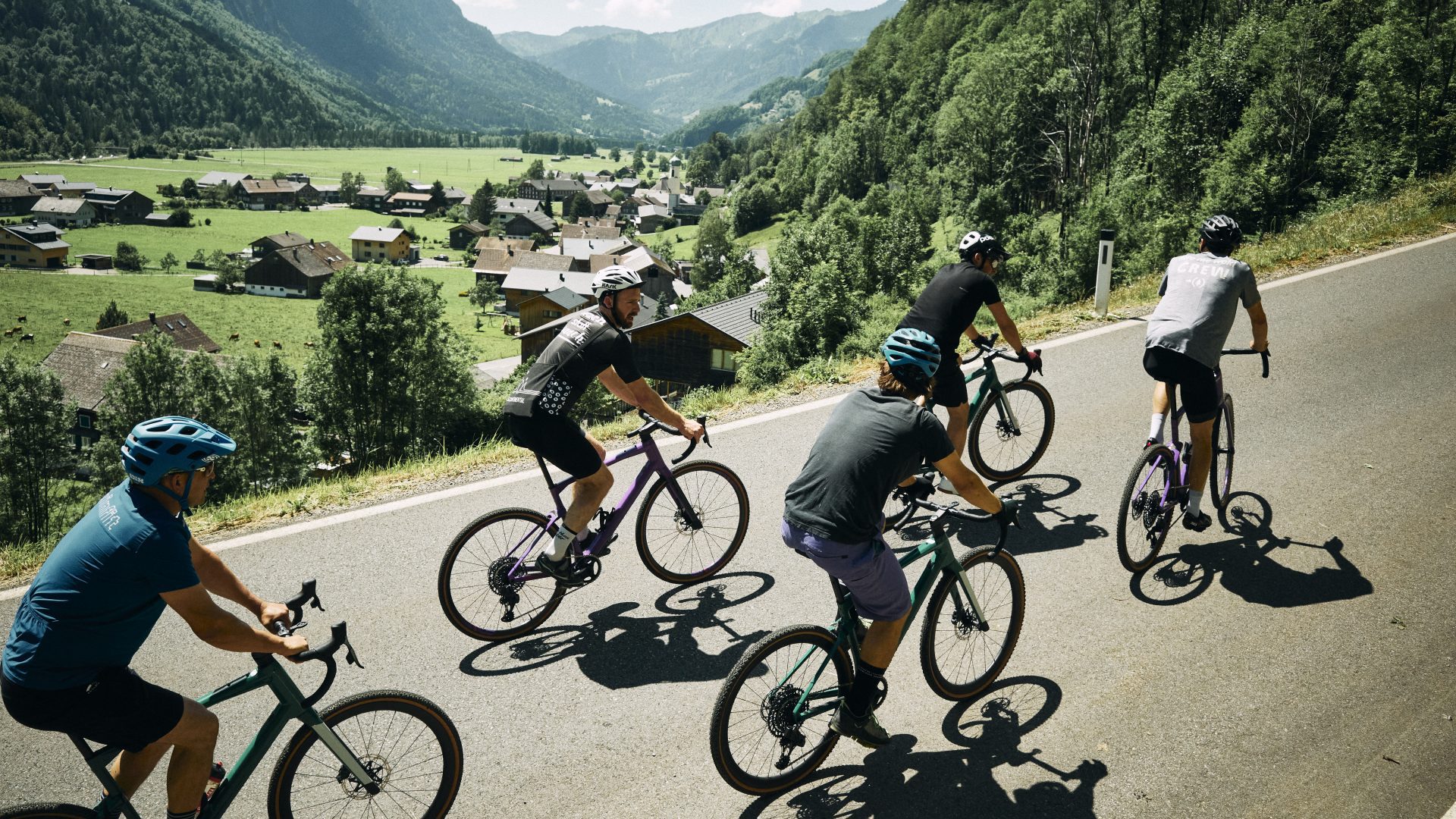
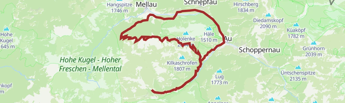
Open route Vorarlberg TourismusSchoppernau | Gravelbike-Runde um die Kanisfluh
A full lap of the Kanisfluh on gravel, mixing the valley cycle path with higher, more open sections before Au.
- 37.8 km
- Distance
- 1 150 m
- Ascent
- 4 h 27 min
- Duration
Open route Vorarlberg Tourismus









No routes of this kind in Schnepfau yet.
Planning a trip to Schnepfau?
Everything else Vorarlberg has, in one place


Take Schnepfau with you into the mountains
Every route on this page with 3D terrain, GPX navigation and offline maps — including the valleys with no signal.
Data sources
- Official website: bregenzerwald.at ↗
- Routes and highlights: Vorarlberg Tourismus, PeakVisor / OpenStreetMap, Bregenzerwald Tourismus, St. Anton am Arlberg
- Published as open data by the tourist boards named above.
