

 Historic site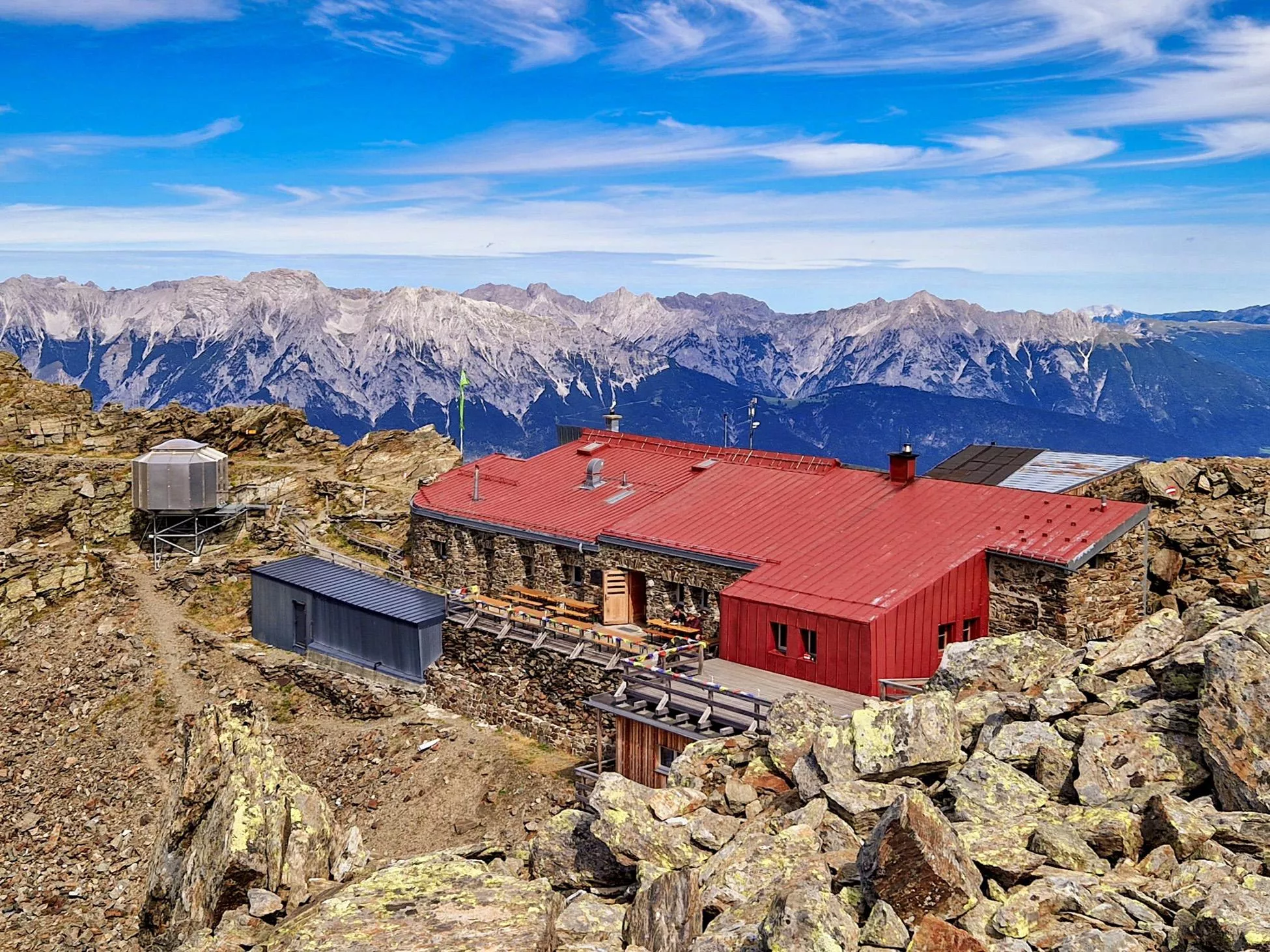






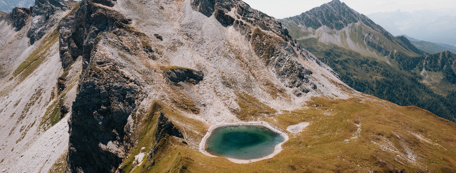
Curated by Wipptal Tourismus
Schmirn
Scattered farm hamlets at 1400 m in the Schmirntal east of the Wipptal, part of the St. Jodok mountaineering-villages group under the Tuxer Alps.
- 8Highlights
- 36Routes
- Featured summit · Olperer
Highlights
All 8 from neighbouring places
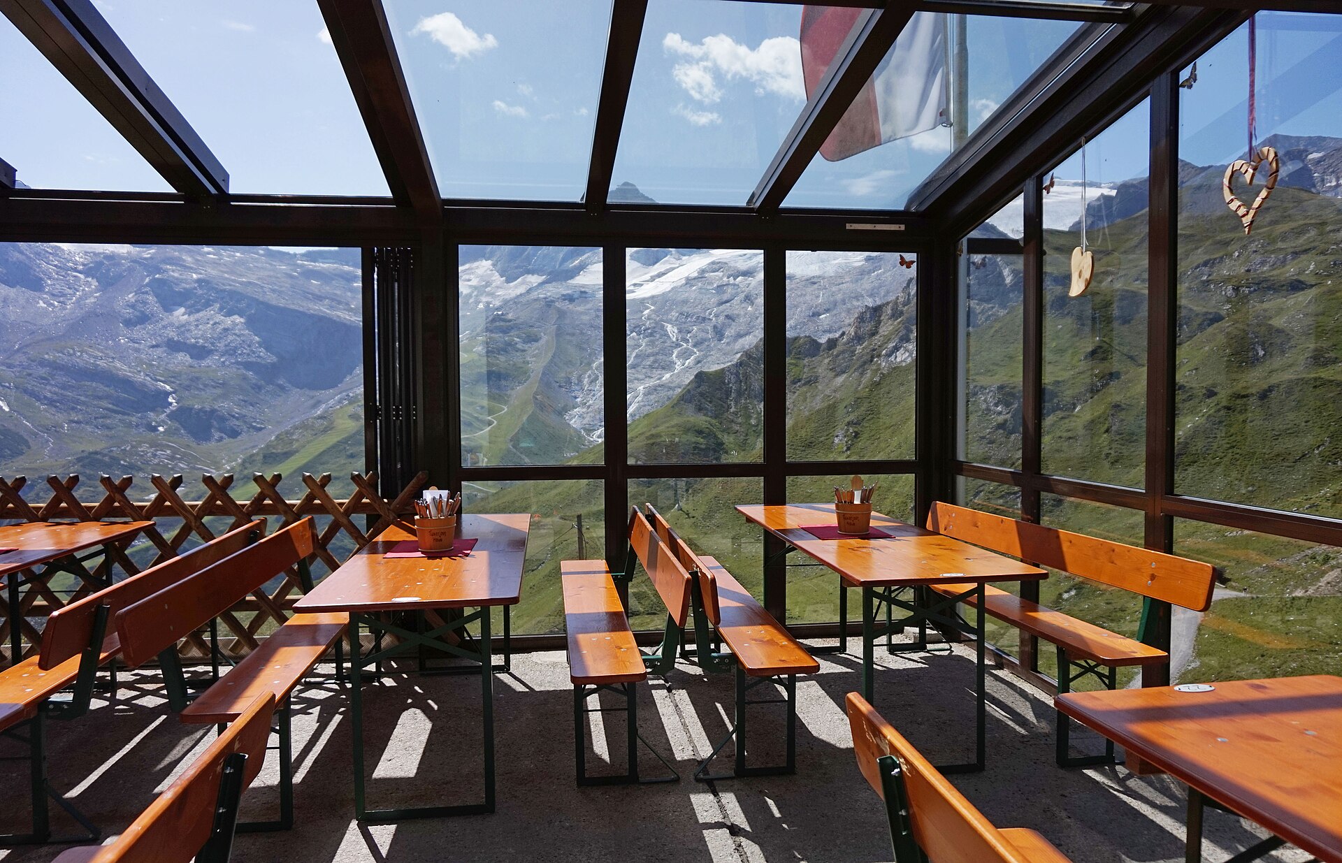
Tuxerjochhaus 2.313 m
4.5 km away, in Tux
A mountain refuge at 2,313 m by the Tuxer Joch, the crossing between the Schmirn valley and Hintertux, serving hikers and ski tourers.
 Climbing site https://wellcomeimages.org/indexplus/obf_images/59/75/e90ba921bf07b05b12371a892bad.jpg Gallery: https://wellcomeimages.org/indexplus/image/L0040558.html · CC BY 4.0
Sunblocker
4.6 km away, in Vals
An ice climbing line in the shaded Valser valley of the Wipptal, usually in condition through the cold midwinter weeks.
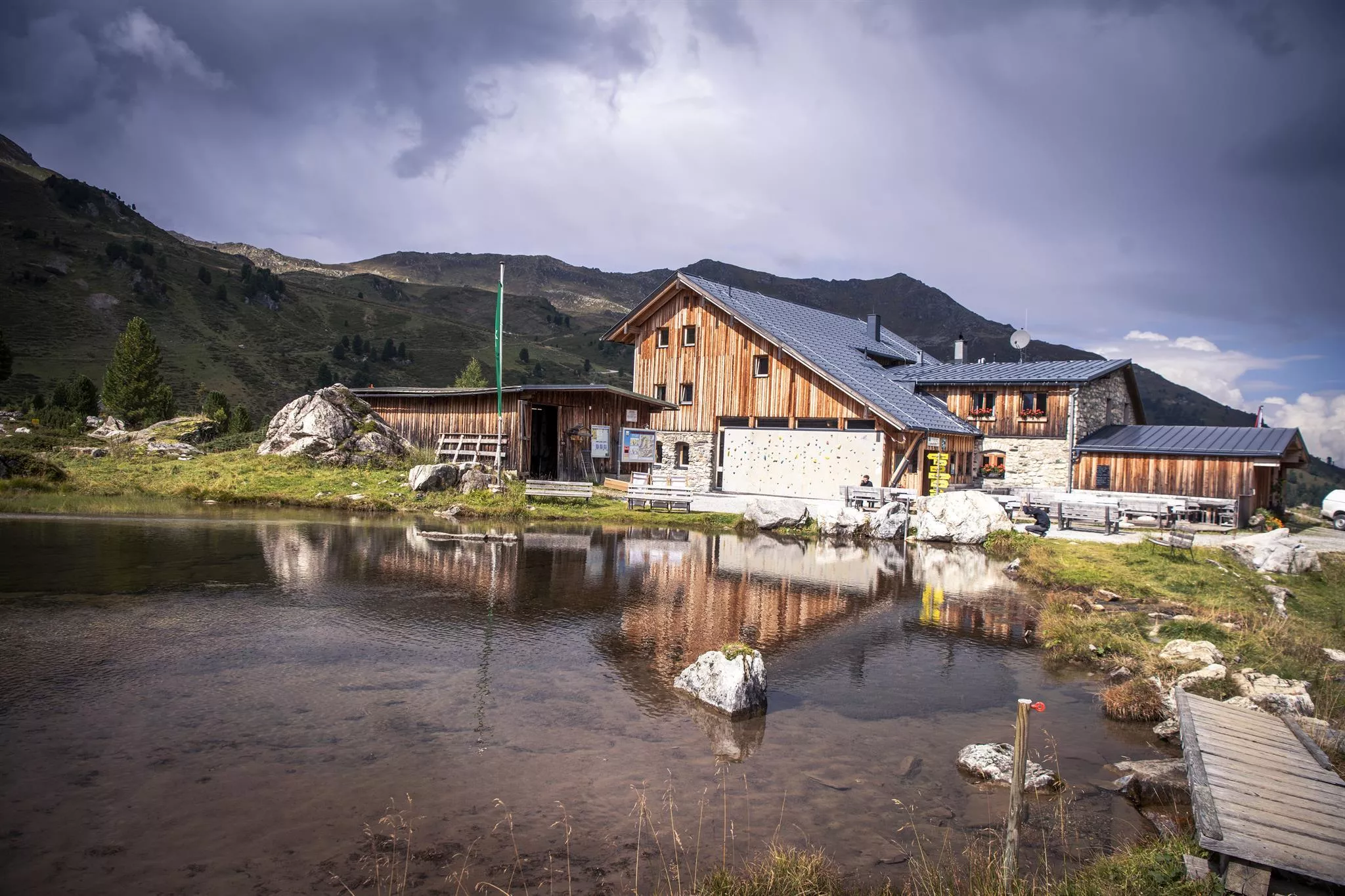
Naviser Hütte
6.3 km away, in Navis
A mountain hut in the Navis valley above the village of Navis, a destination for walkers in summer and tobogganers and ski tourers in winter.
Bremer Hütte
9.4 km away, in Steinach am Brenner
An Alpine Club hut at 2,413 m at the head of the Gschnitztal, crossed by the Stubai High Trail on its stage to the Nürnberger Hütte.
Lizumer Hütte
9.5 km away, in Wattenberg
An alpine club hut at the head of the Wattental in the Tux Alps, a base for ski tours and summer walks around the Lizum basin south of Wattens.
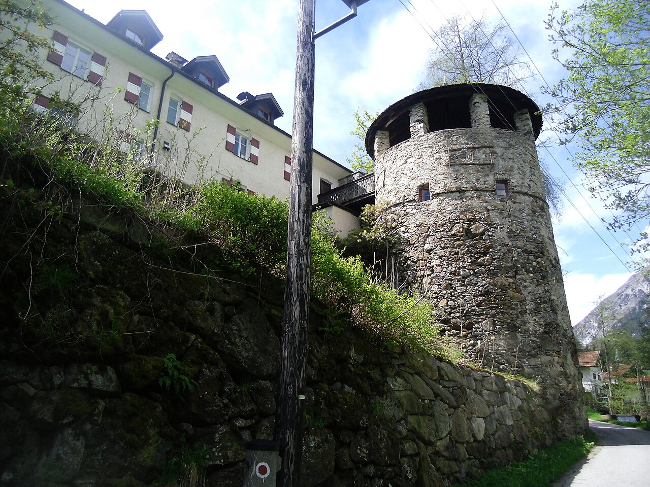
Schloss Schneeberg
13.7 km away, in Trins
A historic castle in the Wipptal, the Tirolean valley running south from Innsbruck towards the Brenner Pass, counted among the area's sights.
Glungezer-Hütte 2610
14.4 km away, in Tulfes
A hut just below the Glungezer summit at 2,610 m above Tulfes, known for home cooking and as a stage on the long Zirbenweg ridge path.
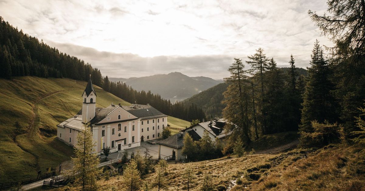
Maria Waldrast 1.640m
15 km away, in Mühlbachl
A Servite monastery and pilgrimage church at about 1,640 m below the Serles, with an inn and a spring long credited with healing powers.
Nothing of this kind in Schmirn.
Routes
Wanderung Kaserer Winkl
Easy walk at the head of the Schmirntal from Kasern into the Kaserer Winkl basin, passing the Alpengasthof Kasern on quiet valley paths.
- 6.6 km
- Distance
- 249 m
- Ascent
- 2 h 10 min
- Duration
- 2
- Check-ins
Rundtour Ottenspitz
Loop from the Lorleswald parking in the Schmirntal to the Ottenspitze, a moderate grassy summit round above the valley's scattered hamlets.
- 7.5 km
- Distance
- 723 m
- Ascent
- 4 h 29 min
- Duration
- 3
- Check-ins
Rundgang Tuxer Joch-Frauenwand (2.518)
A high circuit from Kasern in the Schmirntal over the Tuxer Joch and along to the Frauenwand, passing the Tuxerjoch Haus and the Kaserer Schartl.
- 13.0 km
- Distance
- 997 m
- Ascent
- 6 h 29 min
- Duration
- 29
- Check-ins
Kleegrubenscharte (2.499 m)
A ski tour from Kasern at the end of the Schmirntal up to the Kleegrubenscharte, a saddle objective on open slopes above the Mucherhof.
- 5.1 km
- Distance
- 871 m
- Ascent
- 871 m
- Descent
- 2 h 54 min
- Duration
- 4
- Check-ins
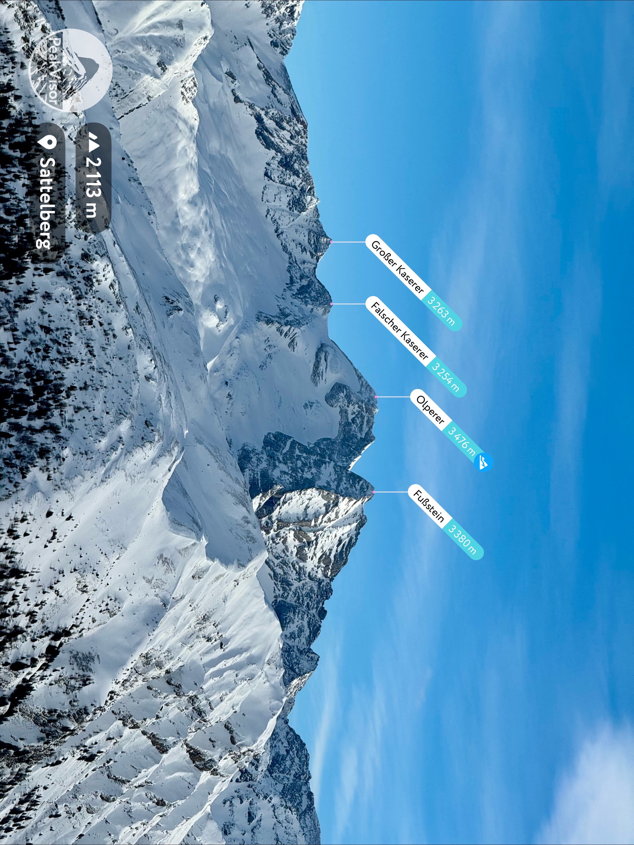
Olperer (3.476 m)
A major ski-mountaineering objective from the Wildlahnertal in the Schmirn valley, climbing via the Wildlahnerscharte towards the 3,476 m summit of the Olperer.
- 9.1 km
- Distance
- 1 929 m
- Ascent
- 1 929 m
- Descent
- 6 h 9 min
- Duration
- 14
- Check-ins
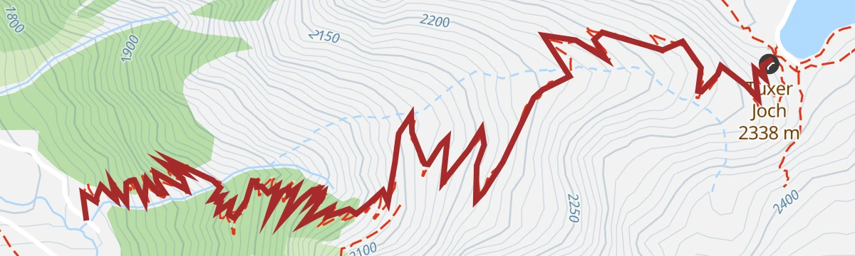
5029 Trail Tuxer Joch
A short, steep singletrack between the Schmirntal and the pass at 2,338 m, ending beside the snowmaking pond up top.
- 4.3 km
- Distance
- 595 m
- Ascent
- 1 h 19 min
- Duration
- 3
- Check-ins
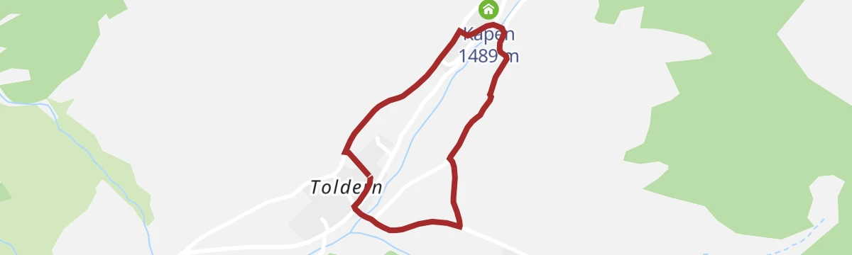
Alpenblumen Rundweg
Short, level loop at Toldern in the Schmirntal where signs introduce the alpine flowers of the surrounding meadows.
- 1.5 km
- Distance
- 26 m
- Ascent
- 25 min
- Duration
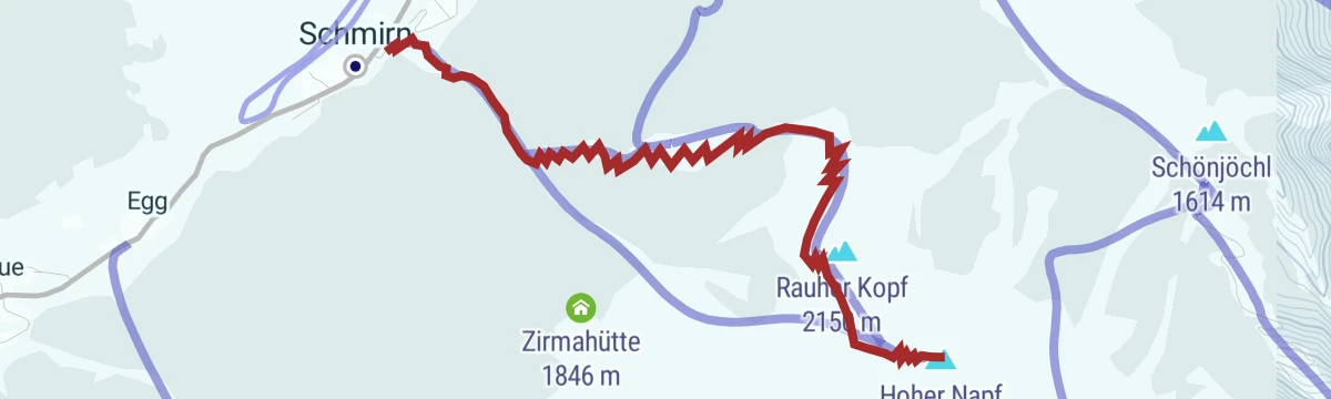
Rundgang Rauher Kopf-Zirmaalm
Round from the Holzebensiedlung above Toldern over the Rauher Kopf and past the Zirmahütte, a moderate Schmirntal circuit.
- 6.3 km
- Distance
- 682 m
- Ascent
- 4 h 8 min
- Duration
- 2
- Check-ins
Rundtour Kleiner Kaserer (3.090)
Big round from Kasern at the head of the Schmirntal over the Kaserer Schartl to the 3,090 m Kleiner Kaserer, returning by the Kleegrubenscharte.
- 14.4 km
- Distance
- 1 456 m
- Ascent
- 8 h 57 min
- Duration
- 9
- Check-ins
Hoher Napf (2.247 m)
Compact ski tour in the Schmirntal near St. Jodok, gaining 800 m from the roadside parking above the church to a panoramic 2,247 m top.
- 3.4 km
- Distance
- 803 m
- Ascent
- 803 m
- Descent
- 2 h 31 min
- Duration
- 3
- Check-ins
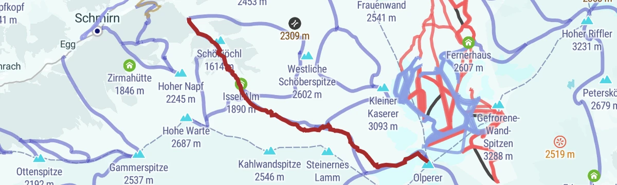
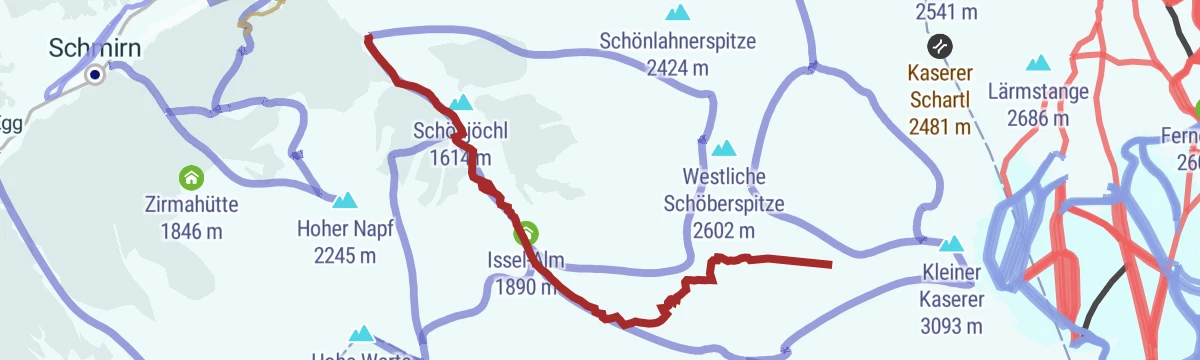
Hohes Mahd - Kleiner Kaserer (3.097 m)
A demanding ski tour from the Wildlahnertal in the Schmirn valley, climbing past the Issel-Alm over steepening slopes towards a 3,097 m summit.
- 6.4 km
- Distance
- 1 347 m
- Ascent
- 1 347 m
- Descent
- 4 h 18 min
- Duration
- 3
- Check-ins
5094 Mountainbike Schmirntalradweg
A short valley track climbing from St. Jodok into the side valley, ending at the farms of Kapen and Kasern at just over 1,600 m.
- 12.7 km
- Distance
- 693 m
- Ascent
- 1 h 52 min
- Duration
- 2
- Check-ins
Rundwanderung Toldern
Easy loop around Toldern in the Schmirntal on farm lanes and meadow paths, a gentle round beneath the valley's high grassy ridges.
- 5.1 km
- Distance
- 242 m
- Ascent
- 1 h 48 min
- Duration
Rundwanderung Durrachjöchl
Round from Kasern past the Florian-Hütte and the Kluppenalm up to the Durrachjöchl saddle, a moderate half-day loop at the head of the Schmirntal.
- 5.5 km
- Distance
- 569 m
- Ascent
- 3 h 29 min
- Duration
- 2
- Check-ins
Staffelsee-Lizumer Reckner (2.886)
Demanding route from Kasern past the Kluppenalm and the Staffelsee to the Recknersattel and up the Lizumer Reckner, the highest point of the Tux Alps.
- 12.4 km
- Distance
- 1 292 m
- Ascent
- 7 h 53 min
- Duration
- 7
- Check-ins
Leiten (2.078)
Short skin starting near the Schmirner Stadl at the road's high point in the Schmirntal, rising 600 m to a quiet 2,078 m grass summit - a solid half-day tour.
- 2.5 km
- Distance
- 612 m
- Ascent
- 612 m
- Descent
- 1 h 54 min
- Duration
- 3
- Check-ins
Hohe Warte (2.676 m)
Ski tour from the Wildlahnertal parking above Toldern to the Hohe Warte, a sustained climb of more than 1,100 m in a quiet Schmirntal side valley.
- 4.8 km
- Distance
- 1 130 m
- Ascent
- 1 130 m
- Descent
- 3 h 33 min
- Duration
- 2
- Check-ins
Senselerweg: Zehenter Alm über Naviser Kreuzjoch bis Toldern
Stage of the Senselerweg, 14.7 km from the Zehenteralm over the Naviser Kreuzjoch to Toldern, passing the Naviser Hütte with 882 m of climb.
- 14.7 km
- Distance
- 1 132 m
- Ascent
- 7 h 51 min
- Duration
Wildlahner Rundtour über Ramsgrubnersee, Schoberspitzen (2.602m) und Steinernes Lamm (2.528m)
Long circuit from the Wildlahnertal over the Ramsgrubner See, the Schoberspitzen and the Steinernes Lamm, a rugged ridge round high above the Schmirntal.
- 13.0 km
- Distance
- 1 374 m
- Ascent
- 8 h 22 min
- Duration
- 7
- Check-ins
 Steinernes Lamm 2 528 m
 Issel-Alm 1 890 m
 Kleegrubenscharte 2 498 m
 Ramsgrubner See 2 369 m
Ultenspitz (2.179)
Moderate ski tour from the Lorleswald parking to the Ultenspitz, a shorter Schmirntal objective with around 700 m of skinning.
- 3.2 km
- Distance
- 713 m
- Ascent
- 713 m
- Descent
- 2 h 15 min
- Duration
- 3
- Check-ins
Jeneweinrinne - Gammerspitze (2.537)
Steep ski tour from near Aue in the Schmirntal to the Gammerspitze with a line through the Jeneweinrinne; over 1,150 m of climbing in under 4 km.
- 4.4 km
- Distance
- 1 167 m
- Ascent
- 1 167 m
- Descent
- 3 h 35 min
- Duration
- 1
- Check-ins
Navis - Naviser Kreuzjöchl - Lizumer Reckner
Marathon ridge day from Navis over the Kreuzjöchl to the Lizumer Reckner, highest of the Tuxer Alps, passing the Naviser Hütte, the Griffjoch and the small Staffelsee.
- 23.5 km
- Distance
- 1 553 m
- Ascent
- 10 h 29 min
- Duration
- 6
- Check-ins
Rauher Kopf (2.151 m)
Short ski tour above Schmirn to the Rauher Kopf, around 700 m of ascent from the road-bend parking beyond the church.
- 2.9 km
- Distance
- 713 m
- Ascent
- 713 m
- Descent
- 2 h 13 min
- Duration
- 2
- Check-ins
Gammerspitze (2.537 m)
Ski tour from the Lorleswald parking in the Schmirntal toward the Gammerspitze, a steady ascent of around 1,100 m on mostly open slopes.
- 4.5 km
- Distance
- 1 090 m
- Ascent
- 1 090 m
- Descent
- 3 h 24 min
- Duration
Hohe Warte (2687m)
Summer route from the Wildlahnertal to the Hohe Warte over the Schönjöchl, a sustained 1,200 m climb with the Olperer group at the head of the valley.
- 11.1 km
- Distance
- 1 209 m
- Ascent
- 7 h 20 min
- Duration
- 3
- Check-ins
Madern (1.975 m)
A short ski tour from Madern at the end of the Schmirntal to the slopes around the Mader-Ochsenalm, a quick outing suited to an evening or a first tour.
- 2.4 km
- Distance
- 382 m
- Ascent
- 382 m
- Descent
- 1 h 17 min
- Duration
- 1
- Check-ins
Westliche Schöberspitze (2.580 m)
Ski tour from the Wildlahnertal parking to the Westliche Schöberspitze, packing over 1,000 m of ascent into a short, steep approach.
- 3.6 km
- Distance
- 1 044 m
- Ascent
- 1 044 m
- Descent
- 3 h 10 min
- Duration
Rundgang Hochgeneinerjöchl-Sumpfkopf (2.332)
Long round from St. Jodok over the Hochgeneinerjöchl to the Sumpfkopf, climbing high above the Schmirntal from a start right by the railway station.
- 14.1 km
- Distance
- 1 312 m
- Ascent
- 8 h 11 min
- Duration
- 3
- Check-ins
Fischer Napf (2.490)
A ski tour from Obern at the head of the Schmirntal, climbing at a fairly even gradient to a 2,490 m top with open slopes for the descent.
- 5.0 km
- Distance
- 841 m
- Ascent
- 841 m
- Descent
- 2 h 48 min
- Duration
Zustieg Geraer Hütte über Steinernes Lamm
Hut approach from the Wildlahnertal past the Issel-Alm and over the Steinernes Lamm to the Geraer Hütte, a stiff climb beneath the Olperer.
- 7.8 km
- Distance
- 1 029 m
- Ascent
- 6 h 2 min
- Duration
- 3
- Check-ins
Sumpfkopf (2.342)
Ski tour to the Sumpfkopf starting at the secluded hamlet by the former Edelrauthütte above Aue, a moderate climb of around 740 m in the Schmirntal.
- 3.6 km
- Distance
- 738 m
- Ascent
- 738 m
- Descent
- 2 h 22 min
- Duration
Padaster-Seaperalm-Sumpfkopf (2.341)
Very steep route from the Padastertal past the Seaperalm onto the Sumpfkopf at 2,341 m, gaining over 1,250 m in about six kilometres.
- 6.9 km
- Distance
- 1 266 m
- Ascent
- 7 h 7 min
- Duration
- 2
- Check-ins
Senselerweg: Toldern über Steinernes Lamm zur Geraerhütte
Stage of the Senselerweg climbing 1,067 m from Toldern by the Steinernes Lamm and the Schönjöchl to the Geraer Hütte, 9.5 km in all.
- 9.5 km
- Distance
- 1 064 m
- Ascent
- 4 h 47 min
- Duration
- 1
- Check-ins
Bergtour Jochgrubenkopf (2.453)
Short, steep summit hike from Glinzen in the Schmirntal past the Seealm to the Jochgrubenkopf, gaining almost 950 m in about 4 km.
- 4.0 km
- Distance
- 949 m
- Ascent
- 5 h 12 min
- Duration
- 1
- Check-ins
Schöberspitzen (2.602m) über Ramsgrubensee
Ascent from the Wildlahnertal past the Ramsgrubner See to the Schöberspitzen at 2,602 m, a steep, direct line above the Schmirntal.
- 4.0 km
- Distance
- 1 045 m
- Ascent
- 5 h 41 min
- Duration
- 1
- Check-ins
- Ramsgrubner See 2 369 m
Rundtour Gammerspitze
Loop from Aue in the Schmirntal onto the Gammerspitze ridge, a long round with over 1,100 m of climbing and open views toward the Zillertal Alps.
- 10.7 km
- Distance
- 1 161 m
- Ascent
- 7 h 2 min
- Duration
No routes of this kind in Schmirn yet.
The region's own picks

Featured route
Wanderung Kaserer Winkl
Easy walk at the head of the Schmirntal from Kasern into the Kaserer Winkl basin, passing the Alpengasthof Kasern on quiet valley paths.
Planning a trip to Schmirn?
Everything else Tyrol has, in one place


Take Schmirn with you into the mountains
Every route on this page with 3D terrain, GPX navigation and offline maps — including the valleys with no signal.
Data sources
- Official website: wipptal.at ↗
- Routes and highlights: Wipptal Tourismus, Region Hall-Wattens, Tourismusverband Stubai Tirol
- Published as open data by the tourist boards named above.
- Region summary generated from the board's own material.
