
Curated by Val Seriana
Schilpario
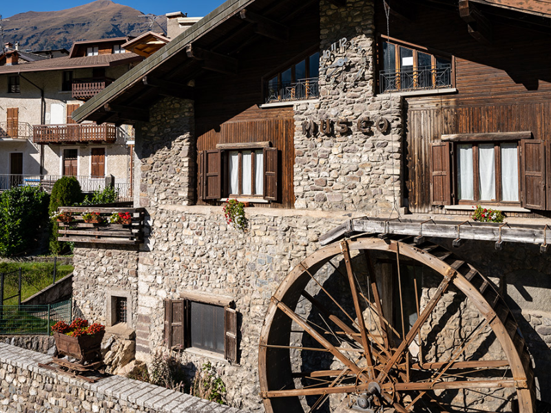
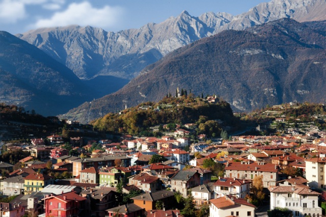
The main village of the Val di Scalve below the Passo del Vivione, with its mining museum and cross-country trails.
- 4Highlights
- 13Routes
Highlights
11 from neighbouring places
Rifugio Passo del Vivione
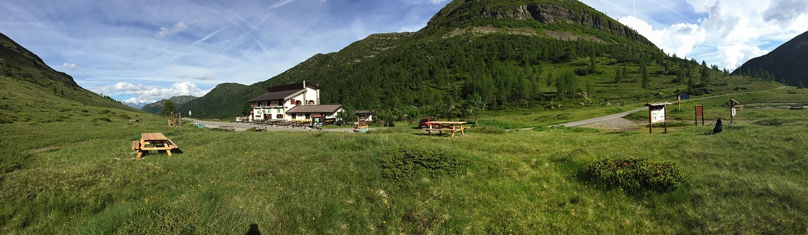
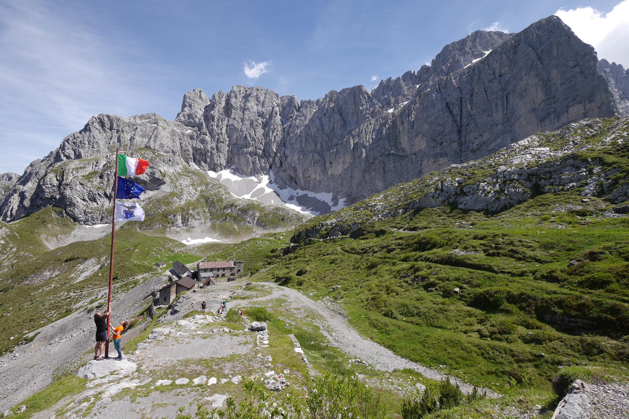
A hut at the Passo del Vivione, the high road pass between the Val di Scalve and the Val Camonica.
MUSEO DEI MINERALI E FOSSILI
A museum of minerals and fossils at Schilpario, drawn from the iron workings of the Val di Scalve.
Museo Etnografico
The ethnographic museum of Schilpario, on the working life of the Val di Scalve.
Rifugio Tagliaferri
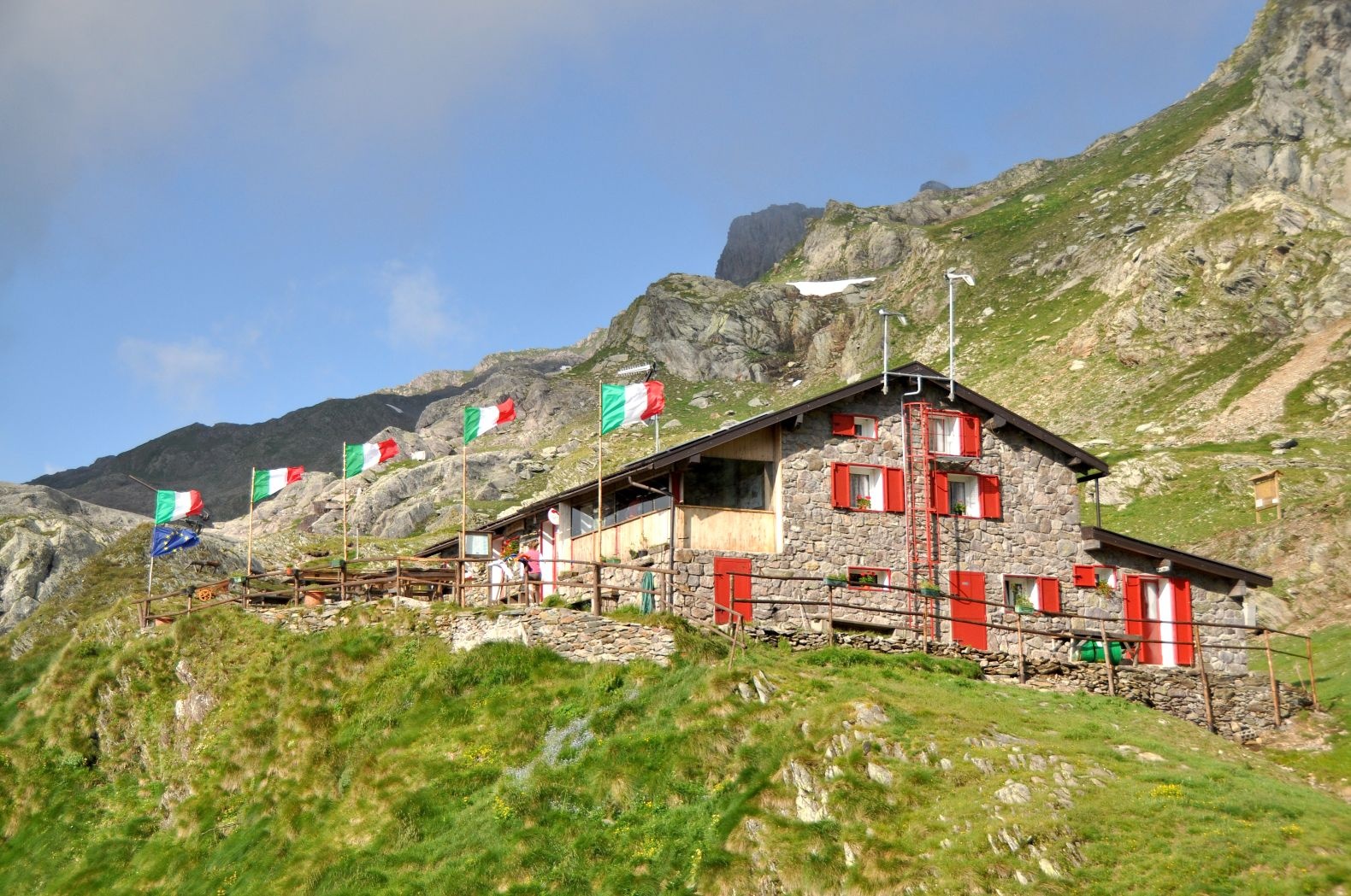
A hut below the Pizzo Camino above Schilpario, in the upper Val di Scalve.
Santuario della Madonnina di Colere
8.3 km away, in Colere
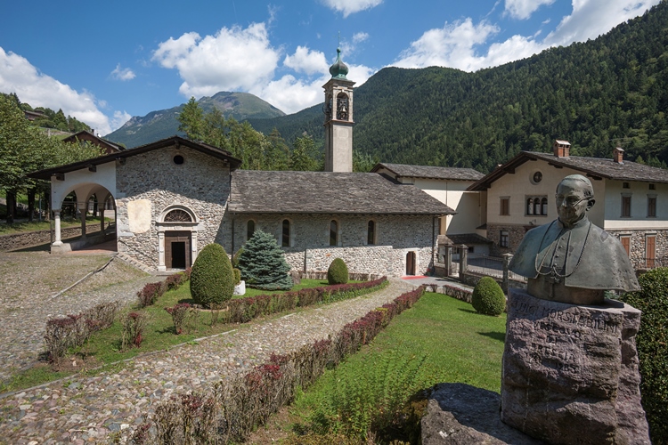
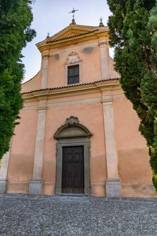
A seventeenth-century sanctuary at Dezzo di Scalve below Colere, built over an earlier shrine.
Santuario di Minerva
10.5 km away, in Breno
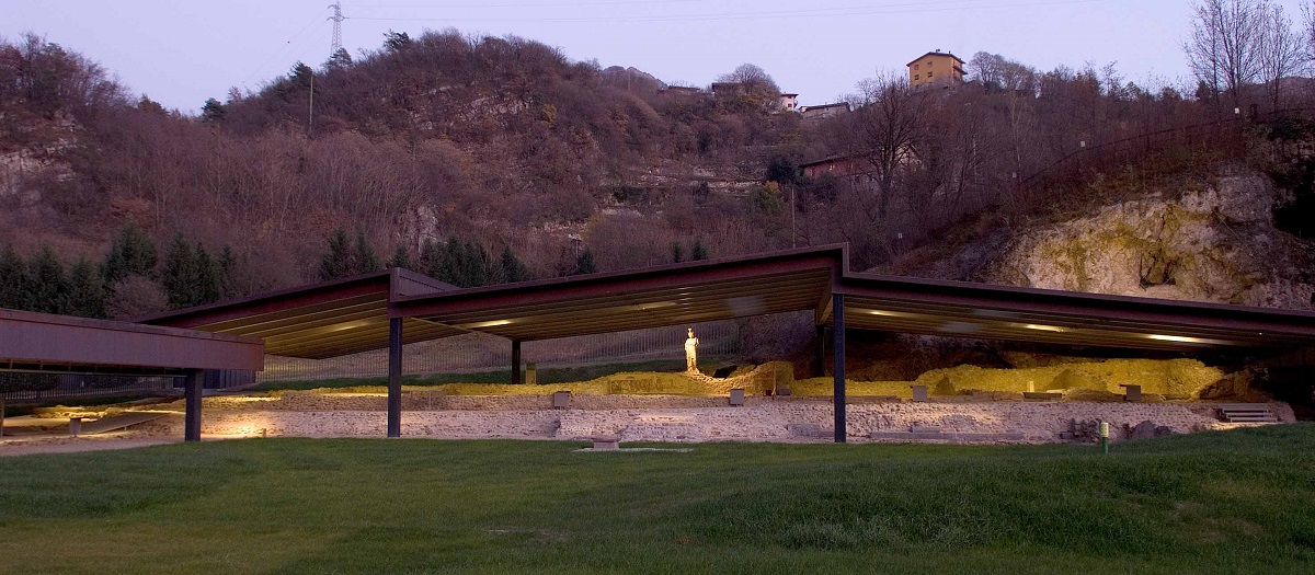
A Roman sanctuary to Minerva at Breno, excavated beside a spring and now covered for visits.
Castello di Breno
11.2 km away, in Breno
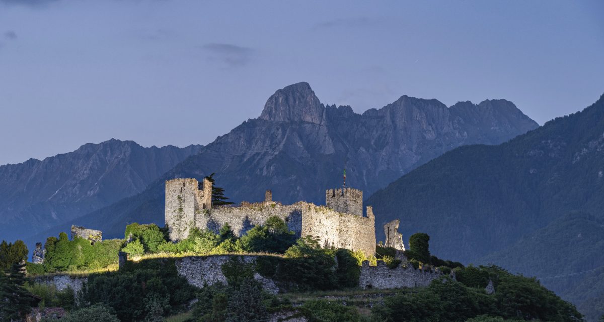
A medieval castle on the rock above Breno, looking down the Val Camonica.
Chiesa di S. Antonio Abate di Breno
11.4 km away, in Breno
The Gothic church of Sant'Antonio Abate in Breno, a Camunian example of the style, with fifteenth-century frescoes.
Vini di carattere arrampicati in Valle Camonica
11.7 km away, in Piancogno
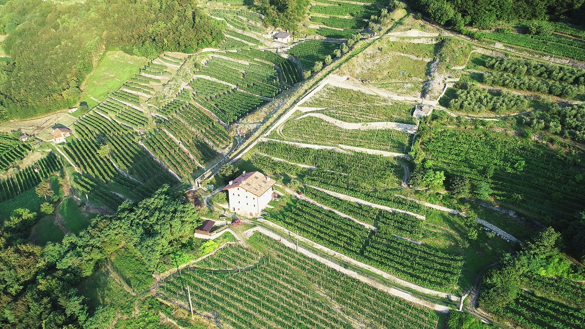
Terraced vineyards climbing the slopes of the middle Camonica valley at Piancogno, below the Annunciata monastery above Piamborno.
Chiesa S. Maria Assunta di Esine
11.8 km away, in Esine
Esine's parish church, its interior covered with a fifteenth-century fresco cycle.
Rifugio Albani
11.9 km away, in Colere
A hut at 1,939 m below the north wall of the Presolana, the base for its hardest climbing routes.
Museo Nazionale Della Preistoria Della Valle Camonica
12.1 km away, in Capo di Ponte
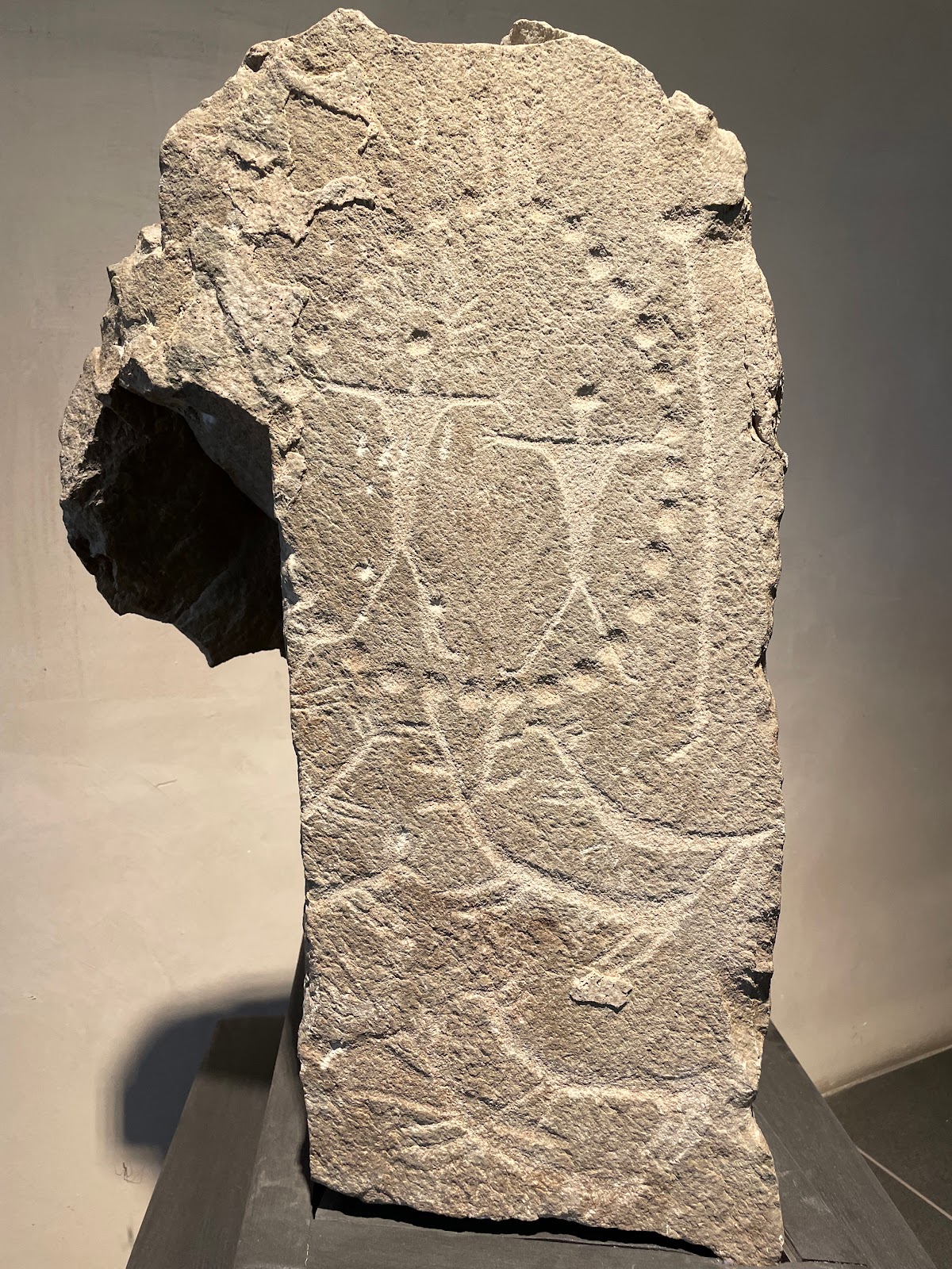
The national prehistory museum at Capo di Ponte, at the centre of the Camonica rock-art World Heritage site.
Mulino e Museo della Vita Contadina di Bienno
12.8 km away, in Bienno
A working watermill at Bienno with a museum of Camunian country life beside it.
Chiesa di San Bernardino
13.5 km away, in Valbondione
The church at Valbondione, at the foot of the path to the Serio waterfalls.
Borgo di Cimbergo, Val Camonica
13.7 km away, in Cimbergo
A stone village on a spur above the Val Paghera, below the ruins of its castle.
 Mountain hut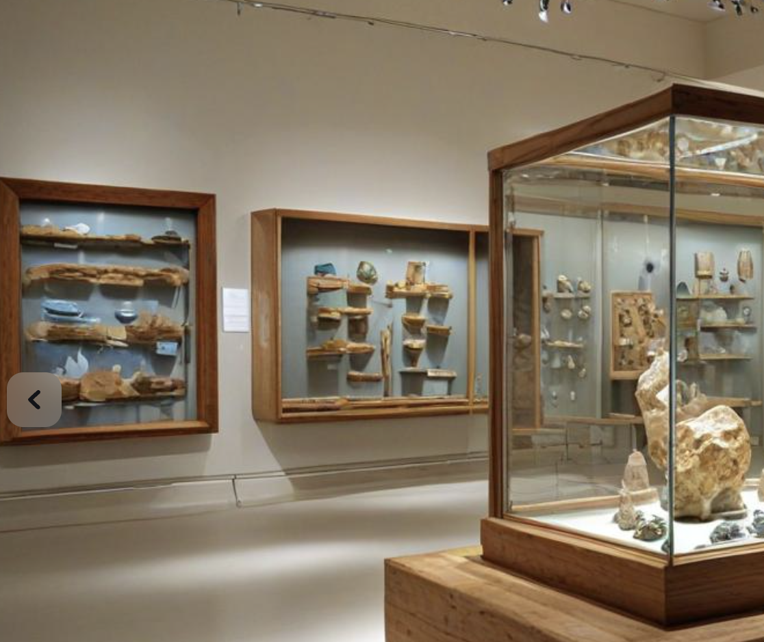
 Historic site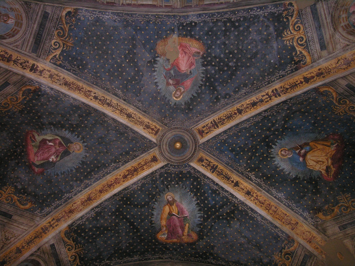
Nothing of this kind in Schilpario.
Routes
Miniera Gaffione (BG) e dintorni di Schilpario
A walk around Schilpario starting with a mine train into the Gaffione workings.
- 3.8 km
- Distance
- 29 m
- Ascent
- 1 h 5 min
- Duration
- 10
- Check-ins
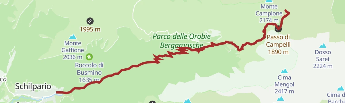
Al Rif. Campione da Fondi di Schilpario
A climb from Fondi di Schilpario up to the Campione hut, on the Bergamo side at the head of the Scalve valley.
- 7.6 km
- Distance
- 719 m
- Ascent
- 3 h 10 min
- Duration
- 198
- Check-ins
Riserva Naturale Boschi del Giovetto
A long walk through the Boschi del Giovetto reserve above Schilpario, protected ground set aside for the red wood ant that nests in its spruce litter.
- 18.0 km
- Distance
- 1 318 m
- Ascent
- 8 h 36 min
- Duration
- 20
- Check-ins
Da Schilpario al rifugio Campione in MTB
A hard ride above Schilpario over the Passo del Giovetto and the Passo di Campelli to Rifugio Campione at 1,946 m, with fast descents between them.
- 28.4 km
- Distance
- 1 275 m
- Ascent
- 3 h 43 min
- Duration
- 189
- Check-ins
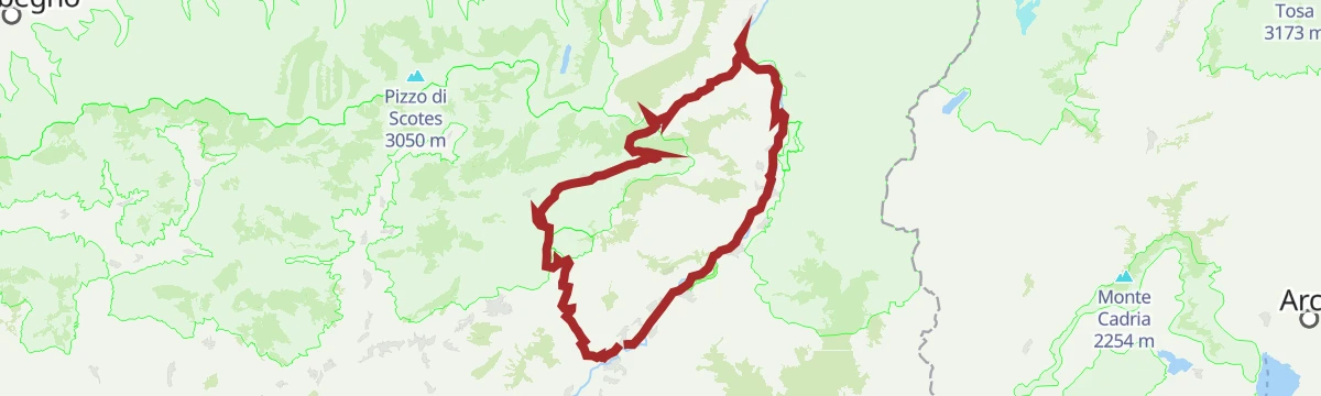
Al Passo del Vivione in Gravel
A gravel loop in the Valle Camonica, starting on the Ciclovia dell'Oglio before the long climb to the refuge at 1,828 m.
- 103.0 km
- Distance
- 2 196 m
- Ascent
- 11 h 12 min
- Duration
- 128
- Check-ins
Tra Val di Scalve e Camonica un Campione d'amore
A climb from Fondi at 1,260 m on the Vivione road above Schilpario, over the divide between the Scalve valley and the Camonica, and walkable in any season.
- 7.0 km
- Distance
- 704 m
- Ascent
- 3 h 3 min
- Duration
- 198
- Check-ins
Da Schilpario al Passo Vivione in MTB
A long, steady climb from Schilpario to the Passo del Vivione at 1,828 m, with Rifugio Cimon della Bagozza and Malga Gaffione en route.
- 21.2 km
- Distance
- 1 205 m
- Ascent
- 3 h 13 min
- Duration
- 123
- Check-ins
Malga di Epolo in e-bike
A long climb through the Val di Scalve, following the Sentiero Lungo to the summer pastures at 1,550 m opposite the Pizzo Camino.
- 27.9 km
- Distance
- 1 418 m
- Ascent
- 3 h 56 min
- Duration
- 63
- Check-ins
In Val Campelli al Rifugio Campione
A climb through the Val Campelli above Schilpario to the Campione hut, at the head of the Scalve valley.
- 10.9 km
- Distance
- 795 m
- Ascent
- 3 h 48 min
- Duration
- 181
- Check-ins
In Mountain bike alla Cascata del Vò
A climb from the tourist office in Schilpario up to the Cascate del Vo' at 1,232 m, with the village in view from the higher sections.
- 17.1 km
- Distance
- 861 m
- Ascent
- 2 h 23 min
- Duration
- 5
- Check-ins
Al Rifugio Cimon della Bagozza
A climb from Schilpario to the Cimon della Bagozza hut, under the limestone crests closing the head of the Scalve valley.
- 6.8 km
- Distance
- 654 m
- Ascent
- 2 h 50 min
- Duration
- 158
- Check-ins
Il giro dei campioni
A loop above Schilpario linking the Campione huts on the ridge between the Scalve and the Camonica valleys.
- 10.8 km
- Distance
- 526 m
- Ascent
- 3 h 53 min
- Duration
- 142
- Check-ins
Al Rifugio Vivione da Schilpario
A climb from Schilpario up towards the Vivione pass to the hut of the same name, on the Bergamo side of the Scalve valley.
- 6.0 km
- Distance
- 692 m
- Ascent
- 2 h 53 min
- Duration
- 39
- Check-ins






No routes of this kind in Schilpario yet.
Planning a trip to Schilpario?
Everything else Lombardy has, in one place


Take Schilpario with you into the mountains
Every route on this page with 3D terrain, GPX navigation and offline maps — including the valleys with no signal.
Data sources
- Official website: valseriana.eu ↗
- Routes and highlights: Val Seriana, Visitbrescia, in Lombardia, Visitbergamo, Italia.it, Astrotourism
- Published as open data by the tourist boards named above.
- Region summary generated from the board's own material.
