
 Historic site
 Cable car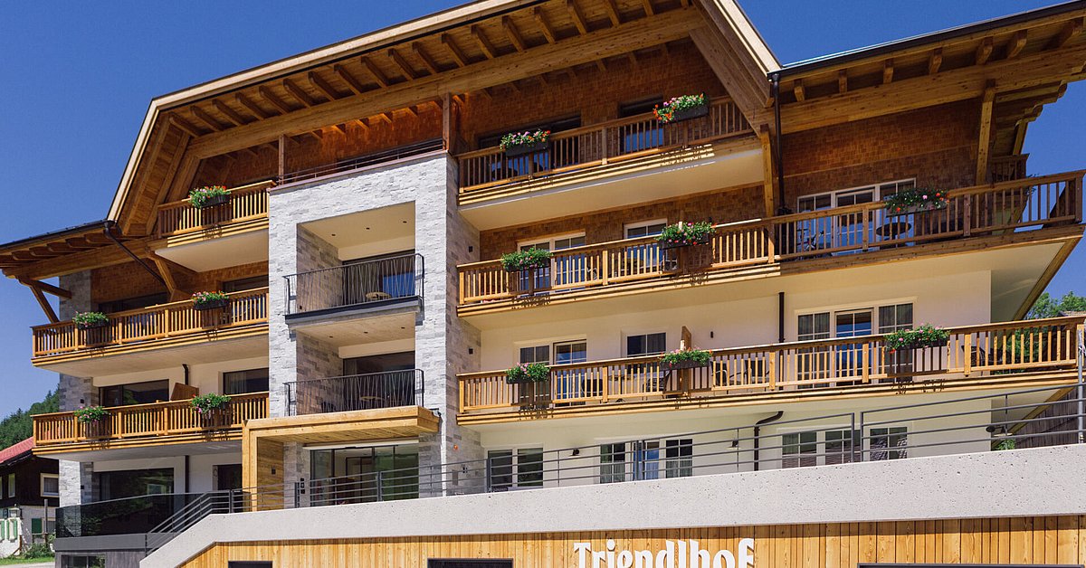
















Curated by Tannheimer Tal
Schattwald
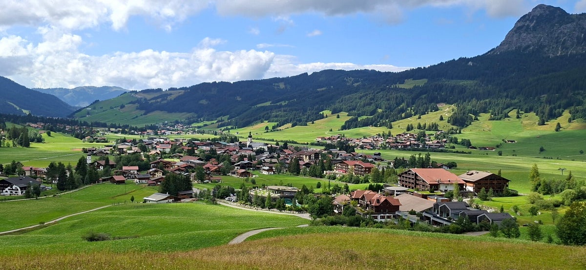
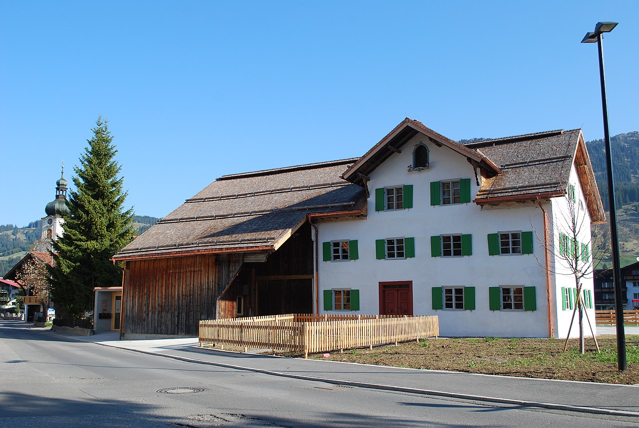
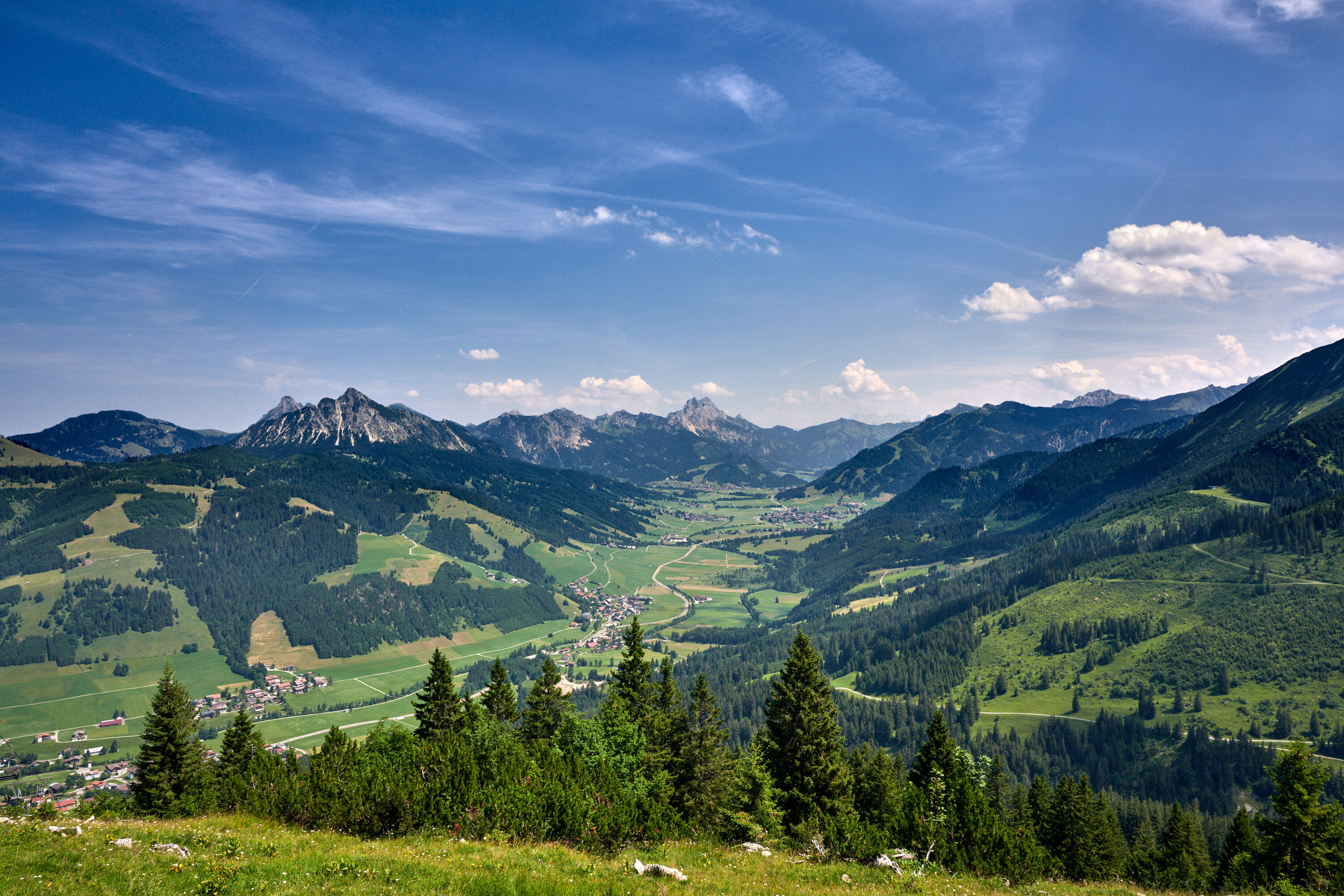
The westernmost village of the Tannheimer Tal on the young Vils, at about 1070 m just below the Oberjoch pass into Bavaria.
- 3Highlights
- 47Routes
- Featured summit · Sorgschrofen
Highlights
12 from neighbouring places
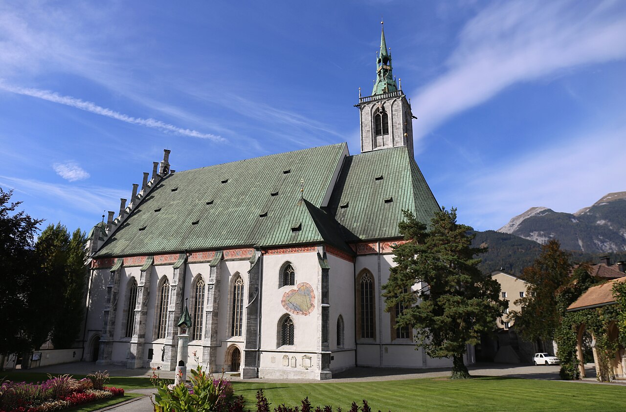
Pfarrkirche Hl. Wolfgang
The parish church of Schattwald in the Tannheimer Tal, dedicated to St Wolfgang and the centre of the village at 1,072 m.
Bergbahnen Tannheimer Tal - Wannenjoch
A lift from Schattwald onto the Wannenjoch, giving access to ridge walks and ski runs on the Allgäu border above the Tannheimer Tal.
Spielplatz "Michl-Land"
A themed playground called Michl-Land at Schattwald, a children's play area at the western end of the Tannheimer Tal.
Wildtierbeobachtungsstand Zöblen
2.6 km away, in Zöblen
A wildlife observation stand at Zöblen in the Tannheimer Tal, set up for quietly watching deer and other game at the forest edge.
am Triendlhof
3 km away, in Zöblen
Farm-based holiday lodging at the Triendlhof in Zöblen, a small village on the sunny side of the Tannheimer Tal.
Spielplatz in Zöblen
3.1 km away, in Zöblen
The village playground of Zöblen at 1,087 m, a free play area for children in one of the Tannheimer Tal's smallest communities.
Bergbahnen Tannheimer Tal - Rohnenspitzbahn
3.2 km away, in Zöblen
A lift from Zöblen toward the Rohnenspitze, serving ski slopes in winter and walking terrain above the western Tannheimer Tal.
Abenteuerspielplatz "Neander-Tal" in Jungholz
5 km away, in Jungholz
An adventure playground called Neander-Tal in Jungholz, with prehistoric-themed play equipment for children in the enclave village.
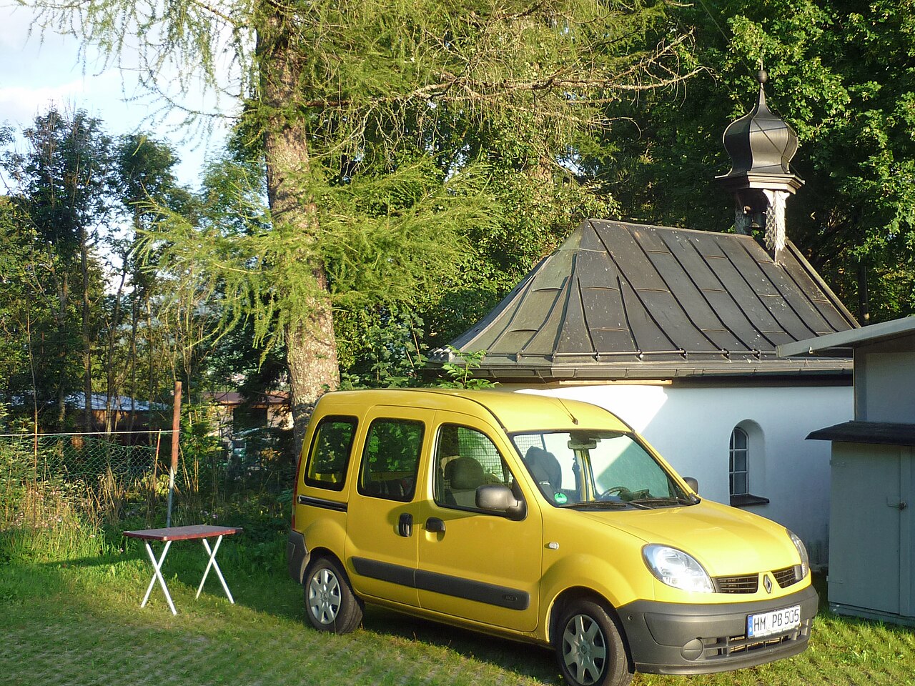
Dreifaltigkeitskapelle Kienzerle
3.9 km away, in Tannheim
A Holy Trinity chapel at Kienzerle near Tannheim, one of the wayside churches strung along the floor of the Tannheimer Tal.
Sportplatz St. Leonhard in Tannheim
4.8 km away, in Tannheim
A sports ground and play area at St Leonhard in Tannheim, used for village games and family recreation in the Tannheimer Tal.
Das Heimatmuseum
4.8 km away, in Tannheim
The local heritage museum of Tannheim, showing tools, furnishings and everyday rural life from the history of the Tannheimer Tal.
Haus Peintner
5.2 km away, in Tannheim
A guesthouse with holiday flats in Tannheim, simple hut-style lodging close to the centre of the Tannheimer Tal's main village.
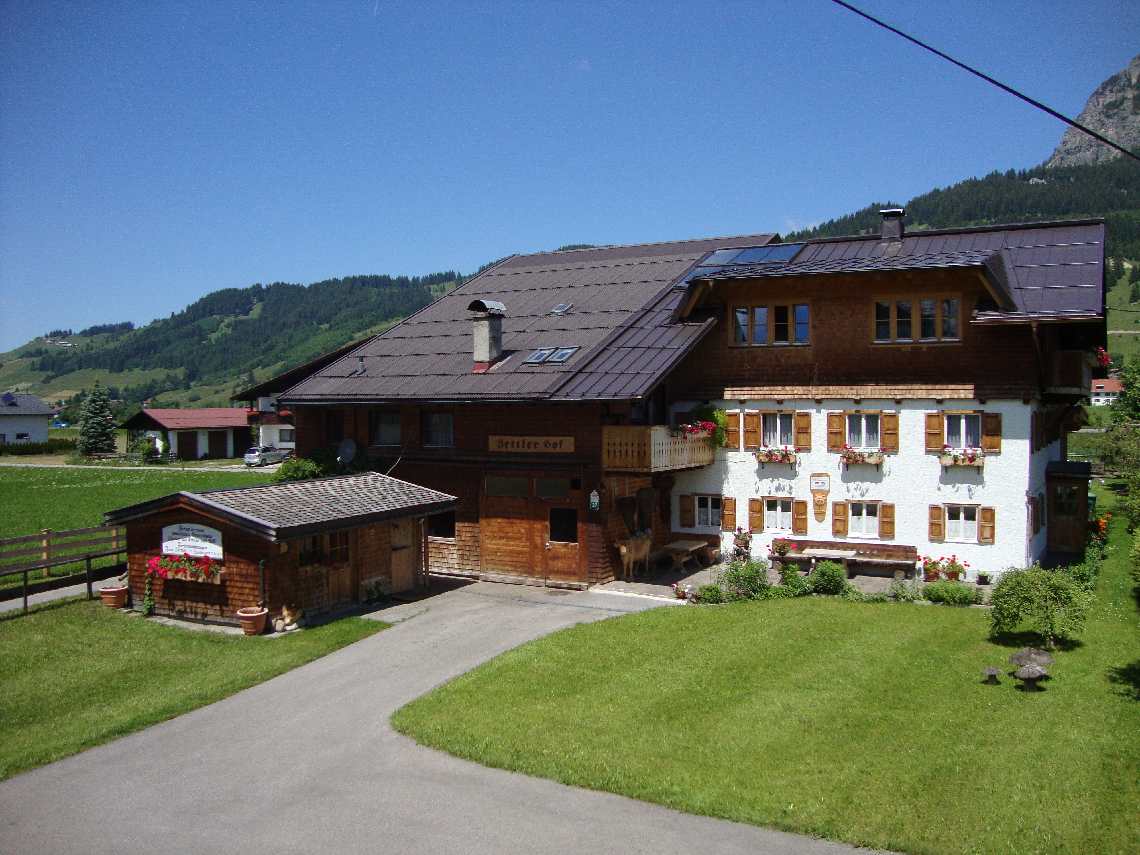
Zettlerhof + Fewo Zettler
5.6 km away, in Tannheim
A farmhouse with holiday flats in Tannheim, offering rural self-catering accommodation on the floor of the Tannheimer Tal.
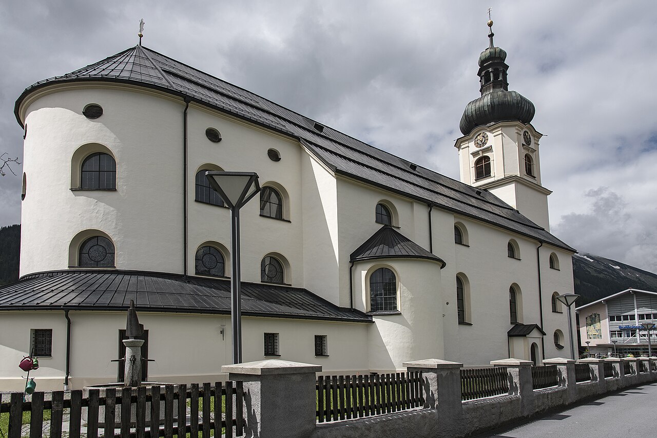
Pfarrkirche St. Nikolaus
5.8 km away, in Tannheim
The baroque parish church of Tannheim, dedicated to St Nicholas and large enough to be known locally as the cathedral of the valley.
Felixé Mina’s Haus in Tannheim
5.9 km away, in Tannheim
A preserved old farmhouse in Tannheim kept as a museum, showing how farming families in the Tannheimer Tal once lived and worked.
Nothing of this kind in Schattwald.
Routes
Themenweg Schmugglersteig
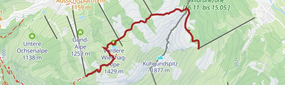
Family theme trail on old smuggling paths over the Allgäu border, from the Schmugglersee past the Wiedhag-Alpe to the Schmugglernest hideout.
- 4.3 km
- Distance
- 243 m
- Ascent
- 1 h 43 min
- Duration
- 26
- Check-ins
Schönkahler
Moderate round from Schattwald onto a grassy border summit and the neighbouring Pirschling, with views over both the Tannheimer Tal and the Allgäu.
- 12.4 km
- Distance
- 773 m
- Ascent
- 5 h 18 min
- Duration
- 46
- Check-ins
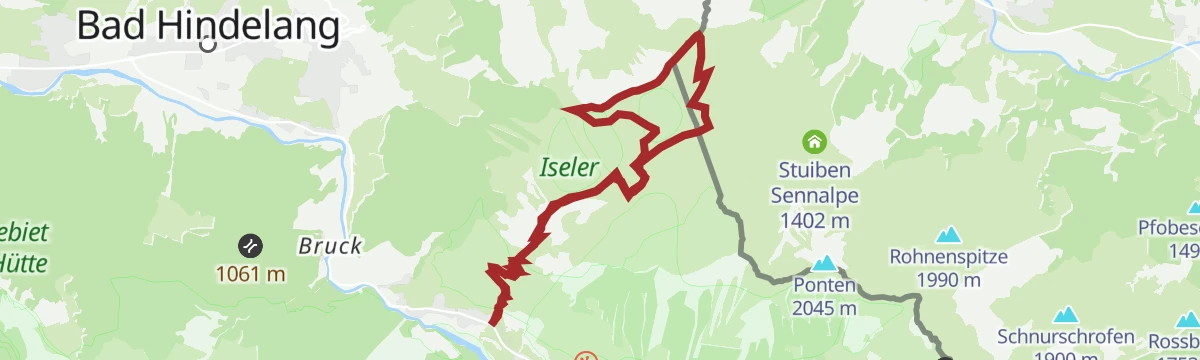
Wannenjoch - Iseler
Sustained ridge circuit from the Wannenjoch over the Iseler, Kühgundkopf and Kühgundspitz, dropping past the Zipfelsalpe — a full day on the Tirol-Allgäu crest.
- 12.2 km
- Distance
- 1 076 m
- Ascent
- 6 h 47 min
- Duration
- 110
- Check-ins
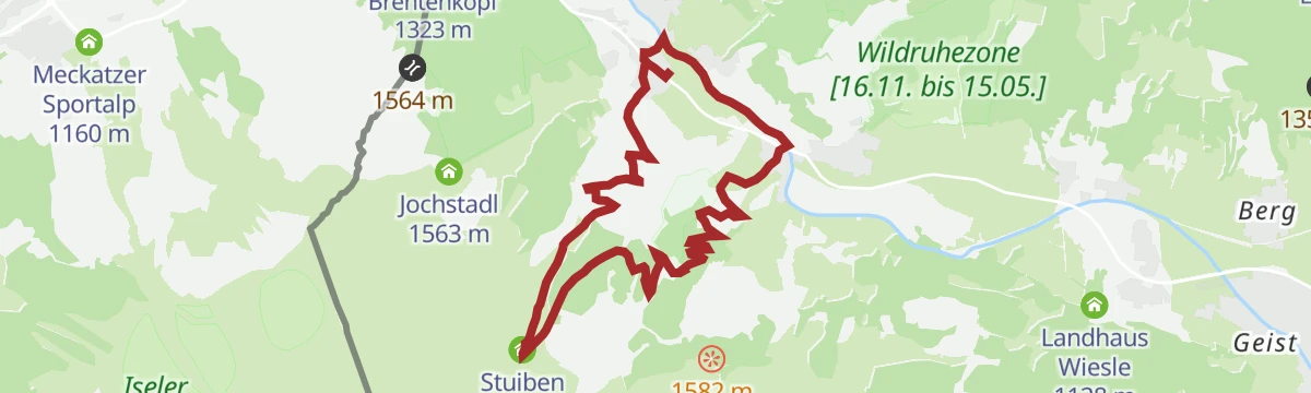
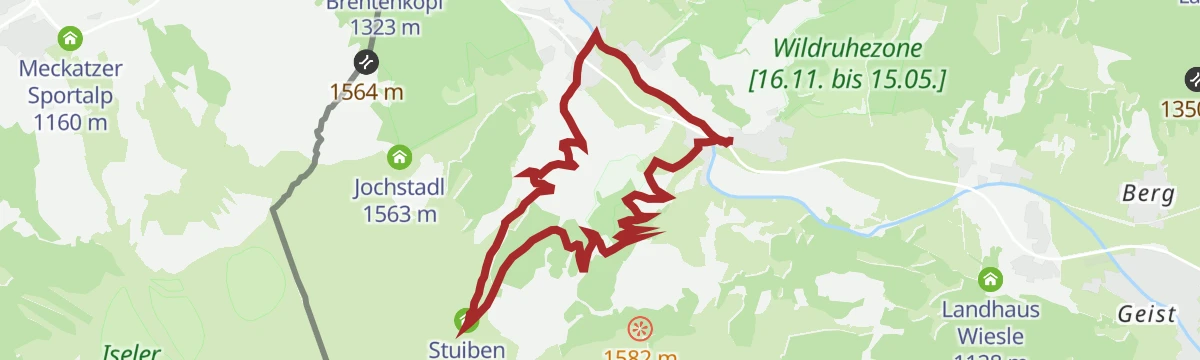
Stuibenrunde in Schattwald
A circuit on the Tannheimer Tal slopes climbing to the dairy below the Stuibenlift, with the village info point at the start.
- 9.0 km
- Distance
- 364 m
- Ascent
- 1 h 9 min
- Duration
- 21
- Check-ins
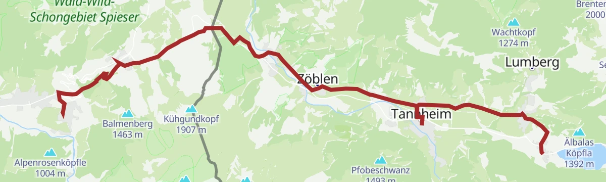
Gravelbike Tour 3.1 - Talumrundung Tannheimer Tal
A forest-road circuit of the Tannheimer Tal from Schattwald, passing the Haldensee shore and Tauscher's Alm before the return through Tannheim.
- 53.7 km
- Distance
- 1 675 m
- Ascent
- 6 h 21 min
- Duration
- 119
- Check-ins
Kleinwalsertalrunde
A long road circuit out of the Kleinwalsertal over the Oberjoch pass, the watershed between the Wertach and the Iller.
- 118.0 km
- Distance
- 2 066 m
- Ascent
- 12 h 25 min
- Duration
- 224
- Check-ins
Schattwald Runde
Easy village round at Schattwald in the upper Tannheim valley, on level paths between the Vils meadows and the wooded lower slopes.
- 4.3 km
- Distance
- 45 m
- Ascent
- 1 h 7 min
- Duration
- 13
- Check-ins
Bergtour über den Sorgschrofen und Zinken
A two-summit mountain walk from Jungholz, climbing past the Schrofen Hütte to the crest and dropping back to the village.
- 11.6 km
- Distance
- 812 m
- Ascent
- 5 h 24 min
- Duration
- 35
- Check-ins
Grenzgänger Etappe 6 - Zipfelsfälle, Iseler, Kühgundkopf & Wannenjoch
Sixth Grenzgänger stage climbing past the Zipfelsalpe onto the border crest over the Iseler and Kühgundkopf to the Wannenjoch above Schattwald; a sustained ridge day between the Allgäu and Tirol.
- 13.6 km
- Distance
- 1 209 m
- Ascent
- 7 h 37 min
- Duration
- 109
- Check-ins
Haldenrunde
A short forest-road loop above Schattwald, climbing to the Berghotel Zugspitzblick at 1,291 m before dropping back to the valley.
- 10.1 km
- Distance
- 374 m
- Ascent
- 1 h 15 min
- Duration
- 16
- Check-ins
Zinkenrunde (8017)
The waymarked version of the Zinken circuit, route 8017, by the Wiedhag alp above Oberjoch.
- 32.3 km
- Distance
- 999 m
- Ascent
- 3 h 48 min
- Duration
- 117
- Check-ins
Königssträssle
A road circuit over the Oberjoch on the old Königssträssle, by way of the Alpe Weiherle.
- 71.2 km
- Distance
- 1 342 m
- Ascent
- 7 h 35 min
- Duration
- 207
- Check-ins
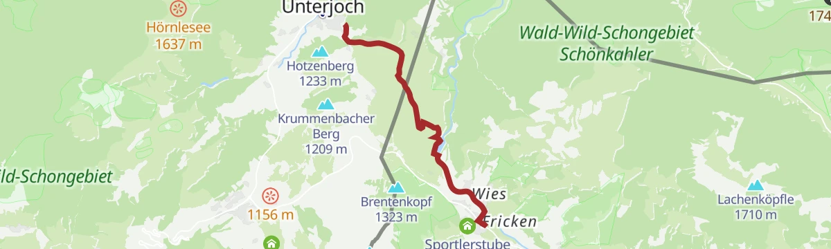
Schattwald - Unterjoch
Level cross-border walk from Schattwald past the Vilsstausee reservoir to Unterjoch in Bavaria — an easy point-to-point along the young Vils.
- 5.6 km
- Distance
- 60 m
- Ascent
- 1 h 28 min
- Duration
- 11
- Check-ins
 Info Schattwald 1 079 m
 Tagesspeicher Vilsstausee 1 049 m
Frickler Berg-Runde
Moderate loop above Schattwald over the Frickler slopes, passing the Berghotel Zugspitzblick — rolling terrain rather than summit climbing.
- 10.6 km
- Distance
- 397 m
- Ascent
- 3 h 28 min
- Duration
- 24
- Check-ins
Von Hinterstein über die Zipfelsalpe zum Kühgundkopf und zum Iseler
A long climb past the Zipfelsfall waterfall and its dairy hut to the Wannenjoch, continuing over the Stuibensattel to three summits.
- 13.5 km
- Distance
- 1 106 m
- Ascent
- 7 h 6 min
- Duration
- 90
- Check-ins
Stuibenrunde
A forest-road loop from Schattwald up to the Stuiben Sennalpe at 1,402 m, returning past the lifts on the Mühlhang side.
- 9.1 km
- Distance
- 359 m
- Ascent
- 1 h 9 min
- Duration
- 13
- Check-ins
Talumrundung
A full circuit of the Tannheimer Tal on forest and alm roads, past the Haldensee campsites and the Tannheimer Hütte valley station.
- 53.1 km
- Distance
- 1 699 m
- Ascent
- 6 h 19 min
- Duration
- 105
- Check-ins
2026_RAD-MARATHON_103 km
The long course of a road marathon out of the Tannheimer Tal, crossing the Oberjoch pass and the Wertach-Iller watershed on the German side.
- 103.4 km
- Distance
- 1 489 m
- Ascent
- 10 h 34 min
- Duration
- 203
- Check-ins
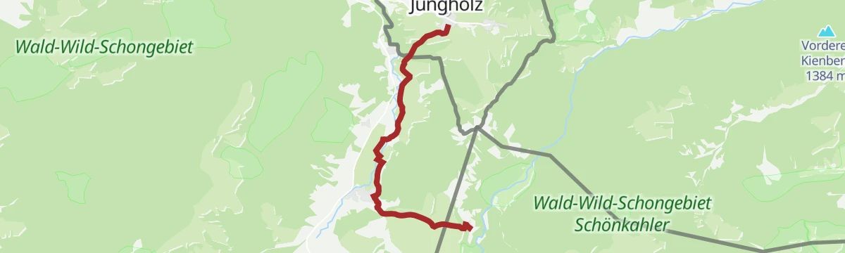
Von Jungholz zum Hotel Rehbach (Schattwald)
An easy, almost level walk from Jungholz across to the neighbouring village of Schattwald, enough for a short half day.
- 6.6 km
- Distance
- 154 m
- Ascent
- 1 h 55 min
- Duration
- 9
- Check-ins
Zipfelsalpe
Climb from Schattwald's Jochstadl over the Stuibensattel to a classic high alp on the Bavarian side of the crest — around 800 m of ascent in all.
- 10.7 km
- Distance
- 799 m
- Ascent
- 5 h 14 min
- Duration
- 19
- Check-ins
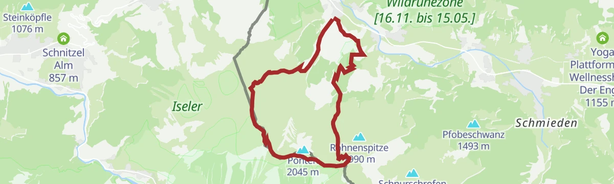
Bscheißer-Ponten-Rohnenspitze
Three-summit ridge round on the Allgäu border above Zöblen, stringing together B'schießer, Ponten and the Rohnenspitze via the Stuibensattel; long, high and steadily panoramic.
- 14.6 km
- Distance
- 1 448 m
- Ascent
- 8 h 56 min
- Duration
- 87
- Check-ins
Zinkenrunde
A round below the Zinken from Schattwald, crossing the Oberjoch watershed on forest roads.
- 33.1 km
- Distance
- 1 014 m
- Ascent
- 3 h 53 min
- Duration
- 100
- Check-ins
Oberjochrunde
A long road circuit from Vils over the Oberjochpass at 1,150 m, crossing the Wertach-Iller watershed and passing the Wiedhag-Alpe.
- 82.7 km
- Distance
- 1 101 m
- Ascent
- 8 h 22 min
- Duration
- 194
- Check-ins
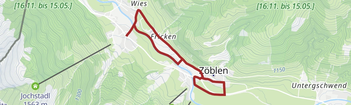
Schattwald - Zöblen - Schattwald
Flat valley-floor loop linking Schattwald and Zöblen along the young Vils, with barely any climbing; an easy walk between two quiet villages at the head of the valley.
- 4.7 km
- Distance
- 58 m
- Ascent
- 1 h 14 min
- Duration
- 5
- Check-ins
Rund um den Sorgschrofen
A circuit right around the mountain from Jungholz, linking the Schrofen Hütte, the Kalbelehof Alpe and the Rehbach hamlet without much height gain.
- 14.5 km
- Distance
- 452 m
- Ascent
- 4 h 31 min
- Duration
- 18
- Check-ins
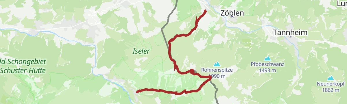
Schattwald - Zöblen Runde (mit dem Tiroler Bergwege-Gütesiegel ausgezeichnet)
Quality-seal border round from Schattwald crossing B'schießer, Ponten and the Rohnenspitze before dropping over the Zirleseck to Zöblen; 1,300 m of climbing on ridge paths.
- 12.2 km
- Distance
- 1 309 m
- Ascent
- 7 h 57 min
- Duration
- 83
- Check-ins
Talumrundung Tannheim (8016)
A waymarked round of the valley on gravel and alm roads, topping the Älbalas Köpfla and passing Schattwald and the Haldensee shore.
- 51.4 km
- Distance
- 1 841 m
- Ascent
- 6 h 18 min
- Duration
- 90
- Check-ins
2026_RAD-MARATHON_66 km
The shorter of the two marathon courses out of the Tannheimer Tal, again over the Oberjoch pass and past the Moorhütte and the Wiedhag-Alpe.
- 65.9 km
- Distance
- 1 087 m
- Ascent
- 6 h 52 min
- Duration
- 186
- Check-ins
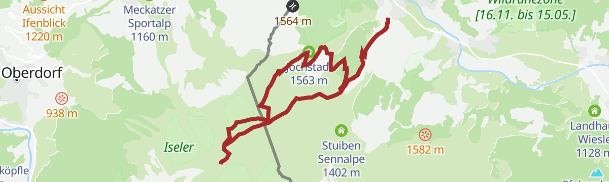
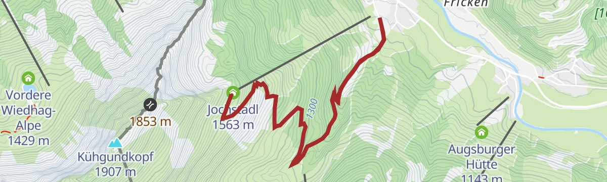
Stube 15.60 in Schattwald
Hillside climb from Schattwald past the Jochstadl to the Sportlerstube, a hut stop on the slopes high above the upper end of the Tannheimer Tal.
- 7.3 km
- Distance
- 490 m
- Ascent
- 3 h 18 min
- Duration
- 16
- Check-ins
Grenzgänger Etappe 1 - Bscheißer, Ponten, Zirleseck und Willersalpe - Hinterstein
Opening stage over the Tannheimer Tal's showpiece pair, the B'schießer and the Ponten, on an easy ridge line, then down by the Willersalpe to Hinterstein.
- 13.0 km
- Distance
- 1 257 m
- Ascent
- 8 h 12 min
- Duration
- 72
- Check-ins
Gravelbike Tour 3.2 - Enge/Vilstal Runde
A gravel round out of the Tannheimer Tal into the Vils valley, past the Dorfer Weiher and the old customs house near the border.
- 34.1 km
- Distance
- 575 m
- Ascent
- 3 h 34 min
- Duration
- 65
- Check-ins
- Forellenteich 930 m
- Fallmühle 935 m
- Restaurant Auszeit 1 080 m
- Werkstatt 930 m
- Dorfer Weiher 865 m
- Altes Zollhaus 1 114 m
- +6
Grüntenrunde
A long circuit from the Tannheimer Tal over the Oberjoch pass and round the foot of the Grünten.
- 81.6 km
- Distance
- 1 247 m
- Ascent
- 8 h 25 min
- Duration
- 185
- Check-ins
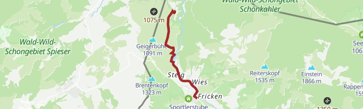
Schattwald - Rehbach
Easy valley walk from Schattwald along the Vils past the Tagesspeicher reservoir to the Landhotel Rehbach — level ground nearly the whole way.
- 8.1 km
- Distance
- 132 m
- Ascent
- 2 h 13 min
- Duration
- 13
- Check-ins
- Info Schattwald 1 079 m
- Tagesspeicher Vilsstausee 1 049 m
- Landhotel Rehbach 1 070 m
Radweg Tannheimer Tal - Radwandern
Valley cycle route running the length of the Tannheimer Tal beside the Vils, linking Schattwald, Tannheim and the Haldensee on almost level ground.
- 19.1 km
- Distance
- 113 m
- Ascent
- 4 h 45 min
- Duration
- 53
- Check-ins
- Tauscher's Alm 1 136 m
- Natur-Camping-Haldensee 1 126 m
- Restaurant Auszeit 1 080 m
- Fischteich 1 080 m
- Haus Schattwald 1 100 m
- Tagesspeicher Vilsstausee 1 049 m
Vilstalrunde
A circuit of the Vils valley past the Dorfer Weiher and the old customs house on the Bavarian border.
- 34.6 km
- Distance
- 544 m
- Ascent
- 3 h 35 min
- Duration
- 65
- Check-ins
- Forellenteich 930 m
- Fallmühle 935 m
- Restaurant Auszeit 1 080 m
- Werkstatt 930 m
- Dorfer Weiher 865 m
- Altes Zollhaus 1 114 m
- +6
GrenzenLoser Radspaß Bad Hindelang Tannheimer Tal
A long day on the road between the Tannheimer Tal and Bad Hindelang, crossing the border at Oberjoch and the Wertach/Iller watershed.
- 116.5 km
- Distance
- 2 351 m
- Ascent
- 12 h 33 min
- Duration
- 181
- Check-ins
Rehbach-Runde
A level round from Schattwald out to Rehbach and back, skirting the small Vilsstausee reservoir on quiet valley paths.
- 10.0 km
- Distance
- 137 m
- Ascent
- 2 h 41 min
- Duration
- 11
- Check-ins
- Info Schattwald 1 079 m
- Tagesspeicher Vilsstausee 1 049 m
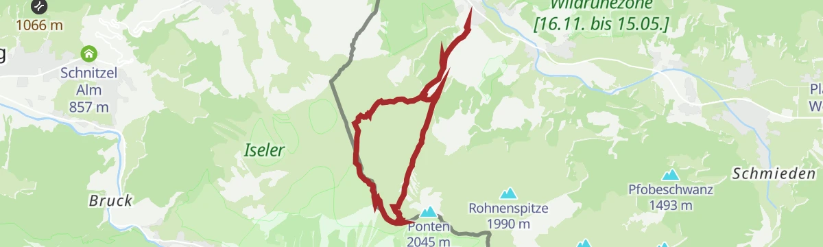
Ponten
Border-ridge ascent above Zöblen past the Stuiben Sennalpe onto a 2,045 m grass summit shared with the Allgäu, taken together with the neighbouring Zirleseck; a solid day at altitude.
- 11.7 km
- Distance
- 1 011 m
- Ascent
- 6 h 24 min
- Duration
- 51
- Check-ins
Engetalrunde
A circuit from the Tannheimer Tal through the Engetal and over the Oberjoch pass.
- 53.5 km
- Distance
- 733 m
- Ascent
- 5 h 26 min
- Duration
- 171
- Check-ins
Wanderung Jungholz - Kühgundspitze
A demanding climb from the village past the Hintere Wiedhag-Alpe and the Schmugglernest to the summit ridge above the Oberjochpass.
- 10.8 km
- Distance
- 993 m
- Ascent
- 6 h 12 min
- Duration
- 44
- Check-ins
Rottachseerunde
A long road circuit from the Tannheimer Tal over the Oberjoch to the Rottachsee and back.
- 107.4 km
- Distance
- 1 563 m
- Ascent
- 11 h
- Duration
- 155
- Check-ins
Bscheißer, Ponten, Zirleseck und das Pontental von Schattwald aus
From Schattwald up to the border crest, collecting B'schießer and the Zirleseck before descending the quiet Pontental past the Augsburger Hütte; a strenuous, view-rich round.
- 12.9 km
- Distance
- 1 015 m
- Ascent
- 6 h 34 min
- Duration
- 33
- Check-ins
Gravelbike Tour 1.1 - Rund um die Tannheimer Berge
A long gravel circuit right around the Tannheimer Berge, from Hohenschwangau past the Alatsee and back below the Tannheimer Hütte valley station.
- 80.7 km
- Distance
- 1 573 m
- Ascent
- 8 h 38 min
- Duration
- 114
- Check-ins
Jakobsweg Etappe 5 Haldensee - Bad Hindelang
Jakobsweg stage from the Haldensee down the Tannheim valley and over the Oberjoch into Bad Hindelang; long but gently graded, following the pilgrim route out of Tirol into the Allgäu.
- 19.8 km
- Distance
- 260 m
- Ascent
- 5 h 16 min
- Duration
- 33
- Check-ins
Gravelbike Tour 3.1 - Talumrundung Tannheimer Tal
A gravel circuit of the whole valley from Schattwald to the Haldensee, taking in the Älbalas Köpfla and nearly 2,000 m of climbing.
- 53.7 km
- Distance
- 1 954 m
- Ascent
- 6 h 37 min
- Duration
- 105
- Check-ins
Bscheißer
Direct ascent from the Tannheim valley past the Stuiben Sennalpe and the Stuibensattel onto a 2,000 m border summit overlooking the Allgäu; steep alm paths, then open ridge.
- 10.1 km
- Distance
- 909 m
- Ascent
- 5 h 43 min
- Duration
- 21
- Check-ins
Gravelbike Tour 3.2 - Enge/Vilstal Runde
A gravel round linking the Enge and the Vils valley, past the Dorfer Weiher and the old customs house.
- 34.1 km
- Distance
- 562 m
- Ascent
- 3 h 33 min
- Duration
- 65
- Check-ins
- Forellenteich 930 m
- Fallmühle 935 m
- Restaurant Auszeit 1 080 m
- Werkstatt 930 m
- Dorfer Weiher 865 m
- Altes Zollhaus 1 114 m
- +6
No routes of this kind in Schattwald yet.
The region's own picks
Featured route
Themenweg Schmugglersteig
Family theme trail on old smuggling paths over the Allgäu border, from the Schmugglersee past the Wiedhag-Alpe to the Schmugglernest hideout.
Planning a trip to Schattwald?
Everything else Tyrol has, in one place


Take Schattwald with you into the mountains
Every route on this page with 3D terrain, GPX navigation and offline maps — including the valleys with no signal.
Data sources
- Official website: tannheimertal.com ↗
- Routes and highlights: Tannheimer Tal, Lechtal Tourismus, Naturparkregion Reutte
- Published as open data by the tourist boards named above.
- Region summary generated from the board's own material.
