
 Mountain hut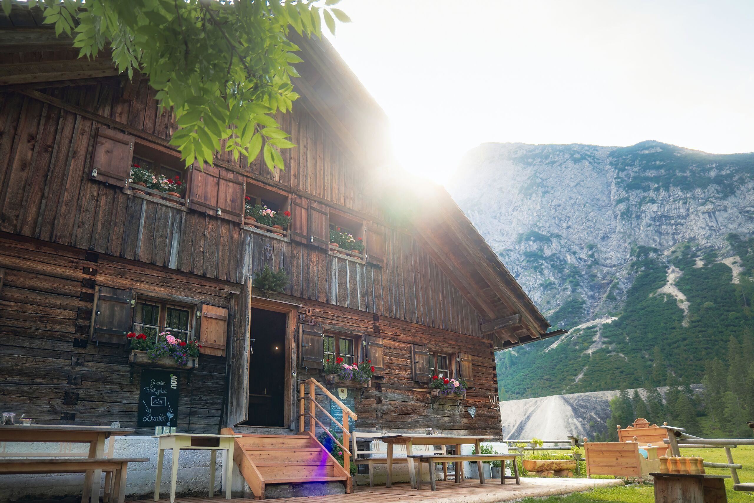
 Historic site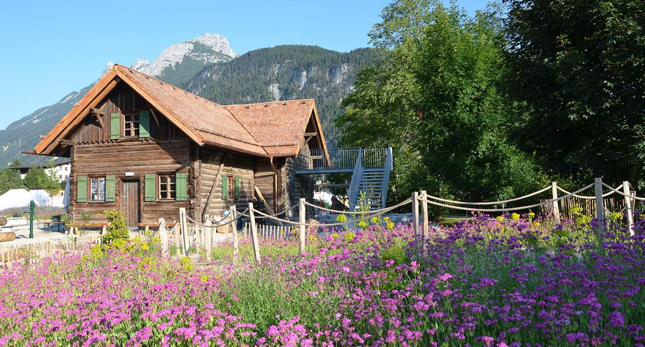














Curated by Region Seefeld
Scharnitz
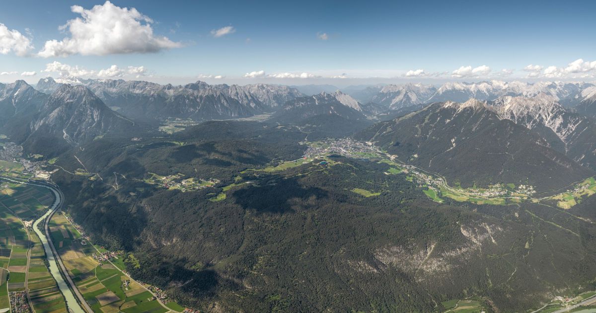
The border village on the old Mittenwald road at 964 m, gateway into the Karwendel's long gravel valleys and the source of the Isar.
- 16Highlights
- 70Routes
- Featured summit · Birkkarspitze
Highlights
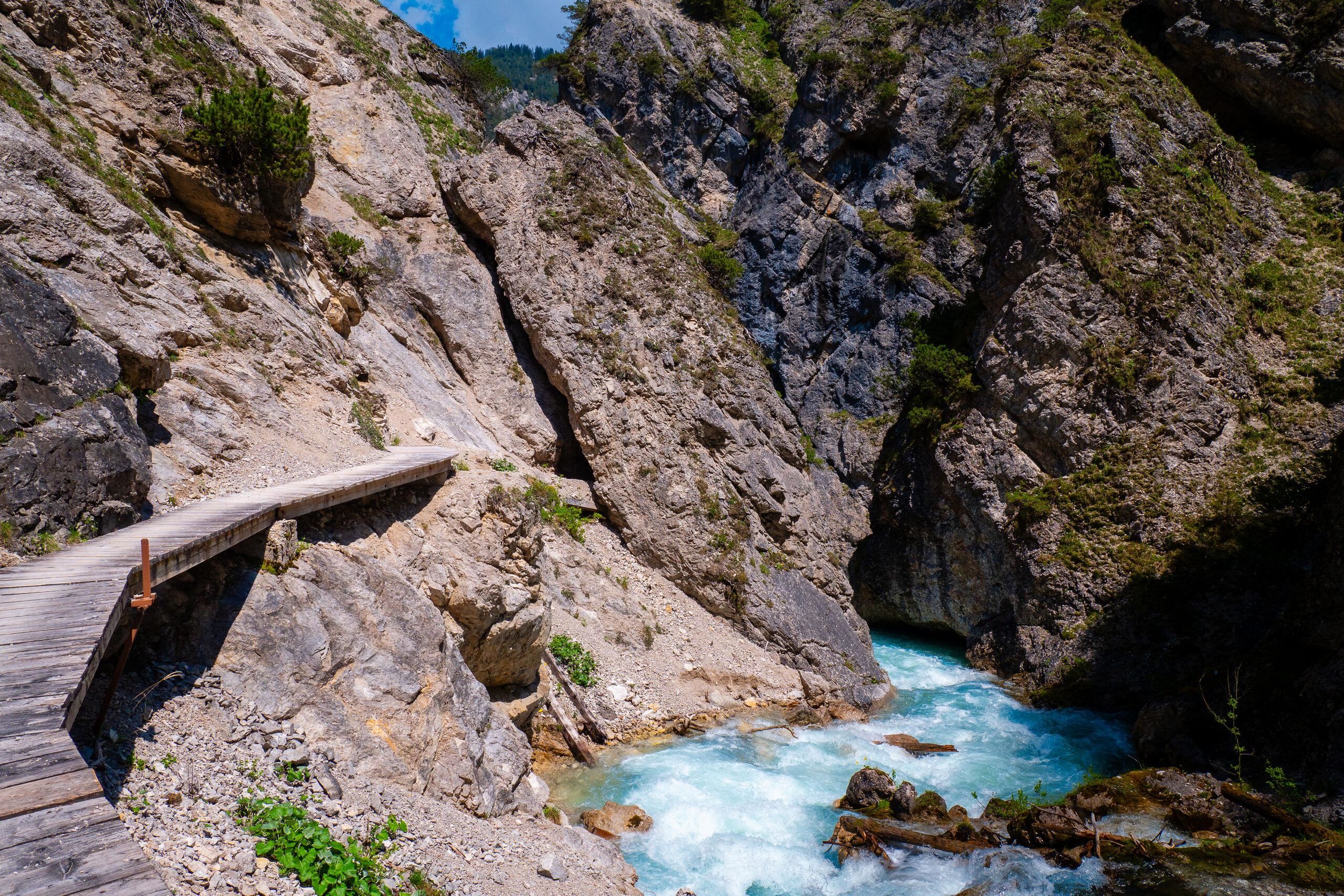
Gleirschklamm
A gorge on the Gleirschbach near Scharnitz, once used for timber drifting and now followed by a marked path with wooden walkways.
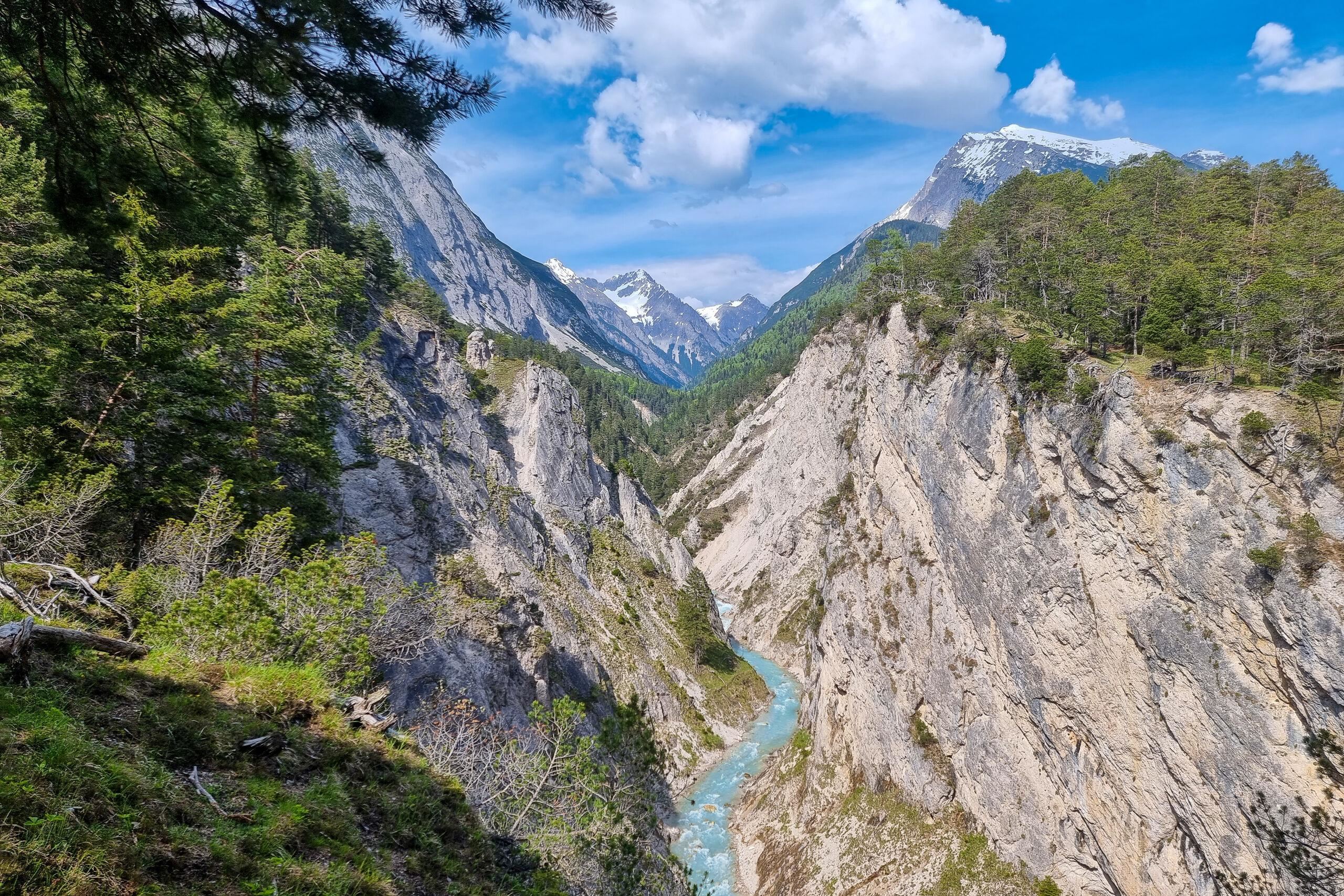
Karwendelschlucht
A gorge at the entrance to the Karwendeltal near Scharnitz, where a track and path lead into the long valley toward the Karwendelhaus.
Isarursprung
The source area of the Isar river in the Hinterautal east of Scharnitz, where streams from the Karwendel join to form the young river.
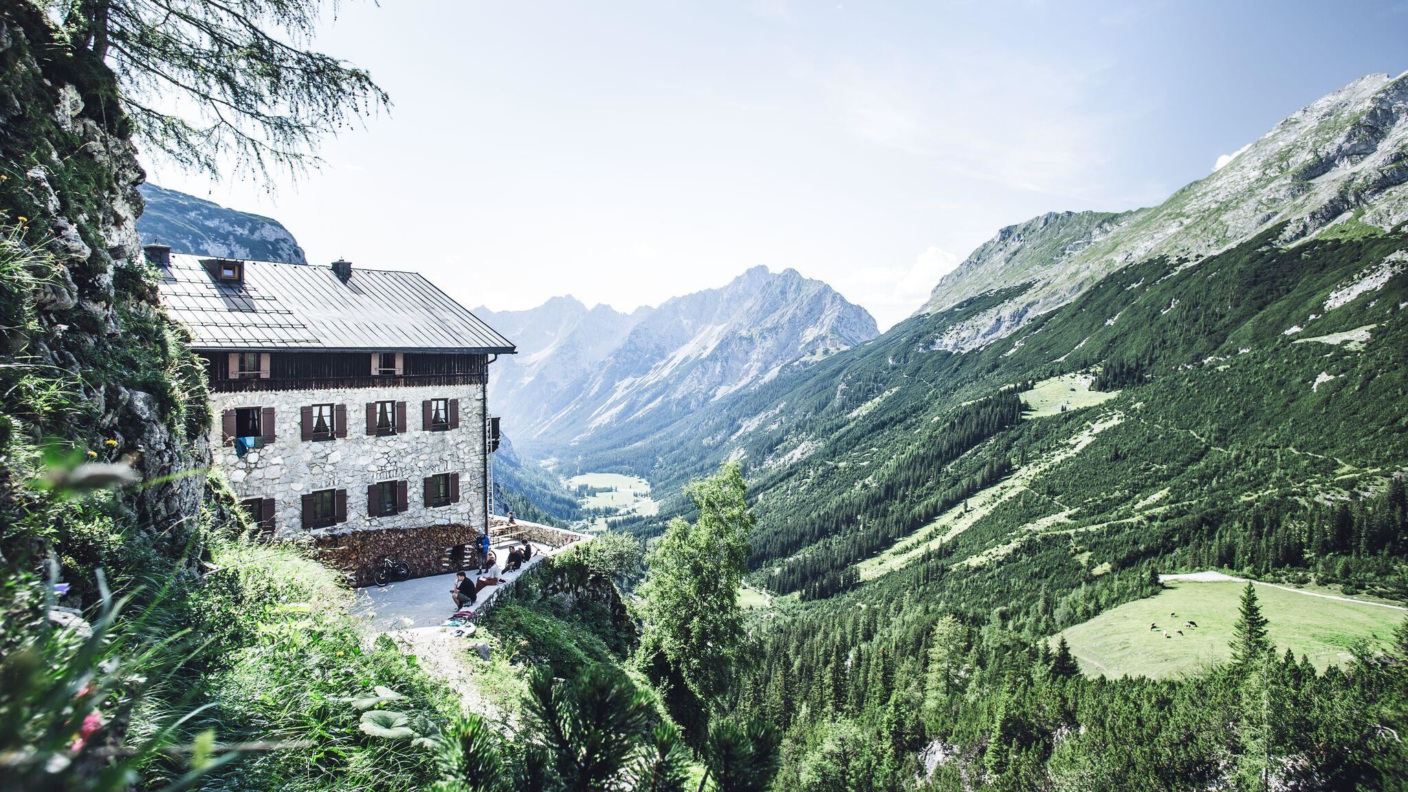
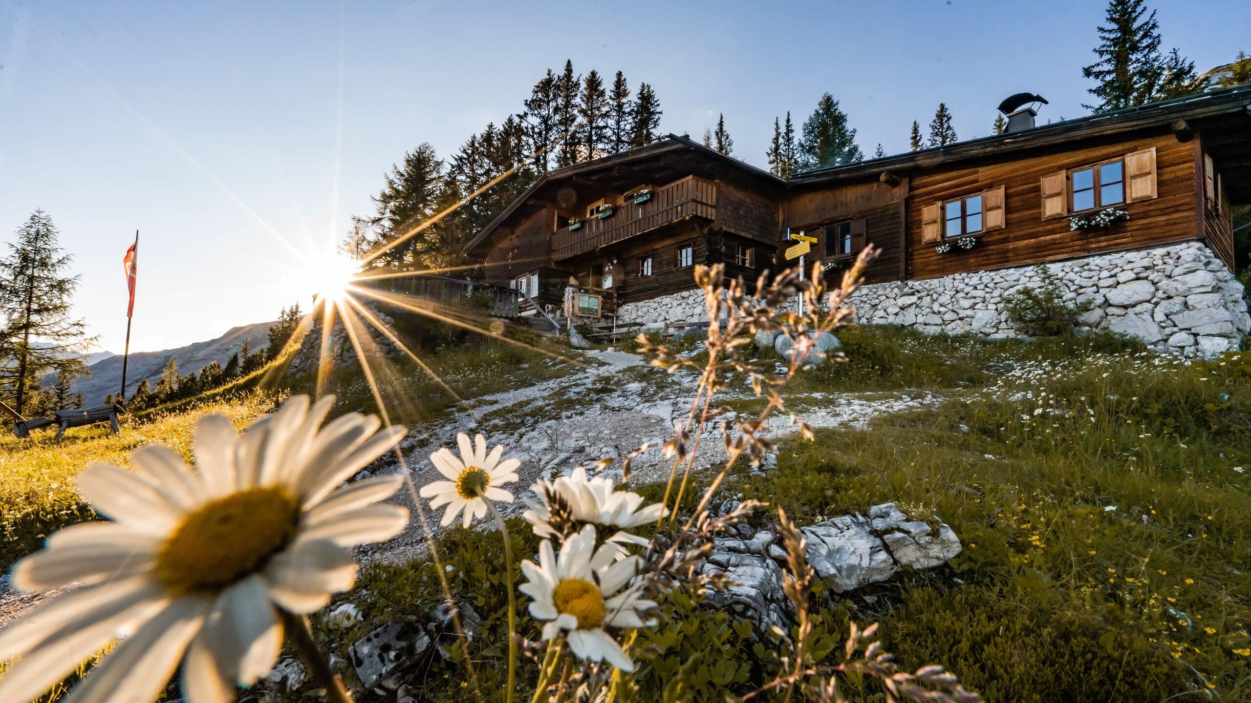
Karwendelhaus
An Alpine Club hut at about 1,770 m at the head of the Karwendeltal above Scharnitz, a key overnight stop on the Karwendel crossing.
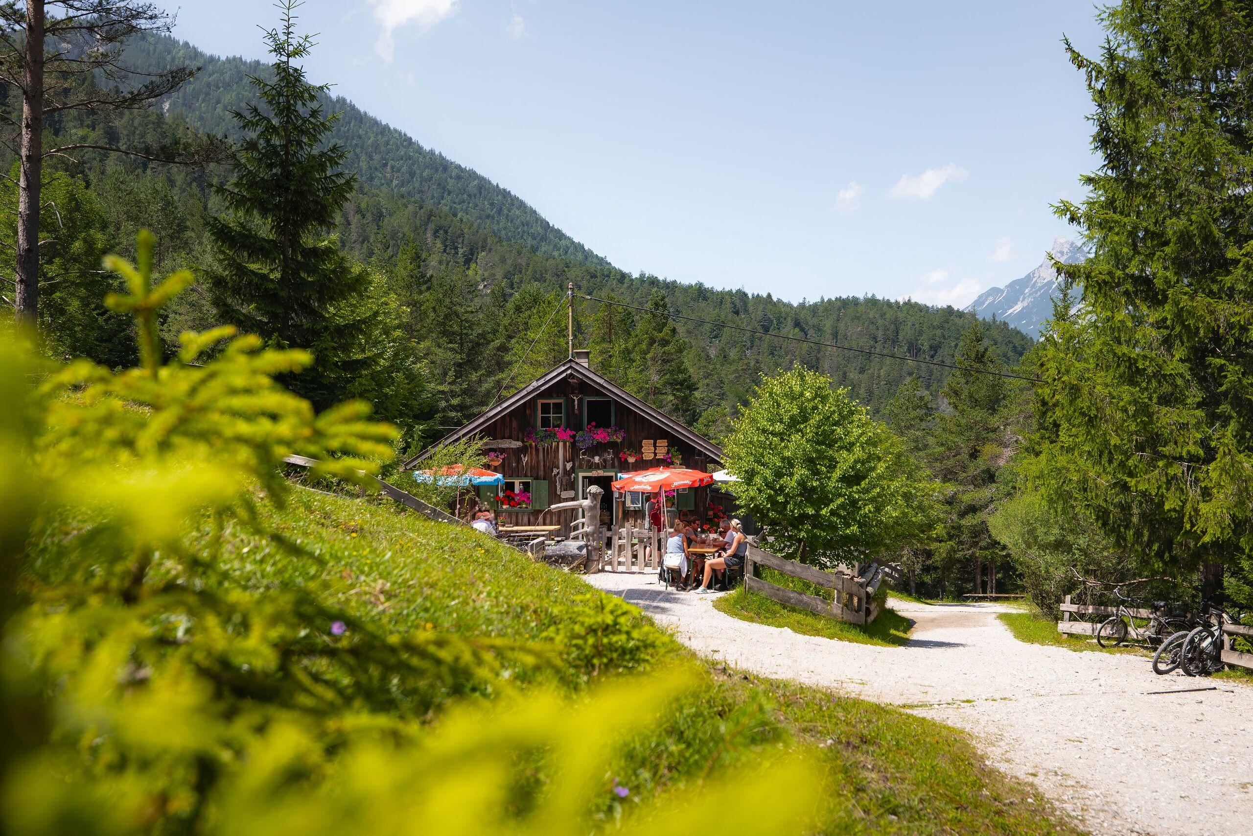
Kastenalm
An alm in the Hinterautal above Scharnitz near the young Isar, a level bike-and-walk destination deep in the Karwendel.
Oberbrunnalm
An alm above Scharnitz and Gießenbach on the way toward the Erlspitze group, a serviced stop in the western Karwendel.
Pleisenhütte
A hut high on the Pleisenspitze above Scharnitz, open in summer and winter as a base for the climb to the summit ridge.
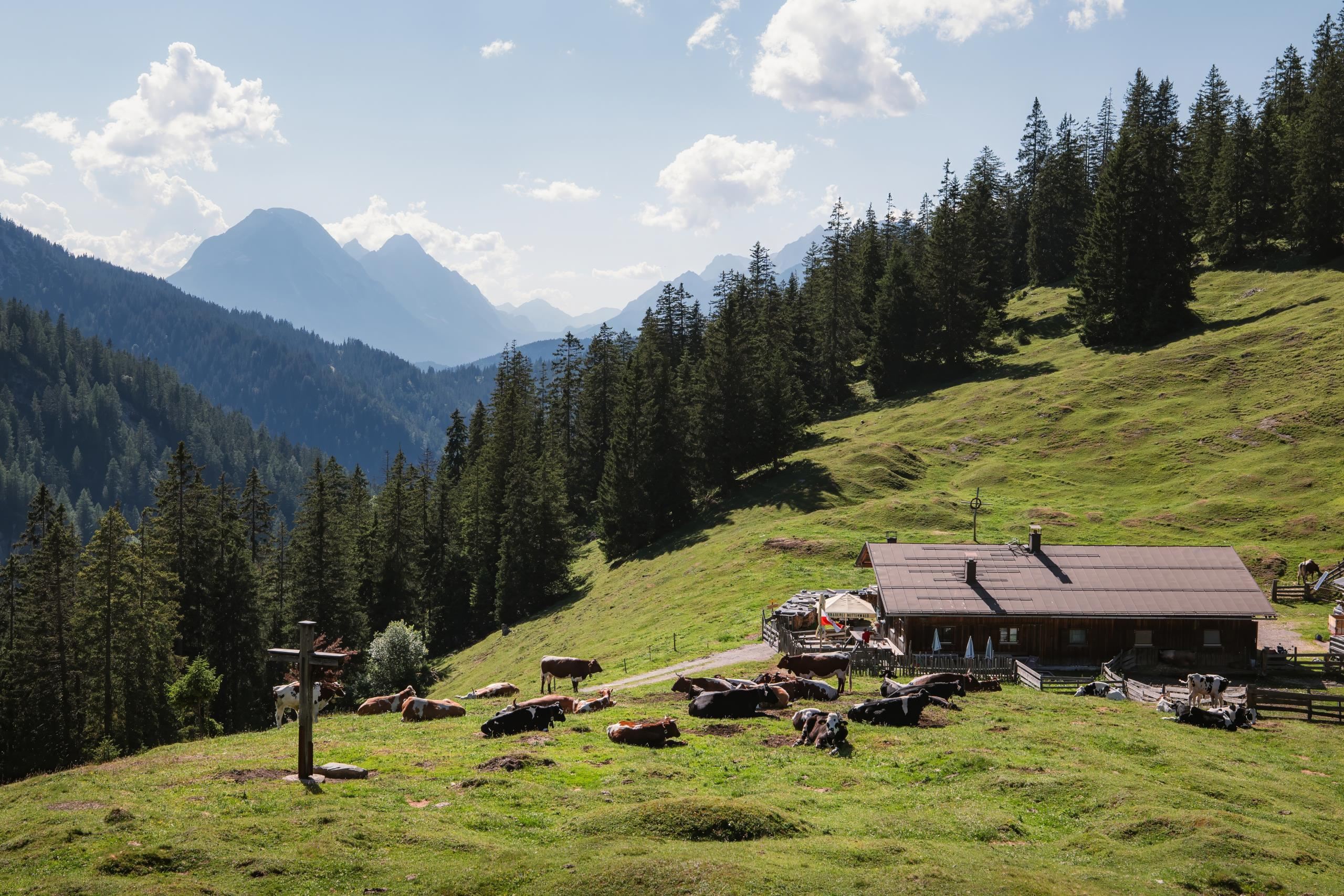
Scharnitzer Alm
The village alm of Scharnitz on the slopes above the Isar valley, an easily reached serviced pasture at the Karwendel's edge.
Birzlkapelle
A small chapel near Scharnitz at the northern edge of the Seefeld plateau, close to the old route across the border into Bavaria.
Pfarrkirche Maria Hilf
Scharnitz's parish church, dedicated to Mary Help of Christians; the village at 964 m grew around the pass road from Tirol into Bavaria.
Porta Claudia
The remains of a 17th-century fortification at Scharnitz, named after Claudia de' Medici and built to guard the pass between Tirol and Bavaria.
Museum Holzerhütte
A museum in a preserved loggers' hut at Scharnitz, recalling the timber work and log driving of the Karwendel valleys.
Natur-Erlebnis-Spielplatz
A nature-themed adventure playground in Scharnitz with timber and water play elements at the edge of the Karwendel valleys.
Spielplatz am Auweg
A village playground on the Auweg in Scharnitz, a small free play area for local and visiting families.
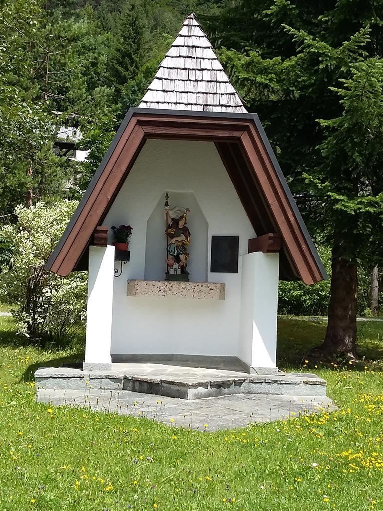
Florianikapelle
A chapel to St. Florian, the patron invoked against fire, standing at the edge of Scharnitz near the young Isar.
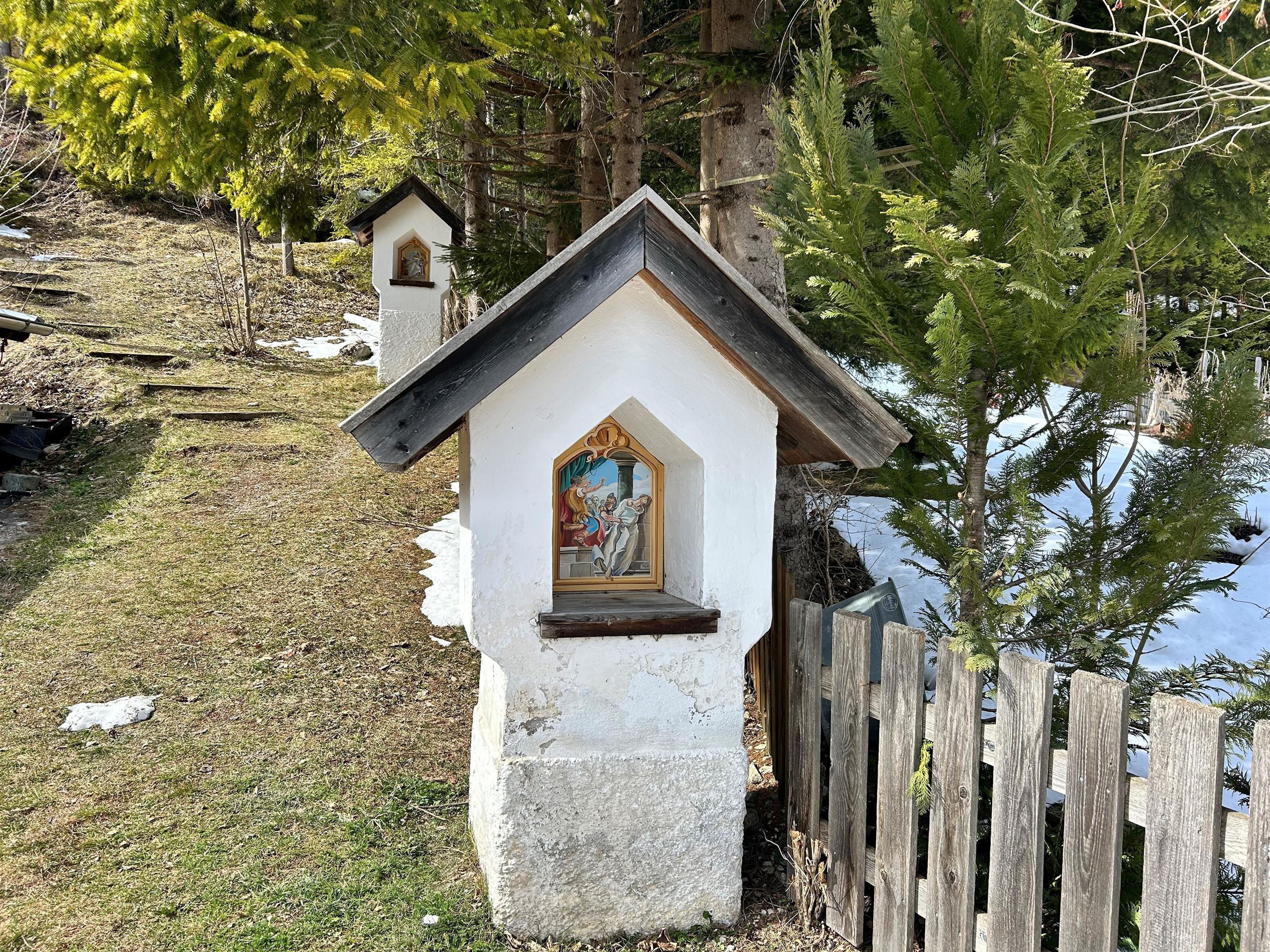
Kalvarienberg Scharnitz
Scharnitz's Calvary hill, a stations-of-the-cross path rising above the village near the Isar at 964 m.
Nothing of this kind in Scharnitz.
Routes
50 routes, an even mix of activities · see the rest on seefeld.com ↗
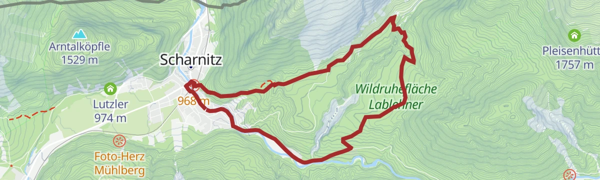
Rundwanderung Scharnitzer Alm
Easy 5.1 km loop from Scharnitz to the Scharnitzer Alm, with a Kneipp pool for cold feet and views of the Isar.
- 5.1 km
- Distance
- 107 m
- Ascent
- 1 h 27 min
- Duration
- 35
- Check-ins
Etappe 2: Vom Karwendelhaus zur Falkenhütte – Die klassische Karwendeldurchquerung
Karwendel crossing stage of 12.1 km from the Karwendelhaus by the Kleiner Ahornboden to the Falkenhütte, under the Laliderer walls.
- 12.1 km
- Distance
- 565 m
- Ascent
- 4 h 10 min
- Duration
- 78
- Check-ins
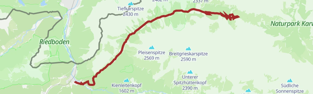
Bergtour zur Pleisenspitze, 2.569 m
Demanding 21 km ascent from Scharnitz to the 2,569 m Pleisenspitze, 1,600 m of steep climbing with the Pleisenhütte for a stop.
- 21.0 km
- Distance
- 1 597 m
- Ascent
- 10 h 25 min
- Duration
- 57
- Check-ins
Biketour Nr. 5033 Eppzirler Alm
A forest-road climb into the Eppzirl valley, passing the Eppzirltalblick viewpoint on the way up to the alm at 1,455 m.
- 13.3 km
- Distance
- 447 m
- Ascent
- 1 h 36 min
- Duration
- 9
- Check-ins
Bike Trail Tirol Etappe 06: Ehrwald-Scharnitz
A long stage of the Tirol traverse, running from Ehrwald over the Ehrwalder Alm and past the Weidachsee towards Scharnitz.
- 39.8 km
- Distance
- 899 m
- Ascent
- 4 h 23 min
- Duration
- 176
- Check-ins
Bike & Hike Birkkarspitze, 2.749 m
A long valley ride from Scharnitz to the Karwendelhaus, where the bike is left for the walk up to the Schlauchkarsattel at 2,623 m.
- 39.9 km
- Distance
- 1 982 m
- Ascent
- 5 h 31 min
- Duration
- 61
- Check-ins
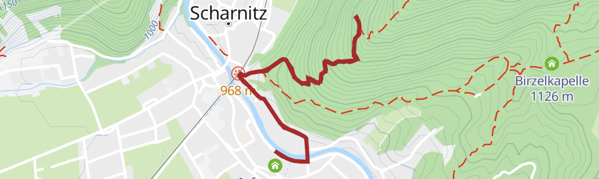
Wanderung zur Birzlkapelle
Easy 5.3 km walk on forest tracks from Scharnitz to the Birzlkapelle, rising gently by 175 m.
- 5.3 km
- Distance
- 172 m
- Ascent
- 1 h 40 min
- Duration
- 20
- Check-ins
Rundwanderung Gleirschhöhe
An 8.7 km round from Scharnitz on the Isarsteig to the Gleirschhöhe at 1,074 m, passing the Scharnitzer Alm above the Hinterautal.
- 8.7 km
- Distance
- 209 m
- Ascent
- 2 h 33 min
- Duration
- 39
- Check-ins
Etappe 1: Von Scharnitz zum Karwendelhaus – Die klassische Karwendeldurchquerung
Opening stage of the classic Karwendel crossing, 18.6 km up the Karwendeltal from the park information centre to the Karwendelhaus, easy underfoot but long, with a steep final pull.
- 18.6 km
- Distance
- 838 m
- Ascent
- 5 h 41 min
- Duration
- 52
- Check-ins
Bike Trail Tirol Etappe 07: Scharnitz-Achensee
A long day across the Karwendel from Scharnitz, climbing to the Karwendelhaus and continuing by the Plumsjoch-Hütte and the Gernalm.
- 61.9 km
- Distance
- 1 595 m
- Ascent
- 7 h
- Duration
- 142
- Check-ins
Bike & Hike Hallerangerhaus-Hallerangeralm
A ride up the Hinterautal from Scharnitz as far as the track allows, then the walk in to the Hallerangerhaus at 1,768 m.
- 38.0 km
- Distance
- 1 181 m
- Ascent
- 4 h 29 min
- Duration
- 50
- Check-ins
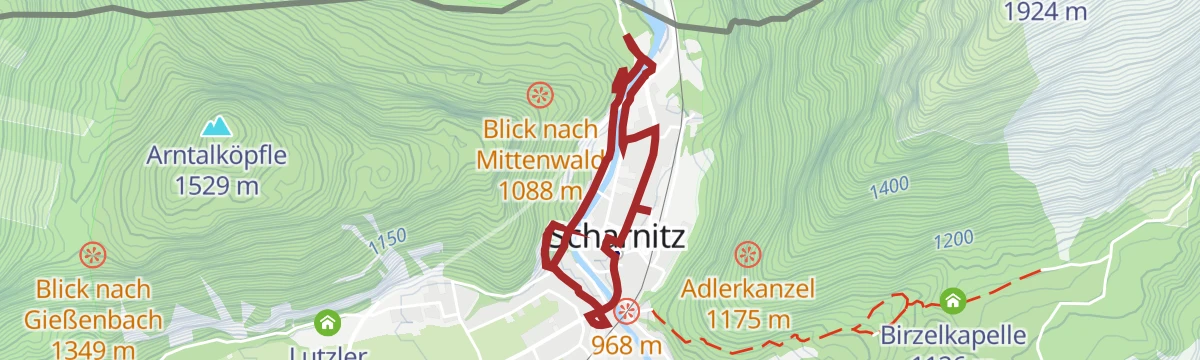
Dorfrunde Scharnitz - Gießenbach
Flat 6.1 km village round from Scharnitz along the Gießenbach, with places to step down to the water.
- 6.1 km
- Distance
- 41 m
- Ascent
- 1 h 31 min
- Duration
- 9
- Check-ins
Rundwanderung Birzlkapelle - Karwendelsteg
An 8.5 km round from Scharnitz by the Birzlkapelle to the Karwendelsteg, which looks onto the waterfall in the Karwendel gorge.
- 8.5 km
- Distance
- 244 m
- Ascent
- 2 h 36 min
- Duration
- 35
- Check-ins
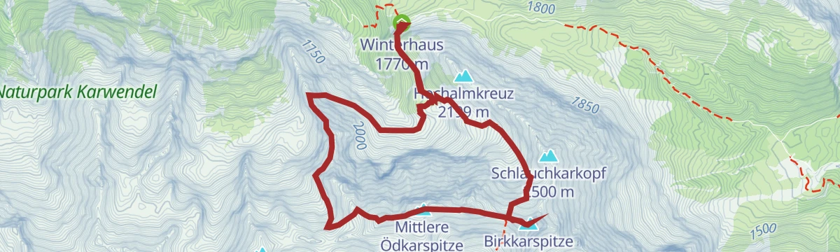
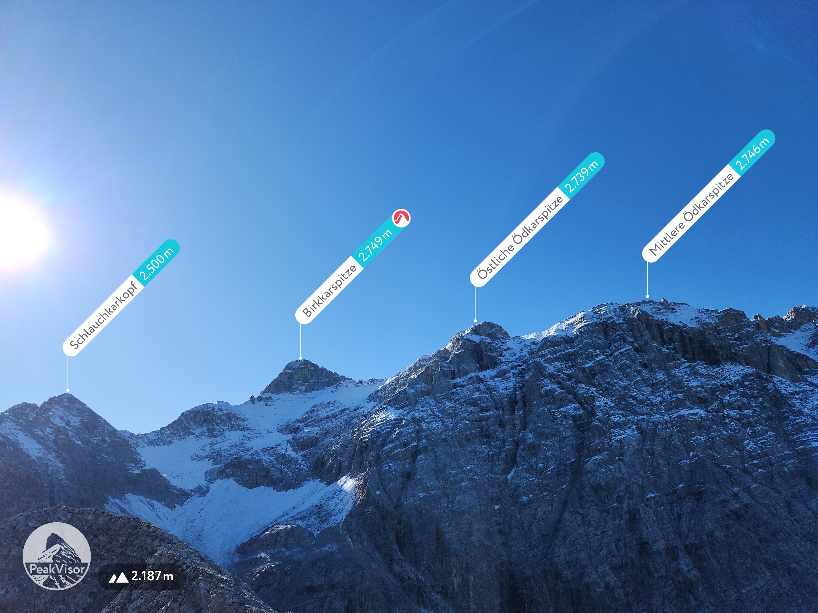
Überschreitung der Ödkarspitzen zur Birkkarspitze
High alpine traverse from the Karwendelhaus over the three Ödkarspitzen to the Birkkarspitze, the highest peak in the Karwendel; sure-footedness and a head for heights are needed.
- 9.5 km
- Distance
- 1 211 m
- Ascent
- 7 h 8 min
- Duration
- 50
- Check-ins
Bike & Hike Birkkarspitze, 2.749 m
A ride up the Karwendeltal to the Karwendelhaus and Hochalm, the start point for the ascent over the Schlauchkarsattel to the Birkkarspitze.
- 39.9 km
- Distance
- 1 824 m
- Ascent
- 5 h 16 min
- Duration
- 73
- Check-ins
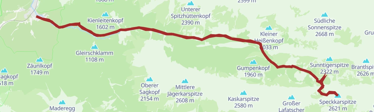
Bike & Hike Speckkarspitze, 2.621 m
A long ride through the Hinterautal to the Hallerangerhaus, the starting point for the walk up the Speckkarspitze.
- 42.6 km
- Distance
- 1 964 m
- Ascent
- 5 h 38 min
- Duration
- 49
- Check-ins
Rolli-Dorfrunde Scharnitz – Gießenbach
Level 6.9 km round from Scharnitz beside the Gießenbach, surfaced throughout and suitable for wheelchairs.
- 6.9 km
- Distance
- 42 m
- Ascent
- 1 h 43 min
- Duration
- 9
- Check-ins
Rundwanderung Karwendelschlucht / Karwendelsteg
A 9.2 km circuit from Scharnitz over the Karwendelsteg, set high above the Karwendelbach and the waterfall in the gorge below.
- 9.2 km
- Distance
- 228 m
- Ascent
- 2 h 43 min
- Duration
- 35
- Check-ins
Wanderung durch die Gleirschklamm zur Möslalm
Long 22 km walk from Scharnitz through the Gleirschklamm to the Möslalm at 1,261 m, with waterfalls on the way and food at the alm.
- 22.0 km
- Distance
- 519 m
- Ascent
- 6 h 25 min
- Duration
- 47
- Check-ins
Biketour Nr. 581 Gleirschtal-Pfeishütte
A long climb from Scharnitz through the Gleirschtal to the Pfeishütte at 1,950 m, with the Möslalm as a halt on the way up.
- 40.1 km
- Distance
- 1 153 m
- Ascent
- 4 h 39 min
- Duration
- 59
- Check-ins
Gravel Hinterautal
A gravel loop from Scharnitz along the Hinterautal to the Kastenalm, returning over the Seefeld plateau at around 1,180 m.
- 53.3 km
- Distance
- 1 070 m
- Ascent
- 5 h 44 min
- Duration
- 46
- Check-ins
Wanderung zum Aussichtspunkt Adlerkanzel
Short 2.7 km climb of 220 m from Scharnitz to the Adlerkanzel pavilion, which looks over the village, the Isar and the German border.
- 2.7 km
- Distance
- 217 m
- Ascent
- 1 h 23 min
- Duration
- 9
- Check-ins
Rundwanderung Gleirschklamm
A 12.9 km round from Scharnitz through the Gleirschklamm, a narrow Karwendel gorge with rock walls and small waterfalls.
- 12.9 km
- Distance
- 442 m
- Ascent
- 4 h 6 min
- Duration
- 31
- Check-ins
Wanderung zur Pleisenhütte
A 16 km walk from Scharnitz up to the Pleisenhütte at 1,757 m, whose south terrace faces the Brunnstein and the Karwendeltal.
- 16.0 km
- Distance
- 787 m
- Ascent
- 5 h 47 min
- Duration
- 47
- Check-ins
Biketour Nr. 595 Karwendeltal-Karwendelhaus
A ride up the Karwendeltal from Scharnitz to the Karwendelhaus at 1,765 m, passing the Spritz waterfall and the Hochalm.
- 37.0 km
- Distance
- 858 m
- Ascent
- 4 h 6 min
- Duration
- 52
- Check-ins
Biketour mit Kinderanhänger: Zum Isarursprung & zur Kastenalm Nr. 578
A family tour up the Hinterautal from Scharnitz, ridable with a child trailer, to the source of the Isar and the Kastenalm at 1,222 m.
- 28.1 km
- Distance
- 653 m
- Ascent
- 3 h 7 min
- Duration
- 41
- Check-ins
Kulturwanderweg Scharnitz
Easy 3.4 km walk through the older parts of Scharnitz, taking in the Porta Claudia fortress and the former mill.
- 3.4 km
- Distance
- 87 m
- Ascent
- 1 h 1 min
- Duration
Wanderung von Seefeld nach Scharnitz
Nearly level 9.7 km walk from Seefeld to Scharnitz, following the Römerweg and the Hirnweg.
- 9.7 km
- Distance
- 52 m
- Ascent
- 2 h 39 min
- Duration
- 22
- Check-ins
Wanderung zum Solsteinhaus
Demanding 22 km route from Scharnitz through the Gleirschklamm and on into alpine terrain to the Solsteinhaus.
- 22.0 km
- Distance
- 971 m
- Ascent
- 7 h 36 min
- Duration
- 42
- Check-ins
Bike & Hike Sunntigerspitze, 2.321 m
A long day from Scharnitz, riding the Hinterautal to the Hallerangerhaus and climbing the Sunntigerspitze on foot from there.
- 42.9 km
- Distance
- 1 357 m
- Ascent
- 5 h 5 min
- Duration
- 51
- Check-ins
Bike & Hike Kristenalm
A valley ride from Scharnitz up to the Zirler Kristenalm at 1,360 m, passing the Kneipp pool near the Scharnitzer Alm.
- 25.4 km
- Distance
- 825 m
- Ascent
- 3 h 2 min
- Duration
- 40
- Check-ins
Rundwanderung Porta Claudia
Short 2.5 km loop from Scharnitz to the ruins of the Porta Claudia, the alpine fortress that once guarded the valley.
- 2.5 km
- Distance
- 136 m
- Ascent
- 58 min
- Duration
Wanderung zur Brunnsteinhütte
A 9.8 km climb of 700 m from Scharnitz to the Brunnsteinhütte at 1,560 m, crossing the suspension bridge over the Sulzleklamm.
- 9.8 km
- Distance
- 699 m
- Ascent
- 4 h 38 min
- Duration
- 21
- Check-ins
Karwendel Höhenweg - Gehrichtung Reith-Scharnitz (Etappe 6): Hallerangerhaus - Scharnitz
Closing stage of the high route, 19.5 km of descent and level walking from the Hallerangerhaus down the Hinterautal to Scharnitz.
- 19.5 km
- Distance
- 34 m
- Ascent
- 5 h 24 min
- Duration
- 40
- Check-ins
Bike & Hike Hallerangerhaus-Hallerangeralm
A long day in the Karwendel from Scharnitz, riding the valley floor and finishing on foot at the Hallerangerhaus and its Winterraum.
- 38.0 km
- Distance
- 870 m
- Ascent
- 4 h 11 min
- Duration
- 50
- Check-ins
Bike & Hike Hoher Gleirsch, 2.492 m
A ride into the Gleirschtal from Scharnitz, past the Amtssäge and the Gleirschklamm viewpoint, before the walk up the Hoher Gleirsch.
- 31.3 km
- Distance
- 2 014 m
- Ascent
- 5 h 12 min
- Duration
- 39
- Check-ins
Wanderung Mühlberg Scharnitz
A 6.8 km walk up to the Mühlberg at 1,315 m, passing the heart-shaped viewing platform above Scharnitz.
- 6.8 km
- Distance
- 337 m
- Ascent
- 2 h 28 min
- Duration
W22: Winterwanderung von Scharnitz nach Gießenbach
Easy winter walk of 7.8 km from Scharnitz along the valley to Gießenbach, virtually without climbing.
- 7.8 km
- Distance
- 42 m
- Ascent
- 1 h 56 min
- Duration
- 9
- Check-ins
Toni-Gaugg-Höhenweg: Hochalpiner Weg von der Pleisenhütte bis zum Karwendelhaus
High-alpine traverse from the Pleisenhütte to the Karwendelhaus crossing the Ödkar and Seekar scharten past the Breitgrießkar bivouac; for experienced, sure-footed mountaineers.
- 12.7 km
- Distance
- 1 182 m
- Ascent
- 7 h 23 min
- Duration
- 36
- Check-ins
Bike & Hike Speckkarspitze, 2.621 m
A long ride up the Hinterautal to the Hallerangerhaus, where the bike is left for the climb to the Speckkarspitze.
- 42.6 km
- Distance
- 1 640 m
- Ascent
- 5 h 20 min
- Duration
- 49
- Check-ins
Gravel Arnspitzrunde
A gravel circuit round the Arnspitze group, passing the Porta Claudia above Scharnitz and the Kreithalm on the Leutasch side.
- 33.0 km
- Distance
- 512 m
- Ascent
- 3 h 25 min
- Duration
- 13
- Check-ins
Wanderung zur Eppzirler Alm
A 12.5 km walk from Gießenbach up the rough Gießenbachtal to the Eppzirler Alm at 1,459 m, with 435 m of climb.
- 12.5 km
- Distance
- 437 m
- Ascent
- 3 h 60 min
- Duration
- 9
- Check-ins
Adlerweg-Etappe 15: Solsteinhaus – Leutasch
Adlerweg stage crossing the Eppzirler Scharte from the Solsteinhaus into the Leutasch valley, dropping past the Eppzirler Alm and over the Hoher Sattel to the scattered hamlets of Leutasch.
- 20.0 km
- Distance
- 841 m
- Ascent
- 7 h 45 min
- Duration
- 29
- Check-ins
Gravel Hinterautal
A long gravel run from Seefeld down to Scharnitz and up the Isar valley to the Kastenalm at 1,222 m, deep in the Karwendel.
- 53.3 km
- Distance
- 588 m
- Ascent
- 5 h 17 min
- Duration
- 46
- Check-ins
Bike & Hike Sunntigerspitze, 2.321 m
A short but steep approach past the Lafatsch-Niederleger to the Halleranger huts, from where the Sunntigerspitze is climbed.
- 15.8 km
- Distance
- 1 179 m
- Ascent
- 2 h 56 min
- Duration
- 12
- Check-ins
Dorflaufrunde Scharnitz
Running and walking loop from the Naturpark-Infozentrum in Scharnitz out toward Gießenbach and back on mostly flat valley paths.
- 7.8 km
- Distance
- 73 m
- Ascent
- 2 h 1 min
- Duration
- 9
- Check-ins
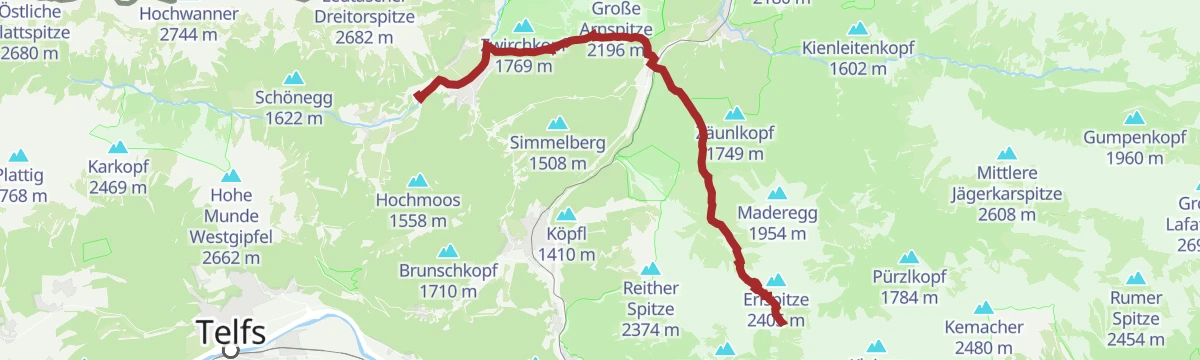
Bergtour Hoher Sattel - Große Arnspitze, 2.196 m
Demanding 11.4 km climb from Leutasch by the Hoher Sattel to the 2,196 m Große Arnspitze, 1,205 m of ascent with the Seefeld plateau below.
- 11.4 km
- Distance
- 1 204 m
- Ascent
- 7 h 27 min
- Duration
- 25
- Check-ins
Biketour Nr. 579 Gleirschtal-Möslalm
A ride from Scharnitz up the Gleirschtal to the Möslalm at 1,262 m and back the same way.
- 22.7 km
- Distance
- 398 m
- Ascent
- 2 h 23 min
- Duration
- 45
- Check-ins
Gravel - The Adventure Ride
A long gravel day out of the Leutasch valley by way of the Klamm and the Porta Claudia fortifications, with the Kalvarienberg viewpoint on the loop.
- 51.0 km
- Distance
- 1 136 m
- Ascent
- 5 h 36 min
- Duration
- 12
- Check-ins
Etappe 2: Von Scharnitz nach Seefeld – Seefelder Hochplateau Winterweitwanderung
Winter stage of 12.5 km from Scharnitz, the gateway to the Karwendel, to Seefeld on easy tracks past the Bodenalm.
- 12.4 km
- Distance
- 267 m
- Ascent
- 3 h 22 min
- Duration
- 8
- Check-ins
No routes of this kind in Scharnitz yet.
The region's own picks
Featured route
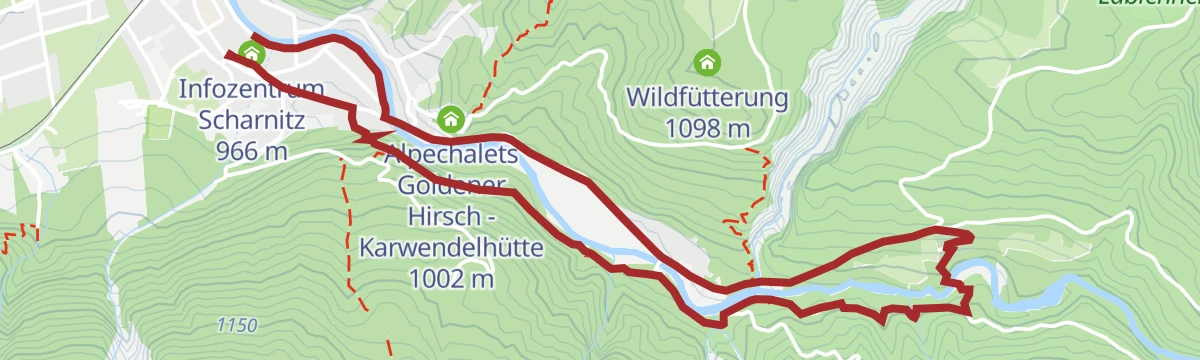
Rundwanderung Scharnitzer Alm
Easy 5.1 km loop from Scharnitz to the Scharnitzer Alm, with a Kneipp pool for cold feet and views of the Isar.
Planning a trip to Scharnitz?
Everything else Tyrol has, in one place


Take Scharnitz with you into the mountains
Every route on this page with 3D terrain, GPX navigation and offline maps — including the valleys with no signal.
Data sources
- Official website: seefeld.com ↗
- Routes and highlights: Region Seefeld
- Published as open data by the tourist boards named above.
- Region summary generated from the board's own material.
