
 Viewpoint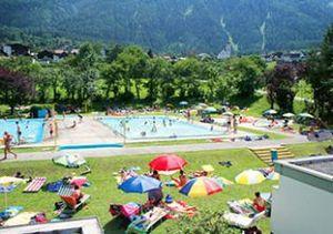





Curated by Ötztal Tourismus
Sautens
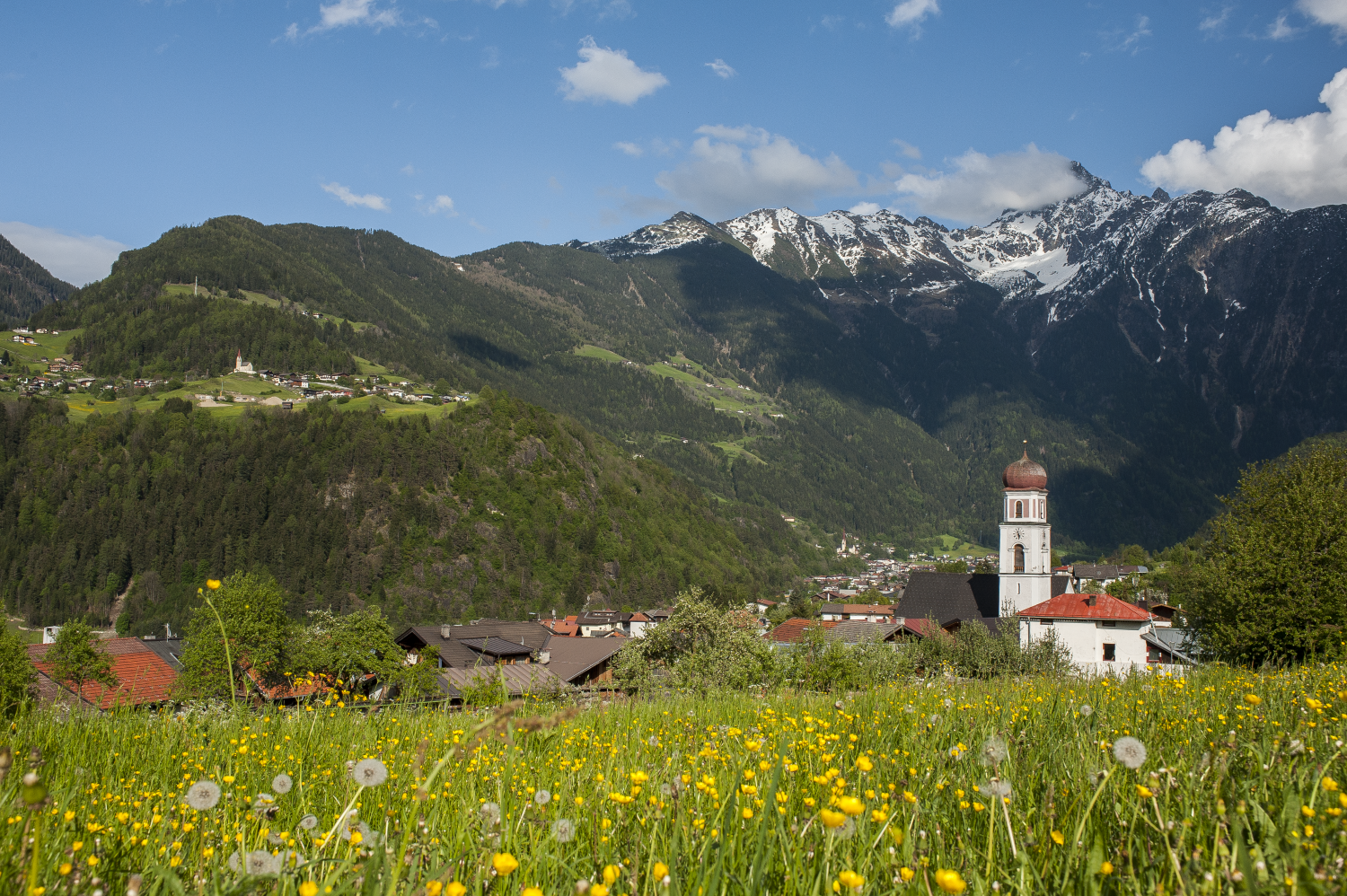
Lowest and mildest of the Ötztal villages, on the sunny orchard side of the valley entrance, a place of easy paths before the high mountains close in.
- 5Highlights
- 24Routes
- Featured summit · Blosse
Highlights
10 from neighbouring places
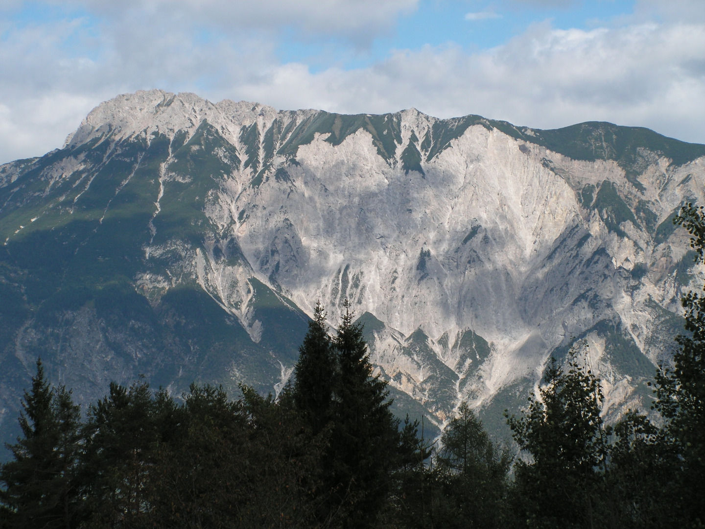
Tschirgant Bergsturz
The Tschirgant rockslide buried the lower Ötztal some 3,000 to 3,500 years ago; the ground it left has been shaped by people ever since.
Drei Kirchen-Blick
A platform on a themed forest walk from the school at Sautens, looking across to the churches of Sautens, Oetz and Ötzerau.
Freischwimmbad Sautens
An open-air pool at Sautens with a children's basin, a large lawn, a buffet restaurant and two clay tennis courts.
Kunsthaus Trenker
A studio at Sautens running art workshops, courses and counselling sessions by appointment.
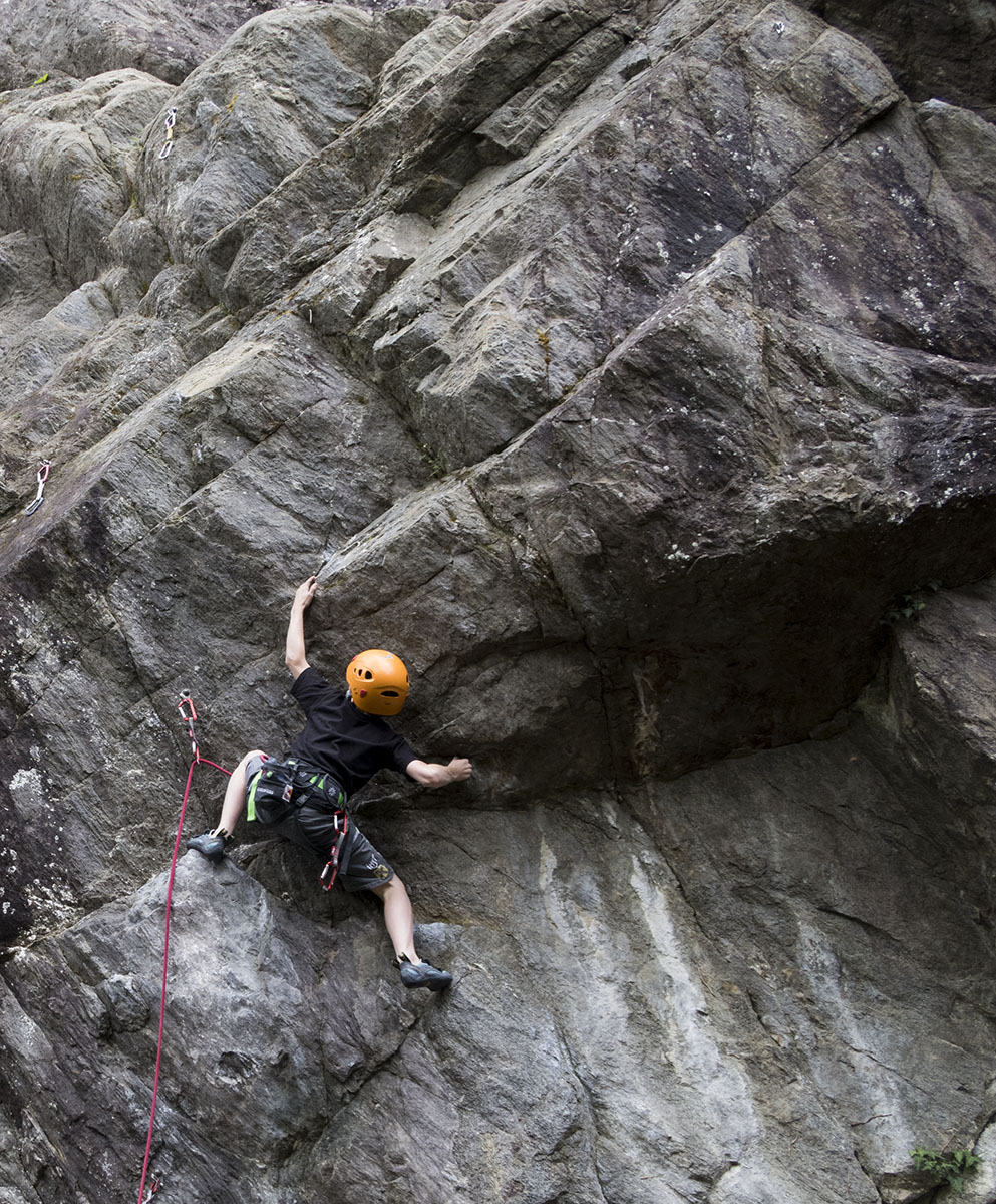
Rammelstein
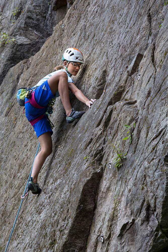
A shaded crag at 761 m above Sautens, decades old, renovated in 2007 and extended with the Jonathan sector in 2012.
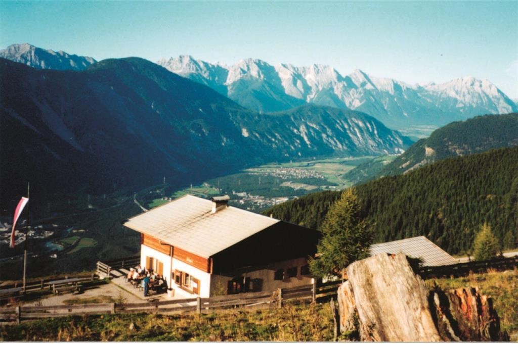
Maisalm
2 km away, in Roppen
A small alpine pasture hut in the mountains of the Imst region in Tirol, offering simple refreshment to walkers in summer.
Klettergarten Piburg
2.2 km away, in Oetz
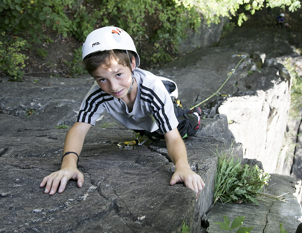
A crag at 974 m minutes from the Piburg car park, nine routes up to 15 m suited to beginners.
Auerklamm
2.2 km away, in Oetz
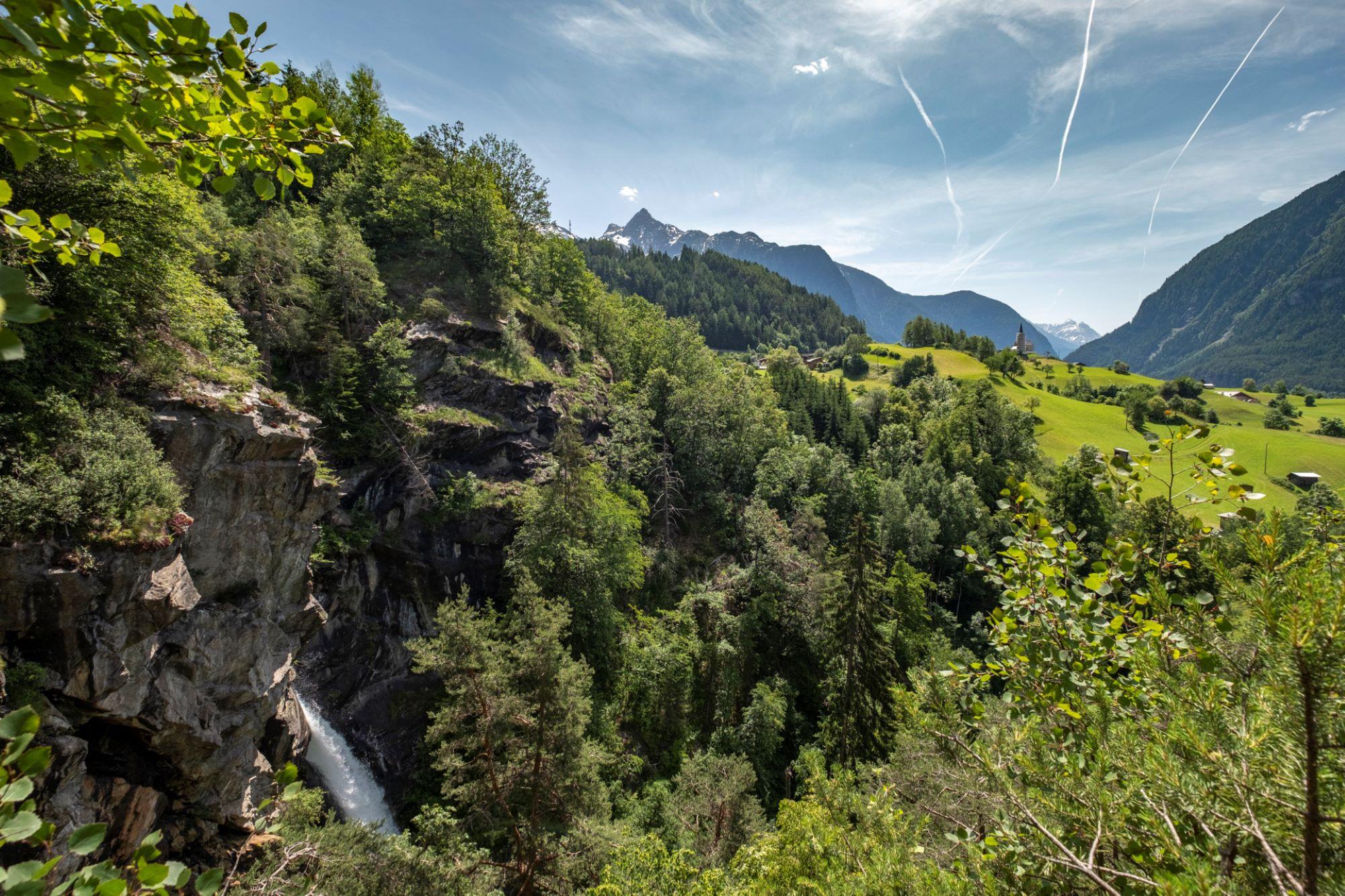
A gorge near Sautens used for canyoning. The walking path stays on the rim rather than entering it, with views down to the stream and its falls.
Brunau
2.4 km away, in Haiming
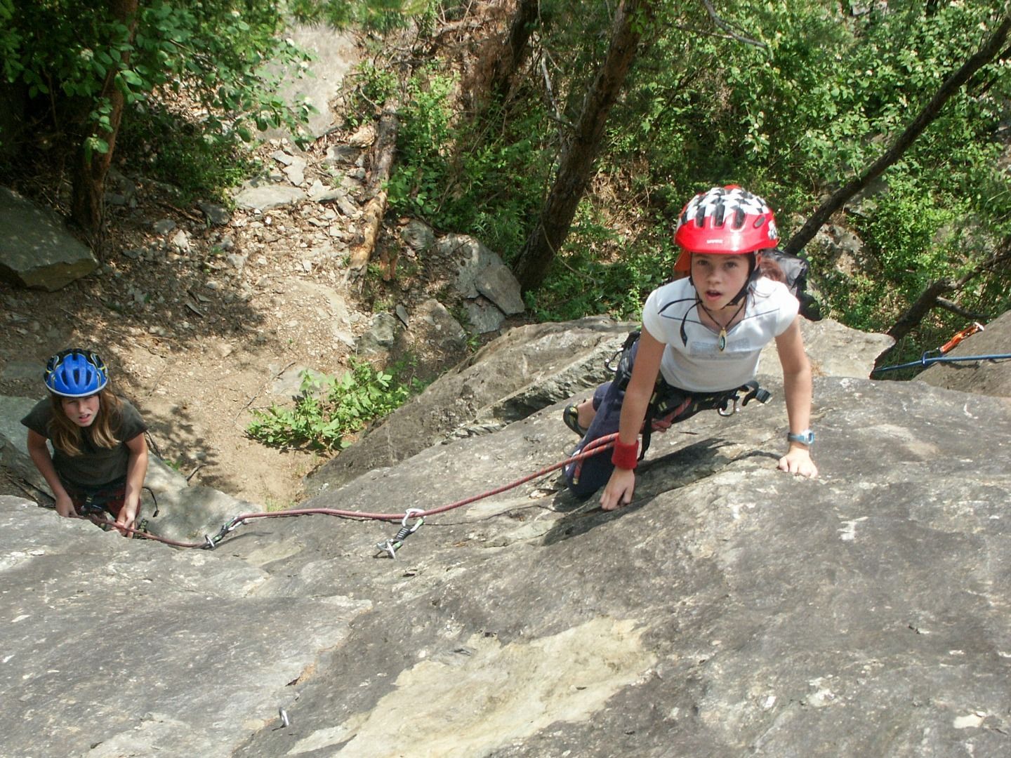
A former quarry at 736 m near Haiming, sheltered enough to climb from spring to late autumn and a good place to start on rock.
Oetz
2.6 km away, in Oetz
A varied crag at 766 m on the rocks at the entrance to Oetz, with plenty for beginners.
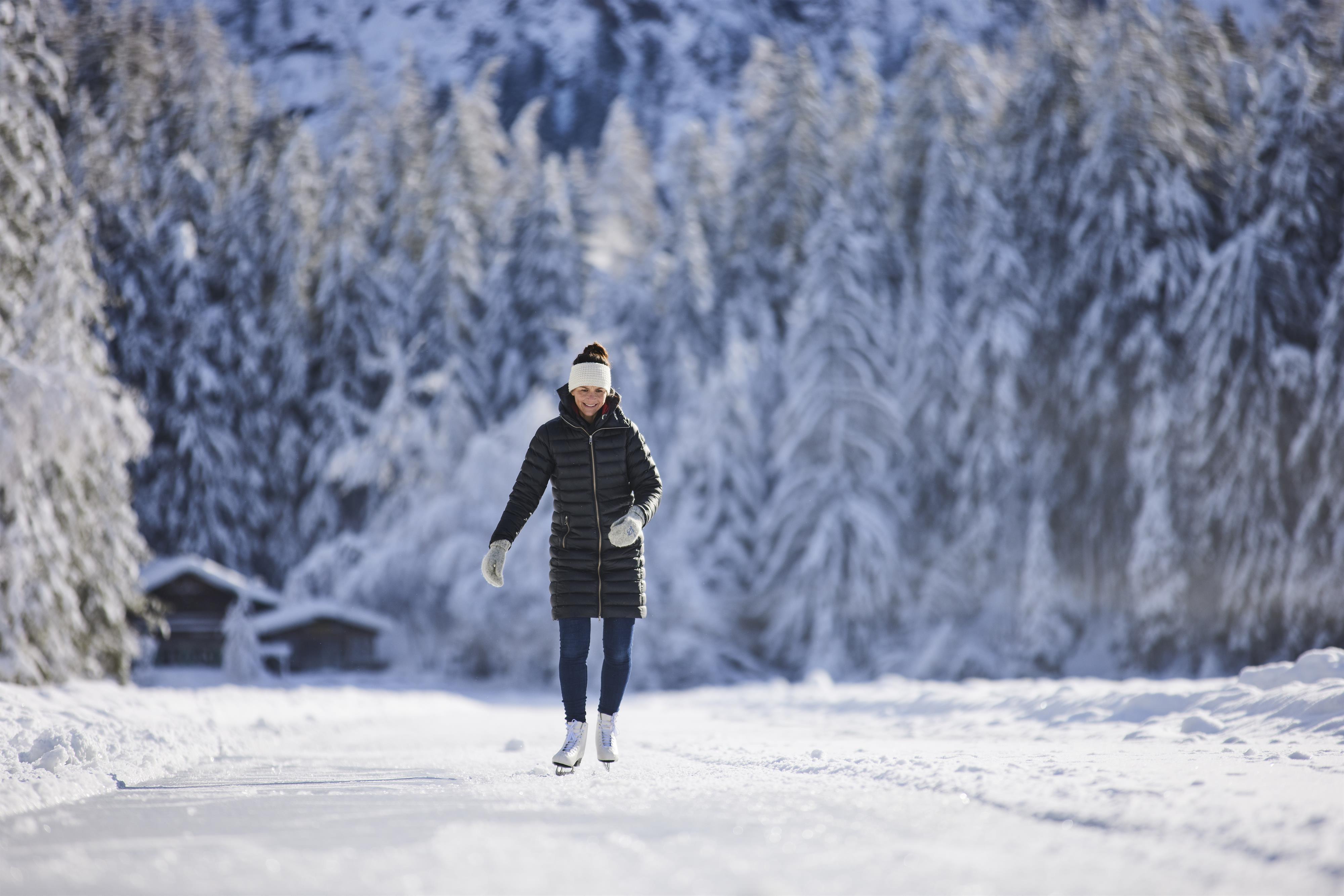
Natur-Eisfläche Piburger See
2.7 km away, in Oetz
A free natural ice rink about 1.5 km long on the frozen Piburger See, with changing rooms on site and skate hire nearby.
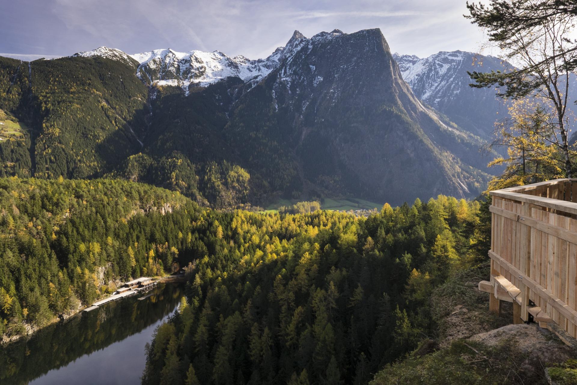
Seejöchl - Aussichtsplattform
2.8 km away, in Oetz
A platform above the Piburger See reached by a steep climb, quieter than the lakeshore paths and looking straight down onto the water.
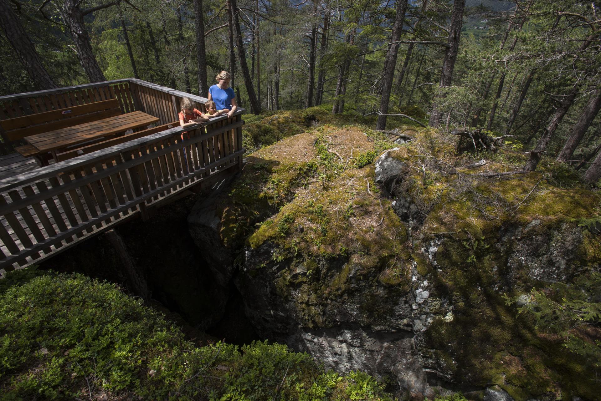
Kluft
2.8 km away, in Oetz
A jagged fissure in the rock above Oetz, opened when the Ötztal glacier melted and the cliff walls lost the ice pressing against them.
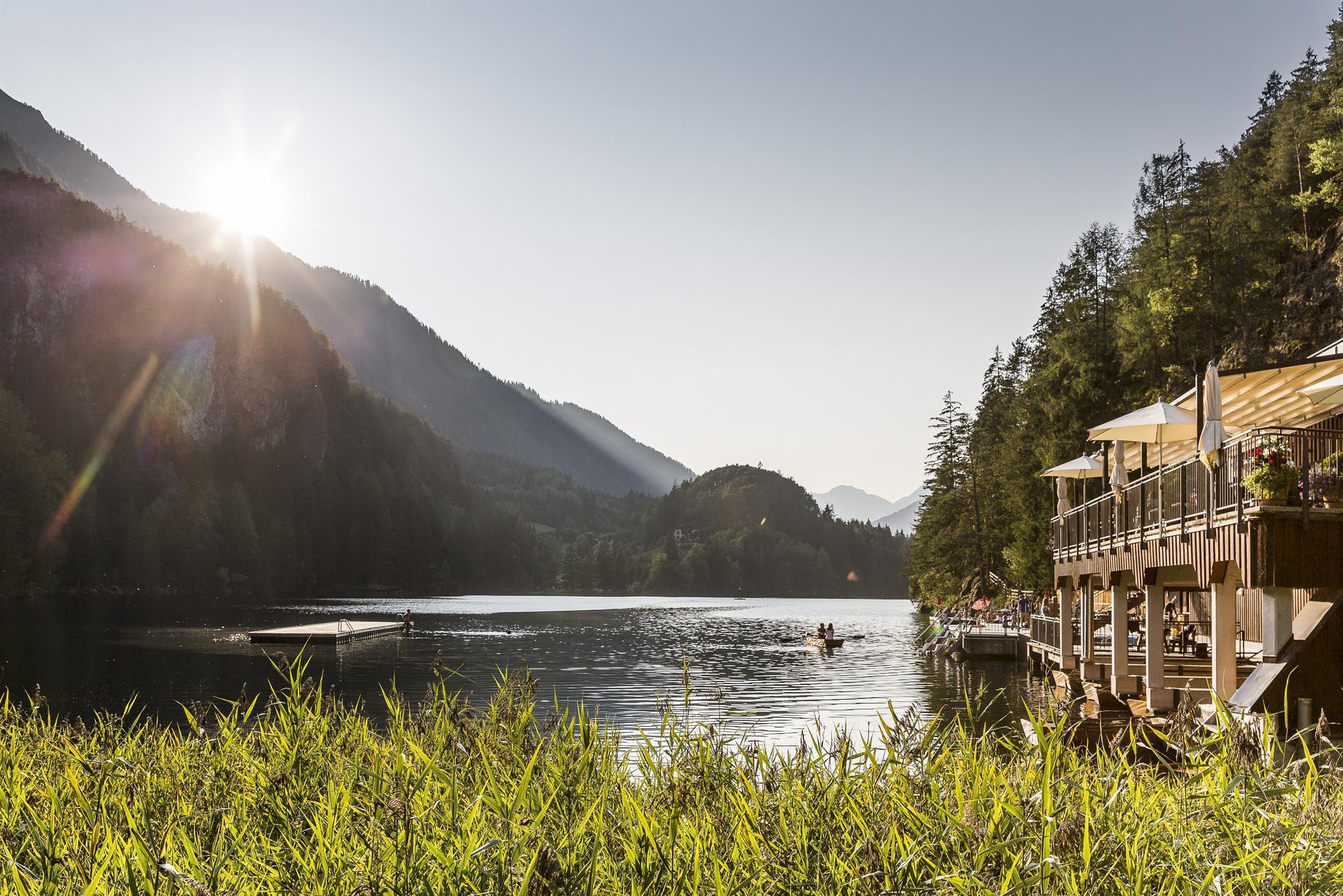
Badeanlage Piburger See
3.2 km away, in Oetz
The bathing area on the Piburger See, 30 minutes' walk from the Piburg car park, with water between 20 and 24 °C and rowing boats for hire.
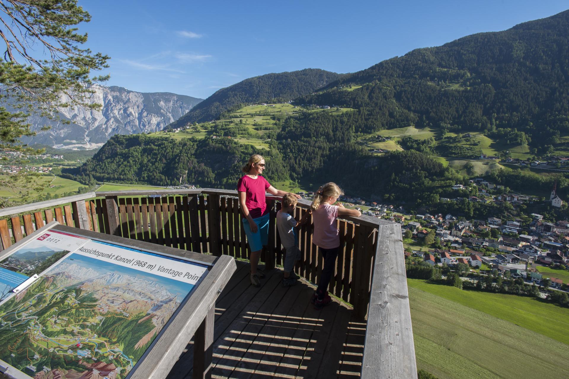
Kanzel - Aussichtsplattform
3.2 km away, in Oetz
A rock spur projecting from the forest above Oetz, giving a direct view down onto the village.
Nothing of this kind in Sautens.
Routes
Familienrunde Sautens - Oetz - Sautens
Nearly flat family loop linking Sautens and Oetz on meadow and village paths, crossing the Ötztaler Ache twice — once near the recycling yard and again on the wooden Sautner Steeg footbridge.
- 4.9 km
- Distance
- 42 m
- Ascent
- 1 h 14 min
- Duration
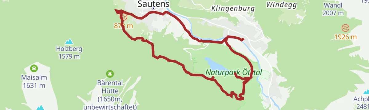
Sautens - Oetz - Piburger See - Sautens
Rockslide-country loop from Sautens along the Ötztaler Ache to the Achstürze rapids, over the Wellerbrücke and through a boulder-strewn forest to the Piburger See, returning over the Seejöchl and Haderlehn.
- 9.7 km
- Distance
- 451 m
- Ascent
- 3 h 23 min
- Duration
- 7
- Check-ins
Maisalm
Steady forest climb from the church in Sautens past the Dreikirchenblick, winding up in long bends to the unstaffed Reichenbachalm and on to the Maisalm.
- 9.3 km
- Distance
- 975 m
- Ascent
- 4 h 20 min
- Duration
- 2
- Check-ins
6001 Oetz - Seejöchl Piburg
A forest-road climb out of Oetz in the Ötztal to the Seehäusl above Piburg, continuing to the Seejöchl viewpoint at 1,041 m.
- 13.6 km
- Distance
- 444 m
- Ascent
- 1 h 37 min
- Duration
- 3
- Check-ins
Gravelbike Tour - Ötztal Plus
A long gravel ride through the lower Ötztal, passing the Habicher See and the Waldcafe Stuböbele high on the valley side.
- 63.2 km
- Distance
- 889 m
- Ascent
- 6 h 27 min
- Duration
- 22
- Check-ins
Rennradtour - Sölden - Area 47
A road run down the length of the Ötztal from Sölden to Area 47 at the valley mouth, and back again.
- 76.4 km
- Distance
- 801 m
- Ascent
- 7 h 32 min
- Duration
- 47
- Check-ins
Sautens - AREA 47
A level riverside walk from the Sautens leisure centre along the Ötztaler Ache, crossing at the Brunauer Steg and following a gravel track to the gates of the AREA 47 adventure park.
- 3.7 km
- Distance
- 11 m
- Ascent
- 57 min
- Duration
Sautner Forchet - schwarzer Weg
The longer, black-marked circuit through the pine-forest nature reserve between Sautens and the Tschirgant, starting at the Kreuzkapelle by the sports ground; paths cross and recross, so keep an eye on the markings.
- 7.6 km
- Distance
- 214 m
- Ascent
- 2 h 19 min
- Duration
Gipfeltour Blosse
A steep summit day above Sautens — over 1,700 m of climbing in five kilometres. The Knappensteig rises from Haderlehn past the Opferstein to the unstaffed Karalm, the last water source, then open slopes lead to the 2,536 m top.
- 5.2 km
- Distance
- 1 685 m
- Ascent
- 5 h 51 min
- Duration
Gravelrunde Piburger See
A long gravel ride down the Inn valley from Imst to the Piburger See, with the Seehäusl and Seerestaurant at the lake before the return.
- 60.8 km
- Distance
- 1 136 m
- Ascent
- 6 h 28 min
- Duration
- 15
- Check-ins
5 Orte Runde
A family round of 32.8 km through five villages of the lower Ötztal, almost level with 488 m of climbing.
- 28.2 km
- Distance
- 281 m
- Ascent
- 2 h 46 min
- Duration
Open route Tirol WerbungSautner Forchet - roter Weg
Easy red-marked loop from the Kreuzkapelle into the sparse pine woods below the Tschirgant, reaching the Tschirgantblick viewpoint and passing info boards on birds and geology; at its best in spring and autumn.
- 3.5 km
- Distance
- 80 m
- Ascent
- 1 h 1 min
- Duration
Haimingerberg Sattele
A long climb out of the Inn valley over the Haimingerberg to the Sattele at 1,690 m, with Ottos Einkehr shortly below the pass.
- 58.6 km
- Distance
- 2 095 m
- Ascent
- 7 h 11 min
- Duration
- 13
- Check-ins
6001 Oetz - Seejöchl Piburg
From the centre of Oetz along the Ache and up a short steep pull to the Seejöchl above the Piburger See, 15.8 km and 541 m.
- 13.6 km
- Distance
- 432 m
- Ascent
- 1 h 37 min
- Duration
Open route Roland GrünerSchatzsuche Sautens Sautner Forchet
Family geocache round from the Kreuzkapelle in Sautens: red-marked forest paths hide two caches — one by a tree, one near a shrub just before the Tschirgantblick viewpoint, where the view opens toward Roppen.
- 3.6 km
- Distance
- 66 m
- Ascent
- 1 h 1 min
- Duration
Gravelbike Tour Ötztal Lite mit Stuibenfallblick
A long gravel ride up the Ötztal from the valley mouth to around 1,150 m, with the Stuibenfall waterfall in view along the way.
- 45.6 km
- Distance
- 766 m
- Ascent
- 4 h 46 min
- Duration
- 10
- Check-ins
 Waldcafe Stuböbele 1 150 m
- Appartement Fritz 1 058 m
- Ötztal Tourismus 1 030 m
- INFO 797 m
- River Haus 694 m
 Badeteich Haderlehn 1 012 m
608 Bärental
A hard 16.6 km round from Sautens into the Bärental: the asphalt ends after two kilometres and 784 m of climbing follow.
- 14.1 km
- Distance
- 840 m
- Ascent
- 2 h 13 min
- Duration
Open route ÖtztalZauberwald Sautens
A short stroll from the Sautens church along the forest edge to the Drei-Kirchen-Blick rest stop, with a woodland playground a little further on — an easy outing sized for small children.
- 2.5 km
- Distance
- 93 m
- Ascent
- 49 min
- Duration
Inntalrunde
A valley circuit along the Inn from Silz, passing the mouths of both the Ötztal and the Pitztal.
- 55.2 km
- Distance
- 901 m
- Ascent
- 5 h 45 min
- Duration
- 8
- Check-ins
Gravelbike Tour Ötztal Lite mit Stuibenfallblick
A gravel round of 49.8 km from Ötztal-Bahnhof up the valley to Umhausen and back, 1,097 m of climbing with the Stuibenfall in view.
- 45.6 km
- Distance
- 763 m
- Ascent
- 4 h 46 min
- Duration
Open route Sabine Watson658 5-Orte-Runde
A track circuit linking five villages of the lower Ötztal, with a bouldering cave passed on the way round from Oetz.
- 28.2 km
- Distance
- 281 m
- Ascent
- 2 h 46 min
- Duration
- 3
- Check-ins
Haimingerberg Sattele
A long 68.2 km loop Imst – Haiming – Haimingerberg – Sattele – Ochsengarten – Oetz and back, with 1,415 m of climbing.
- 58.6 km
- Distance
- 2 095 m
- Ascent
- 7 h 11 min
- Duration
Open route Imst Tourismus608 Bärental
A numbered forest-road climb from Sautens at the mouth of the Ötztal, gaining close to 1,000 m up the side valley behind the village.
- 14.1 km
- Distance
- 842 m
- Ascent
- 2 h 13 min
- Duration
Inntalrunde
A 65.3 km valley loop on the Inn cycle path — Imst, the Inn gorge, Roppen, Haiming, Silz and Stams — with only 581 m of climbing.
- 55.2 km
- Distance
- 901 m
- Ascent
- 5 h 45 min
- Duration
Open route Imst Tourismus
No routes of this kind in Sautens yet.
The region's own picks

Featured route
Familienrunde Sautens - Oetz - Sautens
Nearly flat family loop linking Sautens and Oetz on meadow and village paths, crossing the Ötztaler Ache twice — once near the recycling yard and again on the wooden Sautner Steeg footbridge.
Planning a trip to Sautens?
Everything else Tyrol has, in one place


Take Sautens with you into the mountains
Every route on this page with 3D terrain, GPX navigation and offline maps — including the valleys with no signal.
Data sources
- Official website: oetztal.com ↗
- Routes and highlights: Ötztal Tourismus, Imst Tourismus, Tirol Werbung, Climbers Paradise *Neu*, Roland Grüner, Ötztal, Sabine Watson
- Published as open data by the tourist boards named above.
- Region summary generated from the board's own material.
