




Curated by Sterzing, Pfitsch und Freienfeld
Sarentino/Sarntal
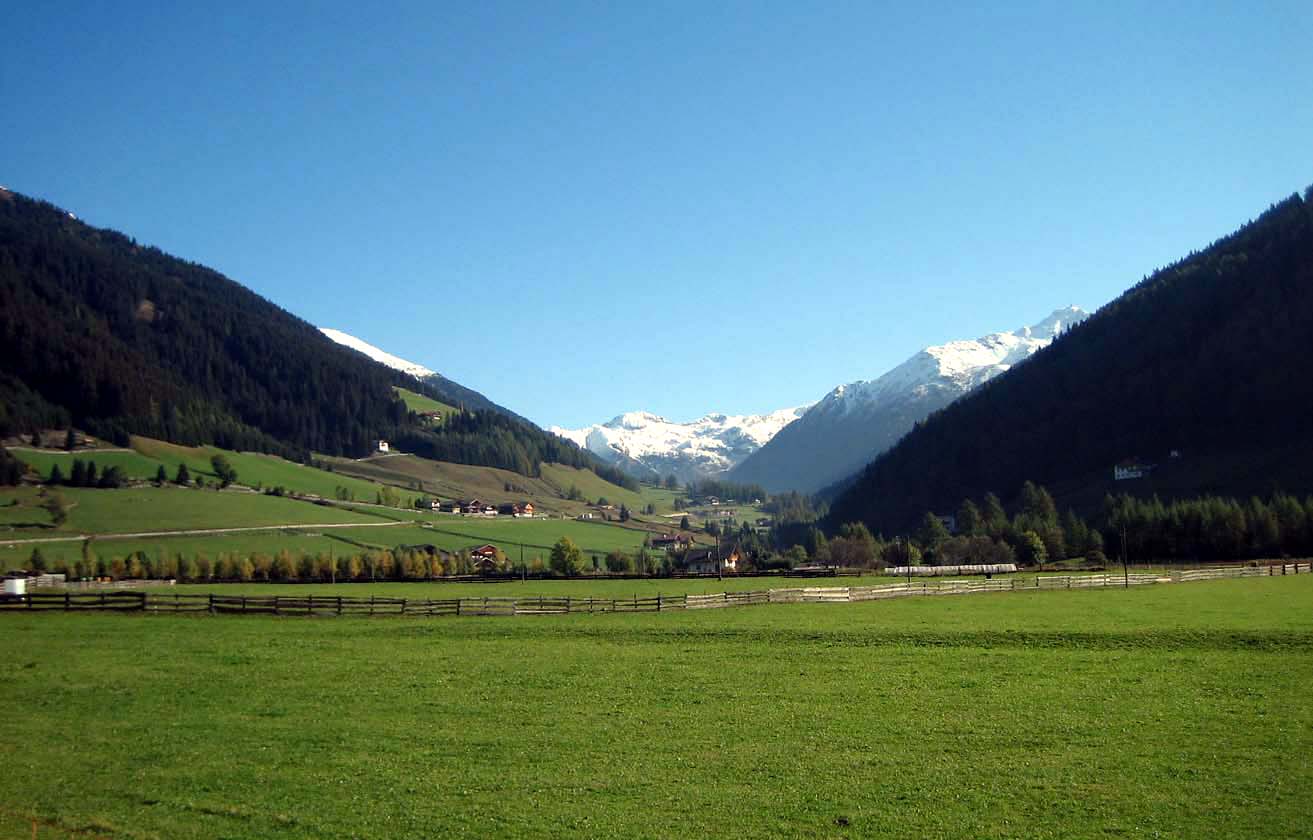
A long enclosed valley north of Bolzano, its farms and Sarner traditions below the Sarentine Alps.
- 1Highlights
- 15Routes
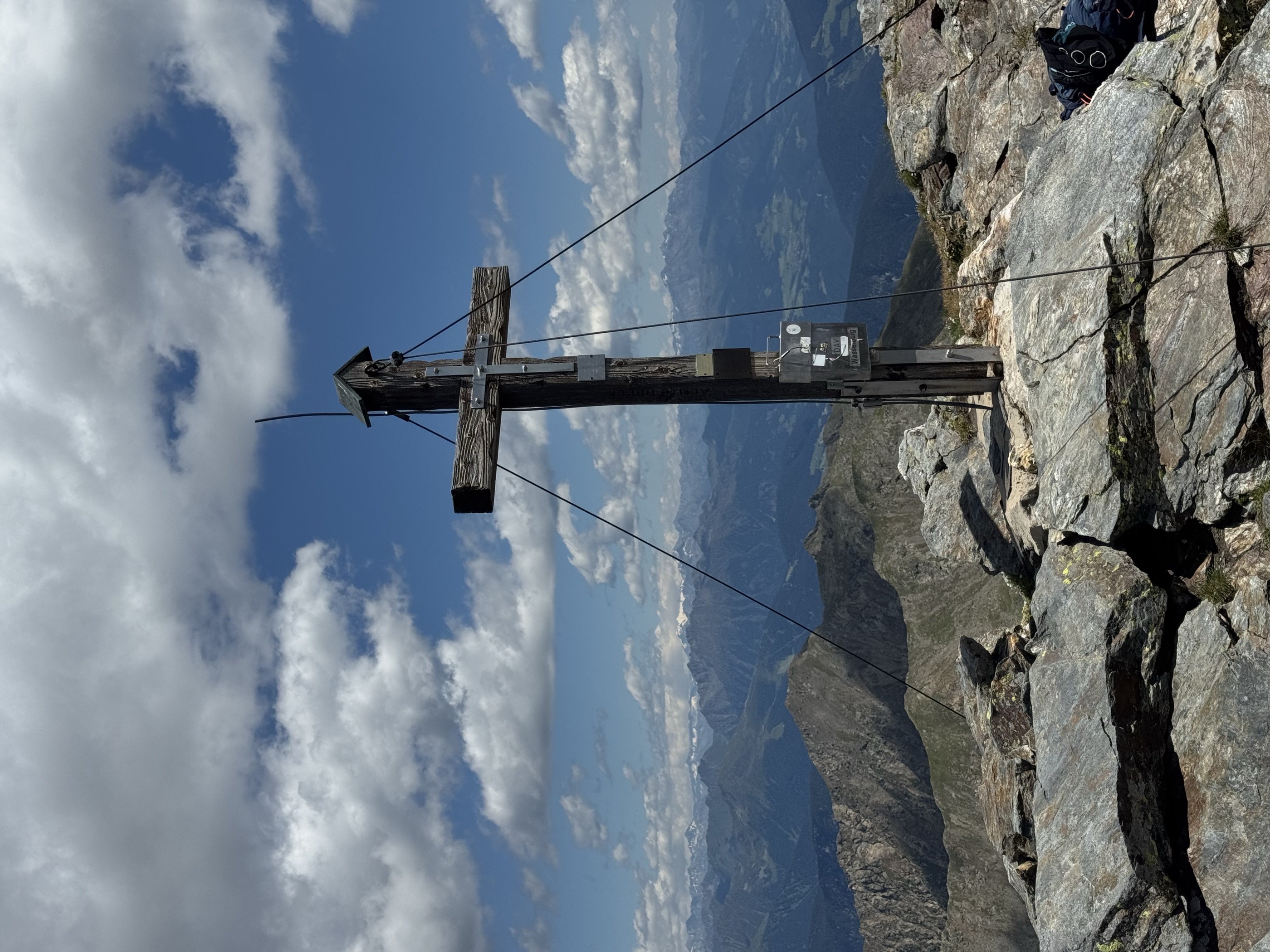
- Featured summit · Jakobspitz
Highlights
14 from neighbouring places
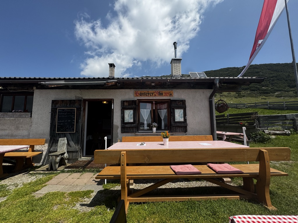
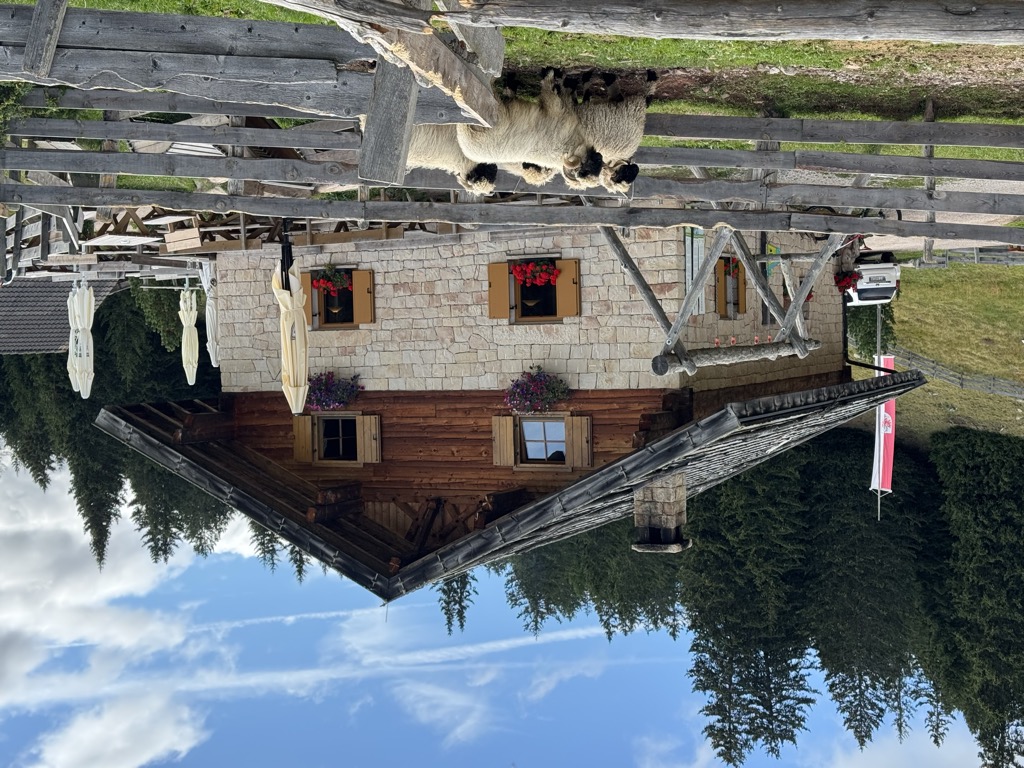
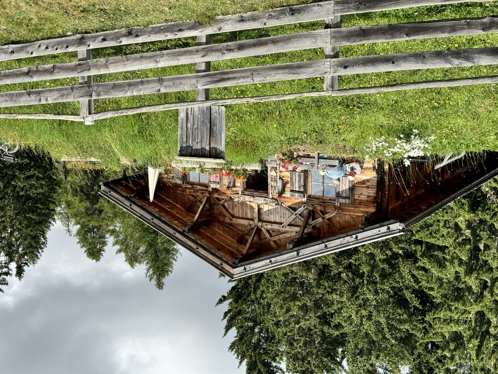
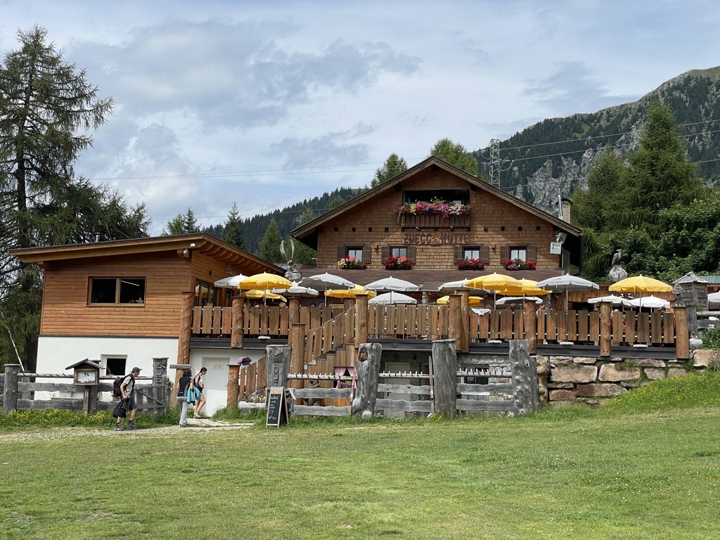
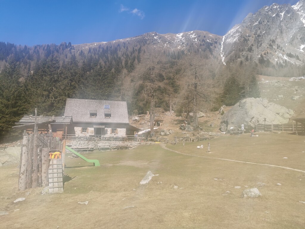
Genterer Alm
A dairy hut on the Genter pastures of the Sarntal, above Sarentino, reached by the path that climbs through larch woods from the valley road.
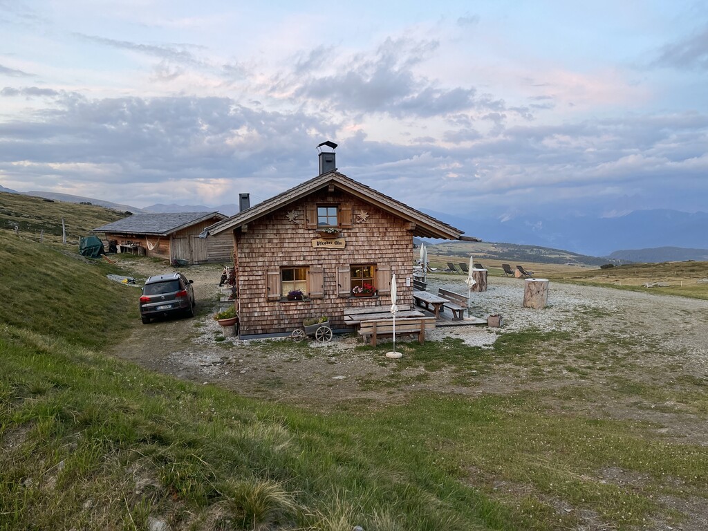
Sterzing, Pfitsch und FreienfeldMalga Pfroder
5.7 km away, in Villandro/Villanders
A dairy hut on the open ground of the Alpe di Villandro above Villandro, reached by the track from the valley.
Sterzing, Pfitsch und FreienfeldStöfflhütte
7.2 km away, in Chiusa/Klausen
A hut on the pastures above Chiusa, on the Sarentine slopes east of the Val Isarco.
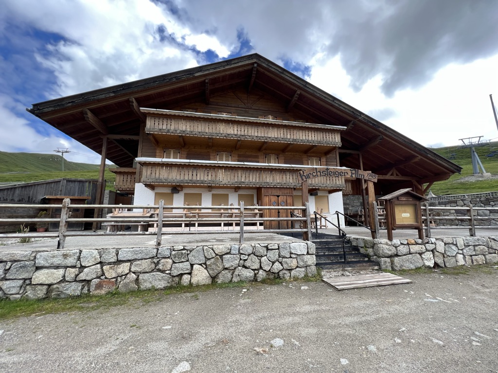
Sterzing, Pfitsch und FreienfeldMalga Kirchsteiger
8.1 km away, in Avelengo/Hafling
A dairy hut above Avelengo, on the pasture slopes between the Hafling farms and the Merano 2000 ski ground.
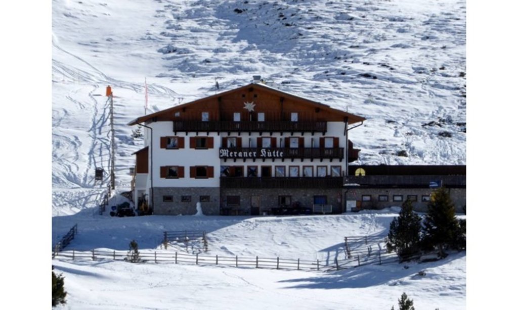
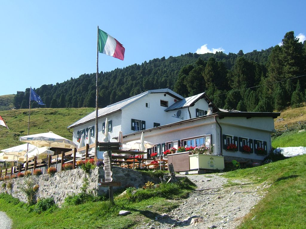
Rifugio Meraner Hütte
8.2 km away, in Avelengo/Hafling
A refuge on the Merano 2000 pastures above Avelengo, below the Kleiner Ifinger, reached from the lifts at Falzeben.
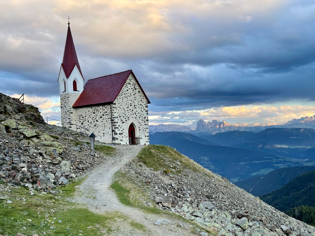
Sterzing, Pfitsch und FreienfeldRifugio Latzfonser Kreuz
8.6 km away, in Chiusa/Klausen
A refuge below the Cima di Ega in the Alpi Sarentine, reached from Latzfons above Chiusa and long visited as a pilgrimage site.
Sterzing, Pfitsch und FreienfeldMalga Mair in Plun
8.6 km away, in Villandro/Villanders
A dairy hut on the Alpe di Villandro, on the pastures above Villandro in the Val Isarco.
Sterzing, Pfitsch und FreienfeldMalga Waidmannalm
8.7 km away, in Avelengo/Hafling
A dairy hut on the Merano 2000 pastures above Avelengo, beside the runs and walking paths of the plateau.
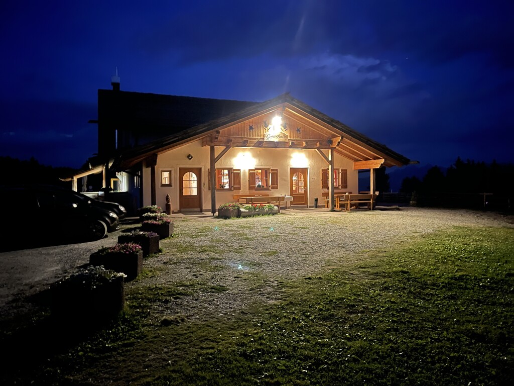
Gasser Hütte
9.8 km away, in Villandro/Villanders
A hut on the Alpe di Villandro above Villandro, one of the wide grazing plateaux of the Alpi Sarentine.
Rifugio Chiusa al Campaccio
10.2 km away, in Chiusa/Klausen
A refuge on the wooded slopes above Chiusa, on the long climb from the Val Isarco towards the Latzfonser Kreuz.
Malga Möltner Kaser
10.4 km away, in Meltina/Mölten
A dairy hut on the Salto plateau above Meltina, on the broad Tschögglberg ridge between the Adige and the Val Sarentino.
Sterzing, Pfitsch und FreienfeldMalga Moschwaldalm
10.5 km away, in Avelengo/Hafling
A dairy hut on the Moschwald pastures above Avelengo, in the woods below the Merano 2000 plateau.
Sterzing, Pfitsch und FreienfeldChalet Zuegg
10.7 km away, in Avelengo/Hafling
A mountain house on the meadow terrace of Avelengo, high above the Adige valley and below the Merano 2000 pastures.
Malga Ifinger
11.3 km away, in Scena/Schenna
A dairy hut under the Ifinger above Scena, on the pastures that link the Merano 2000 plateau with the paths to the Hirzer.
Sterzing, Pfitsch und FreienfeldResegger Alm - malga
11.3 km away, in Scena/Schenna
A dairy hut on the Resegg pastures above Scena, on the slopes rising from the Merano basin into the Sarntal Alps.
Sterzing, Pfitsch und Freienfeld
Nothing of this kind in Sarentino/Sarntal.
Routes
Penserjoch lake and Gänsekragen
A short climb from the Passo Pennes to the small lake below it and on up the Gänsekragen, returning along the eastern ridge.
- 2.0 km
- Distance
- 122 m
- Ascent
- 50 min
- Duration
- 40
- Check-ins
Open route SterzingEscursione circolare lungo il sentiero Otto Gurschler a Merano 2000
A circuit from the Merano 2000 top station on the Otto Gurschler path to the Mittager hut, facing the Dolomites, the Ortler and the Texel group.
- 13.2 km
- Distance
- 422 m
- Ascent
- 4 h 24 min
- Duration
- 225
- Check-ins
 Piffinger Köpfl 1 937 m
- Kesselberg 2 297 m
 Missensteiner Joch - Giogo di Pietramala 2 128 m
- Passo di Nova 1 952 m
 Kirchsteiger Alm - Malga Kirchsteiger 1 930 m
- Meranerhütte - Rifugio Merano 1 944 m
- +9
Open route Partschins - Rabland - TöllHufeisentour - alta via nelle Alpi Sarentino
A stage of the Hufeisentour horseshoe high route through the Sarntal Alps, over the Kreuzjoch and past the stone men of the Stoanerne Mandln.
- 19.9 km
- Distance
- 603 m
- Ascent
- 6 h 27 min
- Duration
- 244
- Check-ins
- Stoanerne Mandln 2 003 m
- Kreuzjoch 2 084 m
- Kreuzjoch - Giogo della Croce 2 084 m
- Maiser Rast - Riposo di Maia 2 027 m
- Schwarzwand 2 072 m
- Vöraner Alm - Malga di Verano 1 875 m
- +9
Open route Partschins - Rabland - TöllSci alpinismo notturno presso l'area sciistica di Reinswald
A ski-touring ascent of the Reinswald piste, open to skinners on Thursday evenings through the season.
- 4.7 km
- Distance
- 880 m
- Ascent
- 0 m
- Descent
- 2 h 27 min
- Duration
- 47
- Check-ins
Open route Sterzing, Pfitsch und FreienfeldSci alpinismo a Punta Forcellaetta
A ski tour to the Punta Lavine in the Durnholz valley, a winter classic among the mountaineers of the Sarntal.
- 7.8 km
- Distance
- 1 144 m
- Ascent
- 66 m
- Descent
- 3 h 25 min
- Duration
- 41
- Check-ins
- Hörtlahnerspitz - Punta Lavine 2 653 m
- Fischerwirt 1 558 m
- Seebalm - Malga Sebia 1 809 m
 Durnholzer See - Lago di Valdurna 1 542 m
- Flaggerschartenhütte - Rifugio Forcella Vallaga 2 481 m
- Flaggersee - Lago di Vallaga 2 480 m
- +2
Open route Sterzing, Pfitsch und FreienfeldLago di San Pancrazio a Merano 2000
A circuit from Falzeben or Piffing to the Kratzbergersee, looking across to the Sarntal; the water is cold and not for swimming.
- 14.9 km
- Distance
- 399 m
- Ascent
- 4 h 44 min
- Duration
- 188
- Check-ins
- Piffinger Köpfl 1 937 m
- Missensteiner Joch - Giogo di Pietramala 2 128 m
- Passo di Nova 1 952 m
- Kirchsteiger Alm - Malga Kirchsteiger 1 930 m
- Meranerhütte - Rifugio Merano 1 944 m
- Restaurant Panorama 1 617 m
- +7
Open route Partschins - Rabland - TöllTour panoramico sportivo
A demanding high circuit above Merano 2000 over the Kreuzjoch, with the Ortler massif, the Ötztal Alps and the Dolomites all in sight.
- 17.0 km
- Distance
- 583 m
- Ascent
- 5 h 45 min
- Duration
- 237
- Check-ins
- Piffinger Köpfl 1 937 m
- Kreuzjoch 2 084 m
- Kreuzjoch - Giogo della Croce 2 084 m
- Maiser Rast - Riposo di Maia 2 027 m
- Schwarzwand 2 072 m
- Waidmannalm 1 998 m
- +12
Open route Partschins - Rabland - TöllHirzerhütte
An alpine stage over the Hirzerscharte through the Sarntal Alps, linking the Hirzer hut with the pastures of Merano 2000.
- 10.4 km
- Distance
- 848 m
- Ascent
- 5 h 32 min
- Duration
- 121
- Check-ins
Il sentiero escursionistico europeo E5: tappa rifugio Hirzer - rifugio Meraner
An E5 stage from the Hirzerhütte, opened in 1874 as the first alpine hut in South Tyrol, over the Hirzerscharte and past the Kratzbergersee.
- 15.8 km
- Distance
- 1 189 m
- Ascent
- 7 h 56 min
- Duration
- 190
- Check-ins
- Piffinger Köpfl 1 937 m
- Missensteiner Joch - Giogo di Pietramala 2 128 m
- Kirchsteiger Alm - Malga Kirchsteiger 1 930 m
- Meranerhütte - Rifugio Merano 1 944 m
- Gasthaus Klammeben 1 988 m
- Panorama Bistro Meran 2000 1 901 m
- +9
Open route Partschins - Rabland - Töll2 vette in un giorno – Windspitz e Mittager
Two tops in a day above Merano 2000: the Windspitz facing the ridged crest of the Ifinger, then the Mittager with its all-round view. Fitness needed.
- 12.2 km
- Distance
- 782 m
- Ascent
- 5 h 19 min
- Duration
- 108
- Check-ins
- Piffinger Köpfl 1 937 m
- Großer Mittager 2 422 m
- Windspitz 2 390 m
- Waidmannalm 1 998 m
- Panorama Bistro Meran 2000 1 901 m
- Piffinger Köpfl 1 898 m
- +1
Open route Partschins - Rabland - TöllMeran 2000
A high panoramic traverse from Merano 2000 to the Jenesien plateau above Bolzano, past alpine dairies and the Stoanerne Mandln cairns.
- 21.9 km
- Distance
- 376 m
- Ascent
- 6 h 53 min
- Duration
- 178
- Check-ins
To the Sarner Weißhorn
A walk from the Penser Joch past two small lakes and across the flank of the mountain, with a short fixed rope on the way to the Sarner Weißhorn.
- 10.5 km
- Distance
- 633 m
- Ascent
- 4 h 23 min
- Duration
- 54
- Check-ins
- Sarner Weißhorn 2 705 m
- Penser Joch - Passo di Pennes 2 211 m
- Alpenrosenhof 2 215 m
- Gerölljoch (Gröllerjoch) 2 590 m
- Steinwandseen - Lago del Corno Bianco 2 322 m
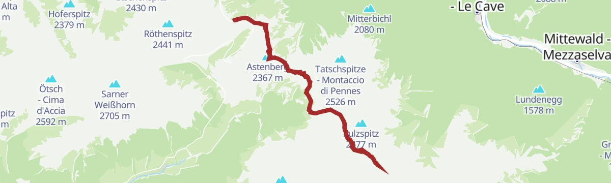
Open route SterzingFrom the Penserjoch pass to the Jakobsspitze
A long ridge traverse from the Penser Joch over the Astenberg and past the Flaggersee and the Marburger Hütte to the Jakobsspitze, with a rope on the last steep step.
- 20.7 km
- Distance
- 1 549 m
- Ascent
- 10 h 7 min
- Duration
- 65
- Check-ins
- Jakobspitz 2 742 m
- Astenberg 2 367 m
- Lorenzenspitz 2 620 m
- Niedereck - Dosso Basso 2 304 m
- Penser Joch - Passo di Pennes 2 211 m
- Alpenrosenhof 2 215 m
- +5
Open route SterzingFrom the Penserjoch to the Flagger jag
A long crossing from the Penser Joch along the crest and under the Tagewaldhorn to the Flaggersee and the Marburger Hütte at the Flaggerscharte.
- 18.4 km
- Distance
- 1 267 m
- Ascent
- 8 h 28 min
- Duration
- 50
- Check-ins
- Astenberg 2 367 m
- Niedereck - Dosso Basso 2 304 m
- Penser Joch - Passo di Pennes 2 211 m
- Alpenrosenhof 2 215 m
- Flaggerschartenhütte - Rifugio Forcella Vallaga 2 481 m
- Flaggersee - Lago di Vallaga 2 480 m
- +2
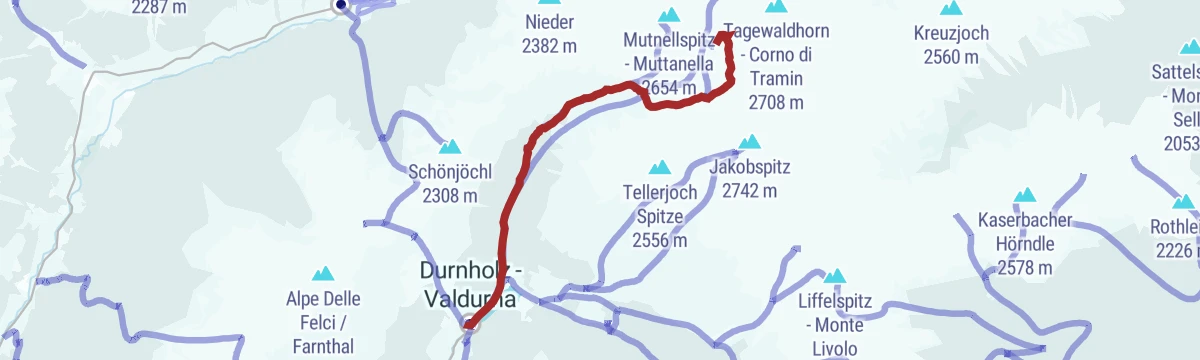
Open route SterzingFrom the Penserjoch pass to the Tagewaldhorn
A ridge route from the Penser Joch by the Traminer Scharte and the north-west arête, over stony ground to the 2,706 m Tagewaldhorn.
- 16.8 km
- Distance
- 1 282 m
- Ascent
- 8 h 21 min
- Duration
- 43
- Check-ins
- Astenberg 2 367 m
- Tagewaldhorn - Corno di Tramin 2 708 m
- Niedereck - Dosso Basso 2 304 m
- Penser Joch - Passo di Pennes 2 211 m
- Alpenrosenhof 2 215 m
- Traminer Scharte - Forcella Tramin 2 380 m
- +1
Open route Sterzing
No routes of this kind in Sarentino/Sarntal yet.
The region's own picks
Featured route
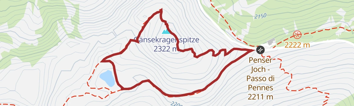
Penserjoch lake and Gänsekragen
A short climb from the Passo Pennes to the small lake below it and on up the Gänsekragen, returning along the eastern ridge.
Planning a trip to Sarentino/Sarntal?
Everything else Trentino-Alto Adige/Südtirol has, in one place


Take Sarentino/Sarntal with you into the mountains
Every route on this page with 3D terrain, GPX navigation and offline maps — including the valleys with no signal.
Data sources
- Official website: suedtirol.info ↗
- Routes and highlights: Sterzing, Pfitsch und Freienfeld, Partschins - Rabland - Töll, Sterzing, E5 Alps Crossing
- Published as open data by the tourist boards named above.
- Region summary generated from the board's own material.
