
 Historic site




Curated by Partschins - Rabland - Töll
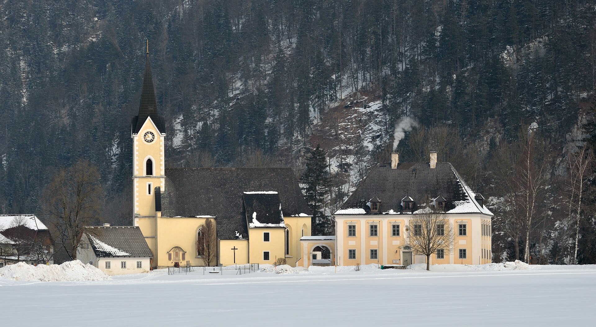
San Pancrazio/St. Pankraz
The lowest village of the Val d'Ultimo, on the wooded slopes below the Naturns high ridge.
- 7Highlights
- 14Routes
- Featured summit · Laugen
Highlights
All 7 from neighbouring places
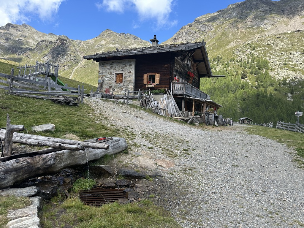
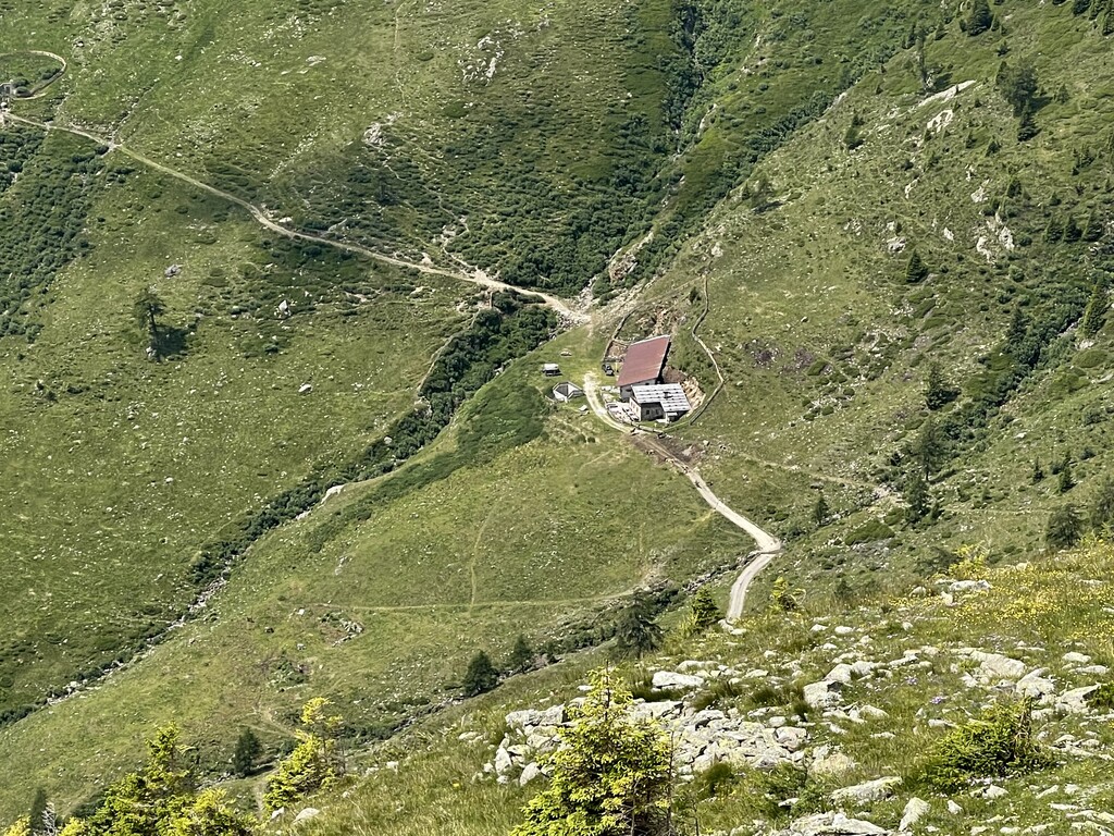
Malga Innerfalkomai
5.8 km away, in Ultimo/Ulten
A dairy hut on the Falkomai pastures of the Ultental, high on the shady side of the valley in the comune of Ultimo.
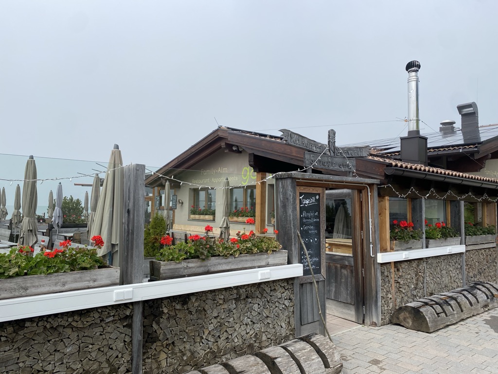
Sterzing, Pfitsch und FreienfeldFamily-Alm Gampl
7.4 km away, in Lana/Lana
A dairy hut on the wooded slopes above Lana, west of Merano at the mouth of the Val d'Ultimo.
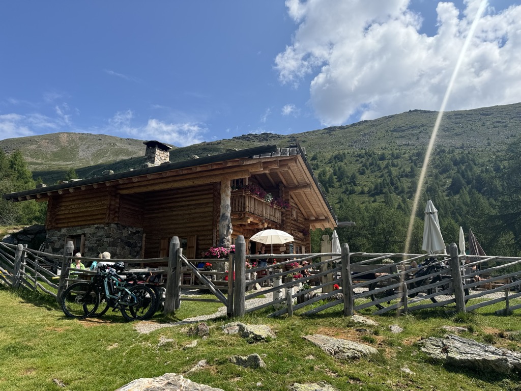
Malga Kühberg
9.7 km away, in Ultimo/Ulten
A dairy hut on the high pastures above the Val d'Ultimo, in the comune of Ultimo, reached by forest track from the valley farms.
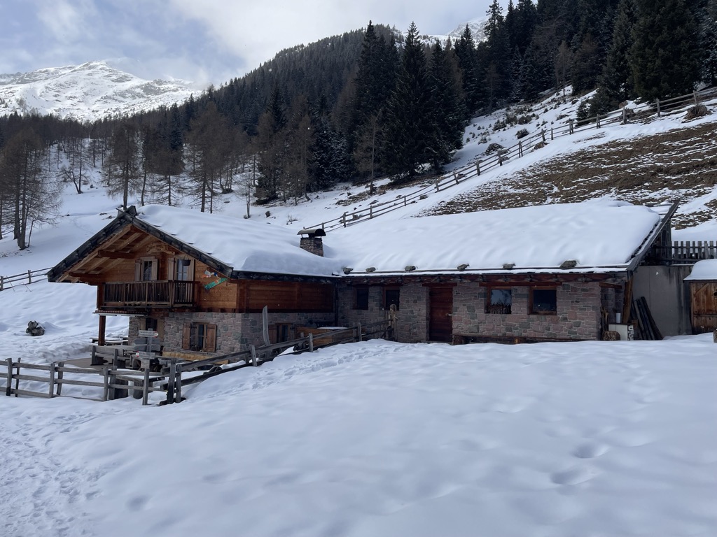
Sterzing, Pfitsch und FreienfeldMalga "Untere Kessel Alm"
8.2 km away, in Proves/Proveis
A dairy hut on the pastures above Proves, in the German-speaking upper Val di Non.
Sterzing, Pfitsch und FreienfeldMalga Manzara (Stierberg)
10.6 km away, in Proves/Proveis
A dairy hut on the Stierberg pastures above Proves, between the Val di Non and the Val d'Ultimo.
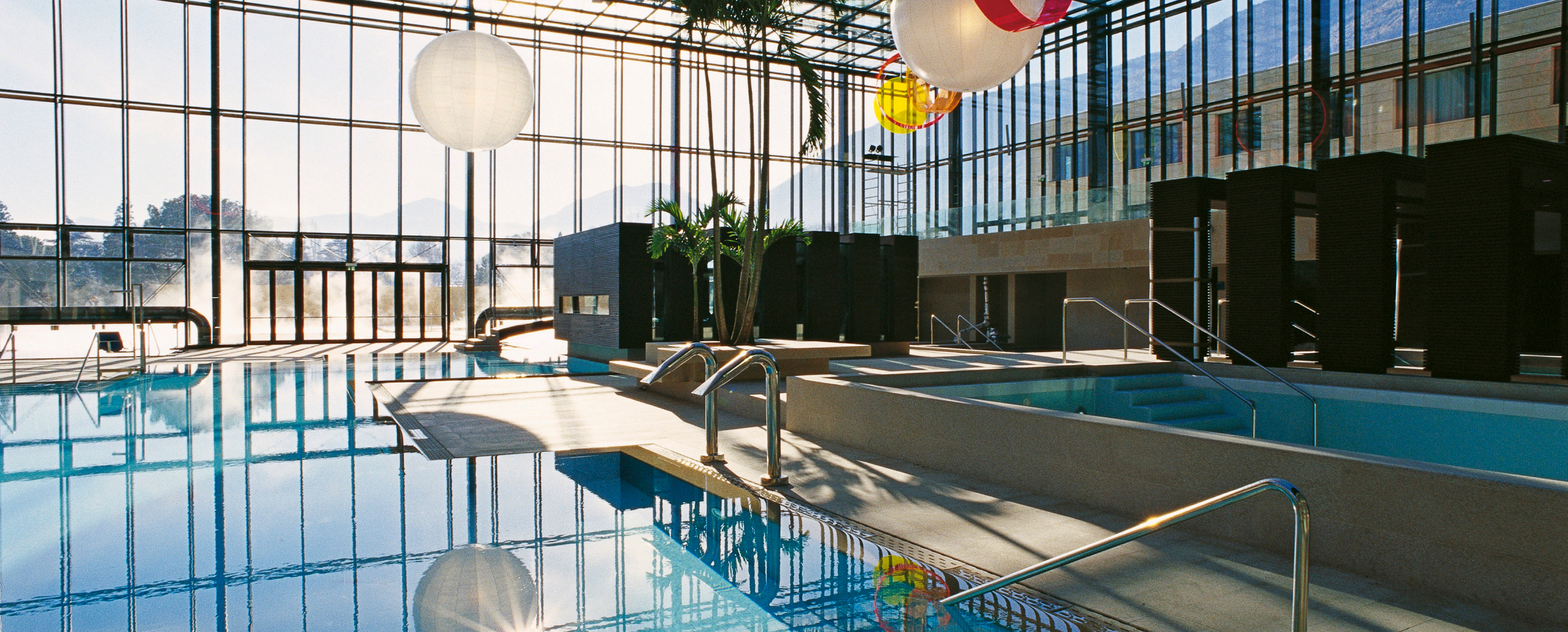
Sterzing, Pfitsch und FreienfeldTerme Merano
13.1 km away, in Merano/Meran
Thermal pools in Merano under a glass cube by Matteo Thun, with a park along the Passirio.
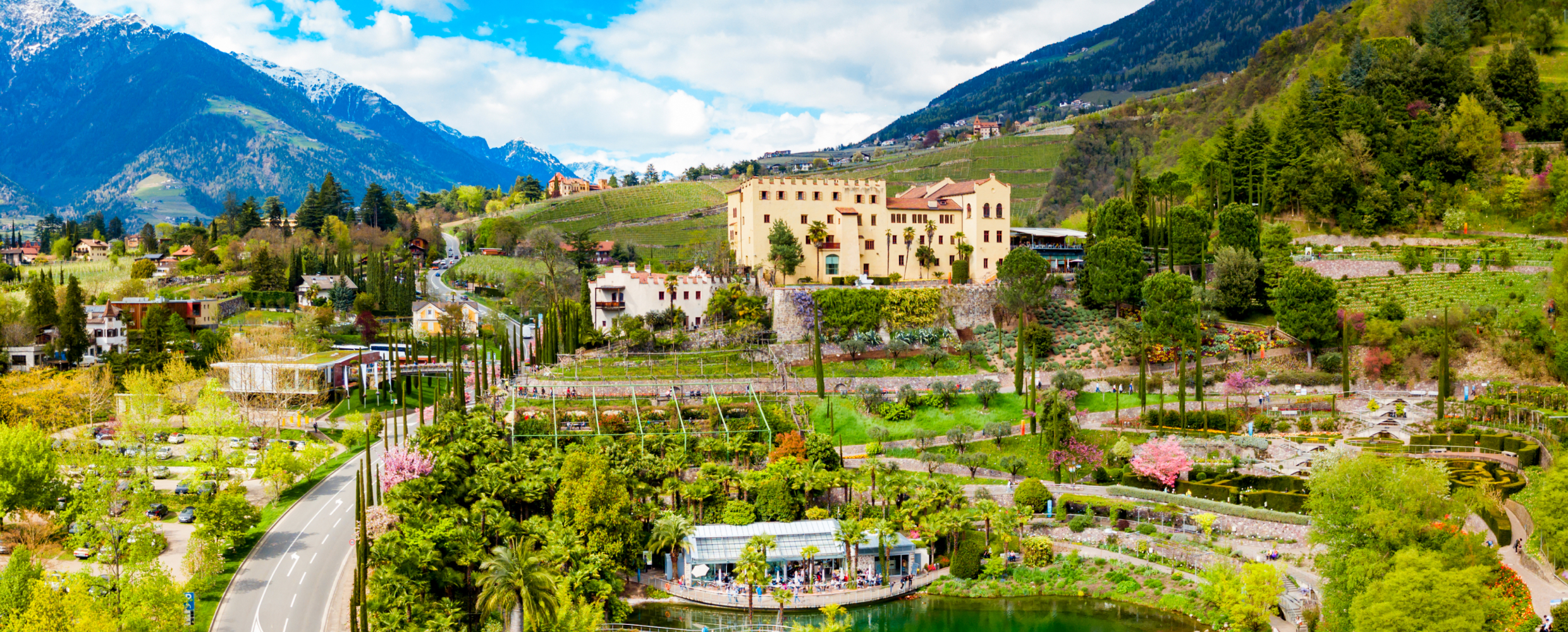
Giardini di Castel Trauttmansdorff
13.4 km away, in Merano/Meran
Terraced botanic gardens around a castle above Merano, planted in zones from Mediterranean to Alpine.
Nothing of this kind in San Pancrazio/St. Pankraz.
Routes
Escursione alla malga "Gampen Alm"
An easy walk from the Passo delle Palade car park on trails 8 and 24 to the Gampen hut, also reachable by forest road.
- 4.5 km
- Distance
- 216 m
- Ascent
- 1 h 27 min
- Duration
- 5
- Check-ins
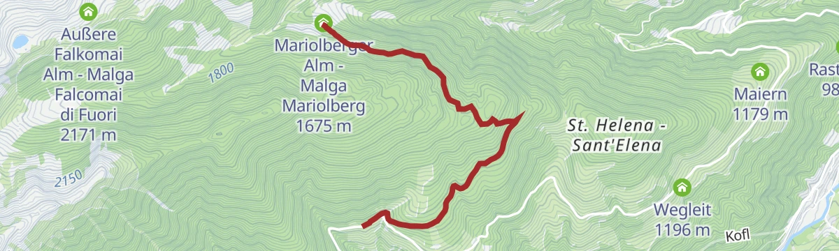
Open route Partschins - Rabland - TöllEscursione al Hochjoch
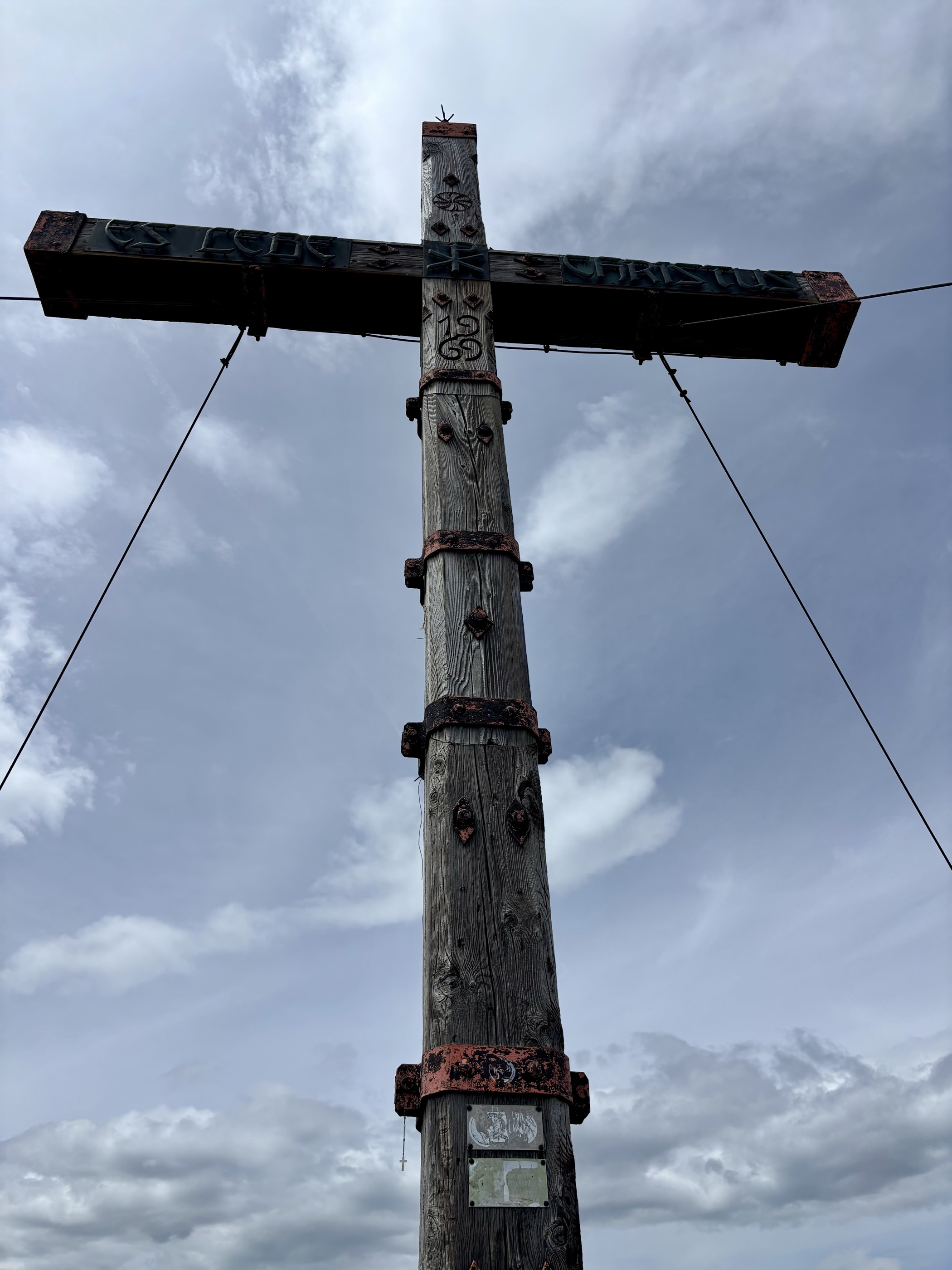
A climb from the Sant'Elena car park on path 8 through larch wood past the Peilstein to the summit cross of the Hochjoch above the Ultental.
- 12.1 km
- Distance
- 841 m
- Ascent
- 5 h 36 min
- Duration
- 12
- Check-ins
 Hochjoch 2 365 m
 Mariolberger Alm - Malga Mariolberg 1 675 m
- Innere Falkomai Alm - Malga Falcomai di Dentro 2 050 m
Open route Partschins - Rabland - TöllMonte San Vigilio - malga dell'Orso - Alta Guardia di Naturno
A climb from the San Vigilio lift by the Orso dairy and the Naturno alp to the Rauher Buhel knoll and the Naturnser Hochwart.
- 11.3 km
- Distance
- 1 014 m
- Ascent
- 4 h 54 min
- Duration
- 79
- Check-ins
- Naturnser Hochwart 2 608 m
- Martscheinberg - Monte Marcegno 2 019 m
- Naturnser Alm - Malga Naturno 1 912 m
- Gasthof Jocher - Albergo Giogo 1 771 m
- Gasthof Sessellift 1 821 m
- Bärenbadalm - Malga Bagno dell'Orso 1 705 m
- +2
Open route Partschins - Rabland - TöllEscursione alla malga "Mariolberg"
An easy climb from the car park by Sant'Elena above San Pancrazio to the Mariolberg alp, which serves its own cheese and yoghurt.
- 3.6 km
- Distance
- 284 m
- Ascent
- 1 h 26 min
- Duration
- 5
- Check-ins
Open route Partschins - Rabland - TöllEscursione alla malga "Innerfalkomai"
A walk from the Sant'Elena car park on path 8 to the Innerfalkomai dairy, open from mid-June to mid-September and serving meals.
- 10.6 km
- Distance
- 547 m
- Ascent
- 3 h 57 min
- Duration
- 10
- Check-ins
Open route Partschins - Rabland - TöllFoiana - Bagni di Foiana - Plazzoles - Monte Luco
A long climb from Foiana by the old baths and Plazzoles to Monte Luco, whose double summit is reached by the gentle south ridge.
- 13.7 km
- Distance
- 1 777 m
- Ascent
- 7 h 14 min
- Duration
- 46
- Check-ins
- Laugen 2 434 m
- Innerberg 1 757 m
 Laugensee - Lago del Monte Luco 2 182 m
- Gfrillner Alm - Malga di Caprile 1 838 m
- Völlaner Badl 840 m
- Obertalmuehle 663 m
- +7
Open route Partschins - Rabland - TöllSentiero dei bagni di S. Pancrazio
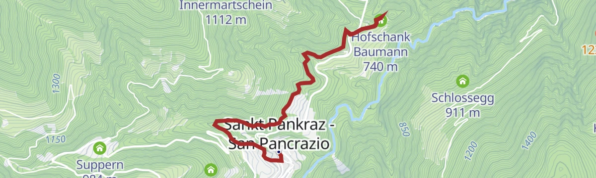
A short uneven path past the sites of old bath houses at San Pancrazio, with a mineral spring caught above the quiet Lotterbad.
- 1.6 km
- Distance
- 62 m
- Ascent
- 28 min
- Duration
- 3
- Check-ins
Open route Partschins - Rabland - TöllDal Monte San Vigilio fino la guardia Alta di Naturno
A long climb from the San Vigilio lift by the Orso dairy and the Naturno alp to the Rauher Buhel and the Hochwart at the head of the plateau.
- 19.1 km
- Distance
- 1 043 m
- Ascent
- 7 h 25 min
- Duration
- 41
- Check-ins
- Naturnser Hochwart 2 608 m
- Martscheinberg - Monte Marcegno 2 019 m
- Gasthof Jocher - Albergo Giogo 1 771 m
- Gasthof Sessellift 1 821 m
 Vigiljoch - Monte San Vigilio 1 747 m
- Nörderscharte 2 372 m
- +1
Open route Partschins - Rabland - TöllSentiero geologico di S. Pancrazio
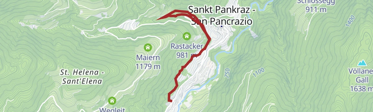
A wild path along the Valsura at San Pancrazio, with boards on the old practice of floating logs down the stream.
- 3.8 km
- Distance
- 178 m
- Ascent
- 1 h 20 min
- Duration
- 2
- Check-ins
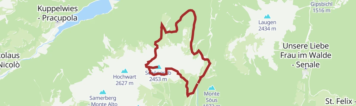
Open route Partschins - Rabland - TöllLungo itinerario ad anello nel cuore del gruppo delle Maddalene passando per la Cima Belmonte
A long ring on the boundary between Trentino and South Tyrol, between the Val di Non and the Val d'Ultimo, with huts open for food.
- 15.5 km
- Distance
- 949 m
- Ascent
- 6 h 32 min
- Duration
- 36
- Check-ins
Sentiero naturalistico S. Pancrazio
A nature trail of about five kilometres at San Pancrazio, laid out to show the range of habitats in the Ultental.
- 6.3 km
- Distance
- 209 m
- Ascent
- 1 h 59 min
- Duration
- 2
- Check-ins
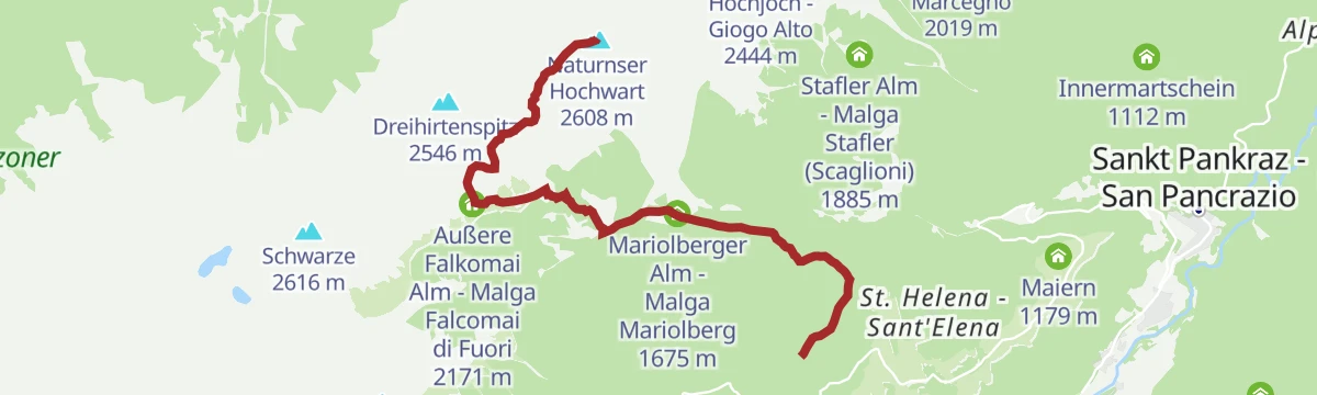
Open route Partschins - Rabland - TöllEscursione in montagna sul Naturnser Hochwart
A climb to the Naturnser Hochwart at 2,608 m on the divide between the Venosta and Ultimo valleys, with two dairies for a stop on the way.
- 7.2 km
- Distance
- 1 060 m
- Ascent
- 4 h 9 min
- Duration
- 25
- Check-ins
- Naturnser Hochwart 2 608 m
- Außere Falkomai Alm - Malga Falcomai di Fuori 2 171 m
- Mariolberger Alm - Malga Mariolberg 1 675 m
- Leger Alm - Malga Leger 2 025 m
Open route Partschins - Rabland - TöllSentiero dei mulini di S. Pancrazio
A shaded path into the Val Kirchbach past the ruins of the Steg and Aicher mills and the old millstone of the Linserhof.
- 5.0 km
- Distance
- 308 m
- Ascent
- 2 h 7 min
- Duration
Open route Partschins - Rabland - TöllUltner Talweg
A long valley route from San Pancrazio along the sunny slope to Santa Valburga, returning by the floor of the Ultental.
- 23.8 km
- Distance
- 918 m
- Ascent
- 7 h 50 min
- Duration
- 5
- Check-ins
- Schmied 925 m
- Tourismusvereinigung Ultental - Deutschnonsberg 731 m
- Laas 1 012 m
- Angererhüttl 1 000 m
- Kläranlage 970 m
- Jägerhäusl 962 m
- +4
Open route Partschins - Rabland - Töll
No routes of this kind in San Pancrazio/St. Pankraz yet.
The region's own picks
Featured route
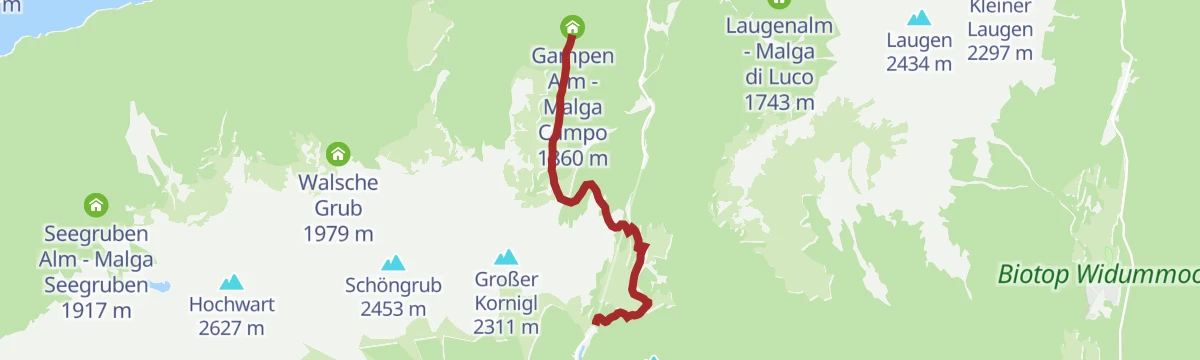
Escursione alla malga "Gampen Alm"
An easy walk from the Passo delle Palade car park on trails 8 and 24 to the Gampen hut, also reachable by forest road.
Planning a trip to San Pancrazio/St. Pankraz?
Everything else Trentino-Alto Adige/Südtirol has, in one place


Take San Pancrazio/St. Pankraz with you into the mountains
Every route on this page with 3D terrain, GPX navigation and offline maps — including the valleys with no signal.
Data sources
- Official website: ultental-valdultimo.com ↗
- Routes and highlights: Partschins - Rabland - Töll, Sterzing, Pfitsch und Freienfeld, Italia.it, Visit Trentino
- Published as open data by the tourist boards named above.
- Region summary generated from the board's own material.
