
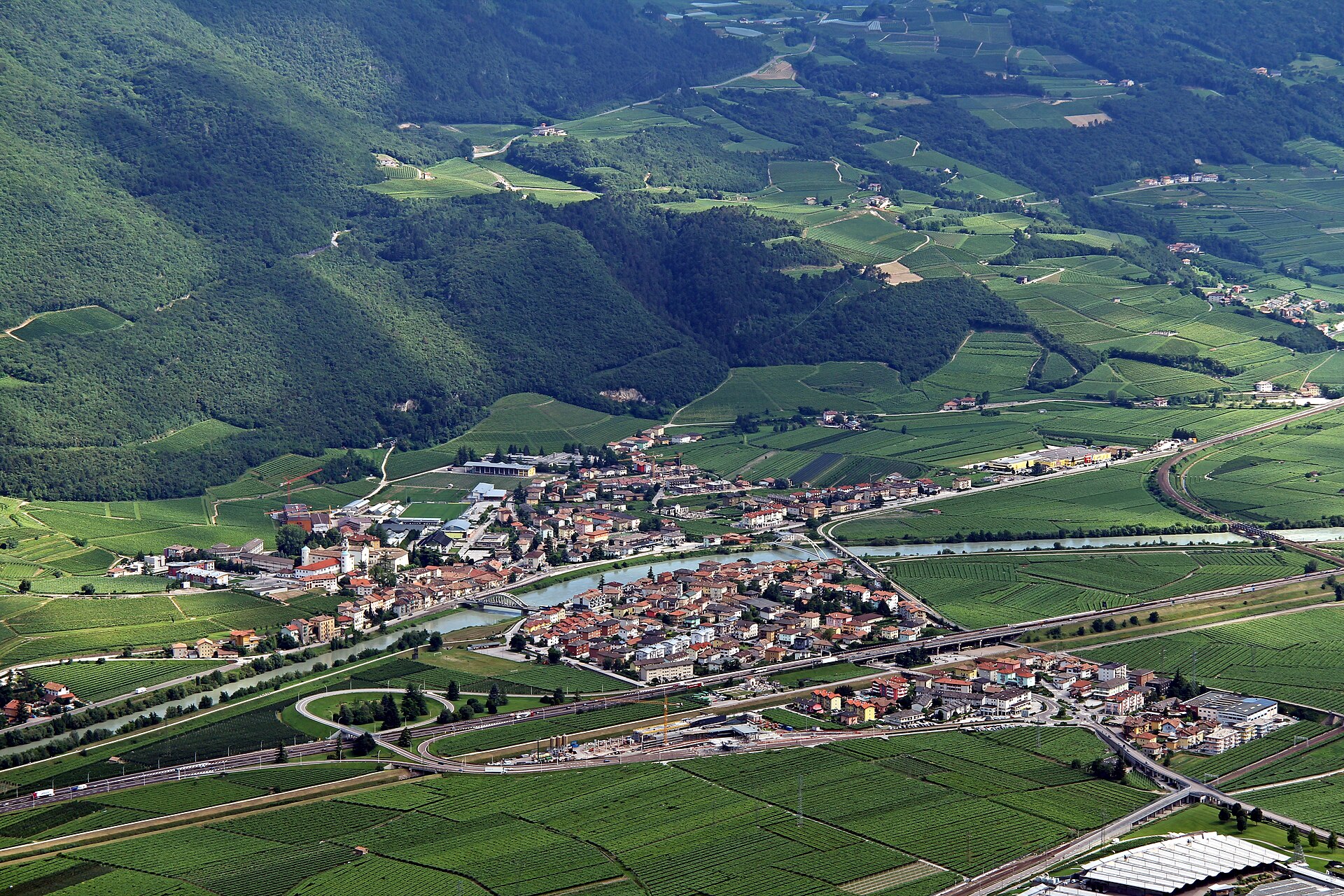
Curated by APT Dolomiti di Brenta e Paganella
San Michele all'Adige
Adige valley village of the Augustinian abbey, now the agricultural institute and a museum of Trentino country life.
- 3Highlights
- 33Routes
- Featured summit · Doss dei Furli
Highlights
All 3 from neighbouring places
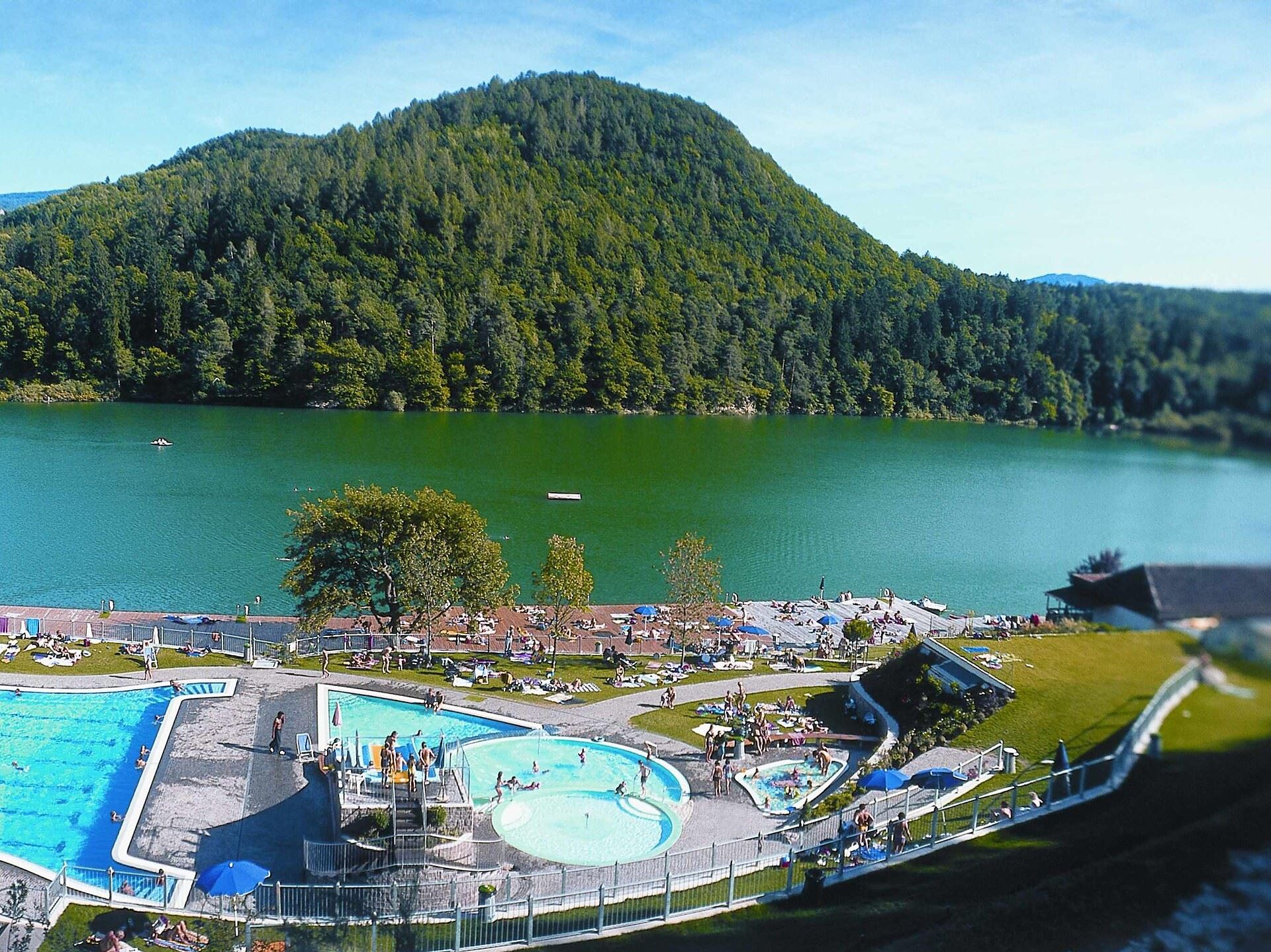
Tour in bicicletta:Lago di Monticolo- Lago di Caldaro
13.3 km away, in Cortaccia sulla strada del vino/Kurtatsch an der Weinstraße
A cycle route linking the Monticolo and Caldaro lakes through the Bassa Atesina vineyards.
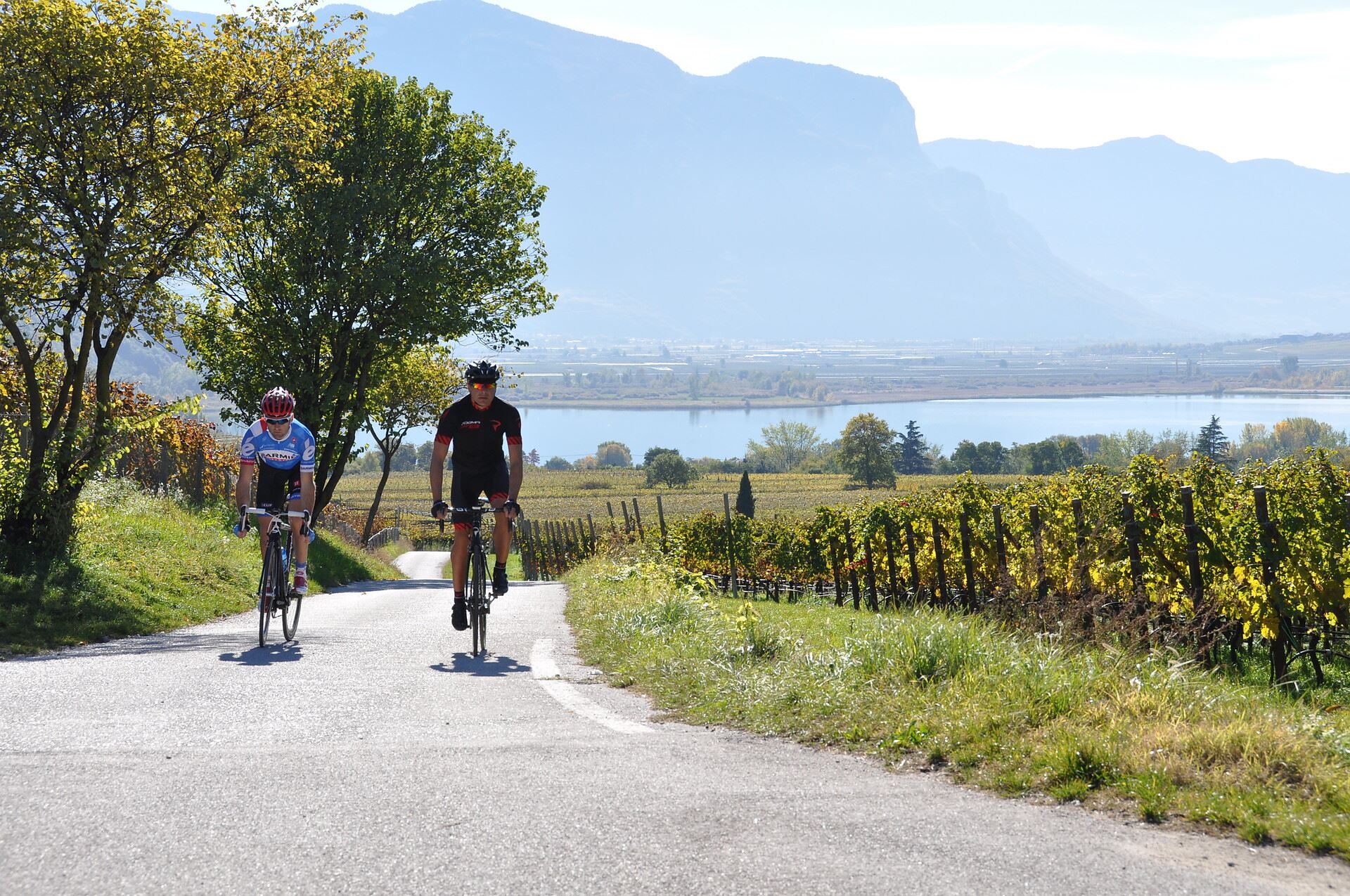
Tour in bicicletta: Lago di Caldaro
13.4 km away, in Cortaccia sulla strada del vino/Kurtatsch an der Weinstraße
A cycle route from the Cortaccia vineyards down to the Caldaro lake, the warmest bathing lake in the Alps.
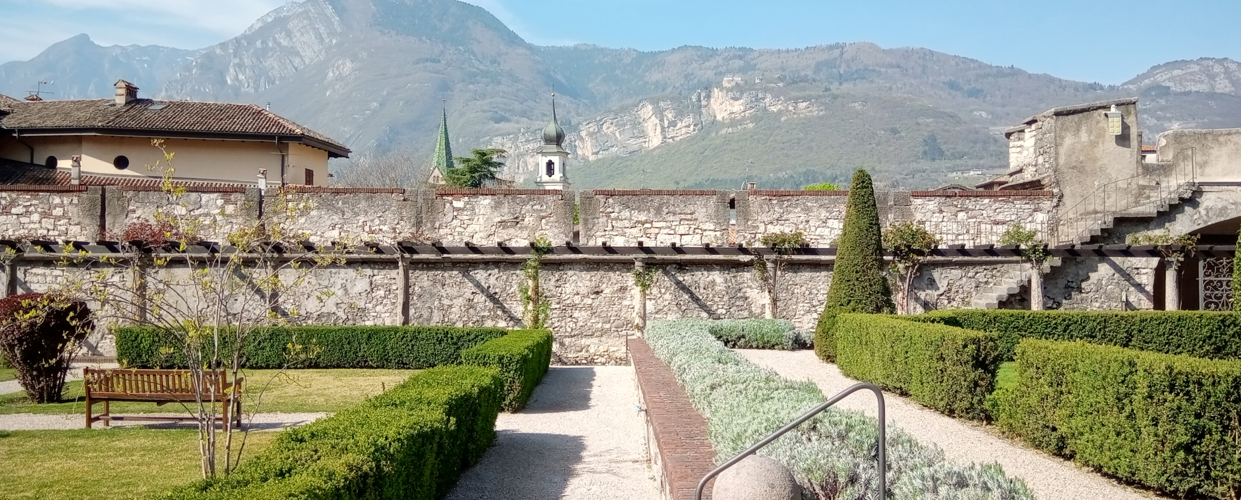
Castello del Buonconsiglio
14.5 km away, in Trento
The residence of Trento's prince-bishops for four centuries, with the Torre Aquila and its Cycle of the Months.
 Historic site
Nothing of this kind in San Michele all'Adige.
Routes
Rio Secco via ferrata
A via ferrata in the Rio Secco gorge above San Michele all'Adige, on the porphyry flank of the lower Cembra valley.
- 2.5 km
- Distance
- 569 m
- Ascent
- 3 h 52 min
- Duration
- 11
- Check-ins
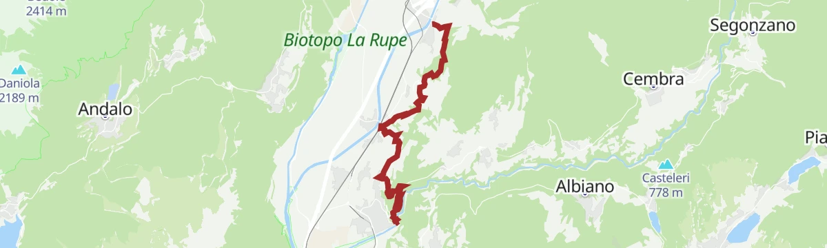
Open route APT Dolomiti di Brenta e PaganellaFiume Adige AP1
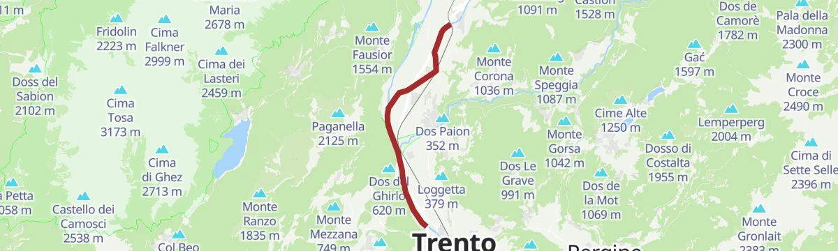
A flat riverside stretch along the Adige at San Michele, on the embankment path through the valley floor orchards.
- 2.3 km
- Distance
- 0 m
- Ascent
- 32 min
- Duration
Faedo - Zise - Roccolo del Sauch (SAT 409)
A climb on SAT 409 from Faedo by Zise to the Roccolo del Sauch, on the wooded ridge between the Adige and Cembra valleys.
- 6.7 km
- Distance
- 513 m
- Ascent
- 2 h 27 min
- Duration
- 12
- Check-ins
 Passo della Crocola 948 m
- Pozze 1 054 m
- Zise 1 245 m
 Bait del Felice 1 011 m
- Bait del Moro 1 197 m
- Baita Forestale 1 142 m
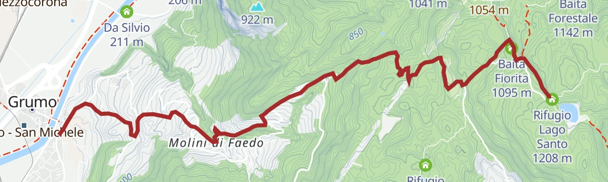
Open route APT Dolomiti di Brenta e PaganellaSan Michele a/A - Lago Santo (SAT 414)
A long ascent from the Adige floor through the Rotaliana vineyards and Faedo to Lago Santo, ending among huts roofed with porphyry slabs.
- 8.9 km
- Distance
- 1 001 m
- Ascent
- 4 h 10 min
- Duration
- 13
- Check-ins
Open route APT Dolomiti di Brenta e PaganellaCampionissimi - Palù di Giovo
A short, steep road climb off the Adige valley floor onto the Giovo terrace, past the cappella di San Valentino and Passo Croce.
- 6.4 km
- Distance
- 456 m
- Ascent
- 51 min
- Duration
- 3
- Check-ins
Open route VisitTrentinoCastelfeder – Trento – Garda
A cycle-path route down the Adige from Ora to Lake Garda, through orchards, vineyards and the old river towns.
- 92.1 km
- Distance
- 198 m
- Ascent
- 8 h 25 min
- Duration
- 172
- Check-ins
 Prati Del Diavolo 208 m
- Taio 189 m
- Garda Dolomiti Azienda per il turismo S.p.A. 69 m
- Soardi Center 212 m
- cappella di San Rocco 213 m
- Passo San Giovanni 272 m
- +15
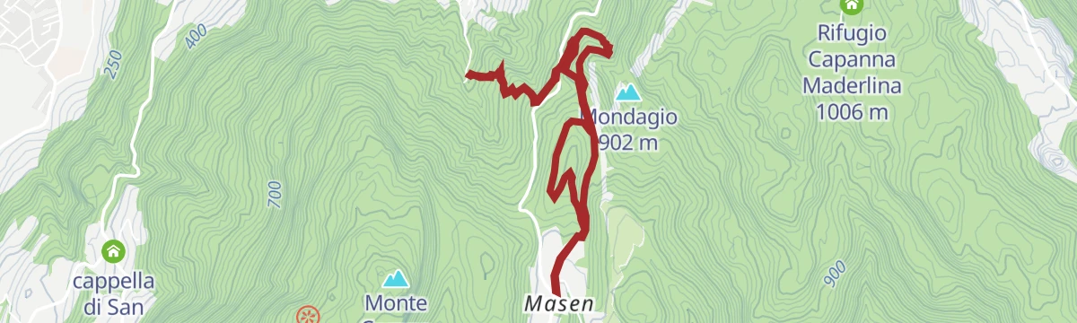
Open route Sterzing, Pfitsch und FreienfeldMasen Faedo mining path
An unpaved trail following the medieval canòpi who dug for copper and silver here, with carvings, legends and wooden play stations, but steps that rule out pushchairs.
- 5.8 km
- Distance
- 261 m
- Ascent
- 2 h
- Duration
Open route APT Dolomiti di Brenta e PaganellaAt Roccolo del Sauch, passing through Malga Monte Alto
A walk to the Roccolo del Sauch by way of Malga Monte Alto, the old summer pasture of Giovo, where boundary stones cut with MSM still stand in the wood.
- 8.3 km
- Distance
- 315 m
- Ascent
- 2 h 43 min
- Duration
- 7
- Check-ins
Open route Rete di Riserve Val di Cembra AvisioThe stage of 2022 Giro d'Italia Women.
A race-length road route from the Rotaliana plain to San Lorenzo Dorsino, with three long climbs by way of Andalo, Molveno and Passo Santel.
- 113.6 km
- Distance
- 3 474 m
- Ascent
- 13 h 10 min
- Duration
- 137
- Check-ins
- Fontanella 845 m
- Lago Park Hotel 826 m
- Grand Hotel Molveno 838 m
- Tre3 1 037 m
- Albergo El Paso 1 036 m
- Passo Santel 1 040 m
- +20
Open route APT Dolomiti di Brenta e PaganellaPath in the Forest
A short forest climb from the Mach Foundation grounds at San Michele to viewpoints over the Adige, near the Maso San Valentino chapel.
- 4.2 km
- Distance
- 235 m
- Ascent
- 1 h 39 min
- Duration
Open route APT Dolomiti di Brenta e PaganellaCampionissimi
A climb from San Michele all'Adige to Maso Roncador in Giovo, the road named for the Moser cycling family born there.
- 6.4 km
- Distance
- 456 m
- Ascent
- 2 h 14 min
- Duration
- 3
- Check-ins
Mendola route
A big day from Mezzocorona with the Denno ramp and then the Passo della Mendola, returning through Val di Non orchards and Wine Road vineyards.
- 98.7 km
- Distance
- 1 622 m
- Ascent
- 10 h 17 min
- Duration
- 123
- Check-ins
- Dosso Santa Margherita 307 m
- Passo della Mendola - Mendelpass 1 363 m
- Azienda per il Turismo Val di Non 1 364 m
- La Rocchetta 2019 270 m
- Castel Ringberg 306 m
- Paradiso 1 282 m
- +11
Open route VisitTrentinoEnotrek CAI Calco 12km
A wine-country walk out of Lavis, starting at the Giardino dei Ciucioi hanging garden and climbing over Dos Paion and the Doss dei Furli.
- 12.4 km
- Distance
- 612 m
- Ascent
- 4 h 33 min
- Duration
- 3
- Check-ins
Open route APT Dolomiti di Brenta e PaganellaCastelfeder – Trient – Garda
The same Adige descent to Lake Garda on well-signed paths, at a gradient that suits riders of any standard.
- 91.6 km
- Distance
- 125 m
- Ascent
- 8 h 18 min
- Duration
- 110
- Check-ins
- Garda Dolomiti Azienda per il turismo S.p.A. 69 m
- cappella di San Rocco 213 m
- Passo San Giovanni 272 m
- Chiesa di Sant'Antonio 223 m
- Villa Eleganza 228 m
 Mori - Ala 167 m
- +7
Open route Südtirols SüdenA1, Associazione Pescatori Dilettanti Trentini
A long flat riverside stretch on the Adige near Mezzocorona, on water managed by the Trentino anglers.
- 13.8 km
- Distance
- 0 m
- Ascent
- 3 h 13 min
- Duration
- 2
- Check-ins
Open route Trentino FishingTour to the Garda Lake
A long, nearly level ride down to the north end of Lake Garda and the villages along its shore.
- 96.2 km
- Distance
- 166 m
- Ascent
- 8 h 45 min
- Duration
- 110
- Check-ins
- Garda Dolomiti Azienda per il turismo S.p.A. 69 m
- cappella di San Rocco 213 m
- Passo San Giovanni 272 m
- ENI 197 m
- Villa Eleganza 228 m
- Visitrovereto.it 190 m
- +7
Open route Südtirols SüdenFiume Adige A2
A long level route beside the Adige near San Michele, following the river through orchards and vineyards on the valley floor.
- 14.2 km
- Distance
- 66 m
- Ascent
- 3 h 30 min
- Duration
- 1
- Check-ins
Open route Trentino FishingFrom the Plateau to the "Wine-road"
A long road tour down to the Adige and north along the South Tyrolean wine road as far as the Lago di Caldaro, returning over Passo Santel.
- 100.2 km
- Distance
- 1 290 m
- Ascent
- 10 h 6 min
- Duration
- 105
- Check-ins
- Tre3 1 037 m
- Albergo El Paso 1 036 m
- Passo Santel 1 040 m
- La Rocchetta 2019 270 m
- Maso Cervara 245 m
- APT Dolomiti Paganella 1 021 m
- +14
Open route APT Dolomiti di Brenta e PaganellaFossa di Caldaro
A flat route along the Fossa di Caldaro drainage canal, through the reclaimed farmland of the Adige valley floor.
- 10.4 km
- Distance
- 0 m
- Ascent
- 2 h 26 min
- Duration
Open route Trentino FishingGita giornaliera al Lago di Garda
A road-bike day out to Lake Garda over the Passo San Giovanni, almost flat for its whole length.
- 98.6 km
- Distance
- 131 m
- Ascent
- 8 h 56 min
- Duration
- 98
- Check-ins
- Prati Del Diavolo 208 m
- Soardi Center 212 m
- cappella di San Rocco 213 m
- Passo San Giovanni 272 m
- Chiesa di Sant'Antonio 223 m
- ENI 197 m
- +12
Open route Sterzing, Pfitsch und FreienfeldNassi - Upper Cadino - Faedo (SAT 408)
A climb on SAT 408 from Nassi through the upper Cadino woods and over the Dosson to Faedo, high above the Adige.
- 6.5 km
- Distance
- 689 m
- Ascent
- 3 h 14 min
- Duration
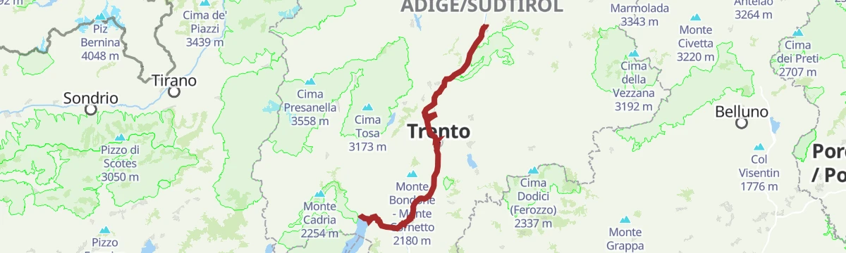
Open route APT Dolomiti di Brenta e PaganellaConquering mount Bondone
A very long road ride from the Andalo plateau down to La Rocchetta and over the Passo Santel to the Monte Bondone col at 1,651 m.
- 116.3 km
- Distance
- 2 698 m
- Ascent
- 12 h 52 min
- Duration
- 96
- Check-ins
- Falesia Grotta Sardagna 551 m
- Valico di Monte Bondone 1 651 m
- Tre3 1 037 m
- Albergo El Paso 1 036 m
- Passo Santel 1 040 m
- La Rocchetta 2019 270 m
- +12
Open route APT Dolomiti di Brenta e PaganellaRoadbike: Valle di Cembra
A hundred-kilometre road tour from the Weinstraße down to Lavis, then up the terraced Cembra valley and back over the San Lugano pass.
- 99.7 km
- Distance
- 1 141 m
- Ascent
- 9 h 55 min
- Duration
- 64
- Check-ins
- Prati Del Diavolo 208 m
- Cappella della Beata Vergine del Rosario della nuova Pompei 985 m
- Al Ponte - Brückenwirt 764 m
- Ristorante Bar Vecchia Stazione 1 010 m
- B&B Casa Giovannelli 1 013 m
- Hotel Pausa 922 m
- +10
Open route Südtirols SüdenGita giornaliera a Trento
An easy day on the Adige cycle path from the Bolzano basin down to Trento.
- 56.4 km
- Distance
- 22 m
- Ascent
- 5 h 2 min
- Duration
- 43
- Check-ins
- Prati Del Diavolo 208 m
- ENI 197 m
- Castelfeder - Grill-Imbiss - ristoro 221 m
- gas 212 m
- BikeBreak - Bicigrill Faedo 208 m
- ex Lord Hotel 210 m
- +3
Open route Sterzing, Pfitsch und FreienfeldCiclovia della Valle dell'Adige
The Adige valley cycleway the length of Trentino, linking Bolzano province with Verona.
- 81.3 km
- Distance
- 41 m
- Ascent
- 7 h 16 min
- Duration
- 42
- Check-ins
Roadbike: Südtiroler - Trientner Weinstraßen
A road tour south under the cliffs to Mezzocorona and Lavis, climbing to Pressano above the Trentino vineyards before the Adige path home.
- 73.5 km
- Distance
- 810 m
- Ascent
- 7 h 17 min
- Duration
- 38
- Check-ins
- Prati Del Diavolo 208 m
- Turismusverein Kurtatsch - Informazioni Turistiche Cortaccia 344 m
- Pub Pizzeria Weinstraße 295 m
- Passo Croce 616 m
- gas 212 m
- Da Silvio 211 m
- +6
Open route Südtirols SüdenTour of the Val di Cembra and Pinè
A long day from Trento over four moderate climbs, through the Piana Rotaliana hills, the earth pyramids of the Val di Cembra and the Pinè plateau.
- 86.8 km
- Distance
- 1 991 m
- Ascent
- 9 h 35 min
- Duration
- 38
- Check-ins
- Dolomiti Energia 1 026 m
- ENI 197 m
- APT Piné 974 m
- Chiosco alle Piramidi 601 m
- Maso Sveseri 1 092 m
- Sega Vècia 777 m
- +6
Open route VisitTrentinoFrom Ora to Trento
A level run up the Adige cycle path from Ora to Trento, past Castelfeder and the Faedo bike stop.
- 48.1 km
- Distance
- 21 m
- Ascent
- 4 h 18 min
- Duration
- 35
- Check-ins
- Prati Del Diavolo 208 m
- Castelfeder - Grill-Imbiss - ristoro 221 m
- gas 212 m
- BikeBreak - Bicigrill Faedo 208 m
- ex Lord Hotel 210 m
- Da Silvio 211 m
- +2
Open route Südtirols SüdenWeinstraße - Vino 50
An easy loop through the vineyards south of Bolzano, running from Margreid along the Adige past the Bicigrill at Faedo.
- 41.5 km
- Distance
- 55 m
- Ascent
- 3 h 44 min
- Duration
- 29
- Check-ins
- Prati Del Diavolo 208 m
- gas 212 m
- BikeBreak - Bicigrill Faedo 208 m
- Da Silvio 211 m
- La Cacciatora 210 m
- SV Margreid - GS Magrè 213 m
- +3
Open route Südtirols SüdenGravel tour - Lower Valle di Cembra
A gravel route through the wooded Cembra valley, with technical descents and the terraced vineyards below.
- 31.3 km
- Distance
- 1 071 m
- Ascent
- 3 h 47 min
- Duration
- 17
- Check-ins
- Passo della Crocola 948 m
- Pozze 1 054 m
- Roccolo 940 m
- Passo Croce 616 m
- Laghet dele Buse dei Zenti 950 m
- Rifugio Sauch 950 m
- +3
Open route APT Fiemme CembraGiro del Vino 50
A loop through the vineyards of the Piana Rotaliana between Trento and Bolzano, climbing onto the Avisio slopes past the cappella di San Valentino.
- 54.6 km
- Distance
- 656 m
- Ascent
- 5 h 28 min
- Duration
- 12
- Check-ins
- gas 212 m
- ex Lord Hotel 210 m
- Da Silvio 211 m
- La Cacciatora 210 m
- Ex stazione della funivia "Direttissima della Paganella" 202 m
- cappella di San Valentino 449 m
- +4
Open route APT Dolomiti di Brenta e PaganellaGiro Rotaliana Adige
A flat valley circuit through the Piana Rotaliana vineyards, following the Adige cycle path down past Lavis and Nave San Felice.
- 56.7 km
- Distance
- 70 m
- Ascent
- 5 h 6 min
- Duration
- 4
- Check-ins
- Ex stazione della funivia "Direttissima della Paganella" 202 m
- cabina riduzione gas metano 208 m
- Consorzio Turistico Piana Rotaliana-Königsberg 226 m
Open route APT Dolomiti di Brenta e PaganellaThe Avisiane hills
A ride over the hills above the Avisio, crossing the Passo Croce and the Croce delle Serre.
- 25.4 km
- Distance
- 777 m
- Ascent
- 2 h 59 min
- Duration
- 4
- Check-ins
Open route APT Dolomiti di Brenta e Paganella












No routes of this kind in San Michele all'Adige yet.
The region's own picks

Featured route
Fiume Adige AP1
A flat riverside stretch along the Adige at San Michele, on the embankment path through the valley floor orchards.
Planning a trip to San Michele all'Adige?
Everything else Trentino-Alto Adige/Südtirol has, in one place


Take San Michele all'Adige with you into the mountains
Every route on this page with 3D terrain, GPX navigation and offline maps — including the valleys with no signal.
Data sources
- Official website: italia.it ↗
- Routes and highlights: APT Dolomiti di Brenta e Paganella, Südtirols Süden, Visit Trentino, VisitTrentino, Sterzing, Pfitsch und Freienfeld, Trentino Fishing, Kaltern an der Weinstraße, Italia.it, Rete di Riserve Val di Cembra Avisio, APT Fiemme Cembra
- Published as open data by the tourist boards named above.
- Region summary generated from the board's own material.
