
Curated by Sterzing, Pfitsch und Freienfeld
San Martino in Passiria/St. Martin in Passeier
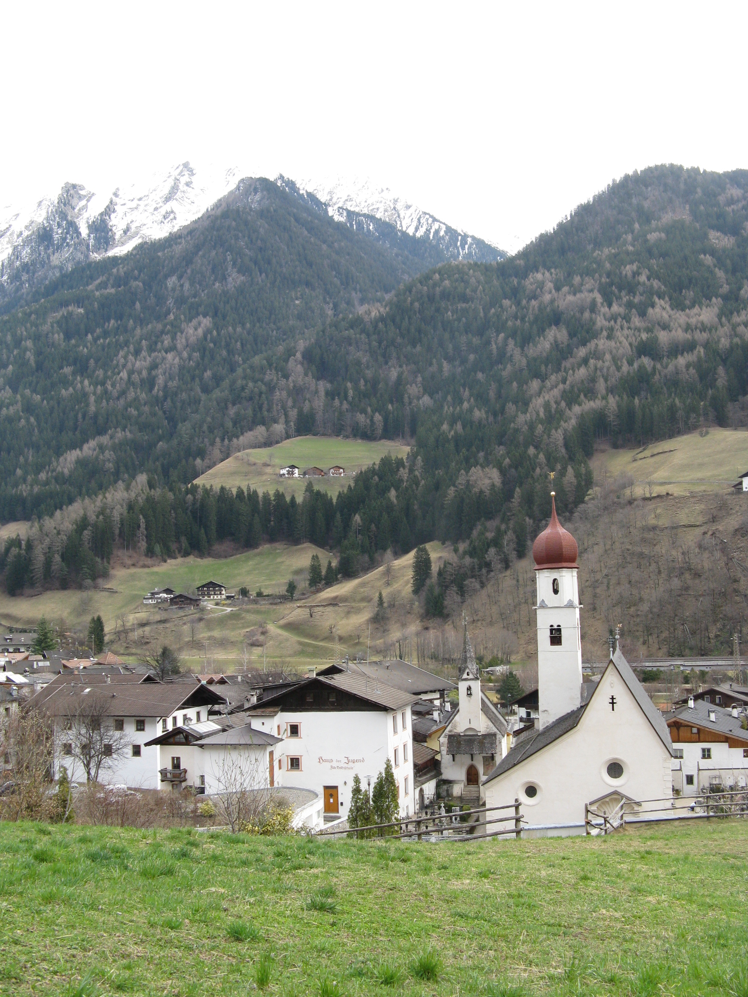
Val Passiria village north of Merano, with the Passirio waterfall, the painters' Malerhaus, and the valley cycleway running through.
Photo: Reise-Line · CC BY-SA 3.0 licence
- 15Highlights
- 12Routes
Highlights
All 15 from neighbouring places
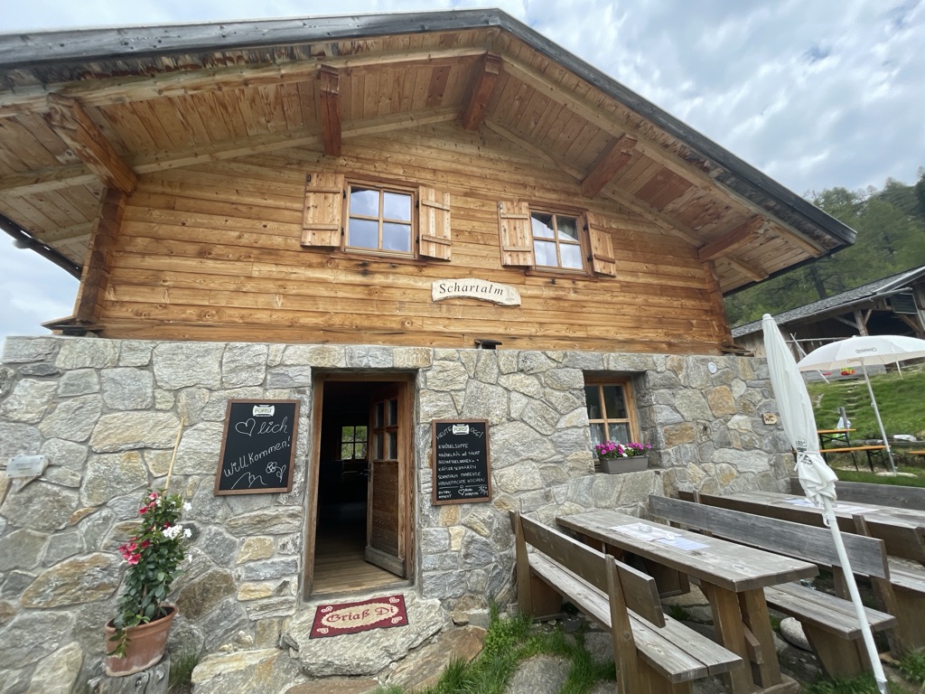
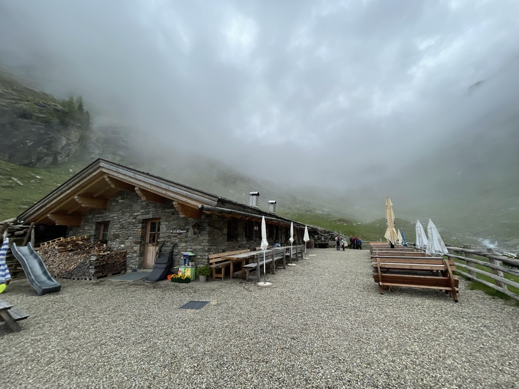
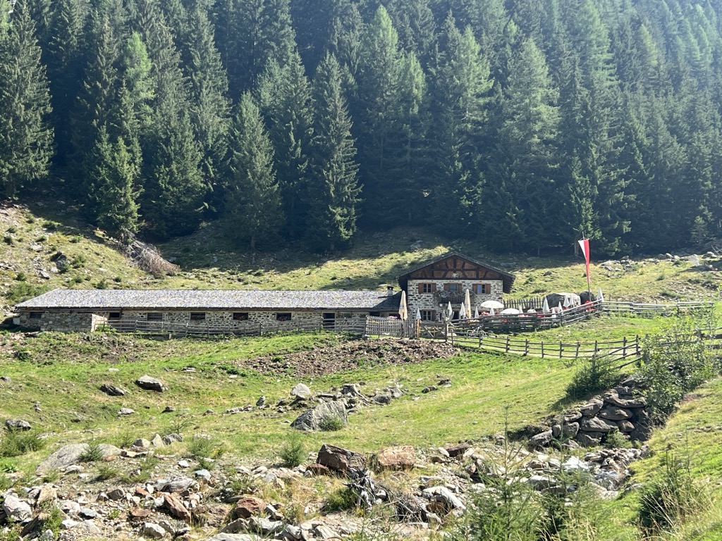
Malga Schartalm
2.1 km away, in Moso in Passiria/Moos in Passeier
A dairy hut on the Schart pastures of the Pfelderer Tal, above Plan in the comune of Moso in Passiria.
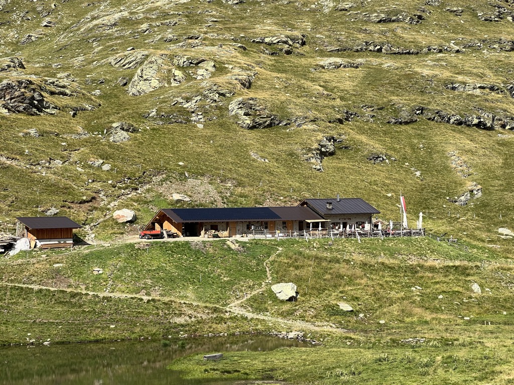
Sterzing, Pfitsch und FreienfeldMalga Ulfaseralm
2.4 km away, in Moso in Passiria/Moos in Passeier
A dairy hut on the pastures above the hamlet of Ulfas, high on the western side of the Passeier valley in the comune of Moso in Passiria.
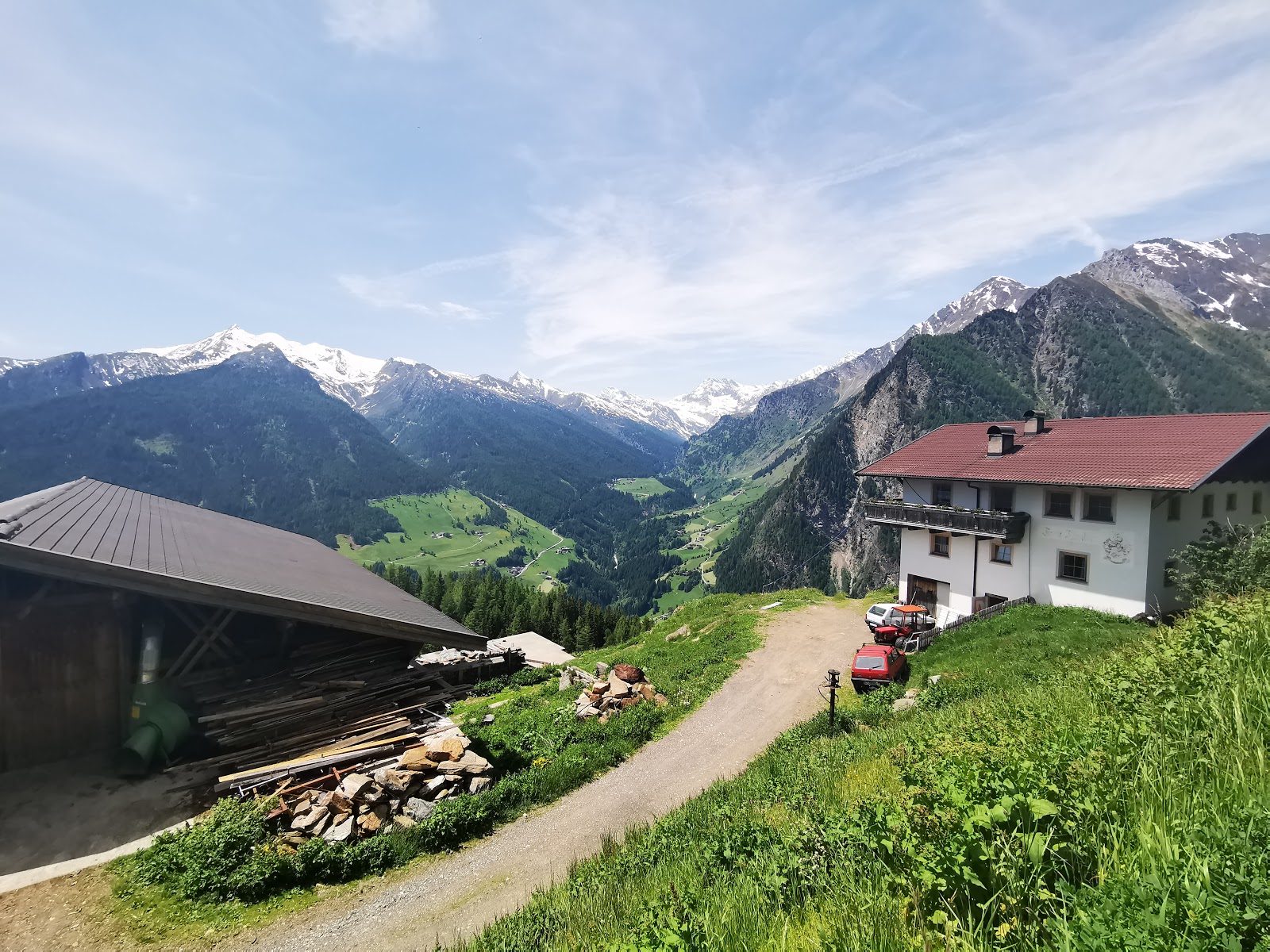
Sterzing, Pfitsch und FreienfeldMalga Faglsalm
3.3 km away, in Rifiano/Riffian
A dairy hut on the pastures above Rifiano, at the mouth of the Val Passiria north of Merano.
Sterzing, Pfitsch und FreienfeldMalga Farmazon Alm
3.5 km away, in Moso in Passiria/Moos in Passeier
A dairy hut on the Farmazon pastures of the Pfelderer Tal, above Plan in the comune of Moso in Passiria.
Sterzing, Pfitsch und FreienfeldMalga Obisell Alm
4.7 km away, in Rifiano/Riffian
A dairy hut on the grazing slopes above Rifiano, below the Hirzer ridge on the east side of the Val Passiria.
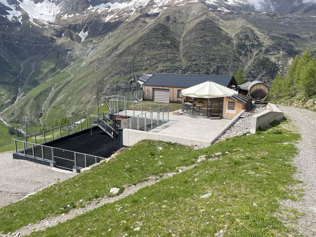
Sterzing, Pfitsch und FreienfeldGrünboden-Hütte
6.7 km away, in Moso in Passiria/Moos in Passeier
A hut in the upper Val Passiria above Moso, below the Texel group.
Malga Grünbodenhütte
6.7 km away, in Moso in Passiria/Moos in Passeier
A hut on the Grünboden pastures above Plan, in the Pfelderer Tal of the upper Passeier, in the comune of Moso in Passiria.
Sterzing, Pfitsch und FreienfeldMalga Prantacher Alm - Fartleis
7.1 km away, in San Leonardo in Passiria/St. Leonhard in Passeier
A dairy hut on the Fartleis pastures above San Leonardo in Passiria, in the upper Val Passiria.
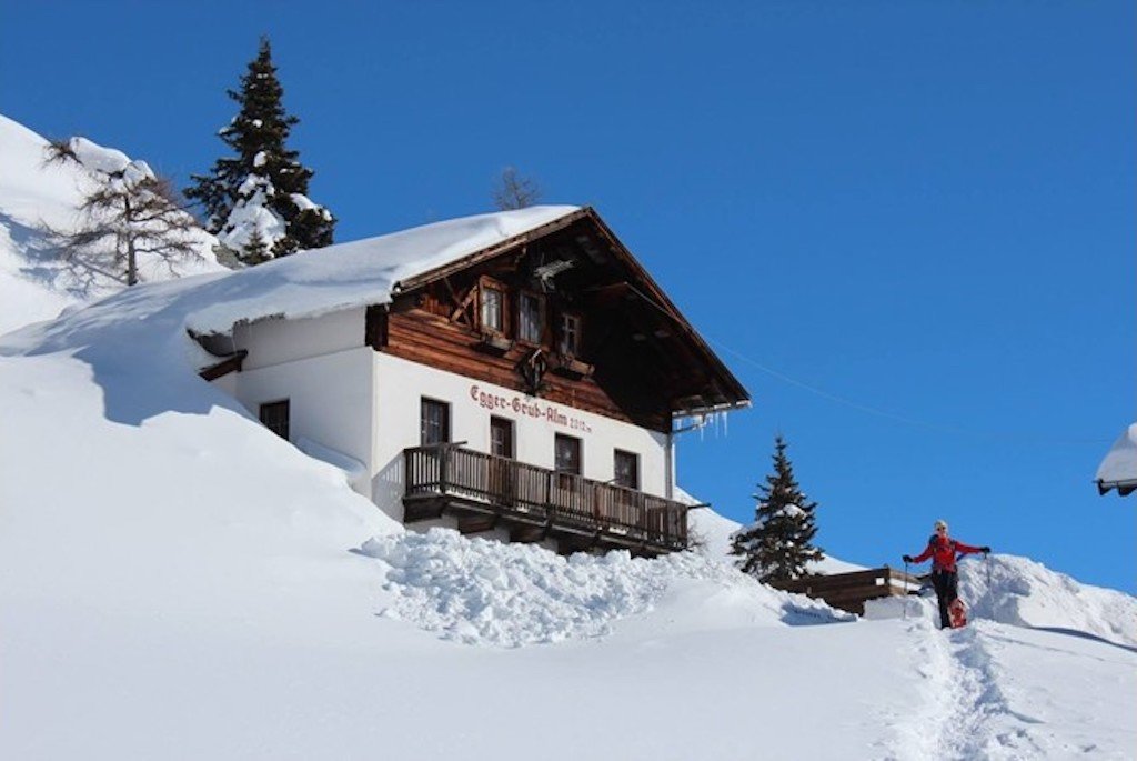
Sterzing, Pfitsch und FreienfeldMalga Egger-Grub-Alm
7.4 km away, in Moso in Passiria/Moos in Passeier
A dairy hut on the pastures above Moso in Passiria, on the eastern flank of the upper Passeier valley.
Sterzing, Pfitsch und FreienfeldMalga Faltschnal Alm
8 km away, in Moso in Passiria/Moos in Passeier
A dairy hut on the Faltschnal pastures in the Pfelderer Tal, in the comune of Moso in Passiria, on the path up from Plan.
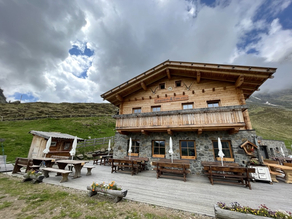
Sterzing, Pfitsch und FreienfeldMalga Lazins Alm
9.8 km away, in Moso in Passiria/Moos in Passeier
A dairy hut at the head of the Pfelderer Tal above Plan, where the paths toward the Lazinser Rötelspitze and the Eisjöchl divide.
Sterzing, Pfitsch und FreienfeldHirzerhütte - rifugio
6.4 km away, in Scena/Schenna
A refuge below the Hirzer in the Sarntal Alps above Scena, reached by the cable car from the Passeier valley and the path over the pastures.
Malga Hirzerhütte Tallner Alm
6.4 km away, in Scena/Schenna
A dairy hut on the Tallner pastures below the Hirzer, above Scena, on the high route between the Passeier valley and the Merano side.
Resegger Alm - malga
6.5 km away, in Scena/Schenna
A dairy hut on the Resegg pastures above Scena, on the slopes rising from the Merano basin into the Sarntal Alps.
Sterzing, Pfitsch und FreienfeldStafell Alm - rifugio
6.9 km away, in Scena/Schenna
A pasture hut above Scena, on the open slopes of the Sarntal Alps between the village farms and the Hirzer paths.
Sterzing, Pfitsch und Freienfeld
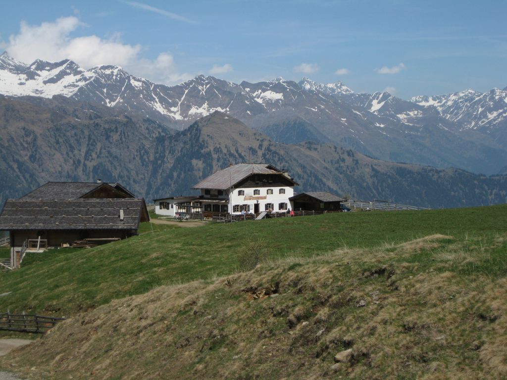
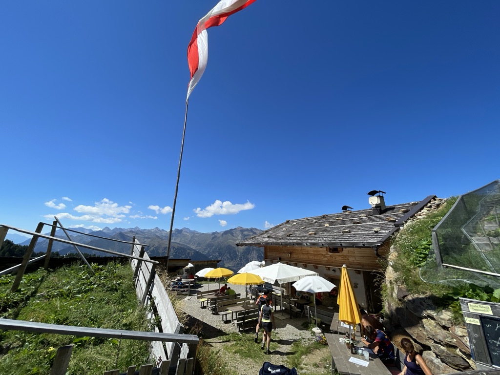
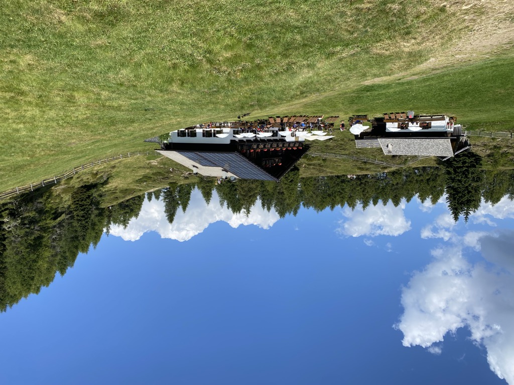
Nothing of this kind in San Martino in Passiria/St. Martin in Passeier.
Routes
Passeggiata dei masi dello scudo a Saltusio
A walk from Saltusio to Sorgente in the Passiria valley, past the old shield farmsteads on the slope.
- 5.5 km
- Distance
- 187 m
- Ascent
- 1 h 45 min
- Duration
- 11
- Check-ins
Open route Partschins - Rabland - TöllPasseggiata lungo il sentiero della roggia di Matatz/Ulfas - Waalweg
An irrigation-channel path of 1820 above Ulfas, carrying water from May to October; worth walking only in the warm months given its height, with the Ulfaser Alm on the way.
- 10.1 km
- Distance
- 199 m
- Ascent
- 2 h 51 min
- Duration
- 10
- Check-ins
Open route Partschins - Rabland - TöllTappa Alta Via di Merano 6: da Matatz alla Muta
The closing stage of the Merano high route, from Matatz in the Passiria valley across to the Muta above Tirolo, on path 24 around the Tessa group.
- 18.4 km
- Distance
- 1 203 m
- Ascent
- 7 h 35 min
- Duration
- 44
- Check-ins
 Gasthof Hochmuth 1 362 m
- Berggasthof Oberhochmuthof 1 370 m
- Longfall 1 080 m
- Gasthof Talbauer 1 208 m
- Berggasthaus Magdfeld 1 150 m
Open route Partschins - Rabland - TöllS. Martino – ristoro Pfeiftal – E5 – S. Leonardo
A walk from San Martino by the Pfeiftal inn and a stretch of the E5 to San Leonardo; icy or snowy in places in winter, and not for pushchairs.
- 5.3 km
- Distance
- 217 m
- Ascent
- 1 h 41 min
- Duration
- 5
- Check-ins
Open route Partschins - Rabland - TöllPercorso Gola "Passerschlucht"
A path through the rough gorge of the Passirio from San Leonardo up to Moso; not suited to pushchairs, wheelchairs or bikes.
- 8.0 km
- Distance
- 415 m
- Ascent
- 2 h 36 min
- Duration
- 7
- Check-ins
Open route Partschins - Rabland - TöllAlta Via di Merano - proposta della tappa n. 5: Da Plan a Montaccio
From Plan over three footbridges on trail 24 past the Bergkristall crag and the Innerhütt inn, through empty woods and scattered farms to the Christl farm above St Leonhard.
- 17.6 km
- Distance
- 321 m
- Ascent
- 5 h 27 min
- Duration
- 16
- Check-ins
Open route Partschins - Rabland - TöllSentiero Teufelsteinweg a S. Martino
A walk at San Martino following the legend of the Teufelstein, the devil's stone, on the slopes of the Passiria valley.
- 5.4 km
- Distance
- 260 m
- Ascent
- 1 h 55 min
- Duration
- 5
- Check-ins
Open route Partschins - Rabland - TöllEscursione lungo il Waalweg di Maia
An easy walk along the Maia irrigation channel from Saltusio down to Merano, on the sunny side of the Passiria valley.
- 9.4 km
- Distance
- 57 m
- Ascent
- 2 h 29 min
- Duration
- 6
- Check-ins
Open route Partschins - Rabland - TöllSentiero Norggensteig a S. Leonardo
A themed woodland path at San Leonardo built around local legends, easy going and made for children as much as adults.
- 5.3 km
- Distance
- 161 m
- Ascent
- 1 h 38 min
- Duration
- 1
- Check-ins
 Area Kneip percorso a piedi nudi in acqua fredda 634 m
Open route Partschins - Rabland - TöllS. Martino – Maso Valtelehof
A short steep climb from San Martino up to the Valtelehof farm above the Passiria valley; snow and ice in winter, and no pushchairs.
- 3.3 km
- Distance
- 513 m
- Ascent
- 1 h 59 min
- Duration
- 5
- Check-ins
Open route Partschins - Rabland - TöllPercorso circolare Cascata Gilf a S. Martino
A short family loop at San Martino to the Gilf waterfall, with resting places and a wooden marble run along the way.
- 2.3 km
- Distance
- 100 m
- Ascent
- 47 min
- Duration
Open route Partschins - Rabland - TöllS. Martino – Santuario Mora – S. Martino
A loop from San Martino out to the Mora sanctuary and back, on the valley slopes of the Passiria; can be iced in winter.
- 7.2 km
- Distance
- 208 m
- Ascent
- 2 h 12 min
- Duration
- 5
- Check-ins
Open route Partschins - Rabland - Töll


No routes of this kind in San Martino in Passiria/St. Martin in Passeier yet.
Planning a trip to San Martino in Passiria/St. Martin in Passeier?
Everything else Trentino-Alto Adige/Südtirol has, in one place


Take San Martino in Passiria/St. Martin in Passeier with you into the mountains
Every route on this page with 3D terrain, GPX navigation and offline maps — including the valleys with no signal.
Data sources
- Official website: merano-suedtirol.it ↗
- Routes and highlights: Sterzing, Pfitsch und Freienfeld, Partschins - Rabland - Töll, Italia.it
- Published as open data by the tourist boards named above.
- Region summary generated from the board's own material.
