







Curated by Dolomitiprealpi
San Gregorio nelle Alpi
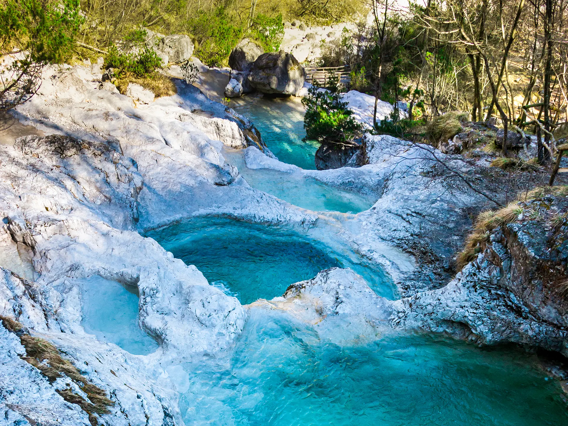
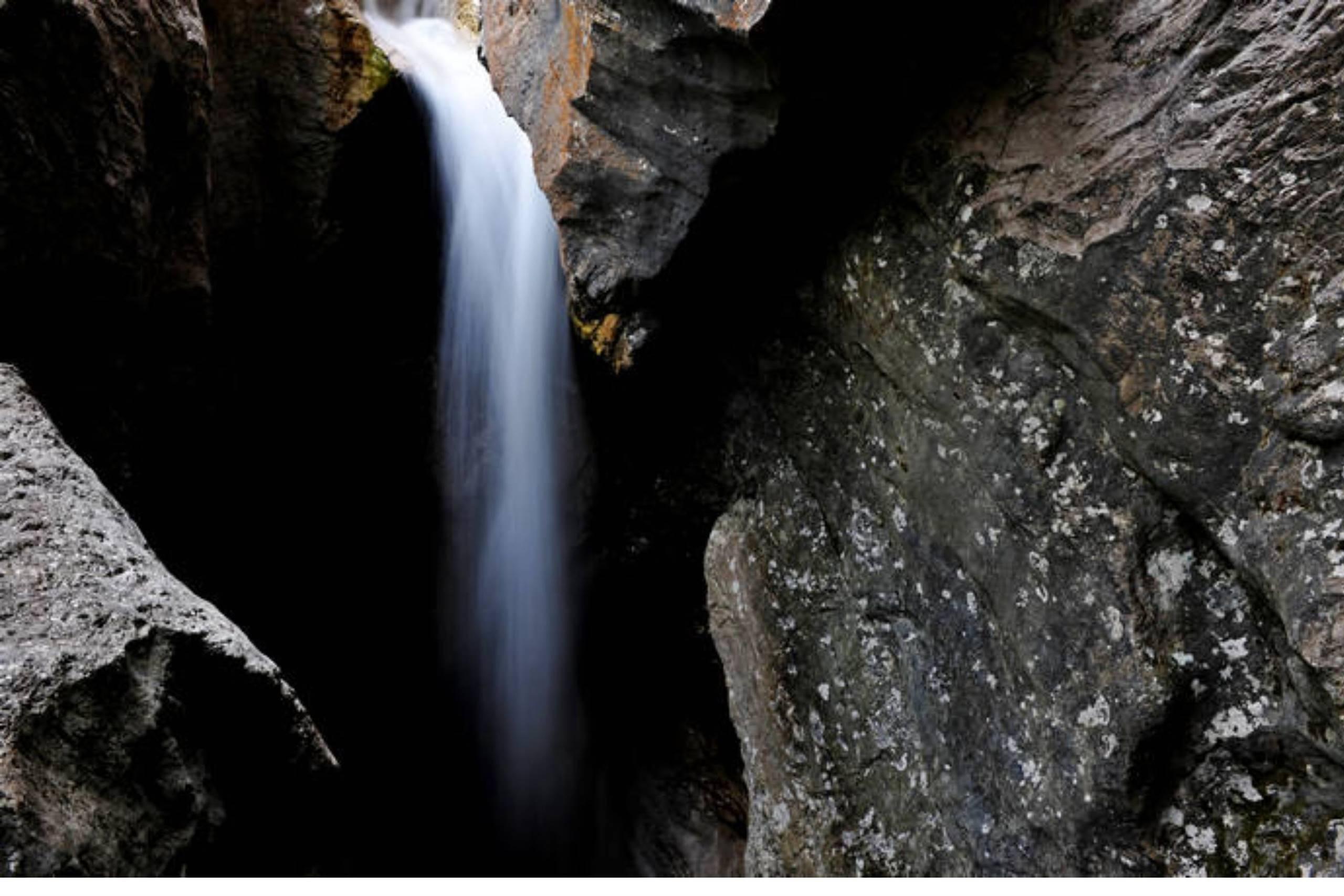
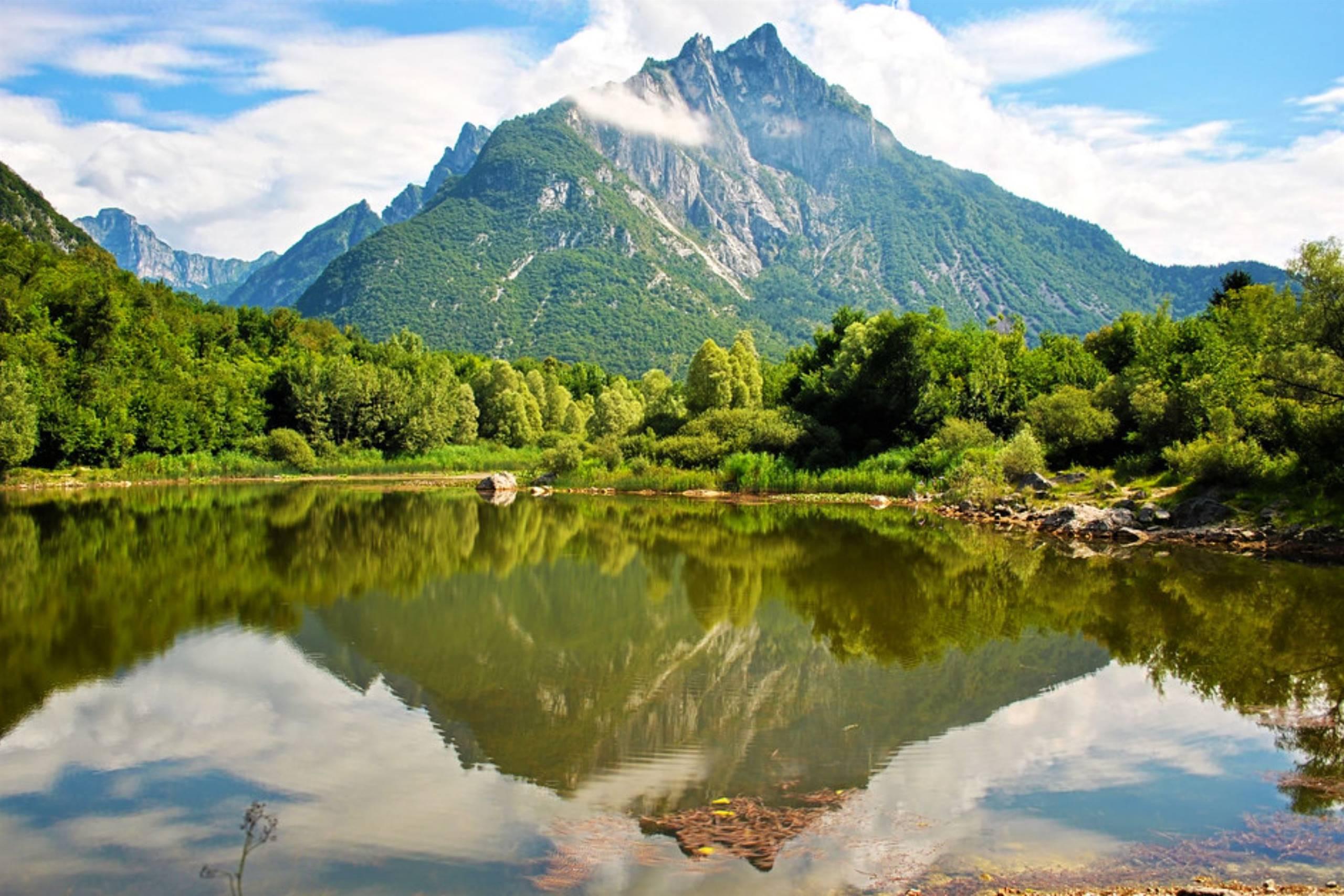
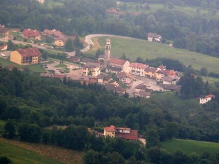
Village below the Vette Feltrine, with the Brentaz waterfall and potholes and a museum of inlay and old prints.
Photo: Giacomo Andrich The original uploader was Giacomo andrich at Italian Wikipedia . · Public domain
- 2Highlights
- 9Routes
- Featured summit · Monte Pizzocco
Highlights
13 from neighbouring places
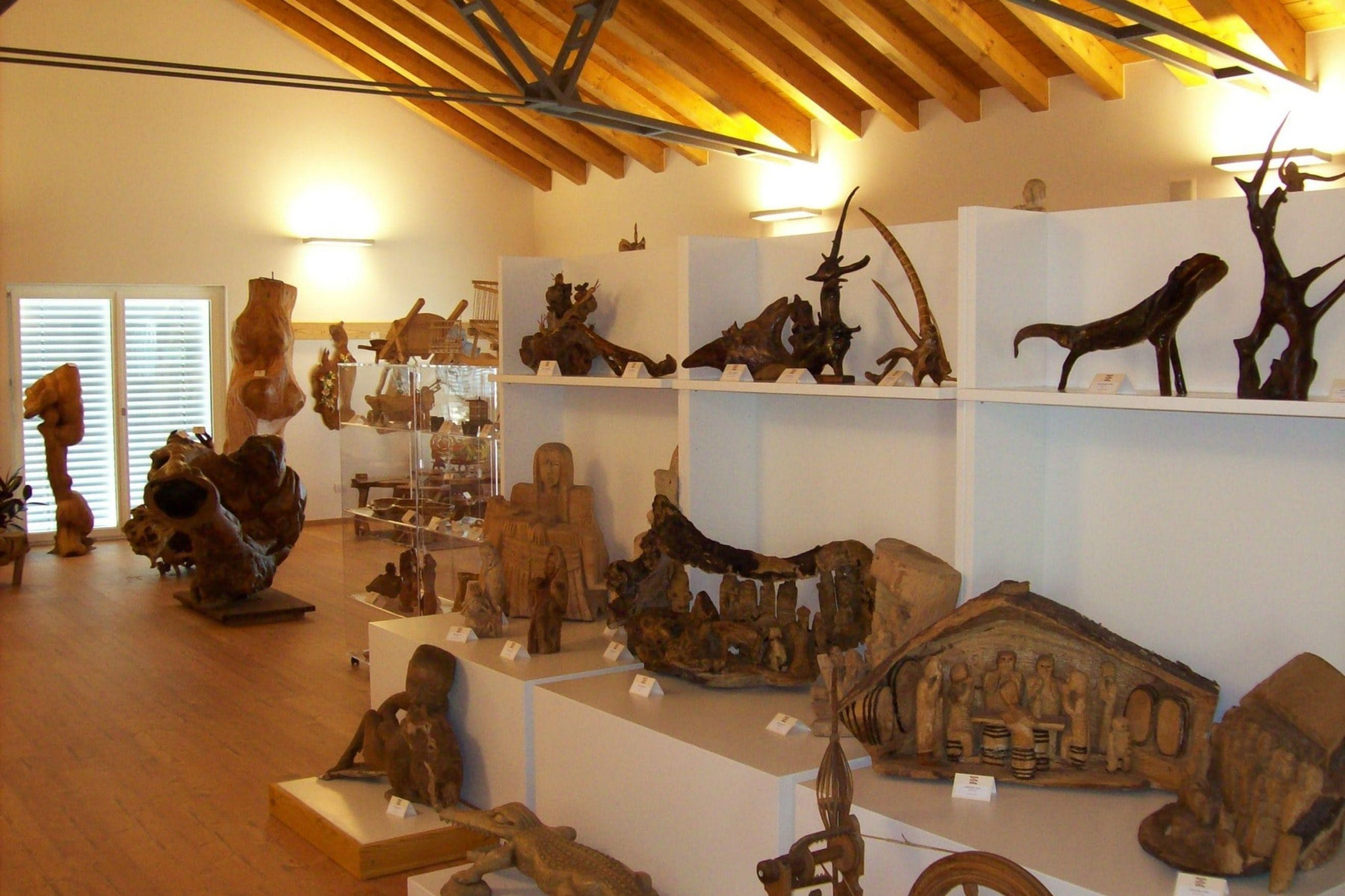
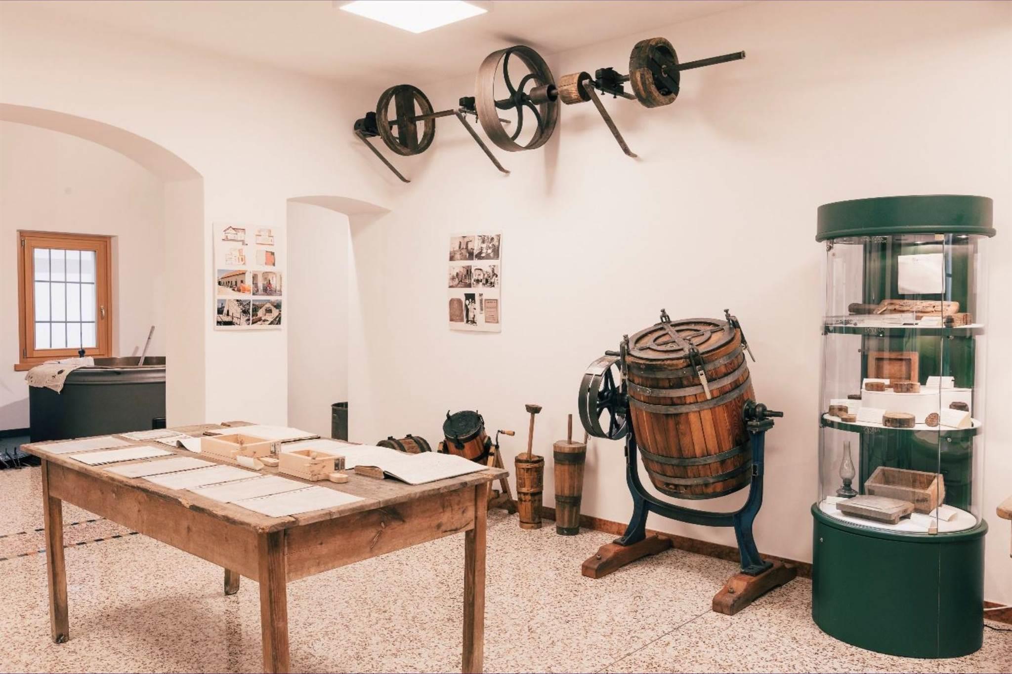
Museo delle zoche, della tarsia e delle stampe antiche
A village museum at San Gregorio nelle Alpi holding zoche, inlaid woodwork and old printed plates.
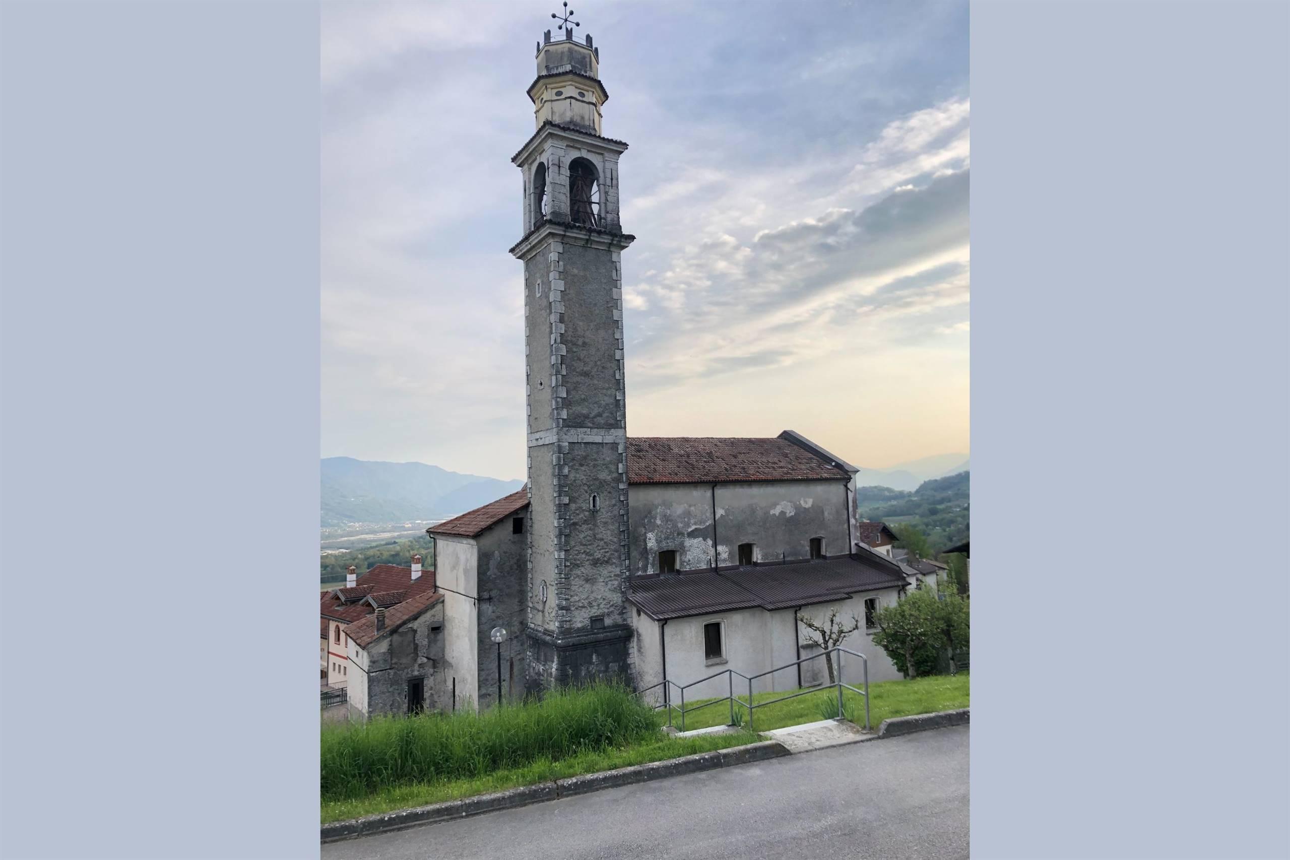
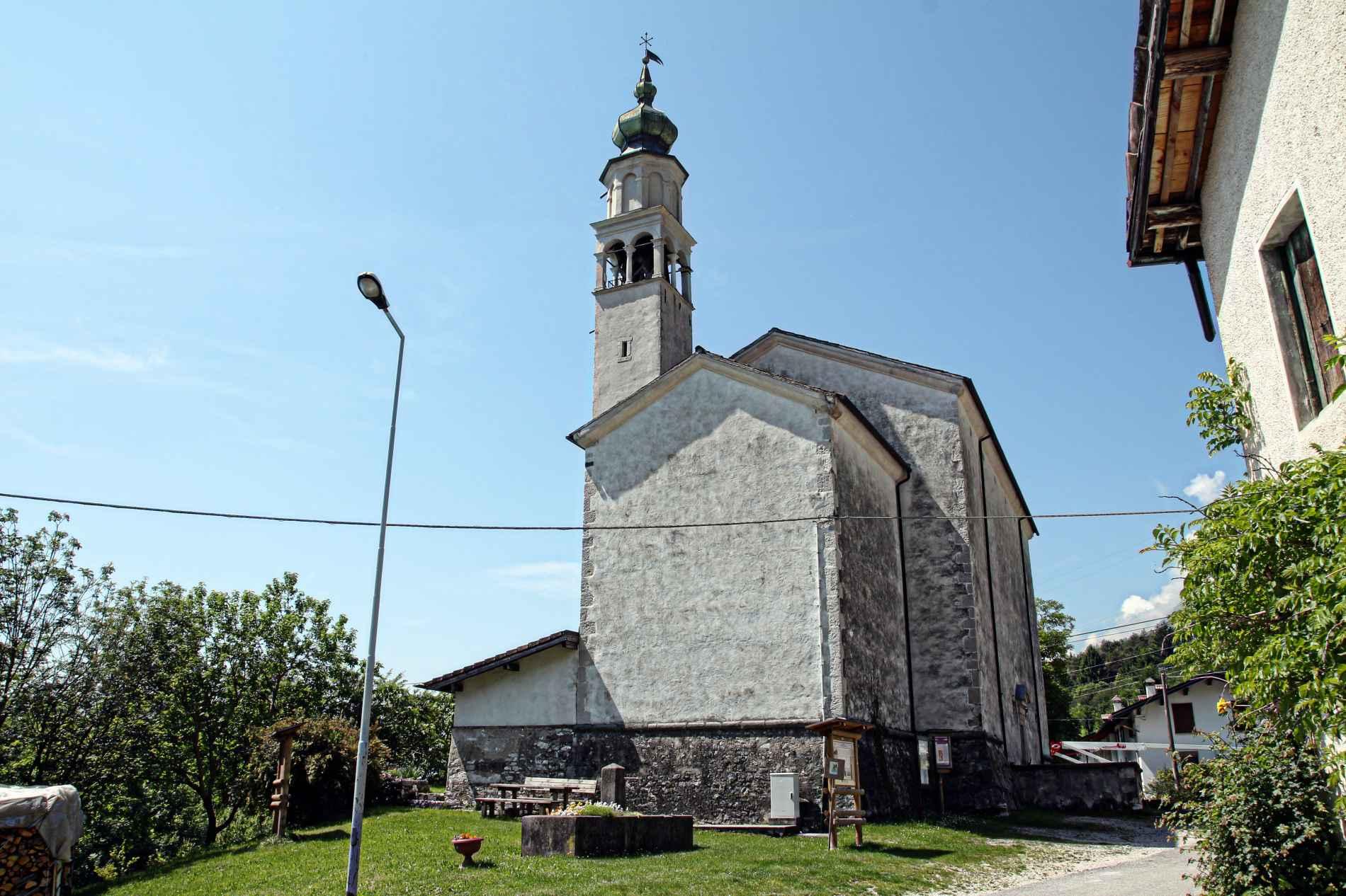
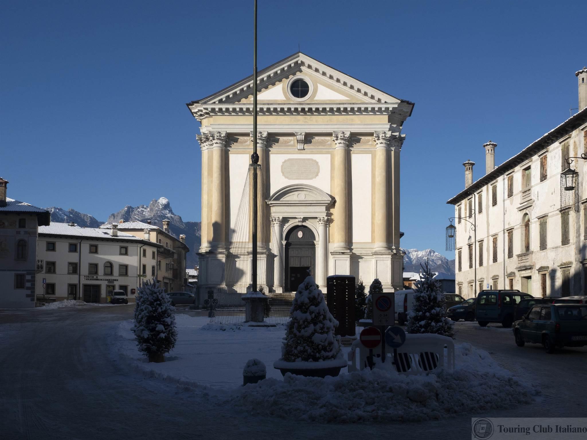
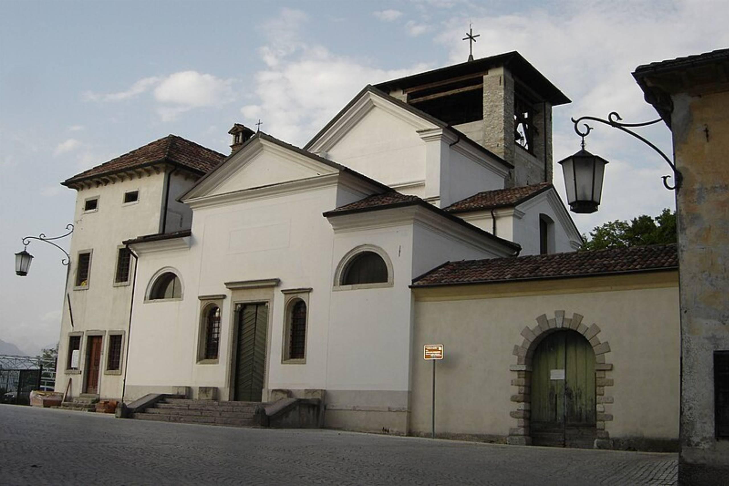
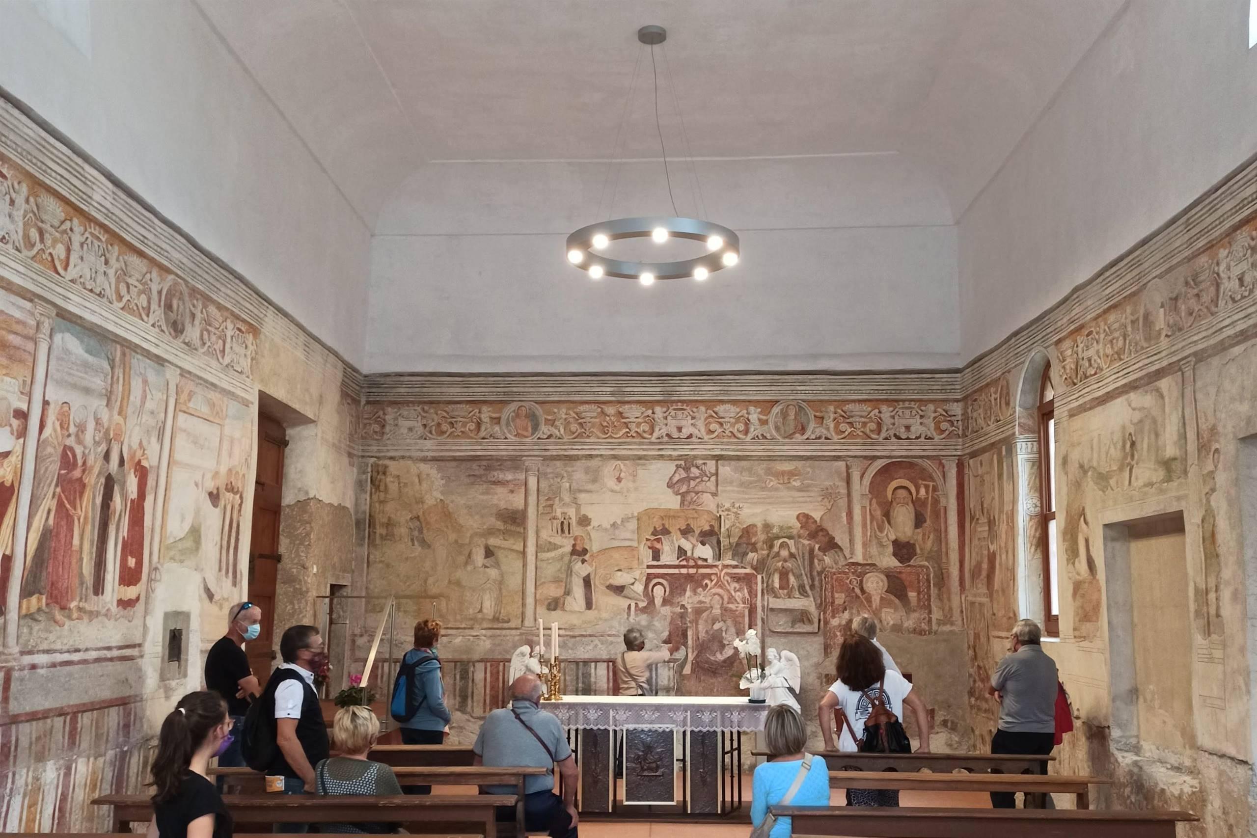
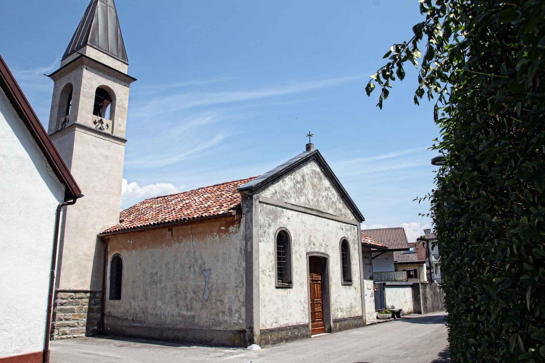
Chiesa di San Gregorio
The parish church of San Gregorio nelle Alpi, a village on the sunny slope of the Valbelluna below the Monti del Sole.
Lago del Mis
4.9 km away, in Sospirolo
A turquoise reservoir in the Val Mis, with the Cadini del Brenton potholes on the stream above.
Cascata della Soffia
6.7 km away, in Sospirolo
A waterfall on the Torrente Mis in the Valle del Mis, inside the Dolomiti Bellunesi national park at Sospirolo.
Lago di Vedana
6.9 km away, in Sospirolo
A small lake at the mouth of the Val Cordevole near Sospirolo, below the walls of the Certosa di Vedana.
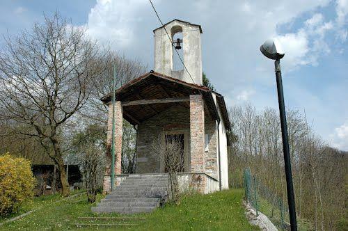
Chiesa di San Gottardo
7.9 km away, in Sospirolo
A church at Sospirolo, in the lower Cordevole valley north-west of Belluno.
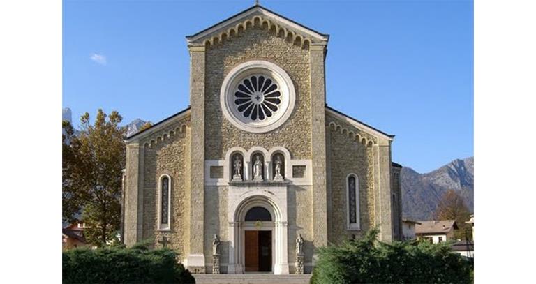
Chiesa Parrocchiale Santa Maria Annunziata
5.4 km away, in Sedico
The parish church of Sedico, dedicated to the Annunciation, in the Valbelluna where the Cordevole meets the Piave.
Chiesa San Pietro in Corona
5.5 km away, in Sedico
The church of San Pietro in Corona, in the comune of Sedico, at the foot of the Dolomiti Bellunesi national park.
Chiesa Arcipretale di Santa Maria Annunziata
8.1 km away, in Borgo Valbelluna
An archpriest's church of the Annunciation in Borgo Valbelluna, the comune that joined Mel, Trichiana and Lentiai in the Valbelluna.
Chiesa dell’Addolorata
8.1 km away, in Borgo Valbelluna
A church of Our Lady of Sorrows in Borgo Valbelluna, in the Valbelluna between the Piave and the Prealpi Bellunesi.
Museo Civico Archeologico di Mel
8.1 km away, in Borgo Valbelluna
The civic archaeological museum of Mel, in Borgo Valbelluna, which holds finds from the Iron Age Paleoveneto necropolis nearby.
Chiesa del Follo
8.1 km away, in Borgo Valbelluna
A church at Follo, one of the scattered hamlets of Borgo Valbelluna, on the terraces above the Piave.
Museo del Latte
8.5 km away, in Borgo Valbelluna
A dairy museum in Borgo Valbelluna, on milking, cheesemaking and mountain pasture work in the Valbelluna.
Chiesa di Sant’Antonio Abate di Bardies
9 km away, in Borgo Valbelluna
A church at Bardies, in the Valbelluna hills of Borgo Valbelluna, dedicated to Anthony the Abbot.
Chiesa della Santa Croce e Santa Barbara
9.1 km away, in Borgo Valbelluna
A church dedicated to the Holy Cross and Saint Barbara in Borgo Valbelluna, in the hills of the Valbelluna.
Nothing of this kind in San Gregorio nelle Alpi.
Routes
11 from neighbouring places
Il sentiero dei castelli perduti
An easy loop above San Gregorio nelle Alpi visiting the sites of vanished castles on the Belluno hillside.
- 4.7 km
- Distance
- 112 m
- Ascent
- 1 h 22 min
- Duration
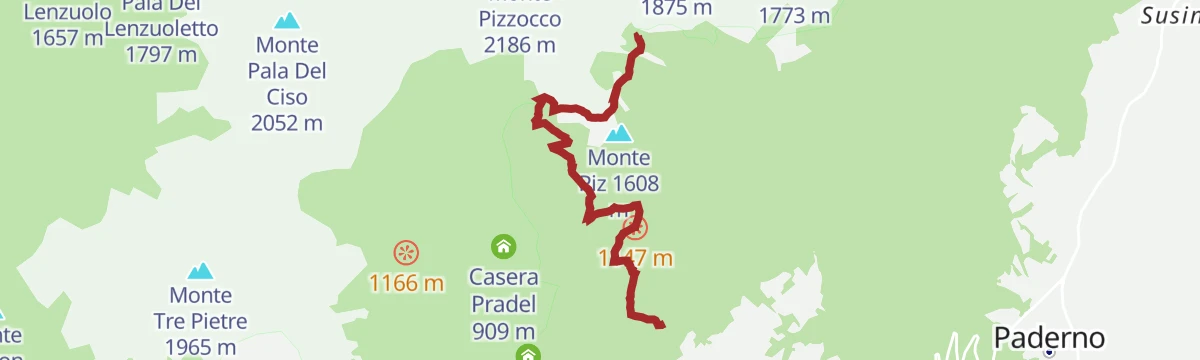
At the foot of Pizzocco, between silence and postcard panoramas
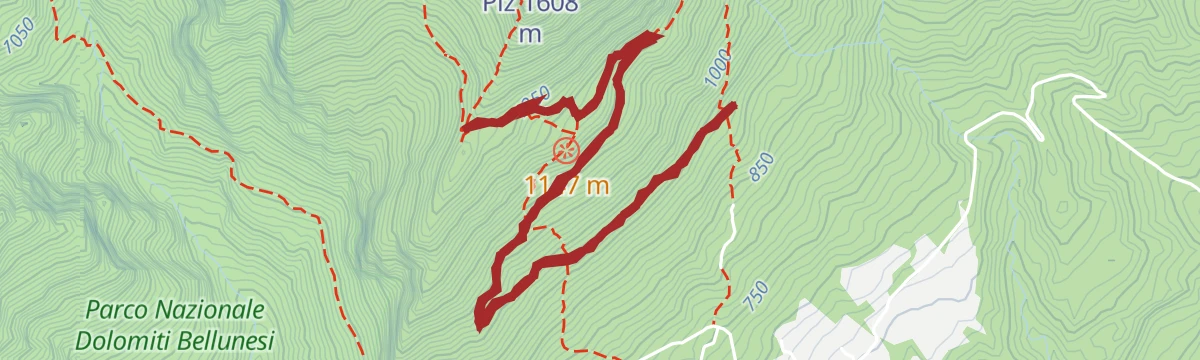
A marked ring by the hamlets of Roer and Staolet, the Palìa bivouac and Casera Ere to the cross on Monte Piz, facing the south wall of Pizzocco.
- 6.8 km
- Distance
- 938 m
- Ascent
- 5 h 27 min
- Duration
- 18
- Check-ins
Open route CAI Dolomiti BellunesiMonte Pizzocco
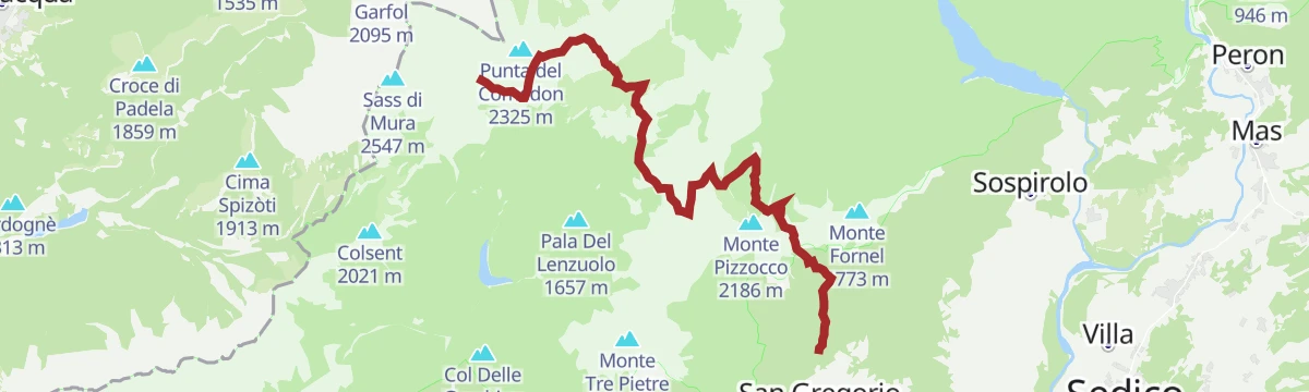
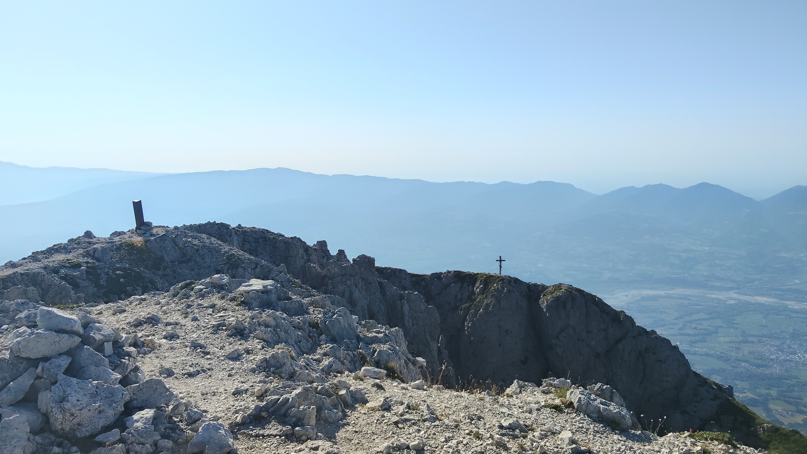
The ascent of Monte Pizzocco above the Valbelluna, up by trail 851 and down by 853, with slippery ground beyond the Forcella Intrigos.
- 10.2 km
- Distance
- 1 683 m
- Ascent
- 9 h 34 min
- Duration
- 31
- Check-ins
Open route CAI Dolomiti BellunesiCAI trail 853 of Casera Ere and Bivacco Palìa
The approach from Roncoi Roer to Casera Ere, also used to reach the summit of Pizzocco; steady and steep, without technical ground.
- 4.4 km
- Distance
- 881 m
- Ascent
- 3 h 37 min
- Duration
- 18
- Check-ins
Open route CAI Dolomiti BellunesiCAI Trail 851 of Cìmia and Slavinàz
A long crossing under the east face of Pizzocco by the Piani di Cìmia and the Erera-Brendol plateau, over five passes in the wildest Feltrine hills.
- 15.0 km
- Distance
- 2 371 m
- Ascent
- 11 h 53 min
- Duration
- 14
- Check-ins
 Forcella Intrigós 1 757 m
 Malga Erera 1 709 m
- Capanna Cimia 1 610 m
- Passo di Forca 1 862 m
- Passo di Cìmia 2 064 m
- Forcella dell'Omo 1 946 m
Open route CAI Dolomiti BellunesiRifugio Casera Ere
A gentle marked track to the Casera Ere hut at the edge of the Belluno Dolomites park, with carved wooden figures and a playground by the building.
- 6.6 km
- Distance
- 428 m
- Ascent
- 2 h 54 min
- Duration
- 12
- Check-ins
Open route CAI Dolomiti BellunesiCAI trail 852 to Passo Forca
A solitary climb, level along Val Scura and then steep up Val Cavaller, to the Passo Forca and the north gate of the Piani Eterni.
- 5.0 km
- Distance
- 1 257 m
- Ascent
- 4 h 51 min
- Duration
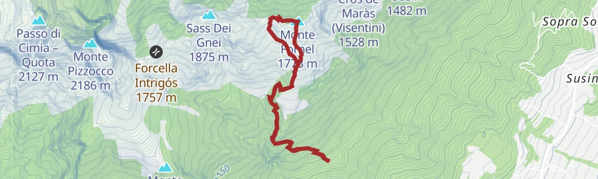
Open route CAI Dolomiti BellunesiAnello Marrone (cod di Fioch - Monte Fornel)
A ring on the Sospirolo hills from Cod di Fioch to the top of Monte Fornel, one of the waymarked high routes there.
- 5.4 km
- Distance
- 892 m
- Ascent
- 5 h 4 min
- Duration
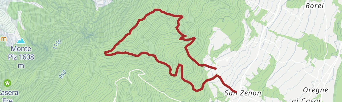
Open route CAI Dolomiti BellunesiGreen Loop (San Zenon - Cadini del Brentaz)
A green-marked loop from San Zenon on mule tracks and forest paths to the Cadini del Brentaz, slippery near the rock pools.
- 6.0 km
- Distance
- 459 m
- Ascent
- 2 h 53 min
- Duration
Open route CAI Dolomiti BellunesiCamolino Loop
5.2 km away, in Sedico
A rolling ride through the villages of the Val Belluna, from Gron up to Paderno and back by Santa Giustina and Bribano, past working farms.
- 26.9 km
- Distance
- 215 m
- Ascent
- 2 h 36 min
- Duration
Open route MONTAGNA BELLUNESEStabie Ring
9 km away, in Borgo Valbelluna
A short loop from Lentiai up into the hills of the Val Belluna and back, past farms working to protect local biodiversity.
- 11.7 km
- Distance
- 322 m
- Ascent
- 1 h 21 min
- Duration
Open route MONTAGNA BELLUNESEBy mountain bike to Rifugio Bruno Boz
11.5 km away, in Mezzano
A dirt-road climb from Mezzano past Malga Neva Prima and Malga Neva Seconda to the refuge under Sass de Mura, with one easy ford of the Neva.
- 10.9 km
- Distance
- 691 m
- Ascent
- 1 h 47 min
- Duration
- 24
- Check-ins
- Rifugio Bruno Boz 1 718 m
- Bivacco Invernale Matteo Fiori 1 727 m
- Malga Neva Seconda 1 746 m
- Malga Neva Prima 1 686 m
Open route CAI Dolomiti BellunesiMuse Fedaie - Tour 2264
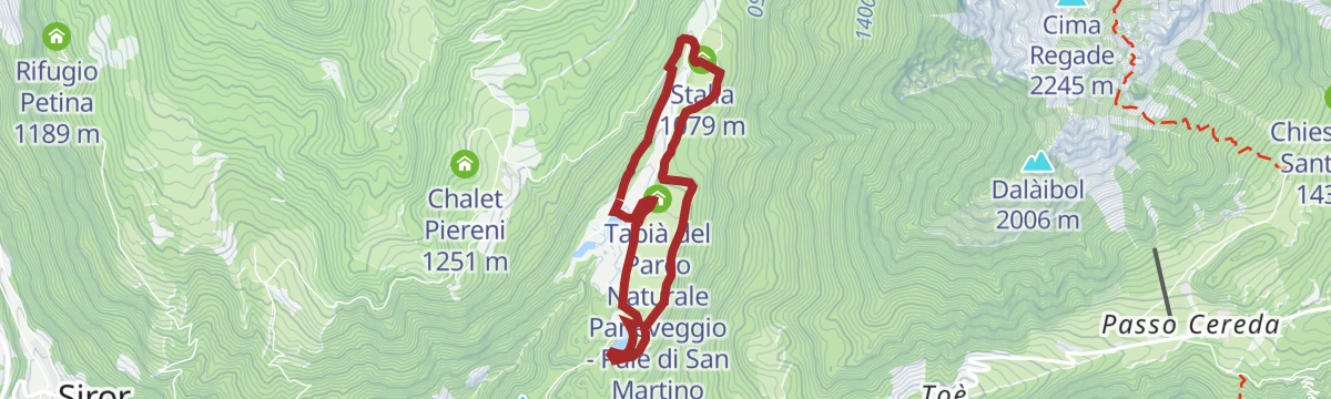
14.9 km away, in Primiero San Martino di Castrozza
A short circuit along the themed Muses of Fedaie path, taking in the restored Welsperg lake and the park headquarters.
- 4.8 km
- Distance
- 121 m
- Ascent
- 32 min
- Duration
- 27
- Check-ins
 Laghetto Welsperg 1 030 m
- Stalla 1 079 m
- Villa Welsperg - Sede del Parco Naturale Paneveggio - Pale di San Martino 1 042 m
- Casera 1 029 m
- Stalla 1 035 m
- Ex Chiesetta 1 041 m
- +2
Open route APT San Martino di Castrozza, Primiero e VanoiSentiero San Bartolomeo “Dei Longobardi”
2.6 km away, in Sospirolo
A short marked walk near Sospirolo to San Bartolomeo, on a route named for the Lombards who once held this ground.
- 4.2 km
- Distance
- 133 m
- Ascent
- 1 h 16 min
- Duration
Anello Arancione (giro delle Creste - con varianti)
3.2 km away, in Sospirolo
The orange-marked ring on the crests above Sospirolo, taking in the Cros de Susin, with steep ground throughout.
- 9.1 km
- Distance
- 1 290 m
- Ascent
- 7 h 33 min
- Duration
- 1
- Check-ins
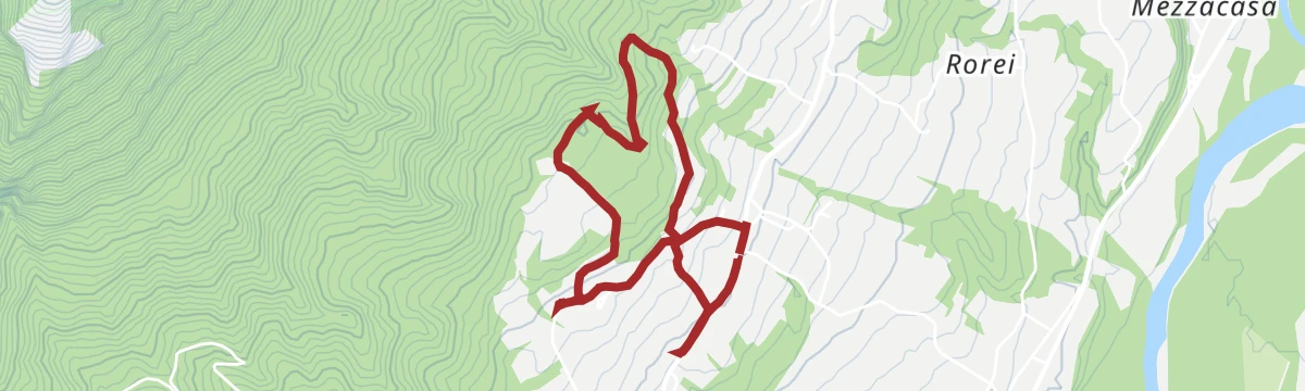
Open route CAI Dolomiti BellunesiSentiero Bianca Simonato – loop from Culogne (or Cullogne)
7.1 km away, in Cesiomaggiore
A memorial loop above Culogne, facing the afternoon sun: the light and the views are best if you set out from late morning onward.
- 6.8 km
- Distance
- 388 m
- Ascent
- 2 h 43 min
- Duration
Open route CAI Dolomiti BellunesiBelluno Dolomites - BIKE TOUR OF VALBELLUNA
8.1 km away, in Borgo Valbelluna
A long ride through the Valbelluna between Mel and Cesio, following the Piave valley below the Belluno Dolomites.
- 67.9 km
- Distance
- 705 m
- Ascent
- 6 h 41 min
- Duration
Open route The Land of VeniceCadini del Brenton e Cascata della Soffia
6.7 km away, in Sospirolo
A very short walk in the Val del Mis to the Soffia waterfall and the string of rock basins scoured out below it.
- 986 m
- Distance
- 73 m
- Ascent
- 29 min
- Duration
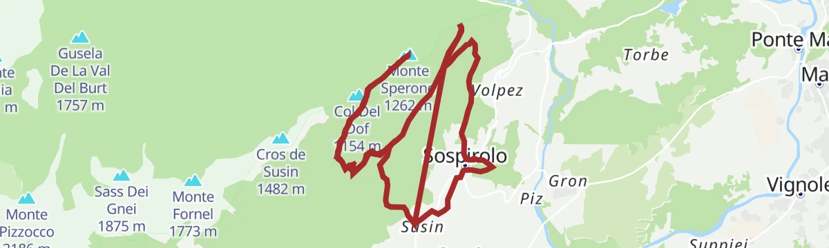
Sentiero Dino Buzzati e salita al monte Sperone
4.4 km away, in Sospirolo
The Buzzati trail above Sospirolo, combined with the ascent of Monte Sperone on the edge of the Belluno Dolomites park.
- 15.0 km
- Distance
- 905 m
- Ascent
- 6 h 45 min
- Duration
- 2
- Check-ins
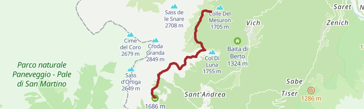
CRODA GRANDA - AGNER WILD TREK - STAGE 2 - Malga Cavallera - Rifugio Scarpa
13.4 km away, in Gosaldo
A mid-height stage from Malga Cavallera by the Bivacco Menegazzi and the Col di Luna pass to the Rifugio Scarpa, facing Monte Agner.
- 6.8 km
- Distance
- 356 m
- Ascent
- 2 h 28 min
- Duration
- 123
- Check-ins
- Rifugio Scarpa - Gurekian all'Agner 1 735 m
- Malga Losch 1 723 m
- Bivacco Menegazzi al Pianlonch 1 737 m
- Rifugio Malga Cavallera 1 685 m
- Passo del Col di Luna 1 718 m
- Casera de Camp 1 751 m
Open route APT San Martino di Castrozza, Primiero e Vanoi
No routes of this kind in San Gregorio nelle Alpi yet.
The region's own picks

Featured route
Il sentiero dei castelli perduti
An easy loop above San Gregorio nelle Alpi visiting the sites of vanished castles on the Belluno hillside.
Planning a trip to San Gregorio nelle Alpi?
Everything else Veneto has, in one place


Take San Gregorio nelle Alpi with you into the mountains
Every route on this page with 3D terrain, GPX navigation and offline maps — including the valleys with no signal.
Data sources
- Official website: dolomitiprealpi.it ↗
- Routes and highlights: Dolomitiprealpi, CAI Dolomiti Bellunesi, MONTAGNA BELLUNESE, APT San Martino di Castrozza, Primiero e Vanoi, The Land of Venice
- Published as open data by the tourist boards named above.
- Region summary generated from the board's own material.
