
 Viewpoint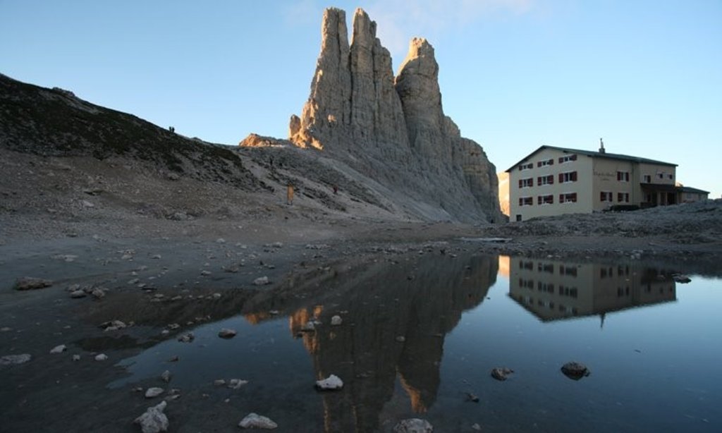
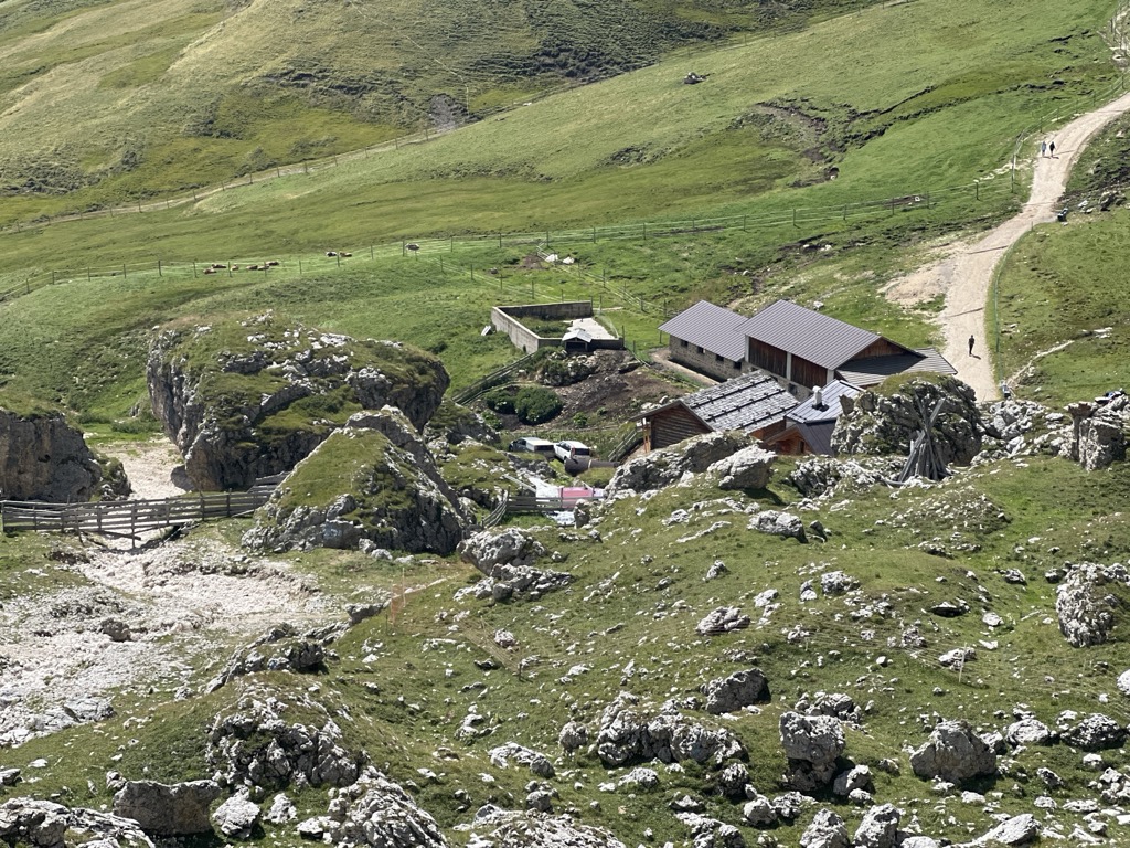
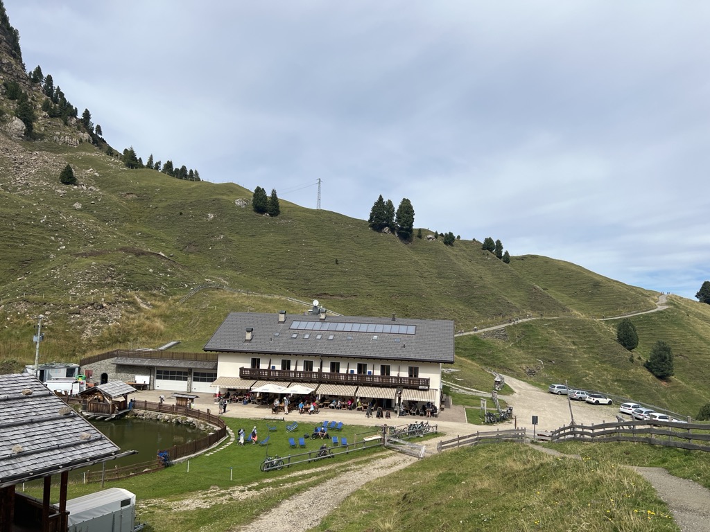
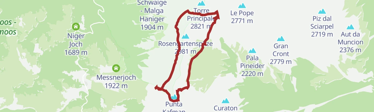
















Curated by APT Val di Fassa
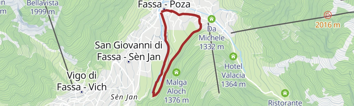
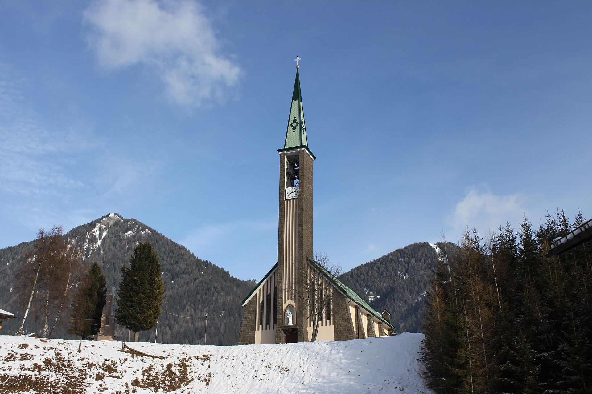
San Giovanni di Fassa-Sèn Jan
Pozza and Vigo di Fassa merged into one Ladin comune, under the Catinaccio d'Antermoia and the Gardeccia paths.
Photo: Pier B. · CC BY-SA 3.0 licence
- 2Highlights
- 72Routes
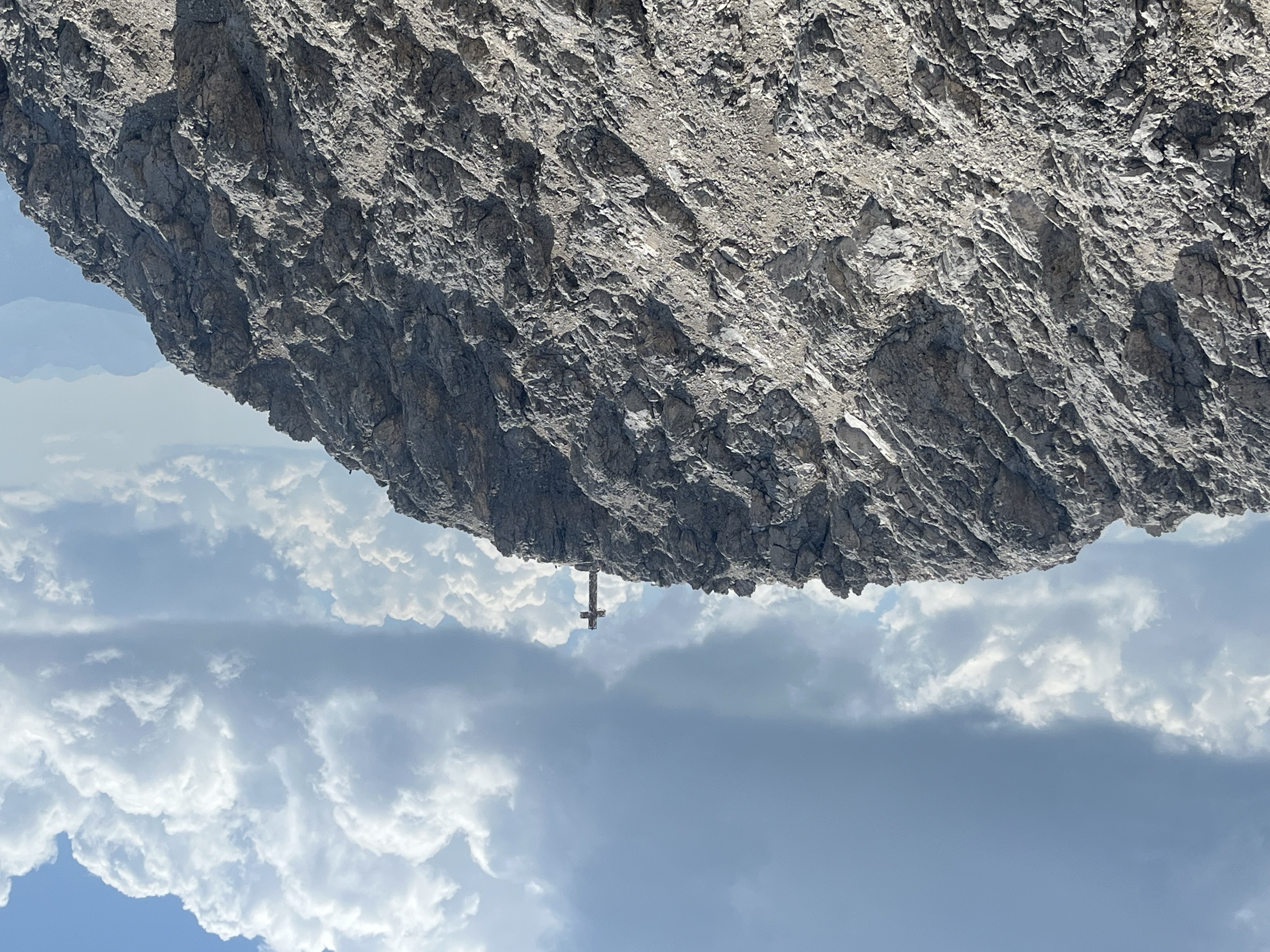
- Featured summit · Kesselkogel
Highlights
13 from neighbouring places
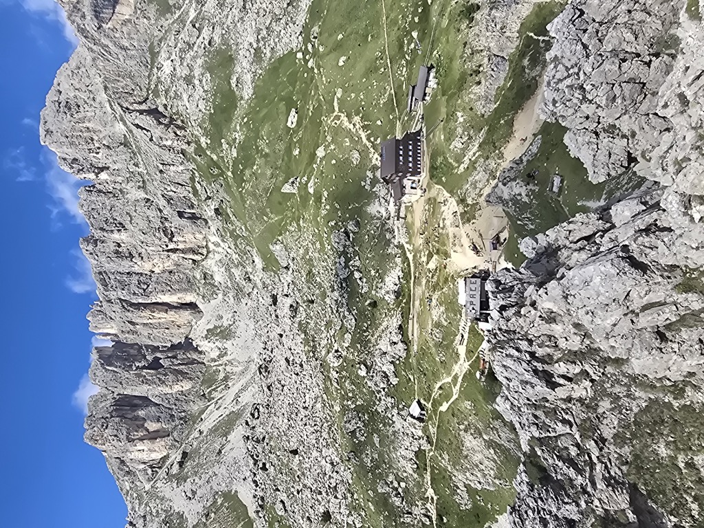
Baita M. Pederiva
A small hut at 2,280 m in the heart of the Catinaccio, run by the Pederiva family for generations and a base for walks and climbs of every grade.
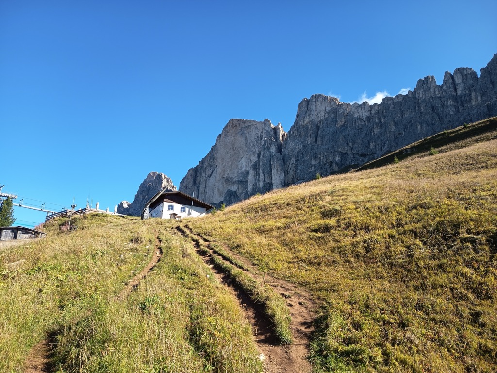
Sterzing, Pfitsch und FreienfeldRifugio Paolina
A hut at 2,125 m in the Carezza area below the Roda di Vael, with a wide terrace and a stage of the Dolomites World Heritage Geotrail passing by.
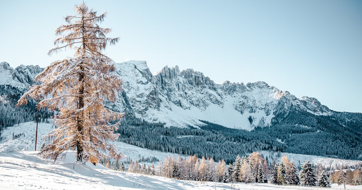
Catinaccio
7.1 km away, in Tires/Tiers
The dolomite massif of the Catinaccio, or Rosengarten, seen from Tires in the Val d'Ega; its walls redden in the evening light.
Rifugio Re Alberto 1°
7.2 km away, in Tires/Tiers
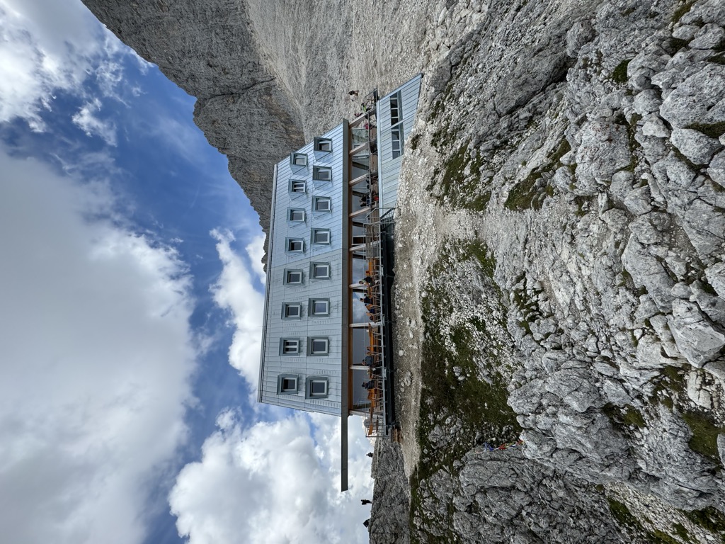
A hut at 2,621 m in the Catinaccio group, known in German as the Gartlhütte and reached by the Passo Santner via ferrata from Pera di Fassa.
rifugio Passo Santner
7.3 km away, in Tires/Tiers
A hut at 2,734 m at the Passo Santner in the Catinaccio, at the top of the via ferrata over the pass above Tires.
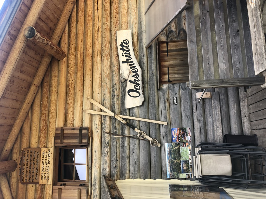
Malga Ochsenhütte
8.3 km away, in Nova Levante/Welschnofen
A pasture hut in the woods above Nova Levante, in the Val d'Ega.
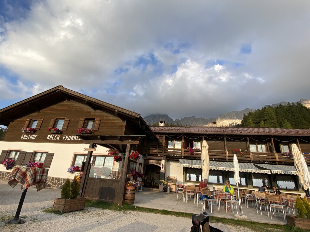
Sterzing, Pfitsch und FreienfeldAlbergo Malga Frommer
9 km away, in Nova Levante/Welschnofen
A dairy hut with rooms on the Frommer pastures above Nova Levante, in the Val d'Ega between the Catinaccio and the Latemar.
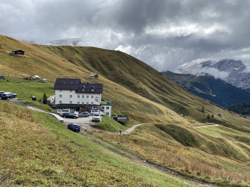
Rifugio Carlo Valentini
9.6 km away, in Canazei
A hut at 2,203 m with restaurant and terrace on Streda Sella above Canazei, on the road climbing from the head of the Val di Fassa to the Passo Sella.
Rifugio Fuciade
10.3 km away, in Soraga di Fassa
A refuge in the Fuciade basin below the Passo San Pellegrino, in the comune of Soraga di Fassa, under the Cima Uomo.
Baita Gardoné – The Mountain Riviera
13.6 km away, in Predazzo
A baita on the Gardonè shelf above Predazzo, at the foot of the Latemar and reached by the cable car from the valley.
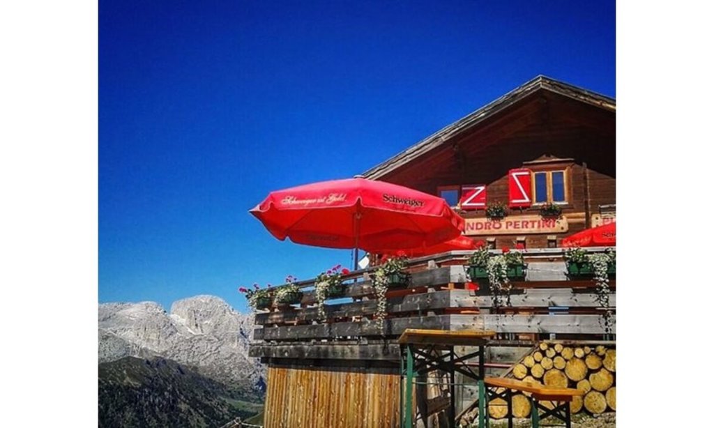
Rifugio Sandro Pertini
8.4 km away, in Campitello di Fassa
A hut at 2,300 m on the open meadows below the Sassolungo, 40 minutes from the Col Rodella top station and on the Alta Via delle Dolomiti n. 9.
Rifugio Sasso Piatto
8.5 km away, in Campitello di Fassa
A hut at 2,300 m under the Sasso Piatto on the Campitello di Fassa side of the Sassolungo, its kitchen built on South Tyrolean dishes and home-smoked speck.
DolomitiCaseificio malga Sassopiatto
8.6 km away, in Campitello di Fassa
A dairy hut at 2,250 m below the Sasso Piatto above Campitello di Fassa, rebuilt in 2016 and serving cheese from its own creamery.
Rifugio Molignon
9.9 km away, in Castelrotto/Kastelruth
A hut at 2,059 m on the Alpe di Siusi above Castelrotto, cooking Tyrolean Geröstl with smoked speck and apple strudel straight from the oven.
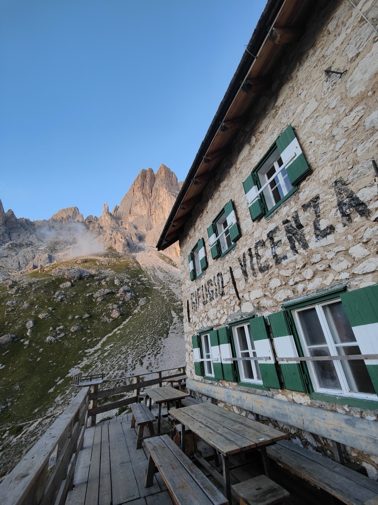
Sterzing, Pfitsch und FreienfeldRifugio Vicenza
10.3 km away, in Santa Cristina Valgardena/St. Christina in Gröden
A hut at 2,253 m in the heart of the Sassolungo group, below the Oskar Schuster via ferrata, with home-made dishes served through the day.
Sterzing, Pfitsch und Freienfeld
Nothing of this kind in San Giovanni di Fassa-Sèn Jan.
Routes
50 routes, an even mix of activities · see the rest on visittrentino.info ↗
Via Ferrata Passo Santner
A short but serious ferrata among the towers of the Catinaccio to the Santner pass, with a few hard moves that call for alpine experience.
- 7.7 km
- Distance
- 1 007 m
- Ascent
- 7 h 25 min
- Duration
- 886
- Check-ins
 Rifugio Vajolet 2 243 m
- Rifugio Paul Preuss 2 243 m
 Laurinspass - Passo di Laurino 2 616 m
- Rifugio Re Alberto Primo - Gartlhütte 2 621 m
- Santnerpasshütte - Rifugio Passo Santner 2 734 m
- Kölner Hütte - Rifugio Fronza alle Coronelle 2 337 m
- +3
Open route Sterzing, Pfitsch und FreienfeldVia Ferrata Roda di Vael
A cabled route through steep rock to the top of the Roda di Vael at 2,806 m, on the west side of the Catinaccio.
- 6.4 km
- Distance
- 939 m
- Ascent
- 6 h 46 min
- Duration
- 503
- Check-ins
 Rotwand 2 806 m
- Torre Finestra 2 637 m
- Torre Edoarda 2 640 m
- Sella del Ciampaz 2 280 m
- Rifugio Roda di Vael 2 283 m
- Baita Marino Pederiva 2 280 m
- +2
Open route Sterzing, Pfitsch und FreienfeldVia Ferrata Masarè
A ridge route along the sharp Cresta Masarè in the southern Catinaccio, over towers, chimneys and exposed steps, with the Latemar opposite.
- 6.3 km
- Distance
- 622 m
- Ascent
- 4 h 51 min
- Duration
- 426
- Check-ins
- Sella del Ciampaz 2 280 m
- Rifugio Roda di Vael 2 283 m
- Baita Marino Pederiva 2 280 m
- Rifugio Paolina 2 125 m
Open route Sterzing, Pfitsch und FreienfeldVia ferrata sul Catinaccio d’Antermoia
A cabled climb from the Passo Molignon up the west side of the Catinaccio d'Antermoia, with the Vajolet towers and the Marmolada close by.
- 2.8 km
- Distance
- 608 m
- Ascent
- 4 h 10 min
- Duration
- 257
- Check-ins
- Kesselkogel 3 004 m
- Passo Principe - Grasleitenpass 2 601 m
- Rifugio Passo Principe - Grasleitenpasshütte 2 601 m
- Passo di Antermoia 2 770 m
Open route Sterzing, Pfitsch und FreienfeldForest Trail
A level woodland path between the Larsec ridge and the Catinaccio, easy underfoot and shaded throughout.
- 3.0 km
- Distance
- 22 m
- Ascent
- 48 min
- Duration
- 1027
- Check-ins
- Rifugio Gardeccia 1 949 m
- Rifugio Stella Alpina 1 959 m
- Rifugio Ciampedie 1 998 m
- Baita Enrosadira 1 949 m
- Ex Rifugio Catinaccio 1 957 m
- Baita La Zondra 1 985 m
- +3
Open route APT Val di FassaCiampedie - Gardeccia - Refuges Vajolet and Preuss - Refuge Re Alberto I - Gardeccia - Ciampedie
A round from Gardeccia up the Vajolet valley past the Porte Neigre rocks to the Vajolet and Preuss huts and the Re Alberto hut below the towers.
- 11.7 km
- Distance
- 745 m
- Ascent
- 5 h 5 min
- Duration
- 1596
- Check-ins
- Rifugio Vajolet 2 243 m
- Rifugio Paul Preuss 2 243 m
- Rifugio Gardeccia 1 949 m
- Rifugio Stella Alpina 1 959 m
- Rifugio Ciampedie 1 998 m
- Baita Enrosadira 1 949 m
- +7
Open route APT Val di FassaCiampedie - Gardeccia - Principe Pass - Antermoia Refuge - Val Duron - Campitello
A crossing from Gardeccia up the upper Vajolet valley to the Passo Principe hut, over to the Antermoia hut and down the Val Duron to Campitello.
- 18.5 km
- Distance
- 950 m
- Ascent
- 7 h 56 min
- Duration
- 2126
- Check-ins
- Rifugio Vajolet 2 243 m
- Rifugio Paul Preuss 2 243 m
- Rifugio Gardeccia 1 949 m
- Rifugio Stella Alpina 1 959 m
- Rifugio Antermoia 2 497 m
- Rifugio Ciampedie 1 998 m
- +16
Open route APT Val di FassaSki mountaineering at Cima Undici - Val dei Monzoni
A ski tour into the secluded head of the Val dei Monzoni, on a sledging track to Malga Monzoni, then over wide, moderate slopes to Cima Undici.
- 15.6 km
- Distance
- 1 088 m
- Ascent
- 1 086 m
- Descent
- 5 h 14 min
- Duration
- 222
- Check-ins
- Malga Crocifisso 1 526 m
- Ristorante La Soldanella 1 409 m
- Cappella del Crocifisso 1 526 m
- Rifugio Vallaccia 2 275 m
- Malga Monzoni 1 820 m
- ex Rifugio Monzoni 1 804 m
Open route VisitTrentinoStage 4 Dolomiti Trek King Short Experience - Between pastures and huts of Val San Nicolò
A stage from the Baita Cuz hut down into the Val San Nicolò, up to the Lagusel pond and the L Pief saddle, then down to the Val Monzoni.
- 14.1 km
- Distance
- 609 m
- Ascent
- 2 h 23 min
- Duration
- 382
- Check-ins
- Malga Crocifisso 1 526 m
- Ristorante La Soldanella 1 409 m
- Cappella del Crocifisso 1 526 m
- Ristorante Pizzeria Vidor 1 425 m
- Baita Cuz 2 213 m
- Azienda Turistica 1 307 m
- +5
Open route APT Val di Fassa423 Sciliar-Catinaccio Ronda in senso orario
A big circumnavigation of the Sciliar and Catinaccio massifs, crossing the Passo Duron and touching the Val di Fassa and the Val d'Ega.
- 79.4 km
- Distance
- 2 524 m
- Ascent
- 9 h 26 min
- Duration
- 768
- Check-ins
- Rifugio Micheluzzi 1 860 m
- Baita Lino Brach 1 867 m
- Baita Fraines 1 609 m
- Jëuf da Duron - Mahlknechtjoch - Passo Duron 2 204 m
- Edelweiss Hütte 2 042 m
- Mahlknecht Hütte - Rifugio Molignon 2 059 m
- +37
Open route Seis am SchlernClimbs of Giro d’Italia – Gardeccia
A steep road climb from Pera by the hamlet of Muncion to the Gardeccia hut, with ramps that touch fifteen percent.
- 7.1 km
- Distance
- 635 m
- Ascent
- 1 h 5 min
- Duration
- 453
- Check-ins
Open route APT Val di FassaSellaronda
The four-pass Dolomite circuit ridden from Predazzo, over Passo Pordoi, the Sella Pass and the Gardena Pass around the Sella massif.
- 116.2 km
- Distance
- 2 555 m
- Ascent
- 12 h 43 min
- Duration
- 2454
- Check-ins
- Val Dantermont 1 728 m
- Jouf de Pordoi - Passo Pordoi - Pordoijoch 2 239 m
- Gardena Pass 2 121 m
- Bar Funivia 2 240 m
- L'Angolino del Sella 2 179 m
- In Sella 2 182 m
- +44
Open route APT Fiemme CembraThe Blue Crow
A nine-stage children's trail on the Ciampedie plateau above Vigo, collecting letters hidden in the woods to rebuild a lost word.
- 1.4 km
- Distance
- 48 m
- Ascent
- 26 min
- Duration
- 295
- Check-ins
Open route APT Val di FassaStage 6 Dolomiti Trek King - Toward Roda de Vael
A stage from Gardeccia by Ciampedie along the Alta Via dei Fassani, or the exposed sheep path under the Cigolade, towards the Roda di Vael hut.
- 10.2 km
- Distance
- 416 m
- Ascent
- 3 h 39 min
- Duration
- 1147
- Check-ins
- Rifugio Gardeccia 1 949 m
- Rifugio Stella Alpina 1 959 m
- Sella del Ciampaz 2 280 m
- Baita Enrosadira 1 949 m
- Rifugio Roda di Vael 2 283 m
- Ex Rifugio Catinaccio 1 957 m
- +4
Open route APT Val di FassaStage 1 Dolomiti Trek King in autumn - Catinaccio
An autumn stage from Pian Pecei across the Catinaccio to the Antermoia hut, taking in the climb to the Vajolet towers through gold and copper woods.
- 15.2 km
- Distance
- 1 984 m
- Ascent
- 9 h 26 min
- Duration
- 1709
- Check-ins
- Rifugio Vajolet 2 243 m
- Rifugio Paul Preuss 2 243 m
- Rifugio Gardeccia 1 949 m
- Rifugio Stella Alpina 1 959 m
- Rifugio Antermoia 2 497 m
- Baita Enrosadira 1 949 m
- +10
Open route APT Val di Fassa"Panorama" Ski Tour
A long ski traverse from the Porta Vescovo side of Arabba by Passo Pordoi to the Ciampac and Buffaure areas, finishing down the Vulcano run to Pozza.
- 17.7 km
- Distance
- 1 890 m
- Ascent
- 2 157 m
- Descent
- 7 h 14 min
- Duration
- 161
- Check-ins
- Sela dal Brunéch 2 420 m
- Baita Valeruz 2 149 m
- La Bolp 2 046 m
 Liech de Chel Vesco 2 089 m
- Bar Ristorante Crepa Neigra 2 149 m
Open route Arabba Fodom TurismoClimbs of Giro d’Italia - Costalunga/Carezza Pass
The road climb from Vigo di Fassa to the Passo di Costalunga, its height gained almost entirely in the first six kilometres.
- 9.3 km
- Distance
- 502 m
- Ascent
- 1 h 9 min
- Duration
- 176
- Check-ins
- Passo di Costalunga - Karerpass 1 745 m
- Antermont 1 759 m
- GolfHotel 1 754 m
- Casa Montagna 1 740 m
- Hotel Fontana 1 523 m
Open route APT Val di FassaVigo di Fassa - Costalunga/Carezza Pass - Tires - Castelrotto - Ortisei - Sella Pass - Canazei - Vigo di Fassa
A very long road circuit from Vigo over the Costalunga, through Castelrotto and Ortisei and back across the Sella pass.
- 108.5 km
- Distance
- 2 753 m
- Ascent
- 12 h 13 min
- Duration
- 2045
- Check-ins
- Val Dantermont 1 728 m
- L'Angolino del Sella 2 179 m
- In Sella 2 182 m
- Sella Pass 2 240 m
- Passo di Costalunga - Karerpass 1 745 m
- Laghetto Lupo Bianco 1 726 m
- +75
Open route APT Val di FassaLegends Trail
An easy family trail below the Catinaccio, with six stops telling Ladin tales of King Laurin, the roses, the Antermoia lake and the alpenglow.
- 4.4 km
- Distance
- 137 m
- Ascent
- 1 h 21 min
- Duration
- 254
- Check-ins
Open route APT Val di FassaCiampedie - Malga Vael - Roda di Vael and Baita Pederiva huts - Paolina Hut (Carezza)
A traverse from Ciampedie past the Negritella hut and the Rondolae rocks to Malga Vael and on towards the Paolina hut above Carezza.
- 6.1 km
- Distance
- 386 m
- Ascent
- 2 h 22 min
- Duration
- 940
- Check-ins
- Rifugio Ciampedie 1 998 m
- Sella del Ciampaz 2 280 m
- Rifugio Roda di Vael 2 283 m
- Baita La Zondra 1 985 m
- Rifugio Negritella 1 986 m
- Baita Marino Pederiva 2 280 m
- +4
Open route APT Val di FassaPozza - Mazzin - Muncion - Gardeccia - Pozza
A long round from Pozza along the Avisio to Mazzin, then up by Muncion to Gardeccia below the Catinaccio.
- 19.6 km
- Distance
- 780 m
- Ascent
- 6 h 31 min
- Duration
- 636
- Check-ins
- Rifugio Gardeccia 1 949 m
- Rifugio Stella Alpina 1 959 m
- Baita Enrosadira 1 949 m
- Ex Rifugio Catinaccio 1 957 m
- Azienda Turistica 1 307 m
- Malga Couler 1 907 m
- +1
Open route APT Val di FassaPozza di Fassa - Tesero - Pampeago Pass - Ponte Nova - Costalunga/Carezza Pass - Pozza di Fassa
A road loop south to Tesero, then the hard climb to Pampeago and back over the Passo di Costalunga by the Karer See.
- 72.7 km
- Distance
- 2 083 m
- Ascent
- 8 h 25 min
- Duration
- 857
- Check-ins
- Karer See - Lago di Carezza 1 533 m
- Passo di Costalunga - Karerpass 1 745 m
- Bar & Imbiss Kareesee 1 559 m
- Antermont 1 759 m
- Baita della Scofa 2 006 m
- Zischgalm 2 010 m
- +31
Open route APT Val di FassaSeated Trail
A short walk at Sela Brunéch at 2,428 m, where a dozen seats made by Marco Nones from salvaged hut timber stand out on the pasture.
- 2.1 km
- Distance
- 65 m
- Ascent
- 44 min
- Duration
- 189
- Check-ins
- Col de Valvacin 2 372 m
- Sas d'Adam 2 433 m
- L Veie 2 400 m
- Sela dal Brunéch 2 420 m
- Rifugio El Zedron 2 361 m
Open route APT Val di FassaAlba (Ciampac) - Forcia Neigra - Passo San Nicolò Refuge - Contrin Refuge - Alba
A round from the Ciampac lift over the Forcia Neigra, cabled in places, past the San Nicolò pass hut and down by the Contrin hut.
- 13.8 km
- Distance
- 528 m
- Ascent
- 5 h 26 min
- Duration
- 489
- Check-ins
- Rifugio Contrin 2 016 m
- Chalet Queen 1 500 m
- Rifugio Passo di San Nicolo 2 340 m
- Baita Locia Contrin 1 736 m
- Baita Cianci 1 834 m
- Annesso Efrem Reatto 2 018 m
- +7
Open route APT Val di FassaStage 1 Dolomiti Trek King - At the foot of the Queen of the Dolomites
A stage from the Buffaure lift over the Col de Valvacin and Sas de Adam, then along the ridge to Sela Brunéch under the Marmolada.
- 12.1 km
- Distance
- 1 475 m
- Ascent
- 7 h 30 min
- Duration
- 473
- Check-ins
- Col de Valvacin 2 372 m
- Sas d'Adam 2 433 m
- Sas Porcel 2 481 m
- Sas Bianch de Roseal 2 483 m
- Rifugio Contrin 2 016 m
- Sela dal Brunéch 2 420 m
- +6
Open route APT Val di FassaMarmolada Tour
A long road circuit from Predazzo over Passo San Pellegrino and up Passo Fedaia, whose final ramps run into double-digit gradients.
- 105.6 km
- Distance
- 2 679 m
- Ascent
- 11 h 54 min
- Duration
- 780
- Check-ins
- Rifugio Marmolada Castiglioni 2 055 m
- Passo Fedaia 2 057 m
- Rifugio Fedaia 2 057 m
- Passo San Pellegrino 1 918 m
- Chalet Isabella 1 914 m
- Azienda Turistica 1 307 m
- +27
Open route APT Fiemme CembraThe Journey of Tica Pop
A children's trail from the top of the Col de Valvacin, following a young capercaillie who wants to fly, with games at each stop.
- 2.8 km
- Distance
- 80 m
- Ascent
- 1 h 11 min
- Duration
- 137
- Check-ins
Open route APT Val di FassaPozza (Buffaure) - Col de Valvacin - Buffaure Ridges - Sentiero I Trec - Val San Nicolò - Pozza
A ridge walk from the Buffaure lift over the Col de Valvacin and Sas de Adam, dropping by the I Trec path into the Val San Nicolò.
- 12.4 km
- Distance
- 205 m
- Ascent
- 4 h 20 min
- Duration
- 475
- Check-ins
- Col de Valvacin 2 372 m
- Sas d'Adam 2 433 m
- Sas Porcel 2 481 m
- Malga Crocifisso 1 526 m
- Ristorante La Soldanella 1 409 m
- Baita Ciampiè 1 809 m
- +6
Open route APT Val di FassaPozza - Val Monzoni - Passo delle Selle - San Pellegrino
A climb from Pozza up the Val San Nicolò and Val Monzoni past the dairy and larch woods to the Passo delle Selle and down to San Pellegrino.
- 14.5 km
- Distance
- 1 280 m
- Ascent
- 6 h 58 min
- Duration
- 469
- Check-ins
- Malga Crocifisso 1 526 m
- Rifugio Passo delle Selle 2 530 m
- Ristorante La Soldanella 1 409 m
- Cappella del Crocifisso 1 526 m
- Ristorante Pizzeria Vidor 1 425 m
- Passo delle Selle 2 530 m
- +8
Open route APT Val di FassaPozza di Fassa - Moena - San Pellegrino Pass - Cencenighe - Caprile - Fedaia Pass - Canazei - Pozza di Fassa
A long road circuit from Pozza di Fassa over the San Pellegrino pass, returning across the Fedaia below the Marmolada.
- 88.1 km
- Distance
- 2 276 m
- Ascent
- 9 h 58 min
- Duration
- 761
- Check-ins
- Rifugio Marmolada Castiglioni 2 055 m
- Passo Fedaia 2 057 m
- Rifugio Fedaia 2 057 m
- Passo San Pellegrino 1 918 m
- Chalet Isabella 1 914 m
- Azienda Turistica 1 307 m
- +24
Open route APT Val di FassaWater and rural life stories
A walk starting at the Aloch sulphur spring, the only one in Trentino, where a bath house owned by the prince-bishops stood until a flood in 1641.
- 4.9 km
- Distance
- 129 m
- Ascent
- 1 h 28 min
- Duration
- 125
- Check-ins
Open route APT Val di FassaStage 3 Dolomiti Family Trek King - The breath of the volcanoes
The closing stage of the family trek, downhill throughout from the hut into Val Monzoni, whose dark volcanic rock sits among pale Dolomite peaks.
- 8.4 km
- Distance
- 0 m
- Ascent
- 3 h 13 min
- Duration
- 372
- Check-ins
- Malga Crocifisso 1 526 m
- Rifugio Passo delle Selle 2 530 m
- Ristorante La Soldanella 1 409 m
- Cappella del Crocifisso 1 526 m
- Ristorante Pizzeria Vidor 1 425 m
- Passo delle Selle 2 530 m
- +5
Open route APT Val di FassaStage 3 Dolomiti Trek King Short Experience - In the realm of the Salvan
A stage from the Contrin hut over the San Nicolò pass, past First World War works, around the Sas de Ròces on cable to Sela Brunéch and Malga Jumela.
- 13.4 km
- Distance
- 966 m
- Ascent
- 6 h 8 min
- Duration
- 407
- Check-ins
- Sas Porcel 2 481 m
- Sas Bianch de Roseal 2 483 m
- Rifugio Contrin 2 016 m
- Sela dal Brunéch 2 420 m
- Rifugio Passo di San Nicolo 2 340 m
- Baita Cuz 2 213 m
- +6
Open route APT Val di FassaRoad Bike Alleghe 2 - Marmolada Loop
A road circuit from Alleghe right around the Marmolada, crossing Passo Fedaia and Passo San Pellegrino to join Agordino to the Val di Fassa.
- 88.5 km
- Distance
- 2 124 m
- Ascent
- 9 h 52 min
- Duration
- 761
- Check-ins
- Rifugio Marmolada Castiglioni 2 055 m
- Passo Fedaia 2 057 m
- Rifugio Fedaia 2 057 m
- Passo San Pellegrino 1 918 m
- Chalet Isabella 1 914 m
- Azienda Turistica 1 307 m
- +24
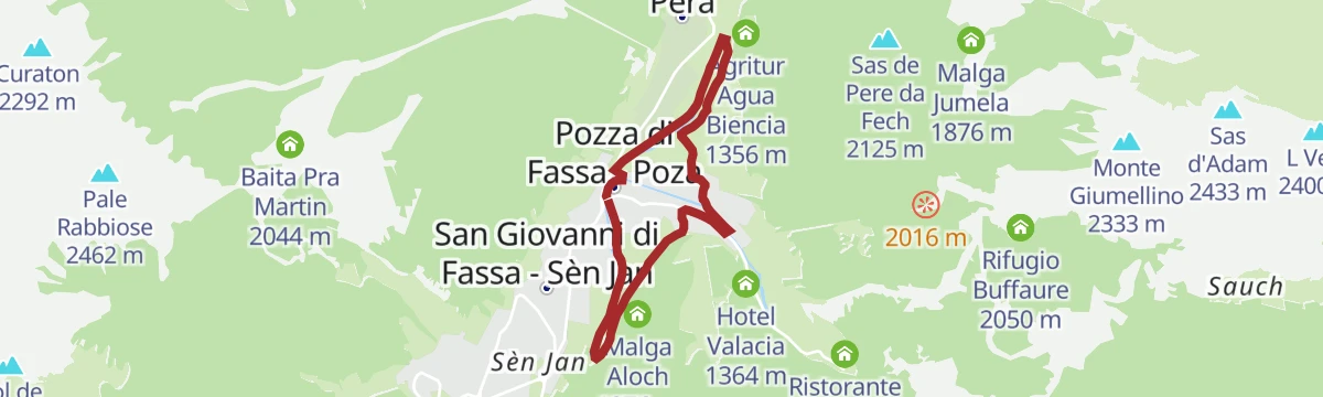
Open route Consorzio Operatori Turistici Alleghe - CaprilePozza - Pera
A flat walk from Pozza along the Avisio and the cycle route to the Piciocaa adventure park, returning across the plain to Pera.
- 5.9 km
- Distance
- 50 m
- Ascent
- 1 h 31 min
- Duration
- 86
- Check-ins
Open route APT Val di FassaStage 2 Dolomiti Trek King - In the realm of Conturina
A stage from the Contrin hut down the Val Contrin, then along the Avisio on trail 605 by Pian Trevisan to the Passo Fedaia.
- 11.5 km
- Distance
- 601 m
- Ascent
- 4 h 18 min
- Duration
- 343
- Check-ins
- Rifugio Marmolada Castiglioni 2 055 m
- Rifugio Contrin 2 016 m
- Passo Fedaia 2 057 m
- Baita Locia Contrin 1 736 m
- Baita Cianci 1 834 m
- Annesso Efrem Reatto 2 018 m
- +4
Open route APT Val di FassaAlba - Val Contrin - Passo Ombretta - Rifugio Falier - Pas de Ombretola - Val de Contrin - Alba
A long round from Alba up the Val Contrin, over the Ombretta pass to the Falier hut under the Marmolada south face, back by the Ombretola.
- 23.2 km
- Distance
- 2 198 m
- Ascent
- 13 h 39 min
- Duration
- 374
- Check-ins
- Rifugio Contrin 2 016 m
- Rifugio Onorio Falier 2 074 m
- Chalet Queen 1 500 m
- Baita Locia Contrin 1 736 m
- Baita Cianci 1 834 m
- Annesso Efrem Reatto 2 018 m
- +3
Open route APT Val di FassaLatemar Tour
A long road circuit of the Latemar, over the Passo di Costalunga past the Lago di Carezza and back across the Passo di Lavazè.
- 74.4 km
- Distance
- 2 039 m
- Ascent
- 8 h 31 min
- Duration
- 603
- Check-ins
- Karer See - Lago di Carezza 1 533 m
- Passo di Costalunga - Karerpass 1 745 m
- Bar & Imbiss Kareesee 1 559 m
- Antermont 1 759 m
- Passo di Lavazè 1 807 m
- GolfHotel 1 754 m
- +24
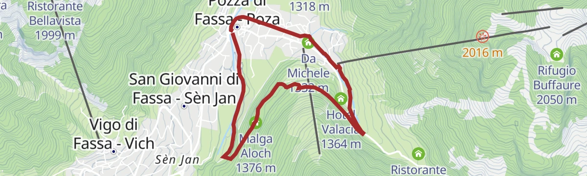
Open route APT Fiemme CembraPozza - Pera Loc. Piciocaa - Ciancoal - Pozza
A short flat loop from Pozza along the Avisio to the votive chapel and playground at Piciocaa, returning by the lower path.
- 3.7 km
- Distance
- 20 m
- Ascent
- 55 min
- Duration
- 74
- Check-ins
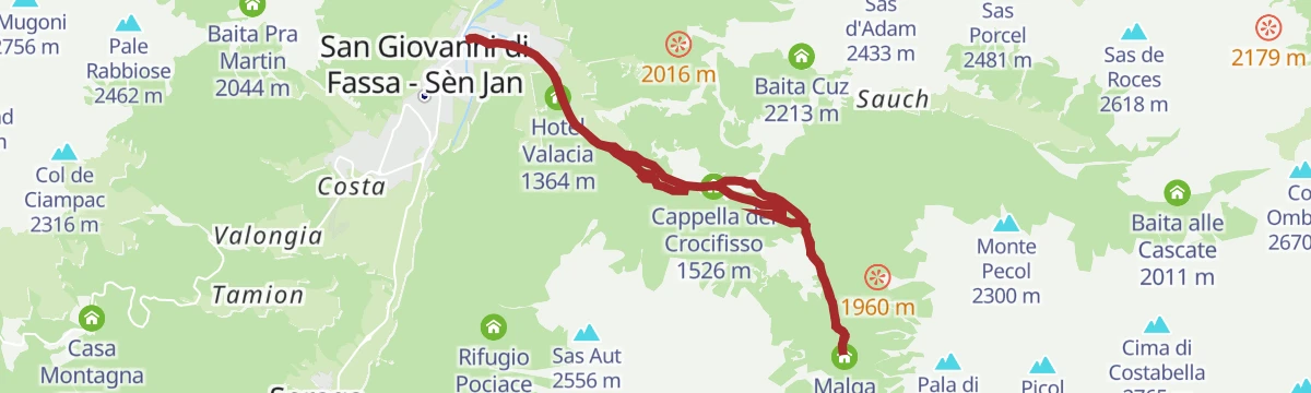
Open route APT Val di FassaPozza - Val Monzoni
A route from Pozza by the Pont de Garneté up the left bank of the stream, gentle then steeper in hairpins, into the Val Monzoni.
- 12.4 km
- Distance
- 568 m
- Ascent
- 4 h 18 min
- Duration
- 333
- Check-ins
- Malga Crocifisso 1 526 m
- Ristorante La Soldanella 1 409 m
- Cappella del Crocifisso 1 526 m
- Ristorante Pizzeria Vidor 1 425 m
- Azienda Turistica 1 307 m
- Hotel Valacia 1 364 m
- +3
Open route APT Val di FassaSentiero della Pace 33: Rifugio Passo alle Selle to Rifugio Contrin
A long peace-trail stage from the Passo delle Selle hut down through Val Monzoni and its rare crystals, over the head of Val San Nicolo to the Contrin hut.
- 14.9 km
- Distance
- 1 035 m
- Ascent
- 7 h 51 min
- Duration
- 350
- Check-ins
- Rifugio Contrin 2 016 m
- Baita alle Cascate 2 011 m
- Rifugio Passo delle Selle 2 530 m
- Annesso Efrem Reatto 2 018 m
- Malga Contrin 2 030 m
- Passo delle Selle 2 530 m
- +4
Open route APT Val di FassaGravel Tour - Latemar and Lake Carezza
A gravel loop from Predazzo over the Reiterjoch and on to the Passo di Costalunga, passing Ganischger Alm and the fir-ringed lake below the Latemar.
- 57.1 km
- Distance
- 1 597 m
- Ascent
- 6 h 34 min
- Duration
- 526
- Check-ins
- Passo di Costalunga - Karerpass 1 745 m
- Antermont 1 759 m
- Baita della Scofa 2 006 m
- Zischgalm 2 010 m
- Ganischger Alm 2 017 m
- GolfHotel 1 754 m
- +18
Open route APT Fiemme CembraEnchanted Trail
A short children's trail with a hare, a dragonfly and the Bregostana witch of Ladin legend, hunting seven objects lost in the wood.
- 1.5 km
- Distance
- 81 m
- Ascent
- 36 min
- Duration
- 65
- Check-ins
Open route APT Val di FassaSentiero della Pace 34: Rifugio Contrin to Malga Ciapela
A peace-trail stage under the Marmolada, largest glacier in the Dolomites and site of the wartime Ice City, from the Contrin hut to Malga Ciapela.
- 11.6 km
- Distance
- 725 m
- Ascent
- 6 h 4 min
- Duration
- 317
- Check-ins
- Rifugio Contrin 2 016 m
- Rifugio Onorio Falier 2 074 m
- Annesso Efrem Reatto 2 018 m
- Malga Ombretta 1 905 m
- Malga Ciapela Marmolada 1 455 m
- el Morbin 1 455 m
- +3
Open route APT Val di FassaPozza (Vidor) - Val Monzoni - Vallaccia Refuge - Sas da les Undesc
A long climb past Malga Monzoni and the Sass Morin rock to the Vallaccia hut and the Sas da les Undesc above it.
- 16.5 km
- Distance
- 1 172 m
- Ascent
- 7 h 46 min
- Duration
- 233
- Check-ins
- Cima Undici 2 554 m
- Malga Crocifisso 1 526 m
- Ristorante La Soldanella 1 409 m
- Cappella del Crocifisso 1 526 m
- Rifugio Vallaccia 2 275 m
- Malga Monzoni 1 820 m
- +2
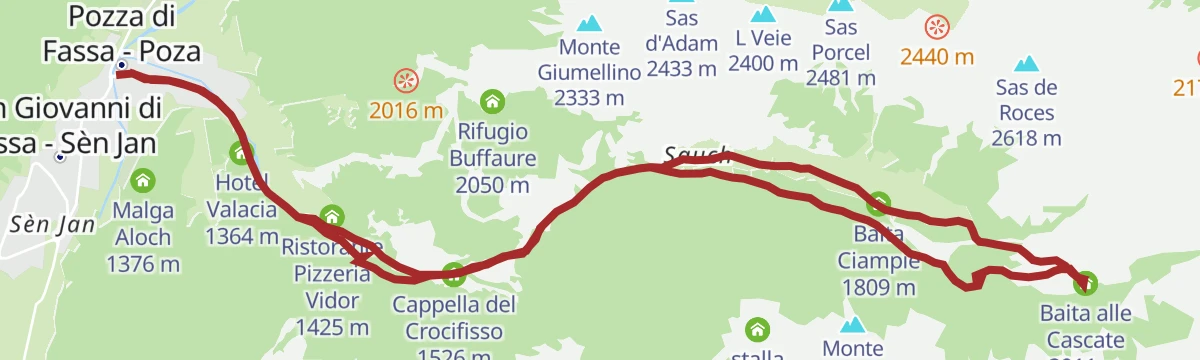
Open route APT Val di FassaFrom Pozza to the waterfalls in Val San Nicolò
A ride from Pozza by the Pont de Garneté, climbing the stream's left bank to the Val San Nicolò road and the falls above Malga al Crocifisso.
- 17.9 km
- Distance
- 695 m
- Ascent
- 2 h 15 min
- Duration
- 453
- Check-ins
- Baita alle Cascate 2 011 m
- Malga Crocifisso 1 526 m
- Ristorante La Soldanella 1 409 m
- Baita Ciampiè 1 809 m
- Cappella del Crocifisso 1 526 m
- Ristorante Pizzeria Vidor 1 425 m
- +5
Open route APT Val di FassaPozza - Loc. Bagnes - Pozza
A short loop from the San Nicolò church at Pozza on the Strada de Freina past old barns, then flat to the path towards Soraga.
- 3.0 km
- Distance
- 40 m
- Ascent
- 48 min
- Duration
- 50
- Check-ins
Open route APT Val di FassaGardeccia
A steep road climb to Gardeccia below the Catinaccio, with gradients that call for low gears.
- 6.2 km
- Distance
- 643 m
- Ascent
- 2 h 48 min
- Duration
- 287
- Check-ins
Torrente Avisio A - Val di Fassa
A long route up the Avisio through the Fassa valley, from Soraga towards the head of the valley.
- 25.0 km
- Distance
- 911 m
- Ascent
- 7 h 21 min
- Duration
- 115
- Check-ins
Open route Trentino FishingFiemme and Fassa Dolomites cycle route
A surfaced valley cycle path linking the Val di Fiemme with the Val di Fassa, running up to Canazei with a summer bike shuttle.
- 47.4 km
- Distance
- 710 m
- Ascent
- 4 h 38 min
- Duration
- 281
- Check-ins
- Baita Al Parco 1 438 m
- Azienda Turistica 1 307 m
- Park Hotel Faloria 1 453 m
- Ufficio Turistico APT Fassa 1 374 m
- Baita Ischia 1 412 m
- Bici Grill Moena 1 147 m
- +7
Open route APT Fiemme Cembra
No routes of this kind in San Giovanni di Fassa-Sèn Jan yet.
The region's own picks

Featured route
Forest Trail
A level woodland path between the Larsec ridge and the Catinaccio, easy underfoot and shaded throughout.
Planning a trip to San Giovanni di Fassa-Sèn Jan?
Everything else Trentino-Alto Adige/Südtirol has, in one place


Take San Giovanni di Fassa-Sèn Jan with you into the mountains
Every route on this page with 3D terrain, GPX navigation and offline maps — including the valleys with no signal.
Data sources
- Official website: visittrentino.info ↗
- Routes and highlights: APT Val di Fassa, Sterzing, Pfitsch und Freienfeld, APT Fiemme Cembra, YesAlps, Val Gardena, Dolomiti, VisitTrentino, Seis am Schlern, Arabba Fodom Turismo, Consorzio Operatori Turistici Alleghe - Caprile, Visit Trentino, Trentino Fishing
- Published as open data by the tourist boards named above.
- Region summary generated from the board's own material.
