
 Historic site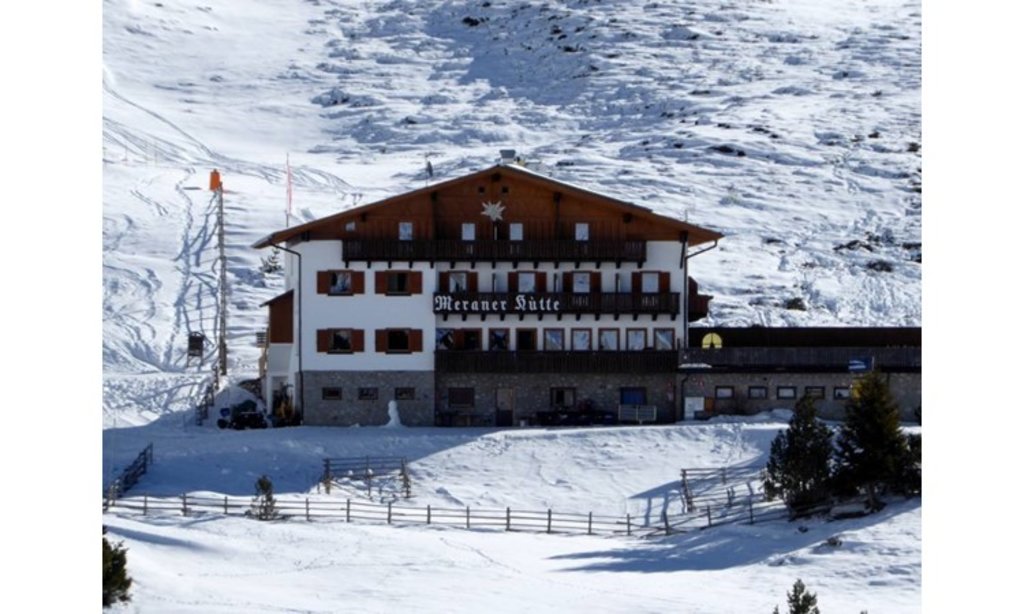




Curated by Sterzing, Pfitsch und Freienfeld
San Genesio Atesino/Jenesien
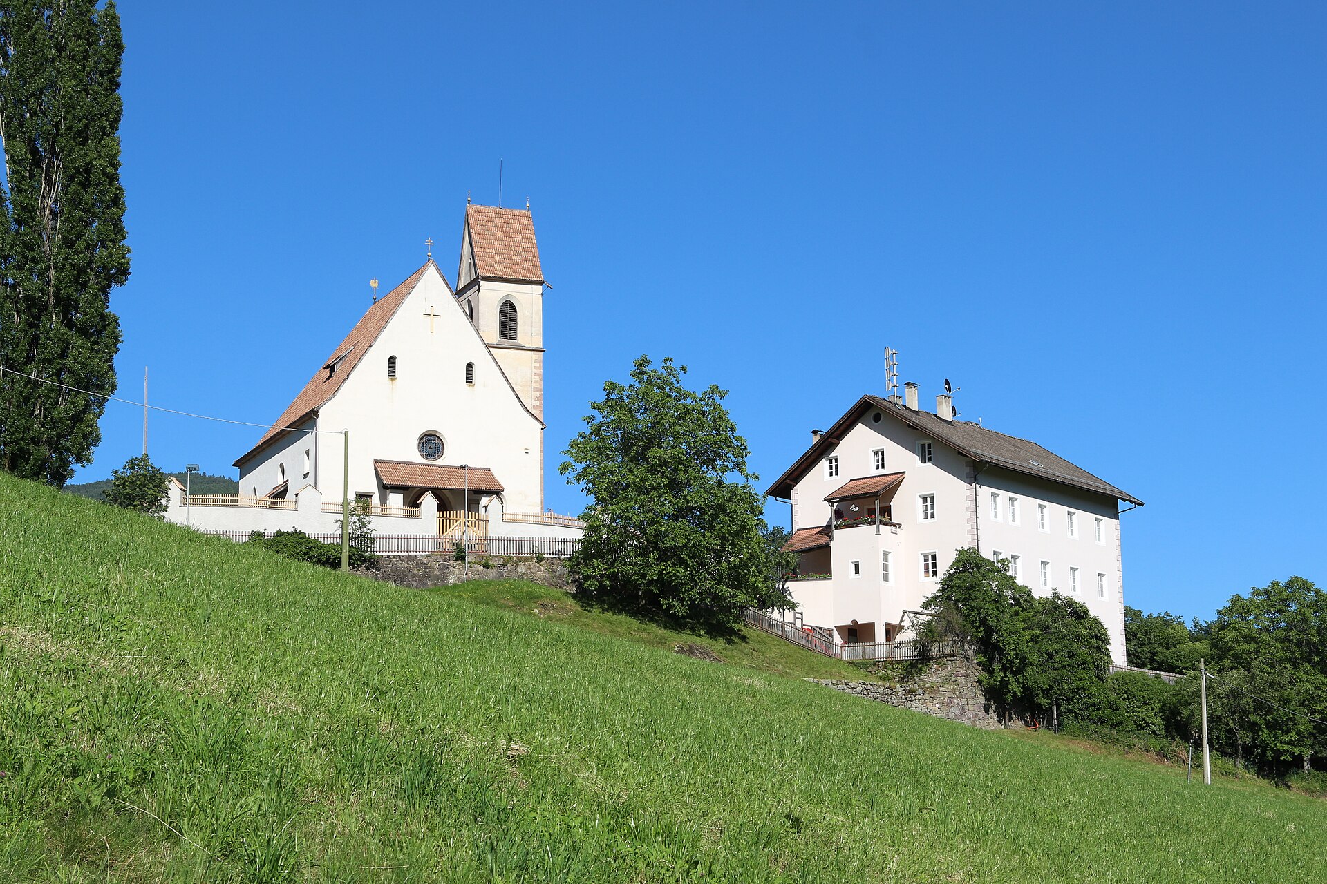
A terrace village on the Salto plateau above Bolzano, facing the Dolomites across the Isarco.
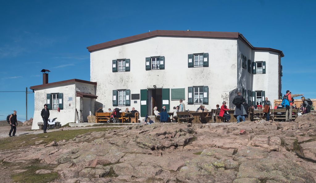
Photo: Braveheart · CC BY-SA 4.0 licence
- 1Highlights
- 12Routes
- Featured summit · Stoanerne Mandln
Highlights
14 from neighbouring places
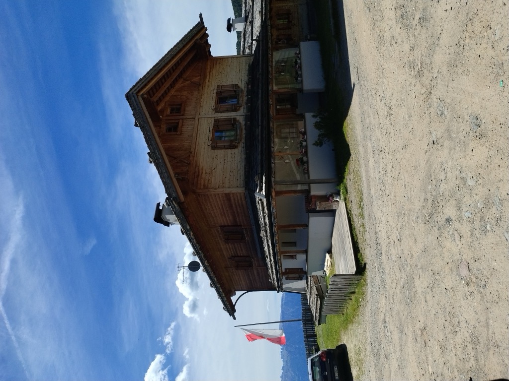
Berggasthof Lanzenschusterhof
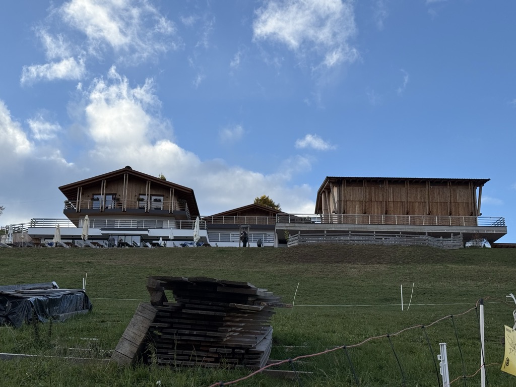
A mountain inn on the Tschögglberg above San Genesio, on the plateau that looks across to the Dolomites from north of Bolzano.
Malga Möltner Kaser
6.7 km away, in Meltina/Mölten
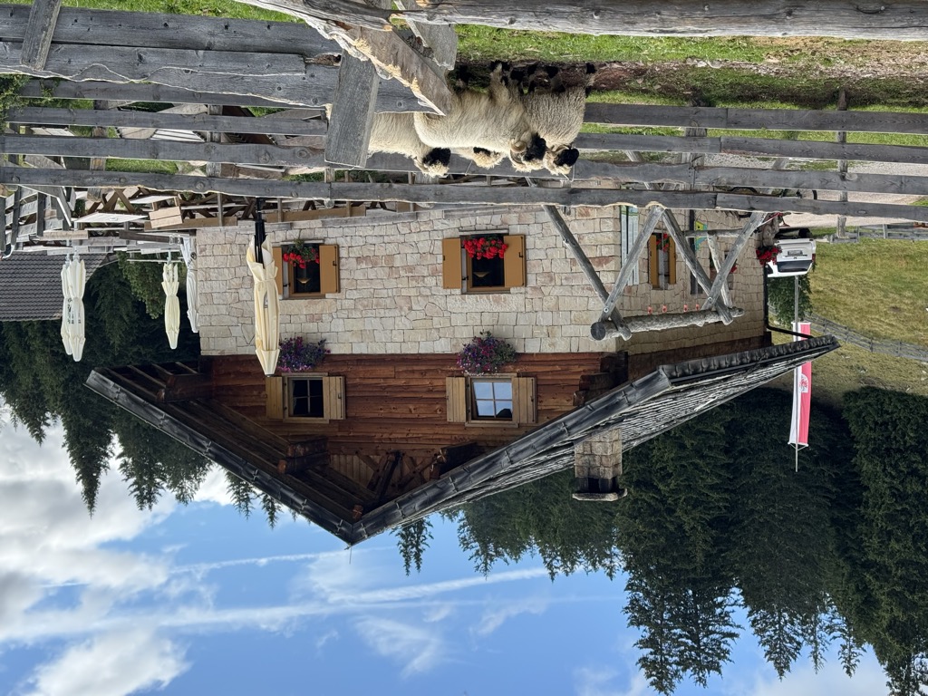
A dairy hut on the Salto plateau above Meltina, on the broad Tschögglberg ridge between the Adige and the Val Sarentino.
Sterzing, Pfitsch und FreienfeldMalga Wurzer Alm
10.3 km away, in Avelengo/Hafling
A working dairy on the Wurzer pastures above Avelengo, on the slopes below the Ifinger, serving what it makes.
Malga Wurzer
10.3 km away, in Avelengo/Hafling
A dairy hut on the pastures above Avelengo, on the high shelf between Hafling and the Ifinger.
Feltuner Hütte
10.6 km away, in Barbiano/Barbian
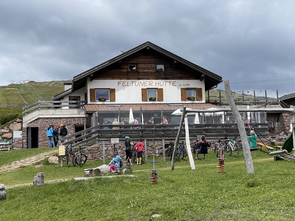
A hut on the pastures above Barbiano, below the long ridge of the Corno di Renon in the Alpi Sarentine.
Sterzing, Pfitsch und FreienfeldBaita Feltuner
10.6 km away, in Barbiano/Barbian
A baita on the slopes above Barbiano, on the way up from the Val Isarco towards the Corno di Renon.
Schutzhaus Rittner Horn
11.3 km away, in Barbiano/Barbian
A refuge just below the summit of the Corno di Renon above Barbiano, reached from the Pemmern chairlift or on foot from Renon.
Sterzing, Pfitsch und FreienfeldMalga Moschwaldalm
12 km away, in Avelengo/Hafling
A dairy hut on the Moschwald pastures above Avelengo, in the woods below the Merano 2000 plateau.
Sterzing, Pfitsch und FreienfeldMalga Pfroder
13.2 km away, in Villandro/Villanders
A dairy hut on the open ground of the Alpe di Villandro above Villandro, reached by the track from the valley.
Sterzing, Pfitsch und FreienfeldMini - Sentiero delle Stelle a Collepietra
13.3 km away, in Cornedo all'Isarco/Karneid
A short themed walk on the planets at Collepietra, the star village above the Val d'Ega, beside the local planetarium.
Rifugio Meraner Hütte
13.4 km away, in Avelengo/Hafling
A refuge on the Merano 2000 pastures above Avelengo, below the Kleiner Ifinger, reached from the lifts at Falzeben.
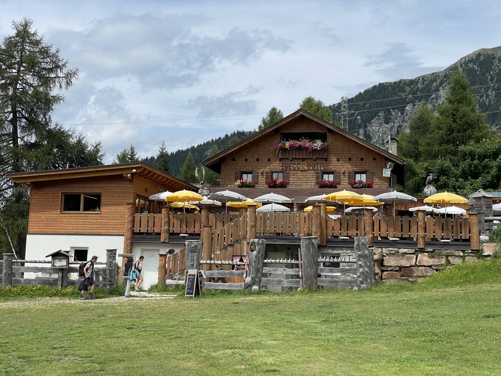
Sterzing, Pfitsch und FreienfeldChalet Zuegg
13.5 km away, in Avelengo/Hafling
A mountain house on the meadow terrace of Avelengo, high above the Adige valley and below the Merano 2000 pastures.
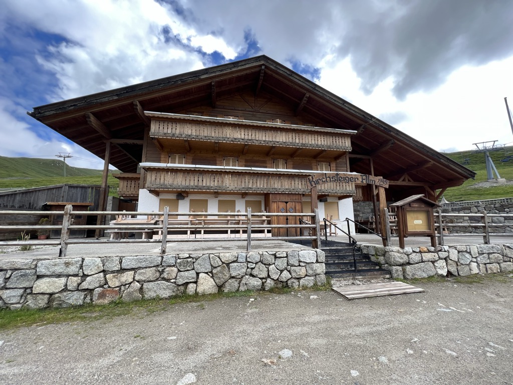
Malga Kirchsteiger
13.7 km away, in Avelengo/Hafling
A dairy hut above Avelengo, on the pasture slopes between the Hafling farms and the Merano 2000 ski ground.
Malga Waidmannalm
13.8 km away, in Avelengo/Hafling
A dairy hut on the Merano 2000 pastures above Avelengo, beside the runs and walking paths of the plateau.
Malga Mair in Plun
14.5 km away, in Villandro/Villanders
A dairy hut on the Alpe di Villandro, on the pastures above Villandro in the Val Isarco.
Sterzing, Pfitsch und Freienfeld
Nothing of this kind in San Genesio Atesino/Jenesien.
Routes
percorso della storia di Valas
A short signed loop at Valas between the Lanzenschuster inn and the Campitello car park, with stations on local history and rebuilt early huts.
- 4.2 km
- Distance
- 146 m
- Ascent
- 1 h 21 min
- Duration
- 5
- Check-ins
Open route Sterzing, Pfitsch und FreienfeldSentiero circolare: Campitello - Omini di Pietra
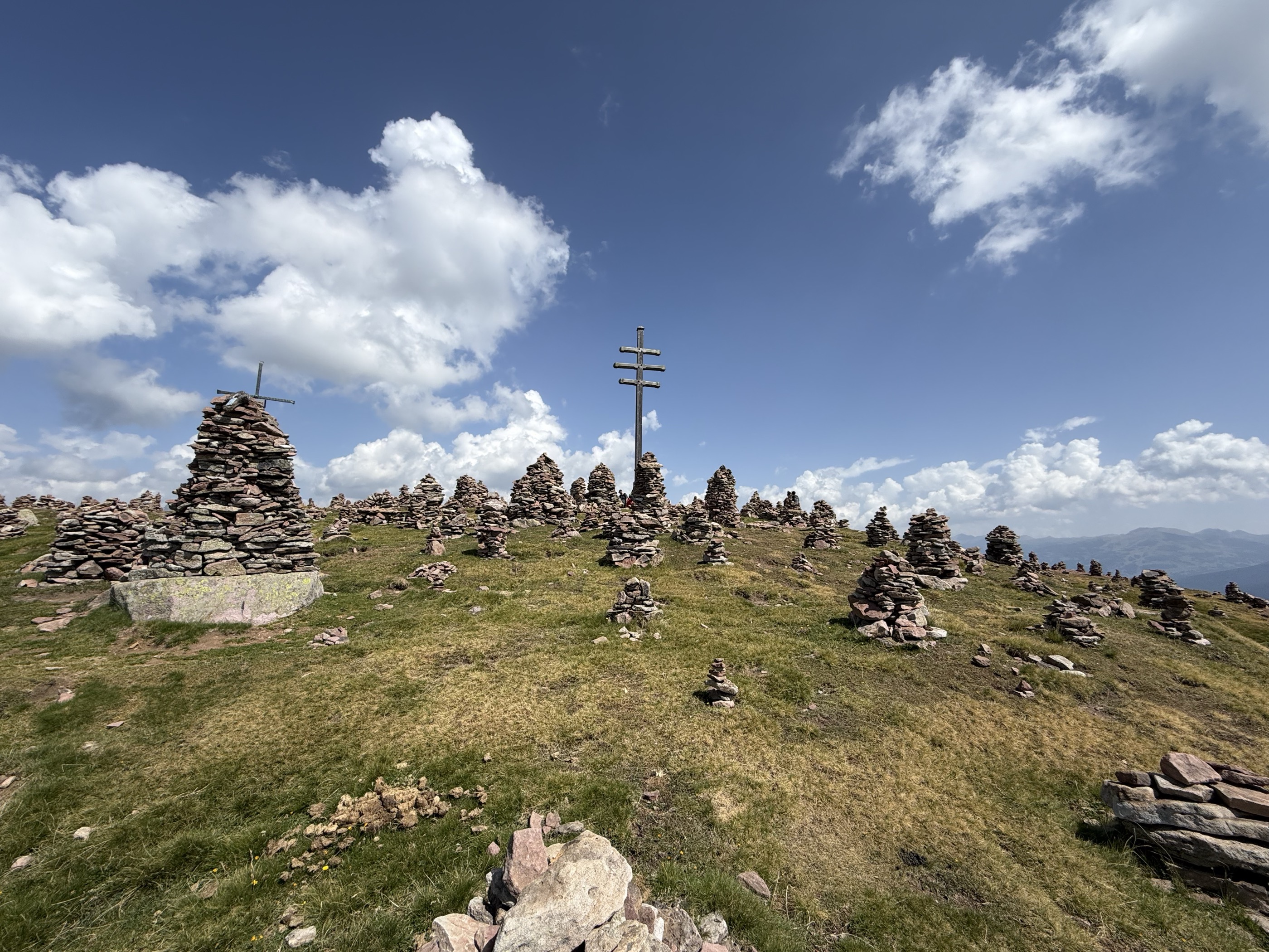
A circuit from the Campitello car park over the Jenesiener Jöchl to the Stoanerne Mandln, a ridge of stone cairns, returning by the Möltner Kaser.
- 13.4 km
- Distance
- 566 m
- Ascent
- 4 h 32 min
- Duration
- 90
- Check-ins
 Stoanerne Mandln 2 003 m
 Möltner Kaser 1 767 m
- Jenesier Jöchl 1 665 m
- Milchhaus 1 474 m
- Stegerhof 1 478 m
- Herrenhaus 1 478 m
Open route Partschins - Rabland - TöllMeran 2000
A high panoramic traverse from Merano 2000 to the Jenesien plateau above Bolzano, past alpine dairies and the Stoanerne Mandln cairns.
- 21.9 km
- Distance
- 376 m
- Ascent
- 6 h 53 min
- Duration
- 178
- Check-ins
Nordic Walking: San Genesio - Vorderafing
An out-and-back on trail 3a from the San Genesio tourist office down to the Unterweg inn at Vorderafing.
- 6.5 km
- Distance
- 272 m
- Ascent
- 2 h 12 min
- Duration
- 3
- Check-ins
Open route Sterzing, Pfitsch und FreienfeldSentiero delle Leggende
A route over the Salten plateau from the Stella Alpina riding stable towards Lavenna, with fourteen local legends set out on boards made by San Genesio schoolchildren.
- 14.4 km
- Distance
- 404 m
- Ascent
- 4 h 22 min
- Duration
- 23
- Check-ins
- Rabenbühel - Colle di Raben 1 513 m
- Gschnoferstall 1 436 m
- Edelweiss 1 358 m
- Saltnerhof 1 439 m
- Haflinger Unterwirt 1 228 m
- Langfenn 1 527 m
Open route Partschins - Rabland - TöllCampitello - Omini di Pietra
From the Schermoos car park, path 5 to the Moeltner Kaser hut and 23A to the Stoanerne Mandln cairns, returning by 23 past the Jenesier Joechl.
- 16.0 km
- Distance
- 639 m
- Ascent
- 5 h 20 min
- Duration
- 110
- Check-ins
- Stoanerne Mandln 2 003 m
- Möltner Joch 1 733 m
- Möltner Kaser 1 767 m
 Schermoossattel - Sella Schermoos 1 450 m
- Jenesier Jöchl 1 665 m
- Jausenstation Lanzenschusterhof 1 540 m
Open route Partschins - Rabland - TöllSentiero circolare: San Genesio - Gschnofer Stall - Larice secolare
A circuit from the sports fields at San Genesio across the Salten pasture to the Gschnoferstall, coming back by the centuries-old larch on trail 12.
- 9.1 km
- Distance
- 270 m
- Ascent
- 2 h 47 min
- Duration
- 18
- Check-ins
Open route Partschins - Rabland - TöllJenesien
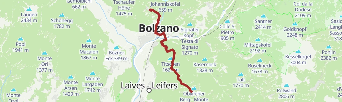
A long stage from Jenesien down through Bozen and up to Kohlern, then across the Regglberg plateau to Deutschnofen, facing the Dolomites.
- 23.7 km
- Distance
- 1 340 m
- Ascent
- 8 h 54 min
- Duration
- 29
- Check-ins
Sentiero circolare: San Genesio - Tschaufen - Salto
A circuit from San Genesio past the earth pyramids to the Tschaufenhaus, then back over the Salten plateau by way of the Stella Alpina.
- 13.8 km
- Distance
- 432 m
- Ascent
- 4 h 18 min
- Duration
- 17
- Check-ins
- Edelweiss 1 358 m
- Wieserhof 1 389 m
- Wieterer 1 250 m
- Saltnerhof 1 439 m
- Tschaufen 1 317 m
- Eggensepp 1 171 m
- +2
Open route Partschins - Rabland - TöllSentiero escursionistico "Guggn" San Genesio-Tschaufen
A family theme route from San Genesio up to the Salten plateau and Tschaufen, with nine play stations and boards about the horses and the larch woods.
- 7.9 km
- Distance
- 365 m
- Ascent
- 2 h 32 min
- Duration
- 13
- Check-ins
Open route Partschins - Rabland - TöllSentiero escursionistico "Avia" - Il sentiero del legnaiuolo
The woodcutter's trail from San Genesio through Afing to Mezzavia in the Sarntal, with nine hands-on stations on felling, timber work and the area's prehistory.
- 10.2 km
- Distance
- 336 m
- Ascent
- 3 h 48 min
- Duration
- 3
- Check-ins
Open route Partschins - Rabland - TöllRafenstein: Percorso tra le rovine (estate)
A shaded round from Bolzano up the Talvera gorge past Castel Roncolo and Castel Ried to the ruins of Rafenstein above the city.
- 8.1 km
- Distance
- 355 m
- Ascent
- 2 h 45 min
- Duration
- 1
- Check-ins
Open route Sterzing, Pfitsch und Freienfeld
No routes of this kind in San Genesio Atesino/Jenesien yet.
The region's own picks

Featured route
percorso della storia di Valas
A short signed loop at Valas between the Lanzenschuster inn and the Campitello car park, with stations on local history and rebuilt early huts.
Planning a trip to San Genesio Atesino/Jenesien?
Everything else Trentino-Alto Adige/Südtirol has, in one place


Take San Genesio Atesino/Jenesien with you into the mountains
Every route on this page with 3D terrain, GPX navigation and offline maps — including the valleys with no signal.
Data sources
- Official website: suedtirol.info ↗
- Routes and highlights: Sterzing, Pfitsch und Freienfeld, Partschins - Rabland - Töll, E5 Alps Crossing, YesAlps
- Published as open data by the tourist boards named above.
- Region summary generated from the board's own material.
