










 Summit
Königswiese, M. prato del re
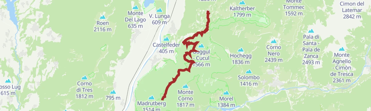
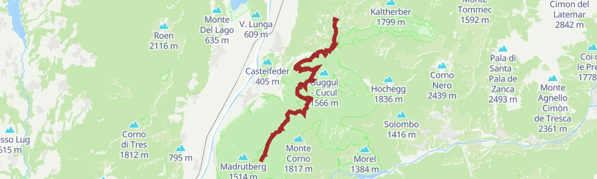
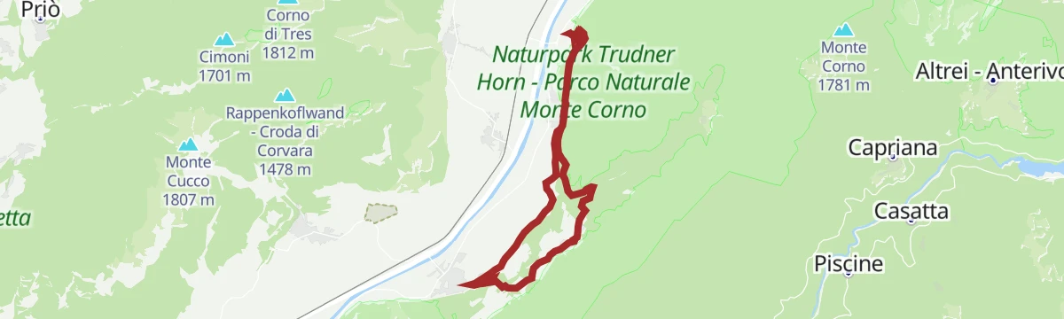
via Gfrill/Cauria - Königswiese: Fabulous beech groves and pictorial forests
Curated by Südtirols Süden
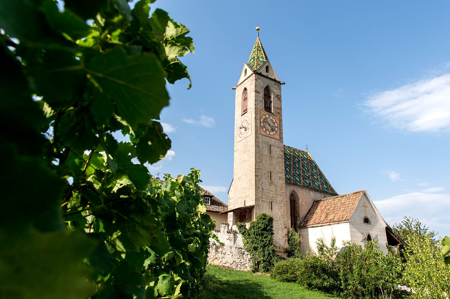
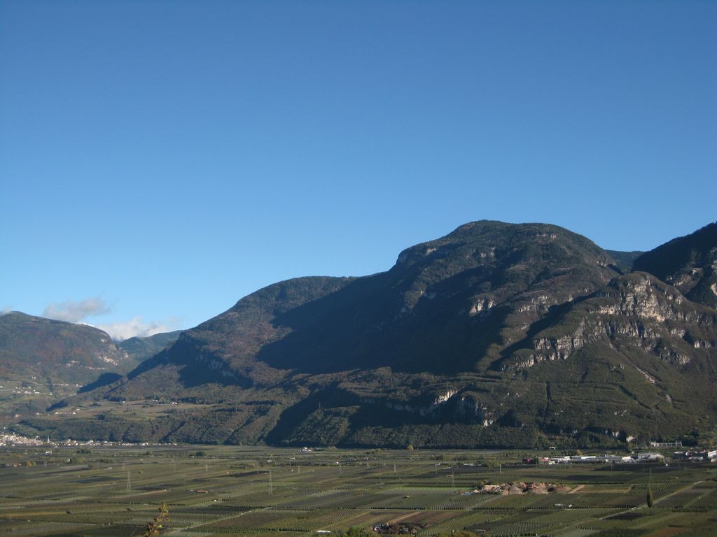
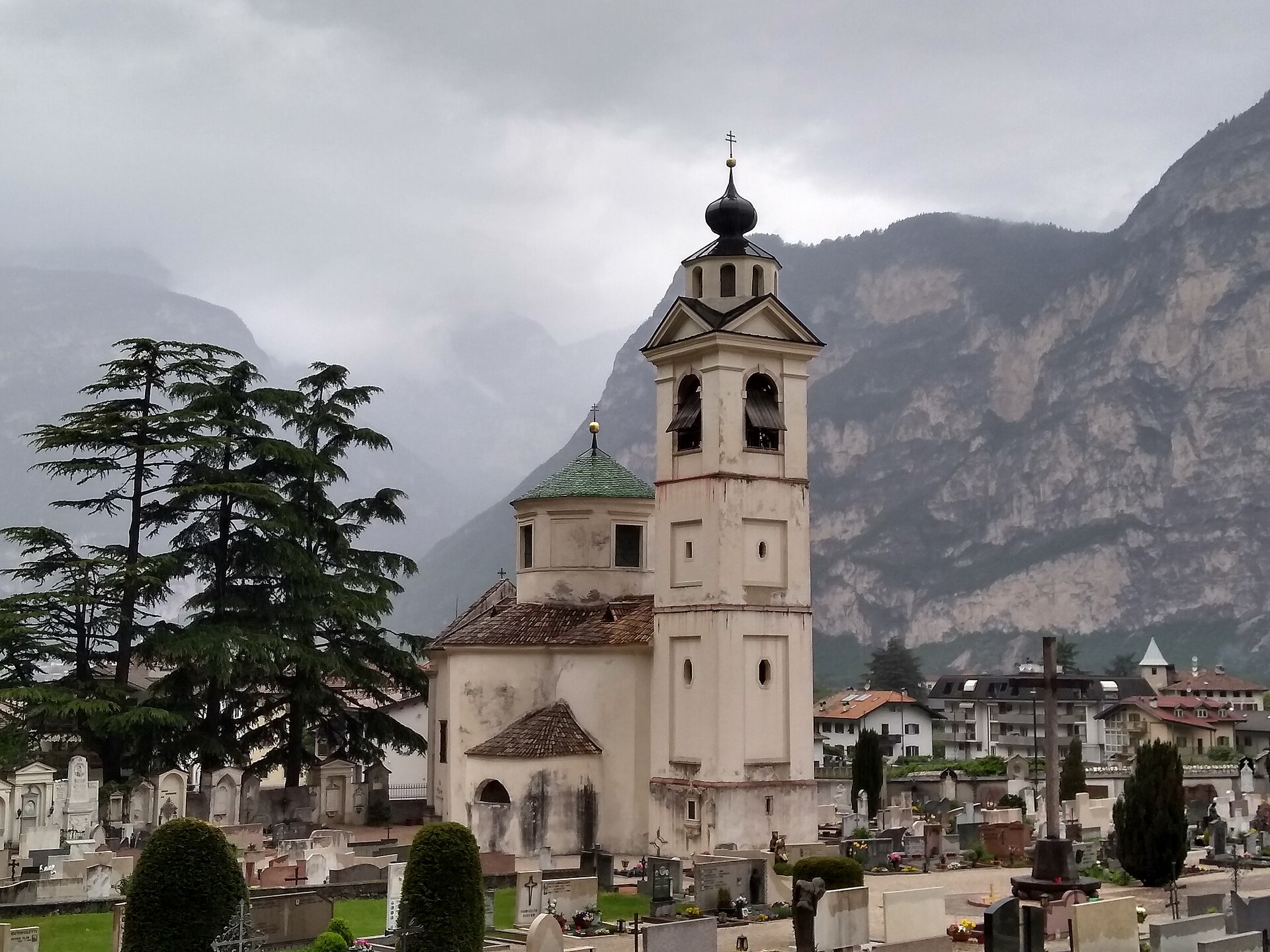
Bassa Atesina wine village below the Haderburg castle, on the rock gate where South Tyrol meets Trentino.
Photo: Plentn · CC0 licence
All 10 from neighbouring places
6.8 km away, in Cortaccia sulla strada del vino/Kurtatsch an der Weinstraße
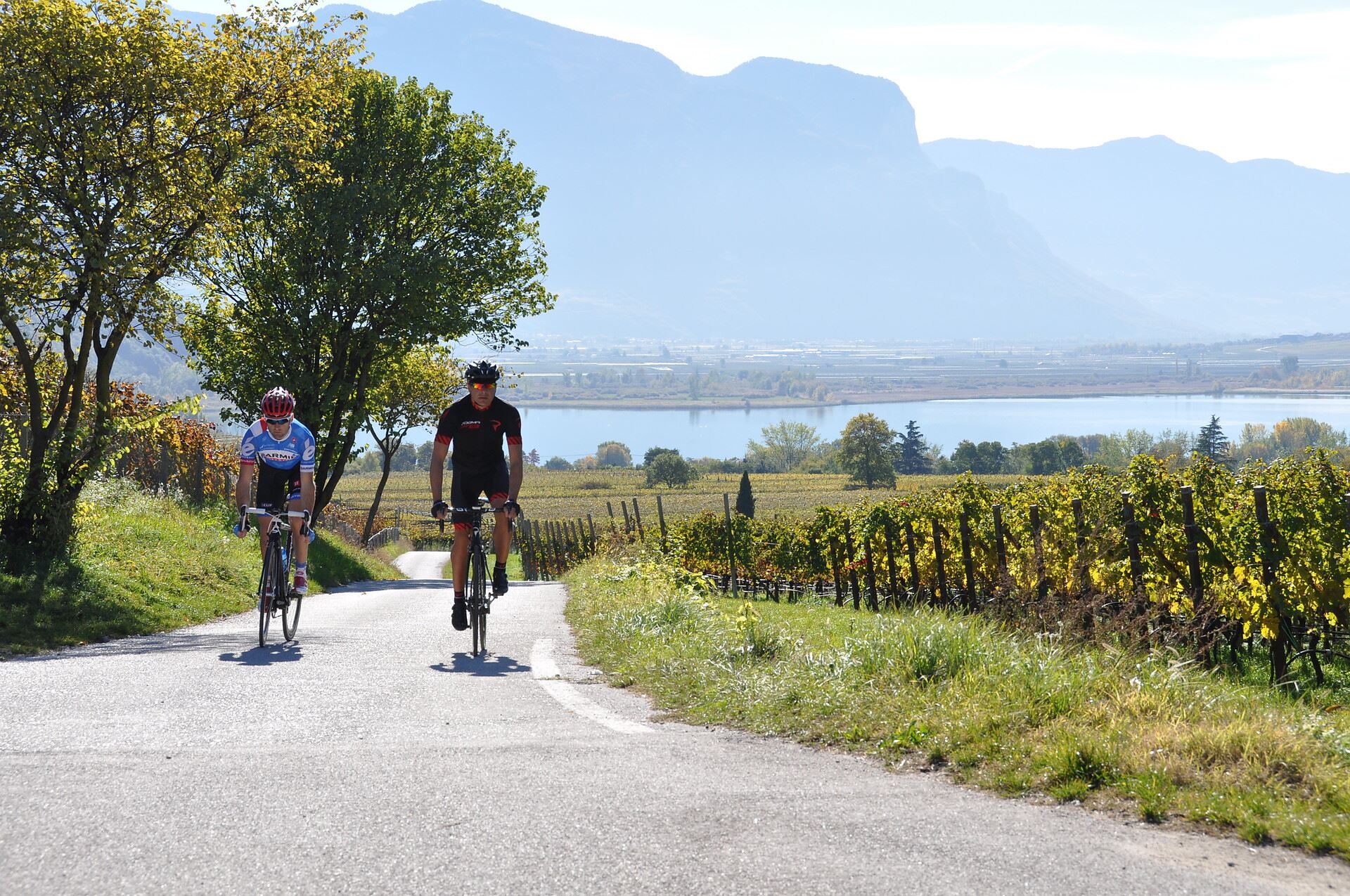
A cycle route linking the Monticolo and Caldaro lakes through the Bassa Atesina vineyards.
6.8 km away, in Cortaccia sulla strada del vino/Kurtatsch an der Weinstraße
A cycle route from the Cortaccia vineyards down to the Caldaro lake, the warmest bathing lake in the Alps.
12.8 km away, in Termeno sulla strada del vino/Tramin an der Weinstraße
A via ferrata above Termeno, climbing from the Rifugio Oltradige to Monte Roen on the Mendola ridge west of the Val d'Adige.
12.8 km away, in Termeno sulla strada del vino/Tramin an der Weinstraße
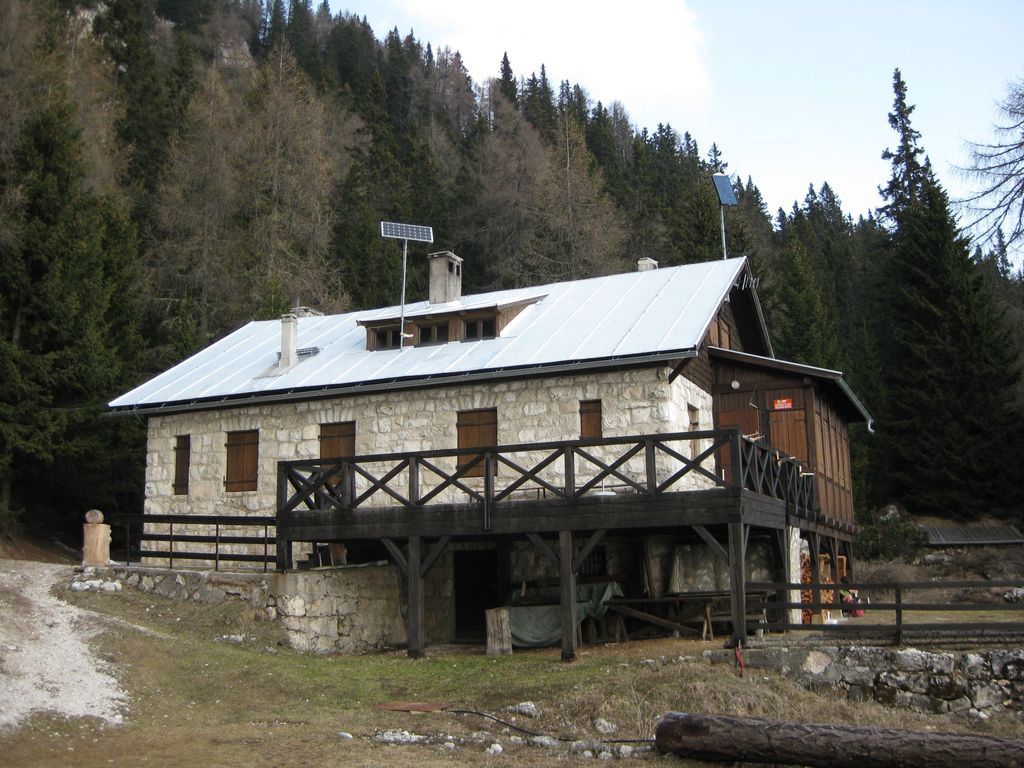
A refuge below Monte Roen on the Mendola ridge, reached from Termeno and Caldaro on the vineyard slopes of the Oltradige.
13.8 km away, in Caldaro sulla strada del vino/Kaltern an der Weinstraße
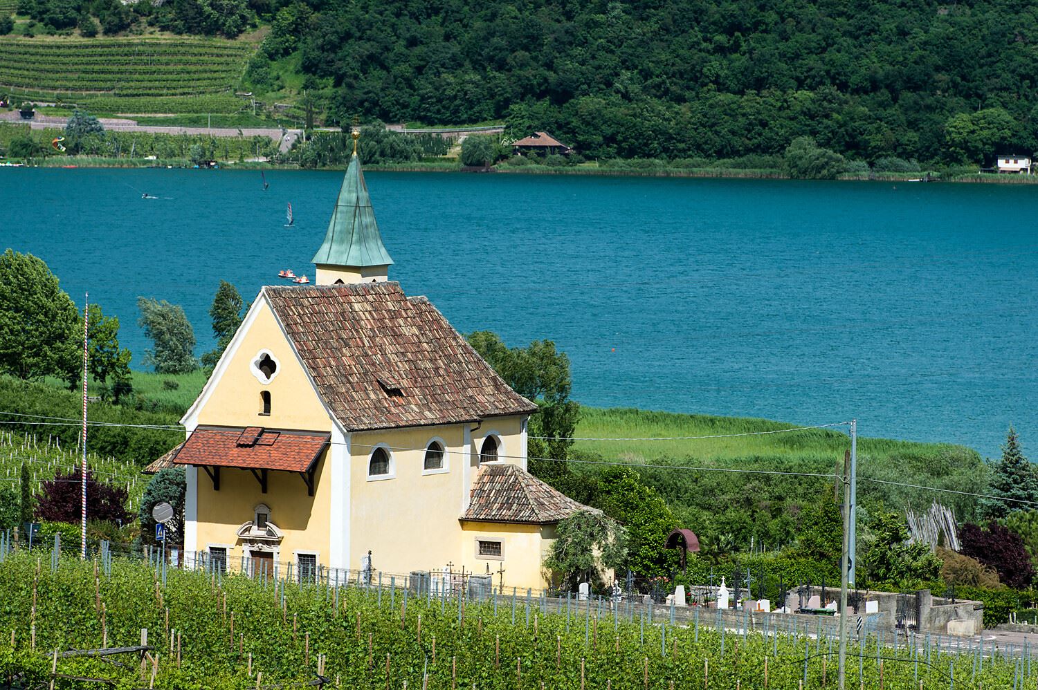
The church of San Giuseppe on the shore of Lake Caldaro.
13.8 km away, in Caldaro sulla strada del vino/Kaltern an der Weinstraße
The church of San Vigilio at Castelvecchio, above the Rastenbach gorge near Caldaro.
14.1 km away, in Caldaro sulla strada del vino/Kaltern an der Weinstraße
The ruins of Castelvecchio above the Rastenbach gorge, on the path between Caldaro and its lake.
14.2 km away, in Caldaro sulla strada del vino/Kaltern an der Weinstraße
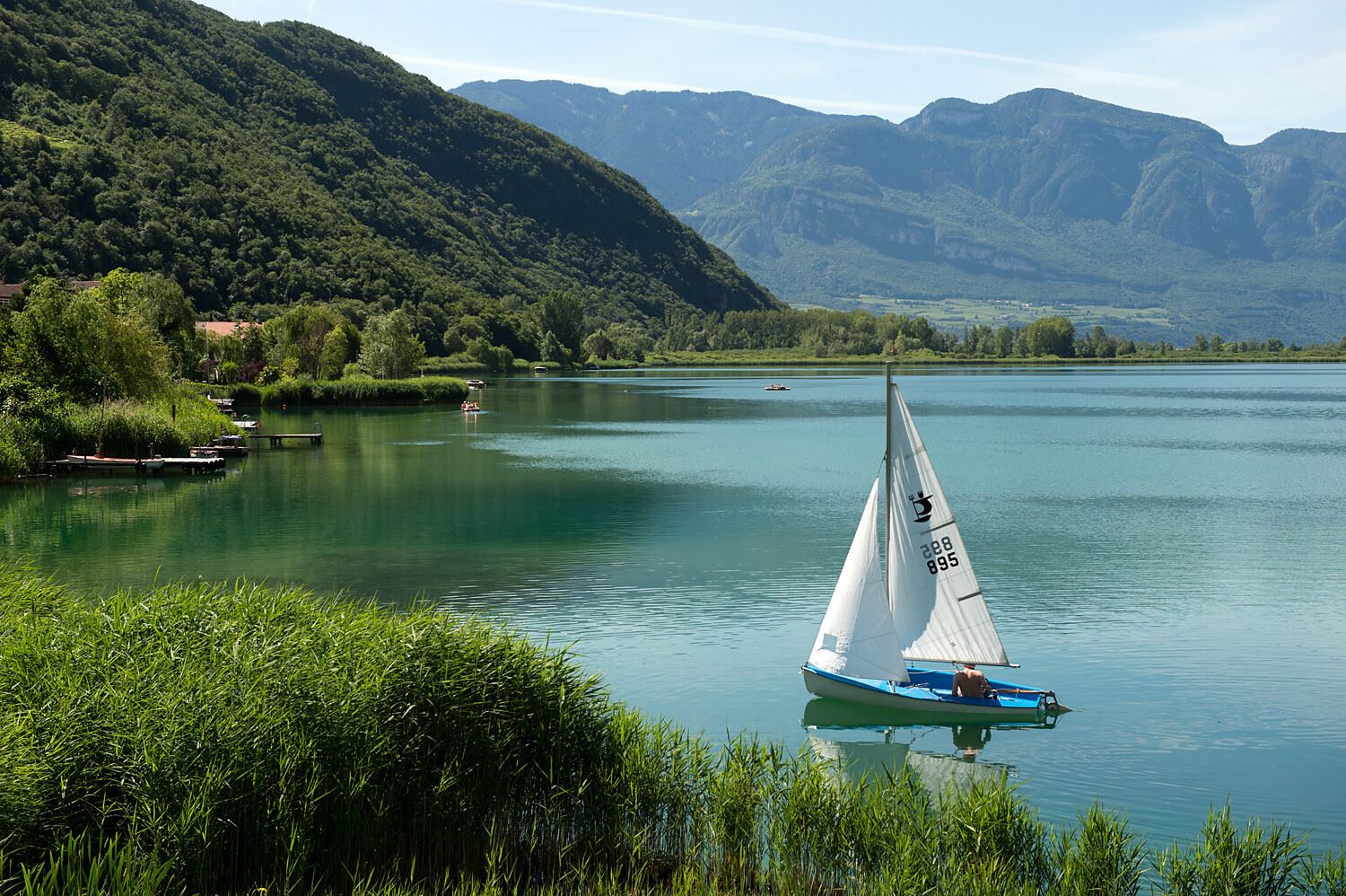
The warmest bathing lake in the Alps, in the vineyards below the Mendola ridge south of Bolzano.
14.7 km away, in Caldaro sulla strada del vino/Kaltern an der Weinstraße
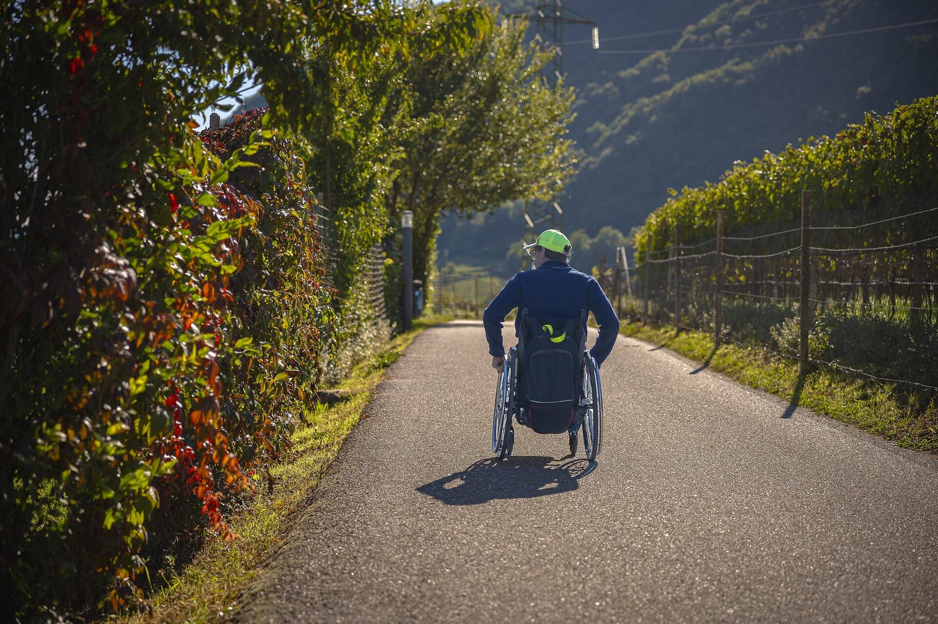
A level, step-free path around part of the Caldaro lake, the warmest bathing lake in the Alps.
14.8 km away, in Caldaro sulla strada del vino/Kaltern an der Weinstraße
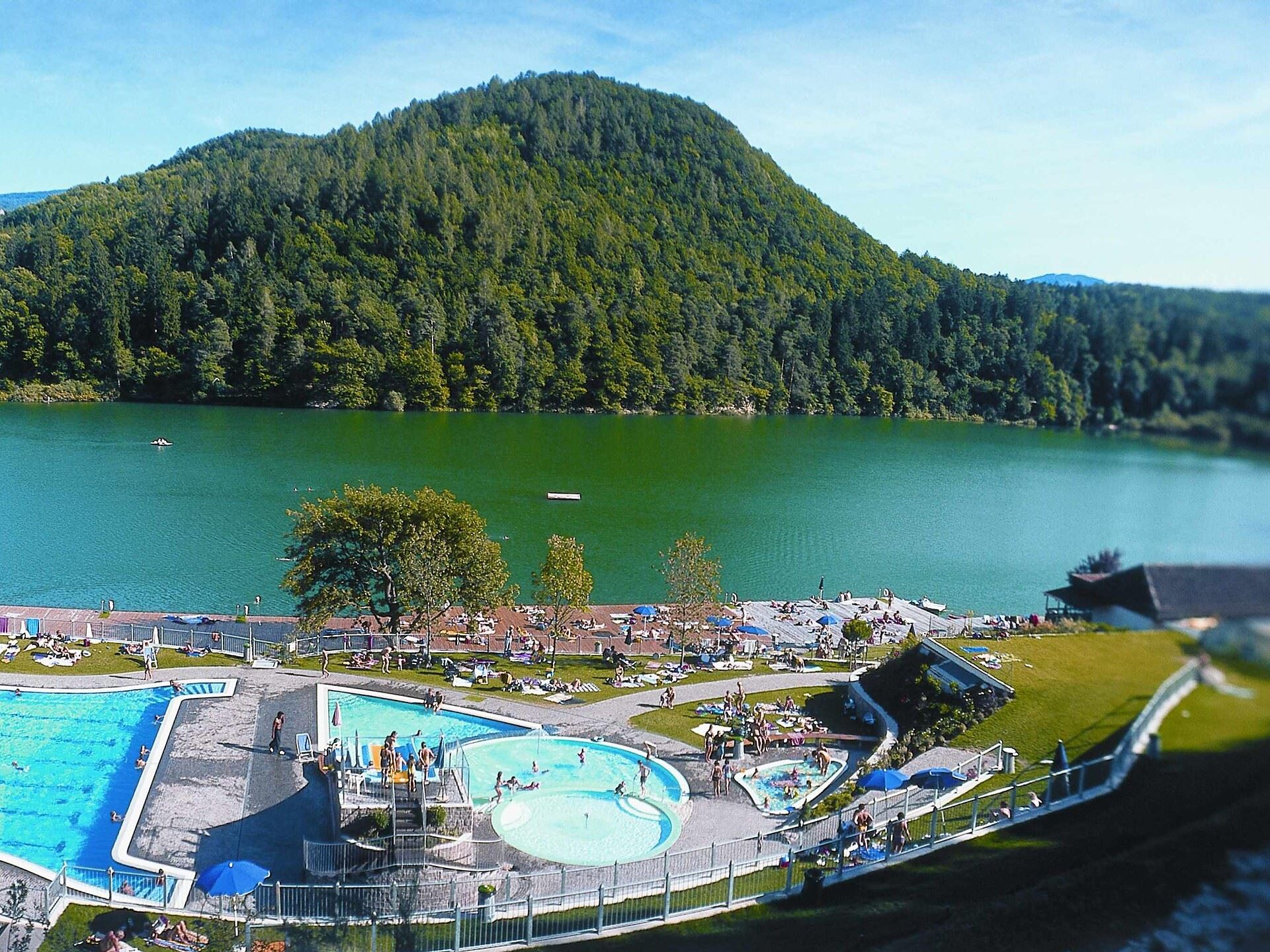
A lakeside bathing house on Lake Caldaro, among the vineyards of the Wine Road.
Nothing of this kind in Salorno sulla strada del vino/Salurn an der Weinstraße.
50 routes, an even mix of activities · see the rest on merano-suedtirol.it ↗
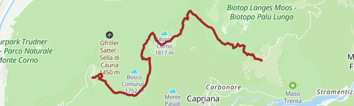
A signed forest road from the church at Cauria through conifer wood, with water to be had only at the Potzmauer hut and the Lago Santo.
A gentle stage from Anterivo over the Passo della Cisa to the Malga Corno hut, then down past the Lago Nero and Lago Bianco bogs to Cauria.
 Malga Monte Corno - Trudner Horn Alm 1 710 m
 Passo Cisa - Ziss-Sattel 1 448 m Hotel Waldheim 1 219 m
 Lago Nero - Schwarzsee 1 717 m Infostelle Parco 1 331 m
First day of a two-day route through the woods between the Adige and Cembra valleys, visiting peat bogs left behind by small glacial lakes.
Rifugio Lago Santo 1 208 m Passo della Crocola 948 m Pozze 1 054 m Roccolo 940 m Baita Fiorita 1 095 m Zise 1 245 mThe Adige cycle path from the Bolzano basin up the Isarco valley by Chiusa toward Bressanone.
Paterbichl 559 m Mila Bistro 282 m Kampill Center 270 m Klammwirt 559 m Hiasele 312 m Agrocenter Bozen OHG 296 mAn easy walk out of Cauria to the ruined winding station of the cableway that once carried timber down to the valley.
A stage from Cauria past the Lago Bianco and Lago Nero bogs to the Malga Corno hut, then over the Passo della Cisa to Anterivo.
Malga Monte Corno - Trudner Horn Alm 1 710 m Passo Cisa - Ziss-Sattel 1 448 m Hotel Waldheim 1 219 m Lago Nero - Schwarzsee 1 717 m Infostelle Parco 1 331 mThe long Dürer route, tracing the detour the painter made in 1494 when the flooded Adige pushed him over Pochi towards the Cembra valley and Segonzano.
Sas delle Otto 322 m Rifugio Lago Santo 1 208 m Chiosco alle Piramidi 601 m Passo della Crocola 948 m Pozze 1 054 m Roccolo 940 mA cycle-path route down the Adige from Ora to Lake Garda, through orchards, vineyards and the old river towns.
Prati Del Diavolo 208 m Taio 189 m Garda Dolomiti Azienda per il turismo S.p.A. 69 m Soardi Center 212 m cappella di San Rocco 213 m Passo San Giovanni 272 mA short circuit of Pochi di Salorno, calling at the sculpture garden and Via Masi Bassi before returning through the village.
Second day of the ancient lakes route above Salorno, on forest tracks past bogs that were once ponds on the Cembra watershed.
Malga Monte Corno - Trudner Horn Alm 1 710 m Lago Nero - Schwarzsee 1 717 m Rifugio Potzmauer 1 282 m Passo della cima 1 350 m Bait del Raffaele 1 499 m Bait della Gemma 1 457 mA quiet stage from Oberradein through the Trudner Horn nature park, over hay meadows and past the Weißsee to the mountain village of Gfrill.
A big day from Mezzocorona with the Denno ramp and then the Passo della Mendola, returning through Val di Non orchards and Wine Road vineyards.
Dosso Santa Margherita 307 m Passo della Mendola - Mendelpass 1 363 m Azienda per il Turismo Val di Non 1 364 m La Rocchetta 2019 270 m Castel Ringberg 306 m Paradiso 1 282 mAn access stage down from Cauria to Pochi by way of Unterstein and the disused cableway, crossing the Trodena fault line at the stream.
A walk from Cauria through the Monte Corno nature park to the Trudner Horn, with its alpine farm for a stop and the Adige lowlands in view.
Malga Monte Corno - Trudner Horn Alm 1 710 m Lago Nero - Schwarzsee 1 717 m Infostelle Parco 1 331 m Gfriller Sattel - Sella di Cauria 1 450 mThe full Dürerweg from the Adige lowlands over the Sauch pass to the Cembra valley, following the way Albrecht Dürer went in 1494.
The same Adige descent to Lake Garda on well-signed paths, at a gradient that suits riders of any standard.
Garda Dolomiti Azienda per il turismo S.p.A. 69 m cappella di San Rocco 213 m Passo San Giovanni 272 m Chiesa di Sant'Antonio 223 m Villa Eleganza 228 m Mori - Ala 167 mA short circuit at Salorno with boards on water as the century's gold, ending at the village waterfall.
A day among peat bogs that were once glacial lakes, in the forests dividing the Adige from the Cembra valley, past Malga Monte Corno.
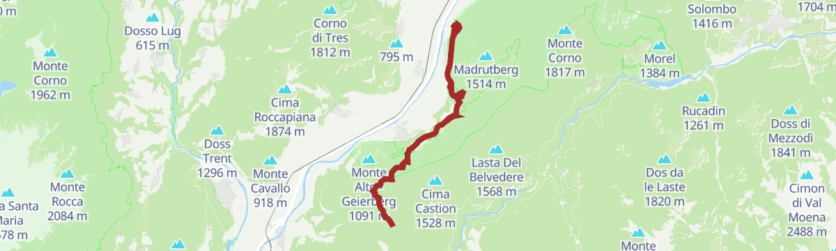
Malga Monte Corno - Trudner Horn Alm 1 710 m Forsthütte Hackelboden 1 430 m Gfriller Sattel - Sella di Cauria 1 450 m Kohlbrenner 560 mA Dürerweg stage from the old St. Florian hospice by Laghetti, climbing past the Madrutt cliff and the gorge at Salorno towards Lago Santo.
Sas delle Otto 322 m Rifugio Lago Santo 1 208 m Passo della Crocola 948 m Pozze 1 054 m Roccolo 940 m Baita Fiorita 1 095 mA long, nearly level ride down to the north end of Lake Garda and the villages along its shore.
Garda Dolomiti Azienda per il turismo S.p.A. 69 m cappella di San Rocco 213 m Passo San Giovanni 272 m ENI 197 m Villa Eleganza 228 m Visitrovereto.it 190 mA brief streamside promenade at Salorno below the waterfall whose grotto carries the legend of a golden sword fixed in the ground.
A climb out of Salorno by the Salomon farm to the Sauch refuge at 946 m, best in late spring when the beeches leaf out.
A well-marked long stage starting at Cauria, with almost no huts or shops along the way, so water has to be carried.
A long road tour down to the Adige and north along the South Tyrolean wine road as far as the Lago di Caldaro, returning over Passo Santel.
Tre3 1 037 m Albergo El Paso 1 036 m Passo Santel 1 040 m La Rocchetta 2019 270 m Maso Cervara 245 m APT Dolomiti Paganella 1 021 mA short steep approach to the Haderburg, the thirteenth-century castle ruin on a dolomite spur above Salorno, open in the warmer months.
A stage dropping from Cauria over the Passo Cauria to Casignano and Gsteig, past the Gleno falls and along the old Fiemme railway into Montagna.
A long day on well-kept roads and paths past the Lago Bianco and Lago Nero, with the Malga Monte Corno dairy for refreshments along the way.
Malga Monte Corno - Trudner Horn Alm 1 710 m Passo Cisa - Ziss-Sattel 1 448 m Malga di Grauno 1 294 m Rifugio Forestale "Fontanadro" 1 244 m Bait del Felice 1 507 mA road-bike day out to Lake Garda over the Passo San Giovanni, almost flat for its whole length.
Prati Del Diavolo 208 m Soardi Center 212 m cappella di San Rocco 213 m Passo San Giovanni 272 m Chiesa di Sant'Antonio 223 m ENI 197 mA loop around Cauria from the Pichl, using the old timber cableway path and Via Berger to rejoin the village road.
A demanding stage from Cauria down over the Passo Cauria to Casignano and Molini, then steeply to the Malga Cislon and on to Aldino.
Cislon-Alm - Malga Cislon 1 254 m Al Ponte - Brückenwirt 764 m Dorfnerhof 950 m Infostelle Parco 1 331 m Gfriller Sattel - Sella di Cauria 1 450 mA hundred-kilometre road tour from the Weinstraße down to Lavis, then up the terraced Cembra valley and back over the San Lugano pass.
Prati Del Diavolo 208 m Cappella della Beata Vergine del Rosario della nuova Pompei 985 m Al Ponte - Brückenwirt 764 m Ristorante Bar Vecchia Stazione 1 010 m B&B Casa Giovannelli 1 013 m Hotel Pausa 922 mA walk up to Pochi di Salorno and its sculpture garden, where more than two hundred bronze and marble works by Tatz-Borgogno stand in a broadleaf wood.
A long stage from Cauria over the Gfrill saddle to Casignano and Molini, then down to the Cislon alp and up again to Aldino.
Cislon-Alm - Malga Cislon 1 254 m Al Ponte - Brückenwirt 764 m Dorfnerhof 950 m Infostelle Parco 1 331 m Gfriller Sattel - Sella di Cauria 1 450 mA vineyard circuit south from Kurtatsch to Margreid, home of a grapevine planted in 1601, and Salurn, back along the Adige and past Lake Kaltern.
Appartement Florian 255 m Castelfeder - Grill-Imbiss - ristoro 221 m Turismusverein Kurtatsch - Informazioni Turistiche Cortaccia 344 m Pub Pizzeria Weinstraße 295 m Tramin 277 m Viktor's Imbiss 223 mThe uphill access stage from Pochi to the mountain village of Cauria, passing the ruined cableway and the Trodena line where the vegetation changes.
A long route through the Monte Corno nature park by way of Cauria, past a string of Bait huts and the La Lot marsh, ending at Rifugio Potzmauer.
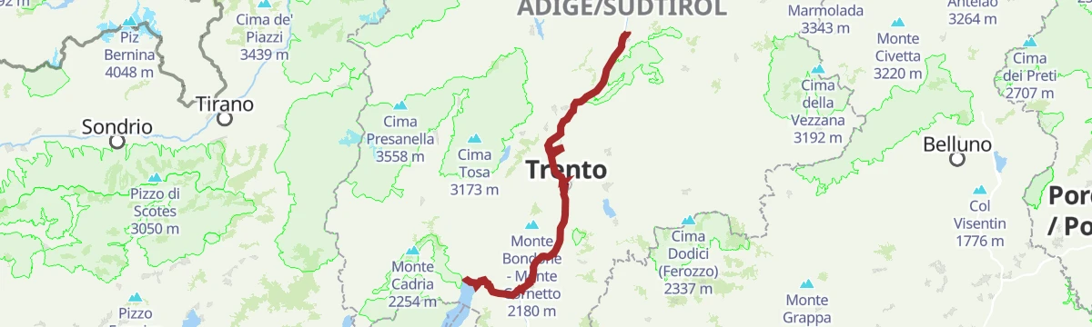
Passo della cima 1 350 m Bait del Raffaele 1 499 m Bait del Rodar 1 437 m Bait del Zucherin 1 433 m Bait della Gemma 1 457 m Bait del Gemol 1 433 mAn easy day on the Adige cycle path from the Bolzano basin down to Trento.
Prati Del Diavolo 208 m ENI 197 m Castelfeder - Grill-Imbiss - ristoro 221 m gas 212 m BikeBreak - Bicigrill Faedo 208 m ex Lord Hotel 210 mA long circuit from Egna by Laghetti to Pochi and Salorno, on the Dürer route past the Roman bridge and up towards the Sauch pass.
Sas delle Otto 322 m Kalkofen - Calcara 363 m Höfelen 273 m Ansitz Karneid 223 m Anegg 425 m Baita Garba Garbenhütte 224 mA long river route down the Trentino valley from the Bolzano border towards Verona, following the Adige past vineyards, orchards and bicigrill stops.
Prati Del Diavolo 208 m ENI 197 m Mori - Ala 167 m BikeBreak - Bicigrill Faedo 208 m ex Lord Hotel 210 m Da Silvio 211 mA road tour south under the cliffs to Mezzocorona and Lavis, climbing to Pressano above the Trentino vineyards before the Adige path home.
Prati Del Diavolo 208 m Turismusverein Kurtatsch - Informazioni Turistiche Cortaccia 344 m Pub Pizzeria Weinstraße 295 m Passo Croce 616 m gas 212 m Da Silvio 211 mA level run up the Adige cycle path from Ora to Trento, past Castelfeder and the Faedo bike stop.
Prati Del Diavolo 208 m Castelfeder - Grill-Imbiss - ristoro 221 m gas 212 m BikeBreak - Bicigrill Faedo 208 m ex Lord Hotel 210 m Da Silvio 211 mA wine-village tour to Salorno and back by way of Egna, Ora and Lake Kaltern, over the Kreiter Sattel; the Salorno-Ora leg can go by train.
Seehotel Ambach 223 m Appartement Florian 255 m Castelfeder - Grill-Imbiss - ristoro 221 m Turismusverein Kurtatsch - Informazioni Turistiche Cortaccia 344 m Tramin 277 m Kreiter Sattel - Sella di Novale al Varco 382 mA hard gravel loop from Lago Santo over the Zise and the Passo della cima, past a string of huts above the Cembra valley with the Lagorai in view.
Rifugio Lago Santo 1 208 m Zise 1 245 m Happy Ranch 1 189 m Rifugio Potzmauer 1 282 m Passo della cima 1 350 m Bait del Pinter 1 340 mAn easy loop through the vineyards south of Bolzano, running from Margreid along the Adige past the Bicigrill at Faedo.
Prati Del Diavolo 208 m gas 212 m BikeBreak - Bicigrill Faedo 208 m Da Silvio 211 m La Cacciatora 210 m SV Margreid - GS Magrè 213 mA tour of the southern wine villages from Kurtatsch by way of Margreid and Kurtinig to Salurn, with the Haderburg above and Laag on the way home.
Castelfeder - Grill-Imbiss - ristoro 221 m Turismusverein Kurtatsch - Informazioni Turistiche Cortaccia 344 m Tramin 277 m Viktor's Imbiss 223 m Freisingerhof 329 m Maval - Centro di Ippoterapia - Hippotherapiezentrum 209 mA level stage of the old Roman road south from Bolzano along the Adige, through the orchards of the Bassa Atesina past Castelfeder.
Maso al Lago - Schenk 237 m Castelfeder - Grill-Imbiss - ristoro 221 m Maier Anton Schotterwerk Bozen - Inerti Bolzano 243 m Safety Park 235 mAn easy valley ride heading north from the Trentino border through Egna and Ora, ending in the old streets of the provincial capital.
A loop through the vineyards of the Piana Rotaliana between Trento and Bolzano, climbing onto the Avisio slopes past the cappella di San Valentino.
gas 212 m ex Lord Hotel 210 m Da Silvio 211 m La Cacciatora 210 m Ex stazione della funivia "Direttissima della Paganella" 202 m cappella di San Valentino 449 mA circuit through the southernmost vineyards of South Tyrol, reaching Salurn at the province's edge and returning via Neumarkt and Auer.
Castelfeder - Grill-Imbiss - ristoro 221 m Turismusverein Kurtatsch - Informazioni Turistiche Cortaccia 344 m SV Margreid - GS Magrè 213 m Höfelen 273 m Ansitz Karneid 223 m Baita Garba Garbenhütte 224 mAn easy circuit of the Unterland on level lanes below Castelfeder, with almost no climbing.
Castelfeder - Grill-Imbiss - ristoro 221 m Viktor's Imbiss 223 m Höfelen 273 m Ansitz Karneid 223 m Baita Garba Garbenhütte 224 mNo routes of this kind in Salorno sulla strada del vino/Salurn an der Weinstraße yet.
Summit
via Gfrill/Cauria - Königswiese: Fabulous beech groves and pictorial forests

Featured route
A signed forest road from the church at Cauria through conifer wood, with water to be had only at the Potzmauer hut and the Lago Santo.
Everything else Trentino-Alto Adige/Südtirol has, in one place
Every route on this page with 3D terrain, GPX navigation and offline maps — including the valleys with no signal.


