






Curated by Visit Trentino
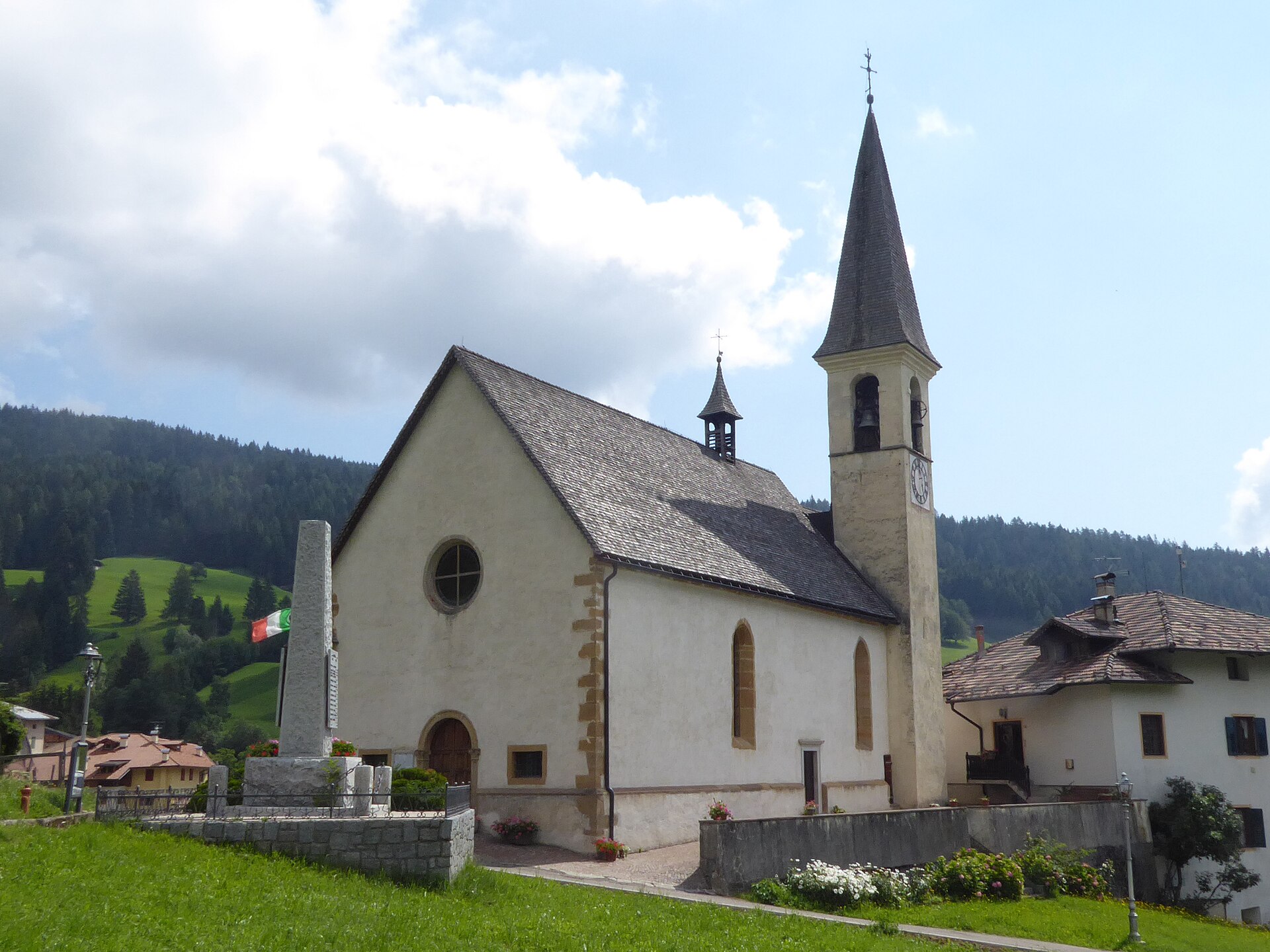
Rumo
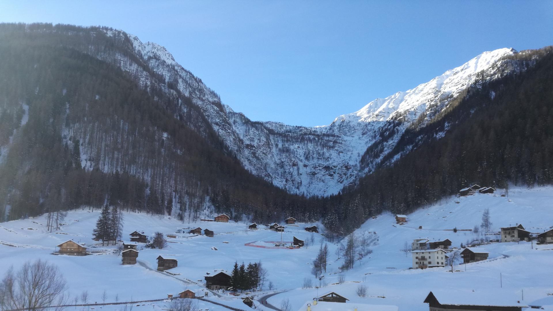
Scattered comune on the Pescara torrent below the Maddalene ridge, at the head of the Val di Non.
Photo: Syrio · CC BY-SA 4.0 licence
- 13Highlights
- 20Routes
- Featured summit · Monte Faiden
Highlights
All 13 from neighbouring places
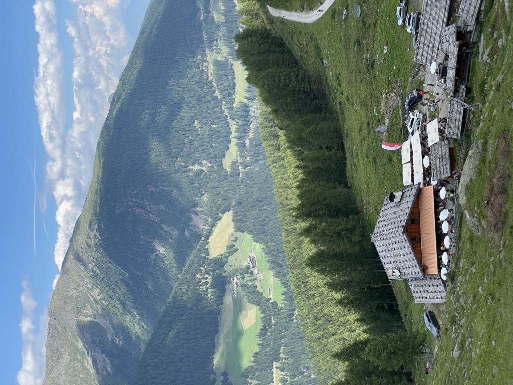
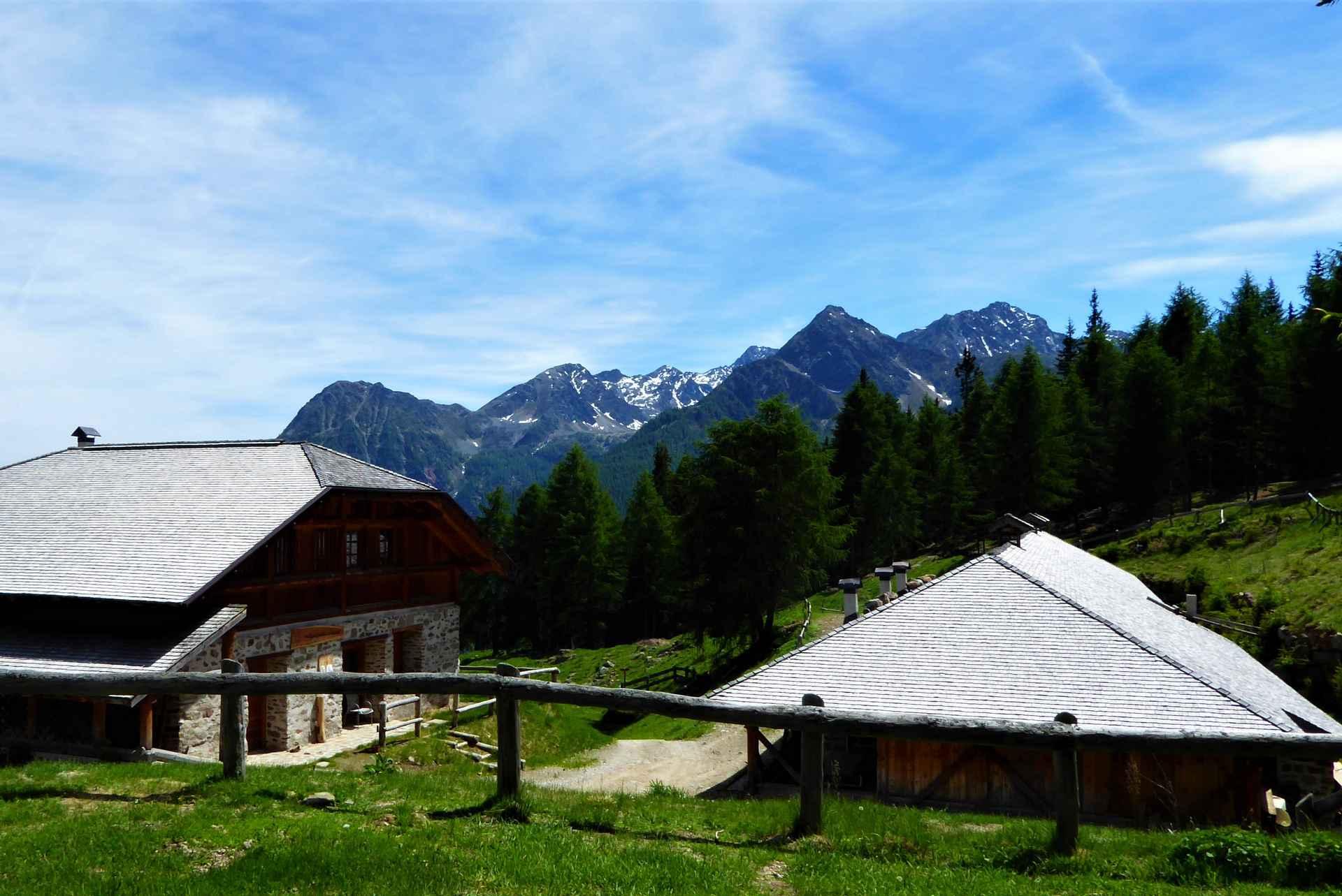
Malga Manzara (Stierberg)
4 km away, in Proves/Proveis
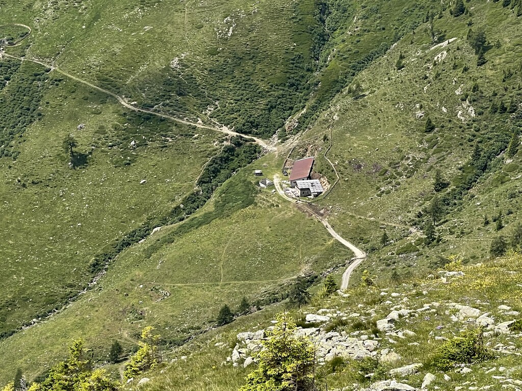
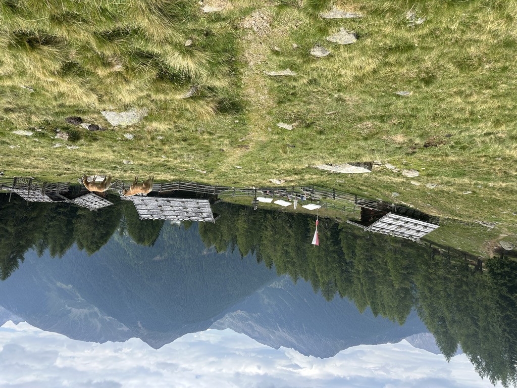
A dairy hut on the Stierberg pastures above Proves, between the Val di Non and the Val d'Ultimo.
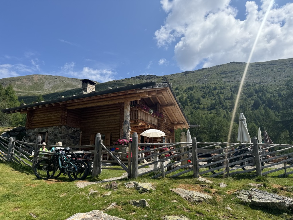
Sterzing, Pfitsch und FreienfeldMalga "Untere Kessel Alm"
6.2 km away, in Proves/Proveis
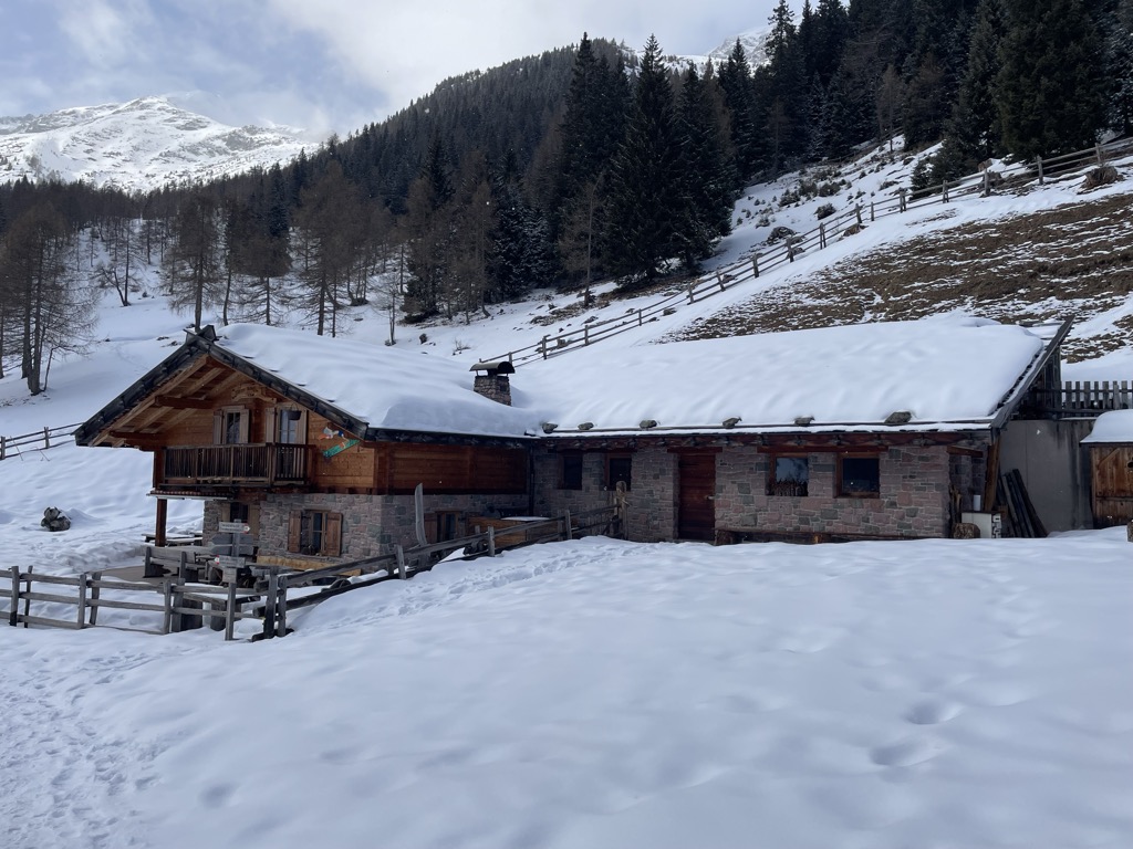
A dairy hut on the pastures above Proves, in the German-speaking upper Val di Non.
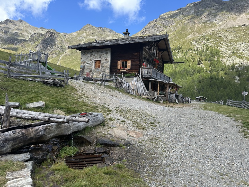
Sterzing, Pfitsch und FreienfeldMalga Kaserfeld
9.4 km away, in Ultimo/Ulten
A dairy hut on the Kaserfeld pastures of the Ultental, on the slopes below the ridge that closes the valley to the south.
Sterzing, Pfitsch und FreienfeldMalga Kirchberg
10.2 km away, in Ultimo/Ulten
A dairy hut on the Kirchberg pastures of the Ultental, reached by the track that climbs from the valley road above Ultimo.
Sterzing, Pfitsch und FreienfeldMalga Fiecht
11.5 km away, in Ultimo/Ulten
A dairy hut on the Fiecht pastures of the Ultental, in the comune of Ultimo, above the farms on the valley floor.
Sterzing, Pfitsch und FreienfeldMalga Kühberg
12.7 km away, in Ultimo/Ulten
A dairy hut on the high pastures above the Val d'Ultimo, in the comune of Ultimo, reached by forest track from the valley farms.
Sterzing, Pfitsch und FreienfeldMalga Innerfalkomai
14 km away, in Ultimo/Ulten
A dairy hut on the Falkomai pastures of the Ultental, high on the shady side of the valley in the comune of Ultimo.
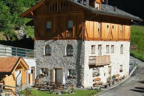
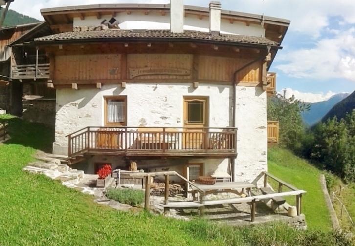
Sterzing, Pfitsch und FreienfeldChalet Val di Rabbi
12.3 km away, in Rabbi
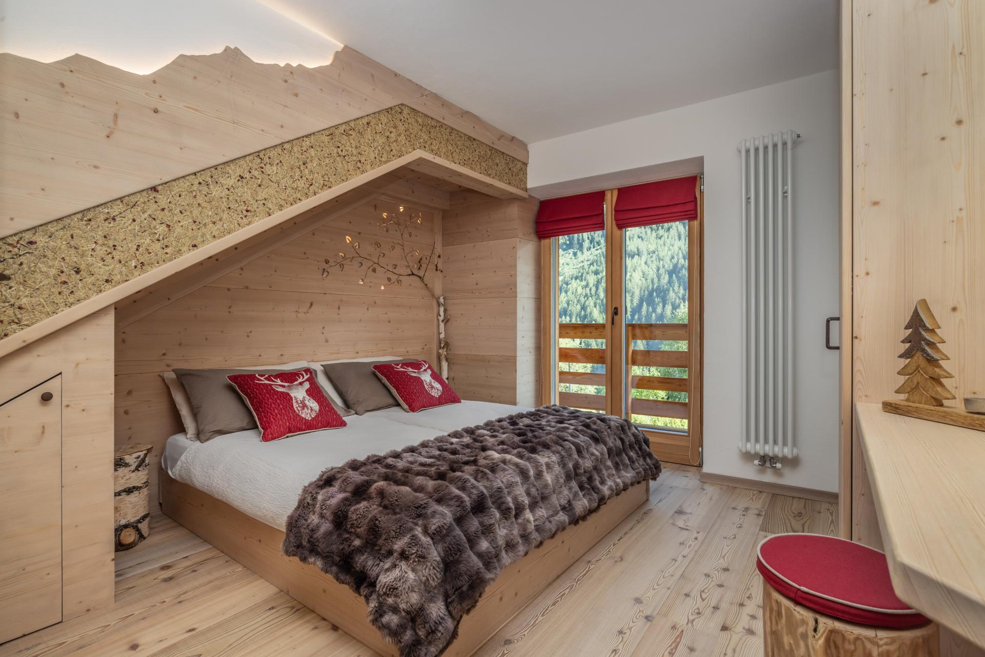
An eighteenth-century farmhouse in Rabbi, converted for walkers and skiers.
Malga Caldesa Bassa
12.4 km away, in Rabbi
A summer dairy pasture in the Val di Rabbi, open to walkers in the Stelvio national park.
Cascate di Valorz
12.4 km away, in Rabbi
A waterfall in the Val di Rabbi reached through the Valorz farmsteads, inside the Stelvio national park.
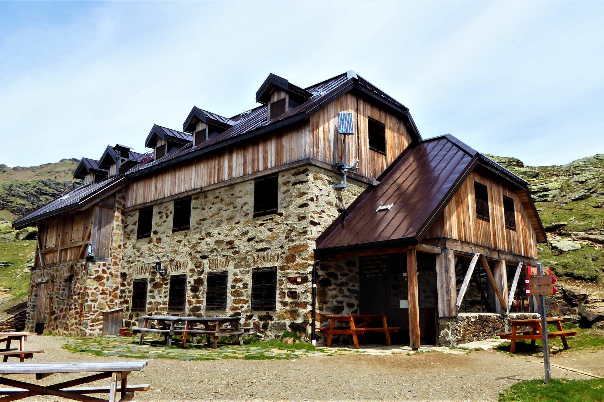
Rifugio Lago Corvo
12.7 km away, in Rabbi
A hut at the Lago Corvo, where the Val di Rabbi meets the southern end of the Val d'Ultimo.
Baita L'Anda
13.1 km away, in Rabbi
A restored farmhouse hut at Piazzola di Rabbi, at 1,300 m in the Stelvio national park.
MAS DEL MEZDI'
14.7 km away, in Rabbi
A detached chalet at Somrabbi in the Val di Rabbi, inside the Stelvio national park.
Nothing of this kind in Rumo.
Routes
Anello panoramico al Passo Fresna sopra le frazioni di Rumo
An easy ring above the hamlets of Rumo to the Passo Fresna, open to the Maddalene group and across to Proves.
- 5.7 km
- Distance
- 255 m
- Ascent
- 1 h 57 min
- Duration
- 6
- Check-ins
Escursione al Rifugio Maddalene
A climb through quiet forest to the Maddalene hut, on the Trentino side of the group above Rumo.
- 6.2 km
- Distance
- 644 m
- Ascent
- 3 h 55 min
- Duration
- 10
- Check-ins
Crossing 133 Aldo Bonacossa, stage 3: Rifugio Maddalene - Malga Bordolona
The longest leg of the Bonacossa crossing, from the Maddalene hut over the Passo Binasia to the Malga Bordolona, with three bivouacs on the way.
- 15.9 km
- Distance
- 942 m
- Ascent
- 6 h 15 min
- Duration
- 25
- Check-ins
 Rifugio Maddalene 1 925 m
- Malga Bordolona di Sopra 2 084 m
- Bivacco Malga Val 1 933 m
- Bivacco Forestale 1 830 m
- Malga Masa Murada 2 046 m
- Malga Binasia di Sopra 2 138 m
- +1
Open route APT Val di NonTour 1429 – Ziro del lez: An old irrigation canal used as an MTB trail
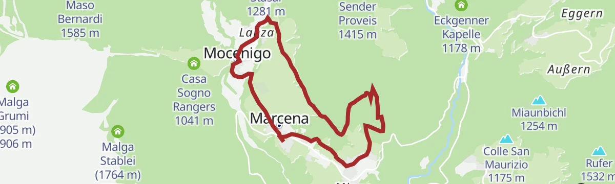
A singletrack outing above Rumo under the Maddalene ridge, following the disused water channels of Val Lavazzè from Corte Superiore via Mocenigo.
- 12.9 km
- Distance
- 444 m
- Ascent
- 1 h 34 min
- Duration
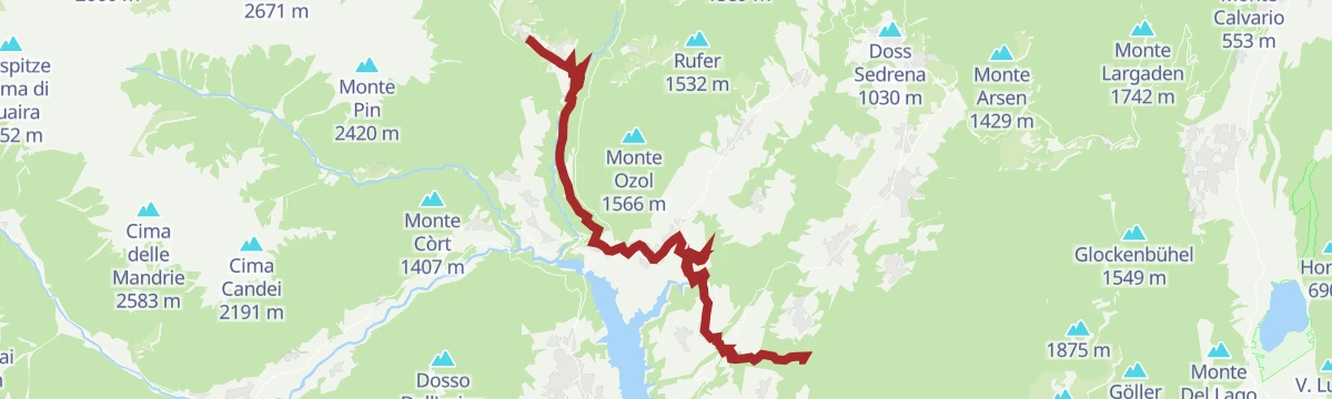
Open route APT Val di NonEasy loop of the Val di Non with ascent to Rumo
A road ride out of Cles across the Mostizzolo bridge, climbing the western side valley and coming back past the dam.
- 41.1 km
- Distance
- 896 m
- Ascent
- 4 h 29 min
- Duration
- 9
- Check-ins
Open route APT Val di NonA piedi sulla neve da Maso Stasal di Rumo ai grandi prati di Fresna
A winter walk from Maso Stasal up to the broad meadows of Fresna, close to the border village of Proves.
- 4.1 km
- Distance
- 174 m
- Ascent
- 1 h 23 min
- Duration
- 3
- Check-ins
Anello tra Rumo e Passo Fresna
A circuit through the meadows of Rumo and its hamlets up to the Alto Adige boundary at the Passo Fresna.
- 12.9 km
- Distance
- 569 m
- Ascent
- 4 h 25 min
- Duration
- 6
- Check-ins
Loop between Maddalene Refuge and Cima Olmi
A demanding ring from the Maddalene hut up to the Cima degli Olmi, the high point of the group above the Val di Rumo.
- 12.3 km
- Distance
- 1 290 m
- Ascent
- 7 h 52 min
- Duration
- 22
- Check-ins
- Rifugio Maddalene 1 925 m
 Samer Joch - Passo di Brèz 2 187 m
 Samersee - Laghetto Cima Lavazzè Inferiore 2 215 m
- Faler Scharte - Passo Termen de Val 2 252 m
- Bivacco Malga Val 1 933 m
Open route APT Val di NonE-bike classico anello attorno a Rumo
A loop entirely on tarmac lanes carrying very little traffic, taking in the scattered hamlets of Rumo in western Trentino.
- 25.4 km
- Distance
- 665 m
- Ascent
- 2 h 53 min
- Duration
A piedi sulla neve lungo il pianeggiante Lez di Rumo
A sunny level walk on the Lez track at the edge of the wood above the hamlets of Rumo, good in snow.
- 5.0 km
- Distance
- 114 m
- Ascent
- 1 h 27 min
- Duration
Lez di Rumo
A long level track above the hamlets of Rumo, with the Val Lavazzè opening out along the way.
- 10.2 km
- Distance
- 320 m
- Ascent
- 3 h 11 min
- Duration
tour goldlahn
A long circuit above Proves over Monte Faiden and the Seespitz to the Goldlahn, on the Maddalene ridge.
- 14.2 km
- Distance
- 1 136 m
- Ascent
- 7 h 20 min
- Duration
- 20
- Check-ins
 Monte Faiden 1 992 m
- Seespitz - Lavazzè 2 417 m
- Goldlahn 2 390 m
- Goldlahnspitz 2 184 m
- Samer Joch - Passo di Brèz 2 187 m
- Samersee - Laghetto Cima Lavazzè Inferiore 2 215 m
- +3
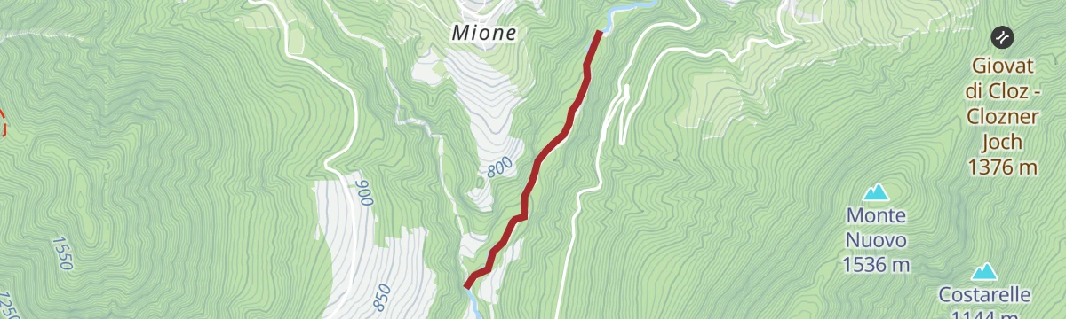
Open route APT Val di NonTorrente Pescara P
A short flat stretch along the Pescara torrent below the villages of Rumo.
- 1.8 km
- Distance
- 16 m
- Ascent
- 33 min
- Duration
Open route Trentino FishingLoop between Lanza and Corte Inferiore in Rumo passing through the "Lez"
A loop linking Lanza and Corte Inferiore by the level Lez track, with two small village churches worth a look.
- 8.4 km
- Distance
- 253 m
- Ascent
- 2 h 36 min
- Duration
Open route APT Val di NonIl lago della Poinella nel Gruppo delle Maddalene
A climb into a wild corner of the Maddalene where the small Poinella lake sits below sharp peaks on the South Tyrol border.
- 11.2 km
- Distance
- 1 061 m
- Ascent
- 6 h 36 min
- Duration
- 9
- Check-ins
Torrente Lavazzè L
A near-level route following the Lavazzè torrent up its valley above Rumo, close to the water.
- 10.9 km
- Distance
- 29 m
- Ascent
- 3 h 38 min
- Duration
Open route Trentino FishingCamino Jacobeo d'Anaunia - III final stage short version
The short third stage, dropping from Marcena along the Pescara stream to Cagnò above Lake Santa Giustina, then on a former canal ledge to San Romedio.
- 19.4 km
- Distance
- 737 m
- Ascent
- 6 h 32 min
- Duration
Open route APT Val di NonWalk in the breeze of Rumo
A mid-height walk above the hamlets of Rumo, on open meadow tracks at the head of the Val di Non.
- 7.7 km
- Distance
- 261 m
- Ascent
- 2 h 26 min
- Duration
Open route APT Val di NonCammino Jacopeo d'Anaunia
The stage from Rumo to Terzolas, crossing the Val di Bresimo to reach the Val di Sole.
- 23.8 km
- Distance
- 823 m
- Ascent
- 7 h 47 min
- Duration
Jacopeo d'Anaunia Path - II stage
The second stage of the Jacopeo d'Anaunia pilgrim route, rolling through Lauregno and Senale, once a waypoint for travellers bound for Rome.
- 18.6 km
- Distance
- 642 m
- Ascent
- 6 h 21 min
- Duration
Open route APT Val di Non
No routes of this kind in Rumo yet.
The region's own picks

Featured route
Anello panoramico al Passo Fresna sopra le frazioni di Rumo
An easy ring above the hamlets of Rumo to the Passo Fresna, open to the Maddalene group and across to Proves.
Planning a trip to Rumo?
Everything else Trentino-Alto Adige/Südtirol has, in one place


Take Rumo with you into the mountains
Every route on this page with 3D terrain, GPX navigation and offline maps — including the valleys with no signal.
Data sources
- Official website: visittrentino.info ↗
- Routes and highlights: Visit Trentino, APT Val di Non, Sterzing, Pfitsch und Freienfeld, Valdirabbi, Trentino Fishing
- Published as open data by the tourist boards named above.
- Region summary generated from the board's own material.
