
Curated by Piemonte Outdoor
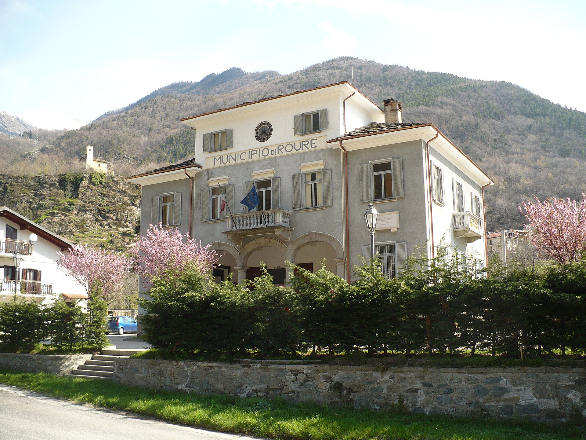
Roure
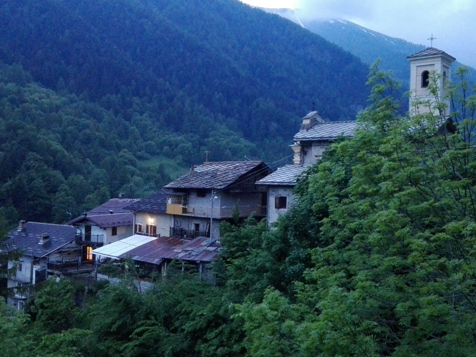
Villages on the wooded slopes of the Val Chisone between Perosa and Fenestrelle, below the Orsiera-Rocciavrè park.
- 1Highlights
- 2Routes
Highlights
All 1 from neighbouring places
Museo di Rodoretto
12.8 km away, in Prali
A museum in the Waldensian hamlet of Rodoretto above Prali, whose displays record the working lives of women in these valleys.
Nothing of this kind in Roure.
Routes
5 from neighbouring places
Giro dell’Orsiera G.O. Tappa 2: Rifugio Balma
A stage from Rifugio Selleries over the Colletto Robinet, passing the Lago Laus and its bivouac before the drop to the refuge below.
- 9.1 km
- Distance
- 2 635 m
- Ascent
- 14 h 12 min
- Duration
- 49
- Check-ins
Giro dell’Orsiera G.O. Tappa 3: Rifugio Selleries
A stage of the Orsiera circuit ending at the Rifugio Selleries, on the Chisone side of the Orsiera-Rocciavrè park.
- 6.7 km
- Distance
- 2 569 m
- Ascent
- 13 h 35 min
- Duration
- 33
- Check-ins
 Rifugio Selleries 2 023 m
 La Manica 2 027 m
- Rifugio Toesca 1 711 m
 Colle del Sabbione 2 560 m
Giro dell’Orsiera G.O. Tappa 4: Rifugio Toesca
7.3 km away, in Bussoleno
A stage high above the Val Susa at Bussoleno, crossing Colle Mulinas and the Porta del Chiot between Rifugio Amprimo and the bergerie of the Orsiera.
- 13.1 km
- Distance
- 655 m
- Ascent
- 4 h 48 min
- Duration
- 18
- Check-ins
Giro dell’Orsiera G.O. Tappa 1: Borgata Molè
8 km away, in Coazze
The first stage of a circuit out of Coazze in the Val Sangone, a steep pull up to the Rifugio Balma.
- 4.5 km
- Distance
- 1 986 m
- Ascent
- 10 h 25 min
- Duration
- 8
- Check-ins
Giro dell’Orsiera G.O. Tappa 5: Rifugio Amprimo
9.3 km away, in Bussoleno
A short stage between two Val Susa refuges above Bussoleno, passing the Lago delle Rane and the Rifugio GEAT Val Gravio.
- 7.9 km
- Distance
- 305 m
- Ascent
- 2 h 36 min
- Duration
- 23
- Check-ins
Glorioso Rimpatrio dei Valdesi: Tappa 5 Località Balziglia
10.2 km away, in Massello
A long stage of the Waldensian Glorious Return route, ending at Balziglia deep in the Massello valley.
- 15.8 km
- Distance
- 830 m
- Ascent
- 5 h 59 min
- Duration
- 7
- Check-ins
Giro dell’Orsiera G.O. Tappa 6: Rifugio Geat Val Gravio
8.1 km away, in Villar Focchiardo
A stage above Villar Focchiardo crossing the Colle Ben Mule and the Colletto dell'Orso, with the rock viewpoints of Roc du Jermu and Roc Da Cumba on the way.
- 14.3 km
- Distance
- 707 m
- Ascent
- 5 h 12 min
- Duration
- 5
- Check-ins


No routes of this kind in Roure yet.
Planning a trip to Roure?
Everything else Piedmont has, in one place


Take Roure with you into the mountains
Every route on this page with 3D terrain, GPX navigation and offline maps — including the valleys with no signal.
Data sources
- Official website: valsusainfo.it ↗
- Routes and highlights: Piemonte Outdoor, Italia.it
- Published as open data by the tourist boards named above.
- Region summary generated from the board's own material.
