
 Viewpoint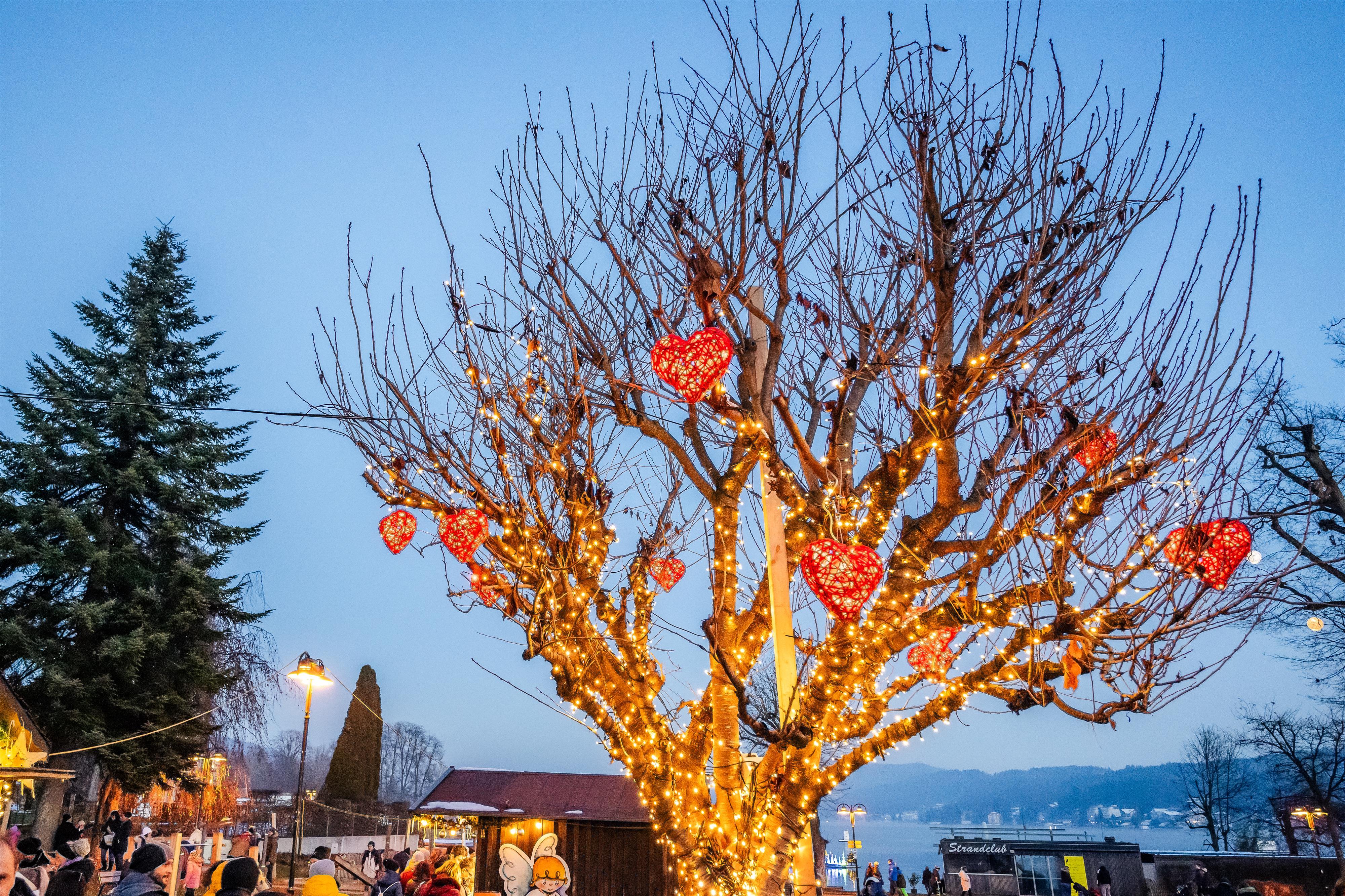

 Historic site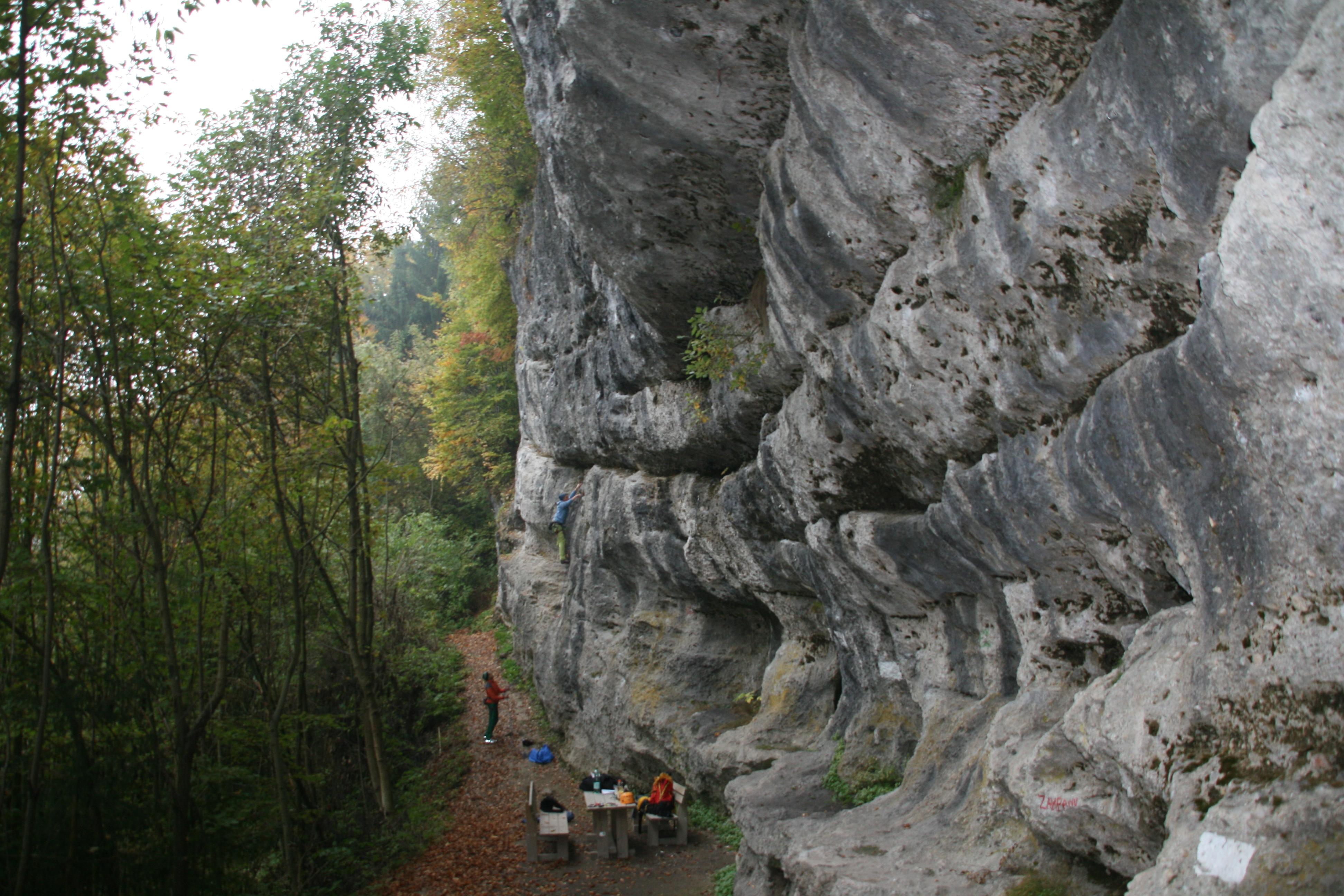
 Mountain hut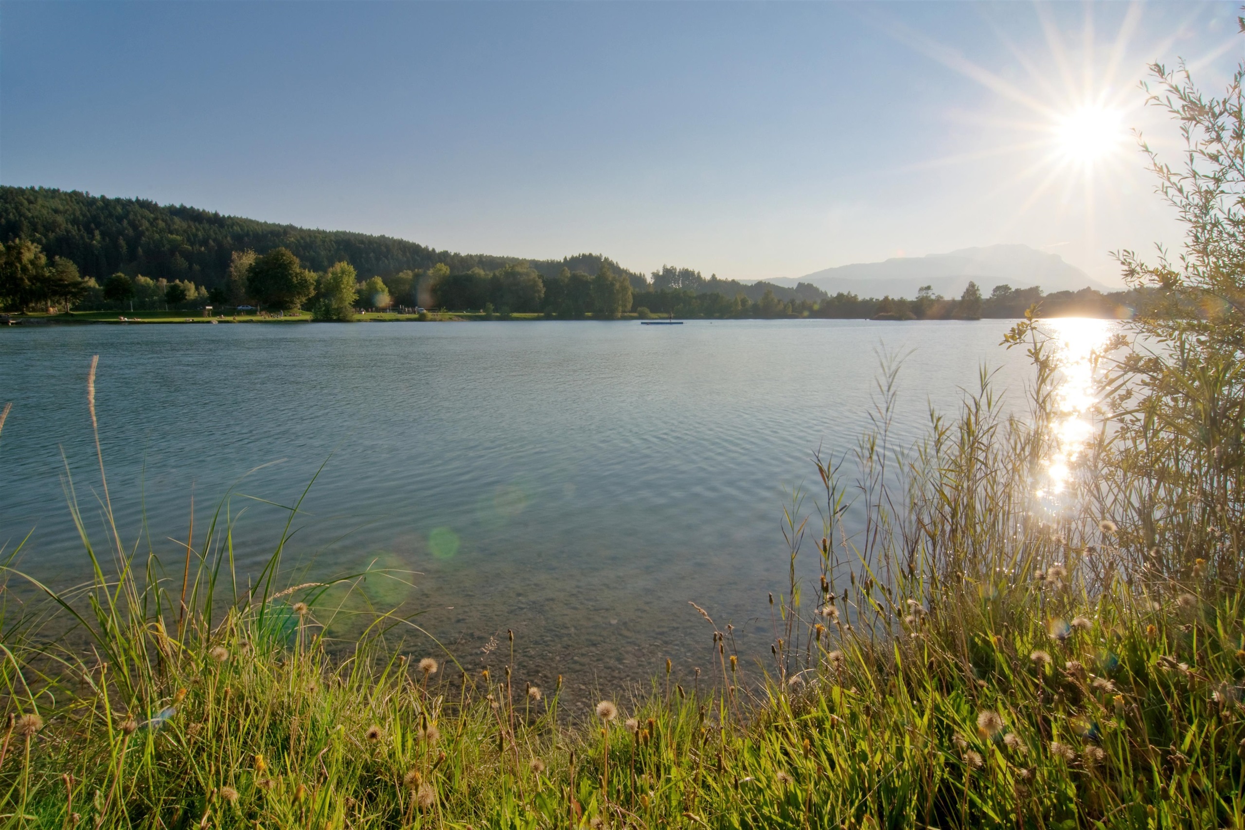








Curated by Villach Tourismus
Rosegg
The western end of the Rosental where the Drau turns toward Villach, a market village at about 480 m with a wildlife park and hedge maze on the hill above.
- 1Highlights
- 5Routes
- Featured summit · Tabor
Highlights
14 from neighbouring places
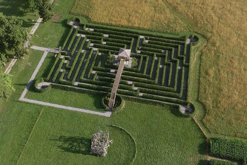
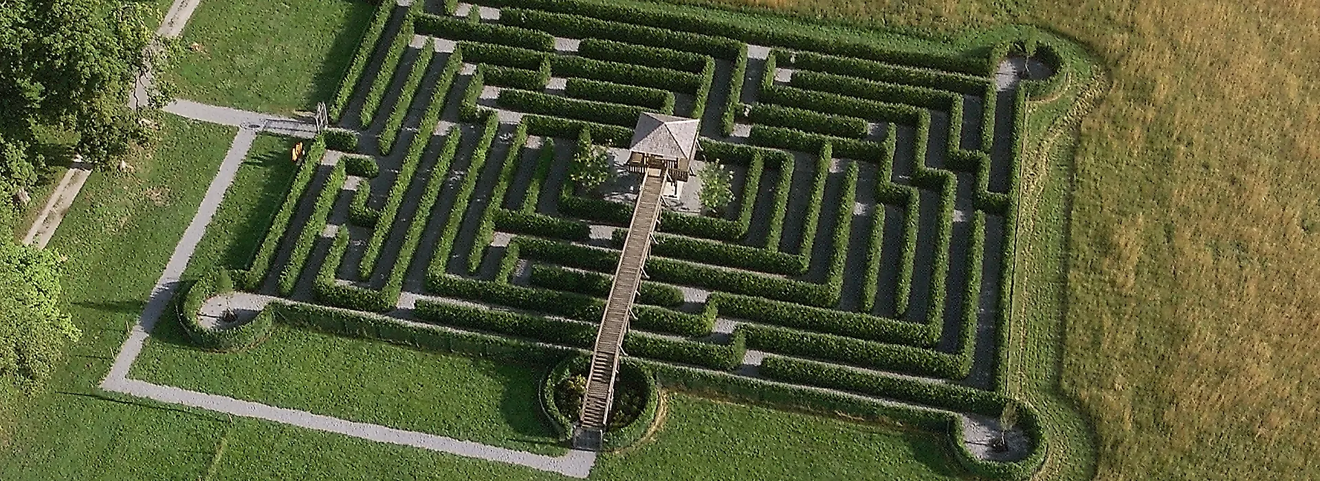
Labyrinth Rosegg
A hedge maze at Rosegg in the Rosental, laid out beside the wildlife park below Schloss Rosegg.
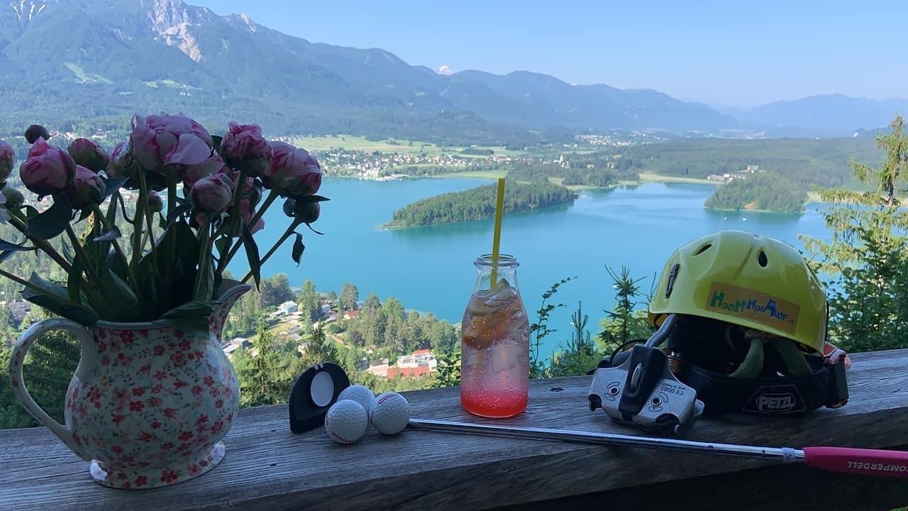
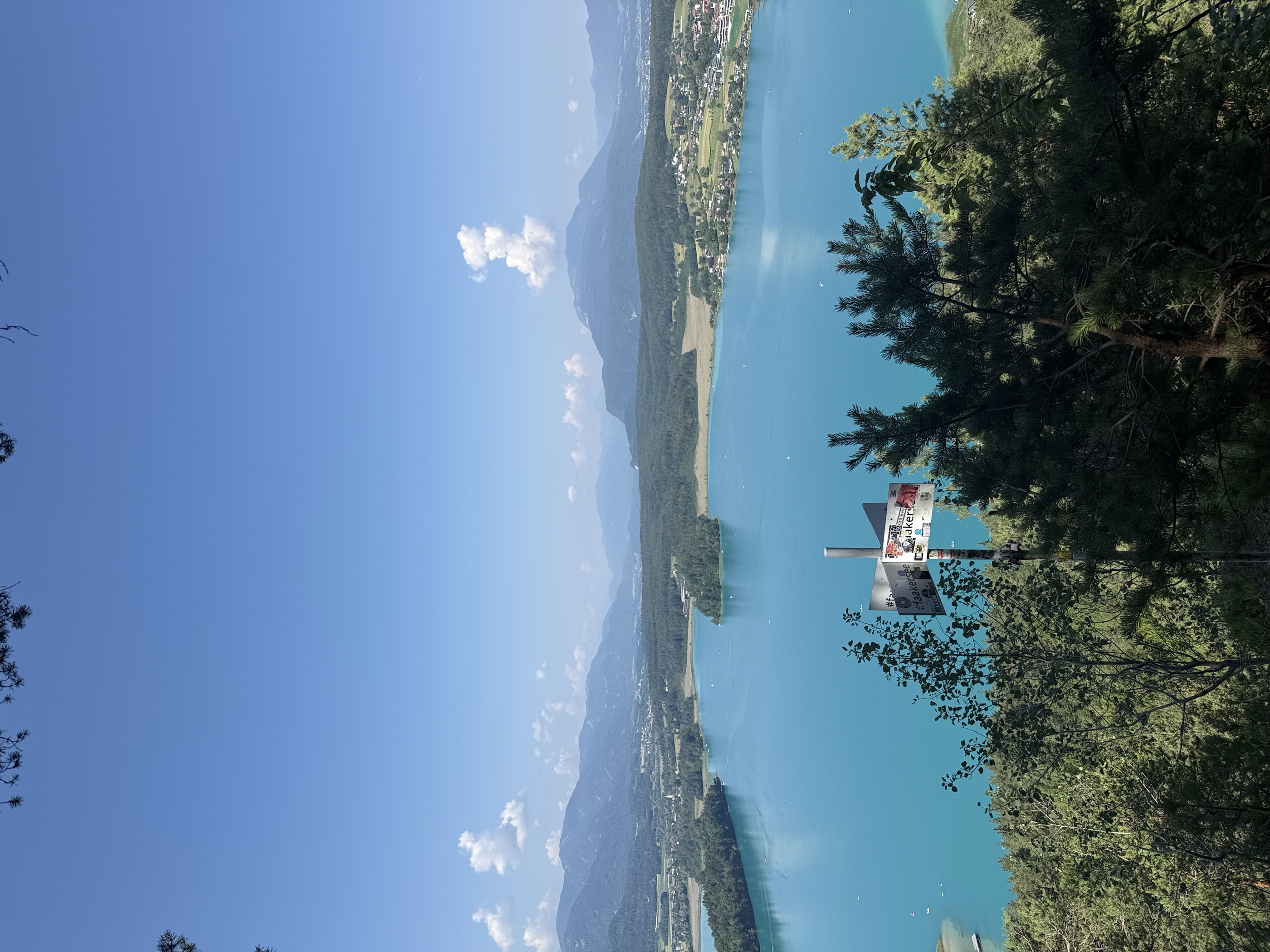
Waldseilpark Hochhinauf - Taborhöhe
3.9 km away, in Finkenstein am Faaker See
A forest rope park on the Taborhöhe above Ledenitzen, with high-ropes courses among the trees and an archery range, overlooking the Faaker See area.
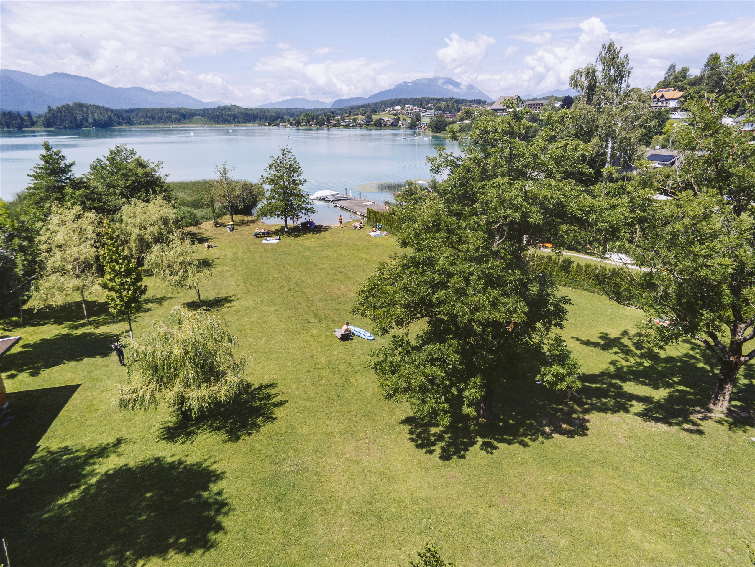
greenbeach Tschebull / Faaker See
4.4 km away, in Villach
A grassy bathing beach on the Faaker See near Egg, one of the marked swimming spots on the turquoise Carinthian lake.
Buschenschenke Ischnighof
4.9 km away, in Finkenstein am Faaker See
A farm tavern at Latschach near the Faaker See, serving home-produced hams, cheeses and cold platters in a rural Carinthian setting.
Evangelische Pfarrgemeinde Velden
5.1 km away, in Velden am Wörther See
The Protestant parish church of Velden am Wörther See, serving the town's Lutheran congregation.
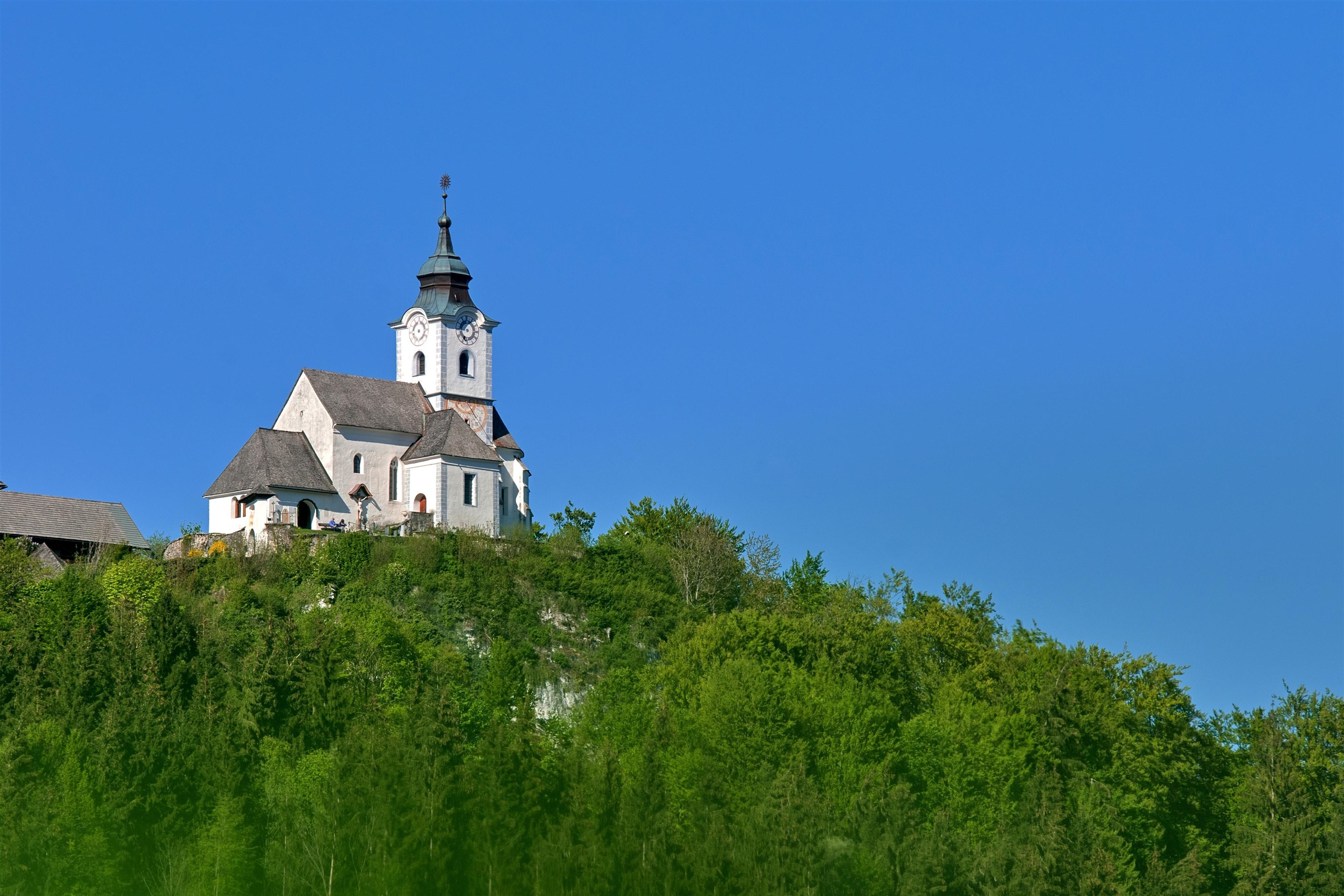
Kirche Sternberg
5.3 km away, in Wernberg
A hilltop church at Sternberg near Wernberg, with Gothic and baroque elements, a stations-of-the-cross path and a wide Carinthian view.
Lichterpark und Kissing Tree in der Engelstadt
5.6 km away, in Velden am Wörther See
A park of light installations set up for advent in Velden am Wörther See, including the illuminated Kissing Tree by the lake.
Toni´s Buschenschenke
5.7 km away, in Villach
A Buschenschank at Drobollach near the Faaker See, serving cold platters and local produce in the Carinthian farm-tavern manner.
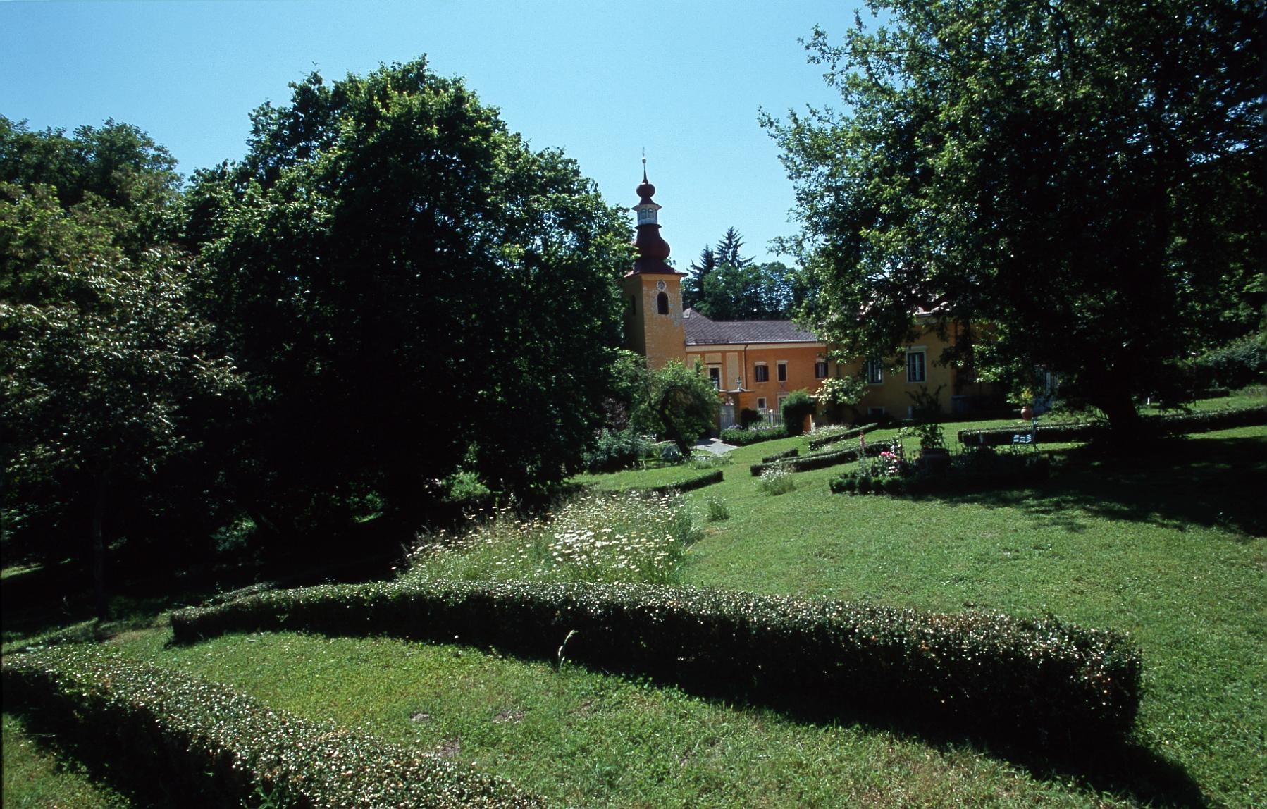
Schloss Damtschach
6.1 km away, in Wernberg
A castle with a park at Wernberg near Villach, opened for exhibitions, garden visits and cultural events in season.
Klettergarten Rosenbach
6.1 km away, in St. Jakob im Rosental
A crag with bolted routes at Rosenbach near St. Jakob im Rosental, on the northern slopes of the Karawanken.
Kleine Stiegengalerie 50
6.4 km away, in Villach
A small private gallery at Drobollach on the Faaker See showing paintings and works by regional artists.
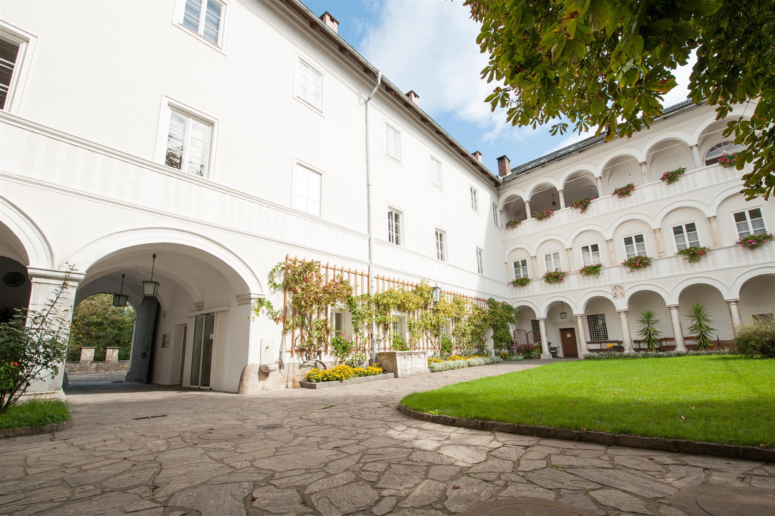
Kloster Wernberg
6.8 km away, in Wernberg
A convent in a 16th-century castle above the Drau at Wernberg near Villach, home to missionary sisters, with a church, farm shop and guided tours.
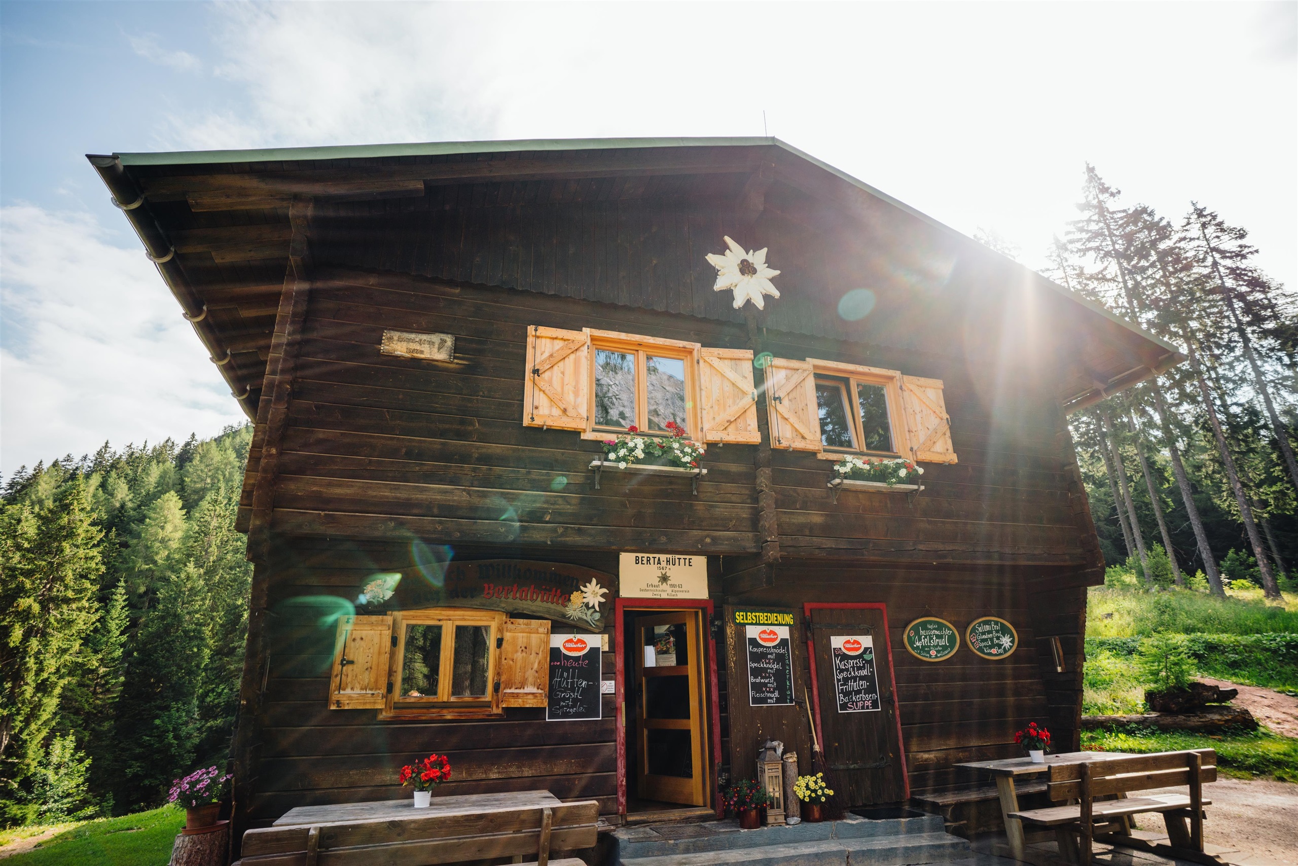
Bertahütte
6.9 km away, in Finkenstein am Faaker See
An alpine club hut below the Mittagskogel in the Karawanks above Ledenitzen, a base for the ascent and a walkers' refuge serving regional dishes.
actionbeach / Silbersee
7.2 km away, in Villach
A sport-oriented bathing beach at the Silbersee near Villach, combining swimming with beach volleyball and tennis courts.
Burgruine Finkenstein
7.5 km away, in Finkenstein am Faaker See
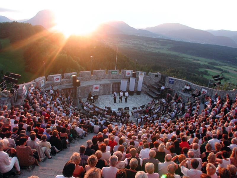
A castle ruin on a rock spur above the Faaker See, whose walls now frame an open-air arena used for summer concerts.
Nothing of this kind in Rosegg.
Routes
15 from neighbouring places
4-Gipfel-Aussichtstour
A moderate round near the Faaker See linking four low tops — Tabor, Bleiberg, Petelin and Wauberg — with the Taborhütte for a break above the lake.
- 12.4 km
- Distance
- 647 m
- Ascent
- 4 h 41 min
- Duration
- 19
- Check-ins
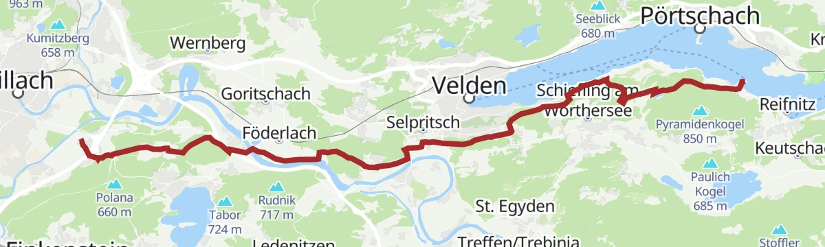
RSAT28 Marienpilgerweg 6. Etappe: Maria Wörth - Maria Gail
A long Marian pilgrim day of 28 km, roughly seven and a half hours from the lakeside church of Maria Wörth west to Maria Gail, passing the Trattnigteich near Föderlach.
- 27.7 km
- Distance
- 464 m
- Ascent
- 7 h 35 min
- Duration
- 4
- Check-ins
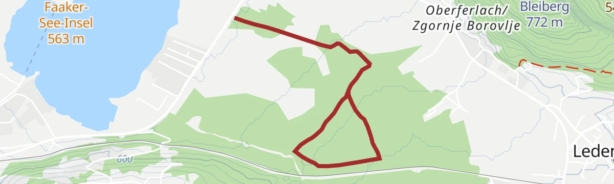
Bleiberg Trail - T51 - Trailcenter Faaker See
Under a kilometre of near-level singletrack in the woods of southern Kärnten, one section of a linked trail network near Rosegg.
- 979 m
- Distance
- 0 m
- Ascent
- 9 min
- Duration
- 2
- Check-ins
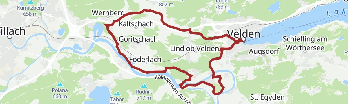
Schlösserradweg - Radweg zwischen den Schlössern Damtschach, Wernberg, Rosegg und Velden
A gentle circuit past the castle villages west of the Wörthersee, starting at the lakeside promenade and touching the Föderlach wetland.
- 29.5 km
- Distance
- 230 m
- Ascent
- 2 h 50 min
- Duration
- 11
- Check-ins
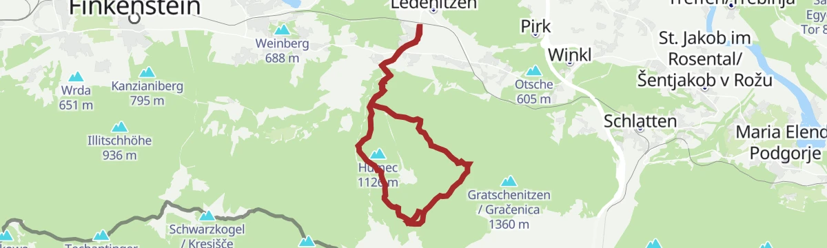
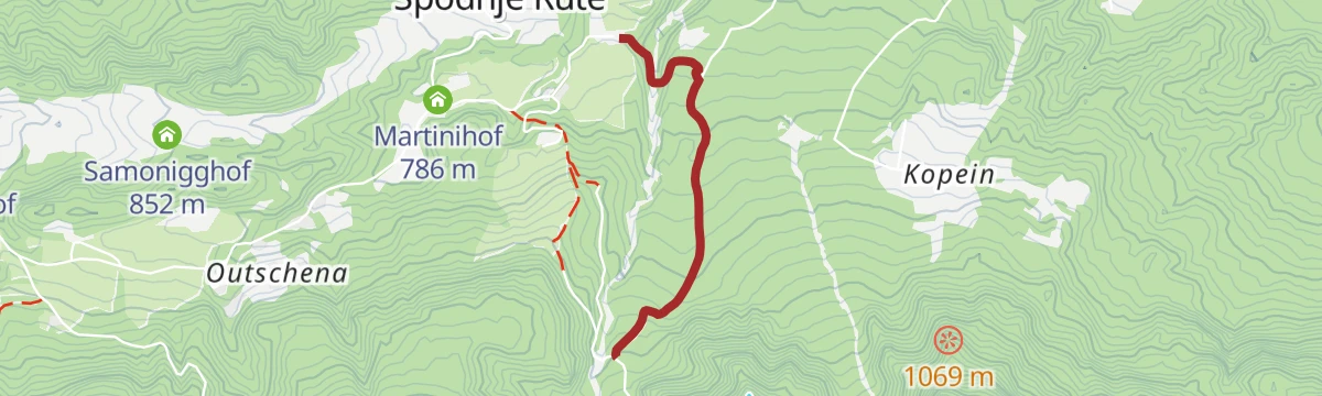
Jakobsweg Kärnten 6. Etappe: St. Jakob im Rosental - Villach
A 27 km pilgrim stage reckoned at seven hours, leading out of the Rosental from St. Jakob to Villach with around 700 m of climbing.
- 26.7 km
- Distance
- 535 m
- Ascent
- 7 h 36 min
- Duration
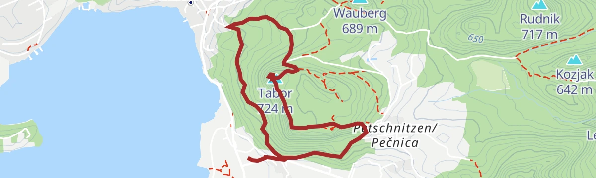
Tabor Rundweg
4.1 km away, in Finkenstein am Faaker See
A 4 km loop up onto the Tabor above the Faaker See, with a hut at the top and a view over the water that works well toward sunset.
- 4.2 km
- Distance
- 178 m
- Ascent
- 1 h 26 min
- Duration
- 15
- Check-ins
Dobrova Tour - Nr. 21
6 km away, in Finkenstein am Faaker See
A forest-road round of about 14 km on the wooded Dobrova above the Faaker See, with only moderate climbing.
- 14.4 km
- Distance
- 223 m
- Ascent
- 1 h 30 min
- Duration
Mittagskogel - Normalweg
6.1 km away, in Finkenstein am Faaker See
A demanding alpine ski ascent of the Mittagskogel from the Bertahütte, close to 1,150 m of climbing in barely four kilometres.
- 4.3 km
- Distance
- 1 146 m
- Ascent
- 56 m
- Descent
- 2 h 60 min
- Duration
- 49
- Check-ins
Ferlacher Spitze
6.1 km away, in Finkenstein am Faaker See
A short, steep ski tour above the Bertahütte in the Karawanken, packing nearly 700 m of climb into little more than two kilometres.
- 2.3 km
- Distance
- 692 m
- Ascent
- 11 m
- Descent
- 1 h 46 min
- Duration
- 24
- Check-ins
Klettersteig Rotschitza Klamm
8.1 km away, in Finkenstein am Faaker See
A gorge via ferrata in the Rotschitza Klamm, an easy line of under a kilometre that gains 290 m and looks out toward the Faaker See.
- 759 m
- Distance
- 234 m
- Ascent
- 59 min
- Duration
Transfer Bleiberg Trail T51
2.9 km away, in Finkenstein am Faaker See
A short access ride from Ledenitzen up onto the Bleiberg, the approach leg for the numbered descent that follows.
- 3.9 km
- Distance
- 167 m
- Ascent
- 27 min
- Duration
- 2
- Check-ins
ROSA 200 - Kurzdistanz
4.2 km away, in Finkenstein am Faaker See
A long mountain-bike tour from the Faaker See west past Arnoldstein and over into Friuli, taking in the Wallner Alm and the Gruber lakeside campsite.
- 75.7 km
- Distance
- 523 m
- Ascent
- 7 h 12 min
- Duration
- 10
- Check-ins
Aichwaldsee Rundweg
4.8 km away, in Finkenstein am Faaker See
A varied 7 km round that links the busy Faaker See with its quieter neighbour, the Aichwaldsee.
- 7.3 km
- Distance
- 108 m
- Ascent
- 1 h 58 min
- Duration
Roßalm - Ferlacher Spitz
2.6 km away, in Finkenstein am Faaker See
A quiet but demanding 17 km round over the Kamnica summit, with the Rossalmhütte on the climb and the Bertahütte for a stop on the way back.
- 17.6 km
- Distance
- 1 187 m
- Ascent
- 7 h 58 min
- Duration
- 24
- Check-ins
Natur Aktiv Park Faaker See
4.2 km away, in Finkenstein am Faaker See
A flat 4 km circuit through the conservation area beside the Faaker See, with colour-coded stations for endurance, agility, strength and stretching.
- 4.2 km
- Distance
- 31 m
- Ascent
- 1 h 3 min
- Duration
Moorrunde Faakersee
6.4 km away, in Finkenstein am Faaker See
A nearly flat circuit over the moorland flats around the lake, starting from the tourist office in Faak am See.
- 11.2 km
- Distance
- 84 m
- Ascent
- 1 h 4 min
- Duration
- 2
- Check-ins
Mittagskogel - Westflanke
7.2 km away, in Finkenstein am Faaker See
A classic spring ski line on the west flank of the Mittagskogel, starting near the old customs hut and gaining over 1,250 m.
- 11.4 km
- Distance
- 1 276 m
- Ascent
- 1 273 m
- Descent
- 4 h 43 min
- Duration
- 37
- Check-ins
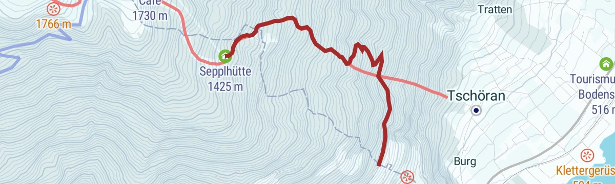
Gerlitzen - Seppl Hütte
11.6 km away, in Steindorf am Ossiacher See
A technically simple ski tour from Bodensdorf up to the sunny Sepplhütte, just under 600 m of climbing.
- 2.8 km
- Distance
- 601 m
- Ascent
- 30 m
- Descent
- 1 h 38 min
- Duration
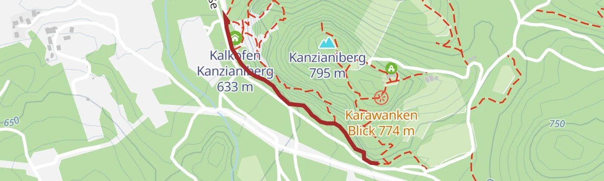
Klettergarten Kanzianiberg
9.5 km away, in Finkenstein am Faaker See
A short approach to the climbing crags on the Kanzianiberg near the Faaker See, passing the old lime kiln at their foot.
- 666 m
- Distance
- 68 m
- Ascent
- 26 min
- Duration
- 2
- Check-ins
Transfer Ischnig Trail - T21
4.9 km away, in Finkenstein am Faaker See
A short uphill transfer past the Buschenschenke Ischnighof to the point where the singletrack descent begins.
- 1.8 km
- Distance
- 153 m
- Ascent
- 17 min
- Duration
- 1
- Check-ins
No routes of this kind in Rosegg yet.
The region's own picks

Featured route
4-Gipfel-Aussichtstour
A moderate round near the Faaker See linking four low tops — Tabor, Bleiberg, Petelin and Wauberg — with the Taborhütte for a break above the lake.
Planning a trip to Rosegg?
Everything else Carinthia has, in one place


Take Rosegg with you into the mountains
Every route on this page with 3D terrain, GPX navigation and offline maps — including the valleys with no signal.
Data sources
- Official website: visitvillach.at ↗
- Routes and highlights: Villach Tourismus, Woerthersee
- Published as open data by the tourist boards named above.
- Region summary generated from the board's own material.
