














Curated by APT Valsugana e Lagorai
Roncegno Terme
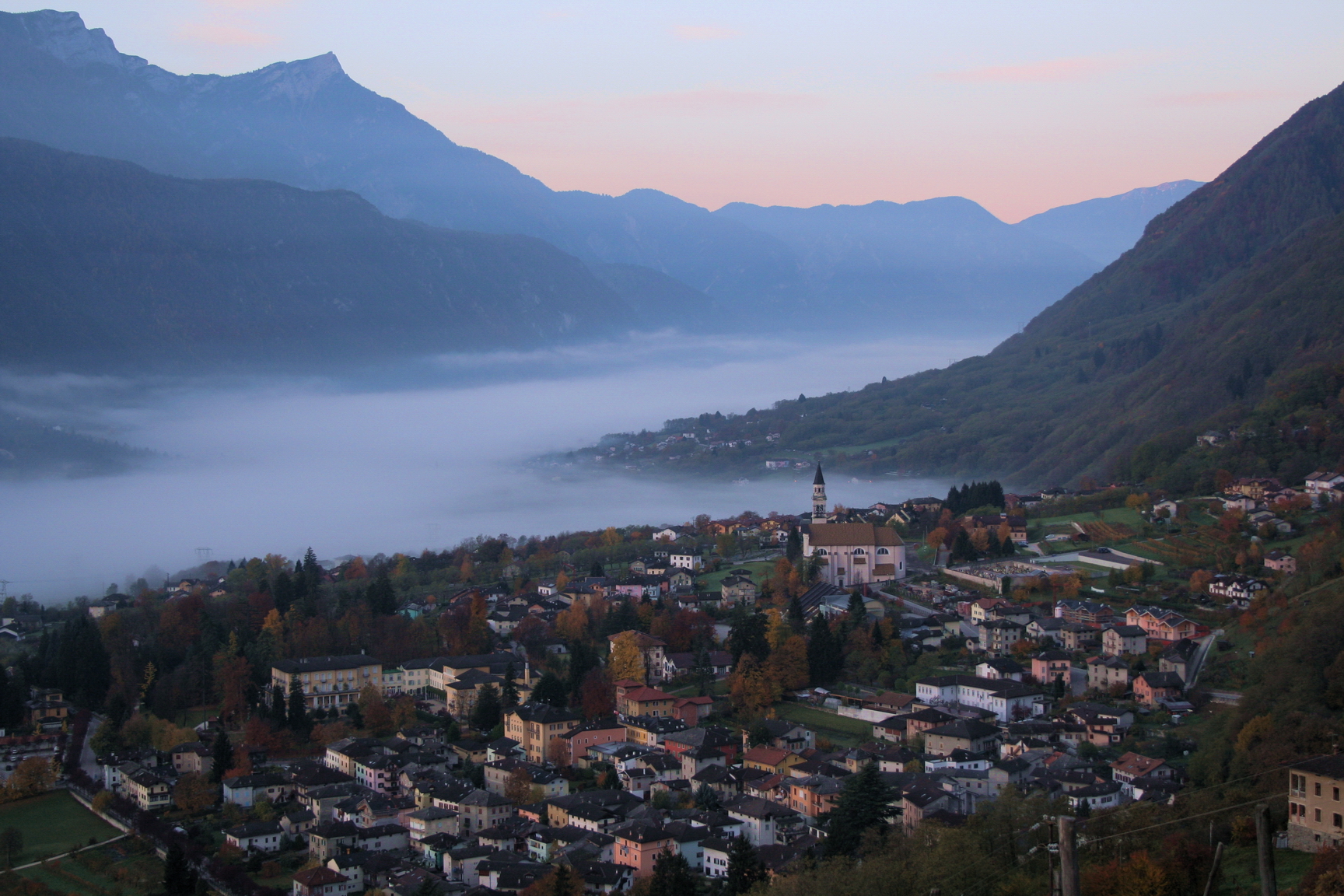
Valsugana spa village on the north side of the valley, below the Lagorai and the Panarotta.
- 1Highlights
- 32Routes
- Featured summit · Fravort
Highlights
All 1 from neighbouring places
Chiesetta di Santa Zita
11.7 km away, in Levico Terme
A small chapel above Levico Terme, on the path up towards the Panarotta.
Nothing of this kind in Roncegno Terme.
Routes
GIRO DEL LAGO DELLE PRESE E PANCHINA GIGANTE
A loop to the Lago delle Prese above Roncegno Terme, taking in one of the giant benches placed around the valley.
- 6.3 km
- Distance
- 331 m
- Ascent
- 2 h 23 min
- Duration
- 39
- Check-ins
 Rifugio Serot 1 566 m
- Malga Fravort 1 565 m
- Ristorante alle Pozze 1 433 m
 Laghetto delle Prese 1 617 m
- Malga Trenca 1 660 m
Open route APT Valsugana e LagoraiHike from Rifugio Erterle to Valico della Bassa to Monte Fravort
A climb from the Erterle hut under the east face of the Fravort, over the Valico della Bassa to the summit, facing the Cima Dodici chain.
- 6.8 km
- Distance
- 595 m
- Ascent
- 3 h 45 min
- Duration
- 95
- Check-ins
 Prennputz 2 029 m
- La Fontanella 2 037 m
 La Bassa 1 834 m
- Agriturismo Malga Masi 1 719 m
- Baita Manuela 1 424 m
- Rifugio Erterle 1 426 m
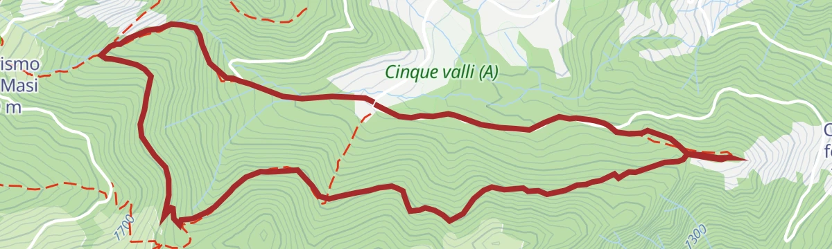
Open route APT Valsugana e LagoraiEtappe 12 Palau im Fersental/Palù del Fersina
A long stage from the town hall square in Palù del Fersina over three summits, the Fravort among them, on the ridge above the Mòcheno valley.
- 22.9 km
- Distance
- 1 310 m
- Ascent
- 10 h 48 min
- Duration
- 243
- Check-ins
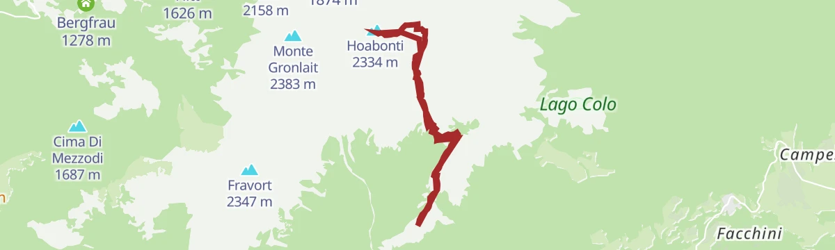
Ski mountaineering - Cima Hoabonti
A ski tour to Cima Hoabonti in the western Lagorai, with good snow on the upper slopes and some avalanche care needed after fresh falls.
- 9.4 km
- Distance
- 878 m
- Ascent
- 878 m
- Descent
- 3 h 27 min
- Duration
- 28
- Check-ins
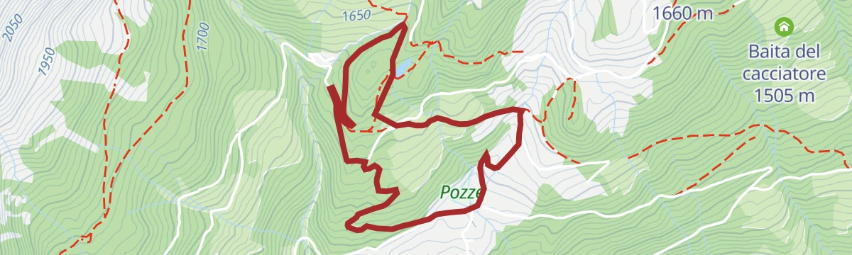
Open route APT Valsugana e LagoraiMTB - Delle Pozze Tour 2352
A high forest-road circuit under Panarotta and Fravort at the south end of the Lagorai, crossing La Bassa and calling at Rifugio Erterle.
- 21.3 km
- Distance
- 885 m
- Ascent
- 2 h 43 min
- Duration
- 99
- Check-ins
- La Bassa 1 834 m
- Maso Vecchio Vetriolo 1 497 m
- Agriturismo Malga Masi 1 719 m
- Ristorante alle Pozze 1 433 m
- Agritur Rincher 1 592 m
- Baita Manuela 1 424 m
- +5
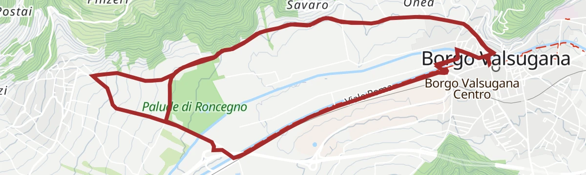
Open route APT Valsugana e LagoraiRoadbike - Evening Cup
A fast, winding road circuit at Borgo Valsugana, reworked in recent years to keep the evening race safe for a growing field.
- 14.4 km
- Distance
- 122 m
- Ascent
- 1 h 24 min
- Duration
- 6
- Check-ins
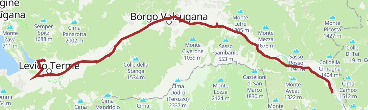
Open route APT Valsugana e LagoraiPasso Manghen by way of Val Calamento
A very long day from Levico Terme on the Brenta cycle path, then the one big road climb to the pass at 2,047 m and the Lago di Cadinel.
- 112.0 km
- Distance
- 2 690 m
- Ascent
- 12 h 28 min
- Duration
- 129
- Check-ins
- Baita Manghen Hütte 2 019 m
- Lago di Cadinel 2 014 m
- Passo Manghen 2 047 m
- Parc Hotel Du Lac 454 m
- Sella di Vignola 557 m
- Visitvalsugana 491 m
- +22
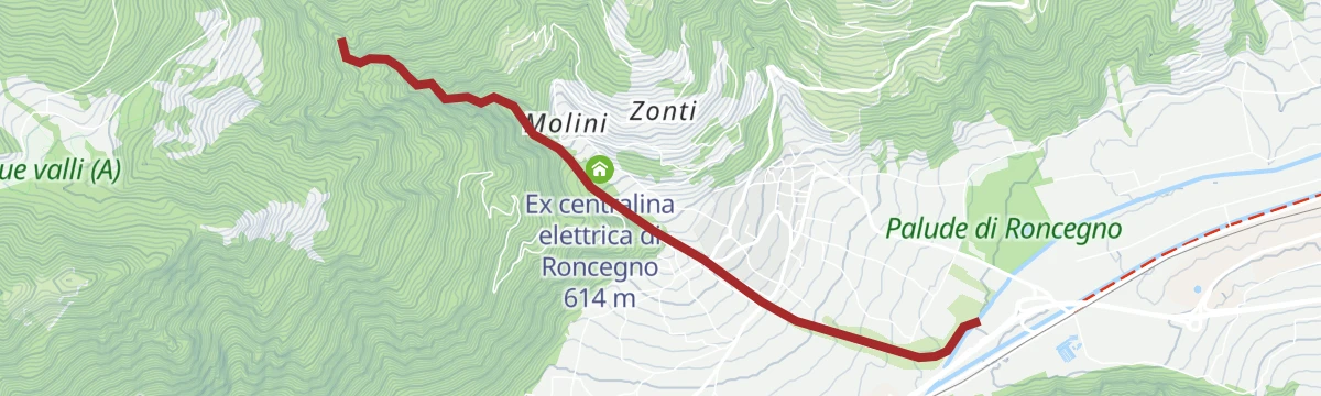
Open route APT Valsugana e LagoraiWalk - the Laghetto delle Prese
An easy walk up a gravel road through the woods above Roncegno to the small Laghetto delle Prese.
- 3.7 km
- Distance
- 216 m
- Ascent
- 1 h 31 min
- Duration
- 20
- Check-ins
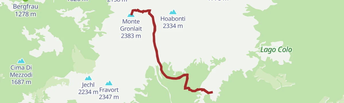
Open route APT Valsugana e LagoraiHike from Rifugio Serot to Passo della Portela, Monte Gronlait
A climb from the Serot hut under the Fravort and Gronlait, over the Passo della Portela to the top of Monte Gronlait in the Lagorai.
- 9.5 km
- Distance
- 818 m
- Ascent
- 5 h 12 min
- Duration
- 46
- Check-ins
- Monte Gronlait 2 383 m
- Rifugio Serot 1 566 m
- Malga Fravort 1 565 m
- Passo della Portela 2 152 m
- Baito della Portela 1 992 m
Open route APT Valsugana e LagoraiTappa 12 Palau im Fersental/Palù del Fersina
A long ridge stage above Palù del Fersina, starting at the village fountain and taking in three summits on the edge of the Lagorai.
- 22.9 km
- Distance
- 1 310 m
- Ascent
- 10 h 48 min
- Duration
- 243
- Check-ins
MTB - Tour of the Val di Sella 2344
A mountain-bike loop from Borgo Valsugana through Olle and up the Val di Sella, passing Malga Costa and Arte Sella, with a dirt-road descent to Barco.
- 30.1 km
- Distance
- 740 m
- Ascent
- 3 h 22 min
- Duration
- 17
- Check-ins
- Malga Costa 991 m
- La Casina 678 m
- Lagorai Valsugana Orientale 383 m
- APT Valsugana 386 m
- Sez A.N.A. Trento - Gruppo Borgo 959 m
- Bicigrill Energy Bar 435 m
Open route APT Valsugana e LagoraiGiro del Manghen
A long road loop from the Piné plateau up to Passo Manghen, a climb used by the Giro d'Italia, dropping back over the Sella di Vignola.
- 106.5 km
- Distance
- 2 824 m
- Ascent
- 12 h 7 min
- Duration
- 124
- Check-ins
- Dos de le Morf 956 m
- Baita Manghen Hütte 2 019 m
- Lago di Cadinel 2 014 m
- Passo Manghen 2 047 m
- Parc Hotel Du Lac 454 m
- Sella di Vignola 557 m
- +20
Open route APT TrentoWalk - Lago Grande
An easy walk over alpine pasture above Roncegno to the small Lago Grande in the western Lagorai.
- 4.1 km
- Distance
- 133 m
- Ascent
- 1 h 17 min
- Duration
- 15
- Check-ins
Open route APT Valsugana e LagoraiFiume Brenta B
A nearly level riverside walk along the Brenta through Borgo Valsugana, on the floor of the Valsugana valley.
- 10.7 km
- Distance
- 44 m
- Ascent
- 2 h 34 min
- Duration
- 6
- Check-ins
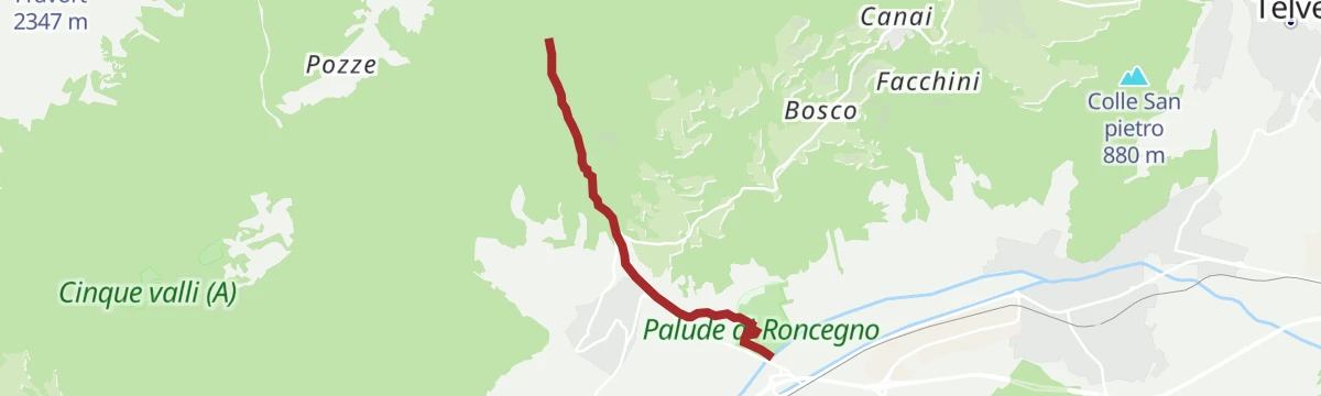
Open route Trentino FishingTrekking - Monte Fravort
A long climb to Monte Fravort above Pergine Valsugana, the high point of the Panarotta ridge in the western Lagorai.
- 17.6 km
- Distance
- 1 009 m
- Ascent
- 7 h 4 min
- Duration
- 161
- Check-ins
- Fravort 2 347 m
- Prennputz 2 029 m
- La Fontanella 2 037 m
- Monte Gronlait 2 383 m
- Cima Rociondola 2 312 m
- La Bassa 1 834 m
- +4
Open route APT Valsugana e LagoraieBike - Val di Sella
An e-bike ride to Borgo Valsugana on the cycle path, then up the side valley to Malga Costa and the Arte Sella art works, returning the same way.
- 33.4 km
- Distance
- 673 m
- Ascent
- 3 h 25 min
- Duration
- 47
- Check-ins
- Parc Hotel Du Lac 454 m
- Visitvalsugana 491 m
- Malga Costa 991 m
- Tre Faggi 845 m
- Casa Dal Trozzo 844 m
- Lagorai Valsugana Orientale 383 m
- +9
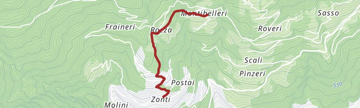
Open route APT Valsugana e LagoraiCollegamento strada Castagno: da Maso Zonti a Maso Montibelleri
A link on old paths under the ancient chestnuts of the Roncegno masi, from Maso Zonti by Smideri, Vestri and Rozza to Maso Montibelleri.
- 1.8 km
- Distance
- 196 m
- Ascent
- 57 min
- Duration
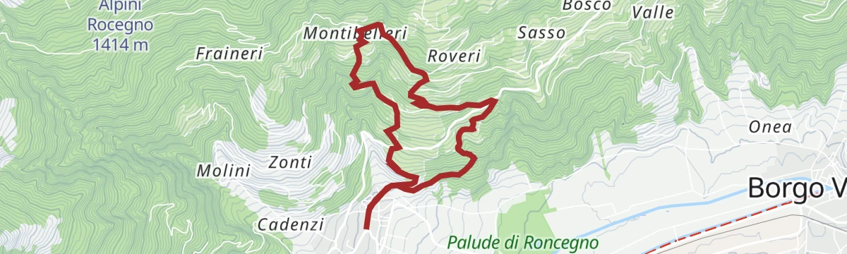
Open route APT Valsugana e LagoraiWalk - To the Santa Brigida church and the "chestnut route"
A climb from the spa village of Roncegno through old chestnut groves and hill farms to the church of Santa Brigida, high over the Valsugana.
- 6.2 km
- Distance
- 413 m
- Ascent
- 2 h 46 min
- Duration
Open route APT Valsugana e LagoraiPeace Trail 27: From Rifugio Malga Masi to Campestrini
A stage of the Peace Trail from the Malga Masi over the La Bassa pass, then level through larch woods under the Fravort and Cola summits.
- 21.0 km
- Distance
- 463 m
- Ascent
- 6 h 56 min
- Duration
- 91
- Check-ins
- La Bassa 1 834 m
- Agriturismo Malga Masi 1 719 m
- Rifugio Serot 1 566 m
- Malga Fravort 1 565 m
- Laghetto delle Prese 1 617 m
- Lago delle Carezze 1 764 m
- +1
Open route APT Valsugana e LagoraieBike - on Monte di Roncegno Terme
A long climb out of the valley to the ring of huts above Roncegno, turning at Malga Trenca before an asphalt run down through Ronchi Valsugana.
- 30.9 km
- Distance
- 1 560 m
- Ascent
- 4 h 19 min
- Duration
- 40
- Check-ins
- Rifugio Serot 1 566 m
- Malga Fravort 1 565 m
- Agritur Rincher 1 592 m
- Agritur Paradiso 1 644 m
- Baita Manuela 1 424 m
- Rifugio Erterle 1 426 m
- +1
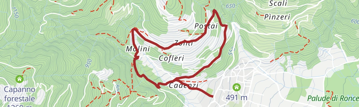
Open route APT Valsugana e LagoraiPercorso castagno Maso Molini
A chestnut-grove circuit among the western masi of Roncegno, starting from the church of Saints Peter and Paul.
- 4.4 km
- Distance
- 220 m
- Ascent
- 1 h 36 min
- Duration
Open route APT Valsugana e LagoraiRoadbike - Coppa d'Oro Grand Prix of the Sports Directors
A long road course through the Valsugana over the Sella di Vignola and past the lakeside hotels, run each year for the Allievi category.
- 87.0 km
- Distance
- 1 254 m
- Ascent
- 8 h 54 min
- Duration
- 38
- Check-ins
- Parc Hotel Du Lac 454 m
- Al Faro 453 m
- Meridiana 455 m
- Sella di Vignola 557 m
- Lagorai Valsugana Orientale 383 m
- APT Valsugana 386 m
Open route APT Valsugana e LagoraiRoncegno Terme: 5 valleys - Sant'Osvaldo Chapel - 5 Valleys Mines
A walk through spruce, fir and larch above Roncegno to the Sant'Osvaldo chapel, past a Great War battlefield and old mine workings on the Argenta.
- 5.4 km
- Distance
- 266 m
- Ascent
- 1 h 58 min
- Duration
Open route APT Valsugana e LagoraiRoadbike - Roncegno - Ronchi (Mountain of Roncegno)
A road climb from Roncegno Terme to the malghe at Pozze and Trenca, dropping to Borgo Valsugana for the return.
- 30.2 km
- Distance
- 1 295 m
- Ascent
- 3 h 54 min
- Duration
- 38
- Check-ins
- Rifugio Serot 1 566 m
- Malga Fravort 1 565 m
- Ristorante alle Pozze 1 433 m
- Agritur Paradiso 1 644 m
- Malga Trenca 1 660 m
- Baita Alpini Rocegno 1 414 m
- +1
Open route APT Valsugana e LagoraiTorrente Chiavona D
A level walk beside the Chiavona stream on the floor of the Valsugana at Roncegno.
- 3.7 km
- Distance
- 0 m
- Ascent
- 2 h 4 min
- Duration
Open route Trentino FishingeBike - Along the Claudia Augusta road
An e-bike ride down the Valsugana cycle path to the Ivano castle, then up the Chieppena towards Castello Tesino and Passo della Forcella.
- 39.9 km
- Distance
- 703 m
- Ascent
- 4 h 5 min
- Duration
- 33
- Check-ins
- Cascata del Chieppena 872 m
- Parc Hotel Du Lac 454 m
- Visitvalsugana 491 m
- Lagorai Valsugana Orientale 383 m
- APT Valsugana 386 m
- Passo della Forcella 910 m
- +7
Open route APT Valsugana e LagoraiTorrente Larganza C
A flat streamside stretch along the Larganza, which comes down from the Lagorai to the Brenta at Roncegno.
- 3.9 km
- Distance
- 0 m
- Ascent
- 1 h 41 min
- Duration
Open route Trentino FishingeBike - Brenta route
An almost flat e-bike run down the Brenta cycle path through the Valsugana villages to Tezze, passing the Laghetto Bigonda on the way.
- 39.1 km
- Distance
- 44 m
- Ascent
- 3 h 36 min
- Duration
- 25
- Check-ins
- Parc Hotel Du Lac 454 m
- Visitvalsugana 491 m
- Lagorai Valsugana Orientale 383 m
- APT Valsugana 386 m
- Pro Loco Tezze 230 m
- Bicigrill Energy Bar 435 m
- +3
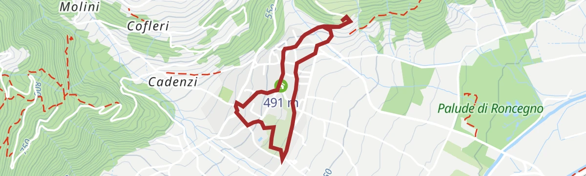
Open route APT Valsugana e LagoraiWalk - A stroll in the historical city centre of Roncegno Terme
A short cultural circuit of the old centre of Roncegno Terme, laid out as a treasure hunt of details for children to find.
- 2.5 km
- Distance
- 78 m
- Ascent
- 46 min
- Duration
Open route APT Valsugana e LagoraiThe Valsugana Cycling Path
A valley cycle path from the lake at Caldonazzo down the Brenta to Bassano del Grappa, passing the Grotte di Oliero near the end.
- 82.0 km
- Distance
- 489 m
- Ascent
- 7 h 51 min
- Duration
- 24
- Check-ins
- Al Confin 205 m
- Lagorai Valsugana Orientale 383 m
- APT Valsugana 386 m
- Grotte di Oliero €12 145 m
- Casa Sbara 217 m
- Allevamento suini 272 m
- +2
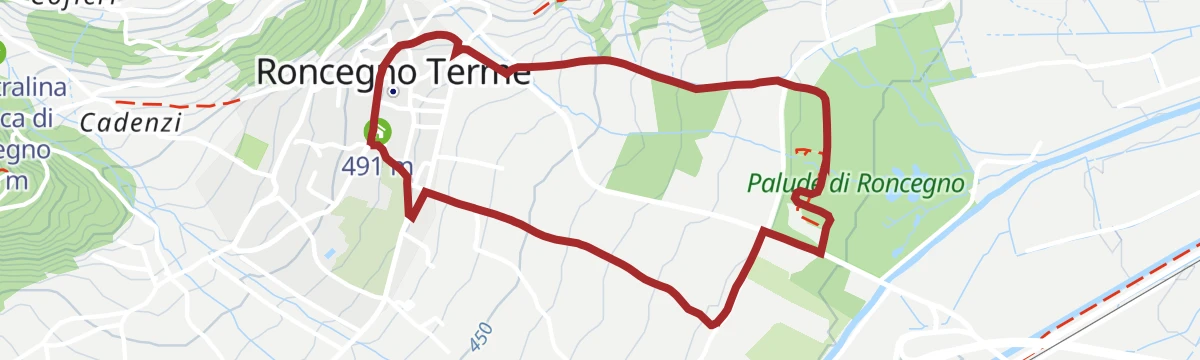
Open route APT Valsugana e LagoraiWalk - the Biotope of Roncegno
An easy circuit of the Palude di Roncegno, a marsh and riverside wood by the Rio Chiavona, reached from the Valsugana cycle path.
- 3.3 km
- Distance
- 82 m
- Ascent
- 58 min
- Duration
Open route APT Valsugana e LagoraiCiclovia della Valsugana
The Valsugana cycleway, named Italy's greenest in 2020, running the length of the valley from west to east.
- 69.5 km
- Distance
- 125 m
- Ascent
- 6 h 21 min
- Duration
- 10
- Check-ins
No routes of this kind in Roncegno Terme yet.
The region's own picks
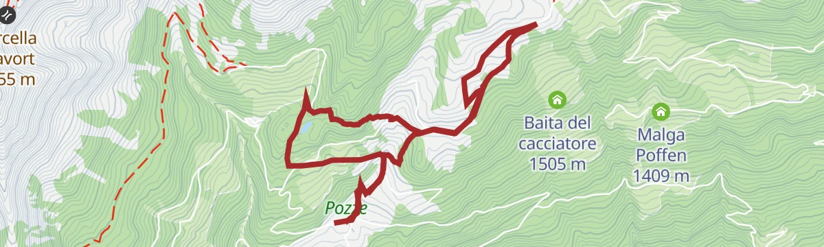
Featured route
GIRO DEL LAGO DELLE PRESE E PANCHINA GIGANTE
A loop to the Lago delle Prese above Roncegno Terme, taking in one of the giant benches placed around the valley.
Planning a trip to Roncegno Terme?
Everything else Trentino-Alto Adige/Südtirol has, in one place


Take Roncegno Terme with you into the mountains
Every route on this page with 3D terrain, GPX navigation and offline maps — including the valleys with no signal.
Data sources
- Official website: visitvalsugana.it ↗
- Routes and highlights: APT Valsugana e Lagorai, Trentino Fishing, E5 Alps Crossing, Astrotourism, APT Trento, Visit Trentino
- Published as open data by the tourist boards named above.
- Region summary generated from the board's own material.
