
 Historic site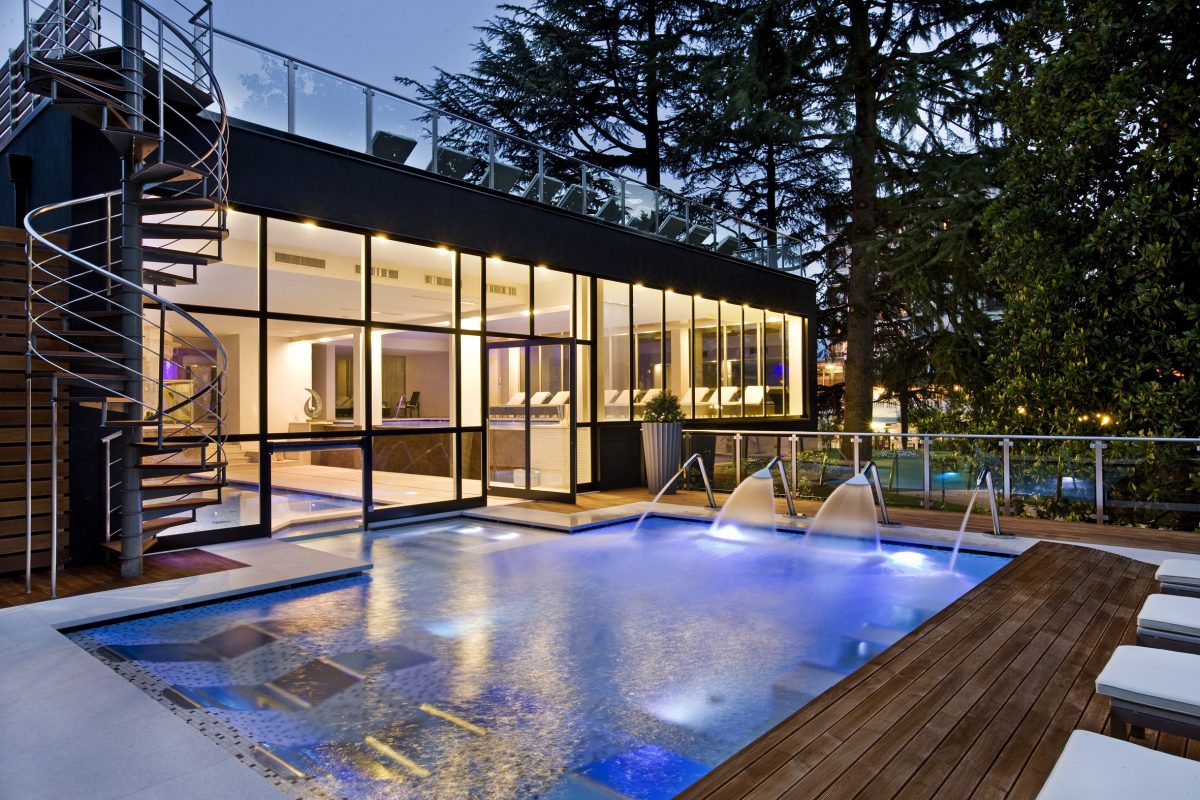











Curated by Val Seriana
Rogno
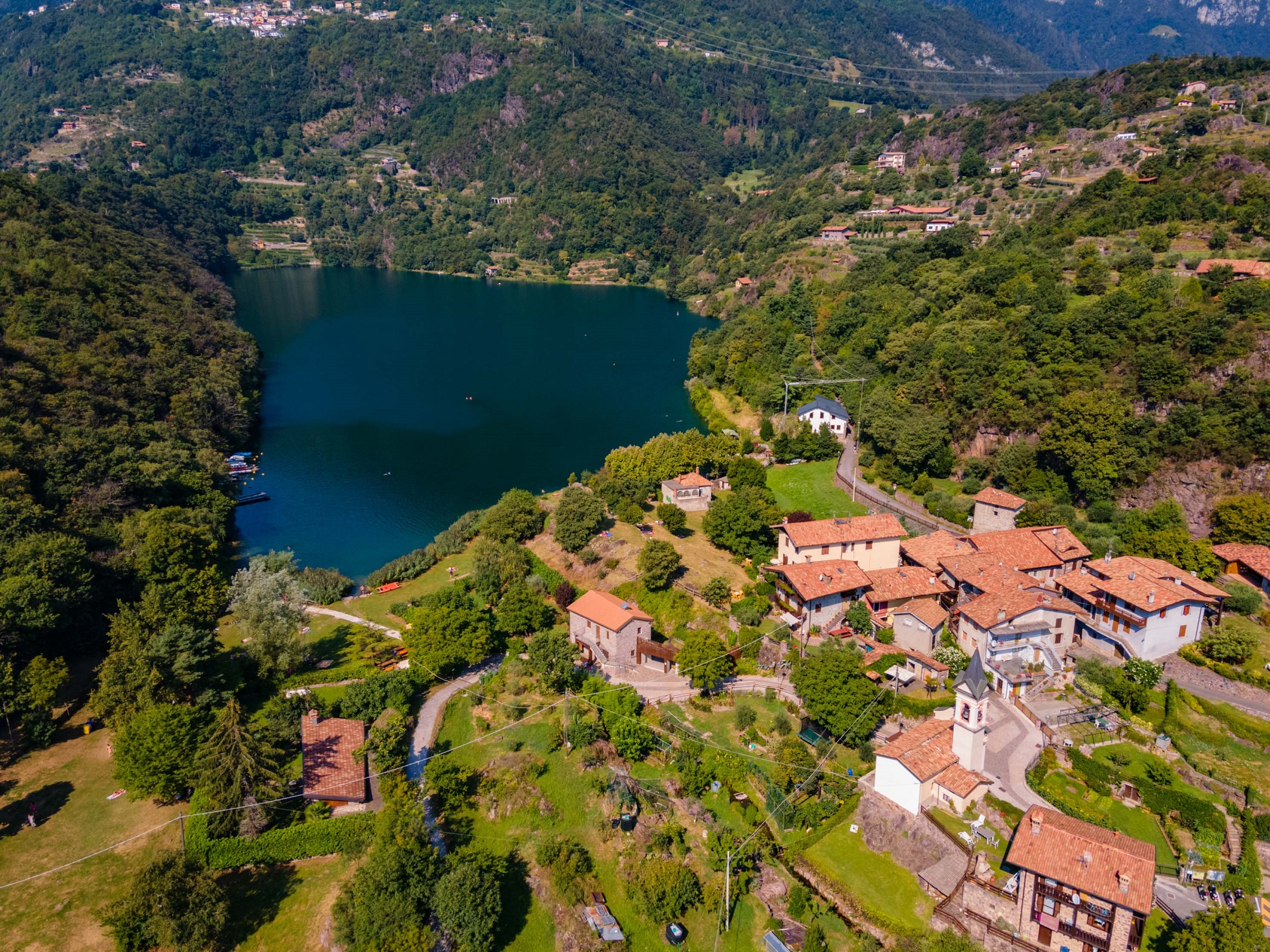
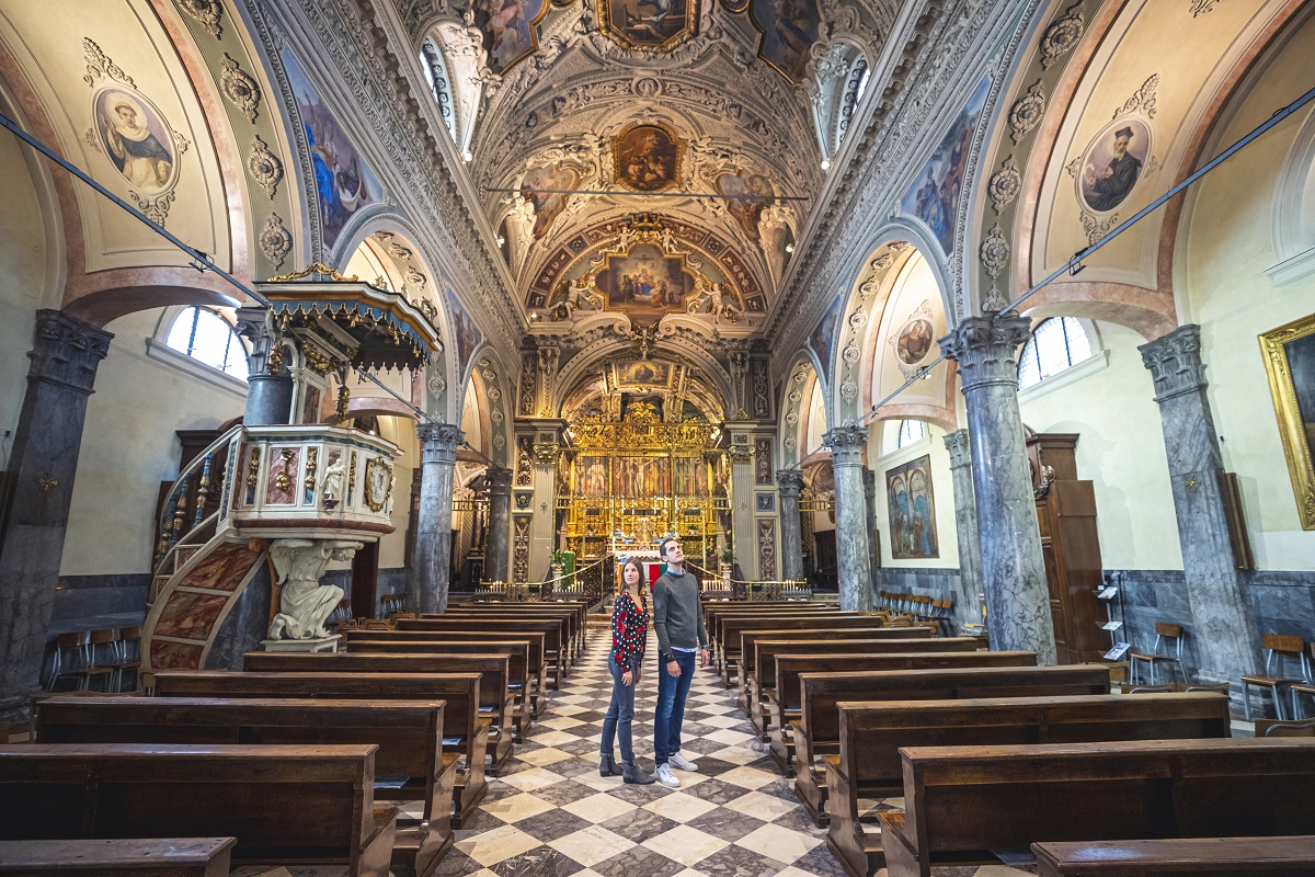
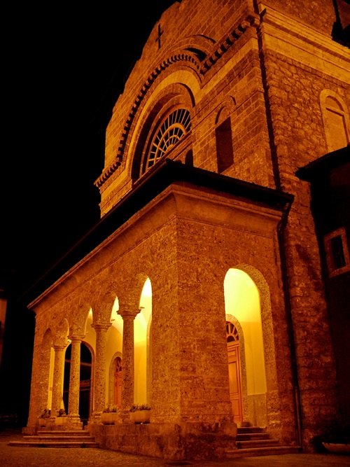
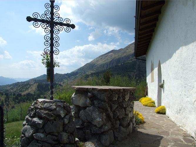
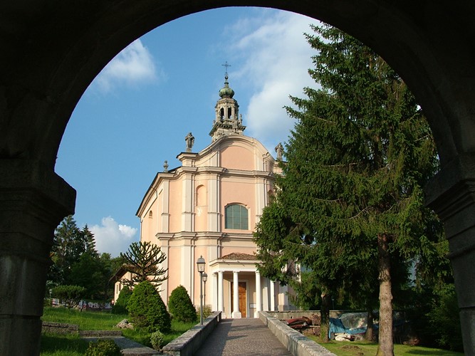
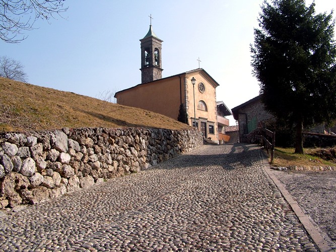
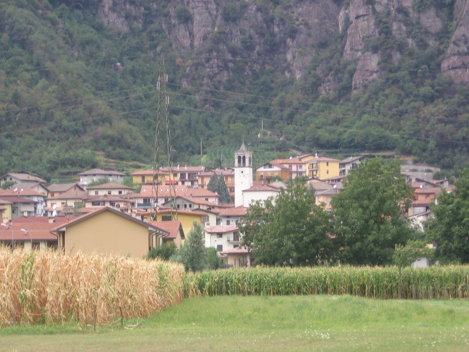
Comune where the Oglio leaves Lake Iseo, on the boundary between the Bergamasque and Camunian valleys.
Photo: Ago76 · CC BY-SA 3.0 licence
- 2Highlights
- 7Routes
- Featured summit · Monte Alto
Highlights
13 from neighbouring places
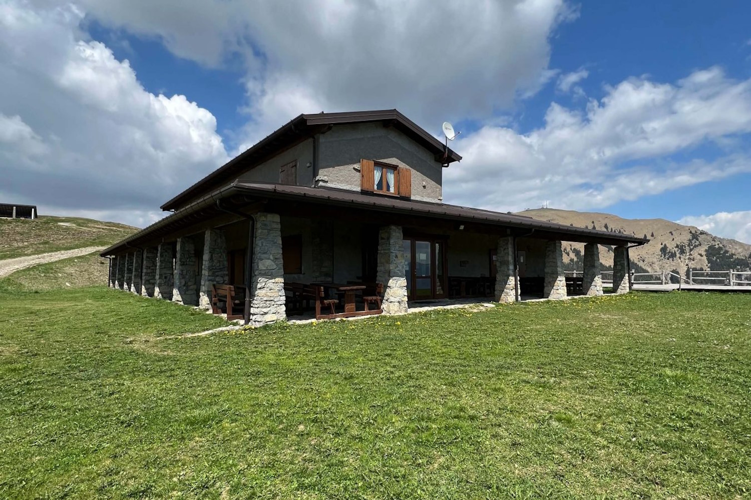
Rifugio Pian de la Palù
A hut in the wooded hills above Rogno, between the lower Val Camonica and the northern end of Lake Iseo.
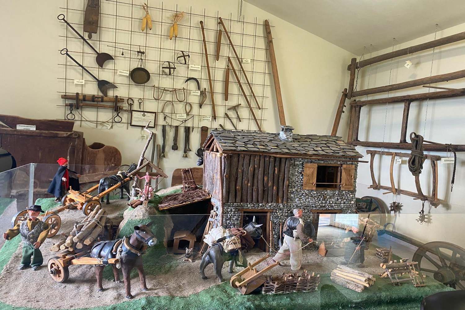
Museo Etnografico del Territorio di Rogno
An ethnographic museum at Rogno, on farming and craft life at the foot of the Val Camonica above Lake Iseo.
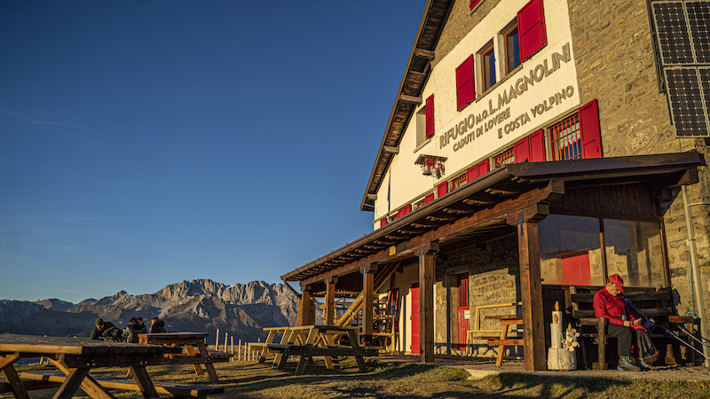
Rifugio Magnolini
2.7 km away, in Angolo Terme
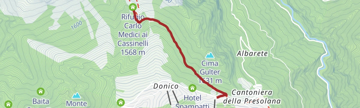
A hut at 1,612 m on the Presolana slopes above Angolo Terme, walked up from Bossico, Costa Volpino or Rogno and linked with Monte Alto.
Capo di Lago
3.4 km away, in Angolo Terme
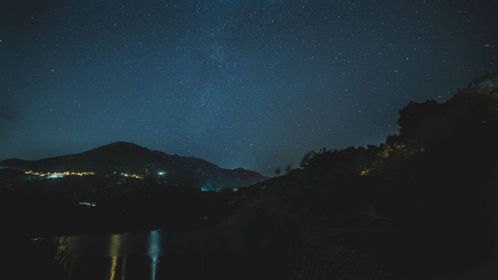
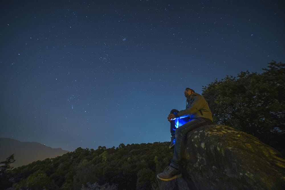
A certified dark-sky observing site at Lago Moro, between Angolo Terme and Darfo Boario Terme in the Val Camonica.
Parco del Lago Moro
3.9 km away, in Darfo Boario Terme
A small lake above Darfo in its own park, with a path around the shore.
Stargazing a Darfo Boario Terme, nel piccolo borgo Capo di Lago
3.9 km away, in Darfo Boario Terme
Night-sky watching from Capo di Lago above Darfo, on the rim of the Lago Moro basin.
Boario und die thermen
6.1 km away, in Darfo Boario Terme
The Boario spa in the lower Camonica valley, its four springs set in a wooded park.
Chiesetta dell’Oratorio o dei Morti
6.6 km away, in Darfo Boario Terme
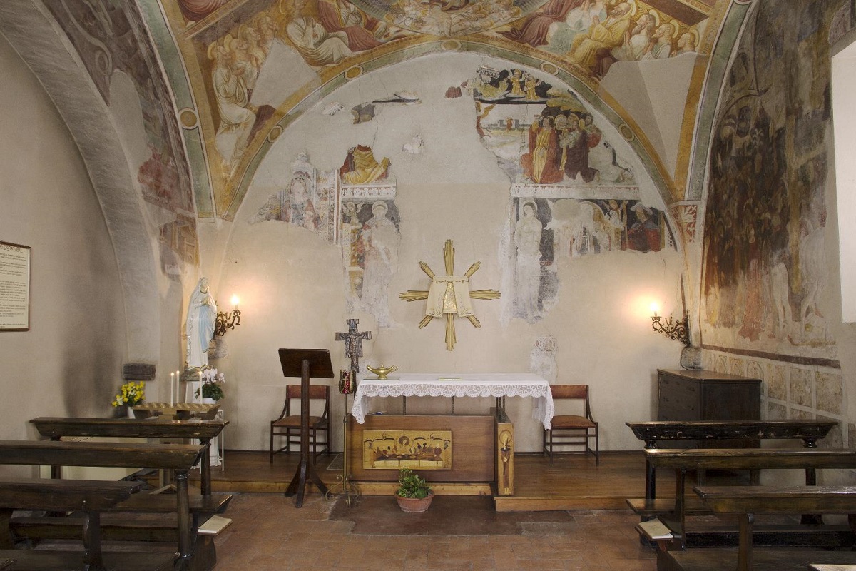
A small oratory at Darfo, painted inside with a dance of death.
Il Santuario di Lantana
7 km away, in Castione della Presolana
A pilgrimage church at Lantana above Castione della Presolana, kept for the miracles credited to the Virgin there.
Rifugio del Risol
7.3 km away, in Castione della Presolana
A hut on the Risol pastures above Castione della Presolana, below the Presolana's south face.
Chiesa parrocchiale della Natività di Maria Vergine a Bratto
8.1 km away, in Castione della Presolana
The parish church of the Nativity of Mary at Castione della Presolana.
Chiesa di San Rocco
8.5 km away, in Castione della Presolana
The church of San Rocco at Castione della Presolana, in the Val Seriana below the Presolana.
La valle dei mulini e la chiesa di San Péder (San Pietro)
8.5 km away, in Castione della Presolana
The mill valley below Castione della Presolana and its church of San Peter, on the old paths to Rusio.
Chiesa parrocchiale di S. Alessandro Martire
8.9 km away, in Castione della Presolana
The parish church of Sant'Alessandro at Castione della Presolana, below the Presolana massif.
Rusio e la chiesa di San Giacomo
9 km away, in Castione della Presolana
The hamlet of Rusio above Castione della Presolana, with its church of San Giacomo.
Nothing of this kind in Rogno.
Routes
13 from neighbouring places
Panchina Gigante di Rogno
A very short climb above Rogno at the south end of Lake Iseo to one of the giant benches.
- 721 m
- Distance
- 74 m
- Ascent
- 20 min
- Duration
- 1
- Check-ins
Alle baite e praterie del Monte Alto
A walk from the Monte Pora station up dirt roads to Baita Valmezzana and the grassland of Monte Alto, where the herdsman sells his own cheese.
- 8.4 km
- Distance
- 385 m
- Ascent
- 2 h 56 min
- Duration
- 155
- Check-ins
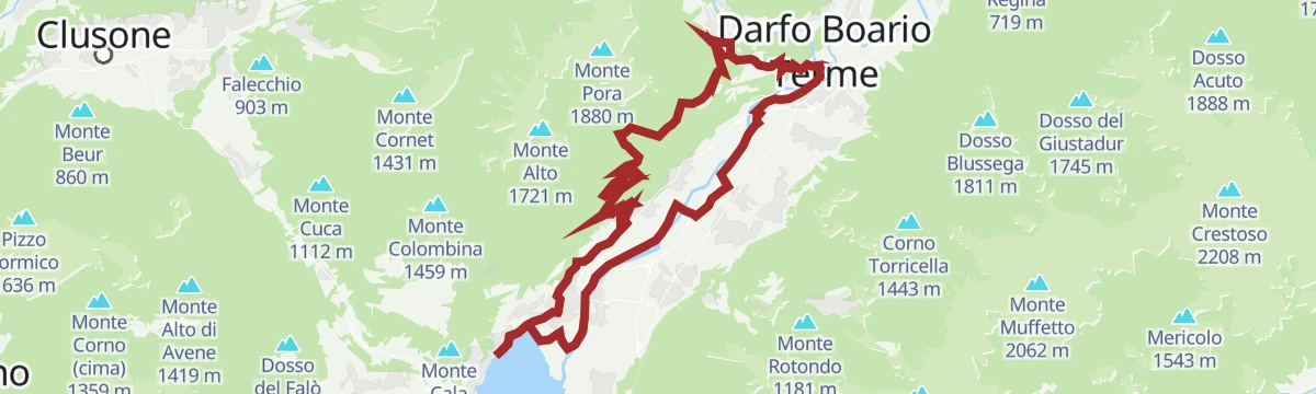
Trekking da Rogno al Monte Alto e Pian del Termen
A long climb from Rogno at the foot of the Camonica valley to Monte Alto and the pastures of Pian del Termen.
- 13.4 km
- Distance
- 986 m
- Ascent
- 6 h 27 min
- Duration
- 123
- Check-ins
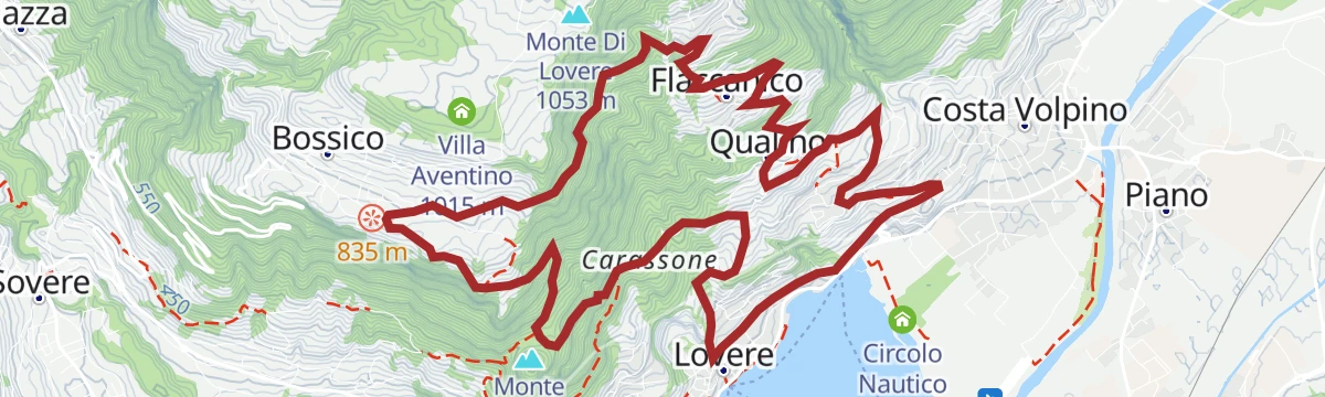
MTB Costa Volpino
A hilly loop starting from the tourist office on the Lovere waterfront, at the northern end of Lago d'Iseo, with a long climb inland.
- 38.9 km
- Distance
- 725 m
- Ascent
- 4 h 8 min
- Duration
- 32
- Check-ins
La Panchina Gigante di Chris Bangle a Rogno
A short walk above Rogno to one of Chris Bangle's giant benches, set on a picnic terrace over the Camonica valley.
- 746 m
- Distance
- 82 m
- Ascent
- 21 min
- Duration
- 1
- Check-ins
In Val Seriana ai Rif. Magnolini e Pian de la Palù
An open route across the Monte Pora meadows beside idle ski lifts to the Magnolini and Pian de la Palù huts, facing the Presolana.
- 11.4 km
- Distance
- 441 m
- Ascent
- 3 h 45 min
- Duration
- 154
- Check-ins
MTB Costa Volpino - Lake Moro
A climb from the head of Lake Iseo at Costa Volpino up to the Lago Moro above Darfo.
- 36.5 km
- Distance
- 720 m
- Ascent
- 3 h 55 min
- Duration
- 1
- Check-ins
Open route VisitlakeiseoMTB loop route Lovere - Bossico - Ceratello - Lovere
5.9 km away, in Lovere
A compact circuit above Lovere, climbing by way of Davine and the Passo delle Croci to the San Giovanni sanctuary and back.
- 14.0 km
- Distance
- 730 m
- Ascent
- 2 h
- Duration
- 7
- Check-ins
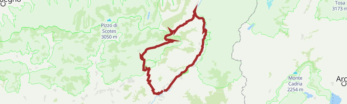
Open route VisitlakeiseoAl Passo del Vivione in Gravel
6.3 km away, in Darfo Boario Terme
A gravel loop in the Valle Camonica, starting on the Ciclovia dell'Oglio before the long climb to the refuge at 1,828 m.
- 103.0 km
- Distance
- 2 196 m
- Ascent
- 11 h 12 min
- Duration
- 128
- Check-ins
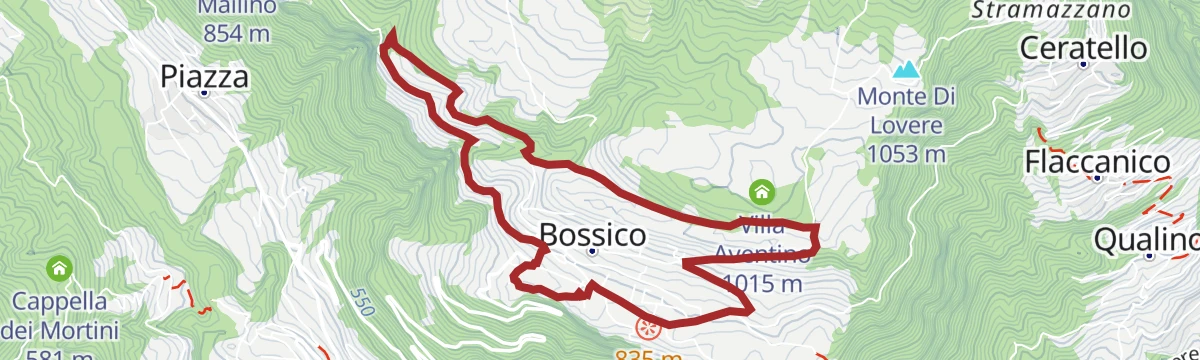
mtb PERCORSO GIALLO
7 km away, in Bossico
A short waymarked ride around Bossico, starting and finishing at the Pro Loco in the village centre, with under 300 metres of climbing.
- 6.7 km
- Distance
- 285 m
- Ascent
- 52 min
- Duration
Via ferrata from Toline to Corna Trentapassi
8.3 km away, in Pisogne
A via ferrata above the hamlet of Toline, approached on the CAI 212 path through the woods, then cabled rock to the top of the Corna Trentapassi.
- 8.1 km
- Distance
- 1 086 m
- Ascent
- 7 h 57 min
- Duration
- 144
- Check-ins
 Corna Trentapassi 1 248 m
- Anticima Est Corna Trentapassi 1 192 m
- Forcelle di Coloreto 992 m
- Anticima Nord Corna Trentapassi 1 175 m
 Toline 194 m
 Forcella Occidentale Trentapassi 964 m
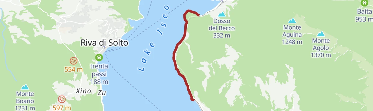
Open route VisitlakeiseoWalk on the cycle-pedestrian path between Vello and Toline
11.8 km away, in Marone
A level walking and cycling route at the water's edge, ending at the Punta delle Croci Bresciane with the Castro gorge opposite.
- 3.8 km
- Distance
- 123 m
- Ascent
- 28 min
- Duration
Open route VisitlakeiseoVia Ferrata Corna delle Capre
12 km away, in Zone
A ferrata reached from Cislano di Zone by the mule track towards Croce di Marone, then the birdcatcher's path CAI 230 to the foot of the cliff.
- 10.1 km
- Distance
- 647 m
- Ascent
- 5 h 41 min
- Duration
- 2
- Check-ins
Open route VisitlakeiseoDa Colere alla Malga Polzone
13.3 km away, in Colere
A short ski-touring line from Colere up to Malga Polzone, laid out for beginners and keeping clear of the pisted runs.
- 2.3 km
- Distance
- 482 m
- Ascent
- 0 m
- Descent
- 1 h 19 min
- Duration
- 80
- Check-ins
Dal Rifugio Magnolini al Rifugio Olmo passando per la Grotta dei Pagani L’alba sulle Orobie e il richiamo dell’ignoto
3.3 km away, in Costa Volpino
The second leg of the Percorso Rosso in the Orobie, linking two refuges by way of the Grotta dei Pagani and the Passo di Pozzera.
- 19.8 km
- Distance
- 1 567 m
- Ascent
- 9 h 44 min
- Duration
- 302
- Check-ins
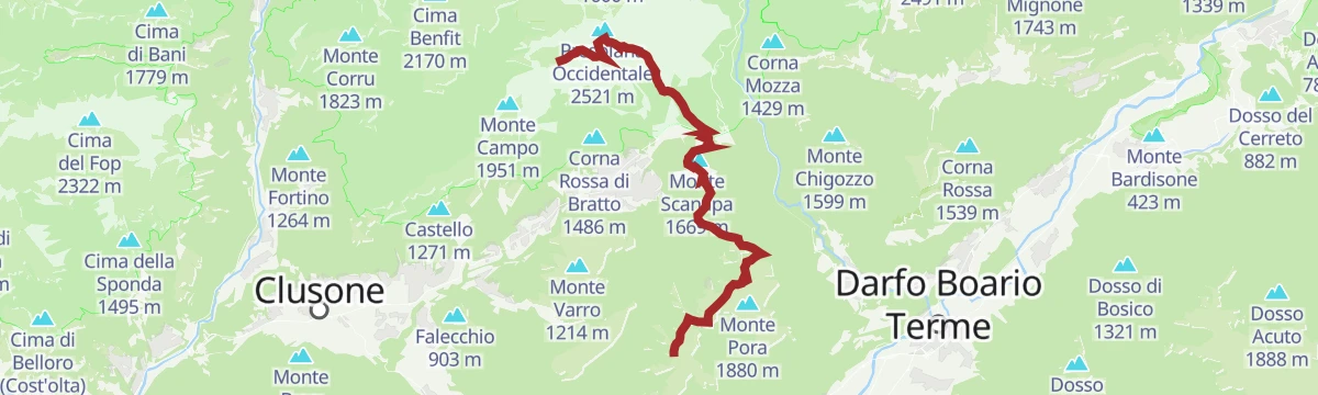
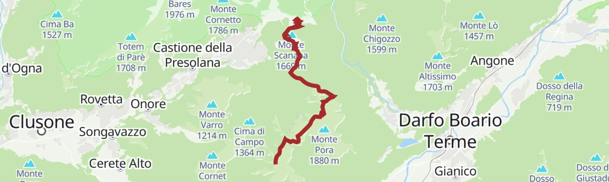
Dal Rifugio Magnolini al Passo della Presolana Il cuore delle Orobie tra creste panoramiche e leggende di montagna
3.3 km away, in Costa Volpino
The third leg of the Percorso Verde, running along open crests past Malga Scanapà and the Rifugio May, high above Castione.
- 12.2 km
- Distance
- 565 m
- Ascent
- 4 h 50 min
- Duration
- 117
- Check-ins
Sentiero per tutti
8 km away, in Castione della Presolana
A short accessible loop above Castione della Presolana, with tactile maps and benches placed along the way.
- 2.4 km
- Distance
- 267 m
- Ascent
- 1 h 7 min
- Duration
- 113
- Check-ins
Via del Latte in Mountain Bike
8.7 km away, in Castione della Presolana
A climb from Castione della Presolana through woodland and open pasture to the dairy huts of Malga di Campo and Malga Pozzetto below the Corna Cava.
- 21.1 km
- Distance
- 937 m
- Ascent
- 2 h 46 min
- Duration
- 194
- Check-ins
Percorso ad anello per MTB Lovere – Bossico – Ceratello – Lovere
5.9 km away, in Lovere
A ring route from Lovere up to Bossico and Ceratello, crossing the Passo delle Croci at 560 m before dropping back to the lake.
- 14.0 km
- Distance
- 715 m
- Ascent
- 1 h 58 min
- Duration
- 7
- Check-ins
Riserva del Giovetto in e-bike
13.2 km away, in Borno
An e-bike climb out of Borno through the protected woods of Paline to the Croce di Salven and on up to the Rifugio San Fermo.
- 29.9 km
- Distance
- 1 857 m
- Ascent
- 4 h 50 min
- Duration
- 107
- Check-ins
No routes of this kind in Rogno yet.
The region's own picks
Featured route
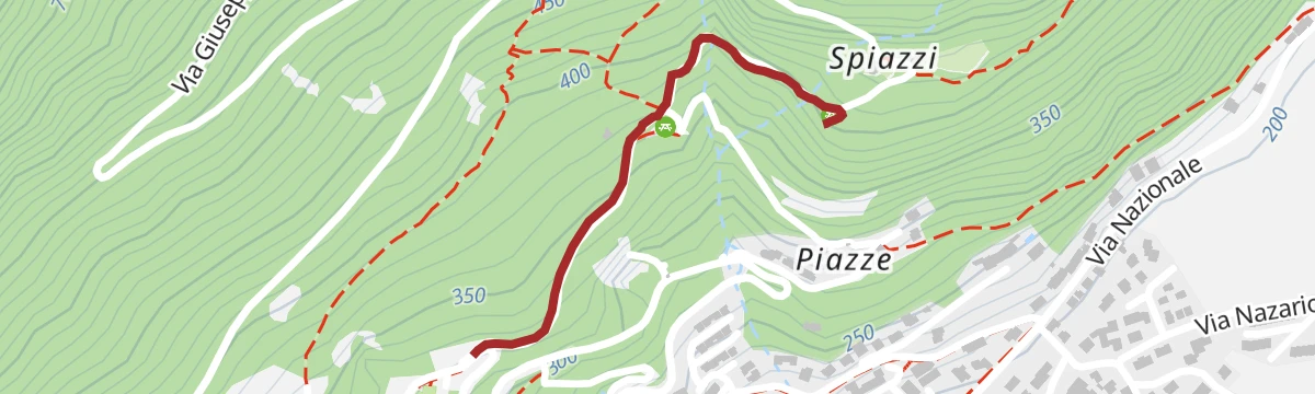
Panchina Gigante di Rogno
A very short climb above Rogno at the south end of Lake Iseo to one of the giant benches.
Planning a trip to Rogno?
Everything else Lombardy has, in one place


Take Rogno with you into the mountains
Every route on this page with 3D terrain, GPX navigation and offline maps — including the valleys with no signal.
Data sources
- Official website: visitlakeiseo.info ↗
- Routes and highlights: Val Seriana, Visit Lake Iseo, in Lombardia, Visitlakeiseo, Visitbrescia, Astrotourism, Trekkingpresolana, Bossico
- Published as open data by the tourist boards named above.
- Region summary generated from the board's own material.
