
 Historic site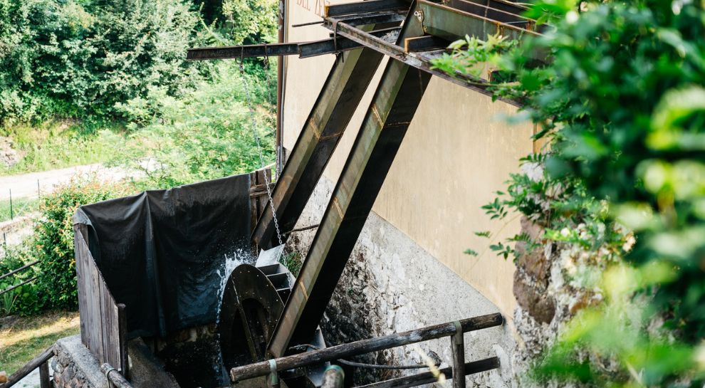















Curated by Garda Trentino
Riva del Garda
The town at the head of Lake Garda under the Rocchetta cliffs, where the Sarca valley reaches the lake.
- 14Highlights
- 79Routes
- Featured summit · Monte Cadria
Highlights
All 14 from neighbouring places
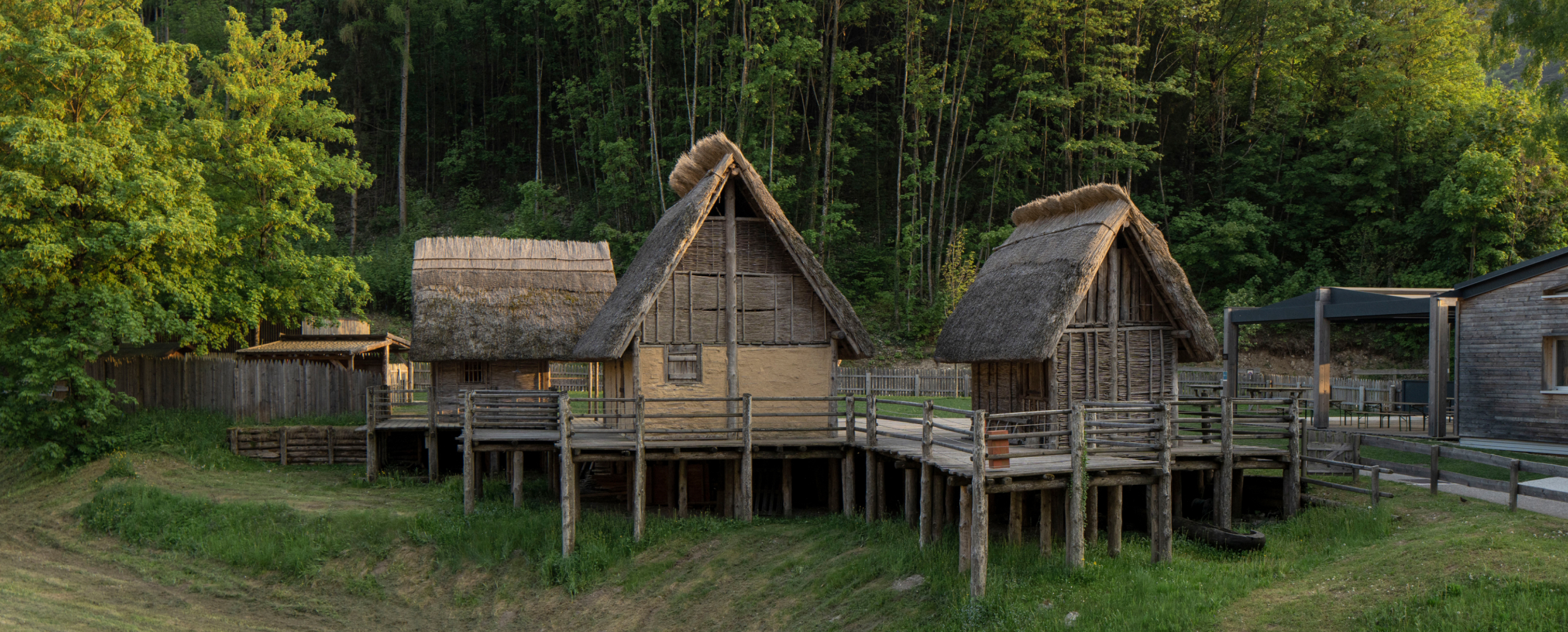
Museo delle Palafitte del Lago di Ledro
5.1 km away, in Ledro
A museum on the Bronze Age pile dwellings found in Lake Ledro, built over part of the excavated site.
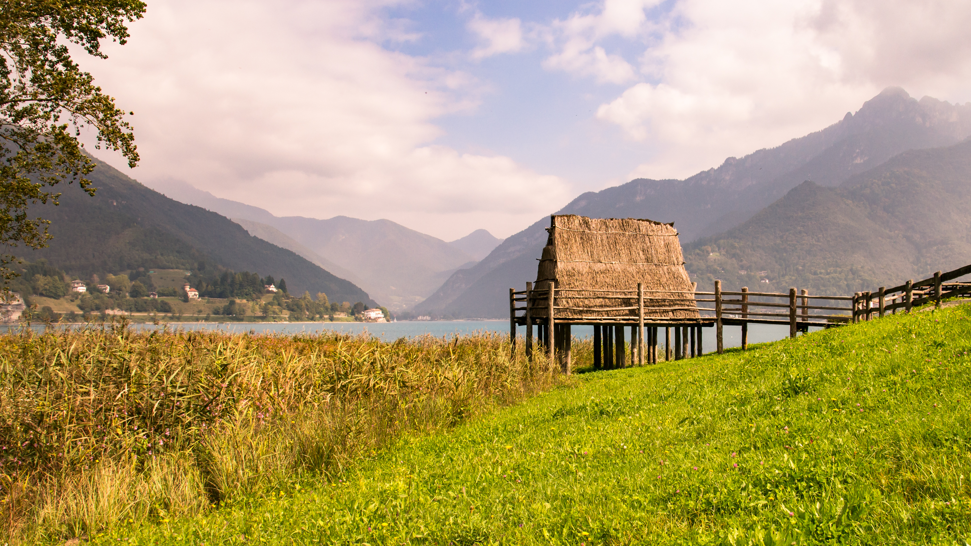
Lago di Ledro
5.7 km away, in Ledro
A lake at 655 m in the Ledro valley west of Riva del Garda, with a Bronze Age pile-dwelling site on its shore.
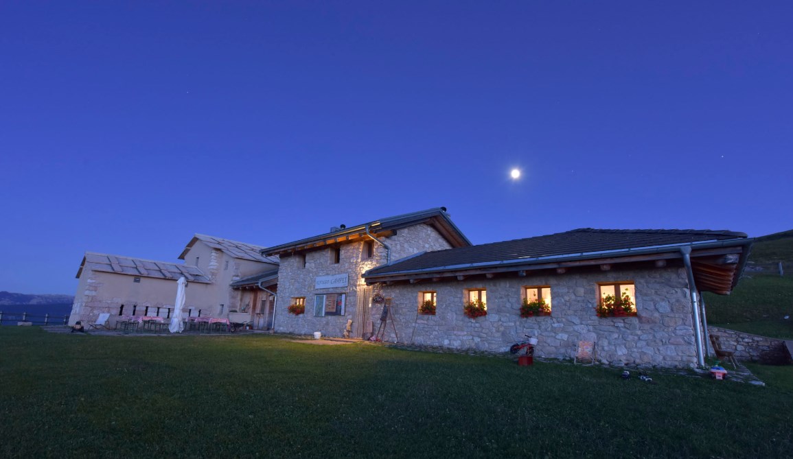
Rifugio Malga Campei
11.2 km away, in Brentonico
A hut on the Campei pastures of Monte Baldo, on the path from Brentonico to the Altissimo.
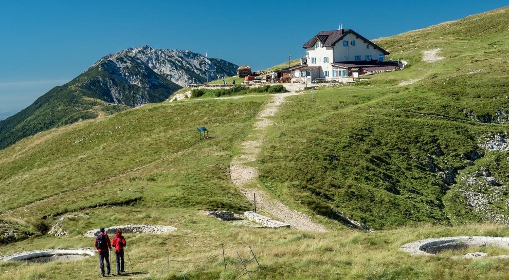
Rifugio Altissimo Damiano Chiesa
11.6 km away, in Brentonico
A hut just below the Altissimo di Nago, the northern summit of Monte Baldo, looking down on Lake Garda.
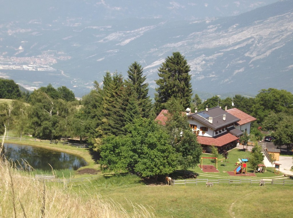
Agritur Malga Mortigola
13.5 km away, in Brentonico
A farm inn on the Baldo pastures above Brentonico, on the trails to the Altissimo.
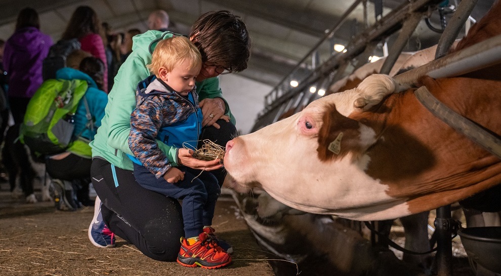
Agritur El Casel Malga Mortigola
13.7 km away, in Brentonico
A working dairy on the Mortigola pastures of Monte Baldo, serving what it makes.
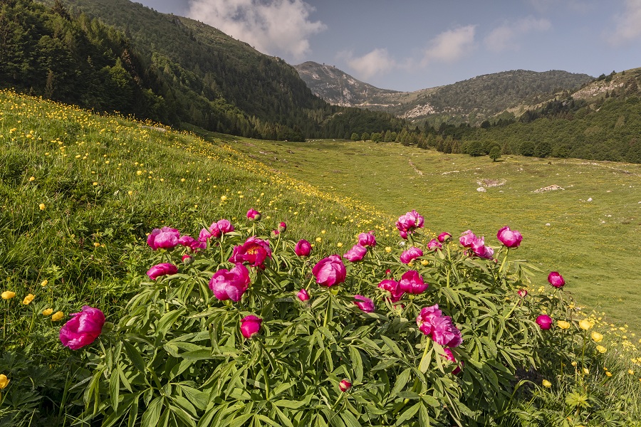
Naturpark Monte Baldo
13.9 km away, in Brentonico
A local nature park on the Trentino flank of Monte Baldo, long known to botanists for its endemic plants.
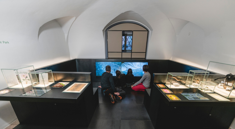
Casa del Parco Naturale Locale Monte Baldo
14.2 km away, in Brentonico
The visitor centre of the Monte Baldo local nature park, at Brentonico on the plateau above the Adige valley.
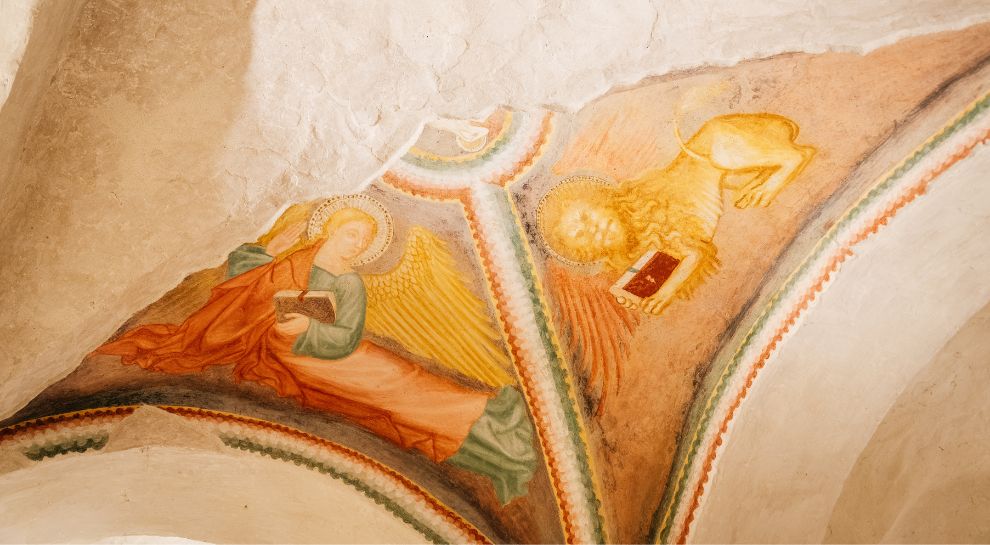
Chiesa dei SS. Pietro e Paolo
14.2 km away, in Brentonico
The parish church of Brentonico, on the terrace above the Adige.
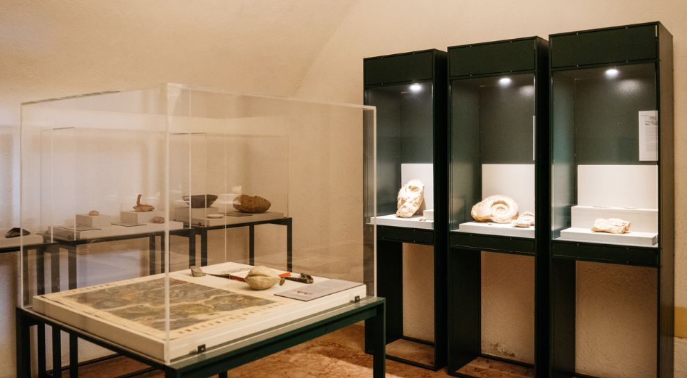
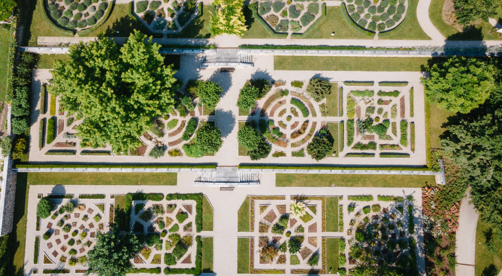
Botanischer Garten und Fossilien-Museum
14.2 km away, in Brentonico
A botanic garden of Monte Baldo's flora at Brentonico, with a collection of the fossils quarried nearby.
Giardino Botanico e Museo del Fossile
14.2 km away, in Brentonico
A botanical garden and fossil museum at Brentonico, on the Monte Baldo plateau above the Adige valley.
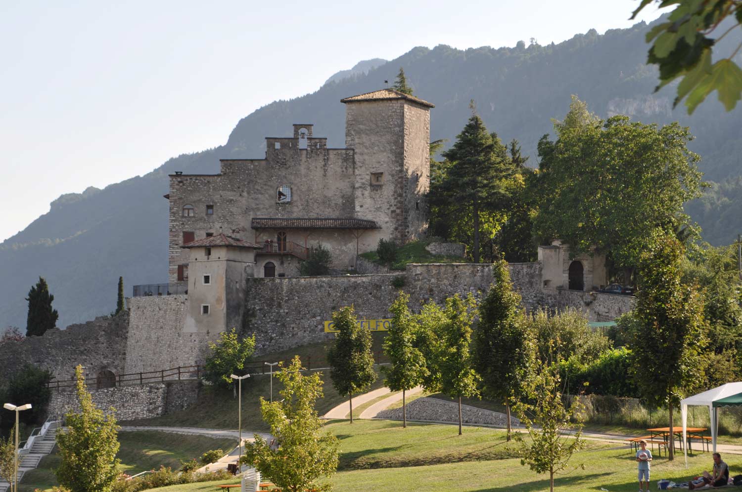
Die Burg von Castellano
14.8 km away, in Villa Lagarina
Castel Castellano above Villa Lagarina, a Vallagarina castle on its rock spur.
Mulino Zeni
14.8 km away, in Brentonico
A restored watermill at Brentonico, still grinding on demonstration days.
Azienda Agricola Feudo Castel Bazom
15 km away, in Villa Lagarina
A wine estate below Castel Bazom at Villa Lagarina, on the Vallagarina terraces.
Nothing of this kind in Riva del Garda.
Routes
50 routes, an even mix of activities · see the rest on gardatrentino.it ↗
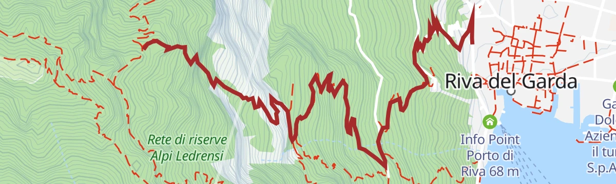
Via Ferrata Fausto Susatti - Cima Capi (from Riva del Garda)
A ferrata up the south ridge of Cima Capi above Lake Garda, on the Rocchetta walls, past trenches and posts from the Great War.
- 9.9 km
- Distance
- 1 147 m
- Ascent
- 8 h 38 min
- Duration
- 156
- Check-ins
 Cima Capi 909 m
 Casermetta 143 m
- vecchio acquedotto 171 m
- Cantoniera Riva del Garda 71 m
- Info Point Porto di Riva 68 m
 Bocca Pasumer 980 m
- +1
Open route Garda TrentinoVia Ferrata dell’Amicizia - Cima SAT
A ferrata from Riva del Garda past the Bastione and the Santa Barbara chapel, then ladders up the Rocchetta wall with the lake directly below.
- 4.0 km
- Distance
- 1 239 m
- Ascent
- 5 h 25 min
- Duration
- 41
- Check-ins
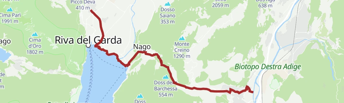
Open route Garda TrentinoSentiero della Pace 10: Riva del Garda to Torbole-Nago
A stage of the Peace Path over Monte Brione between Riva and Torbole, past its Great War forts.
- 6.4 km
- Distance
- 157 m
- Ascent
- 1 h 45 min
- Duration
- 122
- Check-ins
Open route Garda TrentinoGrande Guerra: Sentiero del Defensionmauer "A. Lutteri"
A climb to the Sperone defence wall, built before the Great War against an Italian infantry advance, with its gun positions still in place.
- 8.8 km
- Distance
- 1 022 m
- Ascent
- 6 h 7 min
- Duration
- 111
- Check-ins
La linea blu dell'Alto Garda
A historical route on the 1945 front line, from the Riva del Garda lakefront to the lower slopes of Monte Altissimo near Torbole.
- 15.2 km
- Distance
- 315 m
- Ascent
- 4 h 19 min
- Duration
- 156
- Check-ins
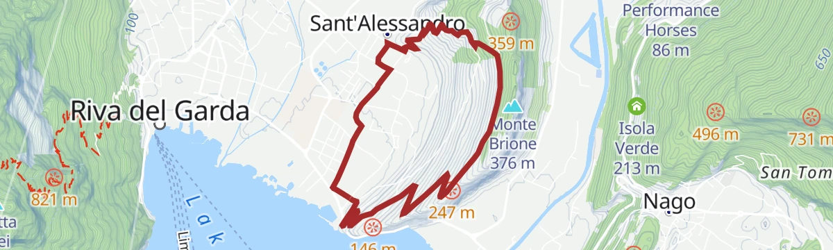
Monte Brione Trail-Tour
A bike tour through the olive groves of Monte Brione to its fortifications; the drop to Sant'Alessandro is stepped and loose, and often walked.
- 6.2 km
- Distance
- 231 m
- Ascent
- 46 min
- Duration
Open route Garda TrentinoAnello Garda Sarca
A round above Riva del Garda between the lake and the Sarca, topping the Dos dele Strie.
- 67.5 km
- Distance
- 1 396 m
- Ascent
- 7 h 18 min
- Duration
- 155
- Check-ins
Garda Cycle Route: Riva del Garda – Sperone
The first Trentino stretch of the lakeside path, heading south from the harbour towards Limone with the mountains rising straight out of the water.
- 2.2 km
- Distance
- 235 m
- Ascent
- 32 min
- Duration
- 91
- Check-ins
- Casermetta 143 m
- Cantoniera Riva del Garda 71 m
- Info Point Porto di Riva 68 m
- Garda Dolomiti Azienda per il turismo S.p.A. 69 m
- Info Point Riva del Garda 69 m
Open route Garda TrentinoPonale Gravel Tour
A gravel climb on the old road cut into the cliffs above Lake Garda, closed to cars since 1995, then paved switchbacks up to Pregasina.
- 14.4 km
- Distance
- 1 016 m
- Ascent
- 2 h 33 min
- Duration
- 137
- Check-ins
- Casermetta 143 m
- vecchio acquedotto 171 m
- Ponale Alto Belvedere 223 m
- Cantoniera Riva del Garda 71 m
- Info Point Porto di Riva 68 m
- Garda Dolomiti Azienda per il turismo S.p.A. 69 m
- +1
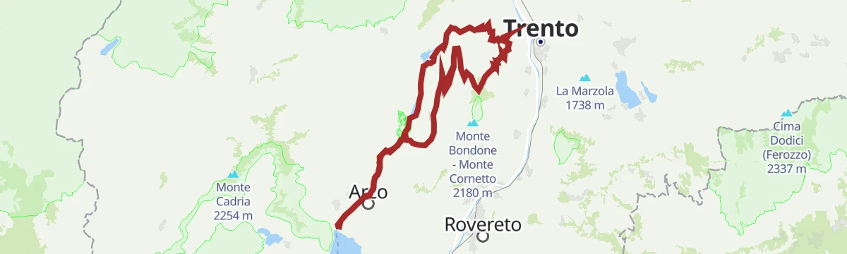
Open route Garda TrentinoDolomiti-Garda Alpine Cycling / Male - Riva del Garda
The full Dolomiti-Garda route through four Trentino valleys, from the Adamello Brenta park down to Lake Garda.
- 109.5 km
- Distance
- 3 039 m
- Ascent
- 12 h 49 min
- Duration
- 230
- Check-ins
- Falesia Fontanella 1 384 m
- Fortini 1 629 m
- LAB Après-Ski 1 632 m
 Laghetto Conca Verde 1 496 m
- La Cantina di Suisse 1 506 m
- Condominio Villa Golf 1 646 m
- +24
Open route APT Madonna di Campiglio, Pinzolo, Val RendenaSup Tour Conca d'Oro
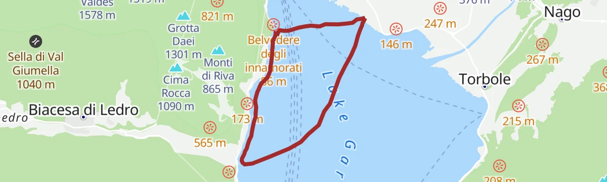
A paddle along the north shore of Lake Garda between Riva and Torbole, under Monte Brione and past the reed beds at the mouth of the Sarca.
- 4.9 km
- Distance
- 0 m
- Ascent
- 1 h 9 min
- Duration
- 28
- Check-ins
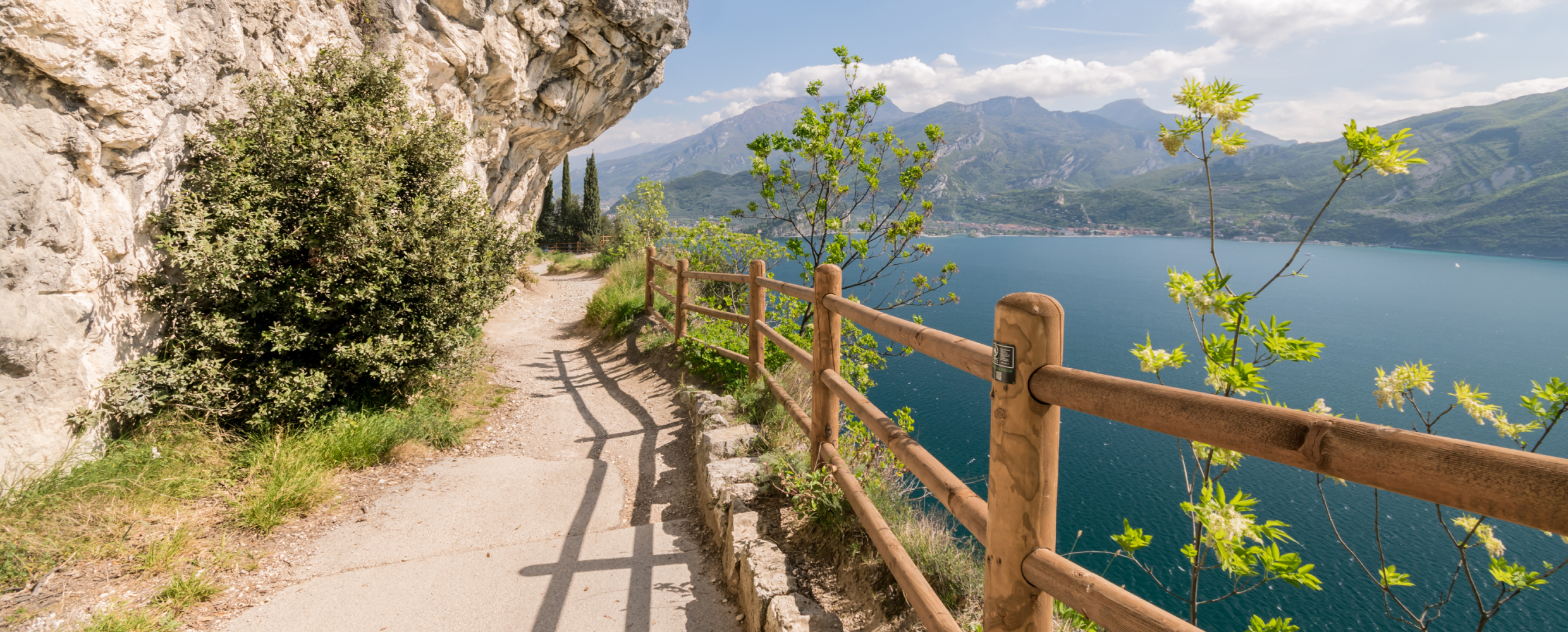
Open route Garda TrentinoPonale Path (from Ledro)
The old Ponale road cut into the cliffs above the north end of Lake Garda, through cypress and holm oak rooted in rock, on a line that decided who held Riva.
- 10.5 km
- Distance
- 981 m
- Ascent
- 6 h 7 min
- Duration
- 111
- Check-ins
- Casermetta 143 m
- vecchio acquedotto 171 m
- Ponale Alto Belvedere 223 m
- Cantoniera Riva del Garda 71 m
- Info Point Porto di Riva 68 m
Open route Garda TrentinoGarda Trek - Medium Loop 4: From Bolognano to Riva del Garda
The closing Medium Loop stage, running down the east side of the valley from Bolognano and taking the Busatte-Tempesta ladders above the lake to Riva.
- 23.0 km
- Distance
- 1 026 m
- Ascent
- 8 h 1 min
- Duration
- 142
- Check-ins
- Dos de la Cronèla 706 m
- Garda Dolomiti Azienda per il turismo S.p.A. 69 m
- Tourist Information 68 m
- Malga Zures 691 m
Open route Garda TrentinoGarda Dolomiti Tour
A long route from Arco into the Garda Dolomites, easier than its length suggests, by the Capanna Alpini.
- 66.6 km
- Distance
- 1 195 m
- Ascent
- 7 h 2 min
- Duration
- 112
- Check-ins
- Capanna Alpini 100 m
- Garda Dolomiti Azienda per il turismo S.p.A. 69 m
- Casa Bastiani 853 m
- Info Point Riva del Garda 69 m
- Agritur Maso Lizzone 126 m
- Malga Lomasone 539 m
- +3
Open route Garda TrentinoFrom Lake Tenno to San Martino archeological site in Campi
An easy road climb from the lake up provincial road 37 to Campi and the archaeological site on Monte San Martino.
- 6.0 km
- Distance
- 300 m
- Ascent
- 44 min
- Duration
- 15
- Check-ins
Open route Garda TrentinoAround Monte Brione
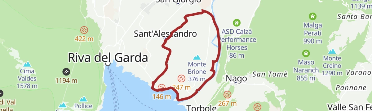
A flat family loop right around the rocky spur between Riva del Garda and Torbole, linking lakeside cycle paths with quiet roads past the campsites.
- 12.9 km
- Distance
- 10 m
- Ascent
- 1 h 9 min
- Duration
- 130
- Check-ins
- Garda Dolomiti Azienda per il turismo S.p.A. 69 m
- Info Point Riva del Garda 69 m
- Bike Farm Linfano 74 m
Open route Garda TrentinoComano Gravel Tour
A long gravel run from the Garda shore to the edge of the Brenta Dolomites, through the Limarò gorge and over the Passo del Ballino to Comano.
- 68.7 km
- Distance
- 1 182 m
- Ascent
- 7 h 13 min
- Duration
- 187
- Check-ins
- Dos dele Strie 401 m
- Capanna Alpini 100 m
- Bike Farm Linfano 74 m
- Agritur Maso Lizzone 126 m
- Centrale di Fies 191 m
- Ingarda 603 m
- +5
Open route Garda TrentinoSup Tour Ponale Waterfall
A paddle out from Riva del Garda under the Rocchetta cliff to the Ponale waterfall, with the old Ponale road traced along the rock above.
- 6.0 km
- Distance
- 0 m
- Ascent
- 1 h 24 min
- Duration
- 23
- Check-ins
Open route Garda TrentinoPonale Path (from Riva del Garda)
The old Ponale road above Lake Garda, cut into the cliff and turned into a walking and cycling route in 2004, climbing towards the Ledro valley.
- 6.3 km
- Distance
- 798 m
- Ascent
- 3 h 52 min
- Duration
- 111
- Check-ins
- Casermetta 143 m
- vecchio acquedotto 171 m
- Ponale Alto Belvedere 223 m
- Cantoniera Riva del Garda 71 m
- Info Point Porto di Riva 68 m
Open route Garda TrentinoLedro Alps Trek Alpiedi
A stage of the Ledro Alps trek along the Great War front line, over the Rocchetta Giochello and Cima Valdes below Cima d'Oro and Cima Parì.
- 11.1 km
- Distance
- 1 282 m
- Ascent
- 6 h 13 min
- Duration
- 128
- Check-ins
Malga Grassi Trail-Tour
A bike tour from Riva del Garda by Pranzo and Campi to Malga Grassi, over minor roads, gravel cart tracks and a little main road.
- 24.2 km
- Distance
- 1 098 m
- Ascent
- 3 h 11 min
- Duration
- 42
- Check-ins
- Monte San Martino 832 m
- Garda Dolomiti Azienda per il turismo S.p.A. 69 m
- Info Point Riva del Garda 69 m
- Capanna Grassi 1 056 m
- Malga Pranzo 1 039 m
Open route Garda TrentinoMonte Brione Family Tour
A flat family ride on cycle paths and asphalt right around Monte Brione rather than over it, manageable on any kind of bike.
- 8.5 km
- Distance
- 56 m
- Ascent
- 49 min
- Duration
- 70
- Check-ins
Open route Garda TrentinoGarda Trentino Discover
An easy long ride from the lake shore up to Arco among olive groves, on along the Sarca between vineyards, and back by the Lago di Cavedine.
- 58.9 km
- Distance
- 337 m
- Ascent
- 5 h 33 min
- Duration
- 185
- Check-ins
- Capanna Alpini 100 m
- Garda Dolomiti Azienda per il turismo S.p.A. 69 m
- Info Point Riva del Garda 69 m
- Bike Farm Linfano 74 m
- Centrale di Fies 191 m
Open route Garda TrentinoI Forti del Monte Brione
An easy walk on the Sentiero della Pace over Monte Brione, visiting the Austrian forts that once guarded the imperial border.
- 6.1 km
- Distance
- 313 m
- Ascent
- 2 h 16 min
- Duration
- 17
- Check-ins
Bocca Trat - Cima Parì
A climb to Cima Parì along the old Great War front, over ground held in turn by Austrian and Italian troops in the fighting known as the White War.
- 9.7 km
- Distance
- 633 m
- Ascent
- 4 h 17 min
- Duration
- 88
- Check-ins
- Cima Parì 1 991 m
- Rifugio Bocca di Trat "Nino Pernici" 1 600 m
- Bocca di Trat 1 581 m
- Bocca di Saval 1 739 m
- Bochét de Carét 1 807 m
- Malga Trat 1 550 m
- +2
Open route Garda TrentinoTrekking to Cima Bal and Cima Nara
A sunny high route from Bocca di Larici across the Guil meadows to Cima Nara, a little-visited top in the Garda-Ledro prealps.
- 10.2 km
- Distance
- 891 m
- Ascent
- 5 h 38 min
- Duration
- 111
- Check-ins
- Punta Larici 907 m
- Monte Palaer 1 073 m
- Cima della Nara (Cima dei Coi) 1 376 m
- Cima al Bal 1 260 m
- Cima Strussia 1 238 m
- Cima Nodice 859 m
- +3
Open route Garda TrentinoBike Festival Test Trail - Brione
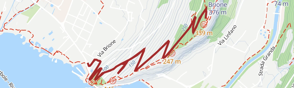
A climb through olive groves above Riva del Garda to a historic site, with an optional technical drop over steps and loose rock to Sant'Alessandro.
- 8.4 km
- Distance
- 244 m
- Ascent
- 59 min
- Duration
- 34
- Check-ins
Open route Garda TrentinoLimone - Tignale - Tremosine
A hard loop through the tunnels of the Gardesana Occidentale, then twice up to the villages on the terraces high above the western shore.
- 62.9 km
- Distance
- 2 937 m
- Ascent
- 8 h 21 min
- Duration
- 182
- Check-ins
- Casermetta 143 m
- Cantoniera Riva del Garda 71 m
- Info Point Porto di Riva 68 m
- Garda Dolomiti Azienda per il turismo S.p.A. 69 m
- Villa Zagara 78 m
- Ufficio Informazioni 102 m
- +13
Open route Garda TrentinoSup Tour Baia Azzurra
A beginner's paddle along the lakefront between Riva del Garda and the Lido di Arco, over the line where the Sarca current meets the lake.
- 2.4 km
- Distance
- 0 m
- Ascent
- 33 min
- Duration
- 17
- Check-ins
Open route Garda TrentinoGardaTrek - TopLoop 2: descent to Lake Tenno (Alternative route)
An alternative descent from the Pernici hut by Bocca di Trat and Malga Grassi to Tenno and the stone village of Canale, ending at the San Pietro hut; the waymarks still show the old line.
- 12.3 km
- Distance
- 582 m
- Ascent
- 5 h 31 min
- Duration
- 84
- Check-ins
- Rifugio San Pietro 976 m
- Rifugio Bocca di Trat "Nino Pernici" 1 600 m
- Casa Bastiani 853 m
- Bocca di Trat 1 581 m
- Malga Pranzo 1 039 m
- Malga Dosso dei Fiori 1 355 m
Open route Garda Trentino2 days in the mountains of Garda Trentino and 1 night in Rifugio Pernici
A two-day round with a night at the Pernici hut, up through holm oak and beech and back along the ridge dividing Garda from the Ledro valley.
- 25.3 km
- Distance
- 2 377 m
- Ascent
- 14 h 48 min
- Duration
- 104
- Check-ins
- Rocchetta Giochello 1 519 m
- Cima Valdes 1 578 m
- Rifugio Bocca di Trat "Nino Pernici" 1 600 m
- Capanna Santa Barbara 568 m
- Bocca di Trat 1 581 m
- Bait del Toni 572 m
- +6
Open route Garda TrentinoBike Festival Test Trail – Easy
A short loop from the cycle path up asphalt lanes among olive trees, pitching briefly to 30%, then down an old dirt road towards the Lago di Tenno.
- 8.6 km
- Distance
- 201 m
- Ascent
- 57 min
- Duration
Open route Garda TrentinoCastelfeder – Trento – Garda
A cycle-path route down the Adige from Ora to Lake Garda, through orchards, vineyards and the old river towns.
- 92.1 km
- Distance
- 198 m
- Ascent
- 8 h 25 min
- Duration
- 172
- Check-ins
- Prati Del Diavolo 208 m
- Taio 189 m
- Garda Dolomiti Azienda per il turismo S.p.A. 69 m
- Soardi Center 212 m
- cappella di San Rocco 213 m
- Passo San Giovanni 272 m
- +15
Open route Sterzing, Pfitsch und FreienfeldDal lago di Tenno agli scavi di San Martino di Campi
A short uphill route from the Tenno lake to the hidden hamlet of Campi and the archaeological dig on Monte San Martino.
- 6.0 km
- Distance
- 300 m
- Ascent
- 1 h 55 min
- Duration
- 15
- Check-ins
Anello di Pregasina: Punta Larici e Malga Palaer
A circuit above Pregasina to Punta Larici, the best-known viewpoint over Lake Garda, on a panoramic path that is exposed in places.
- 6.5 km
- Distance
- 586 m
- Ascent
- 3 h 40 min
- Duration
- 64
- Check-ins
Ledro Alps Trek Alpiedi - Leg 4: from Rifugio Pernici to Bivacco Campel
A long leg from the Pernici hut over Corno di Pichea, Monte Cadria and Monte Tofino to the Campel bivouac, on meadow, scree and rock holding fossils.
- 18.2 km
- Distance
- 1 621 m
- Ascent
- 10 h
- Duration
- 79
- Check-ins
- Corno di Pichea 2 142 m
- Monte Cadria 2 254 m
- Monte Tofino 2 151 m
- Doss dela Torta 2 156 m
- Corno dei Giù 2 052 m
- Gavardina 2 047 m
- +11
Open route Garda TrentinoDiscovering the Brione Forts by bike
A ride up to the Austro-Hungarian forts on the ridge above Riva del Garda, built before 1918 and now standing in a reserve of Mediterranean plants.
- 8.5 km
- Distance
- 326 m
- Ascent
- 1 h 4 min
- Duration
Open route Garda TrentinoTremosine’s Forra Road
A ride down the lake past Limone and up the narrow 1913 road that threads a gorge in tunnels and galleries, which Churchill called an eighth wonder.
- 43.3 km
- Distance
- 1 462 m
- Ascent
- 5 h 13 min
- Duration
- 166
- Check-ins
- Casermetta 143 m
- Cantoniera Riva del Garda 71 m
- Info Point Porto di Riva 68 m
- Garda Dolomiti Azienda per il turismo S.p.A. 69 m
- Villa Zagara 78 m
- Ufficio Informazioni 102 m
- +7
Open route Garda TrentinoGreat War: Cima Nodice and the “Scala Santa” or Holy Stairs
A short route to Cima Nodice by the stepped Scala Santa, on little-used paths where Great War positions are still plain to see.
- 3.1 km
- Distance
- 302 m
- Ascent
- 1 h 51 min
- Duration
- 9
- Check-ins
Open route Garda TrentinoPunta Larici
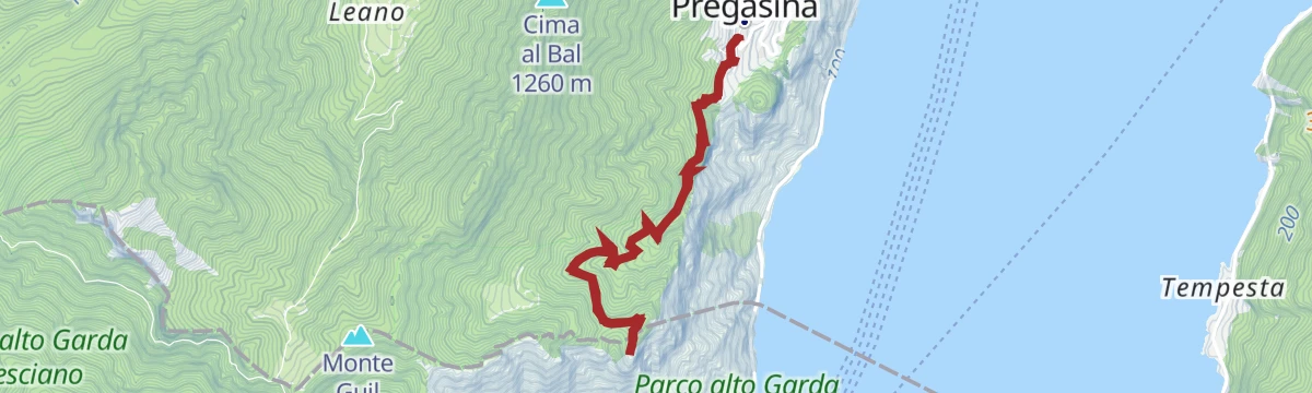
A climb to Punta Larici from Pregasina, the hamlet set high above the lake that belongs to Riva del Garda although it lies in the Ledro valley.
- 7.0 km
- Distance
- 399 m
- Ascent
- 2 h 48 min
- Duration
- 60
- Check-ins
Open route Garda TrentinoGarda Trek - Top Loop 1: from Riva del Garda to Rifugio Pernici
The opening Garda Trek stage, leaving Riva del Garda for the steep SAT 418 up Monte Rocchetta, over Cima Sat and the ridges to the Pernici hut.
- 13.7 km
- Distance
- 2 004 m
- Ascent
- 8 h 46 min
- Duration
- 62
- Check-ins
- Cima Sat 1 268 m
- Rocchettina 672 m
- Rifugio Bocca di Trat "Nino Pernici" 1 600 m
- Baita Mirella 1 725 m
- Bocca Saval 1 720 m
- Bocca Dromaé 1 680 m
- +1
Open route Garda TrentinoCiclabile Adige
A flat cycle path linking Mori in the Vallagarina with Torbole on Lake Garda, running past the campsites at Arco Lido.
- 19.9 km
- Distance
- 160 m
- Ascent
- 1 h 56 min
- Duration
- 154
- Check-ins
L’Area Archeologica San Martino a Campi
An easy walk from Campi di Riva del Garda up to the archaeological site of San Martino on the hill above the village.
- 2.3 km
- Distance
- 150 m
- Ascent
- 1 h 1 min
- Duration
- 3
- Check-ins
Punta Larici, the most spectacular lookout point on Lake Garda
A steep, direct climb from Pregasina to the rock balcony of Punta Larici, facing Limone across the water; the last section is exposed.
- 3.2 km
- Distance
- 379 m
- Ascent
- 1 h 38 min
- Duration
- 60
- Check-ins
Open route Garda TrentinoGardaTrek Medium Loop 1: from Riva del Garda to Rifugio San Pietro
The first Medium Loop stage, climbing north from the lake through woods and farmland by the San Martino site above Campi to the San Pietro hut.
- 17.1 km
- Distance
- 1 439 m
- Ascent
- 7 h 32 min
- Duration
- 41
- Check-ins
Open route Garda TrentinoAlong three lakes: from Lake Garda to Valle di Ledro
A ride from Lake Garda up to Ledro and on to Lake Ampola, where holm oak and cypress give way to conifers and then to reed beds.
- 24.1 km
- Distance
- 1 083 m
- Ascent
- 2 h 56 min
- Duration
- 148
- Check-ins
- Casermetta 143 m
- vecchio acquedotto 171 m
- Ponale Alto Belvedere 223 m
- Cantoniera Riva del Garda 71 m
- Info Point Porto di Riva 68 m
- Info Point Gardatrentino 657 m
- +1
Open route Garda TrentinoThrough the olive groves of Brione
A level walk from Porto San Nicolò through the old olive terraces of Monte Brione to the hamlet of Sant'Alessandro, returning on the cycle path.
- 4.2 km
- Distance
- 167 m
- Ascent
- 1 h 24 min
- Duration
- 3
- Check-ins
Open route Garda TrentinoGrande Guerra: da Malga Grassi al Rifugio Pernici
One of the most walked approaches in Garda Trentino, short and not too hard, from Malga Grassi up to the Pernici hut at Bocca di Trat.
- 2.5 km
- Distance
- 550 m
- Ascent
- 2 h
- Duration
- 31
- Check-ins
Sentiero della Pace 9: Rifugio Pernici to Riva del Garda
A descent from the Pernici hut to the lake, high and open past Great War trenches at first, then on an easy forest road through the woods.
- 18.3 km
- Distance
- 204 m
- Ascent
- 6 h 12 min
- Duration
- 41
- Check-ins
- Rifugio Bocca di Trat "Nino Pernici" 1 600 m
- Baita Mirella 1 725 m
- Bocca Saval 1 720 m
- Bocca Dromaé 1 680 m
Open route Garda TrentinoMonte Bondone Tour
A century ride from Riva del Garda past the Lago di Cavedine to the long 8% east-side climb to the Viote basin, four times a Giro stage finish.
- 99.6 km
- Distance
- 1 950 m
- Ascent
- 10 h 41 min
- Duration
- 135
- Check-ins
- Dos Pelà 460 m
- Doss della Rocchetta 1 108 m
- Capanna Viote 1 568 m
- Lago Mara 1 553 m
- Garda Dolomiti Azienda per il turismo S.p.A. 69 m
- Info Point Riva del Garda 69 m
- +18
Open route Garda Trentino
No routes of this kind in Riva del Garda yet.
The region's own picks

Featured route
Sentiero della Pace 10: Riva del Garda to Torbole-Nago
A stage of the Peace Path over Monte Brione between Riva and Torbole, past its Great War forts.
Planning a trip to Riva del Garda?
Everything else Trentino-Alto Adige/Südtirol has, in one place


Take Riva del Garda with you into the mountains
Every route on this page with 3D terrain, GPX navigation and offline maps — including the valleys with no signal.
Data sources
- Official website: gardatrentino.it ↗
- Routes and highlights: Garda Trentino, Visitrovereto, Visit Trentino, Italia.it, APT Madonna di Campiglio, Pinzolo, Val Rendena, Sterzing, Pfitsch und Freienfeld
- Published as open data by the tourist boards named above.
- Region summary generated from the board's own material.
