
Curated by Vorarlberg Tourismus
Riefensberg
Built on two levels at 780 m by the Allgäu border, where the workshop that makes the Bregenzerwald Juppe still works.
- 8Highlights
- 15Routes
Highlights
7 from neighbouring places
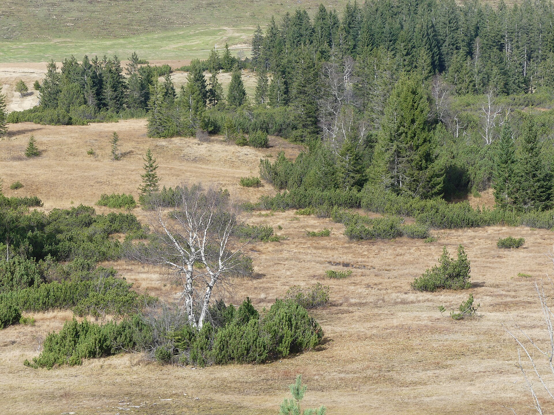
Kojen-Moos
A protected bog on the high ground below the Kojen, crossed by the ridge path from the village.
PeakVisor / OpenStreetMapKojenstein
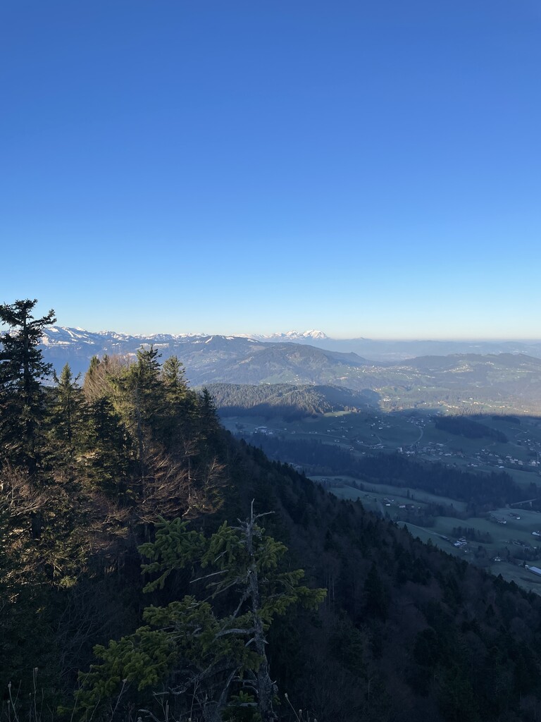
The village's own mountain at 1,300 m, a little over a kilometre south-east of the centre.
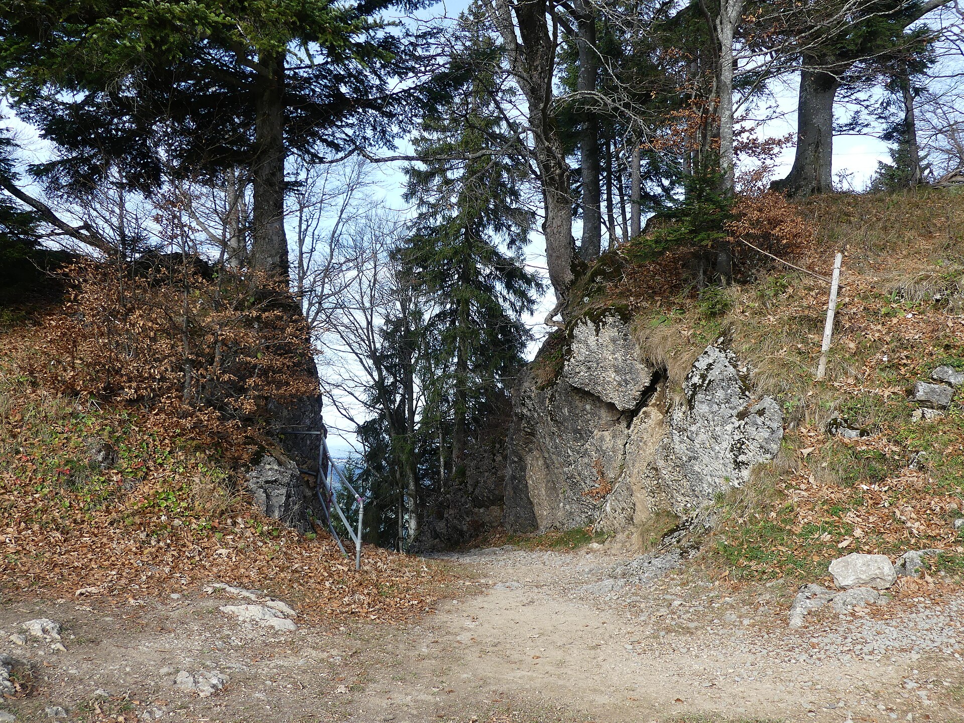
Steinernes Tor
A rock arch on the way up from the village to the Kojenstein, and a lookout in its own right.
PeakVisor / OpenStreetMapHennenmoos
A lift on the Hochhäderich side of the municipality, two and a half kilometres south-east of the village.
Skigebiet Hochhäderich Riefensberg
The Alpenarena on the Hochhäderich, used by downhill skiers and cross-country skiers alike.
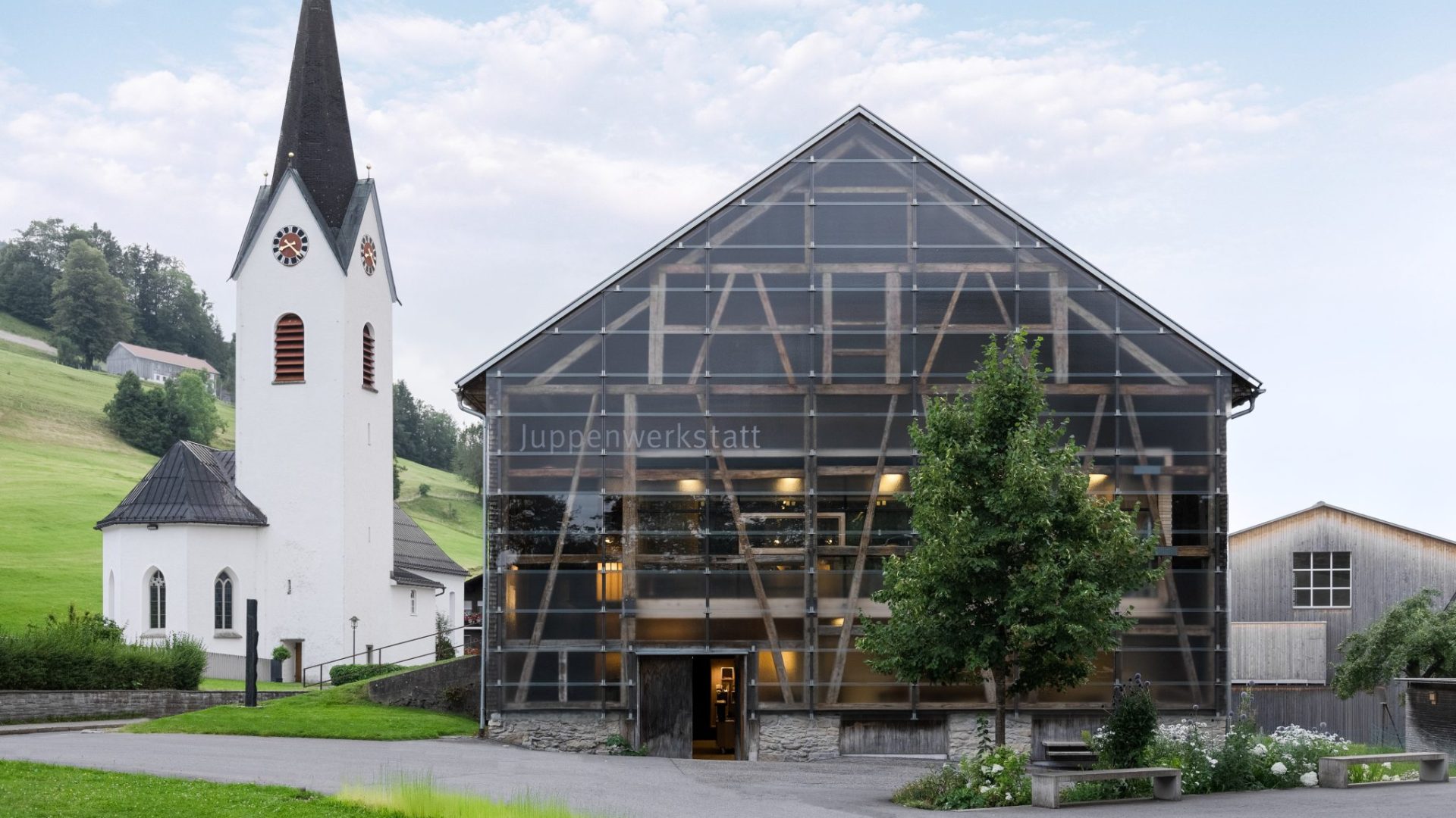
Juppenwerkstatt Riefensberg
The workshop where the Bregenzerwald Juppe is made; making and wearing it entered Austria's intangible heritage list in 2021.
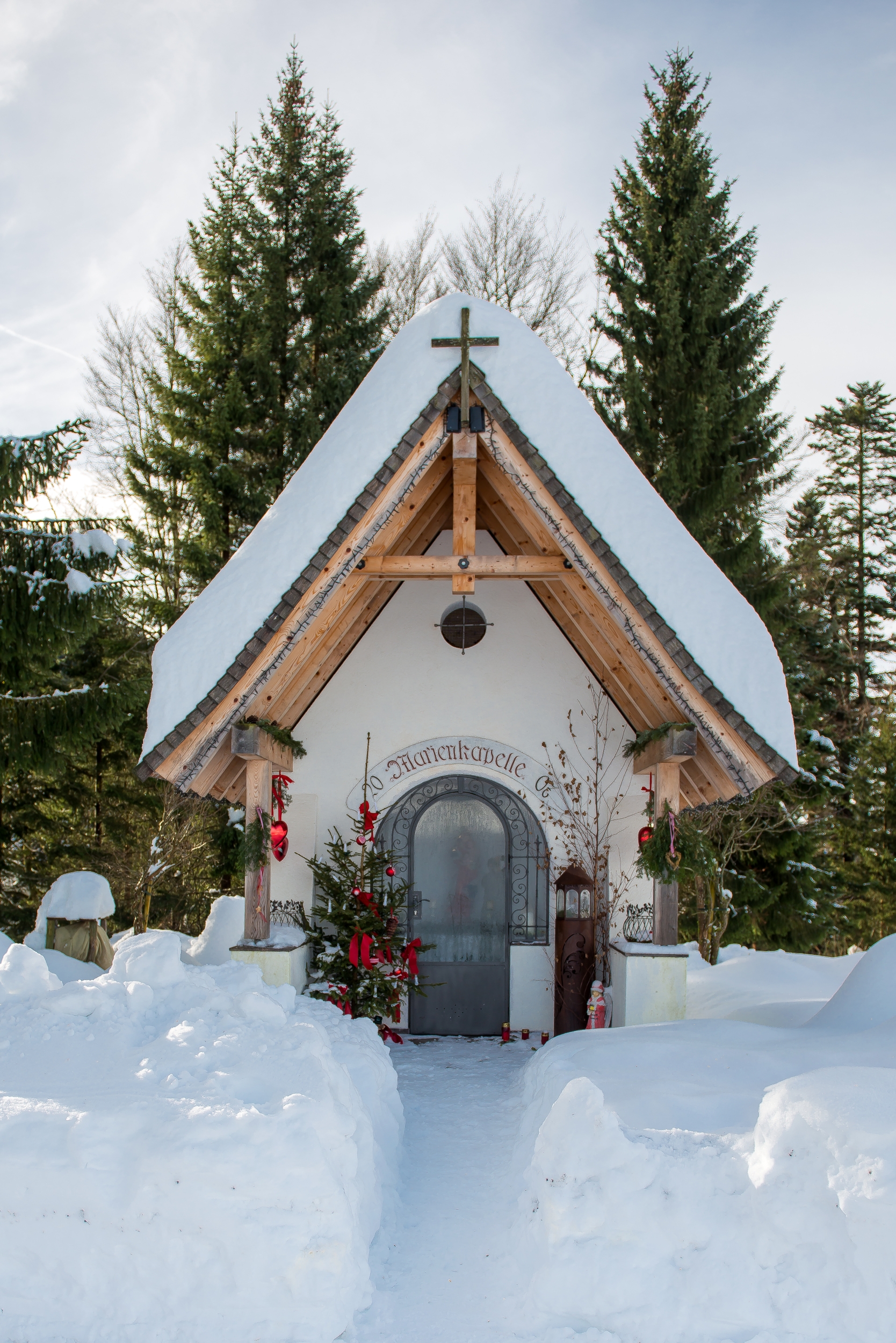
Marienkapelle
A wayside chapel a kilometre and a half east of the village, on the path towards the Steinernes Tor.
PeakVisor / OpenStreetMapRiefensberg – 3D Bogenparcours
A 3D archery course laid out through the woods, shot at animal targets along a walking circuit.
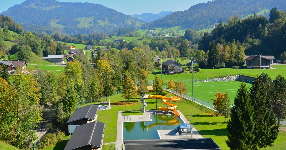
Freibad Hittisau
3.4 km away, in Hittisau
The open-air swimming pool of Hittisau in the Bregenzerwald, open through the summer months.
Rotenberg
3.7 km away, in Hittisau
A 994 m hill north-east of the village, covered by the selection forest the local theme trail explains.
Hochhäderich
3.7 km away, in Hittisau
At 1,566 m the westernmost mountain of the Hochgrat chain, with the Austrian-German border running over its top.
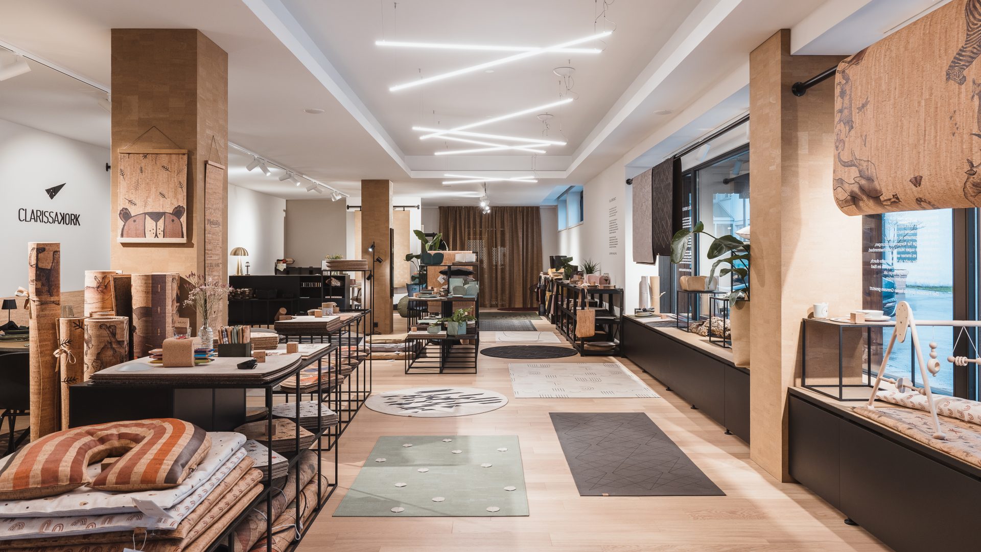
CLARISSAKORK
4.1 km away, in Hittisau
A workshop making rugs, homeware and children's things out of cork.
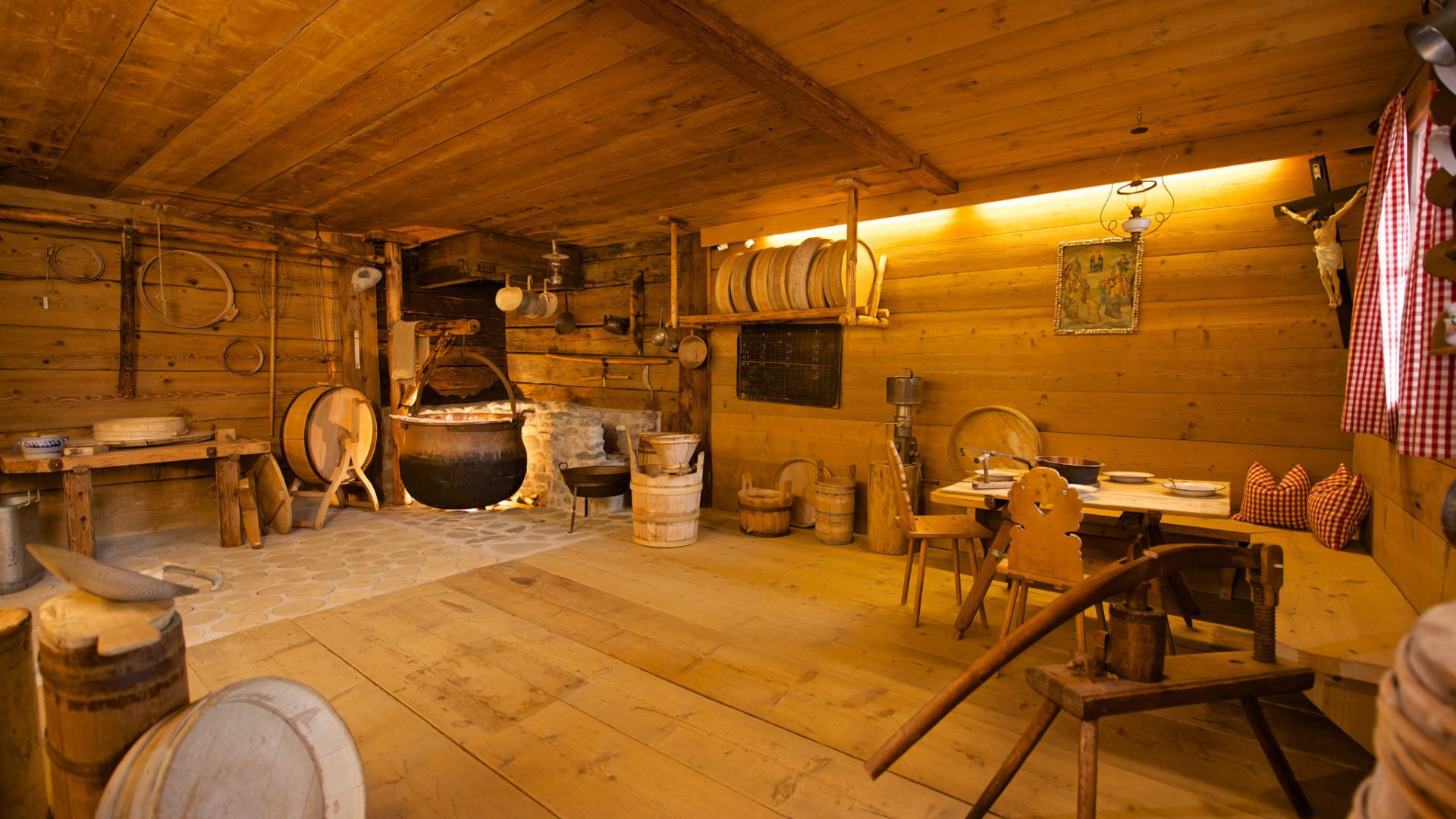
Alpsennereimuseum Hittisau
4.2 km away, in Hittisau
A historic alp dairy kitchen with its cheese-making and milk-working equipment, shown with a tasting.
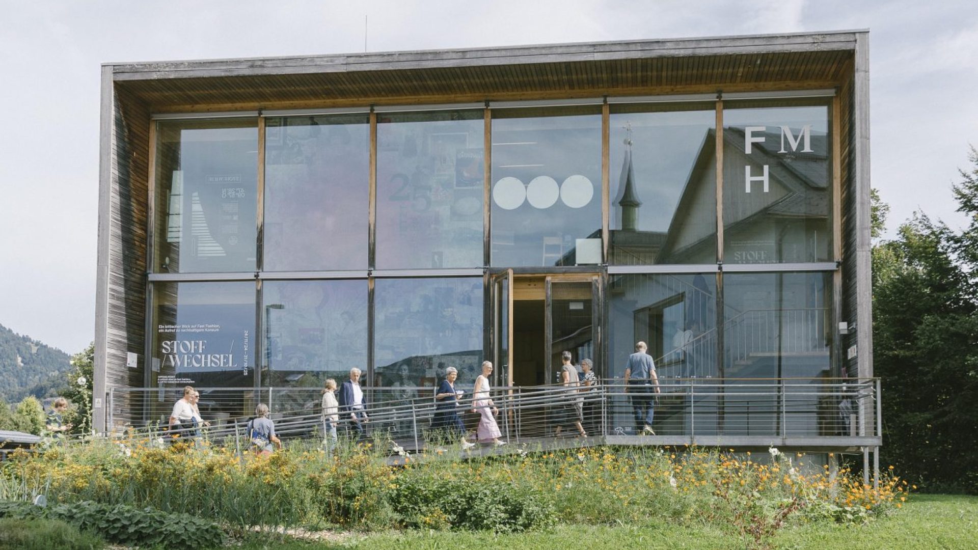
Frauenmuseum Hittisau
4.3 km away, in Hittisau
The only women's museum in Austria, and the only one anywhere set in a rural region.
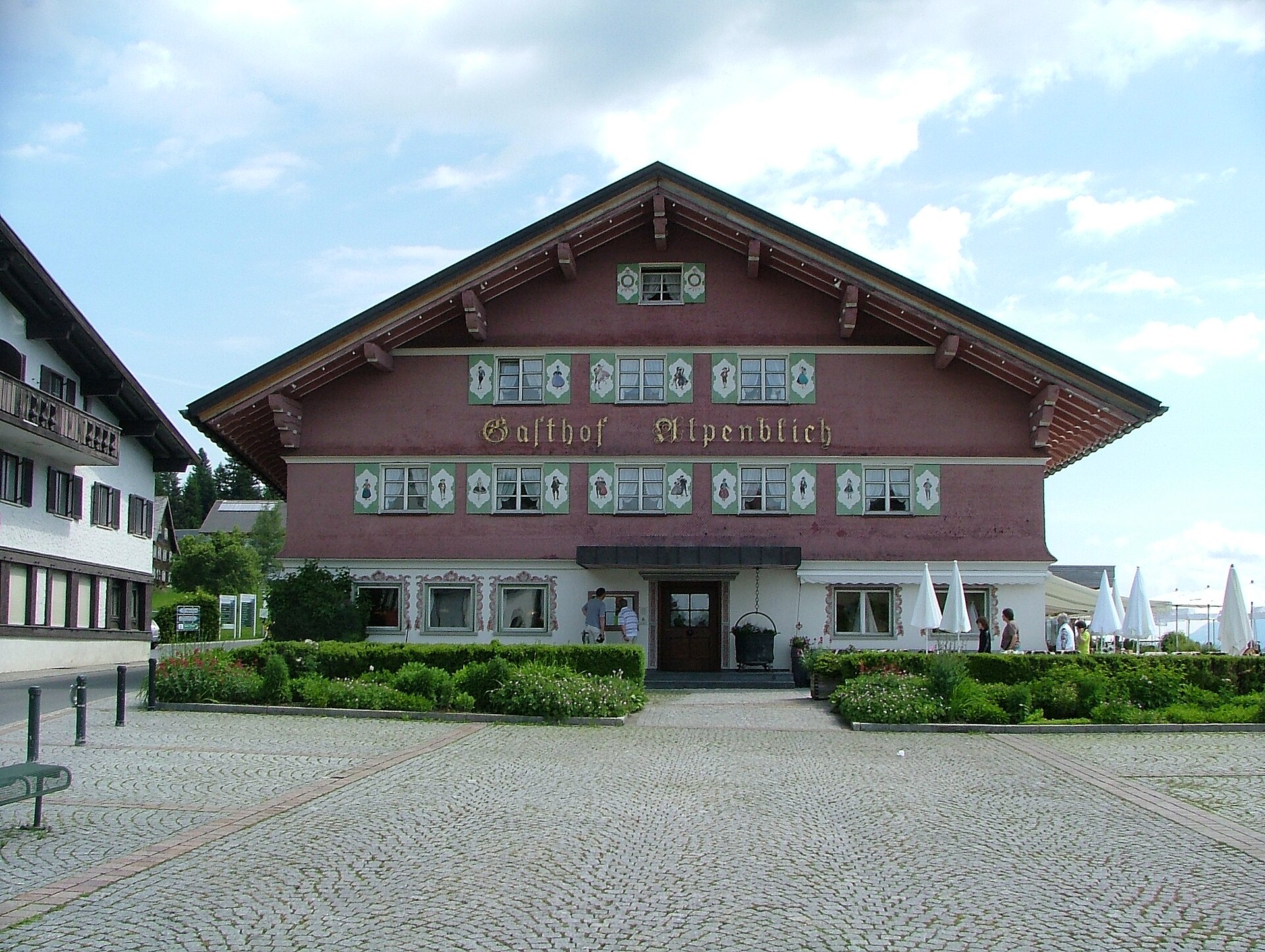
Gasthof Alpenblick
4.4 km away, in Sulzberg
An inn on the plateau half a kilometre south-west of the village square, looking out over the Bregenzerwald.
PeakVisor / OpenStreetMap
 Viewpoint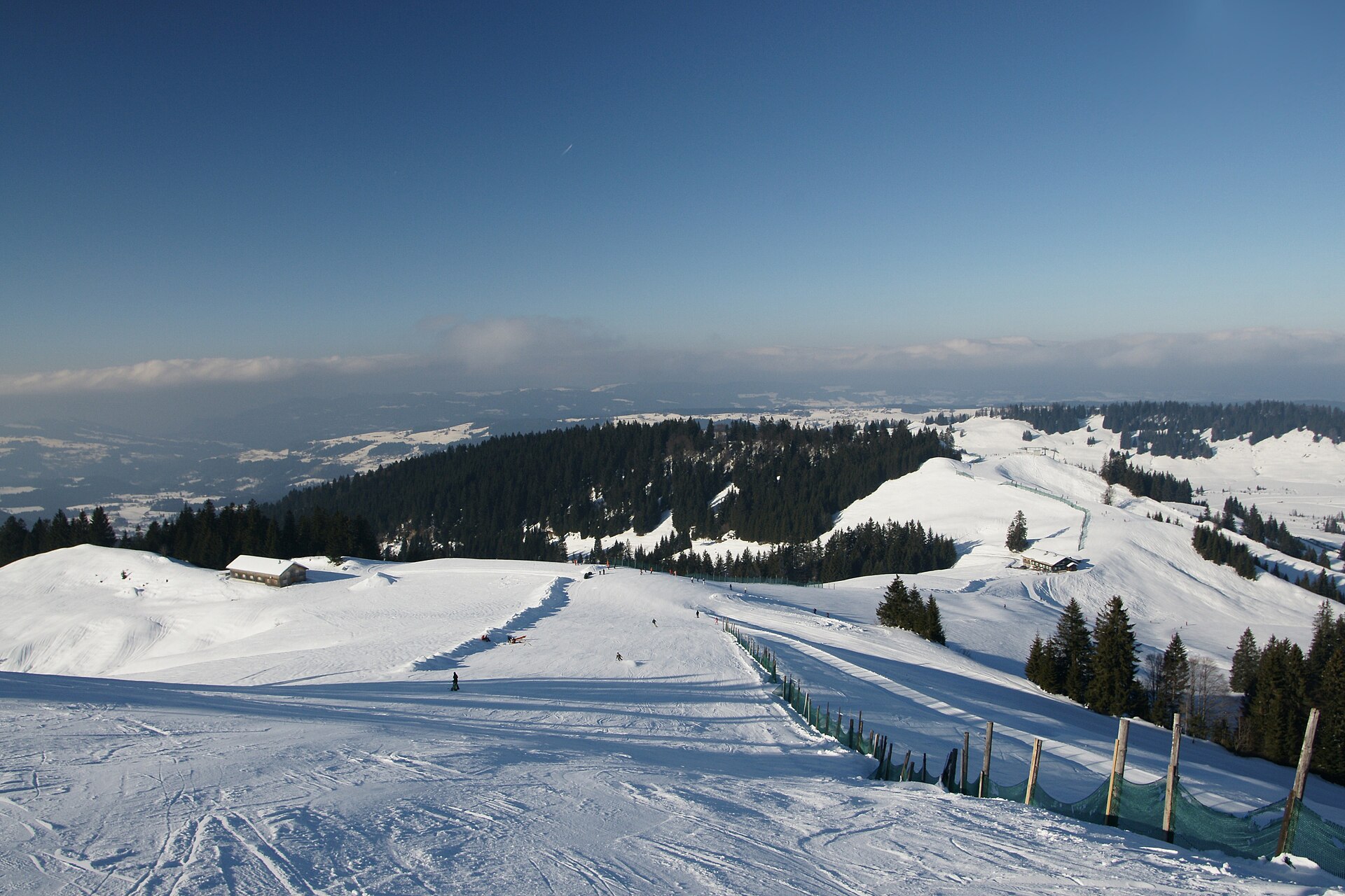
 Cable car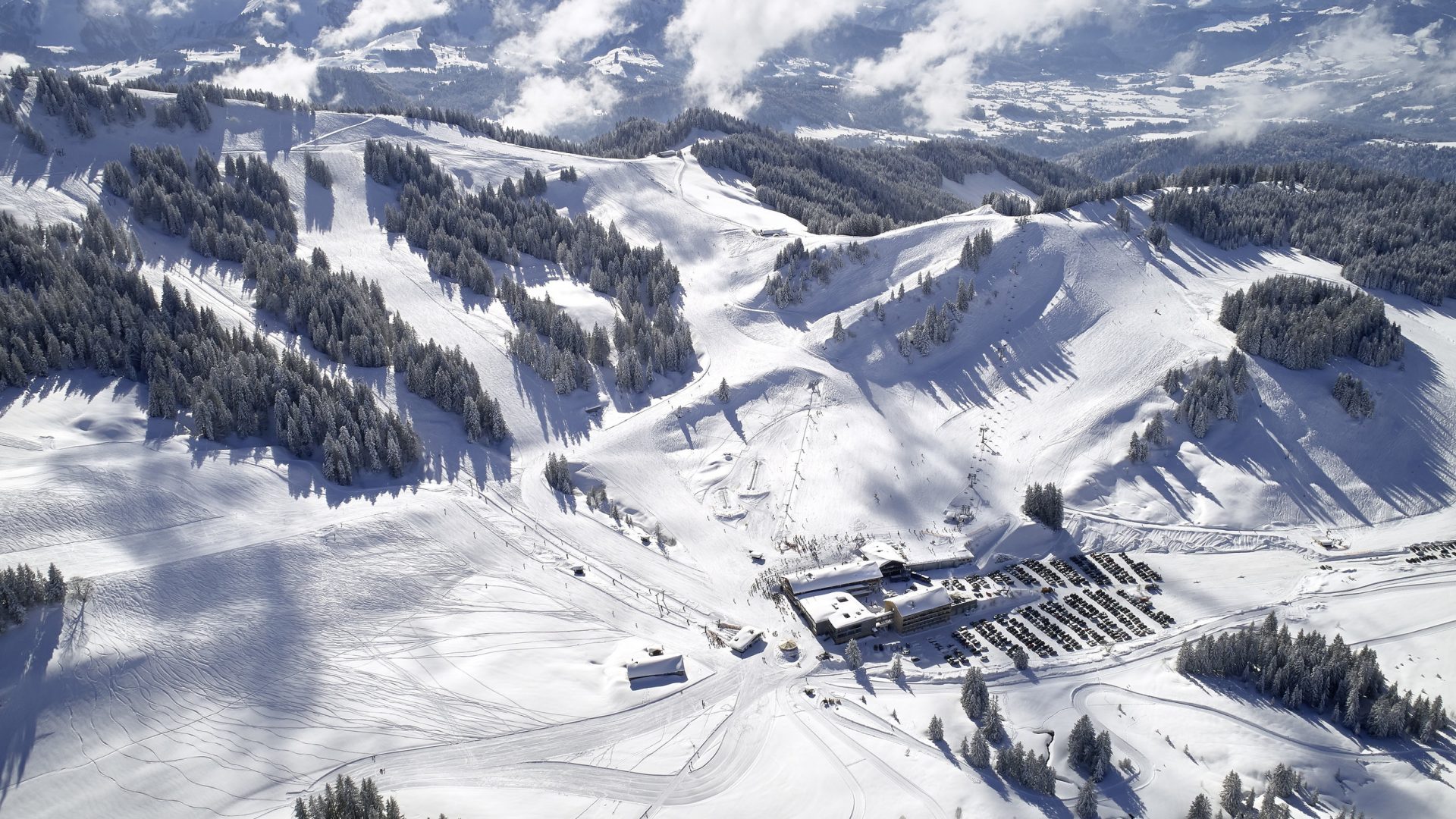
 Historic site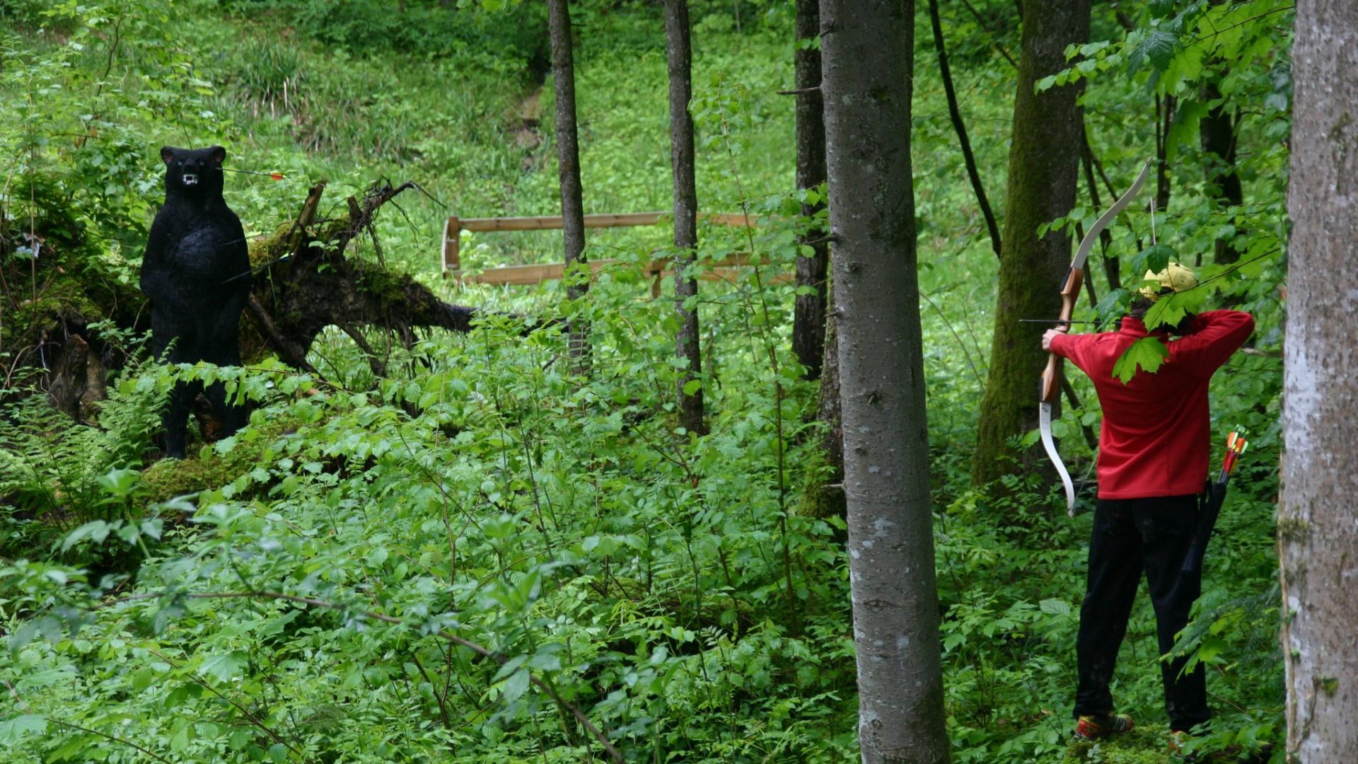
 Mountain hut
 Nothing of this kind in Riefensberg.
Routes
Riefensberg | Barfußparcours
A barefoot course laid out in a piece of woodland below the football ground, on wood chips and pebbles.
- 2.4 km
- Distance
- 127 m
- Ascent
- 55 min
- Duration
Open route Vorarlberg TourismusHüttenwanderung Naturpark Nagelfluhkette (Etappe 2)
The second day of the Nagelfluhkette hut walk, from the Falkenhütte on to the Berggasthof Hochhäderich.
- 10.1 km
- Distance
- 452 m
- Ascent
- 3 h 24 min
- Duration
Open route Vorarlberg TourismusHittisau | von Hittisau nach Sulzberg
Down to the Bolgenach and up the far side through mixed woodland to the plateau village of Sulzberg.
- 16.5 km
- Distance
- 1 101 m
- Ascent
- 6 h 60 min
- Duration
Open route Vorarlberg TourismusHandwerk und Innovation
A ride through the Bregenzerwald along its craft tradition, from timber building to fair-faced concrete.
- 38.7 km
- Distance
- 622 m
- Ascent
- 4 h 4 min
- Duration
Open route Vorarlberg TourismusRiefensberg | Eulenweg – den Wald mit allen Sinnen erleben
A round through wood and meadow with eight stations, made to be walked with all the senses.
- 2.7 km
- Distance
- 129 m
- Ascent
- 57 min
- Duration
Open route Vorarlberg TourismusMin Weag 03 | Sulzberg – Hochhäderich
A half-day Min Weag stage over the green hills of the outer Bregenzerwald, by a historic bridge and the Steinernes Tor.
- 12.2 km
- Distance
- 698 m
- Ascent
- 4 h 30 min
- Duration
Open route Vorarlberg TourismusKäseweg Bregenzerwald | Sulzberg – Hittisau (1. Etappe)
The first stage of the Käseweg, a cheese-makers' route linking the alps and dairies between Sulzberg and Hittisau.
- 16.5 km
- Distance
- 879 m
- Ascent
- 6 h 44 min
- Duration
Open route Vorarlberg TourismusHittisau | Hochhäderich-Runde
A mountain-bike round from Hittisau up to the Hochhäderich and back, with wide views from the top.
- 21.1 km
- Distance
- 841 m
- Ascent
- 2 h 40 min
- Duration
Open route Vorarlberg TourismusRiefensberg | Rundweg durch Feld und Wald
A varied round from the village core past the parish church and up the open slopes to the Dorferhöhe.
- 6.9 km
- Distance
- 346 m
- Ascent
- 2 h 31 min
- Duration
Open route Vorarlberg TourismusRiefensberg | Hochhäderich Rundweg
A high path almost entirely on rolled tracks through the hollow between the Hochhäderich and the Kojen-Fluh ridges.
- 7.3 km
- Distance
- 119 m
- Ascent
- 1 h 59 min
- Duration
Open route Vorarlberg TourismusSulzberg | Rundtour Sonnseite über Riefensberg
A ride from Sulzberg over the sunny side to Riefensberg, crossing the Weißach that divides the two villages twice.
- 18.4 km
- Distance
- 530 m
- Ascent
- 2 h 8 min
- Duration
Open route Vorarlberg TourismusSulzberg | von Sulzberg nach Riefensberg
A descending walk from the Sulzberg village square along the sunny side to Riefensberg, on meadow and forest ways.
- 6.5 km
- Distance
- 186 m
- Ascent
- 2 h 13 min
- Duration
Open route Vorarlberg TourismusRiefensberg | Kojen
The climb to the village's own 1,300 m mountain, the Kojen, which gives a view in every direction.
- 11.0 km
- Distance
- 635 m
- Ascent
- 4 h 27 min
- Duration
Open route Vorarlberg TourismusRiefensberg | Über Hochlitten zum Alpstüble Moos
A winter walk from Riefensberg by the Berggasthaus Hochlitten to the Alpstüble Moos below the Hochhäderich.
- 10.7 km
- Distance
- 601 m
- Ascent
- 4 h 14 min
- Duration
Open route Vorarlberg TourismusRiefensberg | Über das Steinerne Tor auf den Kojenstein
A steep forest way from the village centre through the Steinernes Tor rock arch to the 1,300 m Kojenstein.
- 8.2 km
- Distance
- 585 m
- Ascent
- 3 h 52 min
- Duration
Open route Vorarlberg Tourismus






No routes of this kind in Riefensberg yet.
Planning a trip to Riefensberg?
Everything else Vorarlberg has, in one place


Take Riefensberg with you into the mountains
Every route on this page with 3D terrain, GPX navigation and offline maps — including the valleys with no signal.
Data sources
- Official website: bregenzerwald.at ↗
- Routes and highlights: Vorarlberg Tourismus, PeakVisor / OpenStreetMap, Bregenzerwald Tourismus, Bodensee-Vorarlberg Tourismus
- Published as open data by the tourist boards named above.
