
Curated by Serfaus-Fiss-Ladis
Ried im Oberinntal
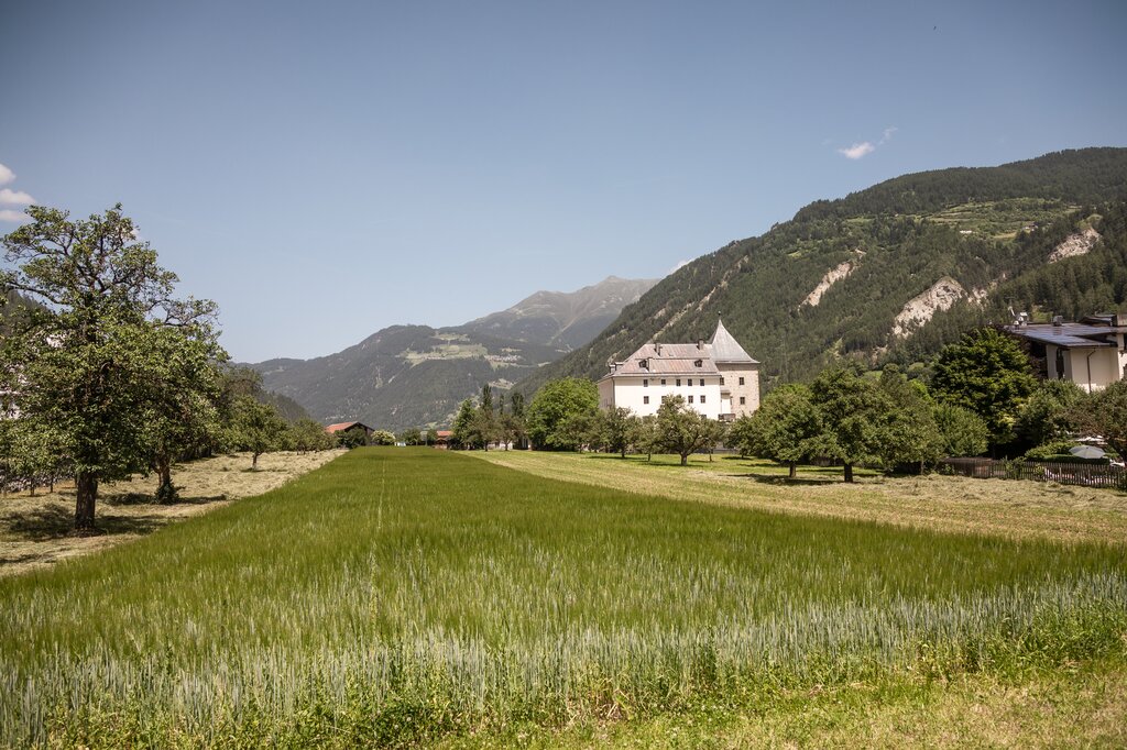
A small village on the upper Inn at about 880 m between Landeck and the Swiss border, its stretch of river a base for rafting and canyoning trips.
- 3Highlights
- 10Routes
Highlights
12 from neighbouring places
Canyoning mit H2O Adventure
Guided canyoning with H2O Adventure from St. Anton am Arlberg, abseiling and sliding through water-carved alpine gorges.
H2O Adventure
A canyoning gorge near Ried im Oberinntal used for guided tours, with pools, slides and abseils in the rock channel.
Rafting mit H2O Adventure
A rafting programme run by H2O Adventure from St. Anton am Arlberg, taking boats down the whitewater of nearby alpine rivers.
Café Obladis
5.9 km away, in Ladis
A café at Obladis, the hamlet in the woods above Ladis known for its old mineral spring, at the quiet edge of Serfaus-Fiss-Ladis.
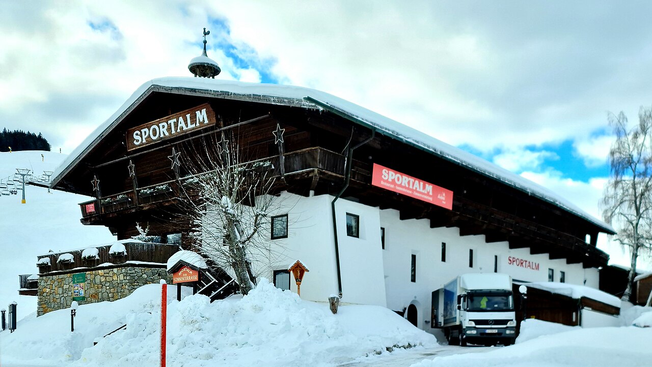
Sportalm
7.5 km away, in Serfaus
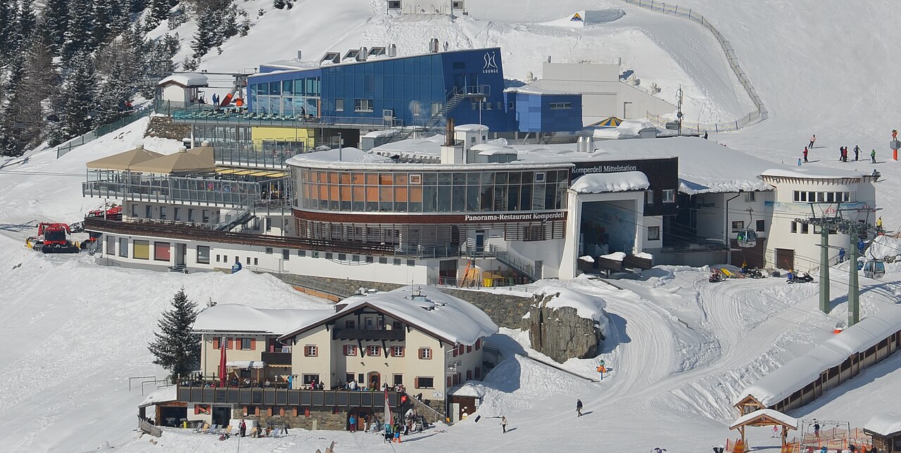
A mountain hut and restaurant in the Komperdell ski sector above Serfaus, in the Serfaus-Fiss-Ladis area of Tirol.
Kölner Haus
7.8 km away, in Serfaus
A mountain hut of the Cologne Alpine Club section on the Komperdell above Serfaus, reachable by lift and a base for walks.
Hugo's Cervosa Alm
7.8 km away, in Serfaus
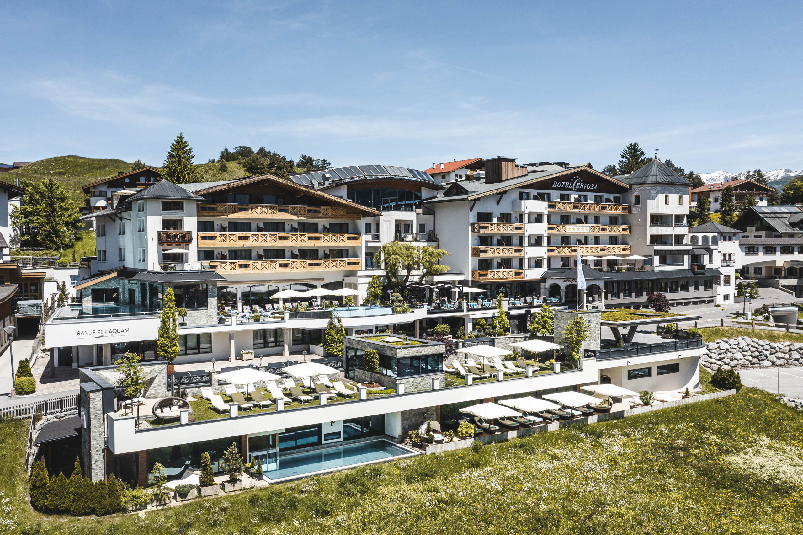
A mountain hut in the Komperdell sector above Serfaus run under the Cervosa name, serving skiers and walkers through the seasons.
Lazidbahn
8.4 km away, in Serfaus
A gondola in the Serfaus lift network rising to the Lazid ridge above the village, giving access to the high walking trails.
Hexensee Hütte
13.9 km away, in Serfaus
A hut beside the small Hexensee lake in the mountains between the Paznaun and Serfaus, reached on ski routes in winter and mountain trails in summer.
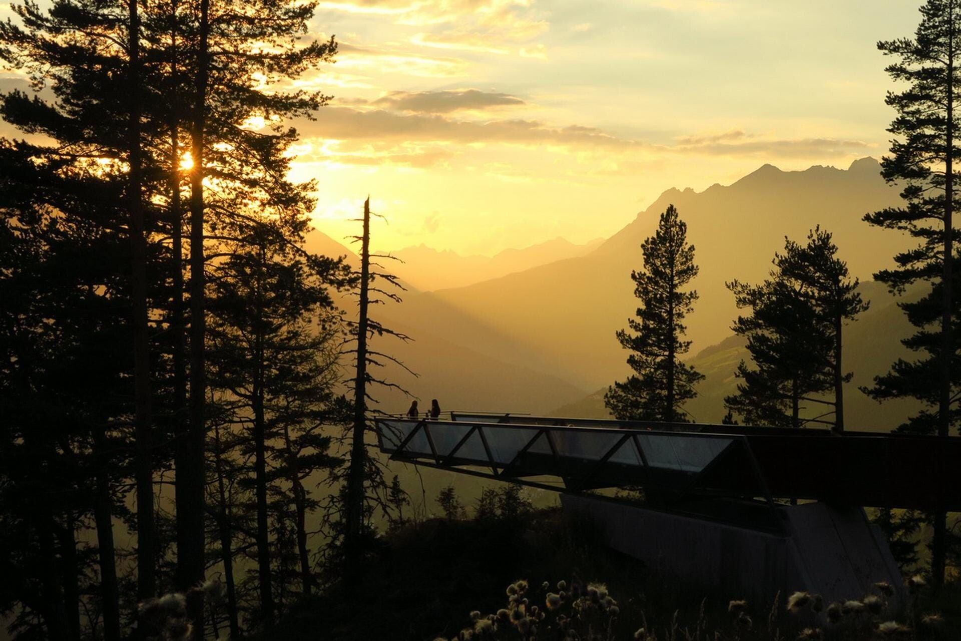
Aussichtsplattform Gacher Blick
9.7 km away, in Fließ
A barrier-free viewing platform on the Piller saddle, projecting over the slope above the Inn valley.
Ausstellung Magie der Vielfalt
9.8 km away, in Fließ
An exhibition at the Piller saddle on the biological diversity of the Kaunergrat nature park.
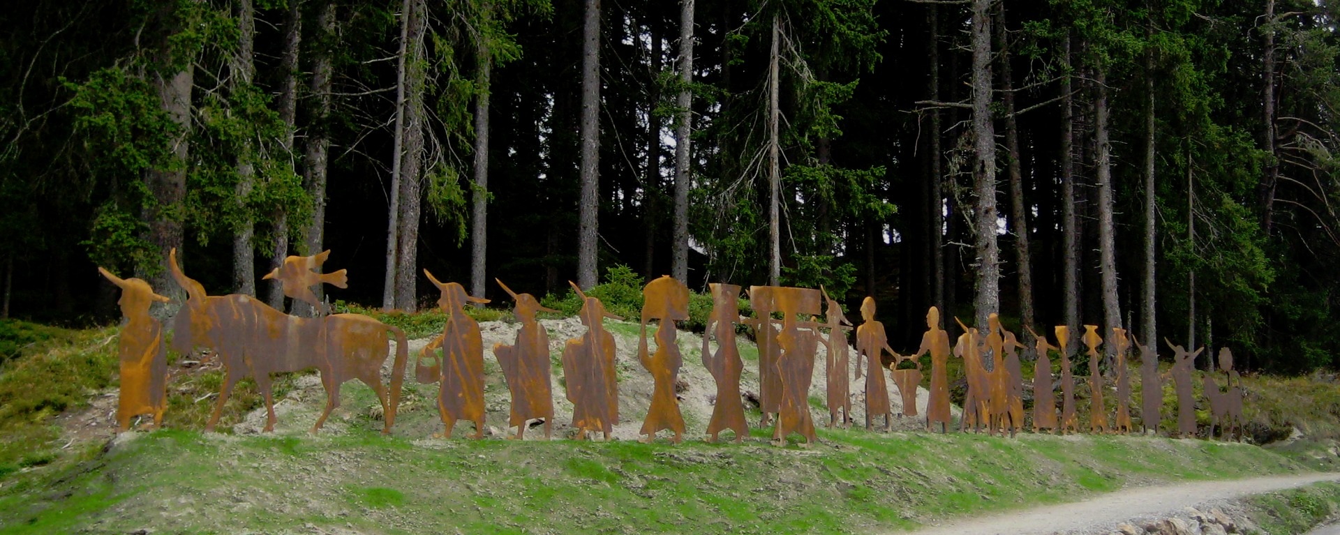
Brandopferplatz Piller Sattel
10 km away, in Fließ
A prehistoric burnt-offering site on the Piller saddle, in use from the Bronze Age into the Roman period.
Piller Moor
10.6 km away, in Fließ
A raised bog on the Piller saddle at about 1,500 m, a protected relic of the post-glacial landscape.
Landschaftsteich Piller
11.3 km away, in Fließ
A small landscaped pond on the Piller saddle, part of the Kaunergrat nature park's visitor area.
Jausenstation Fischteich Piller (1.400 m)
11.7 km away, in Fließ
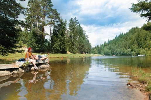
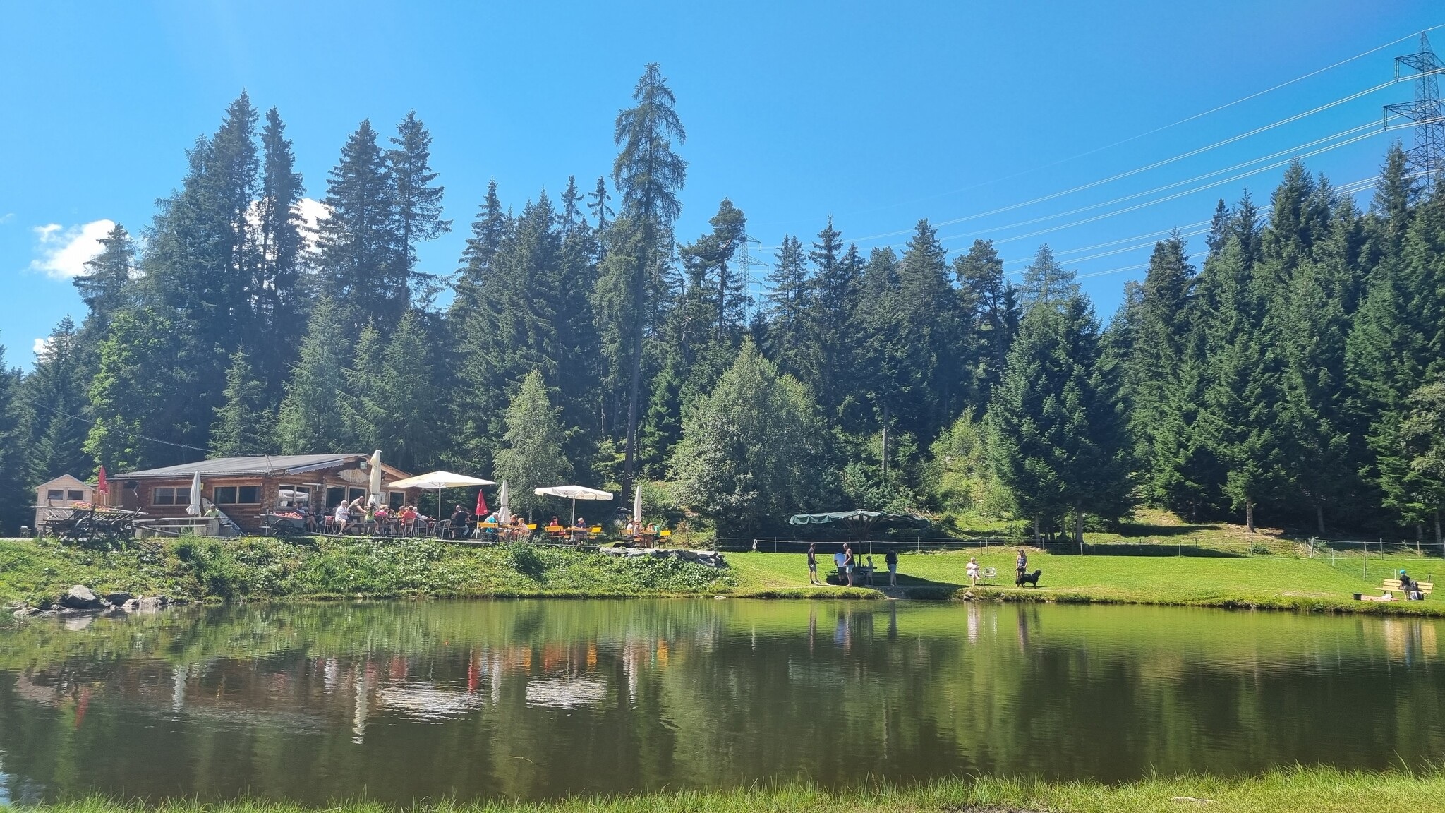
A snack station at 1,400 m beside the fishing pond on the Piller saddle.
 Cable car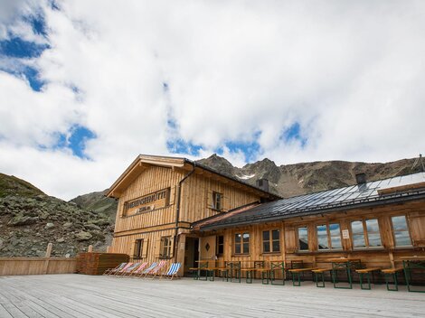
 Viewpoint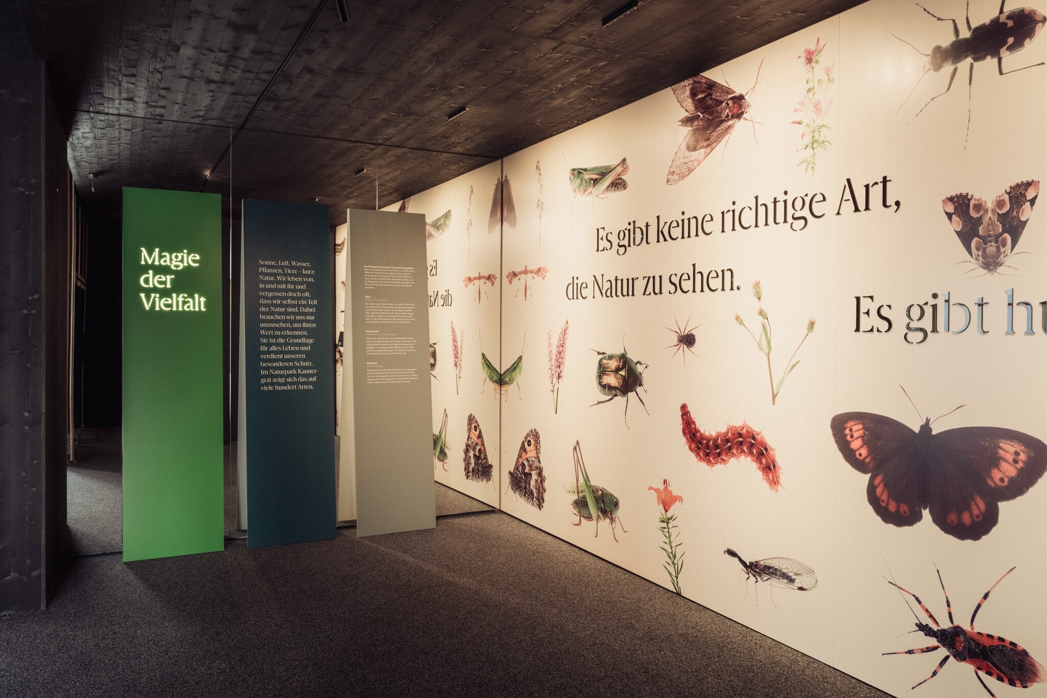
 Historic site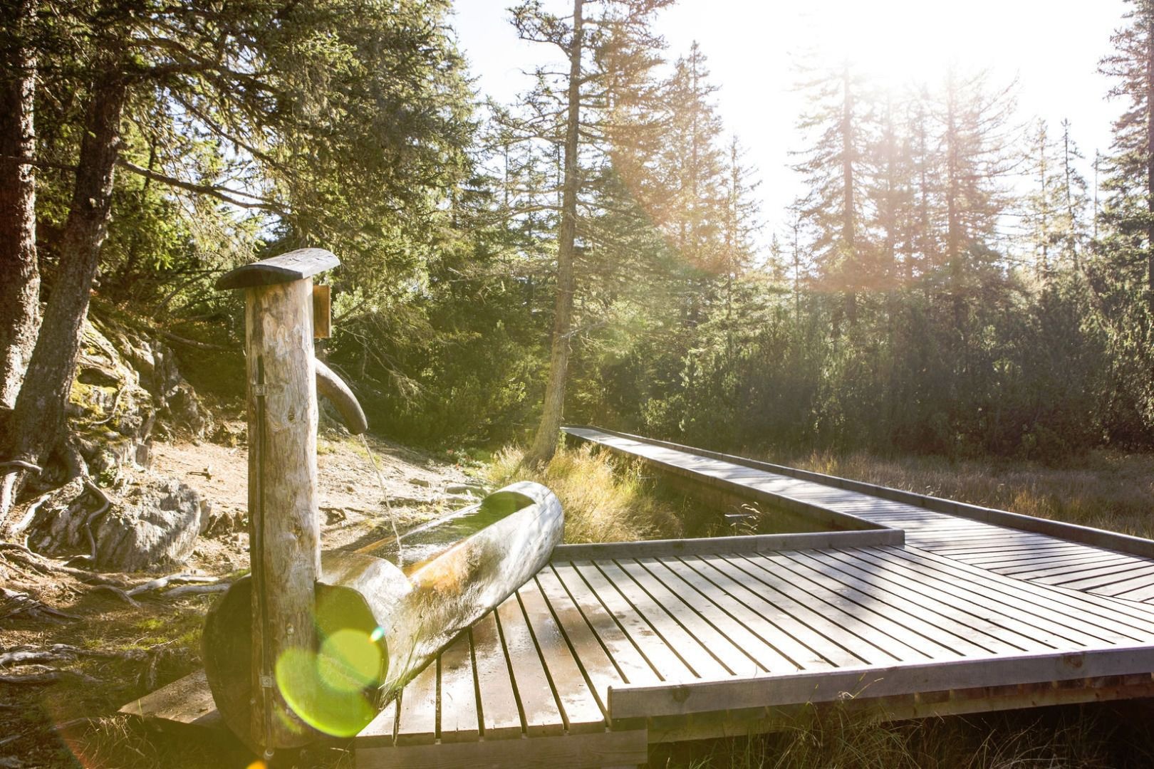
Nothing of this kind in Ried im Oberinntal.
Routes
Pistenskitouren Serfaus-Fiss-Ladis
Grand link-up of the marked piste touring routes across Serfaus, Fiss and Ladis - more than 2,000 m of skinning for a full winter fitness day.
- 22.5 km
- Distance
- 2 084 m
- Ascent
- 2 084 m
- Descent
- 8 h 13 min
- Duration
- 3
- Check-ins
SFL Extrem Tour 7100
Nearly 2,400 m of climbing across the Serfaus-Fiss-Ladis slopes, over the Fisser Joch and up to the Schönjöchl at 2,491 m.
- 57.3 km
- Distance
- 2 369 m
- Ascent
- 7 h 19 min
- Duration
- 133
- Check-ins
Serfaus-Fiss-Ladis Runde
A short but steep circuit on the terrace high above the Oberinntal, linking the three villages by way of the pond at Überwasser.
- 14.8 km
- Distance
- 533 m
- Ascent
- 1 h 49 min
- Duration
- 5
- Check-ins
 Geigaloch Apres Ski 1 216 m
- Infobüro Fiss 1 189 m
 Weiher Überwasser 1 276 m
Kaunertaler Gletscher Runde
A hard road circuit up the Kaunertal glacier road to 2,750 m, one of the highest paved climbs in Tirol.
- 98.7 km
- Distance
- 3 000 m
- Ascent
- 11 h 35 min
- Duration
- 60
- Check-ins
SFL Extrem Enduro Tour 7100
A big enduro traverse across the Fisser Joch and the Schönjoch, both near 2,450 m, with over 2,000 m of climbing in the day.
- 52.3 km
- Distance
- 1 825 m
- Ascent
- 6 h 22 min
- Duration
- 125
- Check-ins
Norbertshöhe Tour
A road circuit over the Norbertshöhe and the Finstermünz pass, past the Via Claudia reservoir.
- 77.4 km
- Distance
- 2 163 m
- Ascent
- 8 h 54 min
- Duration
- 39
- Check-ins
Asterhöfe Tour 759
A long mountain-bike tour off the Serfaus terrace to Prutz and Ried at 870 m in the Oberinntal, then back up through Fiss.
- 29.3 km
- Distance
- 957 m
- Ascent
- 3 h 30 min
- Duration
- 17
- Check-ins
Piller Runde
A long road loop over the Pillerhöhe, dropping to Prutz in the Inn valley and climbing again to Fiss, with over 2,000 m of ascent.
- 83.9 km
- Distance
- 2 090 m
- Ascent
- 9 h 25 min
- Duration
- 33
- Check-ins
Pfunds Runde
A road loop down the Oberinntal to Ried at 875 m and back up through Ladis and Fiss, with a little over 1,000 m of climbing.
- 44.4 km
- Distance
- 1 061 m
- Ascent
- 4 h 57 min
- Duration
- 6
- Check-ins
- Geigaloch Apres Ski 1 216 m
- Infobüro Fiss 1 189 m
- Infobüro Ried 875 m
- Weiher Überwasser 1 276 m
Talrunde
A valley circuit in the Oberinntal between Ried and Prutz, passing the campsite at the Dreiländereck and the lake restaurant at 883 m.
- 42.9 km
- Distance
- 750 m
- Ascent
- 4 h 31 min
- Duration
- 6
- Check-ins


No routes of this kind in Ried im Oberinntal yet.
Planning a trip to Ried im Oberinntal?
Everything else Tyrol has, in one place


Take Ried im Oberinntal with you into the mountains
Every route on this page with 3D terrain, GPX navigation and offline maps — including the valleys with no signal.
Data sources
- Official website: stantonamarlberg.com ↗
- Routes and highlights: Serfaus-Fiss-Ladis, Tourismusverband Pitztal, St. Anton am Arlberg, TVB Paznaun-Ischgl
- Published as open data by the tourist boards named above.
- Region summary generated from the board's own material.
