
Curated by Kaiserwinkl Tourismus
Rettenschöss
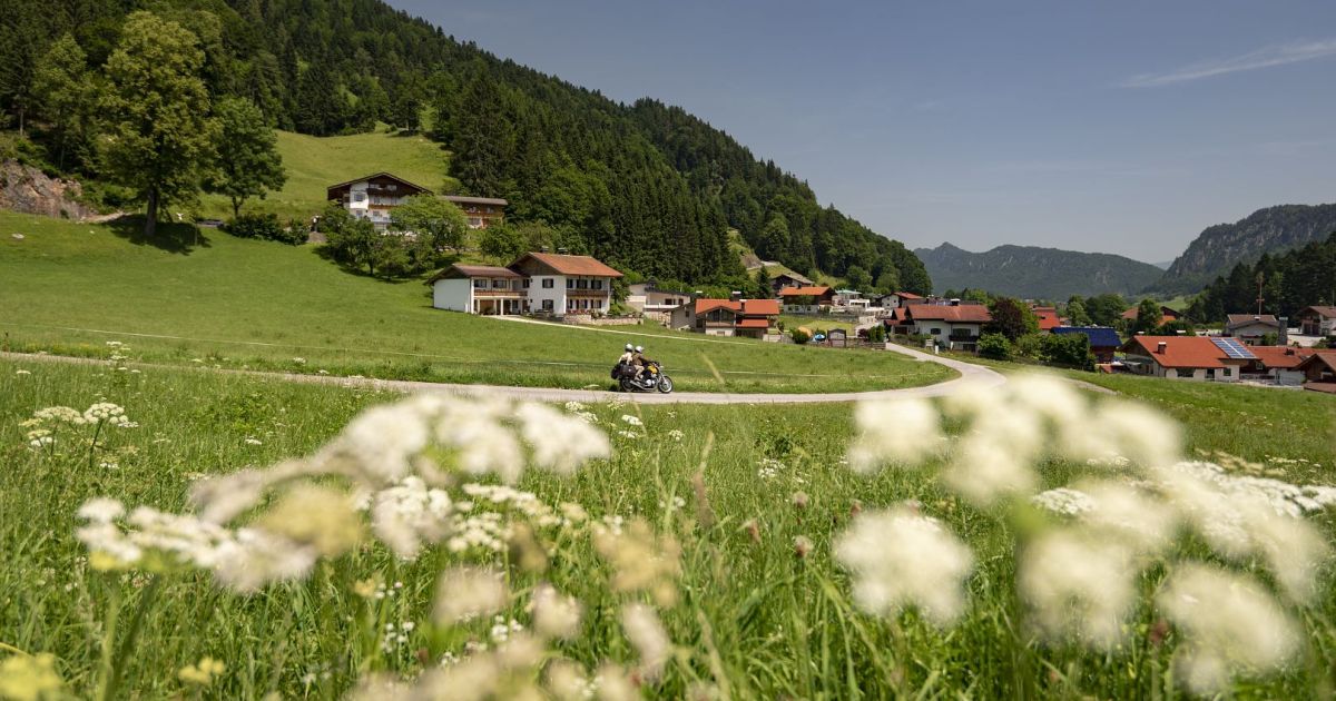
Upland farm hamlets at 685 m in the Untere Schranne on the edge of the Kaiserwinkl, looking across the border hills into Bavaria.
- 5Highlights
- 26Routes
- Featured summit · Brennkopf
Highlights
10 from neighbouring places
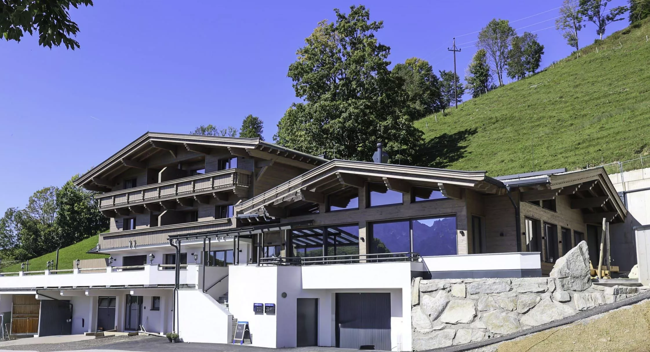
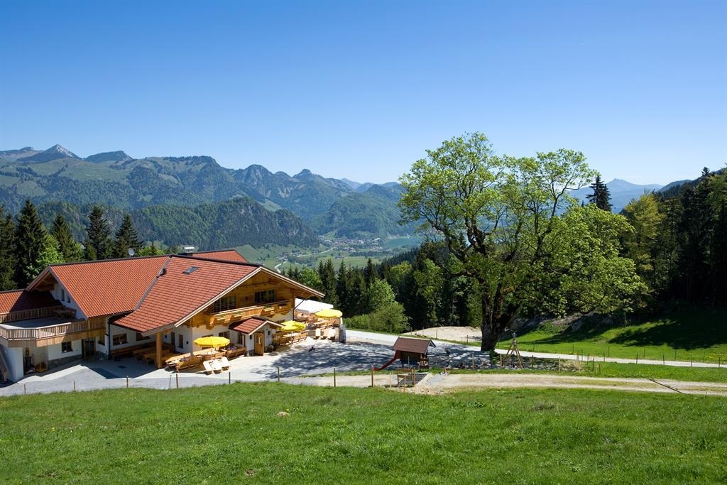
Gasthof Schöne Aussicht
A country inn above Rettenschöss whose name means fine view, serving Austrian home cooking overlooking the Kaiserwinkl countryside.
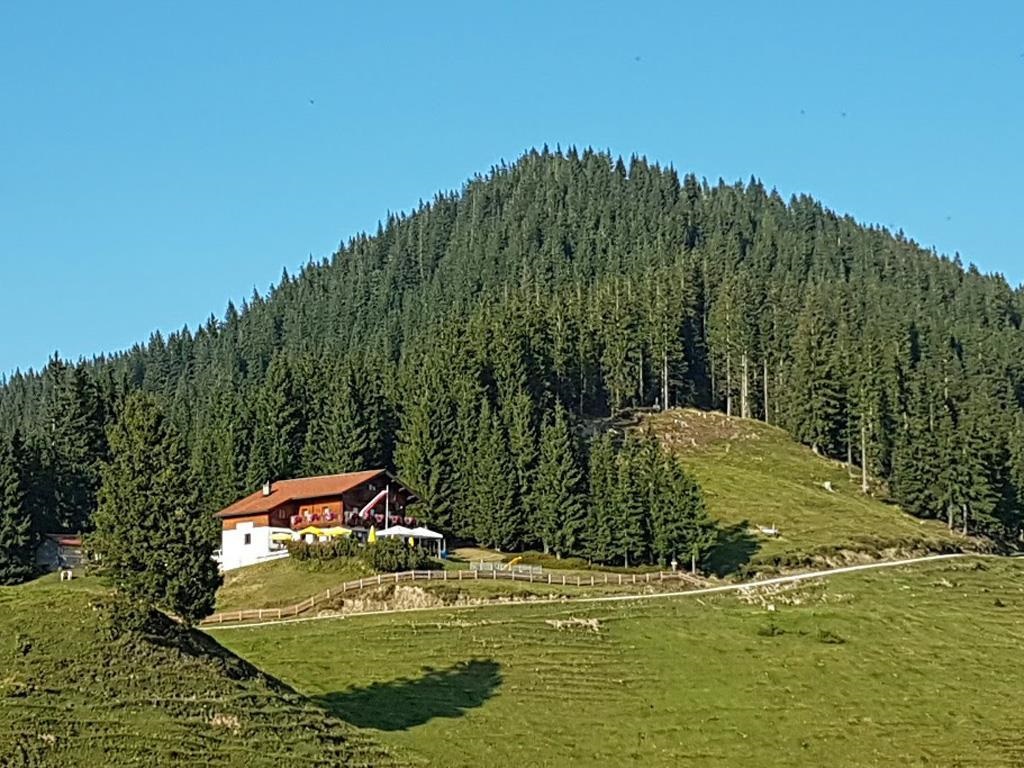
Wandberghütte
A mountain hut on the Wandberg above Rettenschöss, serving regional food with views across the Inn valley and the Kaiserwinkl.
Wildbichlalm
An alm near the Wildbichl pass above Rettenschöss, close to the Bavarian border, serving regional dishes to walkers and cyclists.
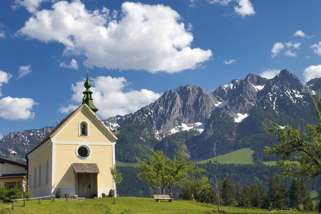
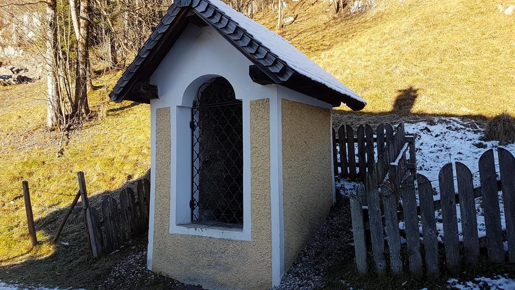
Antoniuskapelle Rettenschöss
A chapel dedicated to St Anthony in Rettenschöss, a small Kaiserwinkl village at 685 m between the Inn valley and the Walchsee.
Burgeralm
A pasture hut above Rettenschöss in the Kaiserwinkl, serving snacks and regional dishes through the alpine summer.
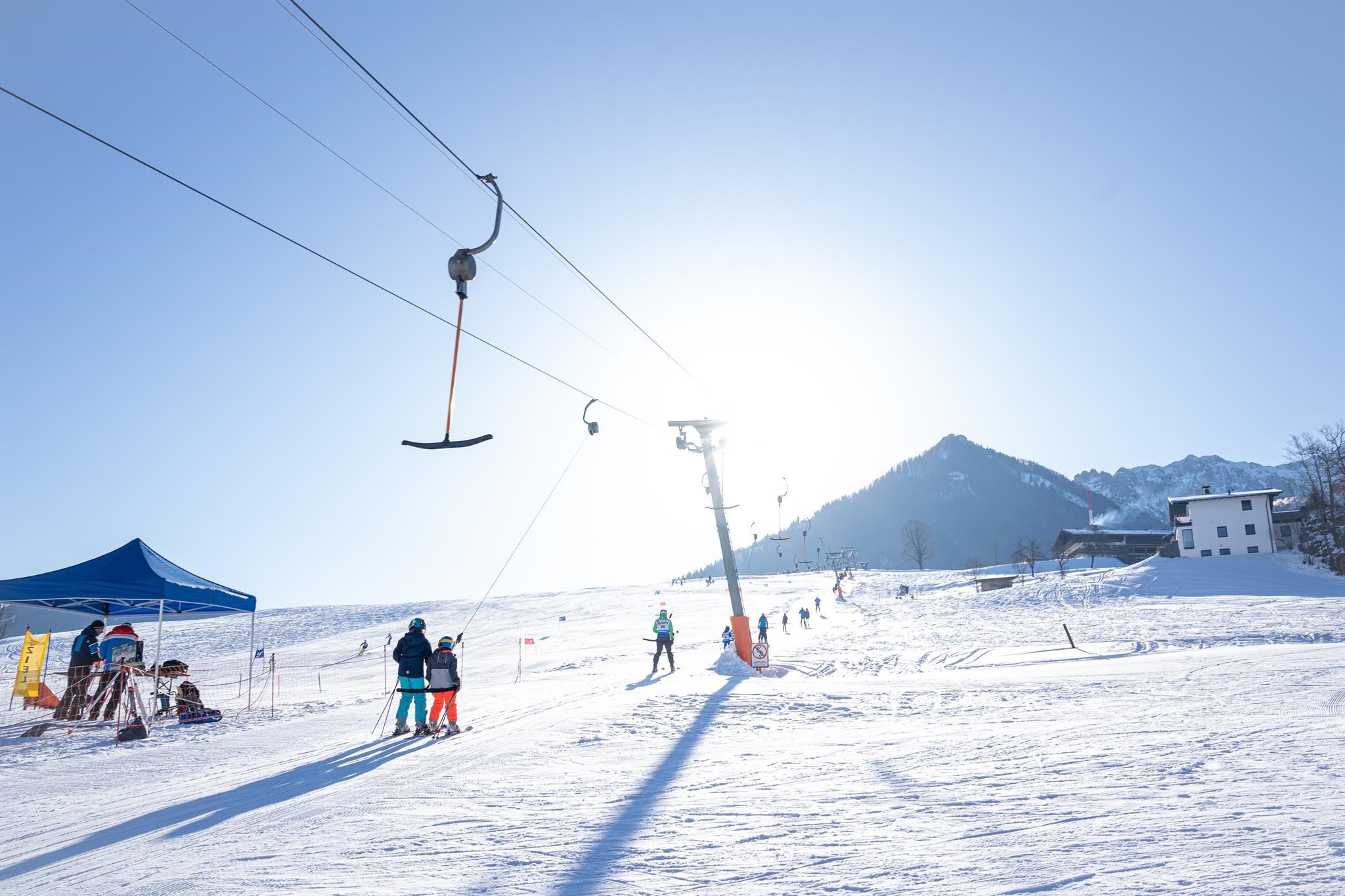
Schlepplift Amberg
3.2 km away, in Walchsee
A drag lift on the Amberg slope at Walchsee, a small ski hill suited to beginners and families in the Kaiserwinkl.
Ölbergkapelle Walchsee
3.3 km away, in Walchsee
A chapel in Walchsee dedicated to the Mount of Olives scene, a traditional devotional station near the village centre.
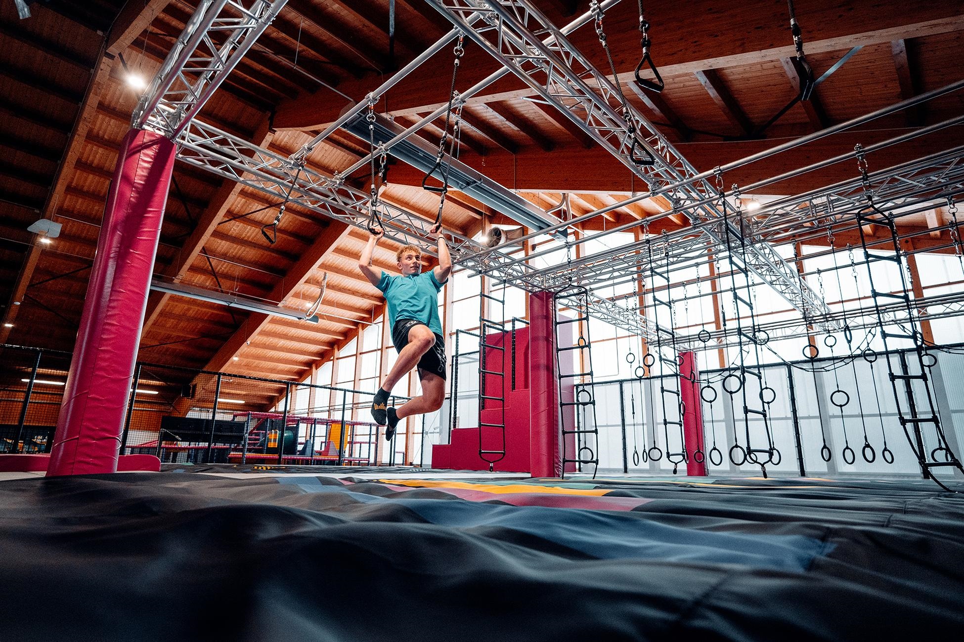
Trampolinpark "Zahmer Kaiser"
3.4 km away, in Walchsee
A trampoline park at the Zahmer Kaiser recreation area near Walchsee, part of the resort's family activities at the foot of the mountains.
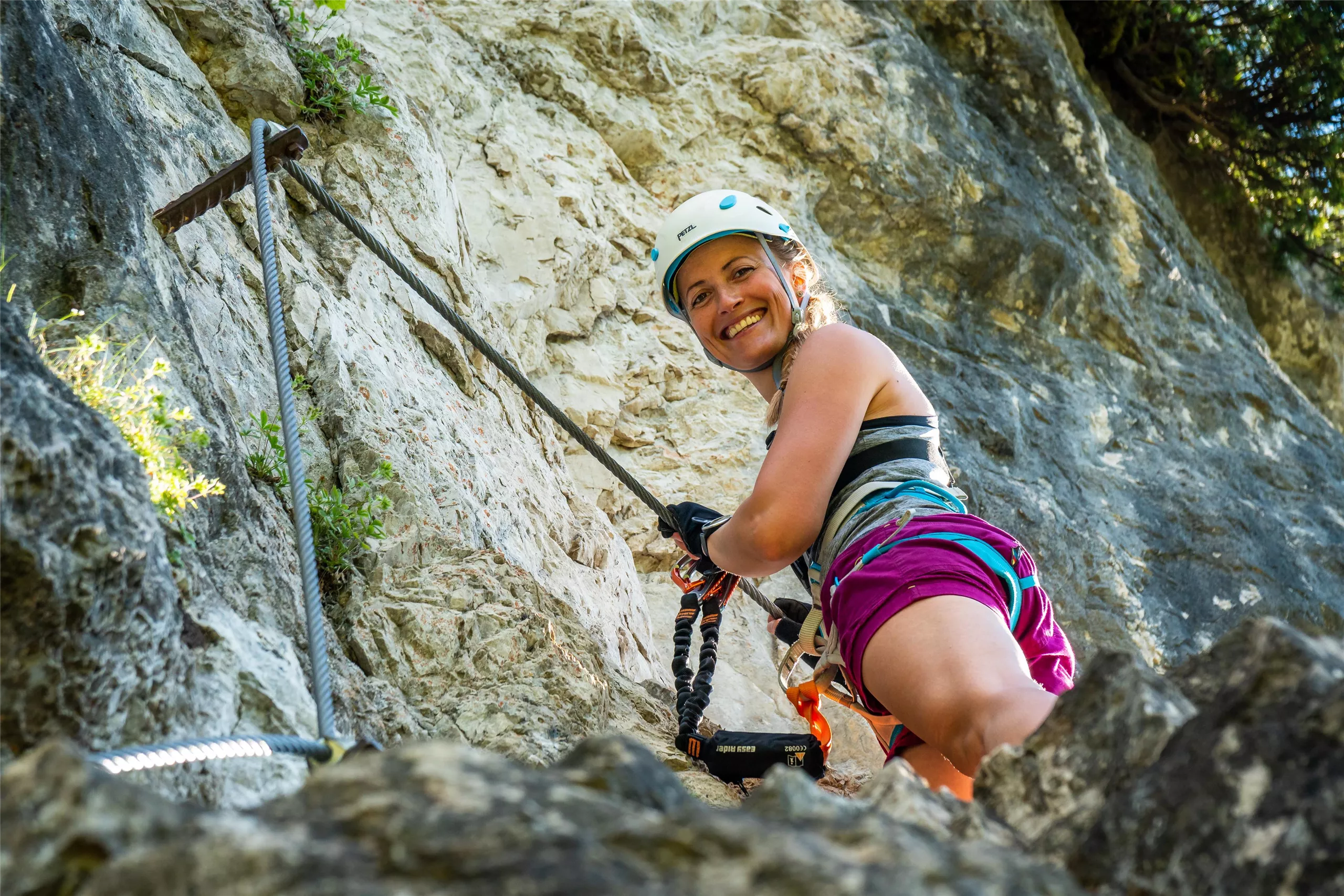
Kletterarena Kaiserwinkl
3.6 km away, in Walchsee
A climbing facility at Walchsee in the Kaiserwinkl, with walls and routes used for sport climbing practice and courses.
Pfarrkirche Walchsee
3.7 km away, in Walchsee
The parish church of Walchsee, standing in the village centre a short walk from the lake shore in the Kaiserwinkl.
Johanneskapelle Walchsee
3.9 km away, in Walchsee
A small chapel dedicated to St John in the village of Walchsee, close to the lake shore in the Kaiserwinkl.
Badeplatz Seepromenade
4.2 km away, in Walchsee
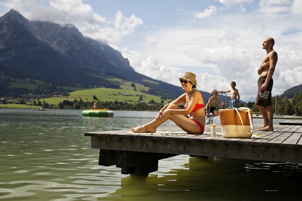
A bathing spot on the lakeside promenade of the Walchsee in the Kaiserwinkl, with boat hire, stand-up paddling and a playground close by.
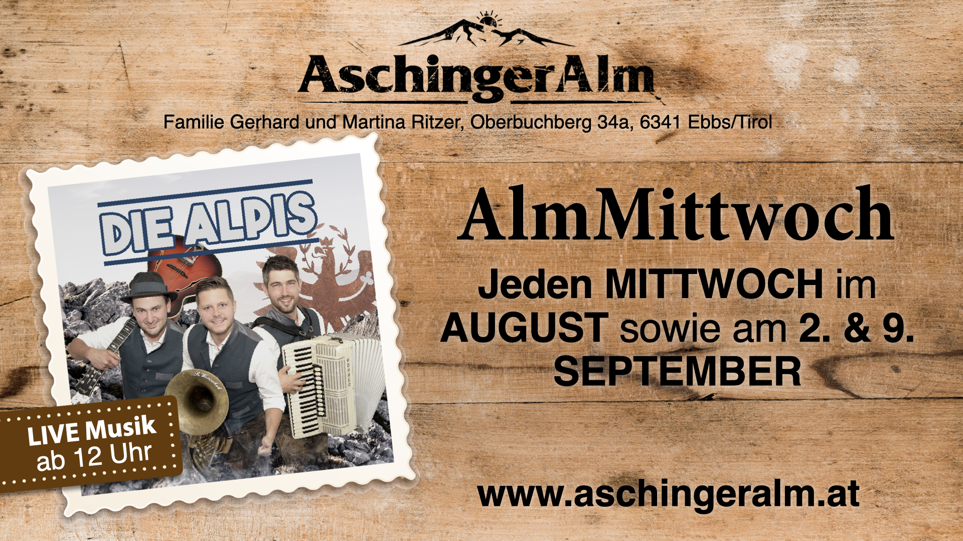
Alpengasthof Aschinger Alm
4.2 km away, in Ebbs
An alpine inn above Ebbs at the foot of the Zahmer Kaiser, serving regional dishes to walkers and cyclists on the gentler side of the Kaiser range.
Käserei und Berggasthof Aschinger Alm
4.2 km away, in Ebbs
A cheese dairy and mountain inn at the foot of the Zahmer Kaiser in the Kaiserwinkl, producing and serving its own alpine cheese.
Waldspielpark Zahmer Kaiser
4.4 km away, in Walchsee
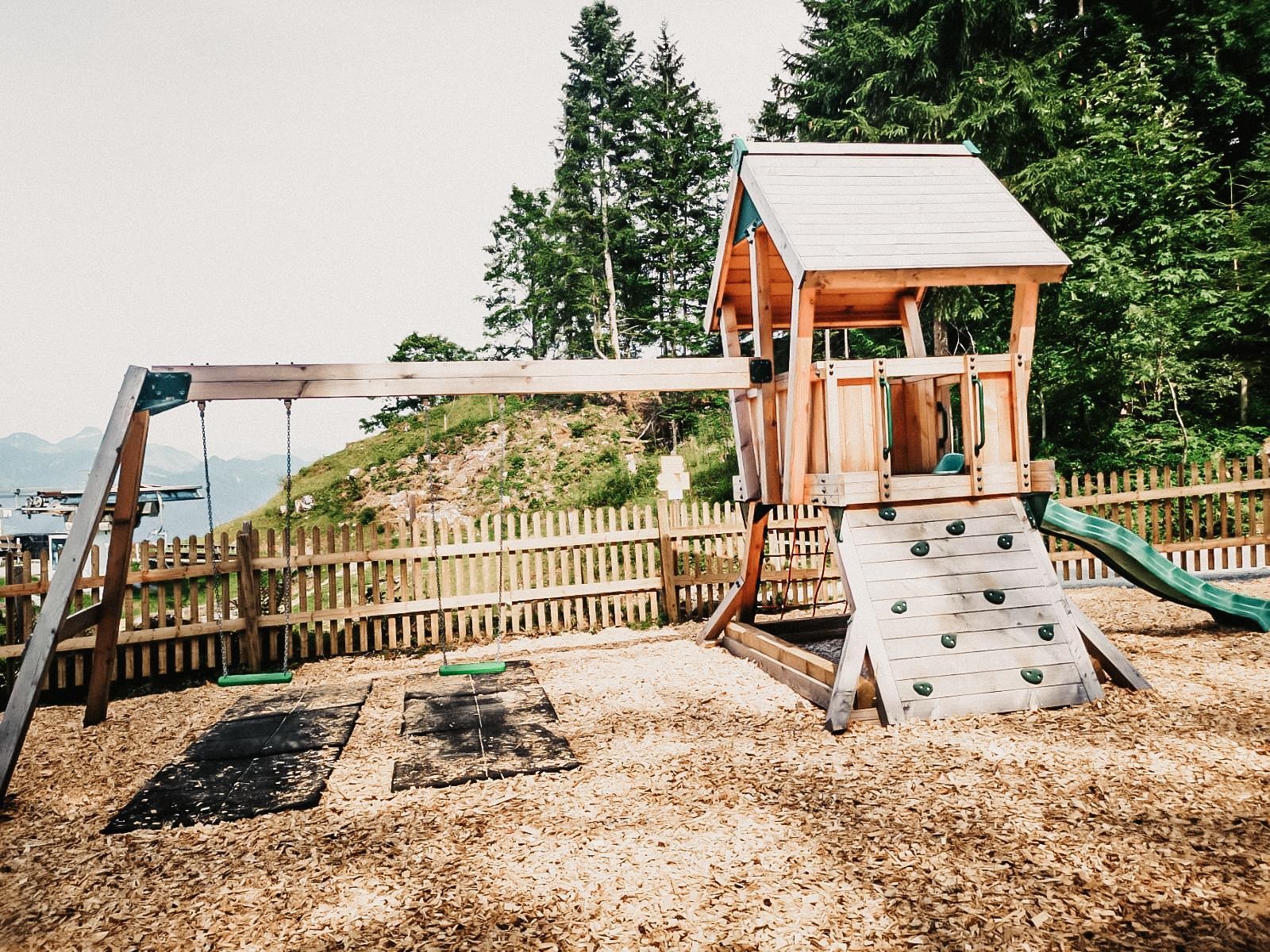
A forest play park at the foot of the Zahmer Kaiser near Walchsee, with play stations for children set among the trees.

 Historic site
 Cable car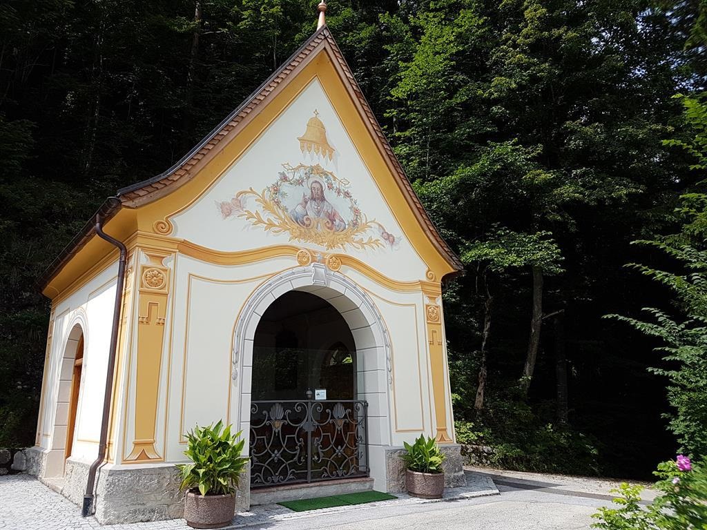
 Via ferrata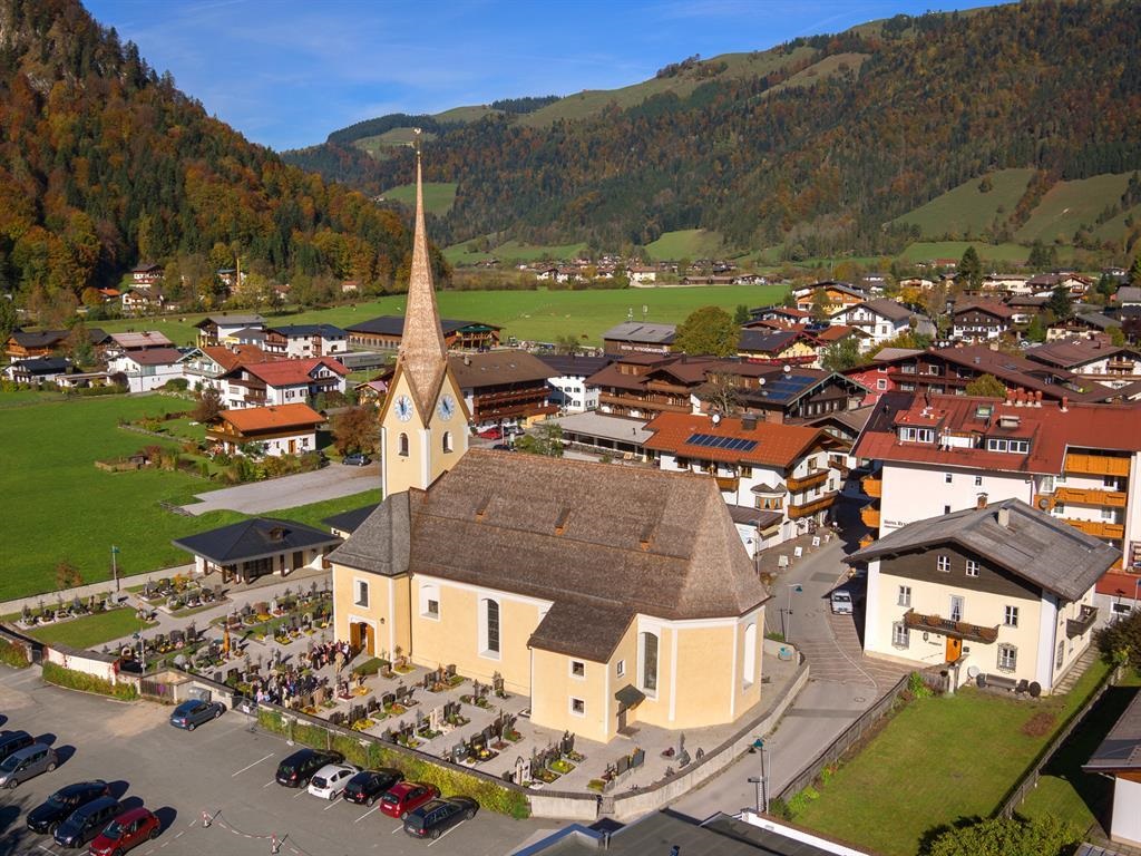
Nothing of this kind in Rettenschöss.
Routes
Gasthaus Schöne Aussicht - Wildbichlalm
The steep part comes first, right behind the inn; after 100 m of climbing the path runs almost level over pasture and through woods to the Wildbichl Alm above the Inntal.
- 2.2 km
- Distance
- 115 m
- Ascent
- 45 min
- Duration
- 14
- Check-ins
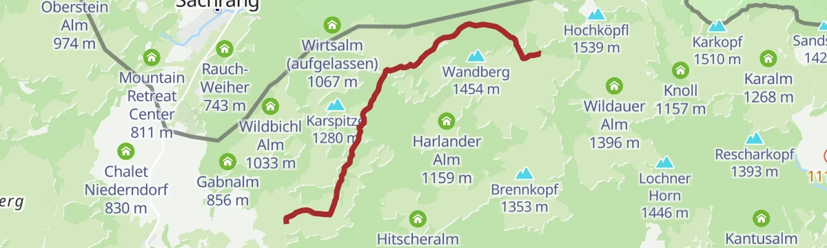
Schöne Aussicht- Wildbichlam - Wandberg
Ridge walk on paths 14b and 14 from the Wildbichl Alm to the Wandberg, returning by the Rettenbachalm and the Burgerhütte dairy.
- 11.5 km
- Distance
- 541 m
- Ascent
- 4 h 2 min
- Duration
- 16
- Check-ins
Viergipfelrunde von Rettenschöss
Demanding four-summit round from Rettenschöss over the Brennkopf and its neighbouring tops, stringing together the Kar Alm, Hitscheralm and Rettenbachalm.
- 15.6 km
- Distance
- 820 m
- Ascent
- 5 h 54 min
- Duration
- 17
- Check-ins
Skitourengebiet Wandberg / Geigelstein
Ski-touring terrain spanning the Wandberg and Geigelstein on the Tyrol-Bavaria border, long pasture ascents offering several summit choices per outing.
- 24.0 km
- Distance
- 2 174 m
- Ascent
- 2 174 m
- Descent
- 8 h 42 min
- Duration
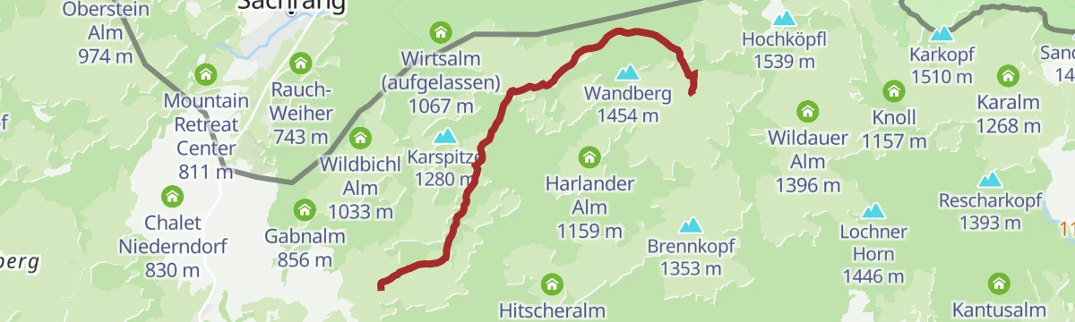
Rettenschöss - Karspitze - Feistenau
A forest-road tour above Rettenschöss taking in the Wildbichl Alm, Rettenbachalm and Gabnalm before the drop to the far side.
- 13.6 km
- Distance
- 700 m
- Ascent
- 1 h 56 min
- Duration
- 15
- Check-ins
Sudelfeldrunde
A very long tour from Walchsee across the Sudelfeld pass at 1,123 m, taking in the Grüne Gumpe and the Feuriger Tatzlwurm.
- 77.7 km
- Distance
- 1 187 m
- Ascent
- 8 h 1 min
- Duration
- 57
- Check-ins
 Walchsee 659 m
 Grüne Gumpe 909 m
- Brösel Alm 1 112 m
- Gasthof Hummelei 662 m
 Sudelfeldpass 1 123 m
- Drachenresidenz 762 m
- +17
16 | Radweg Wildbichl
A short surfaced climb out of Rettenschöss, passing the Schönstattkapelle, with under 300 m of height gain in total.
- 9.5 km
- Distance
- 298 m
- Ascent
- 1 h 7 min
- Duration
8 Rund um den Wilden Kaiser
A long road circuit of the Wilder Kaiser from Ellmau, running out to Walchsee and back by way of Kitzbühel and the Ellmauer Alm.
- 87.9 km
- Distance
- 1 199 m
- Ascent
- 8 h 56 min
- Duration
- 31
- Check-ins
Wildbichlalm
Easy ascent on path 14 by the Gabnalm to the Wildbichl Alm, 330 m of climbing in under 5 km.
- 4.9 km
- Distance
- 292 m
- Ascent
- 2 h 2 min
- Duration
- 11
- Check-ins
Rettenschöss - Wildbichlalm
Short, steep climb from Rettenschöss to the Wildbichl Alm, gaining 370 m in barely three kilometres; the Gabnalm sits just off the route.
- 3.2 km
- Distance
- 300 m
- Ascent
- 1 h 20 min
- Duration
- 11
- Check-ins
Rettenschöss - Wandberg
A steep, short forest-road climb from Rettenschöss to the Wandberghütte, nearly 800 m of ascent in just over 7 km.
- 7.2 km
- Distance
- 796 m
- Ascent
- 1 h 22 min
- Duration
- 9
- Check-ins
Kranzhorn
A long forest-road climb from Walchsee to the Schutzhütte at 1,230 m, by way of the Hintermoar-Alm and the Spadau-Ottenalm.
- 43.4 km
- Distance
- 1 366 m
- Ascent
- 5 h 9 min
- Duration
- 25
- Check-ins
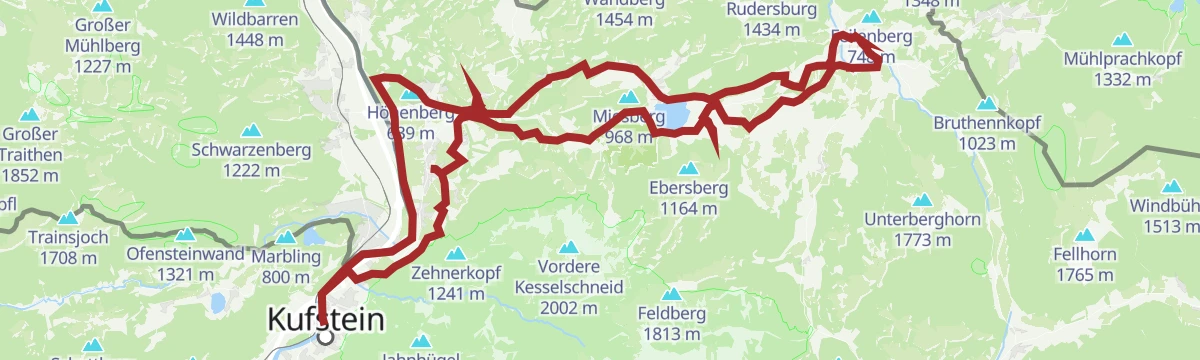
07 - Weltcup-Runde Bayern-Tirol
A long road loop between Bavaria and Tyrol, linking Kufstein with Walchsee and returning past the farms of Aschenau on the Tyrolean side.
- 88.1 km
- Distance
- 955 m
- Ascent
- 8 h 43 min
- Duration
- 18
- Check-ins
Rettenschöss - Gasthof Schöne Aussicht - Wandberghütte
Walk on path 47a from Rettenschöss past the inn to the Wandberghütte, marked in winter as snowshoe route 5.
- 4.7 km
- Distance
- 364 m
- Ascent
- 1 h 42 min
- Duration
- 9
- Check-ins
Feistenau - Karspitze - Wandberg Rundwanderung
Circuit from the Feistenau hamlet under the Karspitze to the Wandberg pastures, calling at the Kar Alm, Rettenbachalm and the Almkäserei Burgerhütte cheese hut.
- 11.4 km
- Distance
- 495 m
- Ascent
- 3 h 53 min
- Duration
- 7
- Check-ins
Kaiserweis Genussradrunde Kufstein- Kössen
A long day's round from Kufstein to Kössen and back, running below the north face of the Kaiser and past the Seemühle campsite.
- 71.8 km
- Distance
- 558 m
- Ascent
- 6 h 54 min
- Duration
- 14
- Check-ins
17 - Walchsee Runde
A long day on the road from Kufstein out to Walchsee and back, passing the Panorama Lodge above the lake and Cafe Zacherl.
- 46.1 km
- Distance
- 798 m
- Ascent
- 4 h 50 min
- Duration
- 15
- Check-ins
Dorfrunde Rettenschöss
Relaxed village round through Rettenschöss's scattered farms and meadows — an easy lap on quiet lanes with the Kaiser mountains on the horizon.
- 5.7 km
- Distance
- 127 m
- Ascent
- 1 h 39 min
- Duration
Rettenschöss Feistenau - Wandberghütte/Burgeralm
Steady pasture climb from Feistenau up to the Wandberghütte and the Almkäserei Burgerhütte, where alpine cheese is made through the summer.
- 4.6 km
- Distance
- 353 m
- Ascent
- 1 h 40 min
- Duration
- 4
- Check-ins
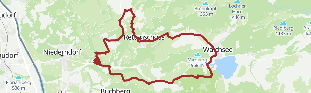
Rettenschöss - Wildbichl - Buchbergrunde
A hill round west of the lake at Walchsee, passing the Schönstattkapelle at 746 m and returning along the shore by the Seespitz campsite.
- 21.5 km
- Distance
- 314 m
- Ascent
- 2 h 12 min
- Duration
- 14
- Check-ins
Kaiserweis‘ Genussradroute Kaiserweis‘ pur
A full day of road cycling linking Walchsee, Kössen and Kufstein below the north face of the Kaisergebirge.
- 71.8 km
- Distance
- 890 m
- Ascent
- 7 h 13 min
- Duration
- 14
- Check-ins
Öko-Kultur-Weg
An easy themed walk on ecology and local culture near Rettenschöss, passing the Rauch-Weiher pond and running on towards Sachrang.
- 5.9 km
- Distance
- 182 m
- Ascent
- 1 h 50 min
- Duration
Kaiserwinkl - Challenge Strecke
A long circuit through the Kaiserwinkl on forest roads, starting at the lake in Walchsee and passing the Capella Verticale viewpoint.
- 43.5 km
- Distance
- 429 m
- Ascent
- 4 h 15 min
- Duration
- 11
- Check-ins
Kaiserweis‘ Genussradroute Genuss & Kultur
A long road tour from Kufstein through the Kaiserwinkl, passing the Blaue Quelle spring and climbing to the Schönstattkapelle above Niederndorf.
- 58.1 km
- Distance
- 1 160 m
- Ascent
- 6 h 15 min
- Duration
- 8
- Check-ins
Walchsee - Spitzsteinhaus
A long climb out of the Kaiserwinkl to the mountain inn on the Spitzstein, returning past the climbing crags near Hupfen.
- 35.3 km
- Distance
- 762 m
- Ascent
- 3 h 51 min
- Duration
- 8
- Check-ins
A1 - Genussradeln bis zum Walchsee
A long valley ride from the Kufstein basin east to the Walchsee, finishing near the Amberglift and the Liftstüberl.
- 45.6 km
- Distance
- 516 m
- Ascent
- 4 h 32 min
- Duration
- 7
- Check-ins







No routes of this kind in Rettenschöss yet.
The region's own picks
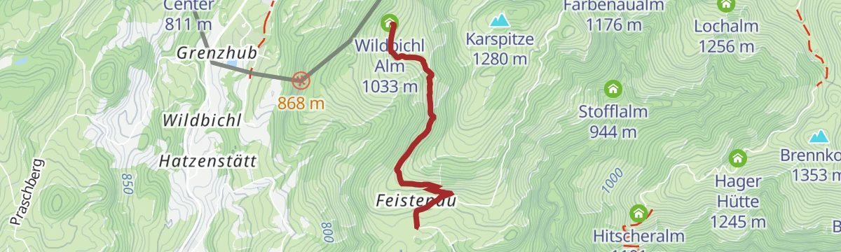
Featured route
Gasthaus Schöne Aussicht - Wildbichlalm
The steep part comes first, right behind the inn; after 100 m of climbing the path runs almost level over pasture and through woods to the Wildbichl Alm above the Inntal.
Planning a trip to Rettenschöss?
Everything else Tyrol has, in one place


Take Rettenschöss with you into the mountains
Every route on this page with 3D terrain, GPX navigation and offline maps — including the valleys with no signal.
Data sources
- Official website: kaiserwinkl.com ↗
- Routes and highlights: Kaiserwinkl Tourismus, Kufsteinerland, Kitzbühel Tourismus
- Published as open data by the tourist boards named above.
- Region summary generated from the board's own material.
