
 Historic site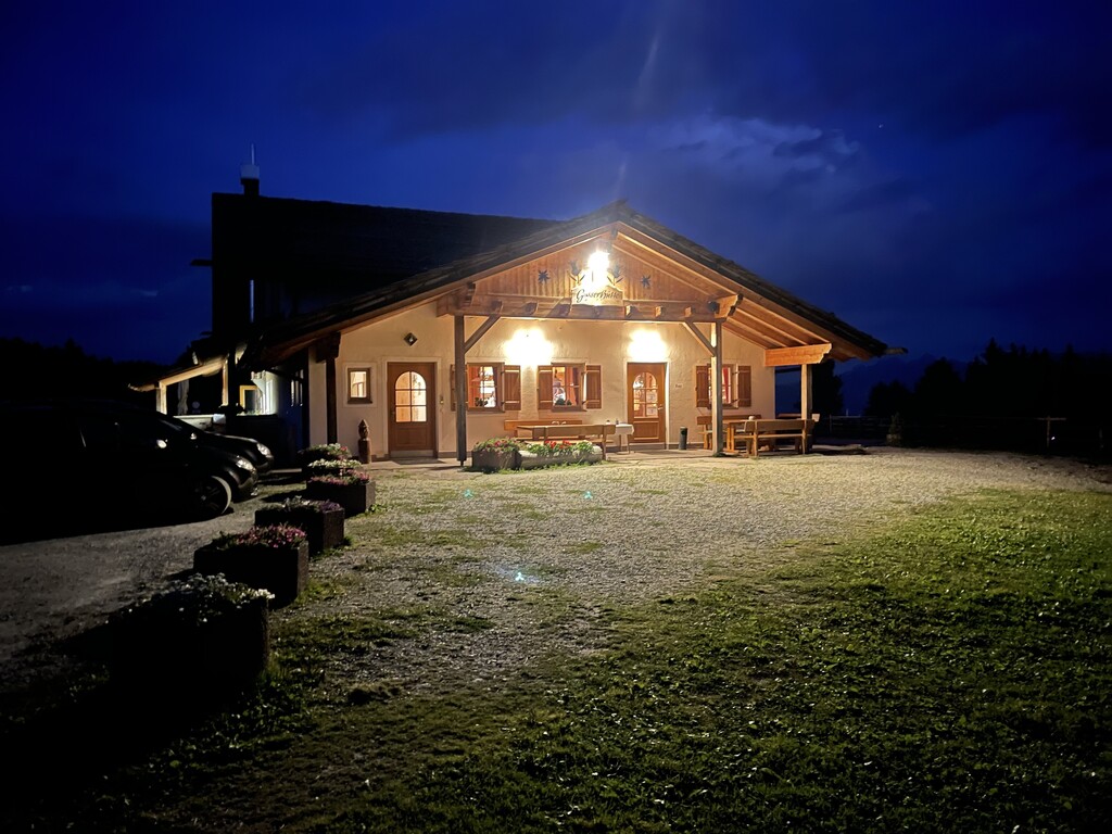








Curated by Sterzing, Pfitsch und Freienfeld
Renon/Ritten
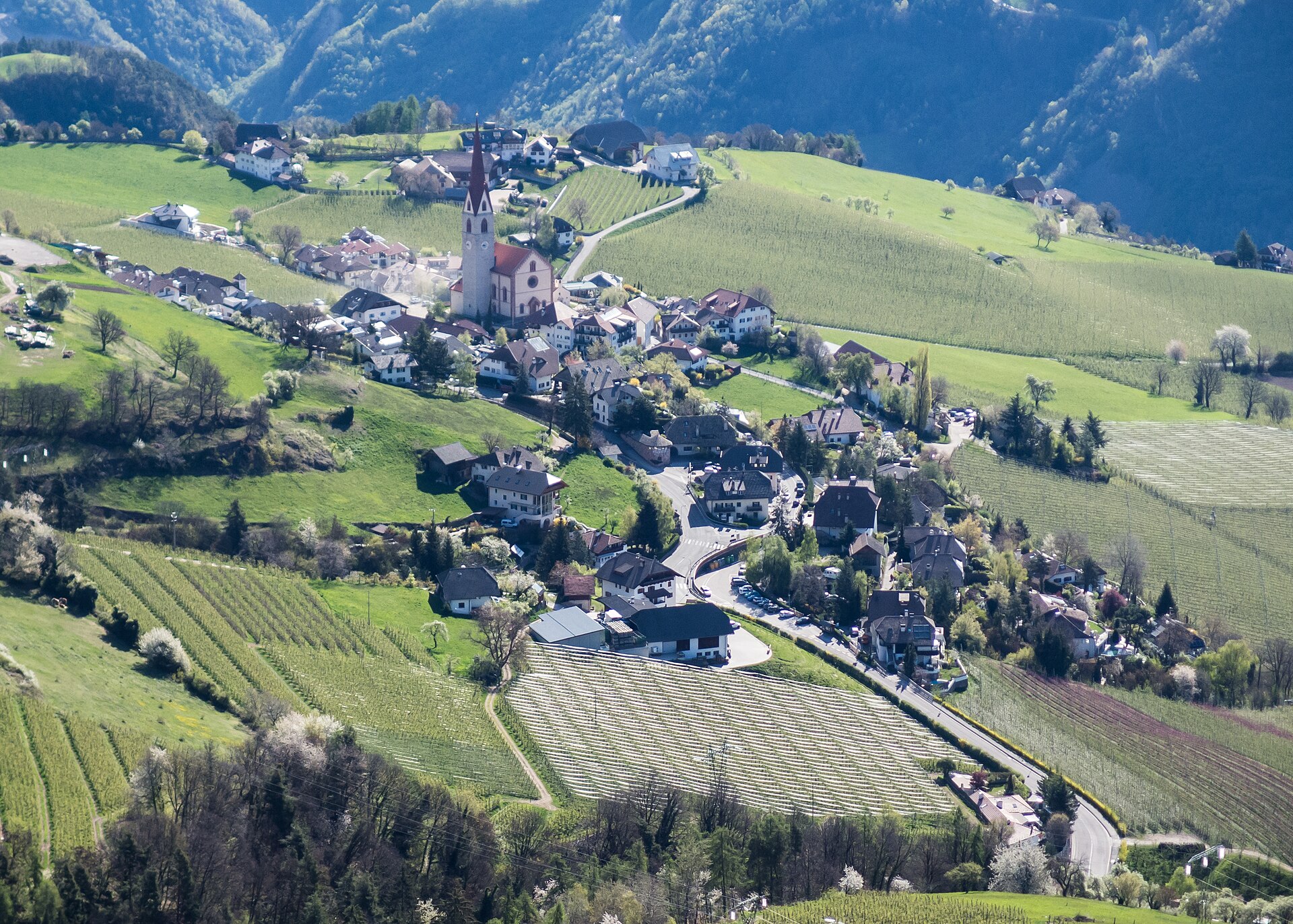
The plateau above Bolzano reached by cable car, with its earth pyramids and the Corno del Renon ridge.
- 15Highlights
- 8Routes
- Featured summit · Rittner Horn
Highlights
All 15 from neighbouring places
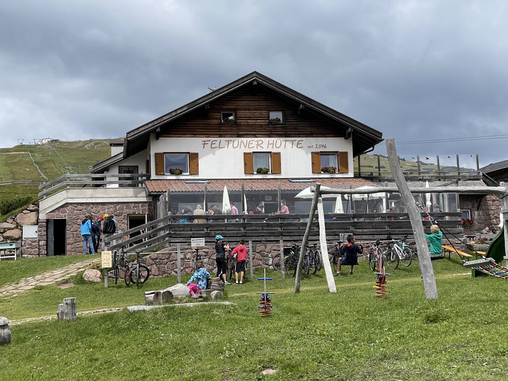
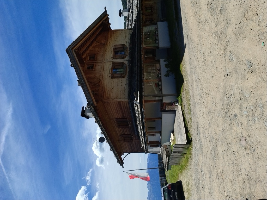
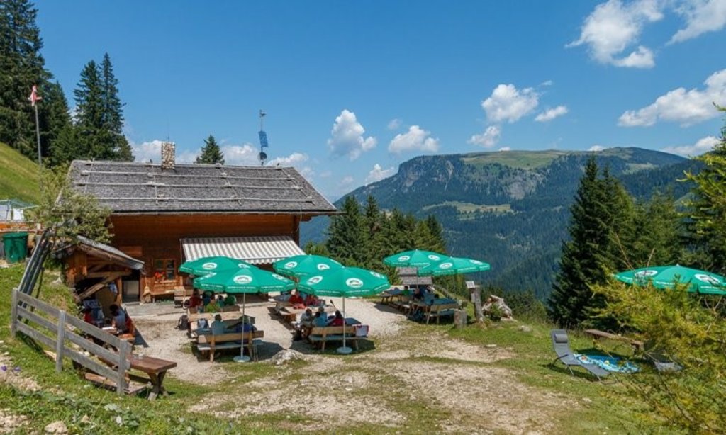
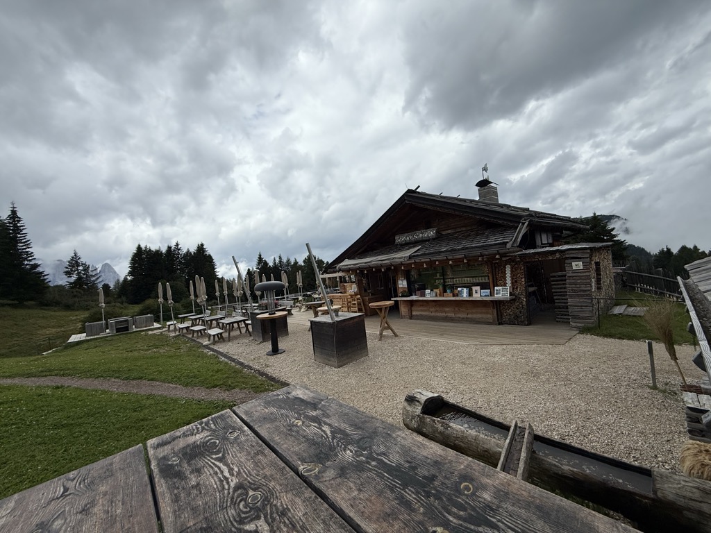
Feltuner Hütte
4.8 km away, in Barbiano/Barbian
A hut on the pastures above Barbiano, below the long ridge of the Corno di Renon in the Alpi Sarentine.
Sterzing, Pfitsch und FreienfeldBaita Feltuner
4.8 km away, in Barbiano/Barbian
A baita on the slopes above Barbiano, on the way up from the Val Isarco towards the Corno di Renon.
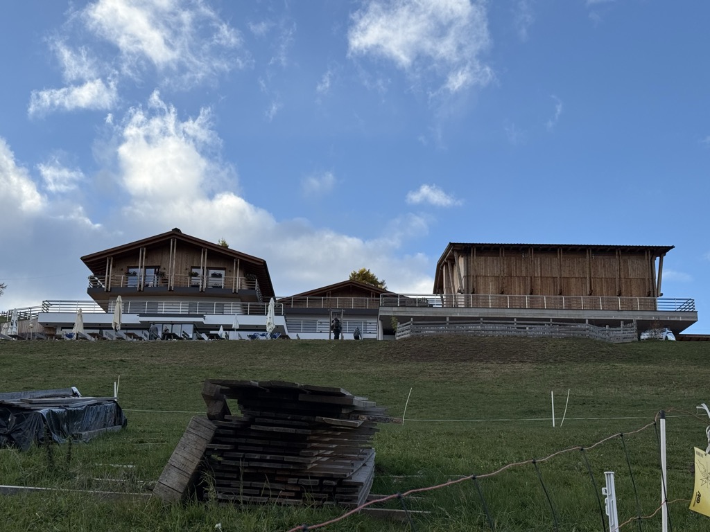
Schutzhaus Rittner Horn
5.9 km away, in Barbiano/Barbian
A refuge just below the summit of the Corno di Renon above Barbiano, reached from the Pemmern chairlift or on foot from Renon.
Sterzing, Pfitsch und FreienfeldMini - Sentiero delle Stelle a Collepietra
8.8 km away, in Cornedo all'Isarco/Karneid
A short themed walk on the planets at Collepietra, the star village above the Val d'Ega, beside the local planetarium.
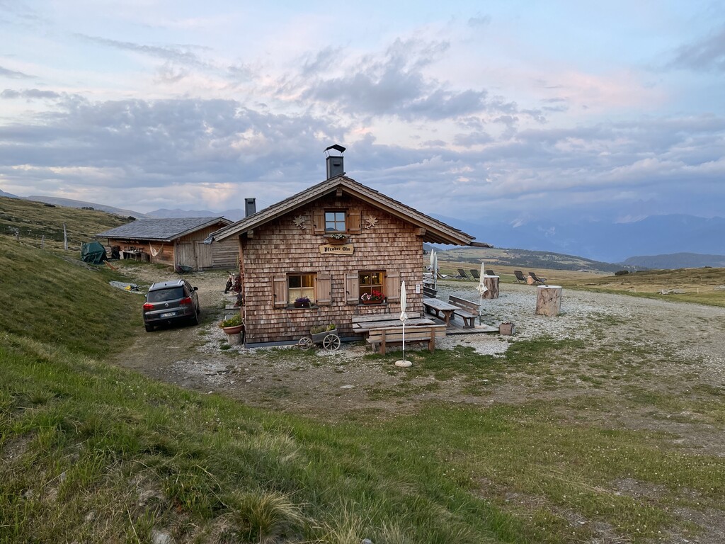
Gasser Hütte
9.4 km away, in Villandro/Villanders
A hut on the Alpe di Villandro above Villandro, one of the wide grazing plateaux of the Alpi Sarentine.
Malga Mair in Plun
9.8 km away, in Villandro/Villanders
A dairy hut on the Alpe di Villandro, on the pastures above Villandro in the Val Isarco.
Sterzing, Pfitsch und FreienfeldMalga Pfroder
10.6 km away, in Villandro/Villanders
A dairy hut on the open ground of the Alpe di Villandro above Villandro, reached by the track from the valley.
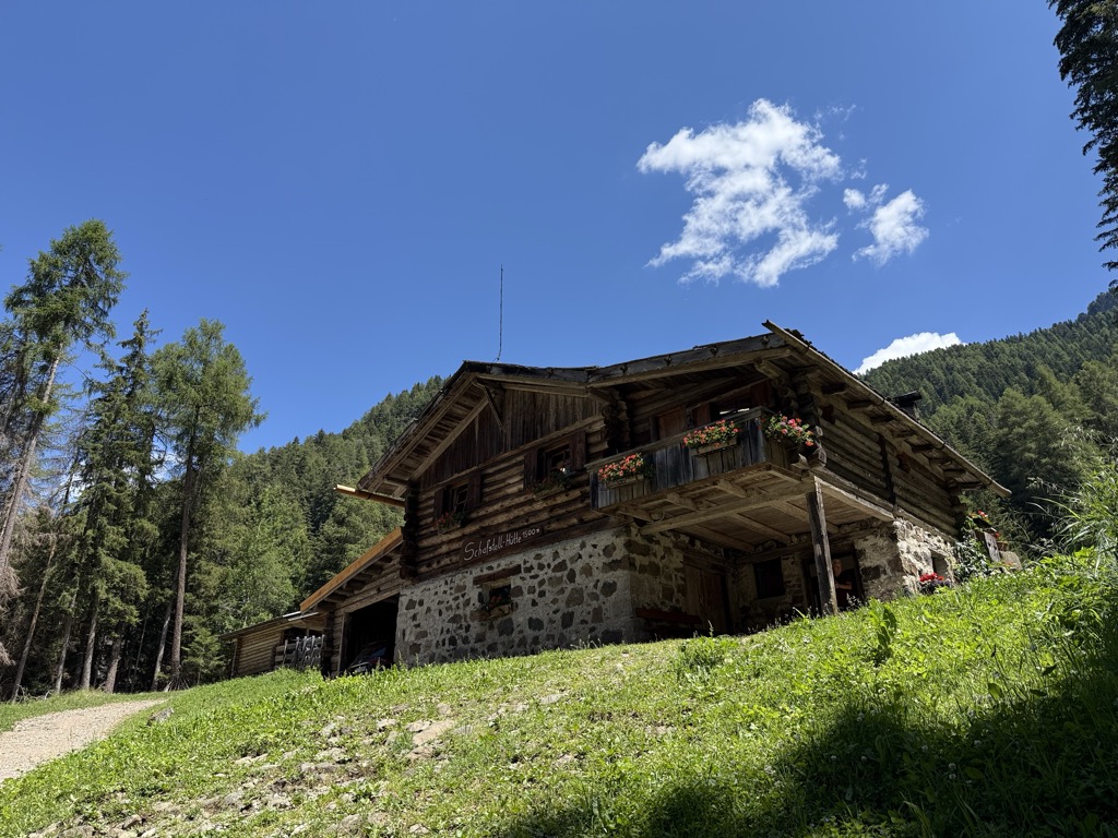
Sterzing, Pfitsch und FreienfeldMalga Schafstall
11.5 km away, in Castelrotto/Kastelruth
A hut at 1,500 m above Castelrotto, 15 minutes on path 9 from the Marinzen gondola top station, or on path 8 up from the village.
Sterzing, Pfitsch und FreienfeldBerggasthof Lanzenschusterhof
11.6 km away, in San Genesio Atesino/Jenesien
A mountain inn on the Tschögglberg above San Genesio, on the plateau that looks across to the Dolomites from north of Bolzano.
Malghetta Sciliar
11.8 km away, in Castelrotto/Kastelruth
A small hut at 1,693 m on the shelf below the Sciliar, on the Castelrotto side of the massif and beside the geological trail.
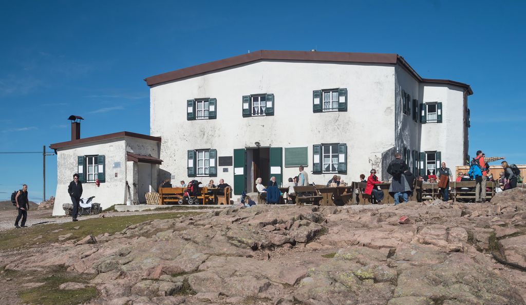
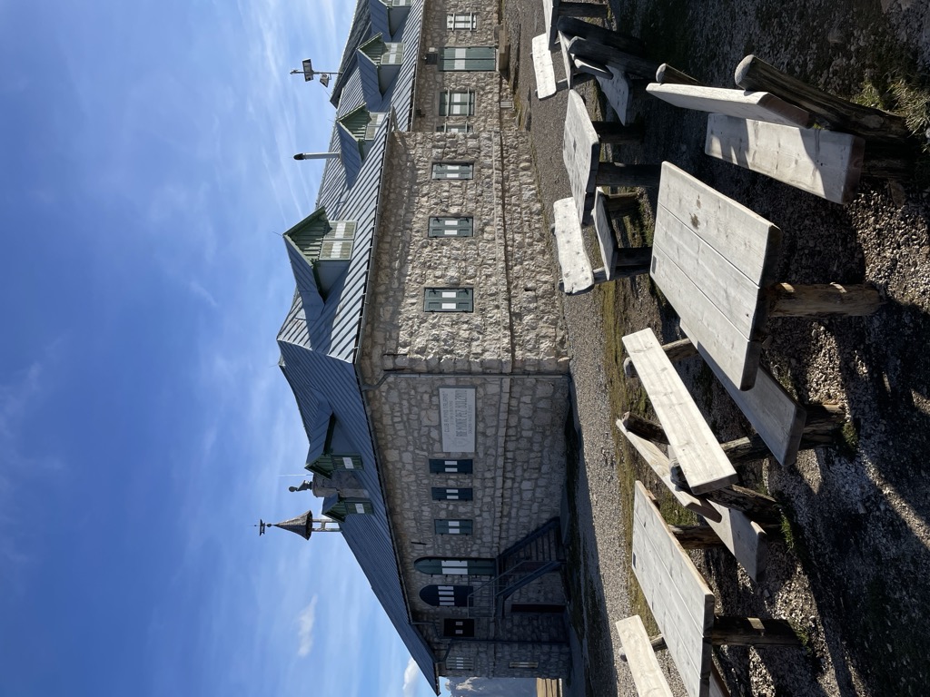
Rifugio Bolzano
11.9 km away, in Fiè allo Sciliar/Völs am Schlern
A refuge on the summit plateau of the Sciliar above Fiè, one of the oldest in South Tyrol, reached by the paths from the Alpe di Siusi.
Rifugio Arnika
12.7 km away, in Castelrotto/Kastelruth
A hut at 2,059 m on the Bullaccia above Castelrotto, with a sun terrace and a children's playground, and in winter a ski taxi back to the Hexe piste.
Sterzing, Pfitsch und FreienfeldRifugio Dibaita
12.8 km away, in Castelrotto/Kastelruth
A hut at 1,974 m on the Alpe di Siusi, 20 minutes on foot from the centre of Compaccio, looking from the Sciliar massif across to the Ortles group.
Sterzing, Pfitsch und FreienfeldAlpe di Siusi
13.7 km away, in Castelrotto/Kastelruth
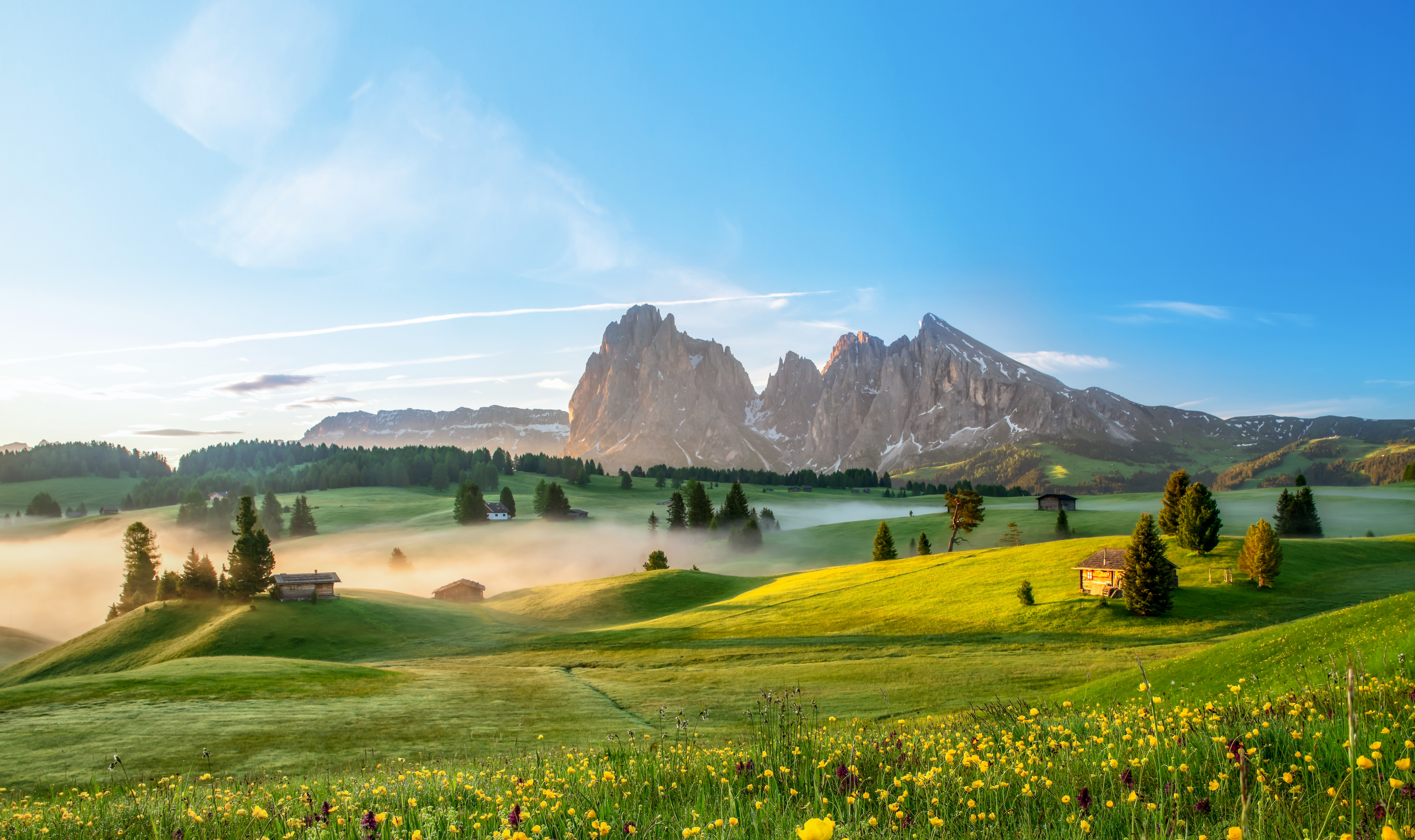
Europe's largest high alpine meadow above Castelrotto, at 1,700-2,300 m below the Sciliar.
Malga Gostner Schwaige
15 km away, in Castelrotto/Kastelruth
A pasture hut at 1,911 m on the Alpe di Siusi above Castelrotto, on the meadows along the way from Compaccio towards Saltria.
Nothing of this kind in Renon/Ritten.
Routes
12 from neighbouring places
Rafenstein: Percorso tra le rovine (estate)
A shaded round from Bolzano up the Talvera gorge past Castel Roncolo and Castel Ried to the ruins of Rafenstein above the city.
- 8.1 km
- Distance
- 355 m
- Ascent
- 2 h 45 min
- Duration
- 1
- Check-ins
Open route Sterzing, Pfitsch und FreienfeldCieloronda
A long high-level round from the Cima Lago Nero lift station on the Renon plateau.
- 16.2 km
- Distance
- 614 m
- Ascent
- 5 h 19 min
- Duration
- 180
- Check-ins
 Rittner Horn 2 261 m
- Schwarzseespitze 2 070 m
- Bergrast - Monte del Riposo 2 111 m
 Rittner Horn Haus - Rifugio Corno del Renon 2 261 m
- Gasthaus Schwarzseespitze 2 071 m
- Gasthaus Unterhorn 2 046 m
- +4
Open route Sterzing, Pfitsch und Freienfeld288 Collegamento Valle Isarco II
A brief link between the Valle Isarco cycle path and the Alpe di Siusi trail network, joining the tour towards S. Osvaldo.
- 1.8 km
- Distance
- 158 m
- Ascent
- 16 min
- Duration
Open route Seis am Schlern258 Collegamento Valle Isarco I.
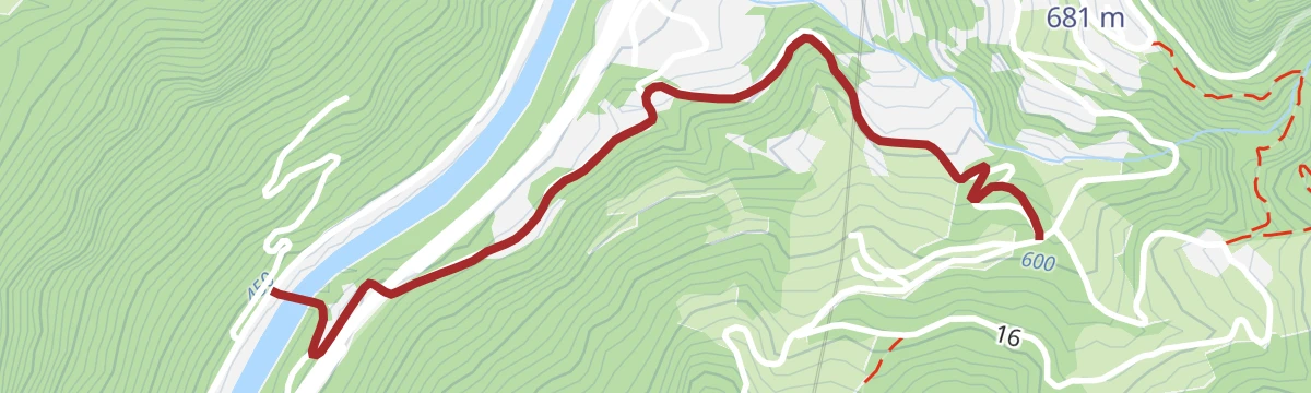
A steep connector out of the Valle Isarco floor, climbing past the Obertrisairhof to the Alpe di Siusi-Val Gardena bike network.
- 4.9 km
- Distance
- 466 m
- Ascent
- 47 min
- Duration
- 2
- Check-ins
Open route Seis am Schlern390 Collegamento Valle D’Iscarco – Region dolomitica Alpe di Siusi
A long climb from the valley cycle path up towards Castelrotto and Siusi, calling at farm inns such as Campedèl and the Malenger Mühle.
- 19.9 km
- Distance
- 619 m
- Ascent
- 2 h 22 min
- Duration
- 21
- Check-ins
- Tourist Info 1 003 m
- Wergeserhof 932 m
- Bar Petra 891 m
- Lafogl 745 m
- Hofschank Campedèl 829 m
- Simmelemüller 831 m
- +7
Open route Seis am SchlernEisacktal Valley Bike Route: Brenner - Bozen
A long, almost entirely downhill valley ride from the Brenner border to Bozen, following the Eisack river the whole way.
- 96.5 km
- Distance
- 313 m
- Ascent
- 9 h 14 min
- Duration
- 185
- Check-ins
- Paterbichl 559 m
- Mila Bistro 282 m
- Klammwirt 559 m
- Hiasele 312 m
- Agrocenter Bozen OHG 296 m
- Senfter 532 m
- +22
Open route Gitschberg - JochtalCastelfeder – Bolzano – Valle Isarco
The Adige cycle path from the Bolzano basin up the Isarco valley by Chiusa toward Bressanone.
- 76.1 km
- Distance
- 617 m
- Ascent
- 7 h 12 min
- Duration
- 183
- Check-ins
- Paterbichl 559 m
- Mila Bistro 282 m
- Kampill Center 270 m
- Klammwirt 559 m
- Hiasele 312 m
- Agrocenter Bozen OHG 296 m
- +17
Open route Südtirols SüdenBy bike from gentle vineyards to the majestic Dolomites – from Egna to Castelrotto
A road tour that leaves the Adige vineyards on the South Tyrolean Wine Road and then climbs steadily to Castelrotto beneath the Dolomites.
- 55.3 km
- Distance
- 1 168 m
- Ascent
- 5 h 43 min
- Duration
- 130
- Check-ins
- Mila Bistro 282 m
- Hiasele 312 m
- Agrocenter Bozen OHG 296 m
- Tourist Information 1 069 m
- Hochklaus 380 m
- Puntnofen 311 m
- +12
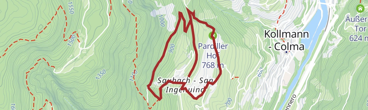
Open route Südtirols SüdenLoop road "Saubacher Rundweg"
6.1 km away, in Barbiano/Barbian
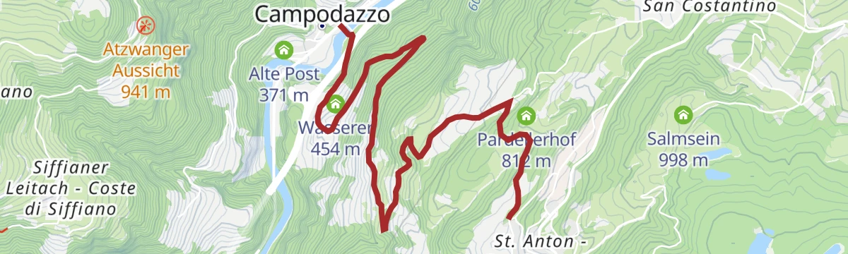
A farm loop at San Ingenuino above Barbiano, passing the Pardiller and Unterfaller holdings and returning on the Koflweg behind the Saubacherhof.
- 4.7 km
- Distance
- 227 m
- Ascent
- 1 h 40 min
- Duration
Open route Klausen, Barbian, Villanders, FeldthurnsMonte di Villandro
9.5 km away, in Villandro/Villanders
A ski tour past the Totenkirchl chapel and the Totensee to the top of Monte Villandro, over the wide pastures of the Villandro alp.
- 17.2 km
- Distance
- 842 m
- Ascent
- 836 m
- Descent
- 5 h 17 min
- Duration
- 100
- Check-ins
- Villanderer Berg - Monte Villandro 2 509 m
- Sarner Scharte 2 465 m
- Zwölfernock 2 434 m
- Mair in Plun 1 860 m
- Gasser Hütte - Rifugio Gasser 1 756 m
- Pfroderalm - Malga Pfroder 2 130 m
- +3
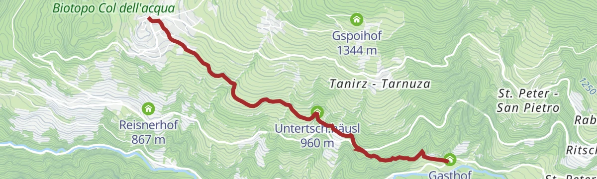
Open route Sterzing, Pfitsch und FreienfeldLaion - Restaurant Stern
10.7 km away, in Laion/Lajen
An almost level link from the centre of Lajen past the Tantscherhof, crossing the Chiusa-Pontives road to the inn at 822 m.
- 3.8 km
- Distance
- 0 m
- Ascent
- 26 min
- Duration
- 6
- Check-ins
- Gasthof Stern 822 m
- Tourismusverein Lajen - Associazione Turistica di Laion 1 095 m
- Tourist Info 1 102 m
- Untertsch.häusl 960 m
Open route LajenWanderung auf der Seiser Alm mit Rosszahnscharte und Maximilian-Klettersteig
13.6 km away, in Castelrotto/Kastelruth
A crossing of the Alpe di Siusi to the Rosszahnscharte and the Tierser Alpl, taking in the Maximilian ferrata, with the Sciliar and Sassolungo in view.
- 22.8 km
- Distance
- 1 463 m
- Ascent
- 12 h 53 min
- Duration
- 552
- Check-ins
- Petz - Monte Pez 2 568 m
- Großer Rosszahn 2 653 m
- Gugglochegg 2 648 m
- Roterdspitze - Cima di Terrarossa 2 655 m
- Tierser Alpl Hütte - Rifugio Alpe di Tires 2 440 m
- Schlernhaus - Rifugio Bolzano 2 457 m
- +10
Open route AVS Sektion Sand in TaufersSci alpinismo notturno presso l'area sciistica di Reinswald
13.9 km away, in Sarentino/Sarntal
A ski-touring ascent of the Reinswald piste, open to skinners on Thursday evenings through the season.
- 4.7 km
- Distance
- 880 m
- Ascent
- 0 m
- Descent
- 2 h 27 min
- Duration
- 47
- Check-ins
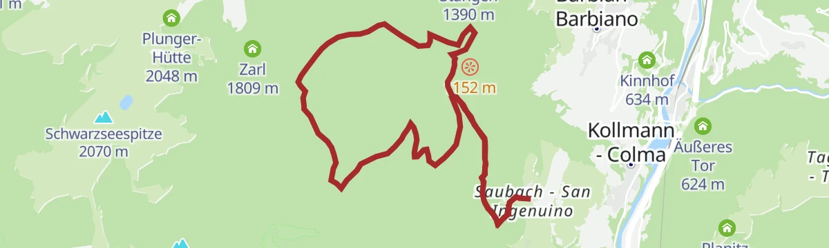
Open route Sterzing, Pfitsch und FreienfeldSaubach/San Ingenuino - Rampoldsteig/Sentiero Rampold - Heidrichsberg/Monte Heidrichsberg
6 km away, in Barbiano/Barbian
A steep climb from San Ingenuino on the Koflweg and the Rampold path through forest to the Heidrichsberg, returning by Rastall and the alp road to Pian.
- 11.9 km
- Distance
- 1 111 m
- Ascent
- 6 h 55 min
- Duration
- 3
- Check-ins
- Kasserol 1 294 m
 Nixenteich 1 409 m
Open route Klausen, Barbian, Villanders, FeldthurnsKofelweg Saubach/Barbian
6 km away, in Barbiano/Barbian
A steep link between San Ingenuino and Barbiano on the Koflweg, passing the rock steps of the Katzenleiter and Kasserol.
- 6.0 km
- Distance
- 591 m
- Ascent
- 3 h 34 min
- Duration
- 6
- Check-ins
- Tourismusverein Klausen, Barbian, Feldthurns und Villanders - Associazione Turistica di Barbiano 840 m
- Kasserol 1 294 m
Open route Klausen, Barbian, Villanders, Feldthurns255 Giro della croce Schnaggenkreuz
6.8 km away, in Fiè allo Sciliar/Völs am Schlern
A forest-road ride out of Fiè through the hamlets of Umes, Aica di Fiè and Presule, where a short detour reaches Castel Prösels.
- 16.6 km
- Distance
- 453 m
- Ascent
- 1 h 54 min
- Duration
- 6
- Check-ins
- Schlunhof 933 m
- Trafisöler Hof 837 m
- Trafisölermühle 812 m
- Hofmüller 837 m
- Hofschmid 833 m
- Federerschupfe 937 m
- +5
Open route Seis am Schlern292 Collegamento Fiè-Siusi
6.8 km away, in Fiè allo Sciliar/Völs am Schlern
A connecting ride on cycle paths from Fiè to Siusi allo Sciliar, past S. Antonio, the chapel of S. Costantino and the S. Vigilio golf course.
- 7.4 km
- Distance
- 190 m
- Ascent
- 47 min
- Duration
- 6
- Check-ins
Open route Seis am Schlern429 Variante Giro Schnaggenkreuz I
7.3 km away, in Fiè allo Sciliar/Völs am Schlern
A 380 m link from the Braunhof over to Tasioler, joining the tour up to the Hofer Alpl with the circuit around the wayside cross.
- 377 m
- Distance
- 0 m
- Ascent
- 3 min
- Duration
Open route Seis am Schlern457 From picturesque heights to medieval town flair - from Kastelruth to Sterzing
9.2 km away, in Castelrotto/Kastelruth
A long valley ride from the terrace above the Eisack down to the river, then north past Paterbichl to Sterzing, mostly on paved paths.
- 65.0 km
- Distance
- 758 m
- Ascent
- 6 h 31 min
- Duration
- 76
- Check-ins
- Paterbichl 559 m
- Klammwirt 559 m
- Tourist Information 1 069 m
- Senfter 532 m
- Fürholz 554 m
- Hilm 488 m
- +9
Open route SterzingSentiero tematico Peterbühl
6.7 km away, in Fiè allo Sciliar/Völs am Schlern
A short archaeological trail on the Peterbühl above Fiè, past finds from the Bronze Age to the early Middle Ages.
- 955 m
- Distance
- 31 m
- Ascent
- 16 min
- Duration
- 9
- Check-ins
Open route Seis am Schlern
No routes of this kind in Renon/Ritten yet.
The region's own picks

Featured route
Rafenstein: Percorso tra le rovine (estate)
A shaded round from Bolzano up the Talvera gorge past Castel Roncolo and Castel Ried to the ruins of Rafenstein above the city.
Planning a trip to Renon/Ritten?
Everything else Trentino-Alto Adige/Südtirol has, in one place


Take Renon/Ritten with you into the mountains
Every route on this page with 3D terrain, GPX navigation and offline maps — including the valleys with no signal.
Data sources
- Official website: suedtirol.info ↗
- Routes and highlights: Sterzing, Pfitsch und Freienfeld, Seis am Schlern, Klausen, Barbian, Villanders, Feldthurns, YesAlps, Südtirols Süden, Italia.it, Gitschberg - Jochtal, Lajen, AVS Sektion Sand in Taufers, Sterzing
- Published as open data by the tourist boards named above.
- Region summary generated from the board's own material.
