
 Cable car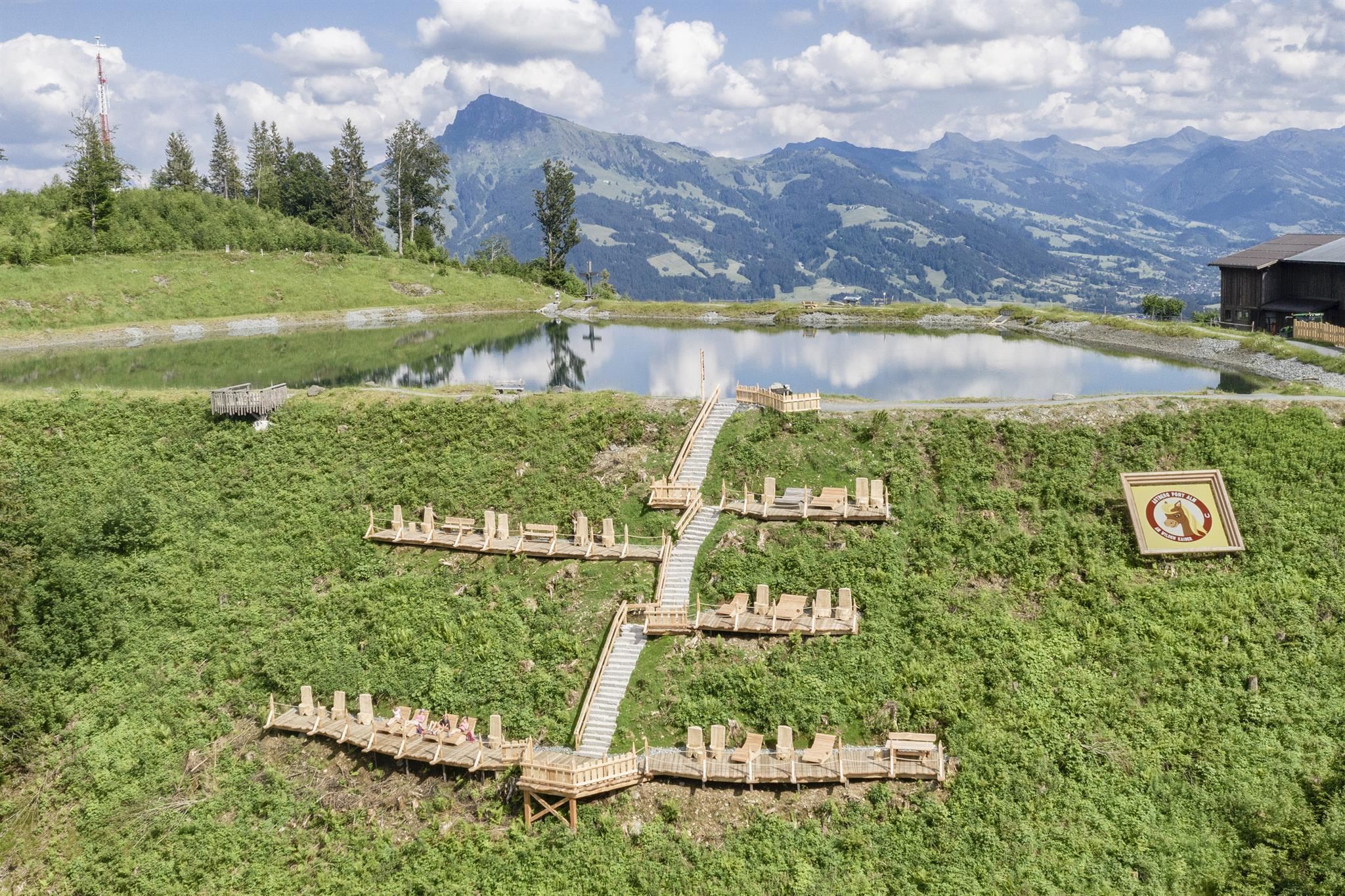
 Historic site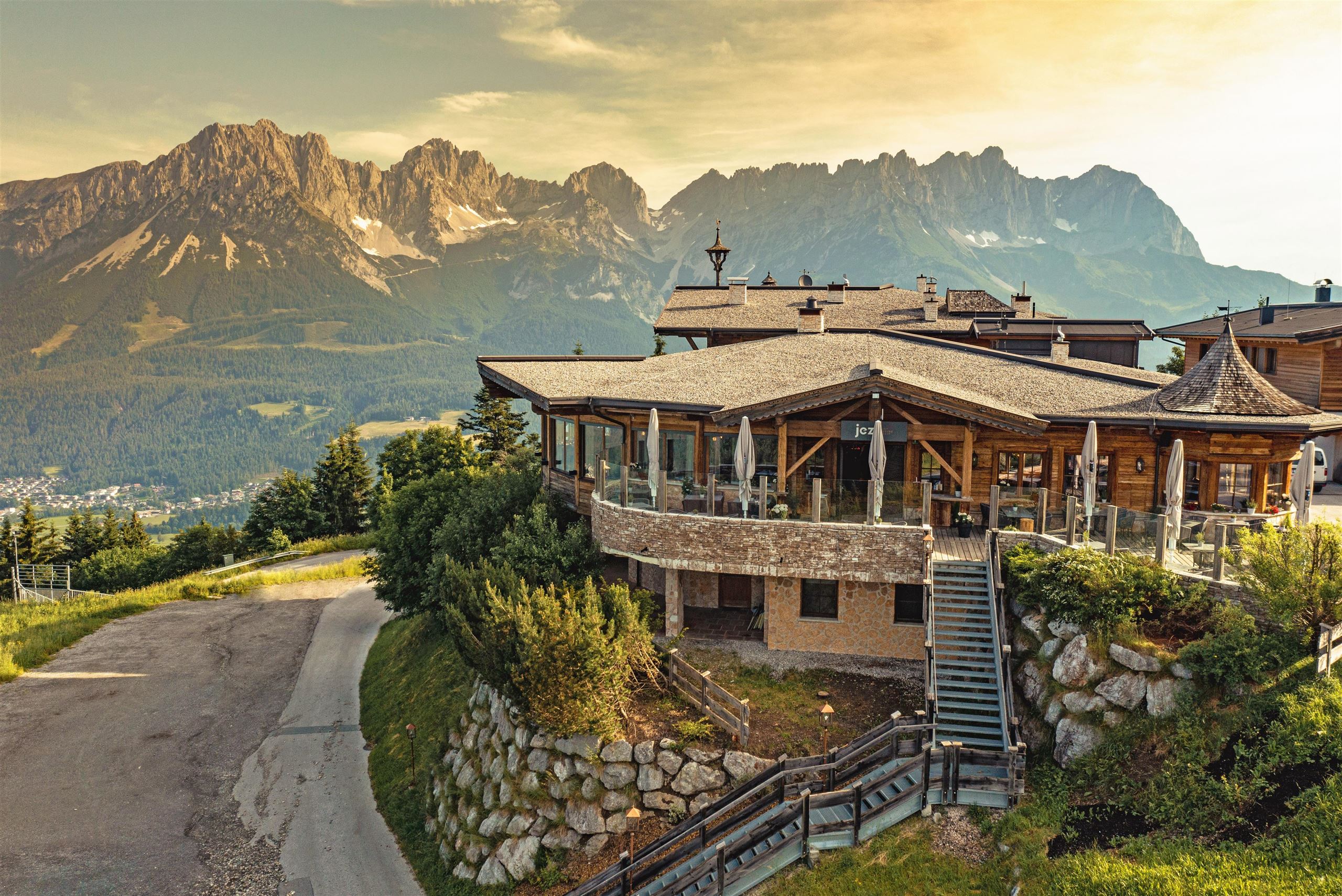














Curated by Wilder Kaiser Tourismus
Reith bei Kitzbühel
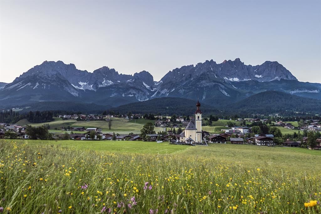
Kitzbühel's small neighbour at 759 m, quiet lanes in the meadows between the Kitzbüheler Horn foothills and the view to the Wilder Kaiser.
- 6Highlights
- 50Routes
- Featured summit · Hartkaiser
Highlights
9 from neighbouring places
Blattlalm am Astberg
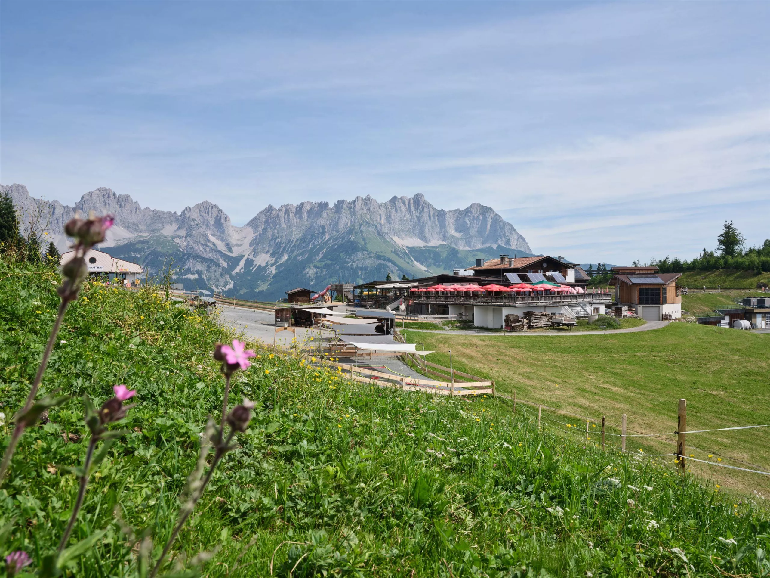
A pasture hut on the Astberg above Going, a stop for families combining the Pony Alm, the Astberg lift and the easy summit trails.
Astbergsee
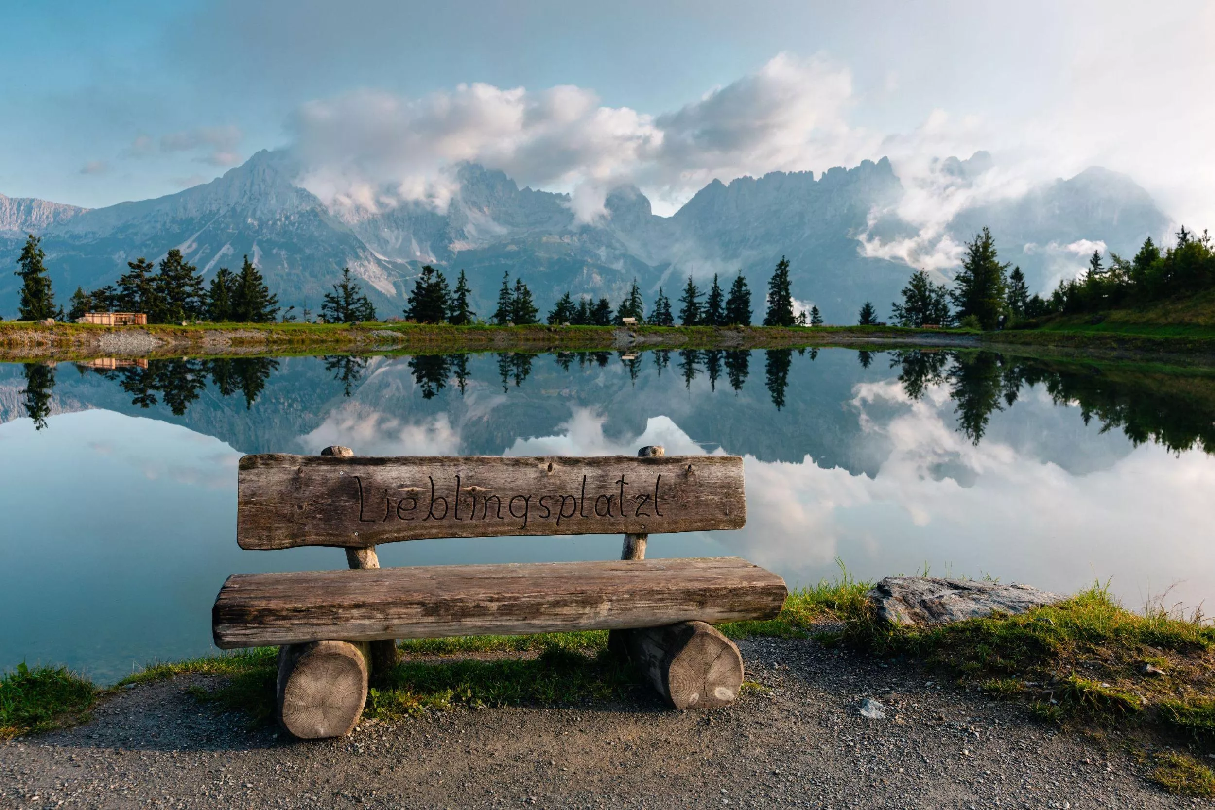
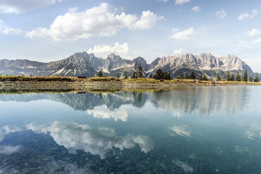
A small mountain lake on the Astberg above Going, reached by the Astbergbahn, with views across to the rock walls of the Wilder Kaiser.
Bergbahn Going - Astbergbahn
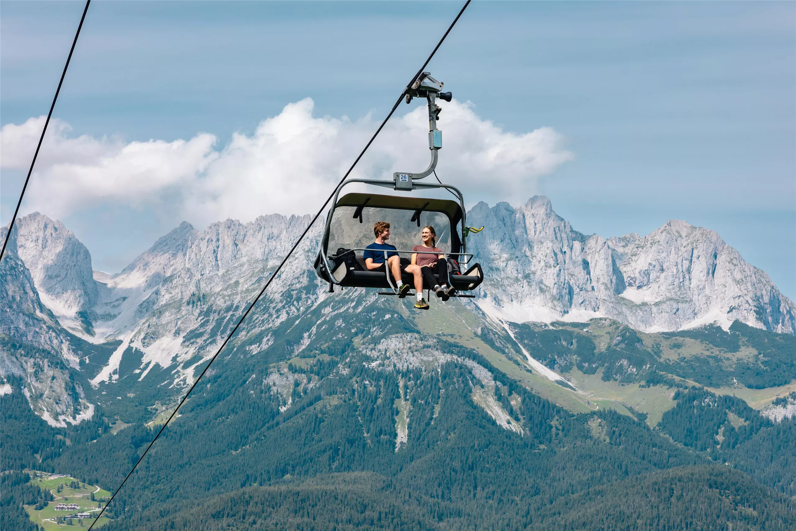
A chairlift from Going onto the Astberg, serving quiet slopes in the SkiWelt and walking trails to the Astbergsee facing the Wilder Kaiser.
Kaiserkino am Astberg
An open-air 'cinema' on the Astberg above Going, with rows of seats facing the rock walls of the Wilder Kaiser instead of a screen.
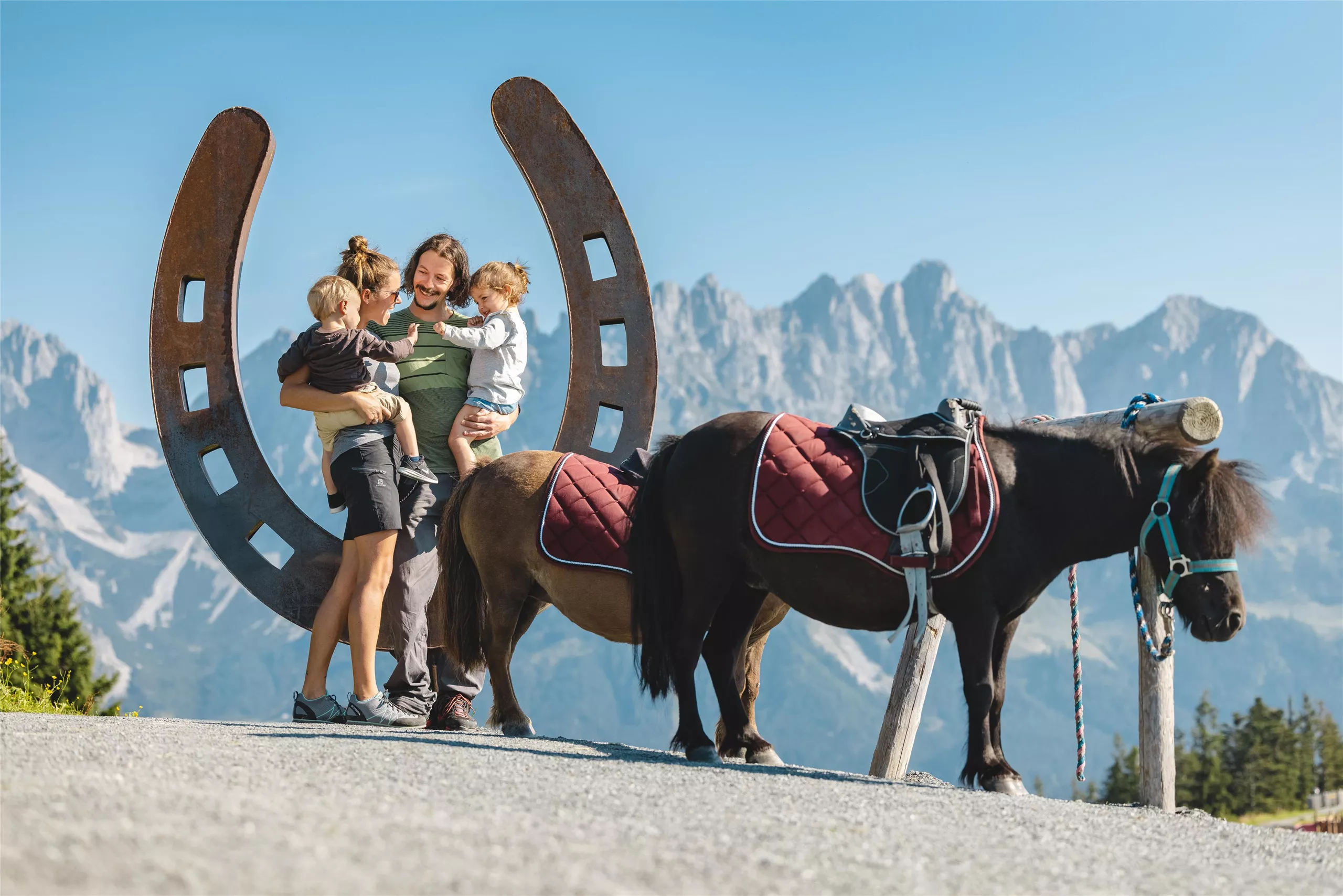
Astberg Pony Alm
A pony pasture at the Astberg above Going where children can meet the ponies, next to play areas and easy family trails.
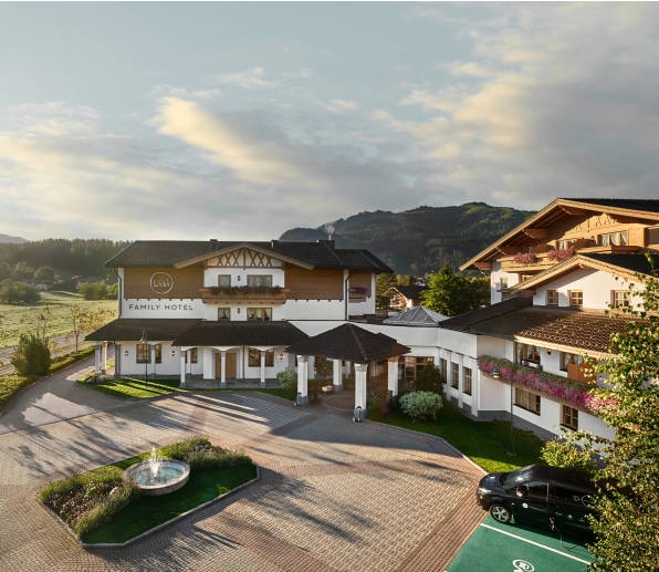
Lisi World
A children's play area at the Lisi family hotel in Reith near Kitzbühel, with playground equipment for younger guests.
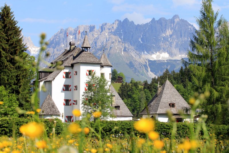
Schloss Münichau
2.3 km away, in Kitzbühel
A late-medieval castle near Reith bei Kitzbühel, preserved with thick walls and today run as a hotel and restaurant.
jezz Alm Ellmau
2.6 km away, in Ellmau
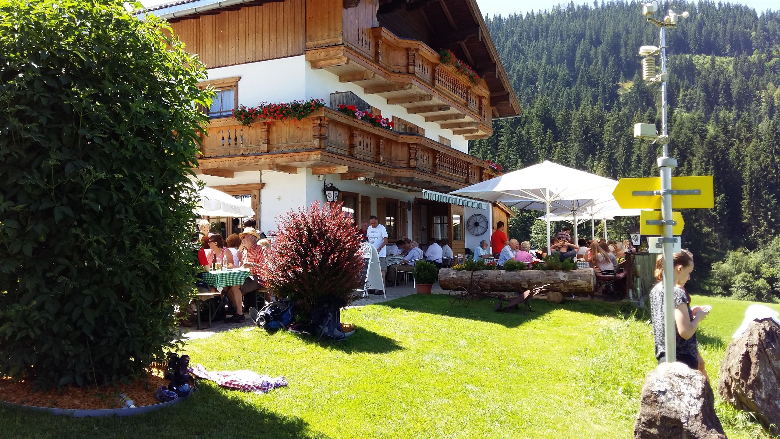
A restaurant-style alm at Ellmau near the Going boundary, combining hut atmosphere with regional cooking below the Wilder Kaiser.
Jausenstation Hollenauer Kreuz
2.7 km away, in Going am Wilden Kaiser
A snack station at the Hollenauer Kreuz, a wayside cross on the gentle slopes between Going and Ellmau, serving simple alpine fare.
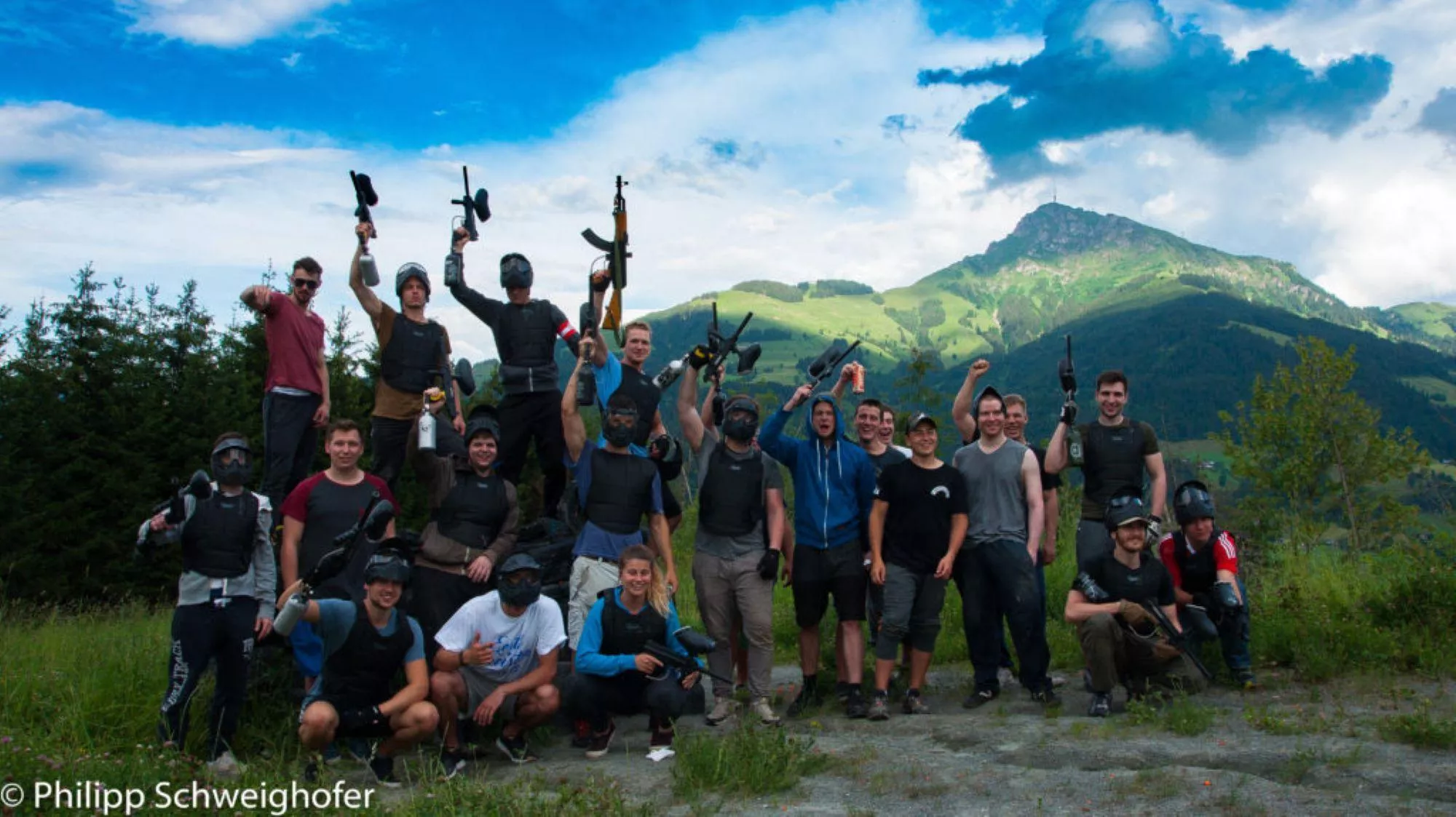
Paintballverein Kitzbühel
3.2 km away, in Oberndorf in Tirol
A paintball club ground at Oberndorf near Kitzbühel, offering marked playing fields and equipment for visiting groups.
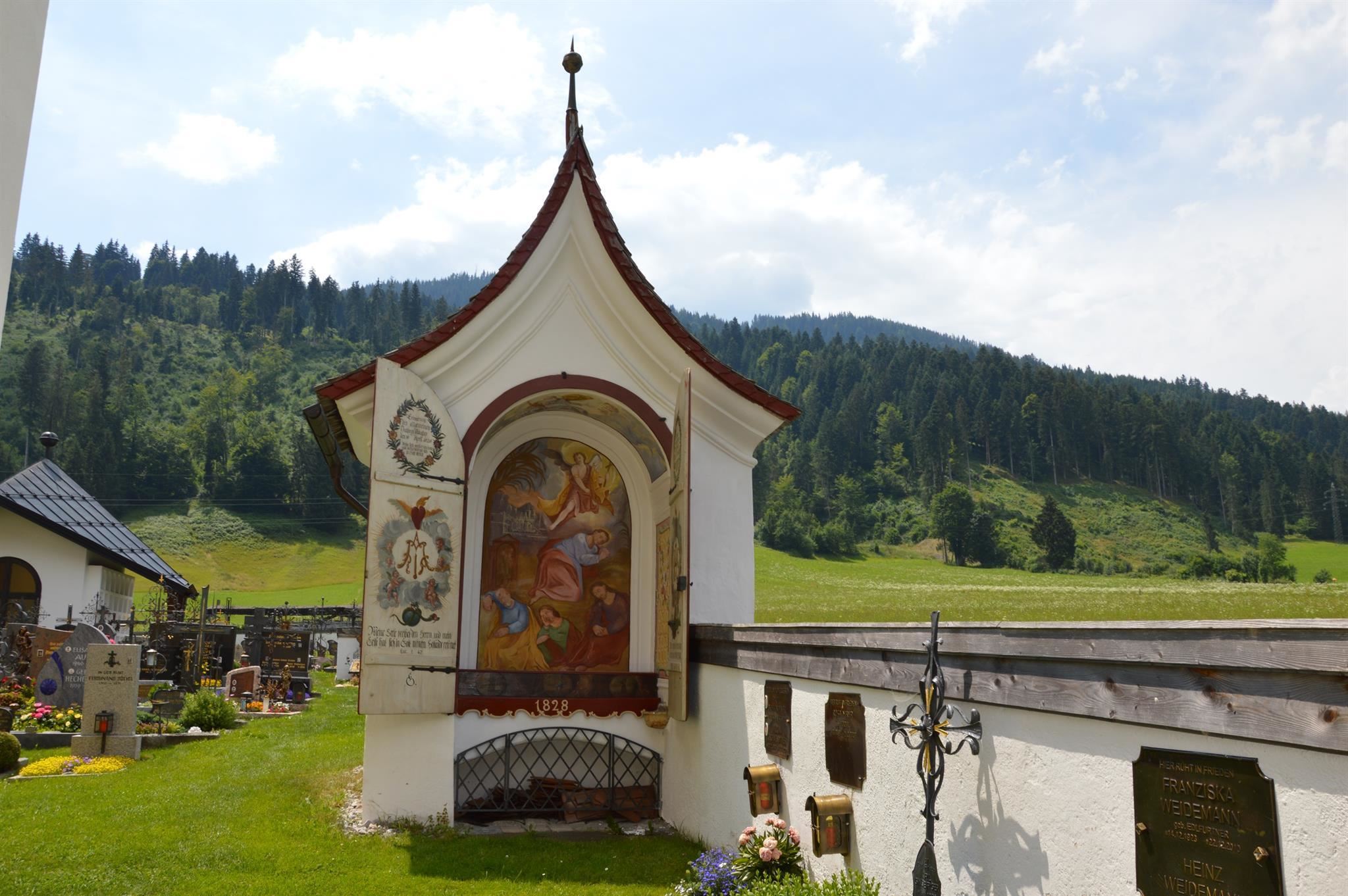
Ölberg- oder Totenkapelle
3.4 km away, in Going am Wilden Kaiser
A small chapel beside Going's parish church, known as the Mount of Olives or funeral chapel from its earlier role in burial rites.
Gottesdienst in Going
3.5 km away, in Going am Wilden Kaiser
Regular church services at Going am Wilden Kaiser, held in the village's rococo parish church of the Holy Cross.
Pfarrkirche Going "zum Hl. Kreuz"
3.5 km away, in Going am Wilden Kaiser
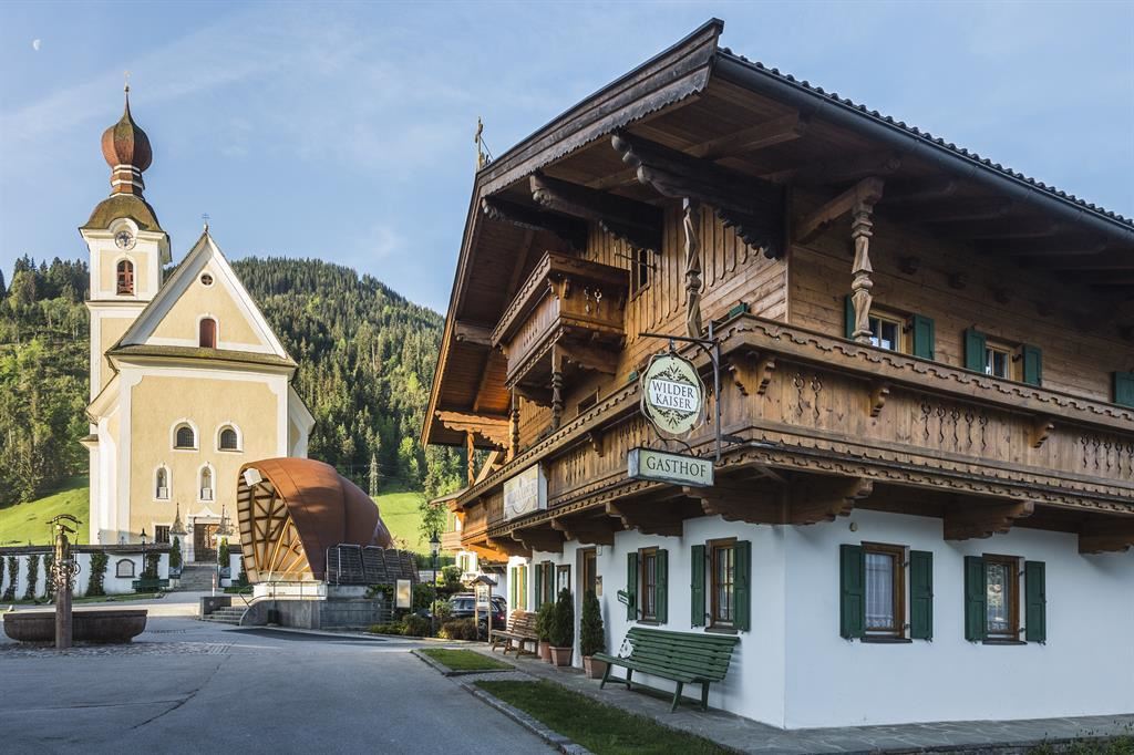
Going's rococo parish church of the Holy Cross, an 18th-century building at the heart of the village square.
Kirchplatz Going
3.5 km away, in Going am Wilden Kaiser
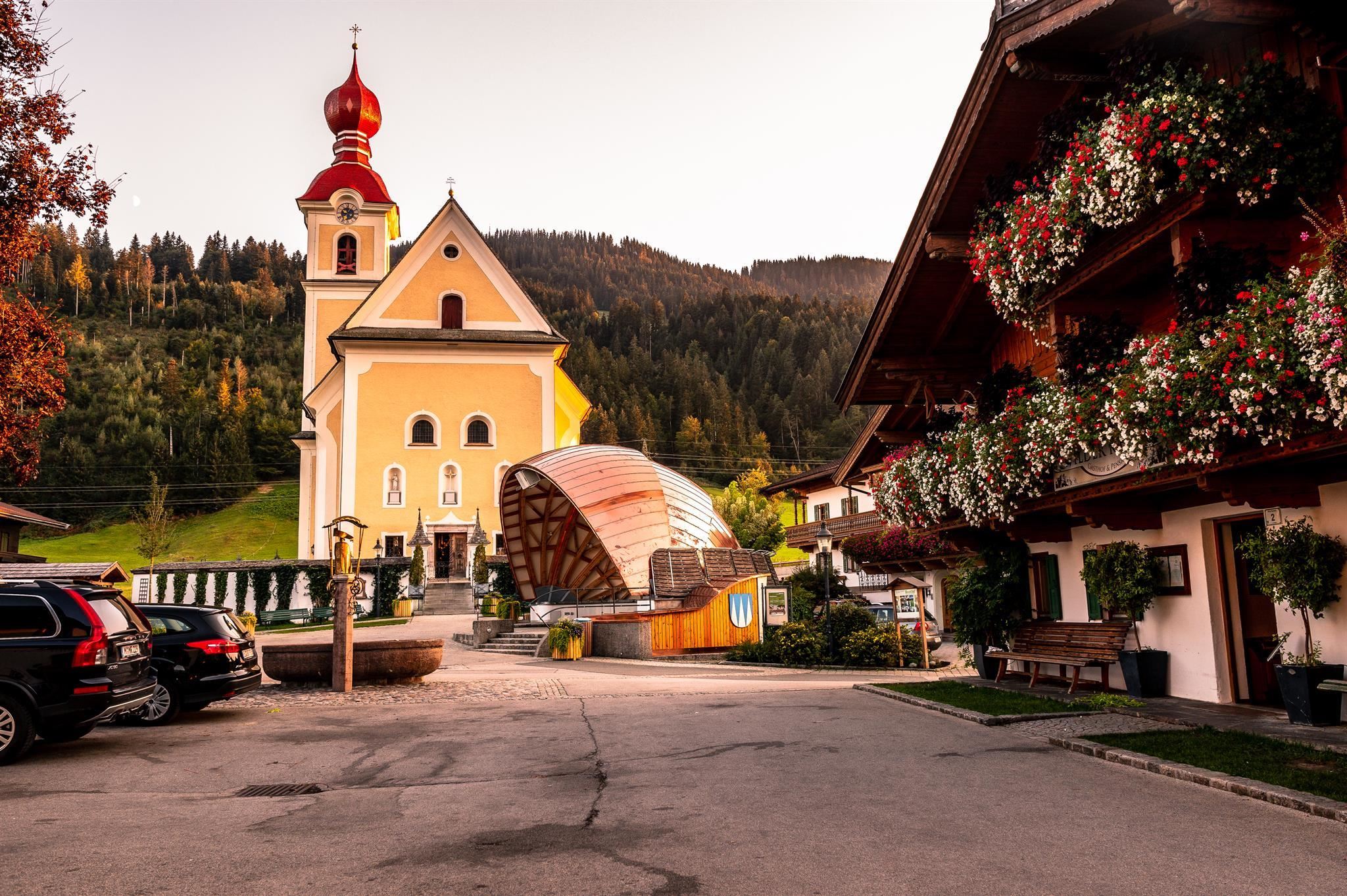
The church square of Going am Wilden Kaiser at 766 m, centred on the village's 18th-century rococo parish church.
Drehort - Dorfplatz Going
3.5 km away, in Going am Wilden Kaiser
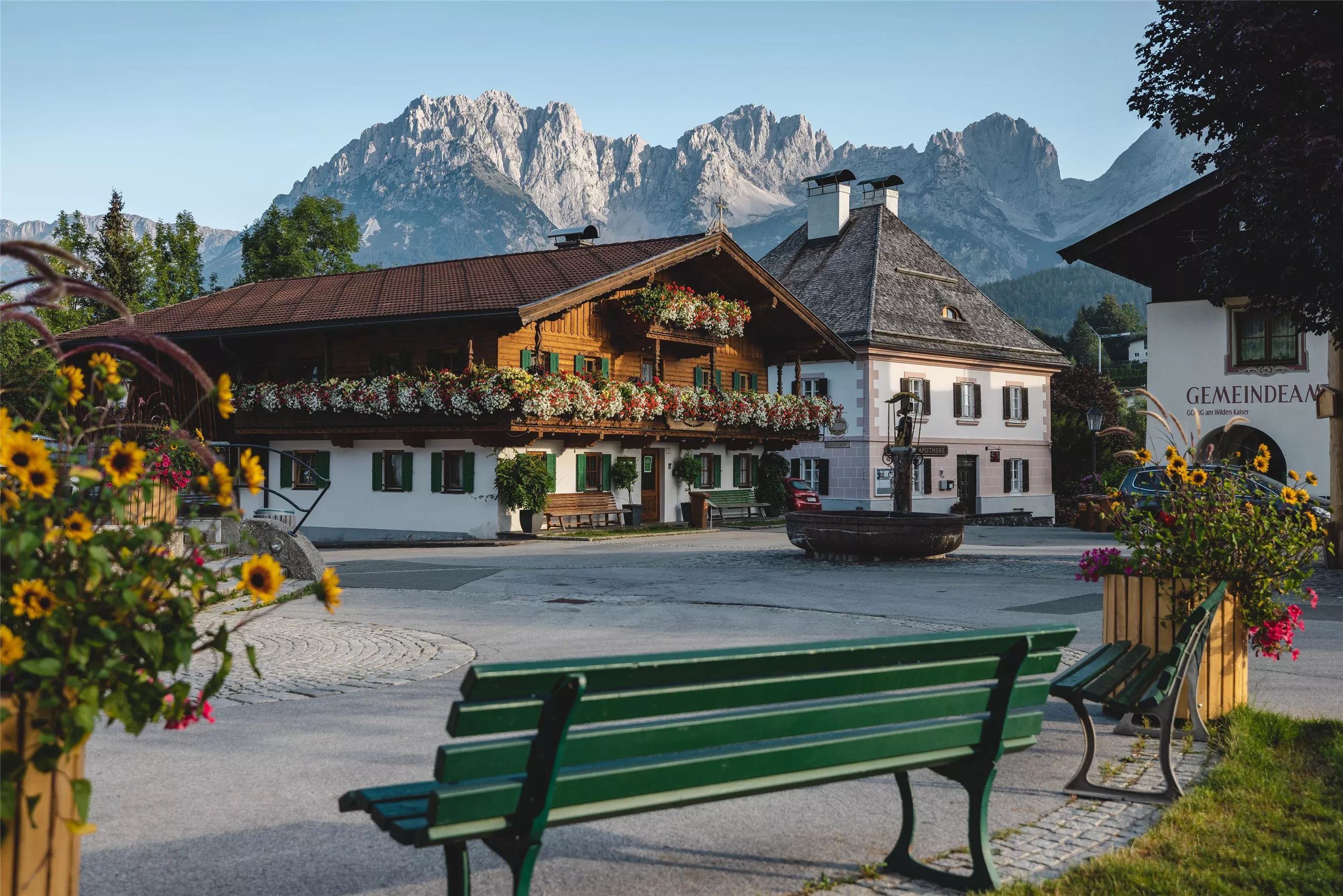
Going's village square, familiar from the TV series Der Bergdoktor, framed by the parish church and old farmhouses at 766 m below the Wilder Kaiser.
Nothing of this kind in Reith bei Kitzbühel.
Routes
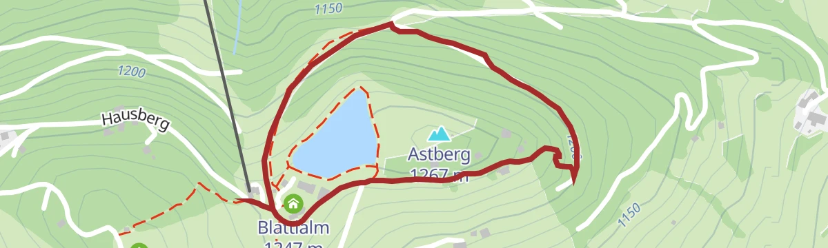
Astberg Runde
Family-friendly 1.5 km round on the Astberg, passing the Astbergsee and the Blattlalm.
- 1.5 km
- Distance
- 80 m
- Ascent
- 34 min
- Duration
- 24
- Check-ins
Asten Runde
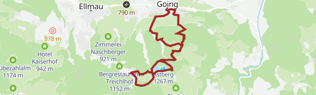
From Going up onto the Astberg, with a short high circuit past the Astbergsee and the Blattlalm before the descent.
- 8.8 km
- Distance
- 561 m
- Ascent
- 3 h 49 min
- Duration
- 25
- Check-ins
Kaiserblüte - Etappe Alm (Astberg-Hartkaiser)
A 25 km high-level link from the Astberg to the Hartkaiser, threading pastures and huts such as the Blattlalm and the Rübezahlalm with the Wilder Kaiser opposite.
- 25.1 km
- Distance
- 1 102 m
- Ascent
- 8 h 36 min
- Duration
- 185
- Check-ins
Radtour Hollenauer Kreuz
A short forest-road climb from Going to the Jausenstation Hollenauer Kreuz at 1,023 m, some 350 m above the valley.
- 7.5 km
- Distance
- 322 m
- Ascent
- 53 min
- Duration
- 5
- Check-ins
Salvenradrunde
A long, mostly flat circuit of the Hohe Salve on valley roads, linking Westendorf, Brixen im Thale and Ellmau at around 800 m.
- 62.4 km
- Distance
- 644 m
- Ascent
- 6 h 9 min
- Duration
- 23
- Check-ins
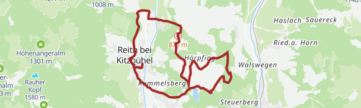
26 | Radweg Reith bei Kitzbühel
A short, nearly flat cycle path looping around the village and its meadows, starting at the tourist information centre.
- 9.1 km
- Distance
- 98 m
- Ascent
- 54 min
- Duration
- 4
- Check-ins
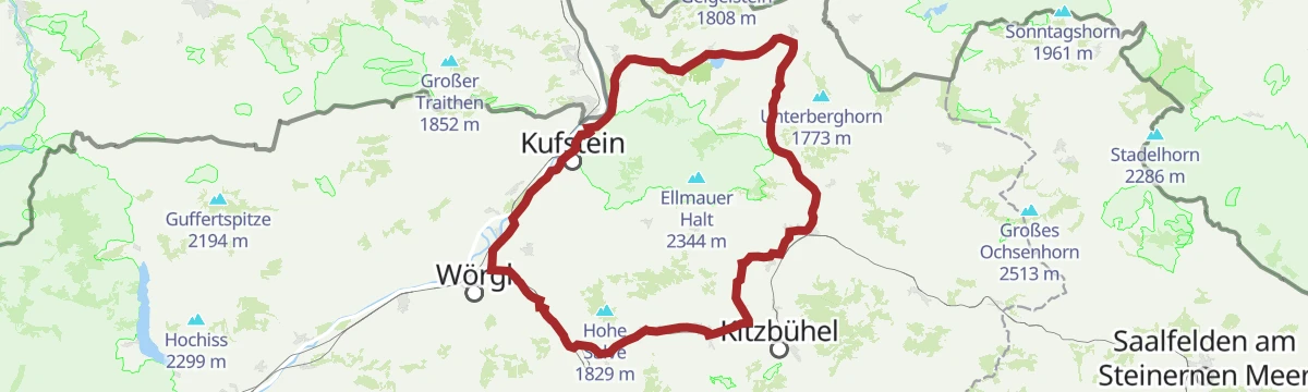
02 - Rund um die Salve und den Kaiser
A long road loop out of Scheffau down to Kufstein and back through Hopfgarten, passing the Erlensee on the return.
- 95.3 km
- Distance
- 1 074 m
- Ascent
- 9 h 28 min
- Duration
- 34
- Check-ins
Hausbergrundweg
Short high-level round by the Astbergsee, whose surface mirrors the Kaiser, taking in the Blattlalm and the Astberg Sonnenalm.
- 2.5 km
- Distance
- 108 m
- Ascent
- 51 min
- Duration
- 20
- Check-ins
Rauher Kopf
A 13 km walk over rough ground by the Blinzalm and the Höhenangeralm to the Rauher Kopf above Reith bei Kitzbühel.
- 13.1 km
- Distance
- 604 m
- Ascent
- 4 h 33 min
- Duration
- 17
- Check-ins
SkiWelt Panoramaweg
Nearly 29 km of high-level walking across the SkiWelt from the Hartkaiser to the Zinsberg, with the summer gondolas taking out much of the climbing.
- 28.8 km
- Distance
- 989 m
- Ascent
- 9 h 18 min
- Duration
- 175
- Check-ins
Bichlach Runde
A loop over the Bichlach shelf, linking the Gieringer Weiher, the Schwarzsee and the Hasenbergweiher as it goes.
- 12.7 km
- Distance
- 360 m
- Ascent
- 1 h 28 min
- Duration
- 1
- Check-ins
 Gieringer Weiher 781 m
- Hasenbergweiher 777 m
MTB-Tour 273 Kathenrunde
A loop between Going and Ellmau below the Astberg, climbing to the Sonnenschwendt chalets at around 1,100 m before dropping back.
- 17.6 km
- Distance
- 578 m
- Ascent
- 2 h 5 min
- Duration
- 13
- Check-ins
Gravel Grutten Runde MTB NR. 283
A short gravel loop on the valley tracks near Oberndorf in Tirol, with barely 250 m of climbing.
- 9.8 km
- Distance
- 244 m
- Ascent
- 1 h 6 min
- Duration
21,14 | Salvenradrunde
A long circuit of the Hohe Salve on cycle paths and valley roads, linking the Brixental with Ellmau on the Wilder Kaiser side.
- 53.9 km
- Distance
- 687 m
- Ascent
- 5 h 25 min
- Duration
- 32
- Check-ins
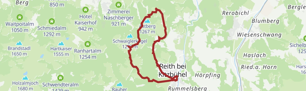
Schwaiglerkogel Runde
Short round over the Schwaiglerkogel by the Astberg Sonnenalm and the Blattlalm, with a wide view over the valley.
- 4.1 km
- Distance
- 137 m
- Ascent
- 1 h 18 min
- Duration
- 13
- Check-ins
Scharlwand-Kathen-Hollenauer Kreuz
Moderate ridge-and-meadow circuit from Reith over the Scharlwand side to the Jausenstation Hollenauer Kreuz, returning via the Blinzalm.
- 12.6 km
- Distance
- 676 m
- Ascent
- 4 h 50 min
- Duration
- 15
- Check-ins
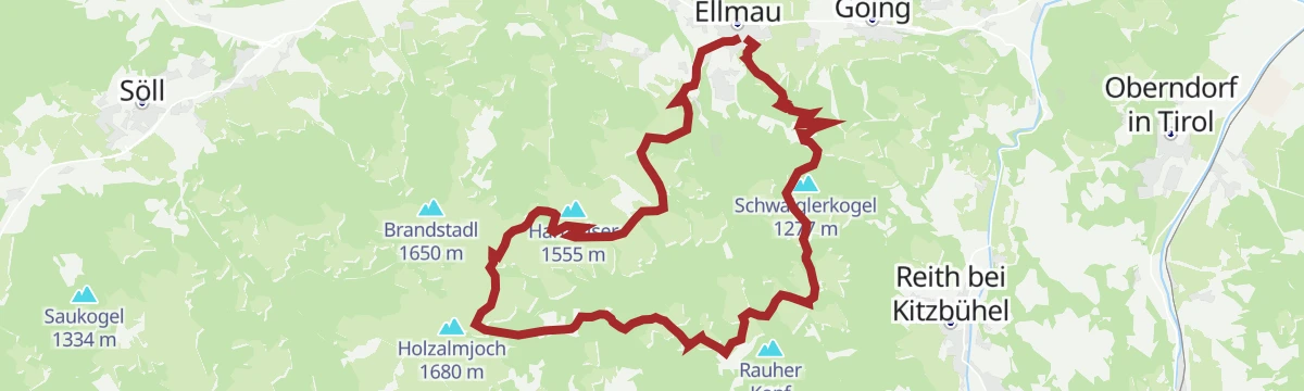
11er-Kaiserblick-Runde
Long circuit onto Ellmau's local hill by way of old alpine huts, looking across to the Wilder Kaiser and the Hartkaiser, returning over the Ranhartalm.
- 22.8 km
- Distance
- 1 025 m
- Ascent
- 7 h 53 min
- Duration
- 41
- Check-ins
279 | Rettenberg Runde
A rolling loop through the lake country west of Kitzbühel, taking in the Schwarzsee and the Hasenbergweiher on the way round.
- 12.1 km
- Distance
- 330 m
- Ascent
- 1 h 23 min
- Duration
- Hasenbergweiher 777 m
273 | Kathenrunde
A forest-road round from Reith bei Kitzbühel up towards Sonnenschwendt at nearly 1,100 m, returning past the Astberg lift.
- 15.2 km
- Distance
- 540 m
- Ascent
- 1 h 51 min
- Duration
- 13
- Check-ins
7 Rund um die Hohe Salve
A valley-road loop right around the Hohe Salve massif, running by way of Kitzbühel, Ellmau and Hopfgarten in the Brixental.
- 57.5 km
- Distance
- 765 m
- Ascent
- 5 h 49 min
- Duration
- 31
- Check-ins
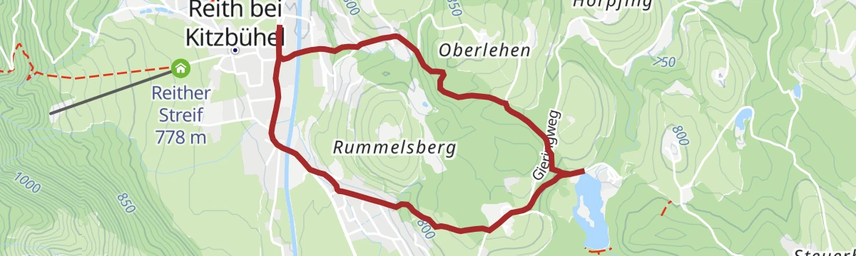
Gieringer Weiher
Short walk from Reith to a warm moor pond ringed by reeds and bathing lawns, with the Wilder Kaiser mirrored in the water.
- 4.1 km
- Distance
- 133 m
- Ascent
- 1 h 17 min
- Duration
- 1
- Check-ins
- Gieringer Weiher 781 m
Hollenauer Kreuz Winterwanderweg
Winter route up to the Jausenstation Hollenauer Kreuz, a balcony position with the Wilder Kaiser close at hand.
- 10.7 km
- Distance
- 344 m
- Ascent
- 3 h 22 min
- Duration
- 1
- Check-ins
Kaiserblickweg
A long climb from Reith bei Kitzbühel past the Höhenangeralm onto the ridge facing the Wilder Kaiser — the route's whole upper half is one extended Kaiser panorama.
- 16.1 km
- Distance
- 913 m
- Ascent
- 6 h 26 min
- Duration
- 5
- Check-ins
280 | Ums Bichlach
A circuit of the Bichlach plateau outside Kitzbühel, running past the Schwarzsee and the small Hasenbergweiher pond.
- 15.2 km
- Distance
- 345 m
- Ascent
- 1 h 40 min
- Duration
- Hasenbergweiher 777 m
Astbergrunde
A long forest-road circuit above Reith bei Kitzbühel, climbing to Chalet Sonnenschwendt at 1,092 m and returning by the Vetterstätt.
- 28.0 km
- Distance
- 778 m
- Ascent
- 3 h 13 min
- Duration
- 9
- Check-ins
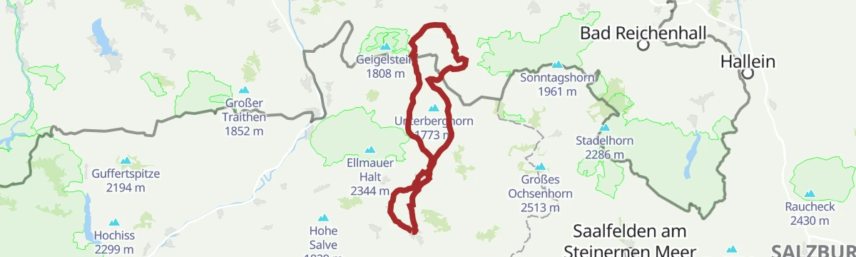
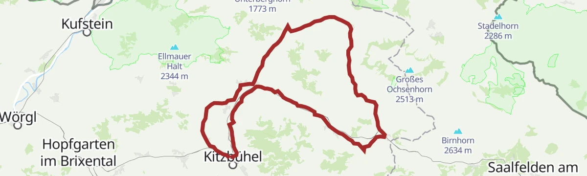
8 Rund um den Wilden Kaiser
A long road circuit of the Wilder Kaiser from Ellmau, running out to Walchsee and back by way of Kitzbühel and the Ellmauer Alm.
- 87.9 km
- Distance
- 1 199 m
- Ascent
- 8 h 56 min
- Duration
- 31
- Check-ins
Bichlachrunde
Circuit through the pond-dotted Bichlach over the Rettenberg, passing the Gieringer Weiher, Vogelsberg-Weiher and Hasenbergweiher.
- 10.5 km
- Distance
- 336 m
- Ascent
- 3 h 17 min
- Duration
- 1
- Check-ins
 Rettenberg 876 m
- Gieringer Weiher 781 m
- Vogelsberg-Weiher 770 m
- Hasenbergweiher 777 m
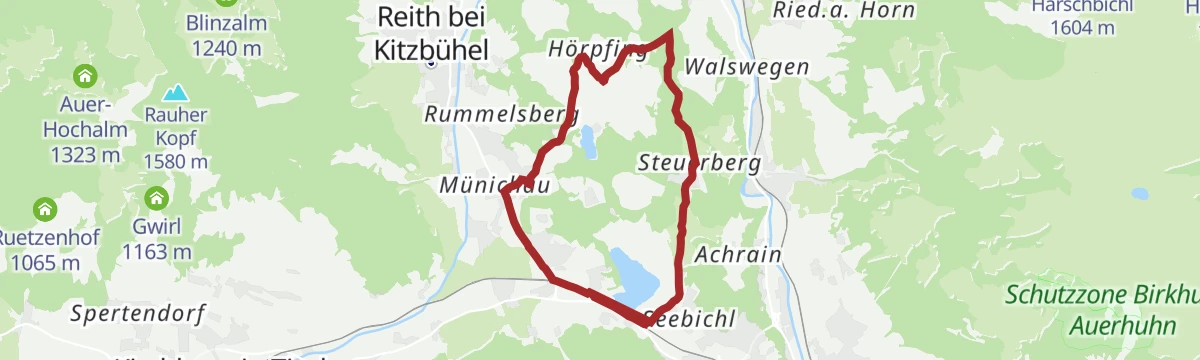
281 | Hörpfing Runde
A short mountain-bike loop out to Hörpfing from Kitzbühel, passing close to the Schwarzsee and the Hasenbergweiher.
- 9.0 km
- Distance
- 185 m
- Ascent
- 58 min
- Duration
- Hasenbergweiher 777 m
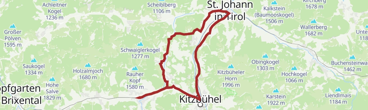
CR1 | Americano | St. Johann Flugplatz
A rolling tour from the airfield in the Leukental down to Kitzbühel, returning past the Schwarzsee and its photo point.
- 33.5 km
- Distance
- 445 m
- Ascent
- 3 h 23 min
- Duration
- 7
- Check-ins
Salvenradrunde
A road and cycle-path round of the Hohe Salve from Hopfgarten, passing the Ellmauer Alm and the Waldhof Alm on the way.
- 62.7 km
- Distance
- 1 034 m
- Ascent
- 6 h 32 min
- Duration
- 31
- Check-ins
Höhenweg Reith
High path above Reith bei Kitzbühel with almost 600 m of climbing, traversing sunny slopes past the Reither Streif viewpoint.
- 10.9 km
- Distance
- 587 m
- Ascent
- 4 h 12 min
- Duration
- 1
- Check-ins
283 | Grutten Runde
A ten-kilometre circuit on farm and forest tracks in the Leukental at Oberndorf, with little climbing along the way.
- 9.9 km
- Distance
- 243 m
- Ascent
- 1 h 6 min
- Duration
CR3 | Cappucino | Bichlhof
A mid-length coffee ride from Kitzbühel by way of the Schwarzsee to Oberndorf in Tirol, with the Bichlhof as the halt.
- 21.0 km
- Distance
- 332 m
- Ascent
- 2 h 10 min
- Duration
- 6
- Check-ins
12 Kleine Bayern-Runde
A ninety-five-kilometre road loop out of Kitzbühel that dips across the Bavarian border, returning by Klobenstein and the Kohlentalmühle.
- 95.3 km
- Distance
- 1 302 m
- Ascent
- 9 h 41 min
- Duration
- 28
- Check-ins
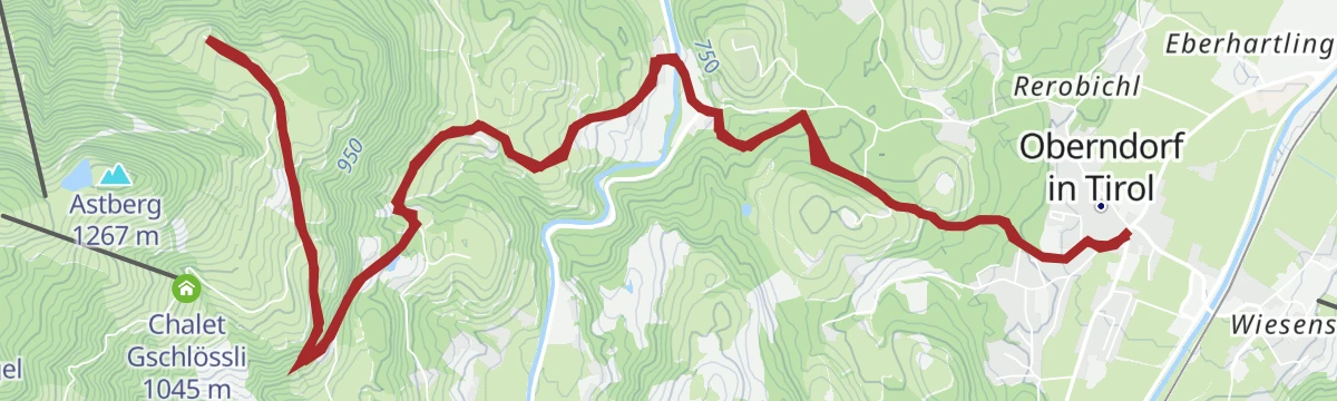
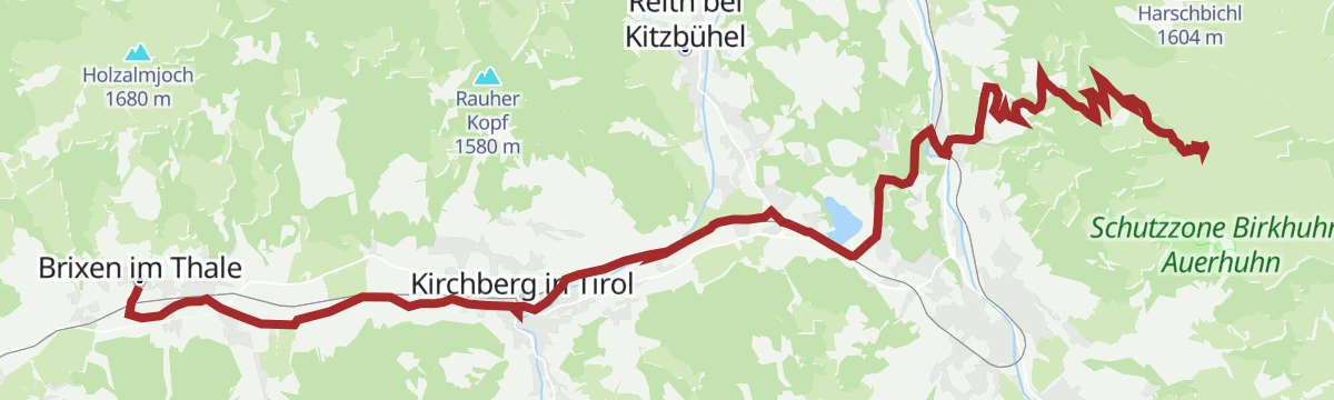
Von Oberndorf zum Hollenauerkreuz
Long, steady walk from Oberndorf to the Jausenstation Hollenauer Kreuz on the ridge above Reith, with valley views for most of the way.
- 14.2 km
- Distance
- 509 m
- Ascent
- 4 h 36 min
- Duration
- 1
- Check-ins
Bichlach-Seen-Radrunde
A long tour of the Bichlach lakes from Going, passing the Schwarzsee and the Hasenbergweiher and reaching Oberndorf in Tirol.
- 40.1 km
- Distance
- 465 m
- Ascent
- 3 h 60 min
- Duration
- 5
- Check-ins
 Tourist Information Center 756 m
- Tourismus Büro 659 m
- Hasenbergweiher 777 m
Wilde Kaiser Rennrad Runde
A full day on the road from Scheffau round to Walchsee and back through Kufstein, a circuit of the whole massif on valley roads.
- 95.3 km
- Distance
- 914 m
- Ascent
- 9 h 19 min
- Duration
- 24
- Check-ins
Bichlach - Das Weiher Paradies
Pond-to-pond wander through the Bichlach from Reith over the Rettenberg, collecting the Vogelsberg-Weiher and Hasenbergweiher en route.
- 11.8 km
- Distance
- 307 m
- Ascent
- 3 h 31 min
- Duration
- Rettenberg 876 m
- Vogelsberg-Weiher 770 m
- Hasenbergweiher 777 m
Radtour um die Hohe Salve
A cycle-path circuit of the Salve massif through the SkiWelt villages, from Hopfgarten around to Brixen im Thale.
- 50.6 km
- Distance
- 607 m
- Ascent
- 5 h 4 min
- Duration
- 21
- Check-ins
Reither Trail
Running-oriented loop from Reith over the Rettenberg and through the Bichlach woods, undulating rather than steep.
- 11.7 km
- Distance
- 296 m
- Ascent
- 3 h 29 min
- Duration
2 Astberg-Runde
A road circuit out of Reith bei Kitzbühel with a thousand metres of climbing, running over to Kitzbühel and past the Ellmauer Alm.
- 37.1 km
- Distance
- 999 m
- Ascent
- 4 h 14 min
- Duration
- 19
- Check-ins
Zum Schwarzsee über das Bichlach
From Oberndorf over the Rettenberg and through the Bichlach to Kitzbühel's warm Schwarzsee, passing the Vogelsberg-Weiher on the way.
- 10.5 km
- Distance
- 357 m
- Ascent
- 3 h 20 min
- Duration
- Rettenberg 876 m
- Vogelsberg-Weiher 770 m
Astberg über Kitzbühel
A long day on the road between Reith bei Kitzbühel and Kitzbühel, gathering its climbing on the way back up to the terrace above the valley.
- 43.8 km
- Distance
- 905 m
- Ascent
- 4 h 44 min
- Duration
- 18
- Check-ins
3 Pillersee-Runde
A long road day linking St. Johann in Tirol with Fieberbrunn and Kitzbühel, taking in the Seerestaurant Blattl on the lakeshore.
- 78.4 km
- Distance
- 988 m
- Ascent
- 7 h 53 min
- Duration
- 17
- Check-ins
6 Weltcup-Runde
A long valley circuit through the Kitzbühel World Cup country, by the Pflanzgarten hut and the Aschenau farm.
- 66.4 km
- Distance
- 818 m
- Ascent
- 6 h 39 min
- Duration
- 14
- Check-ins
Das Kitzbüheler Horn
A paved mountain climb from the valley floor up to the Alpenhaus at 1,662 m, starting near the Schwarzsee outside Kitzbühel.
- 21.6 km
- Distance
- 1 075 m
- Ascent
- 2 h 59 min
- Duration
- 12
- Check-ins
Die Weltcup Runde
A long road circuit through the Kitzbühel World Cup country, out by Kössen and back past the Fleckalmbahn.
- 74.8 km
- Distance
- 646 m
- Ascent
- 7 h 14 min
- Duration
- 8
- Check-ins
1 Kitzbüheler Runde
An easy valley round through the Leukental between Oberndorf and the Schwarzsee, with the lake's photo point at 785 m.
- 28.4 km
- Distance
- 354 m
- Ascent
- 2 h 51 min
- Duration
- 7
- Check-ins
Die Pillersee Runde
An 84 km road circuit from St. Johann in Tirol out to Brixen im Thale and back by the Fleckalmbahn, with modest climbing.
- 83.9 km
- Distance
- 734 m
- Ascent
- 8 h 8 min
- Duration
- 6
- Check-ins
St. Johann Runde
An easy 33 km round through the Leukental between Oberndorf, Kitzbühel and the Schwarzsee, mostly on the valley floor.
- 33.2 km
- Distance
- 353 m
- Ascent
- 3 h 17 min
- Duration
- 3
- Check-ins
No routes of this kind in Reith bei Kitzbühel yet.
The region's own picks
Featured route
Astberg Runde
Family-friendly 1.5 km round on the Astberg, passing the Astbergsee and the Blattlalm.
Planning a trip to Reith bei Kitzbühel?
Everything else Tyrol has, in one place


Take Reith bei Kitzbühel with you into the mountains
Every route on this page with 3D terrain, GPX navigation and offline maps — including the valleys with no signal.
Data sources
- Official website: kitzbuehel.com ↗
- Routes and highlights: Wilder Kaiser Tourismus, Kitzbühel Tourismus, Kitzbüheler Alpen Tourismus, Kufsteinerland
- Published as open data by the tourist boards named above.
- Region summary generated from the board's own material.
