
 Mountain hut
 Historic site


















Curated by Schladming-Dachstein Tourismus
Ramsau am Dachstein
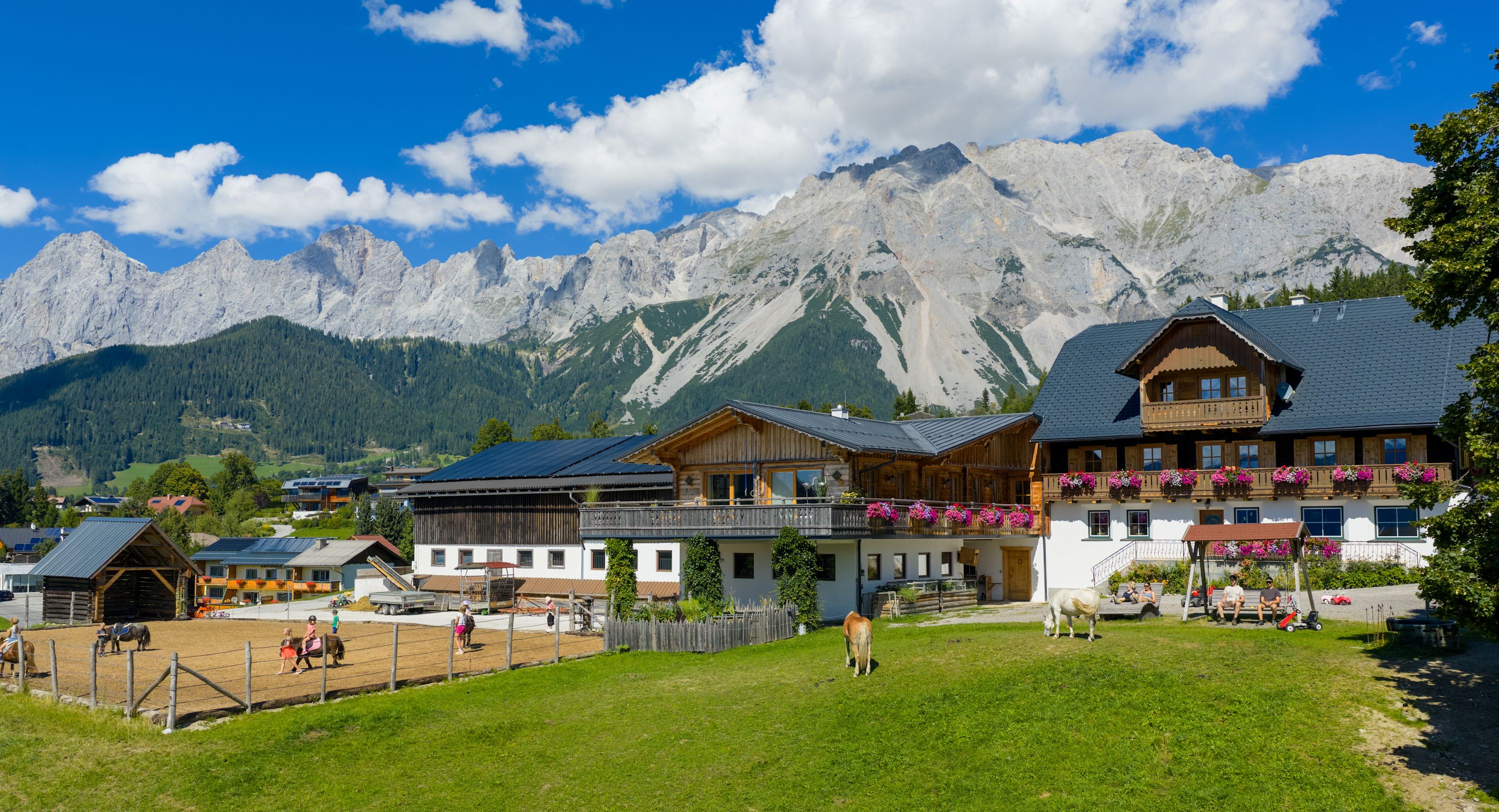
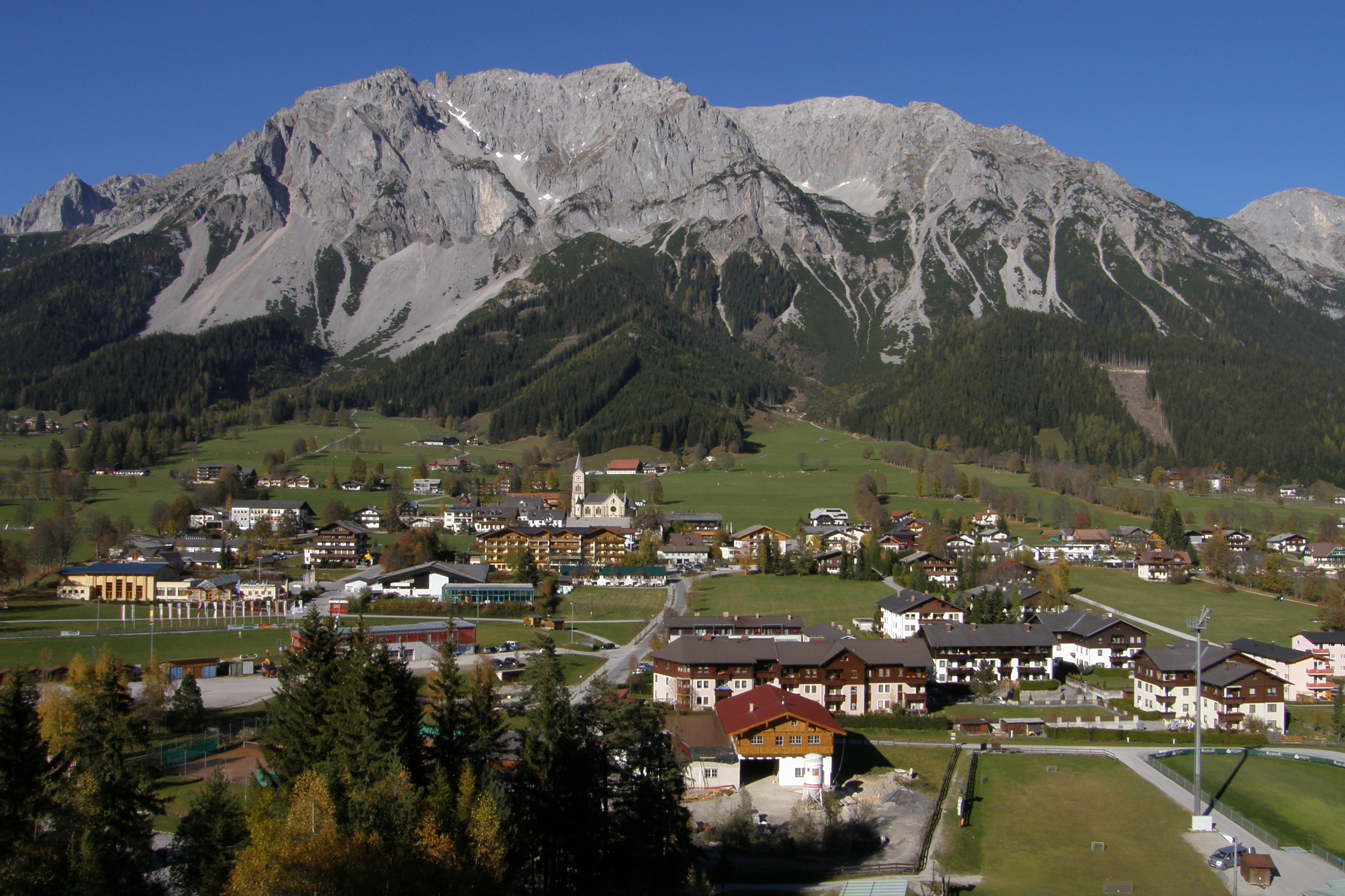
A sunlit shelf of farms at 1,100 m under the south walls of the Dachstein, a nordic-skiing stronghold with the glacier cable car climbing from its upper edge.
Photo: Vorwerk · CC BY-SA 4.0 licence
- 7Highlights
- 67Routes
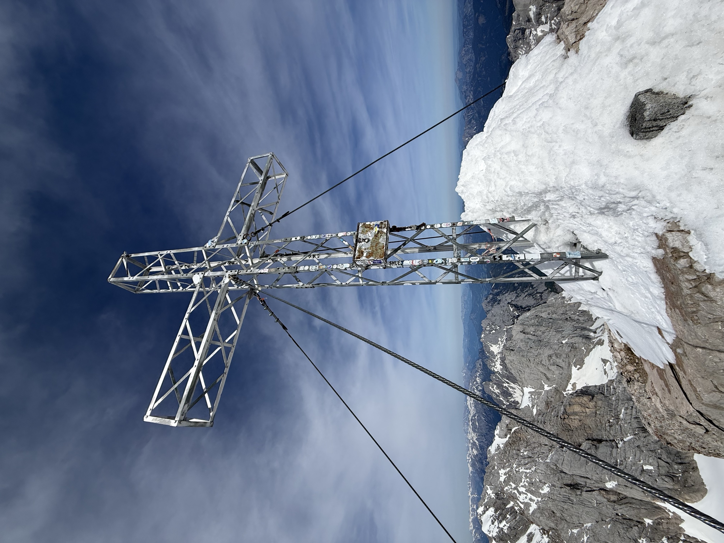
- Featured summit · Hoher Dachstein
Highlights
8 from neighbouring places
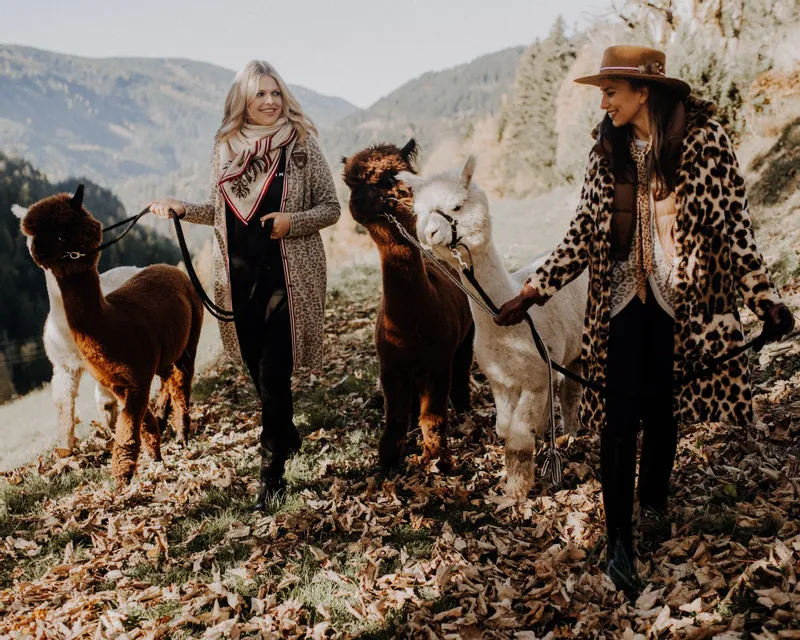
Dachstein Alpakas am Biobauernhof Grundlehner
An organic farm in Ramsau am Dachstein keeping alpacas, offering walks with the animals below the Dachstein south face.
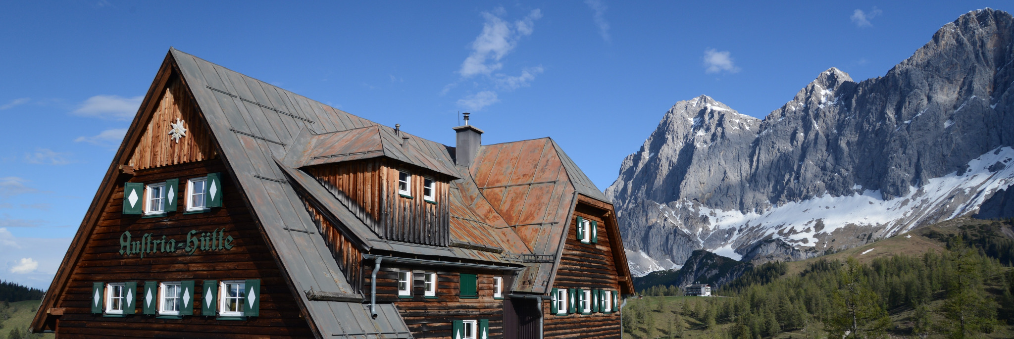
Dachstein Museum Austriahütte
A small alpine museum at the Austriahütte below the Dachstein south face, telling the climbing and natural history of the massif.
Slalom Kart
A downhill kart slalom at a farm in Ramsau am Dachstein, where karts weave through gates on a slope course.
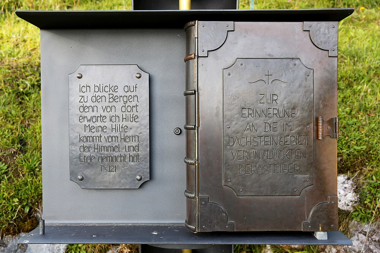
Dachstein Kircherl
A small chapel below the Dachstein south face above Ramsau, near the mountaineers' memorial on the way to the glacier cable car.
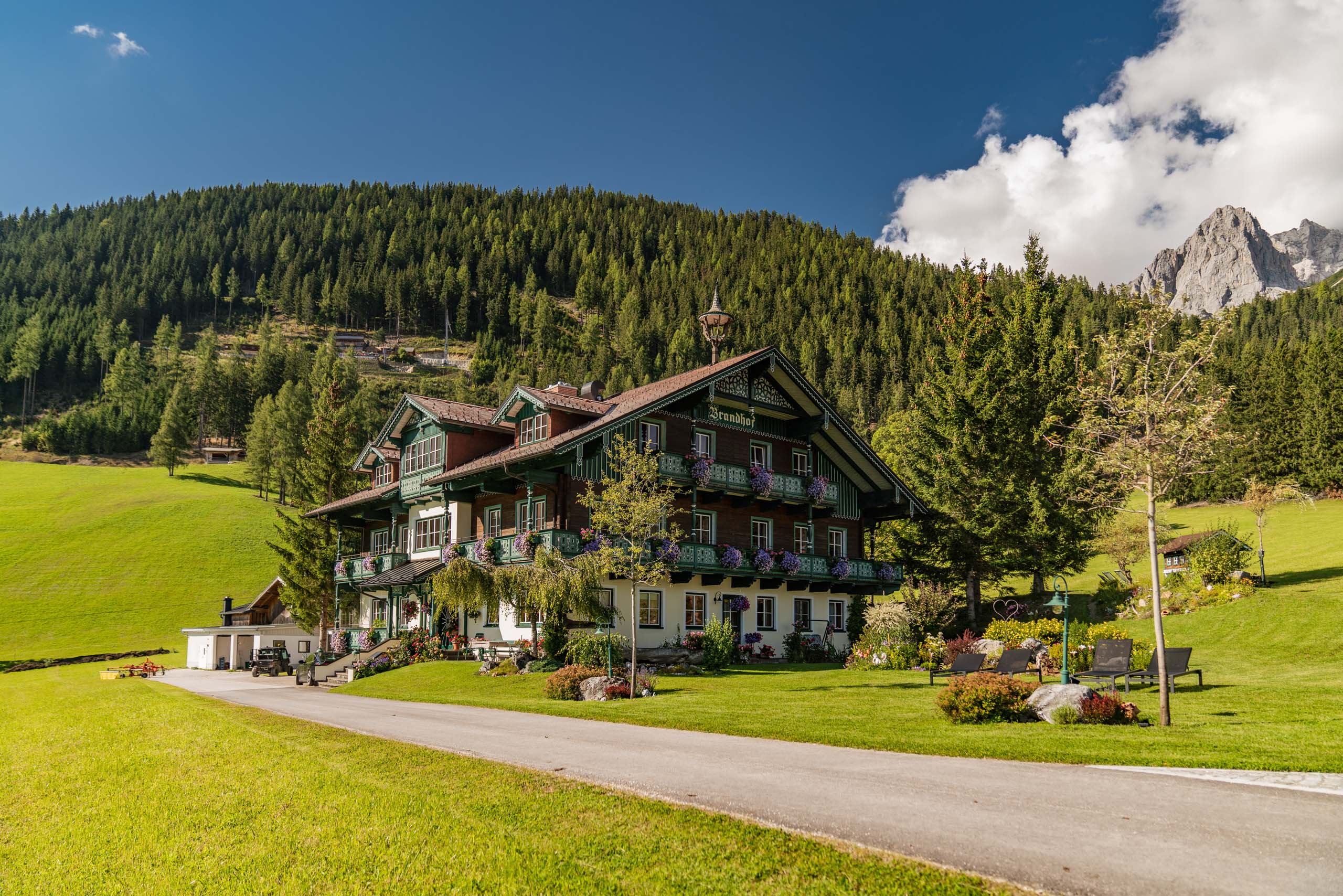
Brandhof Chalets am Berg
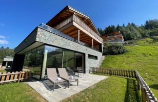
Chalets at the Brandhof near the Dachstein south-face road in Ramsau am Dachstein, rented as mountain accommodation at the foot of the cliffs.
Knaushof
A farm at Ramsau am Dachstein offering farm-stay rooms on the plateau at about 1,100 m, with the Dachstein cliffs behind.
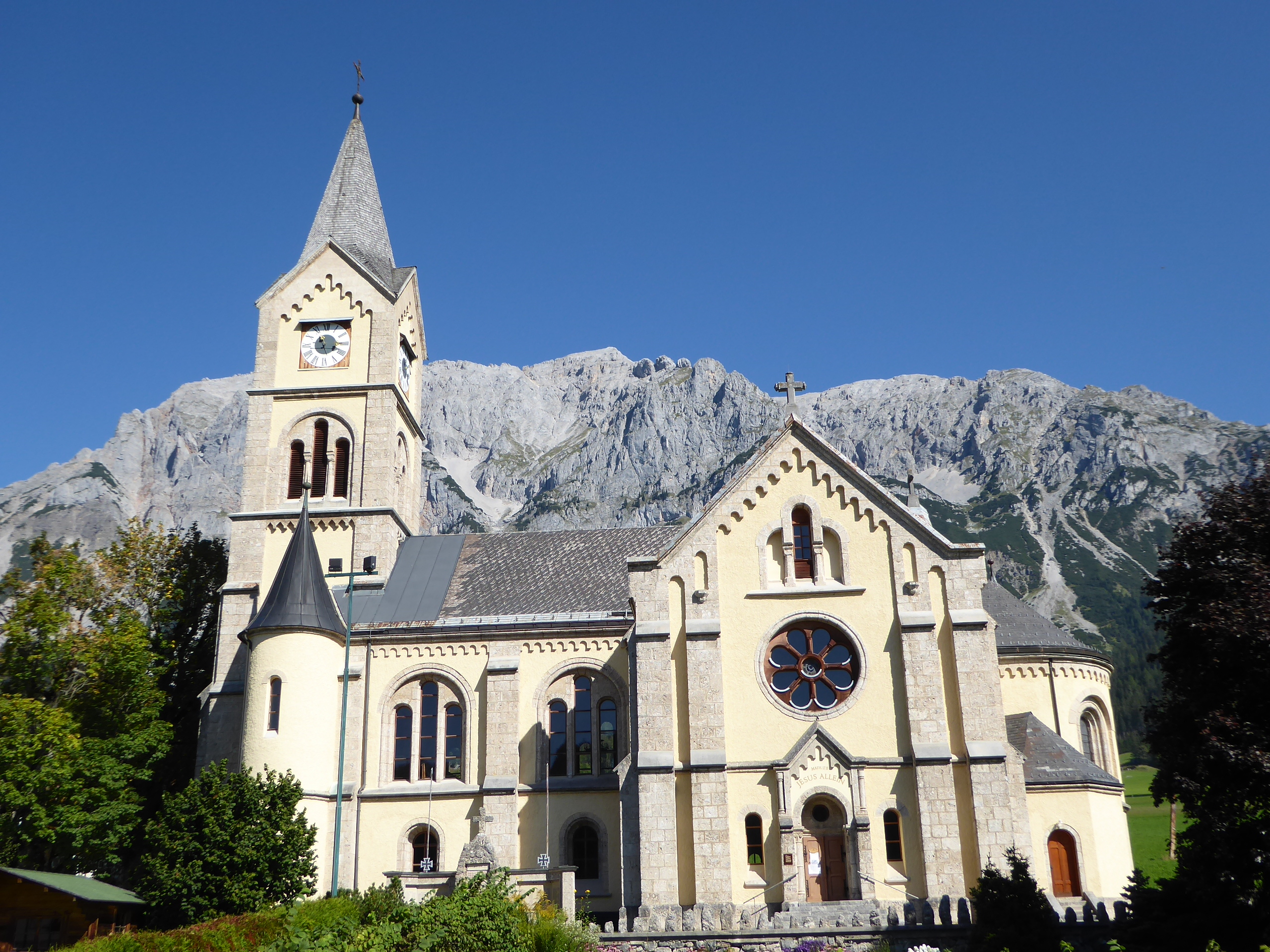
Evangelische Kirche in Ramsau Ort
The Protestant church in the centre of Ramsau am Dachstein, the main church of a plateau community with a strong Lutheran tradition.
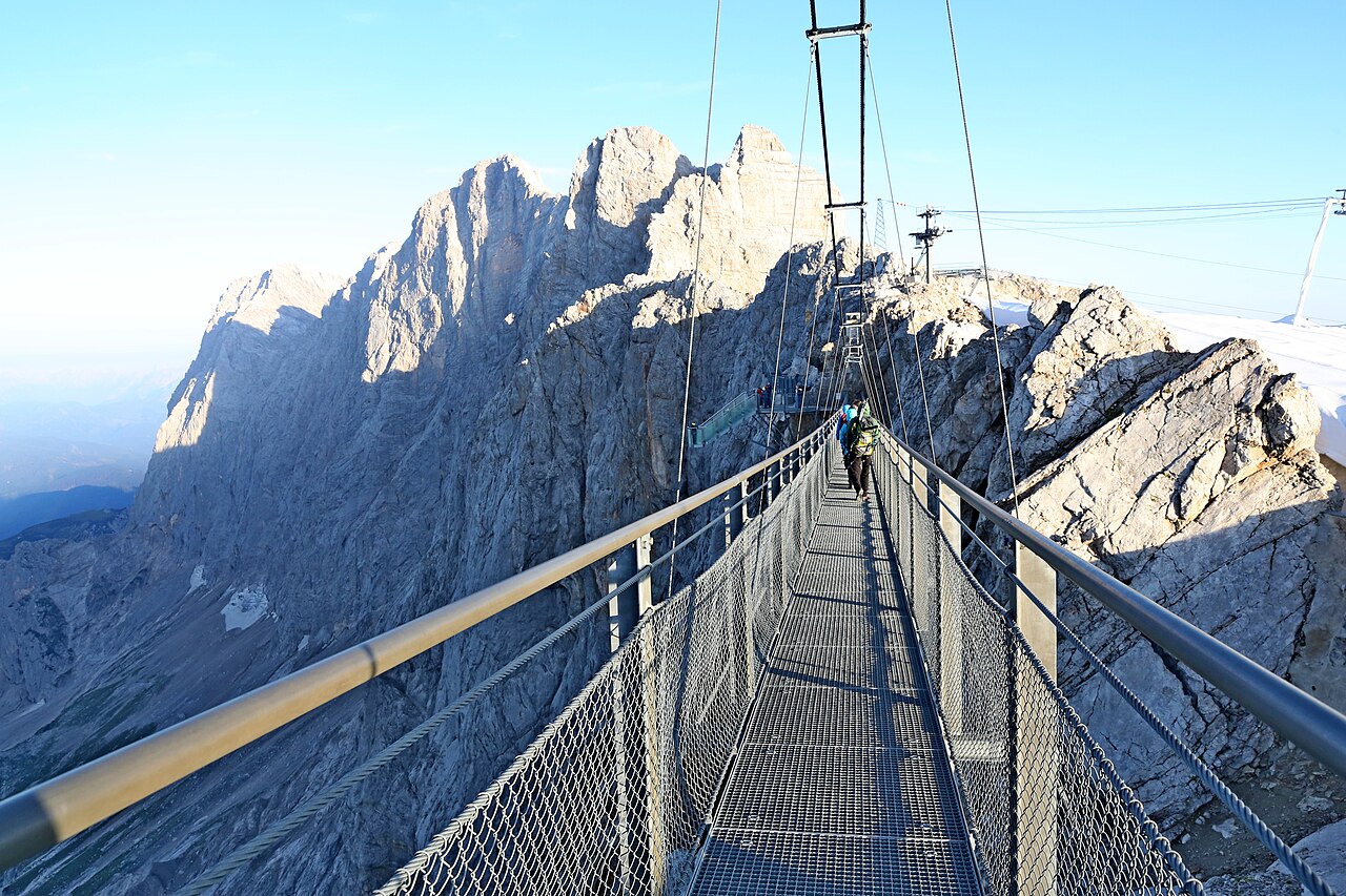
Hängebrücke
3.8 km away, in Obertraun
A suspension bridge at the Dachstein glacier station above Ramsau am Dachstein, leading towards the Stairway to Nothingness viewing platform.
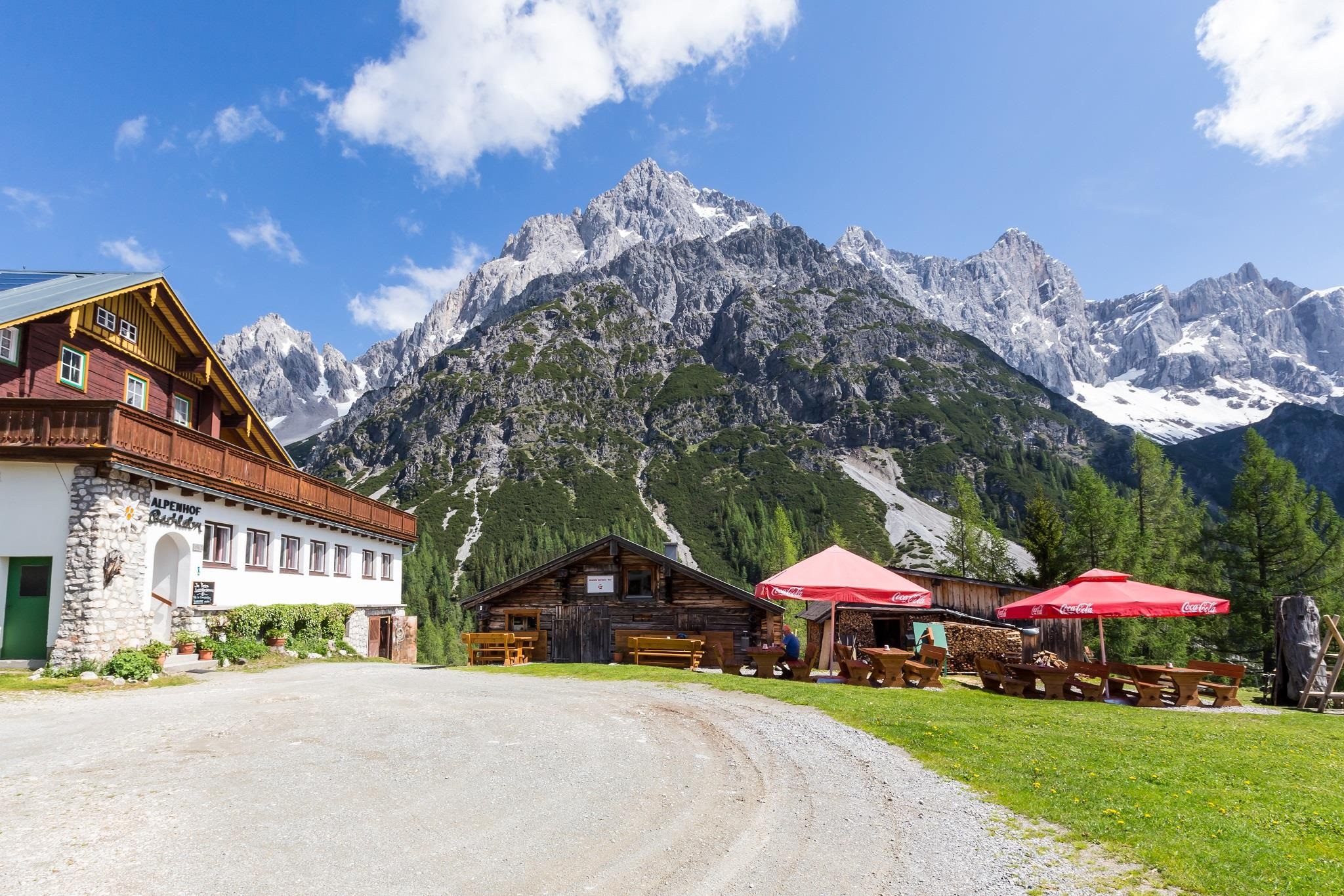
Bachlalm 1.484 m
5.3 km away, in Filzmoos
A mountain restaurant at 1,484 m above Filzmoos, a base for walks under the Bischofsmütze at the western end of the Dachstein group.
Pfarrkirche Pichl
5.6 km away, in Schladming
The parish church of Pichl west of Schladming, serving the village at the foot of the Reiteralm.
Hüttendorf Schladming
5.8 km away, in Schladming
A village of rental chalets on the western edge of Schladming, built in alpine hut style within walking reach of the lifts.
Freizeitpark Pichl
5.8 km away, in Schladming
A bathing lake and leisure ground at Pichl west of Schladming, with swimming, lawns and play areas at the foot of the Reiteralm.
Haus Crystal
5.9 km away, in Schladming
An apartment house in Schladming (745 m), listed among the region's hut-style lodgings close to the Planai base.
Minigolf Schladming
5.9 km away, in Schladming
A minigolf course in Schladming (745 m), offering a round of putting close to the town centre.
Annakapelle - Schladming
6.1 km away, in Schladming
A small chapel in the centre of Schladming, part of the old mining town's ensemble of historic religious buildings.
Nothing of this kind in Ramsau am Dachstein.
Routes
50 routes, an even mix of activities · see the rest on schladming-dachstein.at ↗
Johann Klettersteig
The long classic via ferrata up the Dachstein south face, approached from the Dachsteinsüdwandhütte; snow can cover the first cables well into summer, and the exit leads over the glacier past the Seethalerhütte.
- 5.9 km
- Distance
- 550 m
- Ascent
- 4 h 21 min
- Duration
- 149
- Check-ins
Hunerschartensteig
A secured route from the Dachsteinsüdwandhütte through the Schwadrinn scree gully up to the Hunerscharte, also handy as a descent when the last cable car has gone.
- 4.1 km
- Distance
- 200 m
- Ascent
- 2 h 5 min
- Duration
- 117
- Check-ins
Ramsauer Klettersteig
From the glacier cable car the route passes through the Rosmarie tunnel, crosses the Edelgrießkar and follows secured rock near the Gamsfeldspitze, descending past the Guttenberghaus, Styria's highest hut.
- 13.6 km
- Distance
- 350 m
- Ascent
- 5 h 57 min
- Duration
- 114
- Check-ins
Irg 2 Klettersteig
Reached through the Rosmarie tunnel and across the upper Edelgrießkar, this secured line above the Edelgrießhöhe is usually descended via the Koppenkarstein west ridge to the Austriascharte.
- 3.7 km
- Distance
- 300 m
- Ascent
- 2 h 28 min
- Duration
- 100
- Check-ins
Koppenkarstein Westgrat Klettersteig
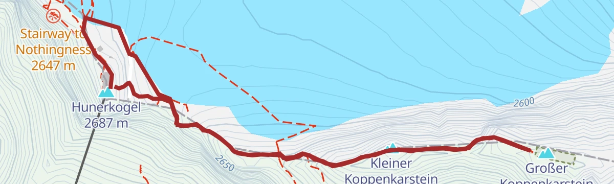
A west-ridge via ferrata starting near the Hunerscharte, with a rope bridge near the Austriascharte and a return past the Rosmarie tunnel ladder to the groomed glacier track.
- 2.7 km
- Distance
- 300 m
- Ascent
- 2 h 18 min
- Duration
- 100
- Check-ins
Anna Klettersteig
A lower companion route to the long Dachstein south-face climbs, reached from the Dachsteinsüdwandhütte along the Pernerweg; many parties use its approach as a warm-up.
- 6.1 km
- Distance
- 270 m
- Ascent
- 3 h 1 min
- Duration
- 38
- Check-ins
Eselstein Westgrat Klettersteig
A short west-ridge via ferrata above the Guttenberghaus, starting on the crest at the Gruberscharte; the hut approach itself is a two-and-a-half-hour, 1,000 m walk-in.
- 3.7 km
- Distance
- 120 m
- Ascent
- 1 h 43 min
- Duration
- 22
- Check-ins
Eselstein Jubiläums-Klettersteig
The longest of the secured routes on the peak above the Guttenberghaus, reached by a short, steep scree approach; the descent traverses the north flank back to the Feisterscharte.
- 3.0 km
- Distance
- 280 m
- Ascent
- 2 h 13 min
- Duration
- 20
- Check-ins
Austria Klettersteig Sinabell
A secured line up the rock barrier of the Sinabell, approached from the Guttenberghaus toward the Feisterscharte; from the top a grassy back ridge leads down to rejoin the marked paths.
- 1.7 km
- Distance
- 220 m
- Ascent
- 1 h 37 min
- Duration
- 18
- Check-ins
Rosina Klettersteig
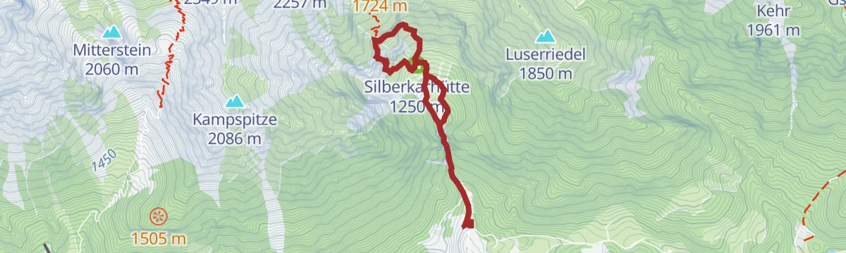
A via ferrata in the Silberkarklamm that starts across a rope bridge over the stream, above the entry of the Hias route; the exit path leads on toward the Silberkarhütte.
- 3.5 km
- Distance
- 130 m
- Ascent
- 1 h 38 min
- Duration
- 14
- Check-ins
Siega Klettersteig
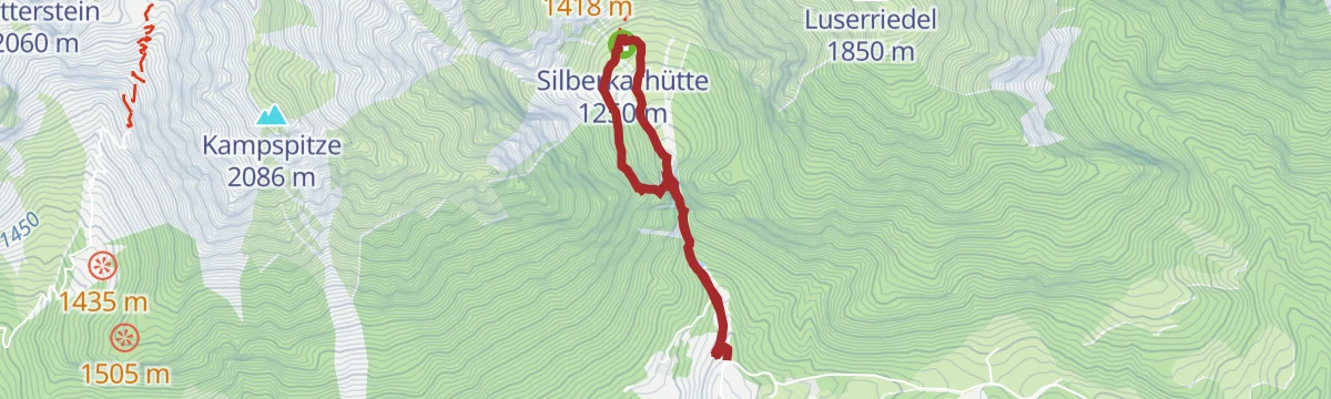
The highest of the Silberkarklamm via ferratas, starting above the Silberkarhütte after a steep approach through dwarf pine, with a walk-off back down past the hut.
- 5.0 km
- Distance
- 120 m
- Ascent
- 2 h 9 min
- Duration
- 14
- Check-ins
Heidi Klettersteig
One of the family via ferratas by the Alte Mühle in Ramsau, only minutes from the car park, with a return along the nature trail and the Ramsaubach.
- 2.3 km
- Distance
- 150 m
- Ascent
- 1 h 19 min
- Duration
Hias Klettersteig
The Silberkarklamm's best-known short via ferrata, entered over a prominent rope bridge just above the gorge staircases; it combines well with the Rosina and Siega lines.
- 2.8 km
- Distance
- 130 m
- Ascent
- 1 h 24 min
- Duration
Kali Klettersteig
The quickest of the Alte Mühle via ferratas to reach, a few minutes along the Hofrat-Gruber-Weg from the bus stop, with an easy loop return past the Ramsaubach.
- 1.9 km
- Distance
- 100 m
- Ascent
- 58 min
- Duration
Kalo Klettersteig
Another of the Alte Mühle practice climbs in Ramsau, sharing the scree-slope approach from the old mill and the nature-trail descent with its neighbours.
- 2.3 km
- Distance
- 140 m
- Ascent
- 1 h 15 min
- Duration
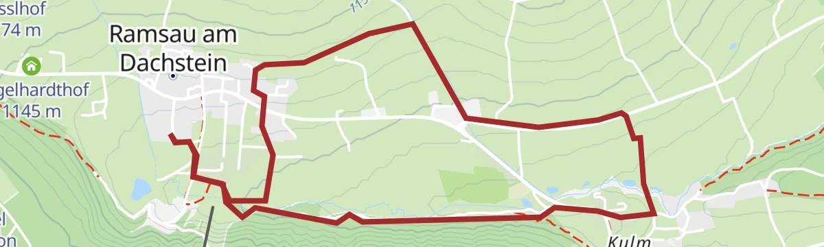
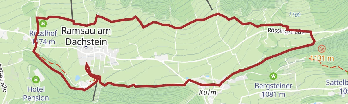
Leitenrundweg
Easy round along the sunny slopes of Ramsau am Dachstein, linking farmsteads such as the Burglehnerhof on quiet paths beneath the Dachstein south walls.
- 6.5 km
- Distance
- 176 m
- Ascent
- 1 h 58 min
- Duration
- 3
- Check-ins
Etappe 2: Dachstein Rundwanderweg
The second day of the Dachstein circuit, a high traverse from the Hofpürglhütte over the Kesselwand, the Rinderfeld and the Sulzenhals to the Dachsteinsüdwandhütte.
- 10.9 km
- Distance
- 832 m
- Ascent
- 5 h 8 min
- Duration
- 54
- Check-ins
Wanderung durchs Tor
An alpine path beneath the south walls of the Dachstein, Mitterspitz and Torstein, partly over scree and forest road, taking in the Tor and the Bachlalm.
- 16.6 km
- Distance
- 932 m
- Ascent
- 7 h 24 min
- Duration
- 43
- Check-ins
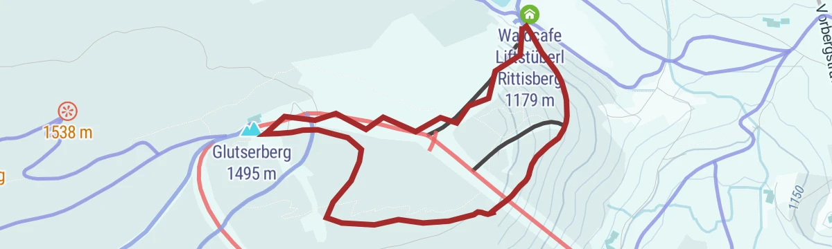
Skitour am Märchenweg Rittisberg
Beginner-friendly ski tour up the Rittisberg in Ramsau, following the fairy-tale trail corridor to the Glutserberg top with an easy descent past the Rittisstadl.
- 2.7 km
- Distance
- 302 m
- Ascent
- 302 m
- Descent
- 1 h 7 min
- Duration
- 36
- Check-ins
Skitour mit Besteigung Dachsteingipfel
Glacier ski tour from the Hunerkogel cable-car station across to the Gjaidsteinsattel, finishing with the secured climb to the Hoher Dachstein at 2,995 m.
- 4.8 km
- Distance
- 415 m
- Ascent
- 415 m
- Descent
- 1 h 44 min
- Duration
- 109
- Check-ins
Große Tor-Tour
One of the Dachstein's major ski-touring days, over 2,000 m of climbing through the rock gateway of the Tor, with the Dachsteinsüdwandhütte and the Lärchbodenalm bracketing the route.
- 20.4 km
- Distance
- 2 116 m
- Ascent
- 2 116 m
- Descent
- 8 h 1 min
- Duration
- 82
- Check-ins
Vorberg Trail | 601
A short and easy singletrack on the wooded slopes above Ramsau am Dachstein, gaining barely any height over five kilometres.
- 5.0 km
- Distance
- 123 m
- Ascent
- 34 min
- Duration
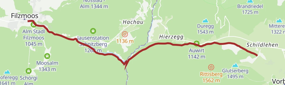
Ramsau Beach
An easy run across to the Ramsau side below the Rittisberg, passing the Liftstüberl and the Auwirt.
- 9.1 km
- Distance
- 299 m
- Ascent
- 1 h 3 min
- Duration
- 8
- Check-ins
Dachstein Panorama Tour
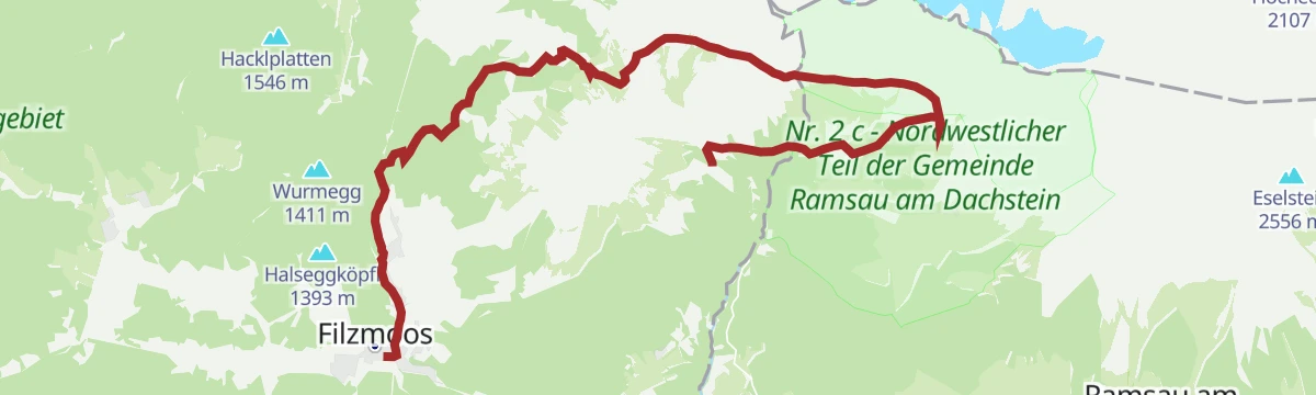
A long ride from Filzmoos over to Ramsau and up to the Berghotel Türlwand at 1,689 m under the Dachstein, returning past the Brandalm.
- 67.6 km
- Distance
- 1 772 m
- Ascent
- 7 h 40 min
- Duration
- 116
- Check-ins
Türlwand-Hochwurzen Rennradrunde
A hard road circuit above Schladming, climbing to the Dachstein cable-car station at 1,689 m and crossing the Ramsau plateau on the way back.
- 60.1 km
- Distance
- 1 696 m
- Ascent
- 6 h 56 min
- Duration
- 95
- Check-ins
Ramsau-Beachrunde
Easy round on Ramsau's sunny plateau between the Knollhof and the Rösslhof, level enough for an after-lunch walk with Dachstein views the whole way.
- 6.1 km
- Distance
- 142 m
- Ascent
- 1 h 46 min
- Duration
- 2
- Check-ins
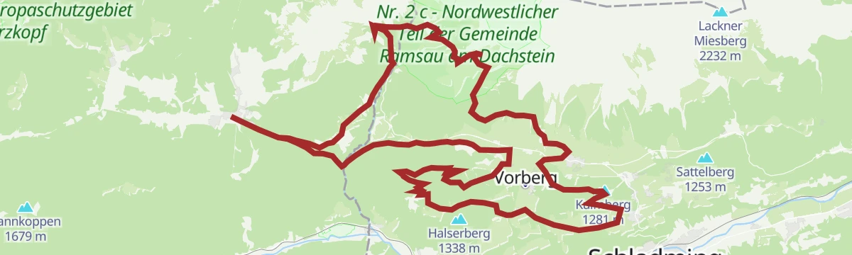
Rittisberg Walking-Runde
A long walking circuit around the Rittisberg above Ramsau, starting from the Arnika trailhead in Pichl-Vorberg and passing the Sonnenalm on mostly moderate gradients.
- 13.2 km
- Distance
- 534 m
- Ascent
- 4 h 25 min
- Duration
- 51
- Check-ins
Nordic Walking Rittisbergrunde
An extended Nordic-walking round of nearly 19 km on the Ramsau plateau, linking the Rittisberghütte, the Wiesmahd Alm and a chain of inns below the Dachstein walls.
- 18.8 km
- Distance
- 543 m
- Ascent
- 5 h 45 min
- Duration
- 23
- Check-ins
Skitour zur Brandalm
A gentle ski tour on the Ramsau side up to the Brandalm, with the little Dachstein-Kircherl chapel and the Dachsteinhaus nearby beneath the south walls.
- 5.8 km
- Distance
- 316 m
- Ascent
- 316 m
- Descent
- 1 h 50 min
- Duration
- 27
- Check-ins
Die klassische Tour "Über den Stein" zum Guttenberghaus
A plateau crossing on skis from the Dachstein glacier to the Guttenberghaus, followed by the long descent past the Lärchbodenalm into the Ennstal.
- 11.4 km
- Distance
- 204 m
- Ascent
- 204 m
- Descent
- 3 h 4 min
- Duration
- 108
- Check-ins
Skitour Sinabell - Guttenberghaus
Serious winter ascent from the Feister parking above Ramsau past the Lärchbodenalm to the Feisterscharte and the Guttenberghaus, topping out on the Sinabell.
- 11.2 km
- Distance
- 1 234 m
- Ascent
- 1 234 m
- Descent
- 4 h 35 min
- Duration
- 28
- Check-ins
Panorama Runde Ramsau (SD 305)
A long loop out of Filzmoos onto the Ramsau plateau, with its high point at the Türlwand at 1,689 m and a stop at the Dachsteinhaus.
- 63.2 km
- Distance
- 1 639 m
- Ascent
- 7 h 9 min
- Duration
- 116
- Check-ins
Panorama Rennradrunde
A road loop from Schladming climbing to the Ramsau plateau below the Dachstein, then running out to the Tauernalm before the valley return.
- 52.0 km
- Distance
- 1 411 m
- Ascent
- 5 h 57 min
- Duration
- 51
- Check-ins
Kulmbergrunde - Lauf und Nordic Walking Route
Shorter running and Nordic-walking version of the Kulmberg round on Ramsau's plateau, gently rolling on farm lanes with the Dachstein overhead.
- 5.2 km
- Distance
- 91 m
- Ascent
- 1 h 27 min
- Duration
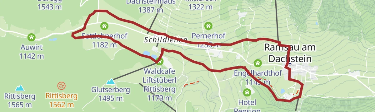
Schildlehenrunde
A moderate Ramsau loop through the Schildlehen farms below the Dachstein south walls, passing the Knollhof restaurant and the Alpin Center on quiet paths.
- 9.5 km
- Distance
- 187 m
- Ascent
- 2 h 41 min
- Duration
- 9
- Check-ins
Rötelstein
A 1,140 m climb past the Schaidlalm to the Rötelstein, a viewpoint summit facing Torstein, Mitterspitz and Dachstein.
- 5.7 km
- Distance
- 1 098 m
- Ascent
- 4 h 6 min
- Duration
- 16
- Check-ins
Skitour Gruberscharte
A glacier ski tour served by the Dachstein Gletscherbahn: from the Hunerkogel across the plateau to the Gruber Scharte, with a long descent past the Lärchbodenalm toward the valley.
- 10.1 km
- Distance
- 363 m
- Ascent
- 363 m
- Descent
- 2 h 57 min
- Duration
- 96
- Check-ins
Scheichenspitze - hochalpine Skitour
High-alpine ski tour gaining nearly 1,800 m from Ramsau via the Guttenberghaus and the Gruber Scharte to the Scheichenspitze, descending over the Edelgrießhöhe — for experienced tourers.
- 17.9 km
- Distance
- 1 779 m
- Ascent
- 1 779 m
- Descent
- 6 h 50 min
- Duration
- 26
- Check-ins
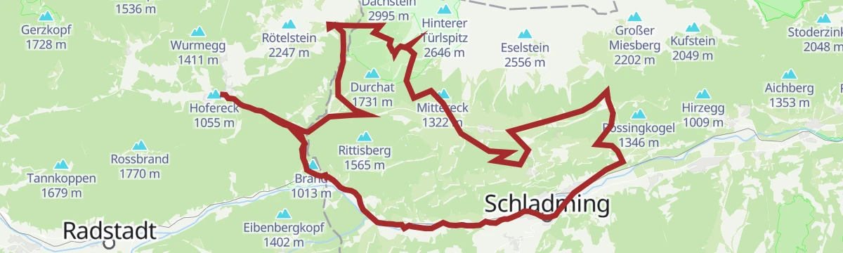
Ramsau Runde (SD 307)
A hard circuit over the Rittisberg to the terraces of Ramsau am Dachstein, climbing past the Sonnenalm to the Türlwand.
- 53.8 km
- Distance
- 1 608 m
- Ascent
- 6 h 17 min
- Duration
- 113
- Check-ins
Filzmoos - Ennstal Rennradrunde
A road circuit from Schladming down the Ennstal to Haus im Ennstal, then up to Filzmoos and back along the Ramsau terrace.
- 75.2 km
- Distance
- 1 284 m
- Ascent
- 7 h 53 min
- Duration
- 34
- Check-ins
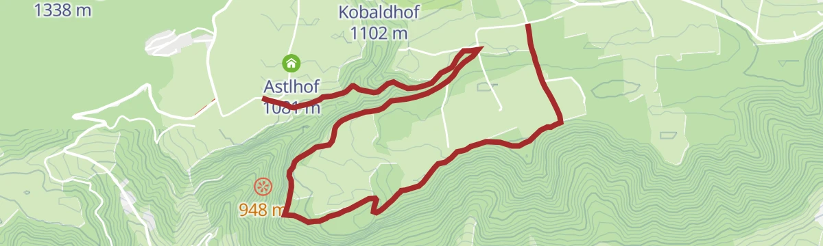
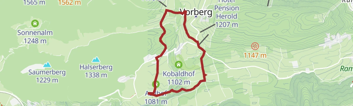
Vorbergrunde
Easy round through the scattered farm settlement of Vorberg above Pichl an der Enns, starting by the Hotel Steirerhof and passing the Astlhof on sunny hillside lanes.
- 5.2 km
- Distance
- 143 m
- Ascent
- 1 h 35 min
- Duration
Kulmbergrunde Ramsau
Roomy circuit around the Kulmberg on Ramsau's plateau, touching the Rittisberghütte and offering steady views of the Dachstein walls without serious climbing.
- 11.0 km
- Distance
- 231 m
- Ascent
- 3 h 9 min
- Duration
- 7
- Check-ins
Skitour "durch die Schlitzen"
Ski tour above Ramsau threading the passage known as the Schlitzen, past the Brandalm and Glös-Alm beneath the Dachstein south face, with the little Dachstein-Kircherl chapel on the way.
- 9.7 km
- Distance
- 561 m
- Ascent
- 561 m
- Descent
- 3 h 6 min
- Duration
- 46
- Check-ins
Kleine Tor-Tour
One-way ski tour from the Türlwand area up through the Gruber Scharte and over the Edelgrießhöhe, finishing at the Feister valley car park with a bus link back to the Gletscherbahn.
- 10.8 km
- Distance
- 961 m
- Ascent
- 961 m
- Descent
- 3 h 53 min
- Duration
- 18
- Check-ins
Panorama Runde | 305
A long circuit across the Ramsau plateau, from the valley at around 740 m up to the Türlwand and the Gasthof Hunerkogel below the Dachstein.
- 58.7 km
- Distance
- 1 858 m
- Ascent
- 6 h 58 min
- Duration
- 108
- Check-ins
Steirischer Bodensee Rennradrunde
A road-bike circuit from Haus im Ennstal that leaves the flat Enns valley for a long climb to the lake, then returns along the river.
- 54.4 km
- Distance
- 1 205 m
- Ascent
- 5 h 58 min
- Duration
- 29
- Check-ins
WM-Weg Ramsau
Very short, level walk around the reservoir pond at Ramsau's World Championship nordic stadium — a stroll rather than a hike, easy with small children.
- 1.1 km
- Distance
- 15 m
- Ascent
- 18 min
- Duration
 Speicherteich WM-Stadion 1 114 m
Frühlingslauf Ramsau
Rolling ten-kilometre running loop across the Ramsau plateau, passing the Knollhof and Rösslhof farms with the Dachstein south walls in view.
- 10.2 km
- Distance
- 240 m
- Ascent
- 2 h 59 min
- Duration
- 1
- Check-ins
Skitour Kraml-Lahn via Skiroute Ramsau und Brandriedel
Ski tour above Ramsau climbing past the Brandalm toward the Brandriedel and the Mittereck, then descending the Kraml-Lahn — a varied round beneath the Dachstein south face.
- 7.0 km
- Distance
- 679 m
- Ascent
- 679 m
- Descent
- 2 h 38 min
- Duration
- 36
- Check-ins
Skitour Sulzenhals mit Variante Windlegerscharte
Demanding ski tour past the Schaidlalm to the Sulzenhals, with a variant climbing on to the Windlegerscharte and the Windlegerkopf in the western Dachstein.
- 10.9 km
- Distance
- 1 283 m
- Ascent
- 1 283 m
- Descent
- 4 h 41 min
- Duration
- 3
- Check-ins
No routes of this kind in Ramsau am Dachstein yet.
The region's own picks

Featured route
Leitenrundweg
Easy round along the sunny slopes of Ramsau am Dachstein, linking farmsteads such as the Burglehnerhof on quiet paths beneath the Dachstein south walls.
Planning a trip to Ramsau am Dachstein?
Everything else Styria has, in one place


Take Ramsau am Dachstein with you into the mountains
Every route on this page with 3D terrain, GPX navigation and offline maps — including the valleys with no signal.
Data sources
- Official website: schladming-dachstein.at ↗
- Routes and highlights: Schladming-Dachstein Tourismus, Filzmoos Tourismus
- Published as open data by the tourist boards named above.
- Region summary generated from the board's own material.
