
 Historic site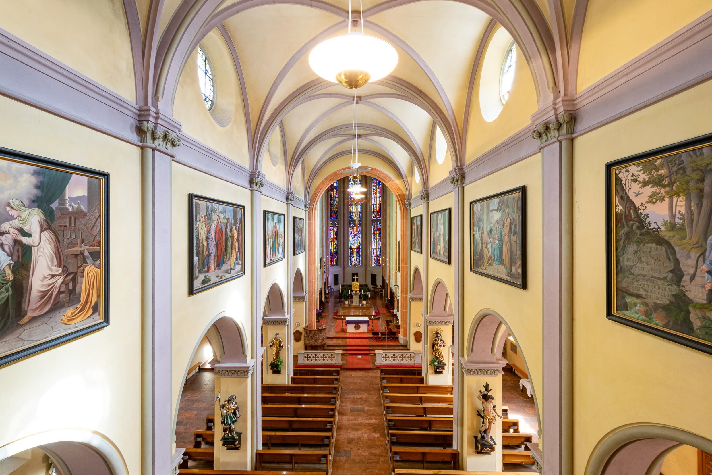
 Cable car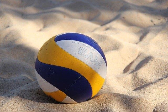


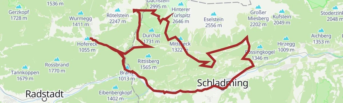




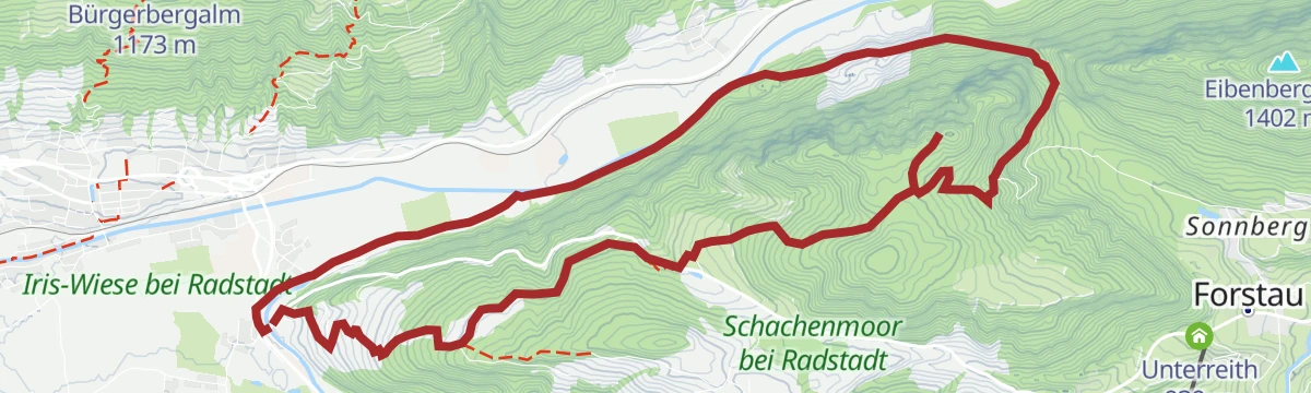


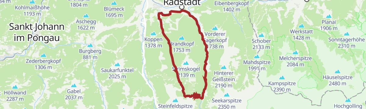
Curated by Salzburger Sportwelt
Radstadt
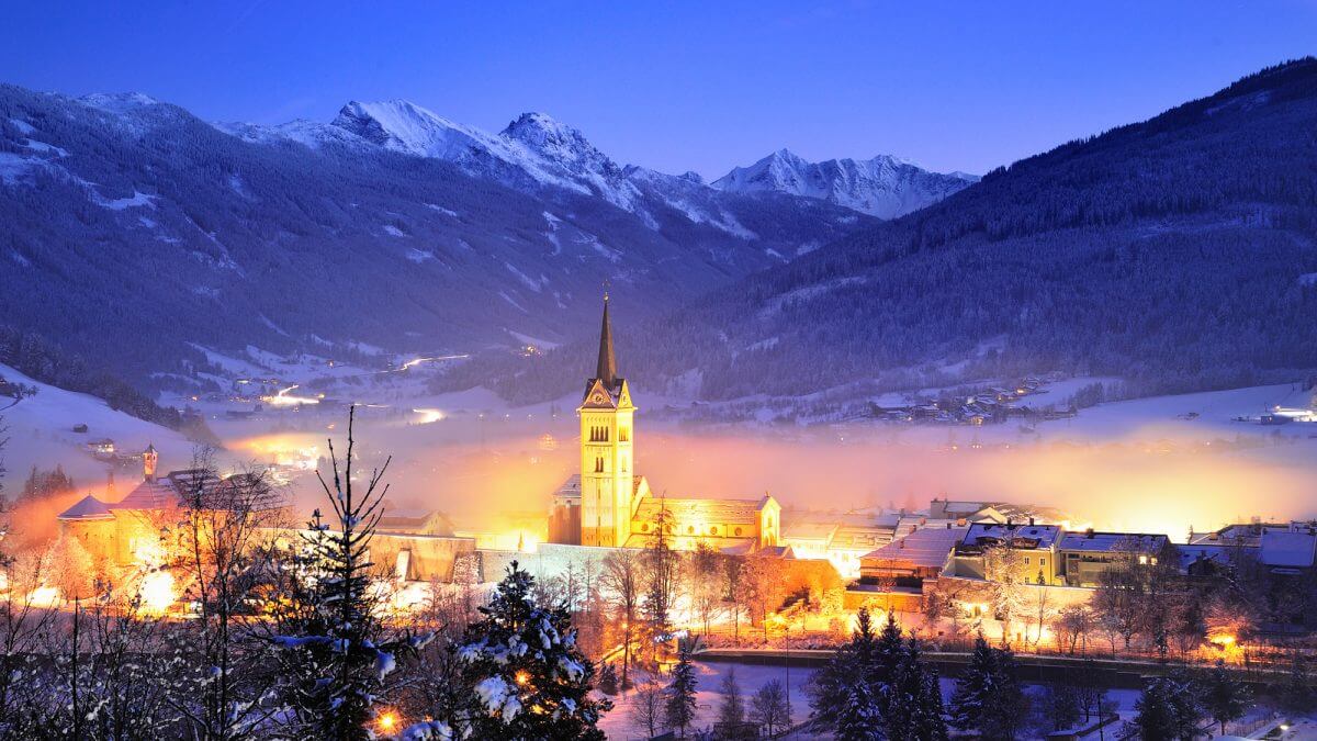
The walled old town of the Enns valley at the northern approach to the Radstädter Tauern, its medieval core still ringed by towers and remnants of moat.
- 31Highlights
- 103Routes
- Featured summit · Rossbrand
Highlights
The 20 highest-rated · see the rest on salzburgersportwelt.com ↗
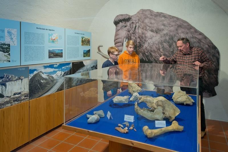
Museum Schloss Lerchen
The town museum of Radstadt in Schloss Lerchen, a former mansion standing just outside the old town walls.
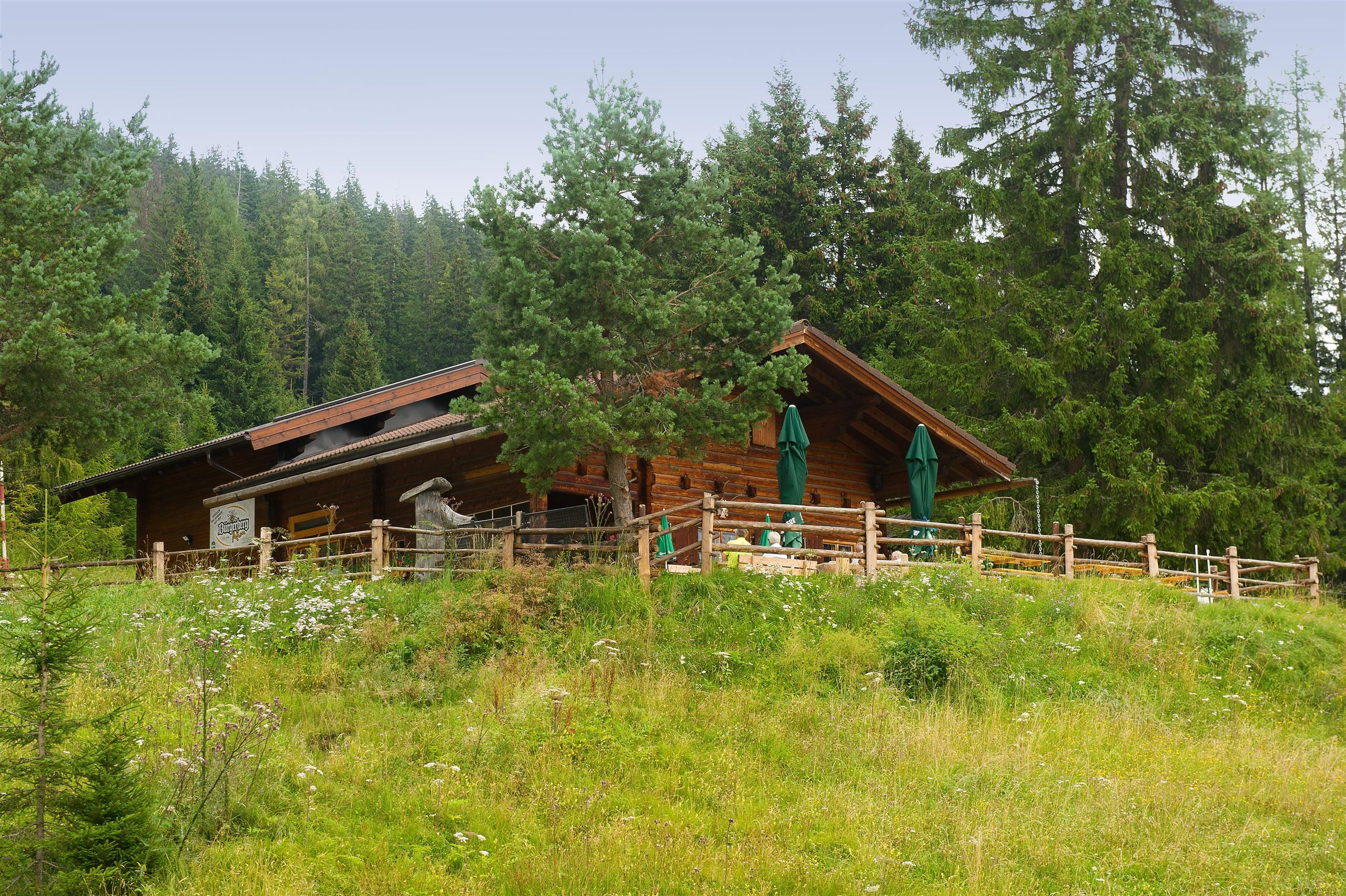
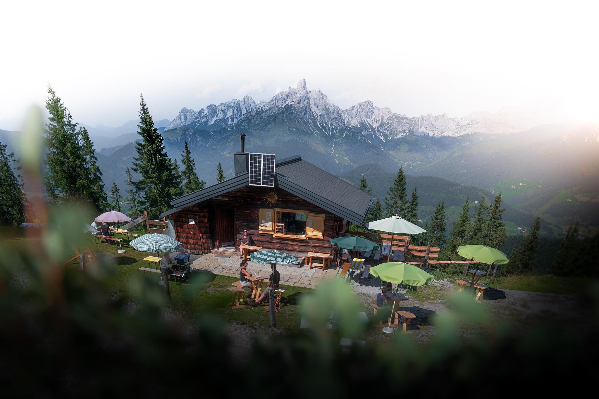
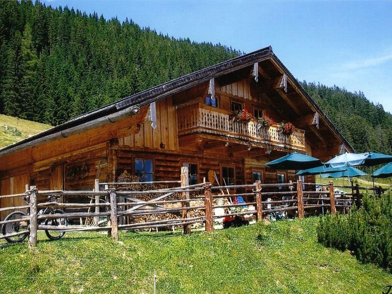
Bürgerbergalm
An alpine pasture hut on the Bürgerberg above Radstadt, a short walk up from the town in the Pongau.
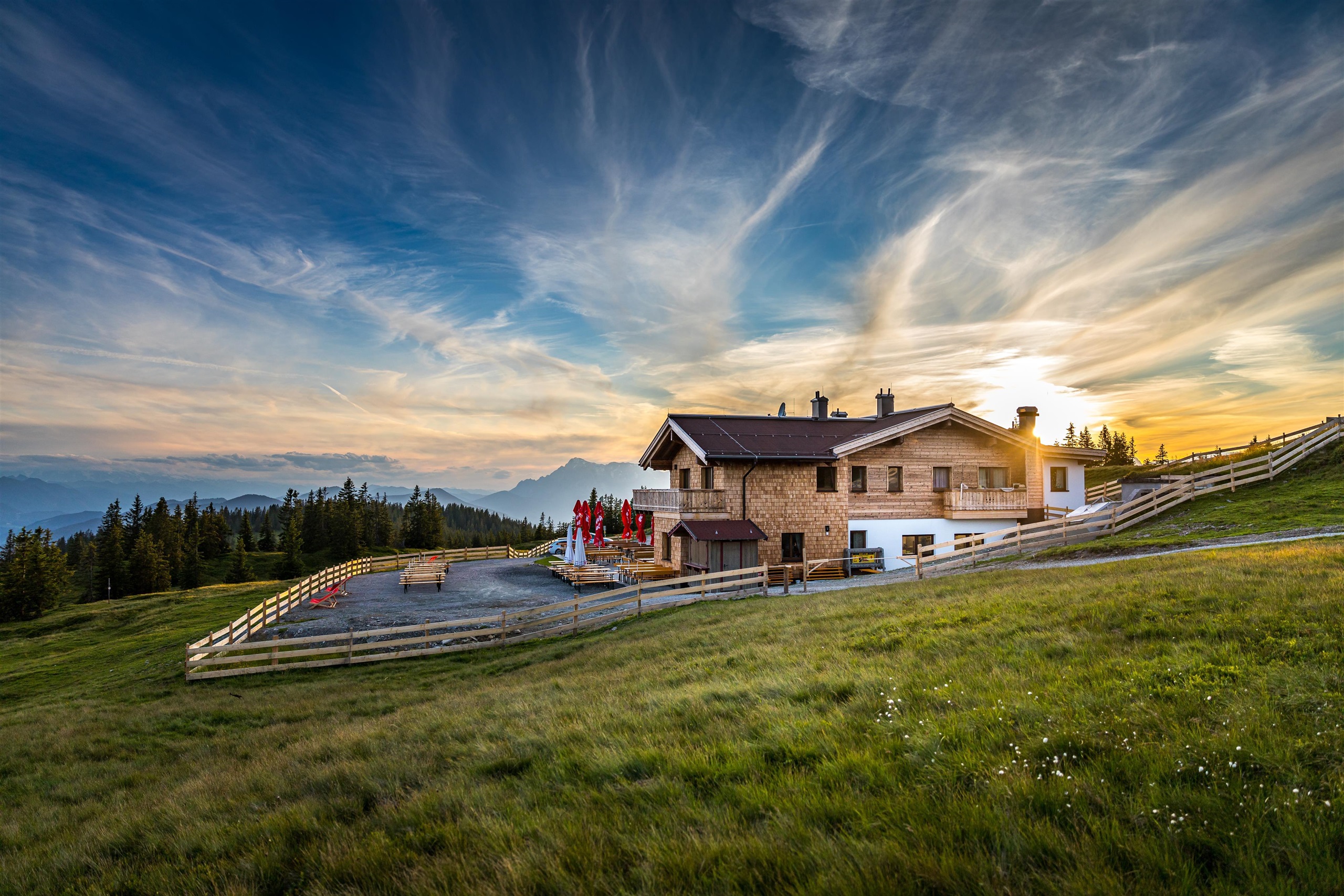
Hochzeitslocation: Radstädter Hütte
The Radstädter Hütte in the mountains above Radstadt, an alpine pasture inn that caters Salzburg mountain weddings and parties.
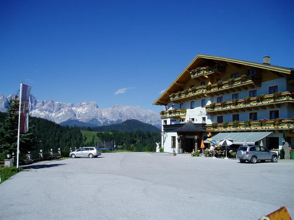
Innviertler Berggasthof
A mountain inn on the slopes east of Radstadt in the Pongau, reached on foot or by mountain road.
Karhütte
An alpine pasture hut in the mountains southwest of Filzmoos; the name Kar refers to the glacial corrie it sits in, and regional dishes are served in summer.
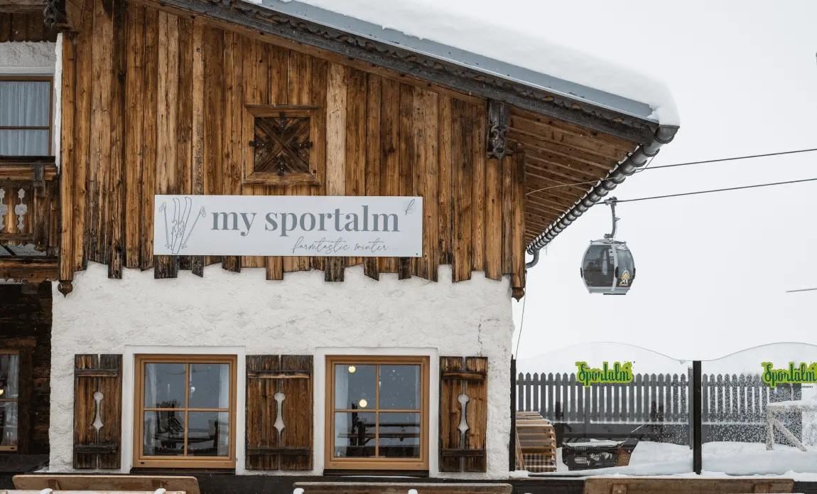
My Sportalm
A ski hut and mountain restaurant on the Altenmarkt ski slopes, a refreshment stop for skiers in winter and walkers in summer.
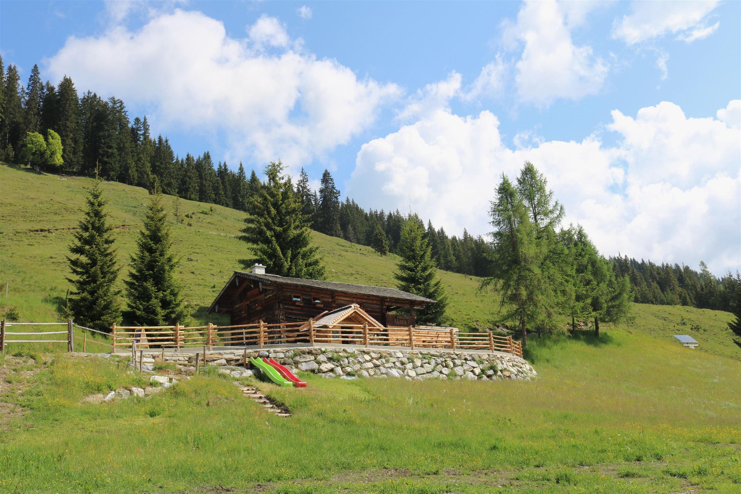
Oberhagmoosalm
A pasture hut and mountain restaurant in the hills above Radstadt, serving regional dishes to walkers in the summer season.
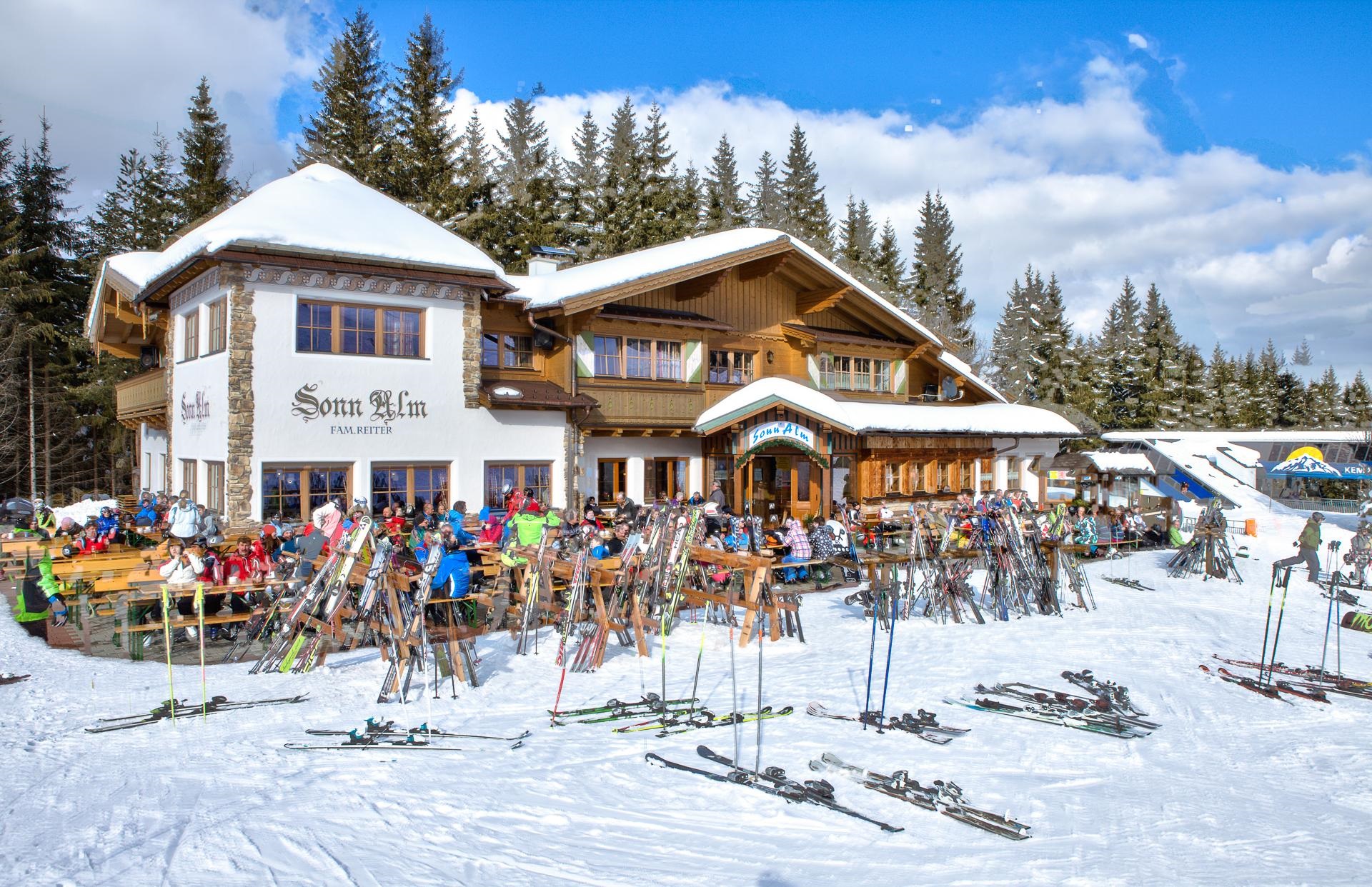
Sonnalm Altenmarkt
A ski hut on the sunny side of the Altenmarkt slopes, a refreshment stop during the winter season.
Steinalm
An alpine pasture hut between Radstadt and Filzmoos, serving regional dishes on the summer grazing meadows.
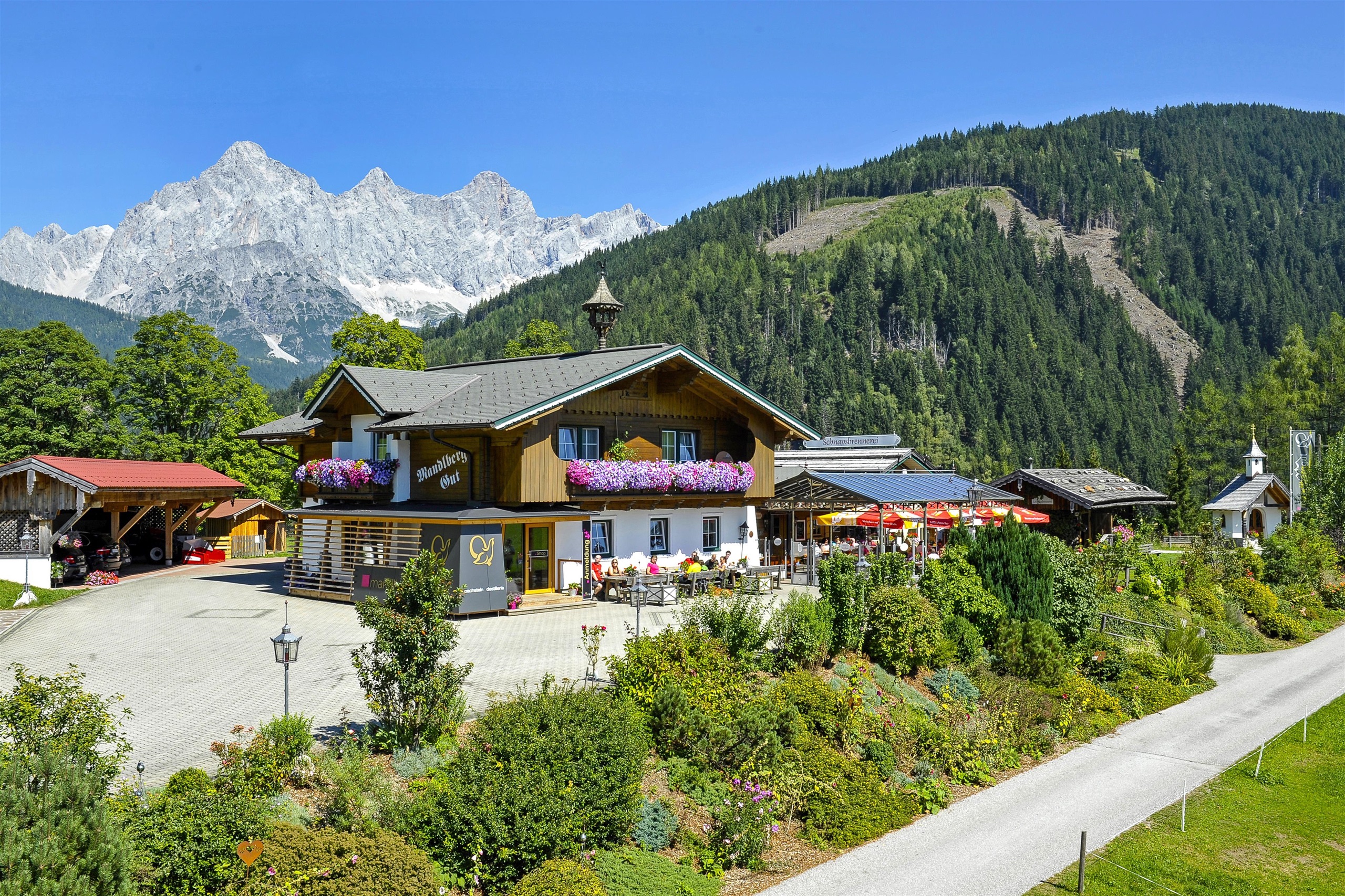
mandl:bergkaffee
A mountain café above Radstadt in the Pongau, a stop for walkers and ski tourers on the open slopes.
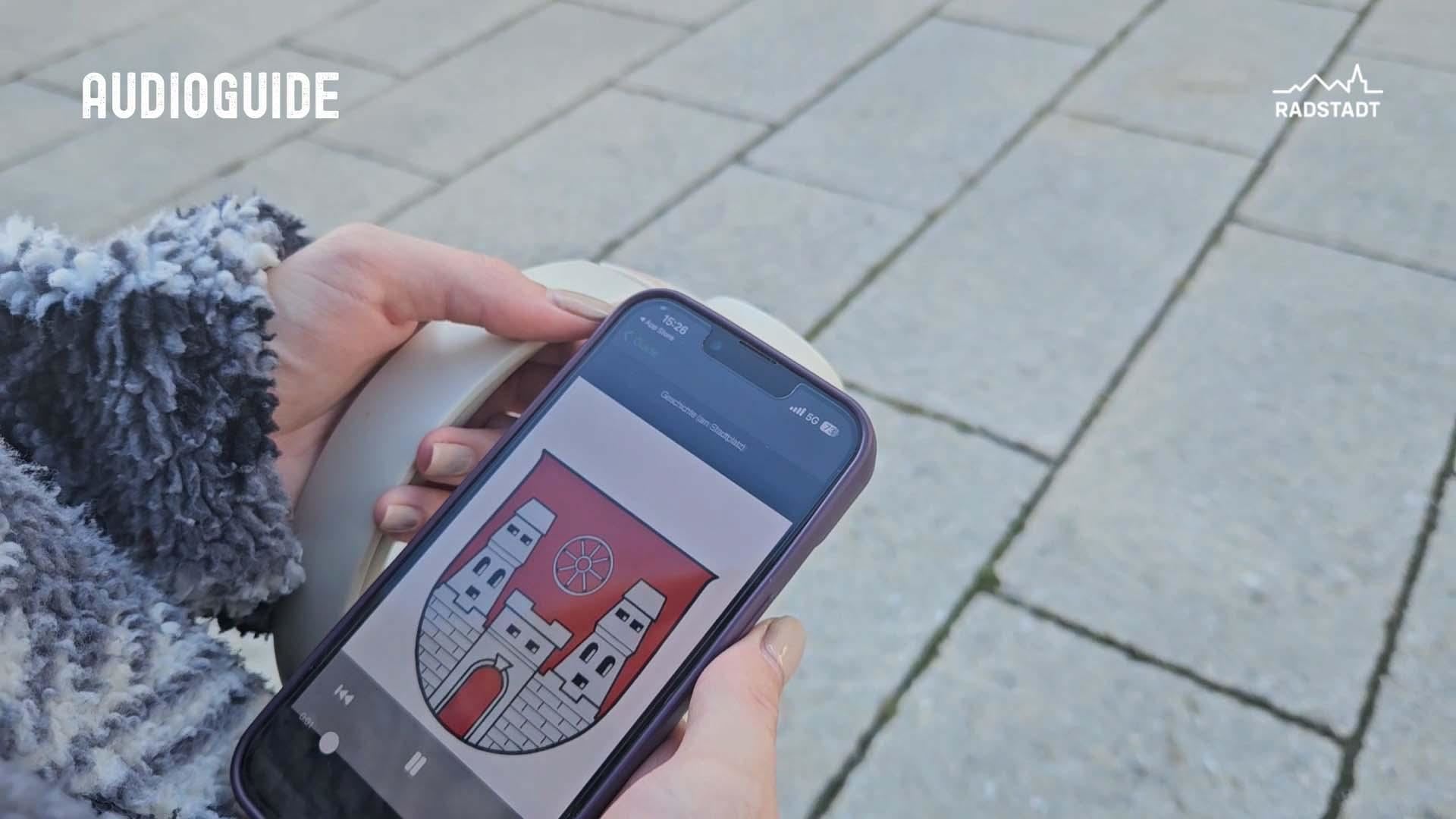
Audio Guide - Die alte Stadt im Gebirge
An audio guide through the old town of Radstadt in the Pongau, whose medieval walls and corner towers still enclose the centre.
Audio Guide - Stadtpfarrkirche Radstadt
An audio guide through the town parish church of Radstadt, explaining the medieval building and its furnishings stop by stop.
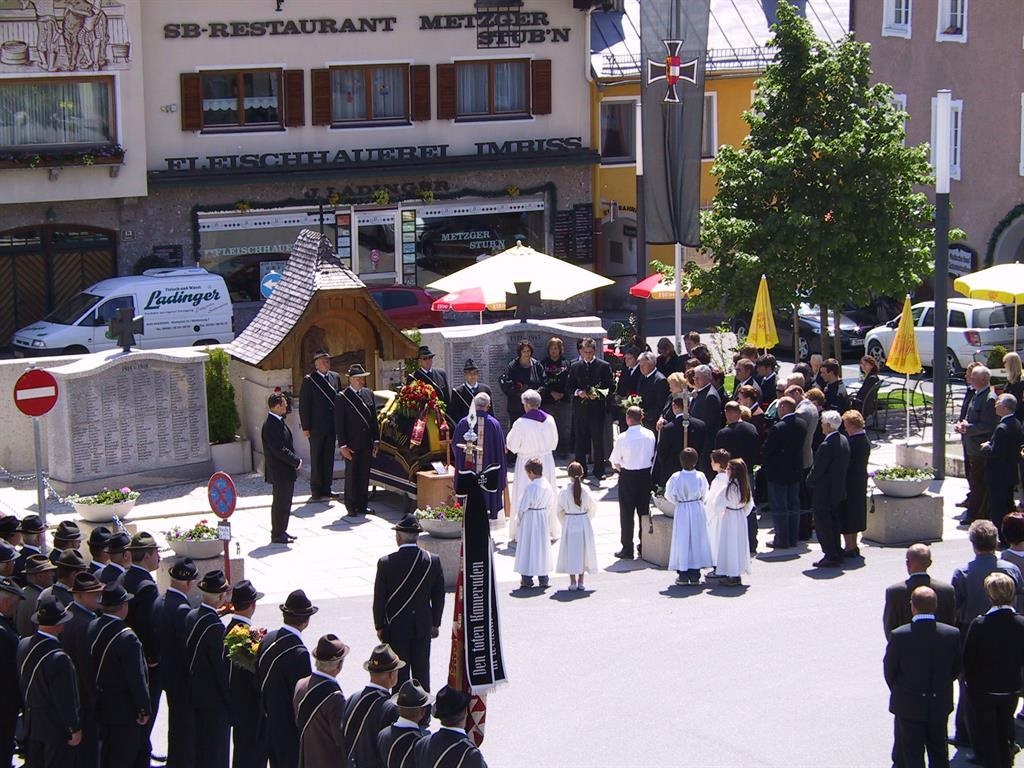
Kriegerdenkmal
The war memorial of Radstadt, commemorating the town's dead of the world wars close to the historic centre.
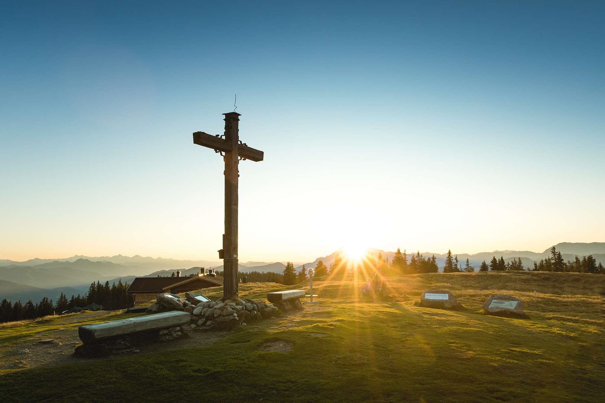
Panoramaberg Rossbrand
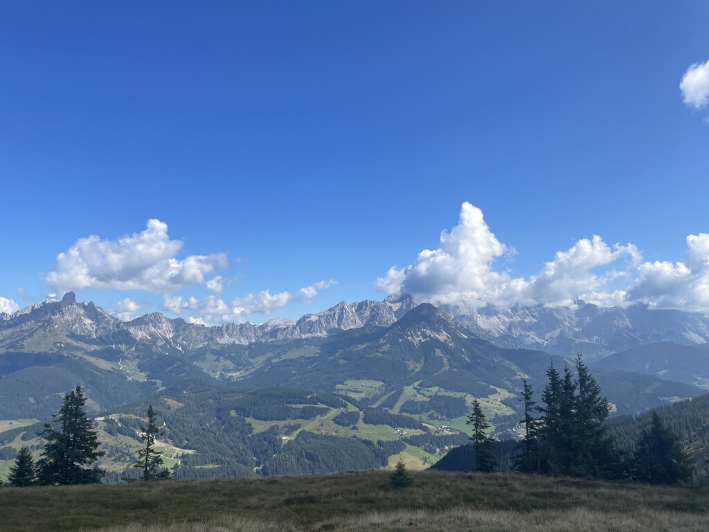
The Rossbrand above Radstadt, a broad grassy summit known for a panorama that takes in a long line of Alpine peaks.
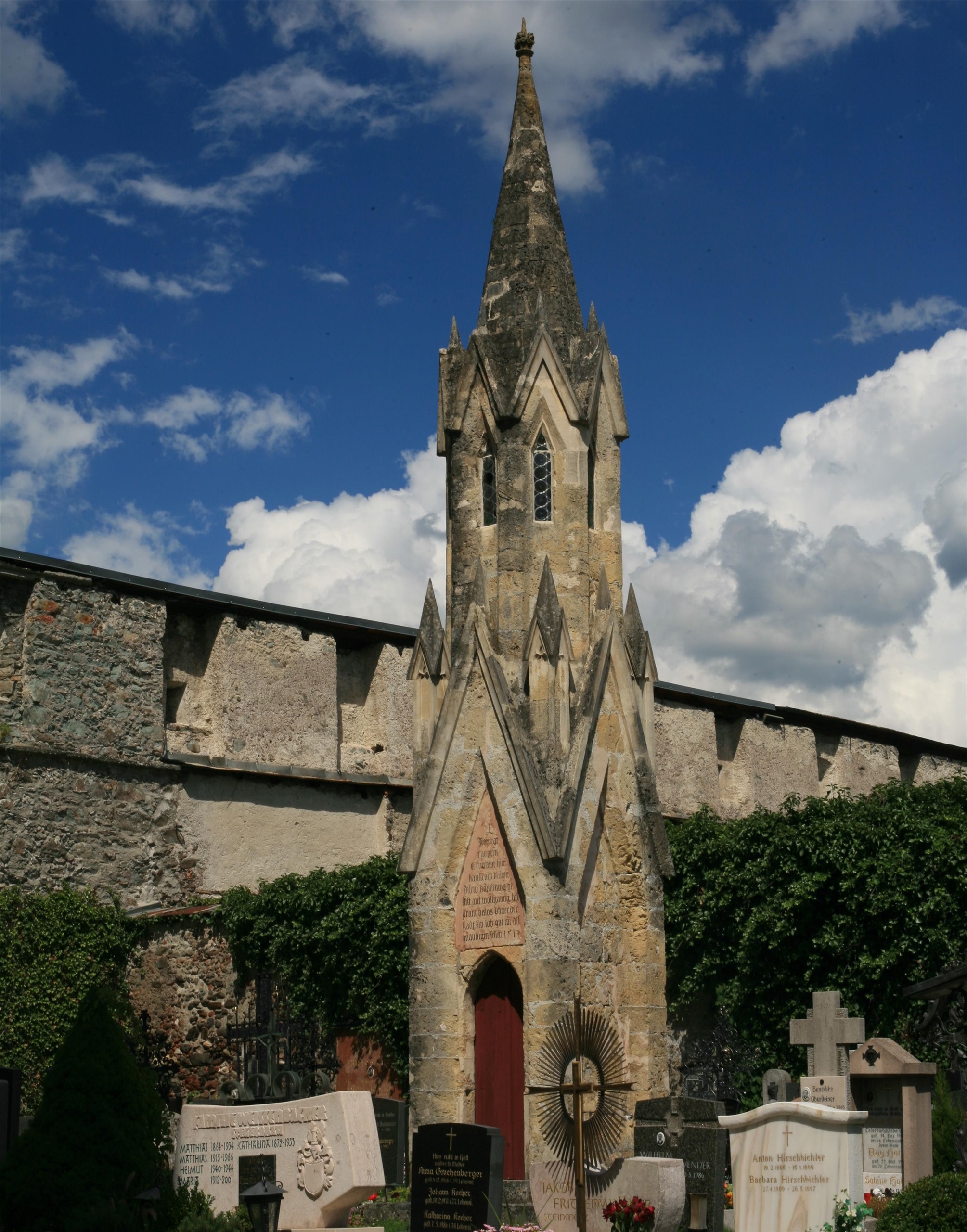
Schustersäule im Friedhof
A stone memorial column in the cemetery of Radstadt known as the Schustersäule, or cobbler's column, tied to the town's craft history.
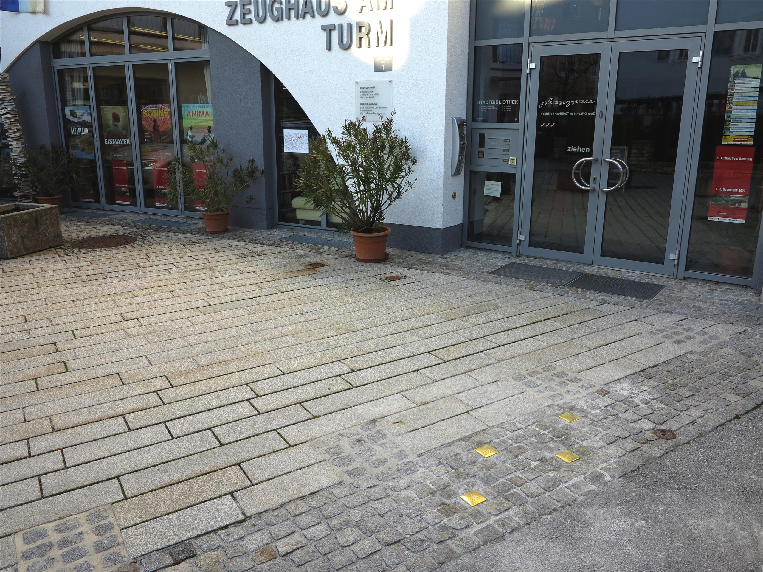
Stolpersteine
Brass 'stumbling stones' set into Radstadt's pavements, each marking the last freely chosen home of a victim of National Socialism.
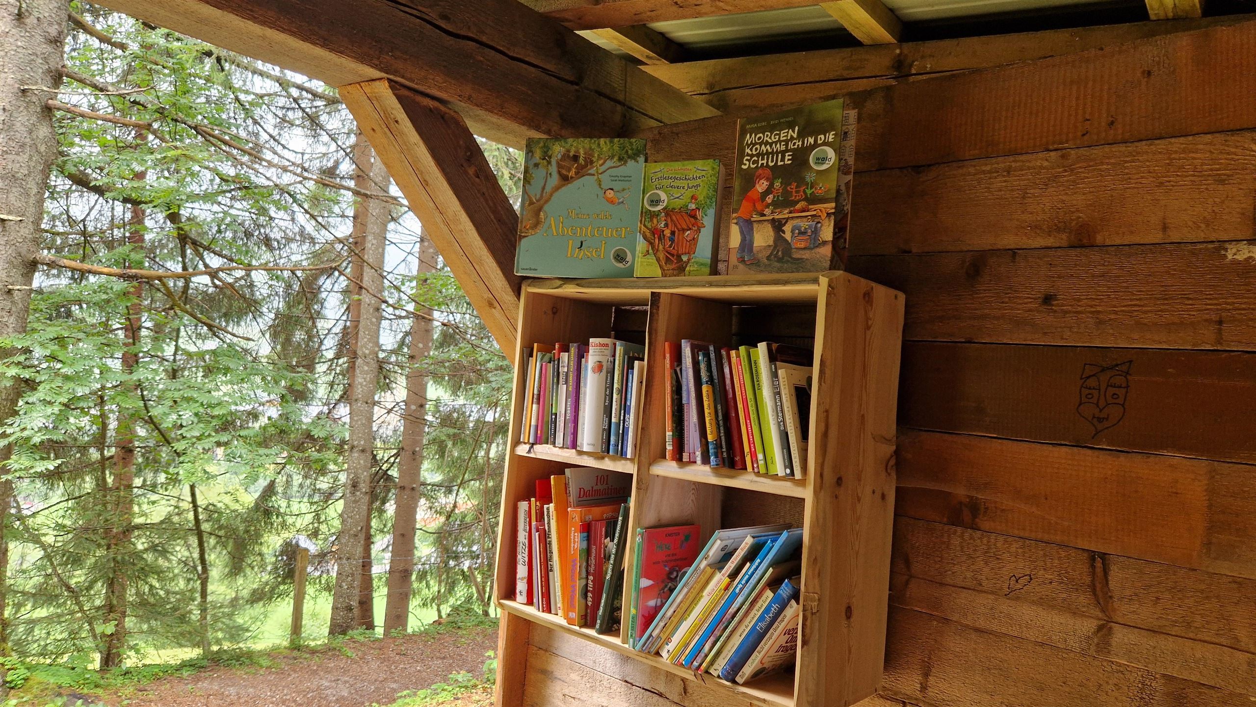
Waldbibliothek Radstadt
An open-air reading spot in the woods by Radstadt, where a small forest library invites walkers to pick up a book and sit among the trees.
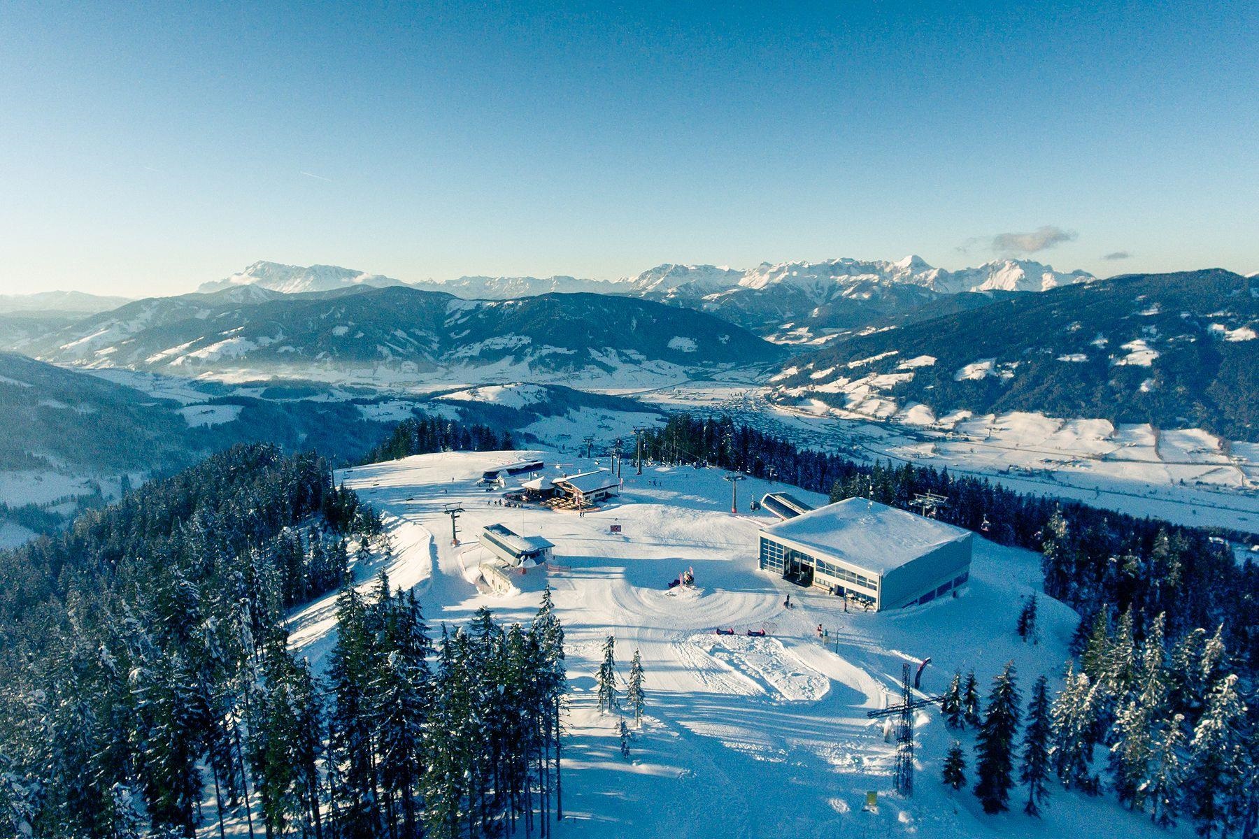
Skigebiet Radstadt - Altenmarkt
The shared ski area of the neighbouring towns Radstadt and Altenmarkt in the Salzburg Pongau, with lifts rising from both sides of the hill between them.
Beach Volleyball Radstadt
Public beach volleyball courts in Radstadt in the Pongau, part of the town's outdoor sports grounds.
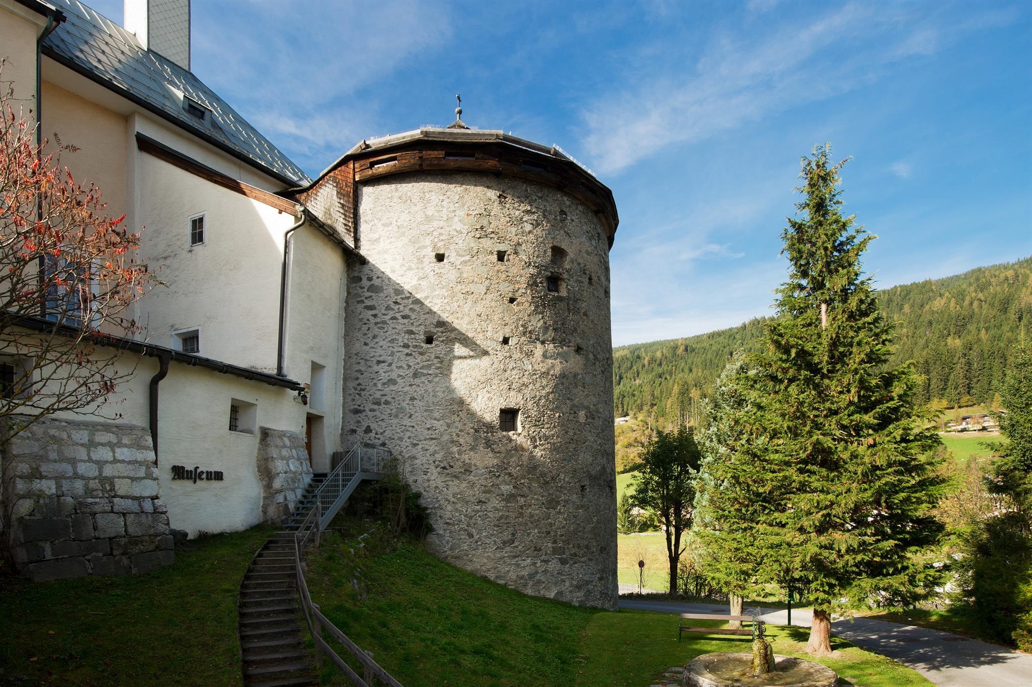
Museum Kapuzinerturm
A museum inside one of the towers of Radstadt's medieval town wall, with exhibitions on the history of the small fortified town at 858 m.
Nothing of this kind in Radstadt.
Routes
50 routes, an even mix of activities · see the rest on salzburgersportwelt.com ↗
Rossbrand Gipfelrunde
Short summit loop of under 3 km with just over 100 m of climbing, taking in the Radstädter Hütte and the Karhütte on the Rossbrand.
- 2.9 km
- Distance
- 100 m
- Ascent
- 56 min
- Duration
- 49
- Check-ins
IVV-Rossbrand Tour
A 13 km walk through forest and alm meadows to the 1,770 m Rossbrand summit, with the Karhütte and the Radstädterhütte along the way.
- 13.0 km
- Distance
- 732 m
- Ascent
- 5 h 9 min
- Duration
- 54
- Check-ins
Salzburger Almenweg - Etappe 21: Radstadt - Filzmoos
Almenweg stage crossing the Rossbrand, long held to be the finest viewpoint in the Eastern Alps, from Radstadt by the Bürgerbergalm and the Radstädter Hütte to Filzmoos.
- 12.8 km
- Distance
- 911 m
- Ascent
- 5 h 40 min
- Duration
- 56
- Check-ins
Pisten Skitour Rossbrand
The Rossbrand is a fine winter viewpoint and the trail along its high loipe is well used, but this 540 m ski ascent to the ridge keeps clear of the traffic.
- 3.6 km
- Distance
- 549 m
- Ascent
- 10 m
- Descent
- 1 h 37 min
- Duration
- 9
- Check-ins
Filzmoos- Mandlberggut - Latschenkiefer- und Schnapsbrennerei
A short, easy ride down from the centre of Filzmoos to the Mandlberggut at 979 m, a farm distillery on the way out of the village.
- 4.9 km
- Distance
- 92 m
- Ascent
- 33 min
- Duration
- 4
- Check-ins
Mit dem E-Bike zur Bürgerbergalm
A short, direct climb from the town up to the alm at 1,173 m, about 430 m of ascent on the way out and the same back down.
- 10.1 km
- Distance
- 433 m
- Ascent
- 1 h 18 min
- Duration
- 3
- Check-ins
 Bürgerbergalm 1 173 m
- Radstadt Tourismus 857 m
 Stadtteich Radstadt 855 m
Dachstein Panorama Tour
A long ride from Filzmoos over to Ramsau and up to the Berghotel Türlwand at 1,689 m under the Dachstein, returning past the Brandalm.
- 67.6 km
- Distance
- 1 772 m
- Ascent
- 7 h 40 min
- Duration
- 116
- Check-ins
Filzmoos - Ennstal Rennradrunde
A road circuit from Schladming down the Ennstal to Haus im Ennstal, then up to Filzmoos and back along the Ramsau terrace.
- 75.2 km
- Distance
- 1 284 m
- Ascent
- 7 h 53 min
- Duration
- 34
- Check-ins
Rundweg Mandling
An easy 4.6 km loop from Mandling past the reservoir and the Mandlberggut, with 184 m of climbing.
- 4.6 km
- Distance
- 182 m
- Ascent
- 1 h 32 min
- Duration
- 6
- Check-ins
Rossbrand
A 14 km climb from Filzmoos to the 1,770 m panoramic top above Radstadt, looking across to the Bischofsmütze and the Dachstein, with the Roßbrandhütte near the summit.
- 13.7 km
- Distance
- 735 m
- Ascent
- 5 h 15 min
- Duration
- 54
- Check-ins
Wanderbus-Tipp: Filzmoos - Rossbrand - Altenmarkt
A one-way crossing from Filzmoos past the television mast to the 1,770 m Rossbrand and down to Altenmarkt, with the Jausenstation Habersatt for a break; a hiking bus links the two ends.
- 15.8 km
- Distance
- 797 m
- Ascent
- 6 h 12 min
- Duration
- 56
- Check-ins
Skitouren Aufstiegsspur Königslehen
Signed uphill track beside the Königslehen pistes, starting by the Liftstüberl Unterberg and gaining 693 m; a piste-touring ticket or a valid local ski pass is required.
- 4.3 km
- Distance
- 695 m
- Ascent
- 11 m
- Descent
- 2 h 1 min
- Duration
- 4
- Check-ins
(E-)Bike Tour in die historische Stadt Radstadt
A short, flat ride from Altenmarkt over to the old town of Radstadt, passing the Stadtteich pond just outside the centre.
- 4.4 km
- Distance
- 22 m
- Ascent
- 24 min
- Duration
- 1
- Check-ins
- Radstadt Tourismus 857 m
- Stadtteich Radstadt 855 m
- Altenmarkt-Zauchensee Tourismus 842 m
Tour zum Badesee Eben
A flat run from Radstadt over to the bathing lake at Eben im Pongau, past the Stadtteich and the lakeside campsite.
- 14.1 km
- Distance
- 40 m
- Ascent
- 1 h 17 min
- Duration
- 2
- Check-ins
- Radstadt Tourismus 857 m
- Stadtteich Radstadt 855 m
- Badesee Eben im Pongau 849 m
- Romantische Appartements Sinnhubbauer 858 m
- Kuhstall mit Milchkühen und Kälbchen, 854 m
Panorama Runde Ramsau (SD 305)
A long loop out of Filzmoos onto the Ramsau plateau, with its high point at the Türlwand at 1,689 m and a stop at the Dachsteinhaus.
- 63.2 km
- Distance
- 1 639 m
- Ascent
- 7 h 9 min
- Duration
- 116
- Check-ins
Ennsradweg - 1. Tagesetappe
The opening stage of the Enns cycle route, an almost flat run over the Mandlingpass and on down the valley past the Winklersee.
- 38.2 km
- Distance
- 96 m
- Ascent
- 3 h 29 min
- Duration
- 15
- Check-ins
Unterer Schwemmberg Rundweg (65)
Easy loop from the Resialm over the Moserscharte to the Steinalm and back, with 250 m of ascent over 5 km.
- 4.7 km
- Distance
- 248 m
- Ascent
- 1 h 47 min
- Duration
- 2
- Check-ins
Rossbrandrunde ab Resialm
Circuit from the Resialm over the Moserscharte to the Rossbrand and back, passing the Radstädter Hütte, with 405 m of ascent.
- 9.3 km
- Distance
- 400 m
- Ascent
- 3 h 11 min
- Duration
- 50
- Check-ins
Rossbrand über Steinalm
From Mandling past the Mandlberggut and Steinalm, over the Moserscharte to the Rossbrand and the Radstädterhütte; 957 m of ascent.
- 8.6 km
- Distance
- 960 m
- Ascent
- 4 h 1 min
- Duration
- 51
- Check-ins
Flachau - Historische Stadt "Radstadt" - E-Trekkingbike (15)
A level e-trekking run down the valley from Flachau into the old walled town of Radstadt, by the Stadtteich.
- 12.2 km
- Distance
- 22 m
- Ascent
- 1 h 7 min
- Duration
- 1
- Check-ins
- Radstadt Tourismus 857 m
- Stadtteich Radstadt 855 m
Rossbrand Runde Filzmoos (SW01)
The Filzmoos approach to the Rossbrand, climbing by the Steinalm and Schörgi Alm to the Radstädterhütte at 1,760 m.
- 25.8 km
- Distance
- 828 m
- Ascent
- 3 h 4 min
- Duration
- 57
- Check-ins
Rundweg Kaiserpromenade (3)
Level recreation circuit around Radstadt, about an hour and a half at walking pace with only 76 m of ascent.
- 3.9 km
- Distance
- 82 m
- Ascent
- 1 h 7 min
- Duration
Moserscharte - Oberhagmoosalm
A walk over the notch to a dairy hut on the Filzmoos side, passing the Schörgi Alm and the Moosalm above the Papagenobahn.
- 6.9 km
- Distance
- 533 m
- Ascent
- 2 h 52 min
- Duration
- 9
- Check-ins
Rossbrand über Reitlehenalm
An 18 km approach to the Rossbrand by way of the Reitlehenalm, with the Radstädterhütte near the top and the Dachbrunnsattel on the ridge.
- 18.0 km
- Distance
- 922 m
- Ascent
- 6 h 41 min
- Duration
- 49
- Check-ins
Rossbrand-Runde
A circuit over the Rossbrand linking the Karhütte and the Radstädterhütte, with the Langlaufhaus on the way back.
- 25.2 km
- Distance
- 828 m
- Ascent
- 3 h 1 min
- Duration
- 57
- Check-ins
Spazierweg nach Radstadt
A level walk along the Enns from Altenmarkt to Radstadt, finishing beside the town pond.
- 4.2 km
- Distance
- 20 m
- Ascent
- 1 h 1 min
- Duration
- Stadtteich Radstadt 855 m
- Altenmarkt-Zauchensee Tourismus 842 m
Römerweg zum Wildpark nach Untertauern (54)
Nearly level walk on the line of an old Roman road to the wildlife park at Untertauern, passing the Fischerhütte and a wayside chapel.
- 10.8 km
- Distance
- 177 m
- Ascent
- 2 h 49 min
- Duration
- 6
- Check-ins
Rossbrand-Runde
A 17 km round on the Rossbrand, one of the best-known viewpoint summits of the Eastern Alps, with the Radstädterhütte a little below the top.
- 16.7 km
- Distance
- 1 023 m
- Ascent
- 7 h 2 min
- Duration
- 47
- Check-ins
Filzmoos-Rossbrand Runde | SW 01
A signed round from Filzmoos to the Rossbrand ridge, taking in four alm huts between 1,300 and 1,760 m.
- 25.8 km
- Distance
- 890 m
- Ascent
- 3 h 8 min
- Duration
- 57
- Check-ins
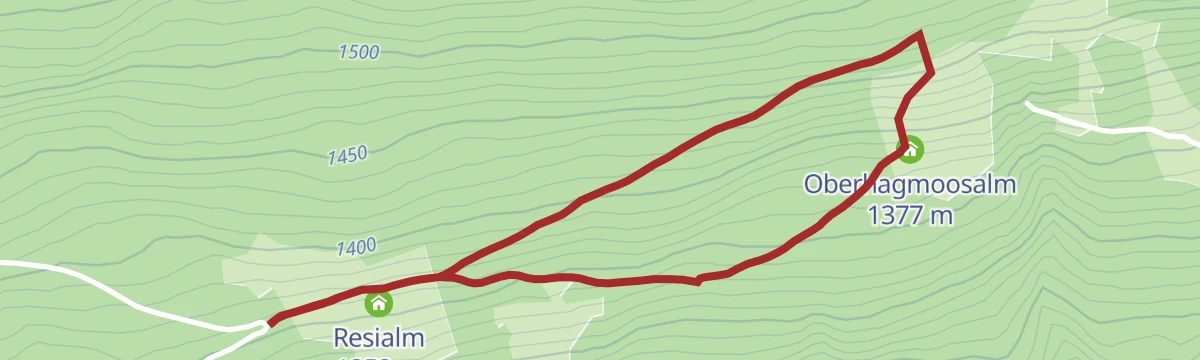
Oberhagmoosalm Rundweg
Short loop of under 3 km between the Resialm and the Oberhagmoosalm, with 161 m of ascent.
- 2.8 km
- Distance
- 150 m
- Ascent
- 1 h 4 min
- Duration
Rundweg Radstadt - Habersattbauer - Bürgerbergalm - Radstadt (63, 64, 461)
Unhurried round from Radstadt by the Habersatt snack stop and the Bürgerbergalm, with 519 m of ascent over 9 km.
- 8.6 km
- Distance
- 466 m
- Ascent
- 3 h 20 min
- Duration
- 5
- Check-ins
- Bürgerbergalm 1 173 m
- Jausenstation Habersatt 1 114 m
- Stadtteich Radstadt 855 m
Arnoweg/Etappe 49 Zauchensee-Altenmarkt
Stage 49 of the Arnoweg, a 22 km high-level day from Zauchensee over the Rosskopf and Hinterkogel down to Altenmarkt, past several alm huts.
- 22.4 km
- Distance
- 778 m
- Ascent
- 7 h 39 min
- Duration
- 46
- Check-ins
Rent a Picknick - Rossbrandrunde
A round of the Rossbrand from Radstadt by way of the Schörgi Alm and the Papagenobahn top station, with the Karhütte close to the ridge.
- 29.3 km
- Distance
- 971 m
- Ascent
- 3 h 31 min
- Duration
- 55
- Check-ins
Rundwanderweg Talboden nach Altenmarkt
Flat valley-floor circuit from Radstadt, out along the Enns and back over the Tandalier bridge, with next to no climbing.
- 6.9 km
- Distance
- 31 m
- Ascent
- 1 h 41 min
- Duration
- Stadtteich Radstadt 855 m
- Wohnbau Heigl - Immobilien 839 m
Rundweg Zaim
Round from the Gewürzmühle along the Enns, then up over the Heimlscharte and the Predigtstuhl with a return past the Seitenalm.
- 12.7 km
- Distance
- 497 m
- Ascent
- 4 h 12 min
- Duration
- 5
- Check-ins
Radstadt - Bürgerbergalm - Rossbrand - Radstadt (461,462)
Circuit on forest tracks and small lanes to the 1,768 m local mountain of Radstadt, calling at the Bürgerbergalm and the Radstädter Hütte.
- 10.9 km
- Distance
- 906 m
- Ascent
- 5 h 47 min
- Duration
- 46
- Check-ins
 Rossbrand 1 770 m
- Radstädterhütte 1 760 m
- Bürgerbergalm 1 173 m
- Radstadt Tourismus 857 m
- Stadtteich Radstadt 855 m
Wagrain-Kleinarl zum Rossbrand
A long ride over the Wagrainer Höhe to Radstadt and up forest roads to the Rossbrand, passing the Karhütte and the Radstädterhütte.
- 55.3 km
- Distance
- 1 196 m
- Ascent
- 6 h 2 min
- Duration
- 54
- Check-ins
Wanderung zur Oberhagmoosalm
Barely a kilometre on foot to the Oberhagmoosalm, reached from the Rossbrandstraße above Radstadt by the Däublweg turn-off.
- 1.2 km
- Distance
- 53 m
- Ascent
- 24 min
- Duration
Rundweg Radstadt - Bürgerbergalm (462) - Weg 64 und 461 - Radstadt
Family-friendly round from Radstadt up past the Bürgerbergalm, returning on path 461, with 452 m of ascent.
- 6.1 km
- Distance
- 429 m
- Ascent
- 2 h 51 min
- Duration
- 2
- Check-ins
Panoramaberg Rossbrand
Climb of 918 m to the 1,768 m Rossbrand, where the view opens through a full circle, with the Bürgerbergalm and the Radstädter Hütte on the way.
- 11.0 km
- Distance
- 911 m
- Ascent
- 5 h 50 min
- Duration
- 45
- Check-ins
- Rossbrand 1 770 m
- Radstädterhütte 1 760 m
- Bürgerbergalm 1 173 m
- Stadtteich Radstadt 855 m
Bürgerberg-Rossbrand-Runde (SW 16)
A round that links two climbs above Radstadt, over the Dachbrunnsattel to the Karhütte and Radstädterhütte below the Rossbrand.
- 22.7 km
- Distance
- 936 m
- Ascent
- 2 h 54 min
- Duration
- 52
- Check-ins
- Rossbrand 1 770 m
- Radstädterhütte 1 760 m
- Karhütte 1 718 m
- Bürgerbergalm 1 173 m
- Radstadt Tourismus 857 m
- Stadtteich Radstadt 855 m
- +2
Berggasthof Bliembauer Runde
Hillside round with views over Radstadt, Altenmarkt and the surrounding ranges, passing the Sonnalm, with 346 m of ascent.
- 9.4 km
- Distance
- 335 m
- Ascent
- 3 h 2 min
- Duration
- 1
- Check-ins
- Hacklbauer - Ihr Urlaubszuhause 883 m
- Sonnalm 1 142 m
- Stadtteich Radstadt 855 m
Rossbrand über Wanderweg 461
Direct line up Radstadt's local mountain, 944 m of climbing in under 6 km by way of the Berggasthof Rohrmoos and the Radstädter Hütte.
- 5.9 km
- Distance
- 929 m
- Ascent
- 3 h 38 min
- Duration
- 43
- Check-ins
- Rossbrand 1 770 m
- Radstädterhütte 1 760 m
- Stadtteich Radstadt 855 m
Radstadt-Rossbrandrunde (SW 13)
A long ascent of the Rossbrand on alm roads, with the Steinalm on the way up and the Radstädterhütte near the ridge.
- 30.7 km
- Distance
- 1 024 m
- Ascent
- 3 h 42 min
- Duration
- 52
- Check-ins
Gewürzmühle - Innviertler Berggasthof - Trinkeralm (715)
Uphill walk from the Gewürzmühle by the Innviertler Berggasthof to the Trinkeralm, 375 m of ascent and about four hours on the move.
- 4.4 km
- Distance
- 371 m
- Ascent
- 1 h 40 min
- Duration
Aussichtsberg Rossbrand (16)
A forest-road climb from Radstadt to the Rossbrand, nearly 1,000 m of ascent in 12 km with the Radstädterhütte just below the top.
- 12.1 km
- Distance
- 911 m
- Ascent
- 1 h 37 min
- Duration
- 50
- Check-ins
Rundweg Löbenau
Round from the Tauernblick by the Innviertler Berggasthof and the hamlet of Kaspardörfl, with 402 m of ascent through farmland and forest.
- 9.5 km
- Distance
- 356 m
- Ascent
- 3 h 6 min
- Duration
Rossbrand Tour
A direct ascent of the Rossbrand above Radstadt, up to the Karhütte and Radstädterhütte and back down to the Stadtteich.
- 23.5 km
- Distance
- 928 m
- Ascent
- 2 h 57 min
- Duration
- 50
- Check-ins
- Rossbrand 1 770 m
- Radstädterhütte 1 760 m
- Karhütte 1 718 m
- Radstadt Tourismus 857 m
- Stadtteich Radstadt 855 m
(E-)Bike Tour zum Aussichtsberg "Rossbrand" (16)
A climb from Altenmarkt up the Rossbrand, the lookout mountain above Radstadt, with the Radstädterhütte shortly below the top.
- 32.3 km
- Distance
- 970 m
- Ascent
- 3 h 47 min
- Duration
- 49
- Check-ins
- Rossbrand 1 770 m
- Radstädterhütte 1 760 m
- Karhütte 1 718 m
- Stadtteich Radstadt 855 m
- Altenmarkt-Zauchensee Tourismus 842 m
Zauchensee-Untertauern-Runde (SW25)
A long forest-road tour to the Gnadenalm and Vordergnadenalm, returning past the Arena Alm and the Garnhofalm at over 1,350 m.
- 37.0 km
- Distance
- 983 m
- Ascent
- 4 h 13 min
- Duration
- 46
- Check-ins
- Gnadenalm 1 250 m
- Felserhütte 1 350 m
- Vordergnadenalm 1 281 m
- Arena Alm 1 367 m
- Fischerhütte 988 m
- Zauchensee 1 340 m
- +15
No routes of this kind in Radstadt yet.
The region's own picks

Featured route
Rossbrand Gipfelrunde
Short summit loop of under 3 km with just over 100 m of climbing, taking in the Radstädter Hütte and the Karhütte on the Rossbrand.
Planning a trip to Radstadt?
Everything else Salzburg (state) has, in one place


Take Radstadt with you into the mountains
Every route on this page with 3D terrain, GPX navigation and offline maps — including the valleys with no signal.
Data sources
- Official website: salzburgersportwelt.com ↗
- Routes and highlights: Salzburger Sportwelt, Altenmarkt-Zauchensee Tourismus, Filzmoos Tourismus, Schladming-Dachstein Tourismus, Flachau Tourismus, Wagrain-Kleinarl Tourismus
- Published as open data by the tourist boards named above.
- Region summary generated from the board's own material.
