
 Historic site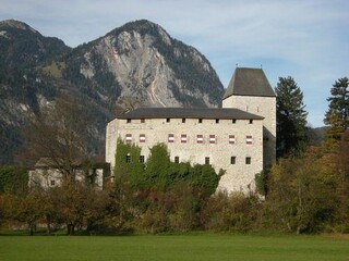
 Viewpoint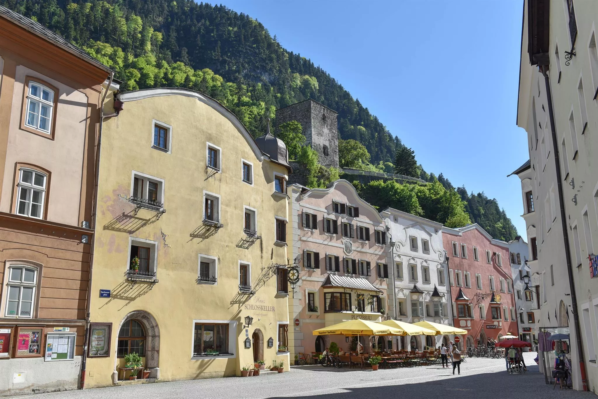











Curated by Alpbachtal Tourismus
Radfeld
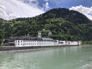
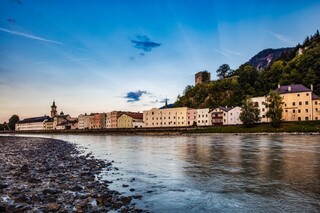
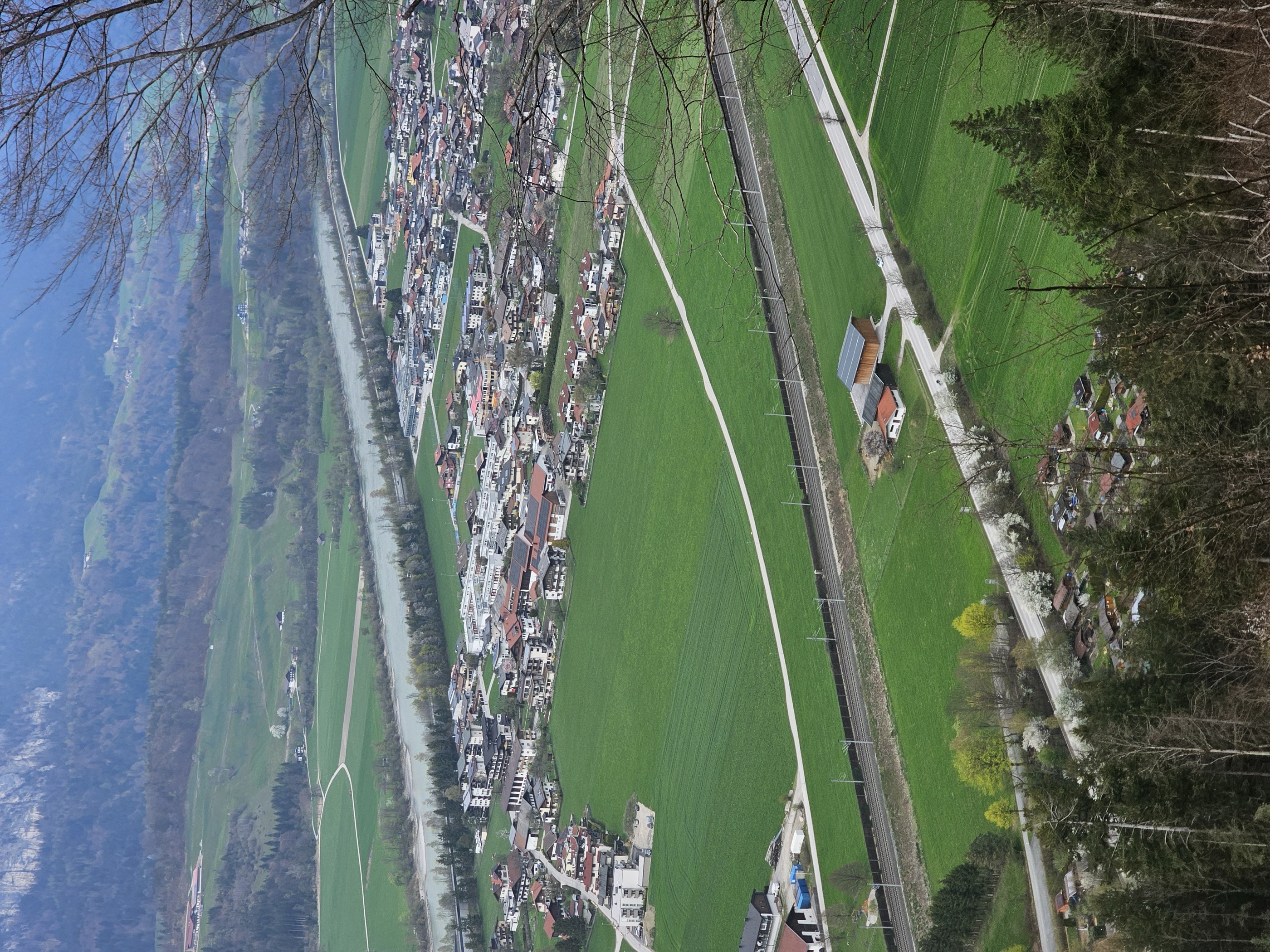
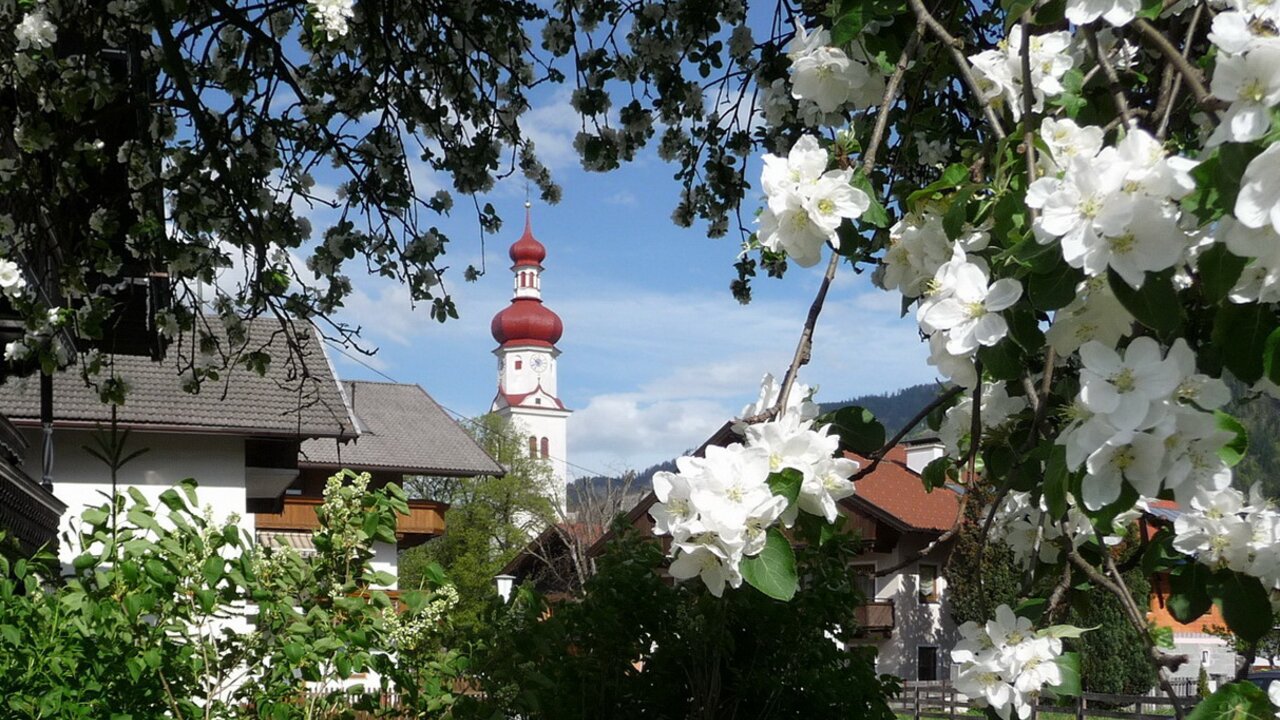
On the Inn's wide gravel floor beside the tiny town of Rattenberg, farmland at 512 m between the river and the first Alpbachtal slopes, with the moated Lichtwerth castle nearby.
- 22Highlights
- 33Routes
- Featured summit · Hauskogel
Highlights
The 20 highest-rated · see the rest on alpbachtal.at ↗
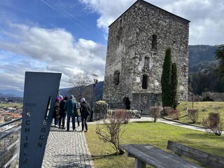
Schlossberg mit Burgruine Rattenberg
The castle hill above Rattenberg with the ruin of a medieval fortress that once guarded the Inn valley, now used as an open-air stage and viewpoint over the town.
Wasserburg Lichtwerth
A small moated castle on the Inn valley floor near Münster, a rare surviving example of a Tyrolean water castle, viewable from the outside.
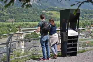
Egon Schiele Aussichtspunkt
A marked viewpoint above Rattenberg named after the Austrian painter Egon Schiele, looking over the roofs of the medieval town and the Inn.
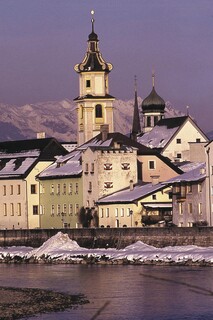
Glasstadt Rattenberg
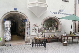
Austria's smallest town, a medieval settlement on the Inn known for its glass workshops and engravers along the car-free main street.
Augustinermuseum
A museum of Tyrolean sacred art in the former Augustinian monastery of Rattenberg, displayed in the cloister and rooms of the medieval friary.
Handwerkskunstmuseum (Nagelschmiedhäuser)
A crafts museum in Rattenberg's Nagelschmiedhäuser, a row of medieval nail-smiths' houses, showing historic handwork and trades.
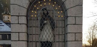
Bildstock Hl. Johannes Nepomuk
A wayside shrine to St John of Nepomuk at Radfeld, a small devotional monument of the kind that marks the old routes along the Inn.
Burgruine Kropfsberg
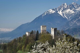
The ruin of a castle raised by the archbishops of Salzburg near Reith im Alpbachtal, once guarding the Inn valley at the mouth of the Zillertal.
Historische Stadt Rattenberg
Austria's smallest town, a medieval trading post on the Inn with an intact old centre, glass shops and a castle hill above the rooftops.
Kremerstadl
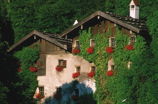
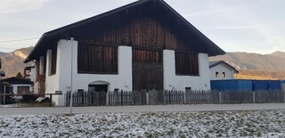
A preserved farm barn (Stadl) in Radfeld, a reminder of the village's farming past on the flat floor of the lower Inn valley.
Kristallglas Schlenz
A crystal glass workshop and shop in Rattenberg, the small Inn-side town known for its glass-cutting and engraving trade.
Kundler Tor mit "Mundloch"
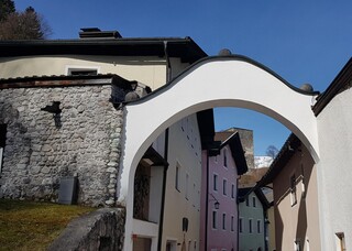
A gate on the eastern edge of Rattenberg known as the Kundler Tor, with the 'Mundloch', the preserved mouth of an old tunnel entrance in the town rock.
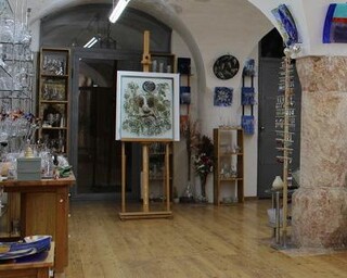
Kunst ums Glas
A gallery in Rattenberg devoted to glass art, continuing the town's long association with glassblowing and engraving.
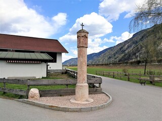
Radfelder Pestsäule
A plague column at Radfeld, raised in remembrance of epidemic times and standing by the old route through the lower Inn valley.
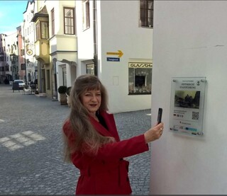
Rattenberg mit Smartphone durch die Stadt
A self-guided smartphone tour through Rattenberg, leading between the pastel facades and narrow lanes of Austria's smallest town.
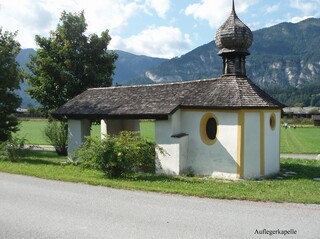
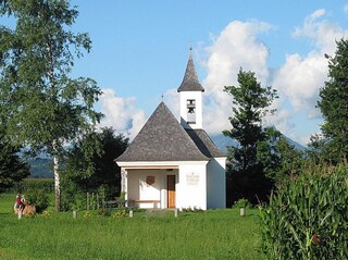
Auflegerkapelle
A wayside chapel between Rattenberg and Radfeld known as the Auflegerkapelle, on the old road along the Inn.
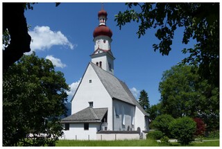
Filialkirche Radfeld zum Hl. Briktius
A filial church dedicated to St Brictius at Radfeld, a village landmark on the flat floor of the lower Inn valley.
Klosterkirche zum Hl. Augustinus
The church of Rattenberg's former Augustinian monastery, a medieval friary church that now forms part of the Augustinermuseum complex.
Schützenkapelle Herz-Jesu-in-der-Au
A chapel of the local riflemen's company (Schützen) dedicated to the Sacred Heart, standing in the meadows of the Au near Radfeld.
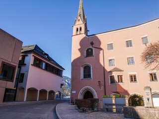
Spitalskirche zum Hl. Geist
The former hospital church of the Holy Spirit in Rattenberg, built to serve the town's medieval hospice by the Inn.
Nothing of this kind in Radfeld.
Routes
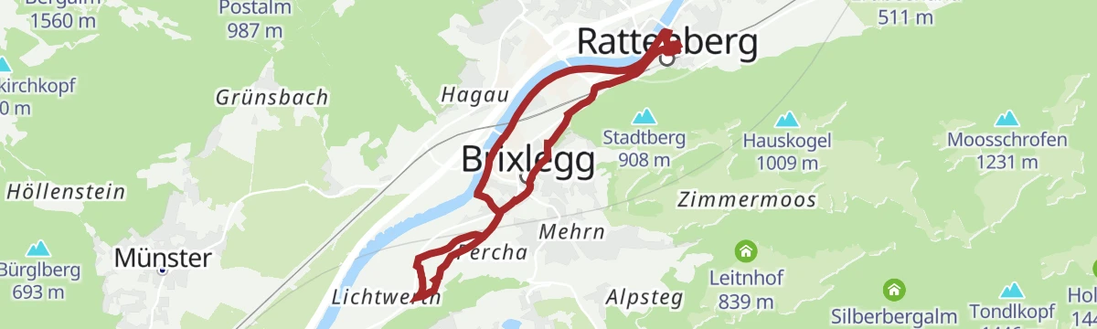
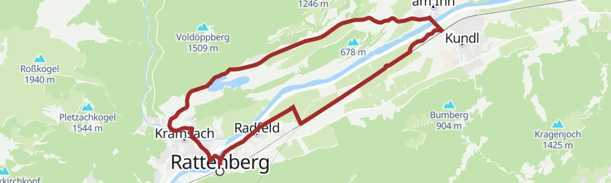
Spazierweg Kramsach bis Rattenberg
Flat stroll from Kramsach across the Inn to Rattenberg, Austria's smallest town, whose glassworks and medieval lane reward the short walk.
- 4.7 km
- Distance
- 10 m
- Ascent
- 1 h 7 min
- Duration
- 5
- Check-ins
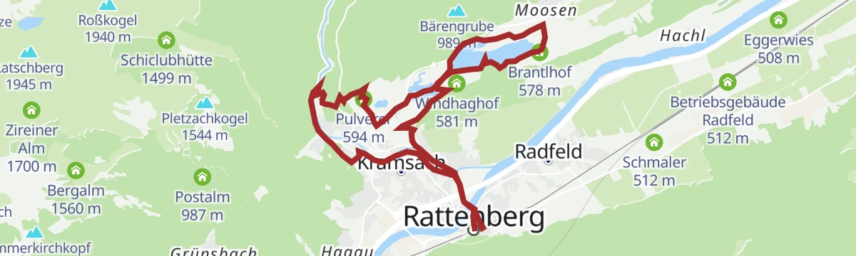
KulTour - Wasserweg Kramsach
Water-themed culture route around Kramsach's lake plateau, stringing the Reintalersee and Krummsee together with streams and old water sites; long but almost flat.
- 14.9 km
- Distance
- 146 m
- Ascent
- 3 h 50 min
- Duration
- 31
- Check-ins
Jakobsweg ab Breitenbach
A 25 km leg of the Tyrolean Jakobsweg from Breitenbach along the Inn, passing the Badesee Badl and a woodcutters' hut on the way toward Rattenberg.
- 25.3 km
- Distance
- 342 m
- Ascent
- 6 h 50 min
- Duration
- 2
- Check-ins
 Tourismusinformation Rattenberg-Radfeld-Brixlegg 516 m
- Holzfällerhütte 577 m
 Badesee Badl 504 m
2. Tag - Mountainbike-Sternfahrt Alpbachtal - Wildschönau
A long stage crossing the Kragenjoch at 1,422 m, with rest stops at the Achentalalm and the Jausenstation Boarstadl.
- 56.3 km
- Distance
- 1 967 m
- Ascent
- 6 h 51 min
- Duration
- 34
- Check-ins
Rennrad 16 Zillertal Extrem
More than 3,500 m of climbing in 108 km, taking in the Melchboden at 2,022 m, the Platzlalm and the Kerschbaumer Sattel.
- 108.7 km
- Distance
- 3 244 m
- Ascent
- 12 h 42 min
- Duration
- 77
- Check-ins
KulTour - Wasserweg Kramsach (Radwanderroute 37)
Cycling-friendly branch of Kramsach's water-themed KulTour, following route 37 past the Brantlhof and across the lake plateau on mostly surfaced ways.
- 13.0 km
- Distance
- 97 m
- Ascent
- 3 h 17 min
- Duration
- 17
- Check-ins
Innradweg Kufstein - Hall
A near-level valley route along the Inn between Kufstein and Hall in Tirol, following the river past Kundl, Rotholz and Pill.
- 72.3 km
- Distance
- 90 m
- Ascent
- 6 h 28 min
- Duration
- 4
- Check-ins
Rennrad 10 Stillup
A long ride up the Zillertal to Mayrhofen, then into the side valley on the toll road to the Grüne-Wand-Hütte at 1,437 m.
- 108.5 km
- Distance
- 1 209 m
- Ascent
- 10 h 46 min
- Duration
- 71
- Check-ins
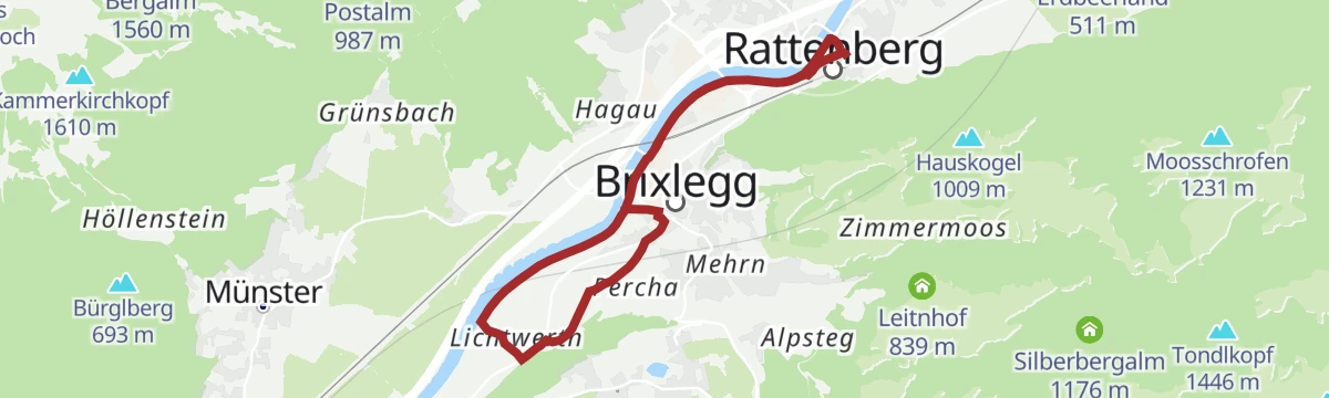
KulTour - Burgenweg Alpbachtal
Castle-history circuit between Rattenberg, Radfeld and Brixlegg linking ruins and noble seats of the lower Alpbachtal, with the Vitriolhütte along the way.
- 10.2 km
- Distance
- 246 m
- Ascent
- 3 h
- Duration
- 4
- Check-ins
Rennrad 01 Alpbachtal Giro
A big road day from the lower Inn valley over the Kerschbaumer Sattel at 1,113 m, with the lakes near Kramsach at start and finish.
- 117.2 km
- Distance
- 2 003 m
- Ascent
- 12 h 17 min
- Duration
- 58
- Check-ins
KulTour - Burgenweg Alpbachtal im Winter
Winter-adapted version of the Alpbachtal castle walk near Rattenberg and Radfeld, shortened and kept low so it stays walkable when snow lies.
- 8.2 km
- Distance
- 44 m
- Ascent
- 2 h 1 min
- Duration
- 4
- Check-ins
Rennrad 08 Pölvenrunde
A long road circuit from the lower Inn valley over to Hopfgarten in the Brixental, returning by Mariastein and Angerberg.
- 82.2 km
- Distance
- 1 004 m
- Ascent
- 8 h 14 min
- Duration
- 50
- Check-ins
KulTour - Burgenweg Alpbachtal mit dem Rad
A nearly flat culture circuit designed for the saddle, tracing castle history around Rattenberg, Radfeld and Brixlegg with a stop at the Vitriolhütte.
- 9.2 km
- Distance
- 34 m
- Ascent
- 2 h 14 min
- Duration
- 4
- Check-ins
Rennrad 13 Zillergrund Stausee
A long ride to Mayrhofen and on up the side valley towards the reservoir, reaching the Bärenbadalm at about 1,450 m.
- 109.6 km
- Distance
- 1 070 m
- Ascent
- 10 h 44 min
- Duration
- 47
- Check-ins
Radfelder Höhenweg
Balcony route above the Inn valley that climbs from Radfeld to the wooded Hauskogel, gaining its height in steady forest switchbacks before looping back to the village.
- 14.3 km
- Distance
- 633 m
- Ascent
- 4 h 54 min
- Duration
Rennrad 17 Highway to Höll - auf den Spuren der Rad WM 2018
A long ride on the roads of the 2018 world championships, out along the Inn valley and up to the Hungerburg terrace above Innsbruck.
- 110.0 km
- Distance
- 1 100 m
- Ascent
- 10 h 47 min
- Duration
- 42
- Check-ins
16 - Radmarathon Seenrunde
A long-distance road circuit from the Angerberg terrace down to the bathing lakes near Kramsach and back by way of Mariastein.
- 94.3 km
- Distance
- 1 610 m
- Ascent
- 9 h 53 min
- Duration
- 42
- Check-ins
01A - Seenrundfahrt - Variante Brandenberg
A long road loop through the lower Inn valley and up the side valley to Brandenberg, taking in the small lakes around Kramsach.
- 90.9 km
- Distance
- 1 593 m
- Ascent
- 9 h 34 min
- Duration
- 39
- Check-ins
Rennrad 07 Kufstein Festungsrunde
A long road loop down the Inn valley to the fortress town of Kufstein and back, starting from the lakes near Kramsach.
- 75.9 km
- Distance
- 650 m
- Ascent
- 7 h 21 min
- Duration
- 38
- Check-ins
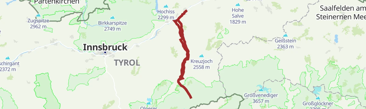
Rennrad 14 Hinterhorn Alm
A long road day up the Inn valley from Radfeld, finishing with the toll-road climb to the alm at 1,522 m north of Hall in Tirol.
- 93.9 km
- Distance
- 1 328 m
- Ascent
- 9 h 35 min
- Duration
- 36
- Check-ins
Rennrad 12 Zillertal Cappucino
A flat run from the Inn up the valley to Mayrhofen and back, following the valley floor past Zell am Ziller.
- 74.7 km
- Distance
- 278 m
- Ascent
- 6 h 53 min
- Duration
- 35
- Check-ins
Rennradrunde - Reintaler Seen
A long road circuit from the Inn valley up to the lakes above Kramsach, with inns and campsites along the shore.
- 69.9 km
- Distance
- 655 m
- Ascent
- 6 h 49 min
- Duration
- 34
- Check-ins
Rennrad 03 Angerberg
A road tour from the lakes at Kramsach onto the terrace above the lower Inn valley, returning through Rattenberg and Brixlegg.
- 59.3 km
- Distance
- 473 m
- Ascent
- 5 h 42 min
- Duration
- 33
- Check-ins
Rennrad 06 Brandenberg-Breitenbach
A road ride out of Radfeld into the side valley north of Rattenberg, returning along the Inn by way of Kramsach.
- 44.3 km
- Distance
- 687 m
- Ascent
- 4 h 35 min
- Duration
- 28
- Check-ins
Rennrad 04 Kleine Seenrunde
A short, flat road round between Radfeld and the lakes at Kramsach, passing Toni's Seealm and the guesthouses along the shore.
- 30.2 km
- Distance
- 223 m
- Ascent
- 2 h 53 min
- Duration
- 27
- Check-ins
Kramsacher Seen Radrunde (507)
A flat circuit around the lakes on the valley floor, past Toni's Seealm and the Fischerstube, with campsites and inns along the shore.
- 19.6 km
- Distance
- 67 m
- Ascent
- 1 h 48 min
- Duration
- 26
- Check-ins
Gravelbiketour: Reintaler Seenrunde
A gravel loop out of Kundl to the lakes at Kramsach, running past Toni's Seealm and the shoreline campsites before the valley return.
- 62.9 km
- Distance
- 558 m
- Ascent
- 6 h 6 min
- Duration
- 25
- Check-ins
Rennrad 09 Alpbach-Reither Kogel
A road climb from the Inn valley up the side valley to the Kerschbaumer Sattel at 1,113 m, with the Postalm shortly before the top.
- 46.7 km
- Distance
- 1 131 m
- Ascent
- 5 h 13 min
- Duration
- 24
- Check-ins
Inntaler Seen Runde
A road tour dropping from the Wildschönau to the campsites by the lakes at 575 m, then climbing over 1,200 m back to the Almhof.
- 53.1 km
- Distance
- 1 209 m
- Ascent
- 5 h 51 min
- Duration
- 16
- Check-ins
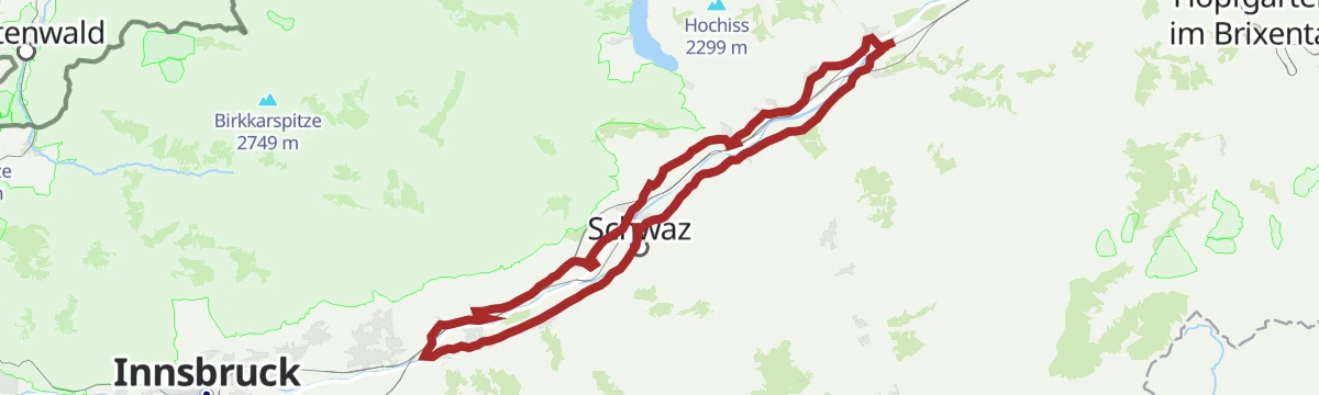
Rennrad 15 Oberes Unterinntal
A rolling road tour along the Inn between Radfeld and Wattens, passing Schloss Tratzberg and the mouth of the Zillertal at Strass.
- 72.4 km
- Distance
- 323 m
- Ascent
- 6 h 44 min
- Duration
- 12
- Check-ins
- Hotel Schwarzbrunn 569 m
- Tourismusinformation Rattenberg-Radfeld-Brixlegg 516 m
- Seminarhaus Schloss Tratzberg 544 m
- ECON Holzbau- Zimmerei 530 m
- Maoribrunnen beim Dorfinstallateur 520 m
- Goidinger Bau 554 m
- +1
Thierseerunde
A long circuit north of the Inn through the Thiersee basin, crossing the Marblinger Höhe and reaching the Kaiserhaus in the Brandenberg valley.
- 78.1 km
- Distance
- 1 462 m
- Ascent
- 8 h 19 min
- Duration
- 9
- Check-ins
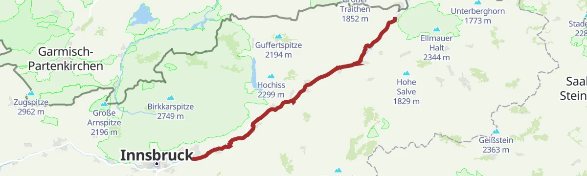
Innradweg - Tiroler Unterland - Radwanderroute 2
A long day on the Inn valley cycle route, running downstream from Innsbruck through Hall in Tirol to Rattenberg, Brixlegg and Kundl.
- 99.6 km
- Distance
- 95 m
- Ascent
- 8 h 58 min
- Duration
- 5
- Check-ins
Innradweg von Innsbruck bis Wörgl
A near-flat run downstream along the Inn from Innsbruck to Wörgl, passing Hall in Tirol and the villages of the lower valley.
- 68.5 km
- Distance
- 268 m
- Ascent
- 6 h 20 min
- Duration
- 3
- Check-ins
No routes of this kind in Radfeld yet.
The region's own picks

Featured route
Spazierweg Kramsach bis Rattenberg
Flat stroll from Kramsach across the Inn to Rattenberg, Austria's smallest town, whose glassworks and medieval lane reward the short walk.
Planning a trip to Radfeld?
Everything else Tyrol has, in one place


Take Radfeld with you into the mountains
Every route on this page with 3D terrain, GPX navigation and offline maps — including the valleys with no signal.
Data sources
- Official website: alpbachtal.at ↗
- Routes and highlights: Alpbachtal Tourismus, Kitzbüheler Alpen Tourismus, Kufsteinerland, Wilder Kaiser Tourismus, Region Hall-Wattens, Wildschönau Tourismus
- Published as open data by the tourist boards named above.
- Region summary generated from the board's own material.
