


















Curated by Sterzing, Pfitsch und Freienfeld
Racines/Ratschings
Side valleys west of Vipiteno reaching the Cima Libera, with the Val Ridanna mining museum at Monteneve.
- 7Highlights
- 153Routes
- Featured summit · Becher - Bicchiere
Highlights
8 from neighbouring places
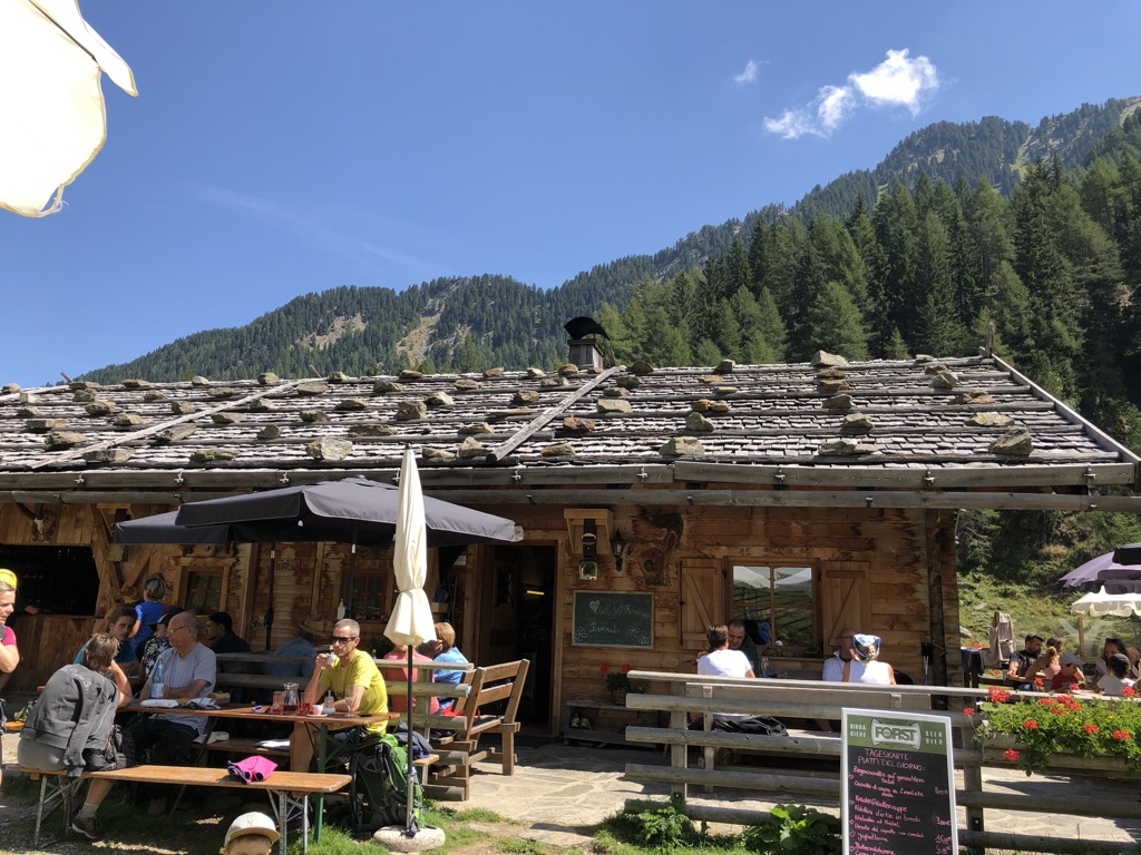
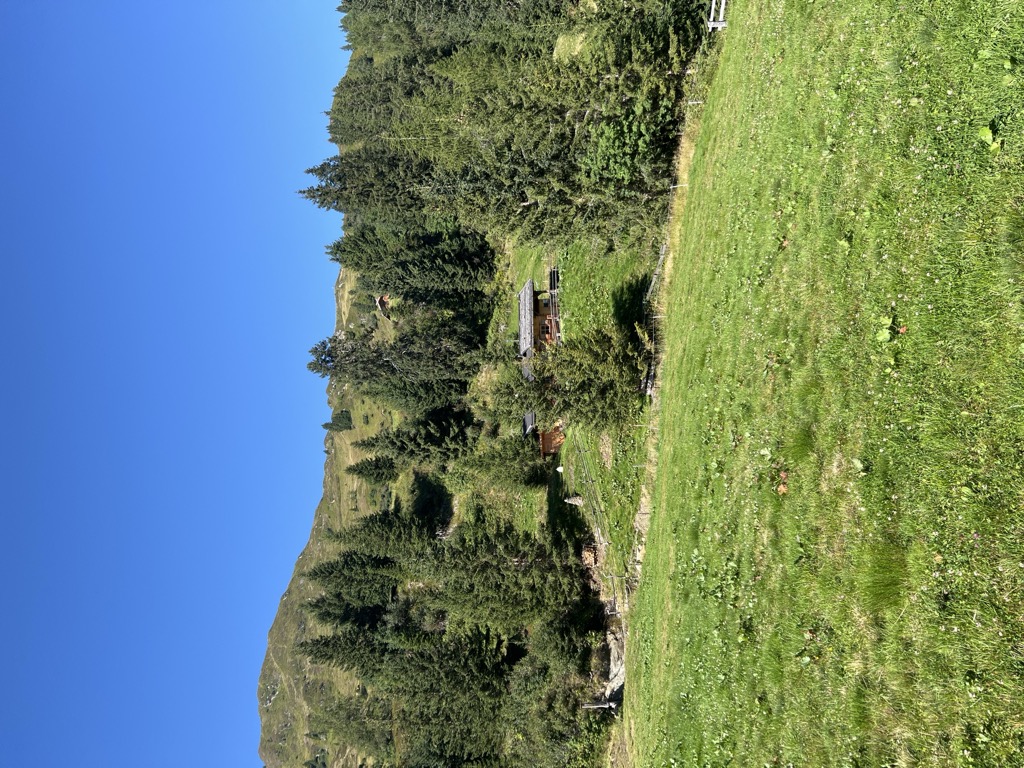
Malga Bergalm
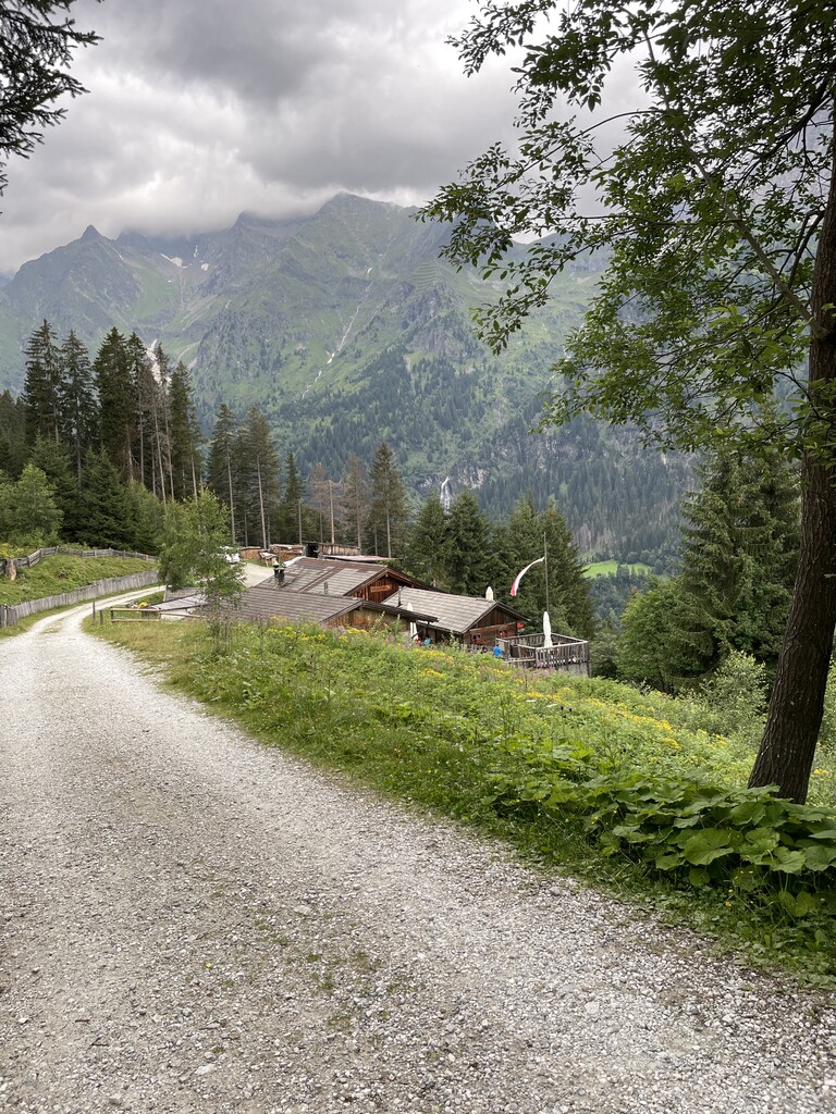
A dairy hut on the high pastures above Racines, in the Stubai Alps north of the Val d'Isarco.
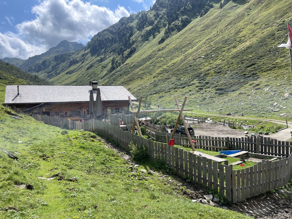
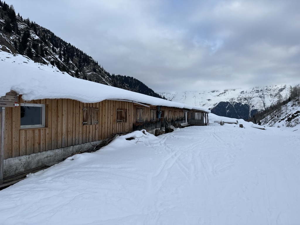
Sterzing, Pfitsch und FreienfeldMalga Martalm
A pasture hut on the slopes above the Val Ridanna, in the comune of Racines.
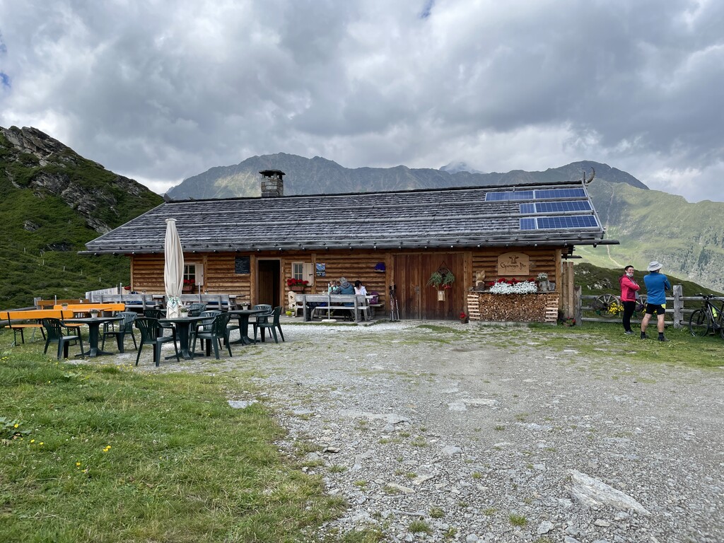
Sterzing, Pfitsch und FreienfeldMalga Obere Gewingesalm
The upper of two dairy huts on the Gewinges pastures above Racines, in the mountains of the Ratschings valley.
Sterzing, Pfitsch und FreienfeldMalga Rinneralm
A working dairy on the Rinner pastures above Racines, reached by track from the valley below.
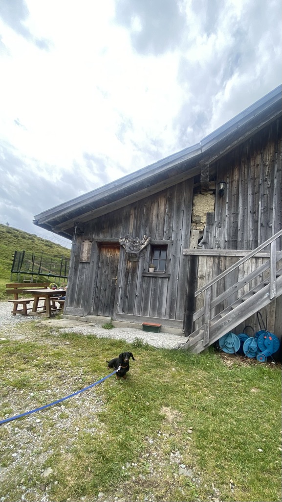
Sterzing, Pfitsch und FreienfeldMalga Untere Gewingesalm
The lower of the two Gewinges dairy huts above Racines, on the pastures of the Ratschings valley.
Sterzing, Pfitsch und FreienfeldMalga Valtiglalm
A dairy hut on the Valtigl pastures above Racines, in the Stubai Alps.
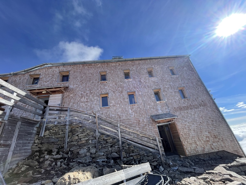
Sterzing, Pfitsch und FreienfeldRifugio Biasi al Bicchiere
A refuge set on a rock tower high above the Val Ridanna, the highest in South Tyrol, reached by a long climb from Masseria.
Rifugio Stella Alpina
8.3 km away, in Brennero/Brenner
A former dairy hut turned mountain inn on the pastures above Colle Isarco, on the Italian side of the Brenner pass.
Walterkaser
8.5 km away, in Vipiteno/Sterzing
A dairy hut on the grazing slopes above Vipiteno, in the upper Val Isarco near the Brenner.
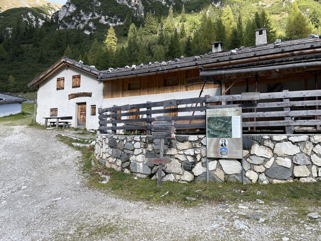
Sterzing, Pfitsch und FreienfeldJörgnerkaser
8.5 km away, in Vipiteno/Sterzing
A dairy hut on the pastures above Vipiteno, in the upper Val Isarco.
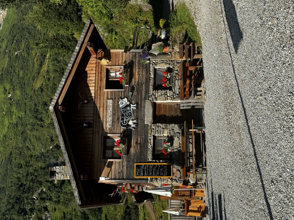
Malga Furt
8.9 km away, in Brennero/Brenner
A dairy hut on the pastures of the Brennero comune, in the upper Val Isarco, reached by a track from the valley floor.
Sterzing, Pfitsch und FreienfeldSternhütte
9 km away, in Vipiteno/Sterzing
A hut on the pastures above Vipiteno, reached on foot from the side valleys that ring the town.
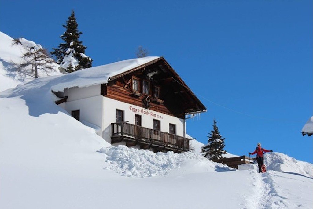
Malga Egger-Grub-Alm
9 km away, in Moso in Passiria/Moos in Passeier
A dairy hut on the pastures above Moso in Passiria, on the eastern flank of the upper Passeier valley.
Sterzing, Pfitsch und Freienfeldmalga Allriss
9.2 km away, in Brennero/Brenner
A dairy hut in the Val di Fleres, in the comune of Brennero, on the way in to the Tribulaun peaks on the Austrian border.
Sterzing, Pfitsch und FreienfeldPanorama-Restaurant Sterzingerhaus
9.2 km away, in Vipiteno/Sterzing
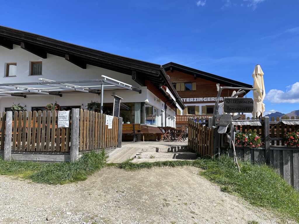
A mountain restaurant on Monte Cavallo above Vipiteno, at the top of the cable car from the town.
Nothing of this kind in Racines/Ratschings.
Routes
50 routes, an even mix of activities · see the rest on suedtirol.info ↗
Da Masseria alla Malga Aglsbodenalm
An easy walk from the mining museum at Masseria to the Aglsbodenalm, by way of the Burkhardklamm gorge or the path outside it.
- 6.8 km
- Distance
- 324 m
- Ascent
- 2 h 24 min
- Duration
- 35
- Check-ins
Open route Sterzing, Pfitsch und FreienfeldFrom the mountain station of the Ratschings-Jaufen cable car to the Fleckner summit
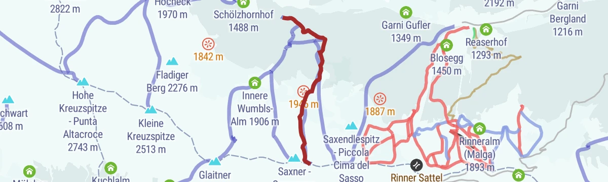
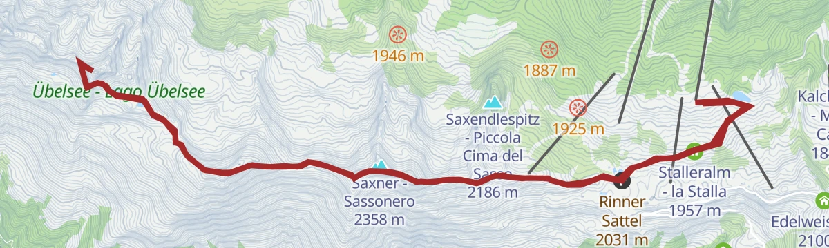
From the top of the Ratschings-Jaufen gondola by the Wasserfaller and Saxner huts to the Rinner saddle, then up the ridge to the Fleckner.
- 8.2 km
- Distance
- 497 m
- Ascent
- 3 h 26 min
- Duration
- 54
- Check-ins
 Fleckner 2 331 m
- Fosnochter 2 261 m
 Saxnerhütte 1 942 m
- Skigebiet Ratschings-Jaufen - Zona sciistica Racines-Giovo 1 839 m
- Waldhütte - 1 821 m
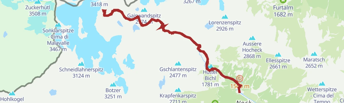
Open route Ratschings TourismusDa Masseria alla Cima Libera
A long climb from Masseria up the Ridnaun valley by the Vedretta Piana and Vedretta Pendente huts to the Cima Libera on the border crest.
- 12.6 km
- Distance
- 2 115 m
- Ascent
- 8 h 16 min
- Duration
- 130
- Check-ins
- Becher - Bicchiere 3 195 m
- Cima Libera 3 418 m
- Signalgipfel 3 392 m
- Teplitzerhütte - Rifugio Vedretta Pendente 2 586 m
- Becherhaus - Rifugio Gino Biasi al Bicchiere 3 195 m
- Grohmannhütte - Rifugio Vedretta Piana 2 254 m
- +2
Open route Sterzing, Pfitsch und FreienfeldTour scialpinistica da Racines alla cima Fleckner (2331 m)
A ski tour from Ratschings to the Fleckner, forest road at first and then a line through thick wood past the Waldhuttl at 1,744 m.
- 3.7 km
- Distance
- 813 m
- Ascent
- 0 m
- Descent
- 2 h 11 min
- Duration
- 21
- Check-ins
Open route Sterzing, Pfitsch und FreienfeldTour scialpinistica da Vallettina alla Punta Alta Croce (2743 m)
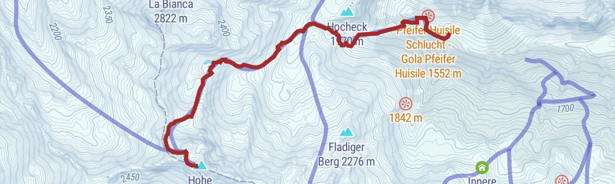
A ski tour from Vallettina to the Hohe Kreuzspitze, past the Klammalm at 1,925 m and up a diagonal ramp above a rock step.
- 5.7 km
- Distance
- 1 264 m
- Ascent
- 11 m
- Descent
- 3 h 25 min
- Duration
- 36
- Check-ins
Open route Sterzing, Pfitsch und FreienfeldVon der Bergstation Ratschings-Jaufen zur Wasserfalleralm
A short, near-level walk from the Ratschings-Jaufen top station along the pasture track to the Wasserfalleralm.
- 1.9 km
- Distance
- 69 m
- Ascent
- 37 min
- Duration
- 23
- Check-ins
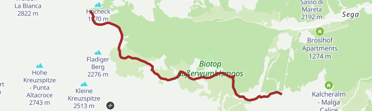
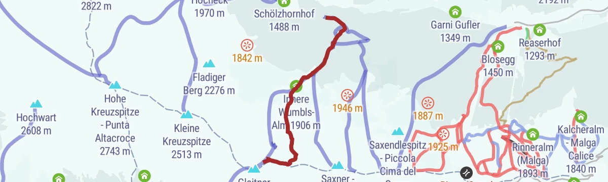
From the Ratschings-Jaufen cable car mountain station to the Klammalm mountain hut
The Ratschings pasture path from the gondola top station, calling at the Wasserfaller, Saxner and Wumbels huts before the Klammalm.
- 8.1 km
- Distance
- 307 m
- Ascent
- 2 h 34 min
- Duration
- 46
- Check-ins
- Klammalm 1 925 m
- Saxnerhütte 1 942 m
- Skigebiet Ratschings-Jaufen - Zona sciistica Racines-Giovo 1 839 m
- Waldhütte - 1 821 m
- Innere Wumbls-Alm 1 906 m
- Äußere Wumbls-Alm 1 865 m
- +1
Open route Ratschings TourismusFrom Maiern to the Wilder Freiger peak
A big ascent from the mining museum at the head of the Ridnaun valley by the Grohmann and Teplitzer huts to the Wilder Freiger on the main crest.
- 12.5 km
- Distance
- 2 138 m
- Ascent
- 8 h 22 min
- Duration
- 130
- Check-ins
- Becher - Bicchiere 3 195 m
- Cima Libera 3 418 m
- Signalgipfel 3 392 m
- Teplitzerhütte - Rifugio Vedretta Pendente 2 586 m
- Becherhaus - Rifugio Gino Biasi al Bicchiere 3 195 m
- Grohmannhütte - Rifugio Vedretta Piana 2 254 m
- +2
Open route Ratschings TourismusTour scialpinistica da Ridanna alla cima Einachtspitze (2304 m)
A ski tour above Ridnaun, up the meadows past Entholz and through wood on the line of summer path 25 towards the Joggelealm and the Einachtspitze.
- 3.9 km
- Distance
- 864 m
- Ascent
- 0 m
- Descent
- 2 h 19 min
- Duration
- 11
- Check-ins
Open route Sterzing, Pfitsch und FreienfeldTour scialpinistica da Vallettina alla Piccola Punta di Montecroce (2518 m)
A ski tour from Vallettina by the Klammalm and a wide upper valley to the Kleine Kreuzspitze at 2,518 m.
- 4.8 km
- Distance
- 1 031 m
- Ascent
- 0 m
- Descent
- 2 h 48 min
- Duration
- 32
- Check-ins
Open route Sterzing, Pfitsch und FreienfeldDalla stazione a monte Racines-Giovo alla piattaforma panoramica 360° Enzianjoch
A gentle walk from the gondola top past the Rinneralm and its tarn to the Enzianjoch viewing platform, where plaques name the surrounding peaks.
- 5.4 km
- Distance
- 228 m
- Ascent
- 1 h 49 min
- Duration
- 23
- Check-ins
- Skigebiet Ratschings-Jaufen - Zona sciistica Racines-Giovo 1 839 m
 Rinner Sattel 2 031 m
- Rinneralm (Malga) 1 893 m
- Malga Sociale 1 891 m
- Stalleralm - la Stalla 1 957 m
Open route Sterzing, Pfitsch und FreienfeldLaufstrecke Rinneralm
A marked running loop up to the Rinneralm above Ratschings, on gravel tracks through pasture.
- 12.4 km
- Distance
- 338 m
- Ascent
- 3 h 45 min
- Duration
- 40
- Check-ins
Wilder Pfaff 3458m, Zuckerhütl 3507m, Wilder Freiger 3419m
A long glacier round from the Timmelsbrücke by the Timmelsalm and the Schwarzwandscharte to the Müllerhütte, then over the Wilder Pfaff to the Zuckerhütl and the Wilder Freiger.
- 29.7 km
- Distance
- 2 237 m
- Ascent
- 14 h 38 min
- Duration
- 100
- Check-ins
- Becher - Bicchiere 3 195 m
- Cima Libera 3 418 m
- Signalgipfel 3 392 m
- Wilder Pfaff - Cima del Prete 3 456 m
- Becherhaus - Rifugio Gino Biasi al Bicchiere 3 195 m
- alte Zollhütte 3 376 m
- +4
Open route AVS Sektion Sand in TaufersTour scialpinistica da Racines alla cima Glaitner Hochjoch (2389 m)
A ski tour above Ratschings on the line of summer path 10, through open wood past a wayside cross to the Glaitner Hochjoch.
- 3.9 km
- Distance
- 871 m
- Ascent
- 0 m
- Descent
- 2 h 20 min
- Duration
- 5
- Check-ins
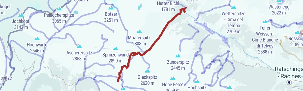
Open route Sterzing, Pfitsch und FreienfeldTour scialpinistica da Masseria alla Bianca (2822 m)
A long ski tour from Masseria up the Lazzago valley past the ruins of the Poschhaus to the Ratschinger Weissen at 2,822 m.
- 11.2 km
- Distance
- 1 406 m
- Ascent
- 10 m
- Descent
- 4 h 23 min
- Duration
- 23
- Check-ins
- Ratschinger Weißen - La Bianca 2 822 m
- Knappenstube 1 424 m
- Moarerbergalm - Malga Lazzago 2 141 m
- Sandjoch - Passo della Rena 2 570 m
Open route Sterzing, Pfitsch und FreienfeldBergErlebnisWelt
A short circuit of the mountain adventure park at the Ratschings-Jaufen top station, with play stops set along it.
- 1.8 km
- Distance
- 58 m
- Ascent
- 34 min
- Duration
- 21
- Check-ins
Von Flading zur Hohen Kreuzspitze
A walk from Flading at the head of the Ratschings valley up towards the Hohe Kreuzspitze.
- 11.3 km
- Distance
- 1 265 m
- Ascent
- 7 h 37 min
- Duration
- 36
- Check-ins
Da Masseria al Rifugio Gino Biasi al Bicchiere
A long climb from Masseria to the Gino Biasi hut on the Bicchiere, perched above 3,100 m on the Stubai crest.
- 23.1 km
- Distance
- 1 979 m
- Ascent
- 12 h 33 min
- Duration
- 95
- Check-ins
- Becher - Bicchiere 3 195 m
- Teplitzerhütte - Rifugio Vedretta Pendente 2 586 m
- Becherhaus - Rifugio Gino Biasi al Bicchiere 3 195 m
- Grohmannhütte - Rifugio Vedretta Piana 2 254 m
- Knappenstube 1 424 m
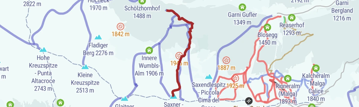
Open route Sterzing, Pfitsch und FreienfeldTour scialpinistica da Racines alla cima Saxner (2358 m)
A ski tour above Ratschings on forest roads and a steep wooded path to the Saxner at 2,358 m.
- 3.7 km
- Distance
- 840 m
- Ascent
- 0 m
- Descent
- 2 h 14 min
- Duration
- 3
- Check-ins
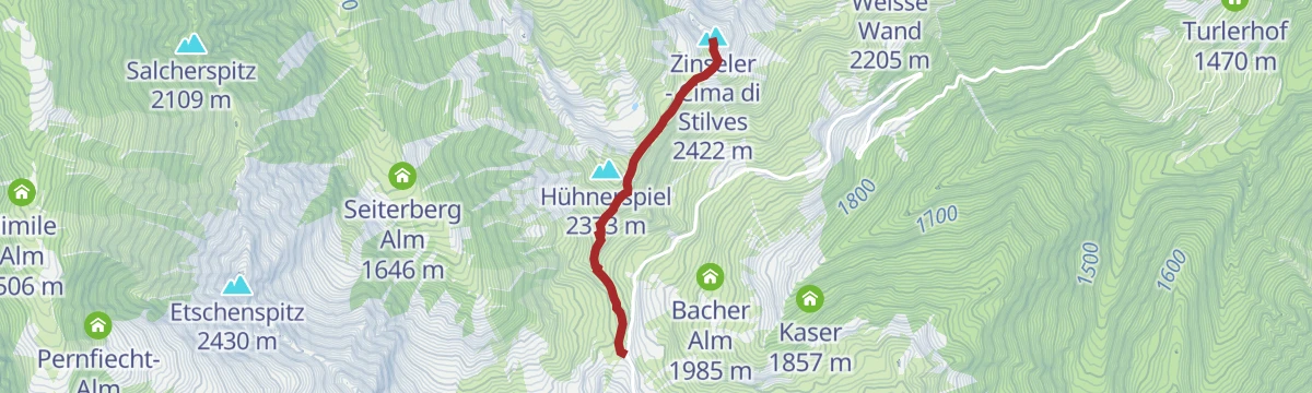
Open route Sterzing, Pfitsch und FreienfeldSkitour von St. Anton zum Zinseler (2422 m)
A big ski tour from Sant'Antonio through wood past the Wieslhof and up the Caspineto valley to the Zinseler at 2,422 m.
- 6.1 km
- Distance
- 1 367 m
- Ascent
- 0 m
- Descent
- 3 h 40 min
- Duration
- 20
- Check-ins
Open route Sterzing, Pfitsch und FreienfeldTo the Zinseler summit
A family climb from the Penser Joch road along the ridge over two saddles to the Zinseler, a good top for sunrise or sunset.
- 4.7 km
- Distance
- 320 m
- Ascent
- 2 h 8 min
- Duration
- 21
- Check-ins
- Zinseler - Cima di Stilves 2 422 m
- Gospeneider Jöchl - Giogo di Caspineto 2 300 m
- Seiterbergjoch 2 159 m
Open route SterzingDa Masseria alla Malga Aglsbodenalm su strade sterrate
A gravel road walk from Masseria by Gesennen and the entrance to the Burkhardklamm up to the Aglsboden dam and the alp above it.
- 11.4 km
- Distance
- 356 m
- Ascent
- 3 h 34 min
- Duration
- 35
- Check-ins
Open route Sterzing, Pfitsch und FreienfeldFrom Maiern to the Becherhaus alpine hut
A long approach from Maiern past the Grohmann and Teplitzer huts to the Becherhaus, the highest hut in South Tyrol.
- 22.6 km
- Distance
- 1 967 m
- Ascent
- 12 h 26 min
- Duration
- 95
- Check-ins
- Becher - Bicchiere 3 195 m
- Teplitzerhütte - Rifugio Vedretta Pendente 2 586 m
- Becherhaus - Rifugio Gino Biasi al Bicchiere 3 195 m
- Grohmannhütte - Rifugio Vedretta Piana 2 254 m
- Knappenstube 1 424 m
Open route Ratschings TourismusSkitour von Maiern zur Gleckspitze (2583 m)
A ski tour from Maiern up the Lazzacher valley, leaving the track at about 2,030 m to follow a stream up to the steep Gleckspitze.
- 6.9 km
- Distance
- 1 203 m
- Ascent
- 0 m
- Descent
- 3 h 25 min
- Duration
- 17
- Check-ins
Open route Sterzing, Pfitsch und FreienfeldDa Masseria alla Malga Stadlalm
A short gravel-road walk from the Masseria mining museum up to the Malga Stadlalm, passable with a pushchair or a bike.
- 4.2 km
- Distance
- 204 m
- Ascent
- 1 h 30 min
- Duration
- 20
- Check-ins
Open route Sterzing, Pfitsch und FreienfeldDa Masseria al Rifugio Vedretta Piana
A climb from Masseria up the Ridnaun valley to the Vedretta Piana hut, by the Burkhardklamm or the path that skirts it.
- 11.5 km
- Distance
- 860 m
- Ascent
- 5 h 37 min
- Duration
- 34
- Check-ins
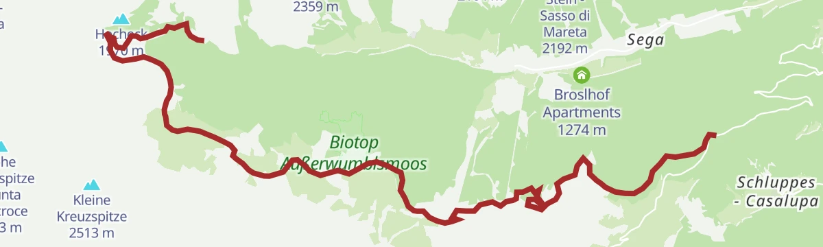
Open route Sterzing, Pfitsch und FreienfeldRatschinger Almenweg
The full pasture-hut traverse across the Ratschings side of the valley, linking one alm after another.
- 15.7 km
- Distance
- 385 m
- Ascent
- 4 h 56 min
- Duration
- 84
- Check-ins
Tour scialpinistica da Ridanna al Croce di Racines (2359 m)
A ski tour from Novale over the wooden bridge and up past the Steinhof farm into the Valtigl valley to the Ratschinger Kreuz.
- 6.2 km
- Distance
- 1 001 m
- Ascent
- 0 m
- Descent
- 2 h 54 min
- Duration
- 13
- Check-ins
- Ratschinger Kreuz 2 359 m
- Valtigl Alm 1 799 m
- Entholzer Alm 2 022 m
- Ratschinger Joch - Giogo di Vallicola 2 296 m
Open route Sterzing, Pfitsch und FreienfeldCascate Burkhard
A 45-minute walk on trail 9 from the mining museum into the Burkhard gorge on the Rio Ferner, over bridges above the falls to the Aglsboden alp.
- 4.6 km
- Distance
- 293 m
- Ascent
- 1 h 59 min
- Duration
- 17
- Check-ins
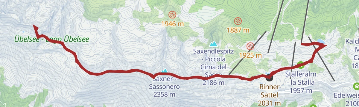
Open route Sterzing, Pfitsch und FreienfeldFrom the mountain station Ratschings-Jaufen cable car to the Rinner Sattel saddle and Saxenle peak
From the gondola top by the Rinneralm to the Rinner saddle, then along below the Fosnochter and on exposed path 19A to the Saxendlespitz.
- 8.9 km
- Distance
- 575 m
- Ascent
- 3 h 54 min
- Duration
- 33
- Check-ins
- Fosnochter 2 261 m
- Saxendlespitz - Piccola Cima del Sasso 2 186 m
- Skigebiet Ratschings-Jaufen - Zona sciistica Racines-Giovo 1 839 m
- Rinner Sattel 2 031 m
- Rinneralm (Malga) 1 893 m
- Malga Sociale 1 891 m
- +1
Open route Ratschings TourismusSentiero delle malghe di Racines
The Racines hut path from the Malga Calice car park below the Jaufen pass, over to the Rinneralm and the gondola station above.
- 15.8 km
- Distance
- 386 m
- Ascent
- 4 h 57 min
- Duration
- 84
- Check-ins
- Klammalm 1 925 m
- Saxnerhütte 1 942 m
- Wasserfaller Alm - Malga Cascata 1 903 m
- Skigebiet Ratschings-Jaufen - Zona sciistica Racines-Giovo 1 839 m
- Kalcheralm - Malga Calice 1 840 m
- Flading Alm 1 675 m
- +7
Open route Sterzing, Pfitsch und FreienfeldTour scialpinistica da Racines alla cima Fasnachter (2268 m)
A ski tour to the Fosnochter above Ratschings, by forest road or by the steeper line along the Mahlbach, both passing the Kaserlichtalm.
- 4.1 km
- Distance
- 944 m
- Ascent
- 162 m
- Descent
- 2 h 36 min
- Duration
- 11
- Check-ins
Open route Sterzing, Pfitsch und FreienfeldFrom Maiern through the Burkhardklamm gorge
A short walk from the mining museum at Maiern into the Burkhardklamm, on bridges above the water of the Rio Ferner.
- 4.7 km
- Distance
- 303 m
- Ascent
- 2 h 2 min
- Duration
- 17
- Check-ins
Open route Ratschings TourismusVon Maiern zur Wetterspitze
A route from Maiern at the head of the Ridnaun valley up towards the Wetterspitze.
- 13.3 km
- Distance
- 1 366 m
- Ascent
- 8 h 22 min
- Duration
- 31
- Check-ins
Escursione in cresta dalla stazione a monte Racines-Giovo alla Piccola Punta di Montecroce
A ridge traverse from the Racines-Giovo top station over the Fleckner and Monte Fumaiolo to the Kleine Kreuzspitze, dropping back by the Klammalm.
- 17.2 km
- Distance
- 1 085 m
- Ascent
- 7 h 25 min
- Duration
- 82
- Check-ins
- Fleckner 2 331 m
- Kleine Kreuzspitze 2 513 m
- Glaitner Hochjoch - Monte Fumaiolo 2 389 m
- Fosnochter 2 261 m
- Saxner - Sassonero 2 358 m
- Skigebiet Ratschings-Jaufen - Zona sciistica Racines-Giovo 1 839 m
- +9
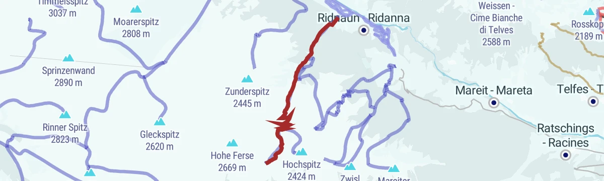
Open route Sterzing, Pfitsch und FreienfeldTour scialpinistica da Ridanna alla Punta Alta (2424 m)
A ski tour from Novale up past the Steinhof and into the Valtigl valley to the Hochspitz at 2,424 m.
- 6.1 km
- Distance
- 1 072 m
- Ascent
- 0 m
- Descent
- 3 h 2 min
- Duration
- 10
- Check-ins
Open route Sterzing, Pfitsch und FreienfeldFrom the Rosskopf cable car mountain station to the Freundalm mountain hut
An easy walk on farm tracks from the Monte Cavallo top station across the pastures by way of the Kuhalm to the Freundalm, manageable with a pushchair.
- 6.9 km
- Distance
- 299 m
- Ascent
- 2 h 21 min
- Duration
- 15
- Check-ins
Open route Ratschings TourismusDa Masseria alla Malga Moarerbergalm
A walk from Masseria by the Stadlalm and the Poschhaus tunnel up to the Moarerbergalm, which a shuttle also serves on request.
- 13.7 km
- Distance
- 709 m
- Ascent
- 5 h 8 min
- Duration
- 26
- Check-ins
- Knappenstube 1 424 m
- Moarerbergalm - Malga Lazzago 2 141 m
- Stadlalm 1 622 m
- Moareralm - Malga del Massaro 1 820 m
Open route Sterzing, Pfitsch und FreienfeldRidge hike from the mountain station of the Ratschings-Jaufen cable car to the Kleine Kreuzspitze peak
A long ridge day from the gondola top by the Rinneralm over the Fleckner and the Glaitner Hochjoch to the Kleine Kreuzspitze.
- 17.0 km
- Distance
- 1 096 m
- Ascent
- 7 h 26 min
- Duration
- 82
- Check-ins
- Fleckner 2 331 m
- Kleine Kreuzspitze 2 513 m
- Glaitner Hochjoch - Monte Fumaiolo 2 389 m
- Fosnochter 2 261 m
- Saxner - Sassonero 2 358 m
- Skigebiet Ratschings-Jaufen - Zona sciistica Racines-Giovo 1 839 m
- +9
Open route Ratschings TourismusTour scialpinistica da Val di Mezzo alla Punta Rossa (2441 m)
A ski tour from Val di Mezzo up the Sennerberg valley past the Simile and Sennerberg alms to the Rothenspitz at 2,441 m.
- 6.6 km
- Distance
- 1 204 m
- Ascent
- 0 m
- Descent
- 3 h 23 min
- Duration
- 9
- Check-ins
Open route Sterzing, Pfitsch und FreienfeldDalla stazione a monte della cabinovia Monte Cavallo alla Malga Ochsenalm
An almost level walk on farm tracks from the Monte Cavallo top station along the Alta Via di Ridanna, above the Malga Kuhalm to the Malga Ochsenalm.
- 5.5 km
- Distance
- 103 m
- Ascent
- 1 h 32 min
- Duration
- 8
- Check-ins
Open route Sterzing, Pfitsch und FreienfeldFrom Sterzing to the Telfer Weißen
A long ascent from Sterzing up the Telferberg to the Telfer Weißen, the pale rocky crest that closes the Ridnauntal.
- 10.8 km
- Distance
- 872 m
- Ascent
- 5 h 37 min
- Duration
- 25
- Check-ins
- Telfer Weissen - Cime Bianche di Telves 2 588 m
- Telfer Weißen Ostgipfel - Cime Bianche di Telves cima invernale 2 565 m
 Kastellacke 1 920 m
- Vallmingalm - Malga di Valmigna 1 813 m
- Ochsenscharte 2 168 m
- Bergrestaurant Roßstodl 1 859 m
- +1
Open route Valle Isarco - EisacktalDolomieu trail - Hike
A long crossing over six alpine pastures from the Rosskopf via Ladurns into the Pflerschtal, the valley where Déodat de Dolomieu identified dolomite rock.
- 22.4 km
- Distance
- 632 m
- Ascent
- 7 h 24 min
- Duration
- 65
- Check-ins
- Allrissalm - Malga Alberes 1 533 m
- Kastellacke 1 920 m
- Panoramarestaurant Sterzingerhaus 1 919 m
- Ladurner Hütte - Malga Ladurns 1 723 m
- RAS-Anlage Pflersch 1 407 m
- Vallmingalm - Malga di Valmigna 1 813 m
- +10
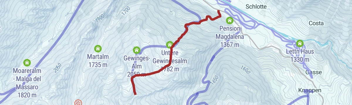
Open route SterzingTour scialpinistica da Ridanna alla Cima dell’Incendio (2381 m)
A ski tour on trail 29 above Masseria, past the lower and upper Gewinges alms and up a small crest to the Zunderspitz.
- 3.2 km
- Distance
- 1 017 m
- Ascent
- 0 m
- Descent
- 2 h 34 min
- Duration
- 2
- Check-ins
Open route Sterzing, Pfitsch und FreienfeldHike to the spring "Ferchwasser"
An easy walk on the Rosskopf above Vipiteno to the Ferchwasser, a spring long held to be good for body and mind.
- 6.7 km
- Distance
- 217 m
- Ascent
- 2 h 6 min
- Duration
- 8
- Check-ins
Open route SterzingFrom Rosskopf to Telfes
A descending traverse on the Ridnauner Höhenweg from the Monte Cavallo station past the Ochsenalm and Freundalm to Obertelfes, with a bus back to town.
- 7.1 km
- Distance
- 89 m
- Ascent
- 2 h 26 min
- Duration
- 17
- Check-ins
- Freundalm 1 728 m
- Kuhalm 1 897 m
- Bergrestaurant Roßstodl 1 859 m
- Ochsenalm 1 905 m
- Biohof Rungger 1 361 m
Open route SterzingRidge hike from the Jaufenpass to the Kleine Kreuzspitze summit
A ridge line starting at the Jaufenpass, over the Fleckner and the Glaitner Hochjoch to the Kleine Kreuzspitze, with a descent by the Klammalm.
- 17.9 km
- Distance
- 933 m
- Ascent
- 6 h 44 min
- Duration
- 65
- Check-ins
- Fleckner 2 331 m
- Kleine Kreuzspitze 2 513 m
- Glaitner Hochjoch - Monte Fumaiolo 2 389 m
- Fosnochter 2 261 m
- Saxner - Sassonero 2 358 m
- Rinner Sattel 2 031 m
- +5
Open route Ratschings TourismusDal Passo Giovo alla piattaforma panoramica 360° Enzianjoch
From the Roemerkehre bend on the Passo Giovo, path 13B to the Rinner Sattel and path 14 to the 360-degree platform at the Enzianjoch.
- 2.4 km
- Distance
- 97 m
- Ascent
- 49 min
- Duration
- 6
- Check-ins
Open route Sterzing, Pfitsch und FreienfeldFrom the Jaufenpass to the Jaufenspitz summit
A short, steep climb from the last hairpin below the pass, on a path with fixed cables in places that calls for a sure foot.
- 3.5 km
- Distance
- 407 m
- Ascent
- 2 h 27 min
- Duration
- 17
- Check-ins
Open route Ratschings TourismusAlmenweg Mountain Pasture Trail in Racines|Ratschings
The long pasture-hut route across the Ratschings slopes, strung between one alm and the next above the valley.
- 17.3 km
- Distance
- 427 m
- Ascent
- 5 h 32 min
- Duration
- 60
- Check-ins
- Klammalm 1 925 m
- Skigebiet Ratschings-Jaufen - Zona sciistica Racines-Giovo 1 839 m
- Kalcheralm - Malga Calice 1 840 m
- Flading Alm 1 675 m
- Rinneralm (Malga) 1 893 m
- Waldhütte - 1 821 m
- +5
Open route Valle Isarco - Eisacktal
No routes of this kind in Racines/Ratschings yet.
The region's own picks
Featured route
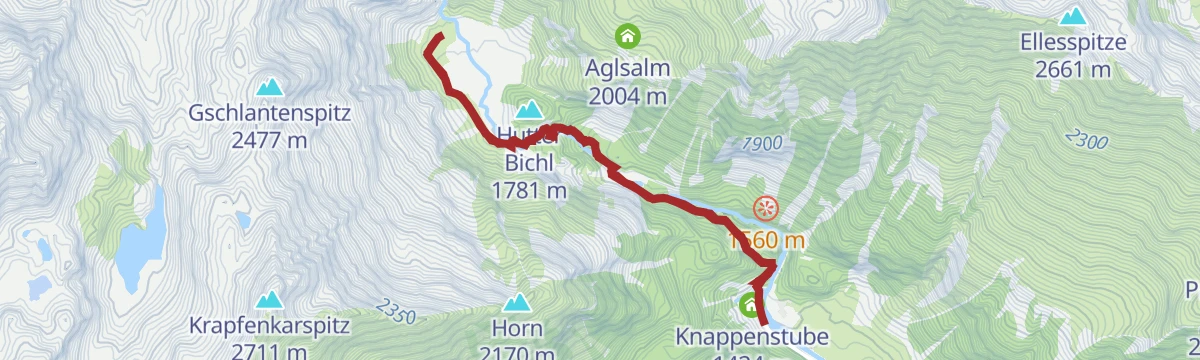
Da Masseria alla Malga Aglsbodenalm
An easy walk from the mining museum at Masseria to the Aglsbodenalm, by way of the Burkhardklamm gorge or the path outside it.
Planning a trip to Racines/Ratschings?
Everything else Trentino-Alto Adige/Südtirol has, in one place


Take Racines/Ratschings with you into the mountains
Every route on this page with 3D terrain, GPX navigation and offline maps — including the valleys with no signal.
Data sources
- Official website: suedtirol.info ↗
- Routes and highlights: Sterzing, Pfitsch und Freienfeld, Ratschings Tourismus, Racines Giovo, Sterzing, Valle Isarco - Eisacktal, AVS Sektion Sand in Taufers
- Published as open data by the tourist boards named above.
- Region summary generated from the board's own material.
