






 Summit
Kleiner Kornigl
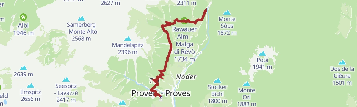
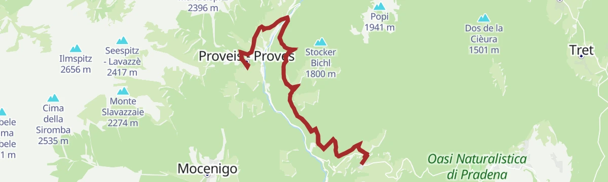
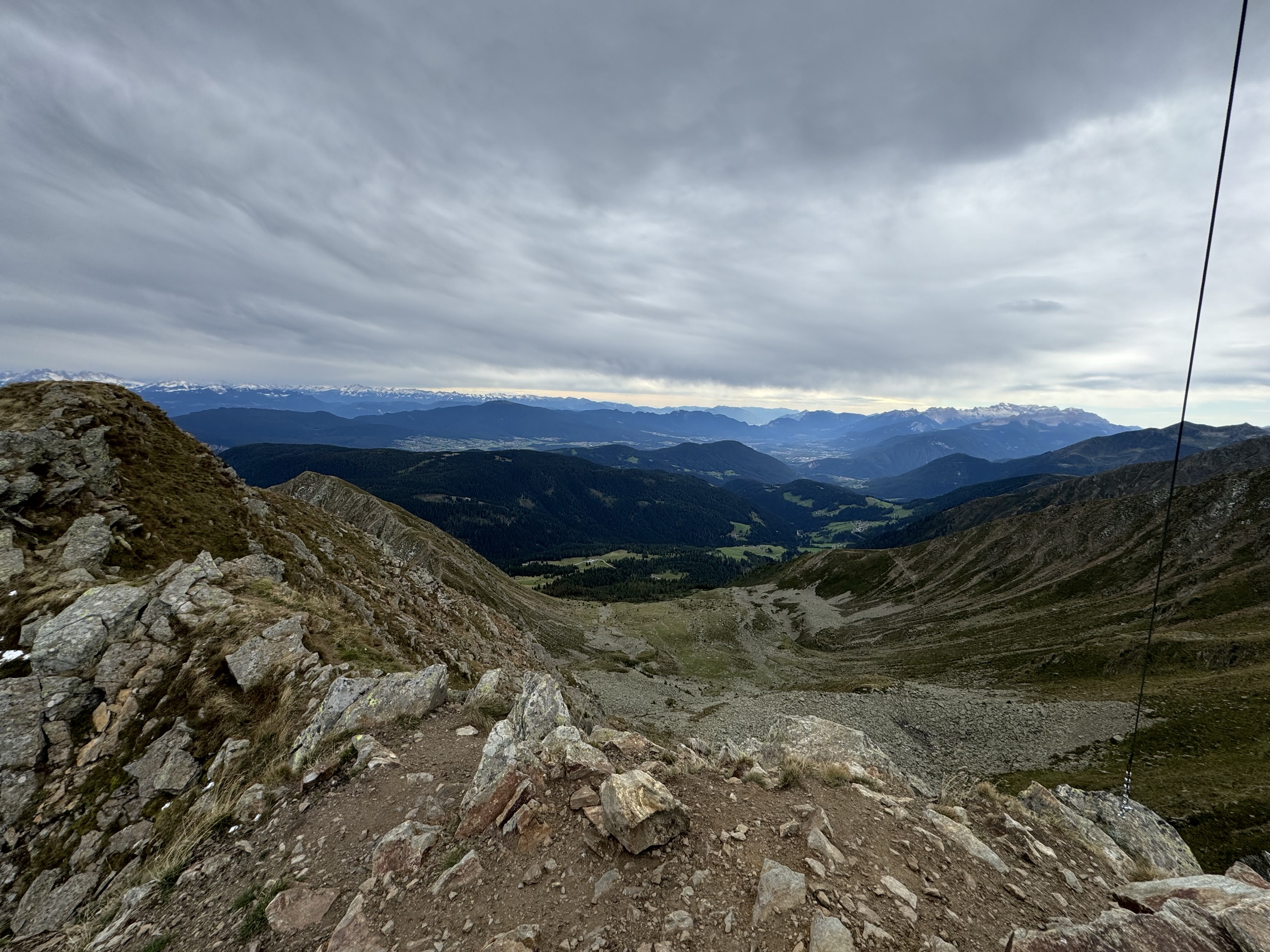
via Loop trail with hike up to the top of Mount Cornicoletto, Belmonte and Vedetta Alta in the Maddalena Group
Curated by APT Val di Non
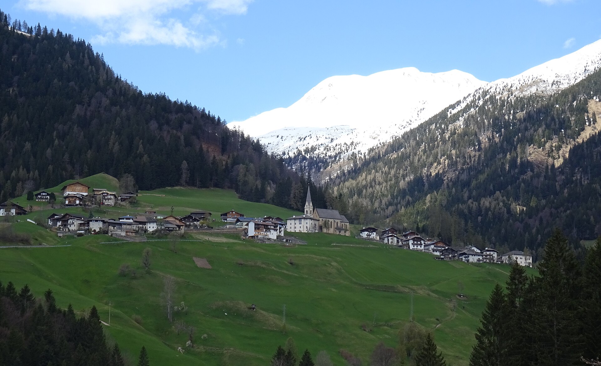
The smallest comune in South Tyrol, on a high shelf in the Val di Non above the Passirio watershed, ringed by working alpine dairies.
Photo: Syrio · CC BY-SA 4.0 licence
5 from neighbouring places
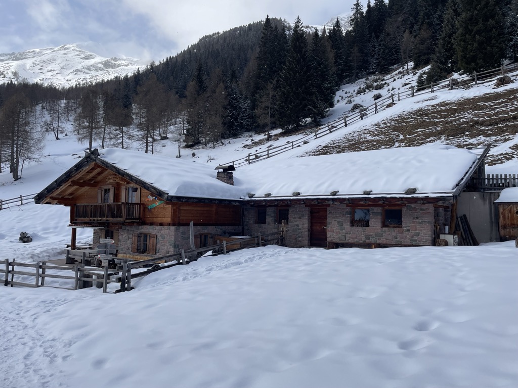
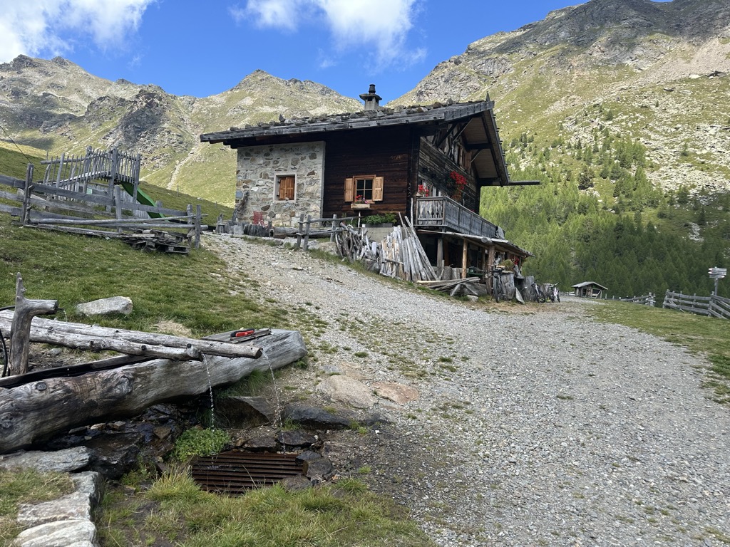
A dairy hut on the pastures above Proves, in the German-speaking upper Val di Non.
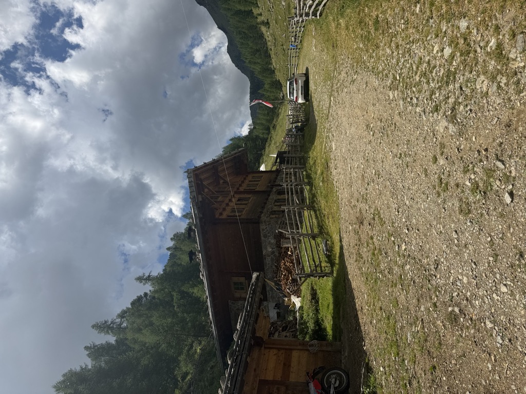
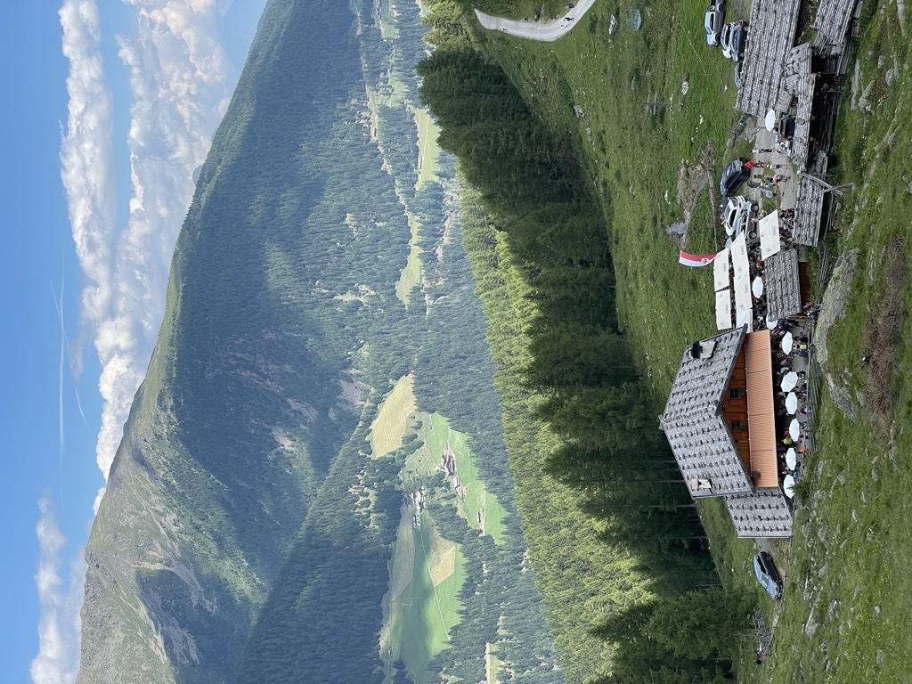
A dairy hut on the Stierberg pastures above Proves, between the Val di Non and the Val d'Ultimo.
9.8 km away, in Ultimo/Ulten
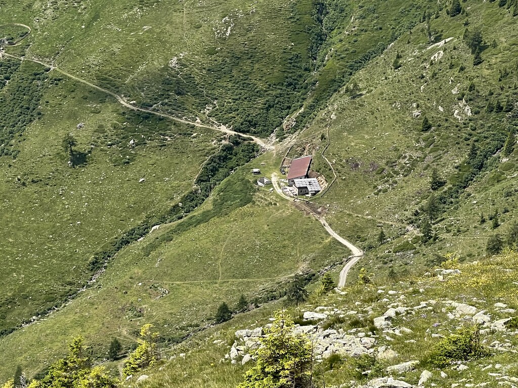
A dairy hut on the Kaserfeld pastures of the Ultental, on the slopes below the ridge that closes the valley to the south.
10.6 km away, in Ultimo/Ulten
A dairy hut on the high pastures above the Val d'Ultimo, in the comune of Ultimo, reached by forest track from the valley farms.
11 km away, in Ultimo/Ulten
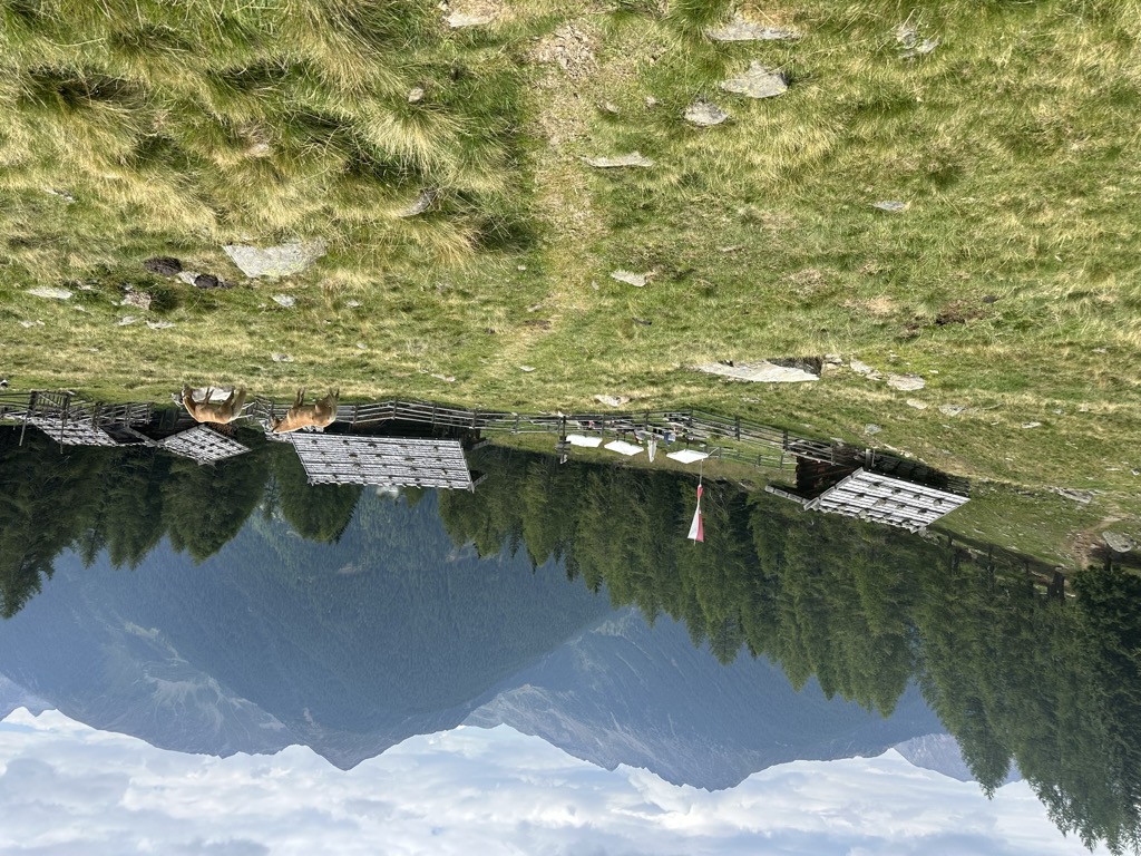
A dairy hut on the Falkomai pastures of the Ultental, high on the shady side of the valley in the comune of Ultimo.
12.6 km away, in Ultimo/Ulten
A dairy hut on the Kirchberg pastures of the Ultental, reached by the track that climbs from the valley road above Ultimo.
13.2 km away, in Ultimo/Ulten
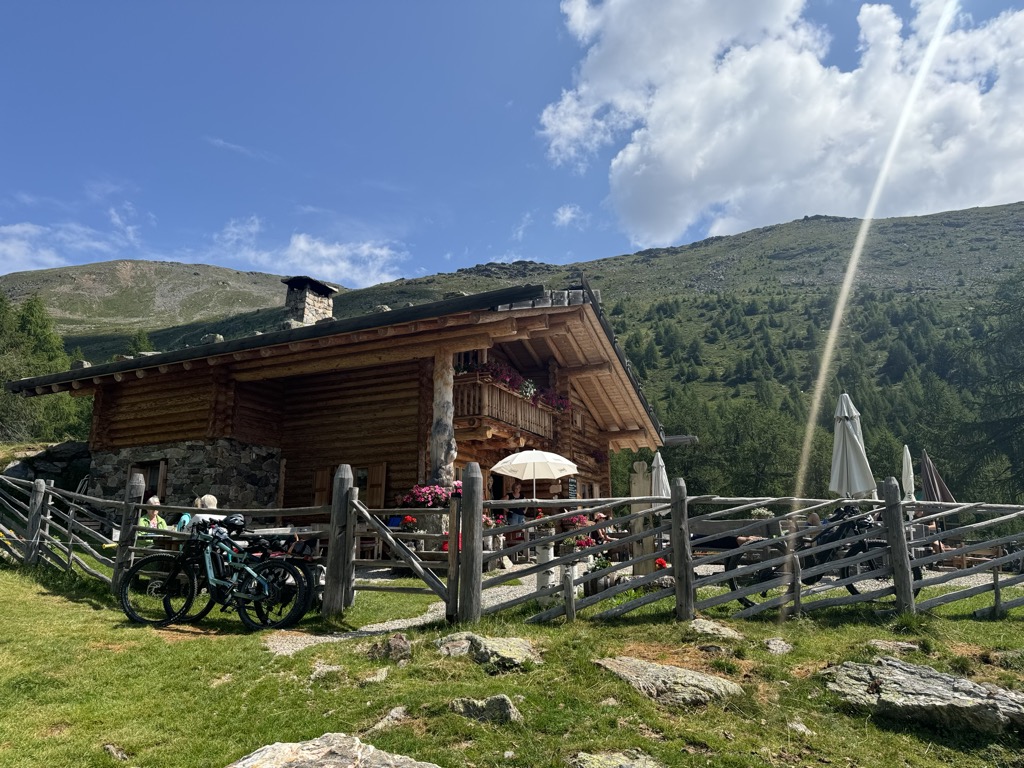
A dairy hut on the Fiecht pastures of the Ultental, in the comune of Ultimo, above the farms on the valley floor.
Nothing of this kind in Proves/Proveis.
An easy route on the language boundary above the Val di Non, laid out to show the differences between the two communities on either side.
A stage of trail 133 that stays high above the Maddalene huts and the villages below, crossing wild ground without hard climbs.
 Obere Kessel Alm 1 917 m Rifugio Maddalene 1 925 m Obere Alm - Malghetto di Cloz 1 892 m
 Samer Joch - Passo di Brèz 2 187 m Passo Castrin - Hofmahdjoch 1 785 m Malga Castrin - Aler Alm 1 814 m
A day's ring linking three tops of the Maddalene, Cornicoletto, Belmonte and Vedetta Alta, with exposed ridges and one unmarked link.
Kleiner Kornigl 2 418 m Hochwart 2 627 m Schöngrub 2 453 m Korb 2 479 m Cloz Alm - Malga di Cloz 1 730 m Rawauer Alm - Malga di Revò 1 734 mA gravel circuit from Revò into the Maddalene, three quarters on forest track among the alm huts.
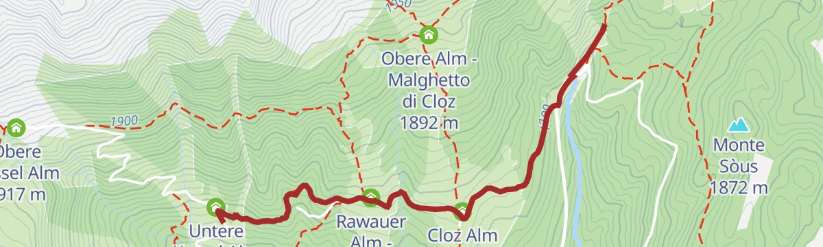
Cloz Alm - Malga di Cloz 1 730 m Rawauer Alm - Malga di Revò 1 734 m Untere Kessel Alm - Malga Caldaia Inferiore 1 670 m Trattoria Arnica 1 246 m Gereit 1 214 m Maso Tafol 890 mA short level walk from Hofmahd to the Untere Kessl hut, passable with a pushchair, where the kitchen serves pine pesto.
Cloz Alm - Malga di Cloz 1 730 m Rawauer Alm - Malga di Revò 1 734 m Untere Kessel Alm - Malga Caldaia Inferiore 1 670 mFrom the Hofmahd car park by the Proves path to the Malga Cloz, then up trail 7 above the treeline to the Cornicolo and Belmonte.
Kleiner Kornigl 2 418 m Schöngrub 2 453 m Cloz Alm - Malga di Cloz 1 730 m Obere Alm - Malghetto di Cloz 1 892 mA ridge loop over three summits of the Maddalene where the Trentino and South Tyrol paths meet, returning by four huts on either side of the border.
Hochwart 2 627 m Großer Kornigl 2 311 m Schöngrub 2 453 m Korb 2 479 m Cloz Alm - Malga di Cloz 1 730 m Rawauer Alm - Malga di Revò 1 734 mAn easy interpretive route through pastures, meadows and woods at Proves, with fourteen themed stations on the way.
Cloz Alm - Malga di Cloz 1 730 m Rawauer Alm - Malga di Revò 1 734 m Untere Kessel Alm - Malga Caldaia Inferiore 1 670 mA circular route touching five alpine huts, two of them ruined, on open ground where the tracks are faint and a map is needed.
Hochwart 2 627 m Korb 2 479 m Cloz Alm - Malga di Cloz 1 730 m Obere Alm - Malghetto di Cloz 1 892 mA twenty-minute walk on trail 8 from the Pra del Signore car park above Lauregno to the Malga Revò.
A loop between Malga Stierbergalm and the Kessel above Proves, with an optional steep and exposed ridge spur to the Ometto summit.
Mandelspitz 2 396 m Obere Kessel Alm 1 917 m Untere Kessel Alm - Malga Caldaia Inferiore 1 670 m Stierbergalm - Malga Manzara 1 850 mAn easy ring above the hamlets of Rumo to the Passo Fresna, open to the Maddalene group and across to Proves.
A loop below the highest peaks of the Maddalene, quiet ground above Proves on the South Tyrol border.
A circuit starting and finishing in the centre of Proves, on quiet forest paths high above the Val di Non.
A long circuit above Proves over Monte Faiden and the Seespitz to the Goldlahn, on the Maddalene ridge.
Monte Faiden 1 992 m Seespitz - Lavazzè 2 417 m Goldlahn 2 390 m Goldlahnspitz 2 184 m Samer Joch - Passo di Brèz 2 187 m Samersee - Laghetto Cima Lavazzè Inferiore 2 215 m
A steep ascent from Proves to the Seespitz, or Cima Lavazzè, in the middle of the Maddalene group.
Seespitz - Lavazzè 2 417 m Goldlahnsee - Laghetto Cima Lavazzè Superiore 2 300 m Stierbergalm - Malga Manzara 1 850 mA much-travelled classic on Cima Lavazzè, in the Maddalene group on the border with South Tyrol.
A steep rocky climb to Cima Ometto in the Maddalene, passing Malga Stierbergalm where milk and a hot dish are served.
A short and in places very steep climb to the Mandlspitz, which stands to the northeast above Proves.
An old link between Lauregno and Proves running high above the Pescara gorge on the sunny side, almost level among farms and forest.
No routes of this kind in Proves/Proveis yet.
Summit
via Loop trail with hike up to the top of Mount Cornicoletto, Belmonte and Vedetta Alta in the Maddalena Group
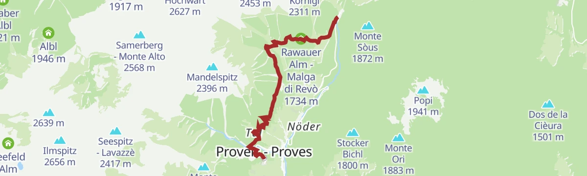
Featured route
An easy route on the language boundary above the Val di Non, laid out to show the differences between the two communities on either side.
Everything else Trentino-Alto Adige/Südtirol has, in one place
Every route on this page with 3D terrain, GPX navigation and offline maps — including the valleys with no signal.


