











Curated by Tauferer Ahrntal
Predoi/Prettau
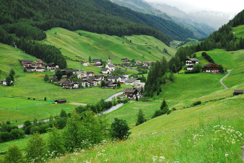
The last village of the Valle Aurina below the Tauri crest, with its copper-mine museum and the Vetta d'Italia above.
Photo: Andre86 · Public domain
- 6Highlights
- 35Routes
- Featured summit · Monte Fumo
Highlights
7 from neighbouring places
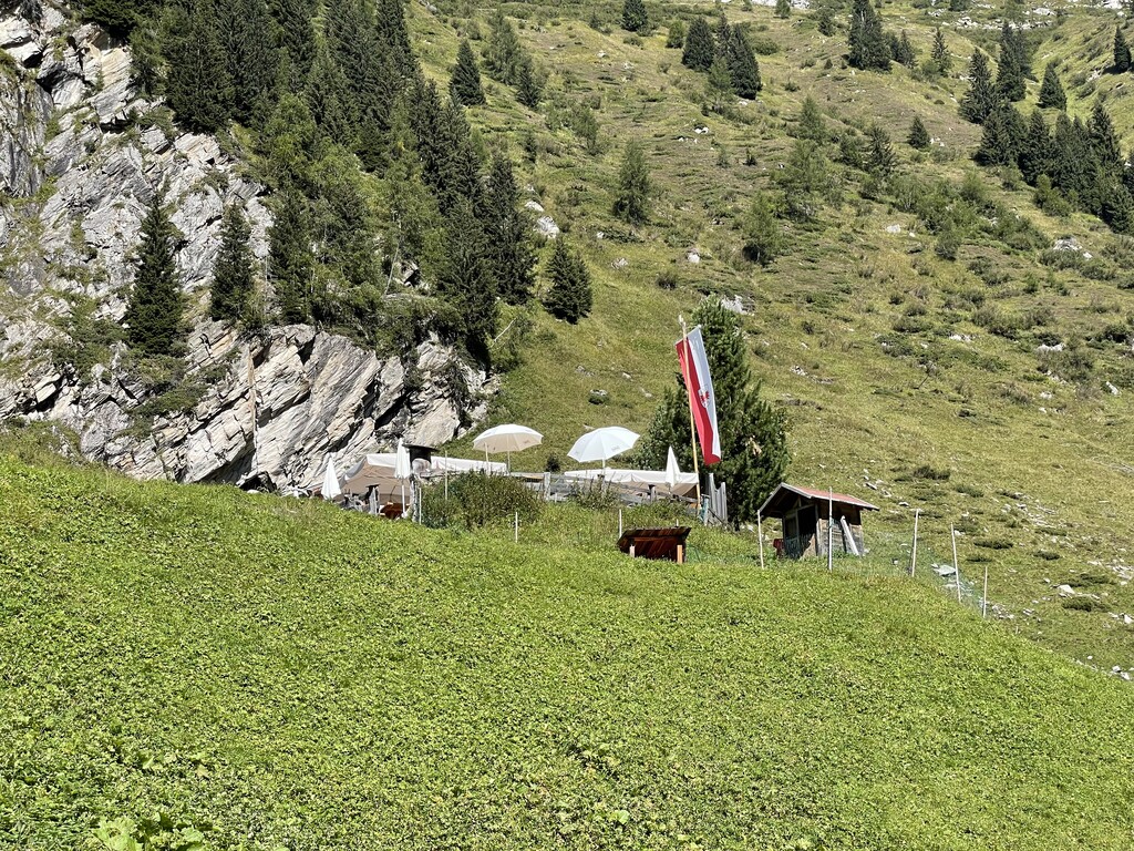
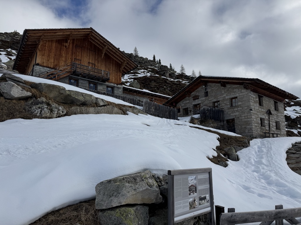
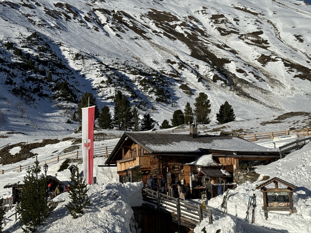
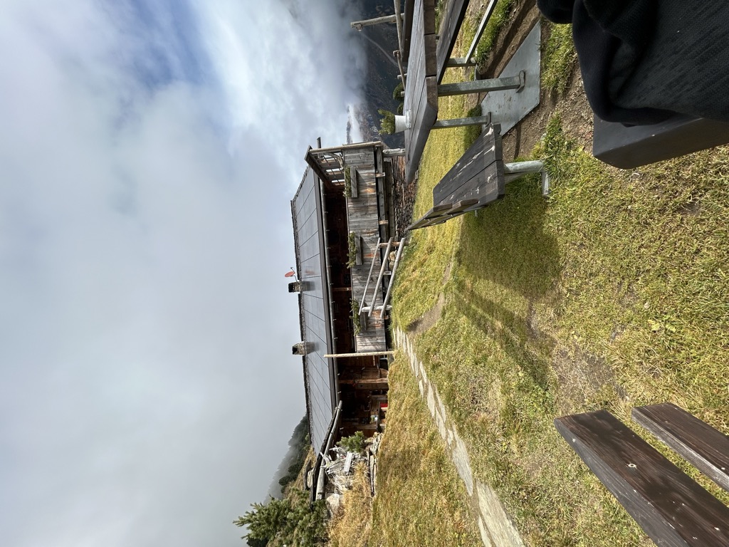
Adleralm malga
A dairy hut on the pastures above Predoi, at the head of the Valle Aurina in the Zillertal Alps.
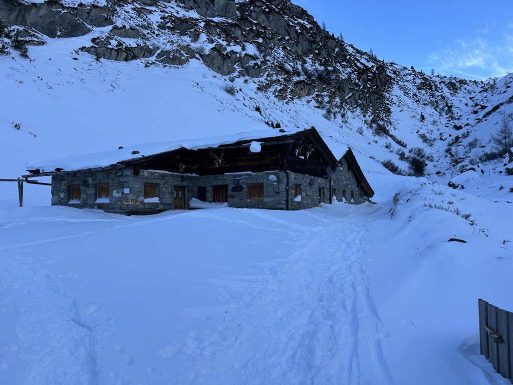
Jägerhütte malga
A small hunting-lodge hut on the high pastures above Predoi, at the head of the Valle Aurina.
Sterzing, Pfitsch und FreienfeldKehreralm malga
A dairy hut on the Kehrer pastures above Predoi, on the steep flank of the upper Valle Aurina.
Sterzing, Pfitsch und FreienfeldLahneralm malga
A dairy hut on the Lahner pastures above Predoi, in the side slopes at the head of the Valle Aurina.
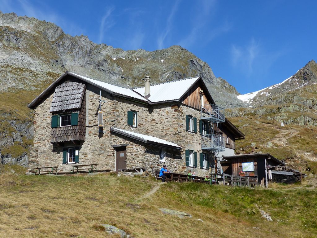
Sterzing, Pfitsch und FreienfeldRifugio Tridentina / Birnlückenhütte
A refuge below the Forcella del Picco at the head of the Valle Aurina, the last shelter on the Italian side of the crossing to the Krimmler Tauern.
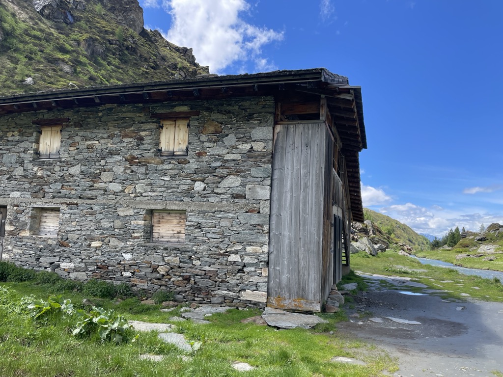
Tauernalm malga
A dairy hut on the Tauern pastures above Predoi, on the path that climbs the upper Valle Aurina toward the Forcella del Picco.
Sterzing, Pfitsch und FreienfeldMalga Knutten Alm
7.2 km away, in Campo Tures/Sand in Taufers
A dairy hut in the Valle dei Dossi above Riva di Tures, reached by the valley track, with the Vedrette di Ries beyond.
Malga Durra
8.5 km away, in Campo Tures/Sand in Taufers
A dairy hut on the pastures above Campo Tures, in the mountains of the Valle Aurina.
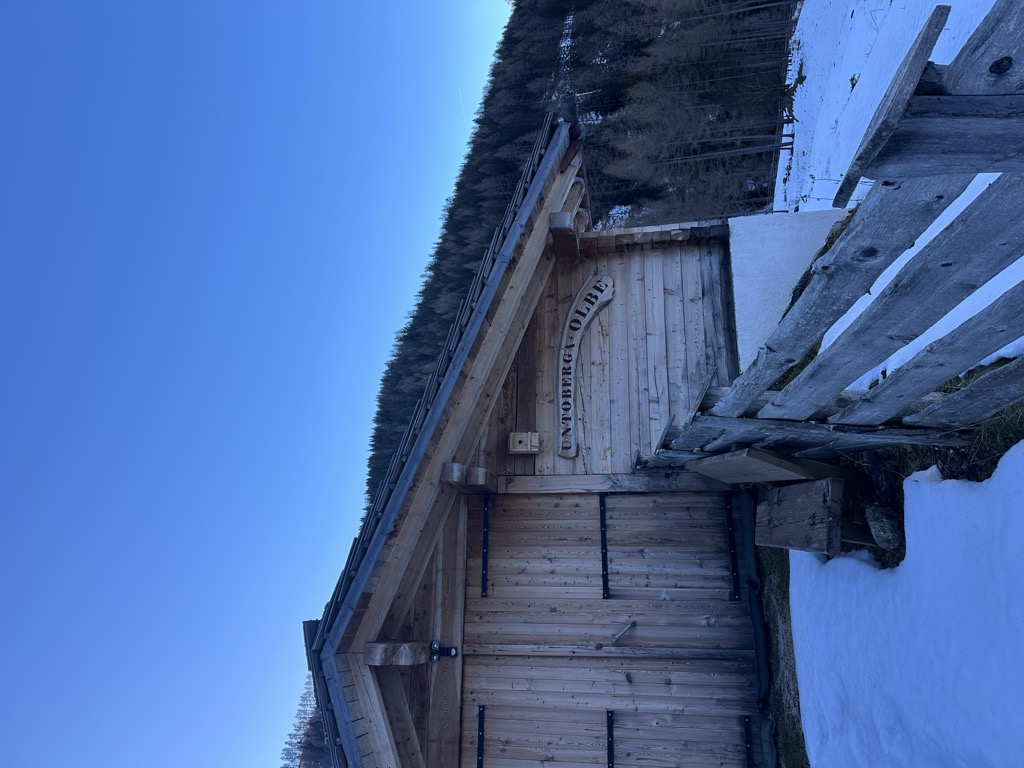
Unterberger Alm-Untoberga Olbe malga
12.1 km away, in Valle Aurina/Ahrntal
A dairy hut on the Unterberg pastures of the Valle Aurina, known by its Ladin-tinged local name as well as its German one.
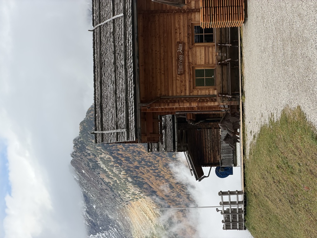
Sterzing, Pfitsch und FreienfeldMoaregg Alm
13.2 km away, in Valle Aurina/Ahrntal
A dairy hut on the Moaregg pastures of the Valle Aurina, on the terraces between the valley farms and the high Zillertal pastures.
Sterzing, Pfitsch und FreienfeldBaurschaftalm malga
13.5 km away, in Valle Aurina/Ahrntal
A dairy hut on the Baurschaft pastures of the Valle Aurina, on the slopes that rise from the Ahr valley floor into the Zillertal Alps.
Sterzing, Pfitsch und FreienfeldSpeck-& Schnapsalm malga
13.5 km away, in Valle Aurina/Ahrntal
A small alm in the Valle Aurina named for the speck and schnapps it serves, on the pasture slopes above the Ahr valley.
Sterzing, Pfitsch und FreienfeldHolzerböden malga
13.9 km away, in Valle Aurina/Ahrntal
A dairy hut on the Holzerboeden pastures of the Valle Aurina, reached by forest track from the valley floor.
Sterzing, Pfitsch und Freienfeld
Nothing of this kind in Predoi/Prettau.
Routes
Walk at the end of the valley Kasern/Casere
A wheelchair-accessible path from the nature park centre at Casere out to the pastures at Trinkstein, at the head of the Ahrntal.
- 2.8 km
- Distance
- 73 m
- Ascent
- 45 min
- Duration
- 136
- Check-ins
 Jagerhütte 1 677 m
- Talschlusshütte Heilig Geist 1 627 m
- Adler Alm 1 681 m
- Jausenstation Prastmann 1 628 m
Open route Tauferer AhrntalOn historic paths
A path towards the Krimmler Tauern, a crossing into Salzburg used for centuries by farmers, smugglers and soldiers, passing the old church of the Holy Spirit.
- 9.1 km
- Distance
- 478 m
- Ascent
- 3 h 26 min
- Duration
- 168
- Check-ins
- Jagerhütte 1 677 m
- Talschlusshütte Heilig Geist 1 627 m
- Adler Alm 1 681 m
- Jausenstation Prastmann 1 628 m
- Tauernalm 2 018 m
- Untere Tauernalm 1 809 m
- +1
Open route Tauferer AhrntalMountain tour to the Krimmler Tauern
A long border walk from Predoi up to the Krimmler Tauern, on the watershed towards Austria, facing the Zillertal Alps, the Rieserferner and the Venediger group.
- 22.1 km
- Distance
- 1 290 m
- Ascent
- 9 h
- Duration
- 277
- Check-ins
- Jagerhütte 1 677 m
- Talschlusshütte Heilig Geist 1 627 m
- Adler Alm 1 681 m
- Berghotel Kasern 1 600 m
- Jausenstation Prastmann 1 628 m
- Kehrer Alm 1 850 m
- +7
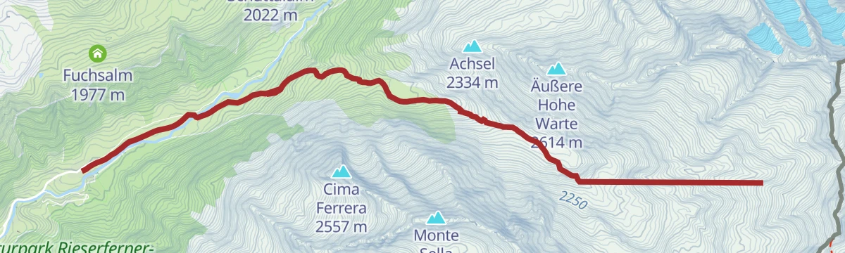
Open route Tauferer AhrntalSki tour Achsel 2,336 m
A straightforward ski tour at the head of the Ahrntal, climbing to the Achsel at 2,336 m in roughly two and a half hours.
- 4.1 km
- Distance
- 736 m
- Ascent
- 0 m
- Descent
- 2 h 4 min
- Duration
- 100
- Check-ins
 Achsel 2 334 m
- Talschlusshütte Heilig Geist 1 627 m
- Berghotel Kasern 1 600 m
- Jausenstation Prastmann 1 628 m
- Labesaualm 1 746 m
Open route Tauferer AhrntalSki tour Birnlücke/Forcella del Picco 2.667 m
A ski tour from Casere up to the Birnlücke, the border pass at 2,667 m at the very end of the Ahrntal, with a long steady climb.
- 8.1 km
- Distance
- 1 068 m
- Ascent
- 0 m
- Descent
- 3 h 16 min
- Duration
- 245
- Check-ins
- Bockegg 2 441 m
- Jagerhütte 1 677 m
- Talschlusshütte Heilig Geist 1 627 m
- Adler Alm 1 681 m
- Berghotel Kasern 1 600 m
- Jausenstation Prastmann 1 628 m
- +5
Open route Tauferer AhrntalMountainbike-Panoramatour Tauernalm hut
A forest-road climb above Prettau on the sunlit flank of the Ahrntal, reaching three huts just over 2,000 m: Schüttalalm, Starkl Alm and Tauernalm.
- 9.5 km
- Distance
- 654 m
- Ascent
- 1 h 16 min
- Duration
- 30
- Check-ins
Open route Tauferer AhrntalHealth path Prettau/Predoi
A gentle circuit at Predoi, the first health village in South Tyrol, laid out for slow walking and quiet among the woods and meadows at the head of the valley.
- 4.8 km
- Distance
- 212 m
- Ascent
- 1 h 34 min
- Duration
- 97
- Check-ins
- Talschlusshütte Heilig Geist 1 627 m
- Berghotel Kasern 1 600 m
- Jausenstation Prastmann 1 628 m
- Tannhaeuser Mountain Chalet 1 588 m
Open route Tauferer AhrntalHigh Altitude Path Prettau/Predoi
A traverse by Knappenegg and Bruggerpichl to the St Nikolaus copper mine adit, then up through forest and the Pichlwiesn meadow to the Stegeralm hut.
- 7.4 km
- Distance
- 423 m
- Ascent
- 3 h 18 min
- Duration
- 43
- Check-ins
- Berghotel Kasern 1 600 m
- Malga Steger 1 973 m
- Innerbichler Alm 1 942 m
- Tannhaeuser Mountain Chalet 1 588 m
Open route Tauferer AhrntalMountain tour to the Birnlücke
A walk up the Ahr to the Birnlücke, the saddle on the divide between the Zillertal Alps and the Venediger group, under the bulk of the Dreiherrenspitze.
- 18.0 km
- Distance
- 1 079 m
- Ascent
- 7 h 29 min
- Duration
- 241
- Check-ins
- Jagerhütte 1 677 m
- Talschlusshütte Heilig Geist 1 627 m
- Adler Alm 1 681 m
- Berghotel Kasern 1 600 m
- Jausenstation Prastmann 1 628 m
- Kehrer Alm 1 850 m
- +4
Open route Tauferer AhrntalSki tour Schüttalkopf 2,774 m
A sunny ski tour on the south-east slopes of the main Alpine chain, taking about four hours to reach the Schüttalkopf at 2,774 m.
- 5.9 km
- Distance
- 1 173 m
- Ascent
- 0 m
- Descent
- 3 h 13 min
- Duration
- 179
- Check-ins
- Schüttalkopf - Punta Val di Frane 2 773 m
- Jagerhütte 1 677 m
- Talschlusshütte Heilig Geist 1 627 m
- Adler Alm 1 681 m
- Berghotel Kasern 1 600 m
- Jausenstation Prastmann 1 628 m
- +1
Open route Tauferer AhrntalMountainbike-Panoramatour Waldneralm hut
A steep forest-road ascent from the Ahrntal valley floor at Prettau to the Waldneralm at 2,068 m, some 600 m of climbing in under 6 km.
- 6.0 km
- Distance
- 605 m
- Ascent
- 59 min
- Duration
- 8
- Check-ins
Open route Tauferer AhrntalPath of the Cross - Holy Spirit Chapel
A level walk between Casere and Heilig Geist past fifteen roofed wooden stations, carved in the 1980s by Ahrntal youth groups and pupils of the St Jakob carving school.
- 2.5 km
- Distance
- 20 m
- Ascent
- 38 min
- Duration
- 95
- Check-ins
Open route Tauferer AhrntalEscursione sul lato soleggiato a Predoi/Casere
A sunny-side route from Casere to the Starkl Alm and down to Predoi, far lower than the Lausitz path, with the Rauchkofel recognisable during the climb.
- 7.1 km
- Distance
- 475 m
- Ascent
- 3 h 26 min
- Duration
- 37
- Check-ins
Open route Sterzing, Pfitsch und FreienfeldHigh Altitude Trail Lausitz
One of the oldest high routes through the upper Ahrntal, running from the Birnlücke pass to the Hundskehljoch; it asks for a head for heights and proper kit.
- 26.9 km
- Distance
- 1 598 m
- Ascent
- 11 h 7 min
- Duration
- 237
- Check-ins
- Jagerhütte 1 677 m
- Talschlusshütte Heilig Geist 1 627 m
- Adler Alm 1 681 m
- Berghotel Kasern 1 600 m
- Jausenstation Prastmann 1 628 m
- Kehrer Alm 1 850 m
- +4
Open route Tauferer AhrntalSki tour Großer Tauernkopf/Testa dei Tauri 2,874 m
A ski tour from Casere on the sunny side of the Zillertal Alps to the Grosser Tauernkopf at 2,874 m, roughly five hours of climbing.
- 6.4 km
- Distance
- 1 281 m
- Ascent
- 11 m
- Descent
- 3 h 31 min
- Duration
- 173
- Check-ins
- Großer Tauernkopf 2 872 m
- Jagerhütte 1 677 m
- Talschlusshütte Heilig Geist 1 627 m
- Adler Alm 1 681 m
- Berghotel Kasern 1 600 m
- Jausenstation Prastmann 1 628 m
- +1
Open route Tauferer AhrntalHiking tour to the waterfall Rötbach
A short climb to the Rötbach waterfall above Casere, cool and loud, with light playing in the spray when the sun is on it.
- 1.2 km
- Distance
- 125 m
- Ascent
- 33 min
- Duration
- 30
- Check-ins
Open route Tauferer AhrntalThe miner's path into the Röttal
The Knappensteig past the mouths of old mine galleries and up above the tree line into the Röttal, where moraines and scattered alpine huts mark the high valley.
- 9.4 km
- Distance
- 839 m
- Ascent
- 5 h 17 min
- Duration
- 5
- Check-ins
Open route Tauferer AhrntalKlockerkarkopf and Schafsee
A trackless, unmarked traverse from Vetta d'Italia to the Schafsee and on to the Krimmler Tauern, through empty high ground.
- 20.6 km
- Distance
- 1 472 m
- Ascent
- 9 h 44 min
- Duration
- 230
- Check-ins
- Vetta d'Italia 2 912 m
- Jagerhütte 1 677 m
- Talschlusshütte Heilig Geist 1 627 m
- Adler Alm 1 681 m
- Jausenstation Prastmann 1 628 m
- Kehrer Alm 1 850 m
- +6
Open route AVS Sektion AhrntalSki tour Ahrner Kopf/Cima del Vento 3,050 m
A ski tour from Casere onto north-west slopes to the Ahrner Kopf at 3,050 m, about five hours up, on a line where avalanche danger is often present.
- 7.6 km
- Distance
- 1 448 m
- Ascent
- 0 m
- Descent
- 4 h 2 min
- Duration
- 105
- Check-ins
- Ahrner Kopf - Cima del Vento 3 051 m
- Talschlusshütte Heilig Geist 1 627 m
- Berghotel Kasern 1 600 m
- Jausenstation Prastmann 1 628 m
- Labesaualm 1 746 m
Open route Tauferer AhrntalMiner's Path Prettau/Predoi
An interpretive climb from the St Ignaz gallery up to Rotkreuz, past adits and ruined workings, among them the Saint George tunnel driven soon after 1528.
- 4.4 km
- Distance
- 555 m
- Ascent
- 3 h 16 min
- Duration
Open route Tauferer AhrntalMountain tour to Schientalkopf (Schüttalkopf)
A long climb to the Schüttalkopf on the frontier crest, with the Ahrntal on one side and the Austrian valleys on the other.
- 16.4 km
- Distance
- 1 159 m
- Ascent
- 7 h 41 min
- Duration
- 178
- Check-ins
- Schüttalkopf - Punta Val di Frane 2 773 m
- Jagerhütte 1 677 m
- Talschlusshütte Heilig Geist 1 627 m
- Adler Alm 1 681 m
- Jausenstation Prastmann 1 628 m
- Tauernalm 2 018 m
- +2
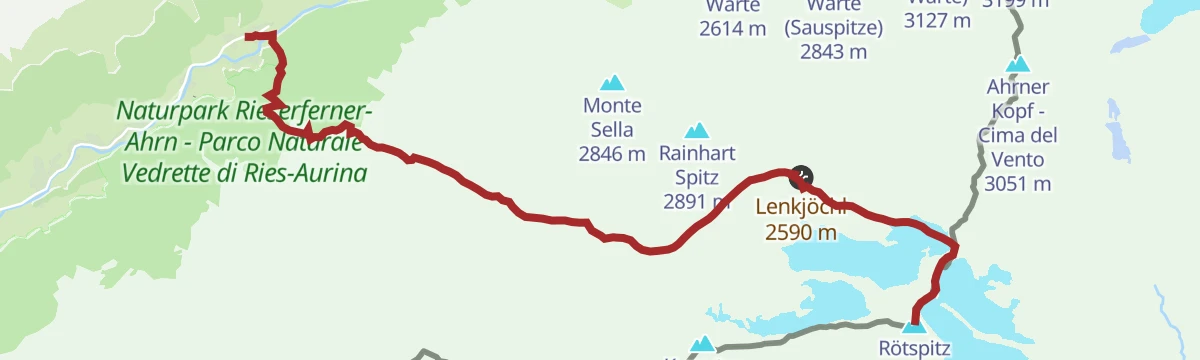
Open route Tauferer AhrntalSki tour al Rifugio Giogo Lungo 2.590 m
A ski tour through the Valle Rossa to the Giogo Lungo refuge at 2,590 m, closed over the winter, with about three and a half hours of climbing.
- 6.2 km
- Distance
- 1 001 m
- Ascent
- 12 m
- Descent
- 2 h 54 min
- Duration
- 78
- Check-ins
- Berghotel Kasern 1 600 m
- Lenkjöchlhütte - Rifugio Giogo Lungo 2 603 m
 Lenkjöchl 2 590 m
- Röt Alm 2 117 m
Open route Sterzing, Pfitsch und FreienfeldDreiherrenspitze
A long climb by the Holy Spirit church and the Windtal to the Lenkjöchlhütte, then over the rear Umbaltorl and up the ridge to the Dreiherrnspitze.
- 26.0 km
- Distance
- 2 082 m
- Ascent
- 13 h 26 min
- Duration
- 154
- Check-ins
- Dreiherrnspitze 3 499 m
- Talschlusshütte Heilig Geist 1 627 m
- Berghotel Kasern 1 600 m
- Jausenstation Prastmann 1 628 m
- Lenkjöchlhütte - Rifugio Giogo Lungo 2 603 m
- Lenkjöchl 2 590 m
- +3
Open route AVS Sektion Sand in TaufersSki tour Rauchkofel/Monte Fumo - Prettau/Predoi 3,251 m
A ski tour on the south-west slopes above Predoi to the Rauchkofel at 3,251 m, some six hours of climbing on ground prone to avalanche.
- 6.7 km
- Distance
- 1 543 m
- Ascent
- 10 m
- Descent
- 4 h 7 min
- Duration
- 30
- Check-ins
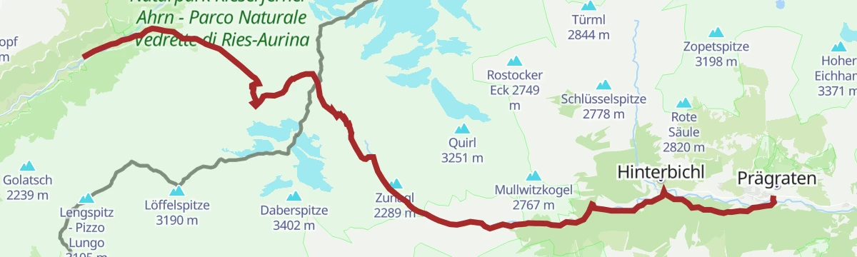
Open route Tauferer AhrntalHoch Tirol Trail
The South Tyrolean leg of the Hoch-Tirol route, from Predoi at the head of the Ahrntal across the Rieserferner-Ahrn nature park towards Pragraten.
- 28.0 km
- Distance
- 1 551 m
- Ascent
- 11 h 36 min
- Duration
- 129
- Check-ins
- Talschlusshütte Heilig Geist 1 627 m
- Jausenstation Prastmann 1 628 m
- Lenkjöchlhütte - Rifugio Giogo Lungo 2 603 m
- Lenkjöchl 2 590 m
- Pebellalm 1 509 m
- Islitzeralm 1 513 m
- +5
Open route Tauferer AhrntalSki tour Merbjoch/Passo Merbe 2,829 m
A ski tour on north-facing slopes above Predoi to the Merbjoch at 2,829 m, roughly four and a half hours up.
- 4.5 km
- Distance
- 1 369 m
- Ascent
- 0 m
- Descent
- 3 h 29 min
- Duration
- 6
- Check-ins
Open route Tauferer AhrntalMountain tour to Ahrner Kopf
A summit walk to the Ahrner Kopf above the head of the Ahrntal, looking across at the glaciers of the Grossvenediger.
- 20.1 km
- Distance
- 1 516 m
- Ascent
- 9 h 55 min
- Duration
- 111
- Check-ins
- Ahrner Kopf - Cima del Vento 3 051 m
- Talschlusshütte Heilig Geist 1 627 m
- Jausenstation Prastmann 1 628 m
- Lenkjöchlhütte - Rifugio Giogo Lungo 2 603 m
- Lenkjöchl 2 590 m
- Labesaualm 1 746 m
Open route Tauferer AhrntalMountain tour to the Rötspitze
A steep climb to the Rötspitze at the head of the Ahrntal, with one of the broadest outlooks onto the Venediger group.
- 9.7 km
- Distance
- 1 932 m
- Ascent
- 7 h 13 min
- Duration
- 78
- Check-ins
- Rötspitz 3 496 m
- Untere Rötspitze 3 290 m
- Berghotel Kasern 1 600 m
- Lenkjöchlhütte - Rifugio Giogo Lungo 2 603 m
- Lenkjöchl 2 590 m
- Röt Alm 2 117 m
Open route Tauferer AhrntalEscursione ad anello lago Waldner
A circular high route from Casere over the Hochwieser pastures and past the streams of the protected Wieser Werfa biotope to the Waldner lake.
- 12.5 km
- Distance
- 968 m
- Ascent
- 6 h 18 min
- Duration
- 45
- Check-ins
Open route Sterzing, Pfitsch und FreienfeldHiking tour round trip lake Waldnersee
A high circuit from the bus stop at Casere by the Hochwieser Alm and the protected Wieser Werfa biotope to the Waldnersee and back.
- 12.4 km
- Distance
- 1 002 m
- Ascent
- 6 h 27 min
- Duration
- 45
- Check-ins
Open route Tauferer AhrntalFuldaer Way with Weiße Wand
A crossing from the Reintal to the Ahrntal over the Bretterscharte and the pale dolomite of the Weisse Wand at 2,517 m, through stone pine wood and alpine meadow.
- 18.8 km
- Distance
- 1 184 m
- Ascent
- 8 h 34 min
- Duration
- 25
- Check-ins
Open route AVS Sektion Sand in TaufersMountain tour to the Rauchkofel in Prettau/Predoi
A three-thousand-metre peak above Predoi reached without setting foot on a glacier, with a wide outlook from the top.
- 15.5 km
- Distance
- 1 772 m
- Ascent
- 10 h 38 min
- Duration
- 10
- Check-ins
Open route Tauferer AhrntalHiking tour to lake Waldner
A long walk up to the Waldnersee, the well-known mountain lake in the high ground above Predoi at the head of the Ahrntal.
- 15.5 km
- Distance
- 901 m
- Ascent
- 6 h 18 min
- Duration
- 8
- Check-ins
Open route Tauferer AhrntalSchneespitz
A climb on the Fuldaerweg out of the Ahrntal into the Hasental, up the west ridge of the Schneespitz, and back by the north-east ridge and the Brunna pasture valley.
- 19.6 km
- Distance
- 1 696 m
- Ascent
- 10 h 44 min
- Duration
- 1
- Check-ins
Open route AVS Sektion AhrntalMountain tour to the Hundskehljoch
A climb on the old boundary paths above Prettau to the Hundskehljoch at 2,557 metres, on the crest of the Zillertal Alps.
- 6.4 km
- Distance
- 1 188 m
- Ascent
- 4 h 27 min
- Duration
Open route Tauferer Ahrntal
No routes of this kind in Predoi/Prettau yet.
The region's own picks

Featured route
Walk at the end of the valley Kasern/Casere
A wheelchair-accessible path from the nature park centre at Casere out to the pastures at Trinkstein, at the head of the Ahrntal.
Planning a trip to Predoi/Prettau?
Everything else Trentino-Alto Adige/Südtirol has, in one place


Take Predoi/Prettau with you into the mountains
Every route on this page with 3D terrain, GPX navigation and offline maps — including the valleys with no signal.
Data sources
- Official website: ahrntal.com ↗
- Routes and highlights: Tauferer Ahrntal, Sterzing, Pfitsch und Freienfeld, AVS Sektion Ahrntal, AVS Sektion Sand in Taufers, YesAlps
- Published as open data by the tourist boards named above.
- Region summary generated from the board's own material.
