











Curated by APT Fiemme Cembra
Predazzo
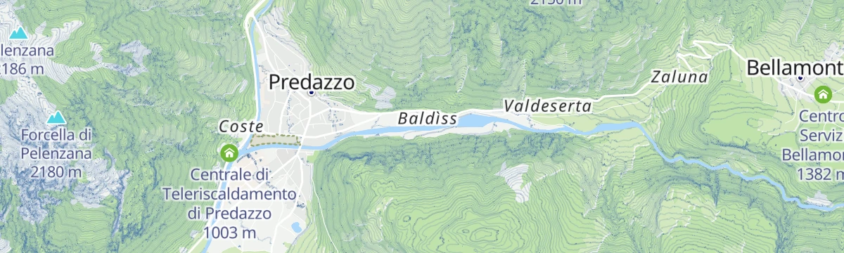
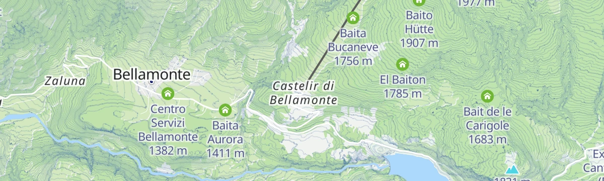
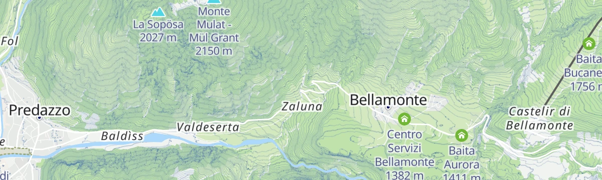
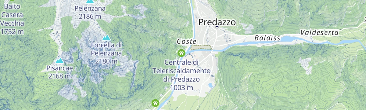
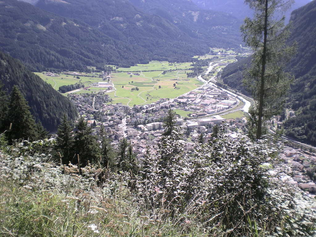
A Val di Fiemme town where the Travignolo joins the Avisio, its geological museum recording the Dolomites' volcanic rocks.
Photo: btristan · CC BY-SA 2.0 licence
- 2Highlights
- 75Routes
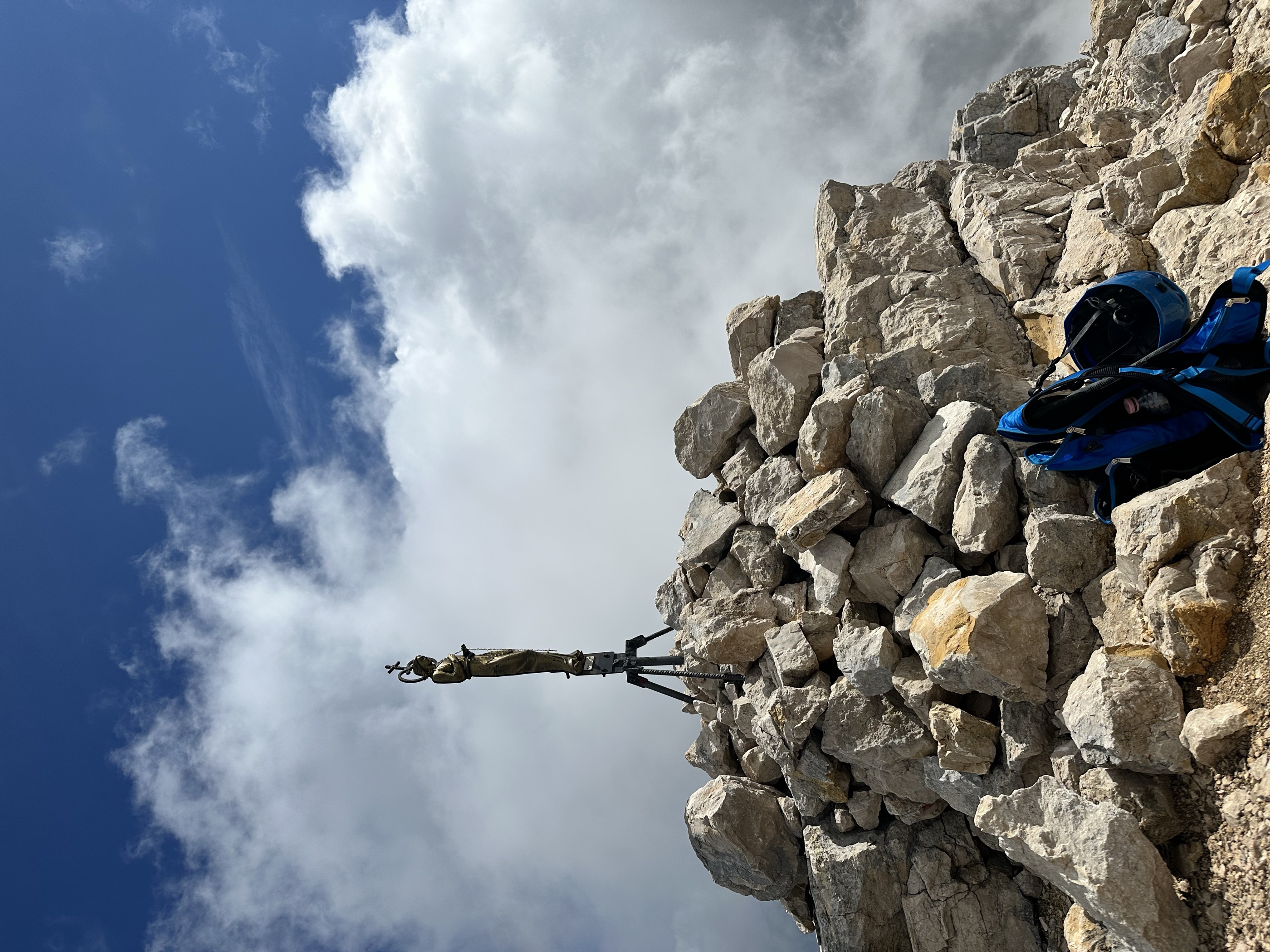
- Featured summit · Cimon del Latemar
Highlights
8 from neighbouring places
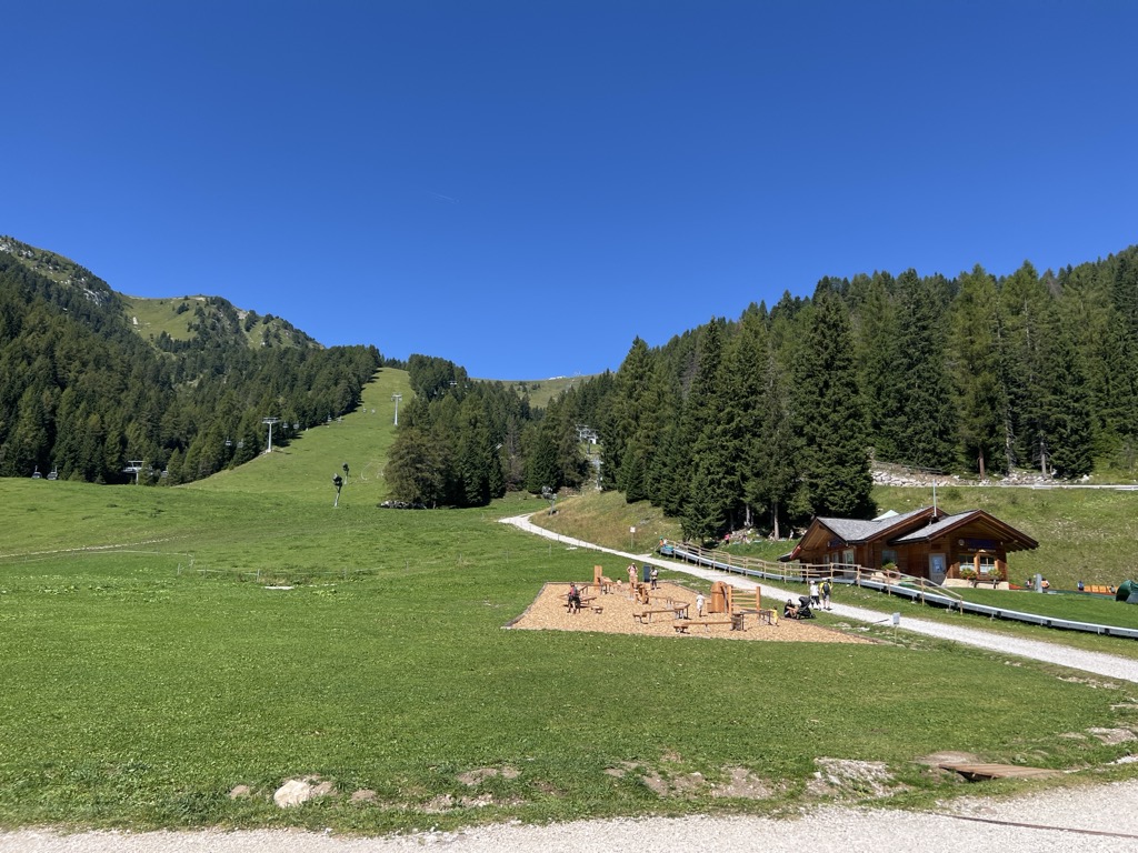
Baita Gardoné – The Mountain Riviera
A baita on the Gardonè shelf above Predazzo, at the foot of the Latemar and reached by the cable car from the valley.
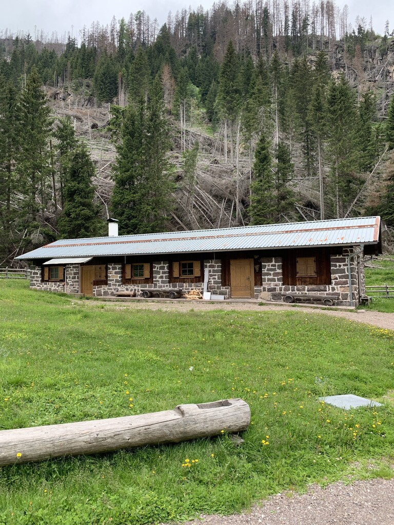
Malga Valmaggiore
A dairy hut at the head of the Val Travignolo above Predazzo, a base for the walks and climbs on the Lagorai side.
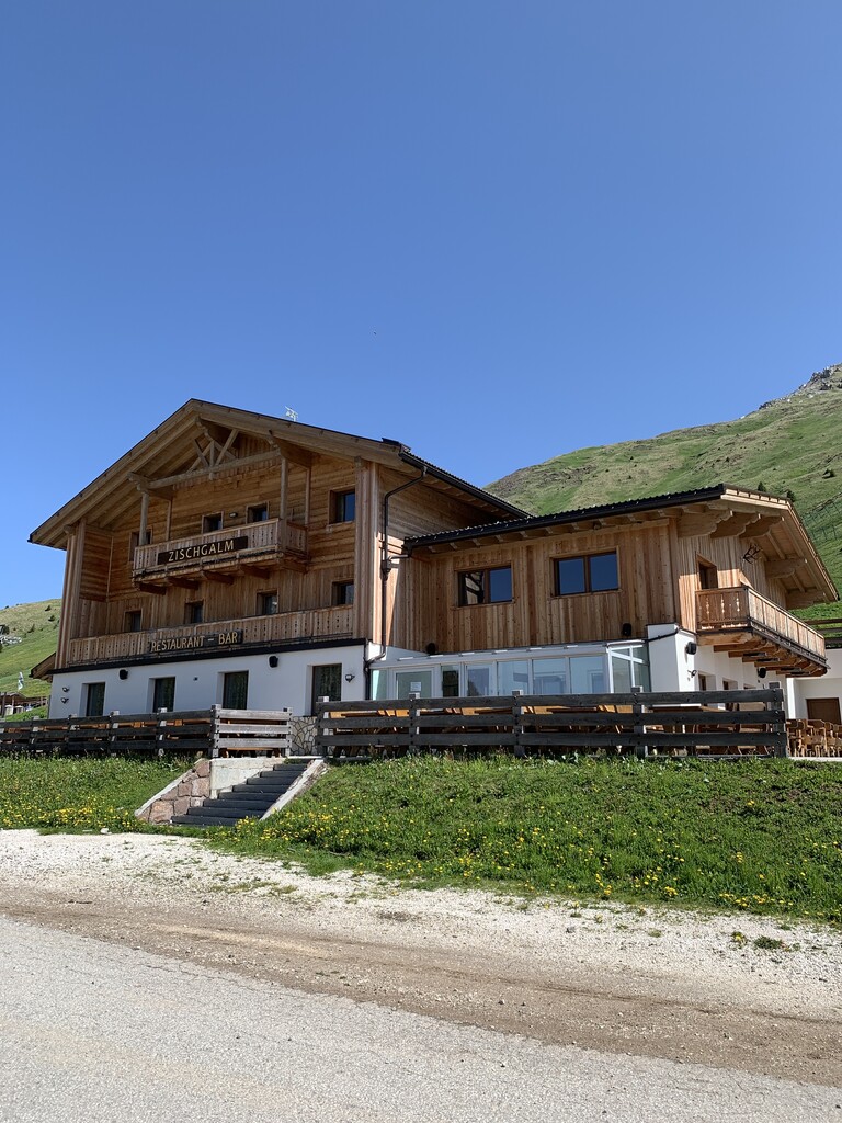
Malga Zischgalm
7.9 km away, in Nova Ponente/Deutschnofen
A pasture hut above Nova Ponente, reached on foot from the Obereggen side of the Val d'Ega.
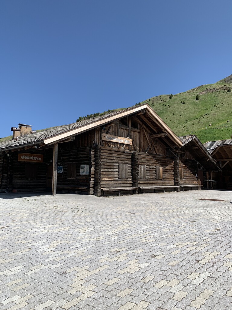
Malga Ganischger – The Mountain Party
8.1 km away, in Nova Ponente/Deutschnofen
A dairy hut on the pastures above Nova Ponente, near Obereggen at the foot of the Latemar.
Rifugio Oberholz
9.5 km away, in Nova Ponente/Deutschnofen
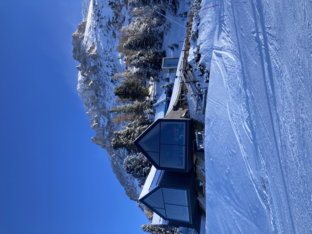
A timber-and-glass mountain hut above Obereggen, at the top of the chairlift below the Latemar, in the comune of Nova Ponente.
Rifugio Paolina
10.7 km away, in San Giovanni di Fassa-Sèn Jan
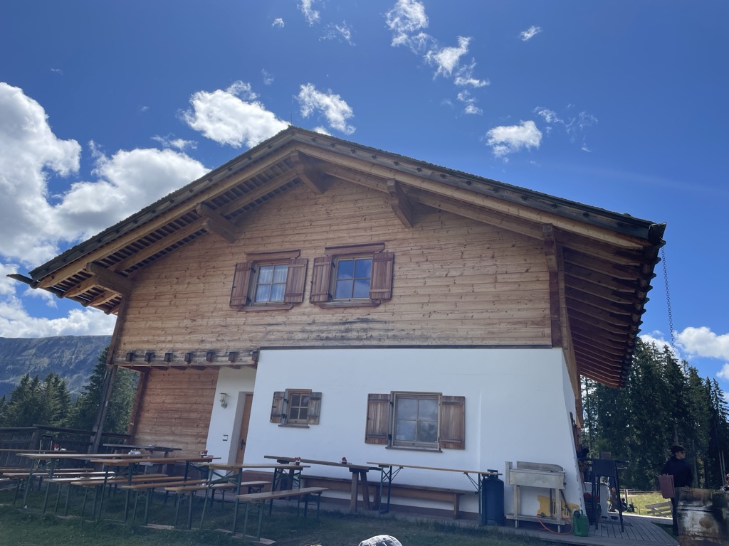
A hut at 2,125 m in the Carezza area below the Roda di Vael, with a wide terrace and a stage of the Dolomites World Heritage Geotrail passing by.
Baita M. Pederiva
11 km away, in San Giovanni di Fassa-Sèn Jan
A small hut at 2,280 m in the heart of the Catinaccio, run by the Pederiva family for generations and a base for walks and climbs of every grade.
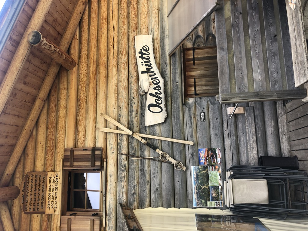
Sterzing, Pfitsch und FreienfeldMalga Ochsenhütte
13.1 km away, in Nova Levante/Welschnofen
A pasture hut in the woods above Nova Levante, in the Val d'Ega.
Sterzing, Pfitsch und FreienfeldMalga Costa
13.9 km away, in Nova Ponente/Deutschnofen
A dairy hut on the Costa pastures above Nova Ponente, in the Val d'Ega below the Latemar.
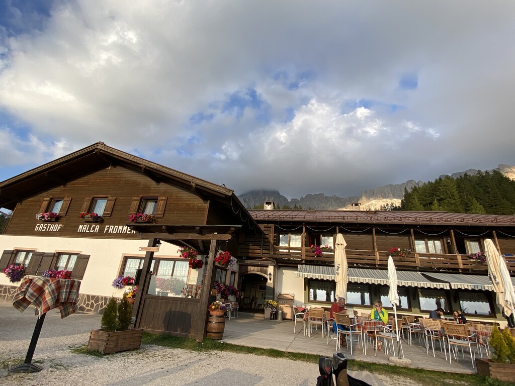
Sterzing, Pfitsch und FreienfeldAlbergo Malga Frommer
14.2 km away, in Nova Levante/Welschnofen
A dairy hut with rooms on the Frommer pastures above Nova Levante, in the Val d'Ega between the Catinaccio and the Latemar.
Nothing of this kind in Predazzo.
Routes
50 routes, an even mix of activities · see the rest on visitfiemme.it ↗
Via Ferrata Campanili
A long day among the Latemar towers, deep in the group, with Lake Carezza and the Catinaccio framed between the rock spires; endurance is needed.
- 15.2 km
- Distance
- 1 253 m
- Ascent
- 10 h 13 min
- Duration
- 253
- Check-ins
 Cima Valbona 2 683 m
 Baita Passo Feudo Hütte 2 170 m
- Rifugio Torre di Pisa 2 671 m
- Baita della Scofa 2 006 m
 Forcella Grande del Latenar - Große Latemarscharte 2 650 m
- Bivacco Mario Rigatti 2 620 m
- +2
Open route APT Fiemme CembraVia ferrata Campanili del Latemar
A long alpine day with a ferrata among the Latemar towers, crossing the rocky heart of the group with the surrounding Dolomite ranges in view.
- 15.1 km
- Distance
- 1 114 m
- Ascent
- 9 h 24 min
- Duration
- 226
- Check-ins
- Cima Valbona 2 683 m
- Cimon del Latemar 2 842 m
- Oberholz Hütte 2 074 m
- Rifugio Torre di Pisa 2 671 m
- Gamsstallscharte - Forcella dei Camosci 2 632 m
- Forcella Grande del Latenar - Große Latemarscharte 2 650 m
- +3
Open route Sterzing, Pfitsch und FreienfeldGeotrail Dos Capèl – Dolomites, what a discovery!
A themed walk with 19 stations to see, touch and hear, on the botany and geology of the Latemar; an easy-to-read guide covers the route.
- 5.4 km
- Distance
- 228 m
- Ascent
- 1 h 51 min
- Duration
- 124
- Check-ins
- Dos Capèl 2 265 m
- Baita Passo Feudo Hütte 2 170 m
- In.Treska 2 204 m
- Passo Feudo - Satteljoch 2 118 m
 Bacino Artificiale Buse de Tresca 2 197 m
Open route APT Fiemme CembraTorre di Pisa mountain hut
A climb into the Latemar, a fossil atoll off a tropical sea where ammonites and shells sit in the rock, to the hut below the Torre di Pisa.
- 9.0 km
- Distance
- 828 m
- Ascent
- 5 h 11 min
- Duration
- 210
- Check-ins
- Cima Valbona 2 683 m
- Baita Passo Feudo Hütte 2 170 m
- Rifugio Torre di Pisa 2 671 m
- Gamsstallscharte - Forcella dei Camosci 2 632 m
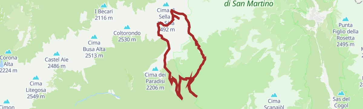
Open route APT Fiemme CembraSentiero della Pace 32: Paneveggio to Rifugio Passo alle Selle
From the Paneveggio forest, long known to violin makers for its tonewood, by Malga Bocche and the Bocche lake towards the Passo alle Selle hut.
- 18.8 km
- Distance
- 1 706 m
- Ascent
- 8 h 47 min
- Duration
- 296
- Check-ins
- Rifugio Passo delle Selle 2 530 m
- Malga Bocche 1 939 m
- Baita Paradiso 2 159 m
- Passo delle Selle 2 530 m
- Passo San Pellegrino 1 918 m
- Passo Juribrutto - Sforcèla Grana 2 387 m
- +8
Open route APT Fiemme CembraRun 1: Tour of the Predazzo "countryside"
A loop through the fields around Predazzo from the sports ground, easy going on the way out and a steady gentle rise back.
- 6.3 km
- Distance
- 32 m
- Ascent
- 36 min
- Duration
- 1
- Check-ins
Open route APT Fiemme CembraRun 3: Predazzo - Panchià
A running route down the valley to Panchià, with a stiff climb of about half a kilometre past the wooden bridge and a mixed surface back.
- 12.8 km
- Distance
- 135 m
- Ascent
- 1 h 16 min
- Duration
- 33
- Check-ins
- Bistrot & Shop - Caseificio Sociale Predazzo e Moena 987 m
- CRM 1 001 m
- Capanna 939 m
- Agritur Maso Valaverta 1 005 m
Open route APT Fiemme CembraRun 4: Predazzo - Cross Country Stadium.
A there-and-back running route from Predazzo to the cross-country stadium, gently downhill on the way out and steadily rising on the return.
- 17.4 km
- Distance
- 140 m
- Ascent
- 1 h 40 min
- Duration
- 29
- Check-ins
Open route APT Fiemme CembraEasy Bike Ring – red
A short valley cycle loop from Predazzo along the Avisio to Ziano di Fiemme, returning past the dairy and the new bio-lake.
- 10.2 km
- Distance
- 78 m
- Ascent
- 59 min
- Duration
- 17
- Check-ins
Open route APT Fiemme CembraSellaronda
The four-pass Dolomite circuit ridden from Predazzo, over Passo Pordoi, the Sella Pass and the Gardena Pass around the Sella massif.
- 116.2 km
- Distance
- 2 555 m
- Ascent
- 12 h 43 min
- Duration
- 2454
- Check-ins
- Val Dantermont 1 728 m
- Jouf de Pordoi - Passo Pordoi - Pordoijoch 2 239 m
- Gardena Pass 2 121 m
- Bar Funivia 2 240 m
- L'Angolino del Sella 2 179 m
- In Sella 2 182 m
- +44
Open route APT Fiemme CembraThe Absent-Minded Shepherd
A short themed walk above Predazzo past wooden works made by local craftsmen from materials found on the spot.
- 1.9 km
- Distance
- 88 m
- Ascent
- 40 min
- Duration
- 25
- Check-ins
Open route APT Fiemme CembraValsorda Tour
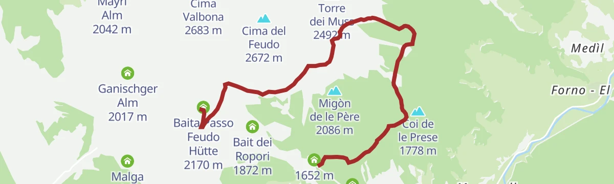
A demanding round in the Latemar, up the Torre di Pisa path and across the plateau, then down the wild Valsorda to Forno di Moena and back by the cycle path.
- 14.7 km
- Distance
- 510 m
- Ascent
- 6 h 21 min
- Duration
- 201
- Check-ins
- Cima Valbona 2 683 m
- Baita Passo Feudo Hütte 2 170 m
- Rifugio Torre di Pisa 2 671 m
- Biotrota Dolomiti 1 056 m
- Bivacco Latemar Attilio Sieff 2 306 m
- Malga Valsorda 1 684 m
- +1
Open route APT Fiemme CembraTranslagorai - Stage 4
A stage of the Translagorai, high on the porphyry ridges of the Lagorai above Predazzo.
- 15.0 km
- Distance
- 992 m
- Ascent
- 7 h 13 min
- Duration
- 232
- Check-ins
- Rifugio Laghi di Colbricon 1 927 m
- Malga Rolle 1 905 m
- Laghi di Colbricon 1 925 m
- Passo Colbricon 1 908 m
- Bivacco Paolo e Nicola 2 179 m
- Forcella di Valmaggiore - Sèla de Valmaòr 2 180 m
- +5
Open route APT Fiemme CembraTo Forte Dossaccio
A steady bike climb over Col de Cheta to a First World War fort, through open pastures facing the Lagorai chain and into the Paneveggio park woods.
- 8.1 km
- Distance
- 333 m
- Ascent
- 1 h 2 min
- Duration
- 1
- Check-ins
Open route APT Fiemme CembraPozza di Fassa - Tesero - Pampeago Pass - Ponte Nova - Costalunga/Carezza Pass - Pozza di Fassa
A road loop south to Tesero, then the hard climb to Pampeago and back over the Passo di Costalunga by the Karer See.
- 72.7 km
- Distance
- 2 083 m
- Ascent
- 8 h 25 min
- Duration
- 857
- Check-ins
- Karer See - Lago di Carezza 1 533 m
- Passo di Costalunga - Karerpass 1 745 m
- Bar & Imbiss Kareesee 1 559 m
- Antermont 1 759 m
- Baita della Scofa 2 006 m
- Zischgalm 2 010 m
- +31
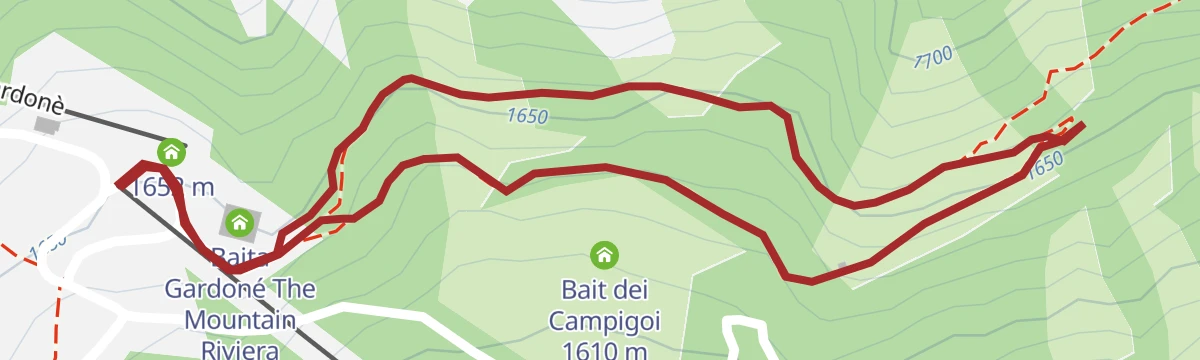
Open route APT Val di FassaGardonè - Vardabe
An easy walk on the Latemar slopes to Vardabe, a quiet pocket of meadow dotted with old alpine huts.
- 3.8 km
- Distance
- 228 m
- Ascent
- 1 h 35 min
- Duration
- 17
- Check-ins
Open route APT Fiemme CembraTour of Lusia Lakes
A high route past caves, trenches and old barracks of the First World War, looking down on the Lusia lakes in a former volcanic crater; eagles pass overhead.
- 13.1 km
- Distance
- 548 m
- Ascent
- 4 h 26 min
- Duration
- 171
- Check-ins
- Malga Bocche 1 939 m
- Rifugio Passo Lusia 2 055 m
- Chalet 44 Alpine Lounge 1 966 m
- Lago di Lusia (inferiore) 2 332 m
- Luxury Ski Lusia 1 953 m
- La Trincea 2 425 m
- +7
Open route APT Fiemme CembraCima Bocche
A climb into high country full of trenches, gun positions and fortifications, with the Lagorai chain and the Dolomite groups from Latemar to the Pale in view.
- 16.7 km
- Distance
- 957 m
- Ascent
- 6 h 43 min
- Duration
- 187
- Check-ins
- Cima Bocche - Cimon de Boce 2 745 m
- Passo Lusia - Sansòm 2 055 m
- Rifugio Passo Lusia 2 055 m
- Chalet 44 Alpine Lounge 1 966 m
- Lago di Lusia (inferiore) 2 332 m
- Luxury Ski Lusia 1 953 m
- +12
Open route APT Fiemme CembraMarmolada Tour
A long road circuit from Predazzo over Passo San Pellegrino and up Passo Fedaia, whose final ramps run into double-digit gradients.
- 105.6 km
- Distance
- 2 679 m
- Ascent
- 11 h 54 min
- Duration
- 780
- Check-ins
- Rifugio Marmolada Castiglioni 2 055 m
- Passo Fedaia 2 057 m
- Rifugio Fedaia 2 057 m
- Passo San Pellegrino 1 918 m
- Chalet Isabella 1 914 m
- Azienda Turistica 1 307 m
- +27
Open route APT Fiemme CembraThe Dragon Forest
A short land-art walk with works in wood, stone and forest material by Marco Nones, among them a dragon's egg held in upturned larch roots.
- 1.7 km
- Distance
- 45 m
- Ascent
- 30 min
- Duration
- 17
- Check-ins
Open route APT Fiemme CembraPasso Lusia
A climb to the Lusia pass and its hut, facing the Dolomites of Fassa, the Pale di San Martino and the Lagorai.
- 9.3 km
- Distance
- 509 m
- Ascent
- 3 h 37 min
- Duration
- 131
- Check-ins
- Passo Lusia - Sansòm 2 055 m
- Rifugio Passo Lusia 2 055 m
- Chalet 44 Alpine Lounge 1 966 m
- Luxury Ski Lusia 1 953 m
- Baita Bucaneve 1 756 m
- Baita La Morea 3.0 1 897 m
- +5
Open route APT Fiemme CembraThe mountain huts of Alpe Lusia in the Paneveggio Natural Park - Tour 932
An easy round made short by the lifts, on dirt road through high pasture past huts and barns, returning through the forest of the Paneveggio park.
- 18.4 km
- Distance
- 392 m
- Ascent
- 5 h 40 min
- Duration
- 112
- Check-ins
- Malga Bocche 1 939 m
- Chalet 44 Alpine Lounge 1 966 m
- Luxury Ski Lusia 1 953 m
- Malga Canvere 1 977 m
- El Zirmo 1 557 m
- Deposito sci 1 553 m
- +5
Open route APT Fiemme CembraPaneveggio loop - Route n°5 - Falcade Bike Trail
A lift-assisted loop from Molino to the Rifugio Laresei, down to the Passo Valles and round by Paneveggio.
- 47.3 km
- Distance
- 1 125 m
- Ascent
- 5 h 37 min
- Duration
- 619
- Check-ins
- Passo Valles 2 032 m
- Rifugio Capanna Passo Valles 2 037 m
- Rifugio Laresei 2 260 m
- Passo San Pellegrino 1 918 m
- Chalet Isabella 1 914 m
- Rifugio Albergo Miralago 1 920 m
- +24
Open route Falcade DolomitiMalga Valmaggiore with stroller
A flat, easy walk above Predazzo up the Valmaggiore to the dairy of the same name, set in green clearings.
- 3.6 km
- Distance
- 63 m
- Ascent
- 1 h
- Duration
- 15
- Check-ins
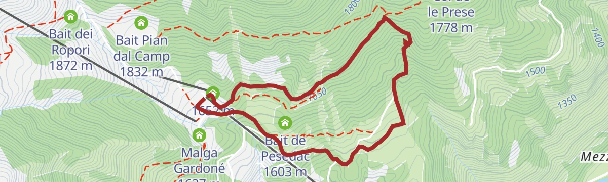
Open route APT Fiemme CembraFrom Passo Feudo to Gardonè
A long, mostly downhill walk over pasture and through wood off the usual circuits, past the bare Baito dei Sugadoi shelter, facing the Lagorai on one side and the Pale di San Martino on the other.
- 7.3 km
- Distance
- 148 m
- Ascent
- 2 h 34 min
- Duration
- 111
- Check-ins
- Baita Passo Feudo Hütte 2 170 m
- Baita Gardoné The Mountain Riviera 1 649 m
- Passo Feudo - Satteljoch 2 118 m
Open route APT Fiemme CembraTranslagorai - Stage 3
A stage of the Translagorai on the Fiemme side of the range, short in distance but with a full day's climbing.
- 9.5 km
- Distance
- 1 078 m
- Ascent
- 5 h 26 min
- Duration
- 105
- Check-ins
- Bivacco Paolo e Nicola 2 179 m
- Rifugio Baita Monte Cauriol 1 600 m
- Forcella di Valmaggiore - Sèla de Valmaòr 2 180 m
- Baita dell'Alpino - gruppo ANA Ziano 1 594 m
- Forcella Dos Caligher 2 190 m
- Agritur Malga Sadole 1 602 m
- +7
Open route APT Fiemme CembraLatemar Tour
A long road circuit of the Latemar, over the Passo di Costalunga past the Lago di Carezza and back across the Passo di Lavazè.
- 74.4 km
- Distance
- 2 039 m
- Ascent
- 8 h 31 min
- Duration
- 603
- Check-ins
- Karer See - Lago di Carezza 1 533 m
- Passo di Costalunga - Karerpass 1 745 m
- Bar & Imbiss Kareesee 1 559 m
- Antermont 1 759 m
- Passo di Lavazè 1 807 m
- GolfHotel 1 754 m
- +24
Open route APT Fiemme CembraFrainus
A short, playful walk in cool woodland given over to birds: feathers to learn from, nests, eggs to find and an eagle to ride.
- 1.3 km
- Distance
- 32 m
- Ascent
- 23 min
- Duration
- 13
- Check-ins
Open route APT Fiemme CembraMalga Bocche: a gorgeous landscape
A walk through the Canvere pastures, whose old barns remain from a farming life that lasted into recent decades, to a dairy facing the Pale di San Martino.
- 9.3 km
- Distance
- 168 m
- Ascent
- 2 h 35 min
- Duration
- 98
- Check-ins
- Malga Bocche 1 939 m
- Chalet 44 Alpine Lounge 1 966 m
- Luxury Ski Lusia 1 953 m
- Malga Canvere 1 977 m
- Bait del Barbacio 1 977 m
- Bait del Pat 1 973 m
- +1
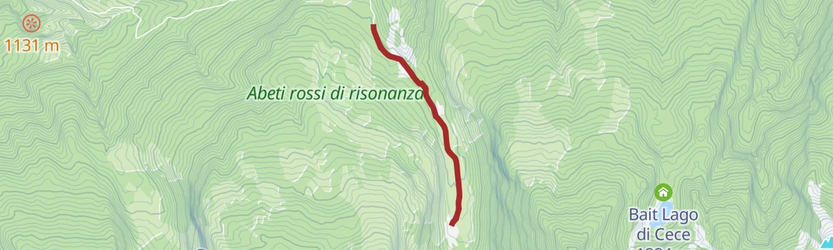
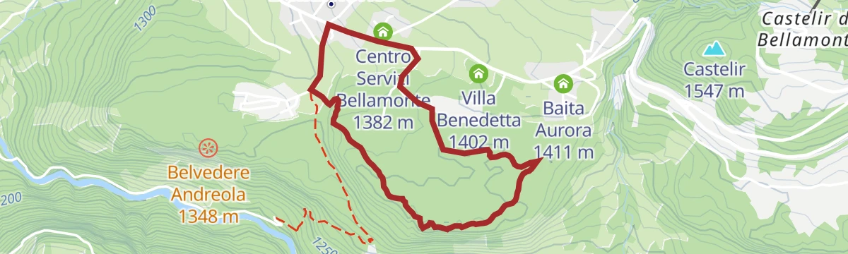
Open route APT Fiemme CembraALTERNATIVE The "Sounding Firs" - Tour 933
A dirt-road route through the spruce of the Paneveggio park, timber used for the soundboards of violins and pianos, with Vaia storm damage still visible.
- 17.7 km
- Distance
- 222 m
- Ascent
- 5 h 10 min
- Duration
- 53
- Check-ins
- Baita Aurora 1 411 m
- Ufficio Informazioni Paneveggio 1 525 m
- Centro Servizi Bellamonte 1 382 m
- Centro Visitatori "Terra Foresta" 1 526 m
- Albergo Zaluna 1 206 m
- Villa Benedetta 1 402 m
Open route APT Fiemme CembraGravel Tour - Latemar and Lake Carezza
A gravel loop from Predazzo over the Reiterjoch and on to the Passo di Costalunga, passing Ganischger Alm and the fir-ringed lake below the Latemar.
- 57.1 km
- Distance
- 1 597 m
- Ascent
- 6 h 34 min
- Duration
- 526
- Check-ins
- Passo di Costalunga - Karerpass 1 745 m
- Antermont 1 759 m
- Baita della Scofa 2 006 m
- Zischgalm 2 010 m
- Ganischger Alm 2 017 m
- GolfHotel 1 754 m
- +18
Open route APT Fiemme CembraWalk on the Sentiero Marciò
A short nature loop inside the Paneveggio and Pale di San Martino park, with viewing points and information boards.
- 1.9 km
- Distance
- 50 m
- Ascent
- 34 min
- Duration
- 11
- Check-ins
Open route APT San Martino di Castrozza, Primiero e VanoiWith stroller to Malga Bocche
A pushchair-friendly walk over the Canvere pastures and their old barns to a dairy under the white rock of the Pale di San Martino.
- 9.2 km
- Distance
- 168 m
- Ascent
- 2 h 35 min
- Duration
- 98
- Check-ins
- Malga Bocche 1 939 m
- Chalet 44 Alpine Lounge 1 966 m
- Luxury Ski Lusia 1 953 m
- Malga Canvere 1 977 m
- Bait del Barbacio 1 977 m
- Bait del Pat 1 973 m
- +1
Open route APT Fiemme CembraCima di Cece from Caoria
A long approach from Caoria on quiet paths to Cima di Cece, highest summit of the Lagorai, joining the Translagorai route near the top.
- 24.8 km
- Distance
- 1 740 m
- Ascent
- 11 h 33 min
- Duration
- 49
- Check-ins
- Cima di Cece - Cimon de Sés 2 754 m
- Bivacco Paolo e Nicola 2 179 m
- Forcella di Valmaggiore - Sèla de Valmaòr 2 180 m
- Forcella di Cece 2 393 m
- Malga Miesnotta di Sopra 1 885 m
- Malga Miesnotta di Sopra 1 875 m
- +6
Open route APT San Martino di Castrozza, Primiero e VanoiGravel route - The suspension bridge and Val Venegia
A gravel climb out of Predazzo through the Paneveggio park, reaching Malga Venegiota and Baita Segantini with its small lake below Cimon della Pala.
- 49.5 km
- Distance
- 1 426 m
- Ascent
- 5 h 44 min
- Duration
- 429
- Check-ins
- Falesie di Sottosassa 1 160 m
- Baita Segantini 2 200 m
- Capanna Cervino 2 084 m
- Agritur Malga Venegiota 1 828 m
- Agritur Malga Juribello 1 866 m
- Laghetto Baita Segantini 2 180 m
- +13
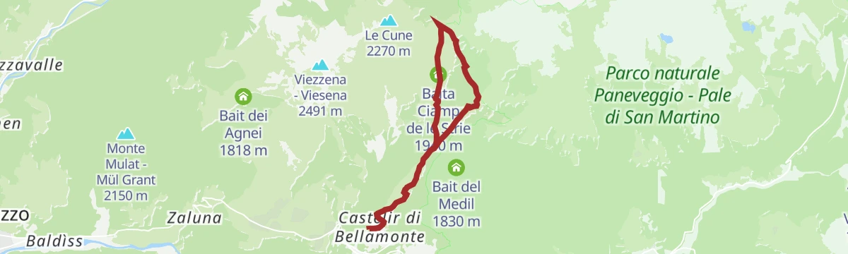
Open route APT Fiemme CembraWalk in the woods near Bellamonte village
A short walk from the centre of Bellamonte into thick fir forest, quiet and closed off from the valley.
- 3.3 km
- Distance
- 93 m
- Ascent
- 60 min
- Duration
- 9
- Check-ins
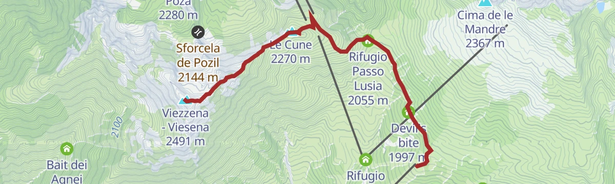
Open route APT Fiemme CembraCima Viezzena
From the Bellamonte gondola up a wide dirt road to the Lusia pass, then a steeper, wilder line above the lift stations towards the Viezzena.
- 9.4 km
- Distance
- 564 m
- Ascent
- 3 h 55 min
- Duration
- 87
- Check-ins
- Viezzena - Viesena 2 491 m
- Le Cune 2 270 m
- Passo Lusia - Sansòm 2 055 m
- Rifugio Passo Lusia 2 055 m
- Chalet 44 Alpine Lounge 1 966 m
- Luxury Ski Lusia 1 953 m
- +1
Open route APT Fiemme CembraThe three lakes
A route into the wild Lagorai past small streams and mountain lakes, with Cima Cece ahead and Great War entrenchments beyond the Forcella Moregna.
- 11.1 km
- Distance
- 911 m
- Ascent
- 5 h 50 min
- Duration
- 36
- Check-ins
- Agritur Malga Valmaggiore 1 619 m
- Bivacco Malga Moregna 2 082 m
- Lago Brutto 2 207 m
- Forcella Moregna 2 397 m
Open route APT Fiemme CembraMoena - San Pellegrino Pass - Valles Pass - Predazzo - Moena
A two-pass road loop that opens with the SS346 climb past Ronchi, crosses over to Paneveggio and returns down the valley road.
- 55.1 km
- Distance
- 1 723 m
- Ascent
- 6 h 31 min
- Duration
- 417
- Check-ins
- Passo Valles 2 032 m
- Rifugio Capanna Passo Valles 2 037 m
- Passo San Pellegrino 1 918 m
- Chalet Isabella 1 914 m
- Snow thrill 1 907 m
- Malga Vallazza 1 947 m
- +20
Open route APT Val di FassaTorrente Avisio A - Predazzo
A level walk along the Avisio torrent on the floor of the valley at Predazzo.
- 2.5 km
- Distance
- 0 m
- Ascent
- 37 min
- Duration
- 8
- Check-ins
Open route Trentino FishingStage 1 Dolomiti Family Trek King - On the wings of adventure
A family day at Bellamonte, with the water games of Giro d'Ali and the Frainus bird trail before the walk uphill in the afternoon.
- 3.9 km
- Distance
- 497 m
- Ascent
- 1 h 60 min
- Duration
- 71
- Check-ins
- Passo Lusia - Sansòm 2 055 m
- Rifugio Passo Lusia 2 055 m
- Baita Ciamp de le Strie 1 940 m
- El Zirmo 1 557 m
- Rifugio Bar Ja Ciamp 1 853 m
- Deposito sci 1 553 m
Open route APT Val di FassaMonte Mulat
A climb by way of the steep Viezzena valley, then the long north ridge, to Monte Mulat between the Travignolo and Avisio valleys.
- 9.4 km
- Distance
- 917 m
- Ascent
- 5 h 41 min
- Duration
- 7
- Check-ins
Open route APT Fiemme CembraTour San Pellegrino - Valles
A two-pass road loop from Predazzo, climbing 11 km at close to 7% on the first and dropping steeply past Malga Vallazza on the second.
- 56.6 km
- Distance
- 1 642 m
- Ascent
- 6 h 34 min
- Duration
- 405
- Check-ins
- Passo Valles 2 032 m
- Rifugio Capanna Passo Valles 2 037 m
- Passo San Pellegrino 1 918 m
- Chalet Isabella 1 914 m
- Snow thrill 1 907 m
- Malga Vallazza 1 947 m
- +18
Open route APT Fiemme CembraTorrente Avisio ZT
A very short and level walk beside the Avisio torrent at Predazzo.
- 1.7 km
- Distance
- 37 m
- Ascent
- 27 min
- Duration
- 8
- Check-ins
Open route Trentino FishingLago di Bocche
From the top of the Bellamonte cableway, a nearly level forest road past wooden huts and flowered meadows to the Bocche lake, set among porphyry.
- 13.7 km
- Distance
- 461 m
- Ascent
- 4 h 21 min
- Duration
- 56
- Check-ins
- Chalet 44 Alpine Lounge 1 966 m
- Luxury Ski Lusia 1 953 m
- Malga Canvere 1 977 m
- Bait del Barbacio 1 977 m
- Bait del Pat 1 973 m
- Lago Bocche 2 249 m
- +1
Open route APT Fiemme CembraFiemme and Fassa Dolomites cycle route
A surfaced valley cycle path linking the Val di Fiemme with the Val di Fassa, running up to Canazei with a summer bike shuttle.
- 47.4 km
- Distance
- 710 m
- Ascent
- 4 h 38 min
- Duration
- 281
- Check-ins
- Baita Al Parco 1 438 m
- Azienda Turistica 1 307 m
- Park Hotel Faloria 1 453 m
- Ufficio Turistico APT Fassa 1 374 m
- Baita Ischia 1 412 m
- Bici Grill Moena 1 147 m
- +7
Open route APT Fiemme CembraLago Brutto C4
A very short and level walk at the Lago Brutto in the hills above Predazzo.
- 536 m
- Distance
- 0 m
- Ascent
- 8 min
- Duration
- 7
- Check-ins
Open route Trentino FishingCastelir - Canvere
From Castelir at the foot of the Bellamonte cableway, through thin fir and larch to open ground facing the Pale di San Martino, with the Lagorai beyond.
- 3.4 km
- Distance
- 431 m
- Ascent
- 1 h 45 min
- Duration
- 36
- Check-ins
- Malga Canvere 1 977 m
- El Zirmo 1 557 m
- Deposito sci 1 553 m
- Bait del Barbacio 1 977 m
- Bait del Pat 1 973 m
- El Baiton 1 785 m
Open route APT Fiemme CembraClimbs Giro d'Italia - P.so Rolle
A steady road climb from Predazzo through the Paneveggio forest to the Rolle Pass at 1,971 m, passing Malga Rolle near the top.
- 20.5 km
- Distance
- 1 026 m
- Ascent
- 2 h 27 min
- Duration
- 249
- Check-ins
- Rolle Pass 1 971 m
- Malga Rolle 1 905 m
- Hotel Venezia 1 957 m
- Ex casa Cantoniera (PAT) 1 513 m
- Baita Aurora 1 411 m
- Ufficio Informazioni Paneveggio 1 525 m
- +7
Open route APT Fiemme CembraRio delle Laste G3
A level walk beside the Rio delle Laste at Predazzo, with no climbing at all along its length.
- 2.6 km
- Distance
- 0 m
- Ascent
- 1 h 27 min
- Duration
- 7
- Check-ins
Open route Trentino Fishing
No routes of this kind in Predazzo yet.
The region's own picks

Featured route
Geotrail Dos Capèl – Dolomites, what a discovery!
A themed walk with 19 stations to see, touch and hear, on the botany and geology of the Latemar; an easy-to-read guide covers the route.
Planning a trip to Predazzo?
Everything else Trentino-Alto Adige/Südtirol has, in one place


Take Predazzo with you into the mountains
Every route on this page with 3D terrain, GPX navigation and offline maps — including the valleys with no signal.
Data sources
- Official website: visitfiemme.it ↗
- Routes and highlights: APT Fiemme Cembra, Sterzing, Pfitsch und Freienfeld, Trentino Fishing, APT Val di Fassa, APT San Martino di Castrozza, Primiero e Vanoi, YesAlps, Falcade Dolomiti
- Published as open data by the tourist boards named above.
- Region summary generated from the board's own material.
