

 Mountain hut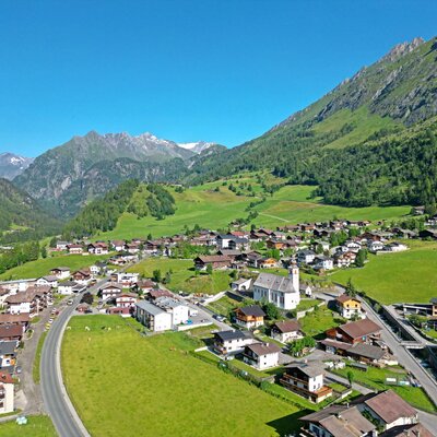





















Curated by Osttirol Tourismus
Prägraten am Großvenediger
The last villages of the Virgental beneath the Großvenediger, where the Umbalfälle cascades mark the glacier-fed upper run of the Isel.
- 4Highlights
- 47Routes
- Featured summit · Großvenediger
Highlights
11 from neighbouring places
Clarahütte 2.038m
An alpine club hut at 2,038 m in the Umbaltal above Prägraten, a base for walks along the upper Isel toward the Venediger group's western glaciers.
Stabanthütte 1.777m
A hut at 1,777 m above the Virgental near Prägraten, a family walking destination with views over the valley.
Außerwinkler Alm
An alm hut in the pastures above Prägraten am Großvenediger, part of the Virgental's traditional summer farming.
Lum-Alm
An alm hut above Prägraten in the upper Virgental, set in grazing country beneath the Venediger group.
Bergerseehütte 2.181m
6.5 km away, in Virgen
A hut at 2,181 m beside the Berger See, a small mountain lake in the Lasörling group above the Virgental.
Schmiedleralm 2.100m
8.7 km away, in Virgen
An alm hut at 2,100 m high above Virgen, reached by mountain paths climbing from the Virgental floor.
Bonn-Matreier-Hütte 2.750m
9.1 km away, in Virgen
An alpine club hut at 2,750 m on the southern flank of the Venediger group above Prägraten, among the highest managed huts in Osttirol.
Lasörlinghütte 2.350m
10.1 km away, in Virgen
A hut at 2,350 m below the Lasörling summit, a stage on the Lasörling high trail running along the south side of the Virgental.
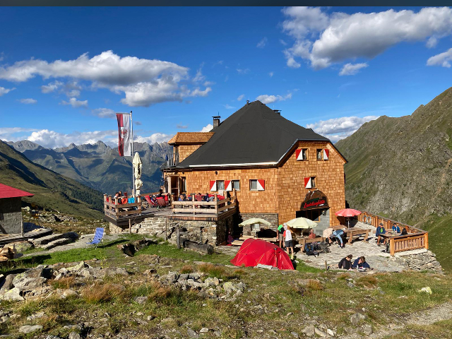
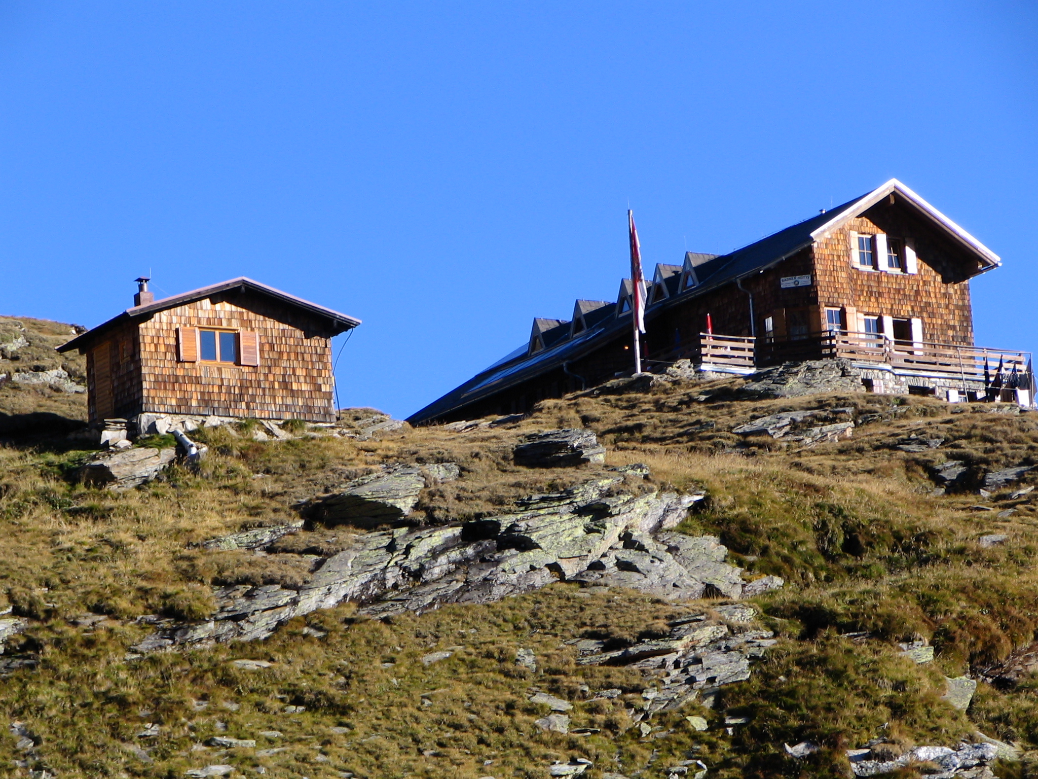
Badener Hütte 2.608m
10.3 km away, in Matrei in Osttirol
An alpine club hut at 2,608 m in the Venediger group above Matrei in Osttirol, a stage on the high circuit around the Großvenediger.
Laberalm
10.5 km away, in Virgen
An alm hut above Virgen in the Virgental, reached on marked paths through the summer pastures.
Motschendaberhütte
12.1 km away, in Virgen
A simple mountain hut set in the alm meadows above Virgen in the Virgental.
Alte Prager Hütte
12.1 km away, in Matrei in Osttirol
A 19th-century Alpine Club hut above the Gschlöss valley on the route toward the Grossvenediger, preserved today as a historic monument.
Sportalm Kuhstall
14.1 km away, in St. Jakob in Defereggen
A hut restaurant beside the lifts of St. Jakob in Defereggen, carrying the tongue-in-cheek name Kuhstall, or cowshed.
Alpengasthof Venedigerhaus Innergschlöss 1.691m
14.6 km away, in Matrei in Osttirol
An alpine inn at 1,691 m at Innergschlöss below the Großvenediger glaciers, the end point of the Gschlöss valley track from the Matreier Tauernhaus.
Gschlösstalalm
14.7 km away, in Matrei in Osttirol
An alm in the Gschlöss valley near Matrei in Osttirol, on the much-walked track toward Innergschlöss and the Venediger glaciers.
Nothing of this kind in Prägraten am Großvenediger.
Routes
E-Bike & Klettersteig Türml 2.844m
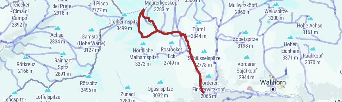
E-bike ride from Hinterbichl up the valley to the Johannishütte, then path 913 to the Türmljoch, where the via ferrata starts straight from the saddle onto the Türml.
- 23.0 km
- Distance
- 54 m
- Ascent
- 8 h 25 min
- Duration
- 19
- Check-ins
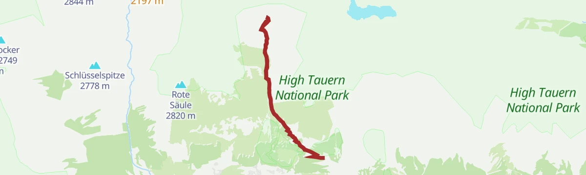
E-Bike & Klettersteig Rote Säule 2.820m
Bike-assisted approach to the Sajathütte above Prägraten, then 15 minutes to the Rote Säule via ferrata; easier and harder lines share the tower and gear can be hired at the hut.
- 19.2 km
- Distance
- 140 m
- Ascent
- 7 h 20 min
- Duration
- 10
- Check-ins
Klettersteig Rote Säule
Short via ferrata on the rock tower above the Sajathütte in the Prägraten valley; the approach from the hut takes ten minutes, and a partly secured gully leads back down.
- 1.3 km
- Distance
- 160 m
- Ascent
- 1 h 11 min
- Duration
- 7
- Check-ins
Klettersteig Türml 2.845m
A brief wired scramble near the Türmljoch above the Johannishütte in the Virgental; cairns mark the approach and the normal route offers an easier way down.
- 450 m
- Distance
- 55 m
- Ascent
- 25 min
- Duration
- 4
- Check-ins
NaturKraftWeg Umbalfälle
Nature trail to the Umbal falls at the head of the Virgental: from Ströden past the Pebellalm and Islitzeralm, with platforms overlooking the glacier river's cascades.
- 6.0 km
- Distance
- 286 m
- Ascent
- 2 h 7 min
- Duration
- 12
- Check-ins
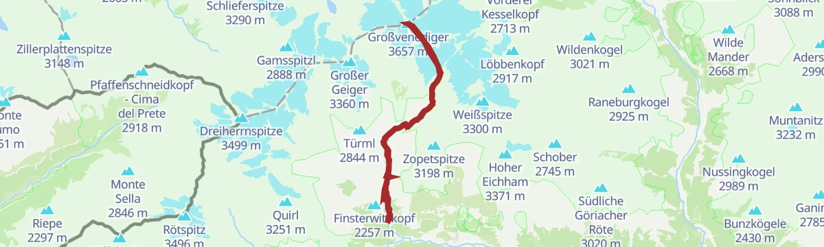
Großvenediger 3.657 m (Defregger Haus)
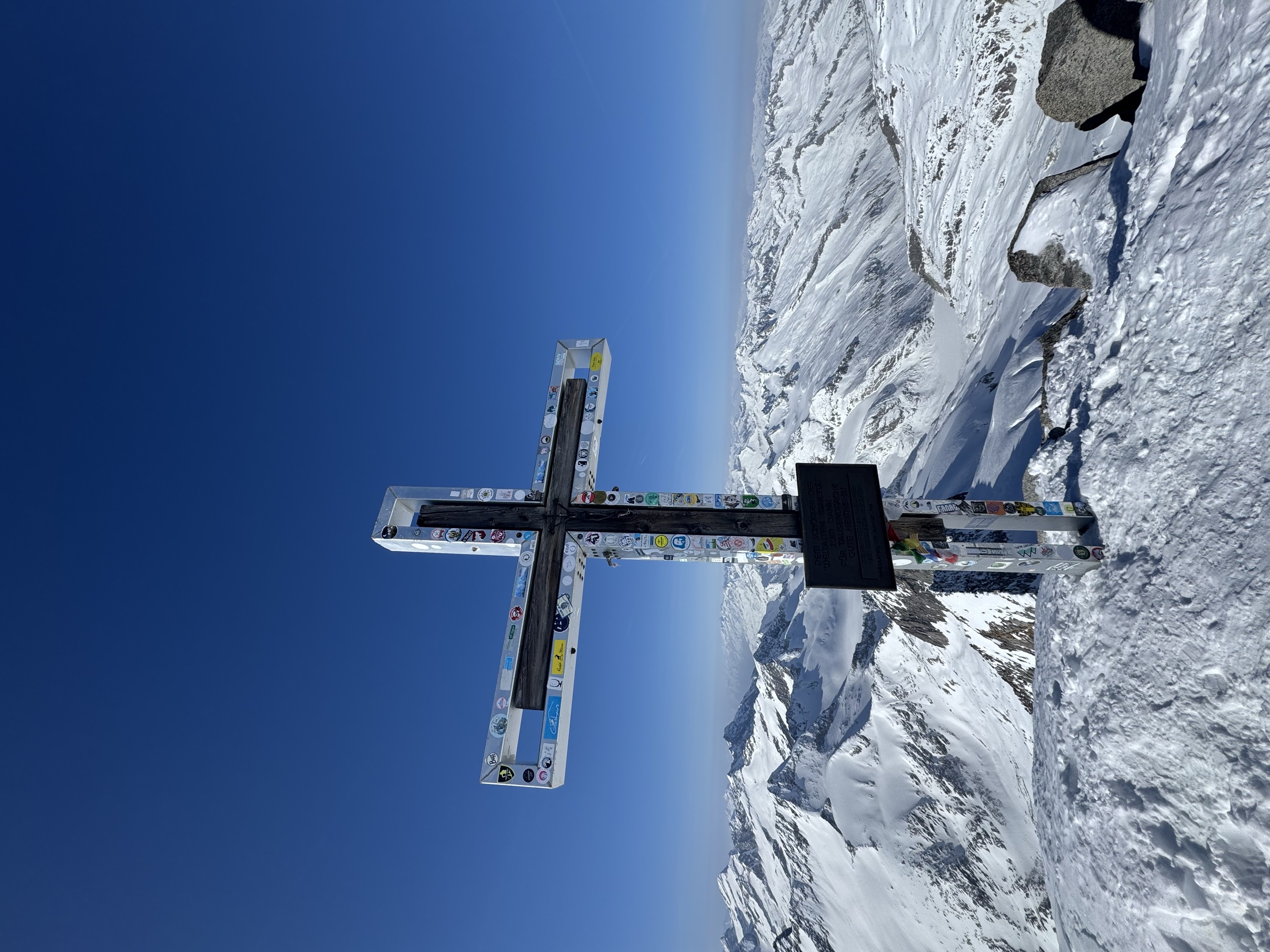
Glacier finale from the Defreggerhaus over the Rainertörl to the highest summit of the Venediger group at 3,657 m — a roped crossing that calls for crampons and experience.
- 8.1 km
- Distance
- 685 m
- Ascent
- 4 h 21 min
- Duration
- 47
- Check-ins
Hoch-Tirol-Trail
Long high-alpine stage linking the Ahrntal's Heilig Geist valley head with Osttirol, crossing the Lenkjöchl beside the Lenkjöchlhütte before dropping past the Pebellalm.
- 28.9 km
- Distance
- 1 707 m
- Ascent
- 11 h 53 min
- Duration
- 155
- Check-ins
Skitour Großvenediger 3.657m
High-alpine ski classic from the Virgental, climbing past the Johannishütte to the Defreggerhaus and on through the Rainertörl to the 3,657 m glacier summit.
- 13.3 km
- Distance
- 2 185 m
- Ascent
- 2 185 m
- Descent
- 7 h 20 min
- Duration
- 59
- Check-ins
Stabanthütte Nr. 130
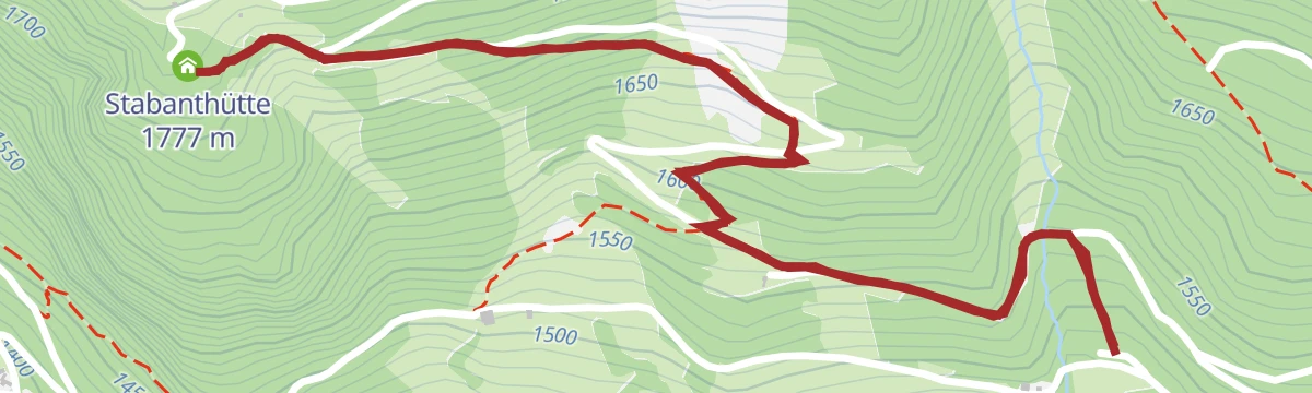
A forest-road ride up to the hut at 1,777 m, passing the valley station of the Sajathütte material cableway.
- 10.3 km
- Distance
- 549 m
- Ascent
- 1 h 30 min
- Duration
- 3
- Check-ins
Radweg Virgental Nr. 132
A long forest-road route through the Virgental, running from Virgen and Camping Edengarten up to the Pebellalm and Islitzeralm.
- 48.3 km
- Distance
- 1 602 m
- Ascent
- 5 h 48 min
- Duration
- 19
- Check-ins
Bike & Hike Großvenediger 3.657m
A ride up the valley road to the Johannishütte, where the bike is left for the walk on to the Defreggerhaus and the summit.
- 33.9 km
- Distance
- 2 441 m
- Ascent
- 6 h 7 min
- Duration
- 62
- Check-ins
Wanderung zur Islitzer Alm 1.513m
Family walk from Ströden up the valley to the Islitzeralm at the foot of the Umbal falls, passing the Pebellalm — short enough for small children.
- 3.7 km
- Distance
- 142 m
- Ascent
- 1 h 13 min
- Duration
- 12
- Check-ins
Wanderung zur Essener Rostocker Hütte 2.208m
Maurertal hut walk from Ströden: a steady track past the Stoan-Alm and Resinger Alm to a big alpine club hut at 2,208 m amid the Venediger group's glaciated peaks.
- 11.6 km
- Distance
- 818 m
- Ascent
- 5 h 26 min
- Duration
- 33
- Check-ins
Großvenediger 3.657 m
The full valley-to-summit route: from Parkplatz Wiesenkreuz through the Dorfertal to the Defreggerhaus, then across the glacier to the 3,657 m top — usually split with a hut night.
- 28.5 km
- Distance
- 2 281 m
- Ascent
- 14 h 42 min
- Duration
- 47
- Check-ins
Skitour Großer Geiger 3.360m
Committing glacier ski tour from Ströden through the Maurertal, using the Essener-Rostocker Hütte as the staging post for a shapely 3,360 m firn summit.
- 10.6 km
- Distance
- 1 936 m
- Ascent
- 1 936 m
- Descent
- 6 h 21 min
- Duration
- 36
- Check-ins
Johannishütte Nr. 131
A climb on the supply road up the Dorfertal from the Gasthof Islitzer to the hut at 2,121 m below the Großvenediger.
- 8.1 km
- Distance
- 820 m
- Ascent
- 1 h 55 min
- Duration
- 15
- Check-ins
Bike & Hike Umbalfälle 1.660m
A long ride up the valley from Virgen to the Islitzeralm, with the waterfalls and the Großbachfall viewing platform reached on foot.
- 50.6 km
- Distance
- 1 735 m
- Ascent
- 6 h 8 min
- Duration
- 19
- Check-ins
Auenweg nach Hinterbichl
Level walk along the Isel's meadows and floodplain woods from Prägraten's tourism office to Hinterbichl, with the Gasthof Islitzer as the turn-around refreshment stop.
- 6.8 km
- Distance
- 133 m
- Ascent
- 1 h 55 min
- Duration
- 9
- Check-ins
Wanderung zur Clarahütte 2.038m
Beyond the Umbal falls the path carries on up the wild Umbaltal to the remote Clarahütte at 2,038 m, tracking the young Isel past the Islitzeralm.
- 14.2 km
- Distance
- 740 m
- Ascent
- 5 h 21 min
- Duration
- 17
- Check-ins
Wanderung zum Defreggerhaus 2.964m
Long haul from Hinterbichl's Dorfertal to a hut just below 3,000 m, breaking the climb at the Johannishütte before the stony upper slopes beneath the Venediger glaciers.
- 19.7 km
- Distance
- 1 539 m
- Ascent
- 9 h 58 min
- Duration
- 26
- Check-ins
Skitour Westliche Simonyspitze 3.481m
Glacier ski expedition from Ströden via the Essener-Rostocker Hütte and the Reggentörl toward a 3,481 m Venediger-group summit — over 2,000 m of ascent in firn-season terrain.
- 13.6 km
- Distance
- 2 101 m
- Ascent
- 2 101 m
- Descent
- 7 h 9 min
- Duration
- 35
- Check-ins
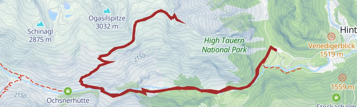
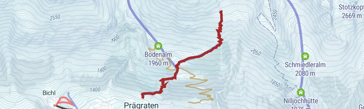
Bodenalm - Timmeltal Nr. 129
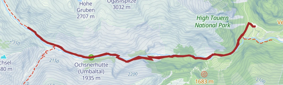
A forest-road climb from Prägraten up the side valley to the alpine pastures at around 2,000 m, ending at the Ochsnerhütte.
- 23.0 km
- Distance
- 1 135 m
- Ascent
- 3 h 10 min
- Duration
- 5
- Check-ins
Bike & Hike Seewandspitze 3.024m
A valley-road and track ride from Prägraten to the Bodenalm and Ochsnerhütte, with the Eisseehütte and the peak reached on foot.
- 30.9 km
- Distance
- 1 993 m
- Ascent
- 5 h 8 min
- Duration
- 11
- Check-ins
Wanderung zur Stabanthütte 1.777m
Short forest-and-pasture climb from the Sajat car park above Prägraten to a small refreshment hut at 1,777 m with a fine look down the Virgental.
- 3.3 km
- Distance
- 293 m
- Ascent
- 1 h 51 min
- Duration
- 3
- Check-ins
Wanderung zur Johannishütte 2.121m
Classic Dorfertal walk from Hinterbichl to the Johannishütte at 2,121 m — one of the oldest huts in the Hohe Tauern, set beneath the Großvenediger's southern glaciers.
- 11.3 km
- Distance
- 672 m
- Ascent
- 4 h 40 min
- Duration
- 12
- Check-ins
Wanderung zur Neuen Reichenberger Hütte 2.586m vom Virgental
Long approach from Ströden up the Umbaltal and over the Bachlenke to a 2,586 m hut beside the Bödensee — a key stop on the Lasörling high route.
- 18.2 km
- Distance
- 1 388 m
- Ascent
- 9 h 3 min
- Duration
- 24
- Check-ins
Skitour Mittlere Malhamspitze 3.360 m
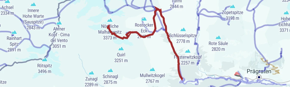
Almost 2,000 m of skinning from Ströden through the Maurertal, past the Essener-Rostocker Hütte, to a 3,360 m glacier summit for experienced ski mountaineers.
- 11.8 km
- Distance
- 1 987 m
- Ascent
- 1 987 m
- Descent
- 6 h 38 min
- Duration
- 33
- Check-ins
Bodenalm - Timmeltal Nr. 129 Alternative Wuneck
A variant of the side-valley climb that takes the Wuneck track on the way up to the Bodenalm above Prägraten.
- 23.2 km
- Distance
- 1 202 m
- Ascent
- 3 h 18 min
- Duration
- 3
- Check-ins
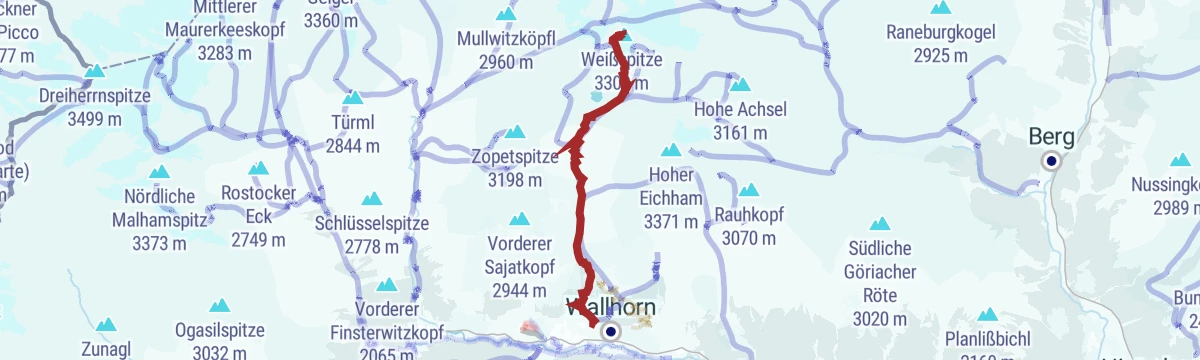
Bike & Hike Weißspitze 3.300m
A long ride up the Timmeltal to the Eisseehütte, from where the walking leg crosses the Wallhorntörl at 3,045 m.
- 35.2 km
- Distance
- 2 356 m
- Ascent
- 6 h 1 min
- Duration
- 10
- Check-ins
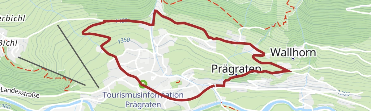
Prägratner Dorfrundwanderweg
Easy village round through Prägraten's hamlets on the sunny side of the Virgental, starting at the tourism office — old farmhouses and Venediger views included.
- 3.8 km
- Distance
- 174 m
- Ascent
- 1 h 19 min
- Duration
- 2
- Check-ins
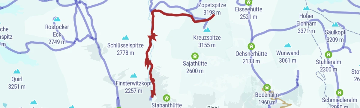
Wanderung zur Eisseehütte 2.521m
Timmeltal hut walk from the Bodenalm car park above Wallhorn, climbing steadily to the Eisseehütte at 2,521 m, a gateway to the Venediger high route.
- 10.4 km
- Distance
- 812 m
- Ascent
- 5 h 16 min
- Duration
- 7
- Check-ins
Hohe Grube 2.700m
Quiet 2,700 m viewpoint above the Umbaltal, reached from Ströden past the Pebellalm and Islitzeralm — a long climb well away from the waterfall crowds.
- 16.1 km
- Distance
- 1 349 m
- Ascent
- 8 h 36 min
- Duration
- 12
- Check-ins
Skitour Seewandkopf 3.024m
Steep Timmeltal ski tour from the Bodenalm past the Eisseehütte to a 3,024 m summit — 1,600 m of ascent finishing amid the Venediger group's glacier scenery.
- 7.6 km
- Distance
- 1 623 m
- Ascent
- 1 623 m
- Descent
- 5 h 10 min
- Duration
- 9
- Check-ins
Themenweg "Liegstätten im Timmeltal bei Prägraten"
Themed climb into the Timmeltal from the Bodenalm car park, where crafted resting spots along the path invite you to lie back and take in the valley.
- 7.2 km
- Distance
- 491 m
- Ascent
- 3 h 18 min
- Duration
- 3
- Check-ins
Wiesbauerspitze 2.768 m
Remote 2,768 m summit day above the Umbaltal, approached from Ströden past the Pebellalm and Islitzeralm with nearly 1,450 m of climbing.
- 17.9 km
- Distance
- 1 446 m
- Ascent
- 9 h 18 min
- Duration
- 12
- Check-ins
Skitour Hinterer Seekopf 3.234m
Big Timmeltal ski day from the Bodenalm above Wallhorn, climbing past the Eisseehütte to a 3,234 m summit — 1,800 m of ascent in high-alpine terrain.
- 8.3 km
- Distance
- 1 818 m
- Ascent
- 1 818 m
- Descent
- 5 h 46 min
- Duration
- 7
- Check-ins
Wanderung zur Lasnitzenhütte 1.900m
Valley walk from the Sägewerk car park near Prägraten into the Lasnitzental, ending at a welcoming pasture hut at 1,900 m below the Lasörling.
- 10.1 km
- Distance
- 669 m
- Ascent
- 4 h 31 min
- Duration
- 2
- Check-ins
Muhs-Panoramaweg
High balcony route on the Lasörling side of the Virgental, linking the Zopatnitzenalm, Lasnitzenhütte and Bergerseehütte with constant views across to the Venediger glaciers.
- 15.3 km
- Distance
- 1 171 m
- Ascent
- 7 h 37 min
- Duration
- 9
- Check-ins
Skitour Weißspitze 3.300m
Nearly 1,900 m of ascent from the chapel at Wallhorn through the Timmeltal, passing the Eisseehütte on the way to a 3,300 m summit crowning the valley.
- 9.1 km
- Distance
- 1 868 m
- Ascent
- 1 868 m
- Descent
- 5 h 59 min
- Duration
- 7
- Check-ins
Berger Kogel 2.656m
From the Sägewerk car park the route climbs past the Bergerseehütte and through the Bergeralmscharte to a 2,656 m summit on the Lasörling ridge, high over the Virgental.
- 13.0 km
- Distance
- 1 377 m
- Ascent
- 8 h 23 min
- Duration
- 8
- Check-ins
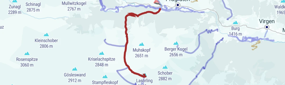
Skitour Lasörling 3.098m (Aufstieg von Prägraten a. G.)
Ski ascent of the Virgental's dominant southern peak from the Freizeitzentrum Gries, skinning past the Lasnitzenhütte to the 3,098 m summit — long and varied.
- 10.0 km
- Distance
- 1 851 m
- Ascent
- 1 851 m
- Descent
- 6 h 3 min
- Duration
- 5
- Check-ins
Wanderung zur Neuen Sajathütte 2.600m
Steep climb from the Sajat car park to a hut built like a little castle at 2,600 m, perched on the Prägraten side of the Venediger group.
- 10.3 km
- Distance
- 1 081 m
- Ascent
- 6 h 36 min
- Duration
- 7
- Check-ins
Skitour Tulpspitze 3.054m
Demanding ski tour above Prägraten with around 1,550 m of climbing to a 3,054 m summit — steep upper slopes that want settled spring snow.
- 7.3 km
- Distance
- 1 546 m
- Ascent
- 1 546 m
- Descent
- 4 h 56 min
- Duration
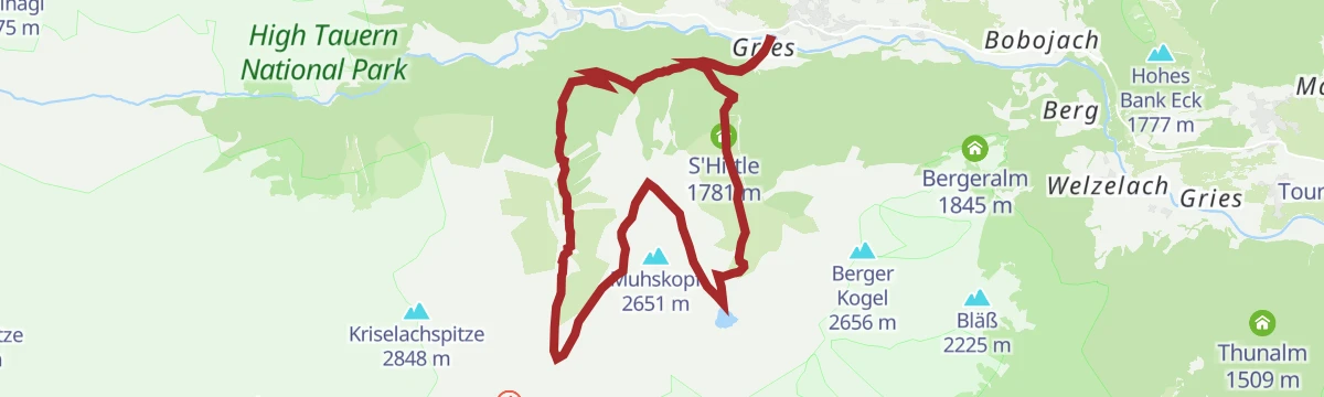
Wanderung zur Bergersee Hütte 2.181m
Hut walk with bite: from Gries near Prägraten the trail climbs past the S'Hittle to the Bergerseehütte beside its mountain lake at 2,181 m.
- 10.7 km
- Distance
- 944 m
- Ascent
- 5 h 57 min
- Duration
- 6
- Check-ins
Skitour Wunalm 2.341m
Short but steep ski tour from Prägraten's trout pond, gaining more than 900 m in barely 3 km on the way up to high pasture slopes at 2,341 m.
- 3.3 km
- Distance
- 929 m
- Ascent
- 929 m
- Descent
- 2 h 50 min
- Duration
 Forellenteich 1 884 m
Lasörling 3.098m (Aufstieg Prägraten a.G.)
Full summer ascent of the 3,098 m landmark above the Virgental, heading in past the Lasnitzenhütte — a long day with almost 1,850 m of height gain and wide Tauern views.
- 9.3 km
- Distance
- 1 845 m
- Ascent
- 10 h 17 min
- Duration
- 5
- Check-ins
Vorderer Sajatkopf 2.915 m
Stiff climb from the Bodenalm to a 2,915 m rocky forepeak in the Sajat corner of the Venediger group, with over 1,200 m of ascent packed into a short route.
- 5.9 km
- Distance
- 1 225 m
- Ascent
- 6 h 48 min
- Duration
- 1
- Check-ins
No routes of this kind in Prägraten am Großvenediger yet.
The region's own picks

Featured route
NaturKraftWeg Umbalfälle
Nature trail to the Umbal falls at the head of the Virgental: from Ströden past the Pebellalm and Islitzeralm, with platforms overlooking the glacier river's cascades.
Planning a trip to Prägraten am Großvenediger?
Everything else Tyrol has, in one place


Take Prägraten am Großvenediger with you into the mountains
Every route on this page with 3D terrain, GPX navigation and offline maps — including the valleys with no signal.
Data sources
- Official website: osttirol.com ↗
- Routes and highlights: Osttirol Tourismus
- Published as open data by the tourist boards named above.
- Region summary generated from the board's own material.
