
Curated by Monterosa Outdoor
Pontboset
Village of the Champorcher valley, where stone bridges cross the Ayasse gorge below the hamlets.
- 1Highlights
- 14Routes
- Featured summit · Tête du Mont
Highlights
5 from neighbouring places
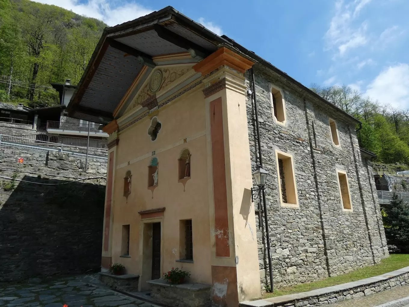
Cappella Del Gom
A wayside chapel at Pontboset, above the Ayasse gorge in the Champorcher valley.
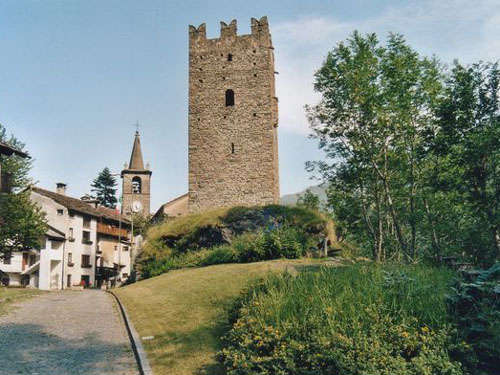
Torre medioevale e chiesa parrocchiale
5.3 km away, in Champorcher
A crenellated medieval tower and the parish church in the hamlet of Chateau, the old centre of the Champorcher valley.
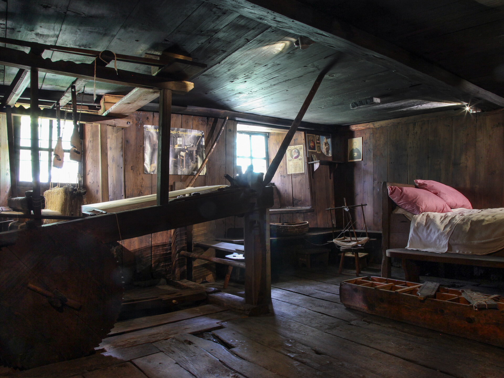
Ecomuseo della Canapa e del Telaio
6 km away, in Champorcher
A museum at Champorcher on the hemp growing and hand-loom weaving that clothed the valley.
RIFUGIO DONDENA
9.6 km away, in Champorcher
A former royal hunting lodge in the green Dondena basin above Champorcher, on the edge of the Mont Avic park.
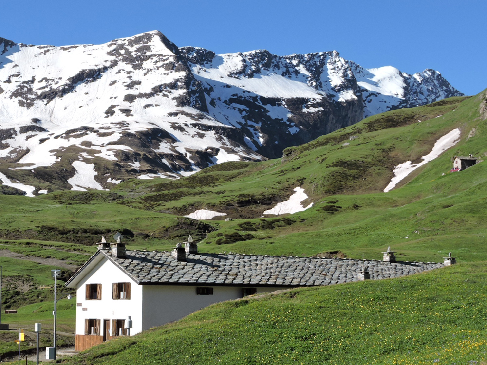
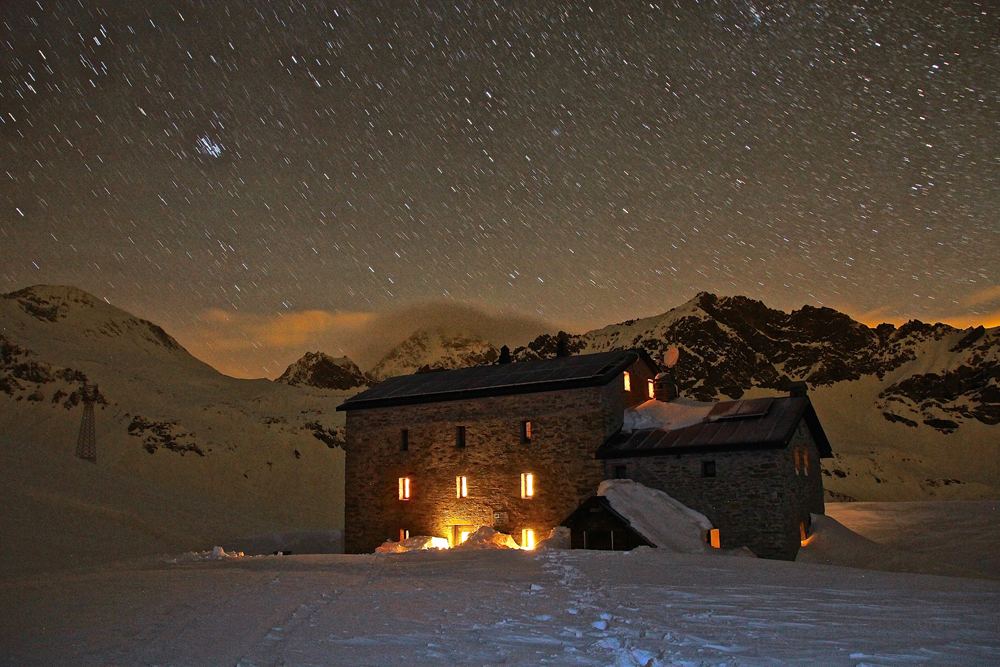
RIFUGIO MISERIN
11.7 km away, in Champorcher
A hut beside the Miserin lake above Champorcher, once a pilgrims' hospice below the Rosa dei Banchi.
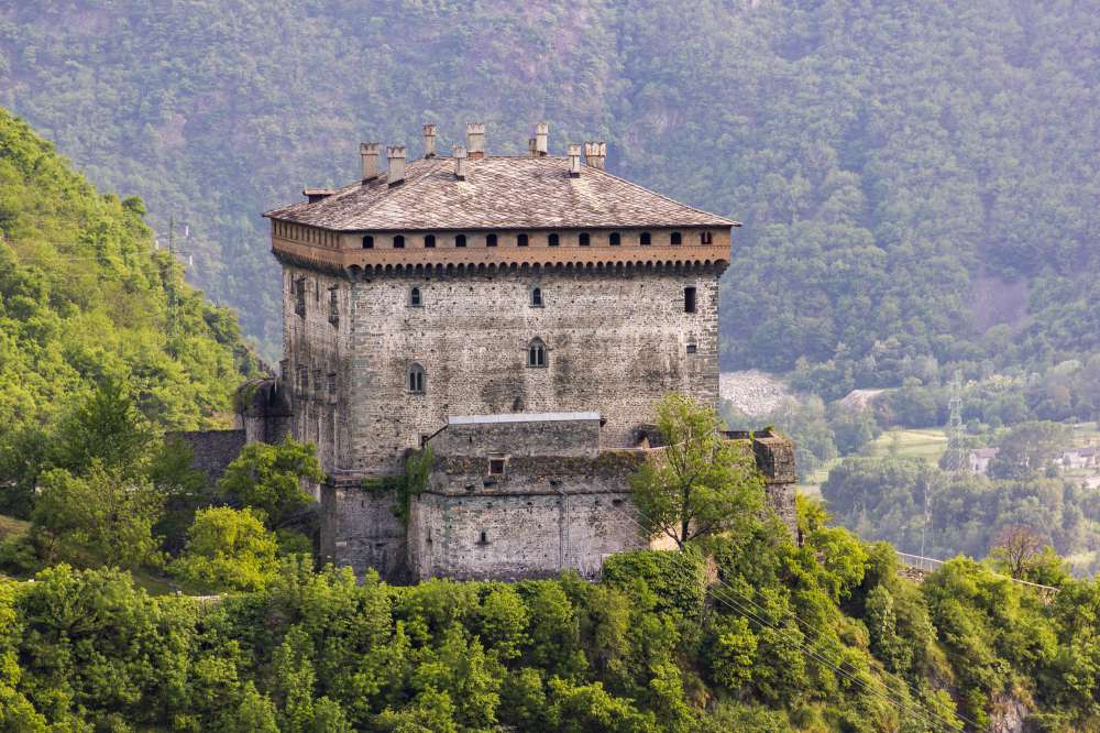
Il Castello di Verrès
8.9 km away, in Verrès
A single great cube of masonry above Verrès, built by Ibleto di Challant in the fourteenth century.
 Historic site
Nothing of this kind in Pontboset.
Routes
Percorso dei sei ponti
A short round at Pontboset over six old stone bridges, spanning the gorges where the Ayasse meets its side streams.
- 4.9 km
- Distance
- 205 m
- Ascent
- 1 h 40 min
- Duration
Tête du Mont
A steep, short ascent of the Tête du Mont on the slope above the lower Champorcher valley.
- 6.8 km
- Distance
- 836 m
- Ascent
- 4 h 58 min
- Duration
- 2
- Check-ins
Champorcher
A long circuit on the slopes above Champorcher, linking the pastures and old hamlets on both sides of the valley.
- 15.8 km
- Distance
- 1 477 m
- Ascent
- 9 h 41 min
- Duration
- 5
- Check-ins
Cammino Balteo 23° tappa
The twenty-third stage of the Cammino Balteo, passing through Pontboset in the Champorcher valley.
- 13.8 km
- Distance
- 442 m
- Ascent
- 4 h 43 min
- Duration
Donnas
A second long circuit around Donnas, on lanes and mule tracks through the vineyards of the lower Aosta valley.
- 19.9 km
- Distance
- 1 150 m
- Ascent
- 6 h 27 min
- Duration
- 3
- Check-ins
La Borney Troume
A climb from Pontboset to the Borney Troume alp, on the steep wooded slope above the Ayasse.
- 8.0 km
- Distance
- 730 m
- Ascent
- 4 h 34 min
- Duration
Colle della Fricolla e Lago Cornouy
A loop over the Colle della Fricolla and the Lago Cornouy, joining the Vallone della Legna above Champorcher with the Vallone della Manda at Pontboset.
- 15.0 km
- Distance
- 1 283 m
- Ascent
- 8 h 8 min
- Duration
- 2
- Check-ins
Lago Champas
A climb from Pontboset to the Champas lake, a small tarn in the pastures above the Ayasse valley.
- 8.0 km
- Distance
- 743 m
- Ascent
- 4 h 38 min
- Duration
 Lago di Champas 1 930 m
Crest
A long climb from Pontboset to the pastures of Crest, high on the flank of the Champorcher valley.
- 14.5 km
- Distance
- 1 039 m
- Ascent
- 8 h 28 min
- Duration
- 2
- Check-ins
Pont-Bozet
A round based on Pontboset, whose Franco-Provençal name is Pont-Bozet, climbing the terraces and hamlets above the Ayasse.
- 8.2 km
- Distance
- 610 m
- Ascent
- 4 h 1 min
- Duration
Retempio e col Pousseuil
A long ascent from Pontboset by Retempio to the Col Pousseuil, on the ridge above the Champorcher valley.
- 10.1 km
- Distance
- 1 017 m
- Ascent
- 6 h 14 min
- Duration
- 2
- Check-ins
Brenve e col Valbella
A long day from Pontboset by Brenve to the Col Valbella, crossing to the ridge above the Champorcher valley.
- 13.3 km
- Distance
- 1 506 m
- Ascent
- 9 h 3 min
- Duration
- Lago Di Lesiney 2 181 m
 Dortoir Crest 1 165 m
Lago Cornuto
A long climb above Champorcher to the Lago Cornuto, going over Mont Digny on the ridge between the side glens.
- 14.2 km
- Distance
- 1 307 m
- Ascent
- 8 h 9 min
- Duration
 Mont Digny 2 134 m
- Quota 2101 2 105 m
 Col Boset 2 077 m
- Bivacco Forestale 2 429 m
- Lago Cornuto 2 412 m
Val Champorcher bassa
A demanding day on the lower valley slopes above Pontboset, past the Orrido basso, the Dortoir Crest and several climbing crags.
- 21.0 km
- Distance
- 1 767 m
- Ascent
- 11 h 16 min
- Duration





No routes of this kind in Pontboset yet.
The region's own picks

Featured route
Percorso dei sei ponti
A short round at Pontboset over six old stone bridges, spanning the gorges where the Ayasse meets its side streams.
Planning a trip to Pontboset?
Everything else Aosta Valley has, in one place


Take Pontboset with you into the mountains
Every route on this page with 3D terrain, GPX navigation and offline maps — including the valleys with no signal.
Data sources
- Official website: lovevda.it ↗
- Routes and highlights: Monterosa Outdoor, Visit Monterosa
- Published as open data by the tourist boards named above.
- Region summary generated from the board's own material.
