
Curated by Villach Tourismus
Pörtschach am Wörther See
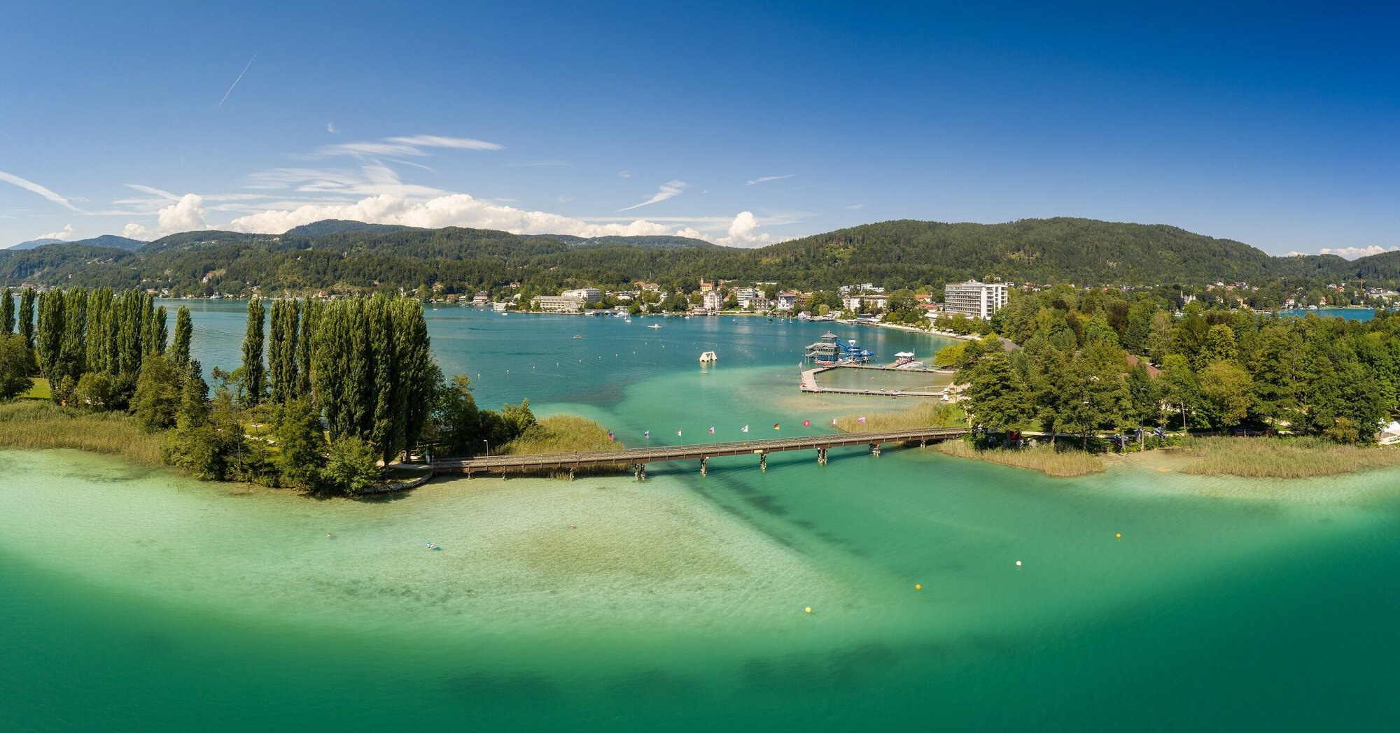
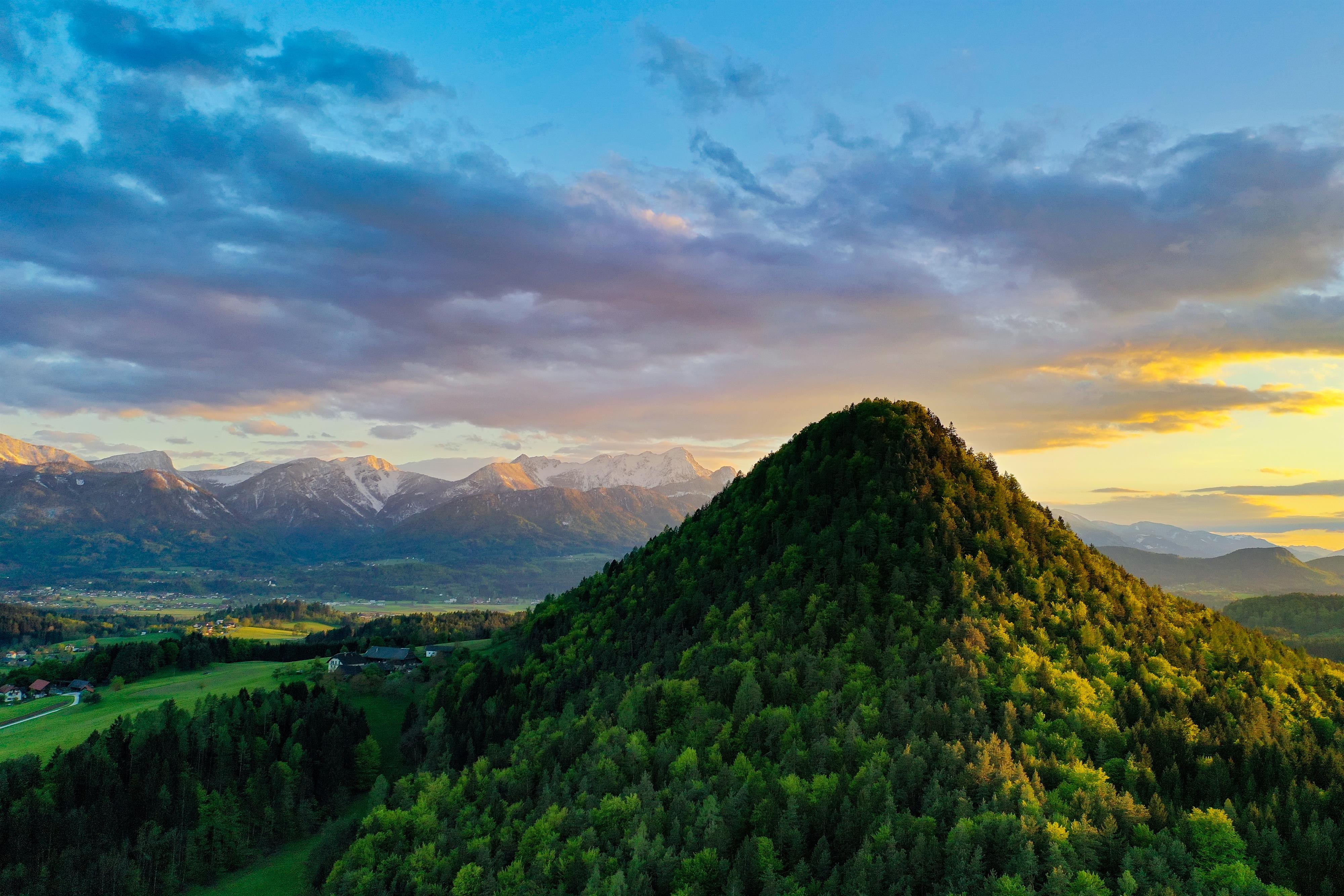
A promontory on the north shore of the Wörthersee at 447 m, a recognised Luftkurort and one of the lake's long-established summer resorts.
Photo: Johann Jaritz licence
- 5Highlights
- 4Routes
Highlights
10 from neighbouring places
Boot am See
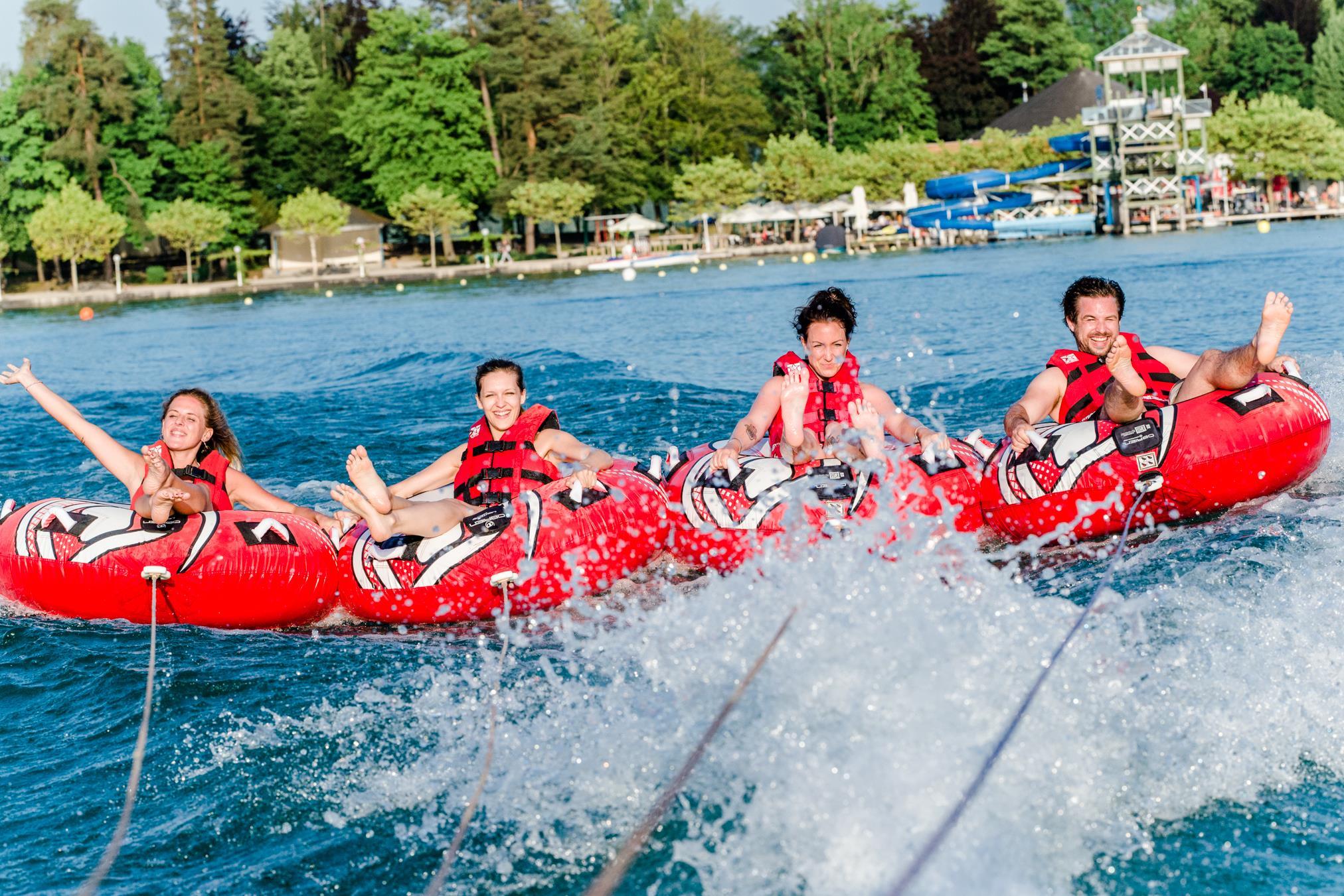
A boat taxi and watersports hire at Pörtschach on the Wörthersee, running trips across the lake.
Erlebniswelt Kranzelbinder- Mythos Edelstein
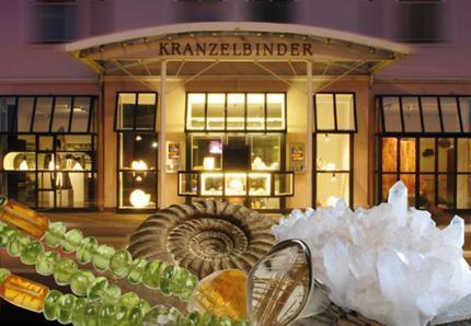
A gemstone and mineral exhibition at Pörtschach on the Wörthersee, combining a display of stones with a shop.
Galerie Loisel
An art gallery at Pörtschach on the Wörthersee, showing work by painters and sculptors from the region.
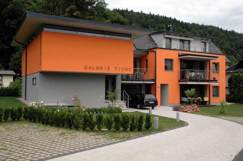
Galerie Tichy
A small private art gallery at Pörtschach on the Wörthersee, with changing shows of painting and sculpture.
Galerie ZUGänglicheKUNST
A gallery at Pörtschach on the Wörthersee that shows contemporary art in a deliberately informal, accessible setting.
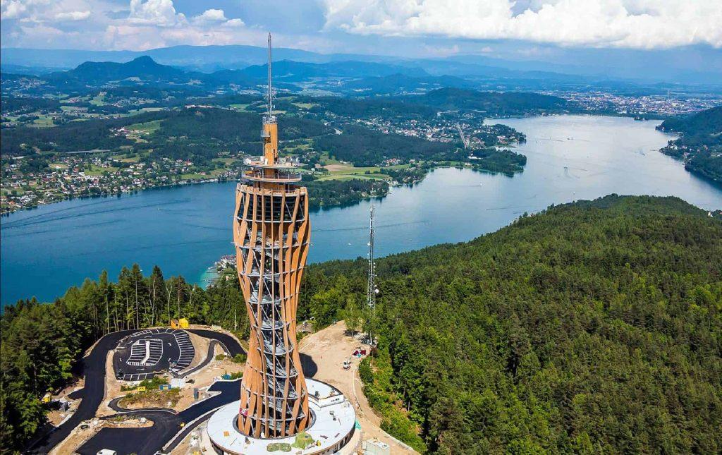
Aussichtsturm Pyramidenkogel
2.8 km away, in Keutschach am See
The wooden observation tower on the Pyramidenkogel above the Wörthersee, opened in 2013, with viewing platforms and a covered slide inside.
MITanond am See
5.2 km away, in Keutschach am See
A community meeting place by the water at Keutschach am See, listed by the Wörthersee board among its local venues.
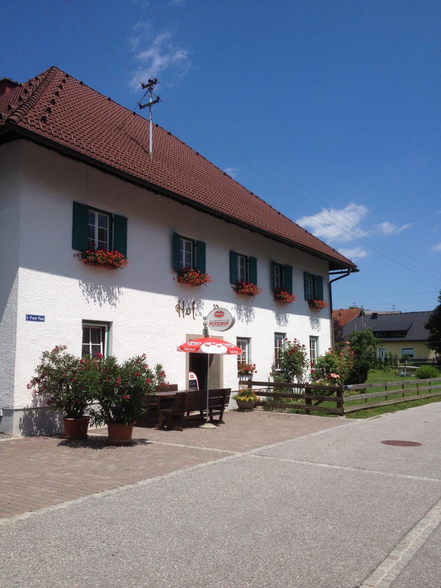
Jausenstation Putzihof
5.4 km away, in Schiefling am Wörthersee
A farm serving cold platters and drinks in the hills above Schiefling, a stop on walks over the western Wörthersee.
Haus der Archäologie
7.8 km away, in Schiefling am Wörthersee
The archaeology centre below the Kathreinkogel near Schiefling, presenting finds from the hilltop settlement excavated above the Wörthersee.
Ausgrabung am Kathreinkogel
7.9 km away, in Schiefling am Wörthersee
An excavated hilltop settlement on the Kathreinkogel above the western Wörthersee, with remains of late antique and early medieval occupation.
Panoramagastgarten "Zum Stöffele"
8 km away, in Velden am Wörther See
A terrace restaurant in the hills above Velden, with tables looking down over the western end of the Wörthersee.
Lichterpark und Kissing Tree in der Engelstadt
8.6 km away, in Velden am Wörther See
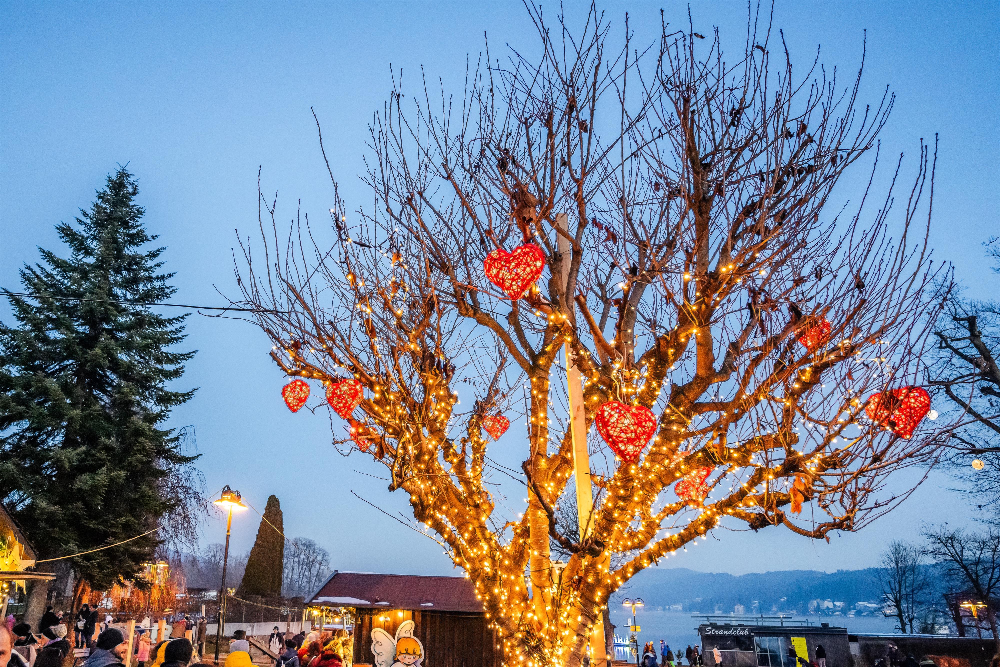
A park of light installations set up for advent in Velden am Wörther See, including the illuminated Kissing Tree by the lake.
Evangelische Pfarrgemeinde Velden
9.2 km away, in Velden am Wörther See
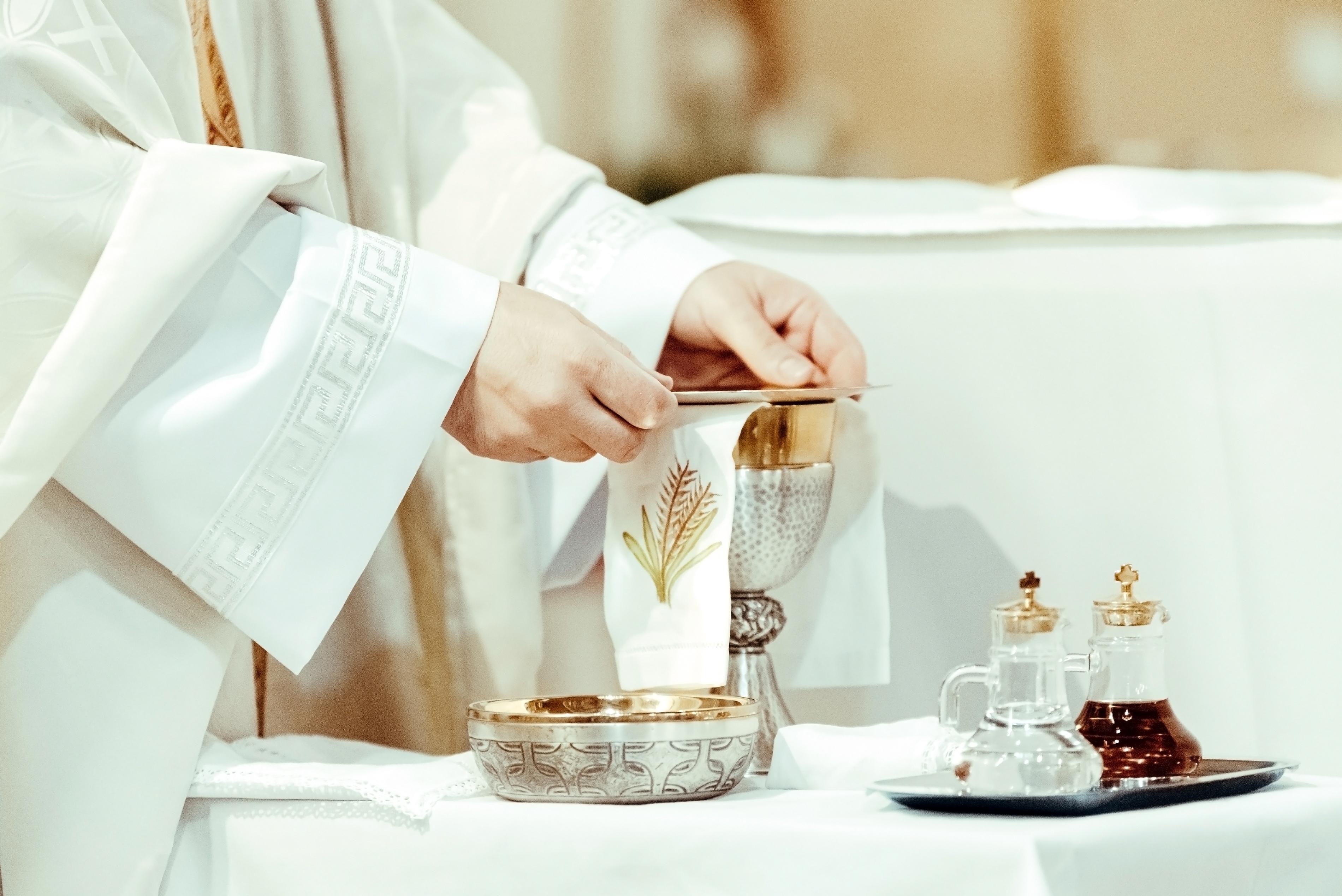
The Protestant parish church of Velden am Wörther See, serving the town's Lutheran congregation.
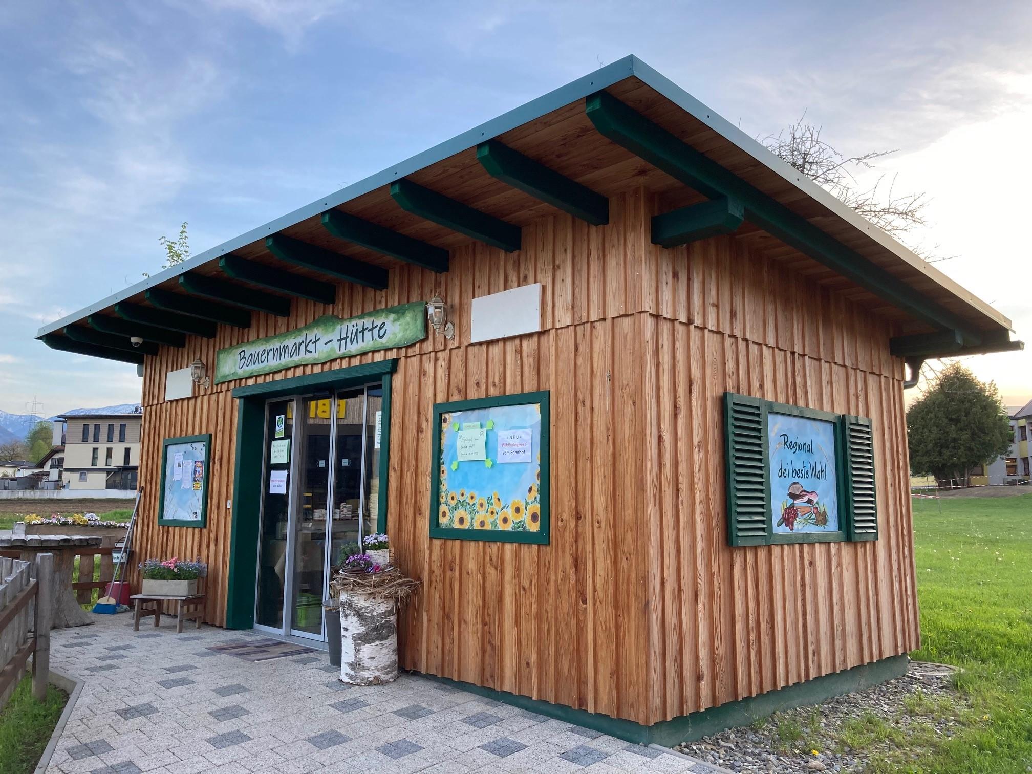
Bauernmarkt Hütte
10.3 km away, in Köttmannsdorf
A hut at Köttmannsdorf south of the Wörthersee used as a farmers' market outlet for produce from the surrounding farms.
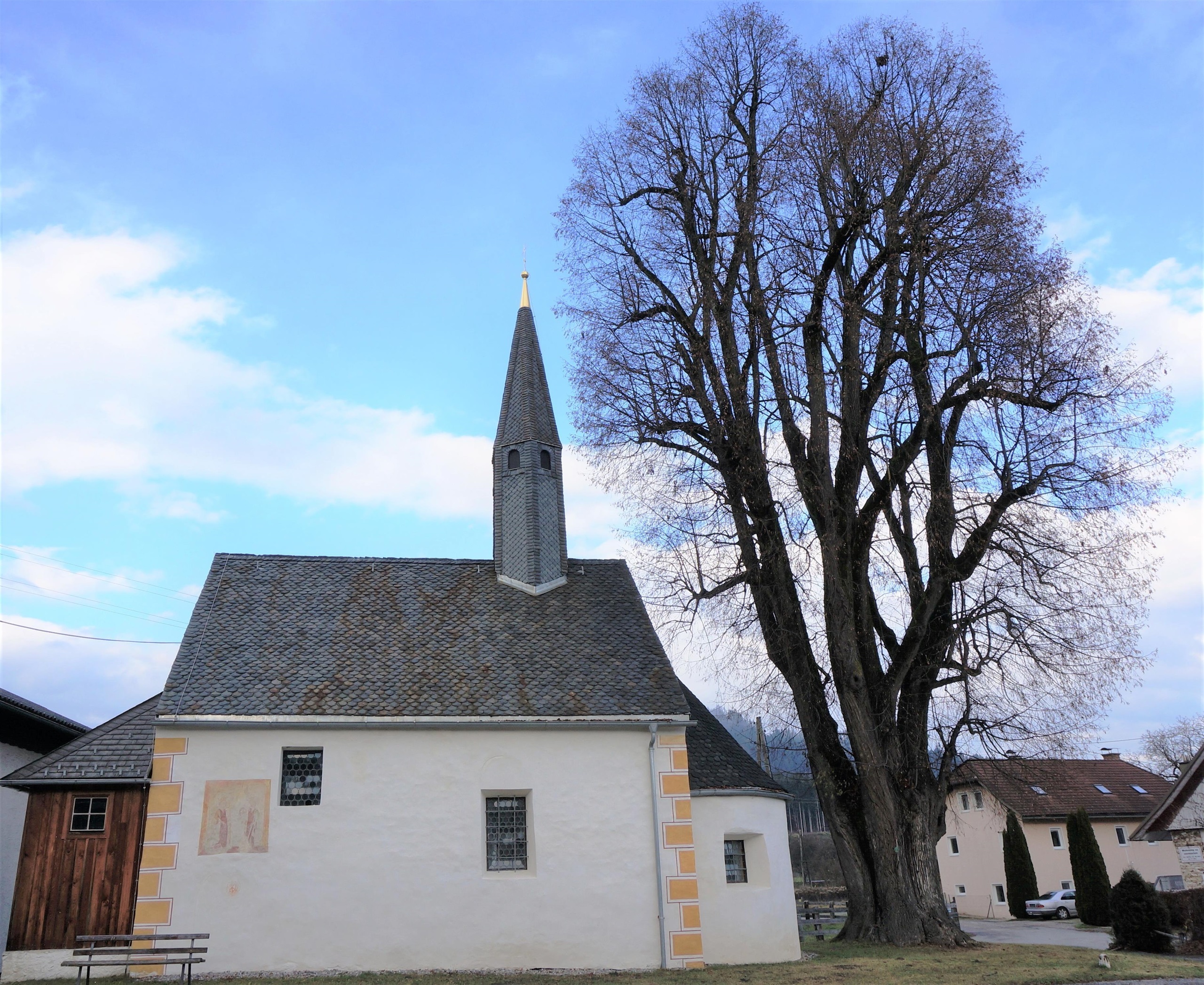
Katholische Filialkirche St. Margarethen
10.9 km away, in Steindorf am Ossiacher See
A small Catholic filial church at Tiffen near the Ossiacher See, a modest historic building in the hills of central Carinthia.
 Viewpoint
 Historic site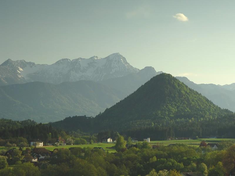

Nothing of this kind in Pörtschach am Wörther See.
Routes
16 from neighbouring places
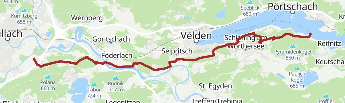
Transromanica-Tour 3: Ossiacher See - Klagenfurt am Wörthersee
A nearly level long-distance stage linking the two big Carinthian lakes, running along the Wörthersee through Velden and Pörtschach.
- 63.0 km
- Distance
- 128 m
- Ascent
- 5 h 44 min
- Duration
- 33
- Check-ins
E-Bike Tour 10 Seen
A long ride linking the lakes around Villach, from Velden and Techelsberg on the Wörthersee across to the Fleetsee and the campsites at Plörz.
- 73.2 km
- Distance
- 518 m
- Ascent
- 6 h 59 min
- Duration
- 26
- Check-ins
Zwei Seen Runde - Ossiacher See und Wörthersee (flach)
A long, near-level circuit between two Carinthian lakes, running through Pörtschach, Techelsberg and Velden before the return along the shore.
- 63.3 km
- Distance
- 389 m
- Ascent
- 5 h 59 min
- Duration
- 26
- Check-ins
Ossiacher Tauern Tour lang
The longer version of the ridge tour, over seventy kilometres, with the Trabeniger Berg and the Mühlteich along the way.
- 73.4 km
- Distance
- 1 135 m
- Ascent
- 7 h 35 min
- Duration
- 7
- Check-ins
 Trabeniger Berg 814 m
 Gasthaus Planner 521 m
 Mühlteich 505 m
RSAT28 Marienpilgerweg 6. Etappe: Maria Wörth - Maria Gail
2.1 km away, in Maria Wörth
A long Marian pilgrim day of 28 km, roughly seven and a half hours from the lakeside church of Maria Wörth west to Maria Gail, passing the Trattnigteich near Föderlach.
- 27.7 km
- Distance
- 464 m
- Ascent
- 7 h 35 min
- Duration
- 4
- Check-ins
Huby Trail - T62
12.2 km away, in Ossiach
An easy kilometre of singletrack on the wooded slope above Ossiach, part of the marked trail network by the lake.
- 1.1 km
- Distance
- 0 m
- Ascent
- 12 min
- Duration
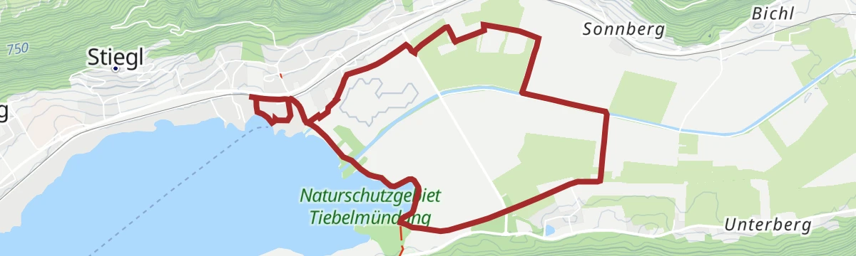
Slow Trail Bleistätter Moor (Variante B) - Steindorf bis Ossiach
13.1 km away, in Steindorf am Ossiacher See
A Slow Trail across the Bleistätter Moor from Steindorf to Ossiach, six level kilometres with the lake never far away.
- 6.1 km
- Distance
- 74 m
- Ascent
- 1 h 36 min
- Duration
- 4
- Check-ins
Slow Trail Bleistätter Moor (Variante A)
13.1 km away, in Steindorf am Ossiacher See
The longer of the two Bleistätter Moor Slow Trails, seven kilometres of flat walking through wetland at the head of the Ossiacher See.
- 7.2 km
- Distance
- 0 m
- Ascent
- 1 h 42 min
- Duration
- 4
- Check-ins
Ossiacher Tauern Tour - Nr.12
13.6 km away, in Ossiach
A short climb onto the wooded ridge south of the lake, starting by the summer toboggan run and returning over the Hasslerhügel.
- 13.0 km
- Distance
- 437 m
- Ascent
- 1 h 34 min
- Duration
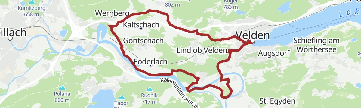
Schlösserradweg - Radweg zwischen den Schlössern Damtschach, Wernberg, Rosegg und Velden
9.1 km away, in Velden am Wörther See
A gentle circuit past the castle villages west of the Wörthersee, starting at the lakeside promenade and touching the Föderlach wetland.
- 29.5 km
- Distance
- 230 m
- Ascent
- 2 h 50 min
- Duration
- 11
- Check-ins
Jakobsweg Kärnten 6. Etappe: St. Jakob im Rosental - Villach
12.3 km away, in St. Jakob im Rosental
A 27 km pilgrim stage reckoned at seven hours, leading out of the Rosental from St. Jakob to Villach with around 700 m of climbing.
- 26.7 km
- Distance
- 535 m
- Ascent
- 7 h 36 min
- Duration
Toghy Trail Verbindung Ossiach - Alt-Ossiach - T02
13 km away, in Ossiach
A short, flat link along the lake shore between the two Ossiach villages, joining the marked trails at either end.
- 785 m
- Distance
- 0 m
- Ascent
- 4 min
- Duration
Burgruine Aichelberg - Rauterkogel
14.7 km away, in Wernberg
A family walk on old tracks to the castle ruin at Aichelberg, built around 1200 and restored in 2016, with the option of continuing to the Rauterkogel.
- 6.3 km
- Distance
- 276 m
- Ascent
- 2 h 9 min
- Duration
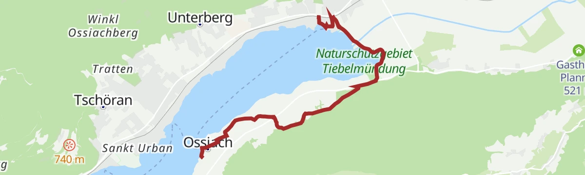
Ossiacher Schluchtweg
13.7 km away, in Ossiach
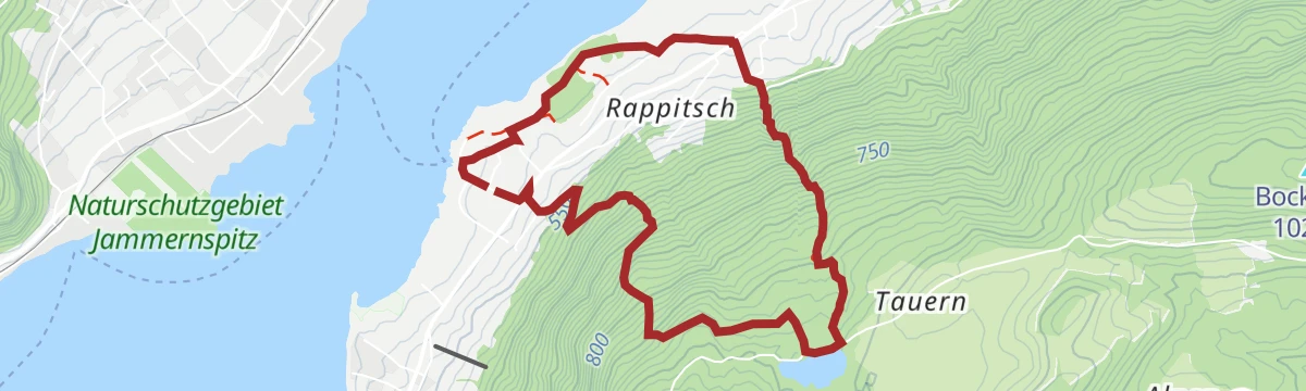
A varied round above Ossiach that follows the gorge path up to the Tauernteich pond and back.
- 6.2 km
- Distance
- 379 m
- Ascent
- 2 h 36 min
- Duration
Prefelnigtour - Nr. 10
13.6 km away, in Ossiach
A short medium-grade round above the lake at Ossiach, climbing some 300 m from the campsites on the southern shore.
- 11.2 km
- Distance
- 346 m
- Ascent
- 1 h 19 min
- Duration
- 1
- Check-ins
Ossiacher See - Bad Kleinkirchheim
13.6 km away, in Ossiach
A long ride from the lake shore up over the Prekowahöhe at 973 m to the spa village at just above 1,000 m.
- 78.9 km
- Distance
- 757 m
- Ascent
- 7 h 42 min
- Duration
- 10
- Check-ins
Bodensdorf - Seppl Hütte
14.6 km away, in Steindorf am Ossiacher See
Nearly 1,000 m up from Bodensdorf to the Sepplhütte high above the Ossiacher See, with the Peterlewand passed along the way.
- 13.9 km
- Distance
- 983 m
- Ascent
- 6 h 31 min
- Duration
- 2
- Check-ins
Parthy Trail - T70
13.6 km away, in Ossiach
One of the easy named lines in the woods behind Ossiach, a kilometre of gentle singletrack close to the lake shore.
- 1.0 km
- Distance
- 0 m
- Ascent
- 9 min
- Duration
Pavillon Peterlewand
14.7 km away, in Steindorf am Ossiacher See
Short but intensive for its length: 4 km to the pavilion on the Peterlewand above the Ossiacher See.
- 4.1 km
- Distance
- 173 m
- Ascent
- 1 h 23 min
- Duration
Sassler Rundweg
14.7 km away, in Steindorf am Ossiacher See
A round high above Bodensdorf with views over the Ossiacher See, 11 km and 660 m of climbing, with a Buschenschank on the route.
- 11.0 km
- Distance
- 565 m
- Ascent
- 4 h 6 min
- Duration
- 2
- Check-ins








No routes of this kind in Pörtschach am Wörther See yet.
Planning a trip to Pörtschach am Wörther See?
Everything else Carinthia has, in one place


Take Pörtschach am Wörther See with you into the mountains
Every route on this page with 3D terrain, GPX navigation and offline maps — including the valleys with no signal.
Data sources
- Official website: woerthersee.com ↗
- Routes and highlights: Villach Tourismus, Woerthersee
- Published as open data by the tourist boards named above.
- Region summary generated from the board's own material.
