
 Historic site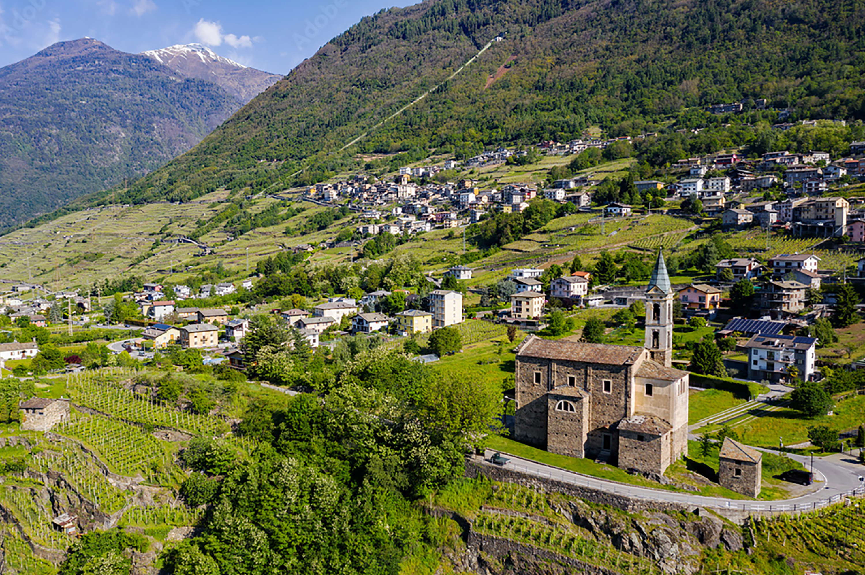
 Viewpoint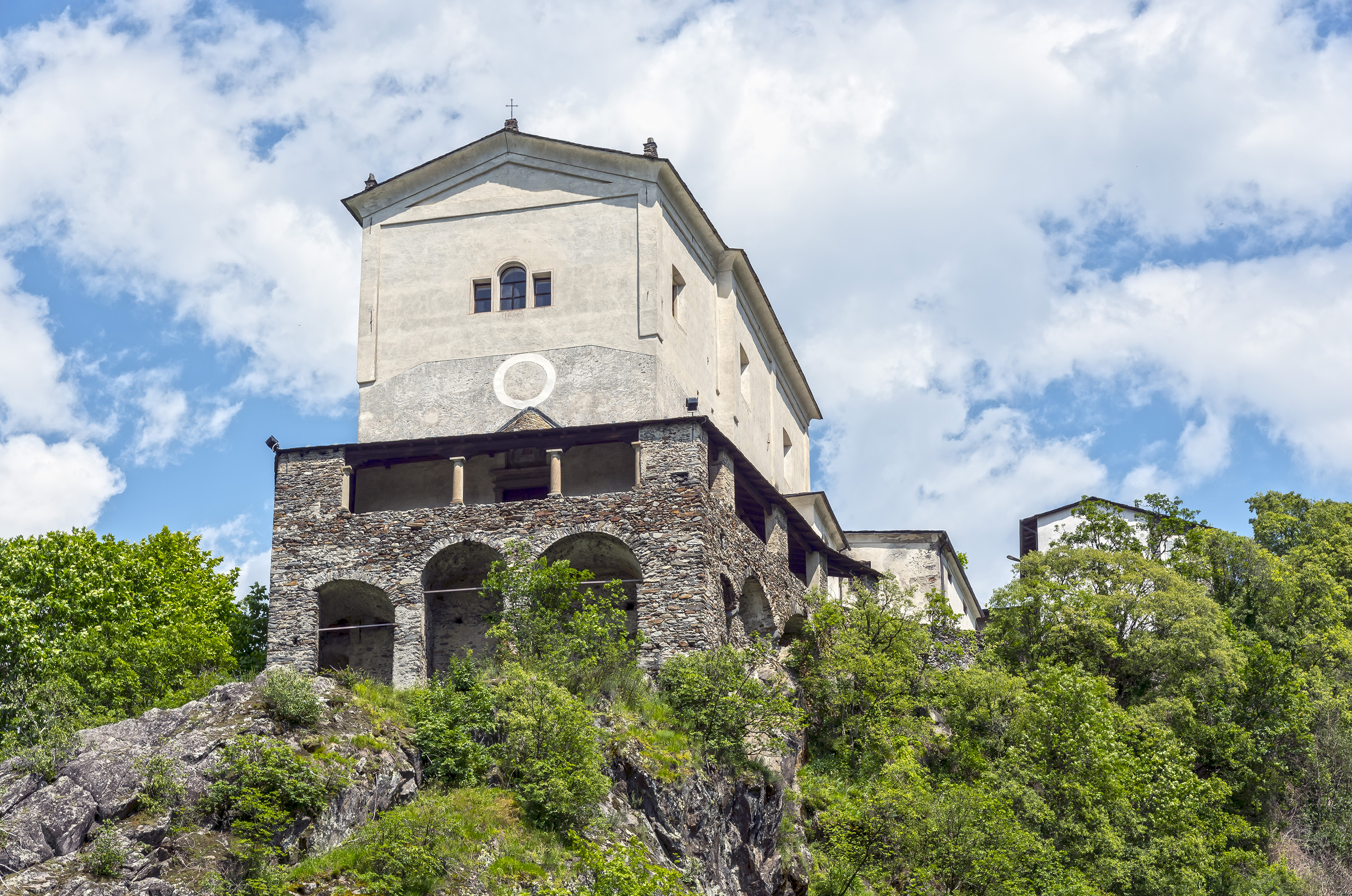














Curated by Valtellina Outdoor
Piateda
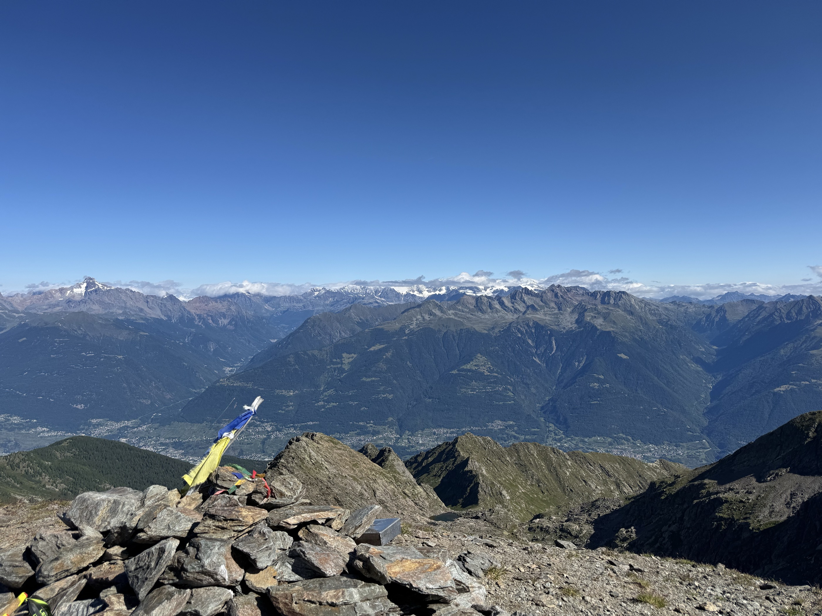
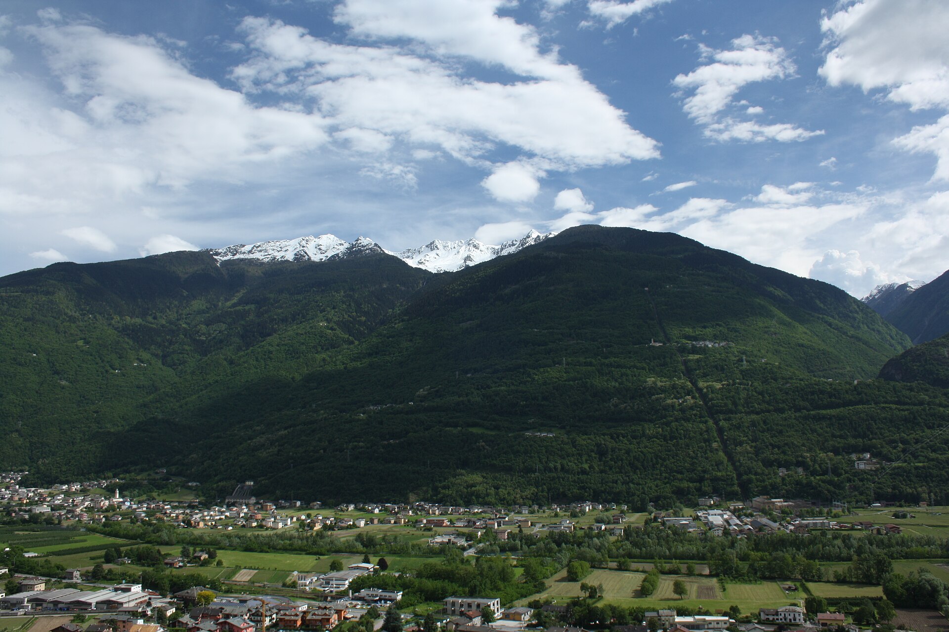
Middle Valtellina comune reaching from the Adda up to the Orobie ridge and the Val Venina.
- 1Highlights
- 30Routes
- Featured summit · Pizzo di Rodes
Highlights
14 from neighbouring places
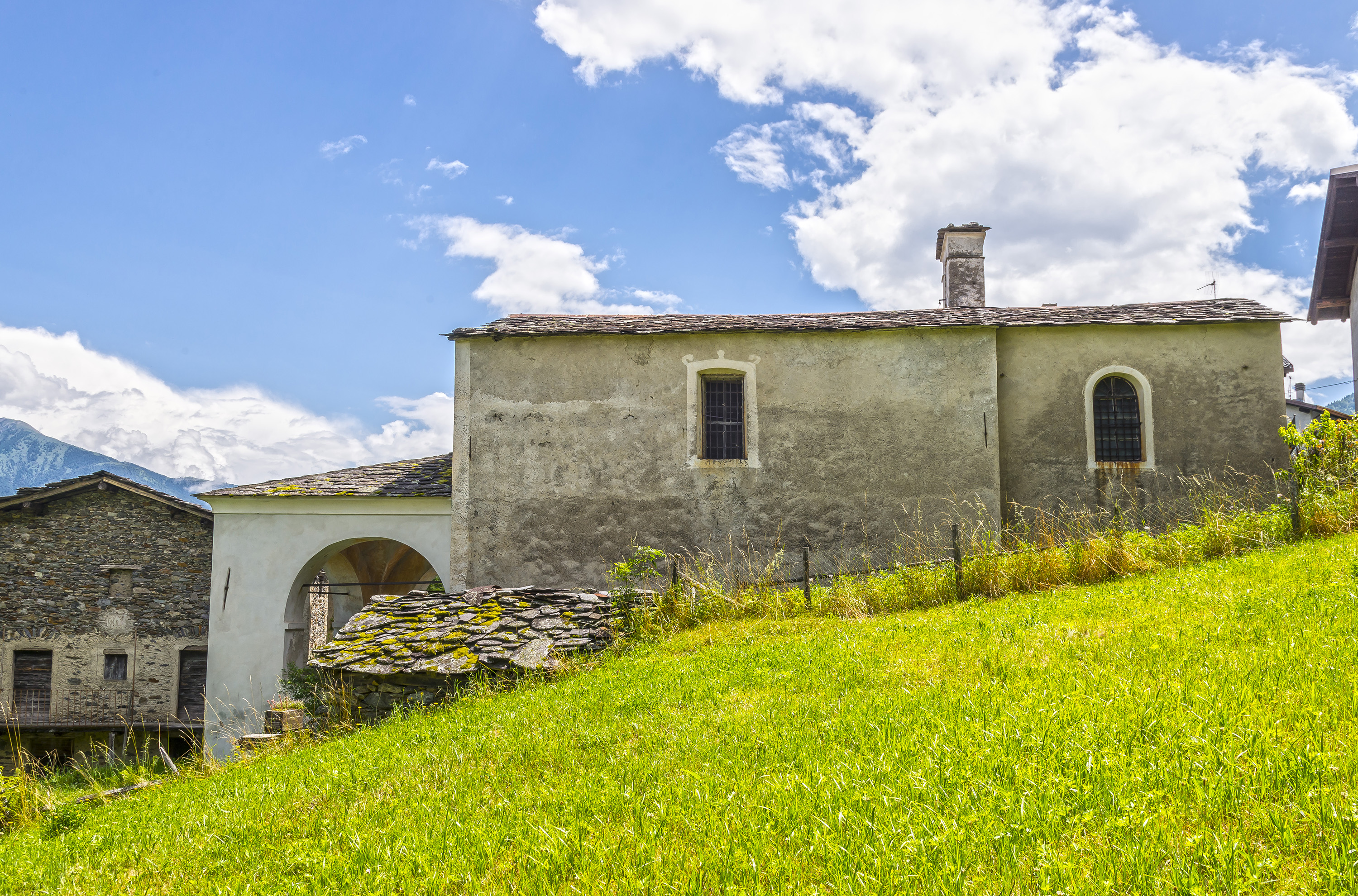
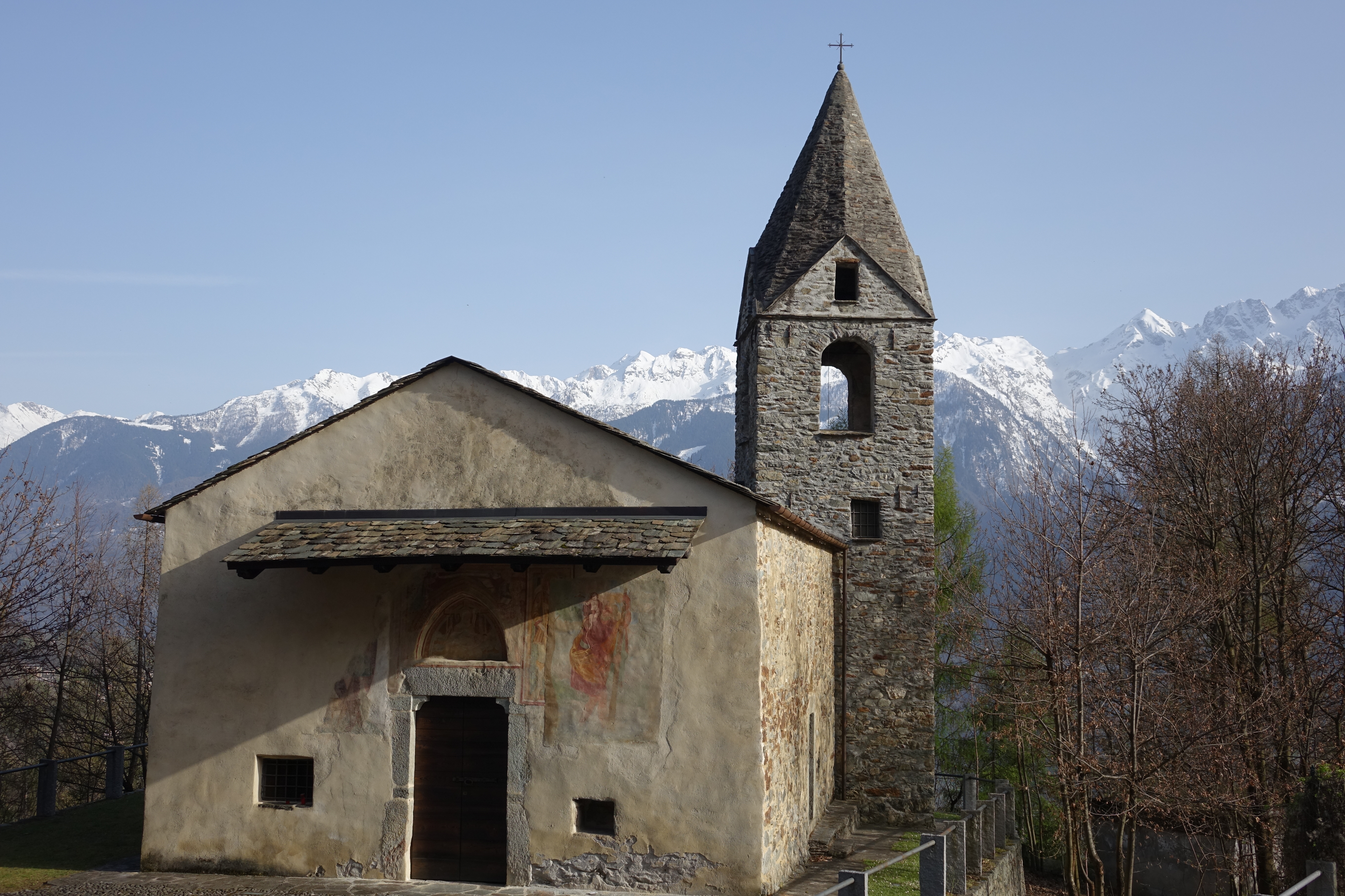
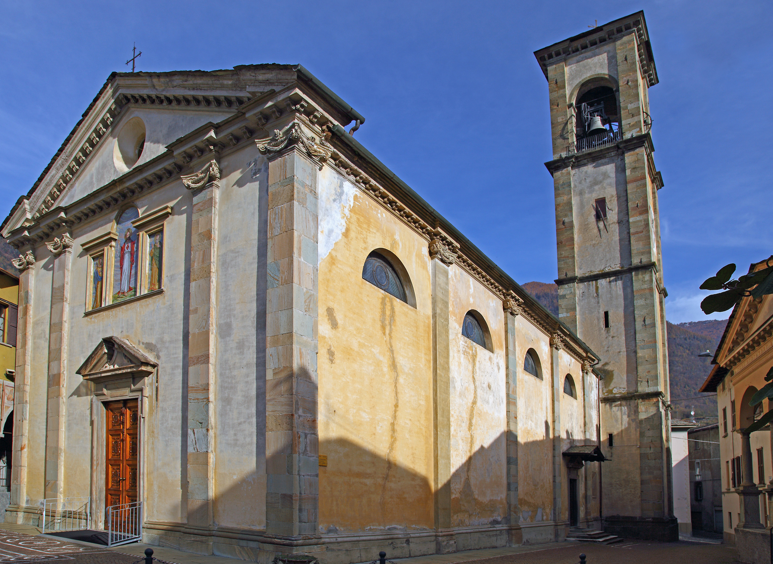
Chiesa di San Rocco
A votive church at Piateda, on the Orobie slope of the Valtellina.
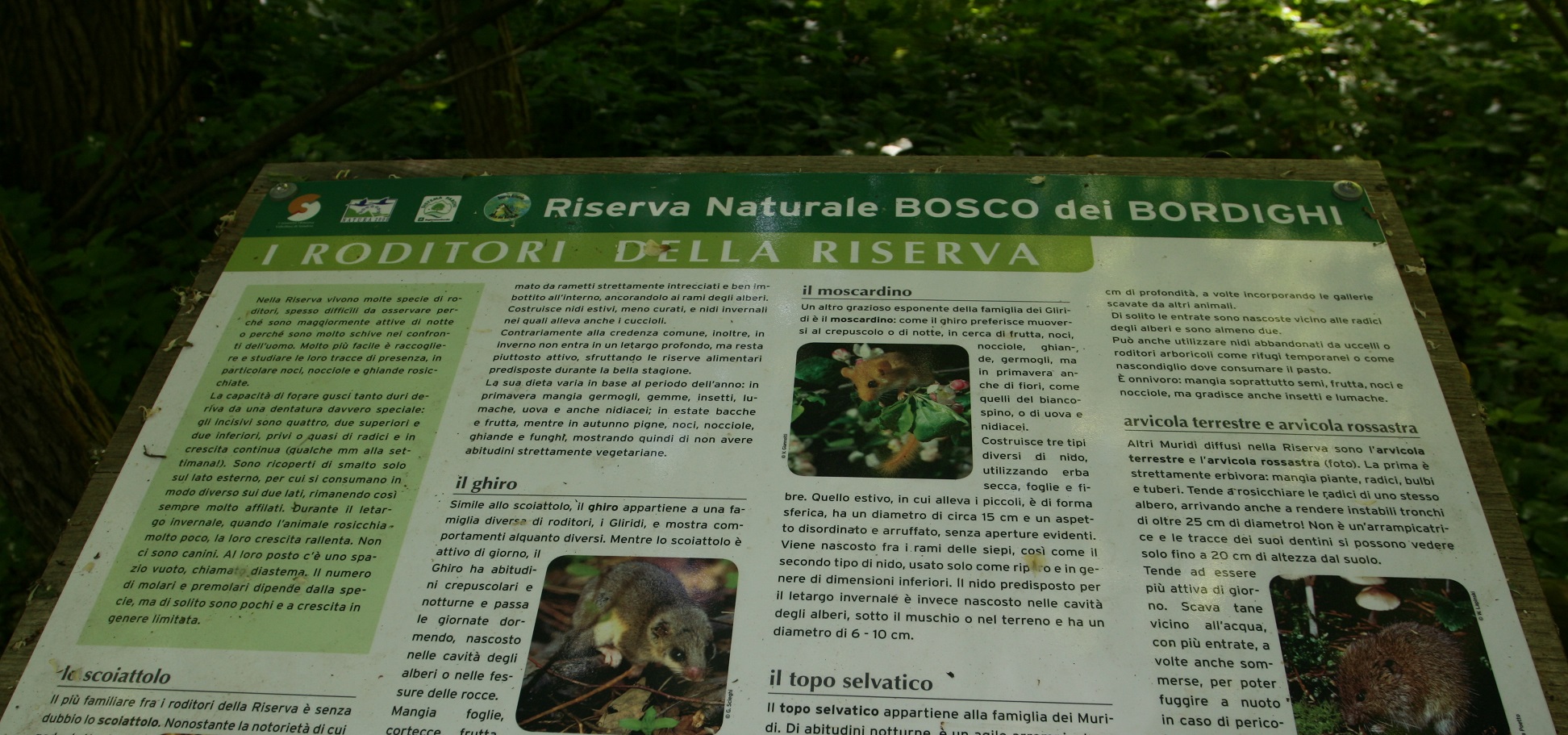
Riserva Naturale Bosco dei Bordighi
6.2 km away, in Montagna in Valtellina
A riverside wood on the Adda near Sondrio, one of the last stretches of the valley's original forest.
Chiesa di San Lorenzo
6.8 km away, in Ponte in Valtellina
A church on the Valtellina slope below Ponte, among the vineyard terraces.
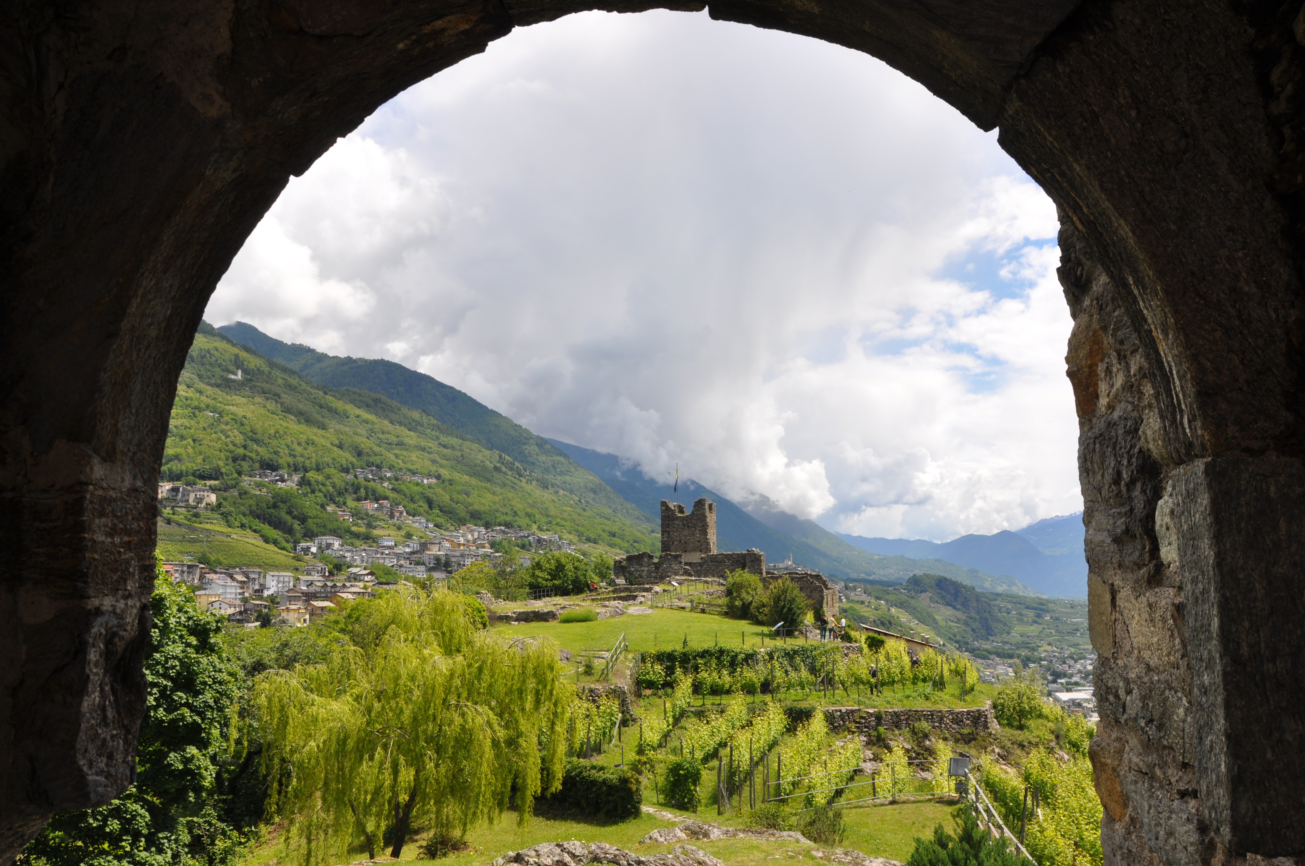
Castel Grumello
7.3 km away, in Montagna in Valtellina
A twin-towered ruined castle on a rock spur above the Valtellina, with vineyards below.
Chiesa di Sant'Antonio Abate
7.4 km away, in Montagna in Valtellina
A church beside the Grumello castle rock above Montagna in Valtellina.
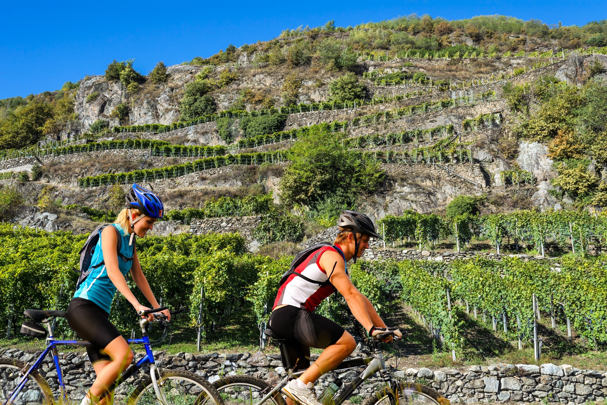
La Via dei Terrazzamenti
7.6 km away, in Montagna in Valtellina
A marked route along the Valtellina's dry-stone vineyard terraces between Morbegno and Tirano.
Chiesa di San Vittore
8.4 km away, in Caiolo
The parish church of Caiolo, on the Orobie slope facing Sondrio.
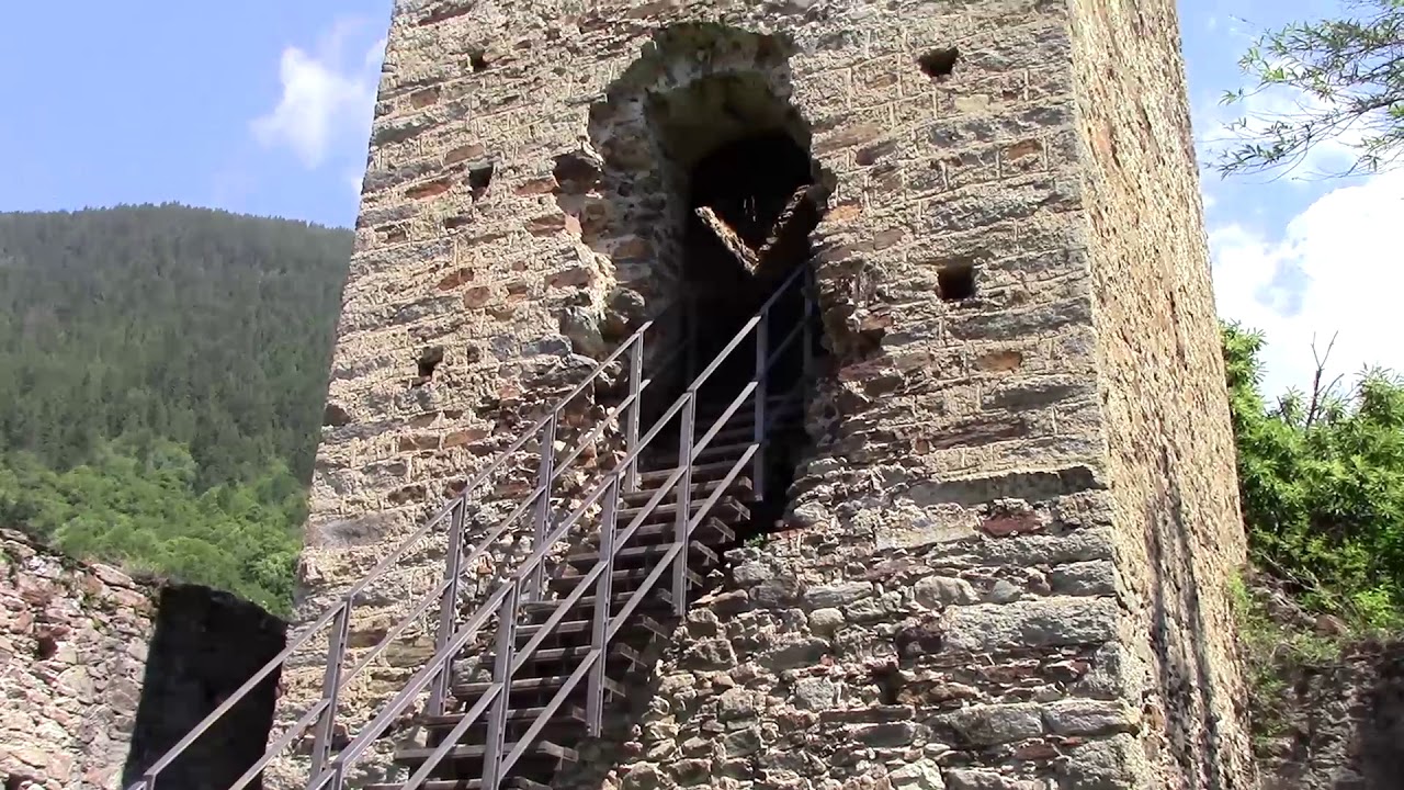
Torre di Mancapane
8.8 km away, in Montagna in Valtellina
A watchtower on the slope above Montagna in Valtellina, part of the valley's medieval signal chain.
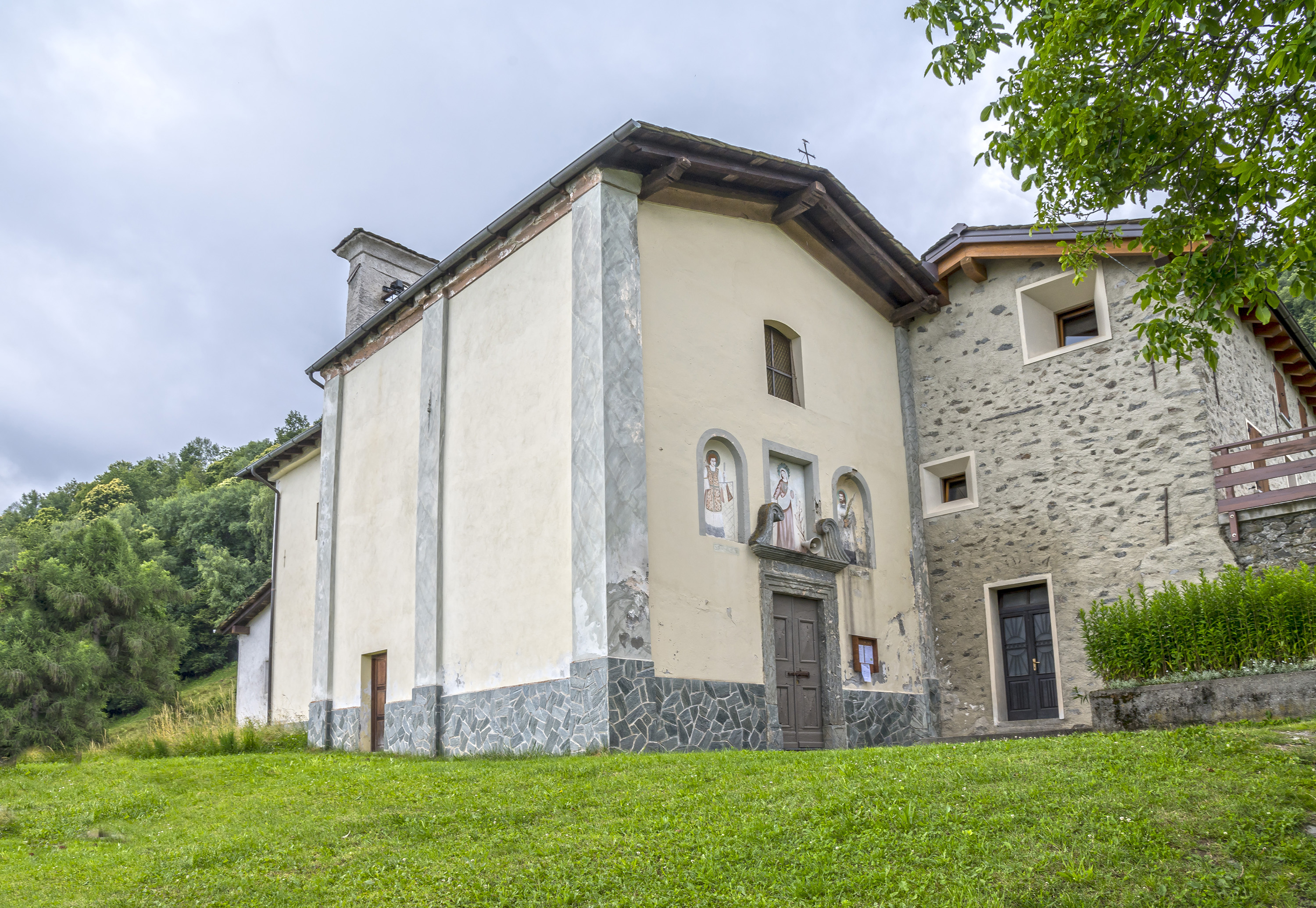
Chiesa dei Santi Rocco, Sebastiano e Cristoforo
9.7 km away, in Ponte in Valtellina
A votive church at Ponte in Valtellina, raised against plague and frescoed inside.
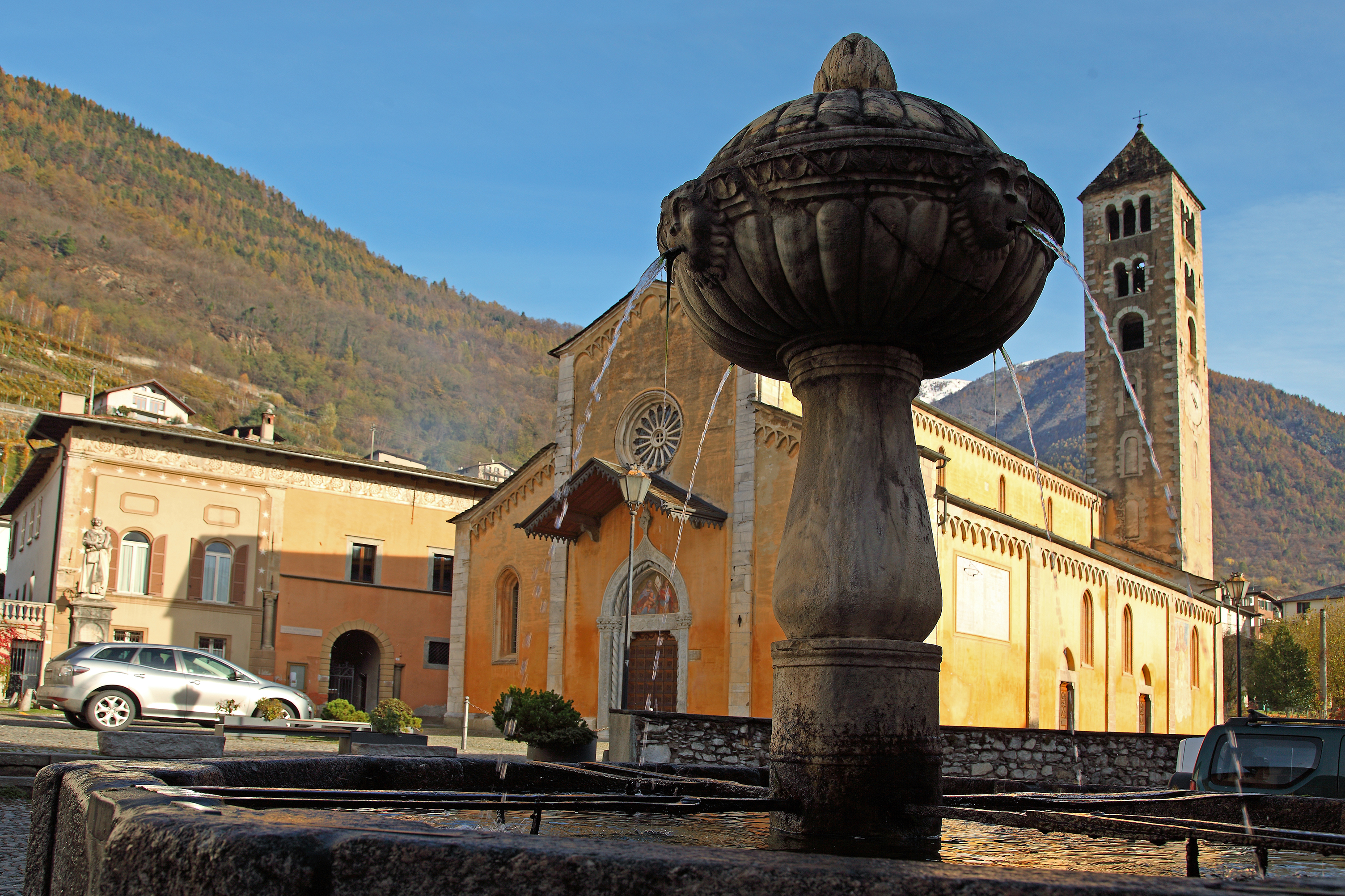
Chiesa di San Maurizio
9.7 km away, in Ponte in Valtellina
Ponte in Valtellina's parish church, with a Renaissance front and a tall campanile.
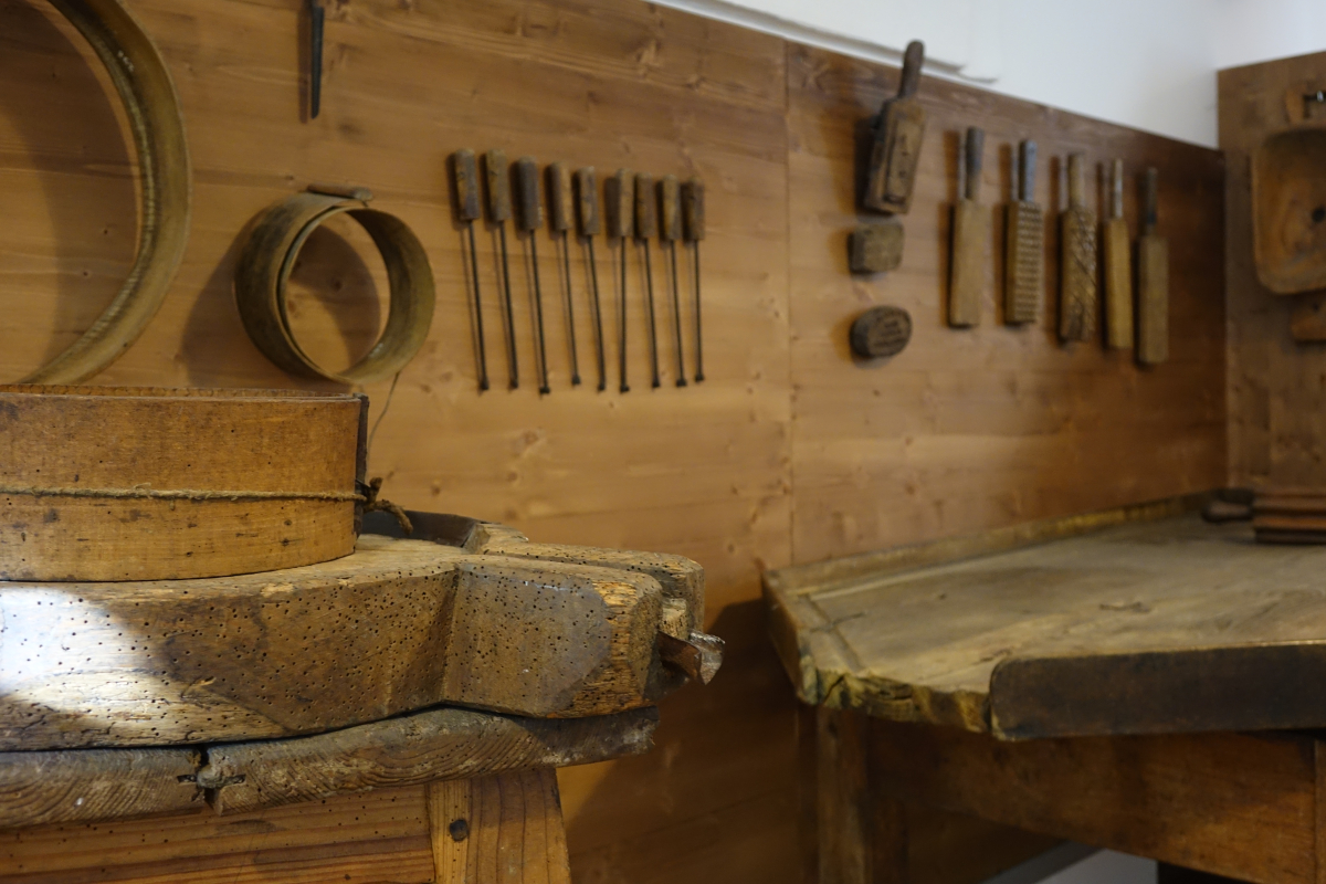
Museo parrocchiale ed etnografico di Ponte in Valtellina
9.9 km away, in Ponte in Valtellina
A parish and folk museum at Ponte in Valtellina: church silver beside the tools of the terraces.
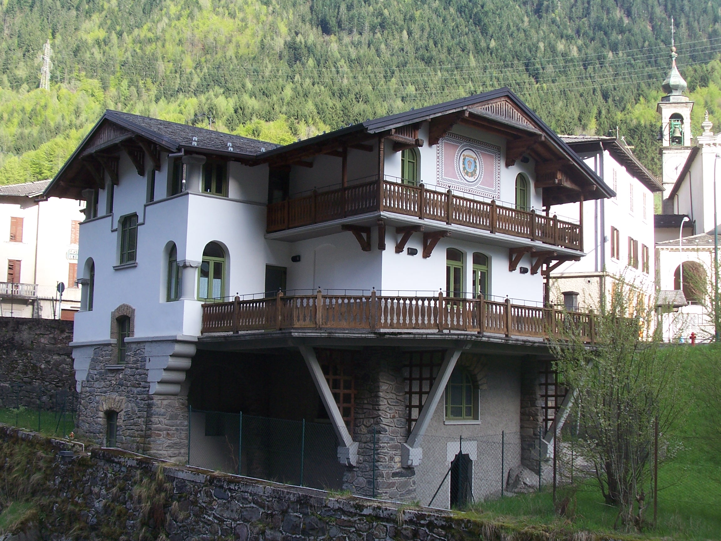
Museo dell’Identità e della Cultura Locale
11.2 km away, in Valbondione
A museum at Valbondione on shepherding, mining and life at the head of the Val Seriana.
Rifugi all'Alpe Mara
11.8 km away, in Montagna in Valtellina
Huts on the Alpe Mara above Montagna in Valtellina, on the Orobie slope.
Chiesa di San Bernardino
12.6 km away, in Valbondione
The church at Valbondione, at the foot of the path to the Serio waterfalls.
Chiesa dei SS. Giacomo e Andrea
9.6 km away, in Chiuro
Chiuro's parish church, among the Valtellina vineyards on the right bank of the Adda.
Nothing of this kind in Piateda.
Routes
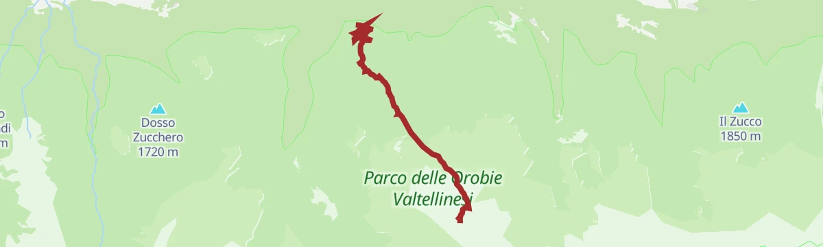
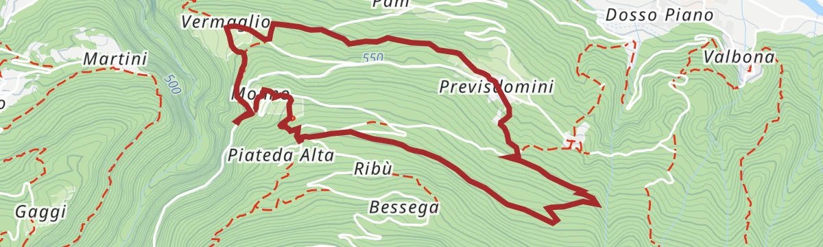
Dosso del Buon Vino and Li Malgini
A loop from Riboni above Piateda by way of the Dosso del Buon Vino to Pusterla, dropping to the Serio bridge and its glacial potholes.
- 3.6 km
- Distance
- 264 m
- Ascent
- 1 h 45 min
- Duration
Open route Valtellina OutdoorIl Sentiero Valtellina
The Colico end of the Sentiero Valtellina, where the route along the Adda leaves the head of Lake Como for the valley.
- 113.6 km
- Distance
- 1 108 m
- Ascent
- 28 h 24 min
- Duration
- 12
- Check-ins
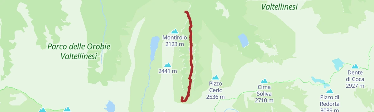
Il selvaggio Pizzo di Rodes
The ascent of the Pizzo di Rodes, a 2,829-metre summit set apart among the high Orobie just north of the Bergamo boundary, over the Valtellina.
- 9.2 km
- Distance
- 1 856 m
- Ascent
- 6 h 59 min
- Duration
- 14
- Check-ins
Con le pelli fin sul Pizzo Brunone
A ski-touring line to the Pizzo Brunone starting at Agneda, a hamlet left empty in winter with a fifteenth-century church of Sant'Agostino.
- 8.7 km
- Distance
- 1 791 m
- Ascent
- 301 m
- Descent
- 5 h 2 min
- Duration
- 1
- Check-ins
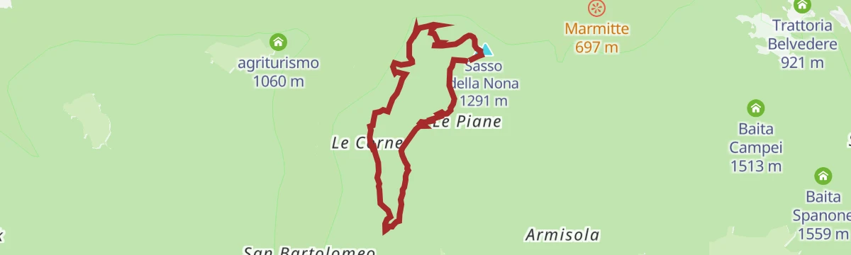
The Armisola Tour
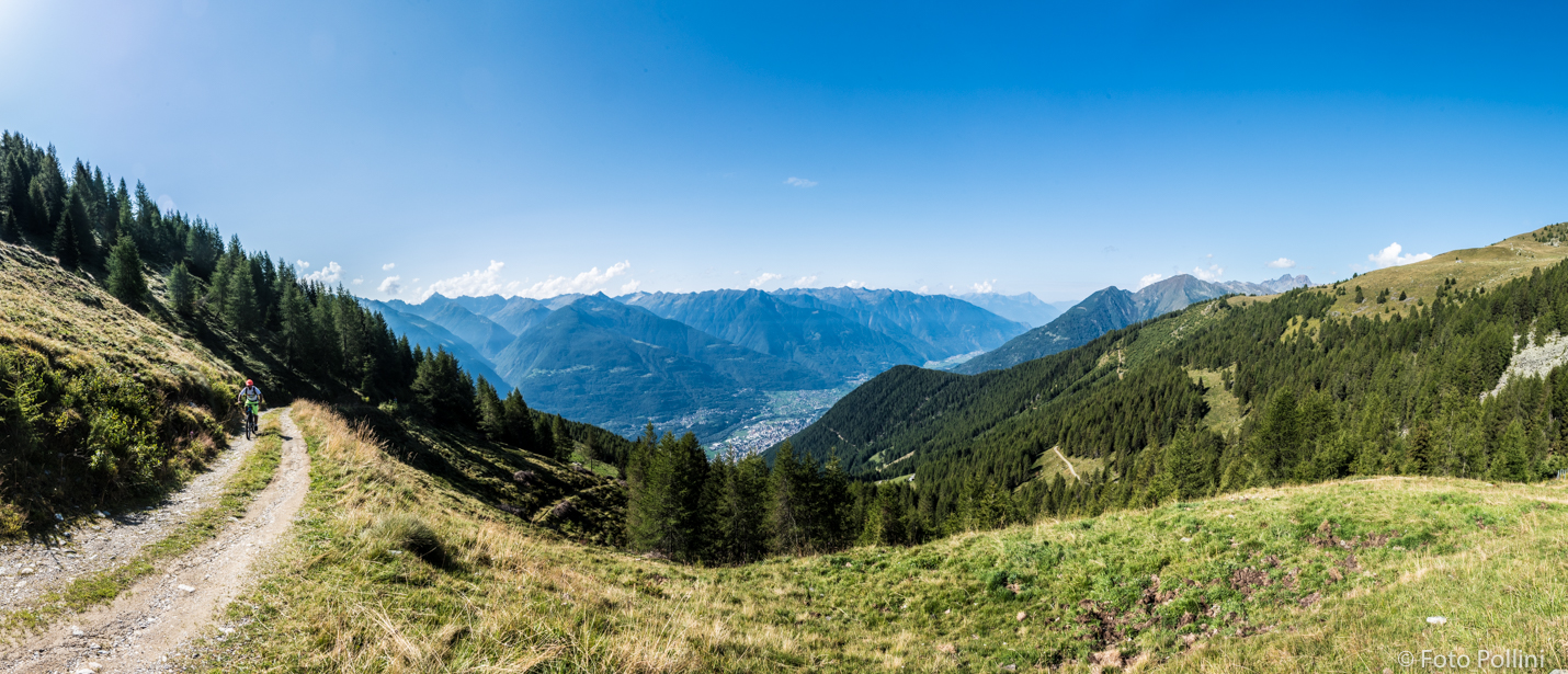
A mountain-bike ring from Gaggio di Piateda by forest road to the Le Piane hut and on to the Armisola pasture at 1,630 metres.
- 17.2 km
- Distance
- 658 m
- Ascent
- 2 h 9 min
- Duration
- 3
- Check-ins
Open route Valtellina OutdoorGravel rurale in Valtellina
A demanding gravel route from Sondrio to Villa di Tirano on the old terraced side of the Valtellina.
- 76.7 km
- Distance
- 1 775 m
- Ascent
- 8 h 28 min
- Duration
- 17
- Check-ins
 Ristorante da Silvio Fancoli 559 m
- Azienda Bondio Cristina 529 m
- Ristorante Belandin 675 m
- Convento di San Lorenzo 441 m
- Osteria al Sole 559 m
- Chiosco 286 m
- +3
Open route Valtellina OutdoorLe contrade della Sponda
An easy walk through the old hamlets on the Sponda slope, by the church of Sant'Antonio Abate at Piateda Alta and up to Prebottoni.
- 5.1 km
- Distance
- 196 m
- Ascent
- 1 h 41 min
- Duration
Open route Valtellina OutdoorRifugio Mambretti
The approach to the Mambretti hut in the Caronno valley, starting above Agneda and climbing past the Scais dam on trail 251.
- 5.1 km
- Distance
- 772 m
- Ascent
- 3 h 1 min
- Duration
- 3
- Check-ins
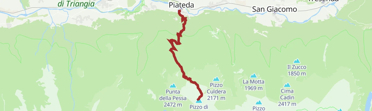
Open route Valtellina OutdoorPIATEDA-RODES
A vertical line from the square at Piateda to the 2,829-metre Pizzo di Rodes, by the Marmitte path, the Decauville and the Alpe Armisola.
- 12.7 km
- Distance
- 2 531 m
- Ascent
- 9 h 24 min
- Duration
- 14
- Check-ins
 Pizzo di Rodes 2 829 m
 Bocchetta di Santo Stefano 2 378 m
- Bocchetta del Reguzzo 2 621 m
- Rifugio A.N.A. Piateda 1 550 m
Open route Valtellina OutdoorPiateda, Vedello, Ambria (MTB-EMTB)
A long climb out of Piateda on asphalt as far as the Vedello turn-off, then unsurfaced road on to the old hamlet of Ambria.
- 26.7 km
- Distance
- 1 075 m
- Ascent
- 3 h 23 min
- Duration
Open route Valtellina OutdoorSentiero Valtellina
A valley-floor cycleway following the Adda upstream from the plain at Colico for well over 100 km into the upper Valtellina.
- 113.4 km
- Distance
- 1 068 m
- Ascent
- 10 h 43 min
- Duration
- 6
- Check-ins
- Agriturismo Rini 1 180 m
- Pro Loco 1 140 m
- A2A 504 m
- Visit Valtellina 434 m
- Il Bisteca - Agriturismo 242 m
Open route Valtellina OutdoorThe Orobie Decauville
A flat path on the bed of the narrow-gauge line that once served the Orobie dams, shaded and cooler than the valley below.
- 5.2 km
- Distance
- 30 m
- Ascent
- 1 h 17 min
- Duration
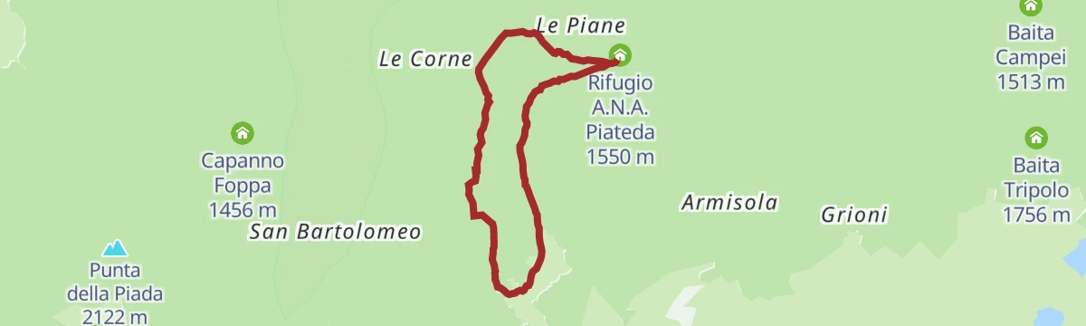
Open route Valtellina OutdoorTHE WATER WAY
A loop off the flat Decauville track up trail 255 to the Piane di Piateda, by way of Foppa and the hamlet of Cavrera.
- 6.2 km
- Distance
- 511 m
- Ascent
- 3 h 16 min
- Duration
- 3
- Check-ins
Open route Valtellina OutdoorGran Via delle Orobie stage 7 - Credaro path
A high stage from the Caprari hut in the Livrio valley over the Scoltador, Branda and Forcellino passes to the Mambretti hut in Val Scais.
- 17.7 km
- Distance
- 1 609 m
- Ascent
- 10 h 19 min
- Duration
- 4
- Check-ins
- Rifugio Luigi Mambretti 2 004 m
- Baita Cornascio 1 557 m
- Capanna Messa 1 546 m
- Baita Zocco 1 814 m
- Passo del Forcellino 2 240 m
- Baite Cìgola 1 874 m
- +5
Open route Valtellina OutdoorPiateda: up and down on MTB (short)
A dirt-road loop above the village, climbing past Valbona to Piateda Alta and the Dossi before dropping back down from Gaggio.
- 19.9 km
- Distance
- 806 m
- Ascent
- 2 h 32 min
- Duration
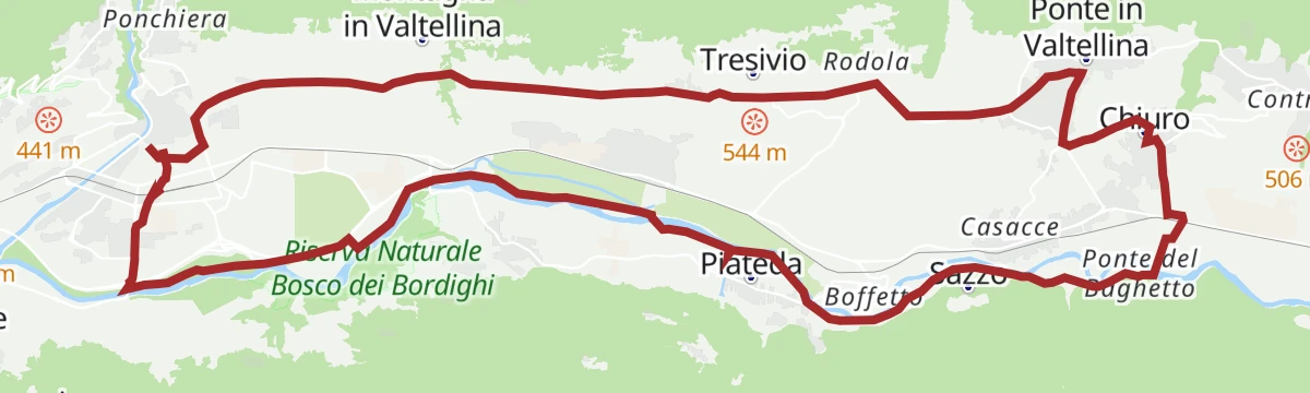
Open route Valtellina OutdoorSondrio - Chiuro
A wine route through vineyards and orchards from Sondrio by Ponte in Valtellina to Chiuro.
- 26.5 km
- Distance
- 274 m
- Ascent
- 2 h 37 min
- Duration
Open route Valtellina OutdoorTowards Pessa
A climb from the Le Piane hut, permit needed, west into the woods on trail 252 to the Alpe Pessa huts and the ridge above the Val Venina.
- 5.8 km
- Distance
- 431 m
- Ascent
- 2 h 51 min
- Duration
- 3
- Check-ins
Open route Valtellina OutdoorDoss Bili
A steep climb from the Gaggio basin by Burnich and the Dosso del Sole to the Doss Bilìi above Piateda, used in winter as well.
- 5.4 km
- Distance
- 995 m
- Ascent
- 3 h 44 min
- Duration
- 3
- Check-ins
Open route Valtellina OutdoorWine Bike Tour 6 - Storia
A route along the steep Rhaetian slope among terraced vineyards, old villages and their cellars.
- 26.1 km
- Distance
- 291 m
- Ascent
- 2 h 35 min
- Duration
TOWARDS CAMPIOLO and LE CORNE
A climb on trail 252 past the huts of Legno Marcio to the Campiolo pasture, with Sondrio below, returning by Corna Alta.
- 8.1 km
- Distance
- 612 m
- Ascent
- 4 h
- Duration
- 1
- Check-ins
Open route Valtellina OutdoorPiateda
A long climb out of Piateda into the Orobie side valleys above the Valtellina, on forest roads and old mule tracks.
- 34.0 km
- Distance
- 1 671 m
- Ascent
- 12 h 18 min
- Duration
- 3
- Check-ins
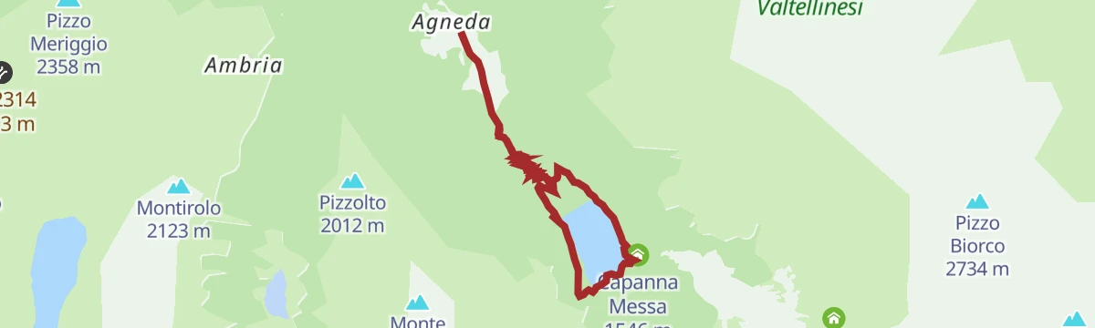
Il giro del lago di Scais
A circuit of the Scais reservoir in the Caronno valley, starting from the rest area above the hamlet of Agneda.
- 7.6 km
- Distance
- 336 m
- Ascent
- 2 h 37 min
- Duration
Alla scoperta della Val Venina
A long walk into the Val Venina above Piateda, from Ambria up past the dams to the pastures at the head of the valley.
- 21.9 km
- Distance
- 1 470 m
- Ascent
- 9 h 54 min
- Duration
Piateda Alta
A route from Prebottoni to the potholes of the Serio valley, then up an old mule track to Dossi and back along the Decauville.
- 8.1 km
- Distance
- 468 m
- Ascent
- 3 h 16 min
- Duration
Open route Valtellina OutdoorRing archaeological-mining site of the Val Venina
A long ring in the Val Venina above Piateda, taking in the excavated iron-working and mining sites in the valley.
- 22.3 km
- Distance
- 1 447 m
- Ascent
- 9 h 48 min
- Duration
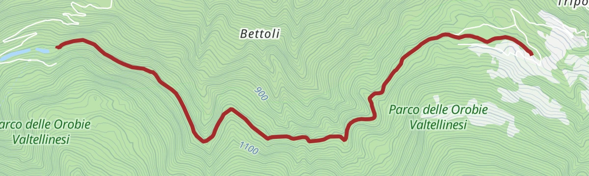
Open route Valtellina OutdoorThe Potholes Path
A steep cobbled mule track from Valbona past the church of San Vittore and the abandoned Bettoli houses to the giant potholes in the Serio bed.
- 3.6 km
- Distance
- 382 m
- Ascent
- 2 h 18 min
- Duration
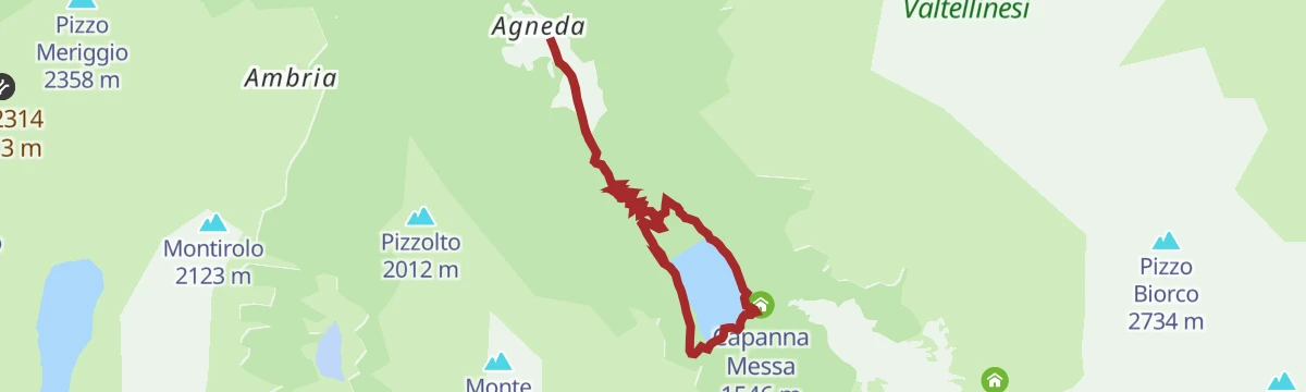
Open route Valtellina OutdoorThe route around Lake Scais
A family walk from the rest area above Agneda up to the Scais dam and right round the reservoir, with picnic spots on the shore.
- 7.6 km
- Distance
- 342 m
- Ascent
- 2 h 38 min
- Duration
Open route Valtellina OutdoorTo the Corne
A climb off the Decauville on trail 257 by Corna Bassa and Corna Alta to the Campiolo pasture, returning past Legno Marcio.
- 7.3 km
- Distance
- 628 m
- Ascent
- 3 h 59 min
- Duration
Open route Valtellina OutdoorVal Venina to discover the ancient smelting furnace
From the village of Ambria up a steep path by the Alpe Carè and the Venina steps to the dam, near an excavated smelting furnace.
- 7.6 km
- Distance
- 895 m
- Ascent
- 3 h 47 min
- Duration
Open route Valtellina OutdoorZappello Valley and Lucini bivouac.
A climb from Ambria on trail 253 into the Zappello valley, past a lake that forms with the snowmelt, to the Alpe Dossello huts and the Lucini bivouac.
- 5.7 km
- Distance
- 560 m
- Ascent
- 2 h 25 min
- Duration
Open route Valtellina Outdoor
No routes of this kind in Piateda yet.
The region's own picks
Featured route
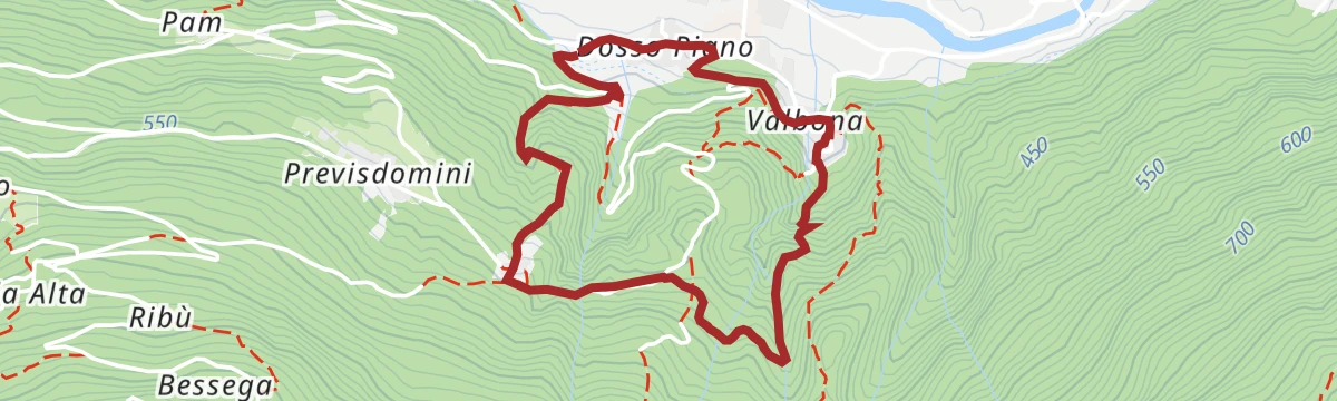
Dosso del Buon Vino and Li Malgini
A loop from Riboni above Piateda by way of the Dosso del Buon Vino to Pusterla, dropping to the Serio bridge and its glacial potholes.
Planning a trip to Piateda?
Everything else Lombardy has, in one place


Take Piateda with you into the mountains
Every route on this page with 3D terrain, GPX navigation and offline maps — including the valleys with no signal.
Data sources
- Official website: sondrioevalmalenco.it ↗
- Routes and highlights: Valtellina Outdoor, Sondrio e Valmalenco, in Lombardia, Val Seriana
- Published as open data by the tourist boards named above.
- Region summary generated from the board's own material.
