
Curated by Wipptal Tourismus
Pfons
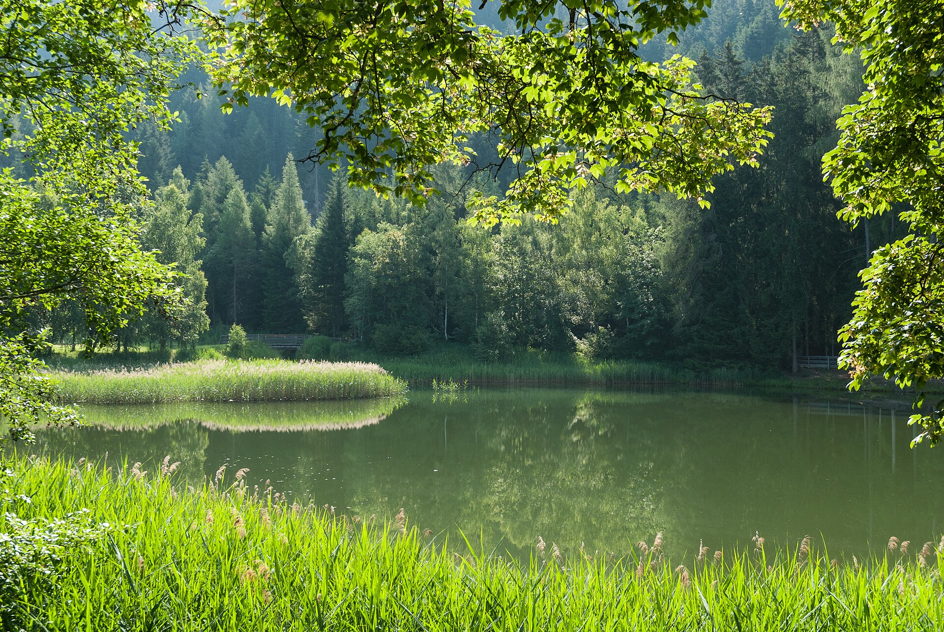
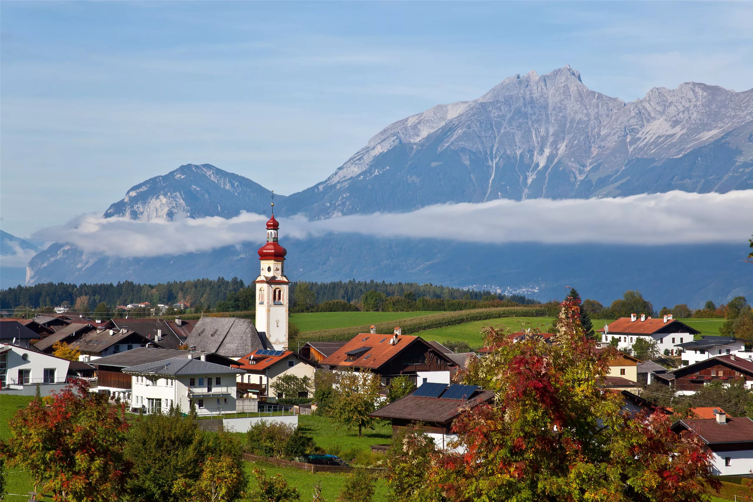
Former municipality on the east side of the Wipptal beside Matrei, part of Matrei am Brenner since 2022, with Schloss Trautson and its suspension bridge nearby.
- 15Highlights
- 14Routes
- Featured summit · Pfoner Kreuzjöchl
Highlights
All 15 from neighbouring places
Alpenvereinshütte Meissner Haus
6 km away, in Ellbögen
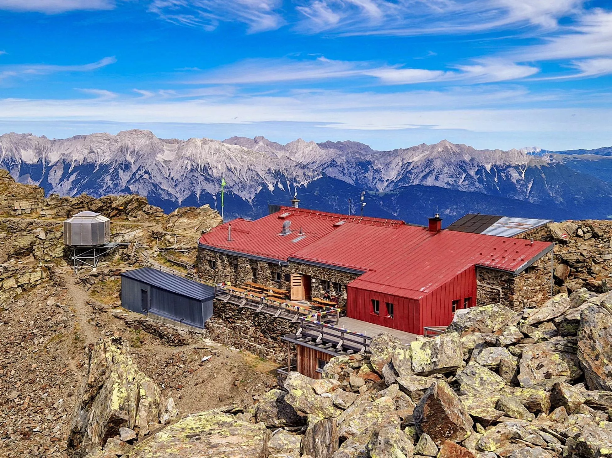
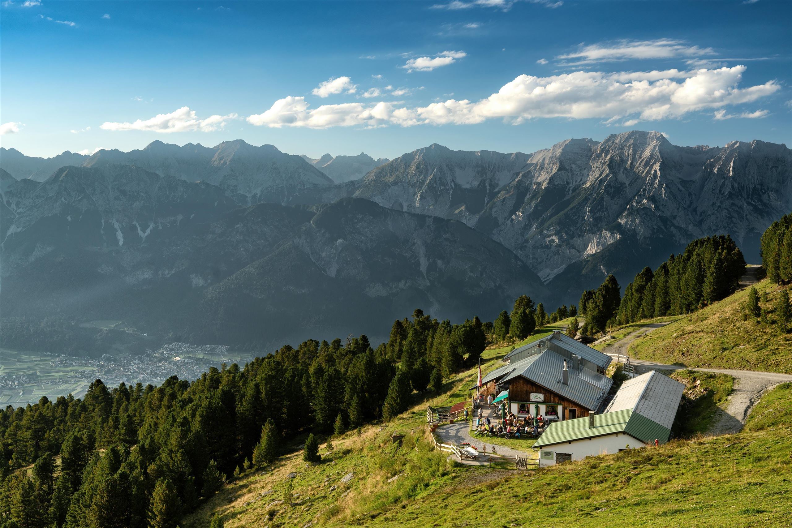
An Alpine Club hut in the Viggartal above Ellbögen, south of Innsbruck, offering meals and beds to walkers below the Glungezer ridge.
Maria Waldrast 1.640m
6.5 km away, in Mühlbachl
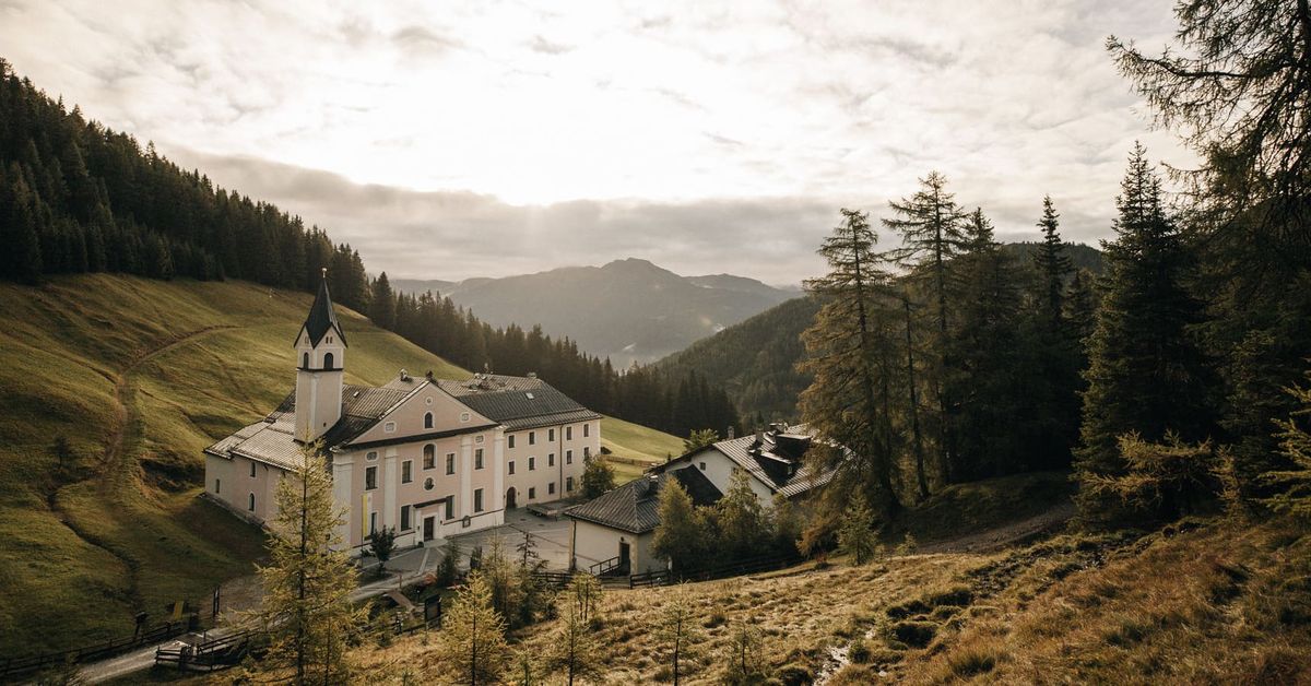
A Servite monastery and pilgrimage church at about 1,640 m below the Serles, with an inn and a spring long credited with healing powers.
Natur Resort Waldrast
6.5 km away, in Mühlbachl
A mountain inn beside the Maria Waldrast monastery below the Serles, reachable on foot or by toll road from Mühlbachl.
Naviser Hütte
6.6 km away, in Navis
A mountain hut in the Navis valley above the village of Navis, a destination for walkers in summer and tobogganers and ski tourers in winter.
Glungezer-Hütte 2610
6.9 km away, in Tulfes
A hut just below the Glungezer summit at 2,610 m above Tulfes, known for home cooking and as a stage on the long Zirbenweg ridge path.
Tulfeinalm
8.3 km away, in Tulfes
An alm near the top station of the Glungezer lifts above Tulfes, serving Austrian dishes to walkers on the Zirbenweg and to winter skiers.
Alpengasthof Halsmarter
10.7 km away, in Tulfes
An alpine inn at Halsmarter, the middle station of the Glungezer lifts above Tulfes, serving walkers and skiers on the way up the mountain.
Pfarrkirche Tulfes
11.9 km away, in Tulfes
The parish church of Tulfes at 923 m on the sunny plateau above the Inn valley, the centre of the village below the Glungezer.
Glungezerbahn
12 km away, in Tulfes
A lift system rising from Tulfes at 923 m towards the Glungezer, carrying walkers to the Zirbenweg stone-pine trail in summer and serving a small ski area in winter.
Bogenschießparcours Tulfes
13.1 km away, in Tulfes
A 3D archery course laid out in the woods near Tulfes, with targets along a walking circuit for beginners and practised archers alike.
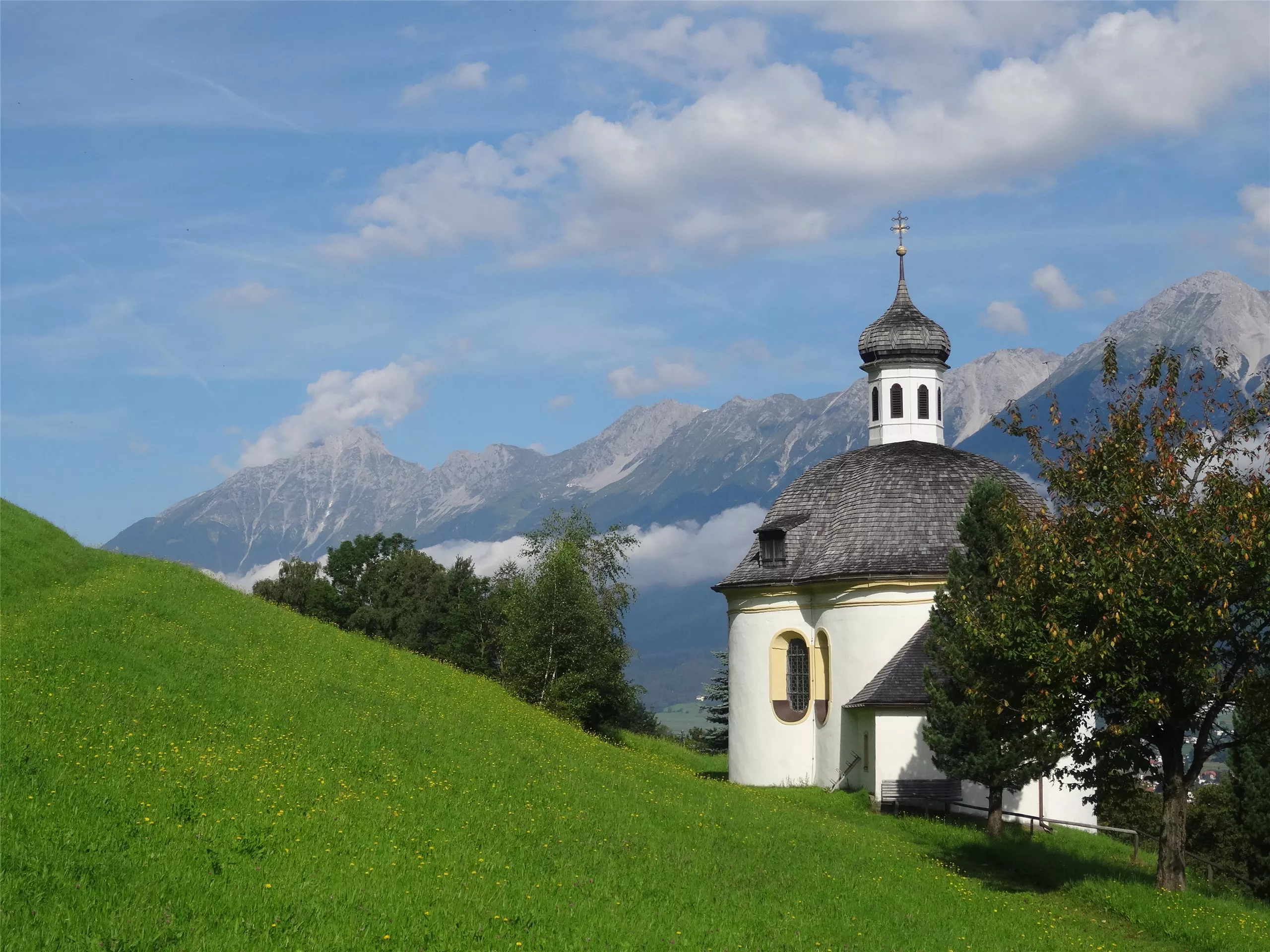
Borgiaskapelle
13.7 km away, in Tulfes
A small chapel near Tulfes dedicated to St Francis Borgia, a quiet wayside landmark on paths around the village.
Bremer Hütte
6.3 km away, in Steinach am Brenner
An Alpine Club hut at 2,413 m at the head of the Gschnitztal, crossed by the Stubai High Trail on its stage to the Nürnberger Hütte.
Ochsenhütte Mieders 1.582m
6.3 km away, in Mieders
A hut at 1,582 m above Mieders in the lower Stubaital, a refreshment stop on walks in the Serles area.
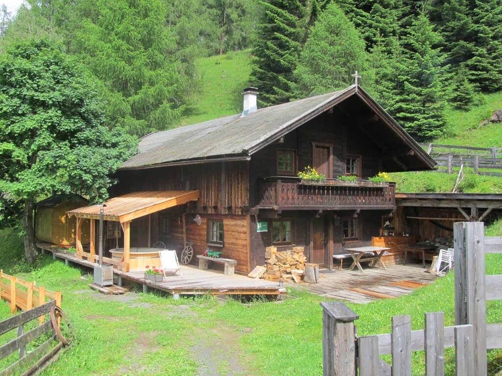
Gullenhütte
7.1 km away, in Mieders
A small hut on a farm above Mieders in the lower Stubaital, offering simple refreshment and farm-holiday lodging.
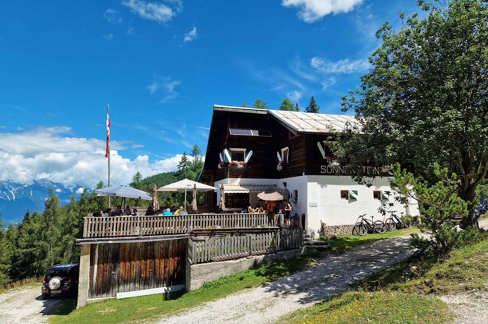
Alpengasthof Sonnenstein 1.400m
8 km away, in Mieders
A mountain inn at about 1,400 m above Mieders, sitting on a sunny terrace of the lower Stubaital.

 Cable car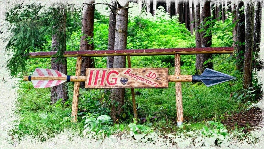

Nothing of this kind in Pfons.
Routes
Rundweg Pfons - Matrei
Easy loop linking Pfons with the market village of Matrei am Brenner, starting straight from the Matrei railway station; a gentle Wipptal valley round.
- 4.3 km
- Distance
- 106 m
- Ascent
- 1 h 16 min
- Duration
- 1
- Check-ins
Ellbögen - Arztaler Alm
Walk from Ellbögen into the quiet Arztal to the Arztalalm hut, with an optional continuation toward the Rosenjochhütte higher up the valley.
- 8.8 km
- Distance
- 541 m
- Ascent
- 3 h 43 min
- Duration
- 2
- Check-ins
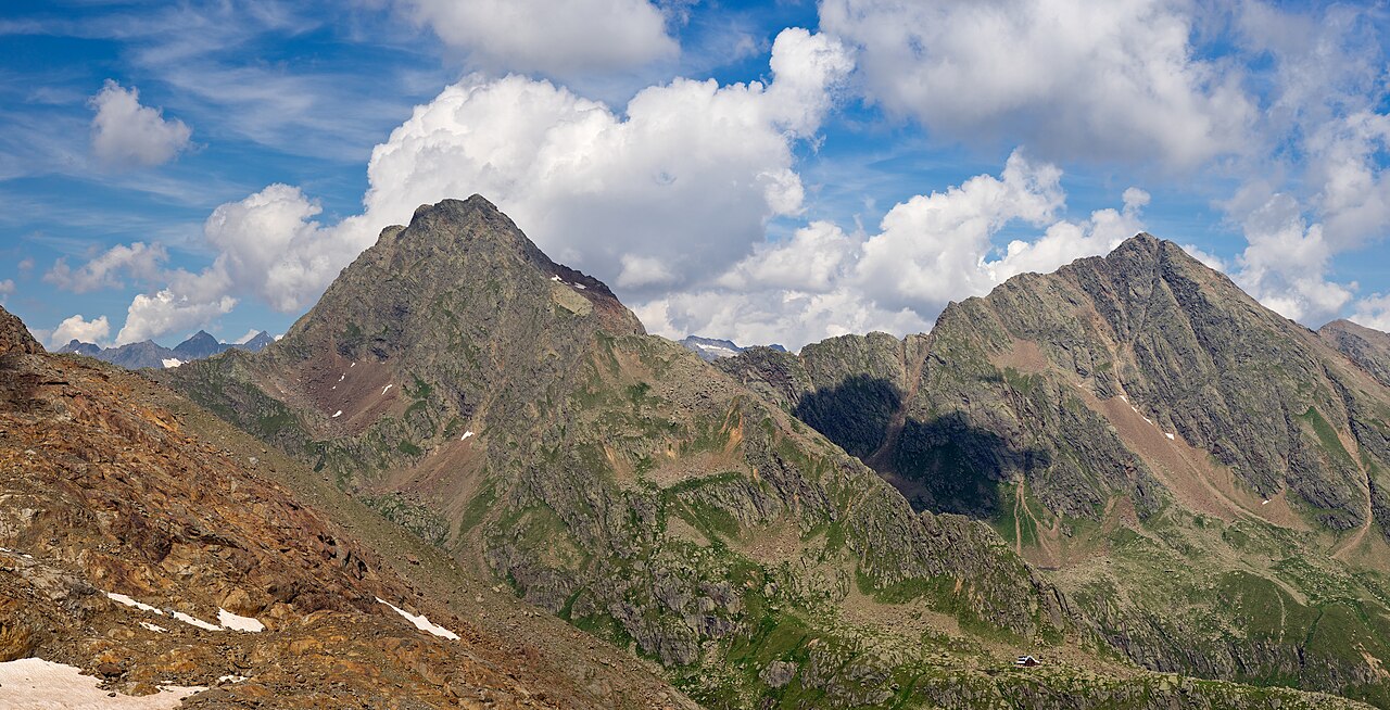
Pfoner Kreuzjöchl - Mislkopf
Big Wipptal ridge day from Pfons past the Berglermühle and the Untersee onto the Pfoner Kreuzjöchl and along to the Mislkopf, with around 1,700 m of climbing.
- 22.4 km
- Distance
- 1 744 m
- Ascent
- 11 h 19 min
- Duration
- 4
- Check-ins
508 Mountainbike Maria Waldrast
A short but steep forest-road climb from Matrei am Brenner in the Wipptal up to Maria Waldrast at 1,635 m.
- 7.7 km
- Distance
- 671 m
- Ascent
- 1 h 37 min
- Duration
- 13
- Check-ins
Transalp - Sektion Hall - Brenner
A cross-Alpine stage that leaves the Inn valley over the Goldbichl at Rinn, then works up the Wipptal past Matrei and Steinach.
- 38.1 km
- Distance
- 935 m
- Ascent
- 4 h 5 min
- Duration
- 10
- Check-ins
Fernradweg München-Venezia: 2. Abschnitt, die Schatzkiste Tirol
A long-distance stage down the Inn valley to Innsbruck and then up the Wipptal to the Brenner Pass, with rail stops at Pill-Vomperbach and Steinach.
- 82.0 km
- Distance
- 1 563 m
- Ascent
- 8 h 45 min
- Duration
- 33
- Check-ins
Rundweg Schöfens - Matrei
Easy circuit between the hamlet of Schöfens and Matrei am Brenner, an unhurried Wipptal round starting near the Pfons village parking.
- 5.0 km
- Distance
- 178 m
- Ascent
- 1 h 36 min
- Duration
- 1
- Check-ins
Rundweg St. Michael - Matrei - St. Kathrein
Loop around Matrei am Brenner connecting St. Michael and St. Kathrein, a half-day round with moderate climbing on the slopes above the Wipptal.
- 8.2 km
- Distance
- 317 m
- Ascent
- 2 h 42 min
- Duration
- 1
- Check-ins
Wipptaler Wanderweg
Demanding stretch of the Wipptal walking route starting from Ellbögen St. Peter, climbing high over the valley flank with around 1,500 m of ascent.
- 33.2 km
- Distance
- 1 526 m
- Ascent
- 11 h 33 min
- Duration
- 2
- Check-ins
521 Mountainbikeweg Pfoner Almenrunde
A high alm circuit above the Wipptal, climbing from the Berglermühle to the Frontalalm and the Pfoner Ochsenalm at over 2,100 m.
- 13.2 km
- Distance
- 1 215 m
- Ascent
- 2 h 53 min
- Duration
Innsbruck Hochplateau Ride
A demanding tour over the terraces above the Inn valley, taking in the Goldbichl and a string of mid-mountain farms and inns.
- 107.7 km
- Distance
- 2 530 m
- Ascent
- 11 h 57 min
- Duration
- 21
- Check-ins
Wanderung Obersee
Steep short hike from Pfons up to the Untersee and on to the Obersee, two small mountain lakes tucked into the slopes above the Wipptal.
- 5.3 km
- Distance
- 698 m
- Ascent
- 4 h 6 min
- Duration
 Obersee 1 702 m
- Untersee 1 486 m
30a Wipptalradweg über Römerstraße
A long ride between Steinach am Brenner and the Patscherkofelbahn base station, following the old Roman road above the Wipptal past the Goldbichl.
- 34.5 km
- Distance
- 1 172 m
- Ascent
- 4 h 10 min
- Duration
- 6
- Check-ins
Radtour auf der alten Römerstraße
A road ride linking Igls with Ellbögen along the line of the old Roman road, passing the Goldbichl and its climbing crag.
- 30.6 km
- Distance
- 907 m
- Ascent
- 3 h 34 min
- Duration
- 2
- Check-ins
 Goldbichl 1 062 m
 Tourismusbüro Igls 870 m
- Kneippanlage 868 m
- Grünwalderhof 1 014 m


No routes of this kind in Pfons yet.
The region's own picks
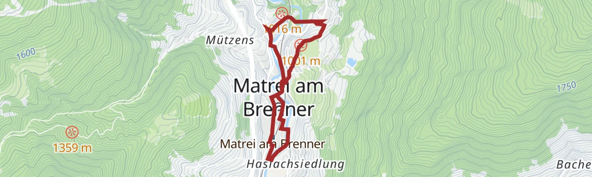
Featured route
Rundweg Pfons - Matrei
Easy loop linking Pfons with the market village of Matrei am Brenner, starting straight from the Matrei railway station; a gentle Wipptal valley round.
Planning a trip to Pfons?
Everything else Tyrol has, in one place


Take Pfons with you into the mountains
Every route on this page with 3D terrain, GPX navigation and offline maps — including the valleys with no signal.
Data sources
- Official website: wipptal.at ↗
- Routes and highlights: Wipptal Tourismus, Region Hall-Wattens, Tourismusverband Stubai Tirol, Innsbruck Tourismus
- Published as open data by the tourist boards named above.
- Region summary generated from the board's own material.
