
 Historic site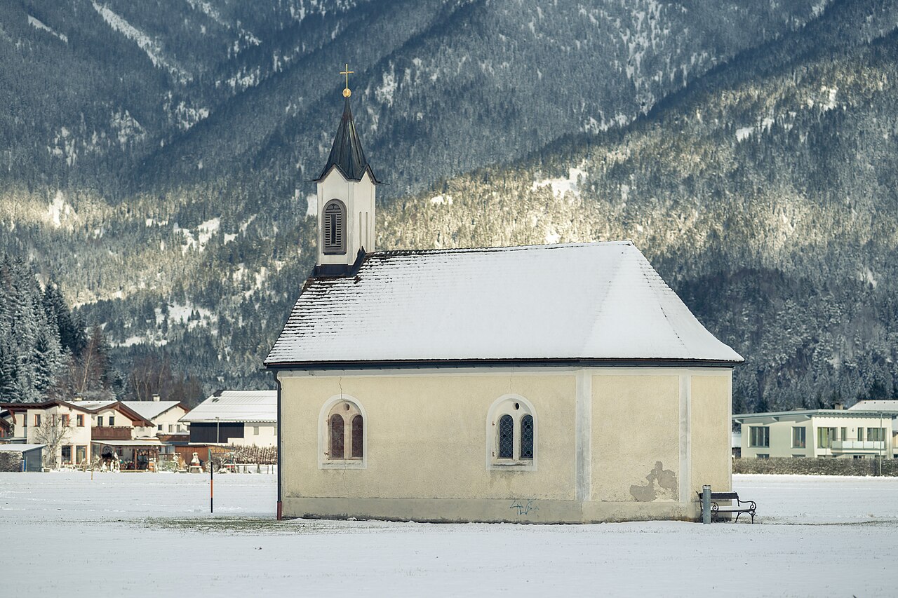









Curated by Naturparkregion Reutte
Pflach
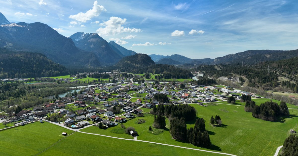
On the Lech just north of Reutte where the valley flattens into wetlands, its river meadows a bird reserve watched from observation towers.
- 1Highlights
- 21Routes
- Featured summit · Säuling
Highlights
14 from neighbouring places
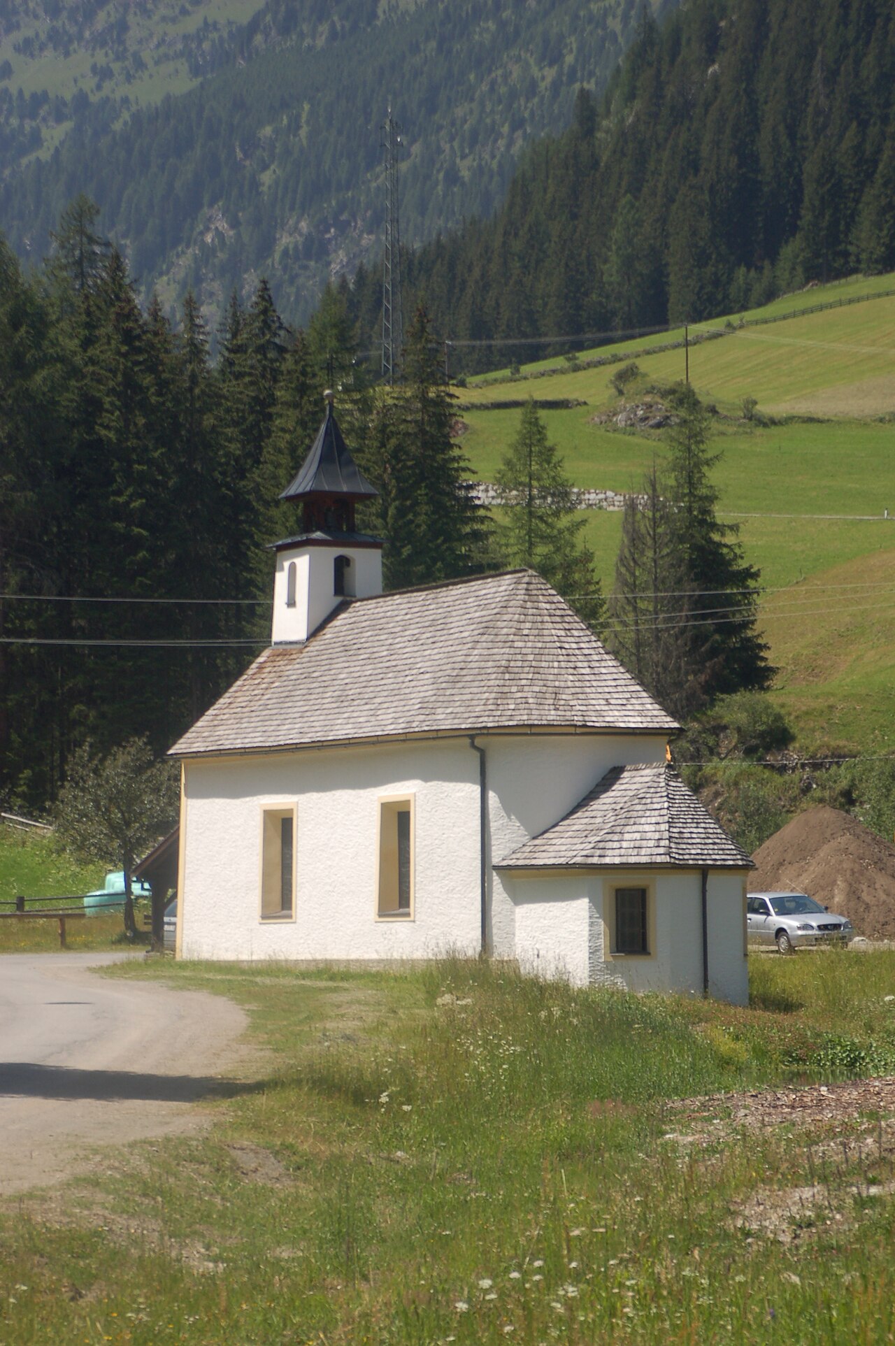
Mariahilf Kapelle
A Mariahilf chapel at Pflach near Reutte, a small Marian devotional building beside the paths through the Lech valley floor.
Frauensee
2.2 km away, in Lechaschau
A secluded bathing lake in the woods near Lechaschau above Reutte, a quiet swimming and walking destination in the nature park region.
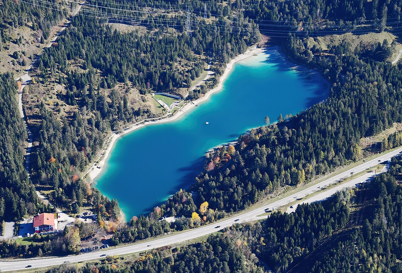
Urisee
2.9 km away, in Reutte
A small bathing lake in the forest above Reutte, warm enough for summer swimming and circled by an easy walking path.
Dürrenberg Alm
2.9 km away, in Reutte
A pasture hut in the hills between Reutte and the Plansee, reached on foot or by bike from the valley.
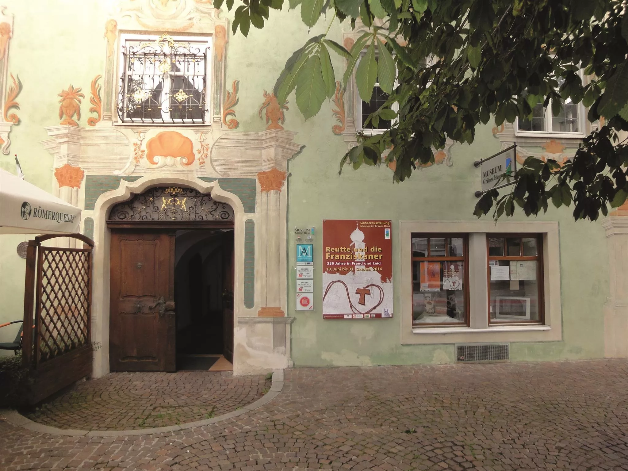
Museum im "Grünen Haus"
3.2 km away, in Reutte
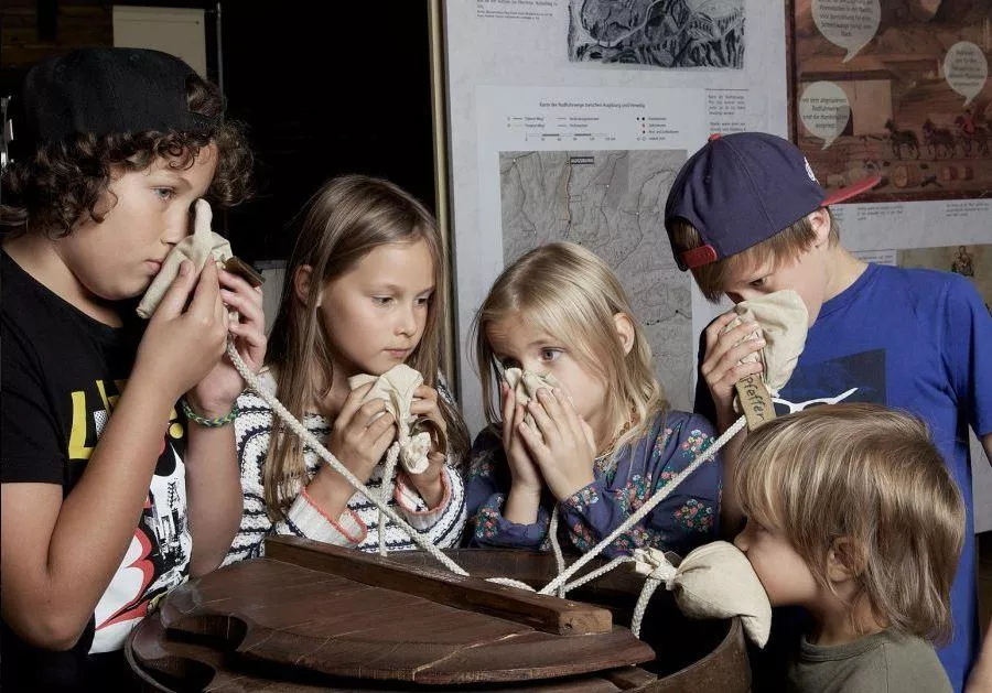
The regional museum in Reutte's Green House, a historic painted town house with collections on the art and history of the Ausserfern district.
Ottilienkapelle
3.3 km away, in Lechaschau
A chapel dedicated to St Ottilia at Lechaschau near Reutte, part of the dense network of chapels in the Lech valley villages.
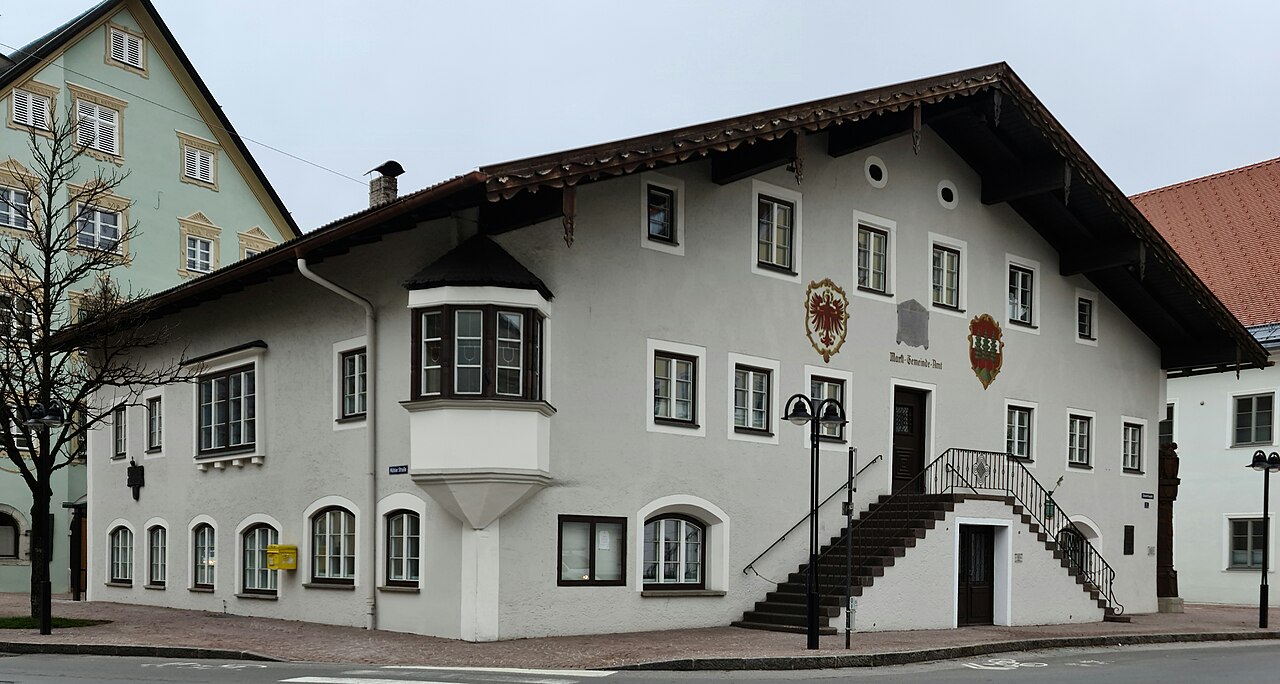
Marktgemeindeamt und Nagelsäule
3.4 km away, in Reutte
Reutte's market-town hall with the Nagelsäule, a First World War column into which donors drove nails to fund relief for soldiers' families.
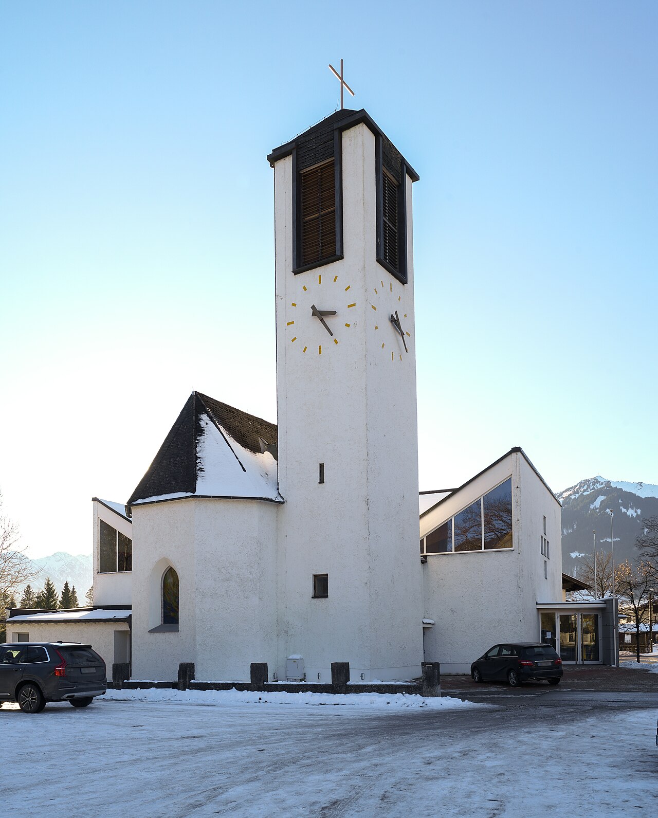
Hl.-Geist-Kirche
3.6 km away, in Reutte
The parish church of Lechaschau, dedicated to the Holy Spirit, standing across the Lech from the market town of Reutte.
Alpentherme Ehrenberg
4 km away, in Reutte
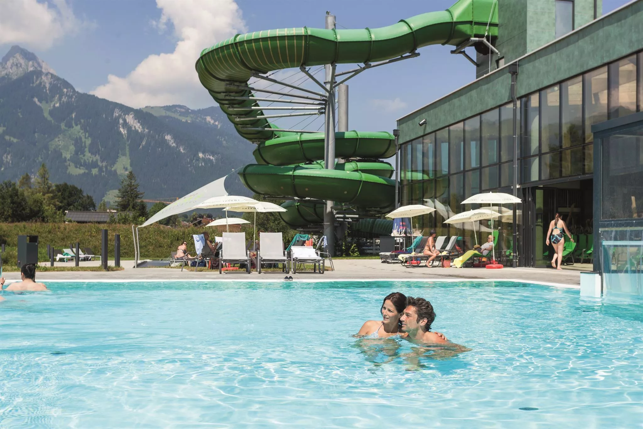
An indoor pool and wellness complex near the Ehrenberg castle ensemble at Reutte, a family swimming option at the mouth of the Lechtal.
highline179
6.1 km away, in Reutte
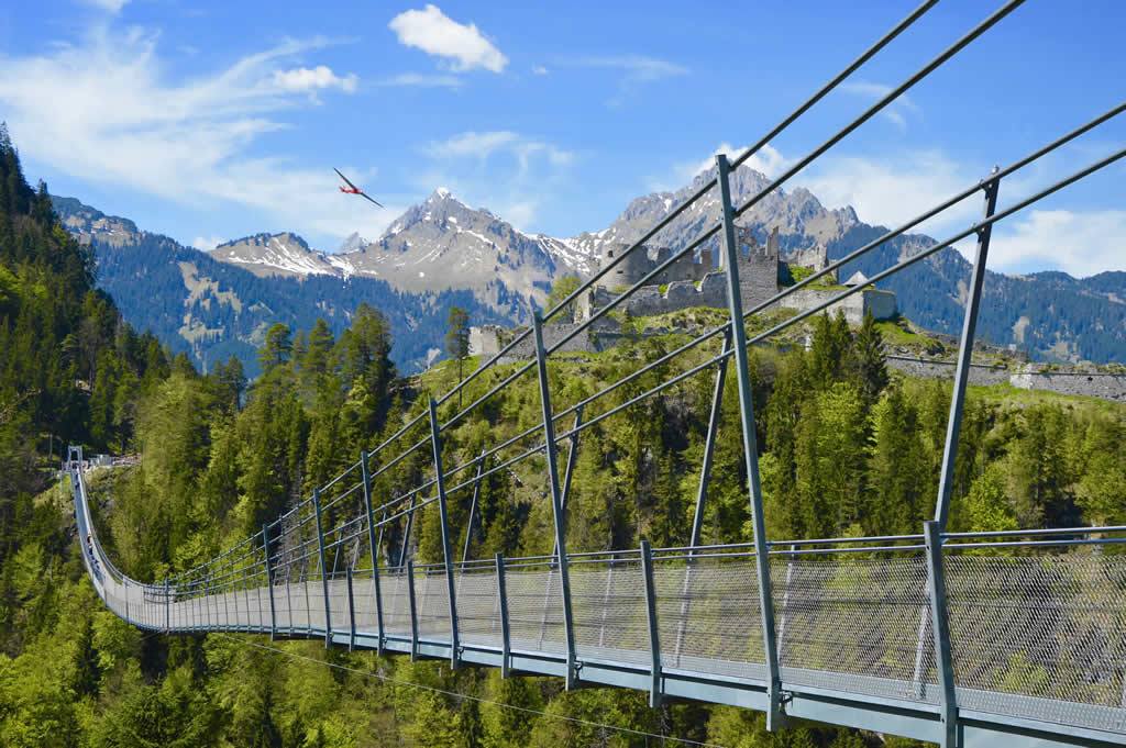
A pedestrian suspension bridge spanning the valley between the Ehrenberg castle ruins and Fort Claudia near Reutte, over 400 m long.
Festung Klause
6.2 km away, in Reutte
The fortified toll station at the foot of the Ehrenberg castle ensemble near Reutte, which once controlled the road through the narrow valley.
Festung Schlosskopf
6.2 km away, in Reutte
An 18th-century fortress on the Schlosskopf hill above the Ehrenberg castle ensemble near Reutte, built to command the older works below.
Burgenwelt Ehrenberg
6.2 km away, in Reutte
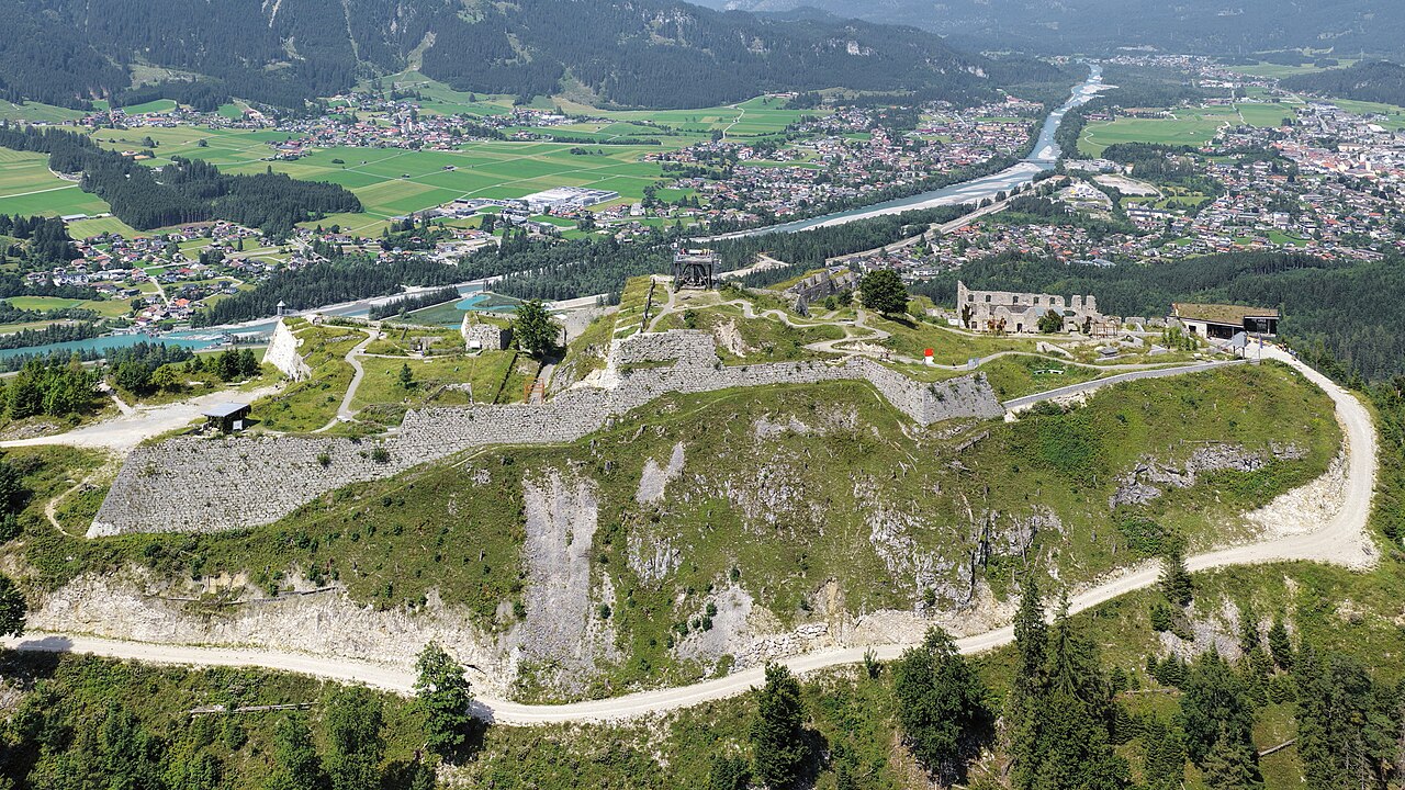
The Ehrenberg castle ensemble near Reutte, with medieval ruins, a fort museum and the highline179 pedestrian suspension bridge.
Füssener Hütte
7.8 km away, in Musau
A mountain hut in the Tannheim range above Musau, a starting point for walks and climbs on the surrounding limestone peaks.
Plansee
8.9 km away, in Reutte
A large fjord-like lake east of Reutte at Breitenwang, joined to the Heiterwanger See by a narrow channel and cruised by excursion boats.
Nothing of this kind in Pflach.
Routes
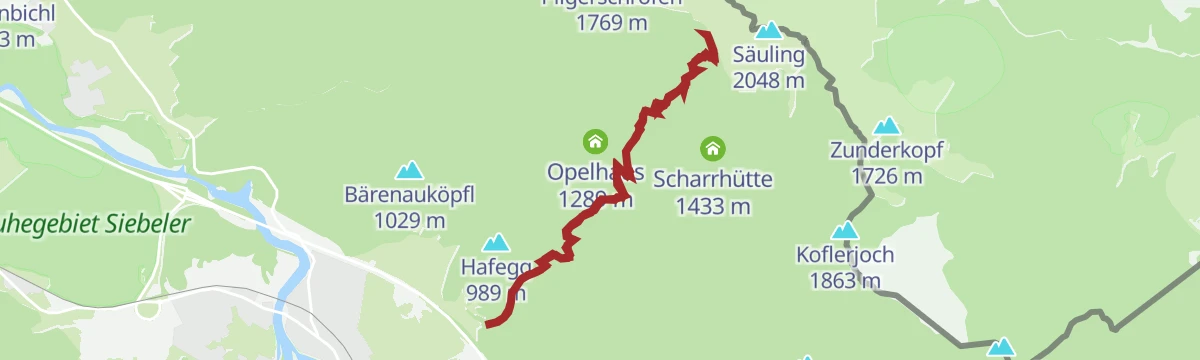
Gipfelwanderung Säuling ab Säulinghaus
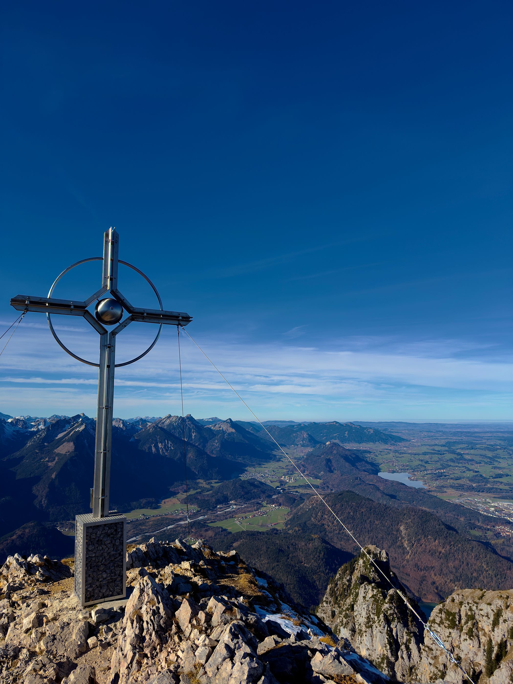
Summit leg from the Naturfreundehaus below the peak: a steep but short 300 m push to the cross overlooking Füssen and the royal castles.
- 2.2 km
- Distance
- 324 m
- Ascent
- 1 h 52 min
- Duration
- 30
- Check-ins
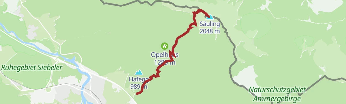
Wanderung zum Säulinghaus
Steady forest climb of 800 m to the Naturfreundehaus perched below the Säuling's cliffs - a hut goal in itself, or the staging post for the summit.
- 7.7 km
- Distance
- 800 m
- Ascent
- 4 h 53 min
- Duration
- 13
- Check-ins
Gipfelwanderung Säuling (2.048m)
Demanding ascent of Füssen's landmark 2,048 m pyramid from the Tirolean side, with the Naturfreundehaus as the break point before the steep final slopes.
- 9.4 km
- Distance
- 1 115 m
- Ascent
- 6 h 39 min
- Duration
- 30
- Check-ins
Gravelbike Tour 1.5 - Fünf Seen Runde
A long gravel loop north from Reutte through Pflach and Rieden to the Plansee, passing the Speckbacherhütte and the Karlift.
- 49.4 km
- Distance
- 706 m
- Ascent
- 5 h 3 min
- Duration
- 16
- Check-ins
 Speckbacherhütte 978 m
- Karliftstüberl 1 054 m
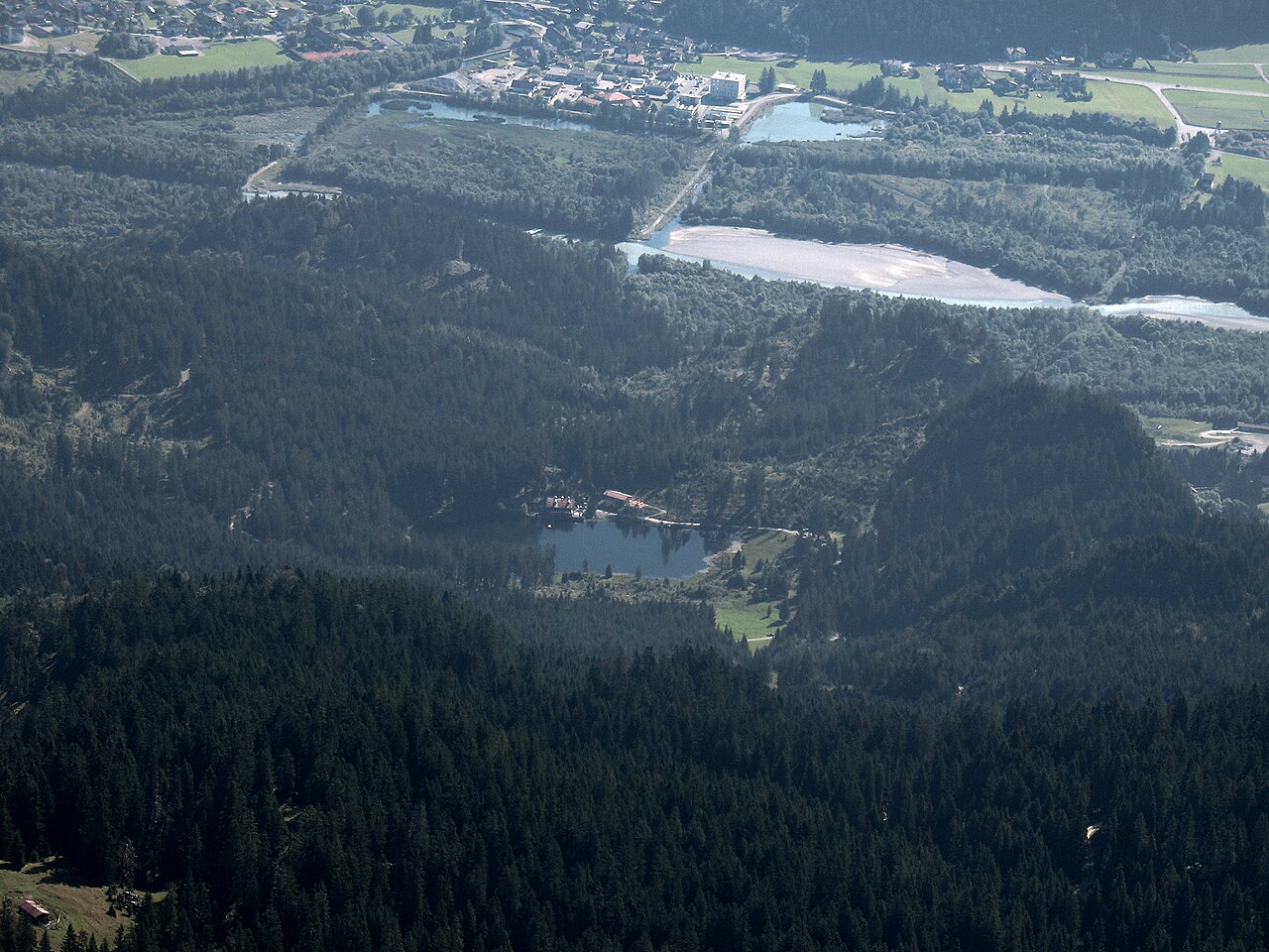
 Hüttenmühlsee 843 m
- Neuwaldalpe 1 111 m
- Kuhklause 1 109 m
Oberjochrunde
A long road circuit from Vils over the Oberjochpass at 1,150 m, crossing the Wertach-Iller watershed and passing the Wiedhag-Alpe.
- 82.7 km
- Distance
- 1 101 m
- Ascent
- 8 h 22 min
- Duration
- 194
- Check-ins
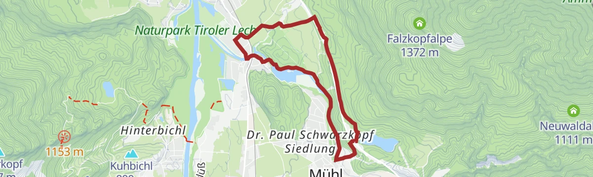
Panoramawanderung Urisee - Pflach
Easy view-rich route from the Urisee across to Pflach, dropping past the Hüttenmühlsee with the Reutte basin spread out along the way.
- 5.8 km
- Distance
- 153 m
- Ascent
- 1 h 44 min
- Duration
- 1
- Check-ins
- KST. Kraftwerk Hüttenmühle 845 m
- Hüttenmühlsee 843 m
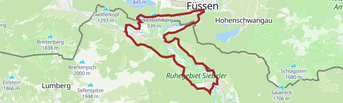
Lechweg - Klassische Variante - Etappe 7 - Wängle bis Füssen
Final classic Lechweg stage from Wängle over the Kalvarienberg and Hutlersberg, past the hidden Frauensee and through the Kniepass to Füssen, where the river leaves the Alps; a long day with a wide panorama over the Reutte basin.
- 24.6 km
- Distance
- 788 m
- Ascent
- 7 h 50 min
- Duration
- 27
- Check-ins
Zum Alatsee | MTB Tour
A mostly flat mountain-bike run from the Lech valley over the Vilser Scharte to the Alatsee, past the Bärenfalle and the Weißwand crag.
- 28.1 km
- Distance
- 345 m
- Ascent
- 2 h 49 min
- Duration
- 5
- Check-ins
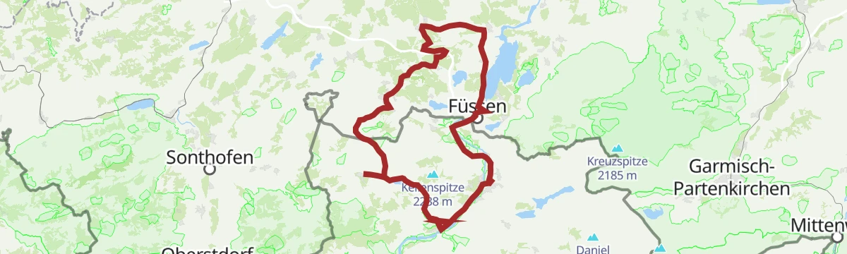
Bannwaldseerunde
A long road tour from the Lech valley over to Füssen and Hohenschwangau, returning through the Tannheimer Tal past the Haldensee.
- 95.3 km
- Distance
- 1 155 m
- Ascent
- 9 h 32 min
- Duration
- 127
- Check-ins
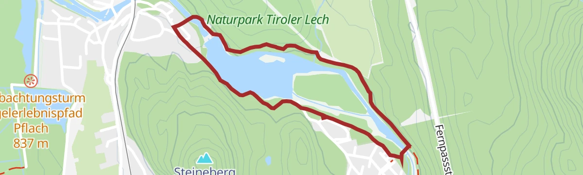
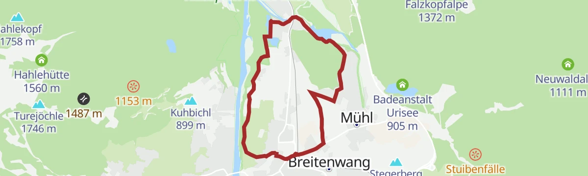
Rund um den Hüttenmühlsee | Barrierefrei
Barrier-free circuit of the Hüttenmühlsee near Pflach, a flat lakeside loop past the small Hüttenmühle power station — fully accessible.
- 2.1 km
- Distance
- 41 m
- Ascent
- 36 min
- Duration
- 1
- Check-ins
- KST. Kraftwerk Hüttenmühle 845 m
- Hüttenmühlsee 843 m
Lechweg - Gemütliche Variante - Etappe 8 - Pflach bis Füssen im Allgäu
The final stage of the Lechweg, from Pflach over the Kniepass and the Kalvarienberg into Füssen im Allgäu, where the long-distance trail ends at the Lechfall.
- 15.3 km
- Distance
- 529 m
- Ascent
- 4 h 55 min
- Duration
- 21
- Check-ins
Gravelbike Tour 1.1 - Rund um die Tannheimer Berge
A long gravel circuit right around the Tannheimer Berge, from Hohenschwangau past the Alatsee and back below the Tannheimer Hütte valley station.
- 80.7 km
- Distance
- 1 573 m
- Ascent
- 8 h 38 min
- Duration
- 114
- Check-ins
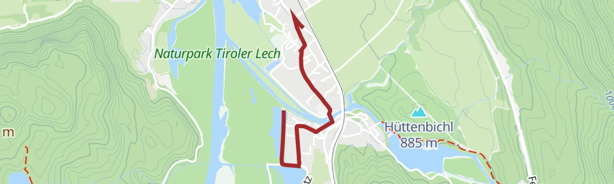
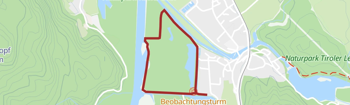
Am Vogelerlebnispfad Pflacher Au
Flat nature trail through the Pflacher Au wetlands, where information stations introduce the birdlife of the Lech floodplain.
- 1.5 km
- Distance
- 5 m
- Ascent
- 22 min
- Duration
Via Claudia Augusta Weitwanderweg
Reutte-district leg of the ancient Roman road across the Alps, passing the Kniepass and the Pavillon Blickwinkel along the Lech - more a long march than a climb.
- 18.6 km
- Distance
- 482 m
- Ascent
- 5 h 33 min
- Duration
- 5
- Check-ins
- Pavillon Blickwinkel 803 m
- Earschbach 821 m
 Kniepass 872 m
Forggenseerunde
A ninety-kilometre road loop from Vils to the Forggensee at Füssen, coming back through the Tannheimer Tal past the Haldensee.
- 92.7 km
- Distance
- 1 385 m
- Ascent
- 9 h 32 min
- Duration
- 106
- Check-ins
Rundwanderung auf dem Vogellehrpfad
A short loop on the bird-themed nature trail at Pflach, level throughout and easily combined with a pause at the observation points.
- 1.7 km
- Distance
- 5 m
- Ascent
- 25 min
- Duration
Gaichtpassrunde
A road loop over the Gaichtpass into the Tannheimer Tal, passing the Haldensee and the Altes Zollhaus before the descent back to the Lech.
- 56.5 km
- Distance
- 732 m
- Ascent
- 5 h 42 min
- Duration
- 93
- Check-ins
Steinebergrunde vom Zeillerplatz
Easy loop from the Zeillerplatz in Reutte around the Steineberg area, passing the Hüttenmühlsee on almost entirely level paths.
- 6.7 km
- Distance
- 29 m
- Ascent
- 1 h 39 min
- Duration
- Hüttenmühlsee 843 m
Highlighttour Musau - Pinswang - Vils | Radtour
A rolling tour through the Vils and Pinswang side of the Lech valley, over the Kniepass and the Vilser Scharte to the Alatsee.
- 30.0 km
- Distance
- 505 m
- Ascent
- 3 h 8 min
- Duration
- 32
- Check-ins
Gravelbike Tour 1.5 - Fünf Seen Runde
A fifty-kilometre lake circuit on gravel and quiet lanes out of Reutte, with the Lech at Spirkenhof and the Karliftstüberl.
- 49.4 km
- Distance
- 1 053 m
- Ascent
- 5 h 22 min
- Duration
- 16
- Check-ins
- Speckbacherhütte 978 m
- Karliftstüberl 1 054 m
- Hüttenmühlsee 843 m
- Neuwaldalpe 1 111 m
- Kuhklause 1 109 m
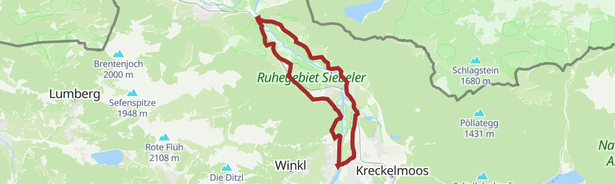
Lechradweg & VCA-Radweg Schnuppertour | Radtour
A short taster on the Lech valley cycle paths between Reutte, Pflach and the Kniepass, on the way to the Ulrichsbrücke.
- 19.4 km
- Distance
- 213 m
- Ascent
- 1 h 55 min
- Duration
- 1
- Check-ins
No routes of this kind in Pflach yet.
The region's own picks
Featured route
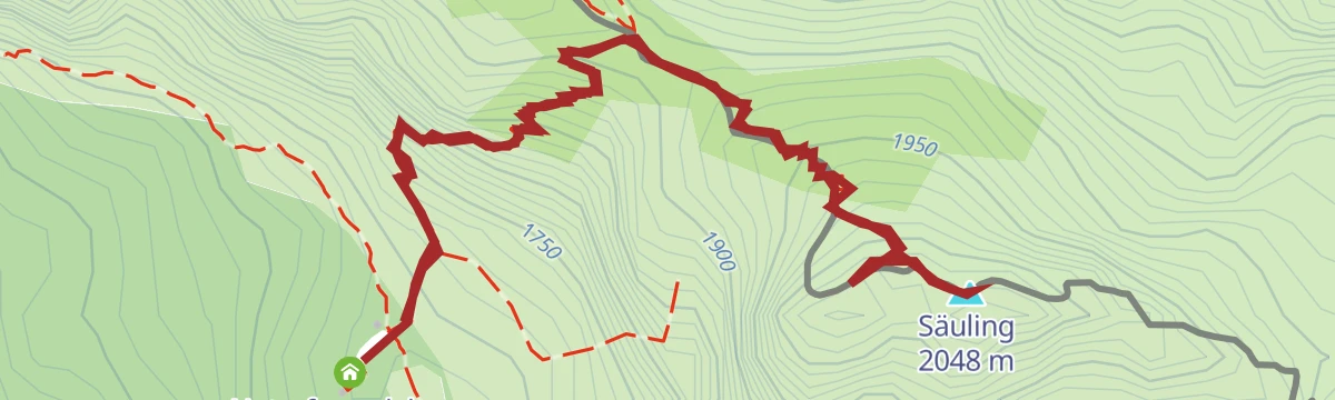
Gipfelwanderung Säuling ab Säulinghaus
Summit leg from the Naturfreundehaus below the peak: a steep but short 300 m push to the cross overlooking Füssen and the royal castles.
Planning a trip to Pflach?
Everything else Tyrol has, in one place


Take Pflach with you into the mountains
Every route on this page with 3D terrain, GPX navigation and offline maps — including the valleys with no signal.
Data sources
- Official website: reutte.com ↗
- Routes and highlights: Naturparkregion Reutte, Lechtal Tourismus, Tannheimer Tal
- Published as open data by the tourist boards named above.
- Region summary generated from the board's own material.
