

 Cable car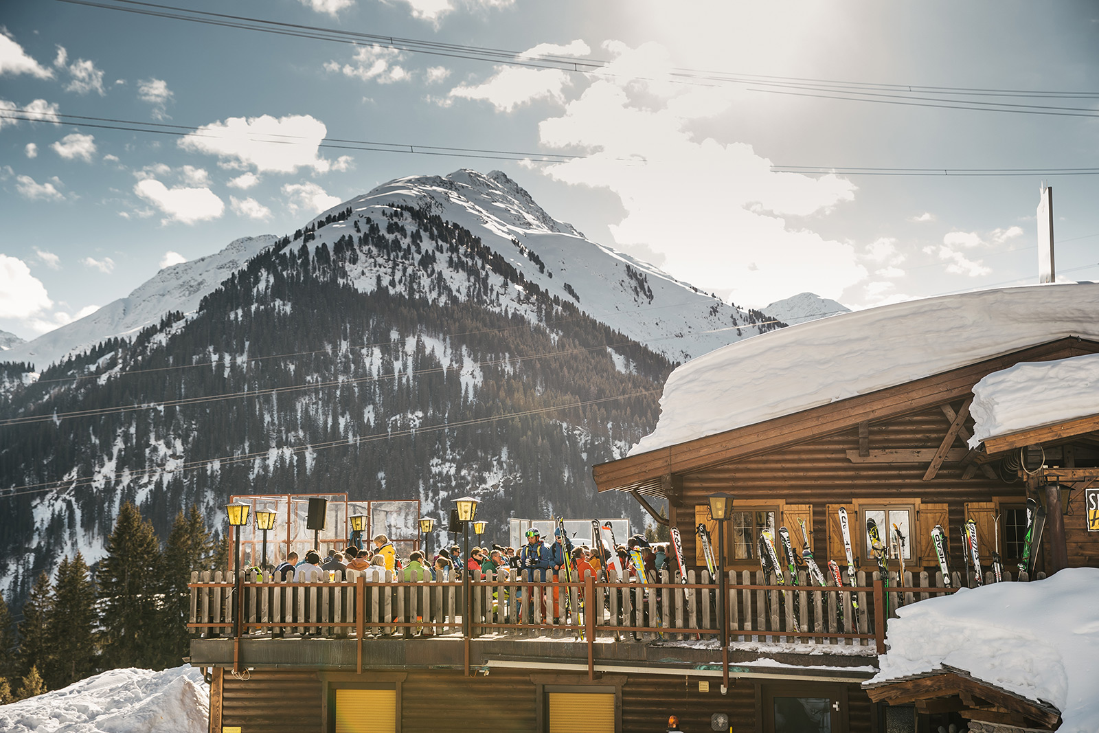












Curated by St. Anton am Arlberg
Pettneu am Arlberg
A quieter Stanzertal neighbour of St. Anton at about 1200 m along the Rosanna, with the Schnann gorge and a wellness park with indoor pool.
- 3Highlights
- 45Routes
- Featured summit · Hoher Riffler (Nord)
Highlights
12 from neighbouring places
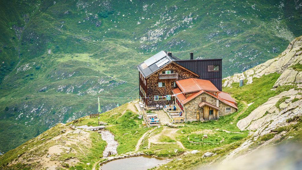
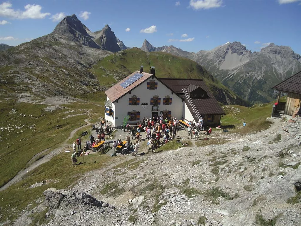
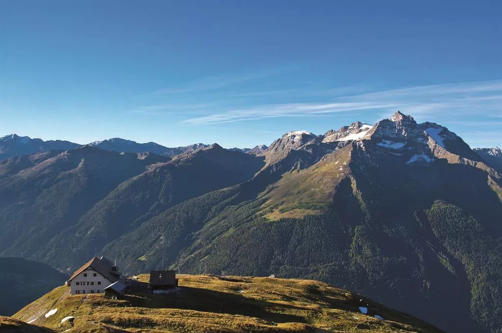
Kaiserjochhaus 2.310 m
A refuge at 2,310 m on the Kaiserjoch saddle above Kaisers, linking the Lechtal with the Stanzertal on the Lechtaler Höhenweg.
Klettergarten Edmund-Graf-Hütte
The climbing garden beside the Edmund-Graf-Hütte, with short walls of 15 to 32 m at easy to moderate grades.
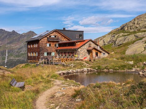
Edmund-Graf Hütte
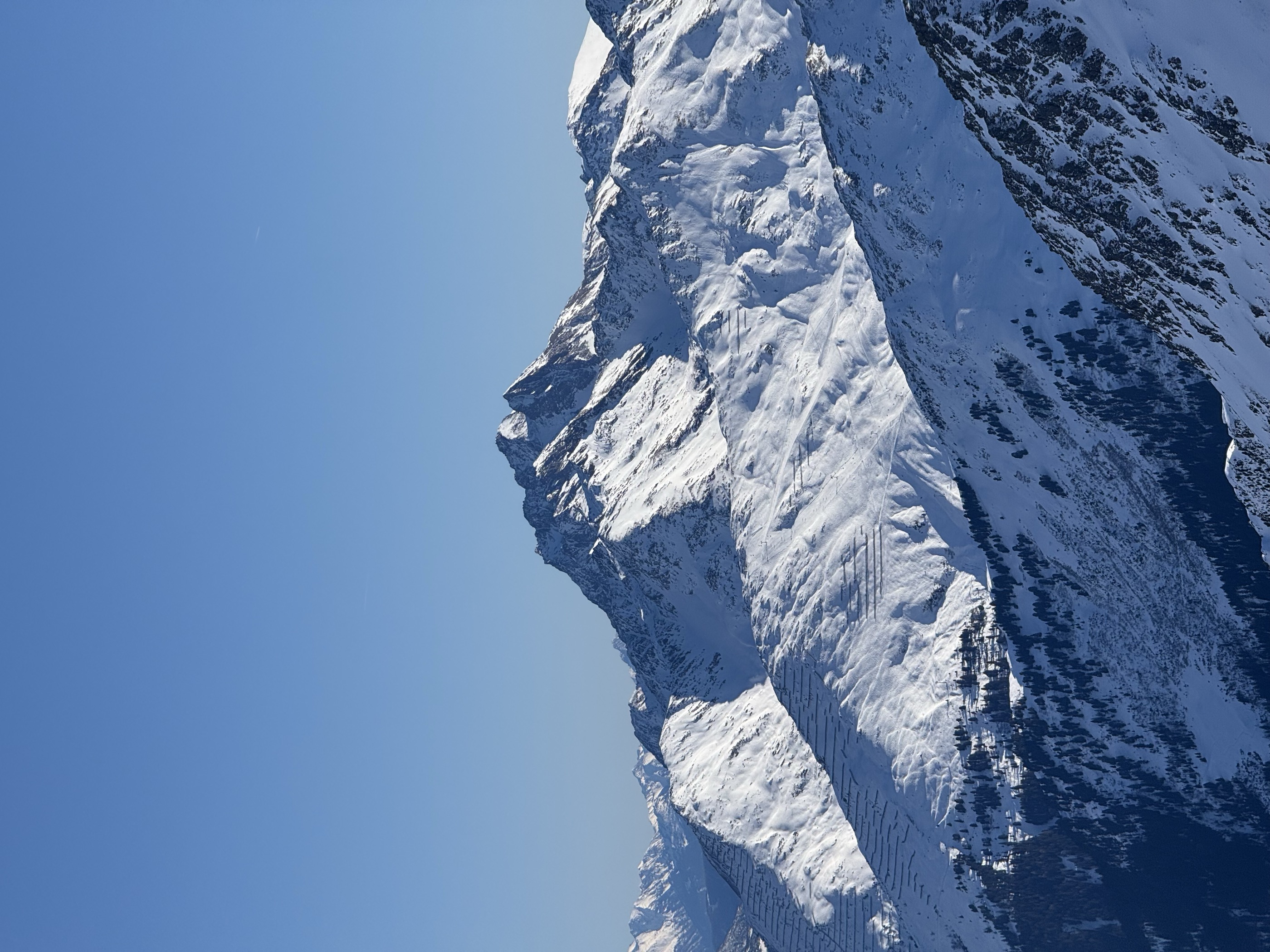
An Alpine Club hut above Pettneu am Arlberg in the Verwall group, the main base for the ascent of the Hoher Riffler.
Putzen Alm
3.8 km away, in St. Anton am Arlberg
An alp above St. Anton at the head of the Schöngrabental, reached on foot or by bike through the Nasserein quarter.
Leutkircher Hütte 2.251 m
5 km away, in St. Anton am Arlberg
A refuge at 2,251 m on the ridge between Kaisers and the Arlberg, a stop on the high routes linking the Lechtal and Stanzertal.
Alpe Kaisers 1.689 m
5.4 km away, in Kaisers
A working alp at 1,689 m above the mountain village of Kaisers, offering regional food on the walking routes toward the Kaiserjoch.
Ansbacherhütte 2.376 m
5.5 km away, in Flirsch
A refuge at 2,376 m on the Lechtaler Höhenweg high route, reached from the Stanzertal side near Grins and serving regional dishes.
Arlberg Escapes
5.8 km away, in St. Anton am Arlberg
An escape-room game in St. Anton built around the village's own ski history and its Weiße Rausch trophy.
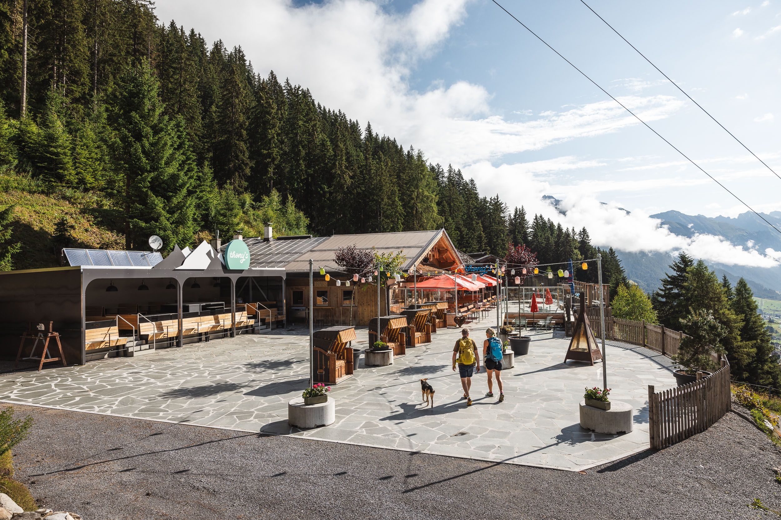
Thonys - 1.500m
6.1 km away, in St. Anton am Arlberg
A slope-side restaurant at 1,500 m above St. Anton am Arlberg, a lunch and après-ski stop reachable from the village lifts.
Rendlbahn
6.5 km away, in St. Anton am Arlberg
A gondola from St. Anton am Arlberg across the valley to the Rendl, opening the ski slopes on the south side of the resort.
Sennhütte
7.1 km away, in St. Anton am Arlberg
A hut on the lower slopes above St. Anton am Arlberg, within walking distance of the village and open in winter and summer.
Durrichalpe
7.3 km away, in Kappl
An alpine pasture in the mountains above the lower Paznaun near Kappl, a destination on the valley's walking network.
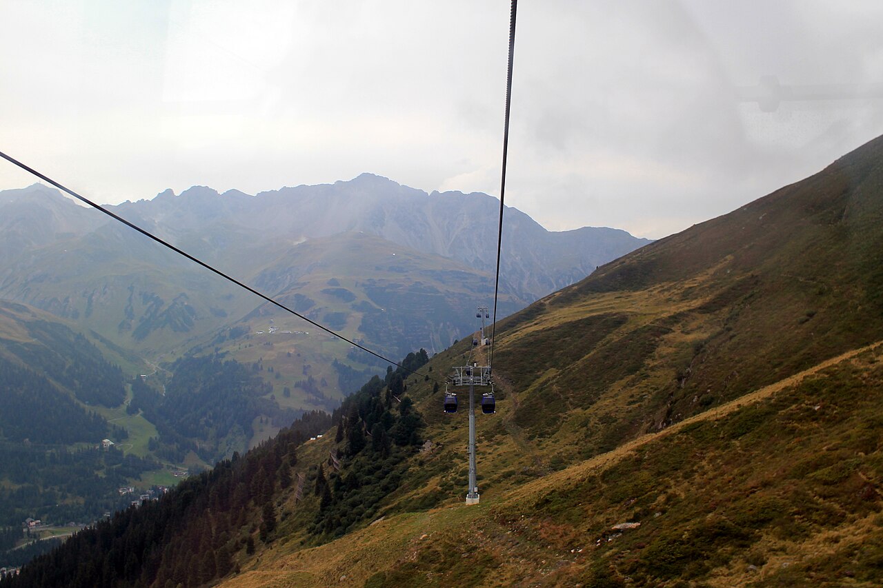
Galzigbahn
7.4 km away, in St. Anton am Arlberg
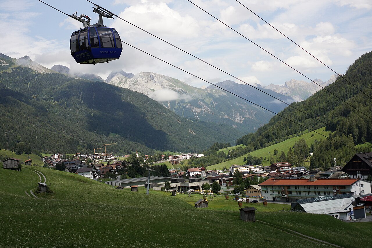
A gondola from the centre of St. Anton am Arlberg to the Galzig, rebuilt in 2006 with a distinctive wheel-shaped boarding system.
Alpe Boden 1.554 m
7.4 km away, in Kaisers
An alpine pasture at 1,554 m near Kaisers, serving regional dishes to walkers in the remote Kaisertal branch of the Lechtal Alps.
Tiroler Hütte
7.7 km away, in Kappl
A small hut in the Kappl skiing and walking area above the Paznaun valley, serving drinks and simple Tyrolean dishes near the pistes.
Nothing of this kind in Pettneu am Arlberg.
Routes
Arlberger Winterklettersteig
A short klettersteig starting at the Riffelscharte in the Rendl ski area, designed to be climbed in winter with skis on the pack; the exit runs toward the Rossfallscharte, so check avalanche conditions.
- 742 m
- Distance
- 200 m
- Ascent
- 1 h 20 min
- Duration
- 3
- Check-ins
Leutkircher Hütte - Kaiserjochhaus
A short Lechtaler Höhenweg leg from the Leutkircher Hütte below the Stanskogel to the Kaiserjochhaus, which sits in a sheltered hollow at the Kaiserjoch; the Hoher Riffler dominates the view across the valley.
- 4.4 km
- Distance
- 312 m
- Ascent
- 1 h 59 min
- Duration
- 14
- Check-ins
Kapall - Leutkircher Hütte - Kaiserjochhaus
A high traverse from the Kapall top station past the Leutkircher Hütte and over the Kaiserjoch saddle to the Kaiserjochhaus.
- 8.8 km
- Distance
- 643 m
- Ascent
- 4 h 14 min
- Duration
- 33
- Check-ins
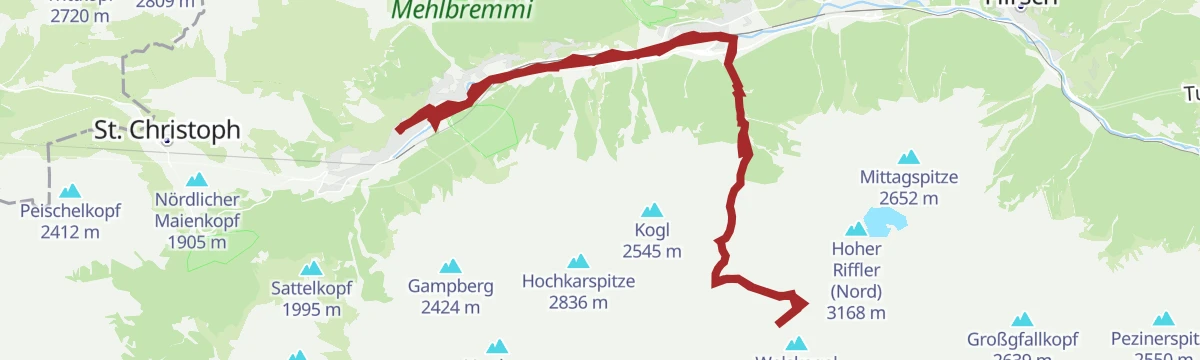
Jakobsweg - Strengen -Flirsch – Schnann – Pettneu – St. Jakob – St. Anton - Mooserweg - St. Christoph (Umleitung Zintlkopf)
A 29 km pilgrimage stage through the Stanzertal villages — Strengen, Flirsch, Schnann, Pettneu and St. Jakob — before climbing via the Mooserweg to St. Christoph; a diversion currently avoids the Zintlkopf.
- 29.8 km
- Distance
- 1 582 m
- Ascent
- 11 h 22 min
- Duration
- 68
- Check-ins
Edmund-Graf-Hütte - Hoher Riffler
The summit leg above the Edmund-Graf-Hütte: 2.1 km and 738 m on skis onto the Hoher Riffler, topping out at 3,134 m.
- 1.8 km
- Distance
- 0 m
- Ascent
- 0 m
- Descent
- 27 min
- Duration
Open route PeakVisor tTRL (OpenStreetMap piste_type=skitour)Pettneu - Hoher Riffler
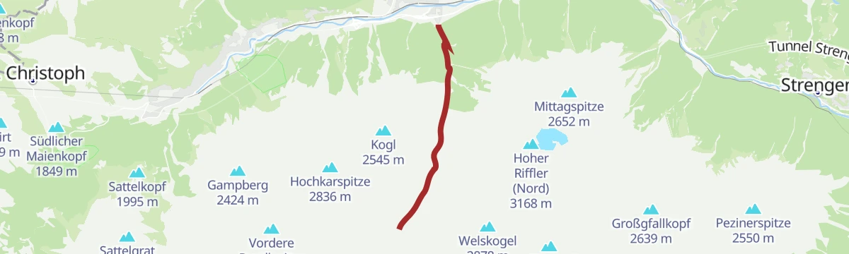
The whole Hoher Riffler from the valley: 7.5 km and 1,901 m on skis from Pettneu at 1,231 m up to 3,134 m.
- 7.2 km
- Distance
- 0 m
- Ascent
- 0 m
- Descent
- 1 h 45 min
- Duration
Open route PeakVisor tTRL (OpenStreetMap piste_type=skitour)St. Anton - Kaunertaler Gletscher - St. Anton
A 104 km road ride from the Arlberg across to the Kaunertal and up the glacier road to 2,750 m, over 4,000 m of climbing in the day.
- 156.4 km
- Distance
- 4 157 m
- Ascent
- 17 h 48 min
- Duration
- 86
- Check-ins
Pettneu - Franz-Kurz-Weg - Hirschenbad - Pettneu
A village loop from Pettneu on the Franz-Kurz-Weg past the Hirschenbad, climbing gently onto the sunny slope before circling back — a quiet alternative to St. Anton's busier paths.
- 4.8 km
- Distance
- 345 m
- Ascent
- 2 h 17 min
- Duration
- 1
- Check-ins
Kaiserjochhaus - Frederic-Simms-Hütte
A Lechtaler Höhenweg stage that leaves the Kaiserjochhaus, threads a cable-secured gully beneath the Vorderseespitze, crosses the Kälberlahnzugjoch and drops in switchbacks to the Frederic-Simms-Hütte below the Holzgauer Wetterspitze.
- 7.9 km
- Distance
- 511 m
- Ascent
- 4 h 3 min
- Duration
- 21
- Check-ins
Kapall - Leutkircher Hütte - Kaiserjochhaus - Pettneu
A Lechtal Alps traverse from the Kapall lift over the Leutkircher Hütte to the Kaiserjochhaus, descending past the Nessleralm to Pettneu — two huts and a high crest in one day.
- 15.6 km
- Distance
- 684 m
- Ascent
- 5 h 22 min
- Duration
- 36
- Check-ins
Lattejoch - Vordere Rendlspitze
A ski link from the Lattejoch to the Vordere Rendlspitze on the Verwall ridge, 700 m of climbing in 3.8 km.
- 3.1 km
- Distance
- 0 m
- Ascent
- 0 m
- Descent
- 46 min
- Duration
Open route PeakVisor tTRL (OpenStreetMap piste_type=skitour)Pettneu - Lattejoch
A ski tour from Pettneu to the Lattejoch, 1,416 m of climbing in 8.5 km to a col at 2,646 m.
- 8.2 km
- Distance
- 0 m
- Ascent
- 0 m
- Descent
- 2 h 1 min
- Duration
Open route PeakVisor tTRL (OpenStreetMap piste_type=skitour)St. Anton - Landeck - Pians - Tobadill - St. Anton
A long road loop from the Arlberg down the Stanzertal to Landeck and back up, with the climbing saved for the return.
- 60.4 km
- Distance
- 1 430 m
- Ascent
- 6 h 42 min
- Duration
- 39
- Check-ins
Glaube und Geschichte - Schnann
A short themed walk around Schnann tracing faith and local history, linking the village's chapels and wayside monuments on easy paths.
- 3.8 km
- Distance
- 168 m
- Ascent
- 1 h 19 min
- Duration
St. Anton - Wolchererhöhe- Pettneu
A hillside walk from St. Anton am Arlberg over the Walchererhöhe down to Pettneu, passing the Nessleralm on the way.
- 12.3 km
- Distance
- 732 m
- Ascent
- 5 h 5 min
- Duration
- 15
- Check-ins
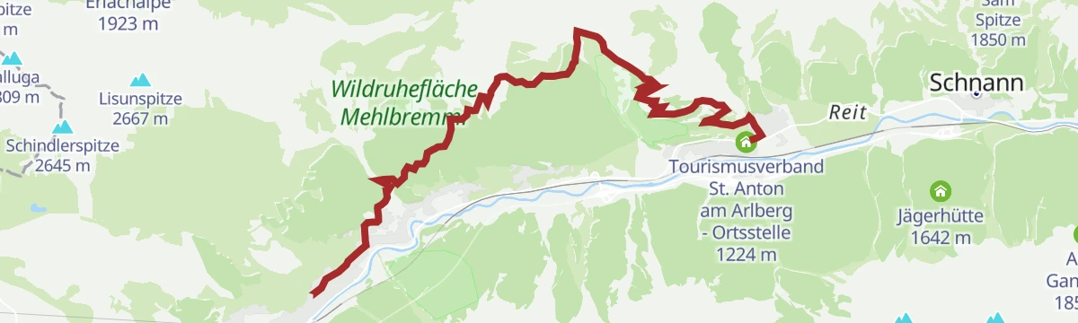
Pettneu - Kaiserjochhaus, 2306 m - Leutkircher Hütte, 2251 m
A big loop from Pettneu up to the Kaiserjochhaus at 2,306 m, continuing along the Lechtal crest to the Leutkircher Hütte via the Schindelescharte before the long descent home.
- 18.9 km
- Distance
- 1 617 m
- Ascent
- 10 h 16 min
- Duration
- 18
- Check-ins
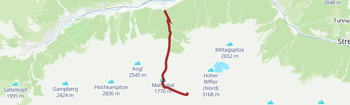
Pettneu - Edmund-Graf-Hütte
The ski approach from Pettneu up the Malfontal to the Edmund-Graf-Hütte, 1,155 m of climbing in 5.5 km.
- 5.4 km
- Distance
- 0 m
- Ascent
- 0 m
- Descent
- 1 h 19 min
- Duration
Open route PeakVisor tTRL (OpenStreetMap piste_type=skitour)St. Anton - Strenger Berg - Strengen - St. Anton
A road circuit starting in St. Anton am Arlberg, losing height down the valley before a long climb back up to the village.
- 43.1 km
- Distance
- 973 m
- Ascent
- 4 h 45 min
- Duration
- 39
- Check-ins
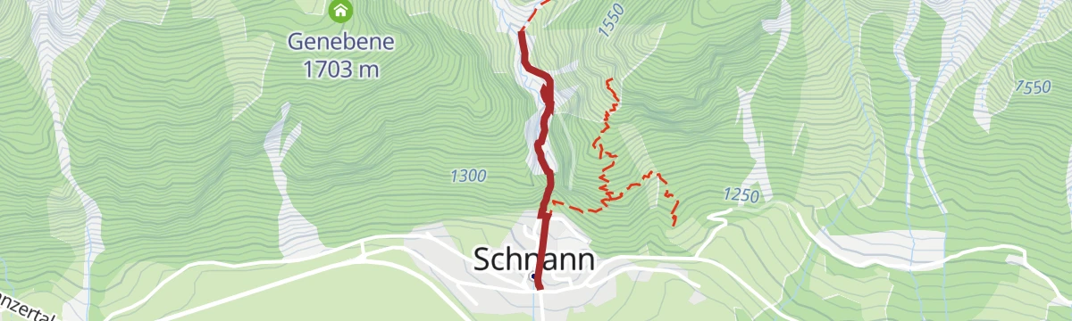
Schnann - Schnanner Klamm
A short, steep path from Schnann into the Schnanner Klamm, where secured walkways climb through the narrow gorge — barely a kilometre long but 200 m of ascent.
- 887 m
- Distance
- 204 m
- Ascent
- 1 h 7 min
- Duration
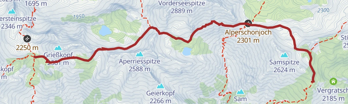
Kaiserjochhaus - Ansbacher Hütte
A hut-to-hut stage weaving along both sides of the Lechtal main ridge, over the Gridlonscharte and Hinterseejoch with a cable-protected traverse before the Flarschjoch leads to the Ansbacher Hütte, highest hut in the Lechtaler Alpen.
- 8.3 km
- Distance
- 490 m
- Ascent
- 3 h 16 min
- Duration
- 14
- Check-ins
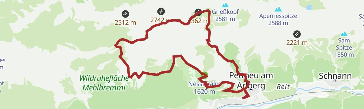
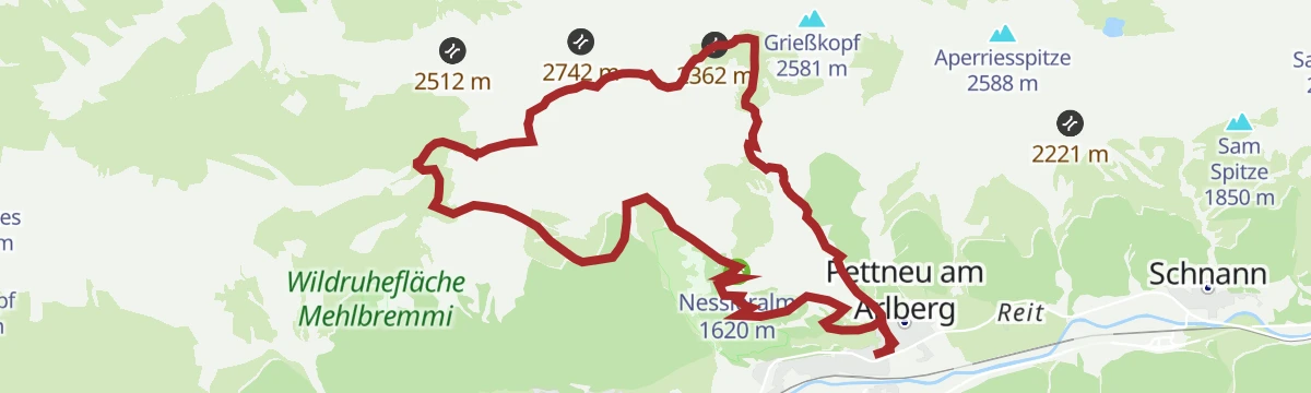
Pettneu - Leutkircher Hütte - Kaiserjochhaus - Pettneu
A long loop from Pettneu that climbs to the Leutkircher Hütte, follows the crest over the Kaiserkopf to the Kaiserjochhaus and returns via the Nessleralm — a full day on the Stanzertal's northern chain.
- 17.6 km
- Distance
- 1 455 m
- Ascent
- 9 h 19 min
- Duration
- 18
- Check-ins
Pettneu - Rendlscharte
A shorter ski tour from Pettneu to the Rendlscharte, 718 m of climbing in 5.4 km.
- 5.5 km
- Distance
- 0 m
- Ascent
- 0 m
- Descent
- 1 h 21 min
- Duration
Open route PeakVisor tTRL (OpenStreetMap piste_type=skitour)Bike & Hike Malfonalm - Edmund Graf Hütte - Hoher Riffler
A ride up the Malfontal past the Vordere Malfonalpe to the Edmund-Graf-Hütte, with the Hoher Riffler as the walking finish above.
- 35.3 km
- Distance
- 2 166 m
- Ascent
- 5 h 40 min
- Duration
- 25
- Check-ins
Ansbacher Hütte - Kaiserjochhaus
Lechtaler Höhenweg stage from the Ansbacher Hütte over the Flarschjoch and Hinterseejoch to the Kaiserjochhaus at 2,310 m, with secured passages across steep flanks.
- 8.3 km
- Distance
- 405 m
- Ascent
- 3 h 7 min
- Duration
- 14
- Check-ins
K.14 Edmund Graf Hütte - Hoher Riffler
Marathon-length summit day from Kappl to the Edmund-Graf-Hütte and up both tops of the Hoher Riffler, with nearly 2,000 m of ascent via the Schmalzgrubenscharte and Blankascharte.
- 21.9 km
- Distance
- 1 987 m
- Ascent
- 13 h 27 min
- Duration
- 16
- Check-ins
Bike und Hike Schmalzgrubensee
A ride up the Malfontal to the Malfonalpe, then the walk on toward the Edmund-Graf-Hütte and the lake.
- 32.4 km
- Distance
- 1 593 m
- Ascent
- 4 h 27 min
- Duration
- 15
- Check-ins
 Malfontal 1 770 m
 Sonnegg 1 282 m
- Edmund-Graf-Hütte 2 375 m
- ben.venuto 1 304 m
- Vordere Malfonalpe 1 689 m
 Schmalzgrubensee 2 556 m
Pettneu - Stöcklweg - Nessleralm
A steady forest climb out of Pettneu on the old Stöckl path, passing the Alte Nessleralpe on the way up to the serviced Nessleralm above the Stanzertal.
- 4.5 km
- Distance
- 519 m
- Ascent
- 3 h 7 min
- Duration
- 4
- Check-ins
Von Kaisers zum Hintersee
From the quiet village of Kaisers through the Kaisertal to the Kaiserjochhaus and on over the Gridlonscharte to the remote Hintersee, deep in high Lechtaler terrain.
- 8.9 km
- Distance
- 970 m
- Ascent
- 4 h 19 min
- Duration
- 14
- Check-ins
Arlberg Runde
A 67.7 km ride from Landeck through the Stanzertal villages to St. Anton, returning along the Rosanna on a mostly downhill road.
- 55.4 km
- Distance
- 591 m
- Ascent
- 5 h 28 min
- Duration
Open route Tirol WerbungPettneu - Stöcklweg - Pettneu
A half-day loop above Pettneu, going up on the Stöcklweg to the Nessleralm and coming back down to the village by a different forest path.
- 7.5 km
- Distance
- 454 m
- Ascent
- 3 h 8 min
- Duration
- 4
- Check-ins
Hundskopfweg - Kaiserjochhaus
A steep, direct ascent over the Hundskopf flank to the Kaiserjochhaus, gaining more than 1,000 m in under 4 km — a strenuous shortcut onto the Lechtaler Höhenweg.
- 4.3 km
- Distance
- 1 057 m
- Ascent
- 5 h 46 min
- Duration
- 7
- Check-ins
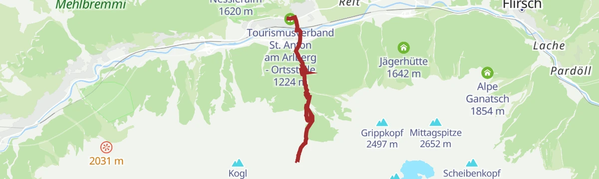
Pettneu - Nessleralm
The classic direct path from Pettneu up to the Nessleralm, a steady climb through forest and pasture to the alp terrace above the Stanzertal.
- 3.7 km
- Distance
- 417 m
- Ascent
- 2 h 30 min
- Duration
- 3
- Check-ins
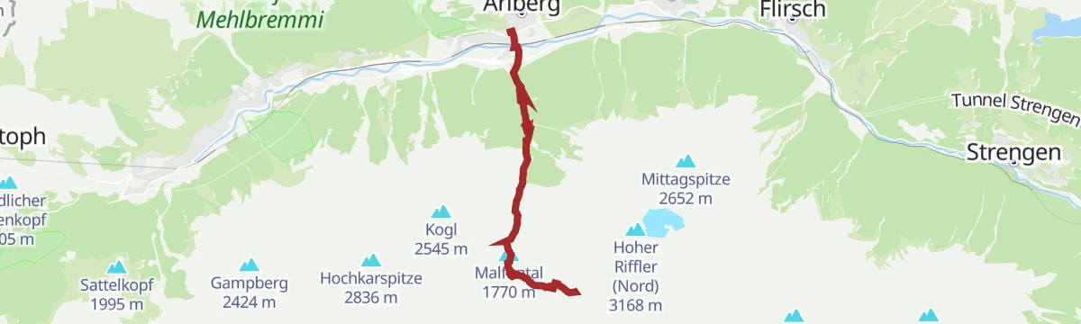
Pettneu - Malfonalpe - Edmund-Graf-Hütte
From Pettneu into the Malfontal, past the Vordere Malfonalpe and on up to the Edmund-Graf-Hütte, base hut for the Hoher Riffler in the Verwall.
- 7.6 km
- Distance
- 1 202 m
- Ascent
- 6 h 53 min
- Duration
- 7
- Check-ins
Pettneu - Malfonalm
A walk from Pettneu into the quiet Malfontal to the Vordere Malfonalpe, a satisfying half-day objective with Verwall peaks filling the valley head.
- 4.8 km
- Distance
- 498 m
- Ascent
- 3 h 3 min
- Duration
- 2
- Check-ins
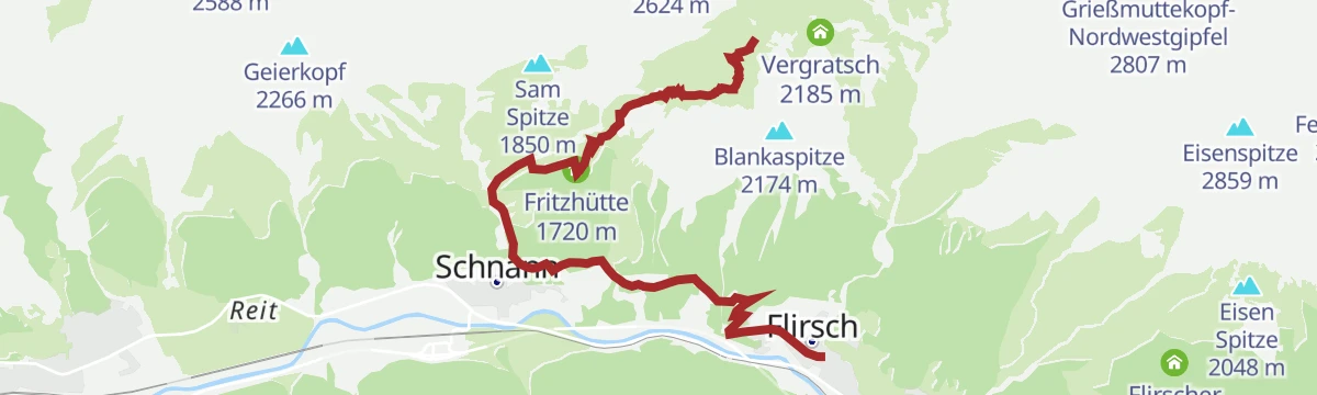
Flirsch - Fritzhütte - Ansbacher Hütte
Steep direct ascent from Flirsch in the Stanzertal, gaining over 1,200 m past the Fritzhütte to reach the Ansbacher Hütte high in the Lechtaler Alpen.
- 5.9 km
- Distance
- 1 251 m
- Ascent
- 6 h 55 min
- Duration
- 4
- Check-ins
Pettneu - Untere und Obere Waldebene
A short but punishing climb from Pettneu to the forest clearings of the Untere and Obere Waldebene, gaining around 500 m in barely 2.5 km.
- 2.4 km
- Distance
- 516 m
- Ascent
- 2 h 51 min
- Duration
- 1
- Check-ins
Flirsch - Schnanner Klamm - Fritzhütte - Ansbacher Hütte
From Flirsch through the Schnanner Klamm gorge and past the Fritzhütte, then steeply up to the Ansbacher Hütte perched high above the Stanzertal.
- 7.1 km
- Distance
- 1 354 m
- Ascent
- 7 h 35 min
- Duration
- 4
- Check-ins
Pettneu - Untere und Obere Waldebene - Pettneu
A loop from Pettneu over the Untere and Obere Waldebene forest terraces, climbing sharply before easing back down to the village.
- 5.6 km
- Distance
- 511 m
- Ascent
- 3 h 12 min
- Duration
- 1
- Check-ins
Flirsch - Schnanner Klamm - Fritzhütte - Ansbacher Hütte - Flirsch
A demanding circuit from Flirsch through the Schnanner Klamm and past the Fritzhütte to the Ansbacher Hütte, descending via Vergratsch and the Maschniederleg back to the valley.
- 11.5 km
- Distance
- 1 354 m
- Ascent
- 8 h 6 min
- Duration
- 4
- Check-ins
Schnann - Ganatschalm
A climb from Schnann to the Alpe Ganatsch, a working alp tucked into the Lechtal side of the Stanzertal — steady grades and a quiet pasture finish.
- 6.5 km
- Distance
- 688 m
- Ascent
- 4 h 12 min
- Duration
- 1
- Check-ins
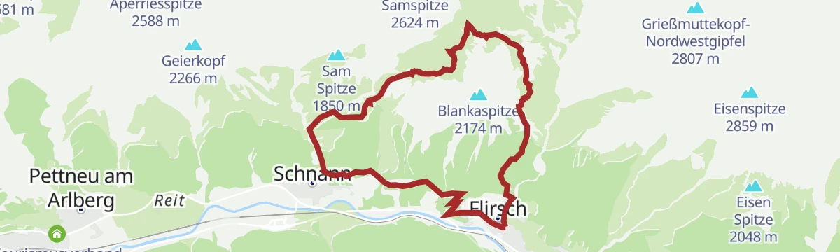
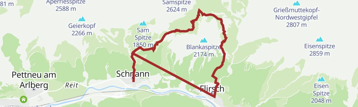
Schnann - Fritzhütte - Ansbacher Hütte - Flirsch
A steep route from Schnann past the Fritzhütte to the Ansbacher Hütte in the Lechtaler Alpen, with the descent running down over the Maschniederleg to Flirsch.
- 11.4 km
- Distance
- 1 481 m
- Ascent
- 8 h 43 min
- Duration
- 4
- Check-ins
Bergwaldweg Wanderung
Forest trail climbing above Flirsch to the Fritzhütte, following the wooded slopes of the Stanzertal before looping back down to the village.
- 8.4 km
- Distance
- 760 m
- Ascent
- 4 h 46 min
- Duration
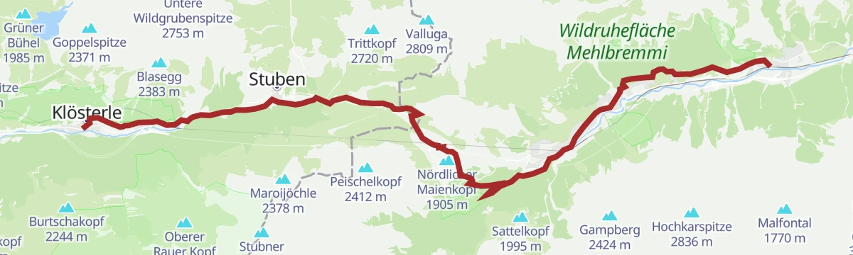
Jakobsweg: Pettneu (Tirol) bis Klösterle am Arlberg
The Way of St James from Pettneu in Tyrol over the Arlberg pass and down into Vorarlberg.
- 25.2 km
- Distance
- 985 m
- Ascent
- 8 h 28 min
- Duration
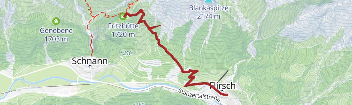
Open route Alpenregion VorarlbergFlirsch - Fritzhütte
Short, sharp climb from Flirsch to the Fritzhütte, gaining nearly 600 m in 3.5 km on the lower slopes of the Lechtaler Alpen.
- 3.6 km
- Distance
- 589 m
- Ascent
- 3 h 21 min
- Duration
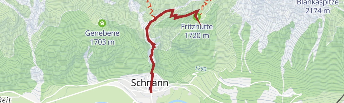
Schnann - Fritzhütte - Schnann
A compact loop from Schnann up to the Fritzhütte and back down the same hillside — short, but steep enough to earn the hut bench.
- 3.7 km
- Distance
- 539 m
- Ascent
- 3 h 7 min
- Duration
No routes of this kind in Pettneu am Arlberg yet.
The region's own picks

Featured route
Leutkircher Hütte - Kaiserjochhaus
A short Lechtaler Höhenweg leg from the Leutkircher Hütte below the Stanskogel to the Kaiserjochhaus, which sits in a sheltered hollow at the Kaiserjoch; the Hoher Riffler dominates the view across the valley.
Planning a trip to Pettneu am Arlberg?
Everything else Tyrol has, in one place


Take Pettneu am Arlberg with you into the mountains
Every route on this page with 3D terrain, GPX navigation and offline maps — including the valleys with no signal.
Data sources
- Official website: stantonamarlberg.com ↗
- Routes and highlights: St. Anton am Arlberg, Lechtal Tourismus, PeakVisor tTRL (OpenStreetMap piste_type=skitour), Tirol Werbung, TVB Paznaun-Ischgl, Alpenregion Vorarlberg
- Published as open data by the tourist boards named above.
- Region summary generated from the board's own material.
