








Curated by Tourismusgenossenschaft Antholzertal
Perca/Percha
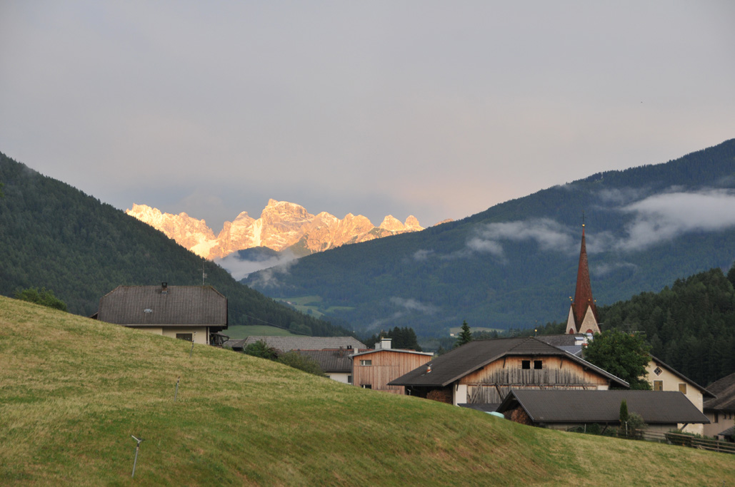
Pusteria village at the foot of Plan de Corones, with a cluster of earth pyramids eroded from the moraine.
Photo: Lumay99 · CC BY-SA 3.0 licence
- 9Highlights
- 22Routes
- Featured summit · Rammelstein - Montone
Highlights
All 9 from neighbouring places
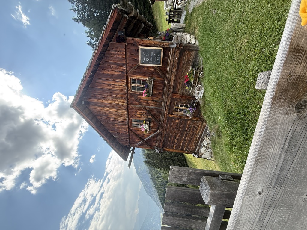
Malga Kumpfl
4.7 km away, in Rasun-Anterselva/Rasen-Antholz
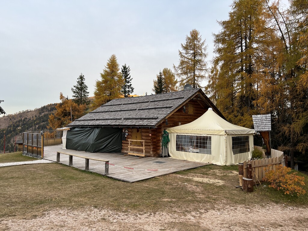
A pasture hut above Rasun, on the walking paths between the Anterselva valley and the Plan de Corones side.
Malga Hofstatt 1.300m
4.8 km away, in Rasun-Anterselva/Rasen-Antholz
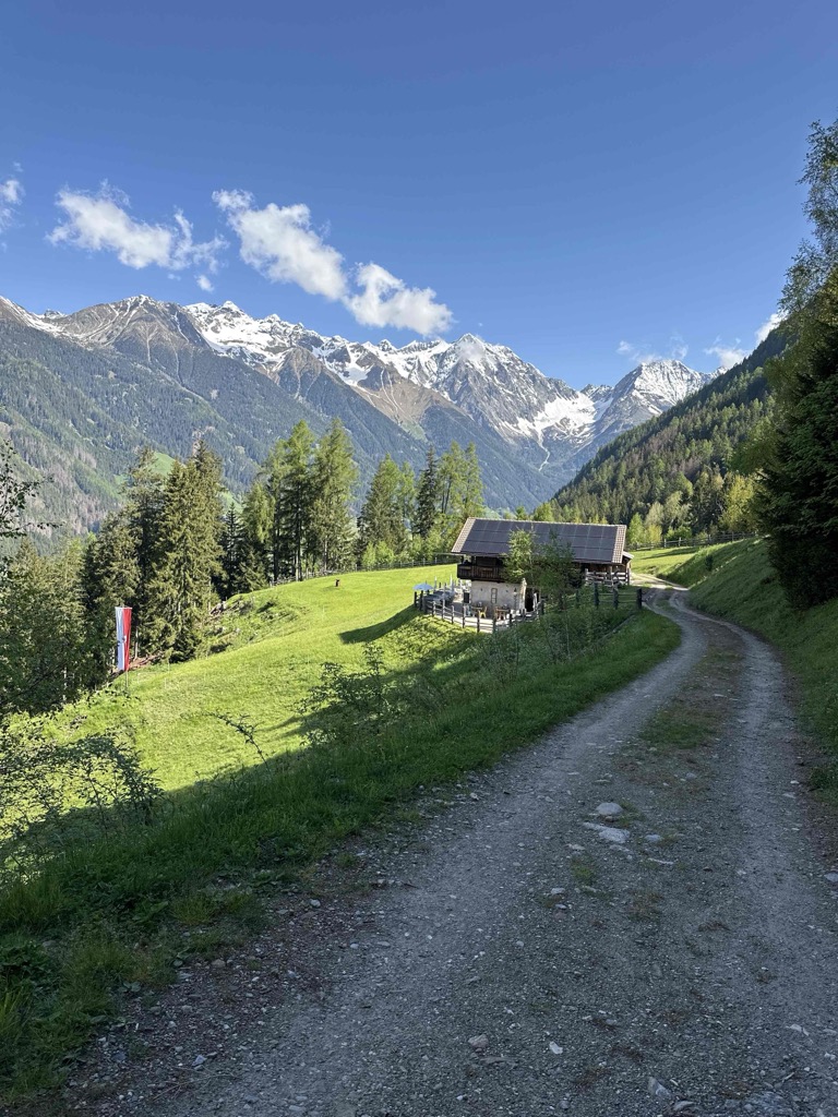
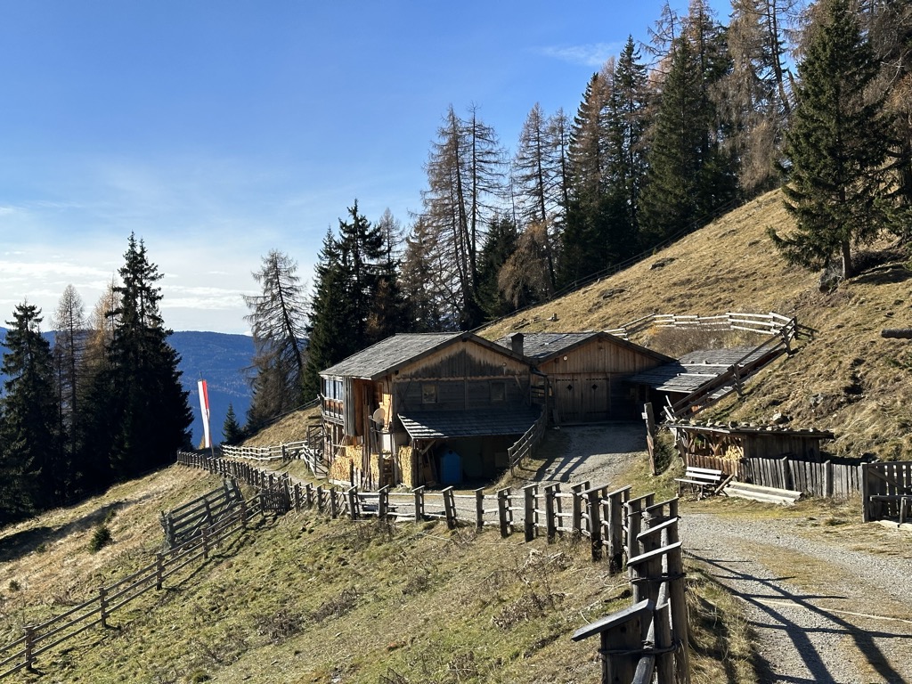
A dairy hut at 1,300 m in the woods above Rasun, a short walk from the road up the Anterselva valley.
Hochrautalm 1643 m
5.7 km away, in Rasun-Anterselva/Rasen-Antholz
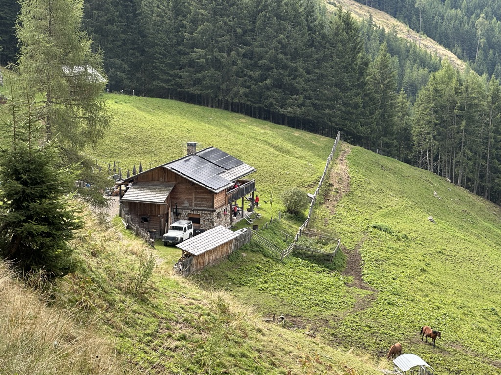
A dairy hut at 1,643 m on the pastures above Rasun, at the mouth of the Anterselva valley.
Sterzing, Pfitsch und FreienfeldMalga Hochraut 1.643m
5.7 km away, in Rasun-Anterselva/Rasen-Antholz
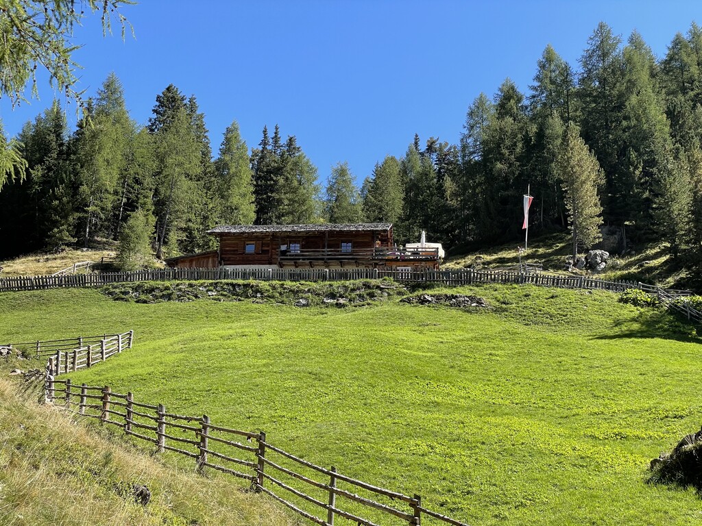
A pasture hut at 1,643 m above Rasun, reached by forest road from the valley, with the Vedrette di Ries to the north.
Malga Steinzger 1.894m
12.4 km away, in Rasun-Anterselva/Rasen-Antholz
A dairy hut at 1,894 m on the open pastures above Anterselva, reached by track from the valley floor.
Sterzing, Pfitsch und FreienfeldRistoranti Speikboden
14.3 km away, in Campo Tures/Sand in Taufers
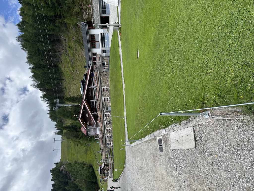
The mountain restaurants at Speikboden above Campo Tures, reached by cable car, at the start of the walks towards the Sonklarspitz ridge.
Albergo Kofler am Kofl
10 km away, in Falzes/Pfalzen
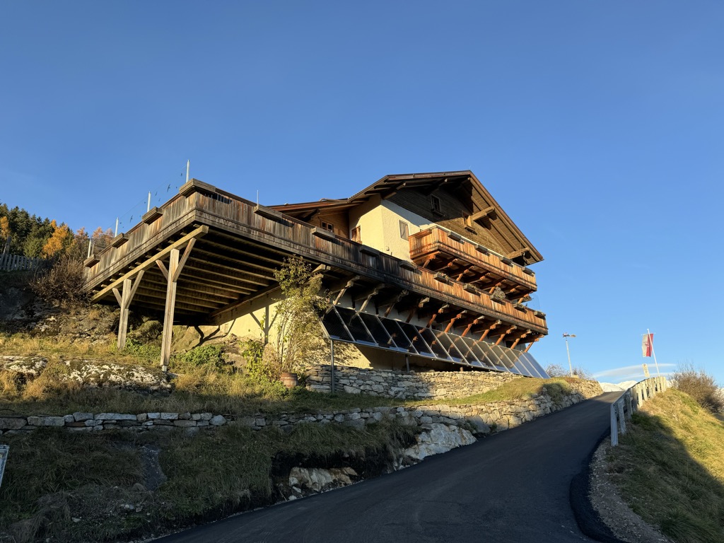
A mountain inn on a knoll above Falzes, looking down the Val Pusteria towards the Dolomites.
Sterzing, Pfitsch und FreienfeldPicio Pré Restaurant
13.9 km away, in Marebbe/Enneberg
A Slow Food mountain restaurant at 1,952 m in the Ladin comune of Marebbe, reached on the walk from the Furkelpass and open summer and winter.
Malga Moarhof
14.3 km away, in Chienes/Kiens
A farm dairy on the slopes above Chienes, on the sunny side of the Val Pusteria.
Nothing of this kind in Perca/Percha.
Routes
Hiking to the Lercher Alp Hut
A short easy climb into the Valle di Vila to the Lercher alp hut, with no difficulties and fine for children.
- 2.4 km
- Distance
- 237 m
- Ascent
- 1 h 1 min
- Duration
- 5
- Check-ins
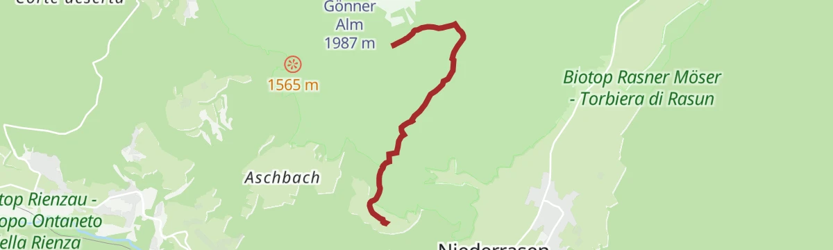
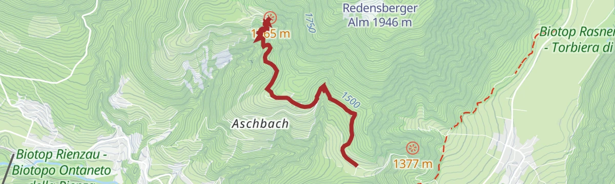
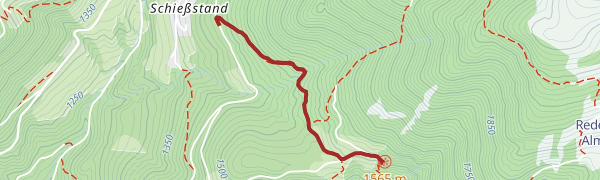
Open route Bruneck Kronplatz TourismusAlpine hike to Aschbach and Redensberg Alm hut
A quiet climb through shaded forest above Rasen to two unserviced pastures beside a small pond, where the ground opens out towards the Dolomites.
- 3.7 km
- Distance
- 576 m
- Ascent
- 2 h 16 min
- Duration
 Redensberger Alm 1 946 m
 Löschteich Aschbach 1 943 m
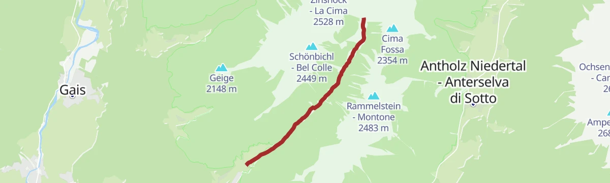
Open route Tourismusgenossenschaft AntholzertalRammelstein
A climb on forest track past the Spangleralm, then steeply on path 6A to a saddle and up the rough but marked line to the Rammelstein.
- 12.6 km
- Distance
- 1 056 m
- Ascent
- 6 h 43 min
- Duration
- 26
- Check-ins
Open route AVS Sektion Sand in TaufersMTB Tour through the Wielental to Haidacher Alm
A steady climb from Oberwielenbach up the stream into the Wielental, past the Lercher Alm to the pasture at 1,883 m.
- 5.4 km
- Distance
- 456 m
- Ascent
- 47 min
- Duration
- 7
- Check-ins
Open route Bruneck Kronplatz TourismusBike Tour to Bruneck
A gentle run out of the Antholz valley onto the Pustertal cycle path, following the Rienz through Percha to the gorge below Bruneck.
- 11.5 km
- Distance
- 90 m
- Ascent
- 1 h 11 min
- Duration
- 10
- Check-ins
- Treff Ried 927 m
- Weiher in der Aue 918 m
- Sportbar Percha 926 m
- Tourismusverein Rasen 1 041 m
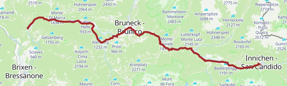
Open route Tourismusgenossenschaft AntholzertalPustertal Valley Bike Route: Mühlbach - Innichen
The up-valley direction of the Puster valley cycle path, starting at Rio di Pusteria and gaining height gently as far as San Candido.
- 62.1 km
- Distance
- 340 m
- Ascent
- 5 h 59 min
- Duration
- 91
- Check-ins
- Baita 1 175 m
- Mühlbacher Torturm - Porta di Rio Pusteria 734 m
- Tourist Info Olang 1 046 m
- Mini Snack 745 m
- Treff Ried 927 m
- Touristik Information 764 m
- +10
Open route Gitschberg - JochtalHike from Rasen to the Earth Pyramids of Platten
A forest walk from Redensberg out to the viewing platform above the clay towers of Platten, each column capped by its own protective stone.
- 3.7 km
- Distance
- 281 m
- Ascent
- 1 h 31 min
- Duration
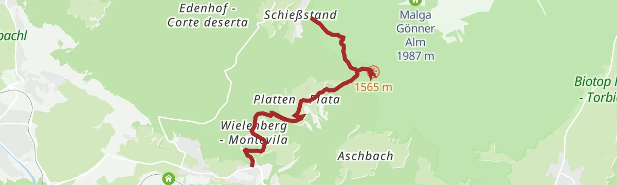
Open route Tourismusgenossenschaft AntholzertalTo the Earth Pyramides of Plata
A climb by way of Wielenberg, its old farms, the church of St Koloman and a herb-farm nature trail, to the earth pyramids above Platten.
- 5.6 km
- Distance
- 588 m
- Ascent
- 2 h 45 min
- Duration
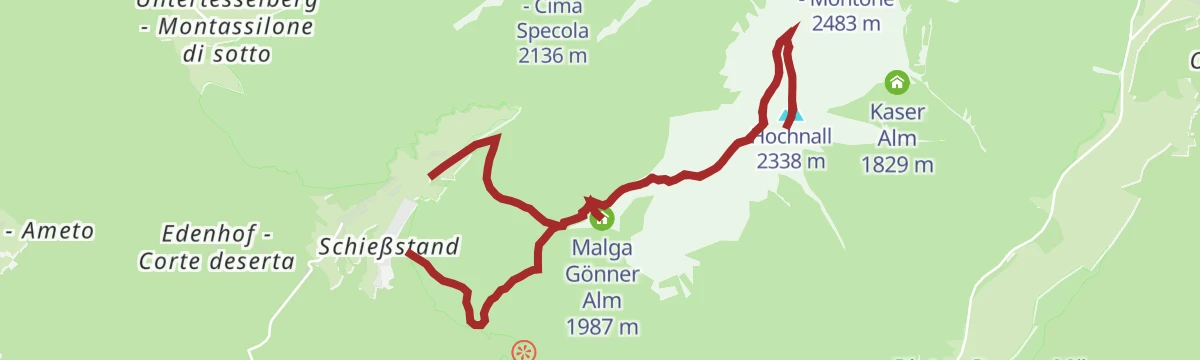
Open route Bruneck Kronplatz TourismusTo the summit of Hochnall
A climb through spruce forest that thins only at the Gonneralm, then on easier gently rising ground to the top of the Hochnall.
- 12.3 km
- Distance
- 964 m
- Ascent
- 6 h 13 min
- Duration
- 23
- Check-ins
Open route AVS Sektion Sand in TaufersPustertal Valley Bike Route
The full length of the Puster valley cycle path, from the gate tower at Rio di Pusteria through Brunico and Valdaora up to San Candido.
- 60.0 km
- Distance
- 266 m
- Ascent
- 5 h 43 min
- Duration
- 90
- Check-ins
- Baita 1 175 m
- Mühlbacher Torturm - Porta di Rio Pusteria 734 m
- Tourismusverein - Ufficio informazioni turistiche 790 m
- Tourist Info Olang 1 046 m
- Mini Snack 745 m
- Treff Ried 927 m
- +5
Open route KiensHiking tour to the Earth pyramides
A short family route out to the Plata earth pyramids, clay columns left by erosion above the Puster valley.
- 3.2 km
- Distance
- 118 m
- Ascent
- 1 h 2 min
- Duration
Open route Bruneck Kronplatz TourismusAlpine tour on the summit of the Rammelstein/Monte Montone
A climb high above the Puster valley on forest paths and alp pasture to the Rammelstein, with a stop at the Gonneralm looking down on Bruneck.
- 12.6 km
- Distance
- 1 093 m
- Ascent
- 6 h 55 min
- Duration
- 20
- Check-ins
Open route Bruneck Kronplatz TourismusPustertal Valley bikeway
A paved valley route beside the Rienza through Brunico and on to San Candido, easily combined with the Puster valley railway.
- 62.0 km
- Distance
- 274 m
- Ascent
- 5 h 54 min
- Duration
- 90
- Check-ins
- Baita 1 175 m
- Mühlbacher Torturm - Porta di Rio Pusteria 734 m
- Tourist Info Olang 1 046 m
- Mini Snack 745 m
- Treff Ried 927 m
- Touristik Information 764 m
- +9
Open route OlangRammelstein peak 2.483m
A summit walk above the Antholz valley to the Rammelstein, reached from Antholz Mittertal, Niedertal, Oberrasen or Niederrasen through forest and meadow onto open ridges.
- 4.9 km
- Distance
- 1 029 m
- Ascent
- 3 h 47 min
- Duration
- 20
- Check-ins
Open route Tourismusgenossenschaft AntholzertalBruneck - Brixen
A gently descending run along the Pustertal cycle route towards Brixen, passing the old town gate at Mühlbach.
- 42.0 km
- Distance
- 204 m
- Ascent
- 4 h 2 min
- Duration
- 68
- Check-ins
- Hotel Putzerhof 769 m
- Mühlbacher Torturm - Porta di Rio Pusteria 734 m
- Hotel Sonneck 782 m
- Tourismusverein - Ufficio informazioni turistiche 790 m
- Mini Snack 745 m
- Treff Ried 927 m
- +3
Open route Bruneck Kronplatz TourismusHochnall peak 2.231m
A climb above Rasun to the Hochnall from Oberrasen, Niederrasen or Redensberg, through forest and along quiet ridges; the crest can be followed on to the Rammelstein.
- 5.0 km
- Distance
- 1 132 m
- Ascent
- 4 h 7 min
- Duration
Open route Tourismusgenossenschaft AntholzertalPustertal|Val Pusteria Bike Route: Leg San Candido|Innichen - Brunico|Bruneck
A rolling leg beside the railway from San Candido down to Brunico, through Dobbiaco, Villabassa and Valdaora with meadows either side.
- 34.7 km
- Distance
- 157 m
- Ascent
- 3 h 21 min
- Duration
- 57
- Check-ins
- Baita 1 175 m
- Tourist Info Olang 1 046 m
- Treff Ried 927 m
- Tourismusbüro Niederdorf - Ufficio Turistico di Villabassa 1 156 m
- Weiher in der Aue 918 m
- Sportbar Percha 926 m
- +2
Open route Ski- und Wandergebiet KronplatzPustertal Valley Bike Route: Innichen - Bruneck
The gently descending leg of the Puster valley cycle path from San Candido west to Brunico, passing Valdaora and the pond at Perca.
- 33.5 km
- Distance
- 194 m
- Ascent
- 3 h 16 min
- Duration
- 50
- Check-ins
- Baita 1 175 m
- Tourist Info Olang 1 046 m
- Treff Ried 927 m
- Weiher in der Aue 918 m
- Sportbar Percha 926 m
Open route Gitschberg - JochtalPuster Valley cycle path to Mühlbach
A long valley ride from Niederrasen down through Bruneck and St. Lorenzen, finishing at the old Mühlbacher Torturm gate.
- 38.4 km
- Distance
- 97 m
- Ascent
- 3 h 36 min
- Duration
- 41
- Check-ins
- Mühlbacher Torturm - Porta di Rio Pusteria 734 m
- Mini Snack 745 m
- Treff Ried 927 m
- Touristik Information 764 m
- Informationsbüro St. Lorenzen 818 m
- Gisser Werk 776 m
- +3
Open route Tourismusgenossenschaft AntholzertalBike Tour to the Rainbach Waterfalls
A nearly level run from Antholz down the valley and up the Ahrntal, by Bad Salomonsbrunn to the Rainbach falls.
- 33.4 km
- Distance
- 51 m
- Ascent
- 3 h 6 min
- Duration
- 27
- Check-ins
- Hotel Bad Winkel 863 m
- Treff Ried 927 m
- Fischteich 1 115 m
- Bad Salomonsbrunn 1 099 m
- Weiher in der Aue 918 m
- Sportbar Percha 926 m
Open route Tourismusgenossenschaft AntholzertalPanoramic Circular Tour loc. Redensberg – Aschbach – Nasen
A circuit from Antholz by the Rasner Möser biotope, climbing the Burgfrieden road to Redensberg.
- 25.8 km
- Distance
- 517 m
- Ascent
- 2 h 47 min
- Duration
- 9
- Check-ins
- Fischteich 1 115 m
- Bad Salomonsbrunn 1 099 m
Open route Tourismusgenossenschaft AntholzertalPanorama Circular Tour via Ried to Bruneck
A circuit from Niederrasen by the Lamprechtsburg chapel and the farms at Ried, returning to Bruneck.
- 25.3 km
- Distance
- 353 m
- Ascent
- 2 h 35 min
- Duration
- 2
- Check-ins
Open route Tourismusgenossenschaft Antholzertal
No routes of this kind in Perca/Percha yet.
The region's own picks
Featured route
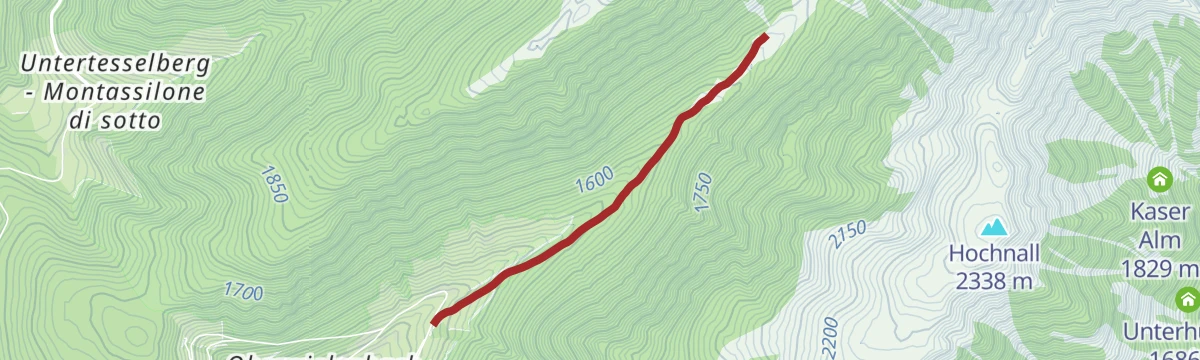
Hiking to the Lercher Alp Hut
A short easy climb into the Valle di Vila to the Lercher alp hut, with no difficulties and fine for children.
Planning a trip to Perca/Percha?
Everything else Trentino-Alto Adige/Südtirol has, in one place


Take Perca/Percha with you into the mountains
Every route on this page with 3D terrain, GPX navigation and offline maps — including the valleys with no signal.
Data sources
- Official website: merano-suedtirol.it ↗
- Routes and highlights: Tourismusgenossenschaft Antholzertal, Sterzing, Pfitsch und Freienfeld, Bruneck Kronplatz Tourismus, AVS Sektion Sand in Taufers, Gitschberg - Jochtal, YesAlps, Dolomiti, Kiens, Olang, Ski- und Wandergebiet Kronplatz
- Published as open data by the tourist boards named above.
- Region summary generated from the board's own material.
