
















Curated by APT Valli di Sole, Peio e Rabbi
Pellizzano
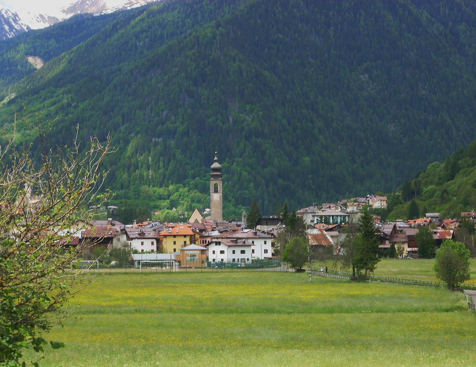
Val di Sole village on the Noce, between the Stelvio and Adamello parks, with the Val di Rabbi opening south.
Photo: Gio 2000 · Public domain
- 8Highlights
- 34Routes
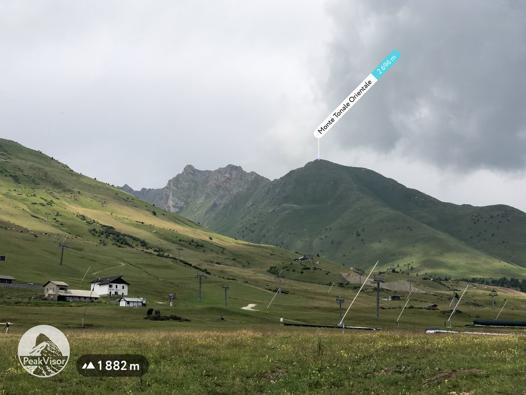
- Featured summit · Monte Tonale Orientale
Highlights
All 8 from neighbouring places
Malga Maleda
10.8 km away, in Rabbi
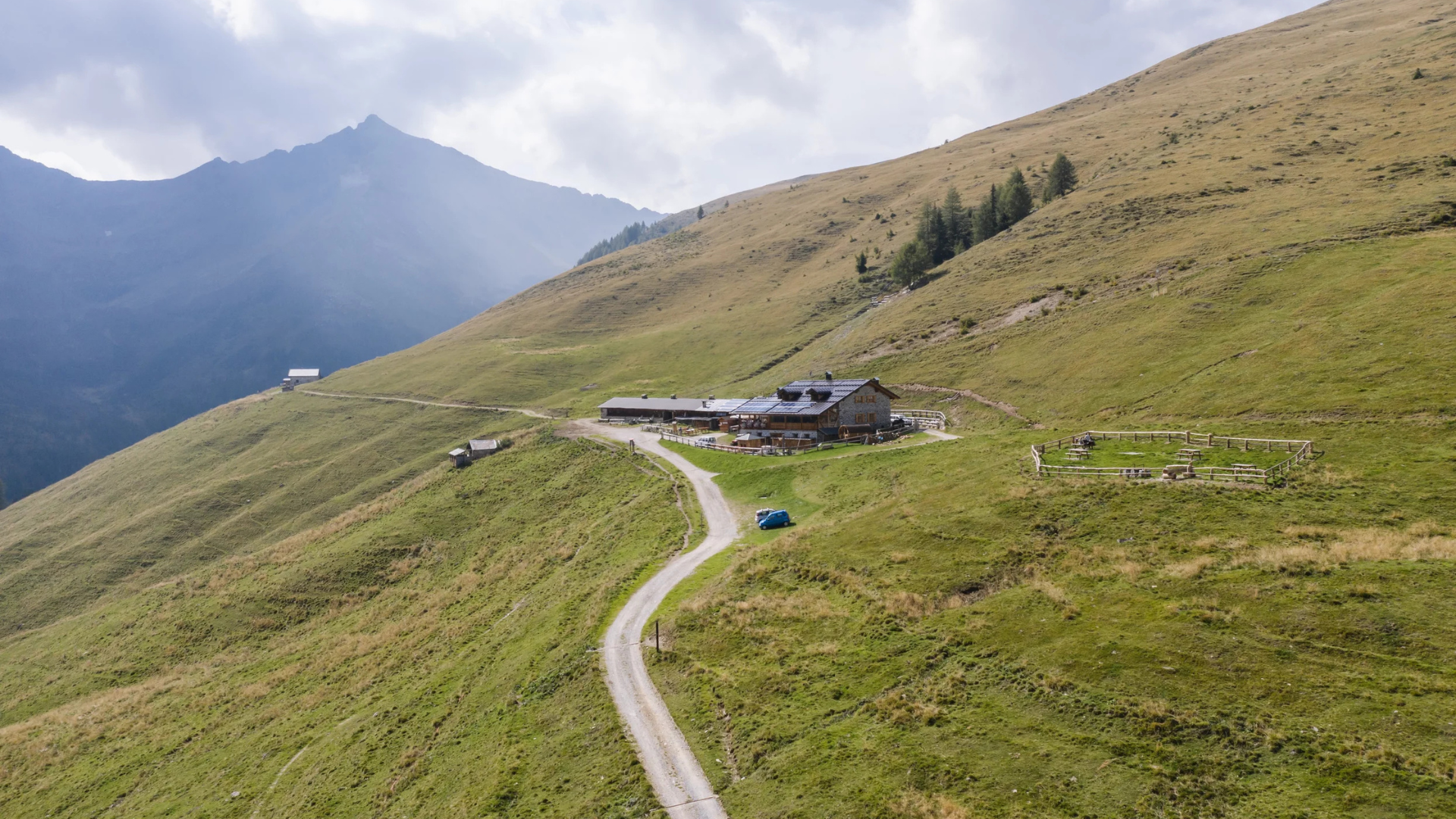
The Stablaz Alta pasture, also called Maleda Alta, high on the eastern side of the Val di Rabbi.
Malga Monte Sole
11.6 km away, in Rabbi
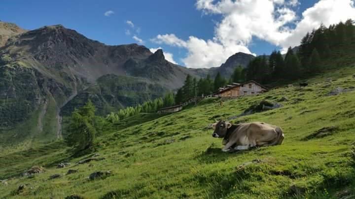
A dairy pasture on the sunny side of the Val di Rabbi, in the Stelvio national park.
Malga Fratte
12.8 km away, in Rabbi
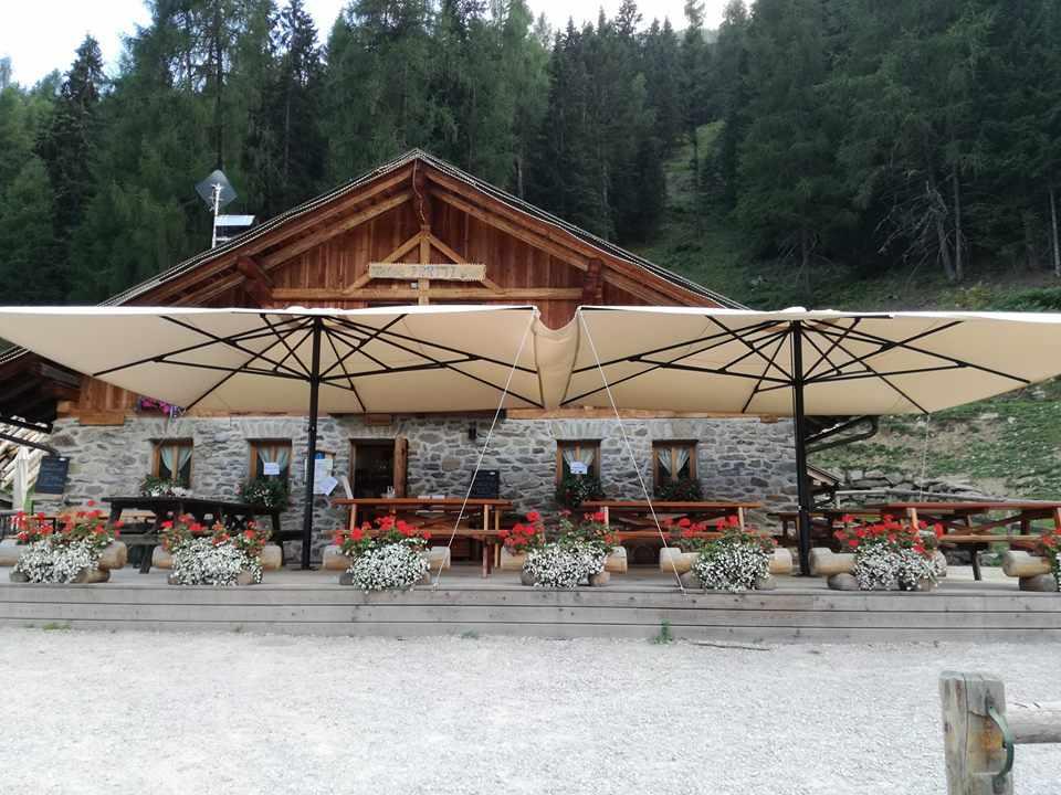
A dairy pasture in the lower Val di Rabbi, on the paths into the Stelvio national park.
Bambi Chalet
13.9 km away, in Rabbi
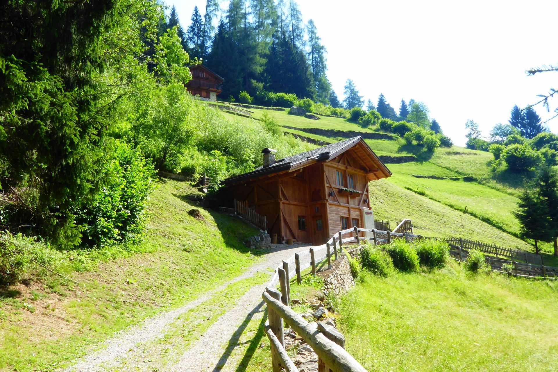
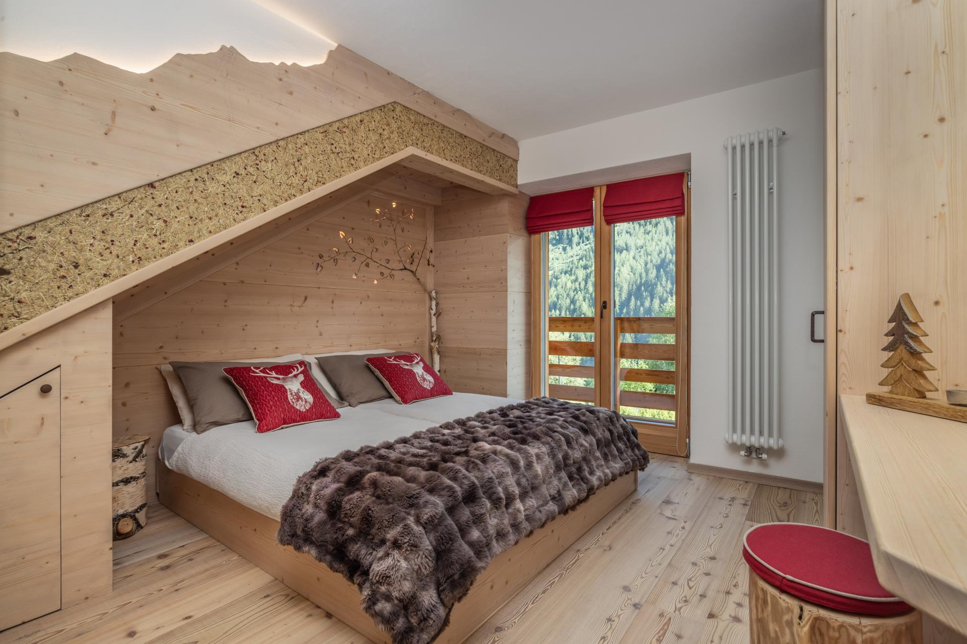
A converted hay barn in the Val di Rabbi, kept as it was built, in the Stelvio national park.
MAS DEL MEZDI'
14.6 km away, in Rabbi
A detached chalet at Somrabbi in the Val di Rabbi, inside the Stelvio national park.
Rifugio Silvio Dorigoni
14.8 km away, in Rabbi
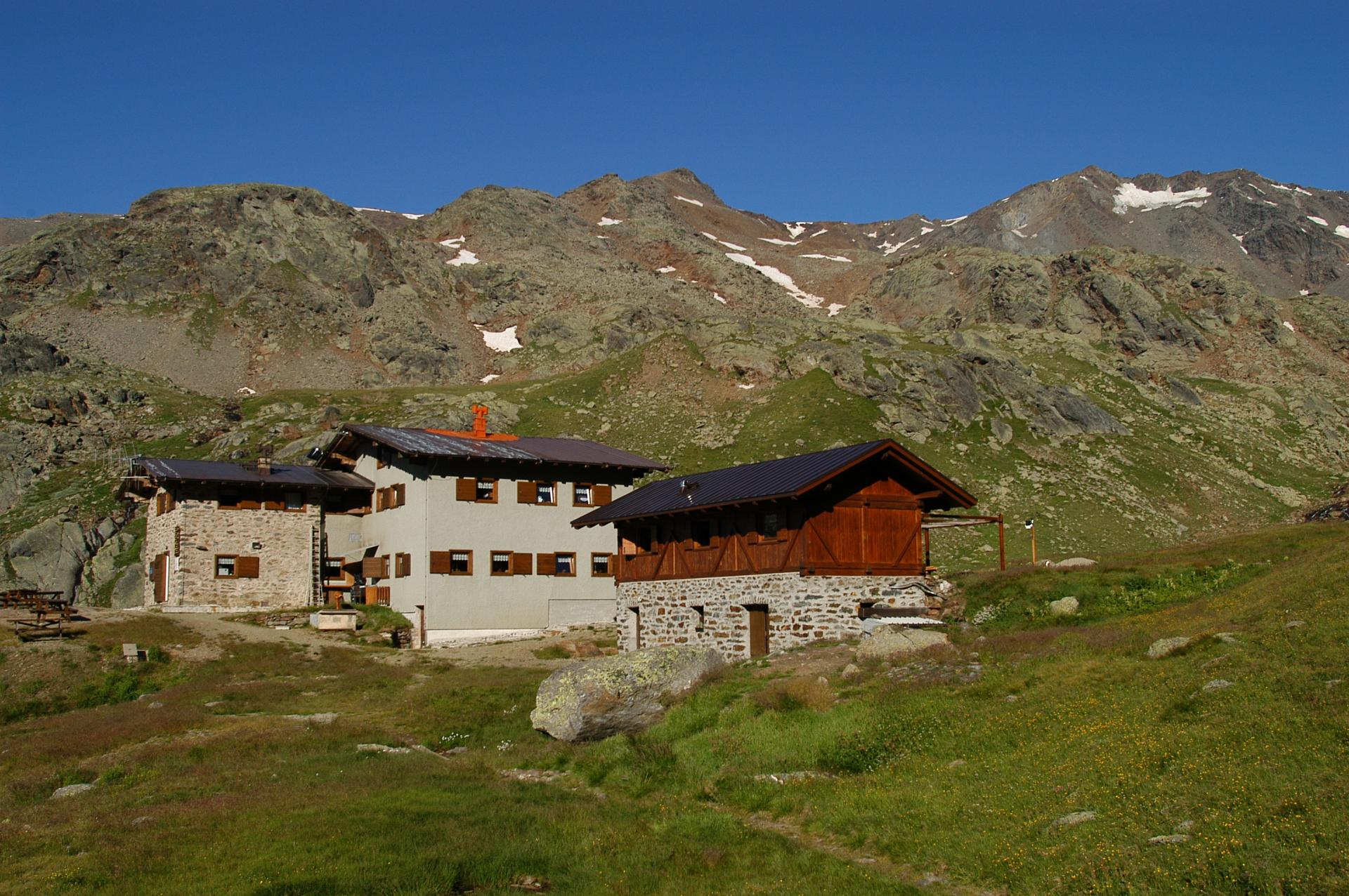
A CAI hut in the Val Saent, the wildest side valley of Rabbi, below the Cevedale ridge.
Chiesa della Santissima Trinità
14.1 km away, in Ponte di Legno
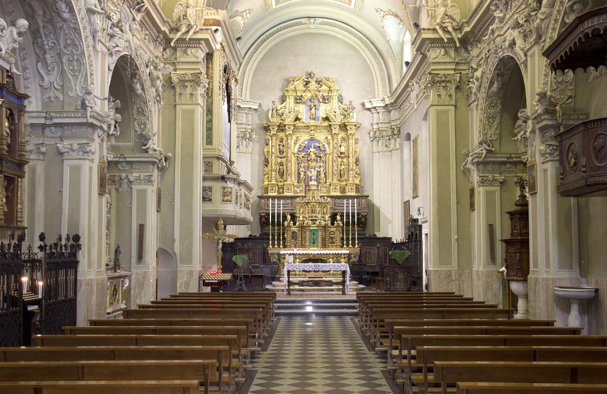
A sixteenth-century church on a knoll in the middle of Ponte di Legno, at the head of the Val Camonica.
Parco Nazionale dello Stelvio
14.4 km away, in Ponte di Legno
Italy's largest national park, spanning Lombardy, Trentino and South Tyrol around the Ortles-Cevedale glaciers.
Nothing of this kind in Pellizzano.
Routes
Walk from Rifugio Fazzon to Lago dei Caprioli
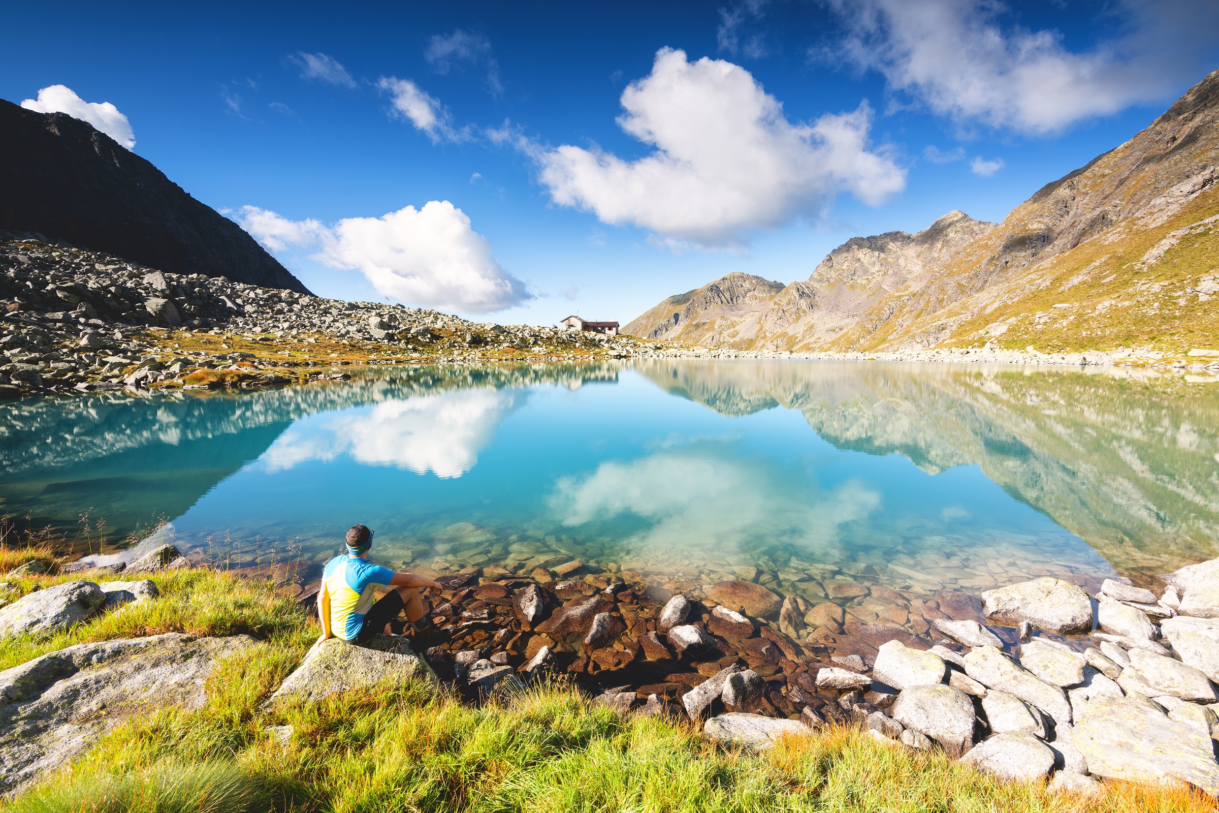
A brief walk from the Rifugio Fazzon to the Lago dei Caprioli, in quiet forest on the edge of the Adamello group.
- 1.5 km
- Distance
- 52 m
- Ascent
- 29 min
- Duration
- 17
- Check-ins
 Rifugio Alpino Fazzon 1 254 m
- Agritur Malga Bassa 1 279 m
- Chalet Ristorante Lago dei Caprioli 1 317 m
Open route APT Valli di Sole, Peio e RabbiLake dei Caprioli Loop
A circuit above Pellizzano in the Val di Sole to Lago dei Caprioli, passing the Rifugio Alpino Fazzon and the Malga Bassa farm.
- 13.0 km
- Distance
- 418 m
- Ascent
- 4 h 6 min
- Duration
- 31
- Check-ins
 Lago dei Caprioli 1 321 m
- Rifugio Alpino Fazzon 1 254 m
- Agritur Malga Bassa 1 279 m
- Chalet Ristorante Lago dei Caprioli 1 317 m
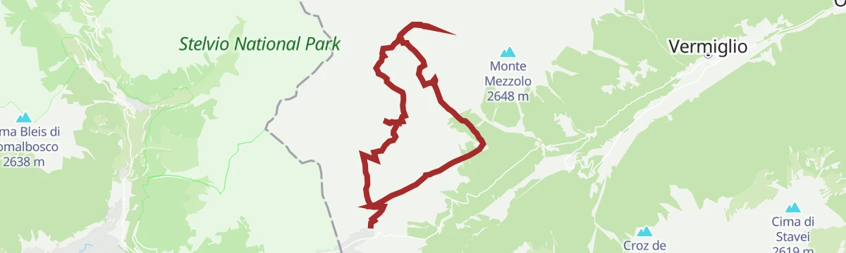
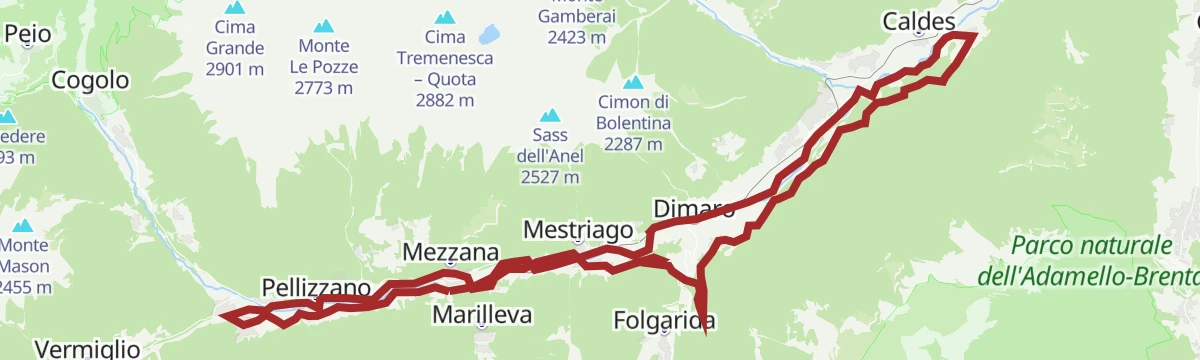
Open route APT Valli di Sole, Peio e RabbiDead City and Strino Small Lakes
A circuit over the steep grass of Monte Tonale Orientale to the Città Morta, an Austro-Hungarian settlement of the Great War, then the Strino tarns under Monte Redival and Forte Zaccarana.
- 18.2 km
- Distance
- 1 066 m
- Ascent
- 7 h 26 min
- Duration
- 35
- Check-ins
 Monte Tonale Orientale 2 696 m
- Hotel La Mirandola 1 976 m
- Bacino di Valbiolo 2 066 m
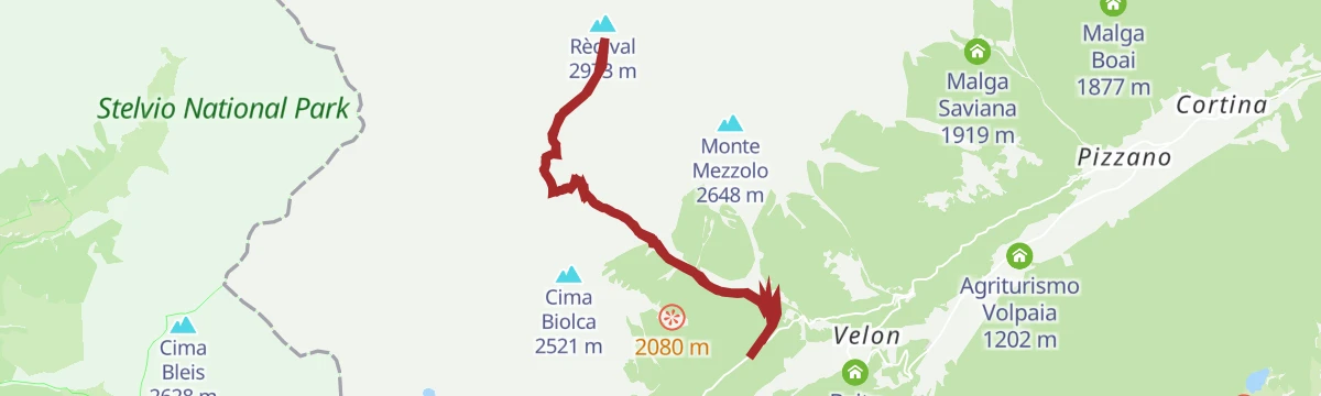
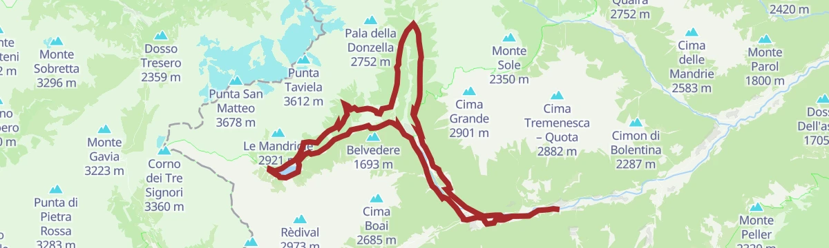
Open route APT Valli di Sole, Peio e RabbiSki mountaineering on Monte Redival
A sunny, high ski tour on Monte Redival with a wide summit panorama; the upper slopes are steep enough to need settled snow and practised skiers.
- 13.5 km
- Distance
- 1 344 m
- Ascent
- 1 343 m
- Descent
- 5 h 10 min
- Duration
- 6
- Check-ins
Open route VisitTrentinoTRANSALP 2006: Malè - Madonna di Campiglio
The seventh stage of the 2006 Transalp, up the Val di Sole to the Malga Panciana and over Monte Vigo to Campiglio.
- 47.1 km
- Distance
- 2 138 m
- Ascent
- 5 h 56 min
- Duration
- 240
- Check-ins
- Monte Vigo 2 179 m
- Rifugio Orso Bruno 2 200 m
- Fortini 1 629 m
- LAB Après-Ski 1 632 m
- Rifugio Alpe Daolasa 2045 2 041 m
- Malga Panciana 1 886 m
- +13
Open route APT Valli di Sole, Peio e RabbiAlpine Gravel Monte Vigo
A gravel climb up the Val Meledrio to Alpe Daolasa and on to the top of Monte Vigo, returning past the Lago dei Caprioli.
- 47.0 km
- Distance
- 1 588 m
- Ascent
- 5 h 40 min
- Duration
- 182
- Check-ins
- Monte Vigo 2 179 m
- Cascata del Pison 1 151 m
- Rifugio Orso Bruno 2 200 m
- Rifugio Alpe Daolasa 2045 2 041 m
- Malga Panciana 1 886 m
- Lago dei Caprioli 1 321 m
- +13
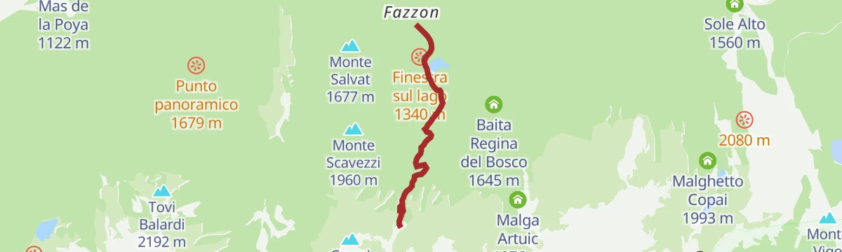
Open route APT Valli di Sole, Peio e RabbiLago Fazzon G
A short walk at the Fazzon lake above Pellizzano, in the conifer woods on the northern side of the Val di Sole.
- 741 m
- Distance
- 39 m
- Ascent
- 17 min
- Duration
- 16
- Check-ins
Open route Trentino FishingAlta Via degli Alpeggi
A high traverse above the Val di Sole on forest roads and paths, linking working mountain pastures in sight of the Presanella and the Brenta group.
- 10.4 km
- Distance
- 428 m
- Ascent
- 3 h 29 min
- Duration
- 23
- Check-ins
Open route APT Valli di Sole, Peio e RabbiTedeschi Trail
A long trail through the Val di Peio cut by soldiers during the First World War, with military ruins still standing along its length.
- 17.8 km
- Distance
- 457 m
- Ascent
- 6 h 7 min
- Duration
- 29
- Check-ins
- Rifugio Doss dei Cembri / Doss dei Gembri 2 316 m
- Ristorante Fontanino 1 676 m
- Malga Giumella 1 950 m
Open route APT Valli di Sole, Peio e RabbiAlpine Gravel Passo Tonale
A gravel ride up the upper Val di Sole from Mezzana through Vermiglio to the Passo del Tonale, returning past old Austro-Hungarian forts.
- 47.0 km
- Distance
- 1 234 m
- Ascent
- 5 h 20 min
- Duration
- 76
- Check-ins
 Passo del Tonale 1 883 m
- Hotel La Mirandola 1 976 m
- Bar Cadì 1 883 m
- Il Faita 1 824 m
- Malga Cadì 1 928 m
- Baita Velon 1 347 m
- +2
Open route APT Valli di Sole, Peio e RabbiTrail Stabli Loop N° 726
A short loop from the car park below Malga Stabli above Ortise, climbing a dirt track into thinning larch and open pasture.
- 6.8 km
- Distance
- 345 m
- Ascent
- 2 h 30 min
- Duration
- 16
- Check-ins
Open route APT Valli di Sole, Peio e RabbiBivacco Malga Baselga
A steep climb from Lago dei Caprioli through larch and rhododendron to the Baselga bivouac, on a green shelf under granite peaks.
- 6.9 km
- Distance
- 729 m
- Ascent
- 4 h 25 min
- Duration
- 22
- Check-ins
- Lago dei Caprioli 1 321 m
- Agritur Malga Bassa 1 279 m
- Chalet Ristorante Lago dei Caprioli 1 317 m
- Bivacco Malga Baselga 2 006 m
Open route APT Valli di Sole, Peio e RabbiMalga Stabli - Malga Bronzolo Loop
A long loop through larch woods to Malga Stabli, a pasture terrace facing the Presanella and the Brenta, and on to the grazing at Malga Bronzolo.
- 17.0 km
- Distance
- 835 m
- Ascent
- 6 h 8 min
- Duration
- 14
- Check-ins
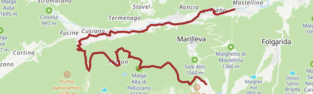
Open route APT Valli di Sole, Peio e RabbiTrail Lago dei Caprioli
A ride from Malga Panciana on dirt road and trail by Malga Fazzon and Monte Salvat to Valpiana, returning on the valley cycle path.
- 20.8 km
- Distance
- 155 m
- Ascent
- 2 h 22 min
- Duration
- 30
- Check-ins
- Malga Alta di Pellizzano 1 558 m
- Rifugio Alpino Fazzon 1 254 m
- Agritur Malga Bassa 1 279 m
- Rifugio Orti 1 886 m
- Bar ristorante pizzeria Kristall 892 m
Open route APT Valli di Sole, Peio e RabbiLago dei Caprioli - Malga Alta di Fazzon
A quiet forest walk from Lago dei Caprioli up to Malga Alta di Fazzon, which serves its own food and looks over the upper Val di Peio.
- 3.1 km
- Distance
- 224 m
- Ascent
- 1 h 30 min
- Duration
- 13
- Check-ins
Open route APT Valli di Sole, Peio e RabbiLake dei Caprioli - Malga Alta - Lake Stablo
A route from Lago dei Caprioli up to Malga Alta and the murky Lago Stablo, with the Vioz and Cevedale of the Ortles group in sight.
- 6.7 km
- Distance
- 415 m
- Ascent
- 2 h 51 min
- Duration
- 21
- Check-ins
- Malga Alta di Pellizzano 1 558 m
- Agritur Malga Bassa 1 279 m
- Chalet Ristorante Lago dei Caprioli 1 317 m
- Baita Regina del Bosco 1 645 m
Open route APT Valli di Sole, Peio e RabbiMalga Campo Fun Tour
A long and technical circuit through the middle and upper reaches of the Val di Sole, with the Brenta, Presanella, Vioz and Cevedale in view on the climb.
- 28.7 km
- Distance
- 1 314 m
- Ascent
- 10 h
- Duration
- 9
- Check-ins
Open route APT Valli di Sole, Peio e RabbiAlpine Gravel Lake Celentino
A gravel climb from Mezzana into the Val di Peio, working up through Malga Campo to the small tarn at Lago di Celentino above 2,000 m.
- 44.9 km
- Distance
- 1 667 m
- Ascent
- 5 h 33 min
- Duration
- 26
- Check-ins
- Malga Stabli 1 814 m
- Malga del Monte alta 2 106 m
- Malga Bronzolo 2 084 m
- Bivacco Pozze 2 089 m
- Lago di Celentino 2 068 m
- Nestalp - Malga Campo 1 979 m
- +1
Open route APT Valli di Sole, Peio e RabbiMalga Alta di Fazzon
A forest walk from Marilleva 1400 to Malga Alta di Fazzon, a working dairy looking over the upper Val di Peio to the Ortles-Cevedale.
- 4.4 km
- Distance
- 205 m
- Ascent
- 1 h 48 min
- Duration
- 13
- Check-ins
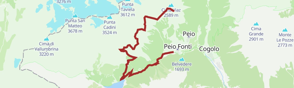
Open route APT Valli di Sole, Peio e RabbiLake Pian Palù Circular Route
A circuit inside the Stelvio National Park to the pale blue reservoir of Pian Palù, returning by Malga Frattasecca.
- 11.5 km
- Distance
- 463 m
- Ascent
- 3 h 51 min
- Duration
- 9
- Check-ins
Open route APT Valli di Sole, Peio e RabbiTrail Malga Campo No. 707
A demanding upland circuit to Malga Campo, high above the Val di Sole and facing the Presanella, Vioz and Cevedale, with technical descending.
- 29.1 km
- Distance
- 1 274 m
- Ascent
- 9 h 58 min
- Duration
- 9
- Check-ins
Open route APT Valli di Sole, Peio e RabbiVal di Sole Cycle Path
A long valley cycle path beside the Noce, running down from Cogolo di Peio as far as Mostizzolo, with a side option into Val di Peio.
- 43.5 km
- Distance
- 365 m
- Ascent
- 4 h 24 min
- Duration
- 20
- Check-ins
- Mostizzolo 592 m
- Bucaneve 809 m
- Associazione sportiva 618 m
- Hotel Job 755 m
- Al cervo 896 m
- Bar ristorante pizzeria Kristall 892 m
- +3
Open route APT Valli di Sole, Peio e RabbiMalga Strino
A walk to Malga Strino, a dairy that served as a military post on the Austro-Hungarian frontier; wartime structures and a military cemetery lie just above it.
- 6.7 km
- Distance
- 322 m
- Ascent
- 2 h 25 min
- Duration
- 3
- Check-ins
Open route APT Valli di Sole, Peio e RabbiPellizzano - Deer Lake
A climb from Pellizzano on the Gnome Path, lined with carvings in wood and stone, to Lago dei Caprioli.
- 6.6 km
- Distance
- 378 m
- Ascent
- 2 h 39 min
- Duration
- 9
- Check-ins
Open route APT Valli di Sole, Peio e RabbiTrail Larici Secolari No. 703
A long climb to the old larch wood above the Val di Sole, then nine kilometres of single track down, past a larch of more than seven hundred years.
- 22.6 km
- Distance
- 1 046 m
- Ascent
- 7 h 53 min
- Duration
- 8
- Check-ins
- Bucaneve 809 m
- Al cervo 896 m
- Bar ristorante pizzeria Kristall 892 m
- Dolce Amaro 810 m
- Malga del monte bassa 1 702 m
Open route APT Valli di Sole, Peio e RabbiAlpine Gravel Pejo
A gravel route from Mezzana into the Val de la Mare on steep forest roads to Malga Pontevecchio, with Malga Giumella and Peio on the loop.
- 60.5 km
- Distance
- 1 847 m
- Ascent
- 7 h 6 min
- Duration
- 18
- Check-ins
- Ristorante Fontanino 1 676 m
- Malga Palù 1 825 m
- Il Cantuccio del gusto 1 404 m
- Malga Pontevecchio 1 768 m
- Malga Giumella 1 950 m
- Colonia 997 m
- +2
Open route APT Valli di Sole, Peio e RabbiLake Caprioli - Monte Salvat - Valpiana
A traverse from Malga Bassa di Fazzon over Monte Salvat into Valpiana, a pasture basin hung at right angles above Ossana.
- 7.9 km
- Distance
- 254 m
- Ascent
- 2 h 29 min
- Duration
- 8
- Check-ins
Open route APT Valli di Sole, Peio e RabbiCima Vegaia
A long ascent above Mezzana to Cima Vegaia, the main summit of the Vegaia group on the north side of the Val di Sole.
- 13.2 km
- Distance
- 1 322 m
- Ascent
- 8 h 9 min
- Duration
- 4
- Check-ins
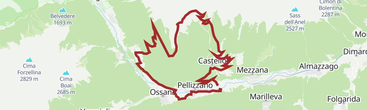
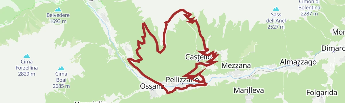
Open route VisitTrentinoSalita Lago dei Caprioli No. 718
A ride from Pellizzano along the cycle path past Castel San Michele at Ossana, then up a gravel road to the Valpiana pasture and its picnic ground.
- 15.9 km
- Distance
- 478 m
- Ascent
- 1 h 52 min
- Duration
- 9
- Check-ins
Open route APT Valli di Sole, Peio e RabbiOrtisè – Malga Pozze
A walk through woods to the pastures of Malga Pozze above the Val di Sole, facing the Presanella range, usable in winter as well.
- 10.0 km
- Distance
- 454 m
- Ascent
- 3 h 28 min
- Duration
- 4
- Check-ins
Open route APT Valli di Sole, Peio e RabbiTorrente Noce B
A long valley-floor walk down the Noce through Val di Sole, linking Mezzana, Marilleva, Dimaro and Monclassico.
- 16.9 km
- Distance
- 304 m
- Ascent
- 4 h 27 min
- Duration
Open route Trentino FishingAlpine Gravel Lower Valley
A gravel loop across the lower Val di Sole, part valley cycle path and part dirt lane, running out past Ossana's castle walls to Monclassico.
- 48.7 km
- Distance
- 883 m
- Ascent
- 5 h 9 min
- Duration
- 2
- Check-ins
Open route APT Valli di Sole, Peio e RabbiMezzana - Mezzana Waterfall - Castle
A loop from Mezzana to the waterfall above the village, then up to the hamlet of Castello at 1,283 m and back by way of Claiano.
- 7.3 km
- Distance
- 365 m
- Ascent
- 2 h 42 min
- Duration
- 1
- Check-ins
Open route APT Valli di Sole, Peio e RabbiGreat War trekking in Val del Monte
A route through Great War remains in the Val del Monte: trenches, huts and military paths, with rock-cut tunnels used as lookouts and ammunition stores.
- 13.7 km
- Distance
- 976 m
- Ascent
- 6 h 1 min
- Duration
Open route Parco Nazionale dello Stelvio (settore Trentino)
No routes of this kind in Pellizzano yet.
The region's own picks

Featured route
Walk from Rifugio Fazzon to Lago dei Caprioli
A brief walk from the Rifugio Fazzon to the Lago dei Caprioli, in quiet forest on the edge of the Adamello group.
Planning a trip to Pellizzano?
Everything else Trentino-Alto Adige/Südtirol has, in one place


Take Pellizzano with you into the mountains
Every route on this page with 3D terrain, GPX navigation and offline maps — including the valleys with no signal.
Data sources
- Official website: visitvaldisole.it ↗
- Routes and highlights: APT Valli di Sole, Peio e Rabbi, Valdirabbi, Visitbrescia, VisitTrentino, Trentino Fishing, Parco Nazionale dello Stelvio (settore Trentino)
- Published as open data by the tourist boards named above.
- Region summary generated from the board's own material.
