
 Historic site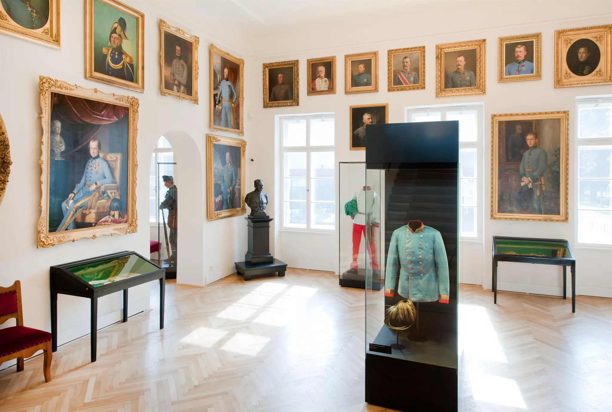










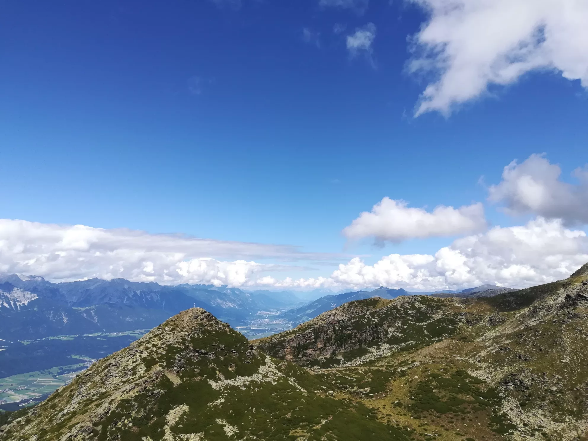
Curated by Innsbruck Tourismus
Patsch
A village at nearly 1000 m on the western flank of the Patscherkofel above the Wipptal, with an alpine garden and the Goldbichl archaeology trail.
- 1Highlights
- 26Routes
- Featured summit · Sonnenspitze
Highlights
14 from neighbouring places
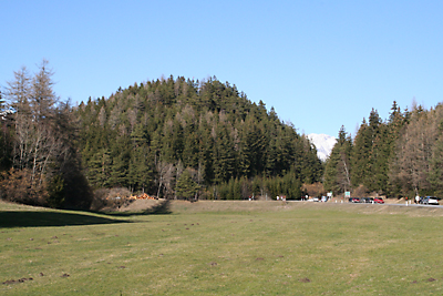
Archäologielehrpfad Goldbichl
An archaeological trail on the Goldbichl hill above Igls (870 m), interpreting a prehistoric ritual site excavated on the summit.
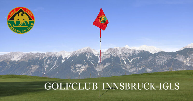
Golfclub Innsbruck-Igls - Golfplatz Lans (9-Loch)
4.7 km away, in Lans
A nine-hole course of Golfclub Innsbruck-Igls at Lans (867 m) on the plateau south of the city, played with mountain views.
Alpenvereinshütte Meissner Haus
4.8 km away, in Ellbögen
An Alpine Club hut in the Viggartal above Ellbögen, south of Innsbruck, offering meals and beds to walkers below the Glungezer ridge.
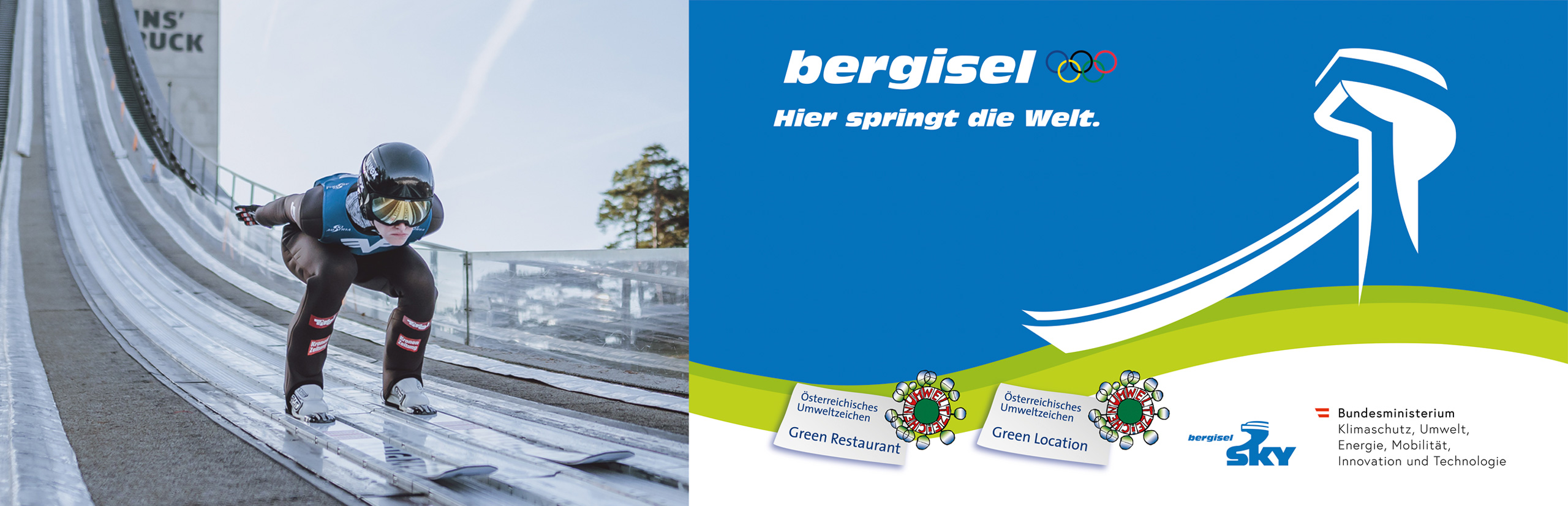
Bergisel Schanze
5.5 km away, in Innsbruck
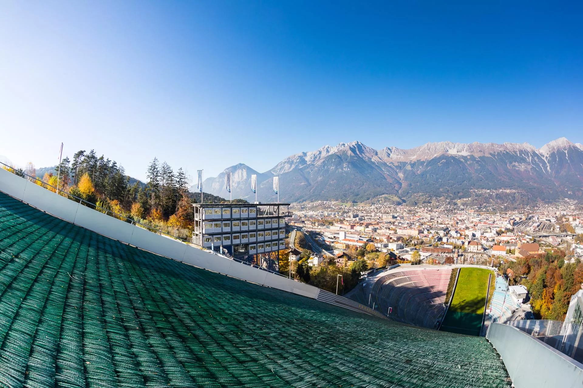
The ski-jumping hill above Innsbruck, rebuilt in 2002 to a Zaha Hadid design; its tower overlooks the city and the jump hosts a Four Hills Tournament event each January.
Bergisel Sprungschanze
5.6 km away, in Innsbruck
The ski-jumping hill on the Bergisel above Innsbruck, rebuilt to a Zaha Hadid design in 2002 and a fixture of the Four Hills Tournament.
Das Tirol Panorama
5.7 km away, in Innsbruck
A museum at Bergisel above Innsbruck built around the giant 360-degree painting of the 1809 Tyrolean uprising led by Andreas Hofer.
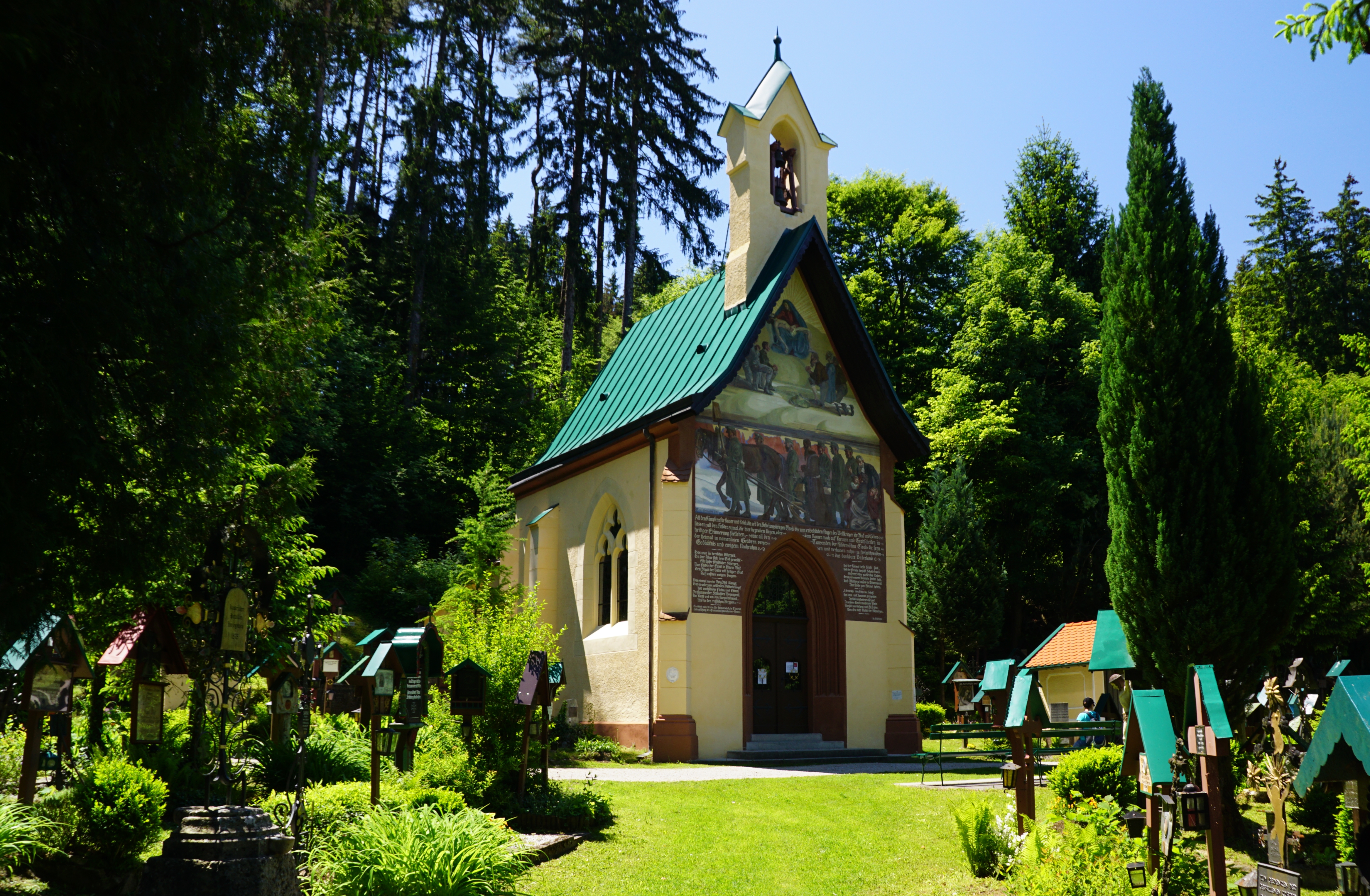
Tummelplatz Historischer Waldfriedhof
5.8 km away, in Innsbruck
A wooded memorial cemetery near Schloss Ambras where soldiers from Innsbruck's garrison hospitals were buried in the Napoleonic era.
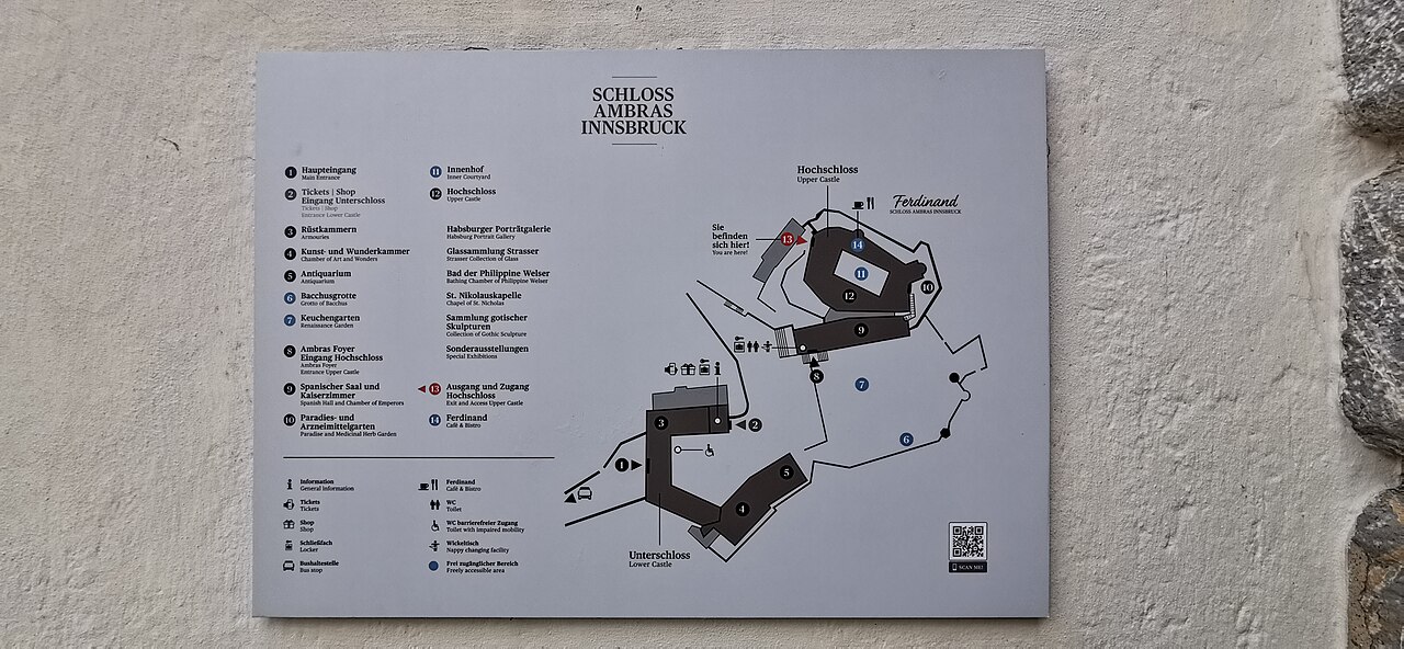
Schloss Ambras Innsbruck
5.9 km away, in Innsbruck
A Renaissance castle above Innsbruck where Archduke Ferdinand II installed his collections; its Chamber of Art and Curiosities and Spanish Hall survive.
Stiftskirche Stiftsmuseum Wilten
6 km away, in Innsbruck
The baroque church of the Premonstratensian abbey of Wilten in Innsbruck; the adjoining museum shows pieces from the abbey's collections.
Basilika Wilten
6.1 km away, in Innsbruck
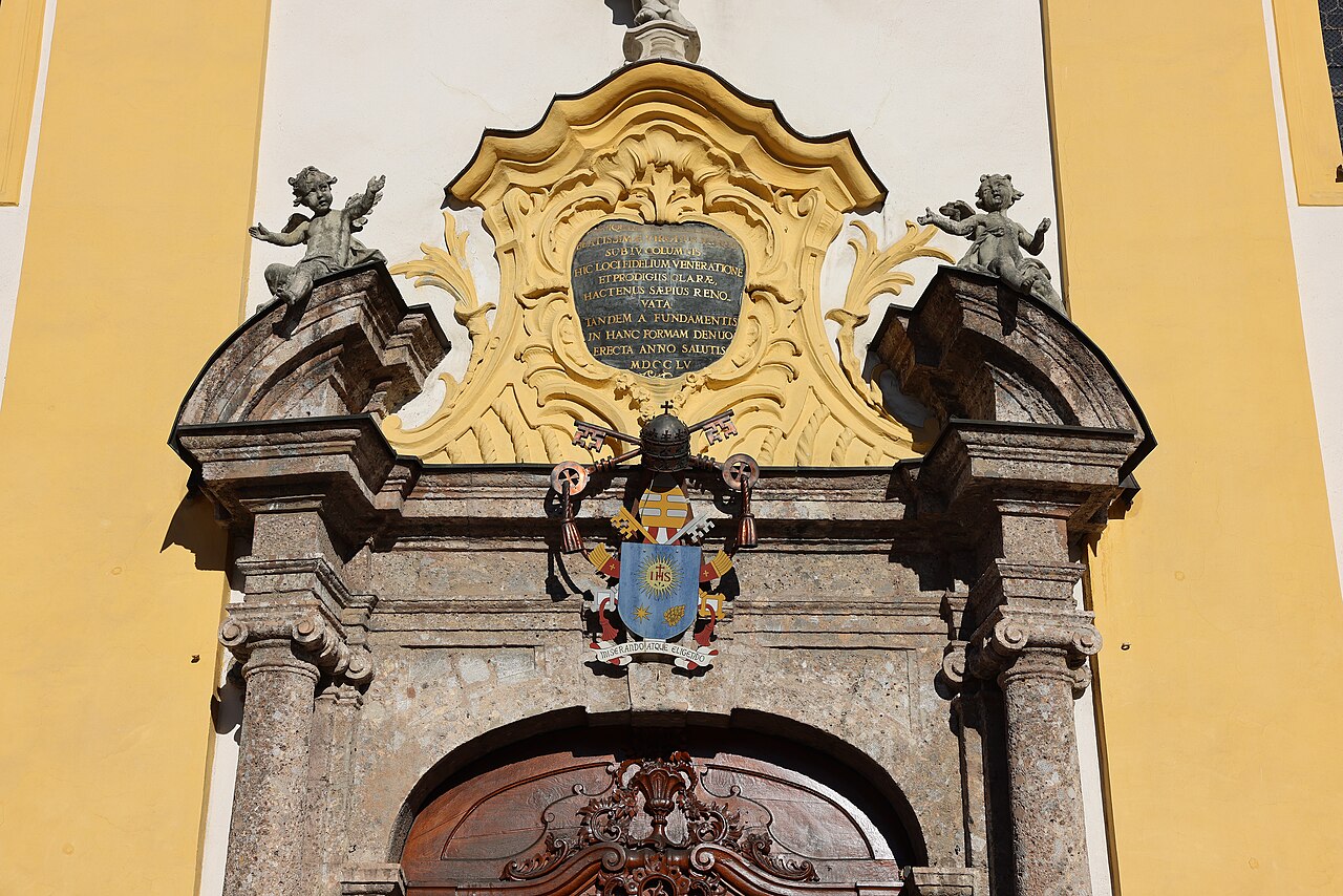
An 18th-century pilgrimage basilica in Innsbruck's Wilten district, with a rococo interior and a venerated image of the Virgin.
Glockengießerei Grassmayr
6.3 km away, in Innsbruck
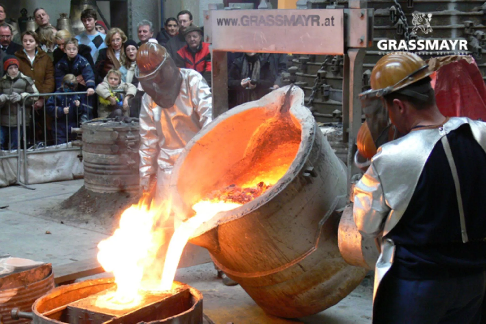
The Grassmayr bell foundry in Innsbruck, casting church bells since 1599, with a museum on the craft and the sound of bells.
Freibad Tivoli
6.5 km away, in Innsbruck
Innsbruck's large open-air pool complex by the Tivoli grounds, with swimming and diving pools, lawns and a view of the Nordkette.
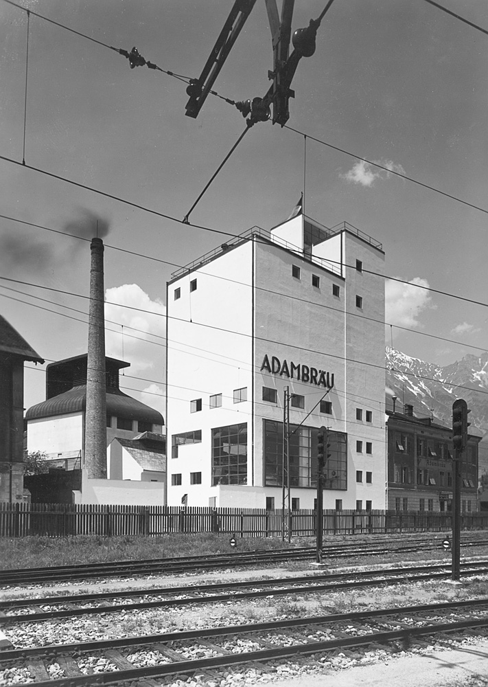
Adambräu Sudhaus
6.8 km away, in Innsbruck
The brewhouse of the former Adambräu brewery by Innsbruck's main station, a 1920s industrial building now used by the architecture centre aut.
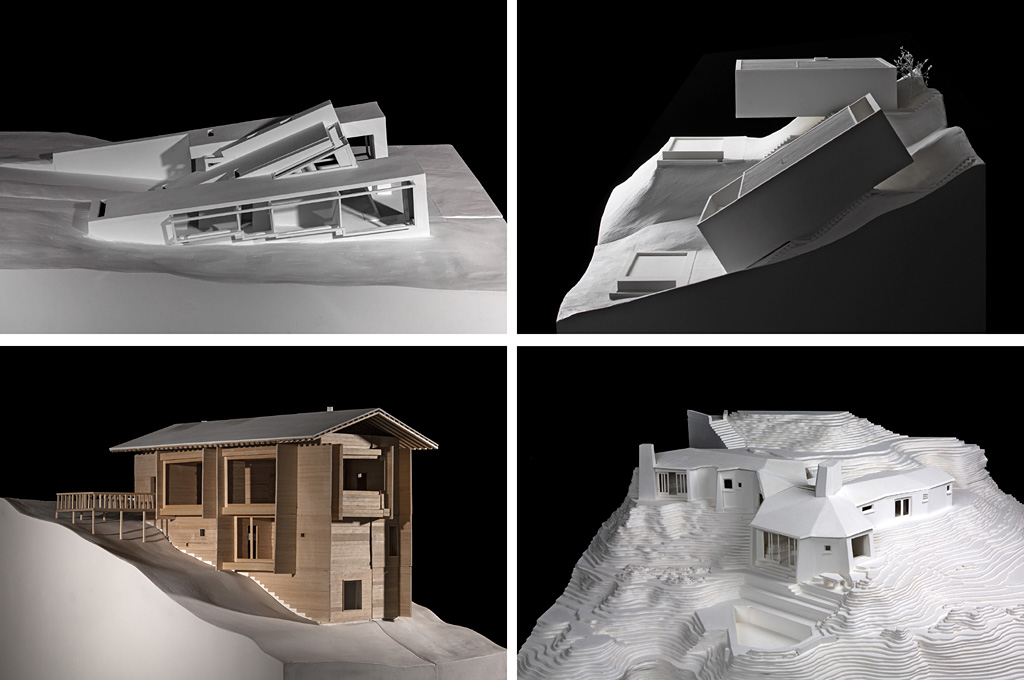
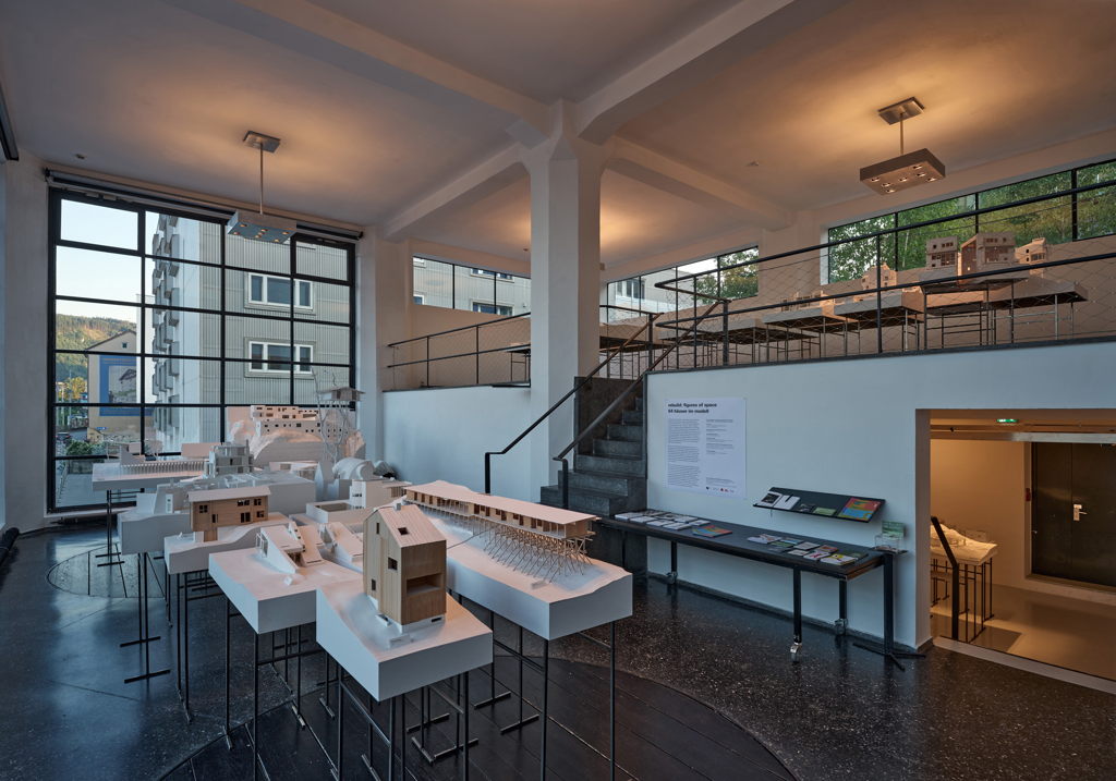
Ausstellungseröffnung Rebuild: Figures of Space: 64 Häuser im Modell
6.8 km away, in Innsbruck
The opening event of the exhibition Rebuild: Figures of Space at the aut architecture centre in Innsbruck, presenting 64 houses in model form.
Rebuild: Figures of Space: 64 Häuser im Modell
6.8 km away, in Innsbruck
An exhibition at the aut architecture centre in Innsbruck showing 64 houses in model form under the title Rebuild: Figures of Space.
Nothing of this kind in Patsch.
Routes
Jochleitensteig-rund um den Patscherkofel
Easy contouring path circling the Patscherkofel's summit cone through stone pines, linking the Schutzhaus with Boscheben and the Grünbodenhütte.
- 5.6 km
- Distance
- 277 m
- Ascent
- 2 h 2 min
- Duration
- 56
- Check-ins
Adlerweg Etappe 13: Almrosen, Zirben, Tannenhäher
The much-walked stone pine path above Innsbruck, 7.8 km from the Patscherkofel top station to the Tulfeinalm with barely 200 m of climb.
- 7.8 km
- Distance
- 191 m
- Ascent
- 2 h 13 min
- Duration
- 70
- Check-ins
Vier Gipfel Tour entlang des Glungezer Höhenweges
Ridge line of 14.6 km over the Patscherkofel, Viggarspitze, Sonnenspitze and Glungezer, 1,077 m of climb away from the busy pine path below.
- 14.6 km
- Distance
- 1 036 m
- Ascent
- 6 h 43 min
- Duration
- 115
- Check-ins
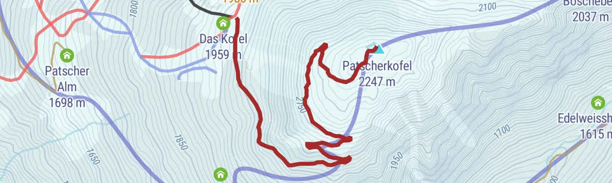
Skitour - Gipfelroute Patscherkofel
Short marked ascent route on the Patscherkofel leading from the tree line to the summit transmitter and the Schutzhaus, reachable from Innsbruck by bus line J.
- 2.9 km
- Distance
- 284 m
- Ascent
- 284 m
- Descent
- 1 h 6 min
- Duration
- 34
- Check-ins
Pisten-skitour Patscherkofel
Fitness-oriented piste tour on Innsbruck's home mountain, climbing nearly 1,000 m in under 4 km from the valley station up to the Schutzhaus.
- 3.8 km
- Distance
- 958 m
- Ascent
- 958 m
- Descent
- 2 h 58 min
- Duration
- 29
- Check-ins
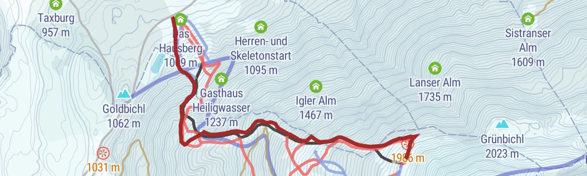
Patscherkofel Rundkurs (500)
A forest-road loop above Igls, running past the Gasthaus Heiligwasser and the men's skeleton start and over the Goldbichl knoll.
- 8.8 km
- Distance
- 354 m
- Ascent
- 1 h 7 min
- Duration
- 13
- Check-ins
Patscherkofel-Gipfel (501)
A long forest-road climb from the Innsbruck valley floor to the Schutzhaus and the Gipfelstube at 2,242 m, with the Hochmahdalm on the way.
- 28.7 km
- Distance
- 1 463 m
- Ascent
- 4 h 2 min
- Duration
- 52
- Check-ins
Fernradweg München-Venezia: 2. Abschnitt, die Schatzkiste Tirol
A long-distance stage down the Inn valley to Innsbruck and then up the Wipptal to the Brenner Pass, with rail stops at Pill-Vomperbach and Steinach.
- 82.0 km
- Distance
- 1 563 m
- Ascent
- 8 h 45 min
- Duration
- 33
- Check-ins
Vitalweg Patscherkofel
Health-themed loop at the Patscherkofel top station passing the Patscher Alm and Hochmahdalm, with exercise and rest points laid out along the way.
- 3.5 km
- Distance
- 315 m
- Ascent
- 1 h 59 min
- Duration
- 46
- Check-ins
Jochleitensteig - Patscherkofel Gipfel
Combines the contouring Jochleiten path with a finish on the Patscherkofel summit by the transmitter, returning past Boscheben and the Grünbodenhütte.
- 7.1 km
- Distance
- 376 m
- Ascent
- 2 h 42 min
- Duration
- 56
- Check-ins
Almenweg 1600
Marathon-length alm circuit around the Patscherkofel at roughly 1,600 m, linking the Sistranser Alm and Patscher Alm with Boscheben and the Schutzhaus.
- 26.4 km
- Distance
- 996 m
- Ascent
- 8 h 40 min
- Duration
- 63
- Check-ins
Transalp - Sektion Hall - Brenner
A cross-Alpine stage that leaves the Inn valley over the Goldbichl at Rinn, then works up the Wipptal past Matrei and Steinach.
- 38.1 km
- Distance
- 935 m
- Ascent
- 4 h 5 min
- Duration
- 10
- Check-ins
Innsbruck Hochplateau Ride
A demanding tour over the terraces above the Inn valley, taking in the Goldbichl and a string of mid-mountain farms and inns.
- 107.7 km
- Distance
- 2 530 m
- Ascent
- 11 h 57 min
- Duration
- 21
- Check-ins
Patscherkofel - Gipfel
Wide track from the Patscherkofel top station to the summit cross beside the ORS transmitter, an easy high walk with Inntal, Stubai and Zillertal views.
- 6.1 km
- Distance
- 293 m
- Ascent
- 2 h 11 min
- Duration
- 34
- Check-ins
Viggarspitze
Crest walk east from the Patscherkofel lift over the Grünbichl and past Boscheben to a rocky Tuxer forepeak above the Viggartal, following the ridge the whole way.
- 8.5 km
- Distance
- 534 m
- Ascent
- 3 h 40 min
- Duration
- 51
- Check-ins
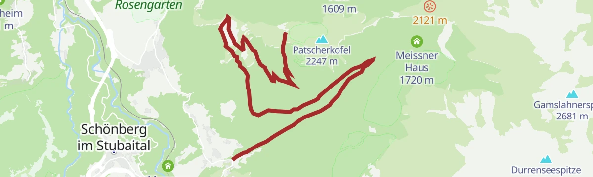
Almenweg 1600 - Etappe 1 - Almenweg durch das Viggartal
First stage of the 1,600 m contour route, swinging through the Viggartal to the Meissner Haus and around to the Patscher Alm - long in distance, gentle in gradient.
- 12.8 km
- Distance
- 429 m
- Ascent
- 4 h 4 min
- Duration
- 60
- Check-ins
30a Wipptalradweg über Römerstraße
A long ride between Steinach am Brenner and the Patscherkofelbahn base station, following the old Roman road above the Wipptal past the Goldbichl.
- 34.5 km
- Distance
- 1 172 m
- Ascent
- 4 h 10 min
- Duration
- 6
- Check-ins
Gletscherblick-Runde - Permanenter IVV Wanderweg
Permanently marked IVV round at Igls past Taxburg and the Grünwalderhof, easy paths with the promised glacier view toward the Stubai Alps.
- 6.4 km
- Distance
- 169 m
- Ascent
- 1 h 55 min
- Duration
Vier-Almen Wanderung - Almweg 1600 entlang des Patscherkofels und Glungezer
Mostly downhill 10.4 km traverse from the Patscherkofel cable car past the Sistranser, Lanser, Aldranser and Rinner Alm, easy but long enough to need some fitness.
- 10.4 km
- Distance
- 257 m
- Ascent
- 3 h 27 min
- Duration
- 40
- Check-ins
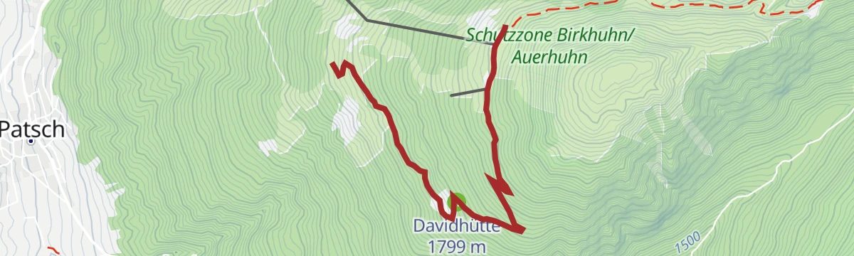
Viggartal Patscherkofel Wanderung (Teilstück 1600er)
Demanding loop from Ellbögen through the Viggartal onto the Patscherkofel, stringing the Patscher Alm, Hochmahdalm and Davidhütte into one long alm circuit.
- 13.4 km
- Distance
- 1 169 m
- Ascent
- 7 h 24 min
- Duration
- 46
- Check-ins
Radtour auf der alten Römerstraße
A road ride linking Igls with Ellbögen along the line of the old Roman road, passing the Goldbichl and its climbing crag.
- 30.6 km
- Distance
- 907 m
- Ascent
- 3 h 34 min
- Duration
- 2
- Check-ins
 Goldbichl 1 062 m
 Tourismusbüro Igls 870 m
 Kneippanlage 868 m
- Grünwalderhof 1 014 m
Grünwalderhof - Patscher Alm
Steady forest climb from the Grünwalderhof in Patsch to the Patscher Alm on the flank of the Patscherkofel, with a hut terrace waiting at the top.
- 10.5 km
- Distance
- 690 m
- Ascent
- 4 h 40 min
- Duration
- 7
- Check-ins
Patscherkofel
Full ascent of Innsbruck's home mountain from the Igls side, climbing past Gasthaus Heiligwasser and through old stone-pine forest to the Schutzhaus near the summit.
- 10.2 km
- Distance
- 1 063 m
- Ascent
- 6 h 29 min
- Duration
- 32
- Check-ins
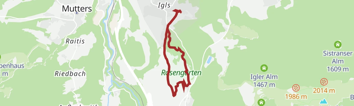
Heiligwasser-Runde - Permanenter IVV Wanderweg
Marked IVV round from Igls climbing to Gasthaus Heiligwasser beside the little pilgrimage church on the Patscherkofel's lower slopes, looping back via the Grünwalderhof.
- 9.0 km
- Distance
- 358 m
- Ascent
- 2 h 59 min
- Duration
- 3
- Check-ins
Speckbacherweg
Long trail across the sunny slopes south of Innsbruck between Tulfes and Ellbögen, named after the Tyrolean freedom fighter Josef Speckbacher.
- 16.4 km
- Distance
- 661 m
- Ascent
- 5 h 29 min
- Duration
- 4
- Check-ins
Jakobsweg: Ellbögen- Igls/Vill
Stage of the Tyrolean Jakobsweg pilgrim route traversing the mid-slopes from Ellbögen to Igls and Vill, long in distance but gentle in gradient.
- 17.2 km
- Distance
- 402 m
- Ascent
- 5 h 2 min
- Duration
No routes of this kind in Patsch yet.
The region's own picks
Featured route
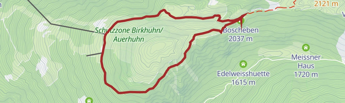
Jochleitensteig-rund um den Patscherkofel
Easy contouring path circling the Patscherkofel's summit cone through stone pines, linking the Schutzhaus with Boscheben and the Grünbodenhütte.
Planning a trip to Patsch?
Everything else Tyrol has, in one place


Take Patsch with you into the mountains
Every route on this page with 3D terrain, GPX navigation and offline maps — including the valleys with no signal.
Data sources
- Official website: innsbruck.info ↗
- Routes and highlights: Innsbruck Tourismus, Region Hall-Wattens, Wilder Kaiser Tourismus, Wipptal Tourismus
- Published as open data by the tourist boards named above.
- Region summary generated from the board's own material.
