
Curated by Villach Tourismus
Paternion
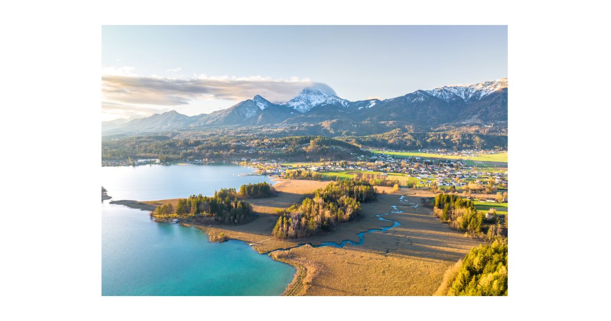
Market community strung along the lower Drautal between Villach and Spittal, farm villages on both banks beneath forested mid-mountain ridges.
- 15Highlights
- 7Routes
Highlights
All 15 from neighbouring places
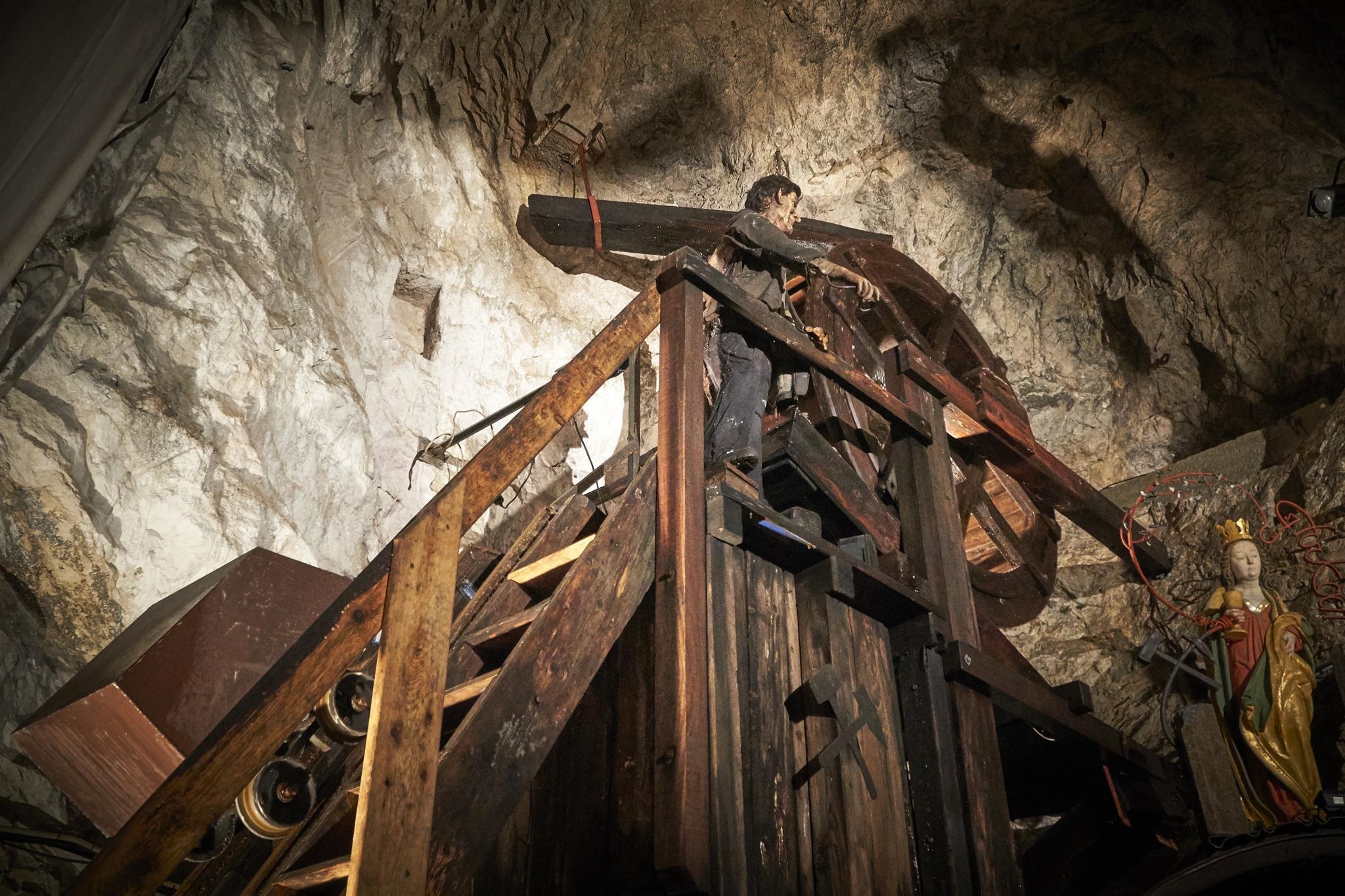
Schaubergwerke Terra Mystica & Terra Montana
6.8 km away, in Bad Bleiberg
Two show mines at Bad Bleiberg near Villach, entered by a long miners' slide, presenting the valley's centuries of lead and zinc mining underground.
Bergbau-Museum
8.4 km away, in Bad Bleiberg
A mining museum in Bad Bleiberg west of Villach, documenting the centuries of lead and zinc mining that shaped the valley.
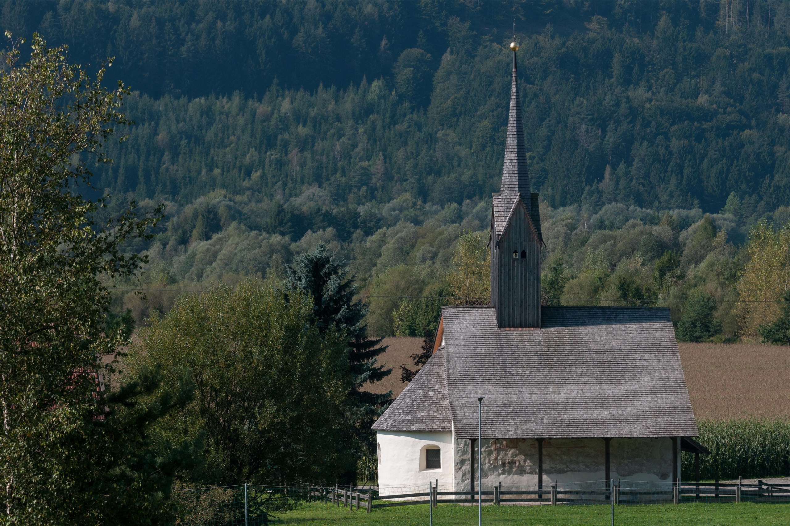
Kirche Lansach
8.8 km away, in Weißenstein
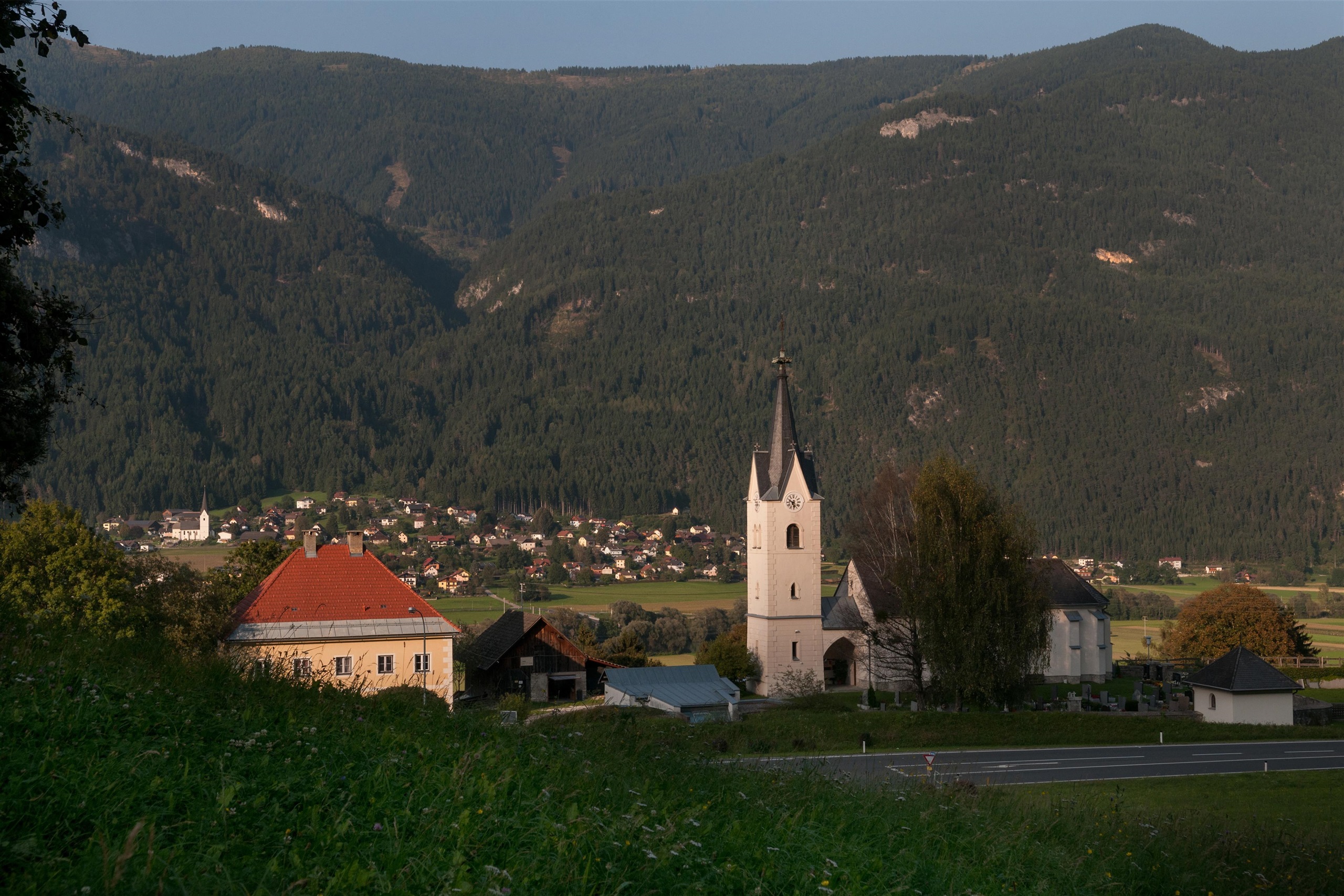
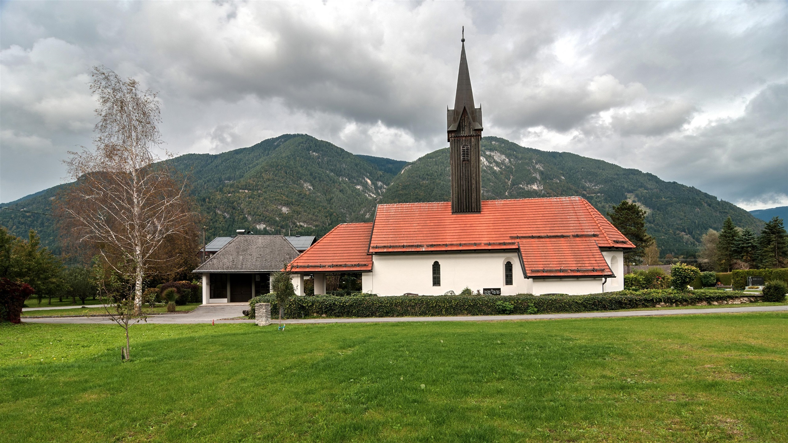
A small village church at Lansach near Weissenstein in the lower Drau valley, one of a cluster of country churches west of Villach.
Kirche Kellerberg
9.4 km away, in Weißenstein
The village church of Kellerberg in the Drau valley near Weissenstein, a small historic church west of Villach.
Canyoning
9.4 km away, in St. Stefan im Gailtal
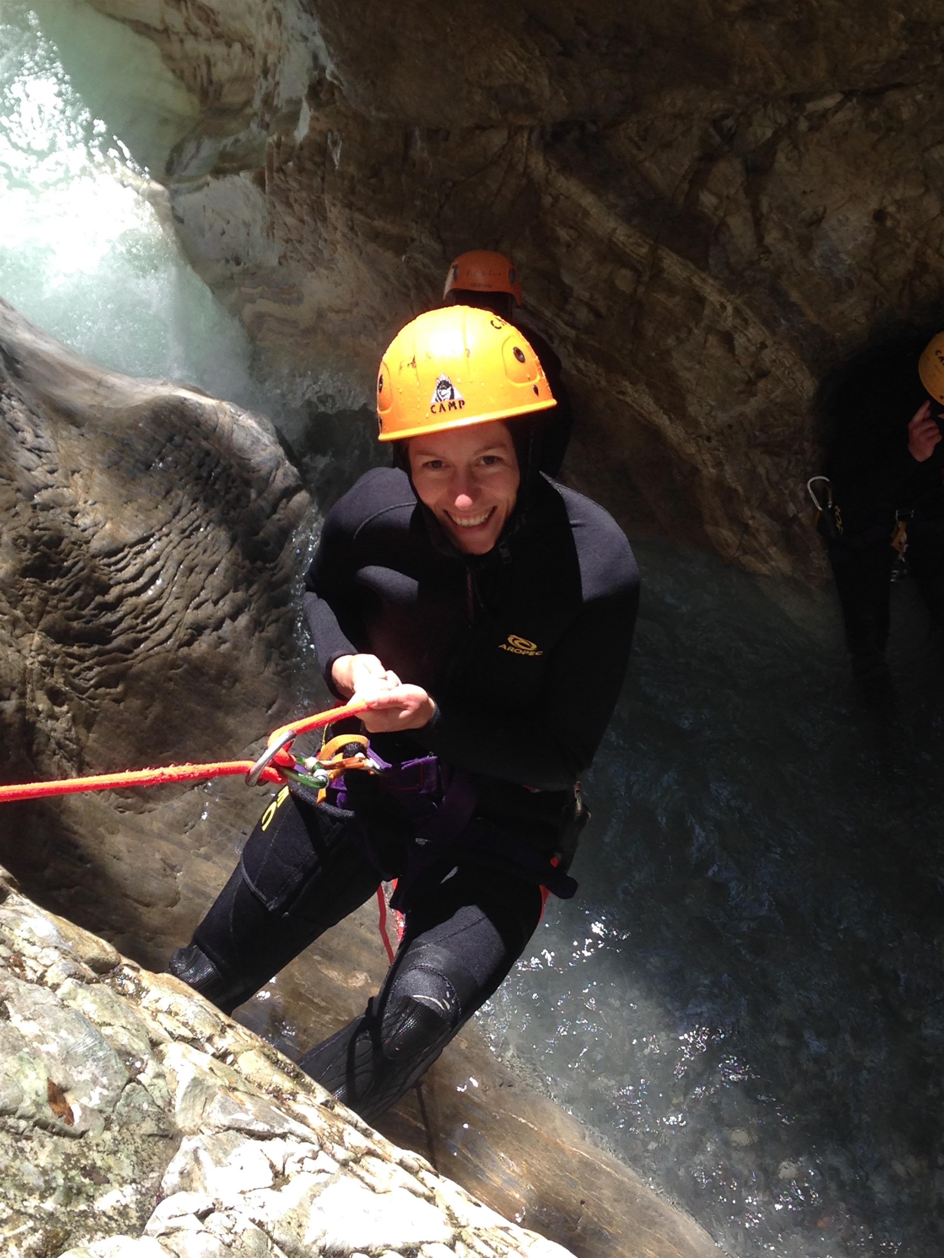
A guided canyoning tour for adults through the Vorderberger Klamm in the Gailtal, with abseils and jumps inside the gorge.
Dobratsch Gipfelhaus
9.6 km away, in Bad Bleiberg
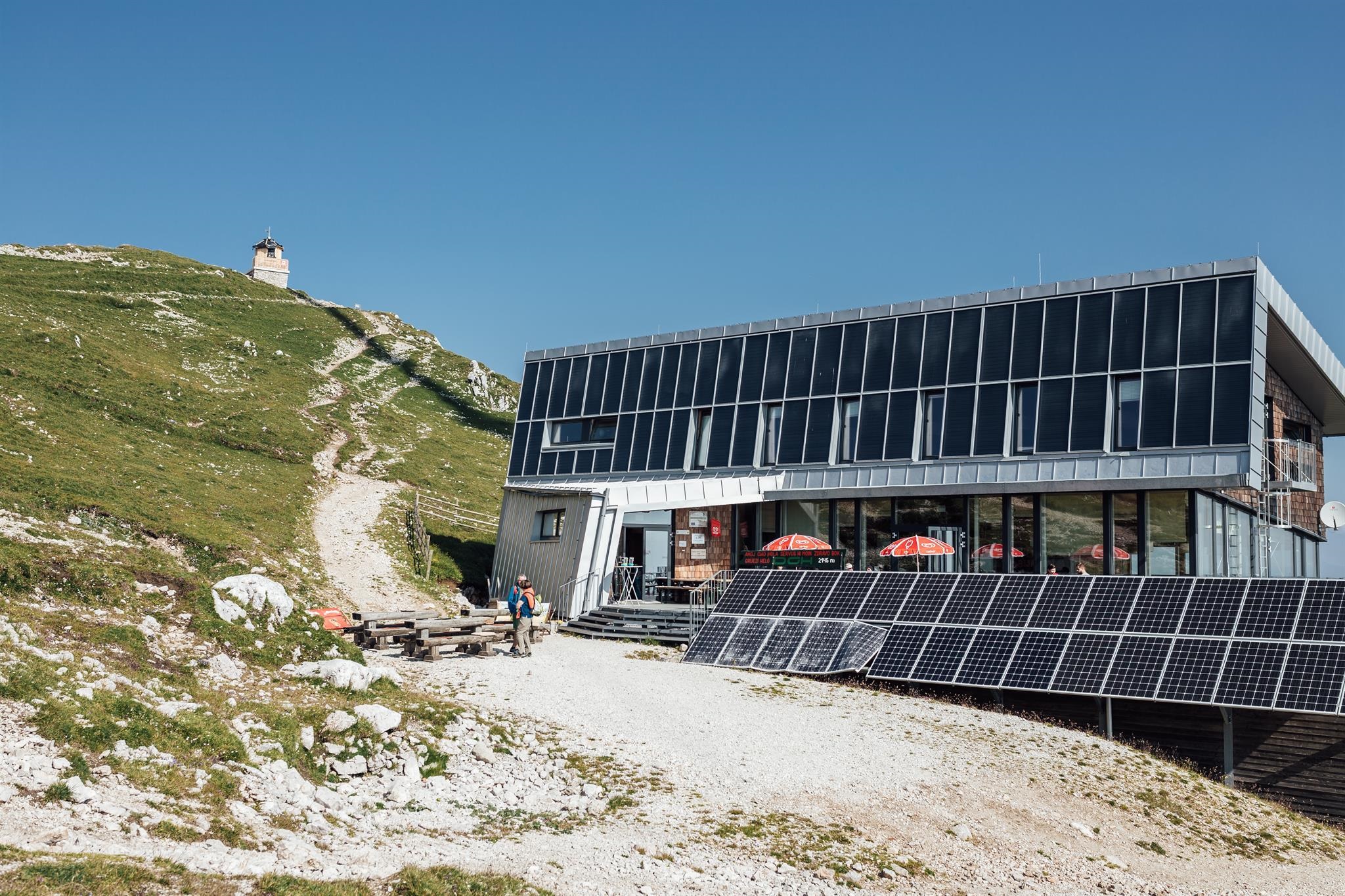
A refuge just below the 2,166 m summit of the Dobratsch, among Austria's oldest alpine huts, reached on foot from the Villacher Alpenstraße.
Erlebnis-Naturbad Vorderberg
9.6 km away, in St. Stefan im Gailtal
A natural swimming pool at Vorderberg on the R3 cycle route, with a service point and four pitches for campers.
1. Kärntner Erlebnispark
12.4 km away, in Hermagor-Pressegger See
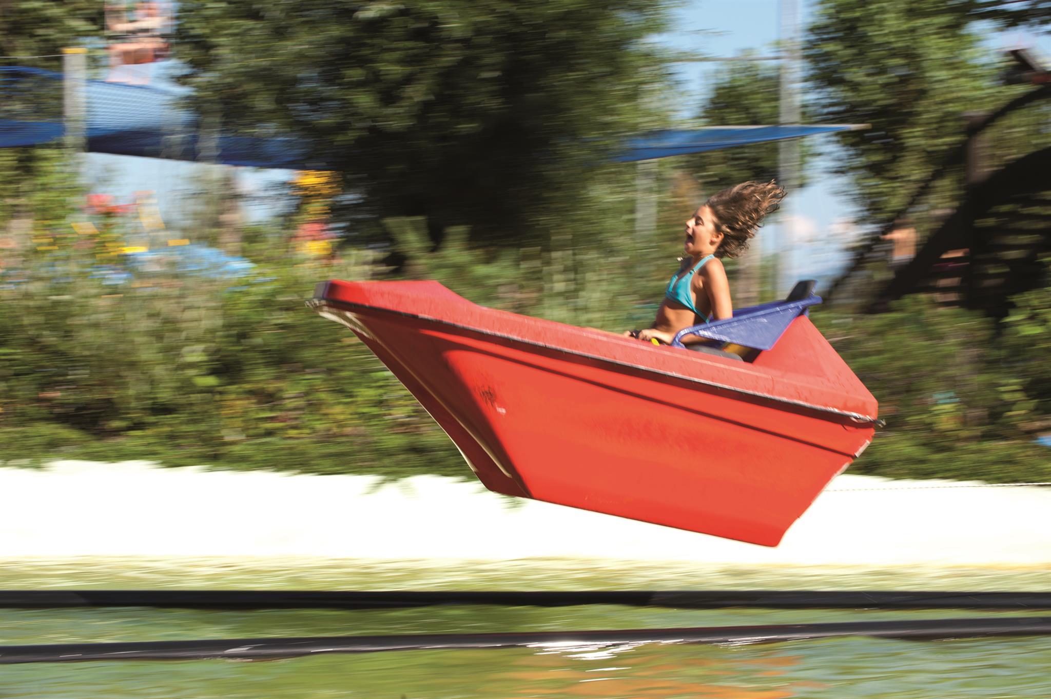
An amusement park at Presseggersee with a water jet, free-fall tower, trampolines and a toddlers' area.
Spielplatz "Im Reich der Seehexe"
12.5 km away, in Hermagor-Pressegger See
A playground at the Presseggersee built around the local Seehexe story.
Die Rosstratten
12.9 km away, in Bad Bleiberg
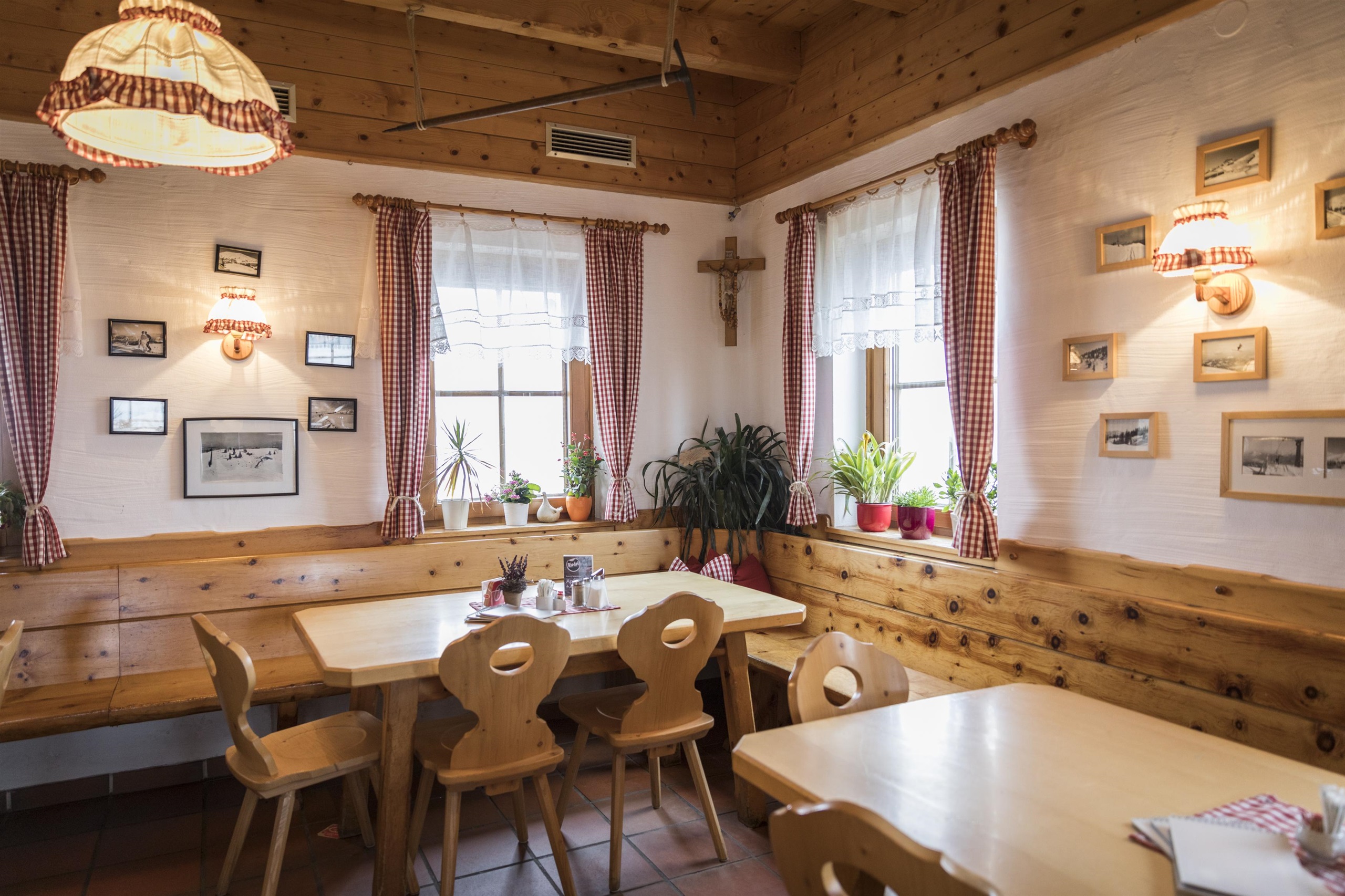
A pasture restaurant at the Rosstratten on the Dobratsch above Bad Bleiberg, near the top of the Villacher Alpenstraße and a starting point for summit walks.
Kirche Töplitsch
13.1 km away, in Weißenstein
A small church at Töplitsch near Weissenstein in the Drau valley, a quiet rural church between Villach and Paternion.
Kirche Puch
13.7 km away, in Weißenstein
The village church of Puch near Weissenstein, a small country church above the Drau valley west of Villach.
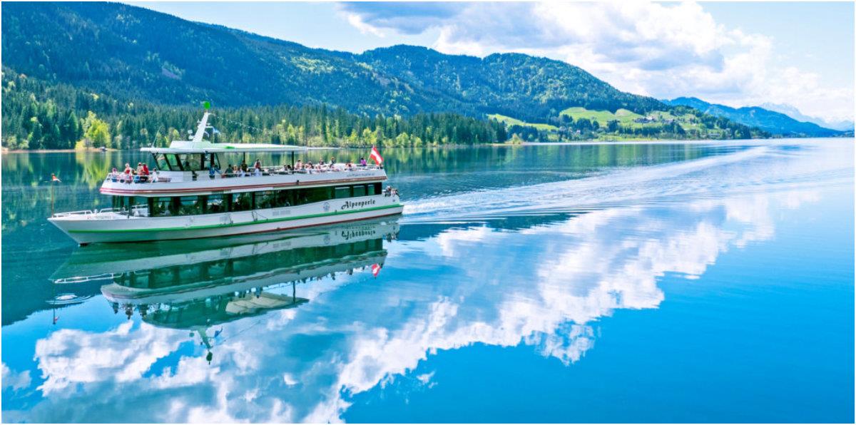
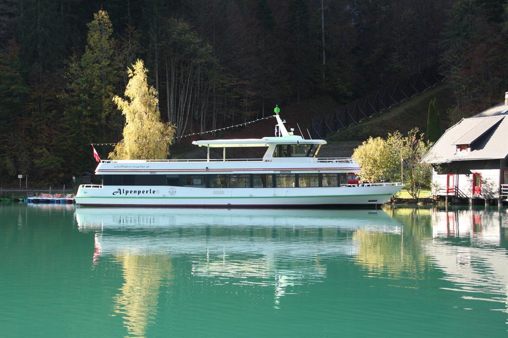
Weissensee Schifffahrt Müller
13.7 km away, in Stockenboi
Scheduled boats on the Weissensee from the Stockenboi shore.
Weissensee Schifffahrt
13.8 km away, in Stockenboi
Passenger boats crossing the Weissensee, the standard way to reach the roadless eastern end.
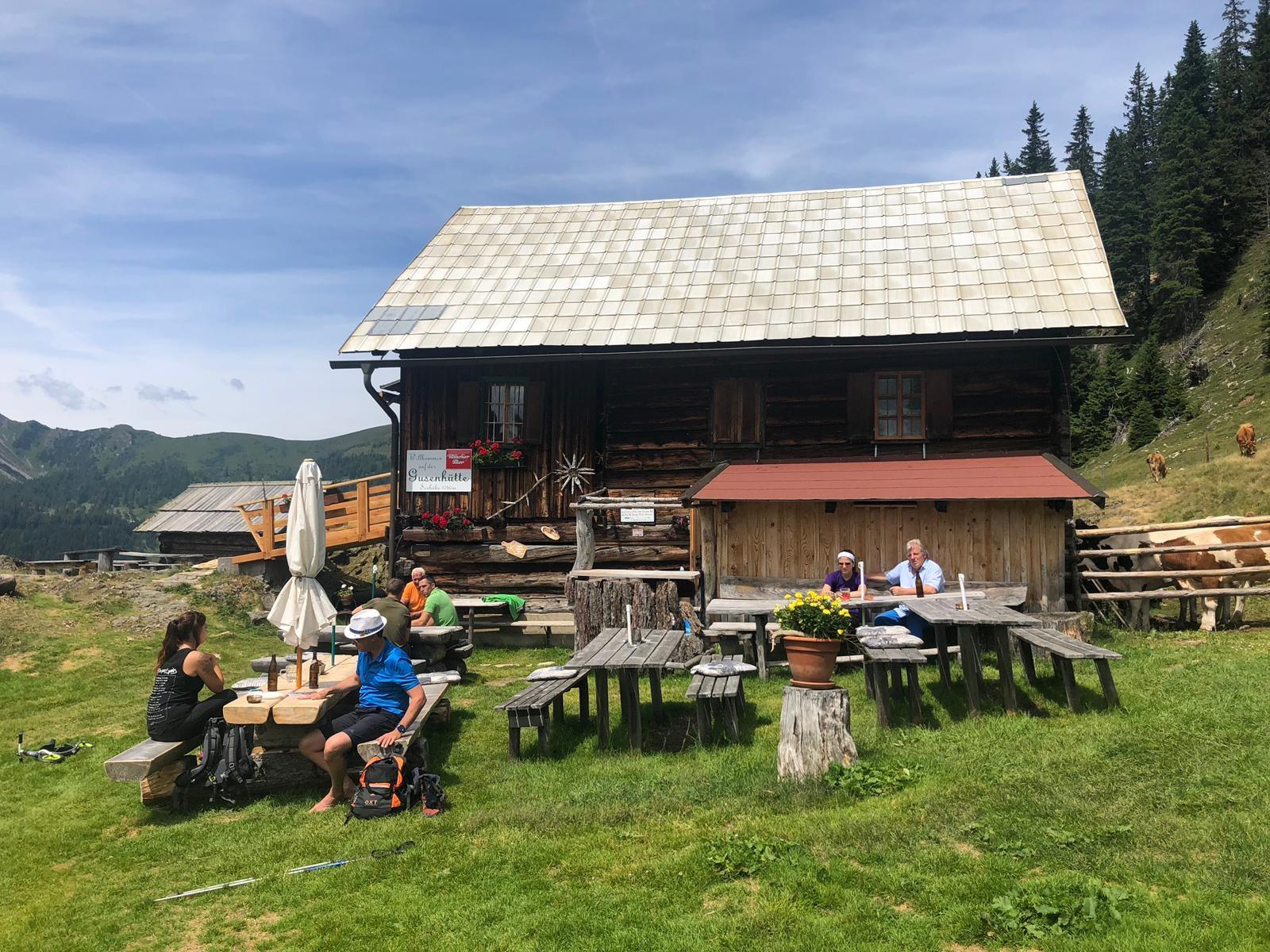
Gusenalmhütte
13.8 km away, in Stockenboi
A hut below the Goldeck, reached from the Seetal car park at the end of the Goldeck panorama road or from the lift station at 1,780 m.
 Historic site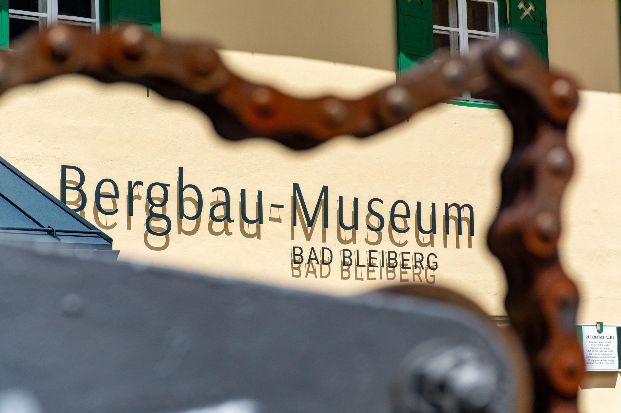
 Mountain hut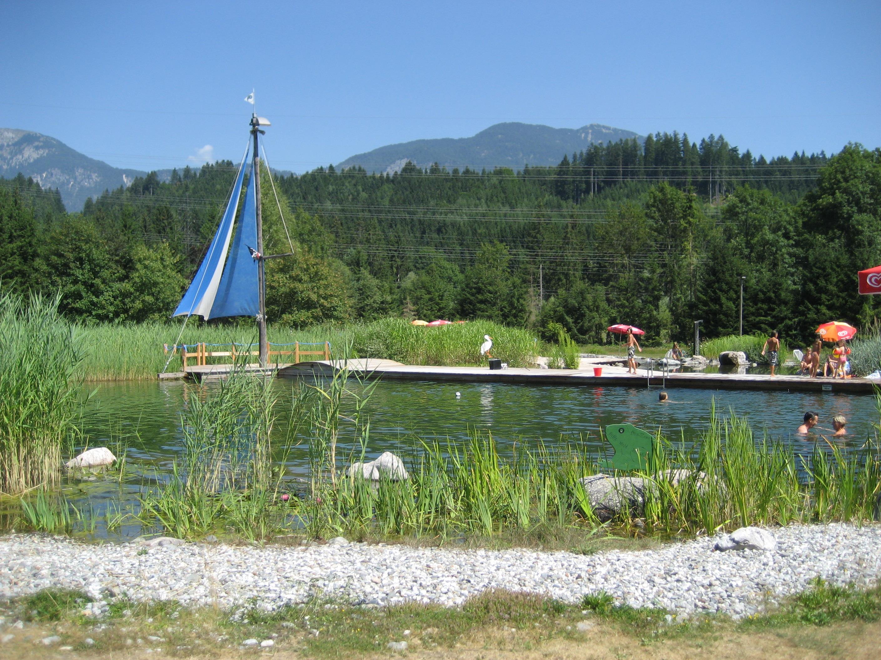

Nothing of this kind in Paternion.
Routes
13 from neighbouring places
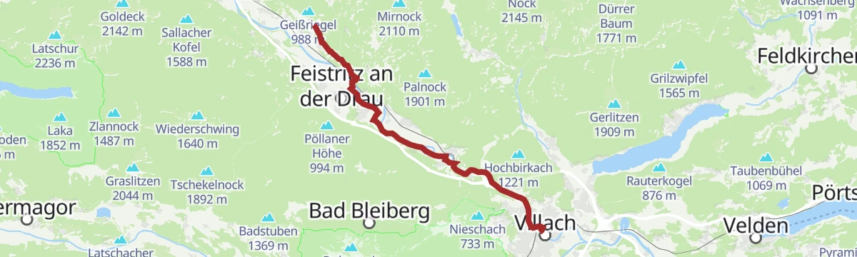
Drau Auen Runde
An easy 11 km round in the lower Drautal near Paternion, following the river's floodplain woods for part of the way.
- 11.3 km
- Distance
- 123 m
- Ascent
- 2 h 58 min
- Duration
Jakobsweg Kärnten, 7. Etappe: Villach - St. Jakob ob Ferndorf
The seventh day of the Carinthian pilgrim route, some 27 km from the centre of Villach north-west to St. Jakob ob Ferndorf, about seven hours on foot.
- 27.3 km
- Distance
- 311 m
- Ascent
- 6 h 55 min
- Duration
- 4
- Check-ins
Radbus Tour von Spittal an der Drau zum Ossiacher See
A flat run down the Drau to Villach and on to Annenheim at the west end of the Ossiacher See, below the Kanzelbahn.
- 49.7 km
- Distance
- 87 m
- Ascent
- 4 h 30 min
- Duration
- 9
- Check-ins
Weg des Buches, Variante 7A. Etappe: Fresach - Bad Bleiberg
A stage of the Protestant 'Weg des Buches' out of Fresach, 17 km and roughly six hours with more than 1,000 m of climbing.
- 16.9 km
- Distance
- 1 019 m
- Ascent
- 6 h 34 min
- Duration
Transromanica-Tour 2: Spittal an der Drau - Villach - Ossiacher See
A day's easy riding from the Drau at Spittal to Villach and the lakeside campsites at Ossiach, with the summer toboggan run passed on the shore.
- 56.4 km
- Distance
- 153 m
- Ascent
- 5 h 9 min
- Duration
- 9
- Check-ins
Radbus Tour von Spittal an der Drau zum Faaker See
A level ride from Spittal through Villach to the Faaker See at Drobollach, using the Drau ferry along the way.
- 53.4 km
- Distance
- 85 m
- Ascent
- 4 h 48 min
- Duration
- 7
- Check-ins
Ciclovia Alpe-Adria Radweg 4. Etappe: Spittal an d. Drau- Villach
A near-flat stage down the Drau from Spittal to Villach, part of the long Alpe-Adria route towards Italy.
- 39.0 km
- Distance
- 82 m
- Ascent
- 3 h 33 min
- Duration
Stollenwanderweg
7 km away, in Bad Bleiberg
A short themed walk of 5 km through Bad Bleiberg, following the traces of the valley's long history of lead and zinc mining.
- 5.2 km
- Distance
- 163 m
- Ascent
- 1 h 37 min
- Duration
Dobratsch - Nordansteig - Alpenlahner
9.3 km away, in Bad Bleiberg
A demanding ski tour out of the Bleiberg high valley, gaining over 1,250 m by way of the Alpenlahner to the Dobratsch summit.
- 3.7 km
- Distance
- 1 263 m
- Ascent
- 11 m
- Descent
- 3 h 10 min
- Duration
- 57
- Check-ins
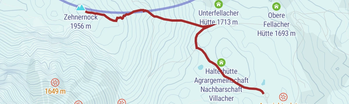
Dobratsch - Rosstratte bis Zehnernock
13 km away, in Villach
A short ski tour from the Rosstratte up to the Zehnernock, gaining a little over 200 m with the 10er Schutzhaus close by.
- 1.4 km
- Distance
- 217 m
- Ascent
- 0 m
- Descent
- 38 min
- Duration
- 33
- Check-ins
Dobratsch - Heiligengeist bis Rosstratte
13.8 km away, in Villach
A moderate ski climb of some 825 m from Heiligengeist up Villach's home mountain to the Rosstratte, passing the Pogöriacher Hütte.
- 4.6 km
- Distance
- 825 m
- Ascent
- 0 m
- Descent
- 2 h 19 min
- Duration
- 7
- Check-ins
Bewegungsarena Bad Bleiberg - Jakomini-Runde (B3)
8.2 km away, in Bad Bleiberg
A middle-distance Nordic-walking loop of nearly 8 km in the high valley of Bad Bleiberg.
- 7.8 km
- Distance
- 202 m
- Ascent
- 2 h 19 min
- Duration
Kobesnock - Überschreitung
6 km away, in Bad Bleiberg
A traverse in the Bleiberg high valley linking the Kobesnock and Zebernock, passing the Wertschacher Alm, with close to 1,000 m of ascent.
- 10.3 km
- Distance
- 1 021 m
- Ascent
- 6 h 17 min
- Duration
- 6
- Check-ins
Von Bad Bleiberg nach Villach
8.6 km away, in Bad Bleiberg
A point-to-point run down from the Bleiberg valley to Villach, passing the Töplitsch power station and finishing at the city tourist office.
- 45.7 km
- Distance
- 616 m
- Ascent
- 4 h 38 min
- Duration
- 7
- Check-ins
Bewegungsarena Bad Bleiberg - Leininger-Runde (B1)
8.2 km away, in Bad Bleiberg
The shortest of the Bad Bleiberg Nordic-walking loops, barely 3 km with almost no gradient.
- 3.1 km
- Distance
- 31 m
- Ascent
- 48 min
- Duration
Bewegungsarena Bad Bleiberg - Holenia-Runde (B4)
8.6 km away, in Bad Bleiberg
The longest of the Bad Bleiberg Nordic-walking rounds, 11 km with some 350 m of climbing.
- 11.5 km
- Distance
- 330 m
- Ascent
- 3 h 30 min
- Duration
- 1
- Check-ins
Weg des Buches, 12. Etappe: Bad Bleiberg - Warmbad Villach
7.2 km away, in Bad Bleiberg
The twelfth day of the Weg des Buches, dropping from Bad Bleiberg past the Friedlhütte and the Völkendorfer huts to Warmbad Villach in about four hours.
- 17.3 km
- Distance
- 245 m
- Ascent
- 5 h 2 min
- Duration
- 7
- Check-ins
Rund um den Dobratsch (optional mit Bike Shuttle)
8.6 km away, in Bad Bleiberg
A long circuit right around the Dobratsch from Bad Bleiberg, dropping to Villach and returning along the Gail valley floor.
- 64.9 km
- Distance
- 597 m
- Ascent
- 6 h 19 min
- Duration
- 7
- Check-ins
Bewegungsarena Bad Bleiberg - Perscha-Runde (B2)
8.2 km away, in Bad Bleiberg
A short Nordic-walking loop of under 4 km on the floor of the Bad Bleiberg high valley, with very little climbing.
- 3.6 km
- Distance
- 75 m
- Ascent
- 1 h 2 min
- Duration
- 1
- Check-ins
Erzberg Höhenweg -Schwandnock - Hachelnock
8.6 km away, in Bad Bleiberg
A section of the Erzberg high route crossing several tops of the Bleiberger Erzberg, among them the Hachelnock and Lahnernock, with views to the Drautal and the Hohe Tauern.
- 10.0 km
- Distance
- 641 m
- Ascent
- 4 h 22 min
- Duration
- 4
- Check-ins



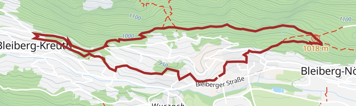



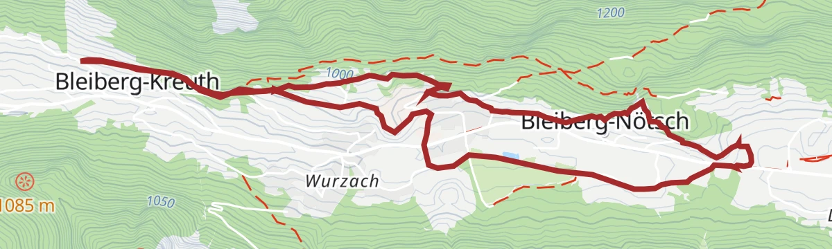


No routes of this kind in Paternion yet.
Planning a trip to Paternion?
Everything else Carinthia has, in one place


Take Paternion with you into the mountains
Every route on this page with 3D terrain, GPX navigation and offline maps — including the valleys with no signal.
Data sources
- Official website: nassfeld.at ↗
- Routes and highlights: Villach Tourismus, Nassfeld-Pressegger See Tourismus, Woerthersee
- Published as open data by the tourist boards named above.
- Region summary generated from the board's own material.
